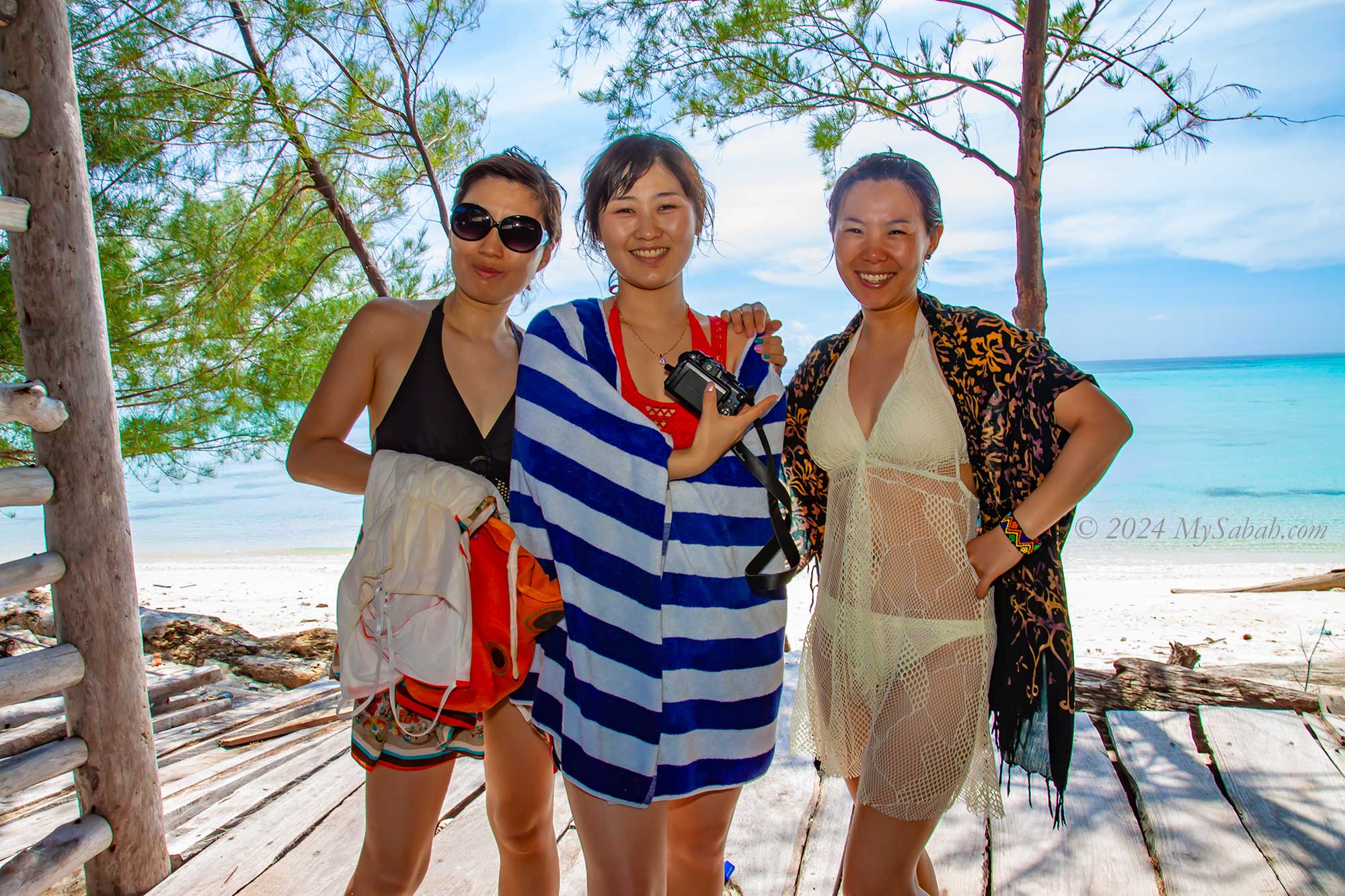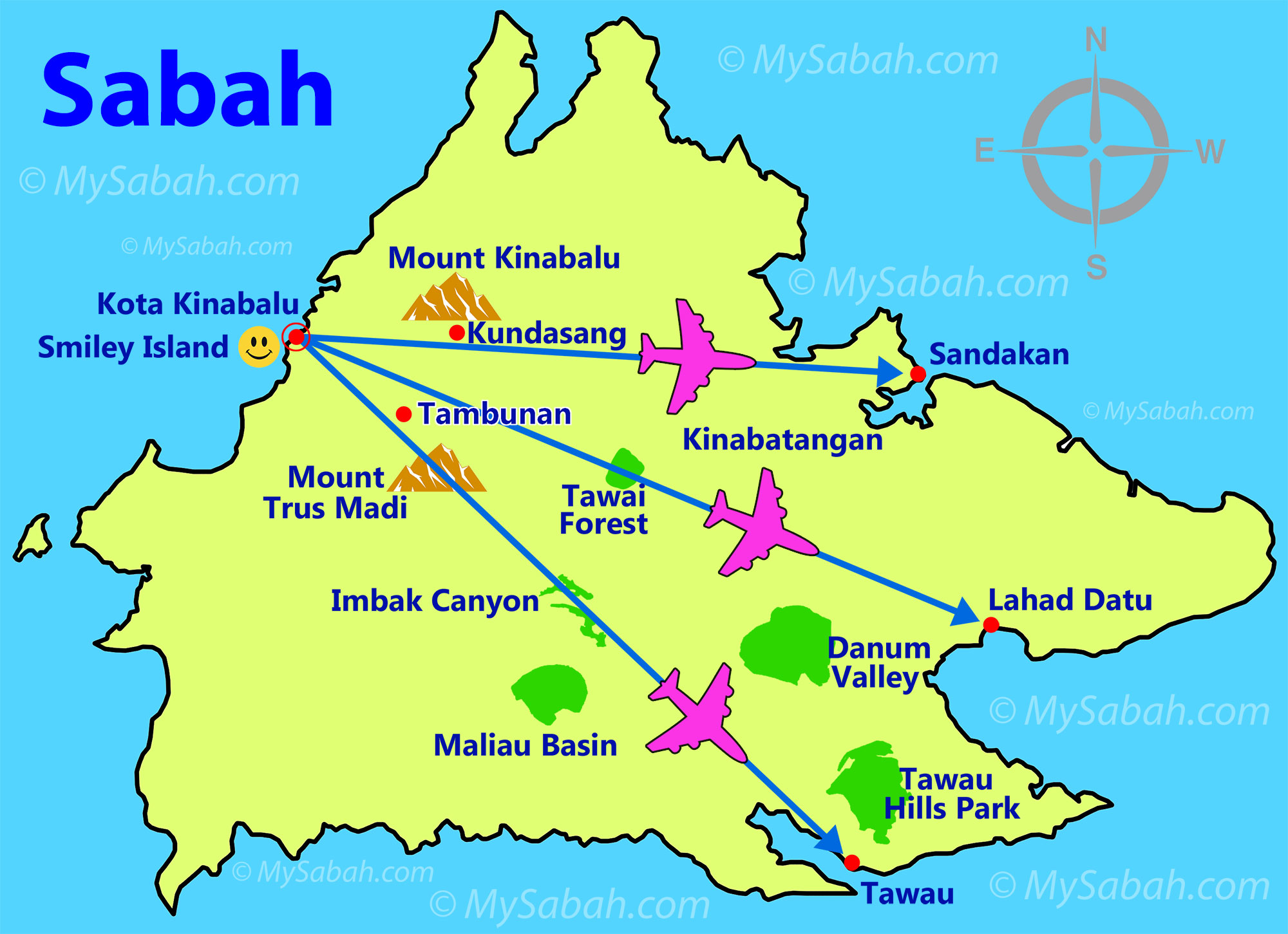
Welcome to our list of the top 10 travel destinations in Sabah. Handpicked for their popularity and quality, these attractions offer unforgettable experiences. Our recommendations are based on firsthand experiences, let’s dive into the captivating wonders of Sabah!
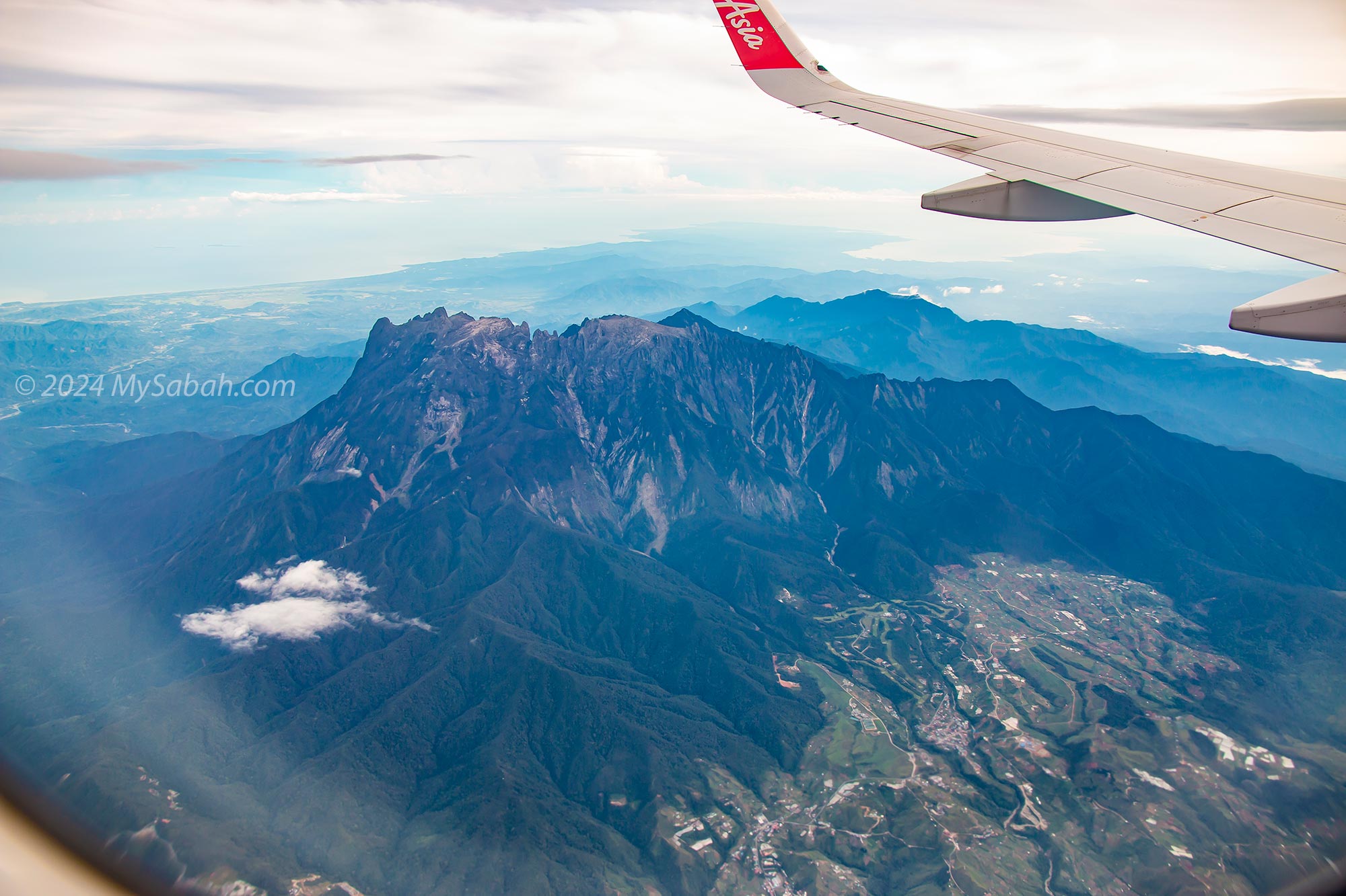
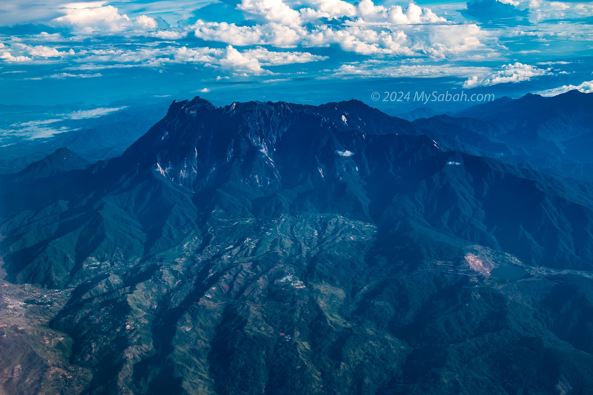
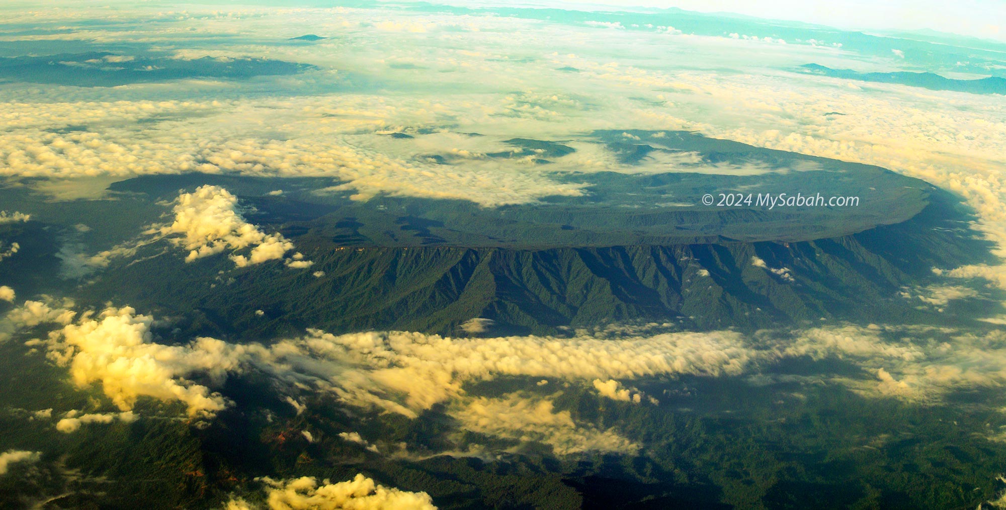
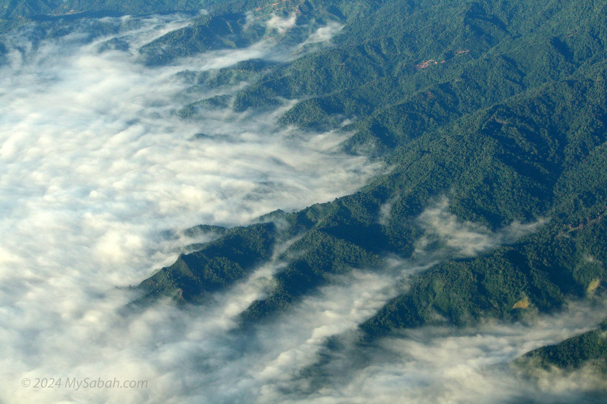
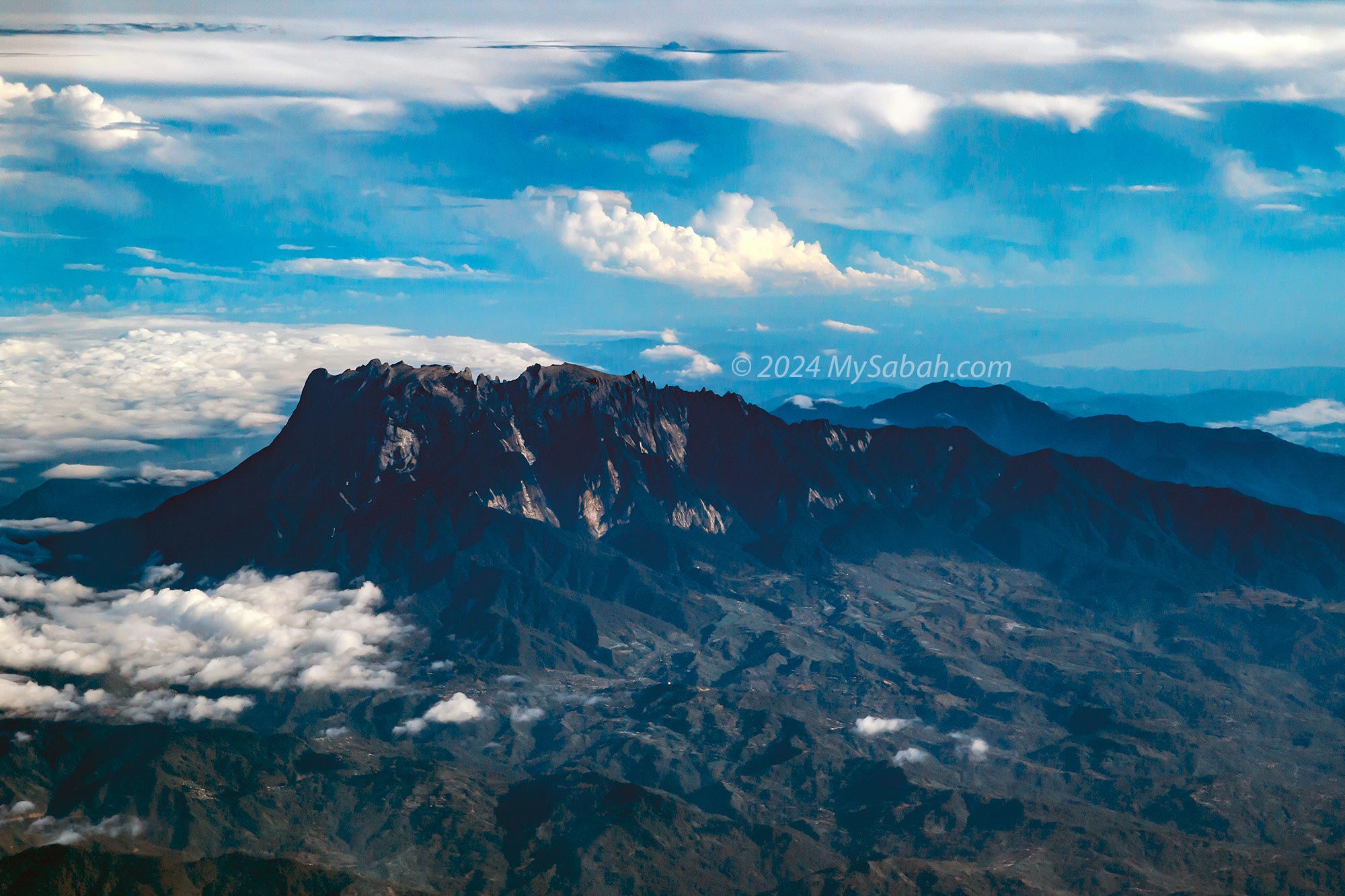
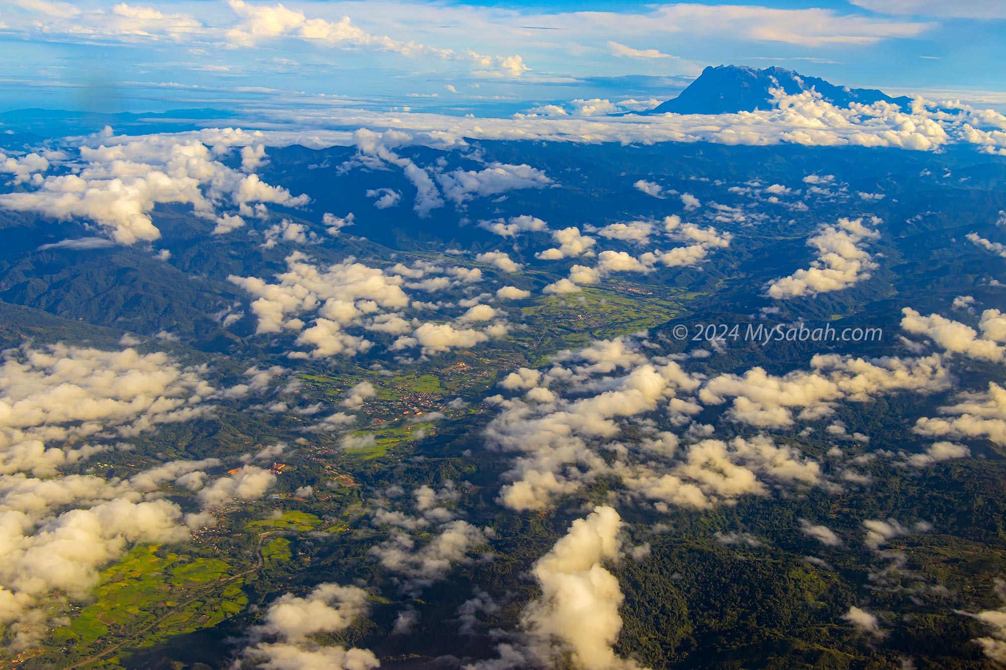
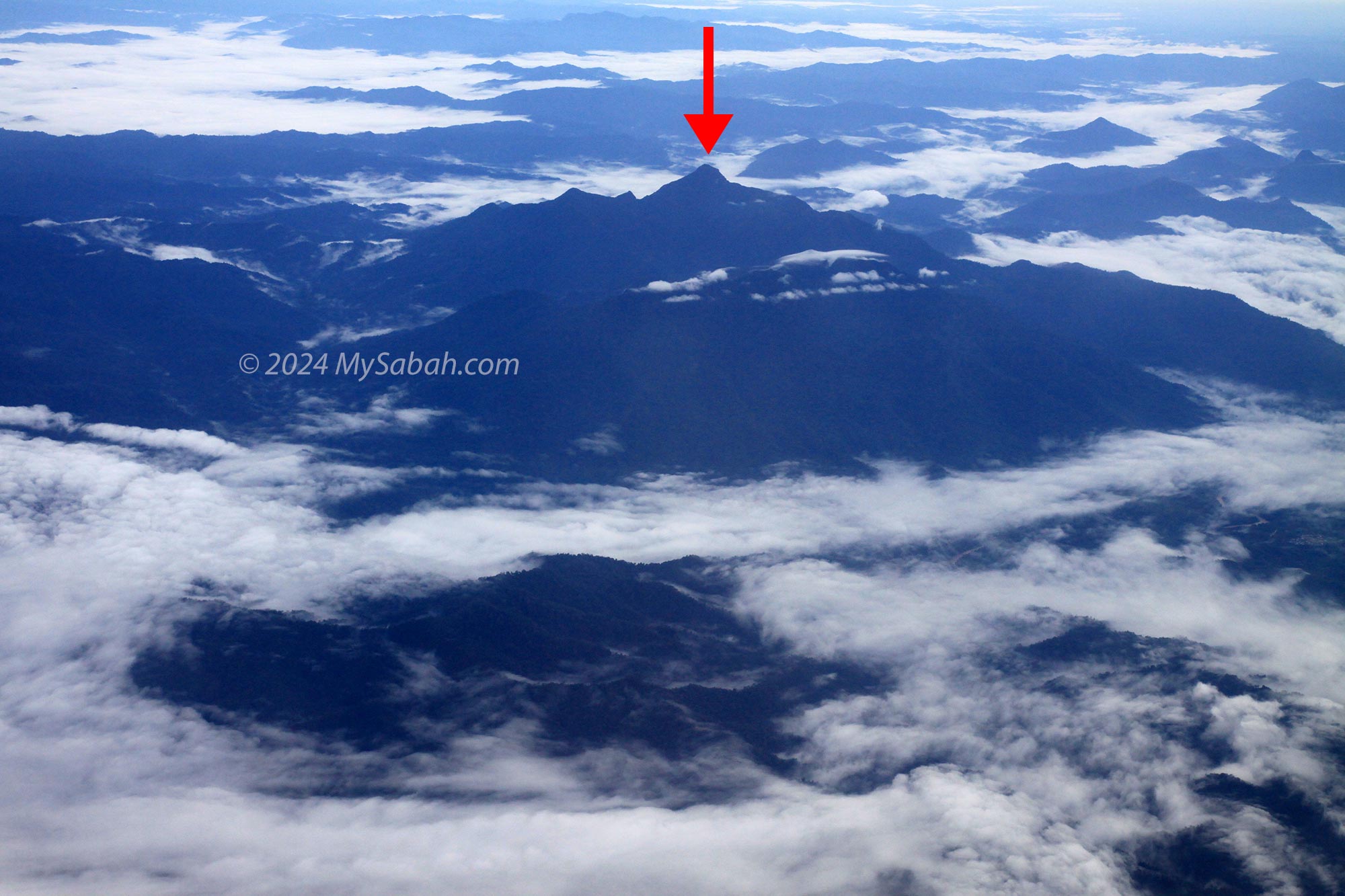
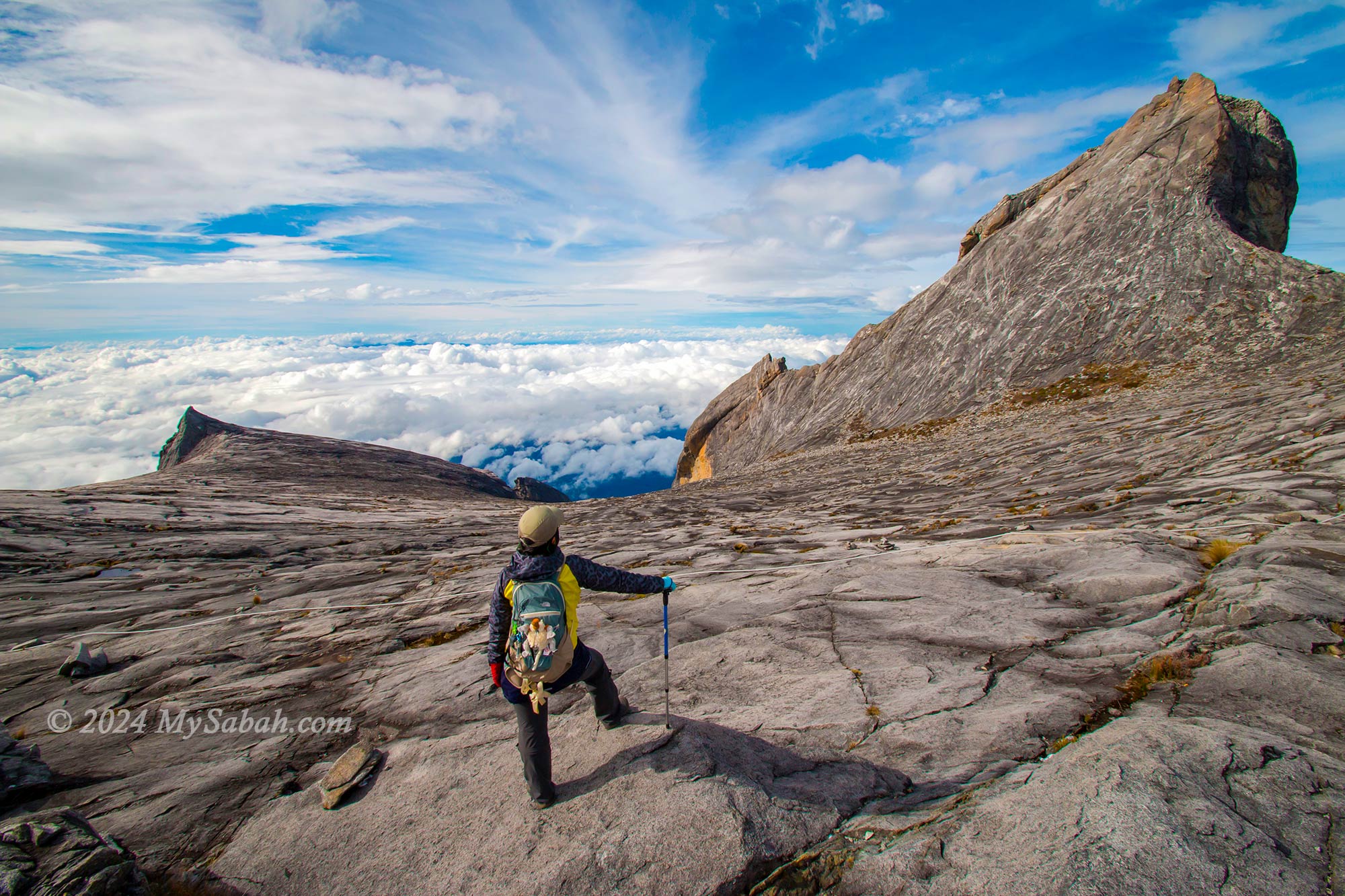
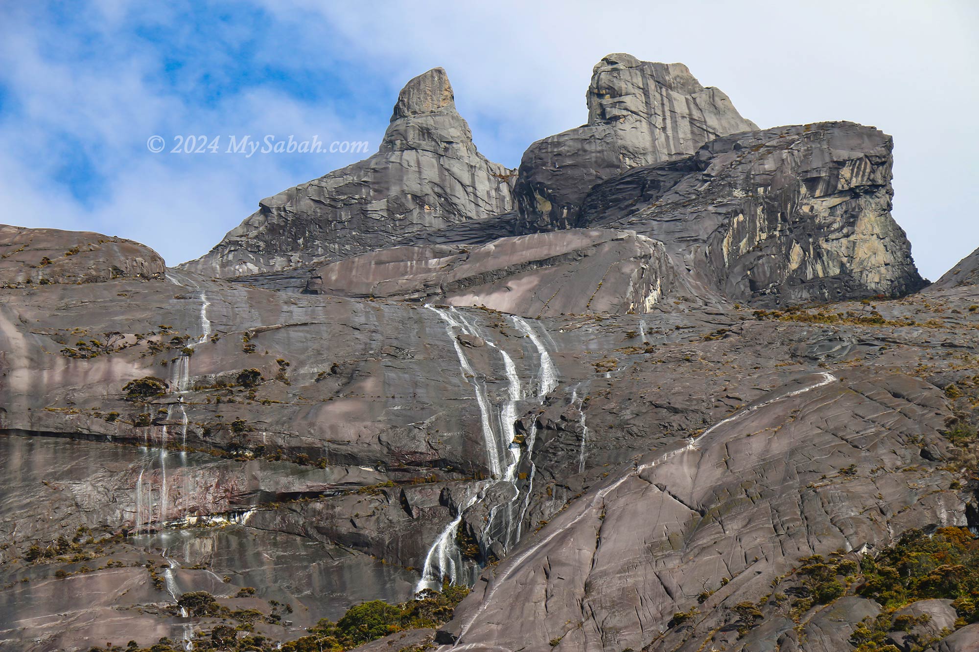
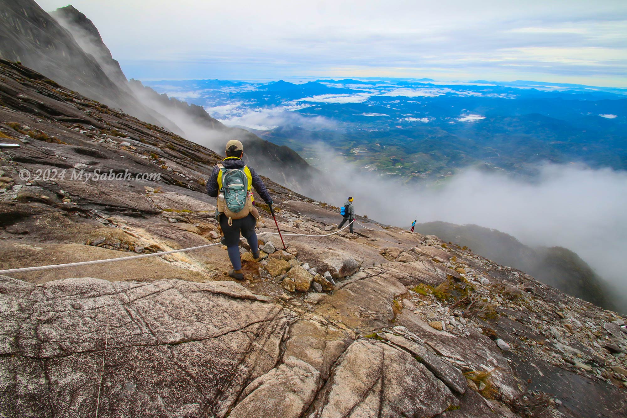
1. Mount Kinabalu (Kinabalu Park)
Climbing Malaysia’s tallest peak, Mount Kinabalu, is a must-do for any Sabah trip. Located within Kinabalu Park, a UNESCO Global Geopark, this mountain offers not just thrilling climbs but also lush nature trails teeming with unique plants and wildlife. Birdwatching in the park and highland stay at adjacent Kundasang are also popular activities among tourists.

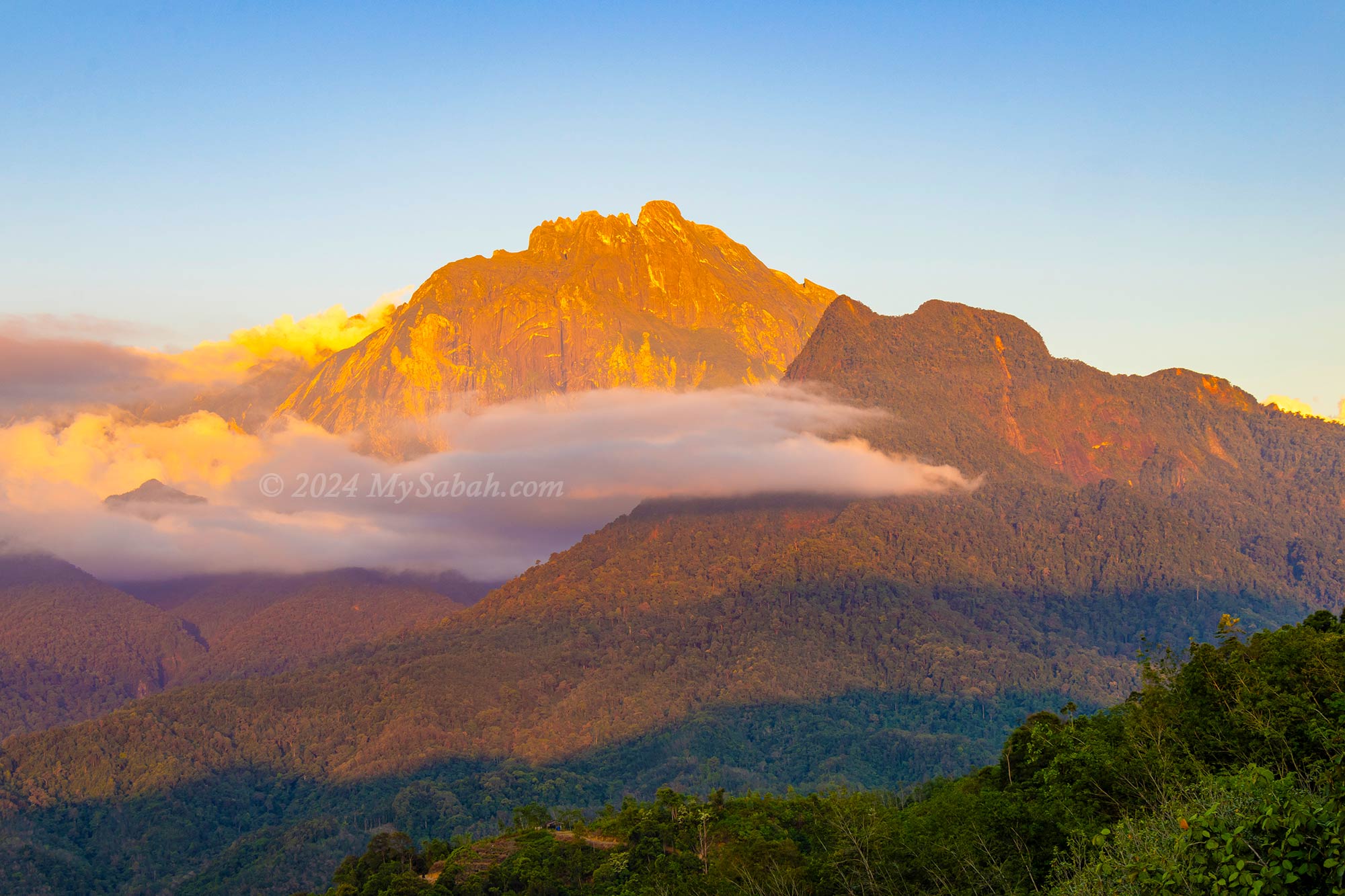
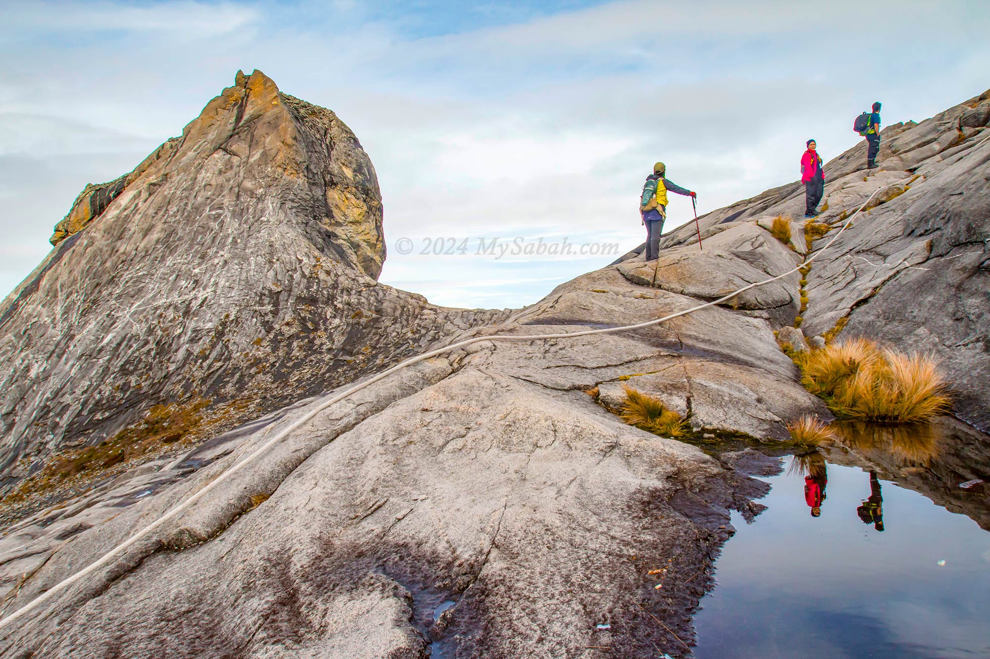
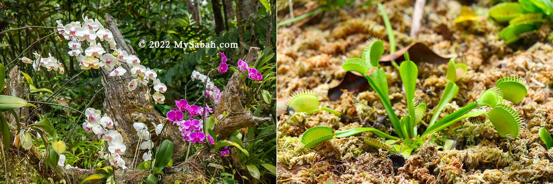
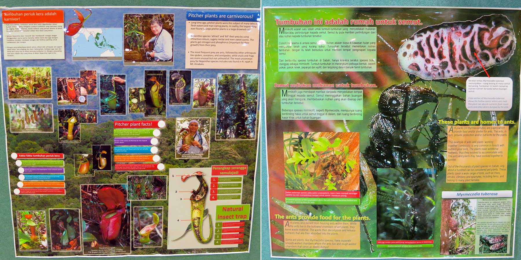
Do check out Mount Kinabalu Botanical Garden and join an interesting interpretation walk that introduces you to some flora of Borneo, e.g. Kinabalu Slipper Orchid and the mighty Nepenthes Rajah, a carnivorous pitcher plant capable of trapping small prey like mice! Read more…
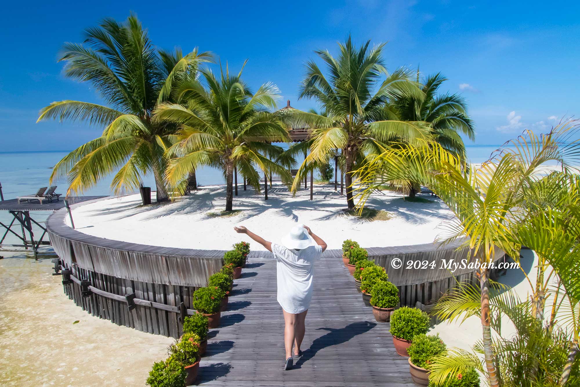
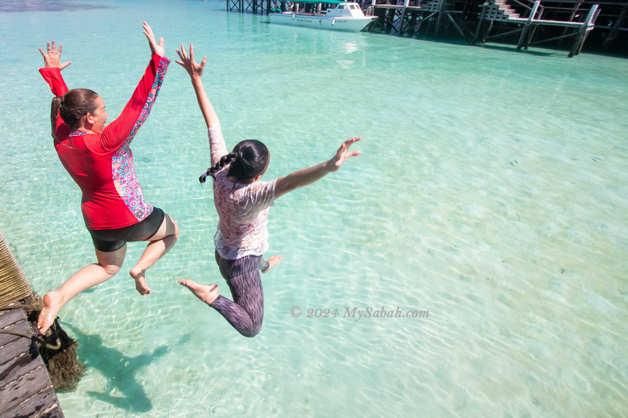
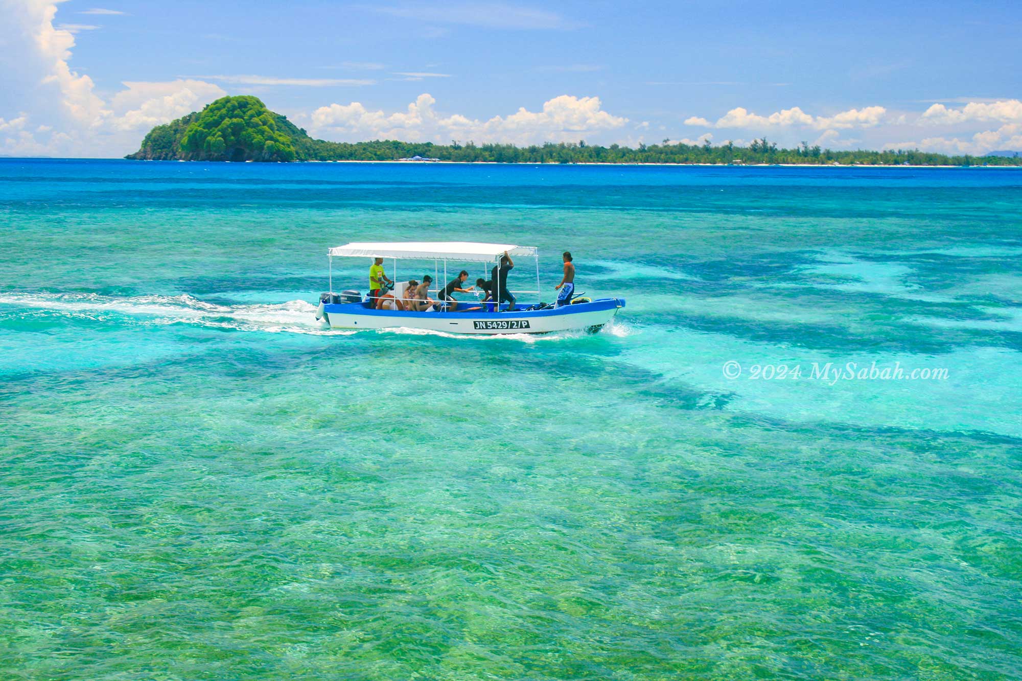
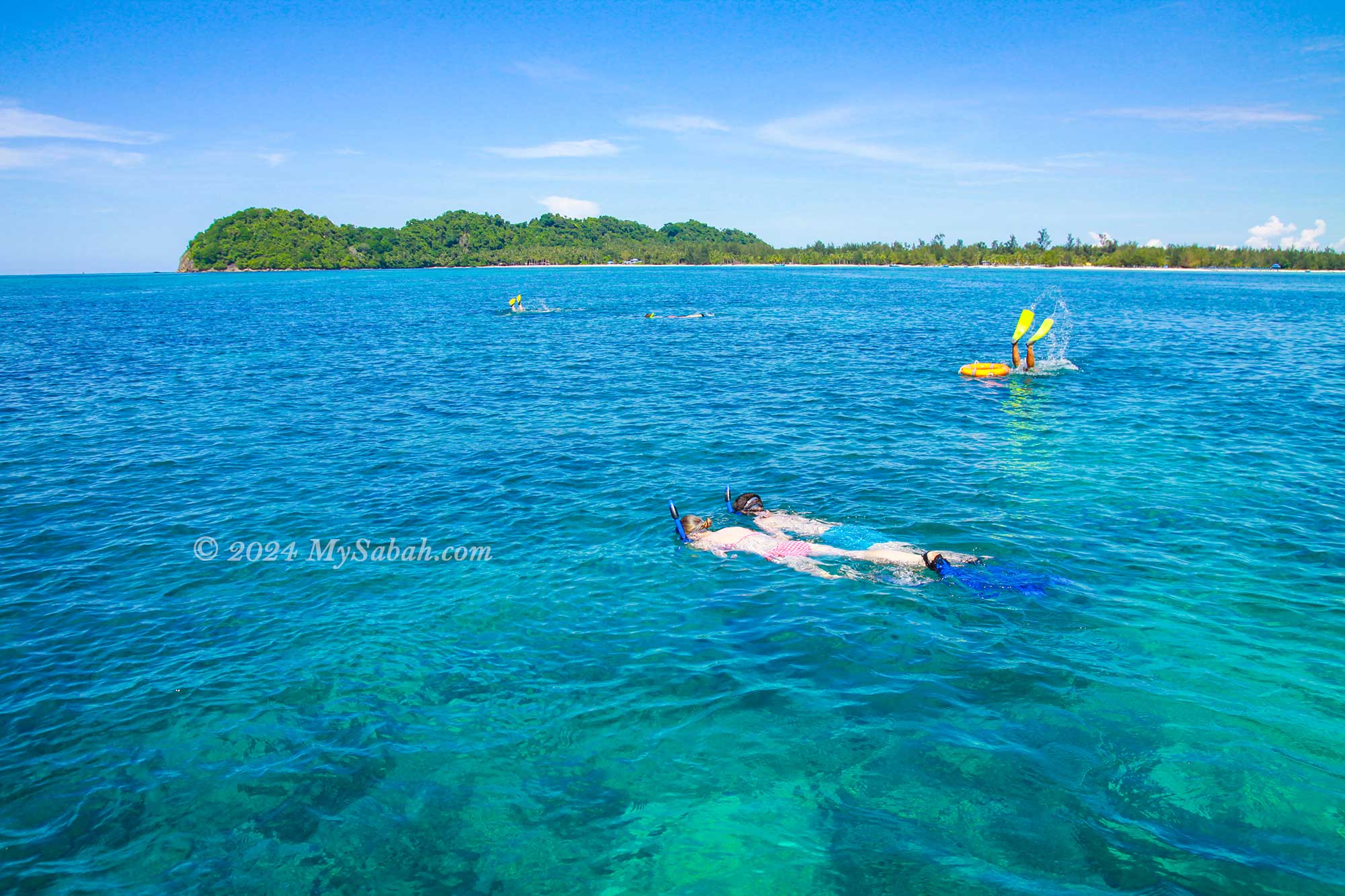
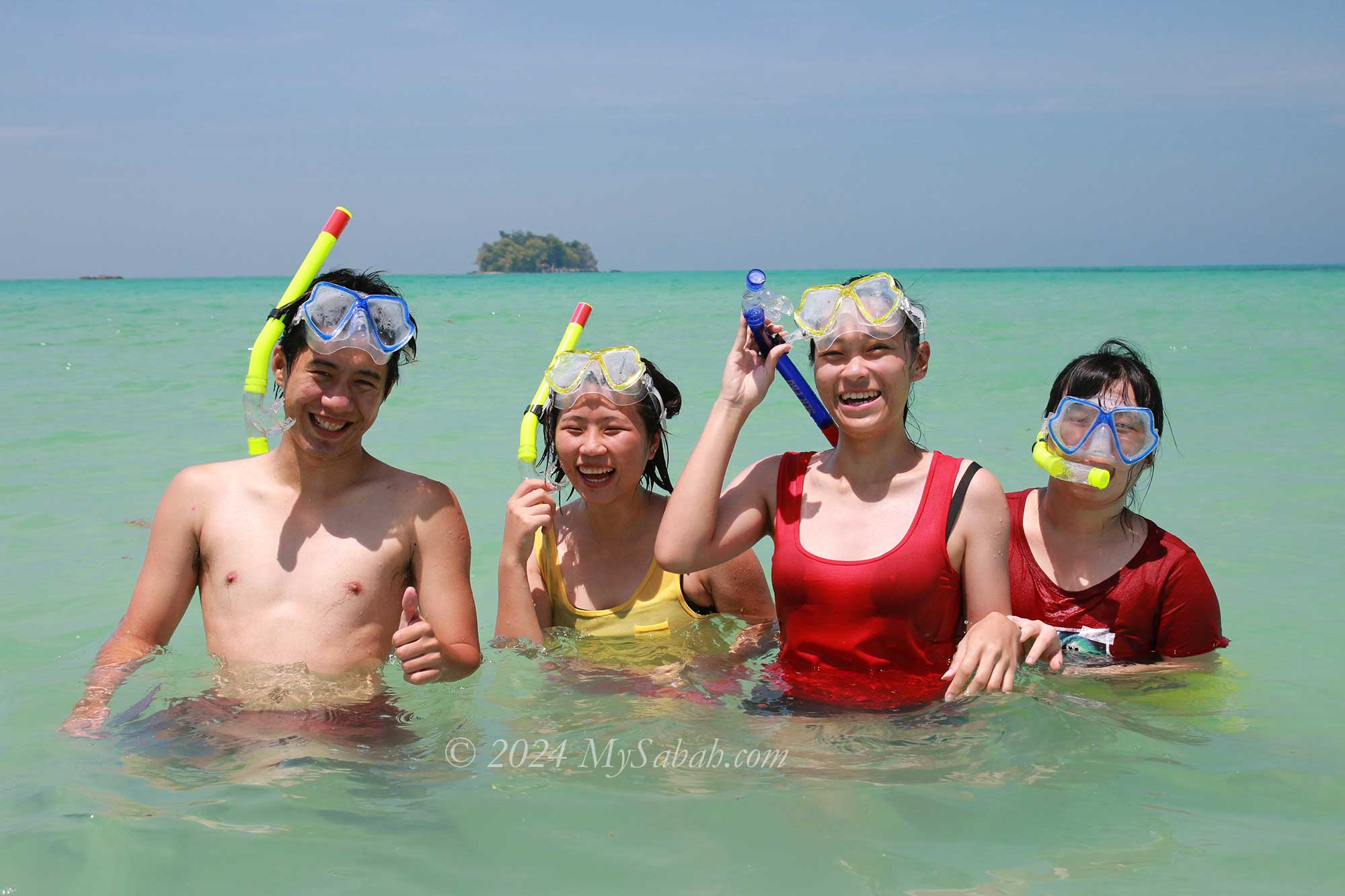
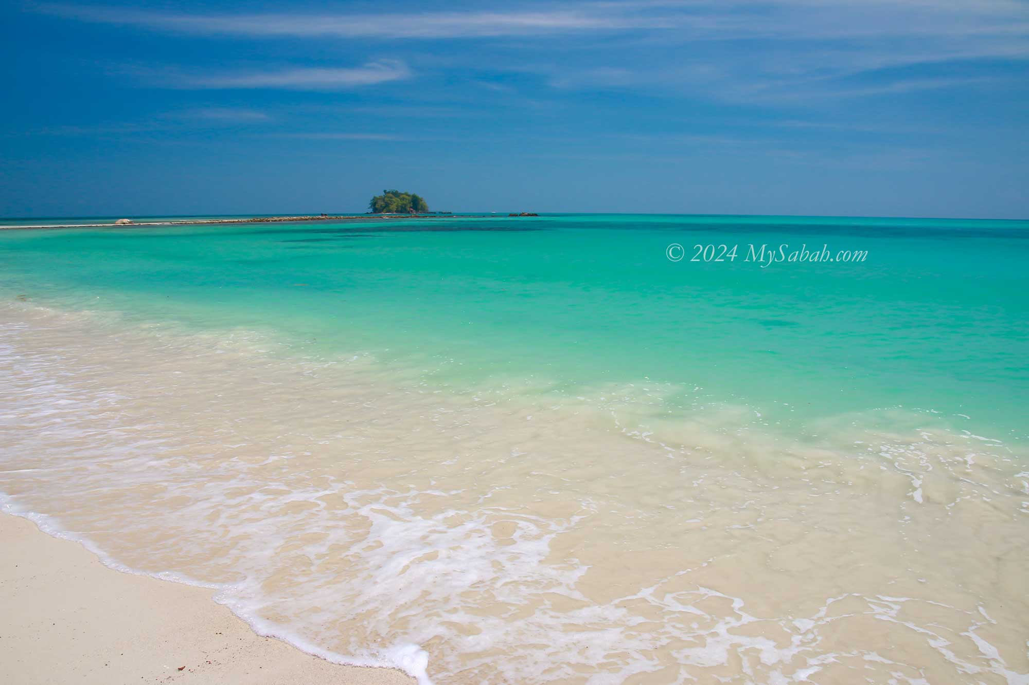
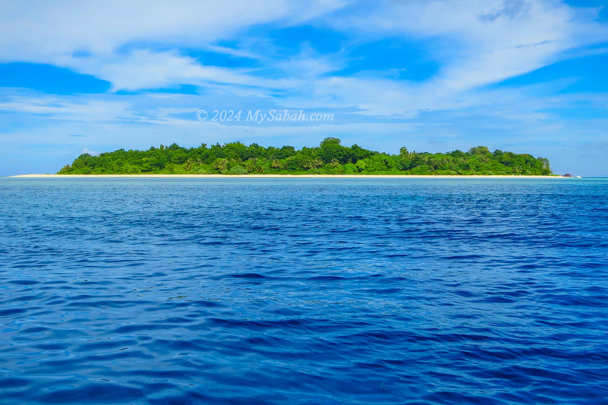
2. Tunku Abdul Rahman Marine Park
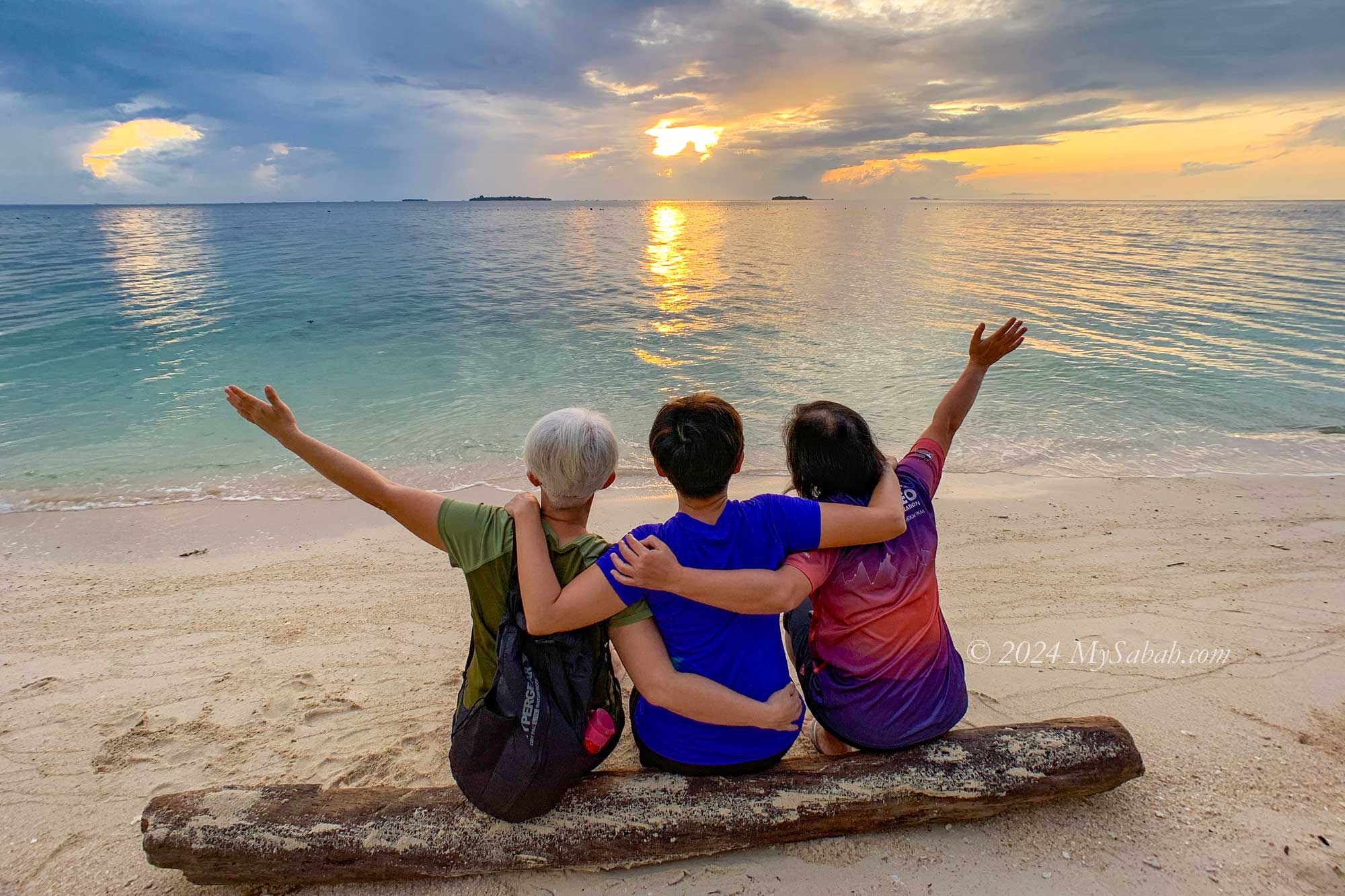
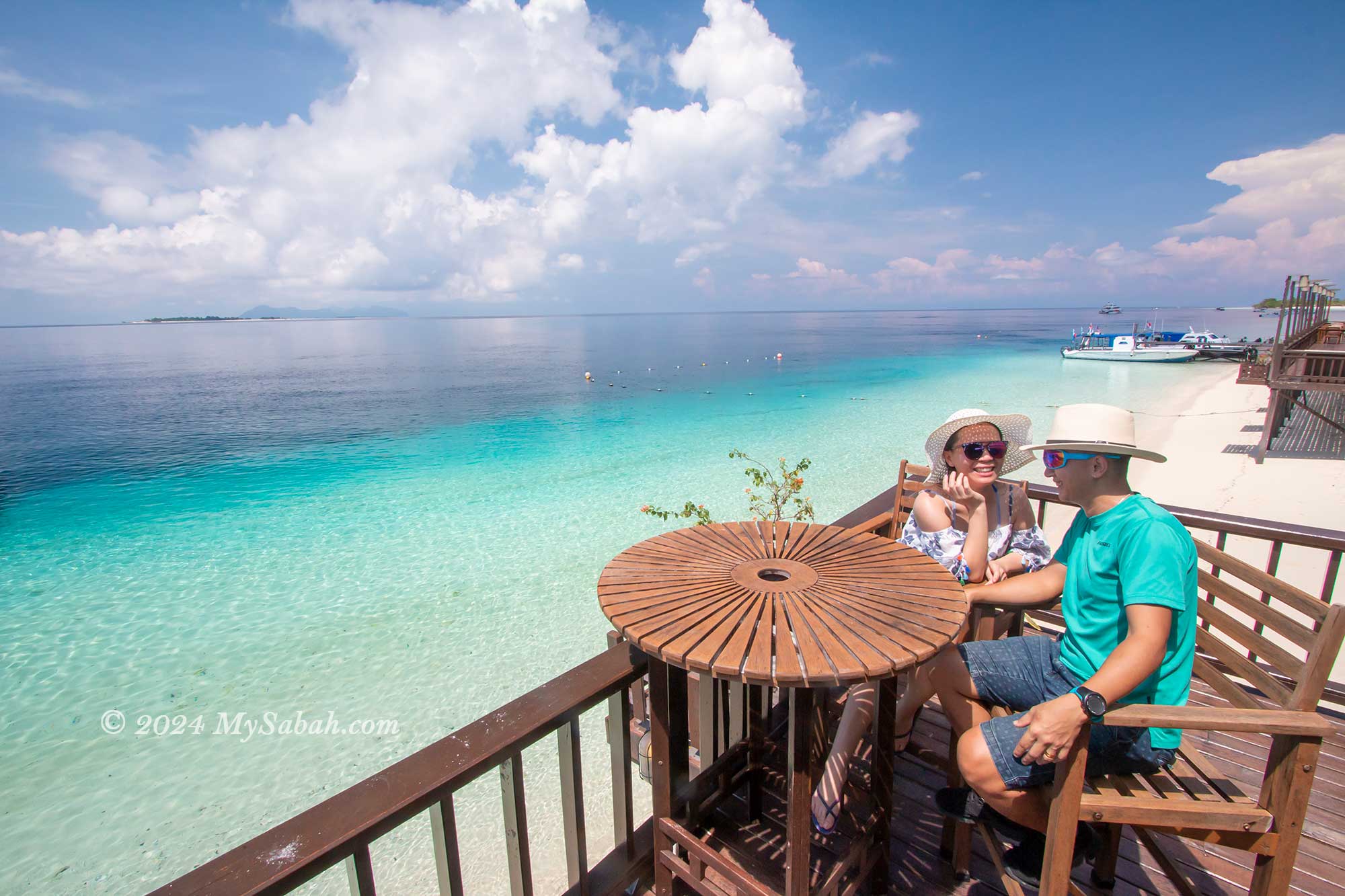
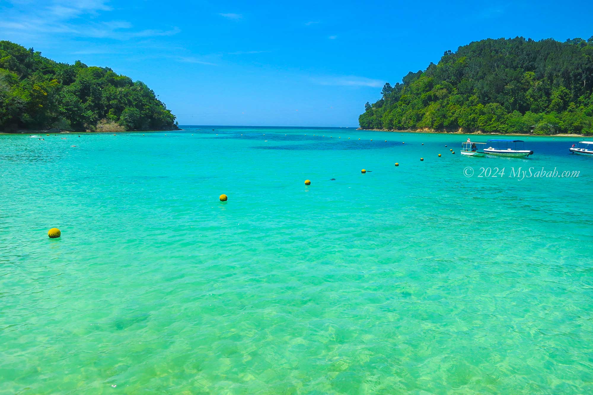
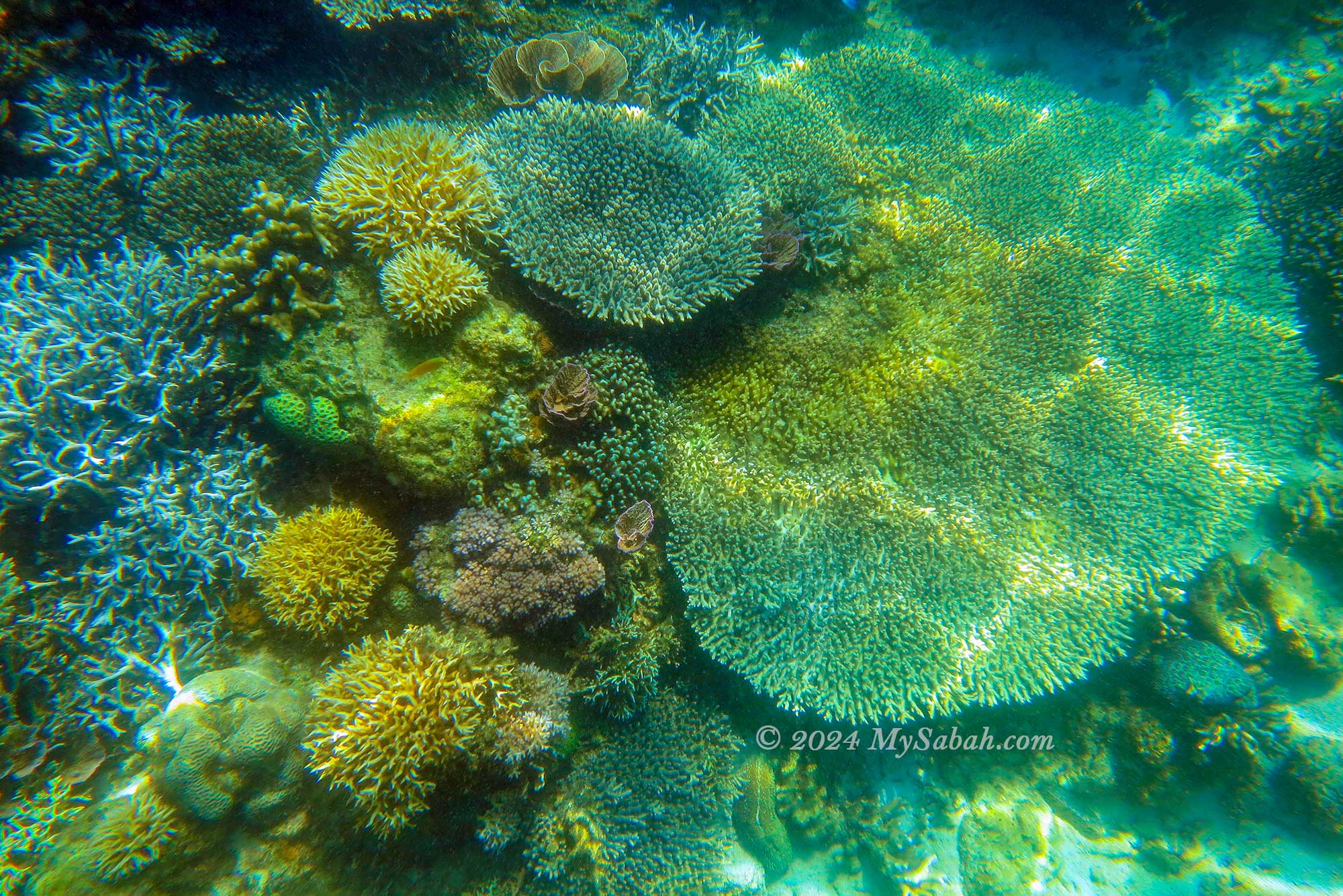
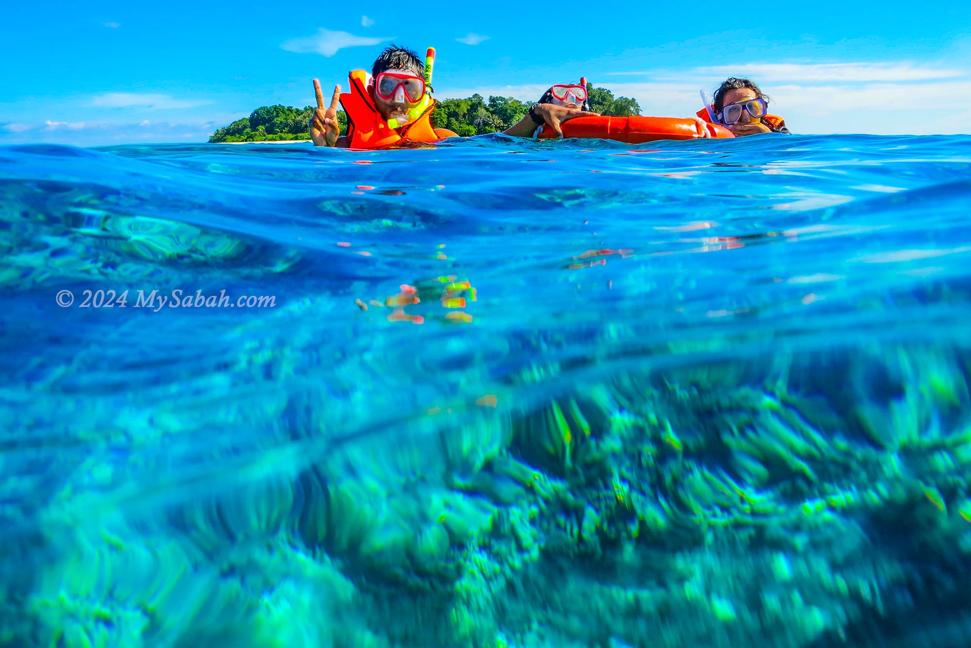
Kota Kinabalu City is renowned as a nature resort city and a fantastic retirement destination. One of the main attractions is Tunku Abdul Rahman Park, conveniently located just 15 minutes away from the city by boat. During peak seasons, tens of thousands of tourists flock to this marine park, comprised of five tropical islands.
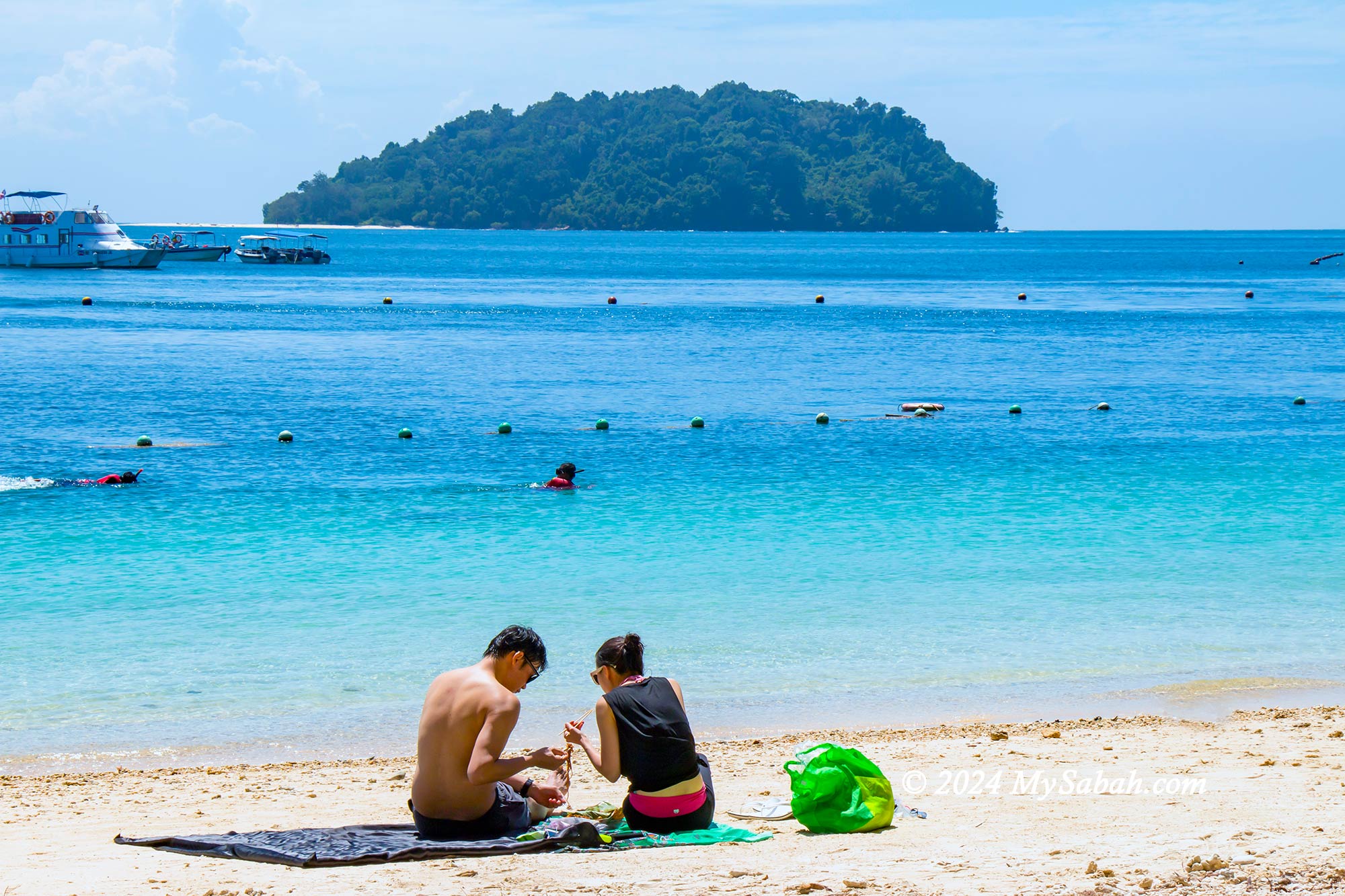

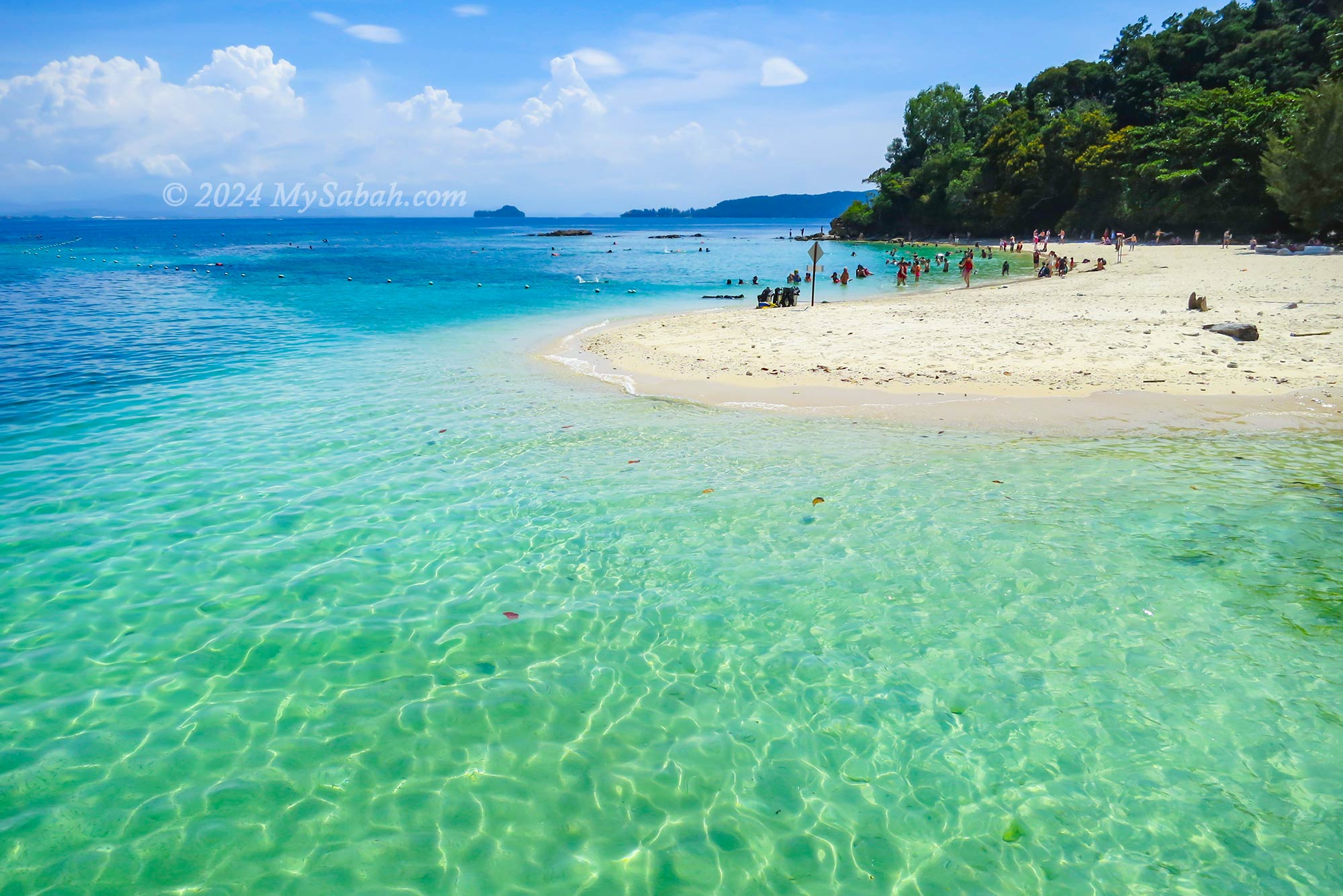
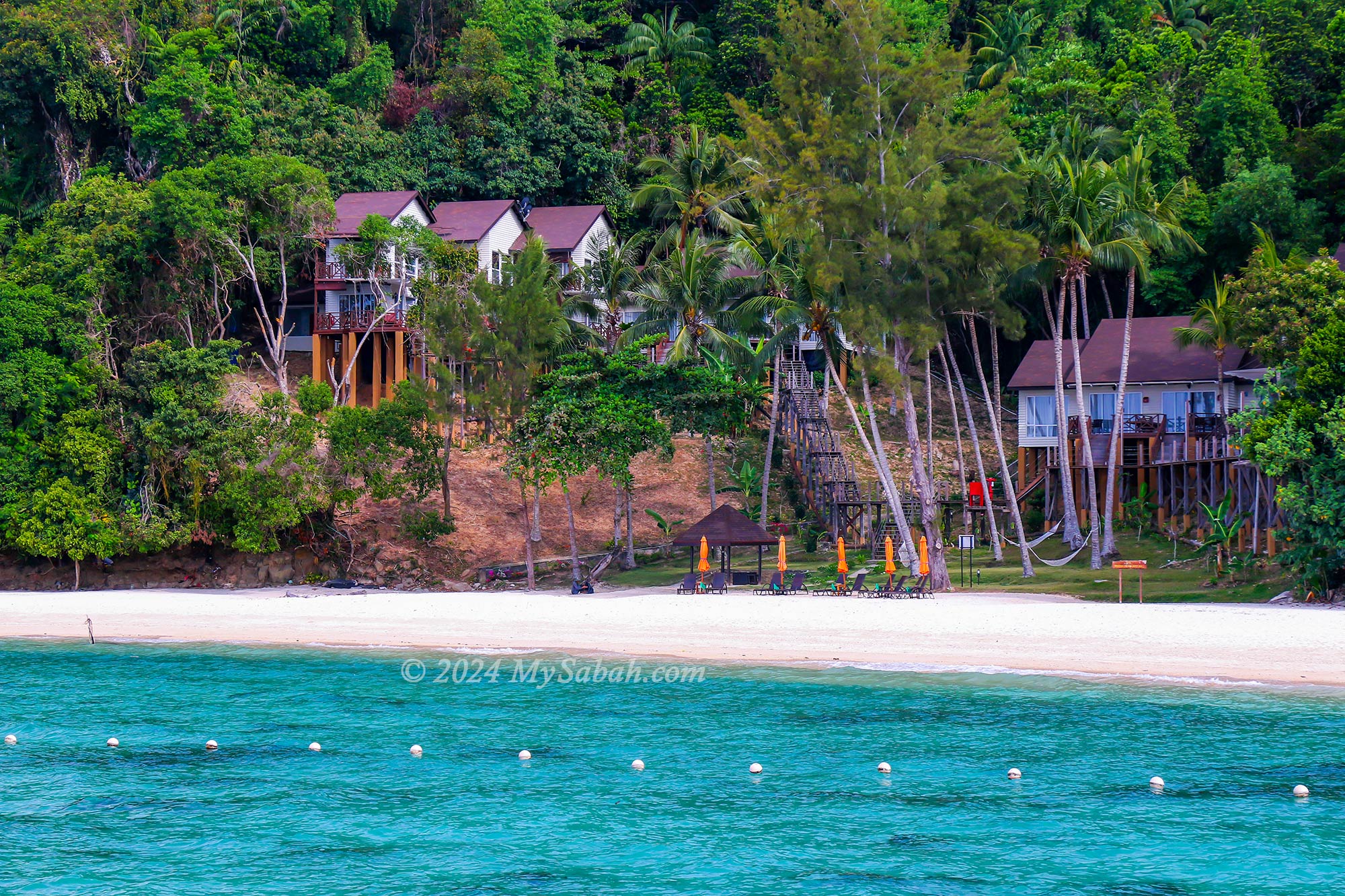
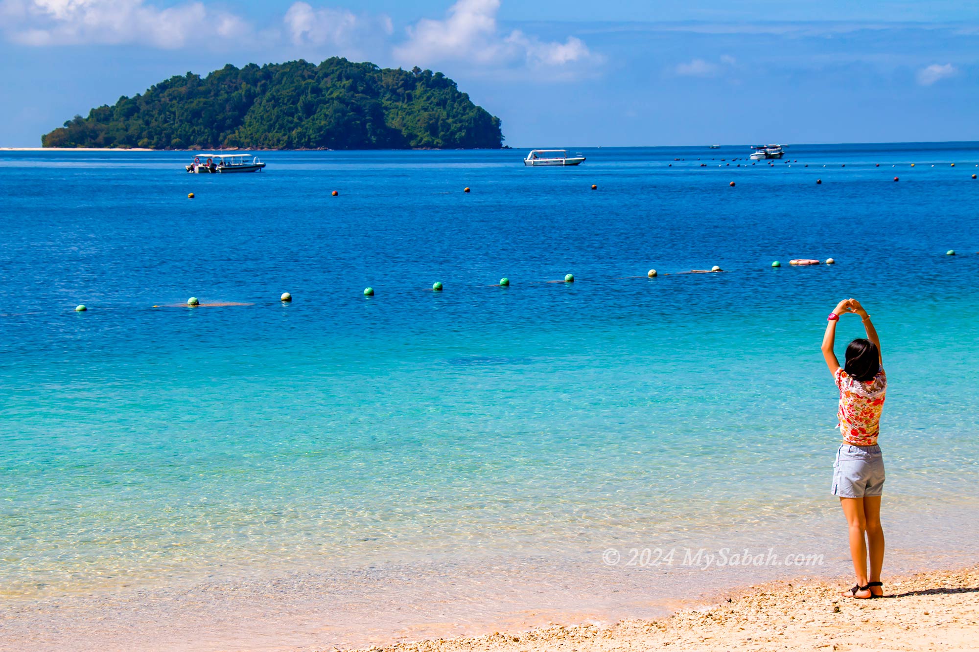
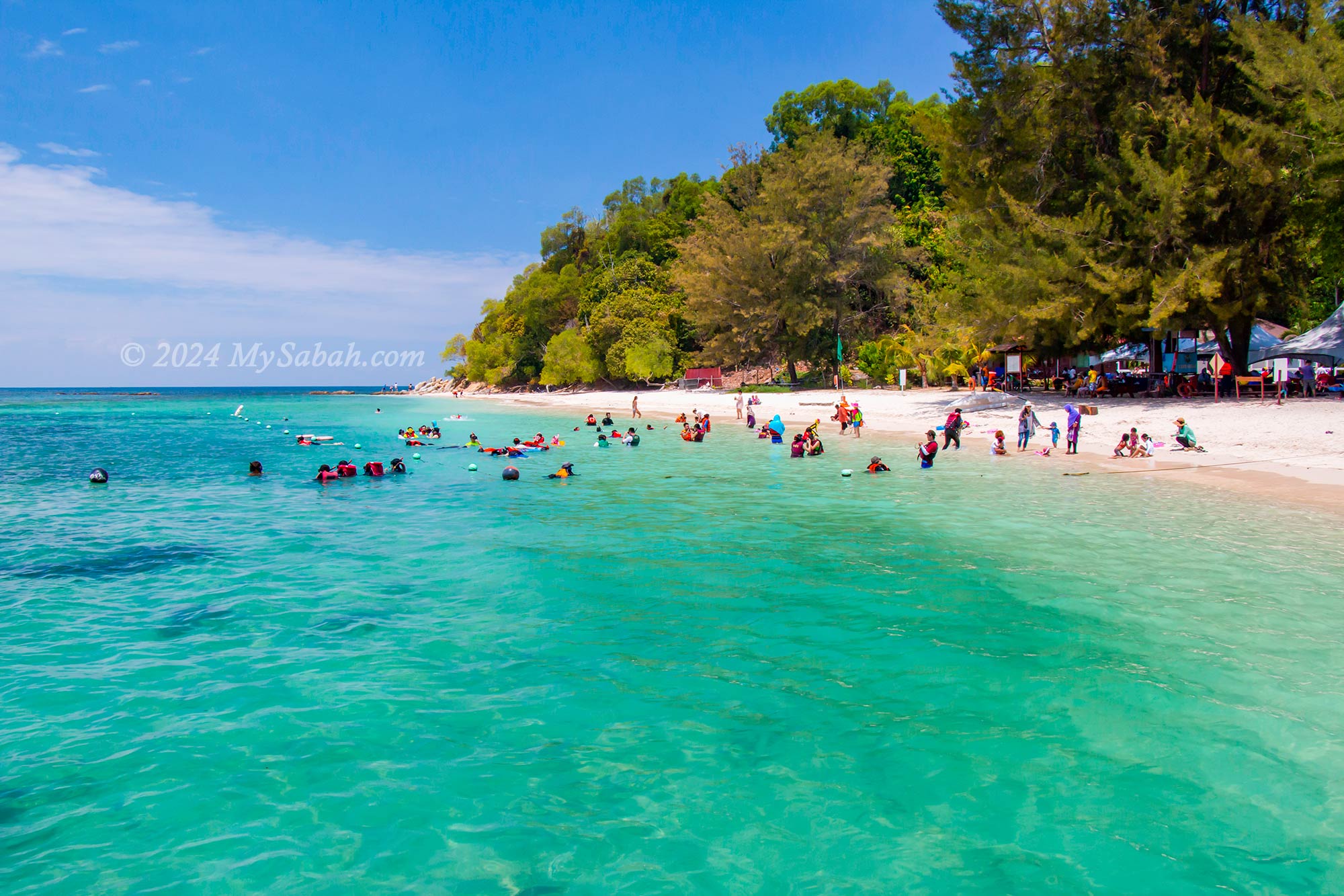
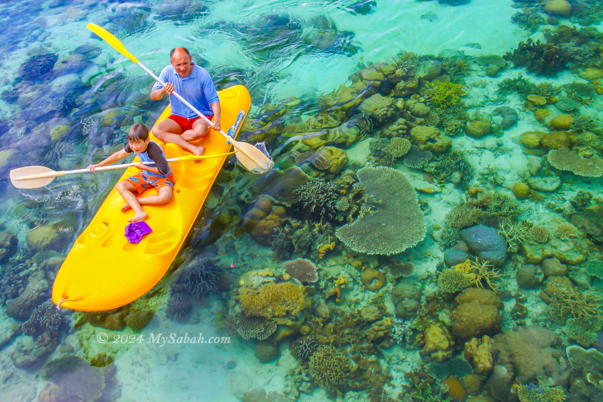
These islands boast stunning coral reefs bustling with a variety of colorful reef fish, making them ideal spots for a range of water activities including swimming, snorkeling, scuba diving, kayaking, parasailing, and sea-walking. You can also embark on an island-hopping tour to visit two to three islands (Manukan, Sapi, Mamutik) in a single day, allowing you to fully appreciate the beauty of each island. Read more…
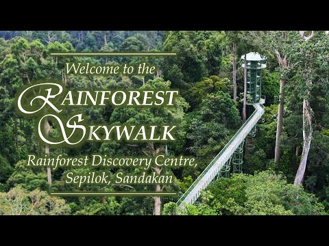
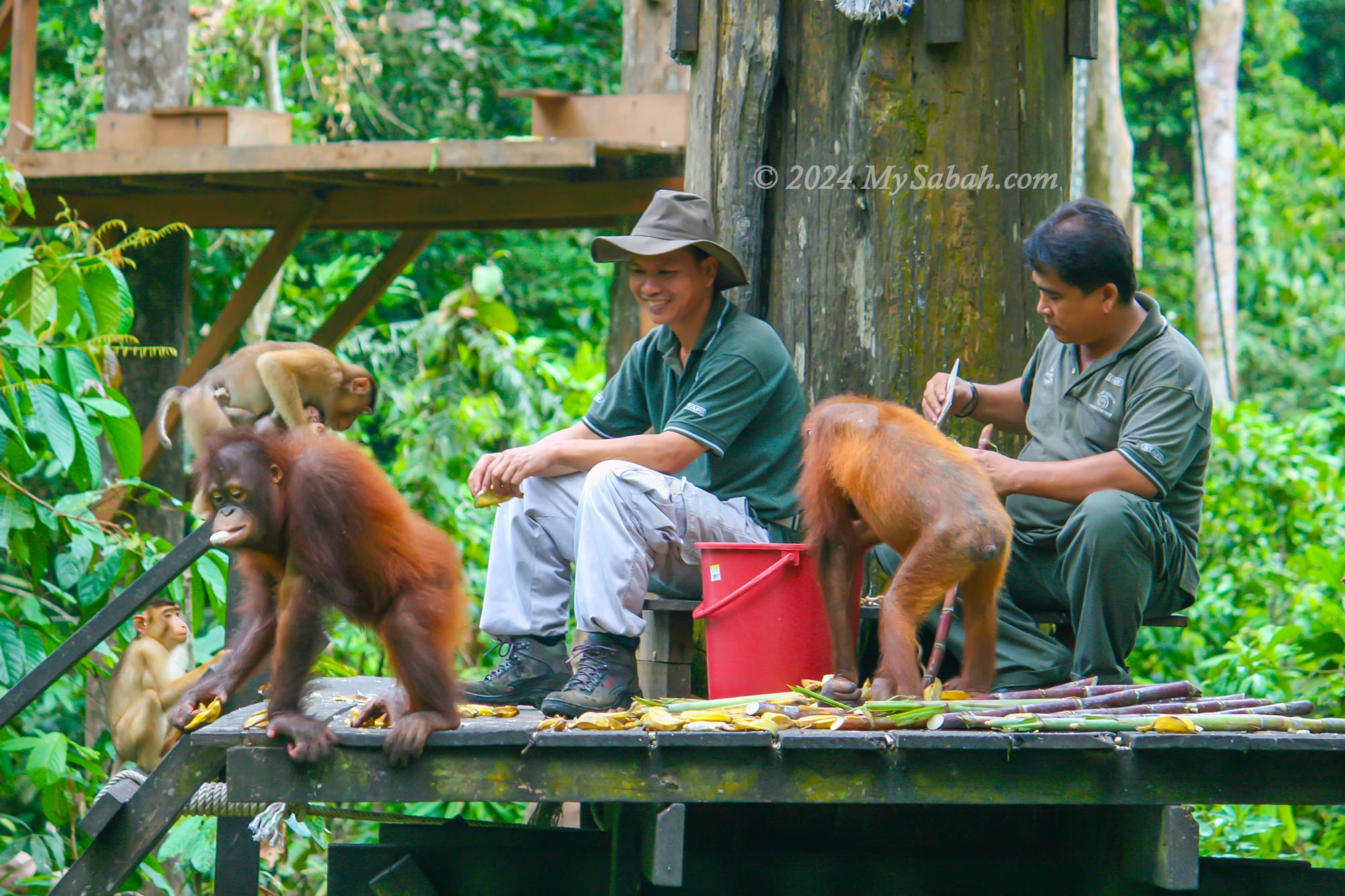
3. Sepilok
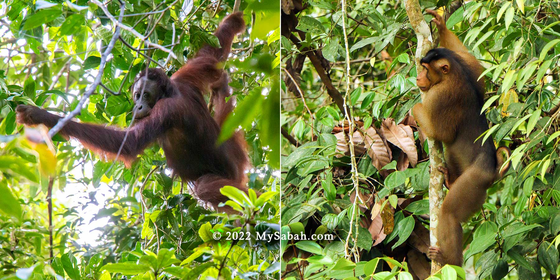
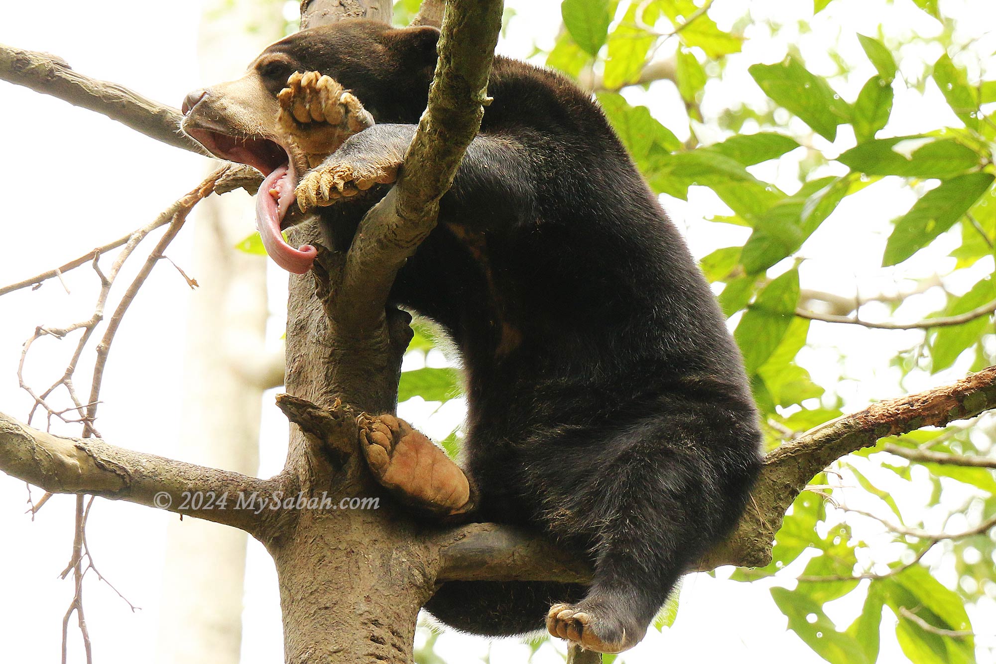
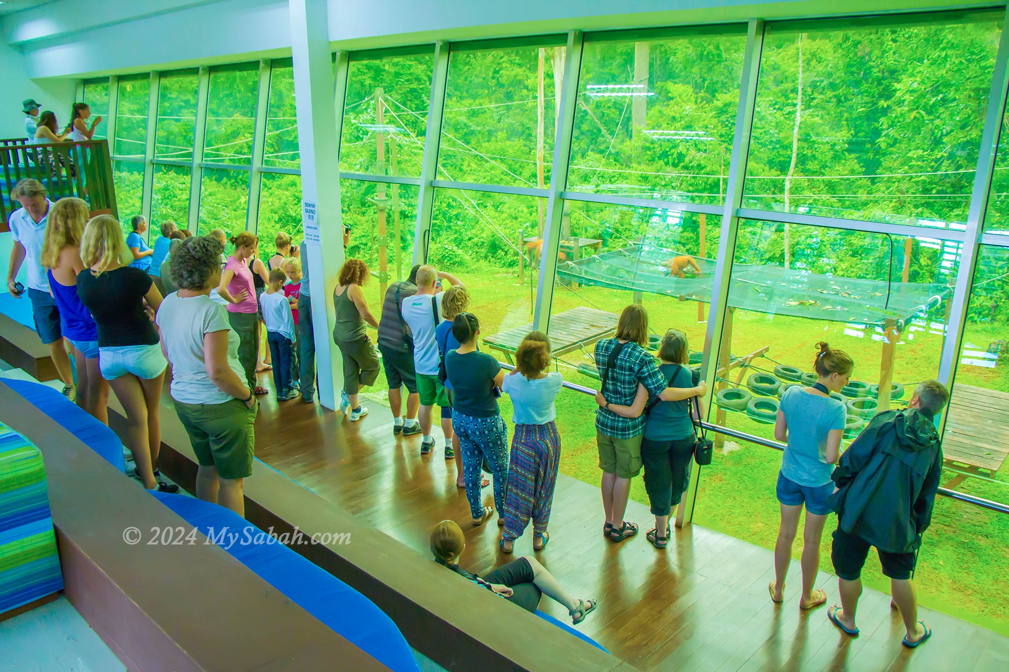
A visit to Sepilok offers the chance to explore three remarkable Borneo attractions located side by side. Start with the Orangutan rehabilitation centre, where orphaned orangutans are trained to survive in the wild. During feeding sessions, you can observe these intelligent apes sharing food with mischievous macaques. Just a short distance away lies the Bornean Sunbear Conservation Centre, where you can watch adorable sun bears in their element.
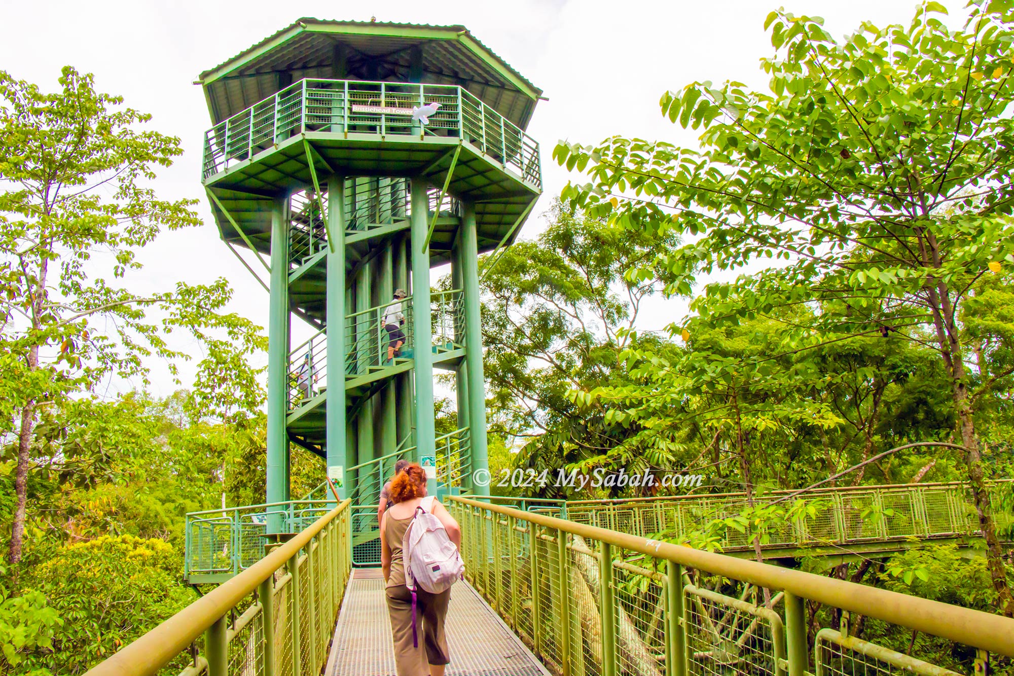
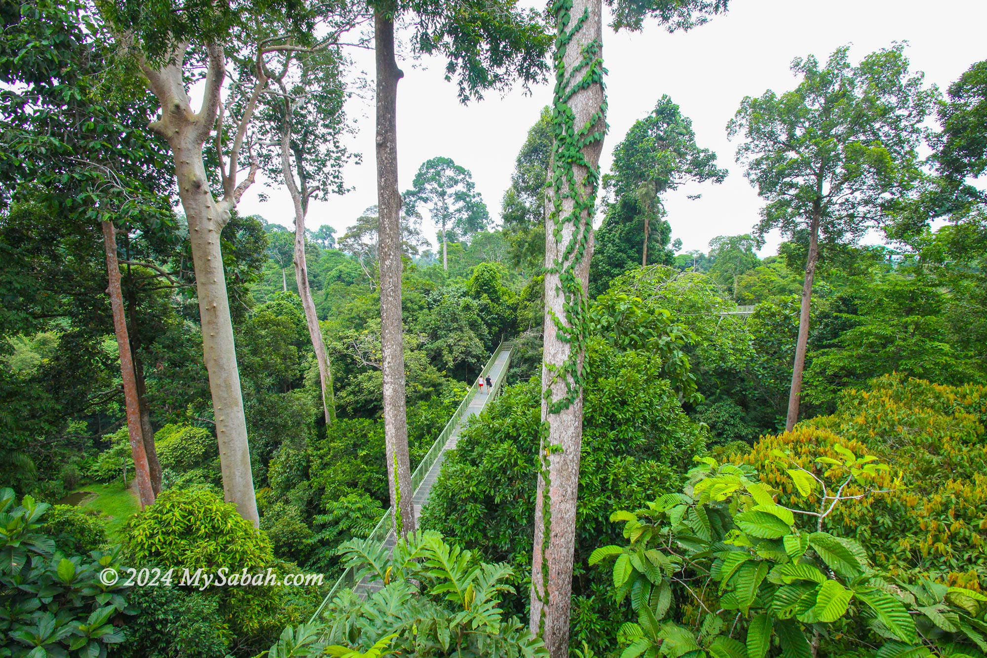
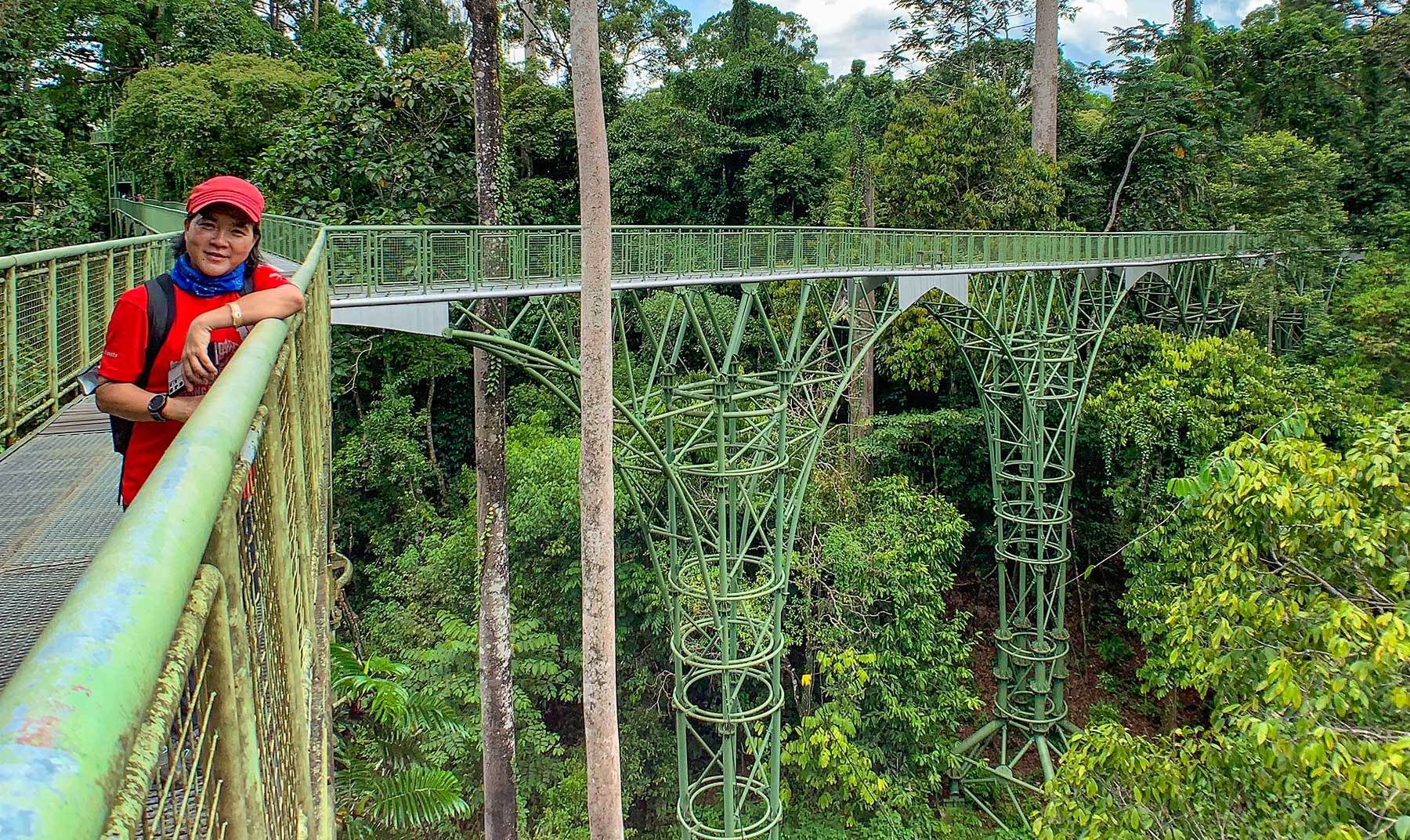
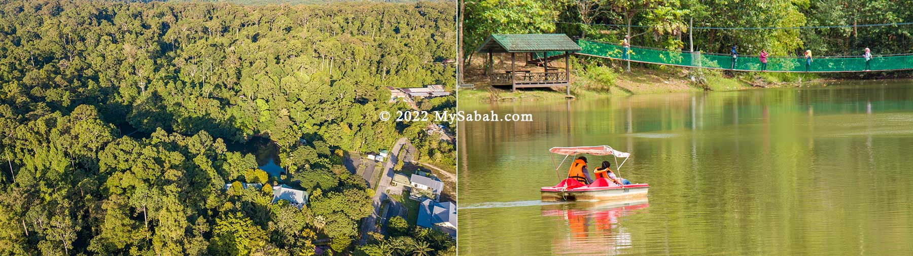
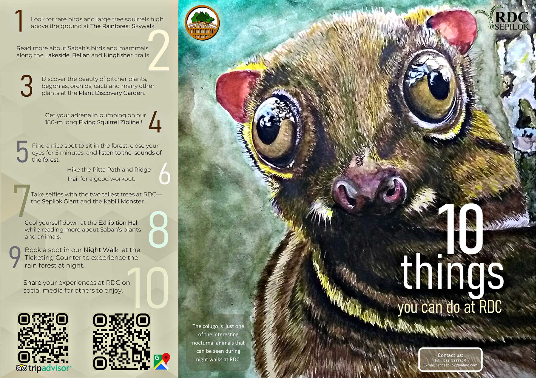
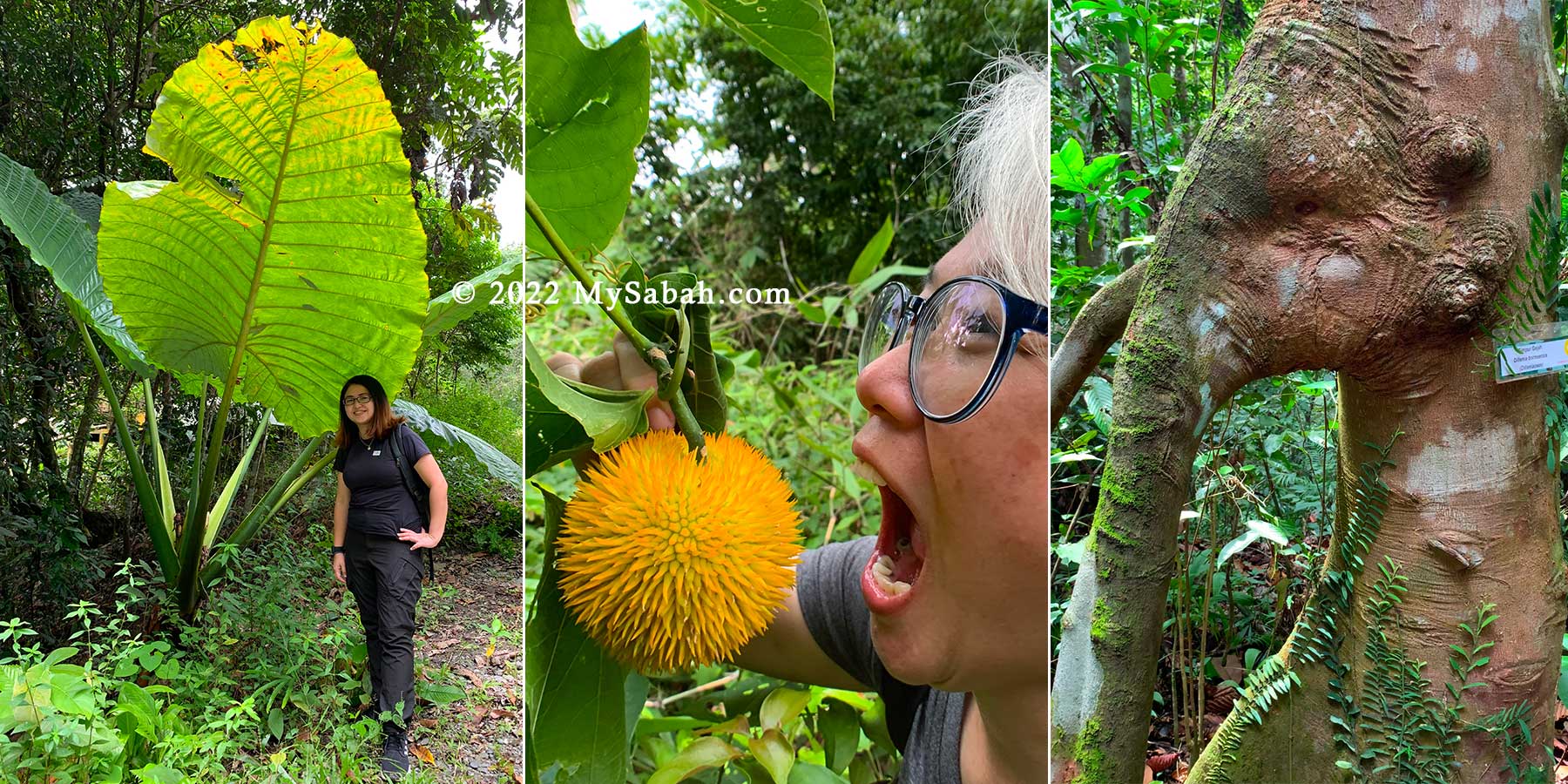
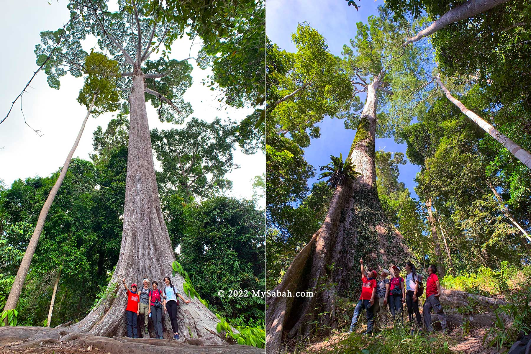
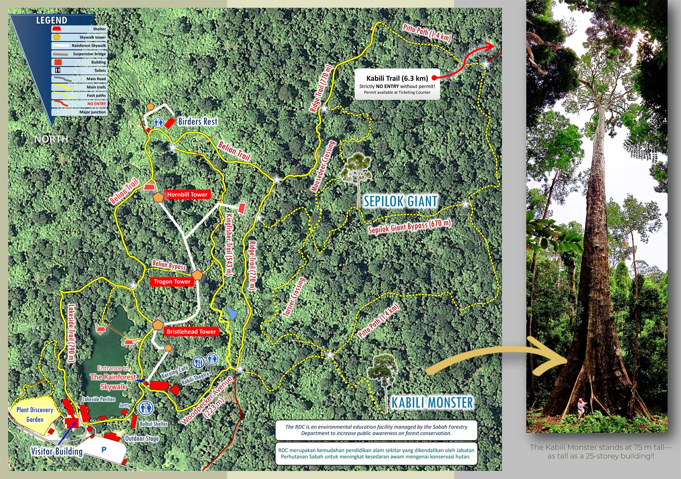
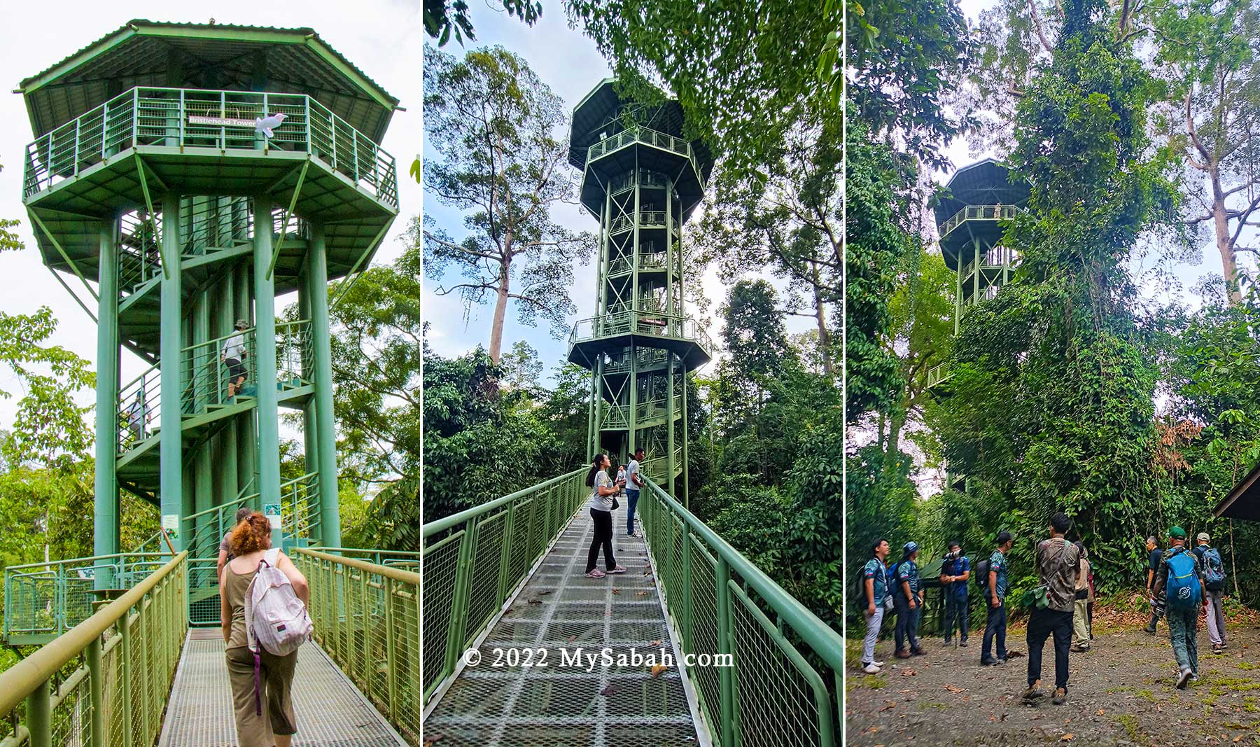
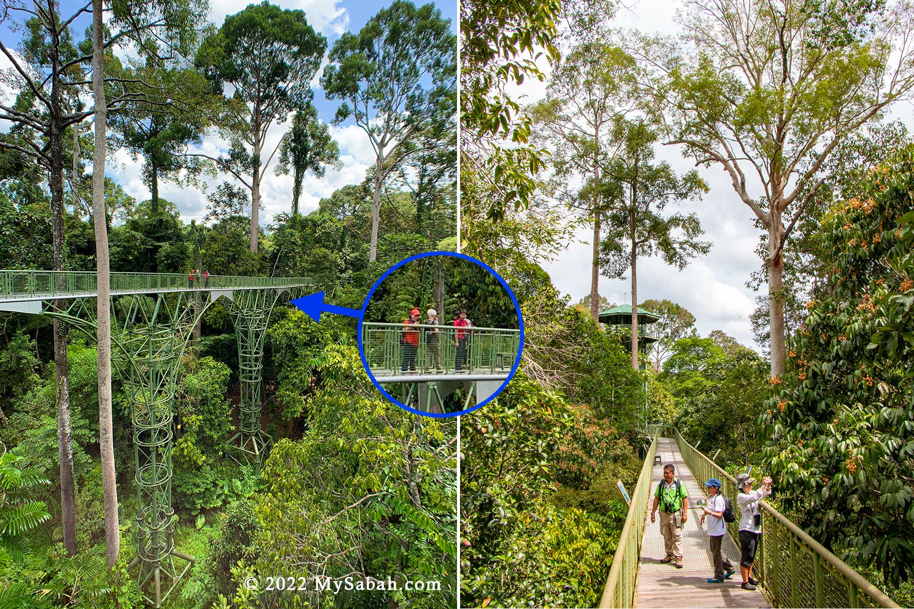
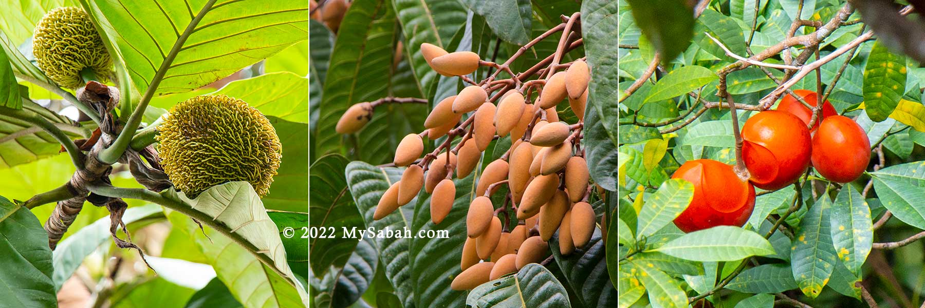
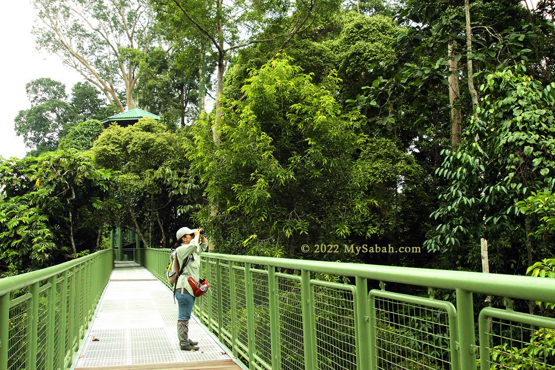
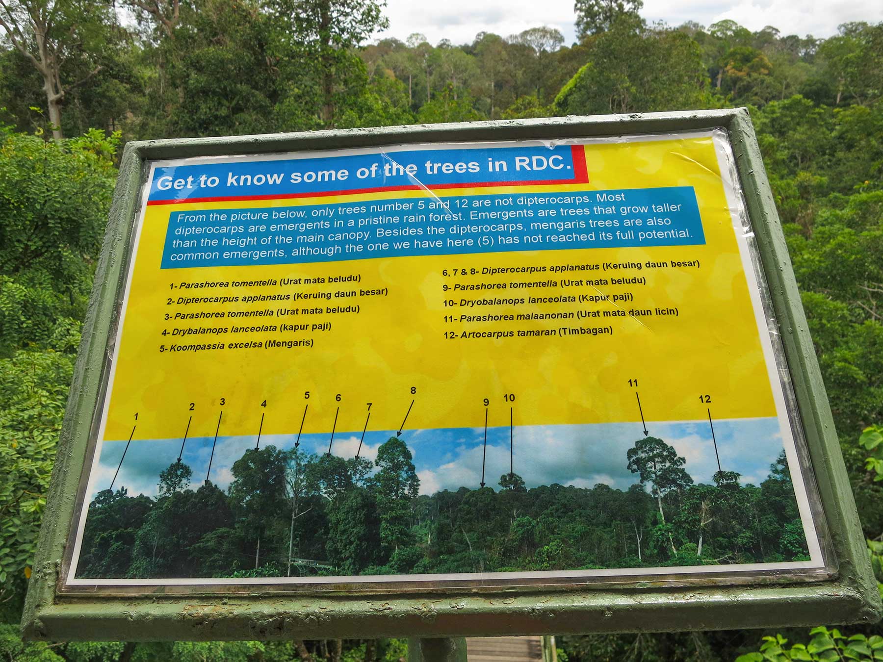
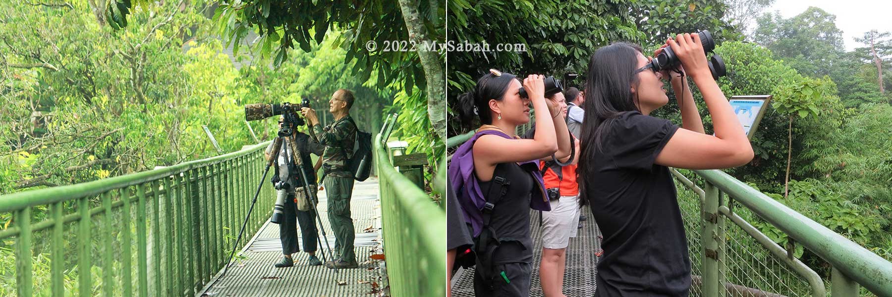
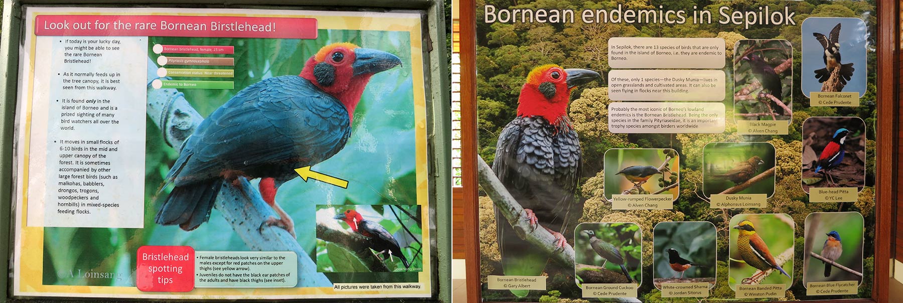
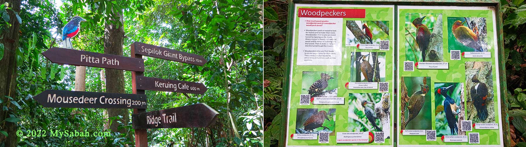
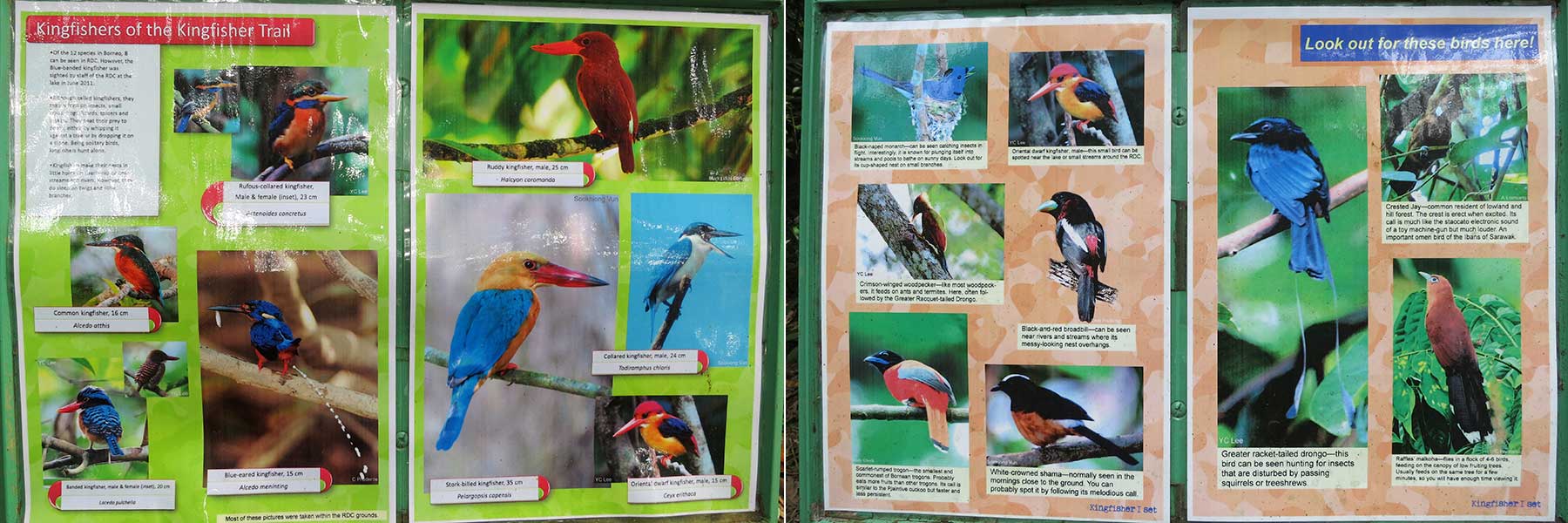
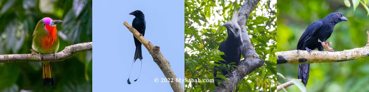
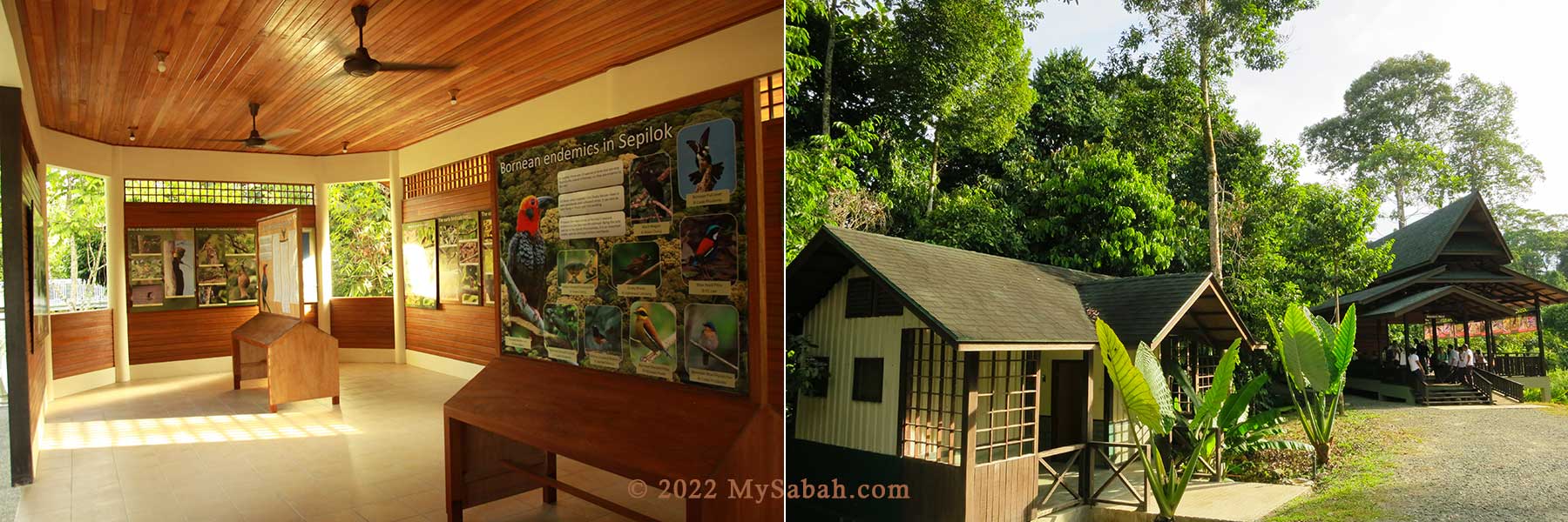
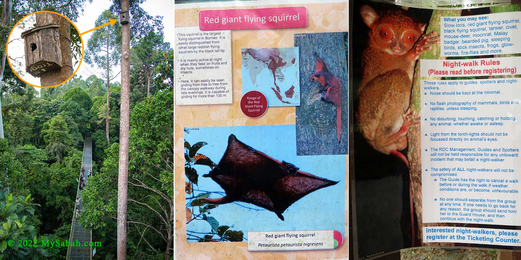
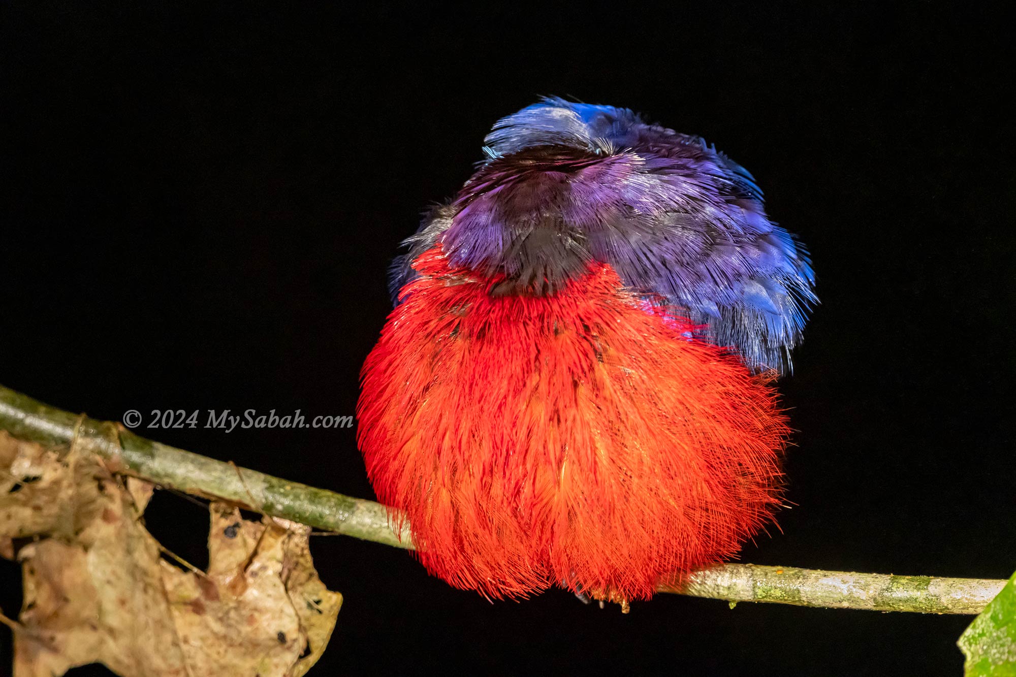
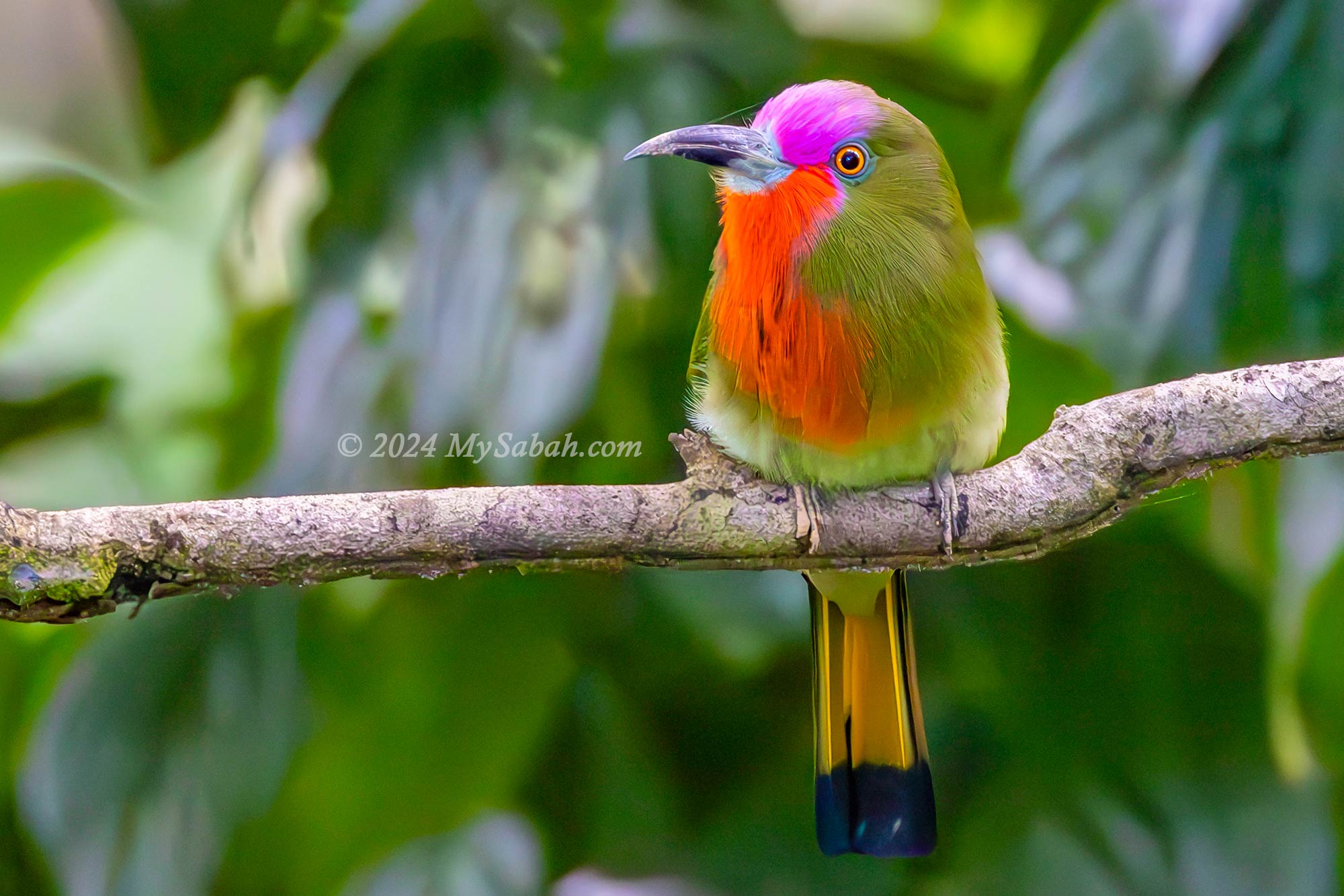
Nearby, the Rainforest Discovery Centre (RDC) immerses you in the Borneo rainforest and is a hotspot for birdwatching. Take a stroll along the sturdy 620-metre-long skywalk, allowing you to wander amidst towering tropical trees and observe fruits and birds up-close. With luck, you might even spot endemic birds like the Bornean Bristlehead, a prized sighting for birdwatchers. Read more…
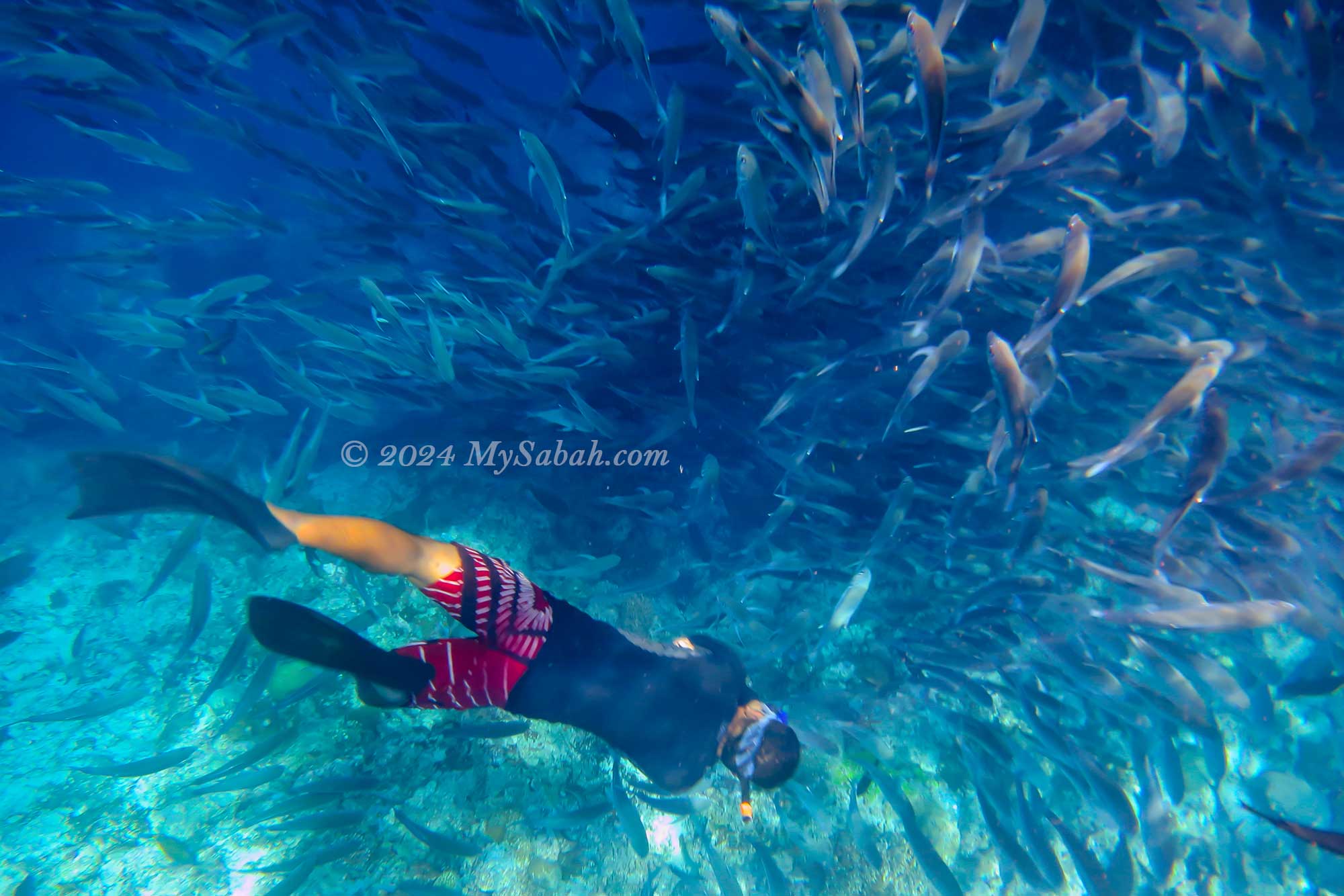
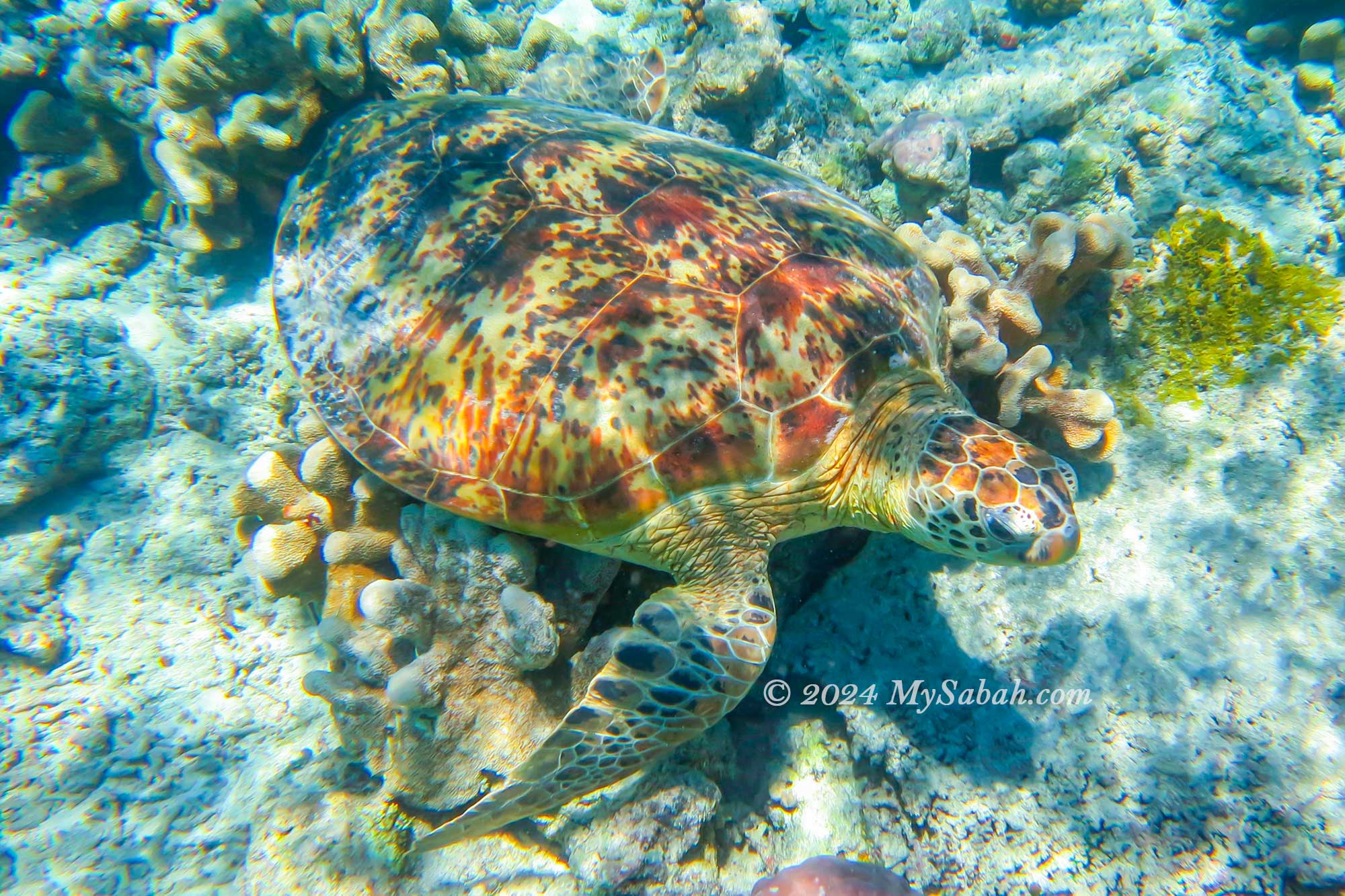
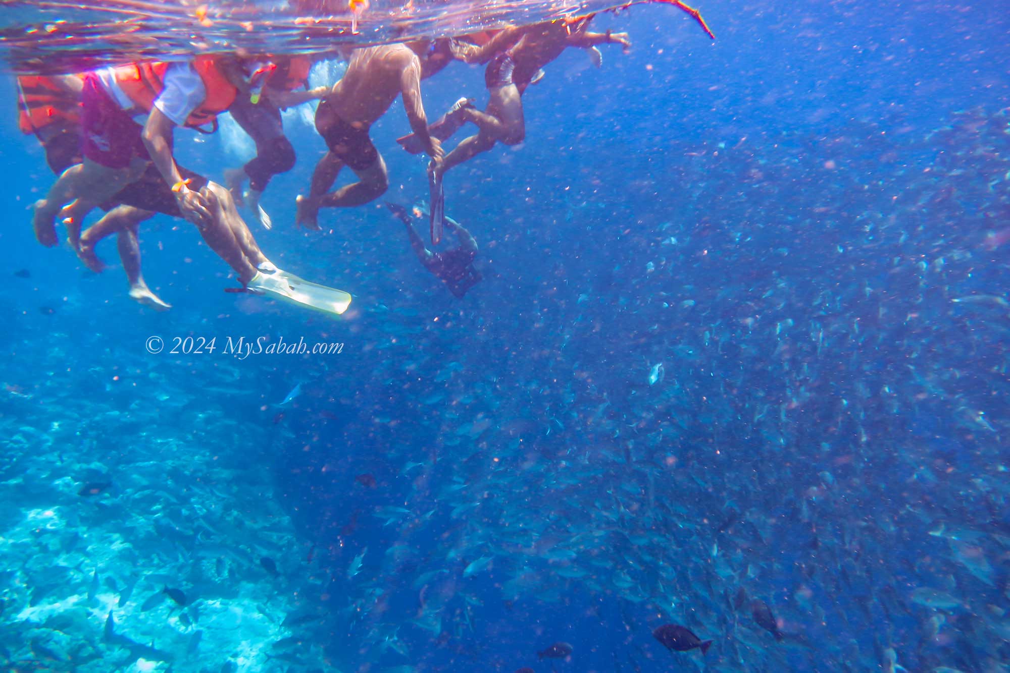
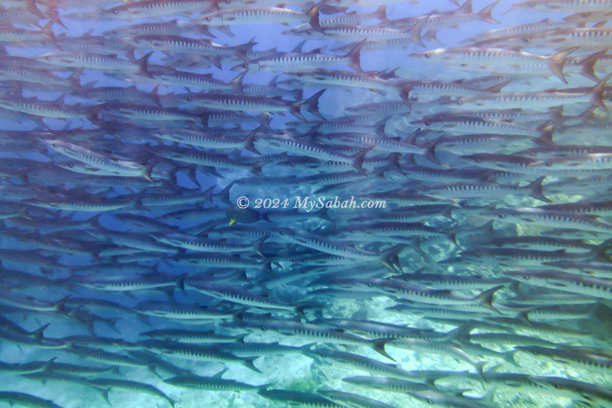
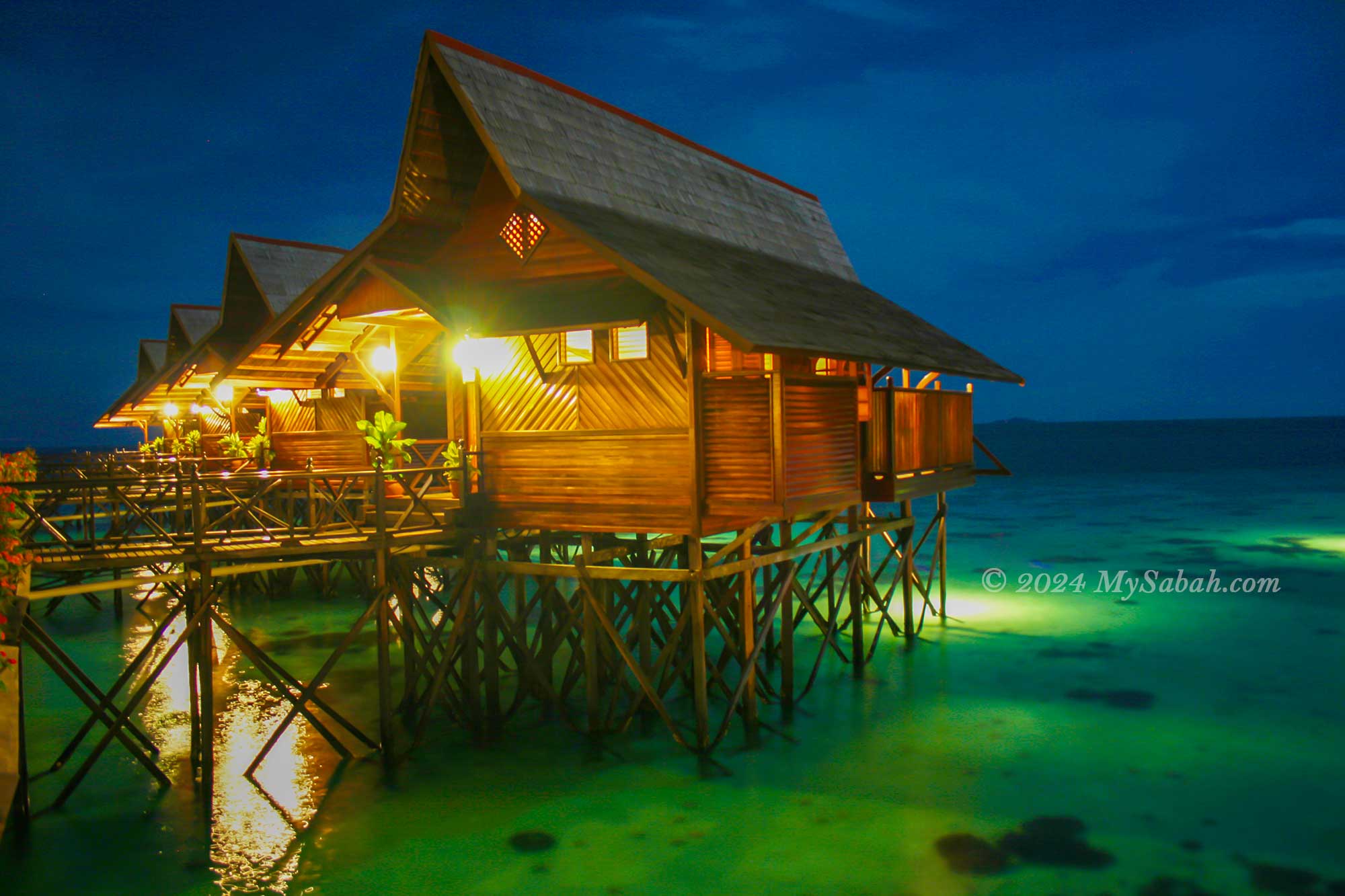
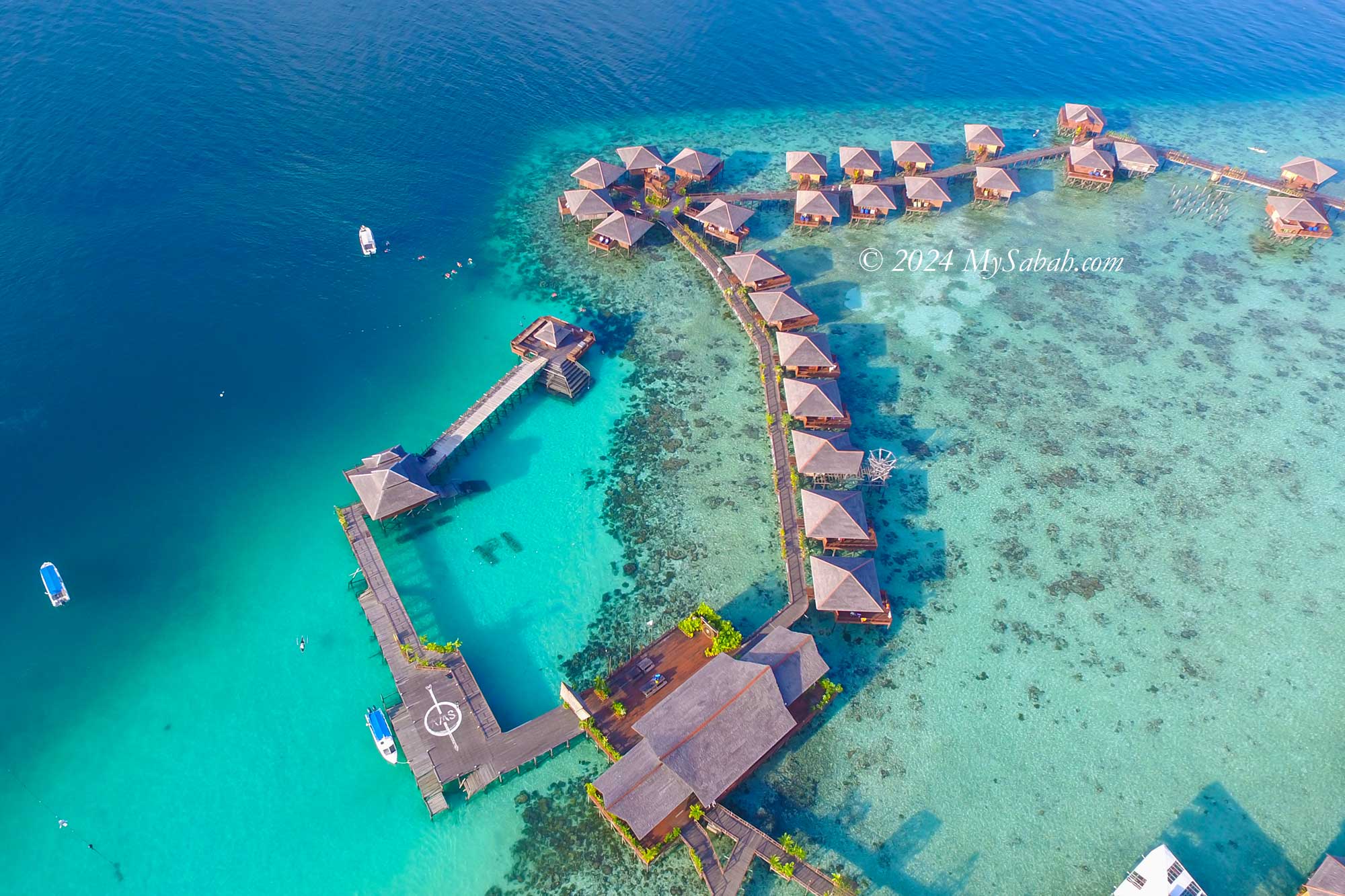
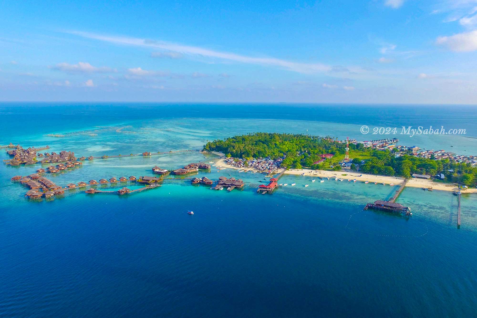
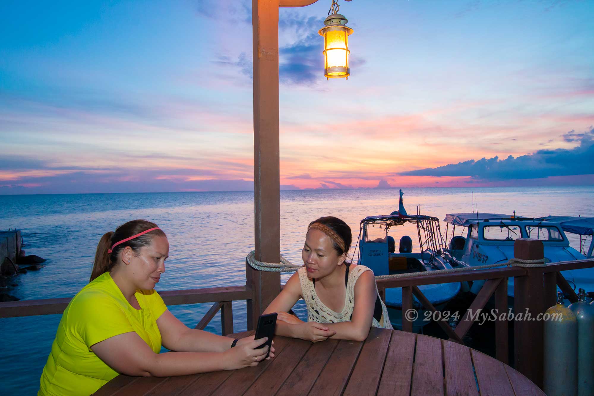
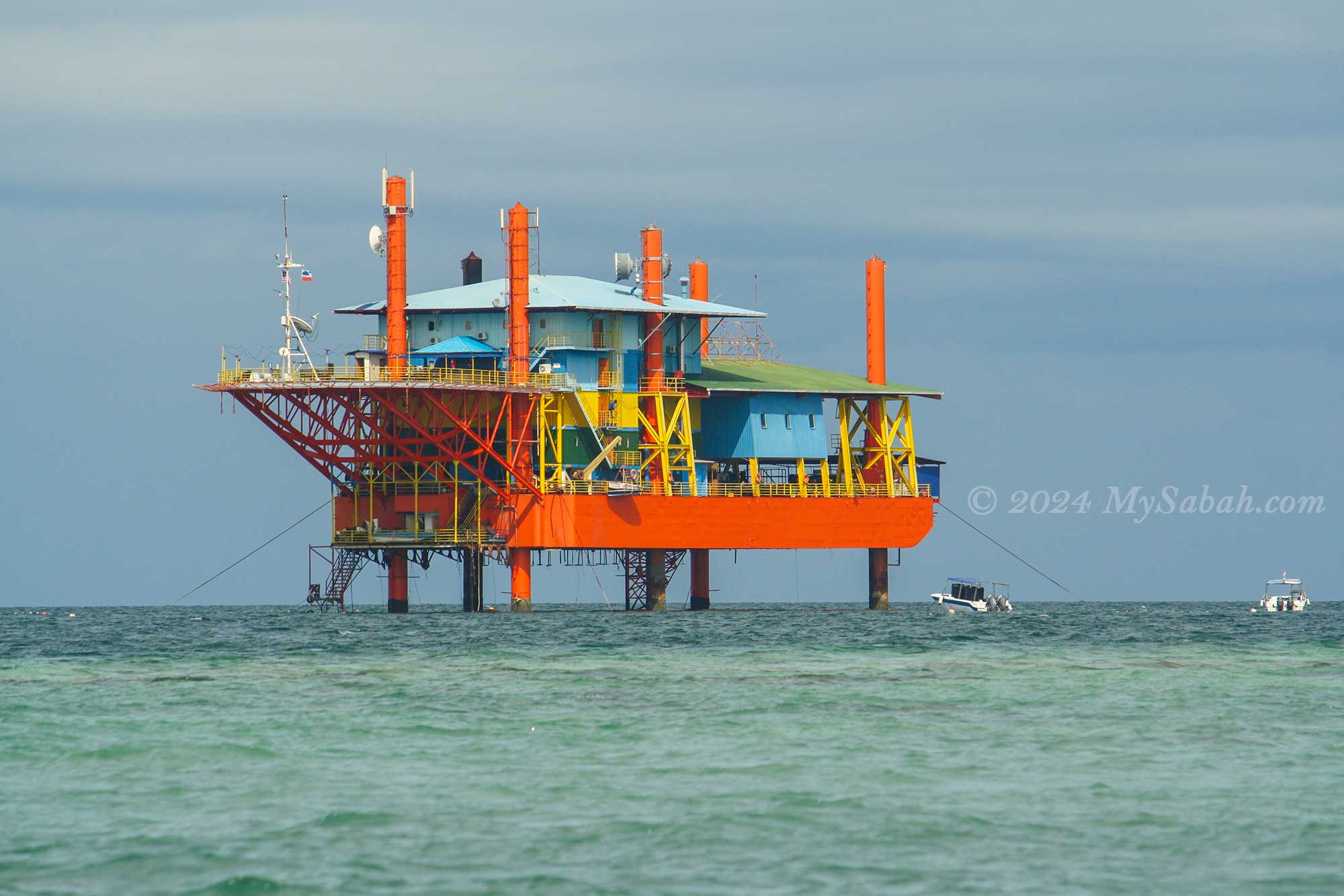
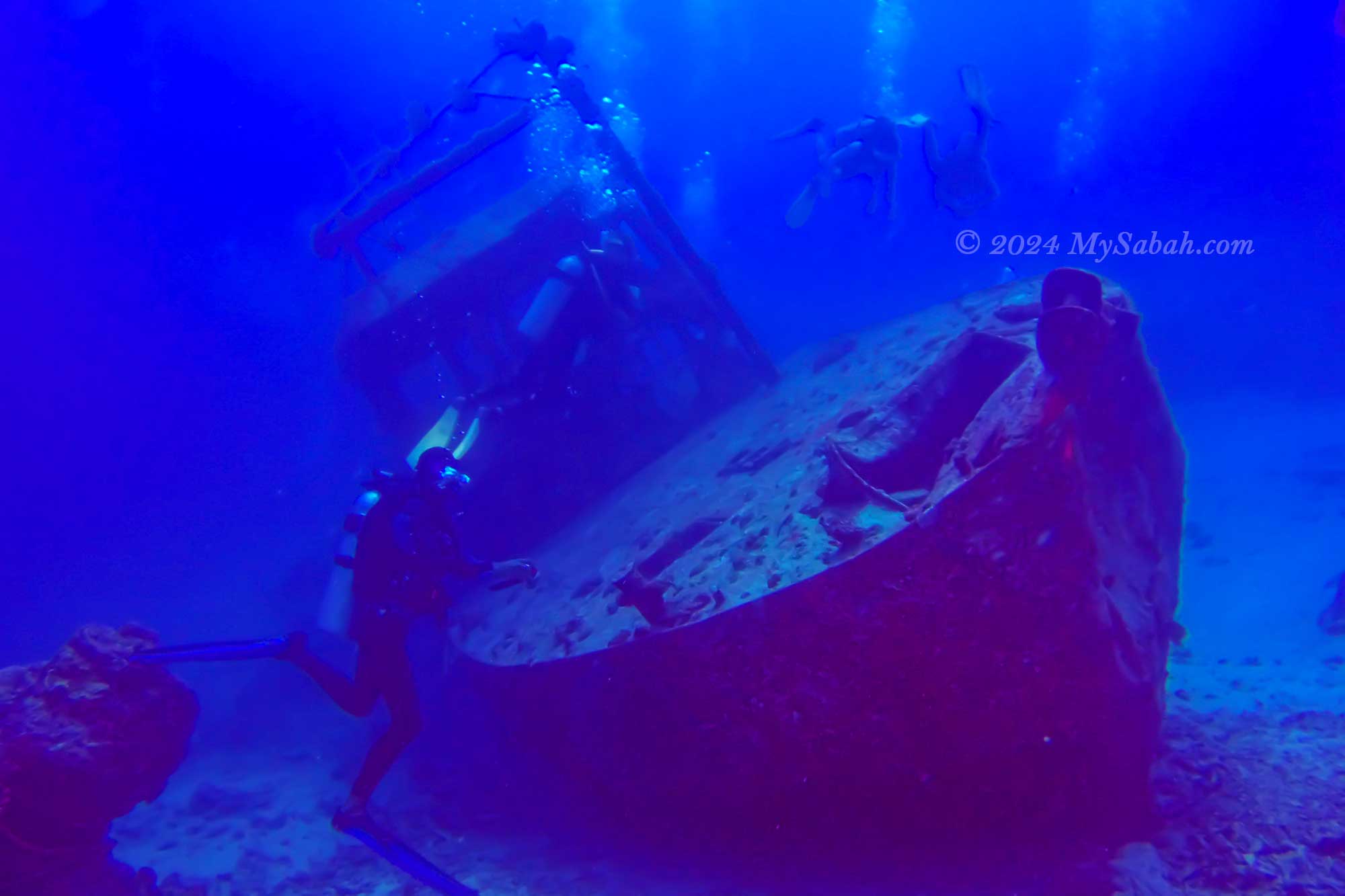
4. Sipadan Island
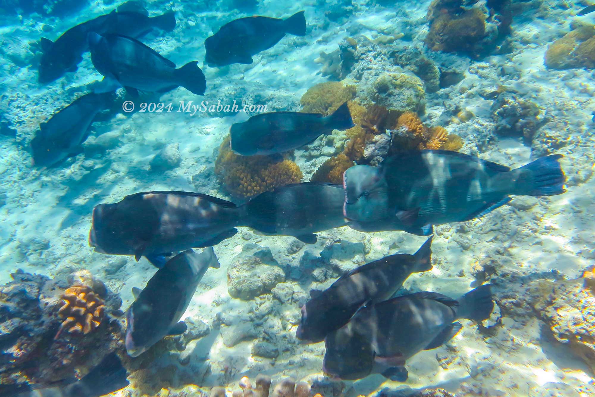
Sipadan Island stands as Malaysia’s premier diving site, unequivocally. This world-renowned spot is a haven for scuba enthusiasts, offering a breathtaking array of marine life, including turtles, schools of bumphead parrotfish, barracuda, and jackfish across more than 10 dive sites.

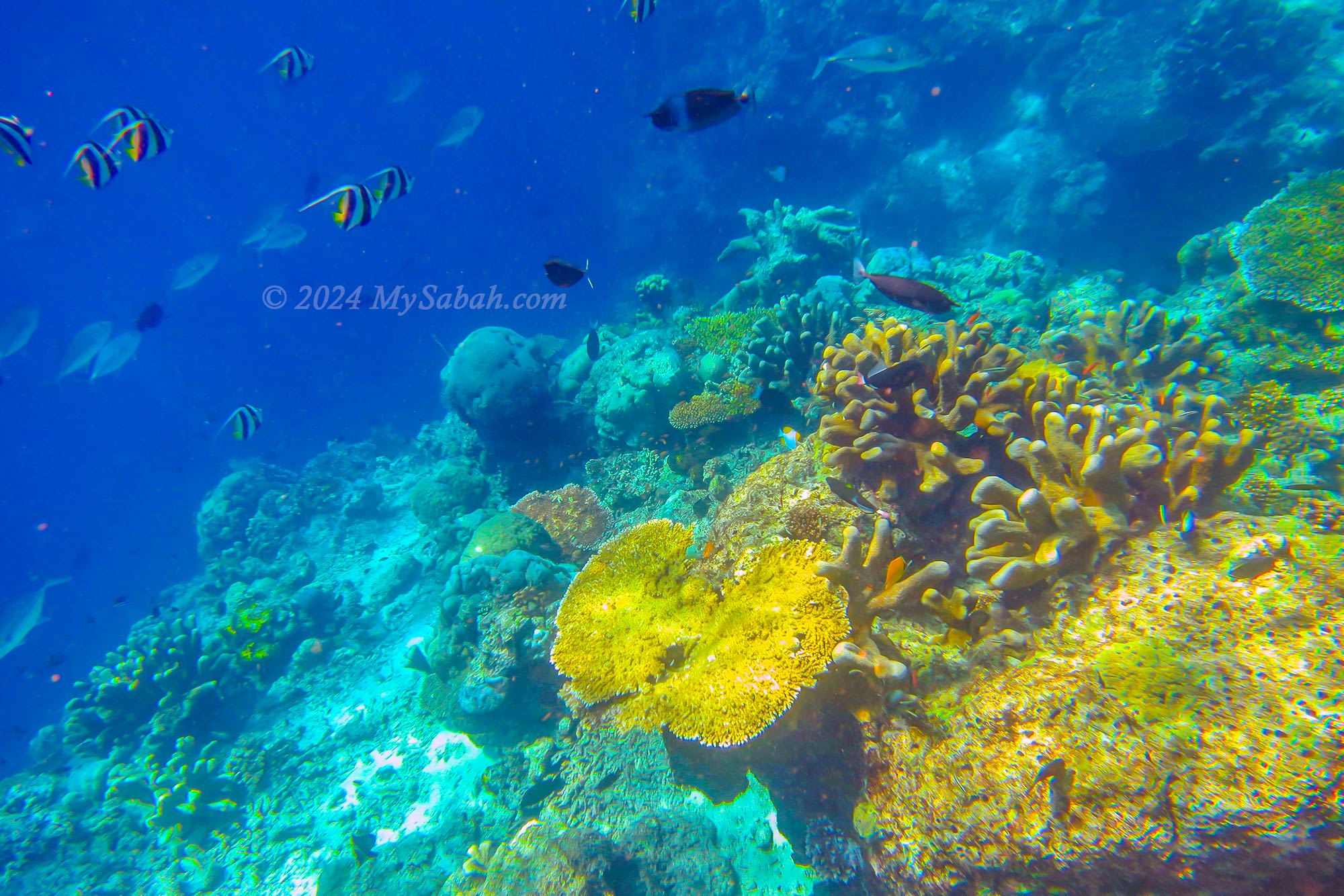
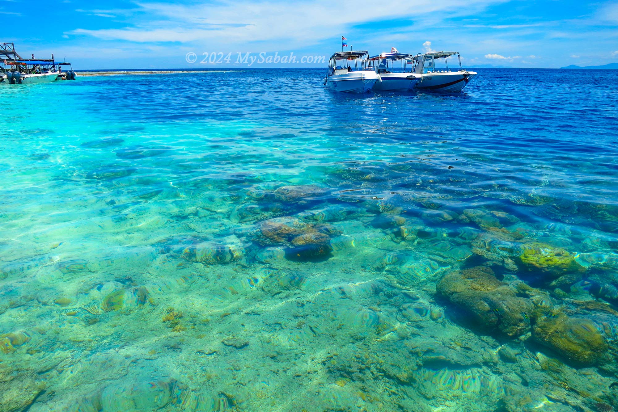
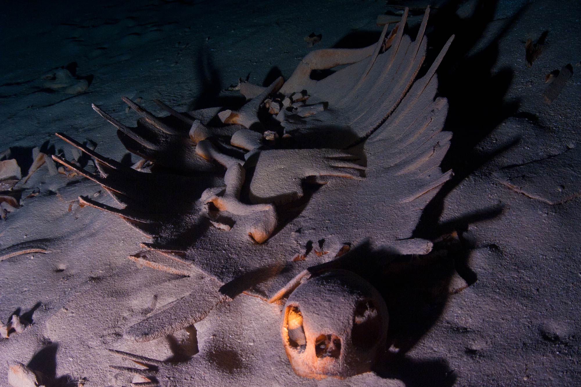
The Hanging Garden is revered among divers for its vibrant display of hard and soft corals along vertical walls. For those with cave diving skills, the Turtle Tomb is an unmissable underwater cavern notorious for trapping and drowning turtles. Even snorkelers can revel in the island’s underwater marvels. Sipadan Island epitomizes the untouched beauty of a tropical paradise, devoid of human activities that threaten the environment. Read more…
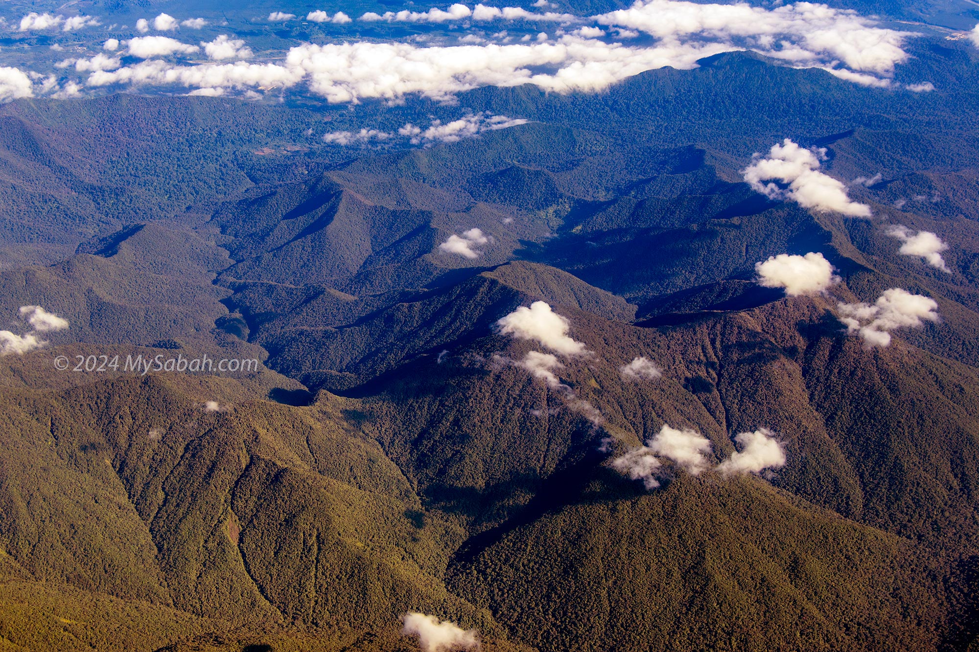
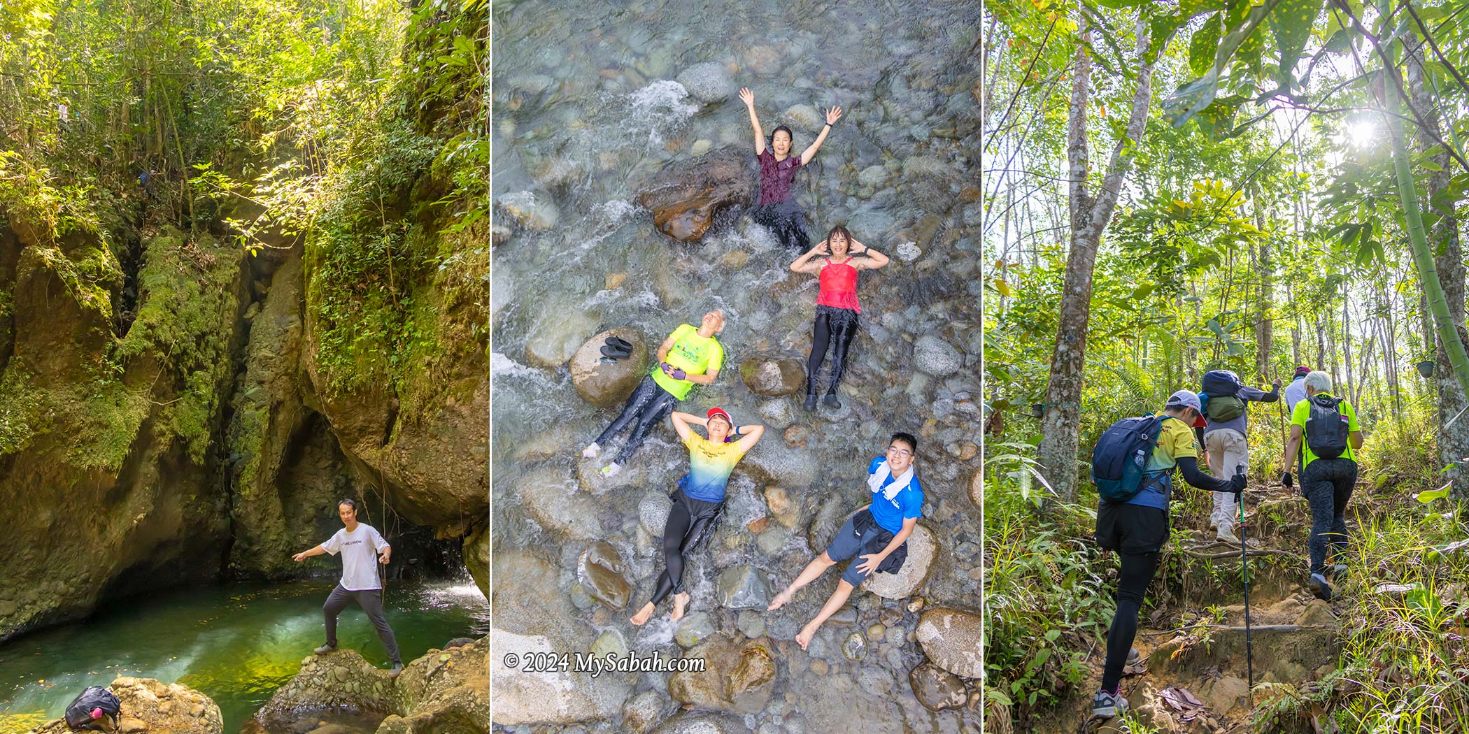
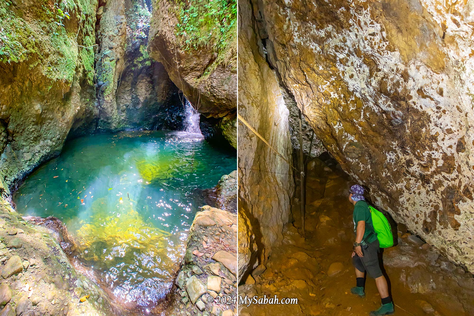
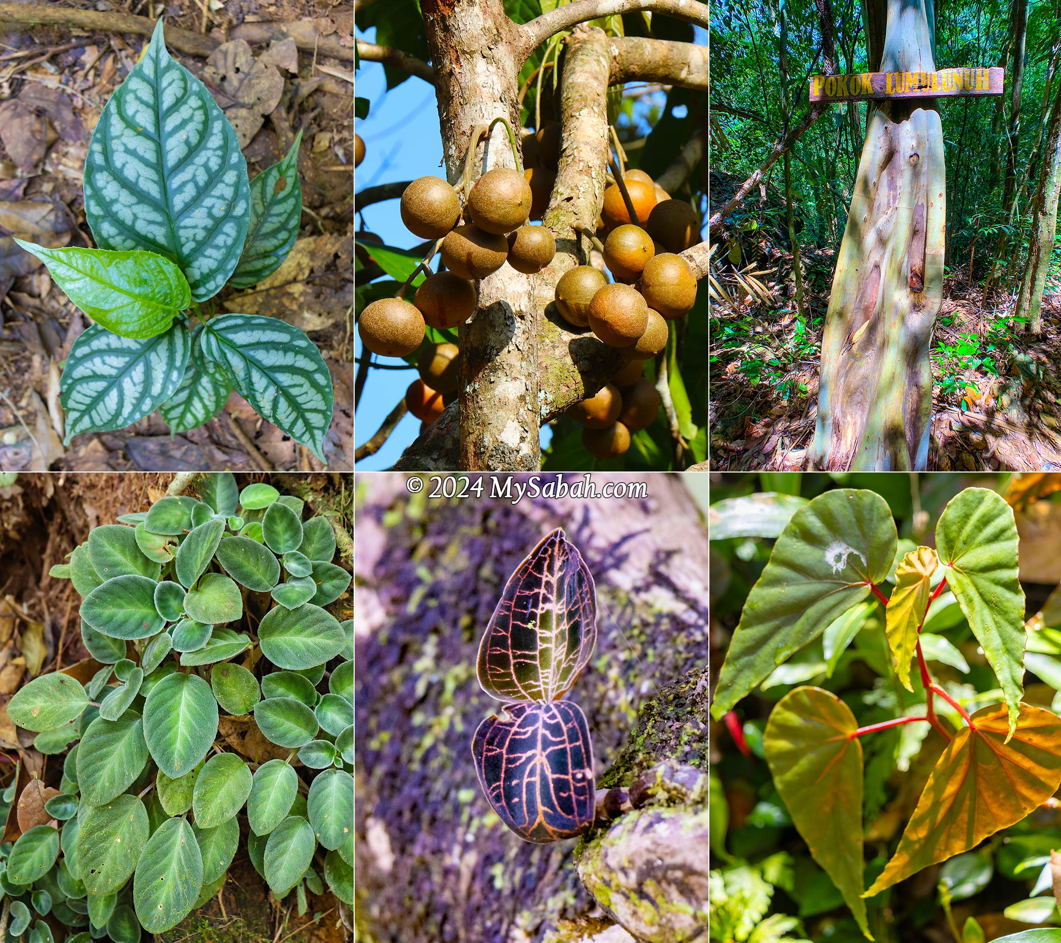
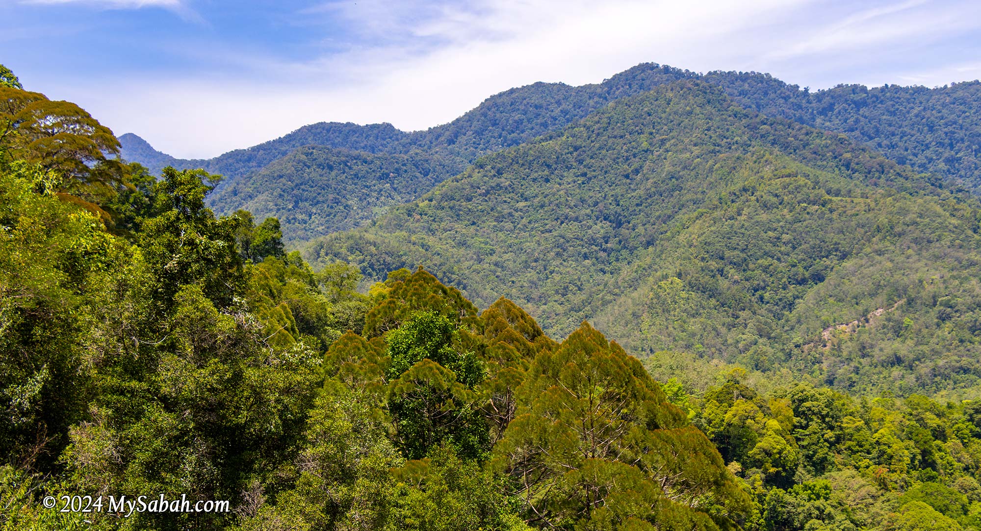
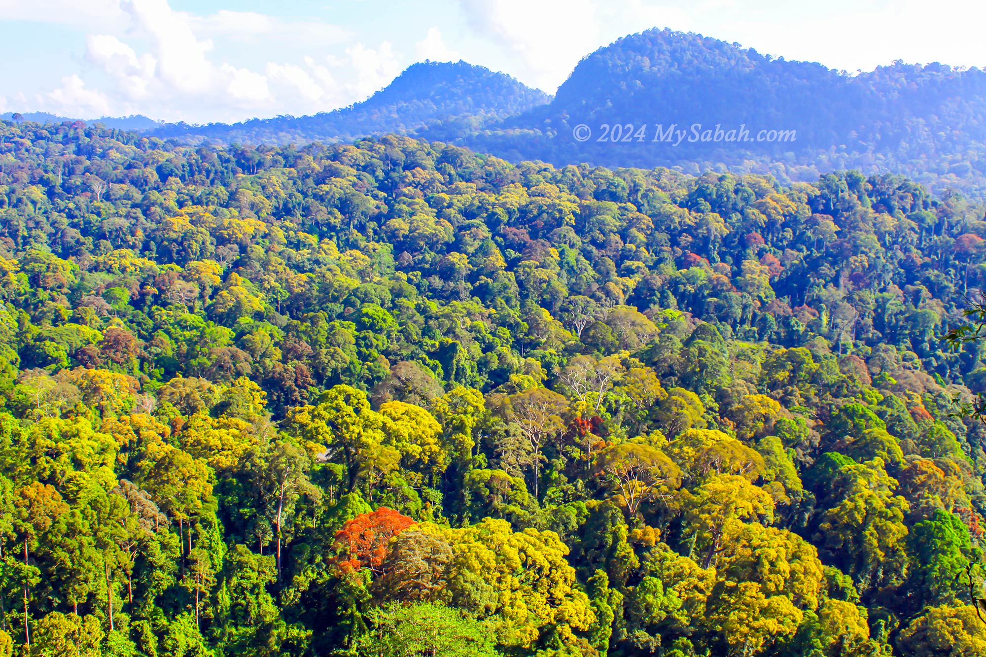
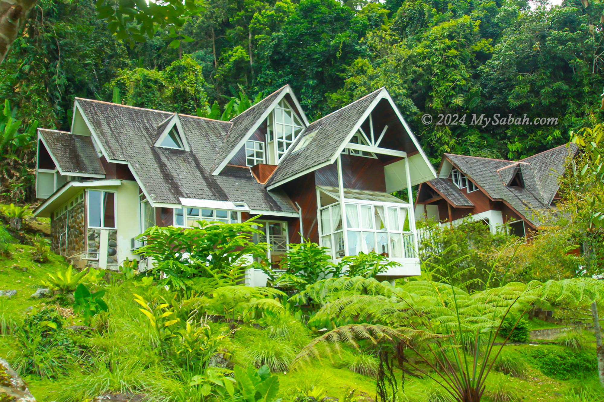
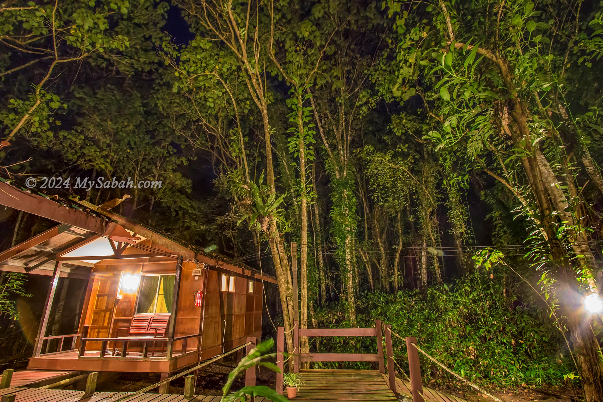
5. Danum Valley
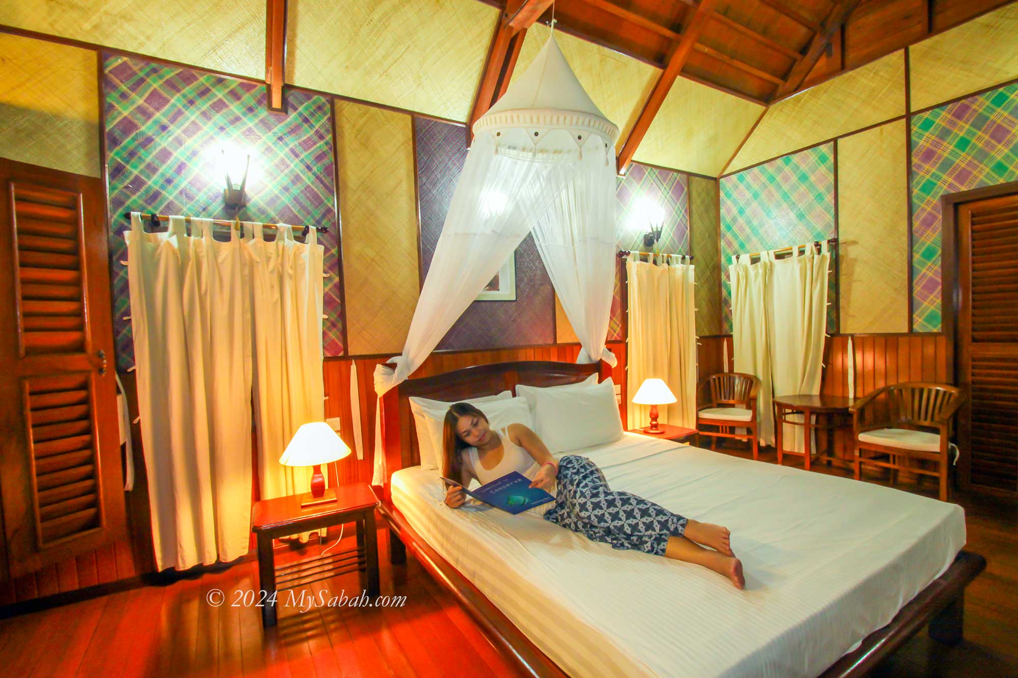
The Borneo rainforest stands as one of the oldest in the world, boasting unparalleled biodiversity. Within this pristine expanse lies Danum Valley, a sanctuary teeming with wildlife and untouched natural beauty. Here, you’ll encounter the world’s tallest tropical trees amidst the dense foliage. For an immersive experience, consider staying at the Borneo Rainforest Lodge, a 5-star jungle retreat.
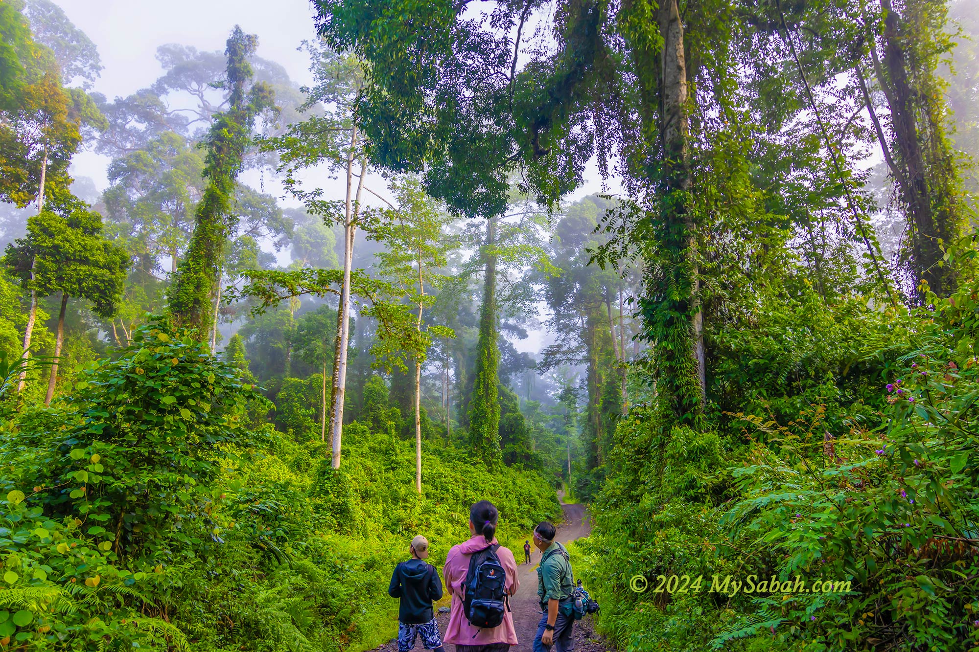
Guests can partake in a range of guided activities, including canopy walks, birdwatching, waterfall explorations, riverside picnics, night safaris, and tubing adventures. During the fruiting season, observe orangutans and hornbills feasting on fig trees. Night walks offer a rare glimpse of elusive Bornean creatures such as the tarsier, clouded leopard, and bearcat. Read more…
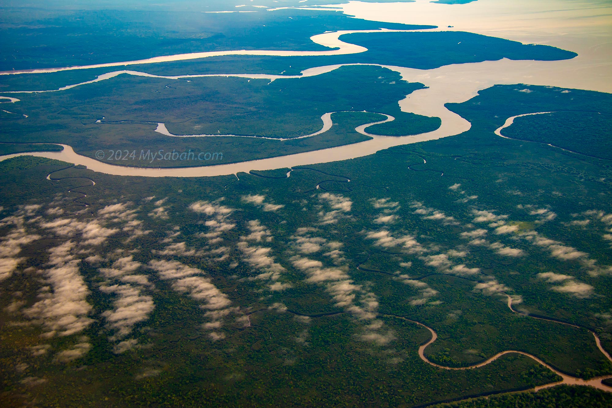
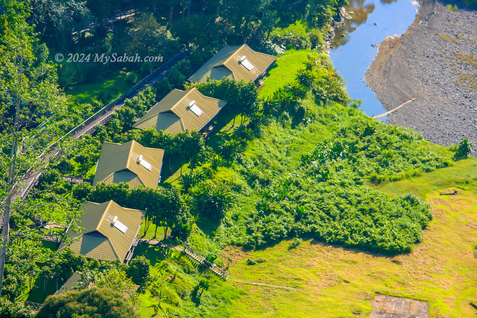
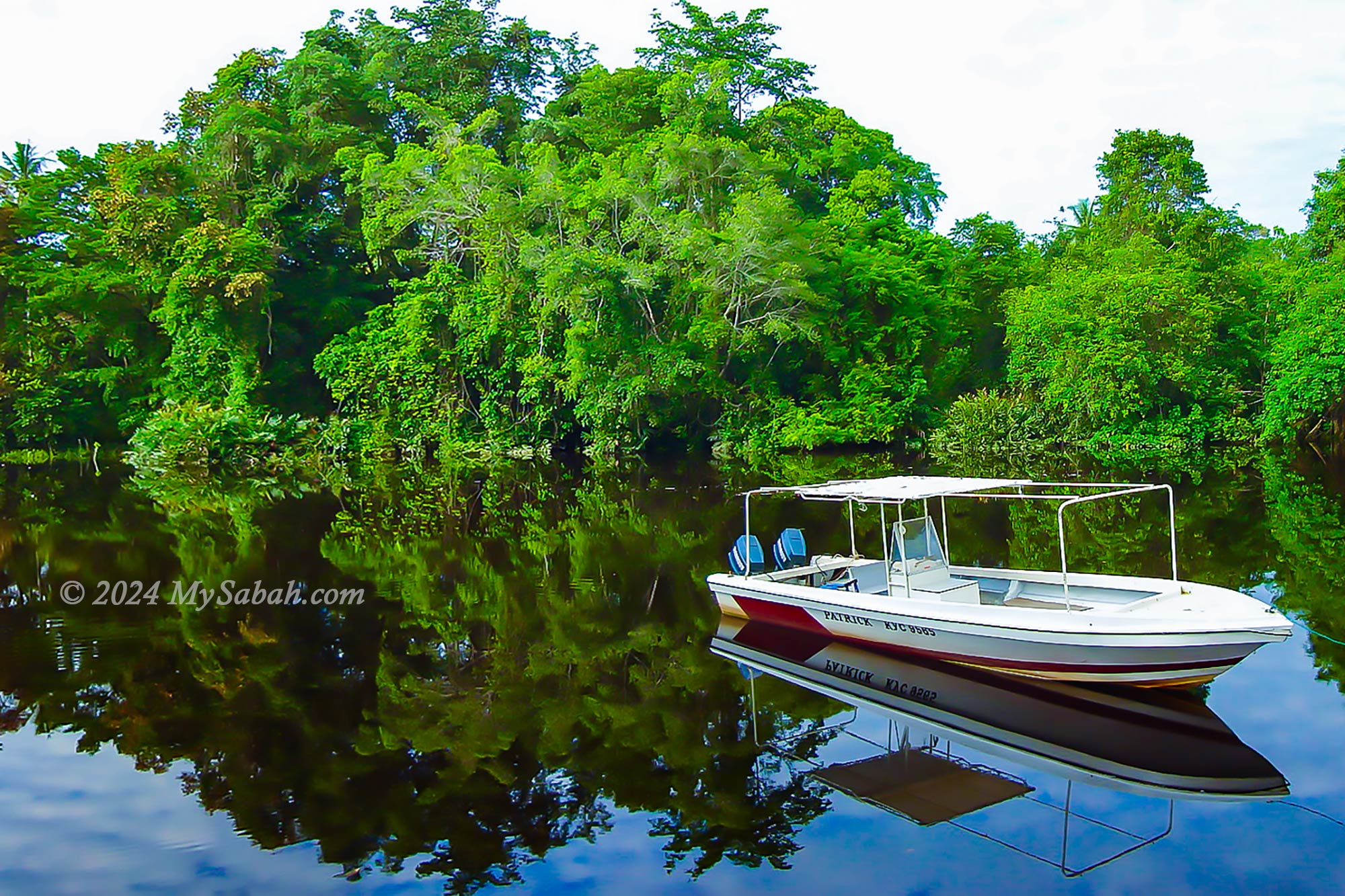
6. Klias Wetland
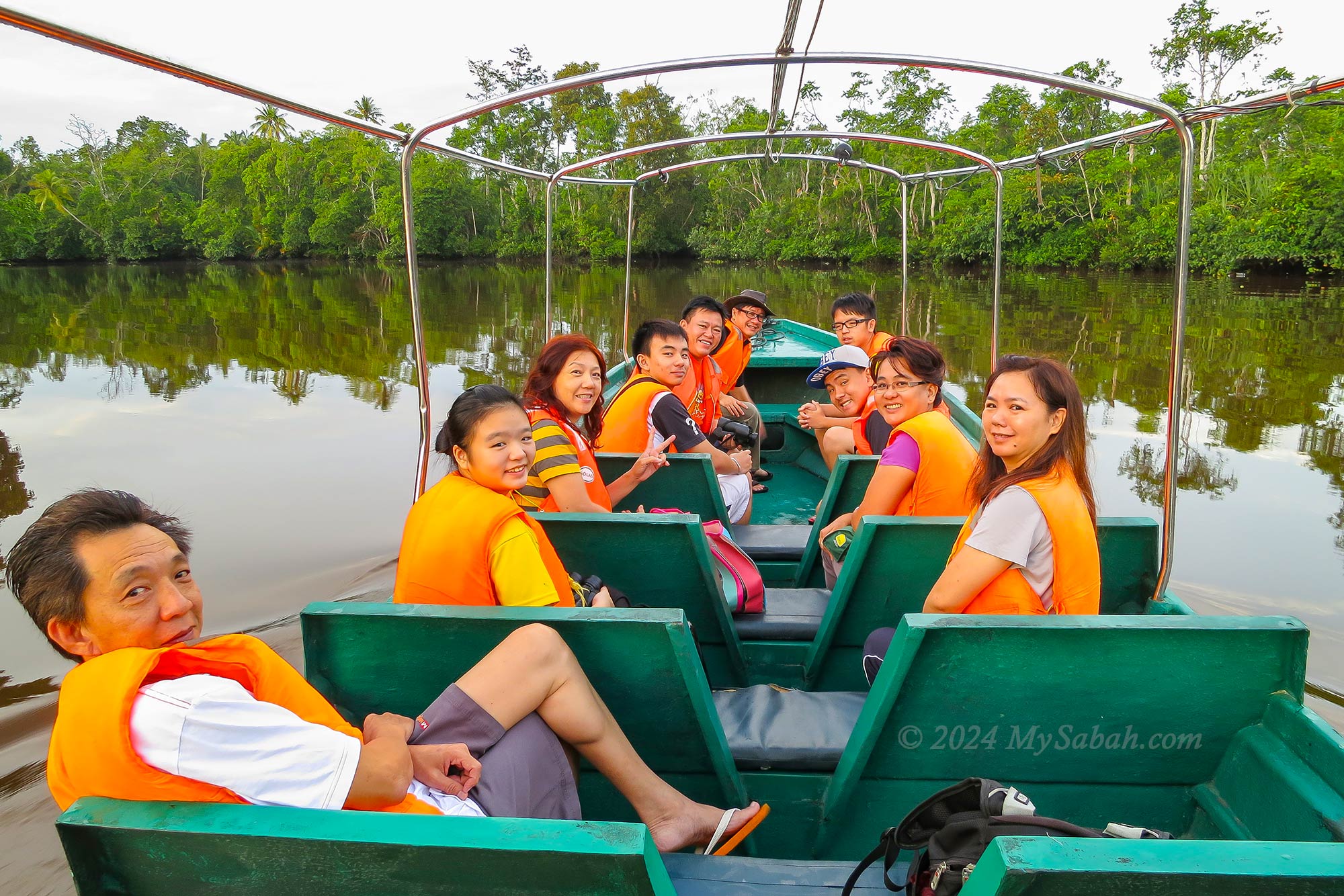
The Klias Peninsula is poised to become Malaysia’s next RAMSAR site, recognized for the exceptional biodiversity of a wetland. This unique ecosystem, encompassing peat swamp forests, harbors a rich variety of wildlife. Visitors can embark on leisurely boat cruises along the brackish river, which serves as a crucial carbon sink storing vast amounts of wood beneath its surface.
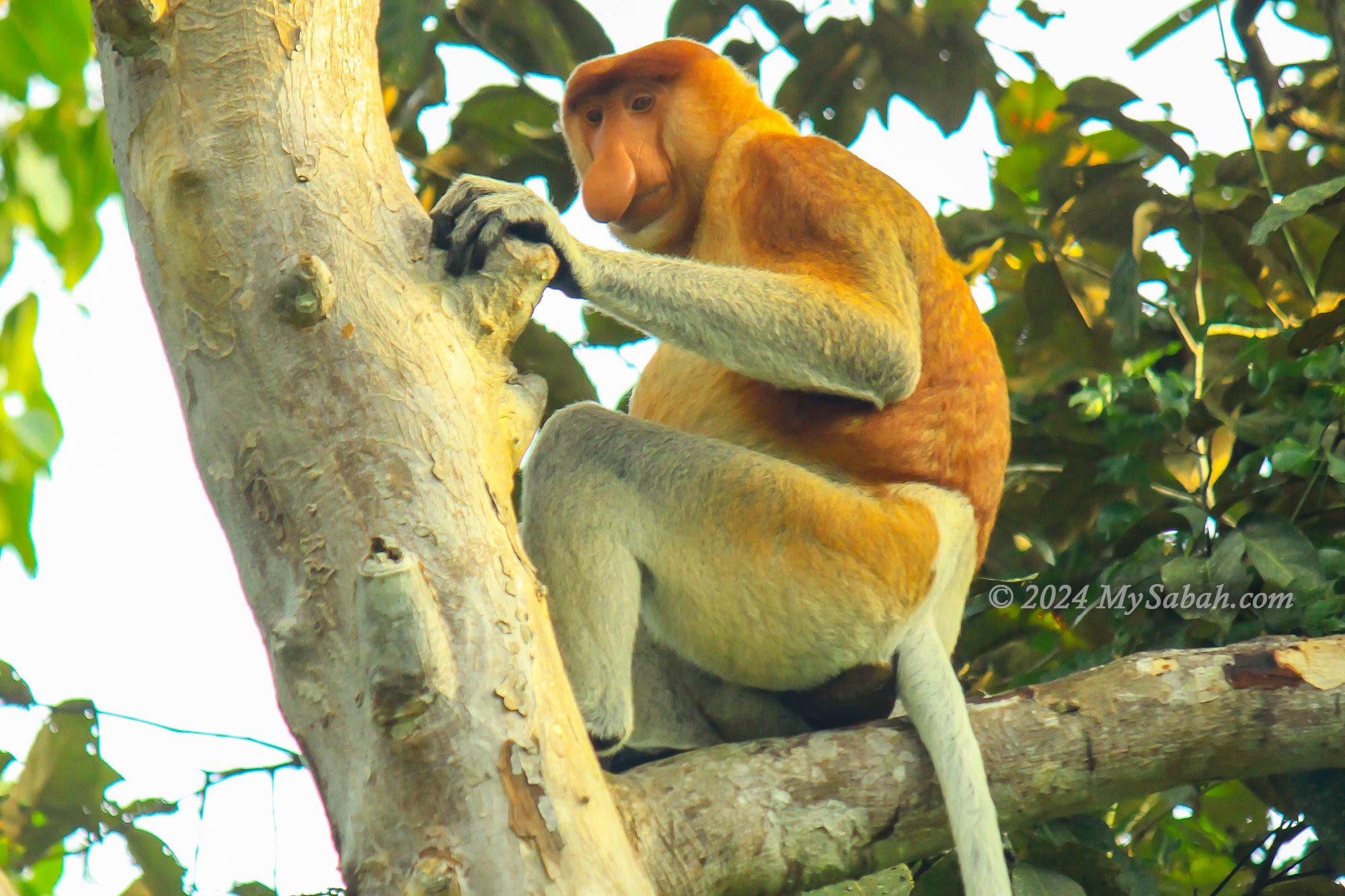
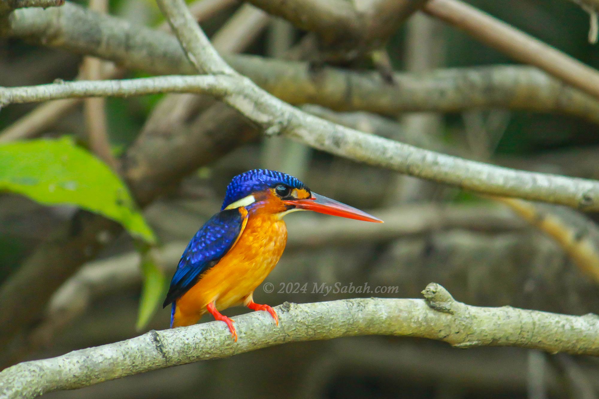
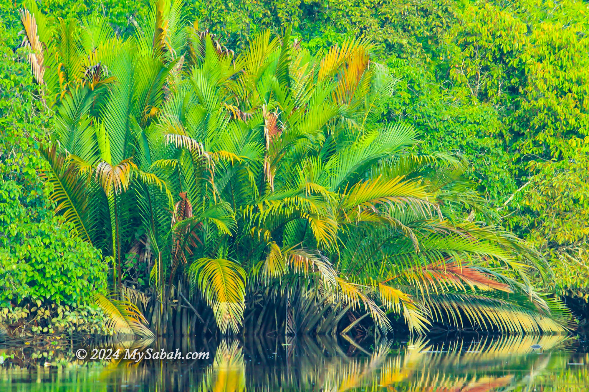
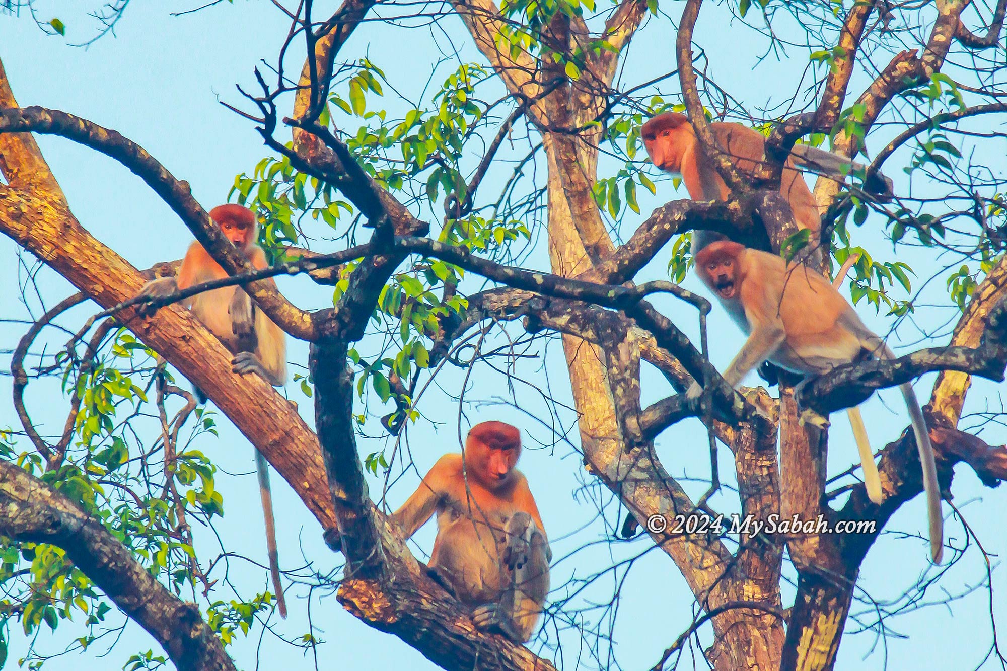
During the daytime, the enchanting sight of proboscis monkeys, endemic to Borneo, steals the show. Abundant sightings of other animals, including oriental darters, hornbills, kingfishers, grey-leaf monkeys, and macaques, add to the allure. As night falls, prepare to be mesmerized by a magical spectacle as thousands of fireflies adorn the trees along the riverbank, resembling twinkling Christmas trees on a summer’s night. Read more…
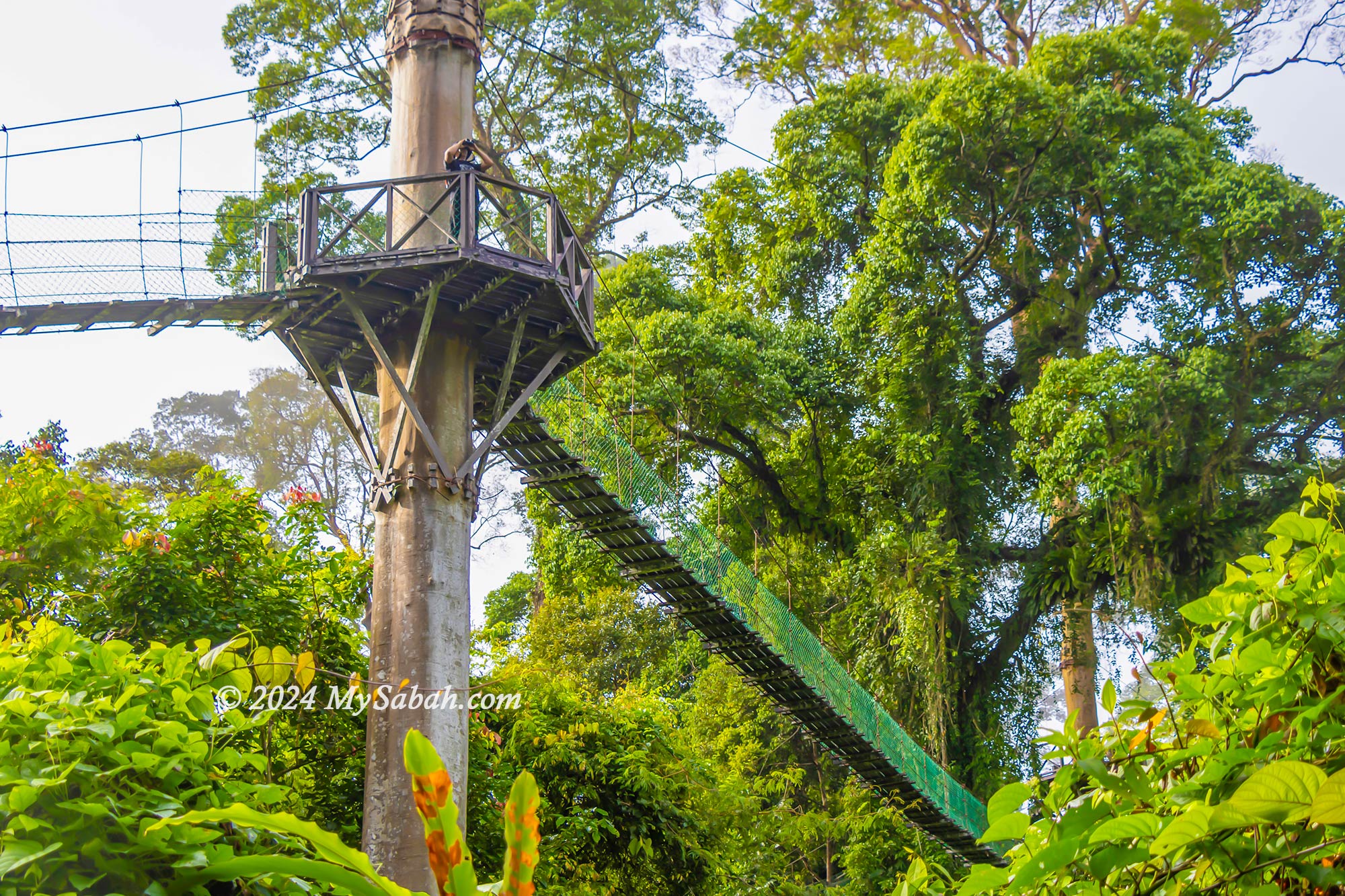
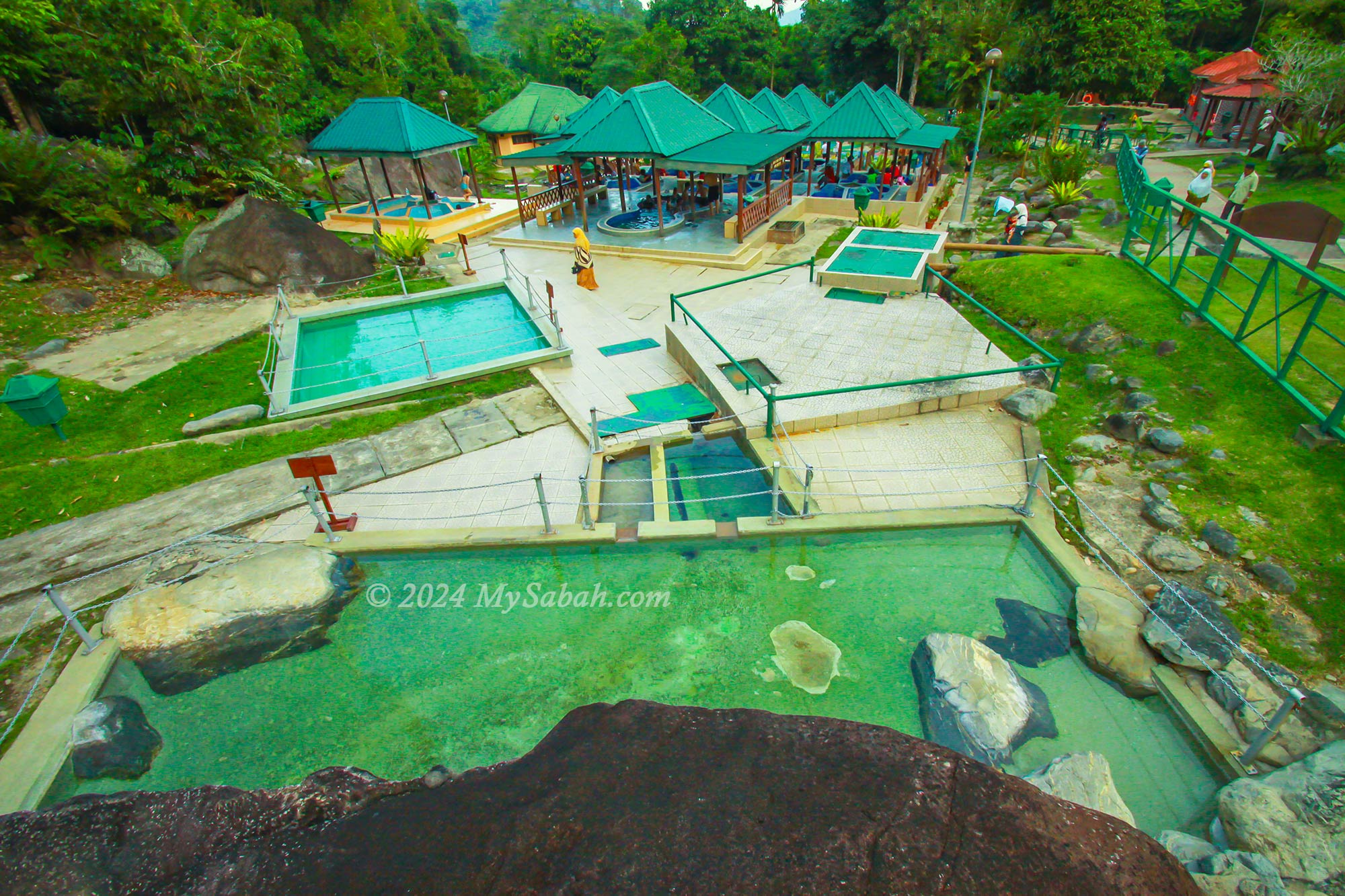
7. Poring Hot Springs
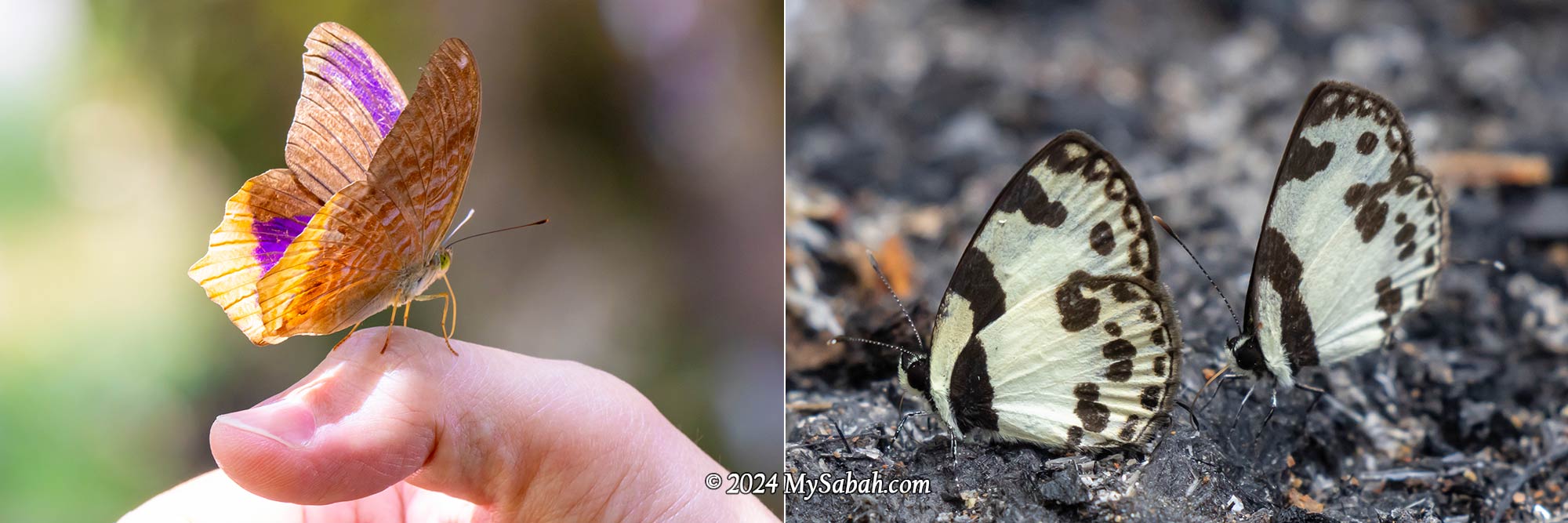
Poring is not boring! Poring offers a refreshing escape for those seeking relaxation and adventure alike. Relax and rejuvenate in the soothing Sulphur hot springs, renowned for their therapeutic properties beneficial for both skin and ailments. Explore the butterfly garden, home to rare species like the Rajah Brooke Birdwing.
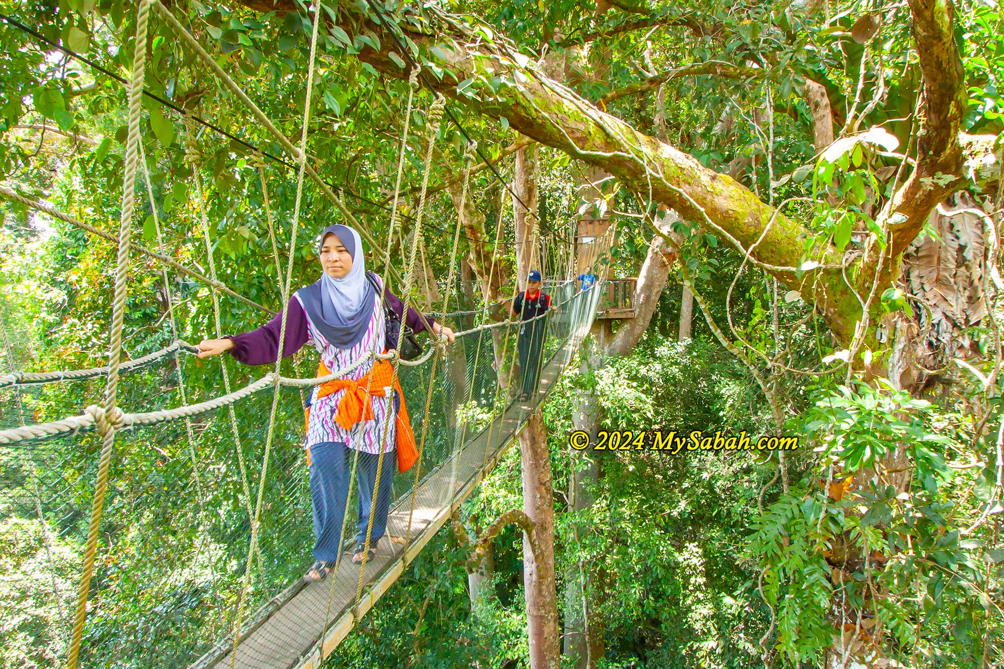
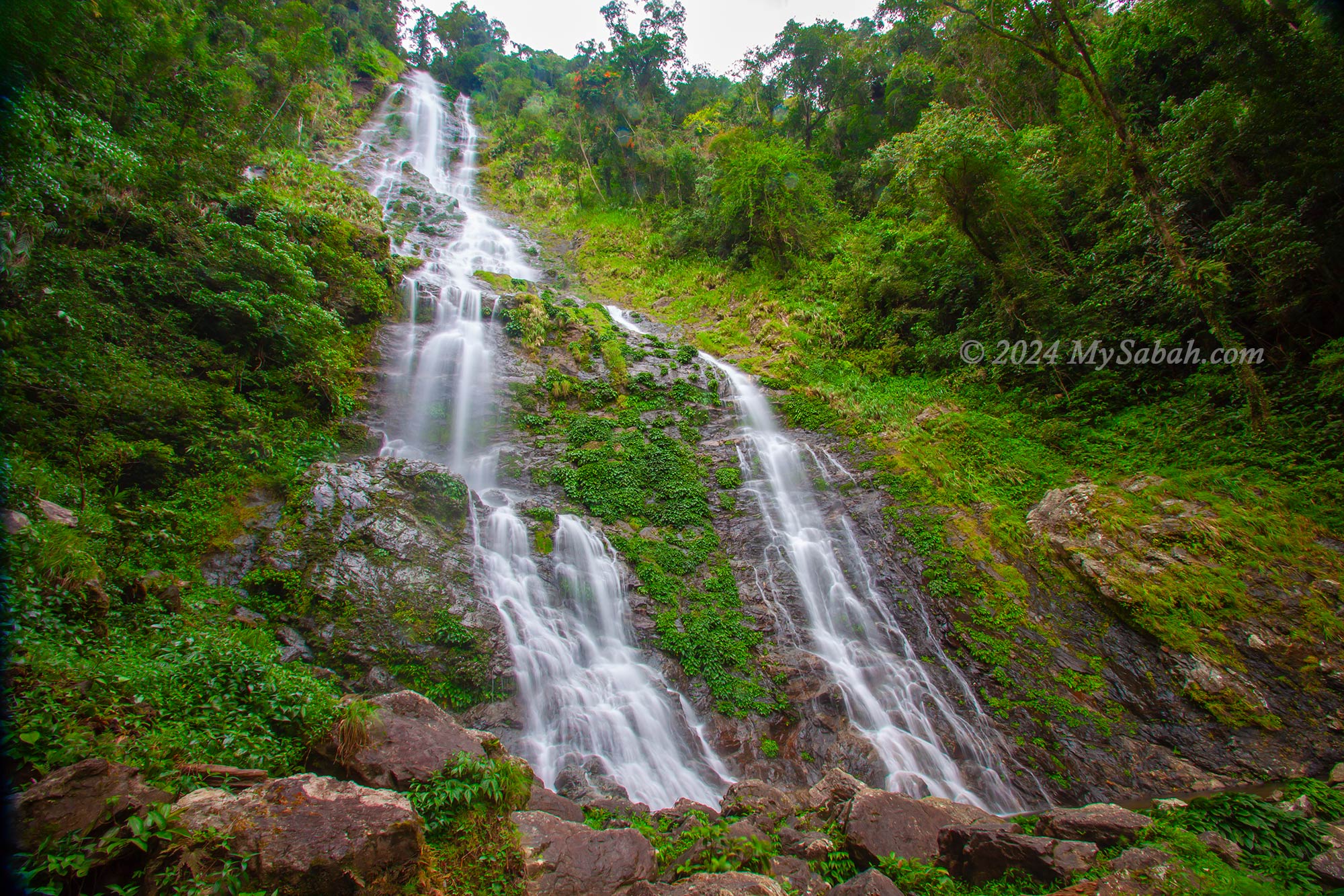
For thrill-seekers, challenge your fear of heights with a stroll across the wobbly canopy walk, suspended 40 meters above ground—a thrilling experience and one of Sabah’s highest. If that’s not enough excitement, embark on a two-hour hike to the majestic Langanan Waterfall, one of Sabah’s tallest.
Poring also offers cozy chalets for those wishing to fully immerse themselves in nature’s embrace. Nearby, keep an eye out for the blooming rafflesia flower, a rare and impressive sight during the right season. Read more…
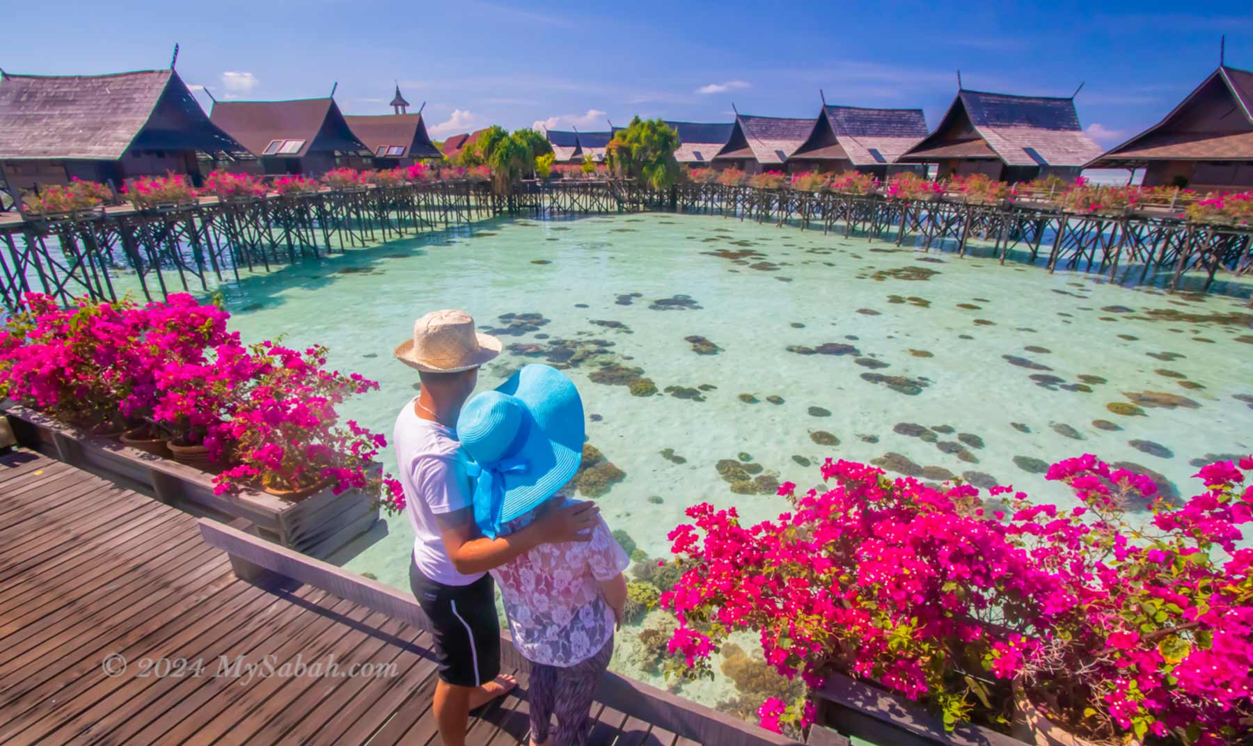
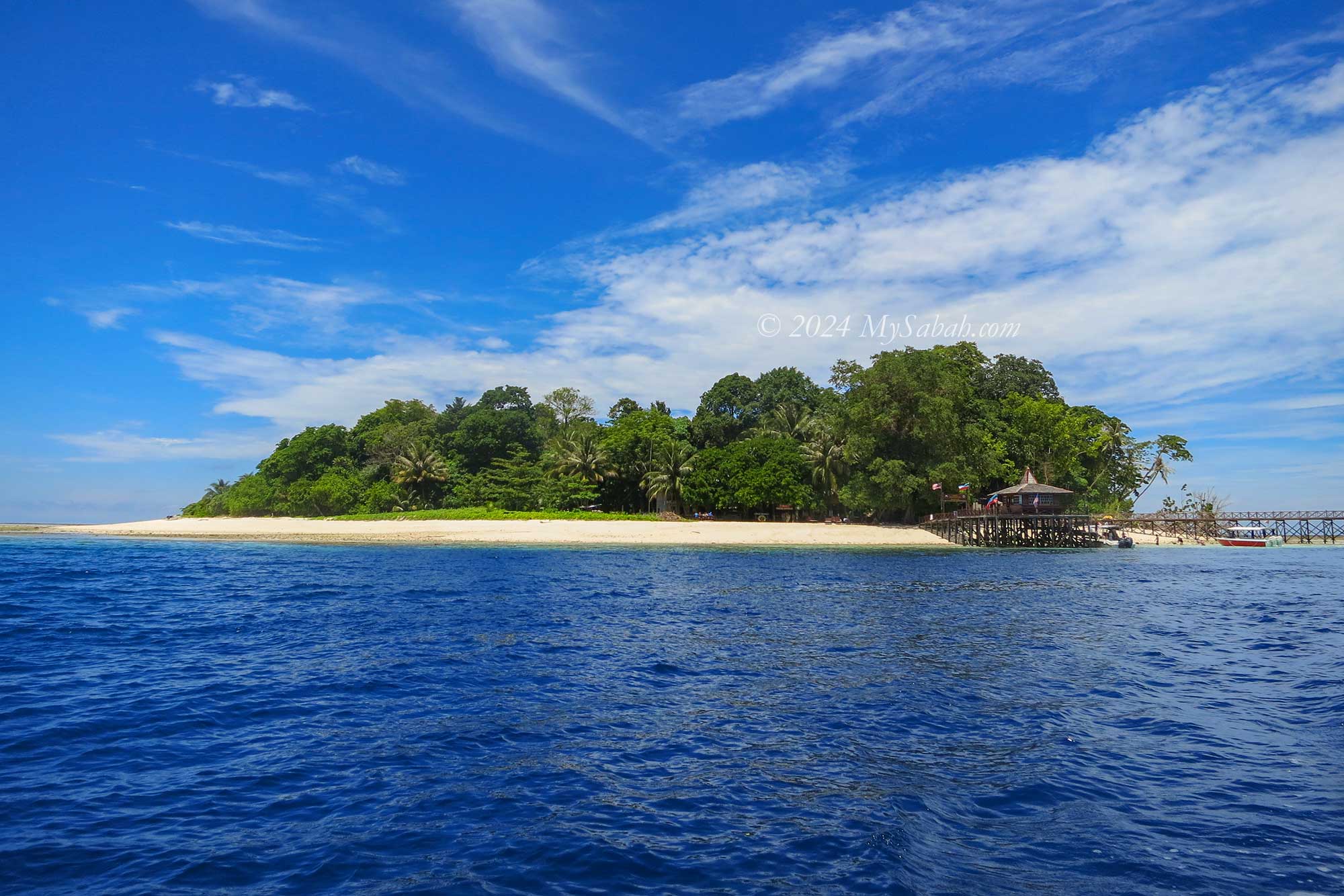
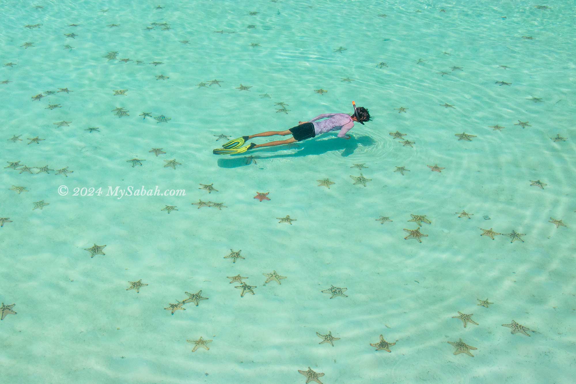
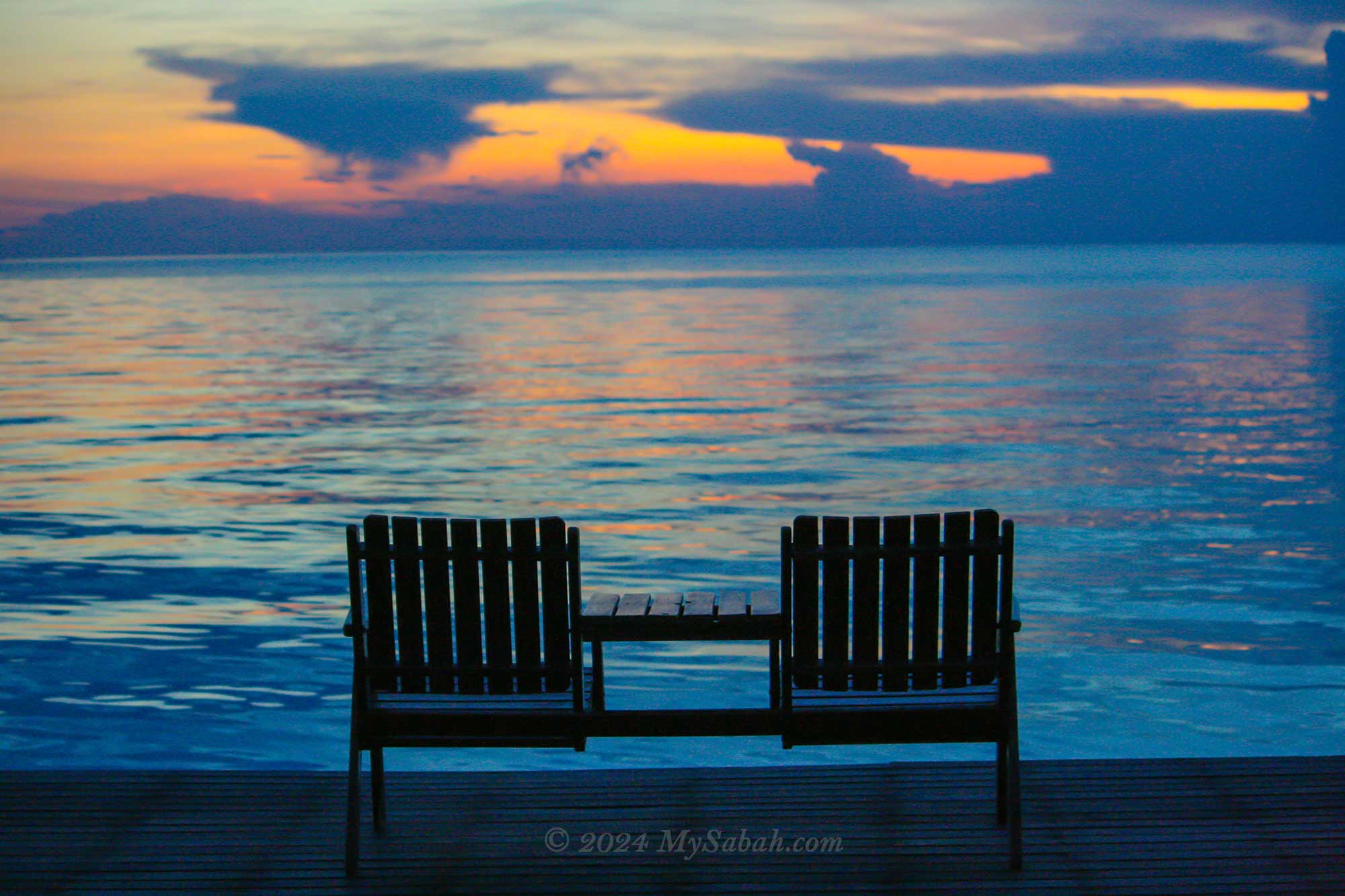
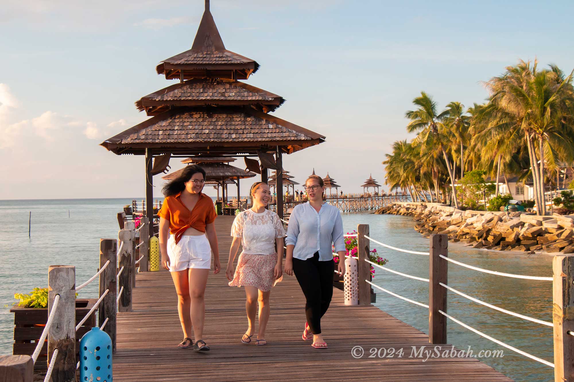
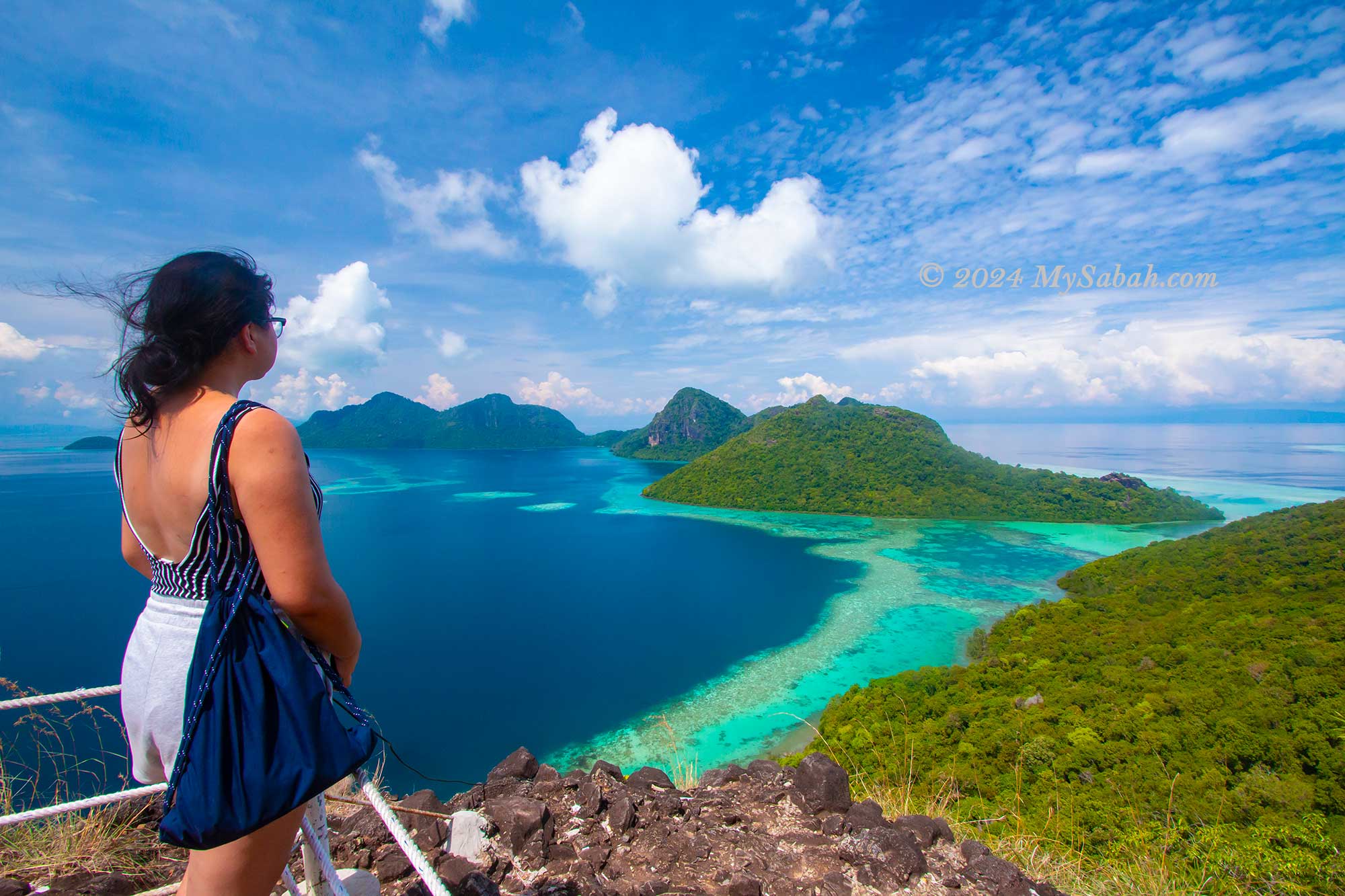
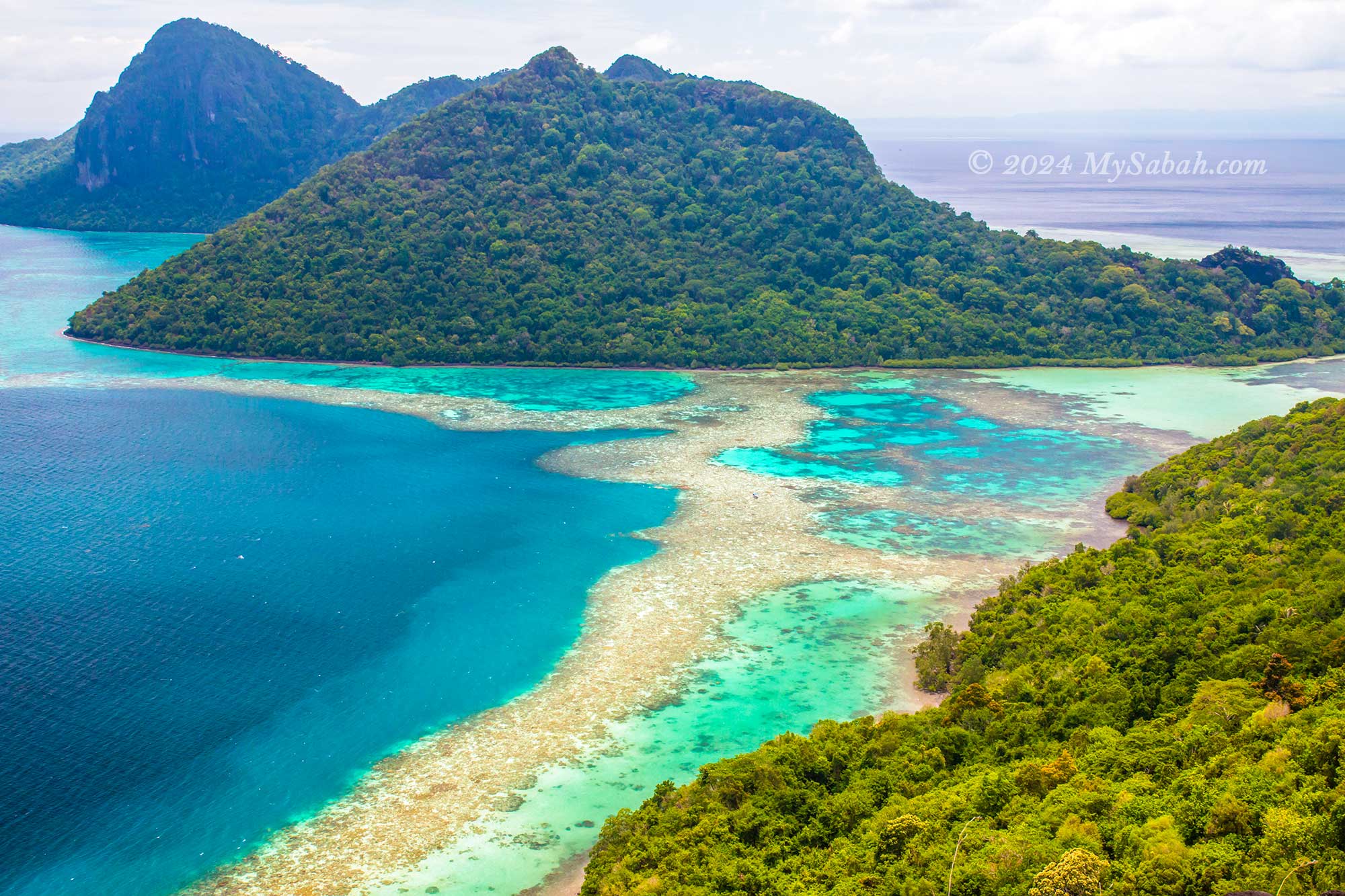
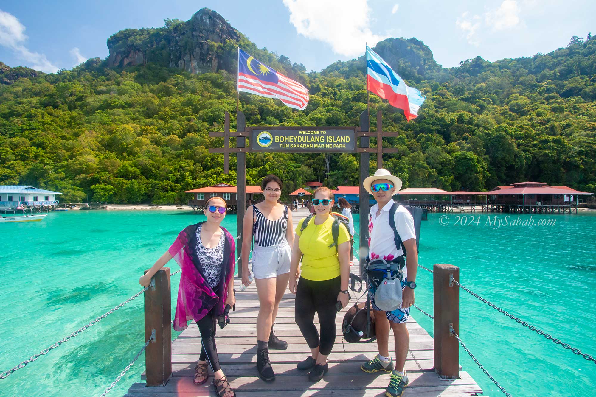
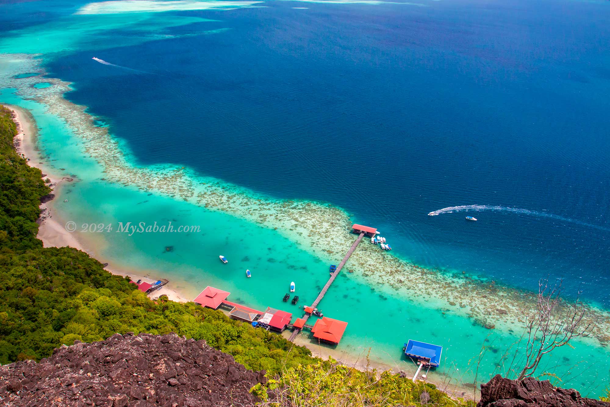
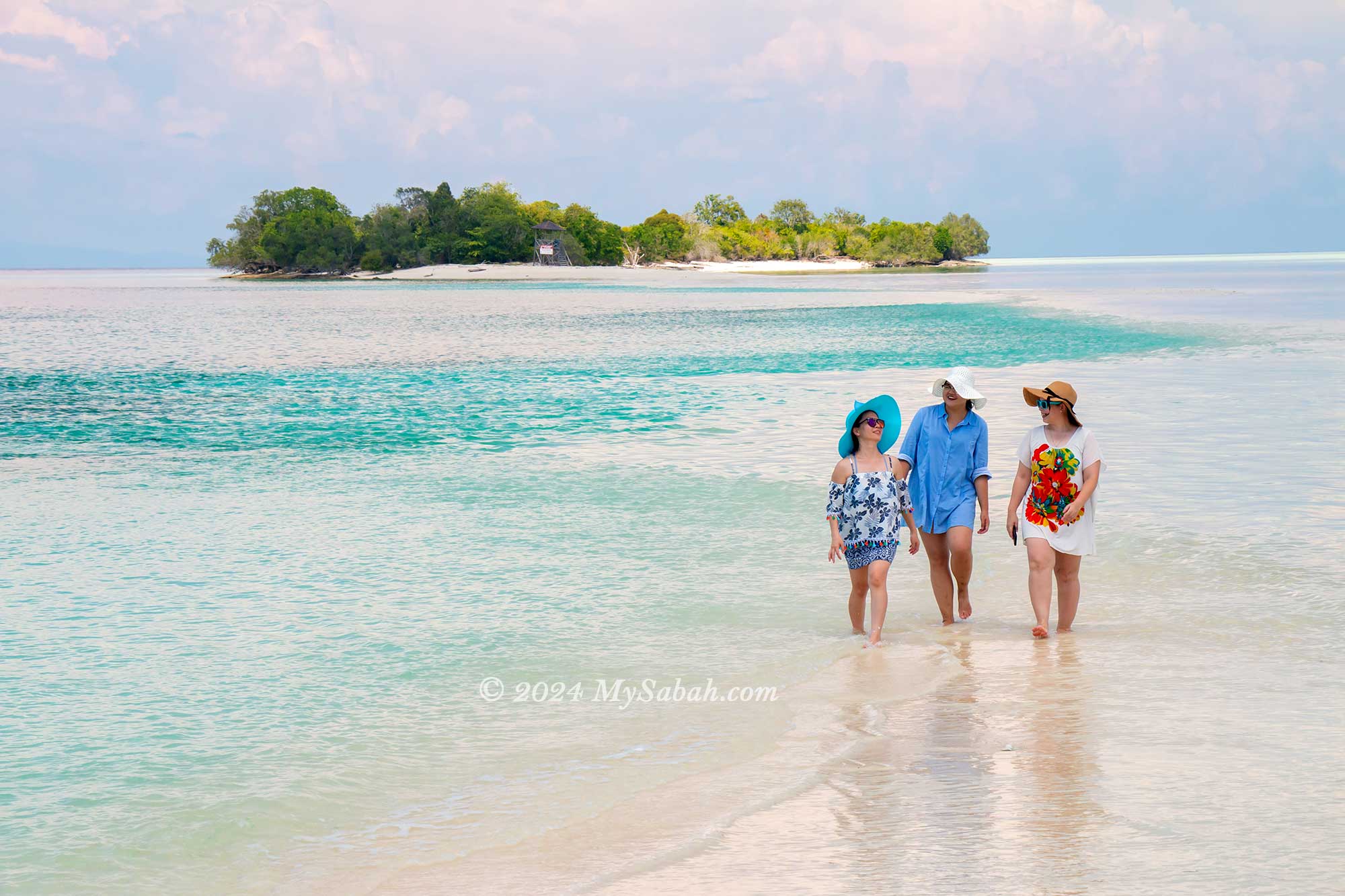
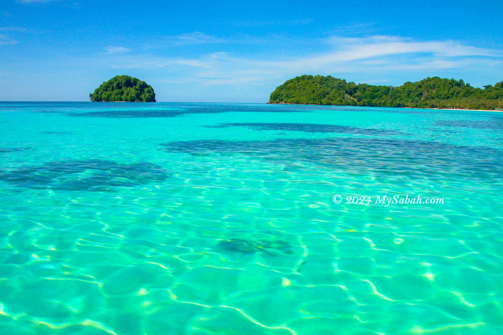
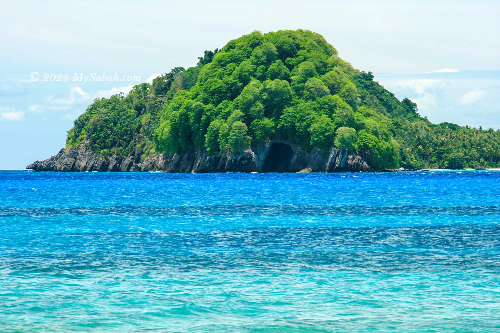
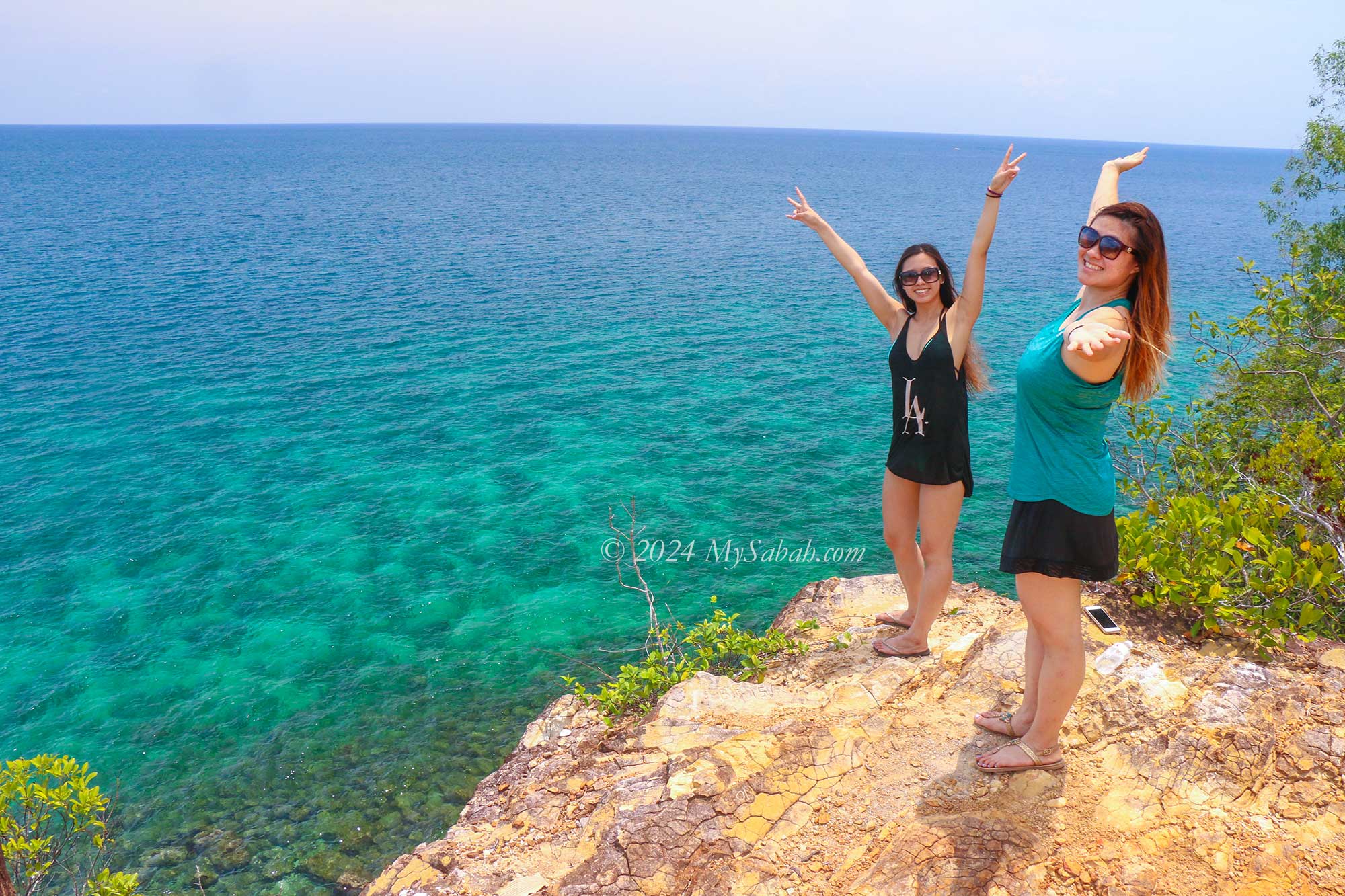
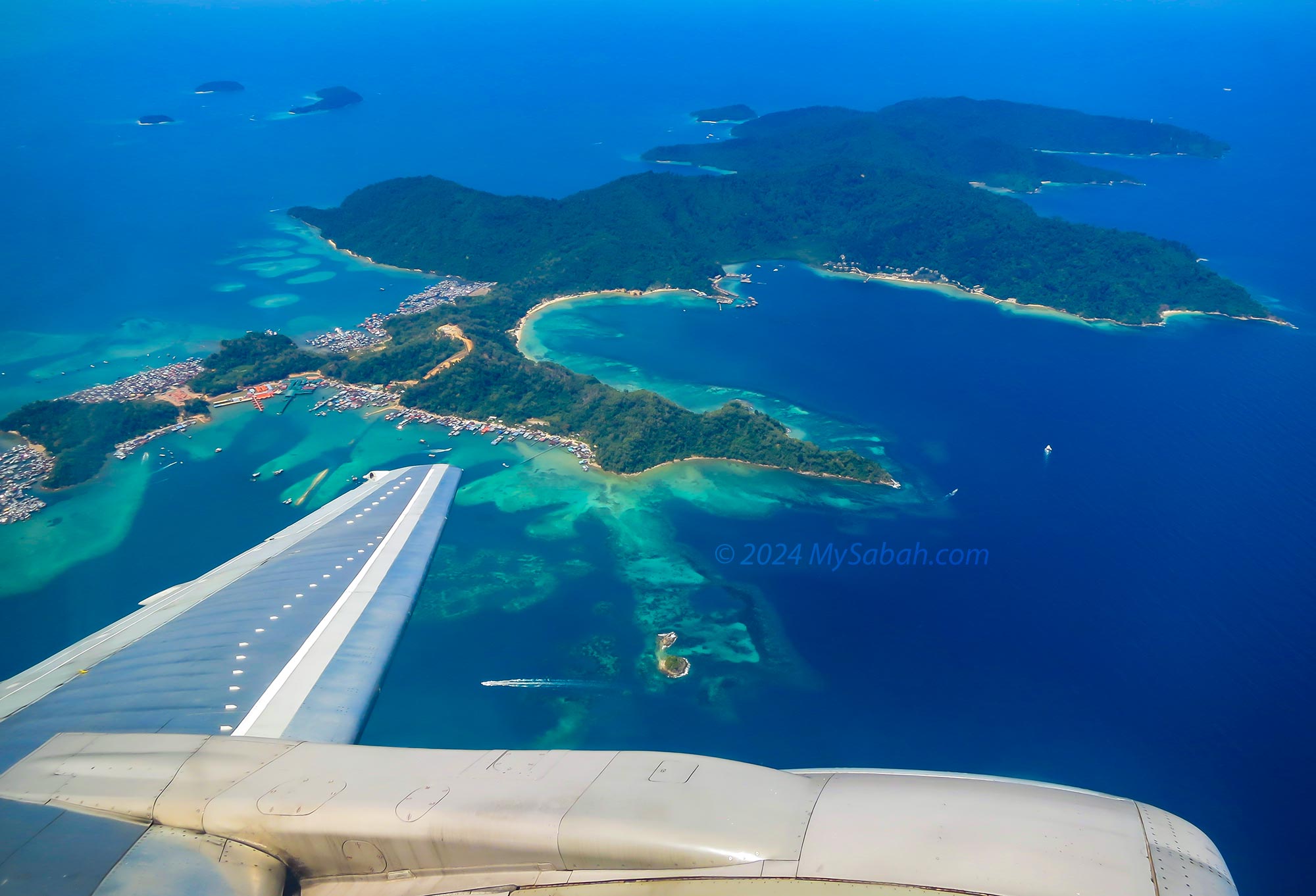
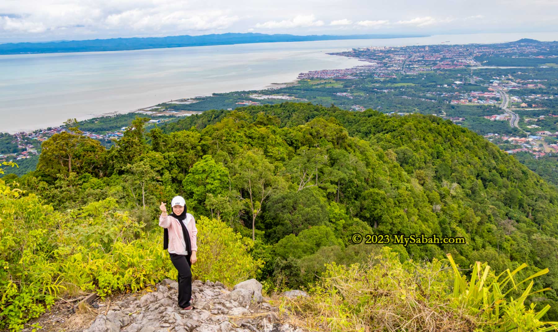
8. Boheydulang Island
Prepare to be awestruck by the breathtaking beauty of Boheydulang Island, where every vista elicits a resounding “WOW!” This enchanting island boasts arguably the most scenic sea views in all of Borneo. Situated within the Tun Sakaran Marine Park, Boheydulang is one of eight islands formed by an ancient volcano that erupted 2.5 million years ago. Most of the volcano’s crater is now submerged beneath the sea, with the remnants forming the picturesque islands we see today. Nicknamed Pearl Island, Boheydulang is steeped in legend, with tales of Princess Salamiah, who is said to have taken refuge on the island and transformed into a fairy.
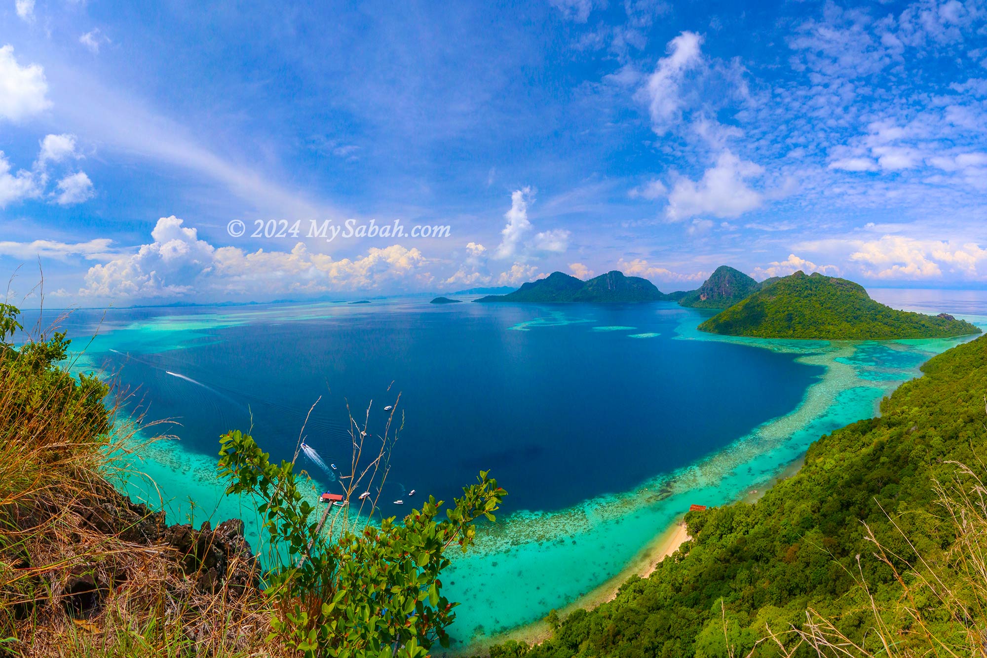
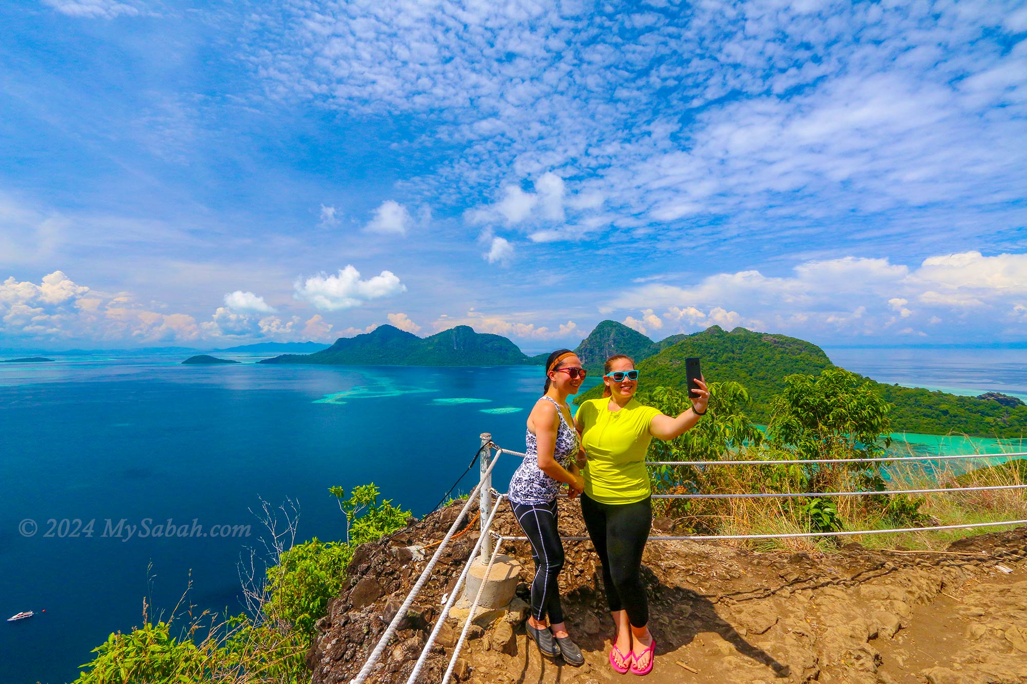
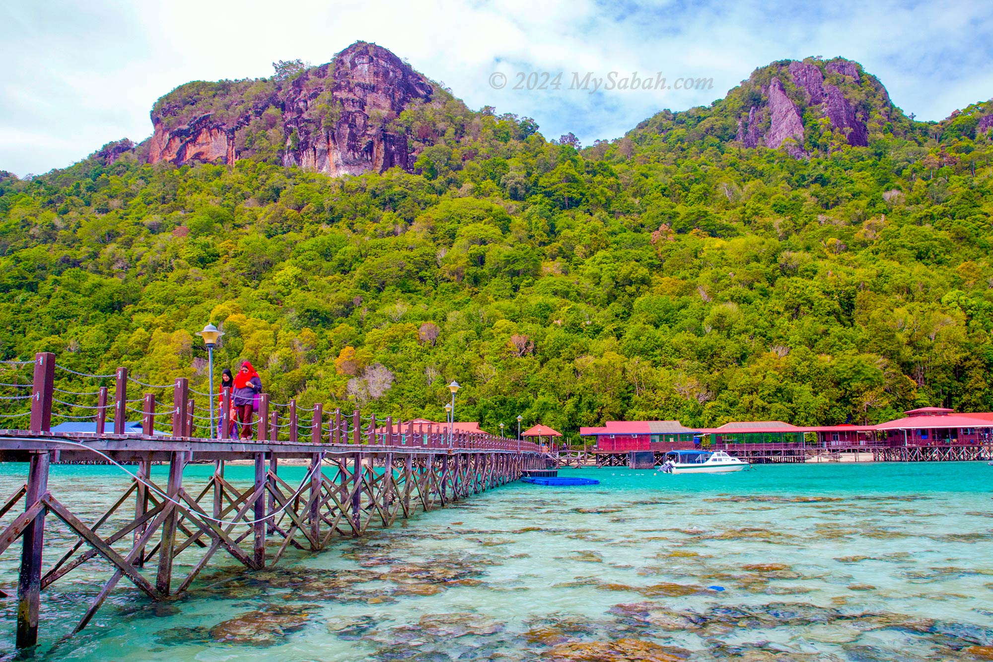
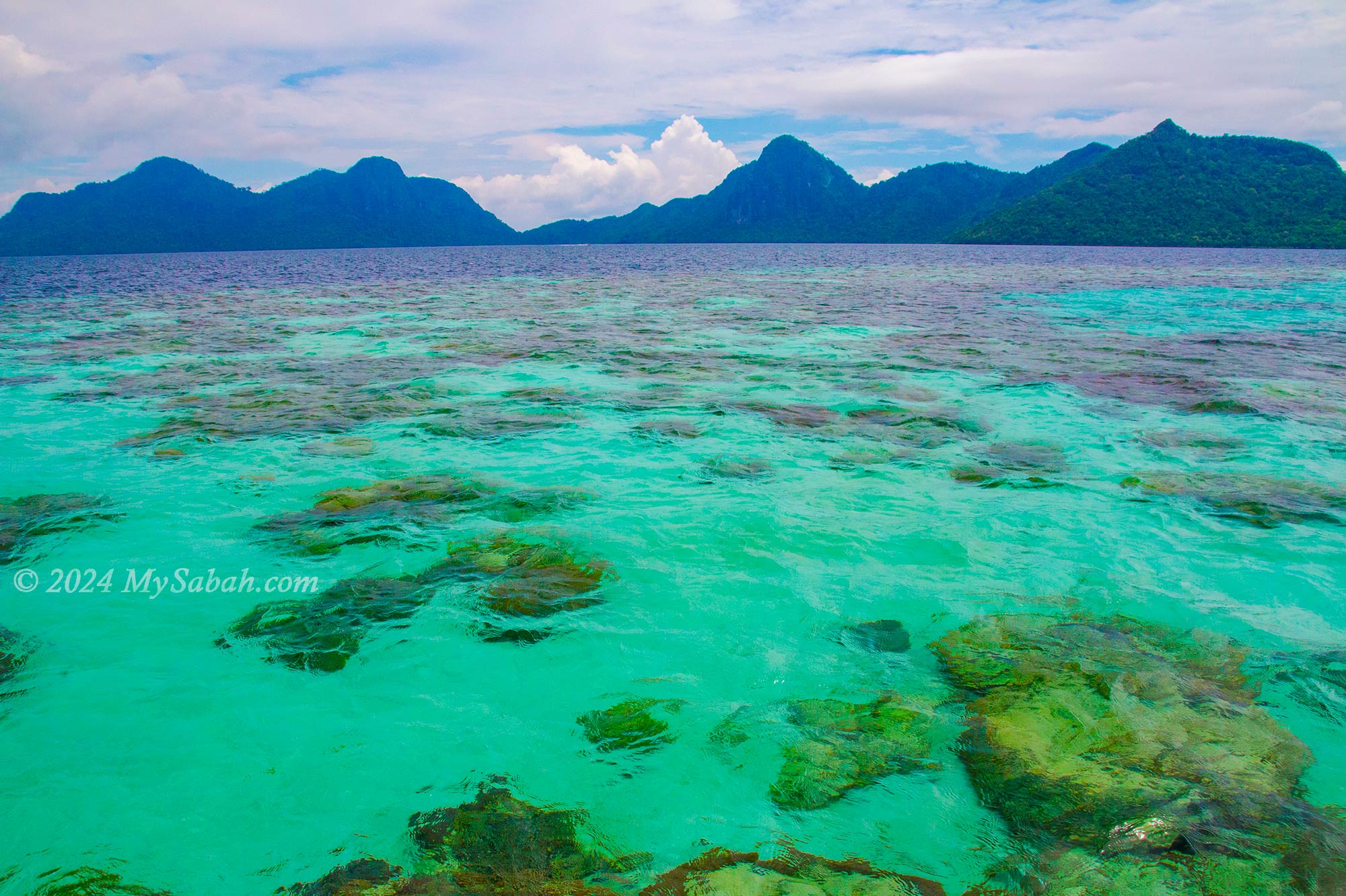
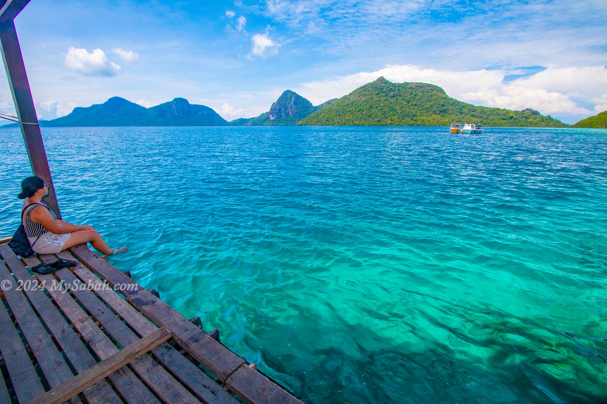
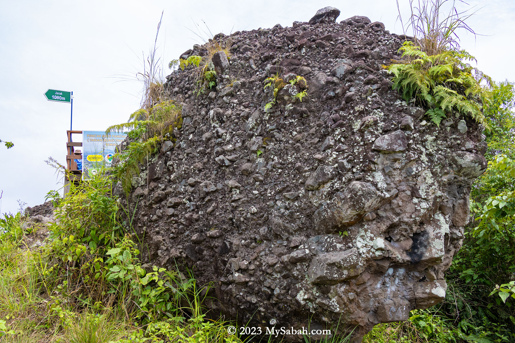
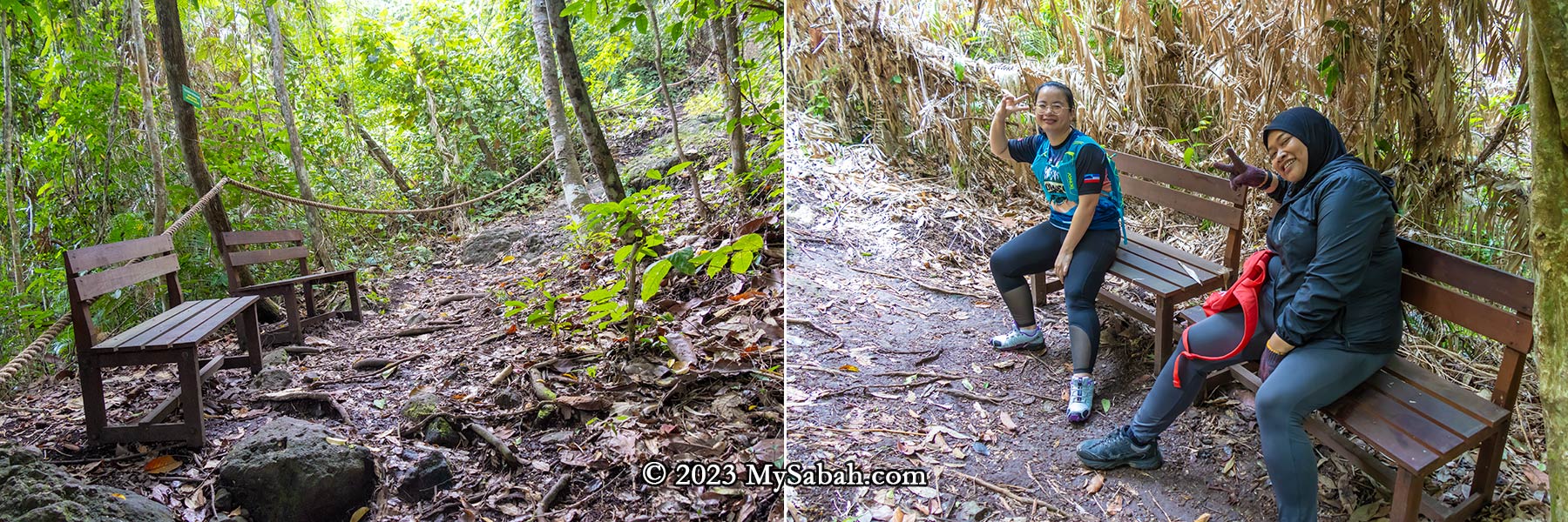
To soak in the island’s unparalleled beauty, embark on a 45-minute hike to the summit of Boheydulang, towering approximately 353 meters above sea level. The panoramic scenery from the summit is truly unforgettable, making Boheydulang one of the most sought-after destinations in Semporna, often hailed as the Maldives of Southeast Asia. Read more…
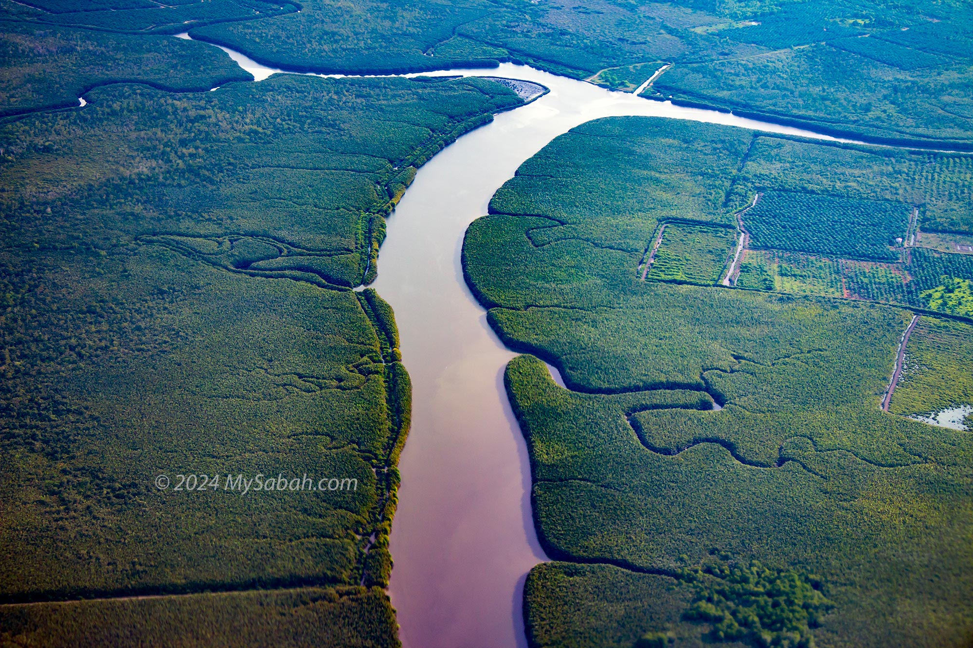
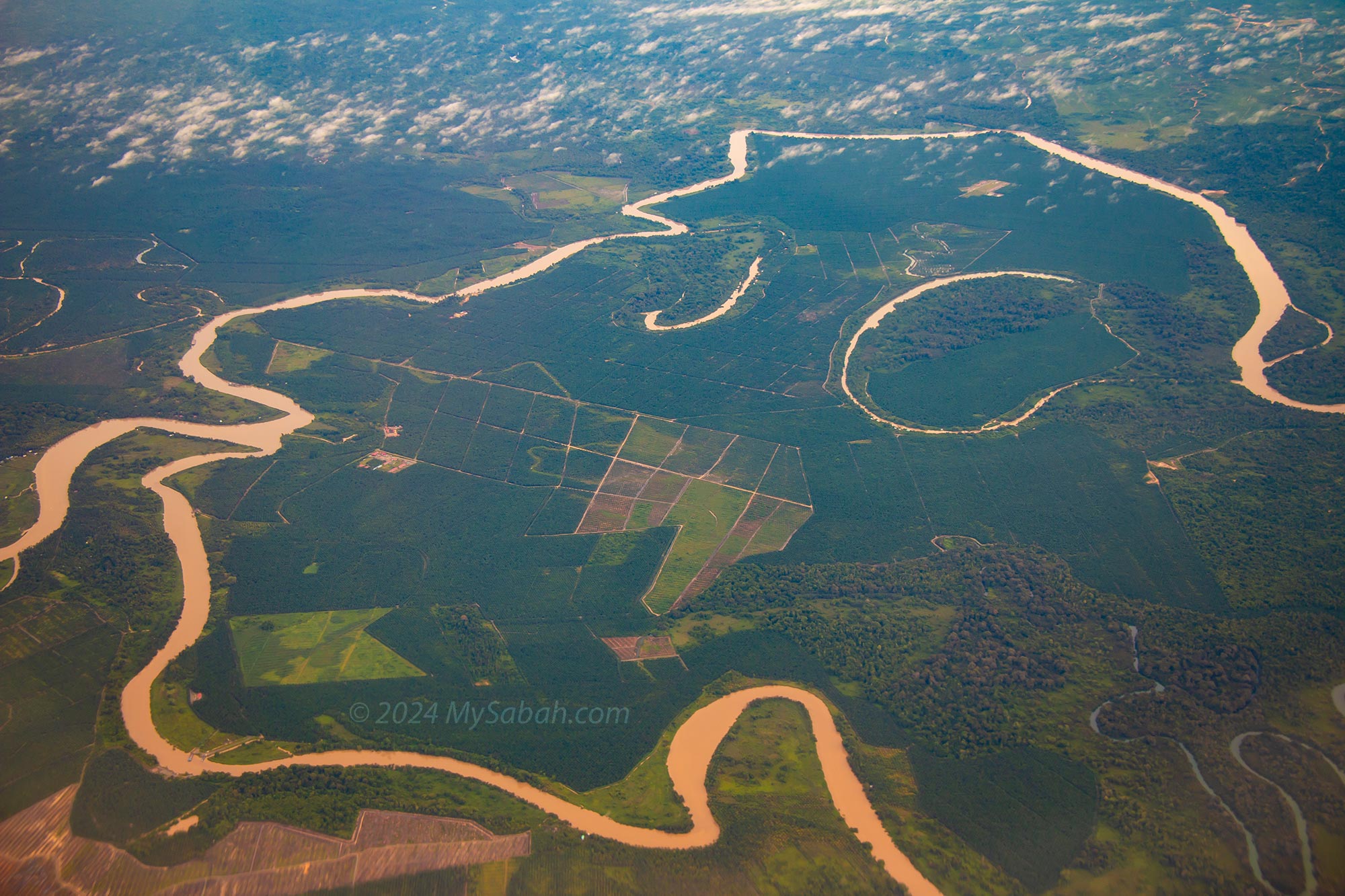
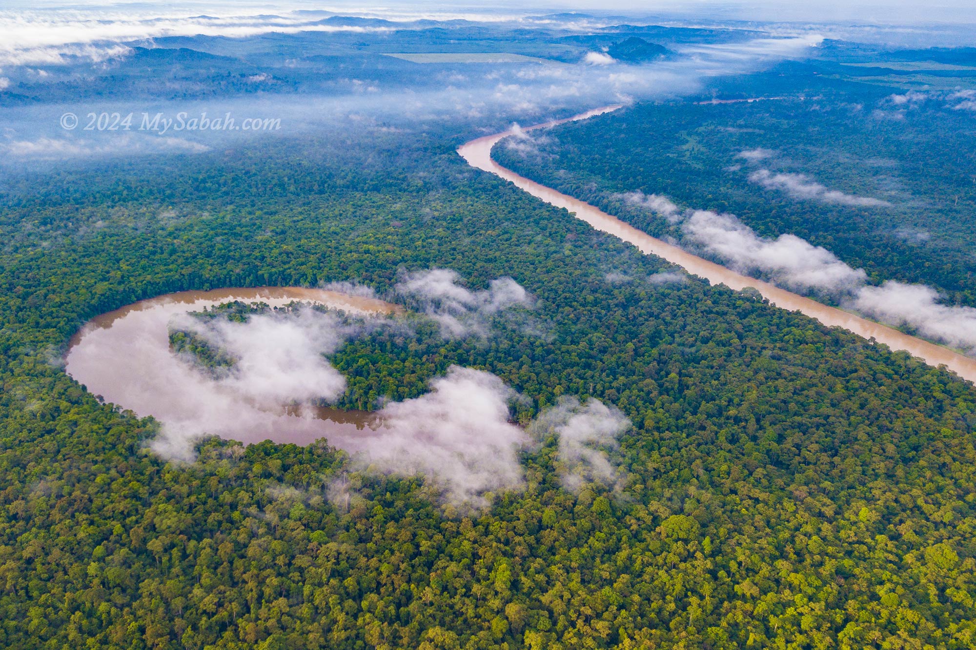
9. Kinabatangan River
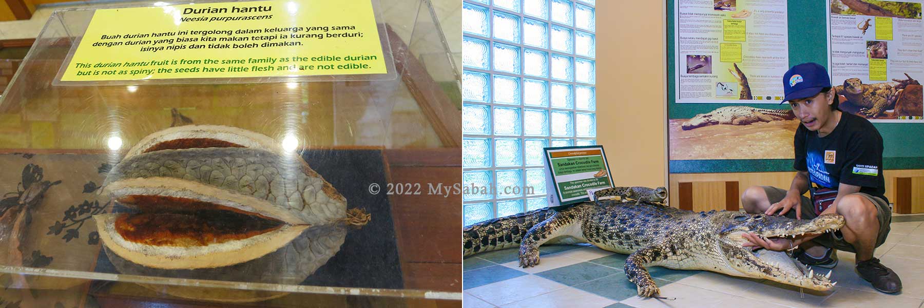
Stretching an impressive 560 kilometers, the Kinabatangan River holds the distinction of being Malaysia’s second-longest river. Meandering from the heart of Sabah to its eastern coast, this river nourishes vast expanses of Borneo rainforest, including ox-bow lakes, mangroves, and wetlands. It’s a realm inhabited by a rich array of Borneo’s iconic wildlife, including orangutans, proboscis monkeys, crocodiles, sun bears, and pygmy elephants.
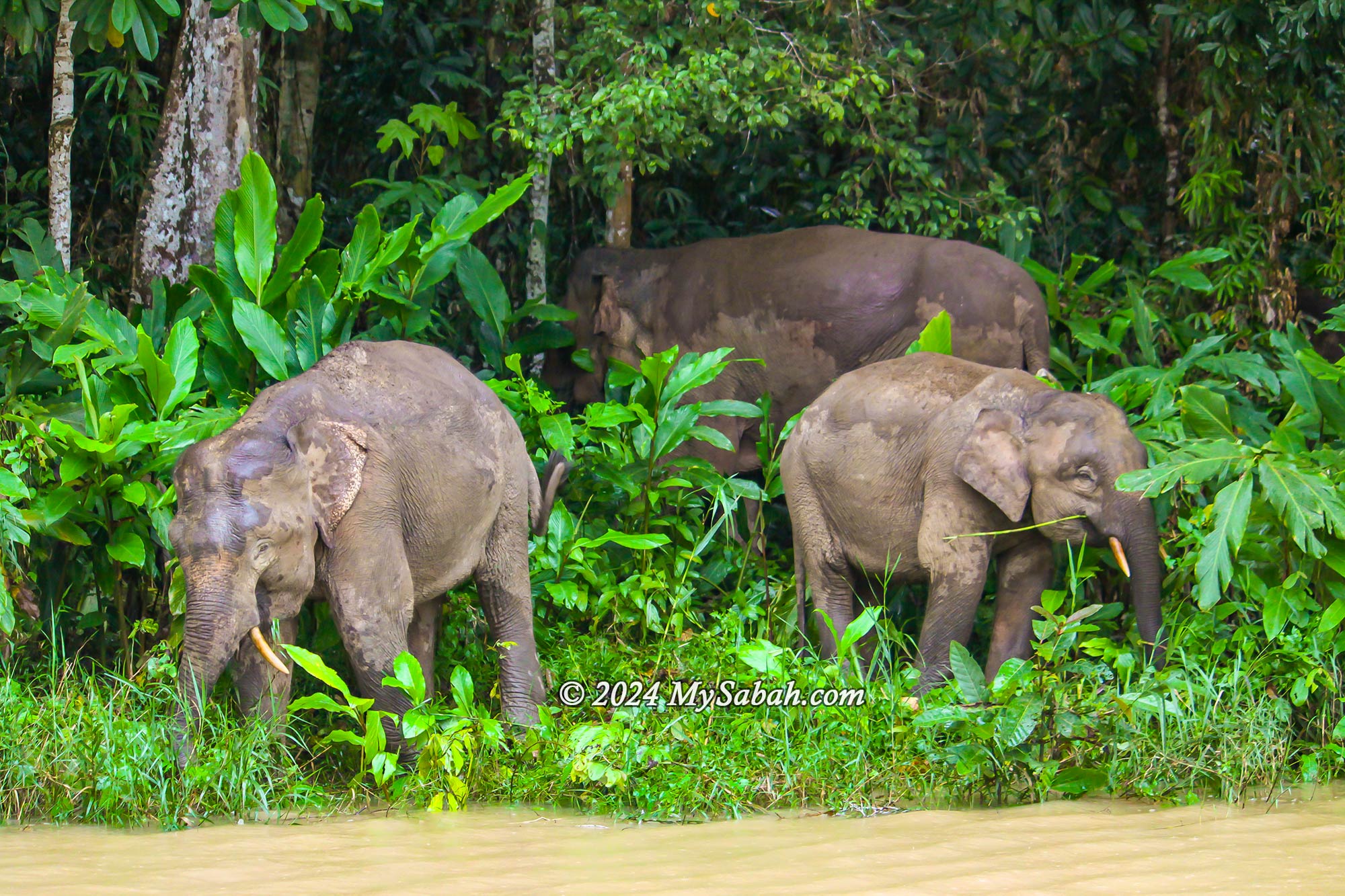
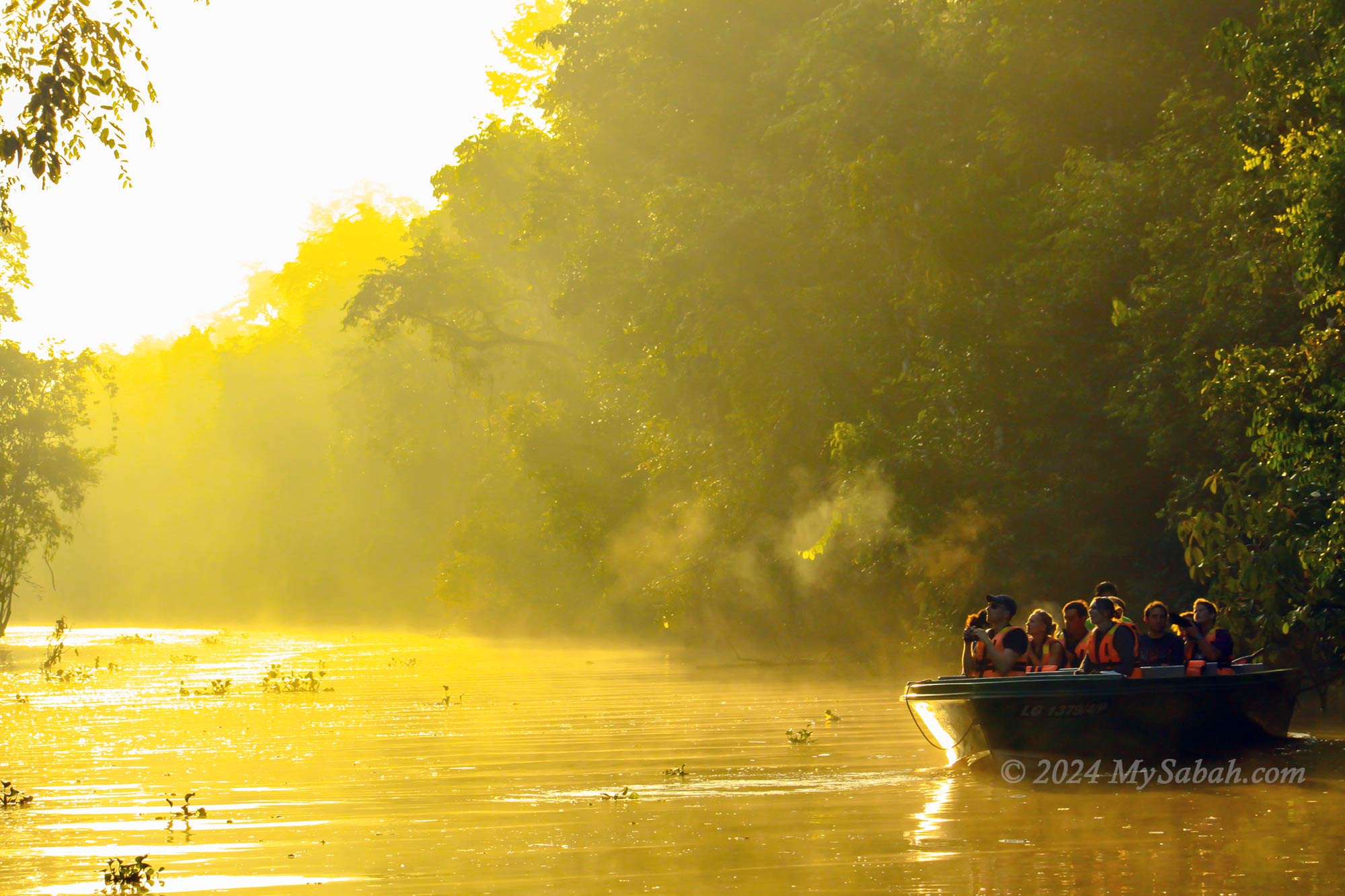
Embark on a tranquil boat ride during the morning or dusk hours, and you’ll witness wildlife bustling along the riverbanks, showcasing their natural behaviors. Bird enthusiasts flock here to capture images of unique avian species such as hornbills, kingfishers, and oriental darters. Spotting rare birds like the Pitta, Bornean Ground Cuckoo, Storm’s Stork, and Bornean Bristlehead is considered a prized achievement, akin to discovering a hidden treasure. Read more…
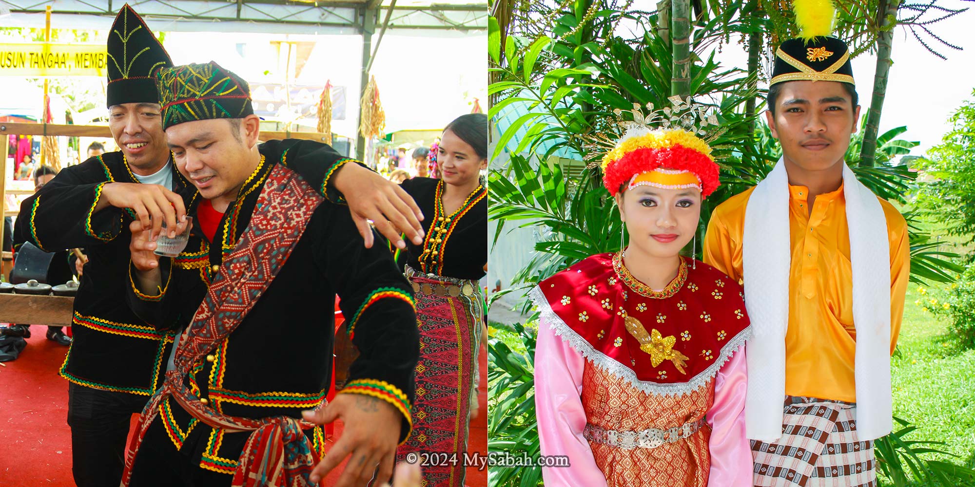
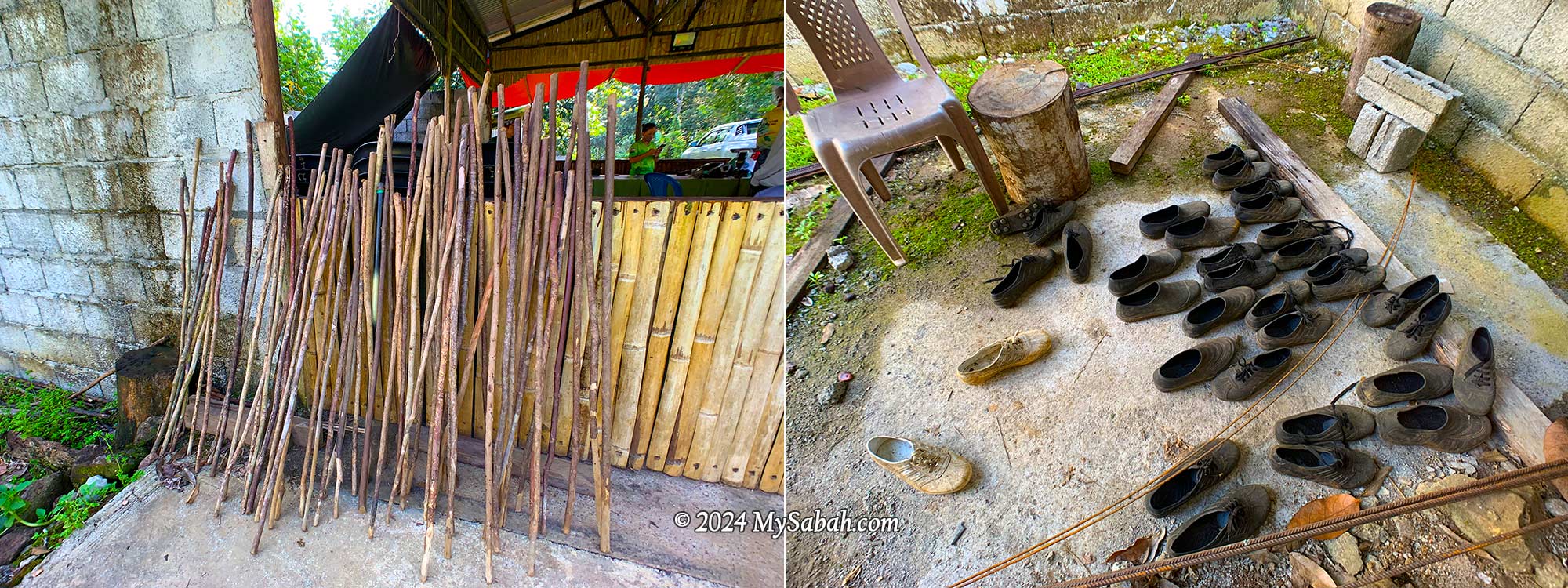
10. Mari-Mari Cultural Village
After having so much fun with nature attractions, most tourists miss out on the important part of the Borneo experience – the colorful Borneo cultures. The Mari-Mari Cultural Village fills in the gap by showcasing the captivating traditions and customs of the five main tribes of Sabah. All of this is done in a village complex surrounded by rainforest with authentic traditional settings.
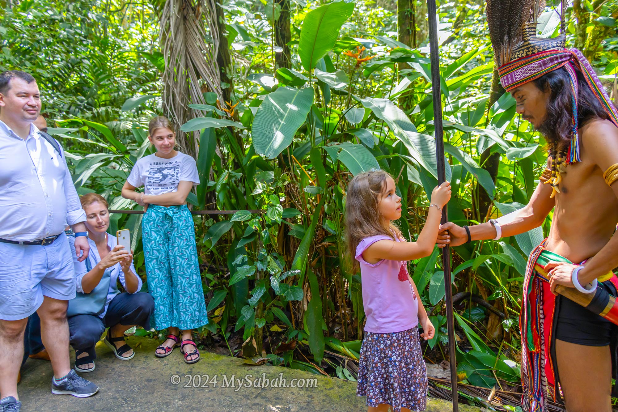
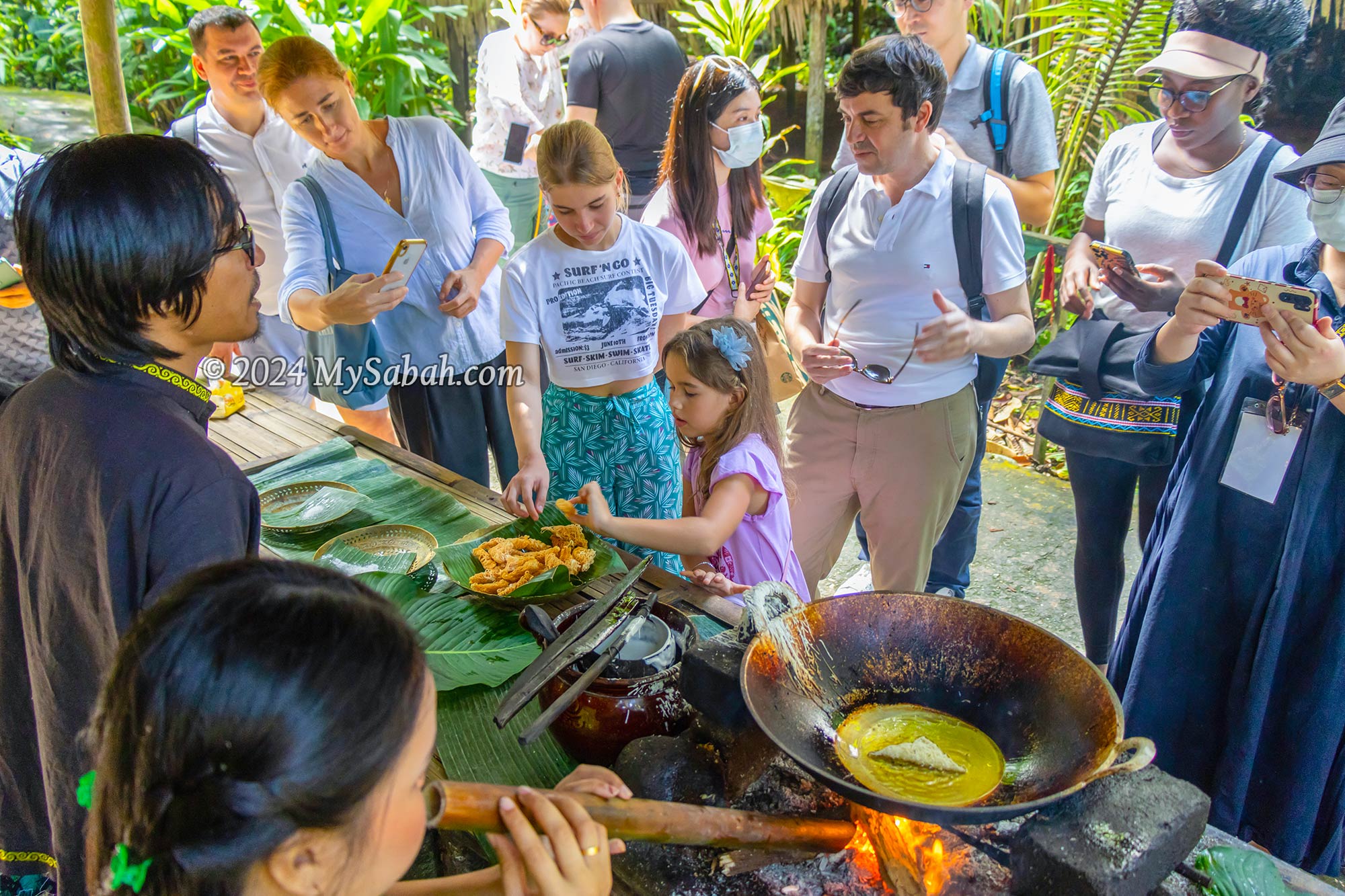
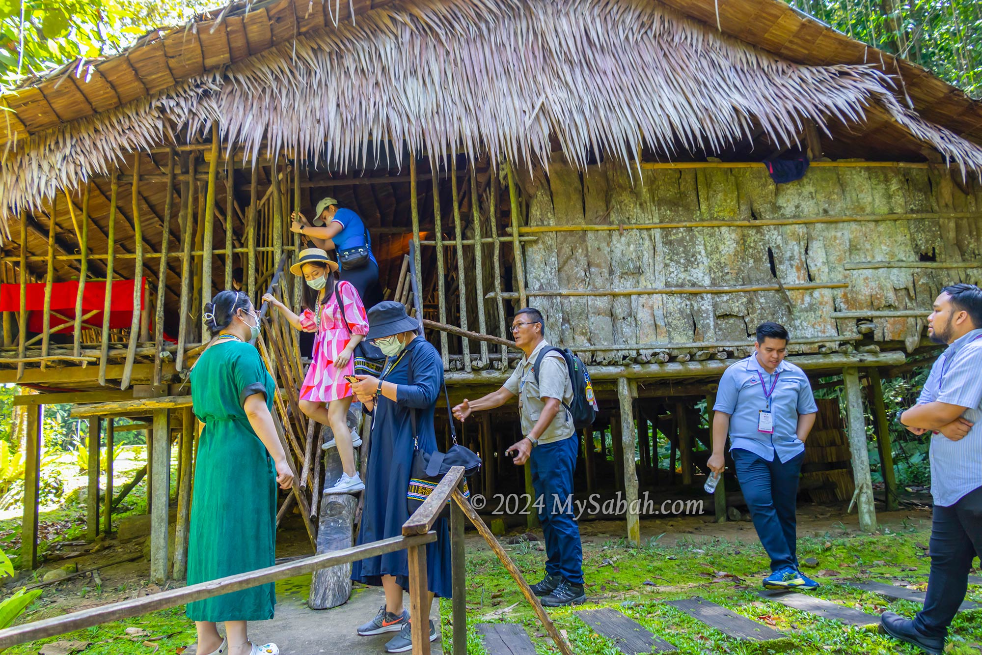
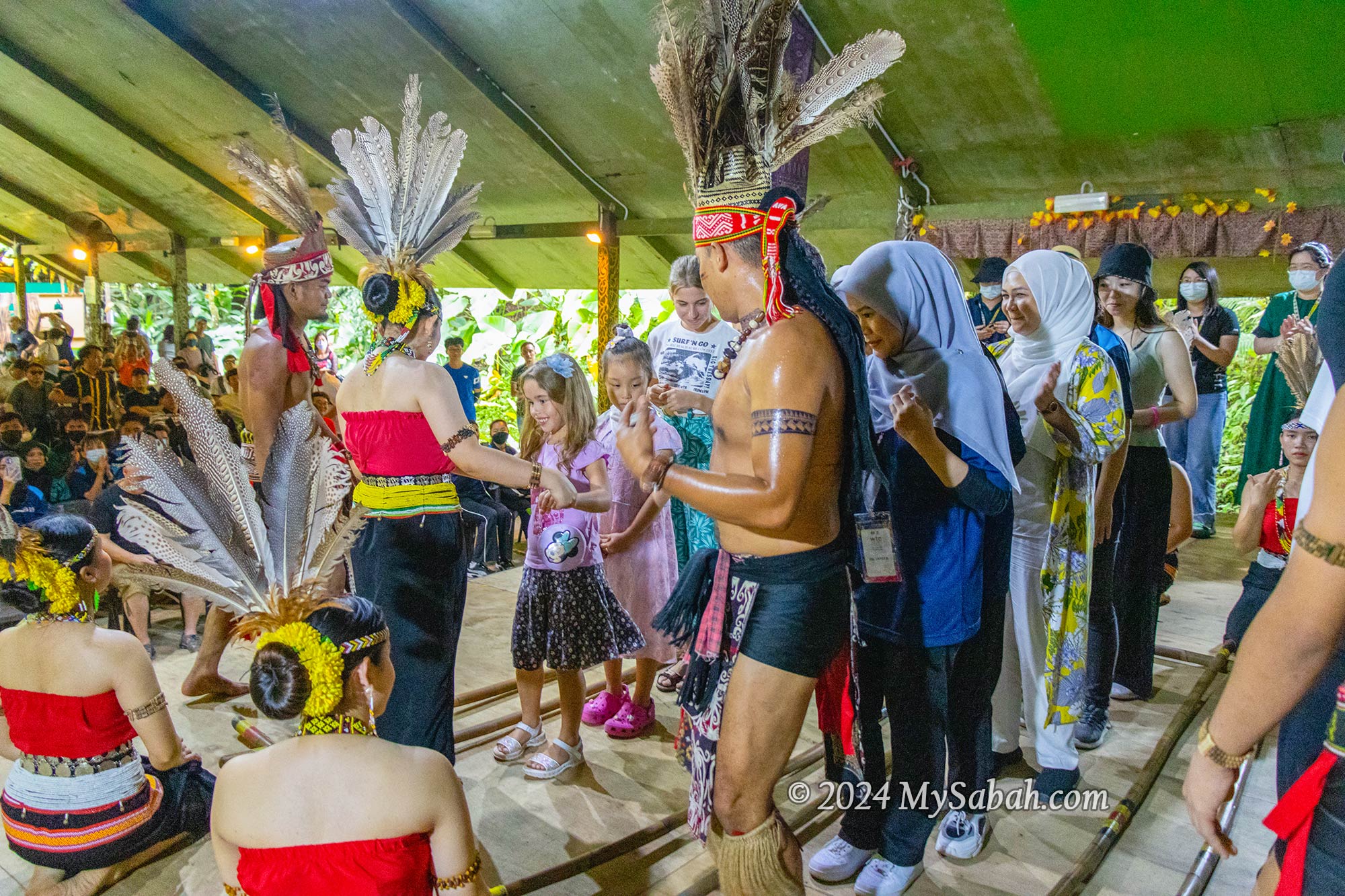
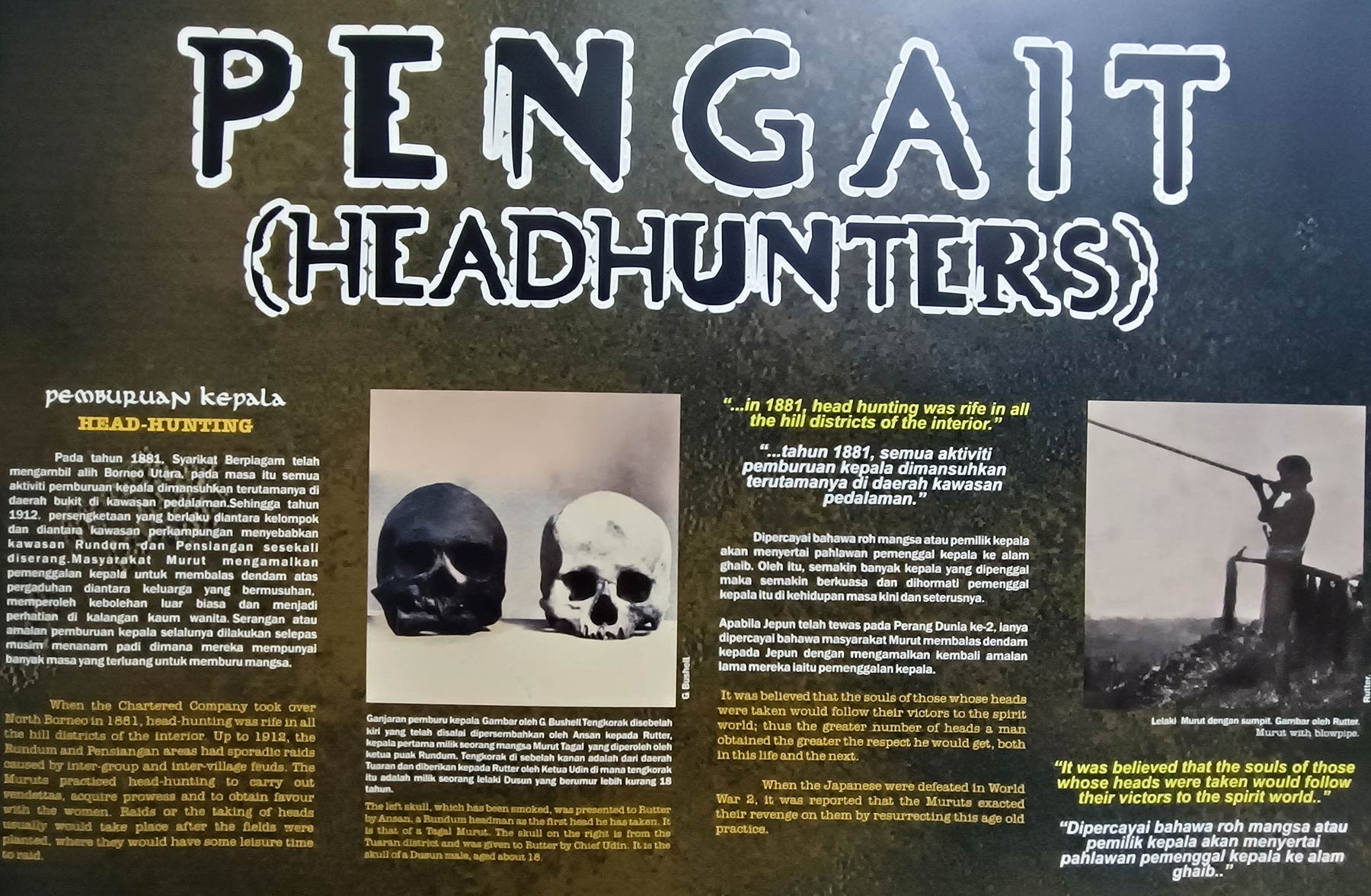
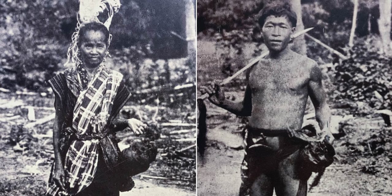
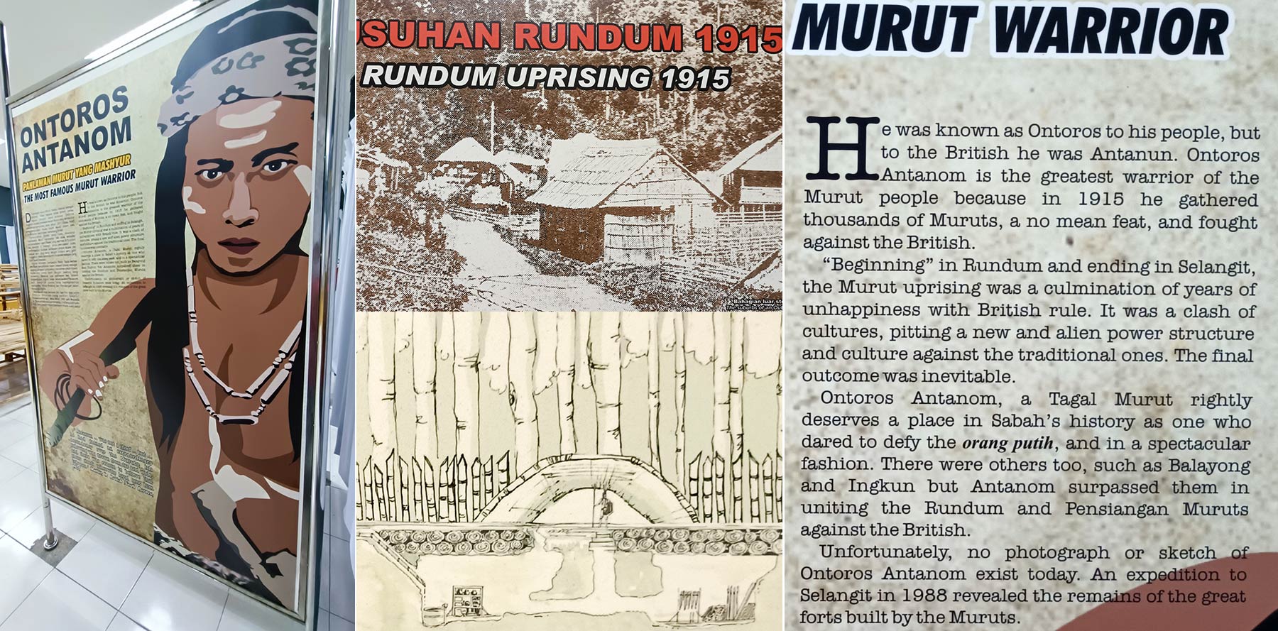
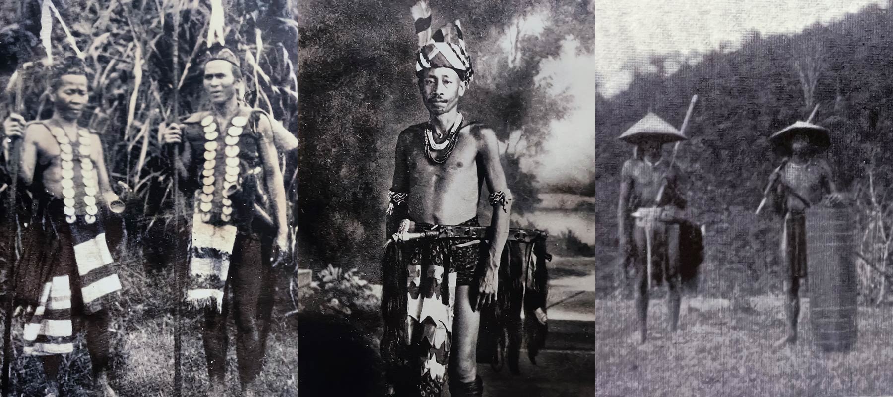
In just half a day, visitors can get a glimpse of the traditional lifestyle of our natives. Moving from one traditional house to another, you can sample some local food and drink of the Bajau, known as the Cowboys of the East, see how the vest of a Murut warrior is made from tree bark, play traditional games, observe the skill of starting a fire and hunting with a blowpipe, and participate in a bamboo dance. Read more…
Others / Special Interest
No matter what your interests may be, Sabah offers something special for everyone. Here are a few more recommended attractions tailored to suit various visitor preferences.
- Islands: see Top 10 islands of Sabah
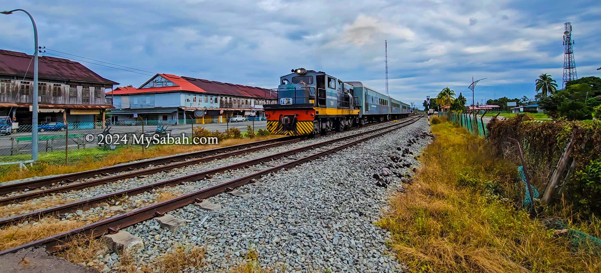
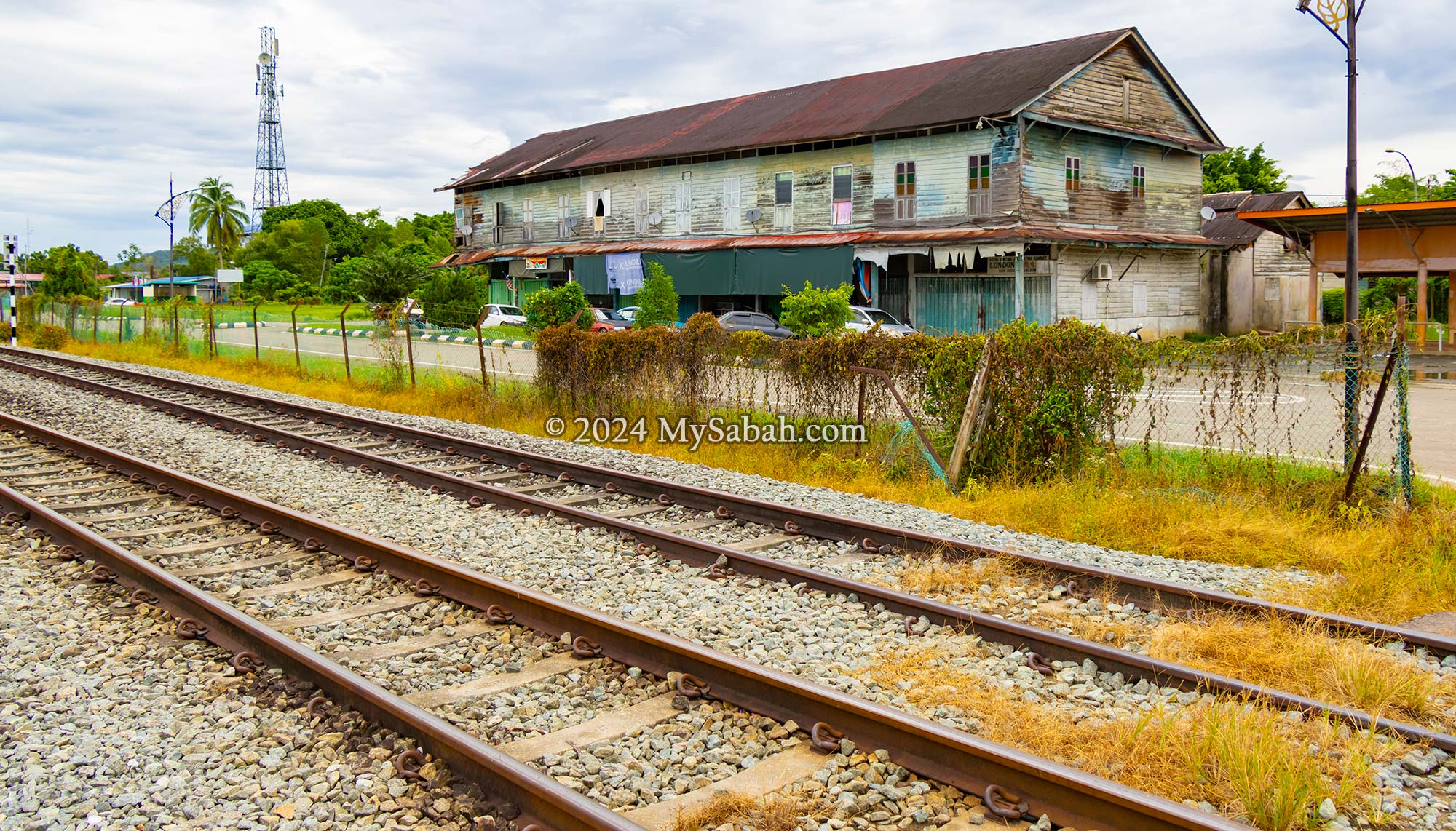
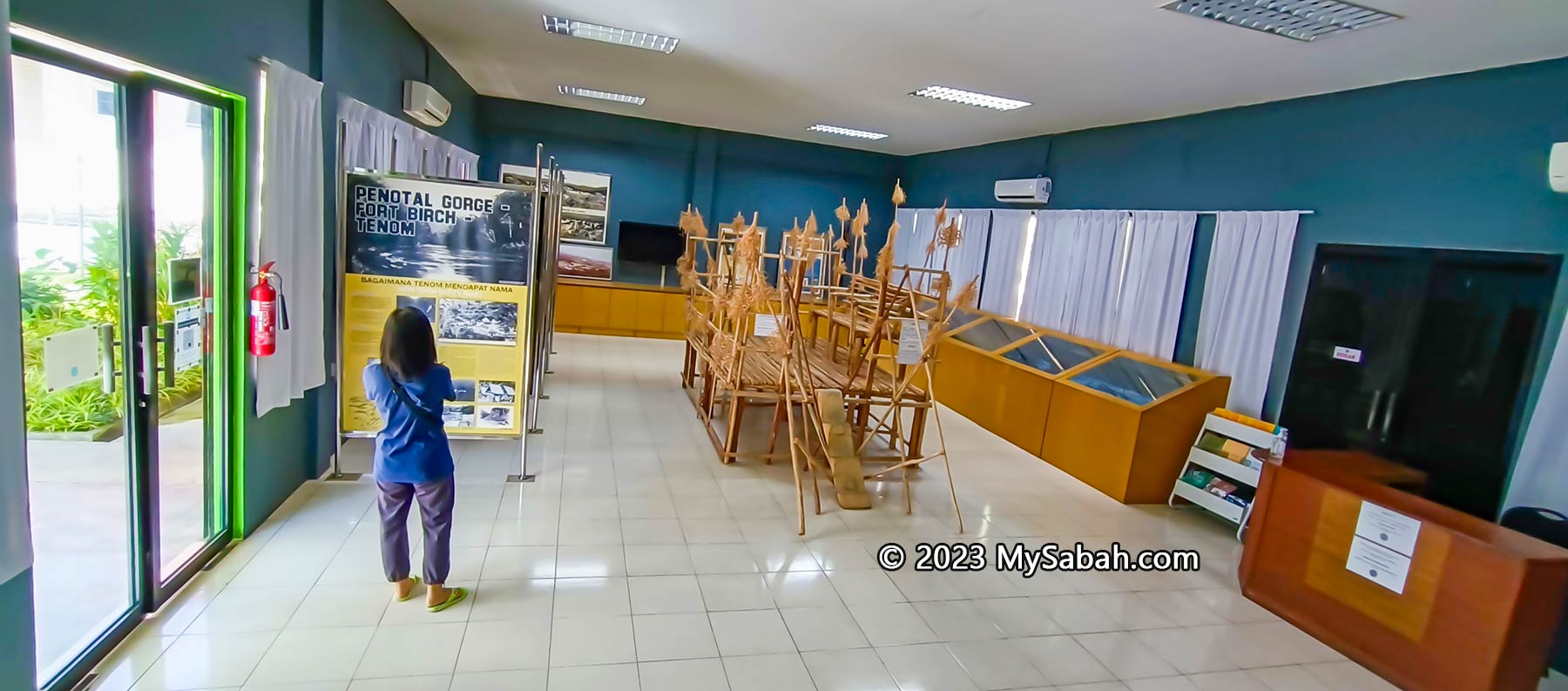
- Family: Manukan Island, DESA Dairy Farm, North Borneo Railway, Sabah Tea Garden, Teck Guan Cocoa Village, Gaya Street Sunday Market, Sunset Cruise, Upside Down House, Poring Hot Springs
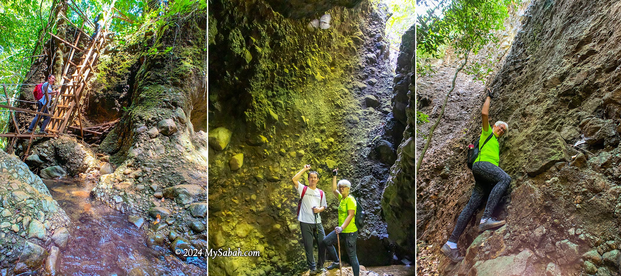
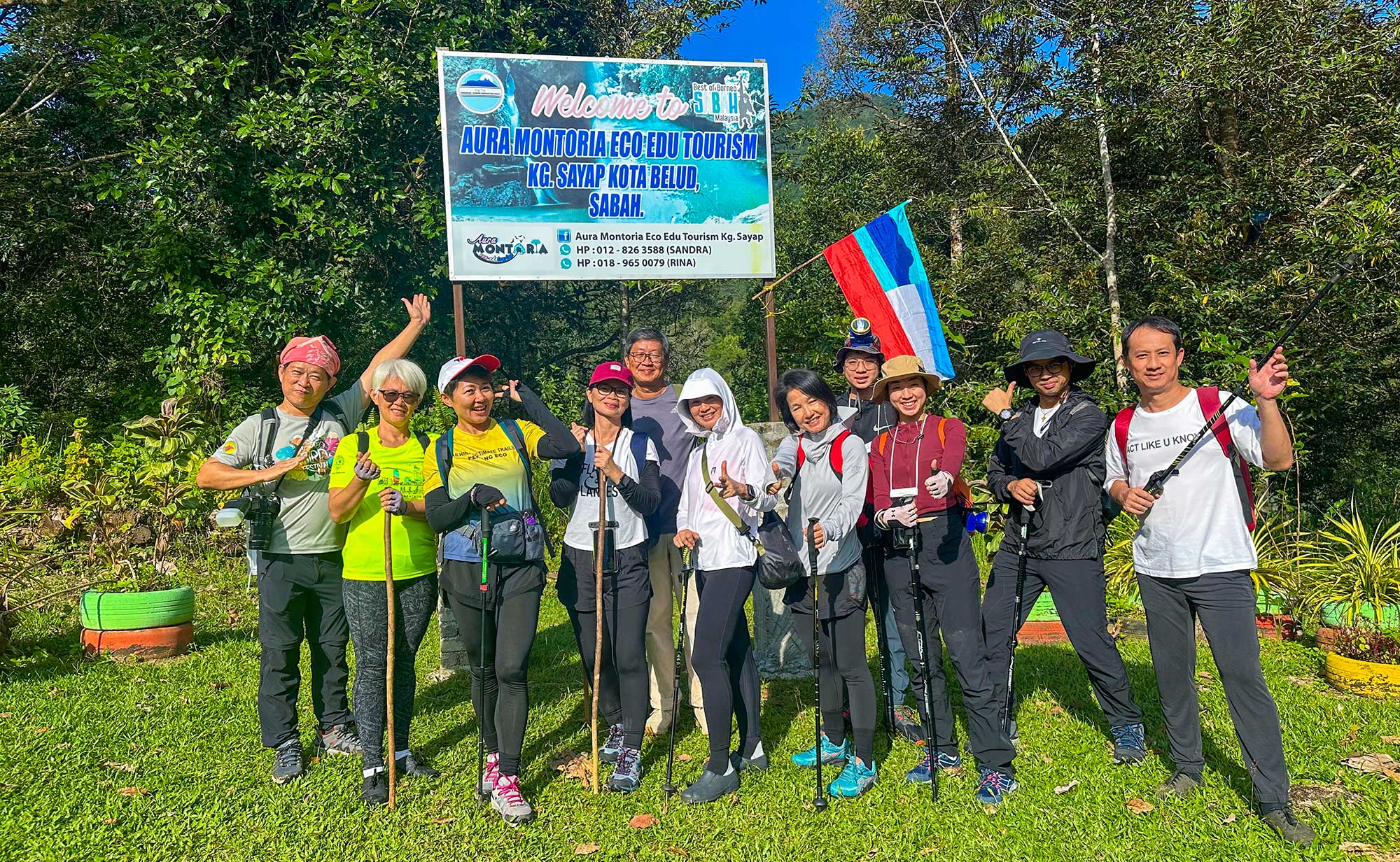
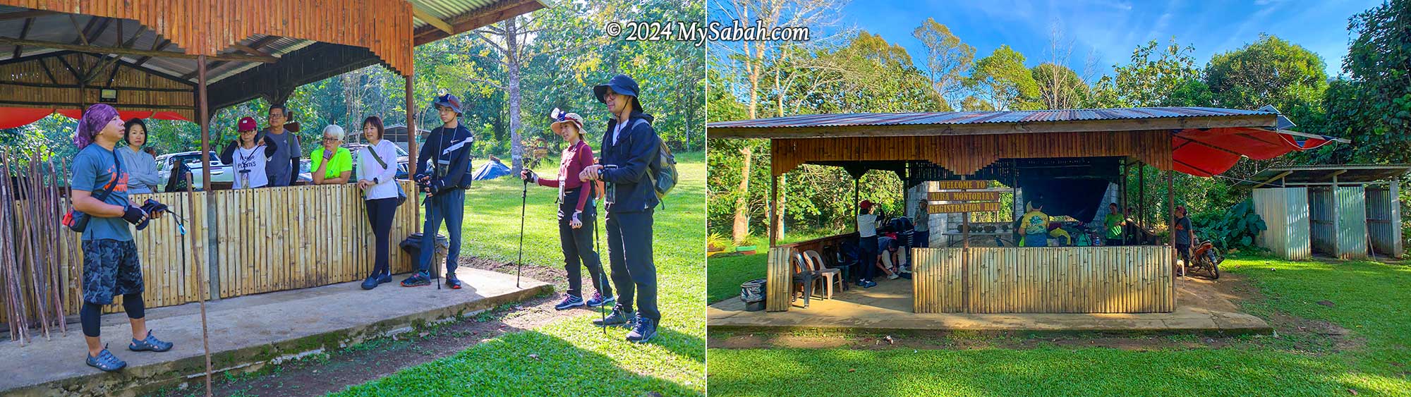
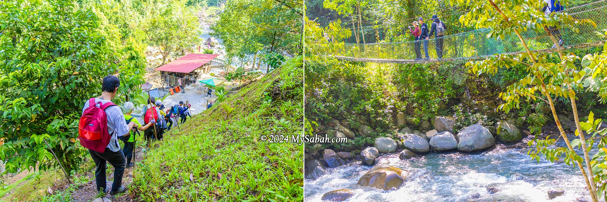
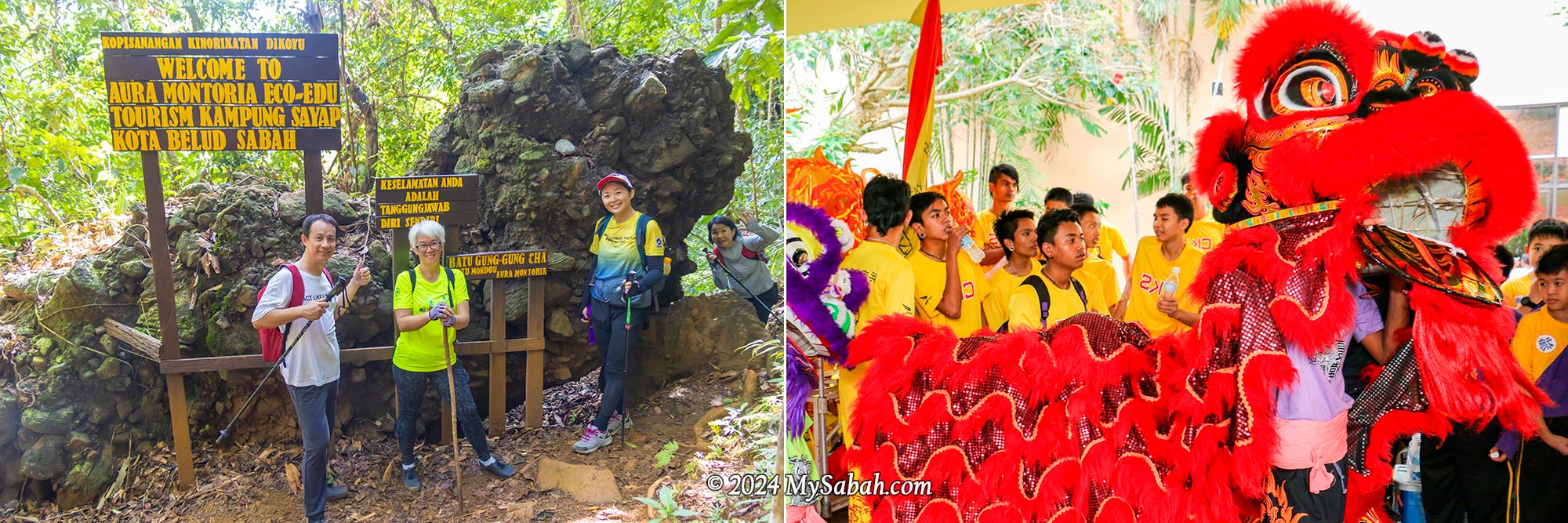
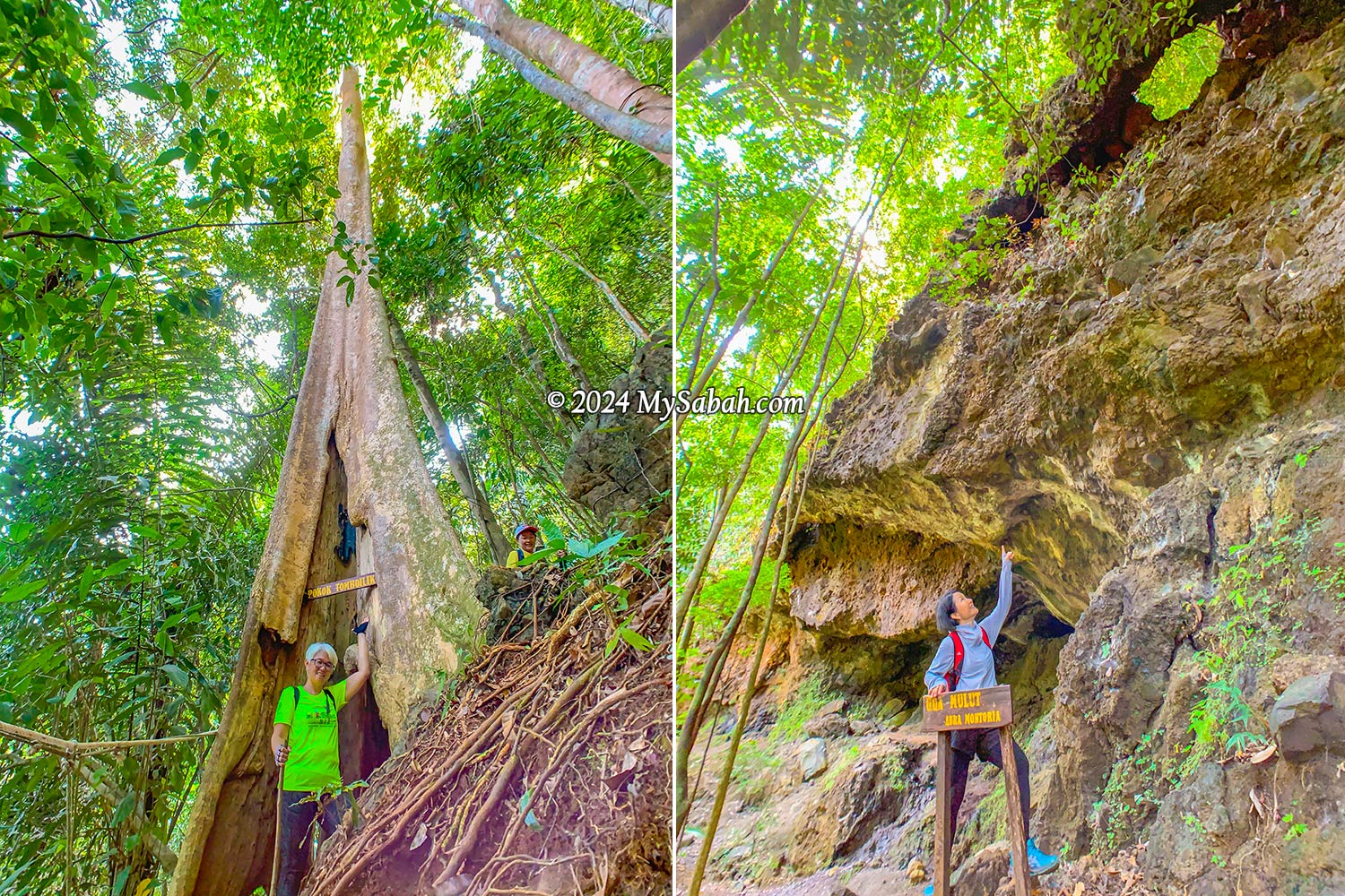
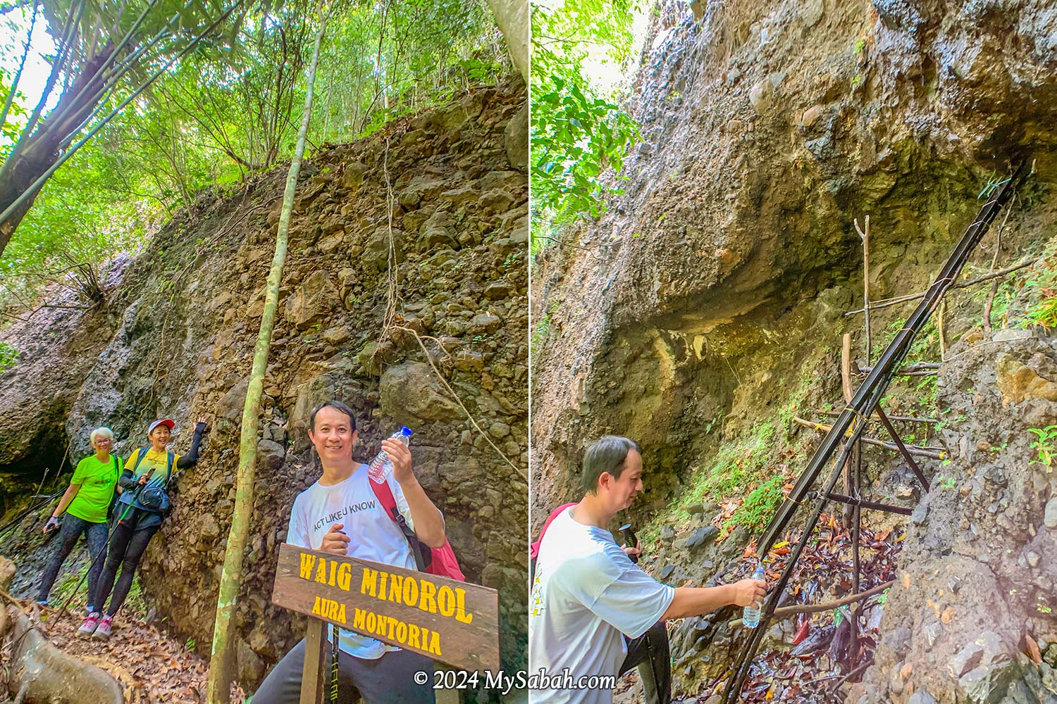
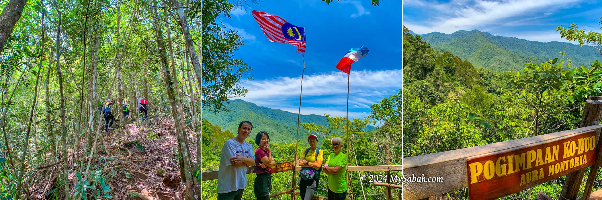
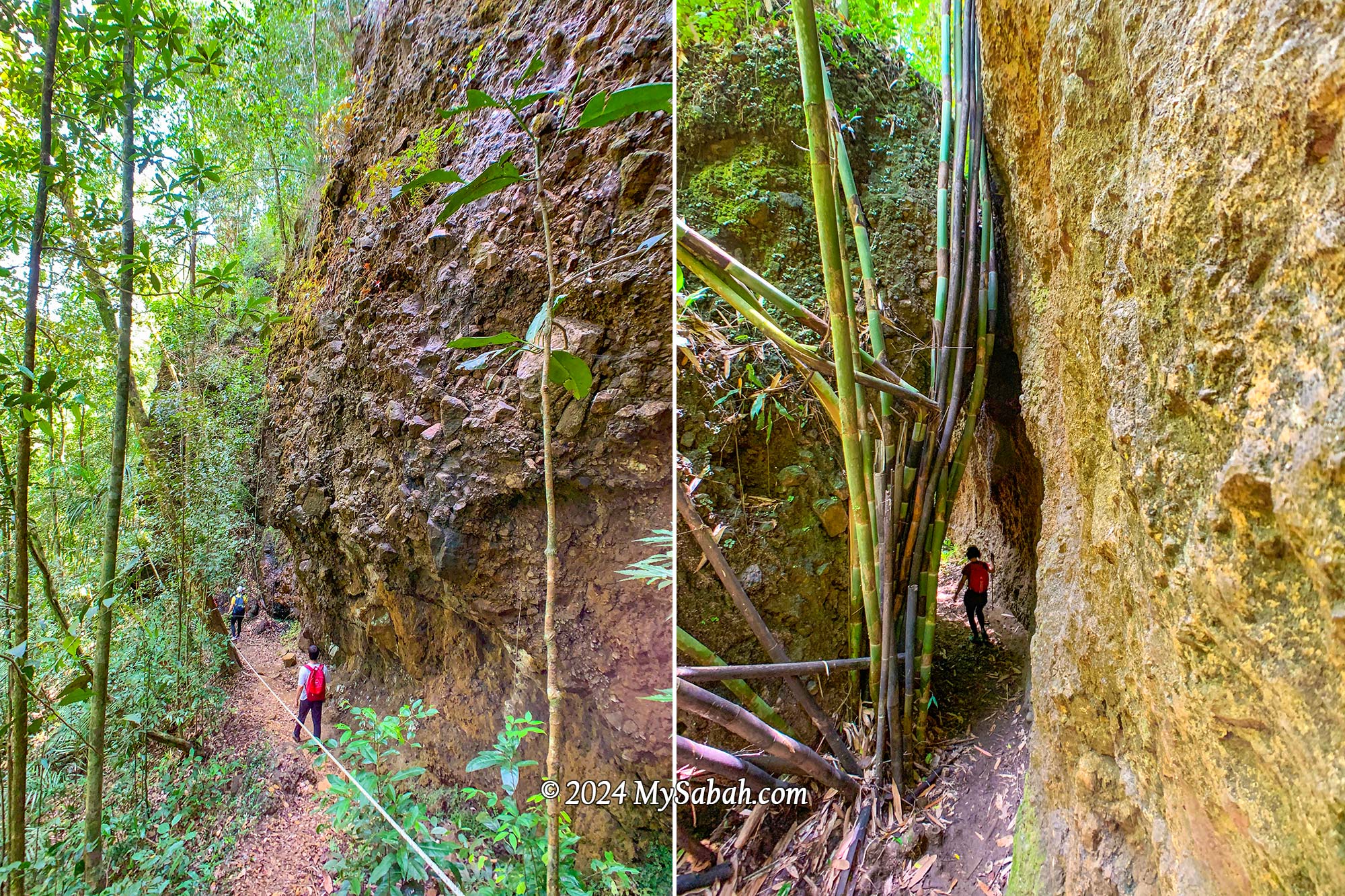
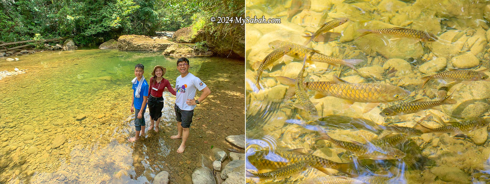
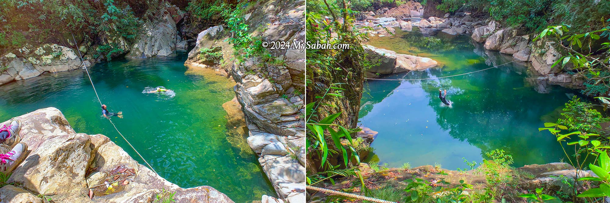
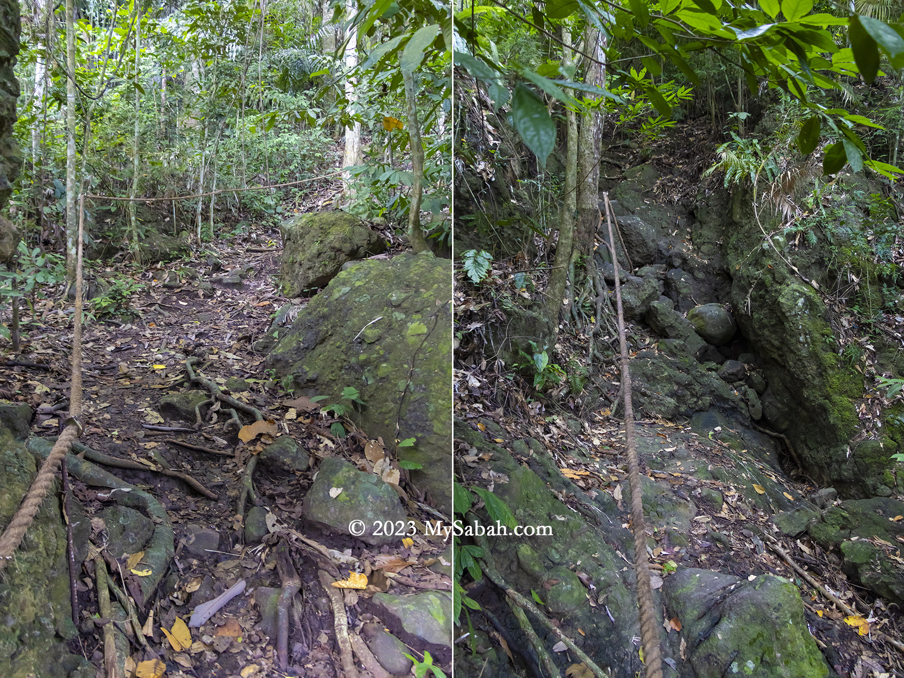
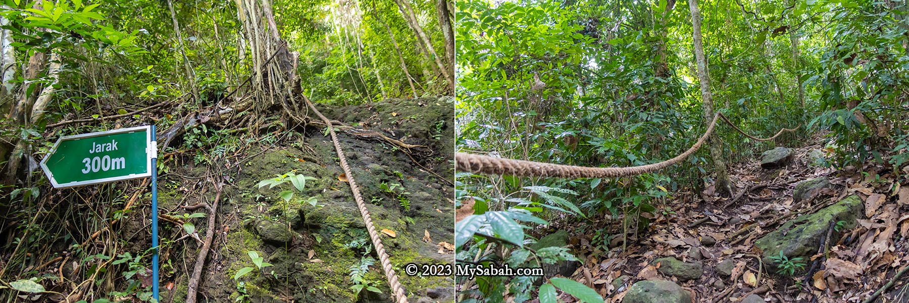
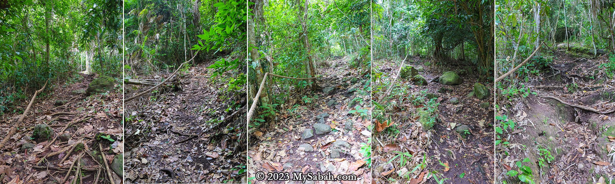
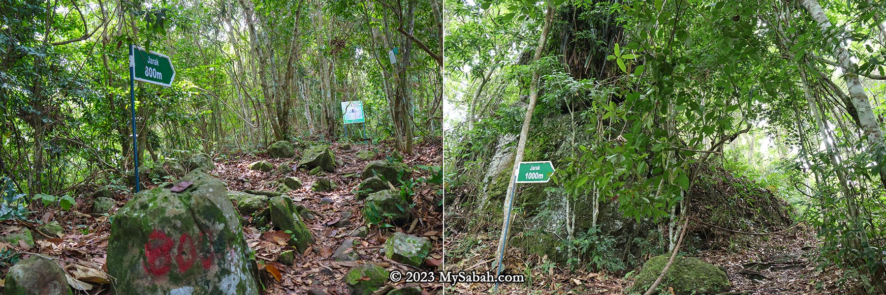
- Hiking: Kinabalu Park, Tawai Waterfall, Aura Montoria, Maliau Basin, Mount Wullersdorf, Long Pasia, Kiulu Rainforest Park, Rainforest Discovery Centre, Sepilok Laut, Bukit Botak, Tawau Hills Park, Poring Hot Springs
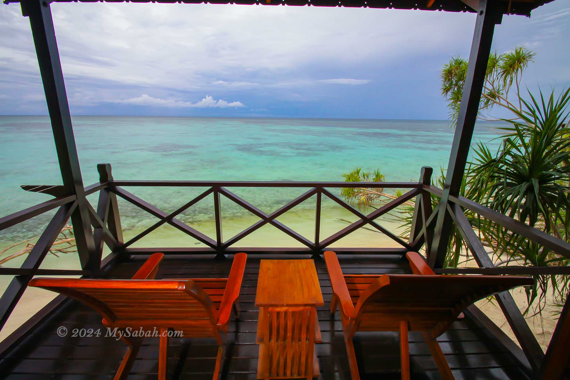
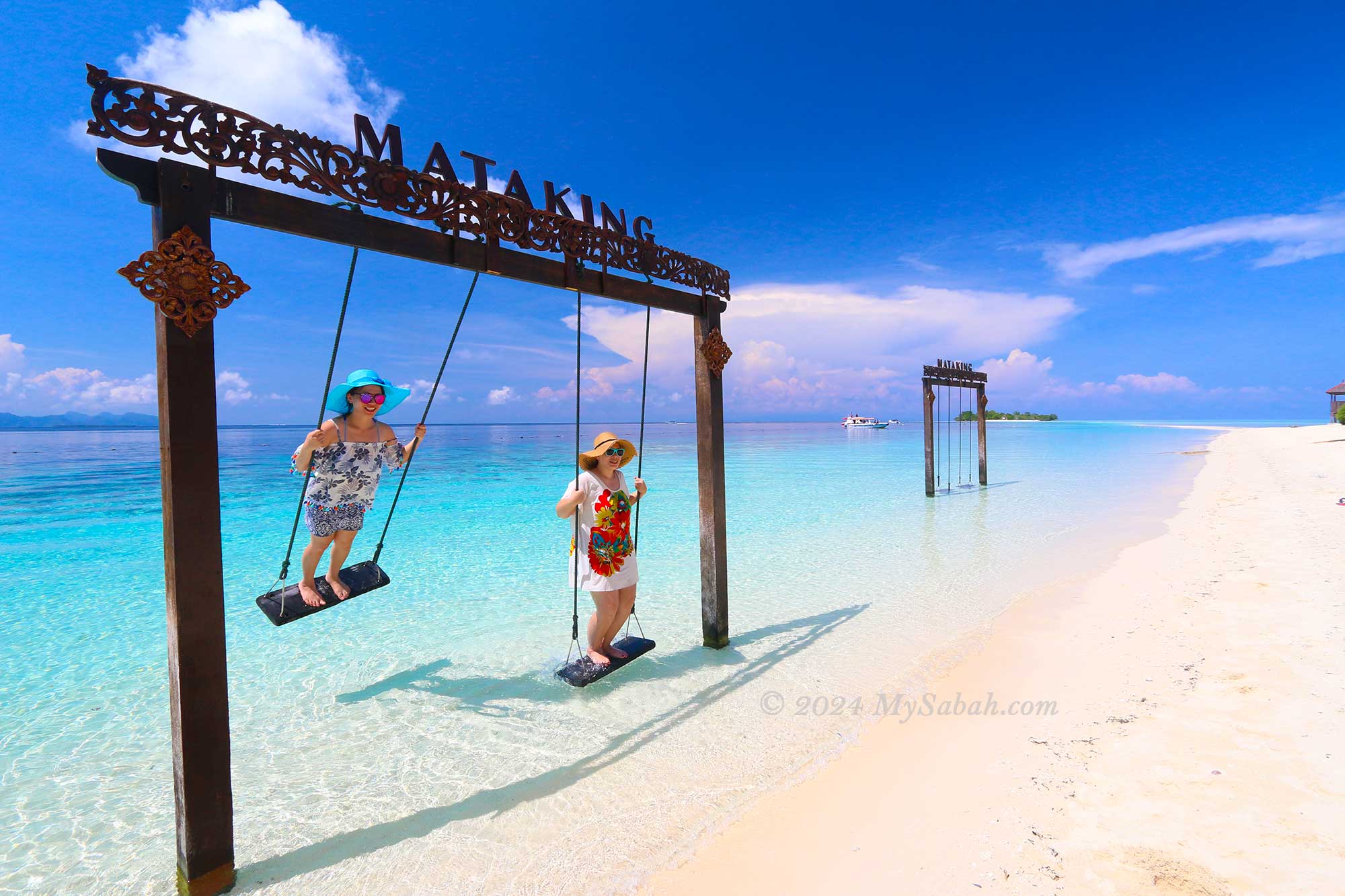
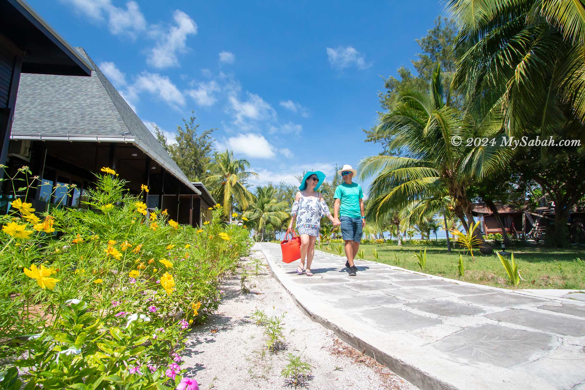
- Honeymoon: Mataking Island, Kapalai Island, Lankayan Island, Gaya Island Resort, Mabul Water Bungalow
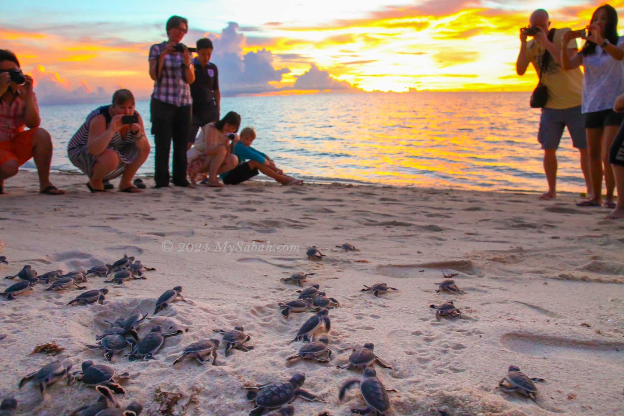
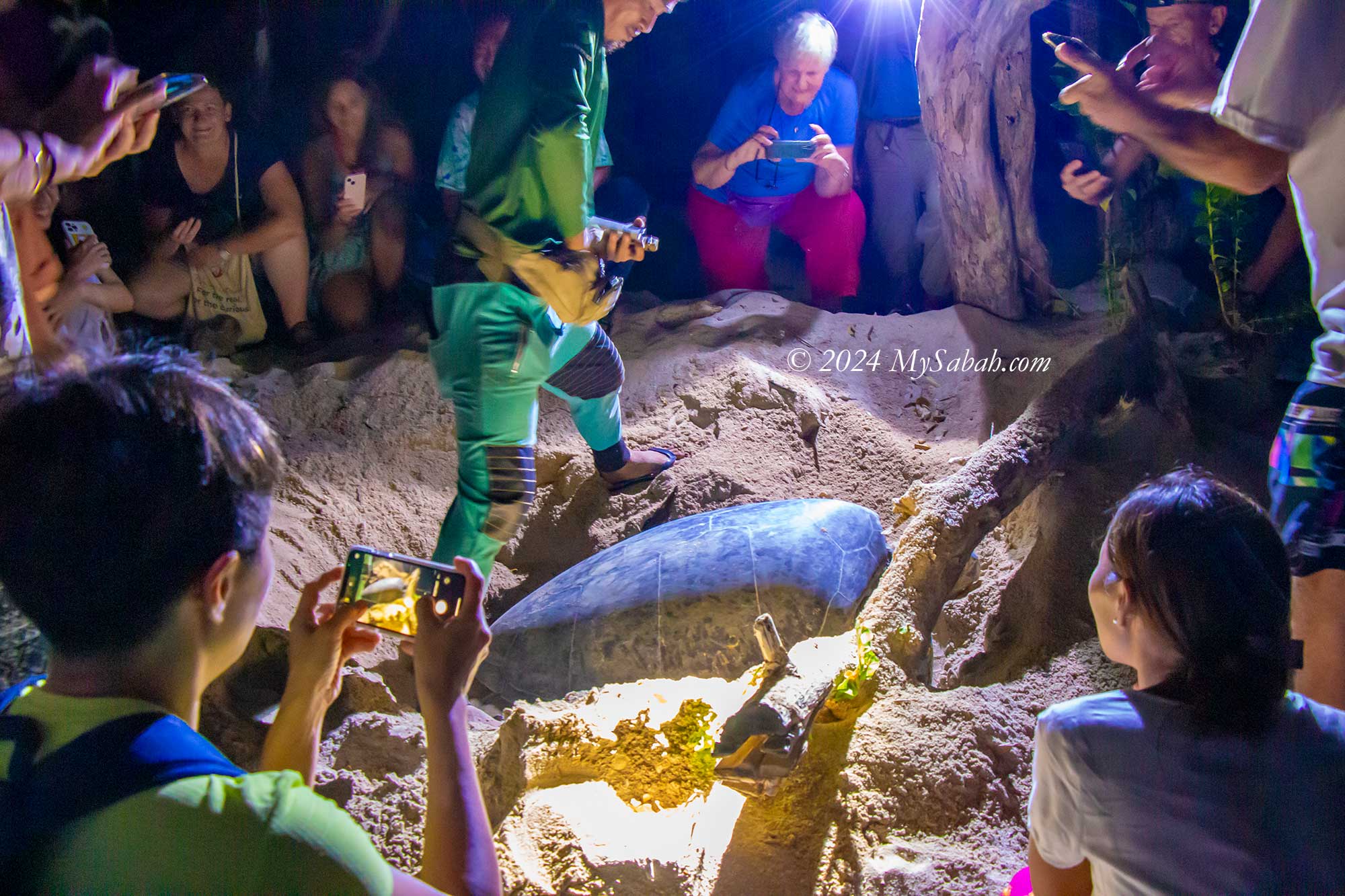
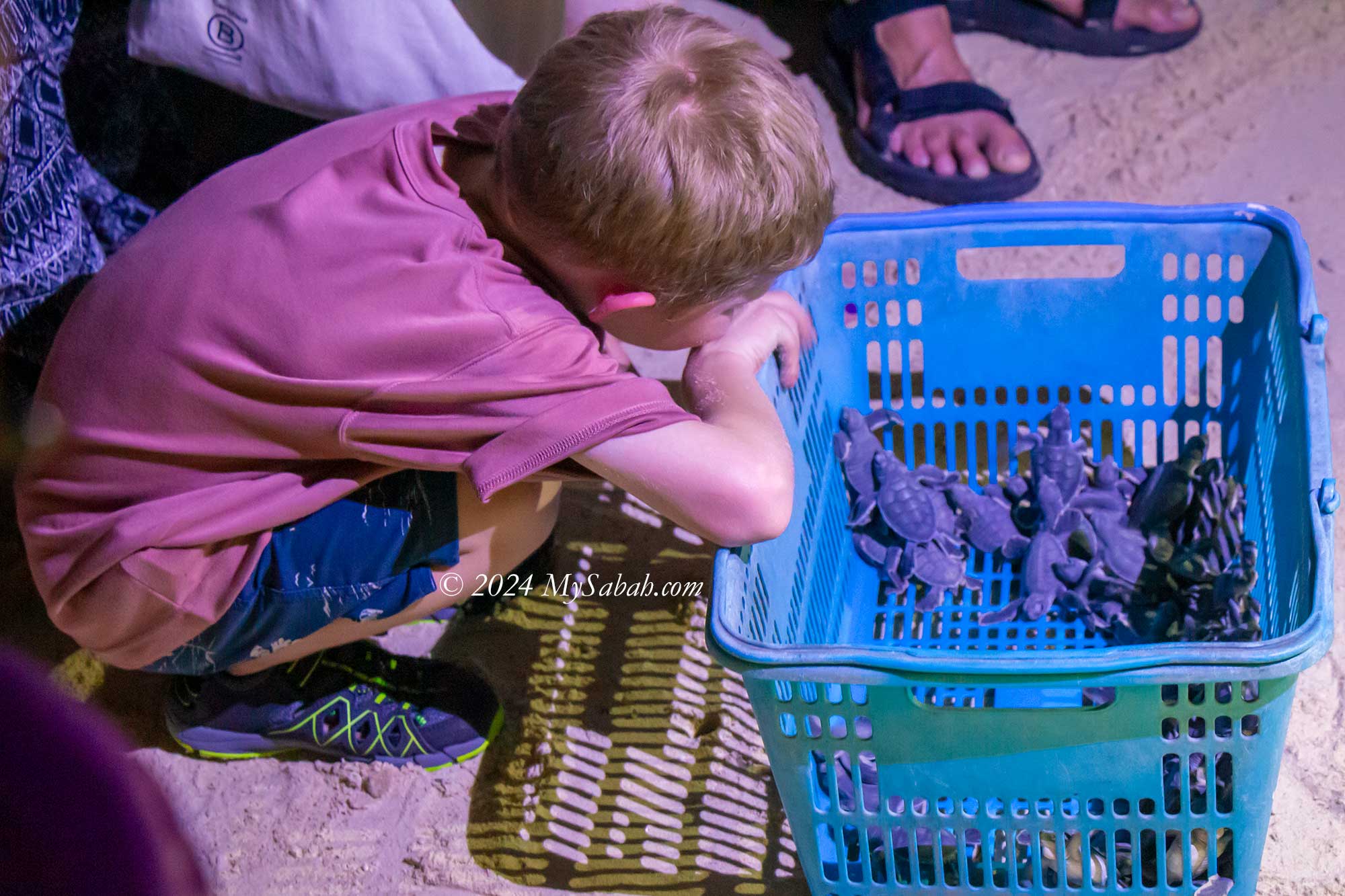
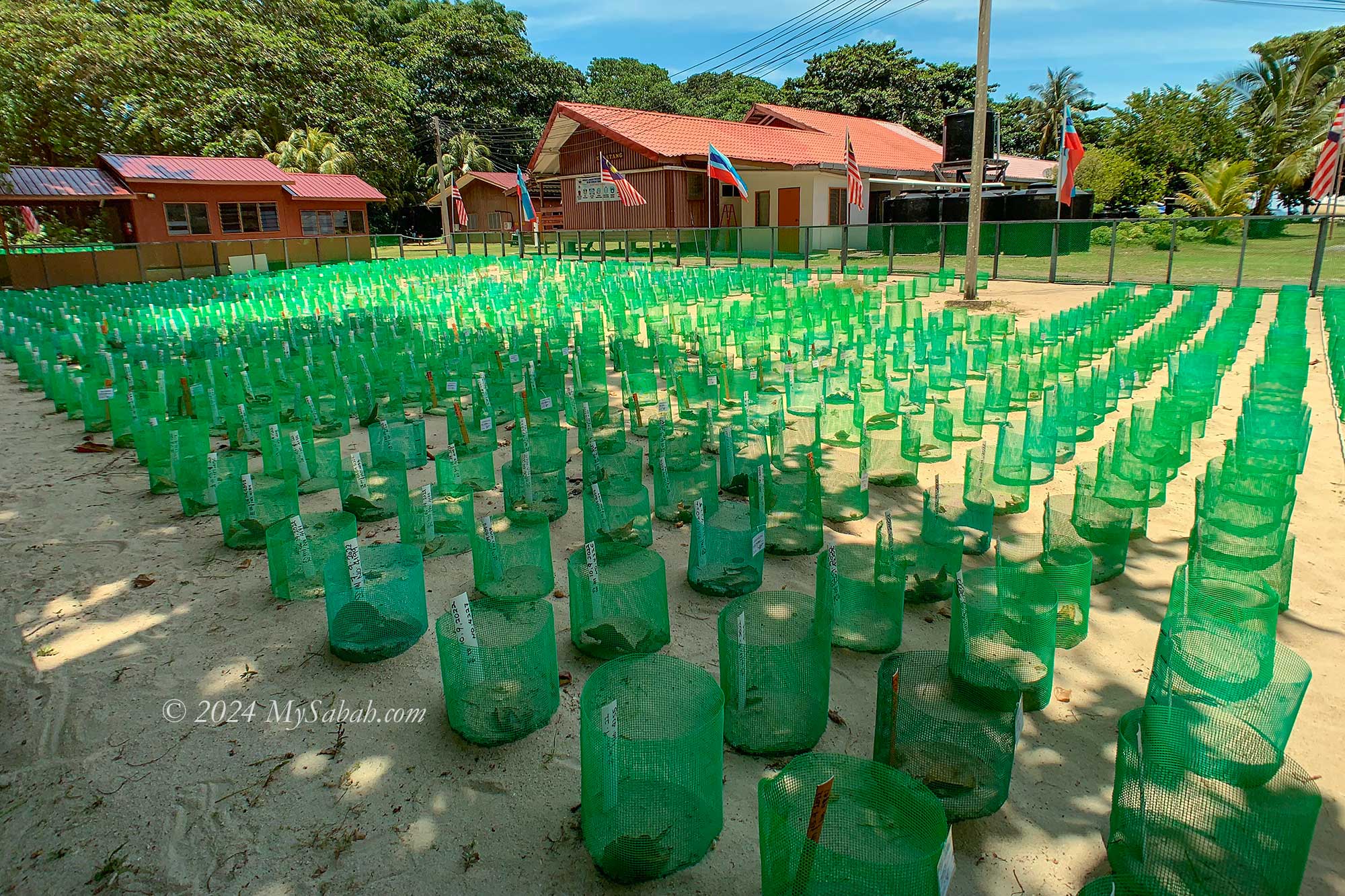
- Wildlife: Sepilok Orangutan Rehabilitation Center, Bornean Sunbear Conservation Centre, Kinabatangan River, Klias Wetland, Selingan Turtle Island, Danum Valley, Tabin Wildlife Reserve, Lok Kawi Wildlife Park
- Birdwatching: Kinabalu Park, Rainforest Discovery Centre, Danum Valley, Tabin Wildlife Reserve, Crocker Range Park, Kinabatangan River, Poring Hot Springs, Borneo Jungle Girl Camp
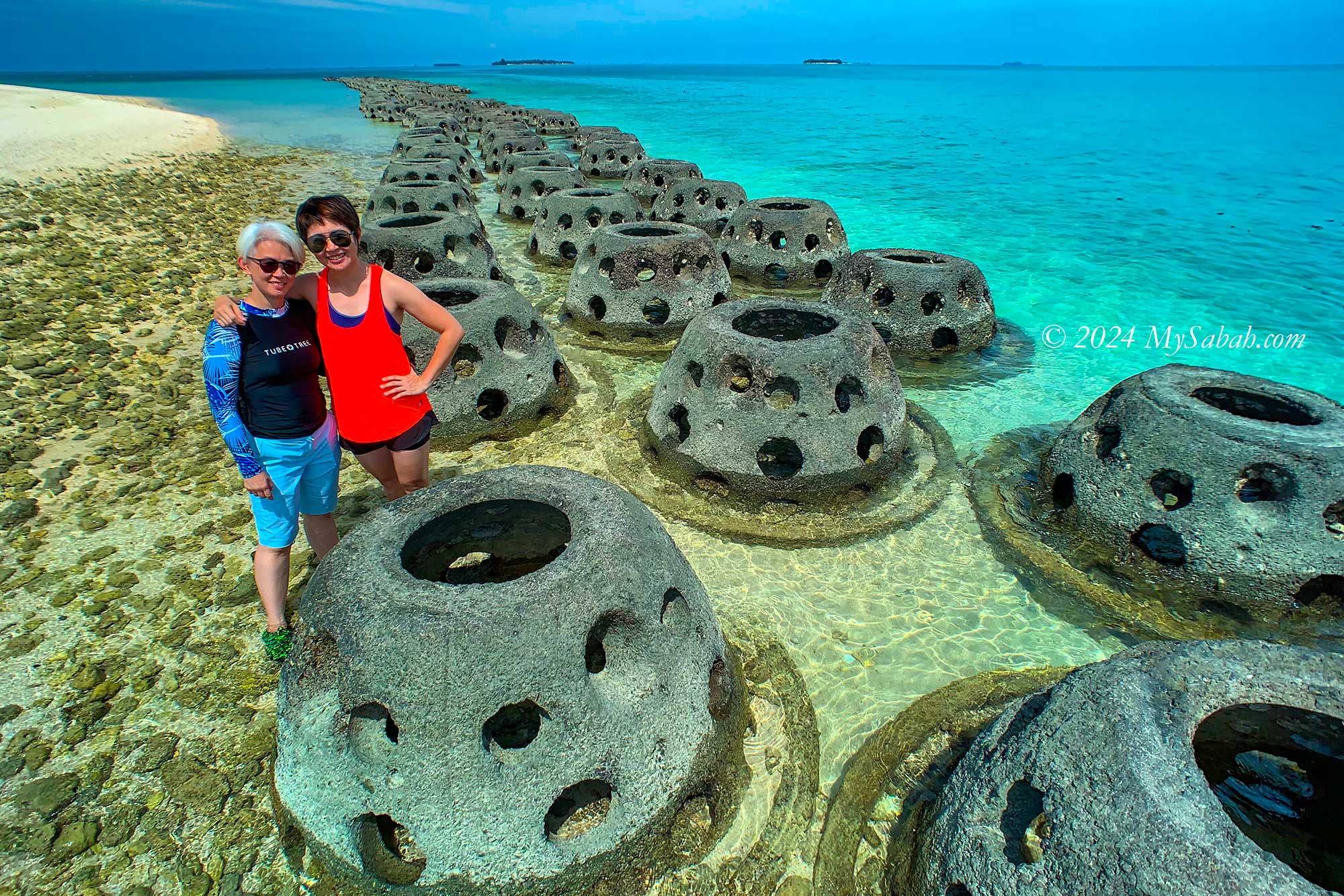
- Scuba Diving: Sipadan Island, Mabul, Kapalai Island, Blue Holes, Tunku Abdul Rahman Park, Layang-Layang Island
- Adventures: Padas River White Water Rafting, Long Pasia, Maliau Basin, Via Ferrata, Miki Survival Camp, Paragliding, Pulau Tiga, Boat ride to Kalimantan, Imbak Canyon
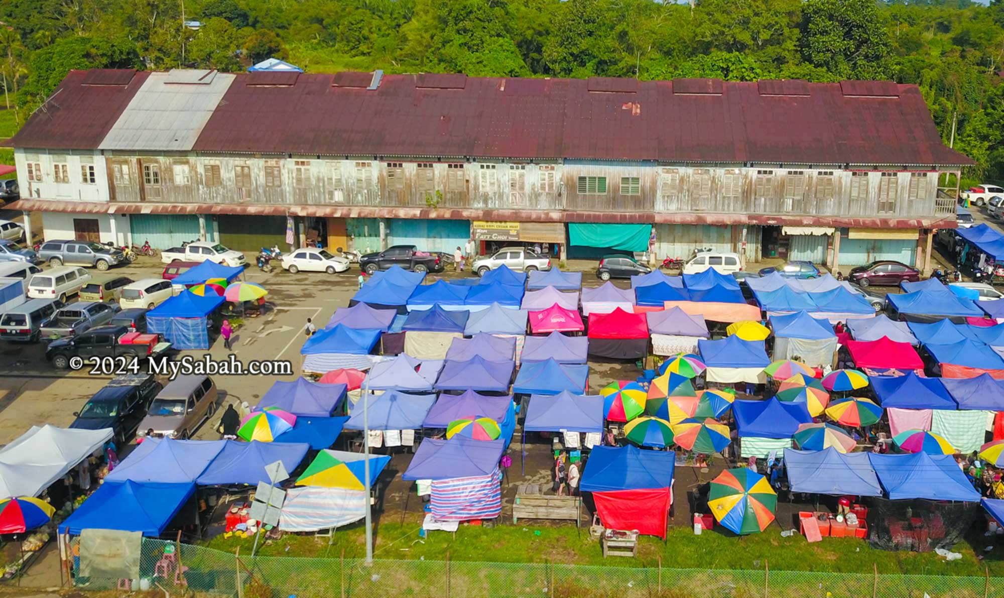
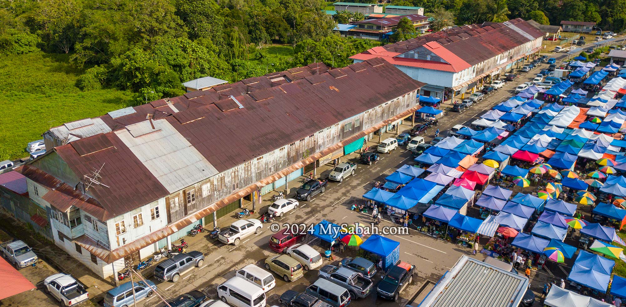
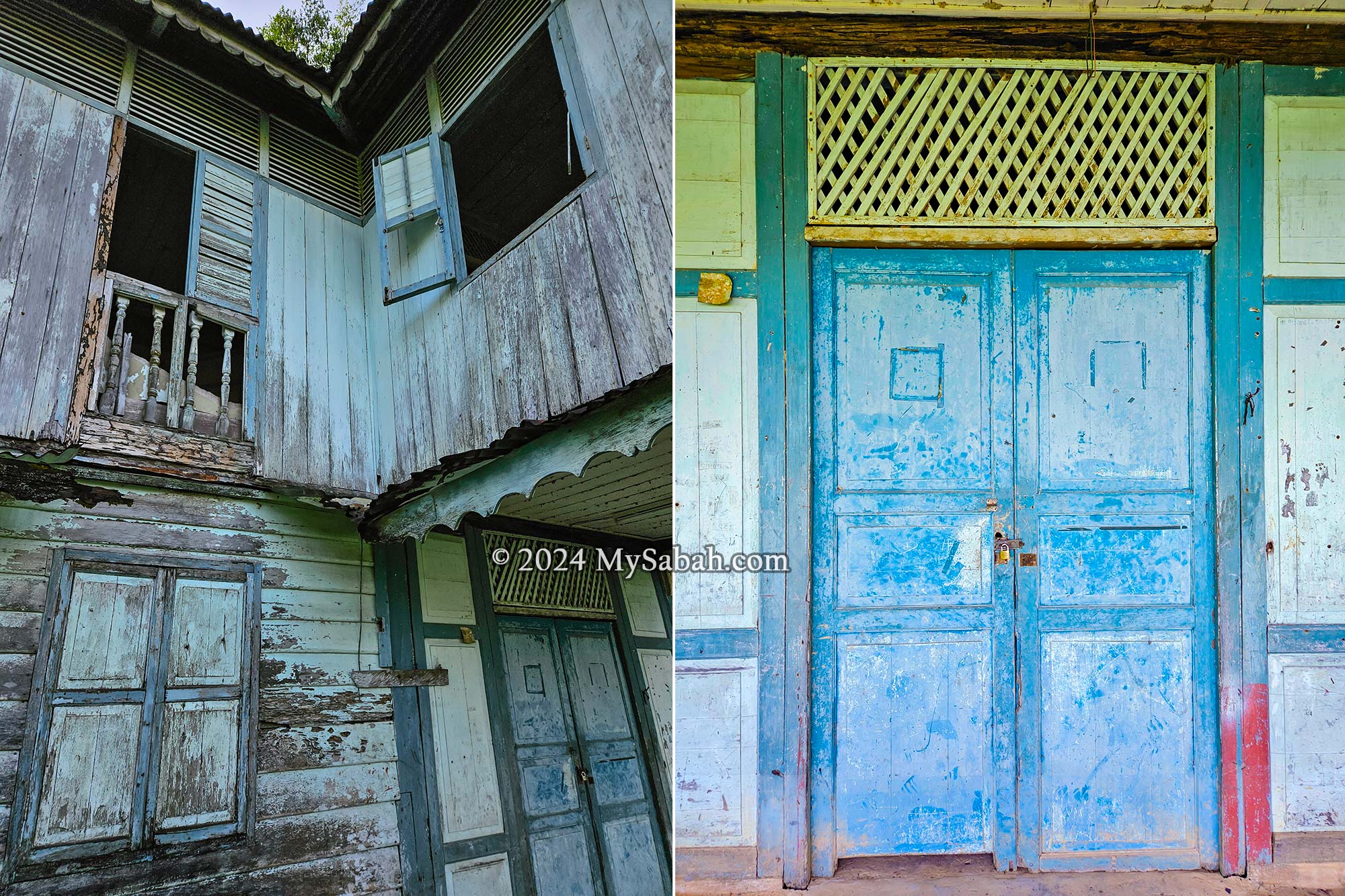
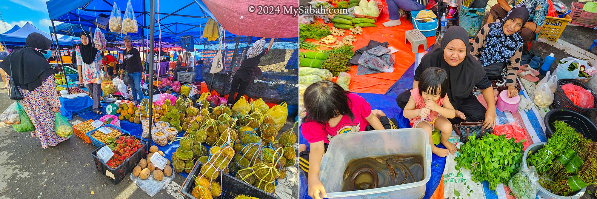
- Culture: Tamu Market, Mari-Mari Cultural Village, Kaamatan Festival (May), Regatta Lepa, Kota Belud Tamu Besar, Bajau Sama Cultural Centre, Kalimaran Festival
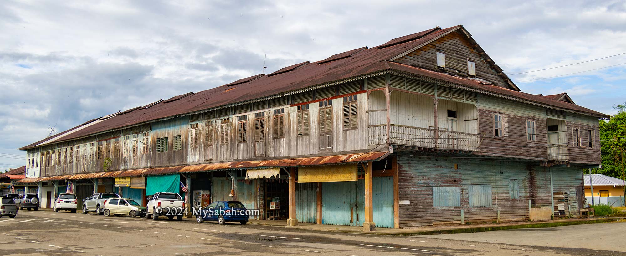
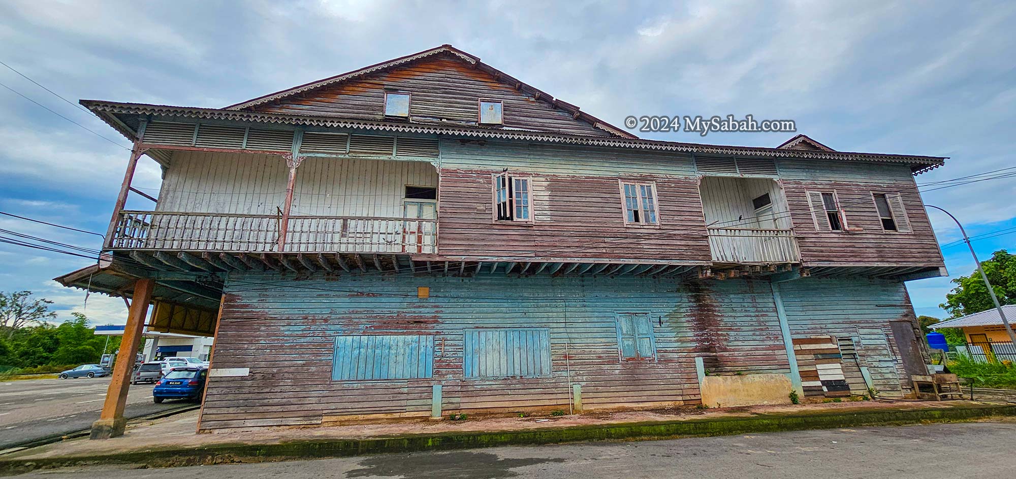
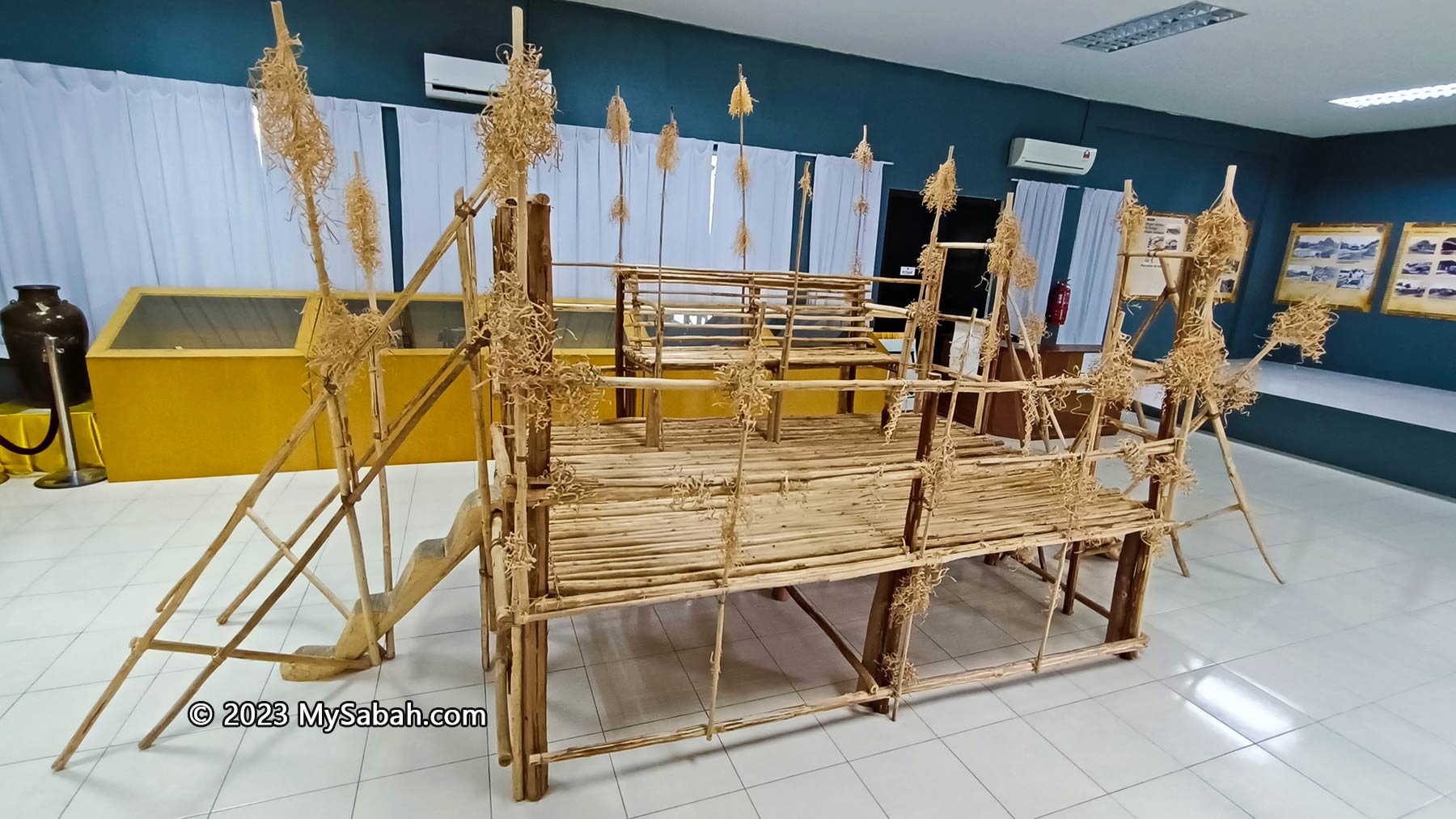
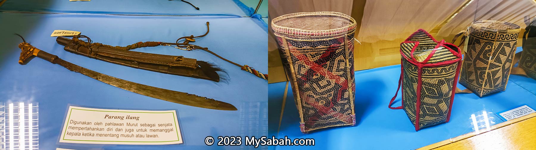
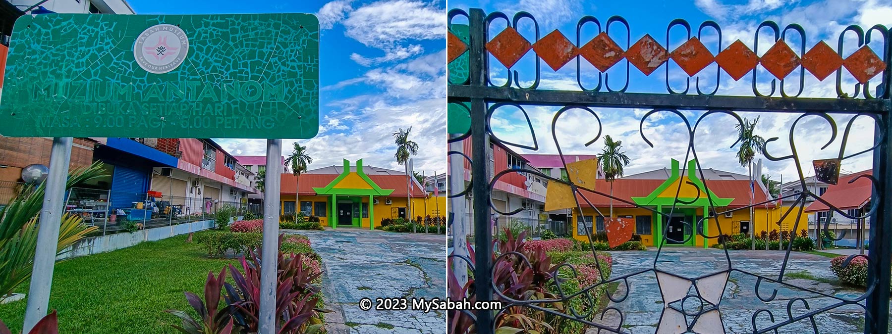
- History: Sabah Museum, Pogunon Museum, KK City Tour, Sandakan Heritage Walk, Kundasang War Memorial, Sandakan Memorial Park, Skull Hill (Bukit Tengkorak)
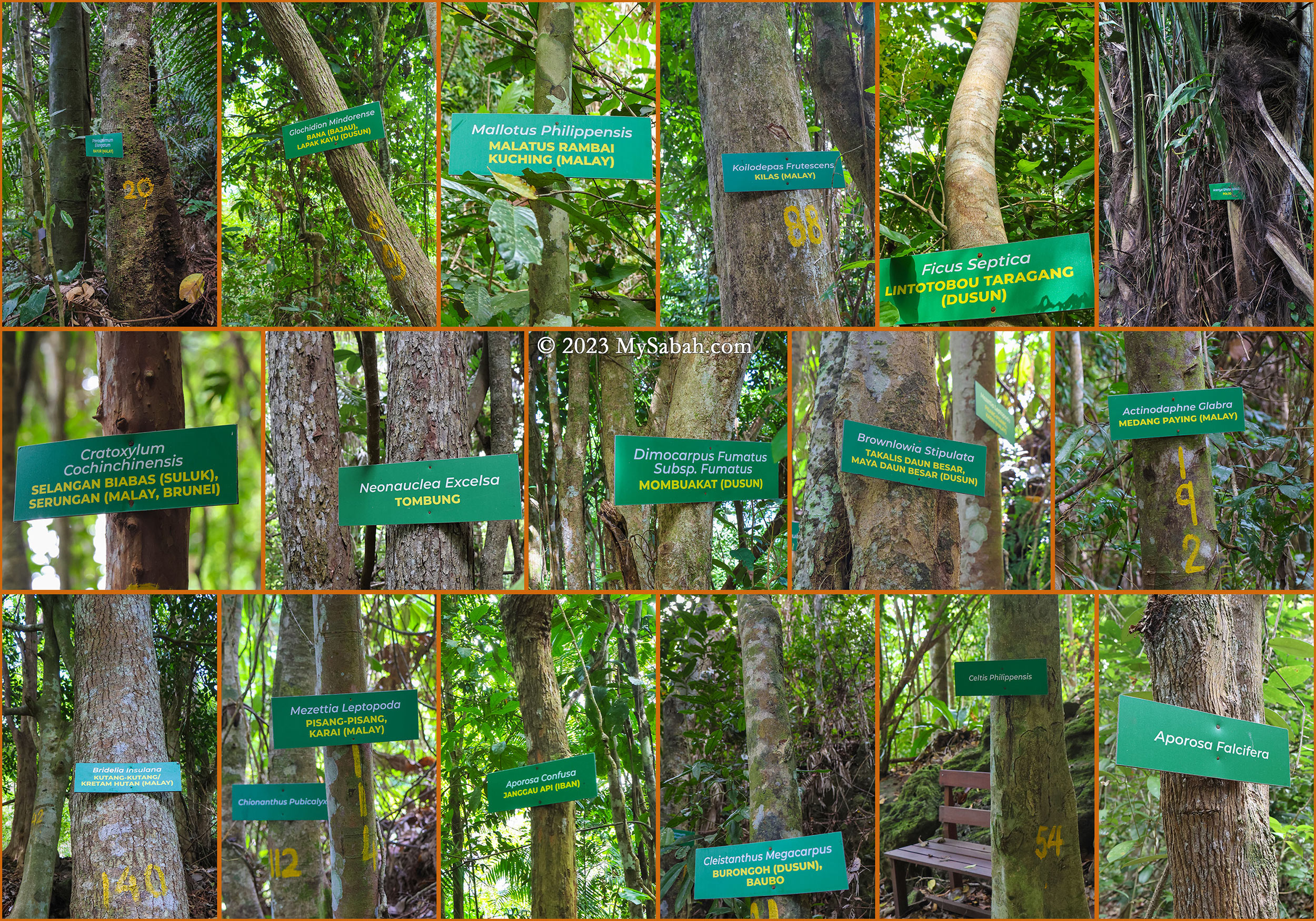
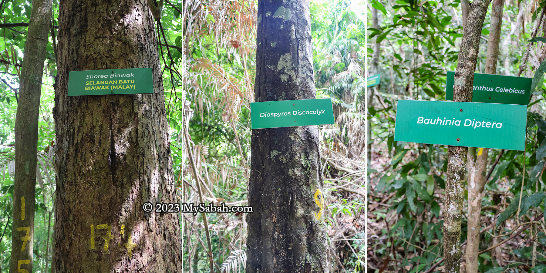
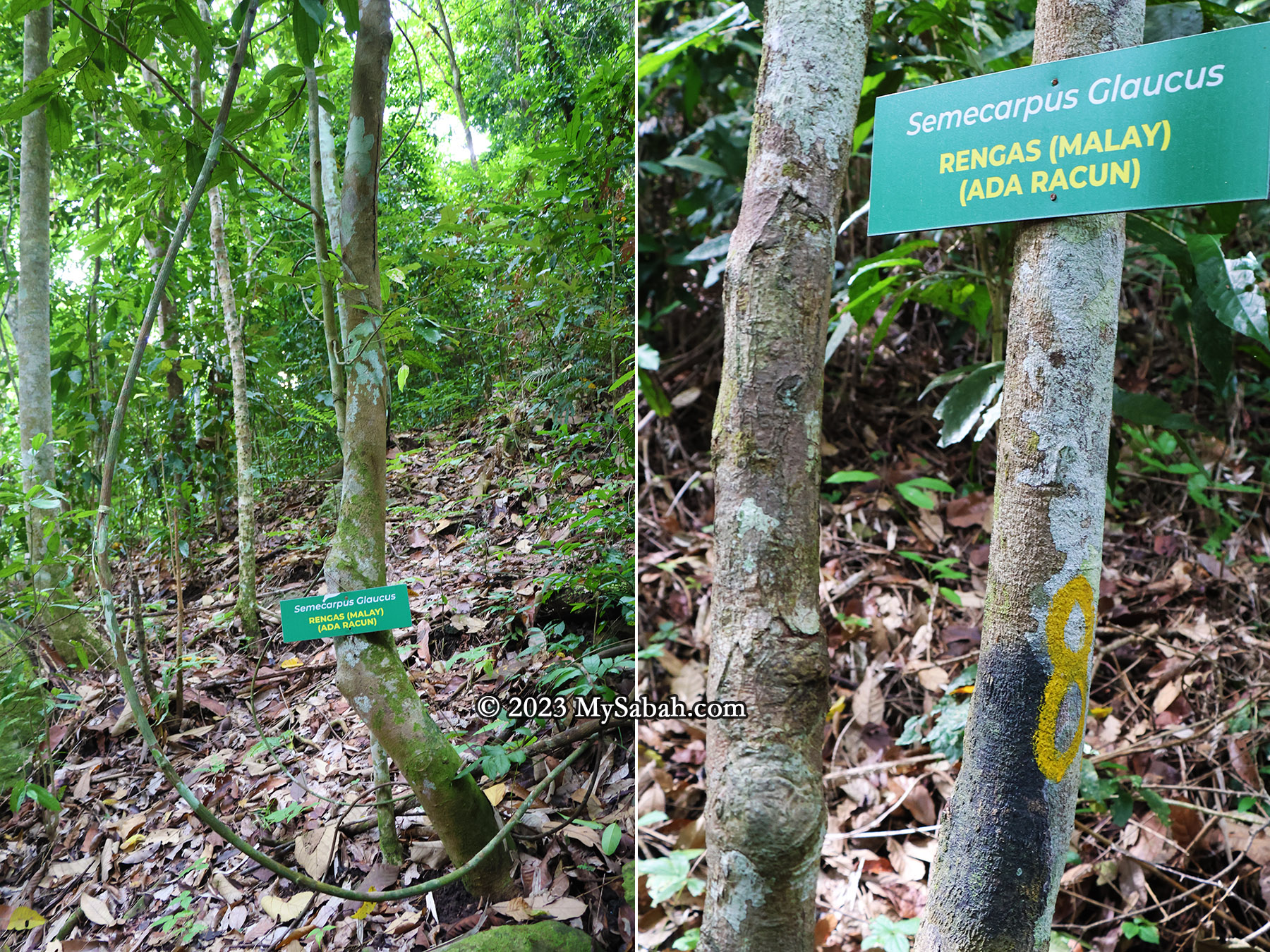
- Botanical Gardens: Sabah Agriculture Park, Mount Kinabalu Botanical Garden, Rafflesia Information Centre, Rainforest Discovery Centre
- Camping: Polumpung Melangkap View Camp Site, Tegudon Tourism Village, Hounon Ridge, Kokol MamaHill Campsite, Secret Place, Hawun Valley
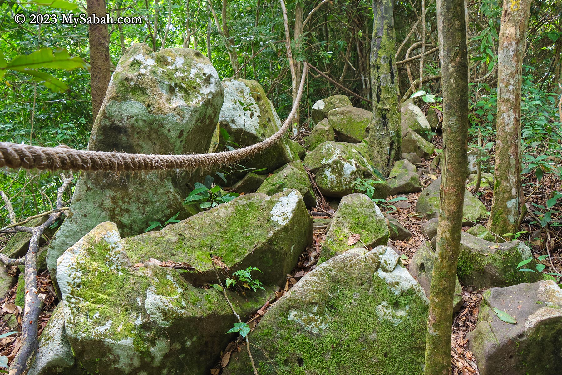
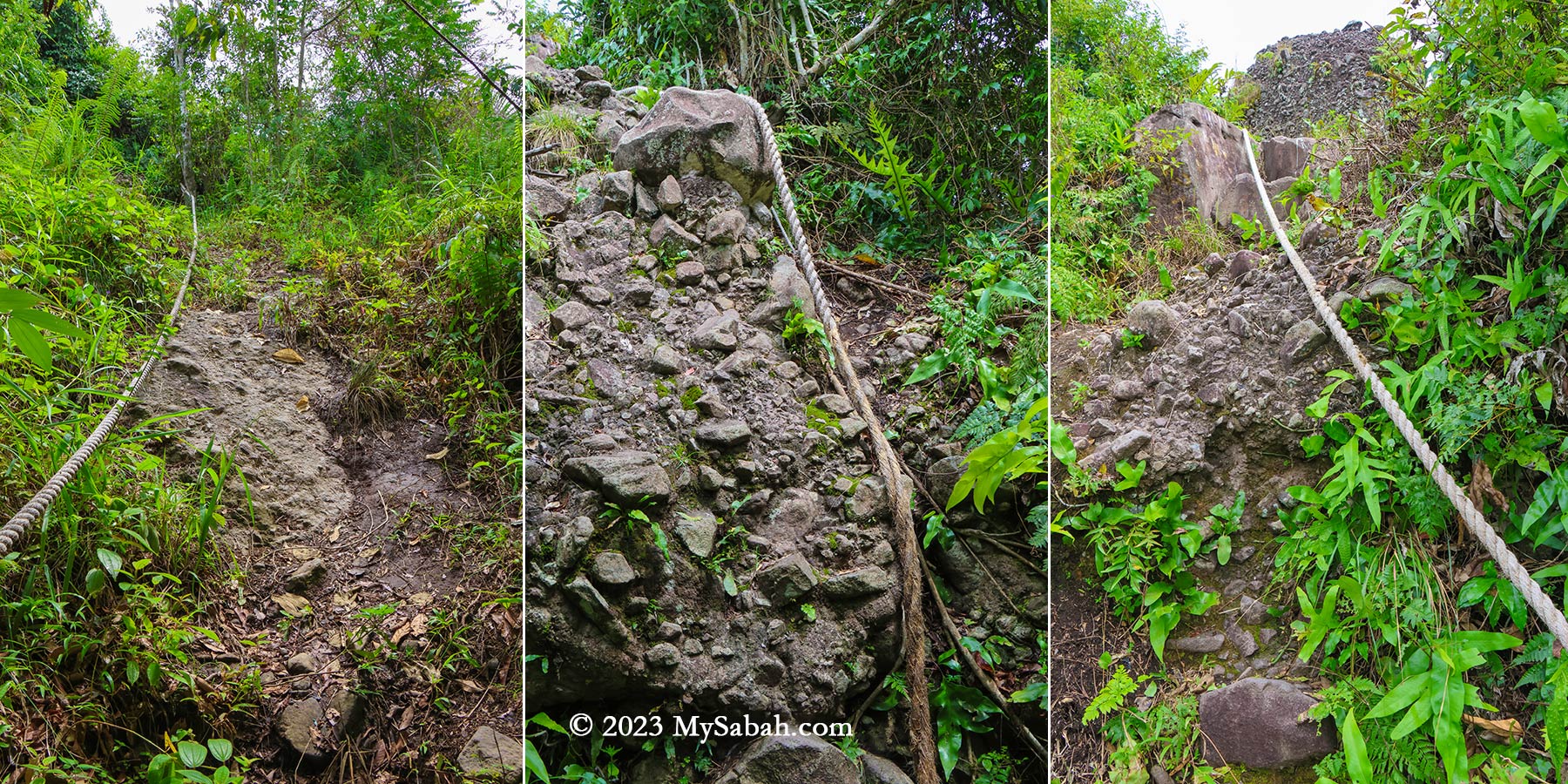
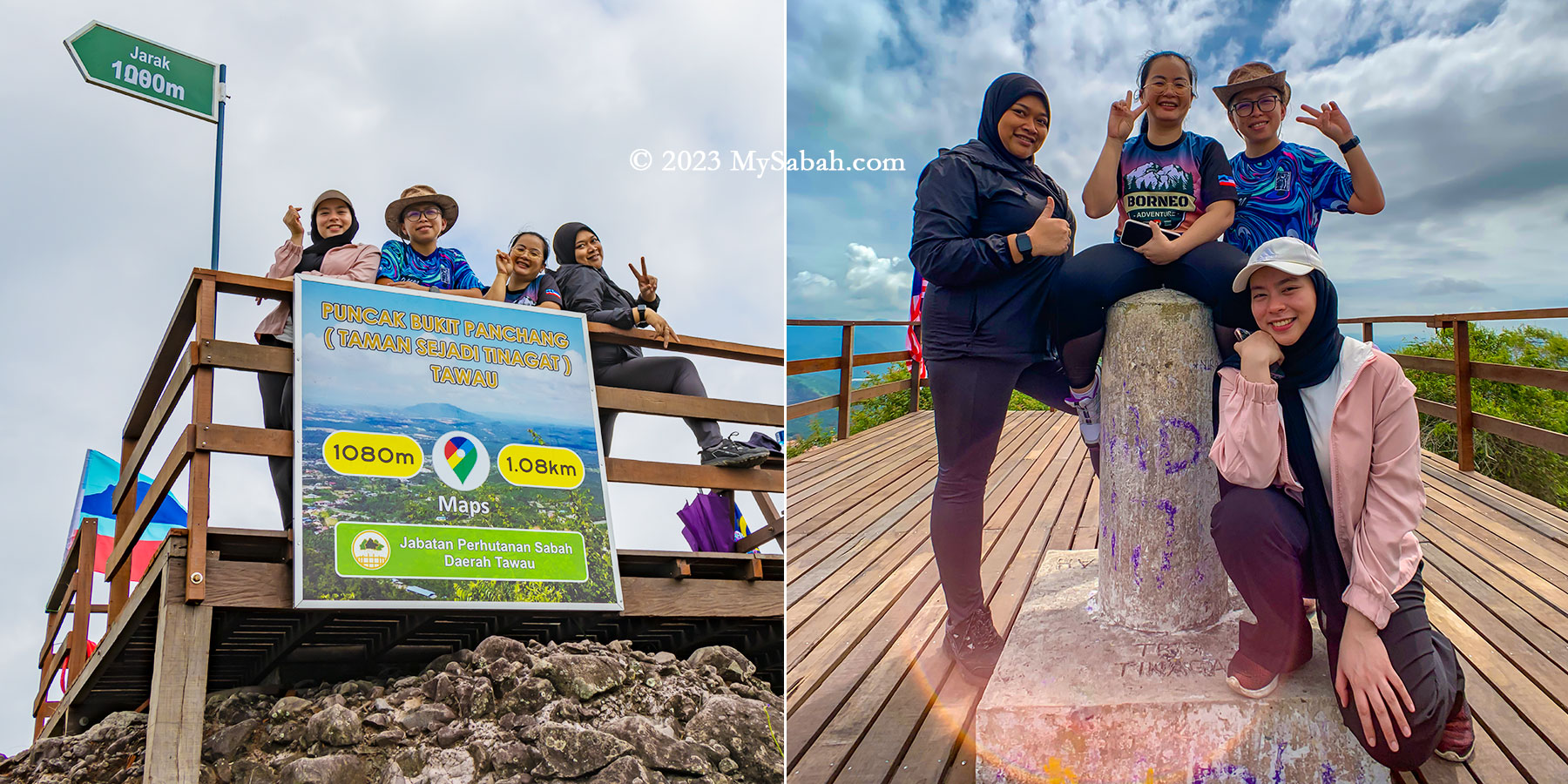
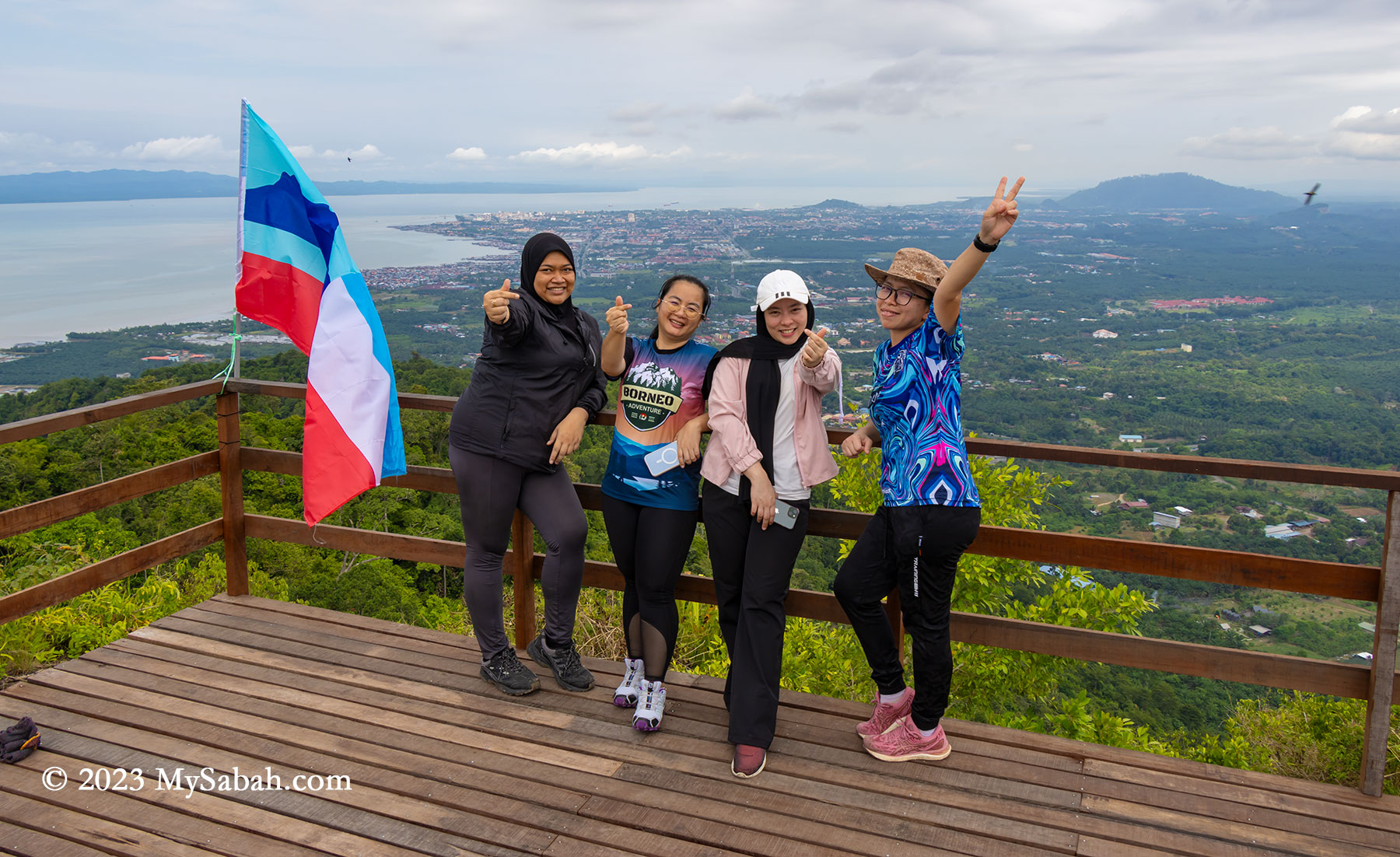
- Mountain Climbing: Mount Kinabalu, Mount Trus Madi, Maragang Hill, Batu Punggul Pinnacle, Boheydulang Island, Bongol Hill and more…
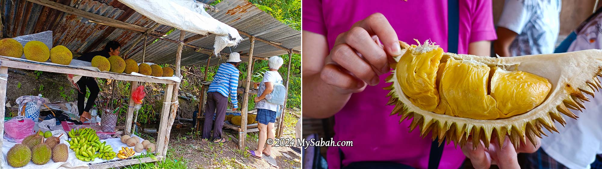
- Gastronomic: Kota Belud Tamu, Sandakan, Api-Api Night Food Market (Fri & Sat night), My Native Cafe
- Photography: Mount Kinabalu, Tun Sakaran Marine Park, Kinabatangan River, Kampung Sangkir
- Entomology: Borneo Jungle Girl Camp, Crocker Range Park