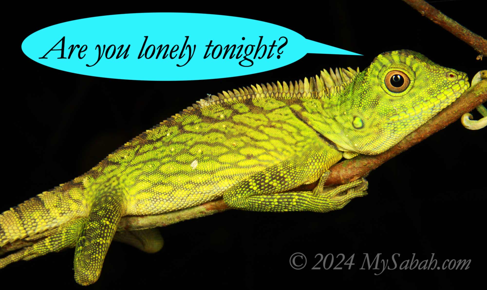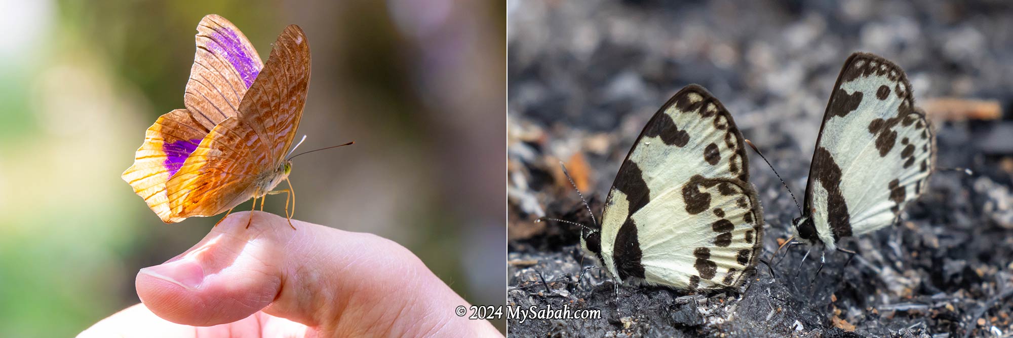
Vegetarians may consider mushrooms a delicious plant-based option in their diet. However, mushrooms are neither plants nor animals—they belong to the fungi kingdom, which has existed for over a billion years, long before the first humans existed. Even NatGeo classifies mushrooms as wildlife. Mushrooms frequently appear in captivating fictional and magical worlds, such as Avatar, Mario, Harry Potter, and Alice in Wonderland.

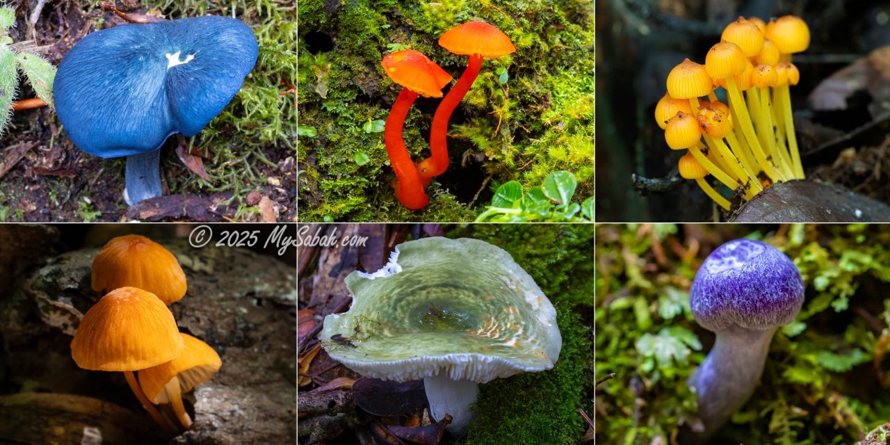
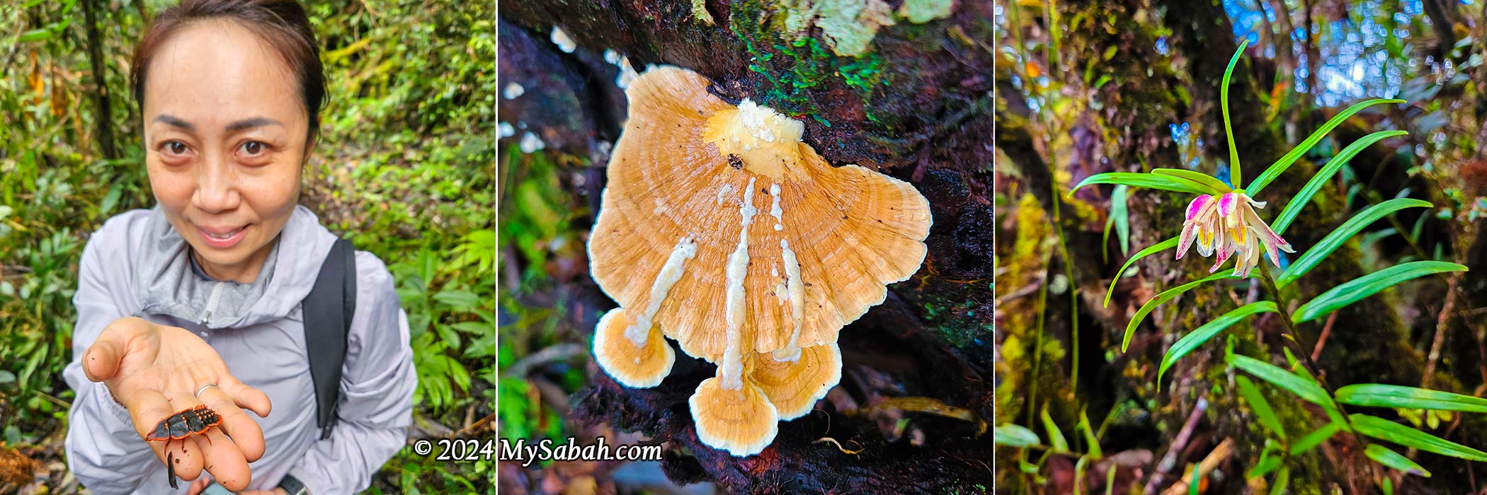
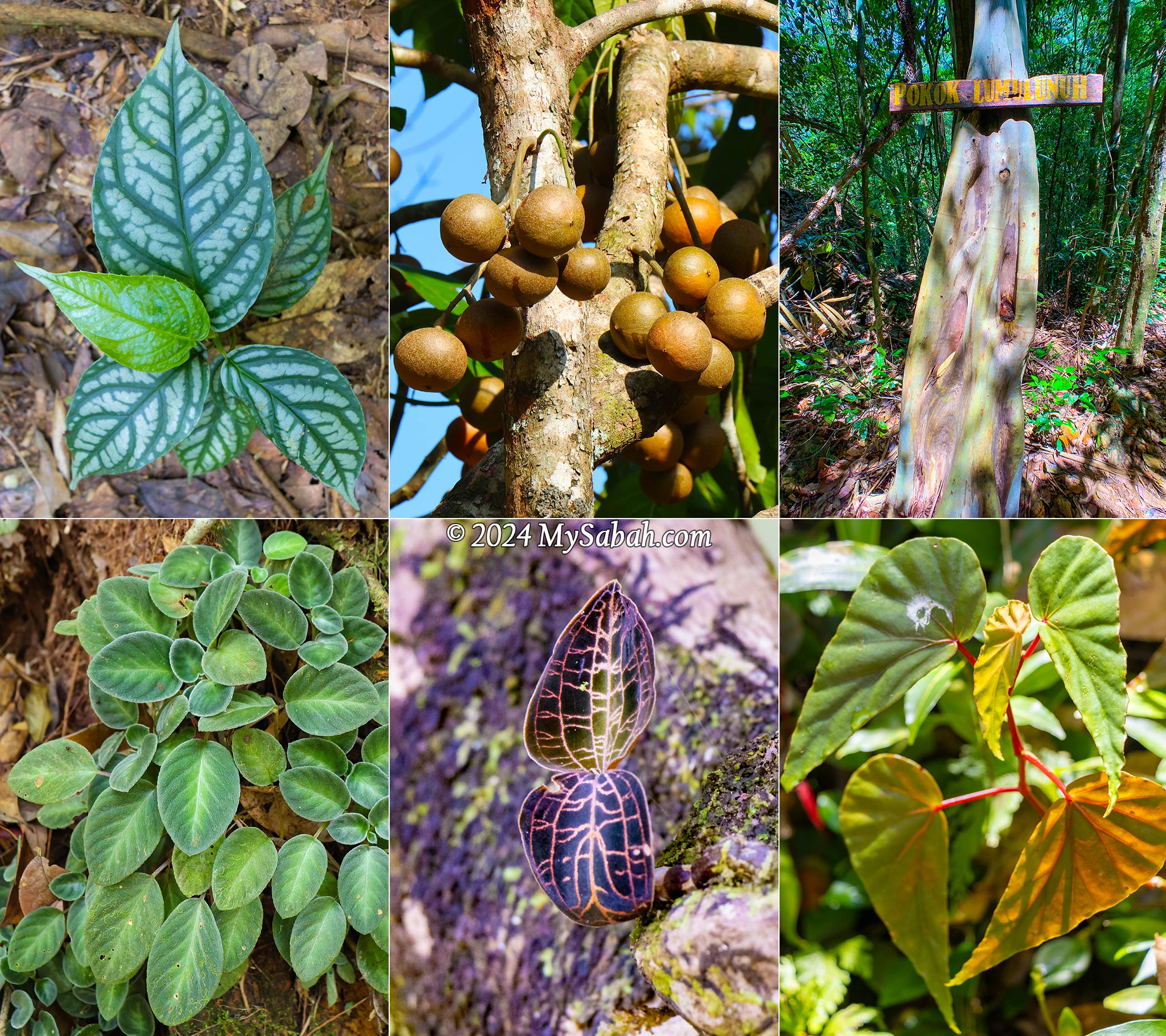
Fungi are just crazy, with their peculiar shapes, patterns, and colours. This is the number one reason why I am slow in hiking—I always pause to photograph them along the way. Some fungi are stunning, adding an eye-catching touch to the often monotonous forest landscape. József Geml, a mycologist from the Naturalis Biodiversity Center in the Netherlands who was impressed by Sabah’s fungi, remarked, “One of the manifestations of this diversity comes in the endless variety of shapes and colours that sometimes are truly breathtaking.”

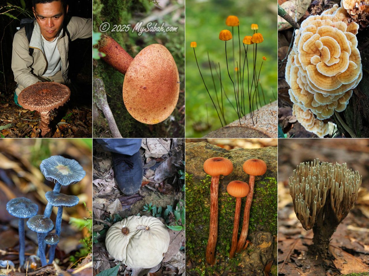
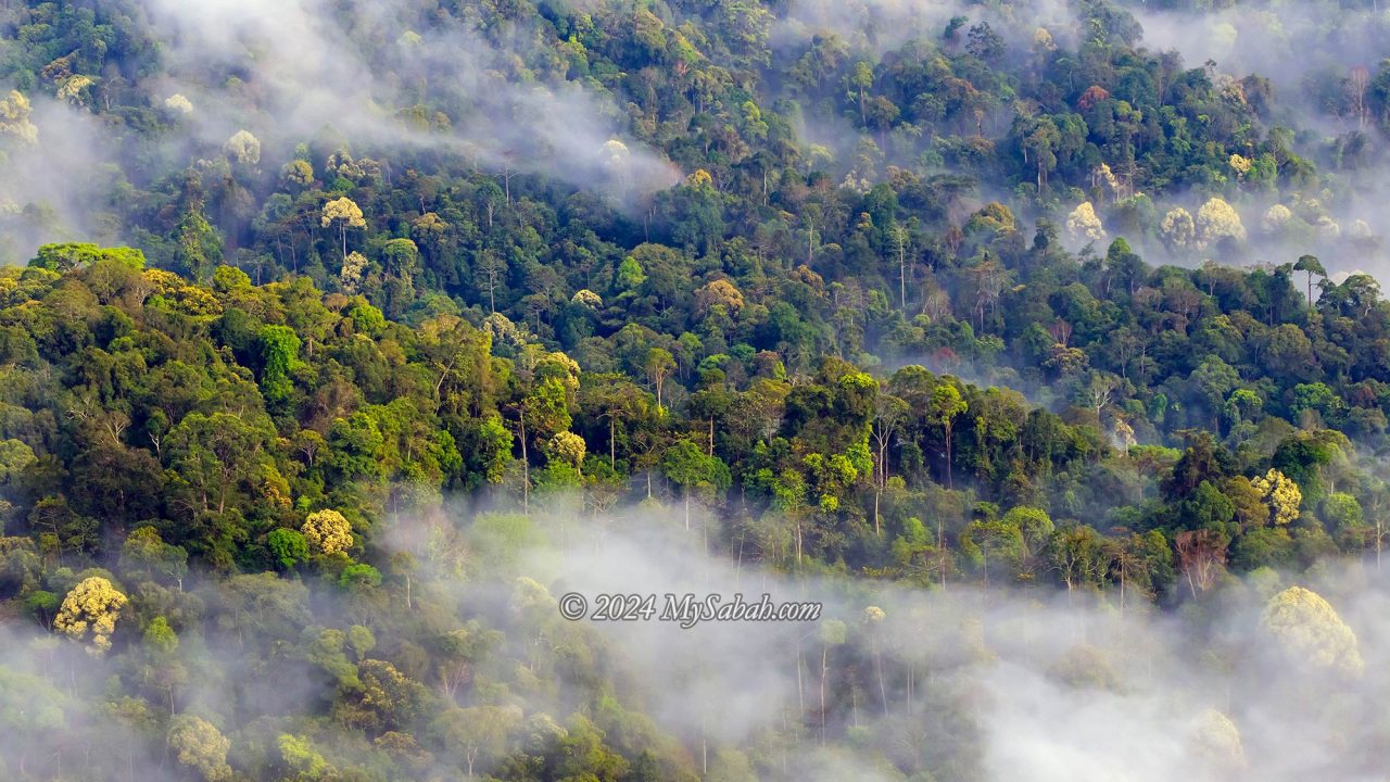
Mushrooms thrive in humid environments and humus-rich soil, making the tropical rainforests of Borneo their perfect habitat. The fungi kingdom may contain up to five million species (compared to 275,000 plant species), yet only 5% have been scientifically named. Some mushrooms only sprout for a few days before vanishing for decades. These random encounters excite me, as I might have photographed a fungus that is rare or even unknown to science!
“Nature alone is antique, and the oldest art a mushroom” – Thomas Carlyle
You may watch the video presentation on The Larger Fungi of Borneo by Dr. Jaya Seelan Sathiya Seelan, a Mycology and Plant Pathology researcher at Universiti Malaysia Sabah.
My favourite fungi are mainly the larger mushrooms in the Basidiomycota group because they are more showy and photogenic. Mycologists, on the other hand, often search for extraordinary fungi that may be smaller than a coffee bean. Regardless of their appearance, fungi play an essential role in decomposing organic matter, breaking down dead wood and fallen litter, and recycling nutrients back into the ecosystem.

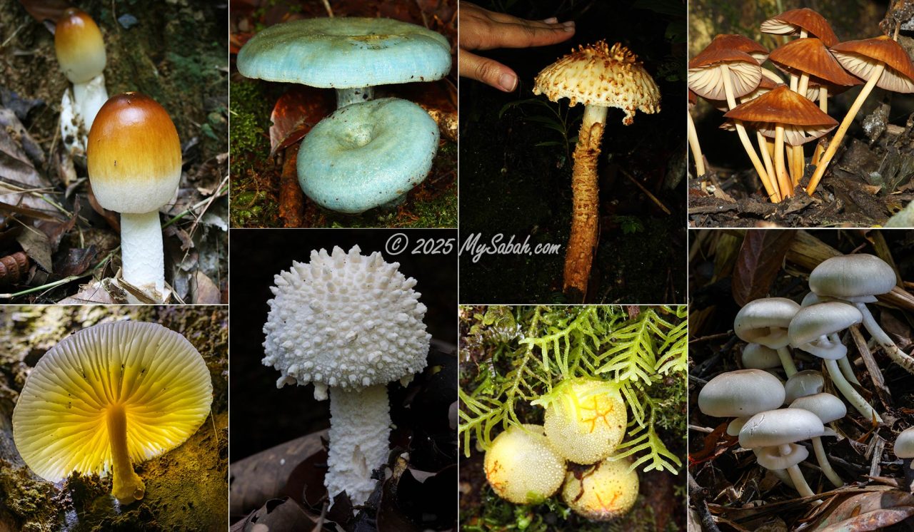
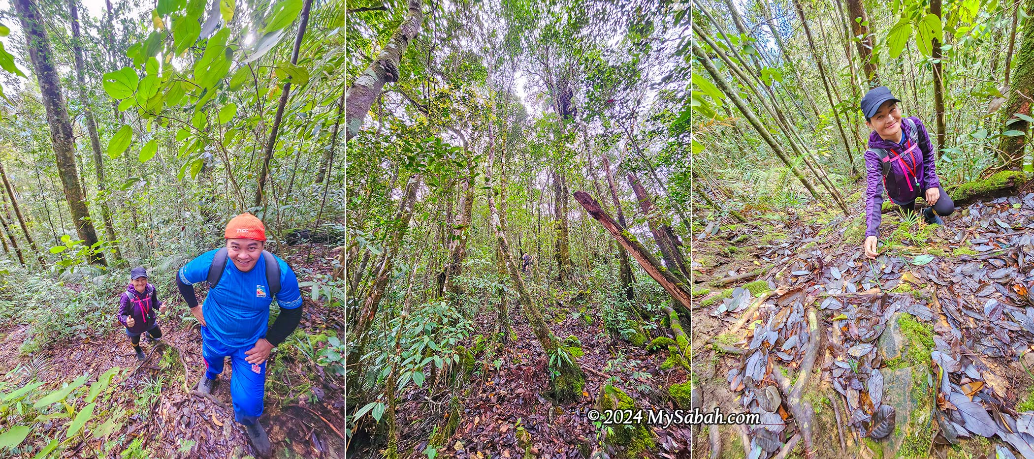
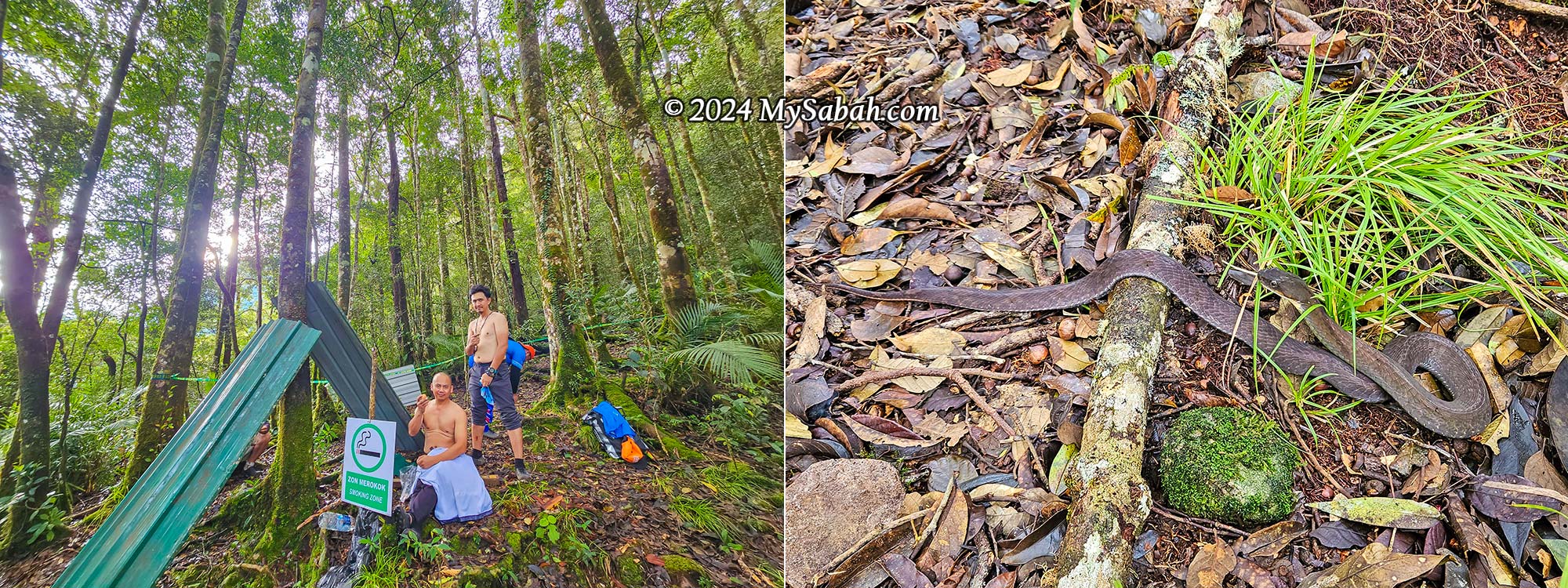
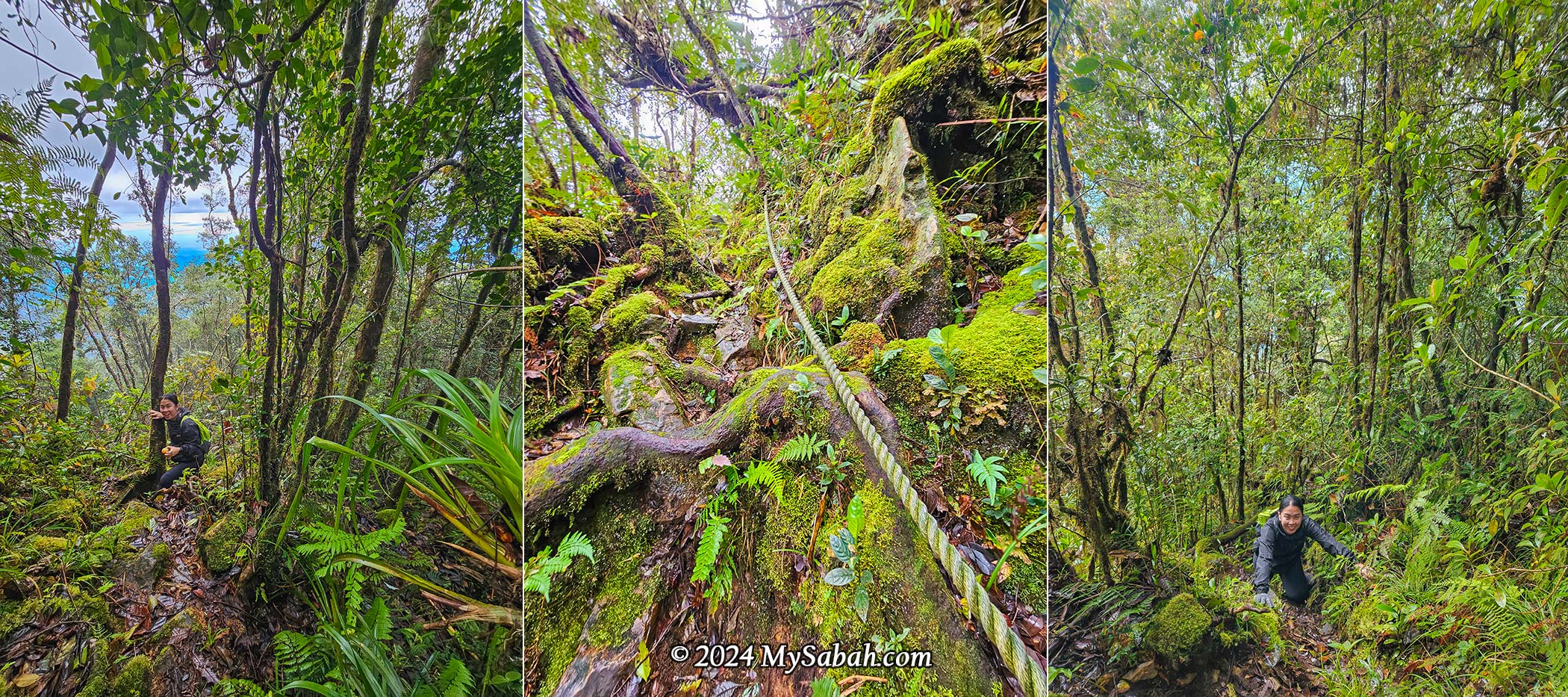
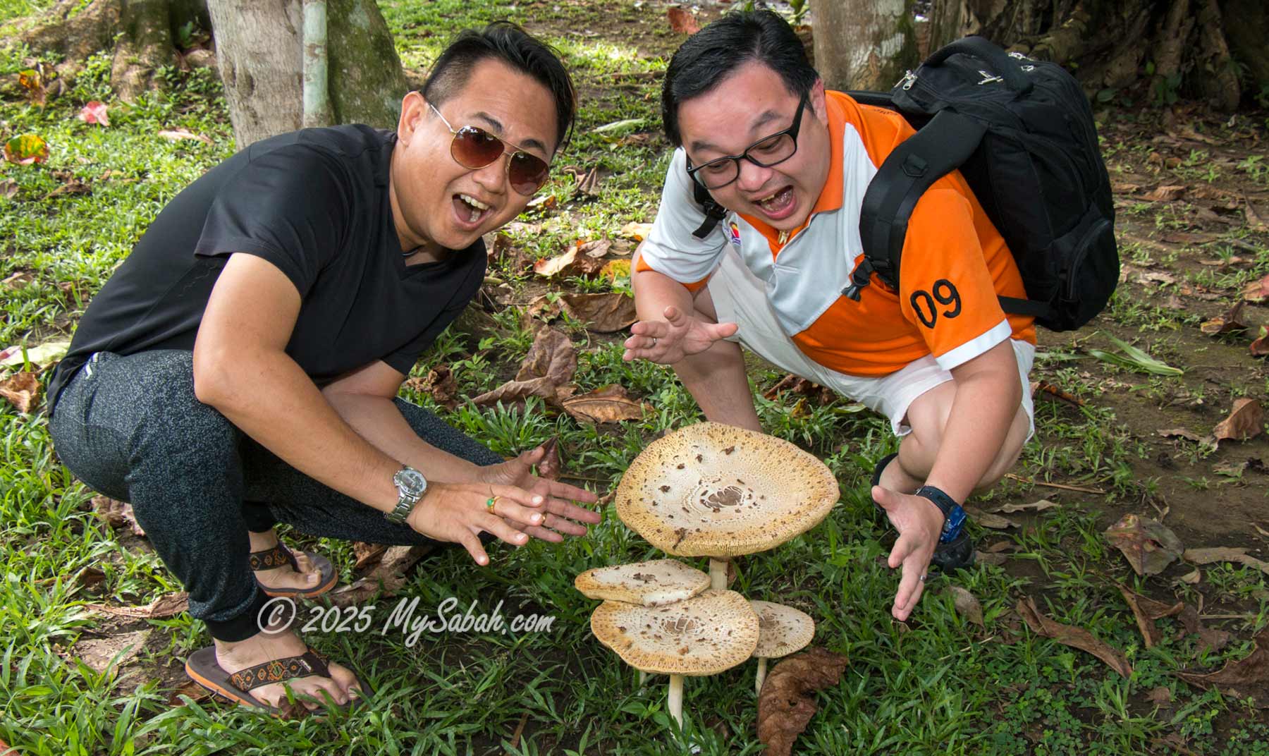
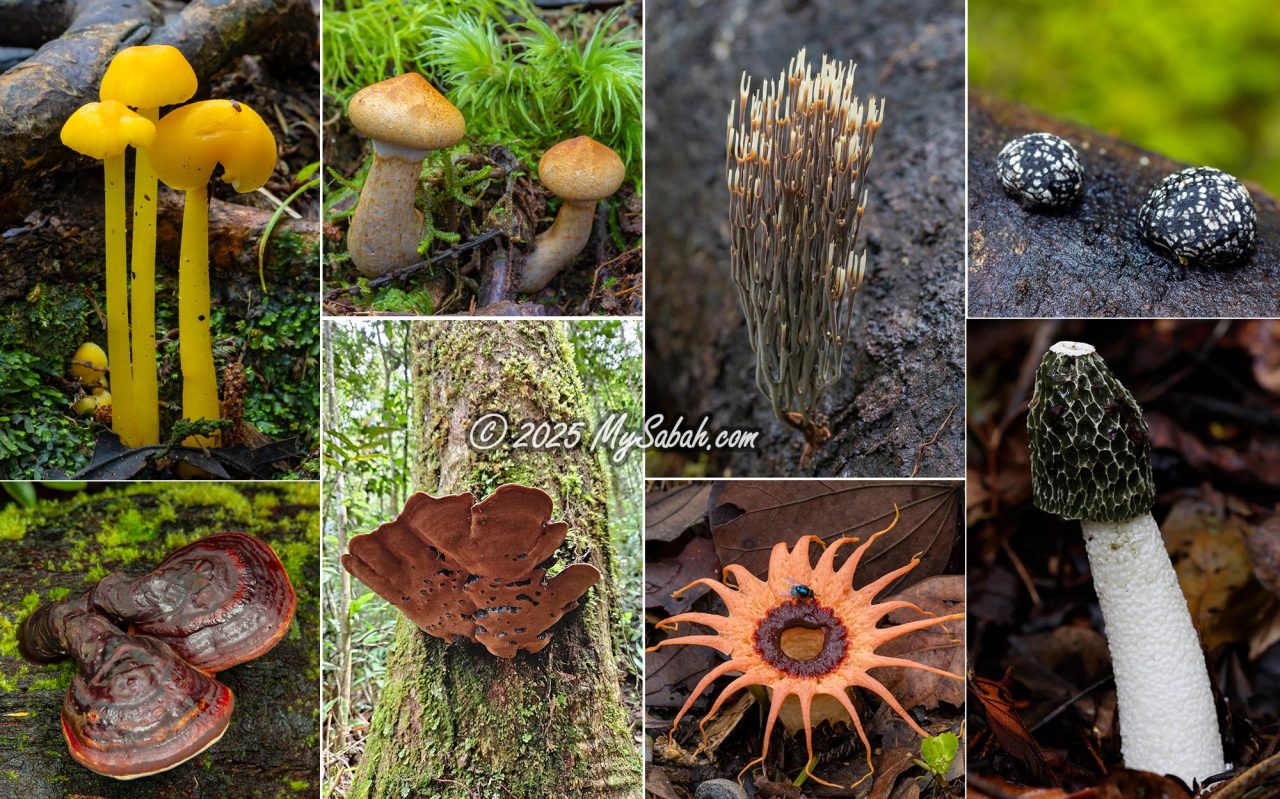
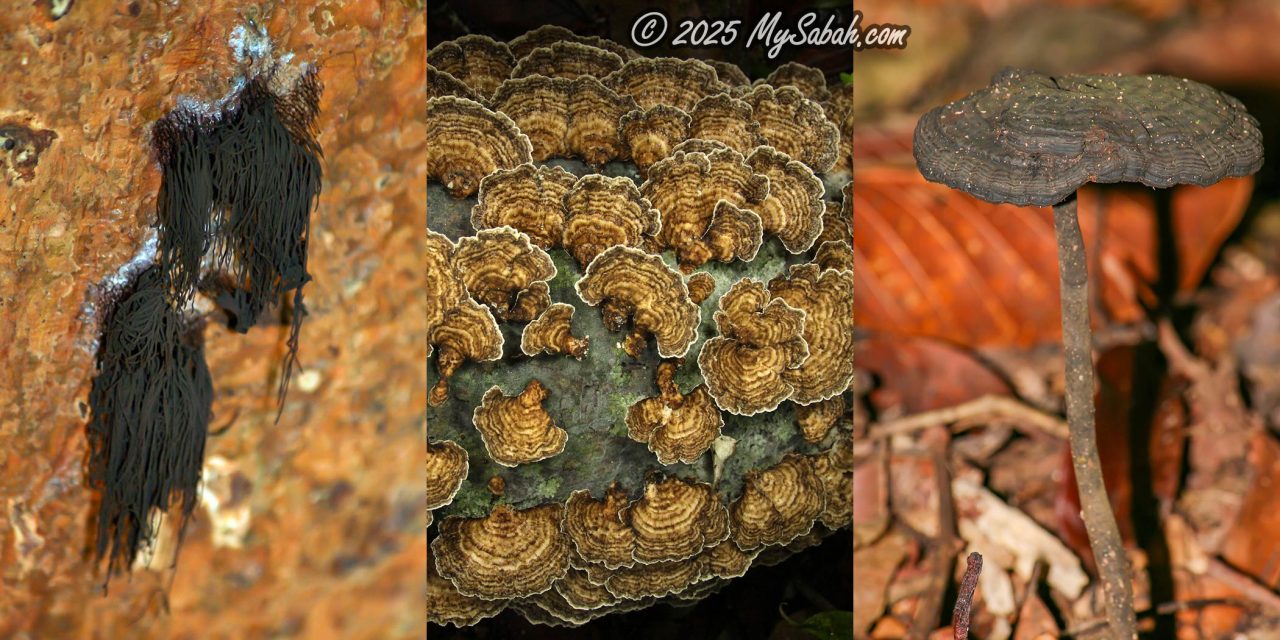
Are you ready for a magical tour featuring some of the coolest fungi in Borneo? Most of these photos are from my 20 years of hiking in Borneo’s forests.
The Most Unique Mushroom of Sabah
If I were to pick the most special fungus representing Sabah, it would undoubtedly be Chlorogaster dipterocarpi, discovered in 2004. This rare fungus is native to Sabah and was first found in Danum Valley, a million-year-old virgin rainforest in Borneo.

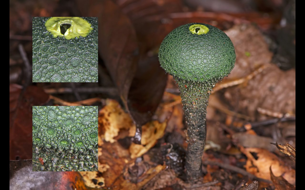
This puffball fungus stands out with its unusual appearance—a slender, pear-shaped body with a dark green surface covered in small, cone-like warts. At the top, a pale green, circular opening resembles an alien’s eye.
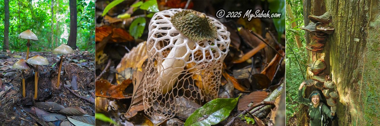
The Most Beautiful Mushroom
A Dusun Liwan (a native tribe of Sabah) folklore features a mushroom in its story. In the tale, Si Anak-Anak finds a talking mushroom by the river and takes it home. Every night, a beautiful woman mysteriously appears in his room, only to vanish by day. He falls in love with her and later discovers that she is actually the mushroom in human form. To keep her as a human, he hides the mushroom’s outer covering, preventing her from transforming back. They marry, have a child, and live happily together. That pretty girl could be a Bridal Veil Stinkhorn.
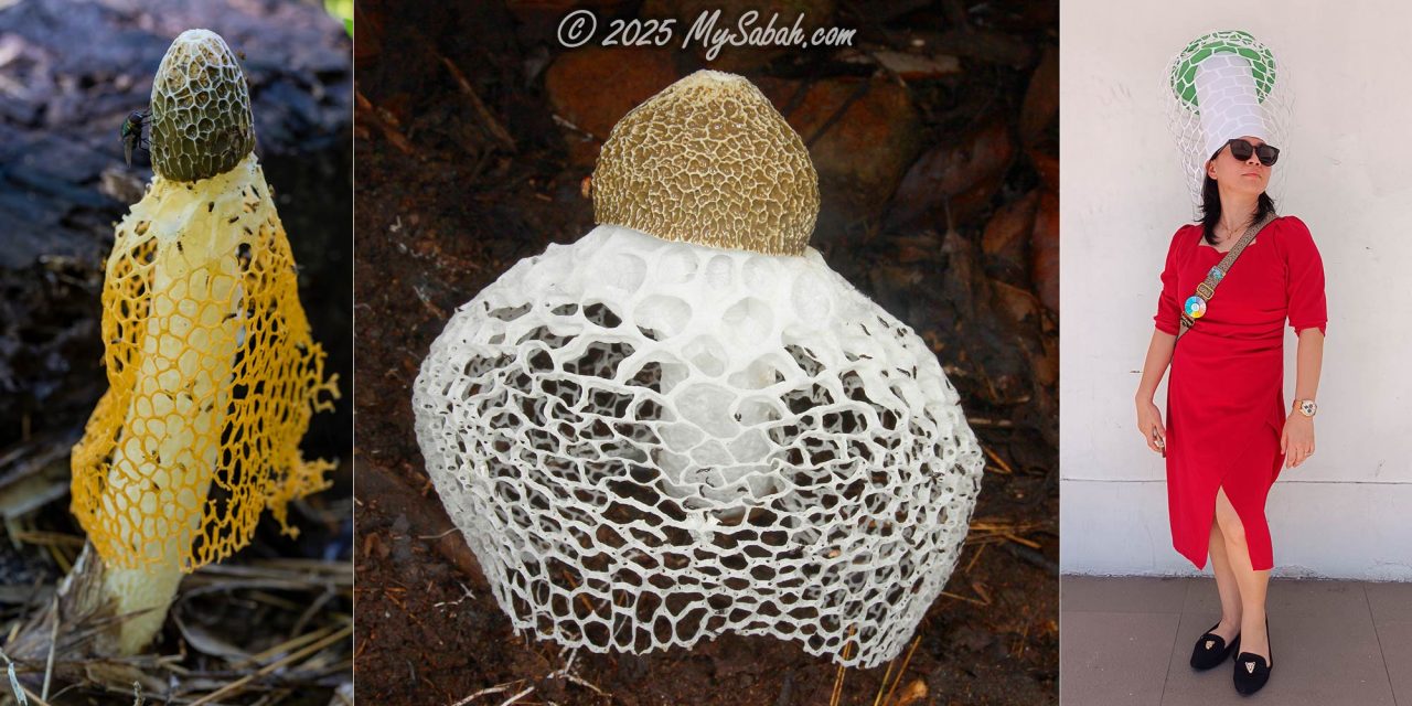
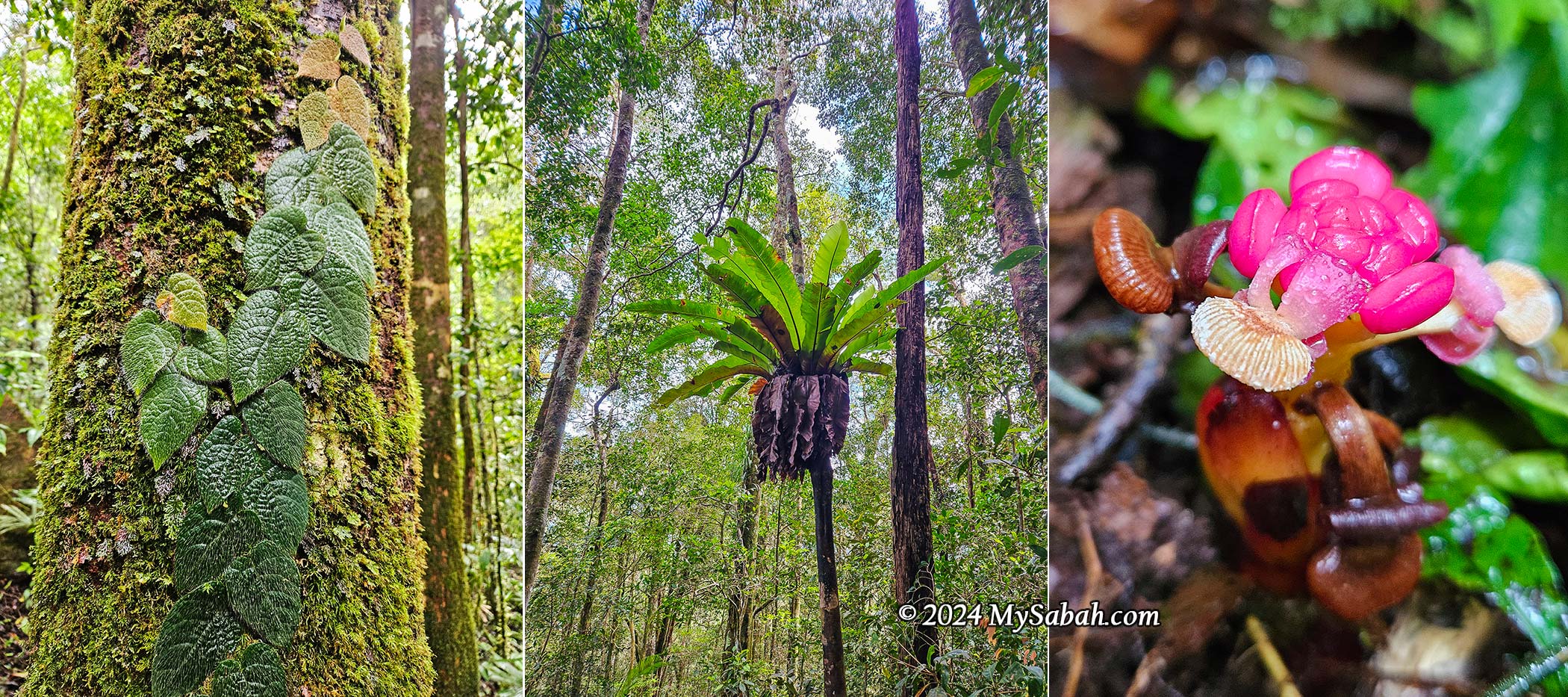
The Bridal Veil Stinkhorn (or Bamboo Mushroom) is one of the most exquisite fungi in Southeast Asia due to its white or orange net-like indusium, which hangs down from the top like a bride’s veil (or a hot girl wearing a fishnet dress?). I have seen the Bridal Veil Stinkhorn in the hill forests of Kionsom (Inanam), Tun Fuad Stephens Park, Kopungit Hill, Kg. Kiau Nuluh (Kota Belud), and Danum Valley. I haven’t found a wife, though—I may have eaten her accidentally, as the Bridal Veil Stinkhorn is considered a delicacy.
Glowing Mushrooms / Bioluminescent Fungi
Glowing mushrooms, also known as ghost mushrooms, emit bioluminescent light (or cold light) in the dark. Most of the glowing mushrooms in Sabah are endemic to Borneo. It is still unclear why these fungi glow. Some theories suggest that they attract nocturnal insects and animals, aiding in spore dispersal.

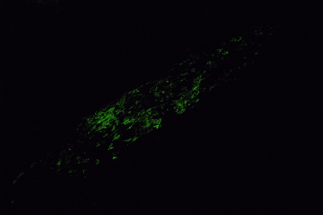
The bioluminescence is weak, so you need to turn off any lights when in the forest at night. Once your eyes adjust to the darkness, you can spot the green glow of these mushrooms or even a glowing log covered in bioluminescent fungi. This eerie light, also called foxfire, has an air of mystery. According to Kadazan legend, glowing mushrooms are guided by spirits who are hostile to those who try to harvest them.

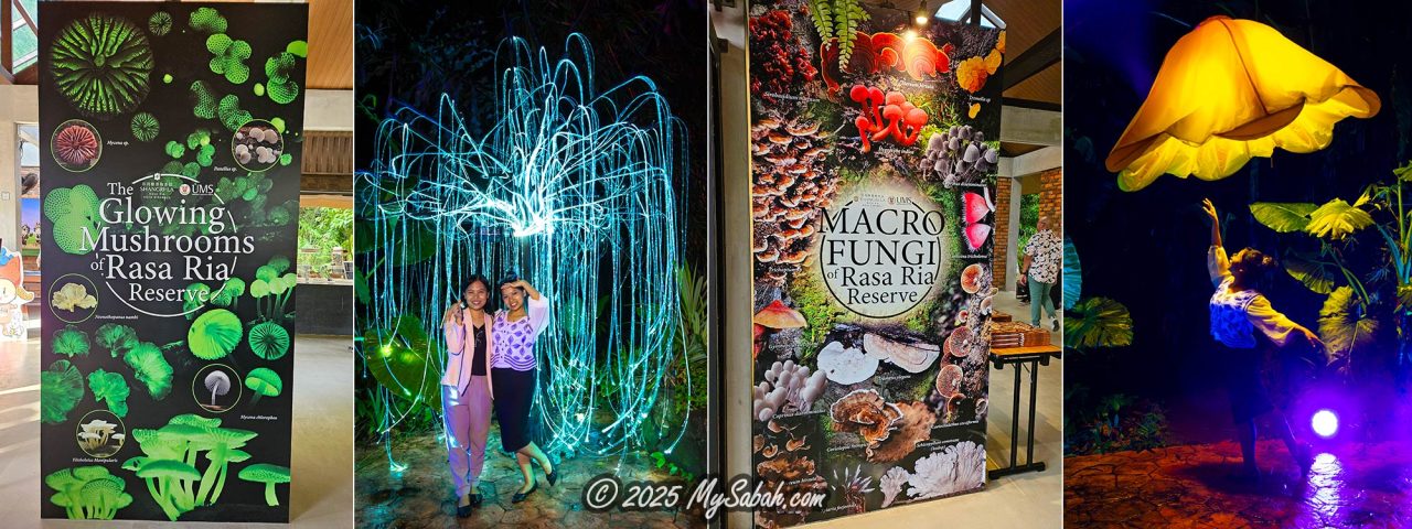
Aside from natural forests, you can also see bioluminescent fungi at the Glowing Mushroom Garden of Shangri-La Rasa Ria in Tuaran. This is Malaysia’s first bioluminescent mushroom display, enhanced with illuminated LED lights.
Edible Mushrooms / Fungi
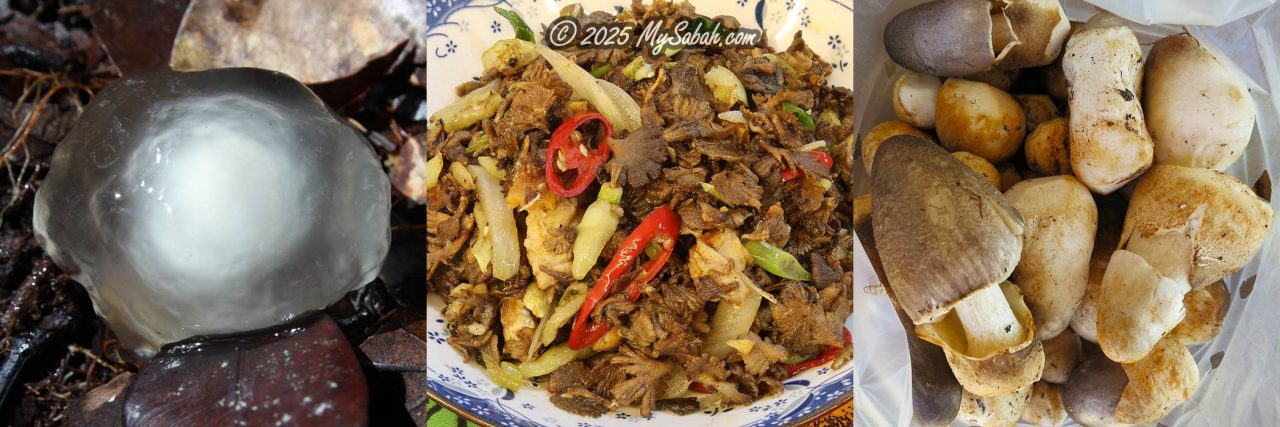
For at least 13,000 years, mushrooms have been consumed as food, and they are now an important agricultural product in Sabah. Some Sabah villages produce tons of shiitake and oyster mushrooms annually. In Sabah, 25 wild mushroom species were documented as edible mushrooms for food and five species for medicinal uses.

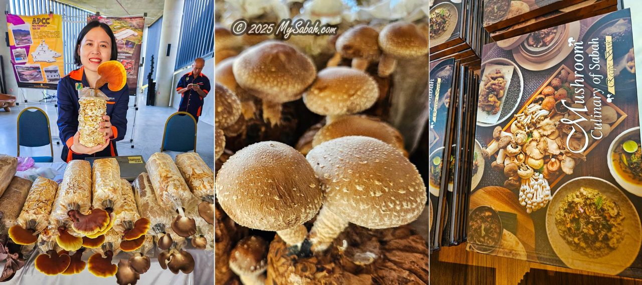
Left: Cultivated mushrooms, Middle: Shiitake mushroom, Right: The new book “Mushroom Culinary of Sabah,” a recipe collection featuring 33 exquisite mushroom dishes by Sous Chef Elroy Ernest.
Some of Borneo’s wild edible fungi include Bull-eye fungi and Kodop, both of which can be found in tamu (native open markets of Sabah). Additionally, fungi play a crucial role in fermentation. Without yeast fungi, tapai and lihing—Sabah’s favourite rice wines—would not exist. Similarly, without fungi fermenting dough, traditional bread would be flat and bland.

Poisonous Mushrooms
Whenever people see a mushroom, their first question is often, “Is it edible?” You may have heard that brightly coloured mushrooms are toxic, while others claim the white ones are dangerous. Both are wrong. There is no simple rule to distinguish whether a mushroom is safe to eat just by looking at it. You must be able to identify the species.
From 2014 to 2024, a total of 200 cases of mushroom poisoning were reported in Malaysia, with Sabah recording the highest number (67%). Most cases were caused by the False Parasol (Chlorophyllum molybdites), a toxic mushroom that closely resembles the edible Shaggy Parasol. Commonly found on lawns and gardens after rain, it is nicknamed the “Vomiter.” Consuming it can result in severe gastrointestinal distress, including vomiting, diarrhoea, and colic.
Medicinal Fungi
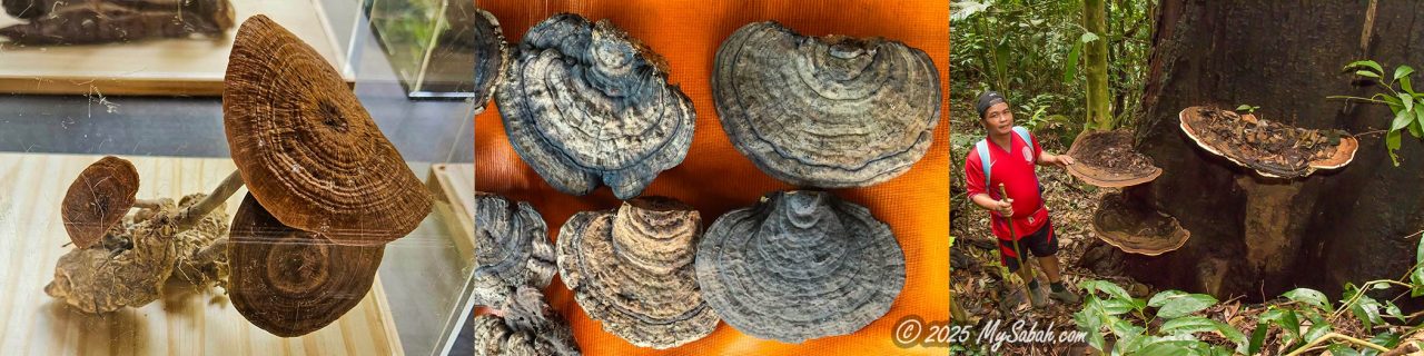
On the other hand, fungi have also saved lives. For example, Penicillium was the fungus behind the discovery of penicillin, the first antibiotic, which has saved millions from deadly infections. Another well-known medicinal fungus is Lingzhi (Ganoderma lucidum), a highly prized Chinese herb that can be found in Sabah’s forests.

The Tiger Milk Mushroom (Lignosus rhinocerus) got its name from a local legend that claims the fungus grows where a mother tiger’s milk has dripped onto the ground. It has been used in traditional medicine for its wide-ranging health benefits, including anti-cancer, anti-inflammatory, antioxidant, anti-aging, neuroprotective, and wound-healing properties.
Zombie Fungi
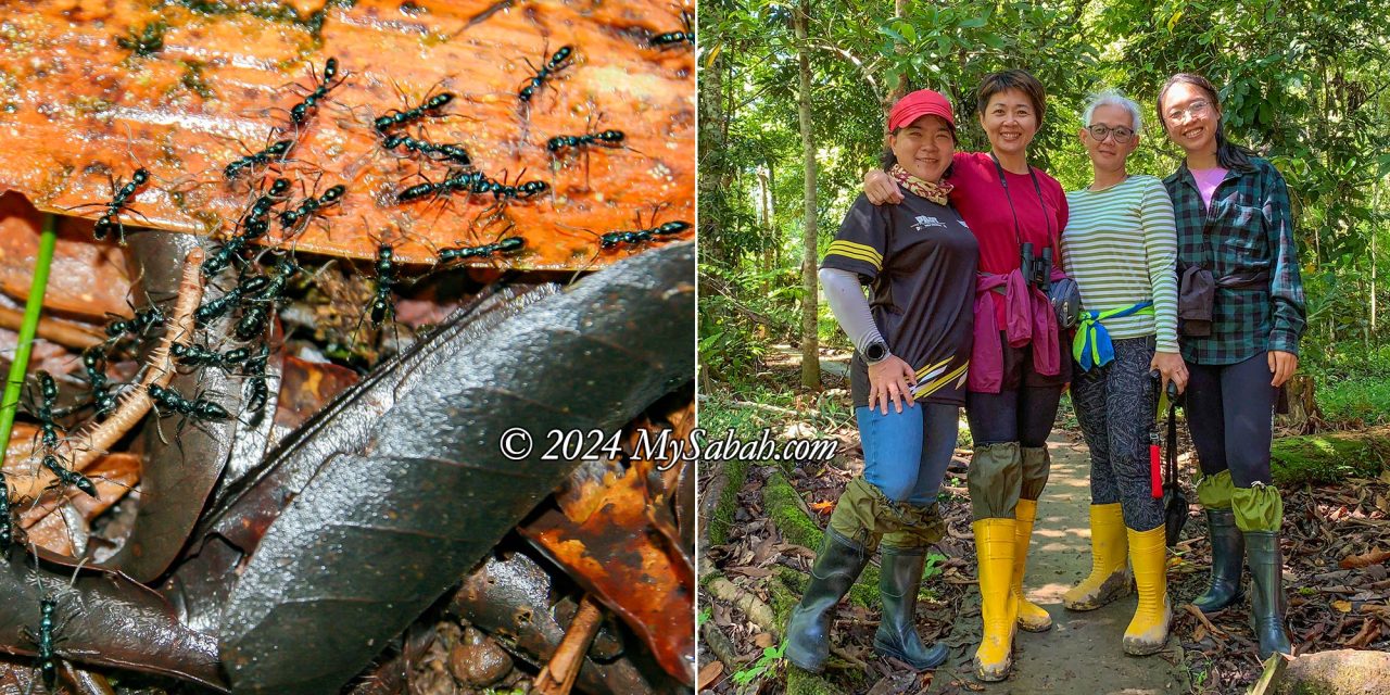
“Zombie” fungi are among the creepiest fungi, and I’ve spotted quite a few in lowland forests. The horror begins when an ant or insect (often a moth) gets infected by fungal spores and is slowly consumed from the inside.
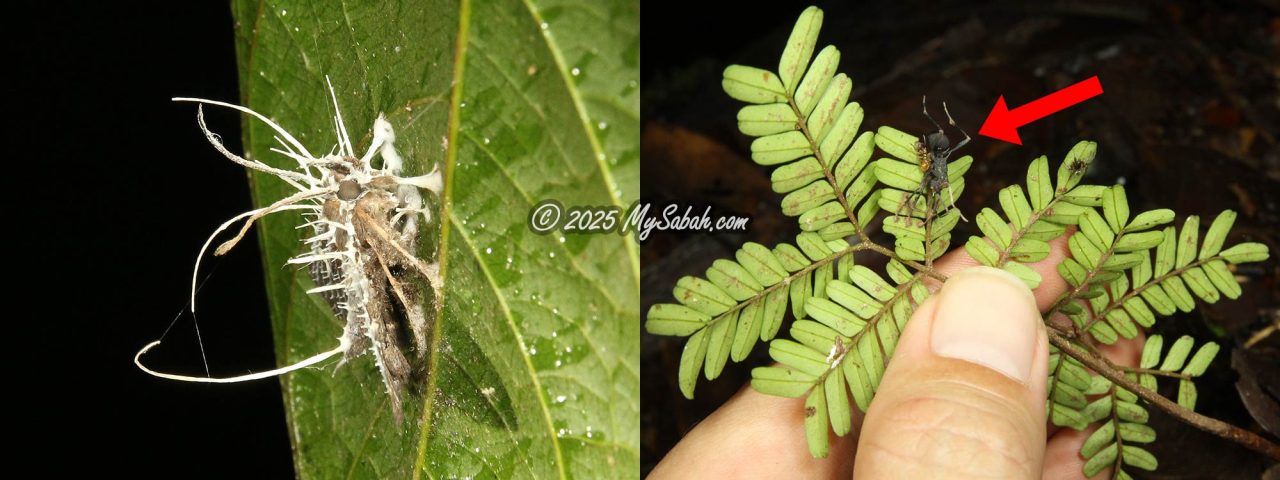
As the fungus matures, it takes over the insect’s mind, compelling it to climb to a higher spot and latch itself onto a leaf. The insect then dies, and the fungus sprouts from its body, releasing spores to continue the cycle. A famous and highly valuable Chinese medicinal herb, Cordyceps sinensis (also known as caterpillar fungus or 冬虫夏草), is produced in a similar way.
Other Interesting Fungi
The world of fungi doesn’t end there! The more you explore, the more fascinating species you’ll discover.
Starfish Fungus
Spotting a Starfish Fungus (Aseroe rubra), also called the Anemone Stinkhorn, in Sabah is as rare as winning the lottery. This alien-like fungus is short-lived, withering in a day or two, so many people have never seen it.

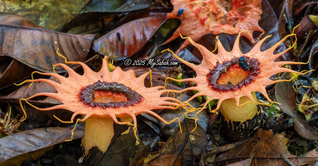
It resembles a reddish star-shaped structure on a white stalk. Its dark olive-brown slime (gleba) smells like rotting meat and contains spores. The foul scent attracts carrion flies, which help spread the spores. Its scientific name literally means “disgusting red juice.”
Agarwood (Gaharu)
Nicknamed the “Scent from Heaven,” the fragrant wood of Agarwood (Aquilaria species), or Gaharu as it’s known locally, is worth its weight in gold due to its rarity and widespread use in perfume, incense, and traditional medicines. Sabah’s forests contain an abundance of wild Agarwood, attracting illegal poachers.
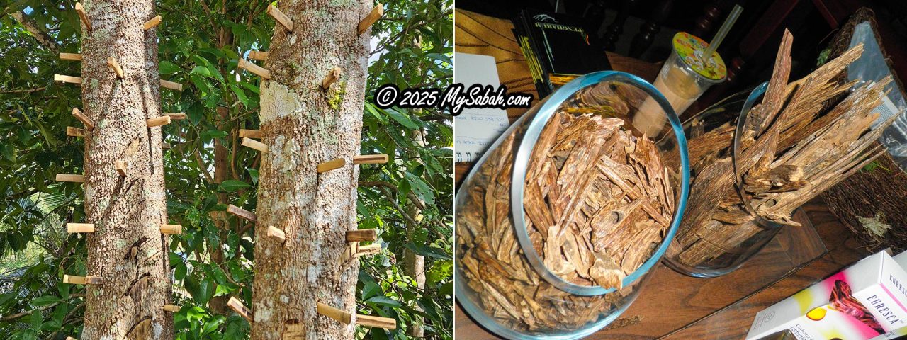
However, the tree itself doesn’t naturally produce its prized resin. It must first be injured and infected by specific fungi (e.g., Fusarium species). Cultivators artificially inoculate trees with the right fungi, and the resin takes 1 to 5 years to develop.
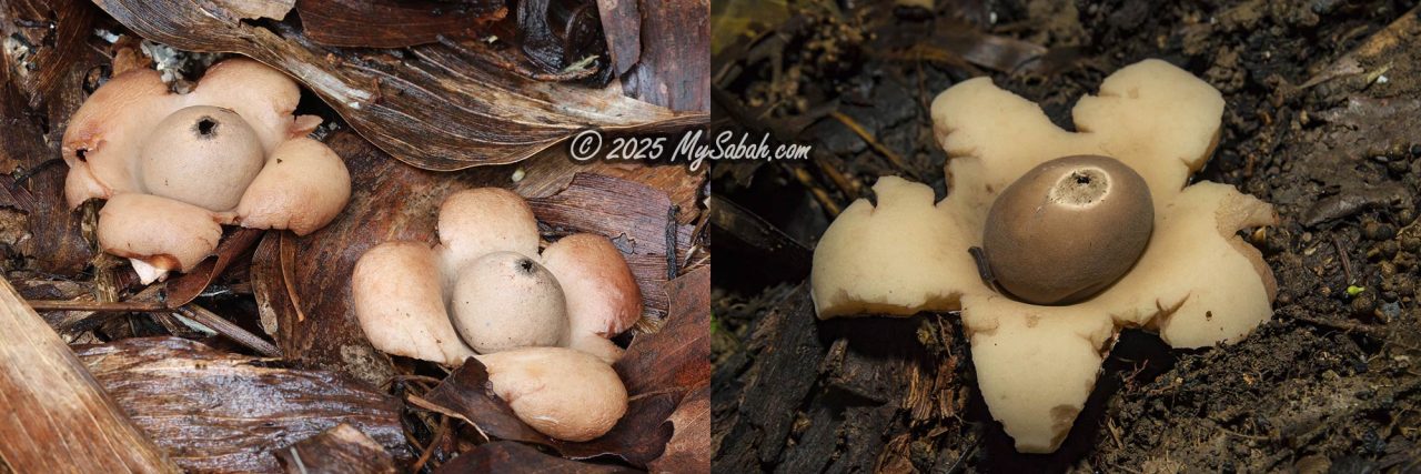
Earthstar
The Earthstar mushroom (Geastrum sp.) resembles a tiny orange before maturing. Its outer layer splits open into star-like segments as it ripens, revealing a smooth, egg-shaped spore sac. When raindrops hit the sac’s central pore, a jet of spores is released. Earthstars are generally non-toxic but inedible.
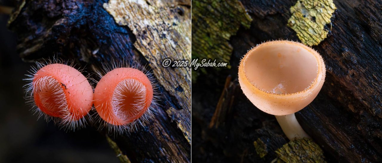
Cup Fungi
Known as “Kulat Mangkuk” in Malay, cup fungi (Cookeina spp.) are commonly found on decaying wood in damp, shaded forest areas. Their vibrant colours range from red, pink, peach, to orange, and some even have tiny hairs covering the cup surface. Cup fungi can be used as fish bait by rubbing them on fish hooks.

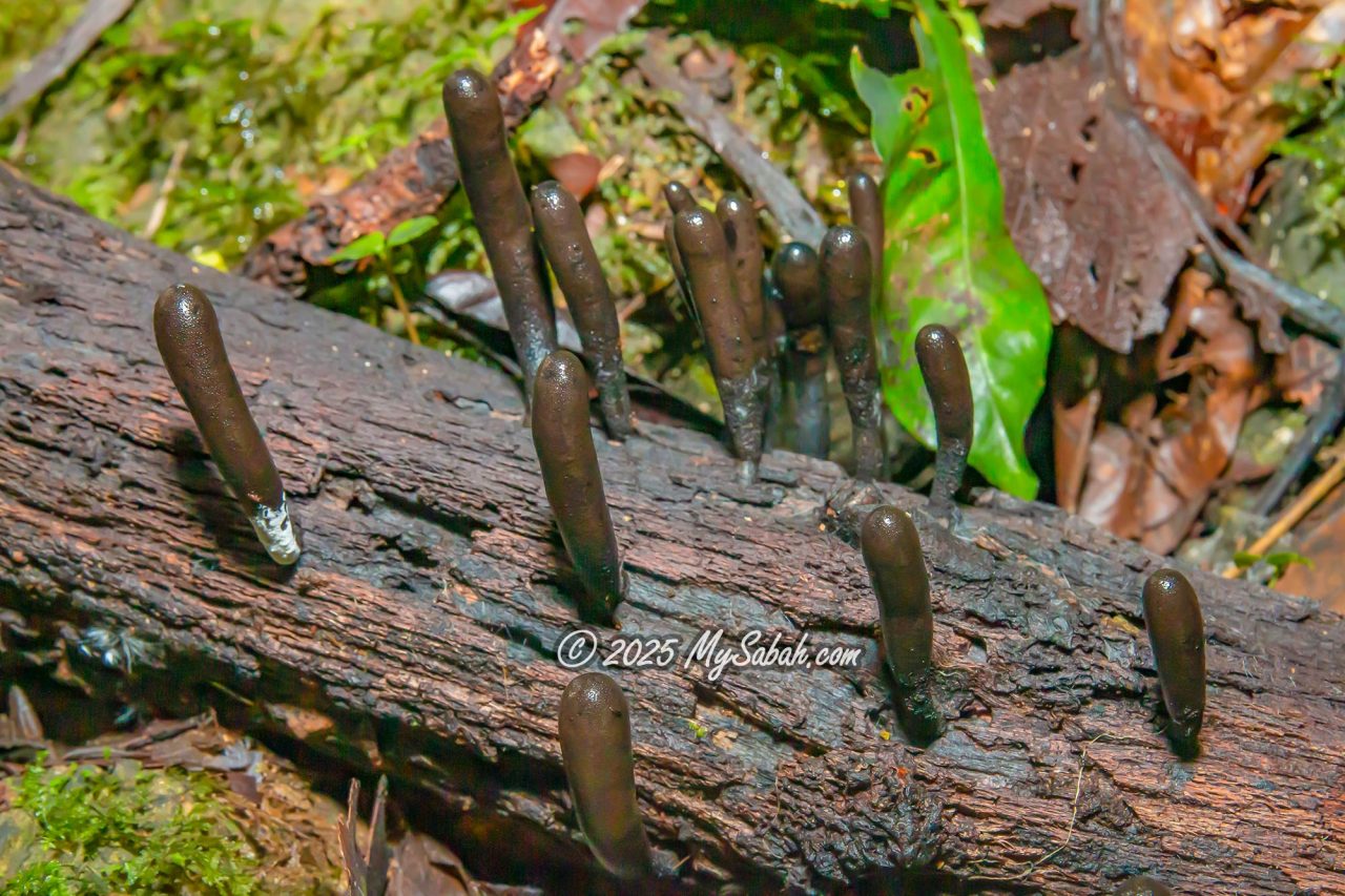
Dead Man’s Fingers
Xylaria polymorpha, Dead Man’s Fingers, is a wood-decaying fungus named for its eerie, black, finger-like fruiting bodies.
Best Locations for Fungi Spotting in Sabah
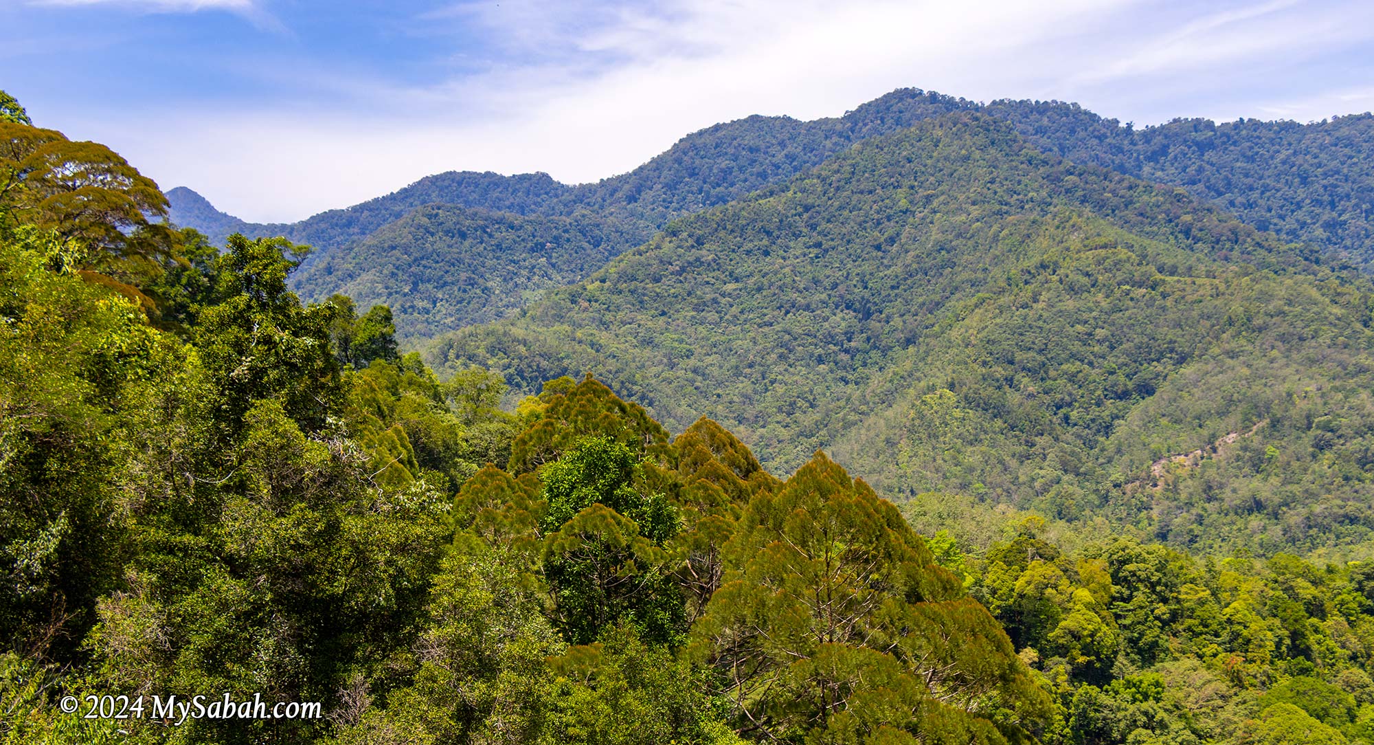
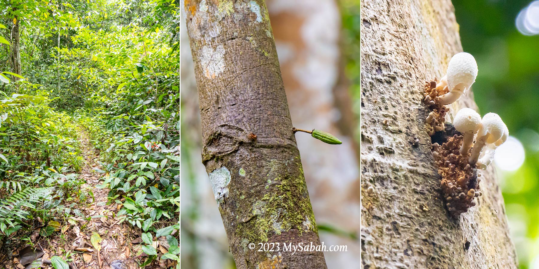
Fungi are found everywhere, but the diversity varies greatly depending on the forest’s condition. Pristine forests are the best places to find fungi, as their underground mycelium networks remain intact and undisturbed.
Over 95% of plants are estimated to rely on fungi for growth and survival. Logged forests, however, have far fewer fungi species because their damaged mycelium networks need 100 to 200 years to fully recover.
1) Maliau Basin
With over 10 different forest types spanning various altitudes, Maliau Basin—also known as Sabah’s Lost World—is the top spot for fungi spotting. Its towering trees block sunlight, creating a cool, moist environment where fungi thrive. Once a passionate mycologist steps into Maliau Basin, he will cry with joy and doesn’t want to leave his dreamland.

2) Danum Valley
Danum Valley is one of the world’s oldest and last remaining virgin rainforests, and researchers are still discovering new species of flora and fauna here.

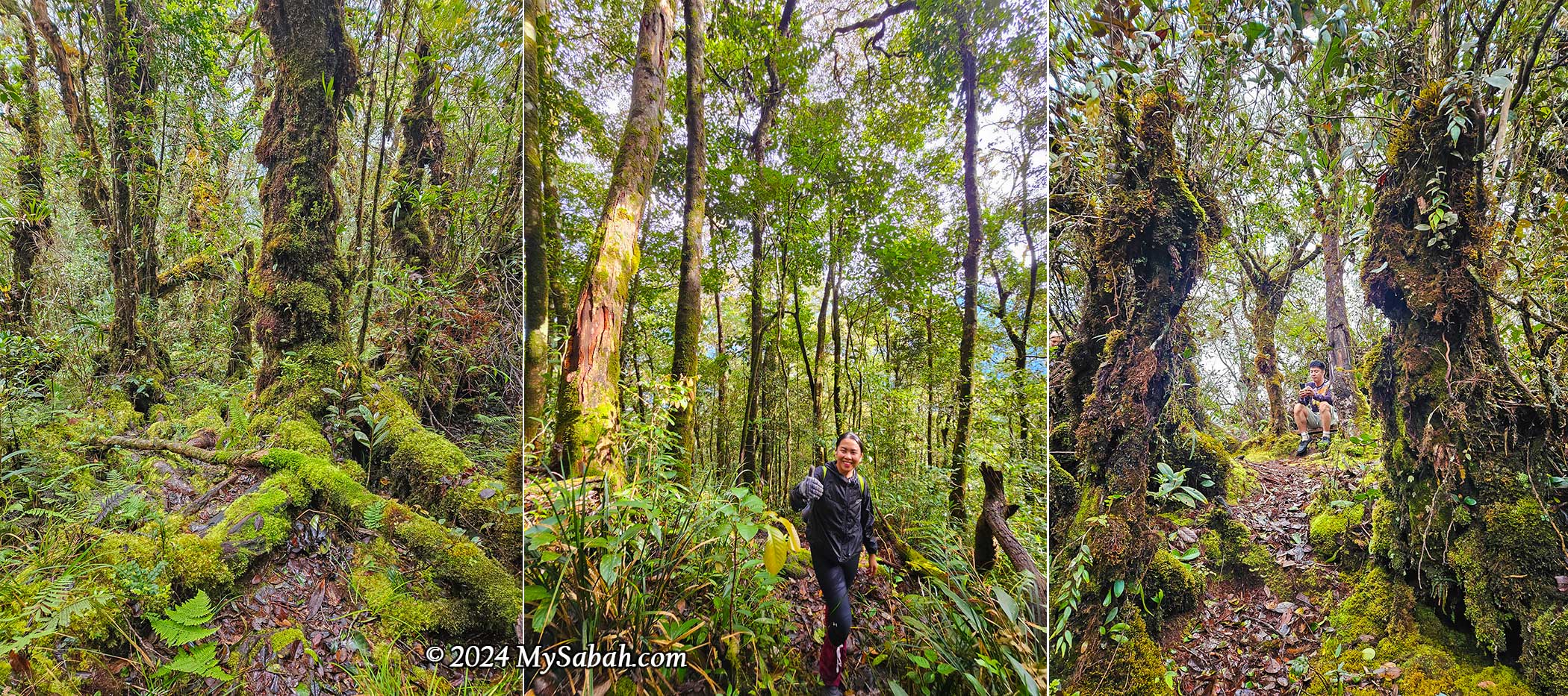
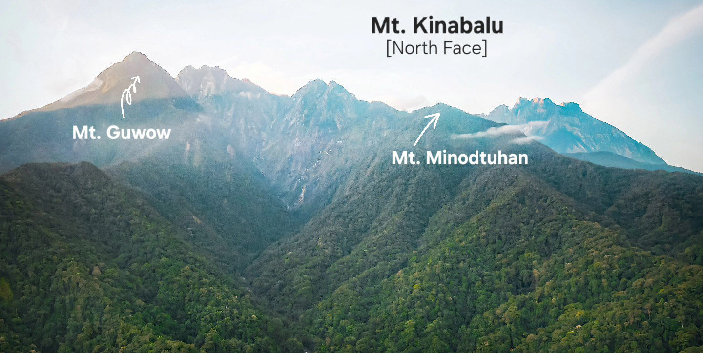
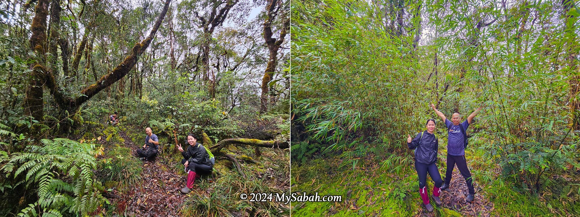
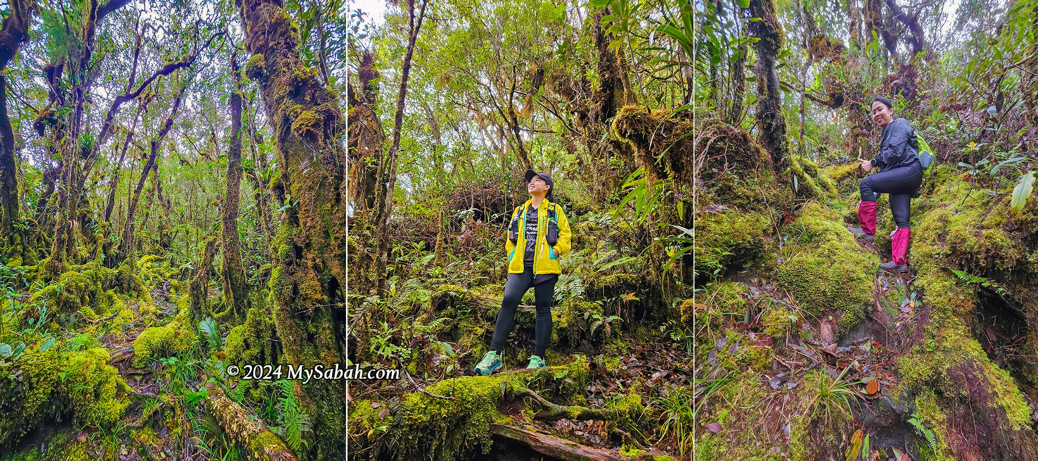
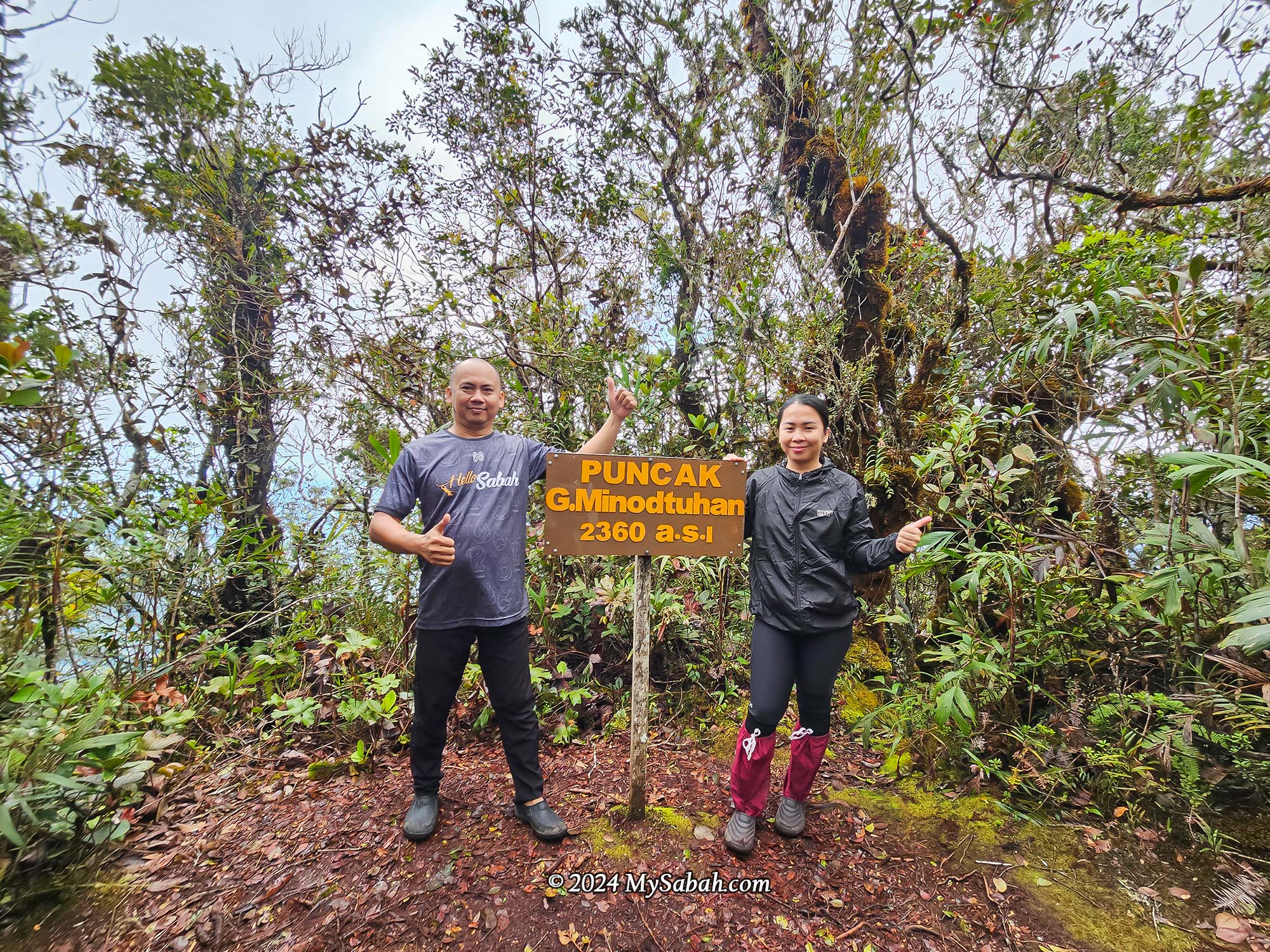
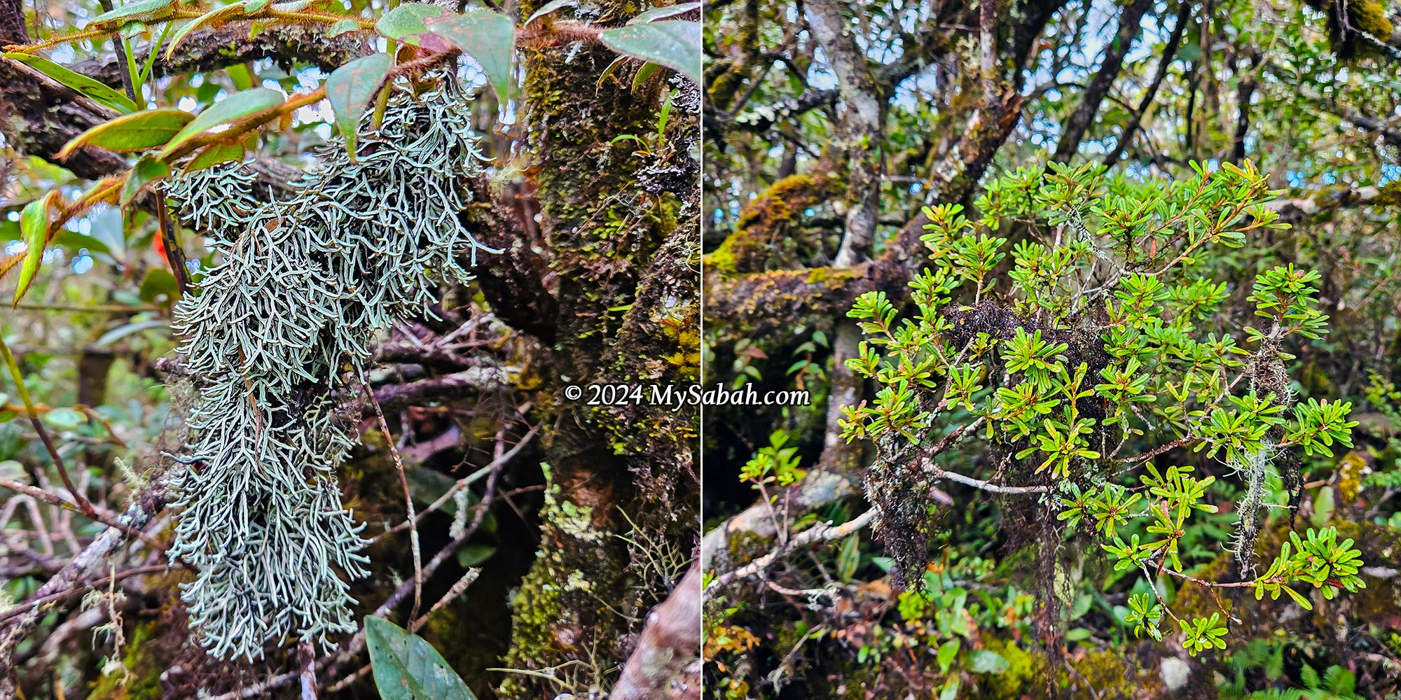
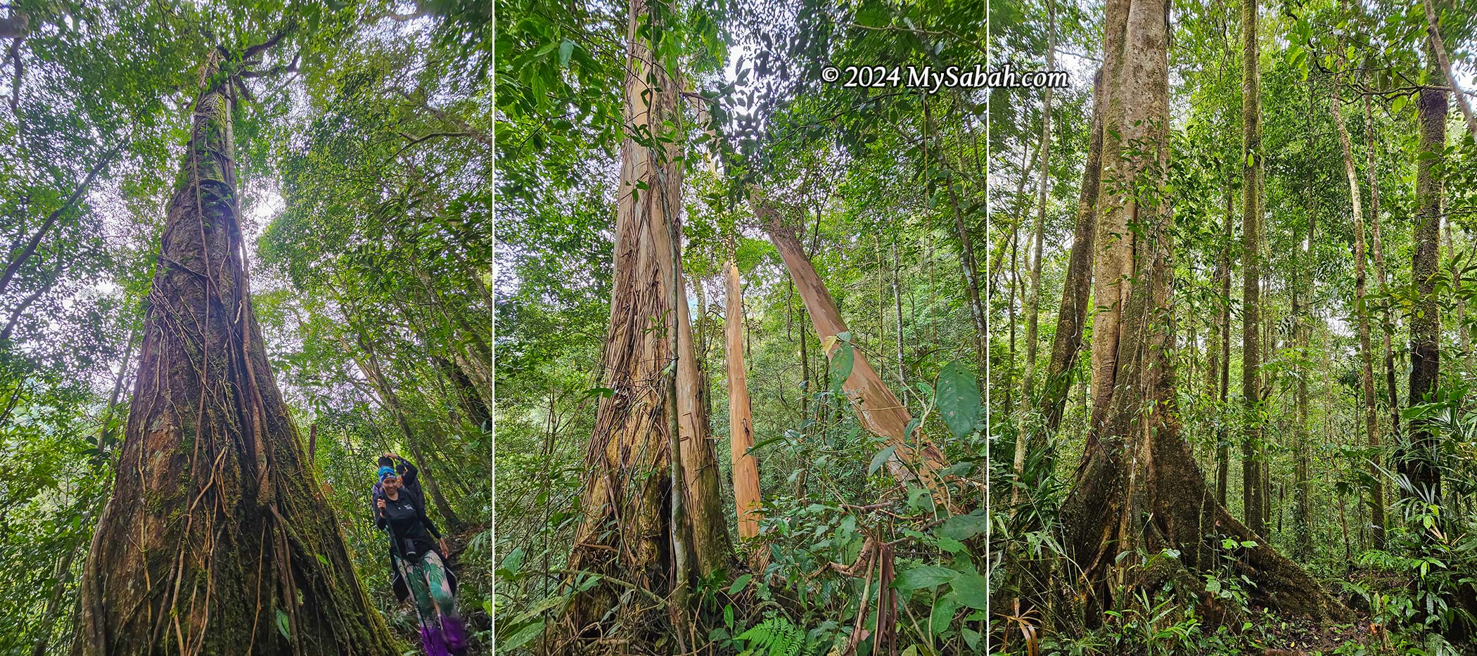
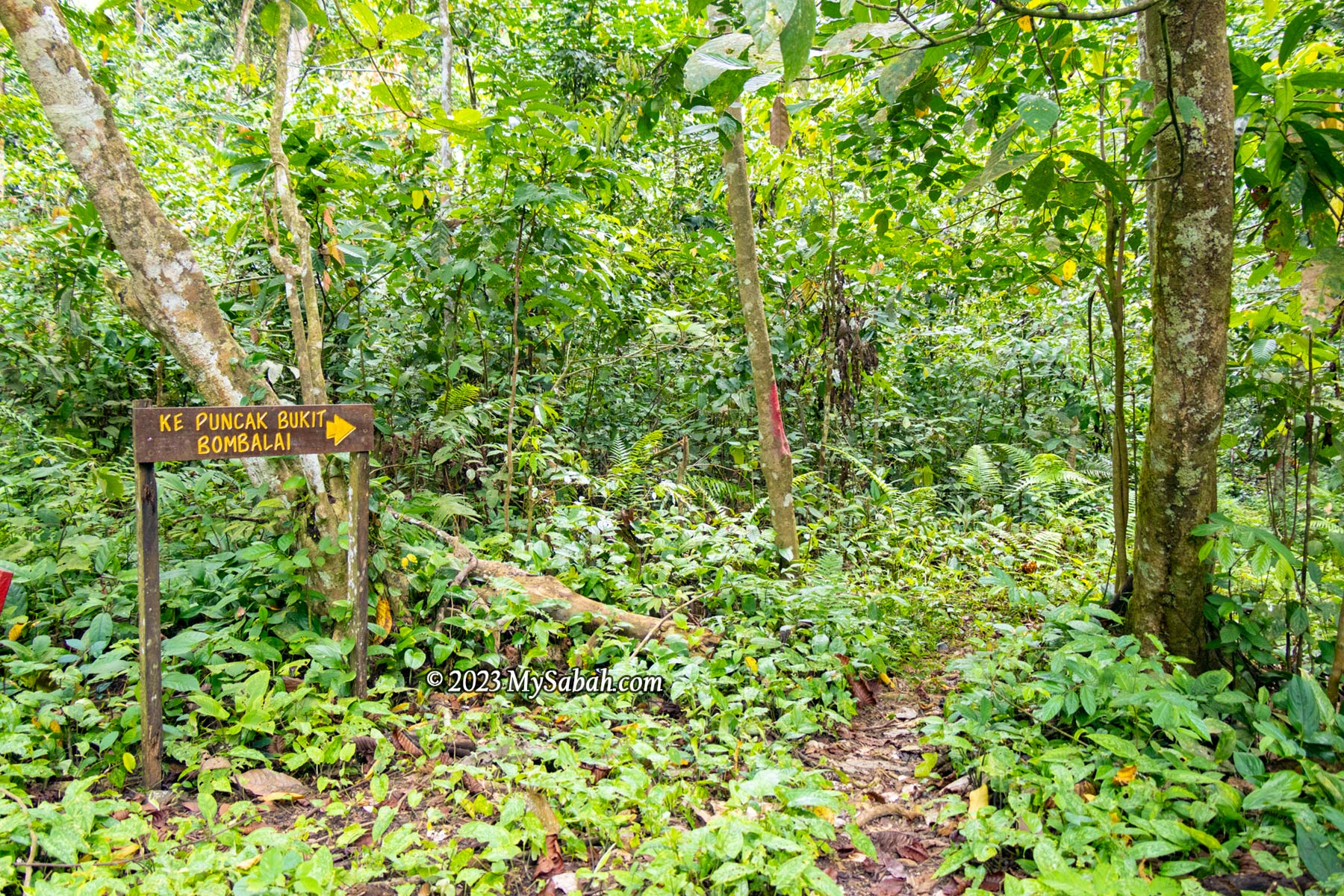
3) Kinabalu Park
Kinabalu Park is a UNESCO Global Geopark of Malaysia. Described by fungi experts as an “El Dorado” for mycologists, Kinabalu Park is easily accessible and tourist-friendly. Simply walk along its nature trails, and you’ll spot unique highland fungi in the montane forest.

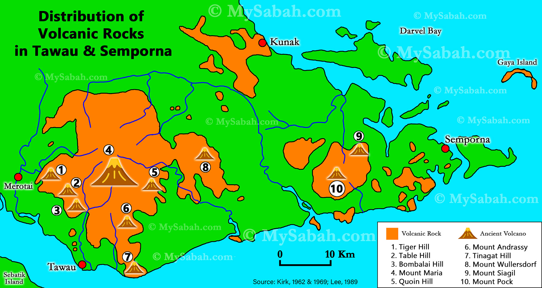
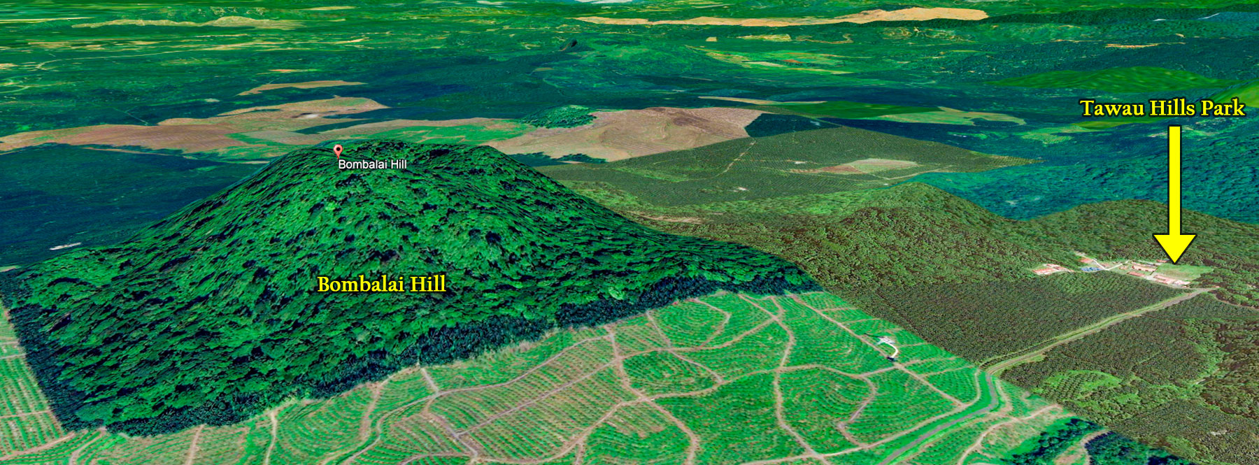
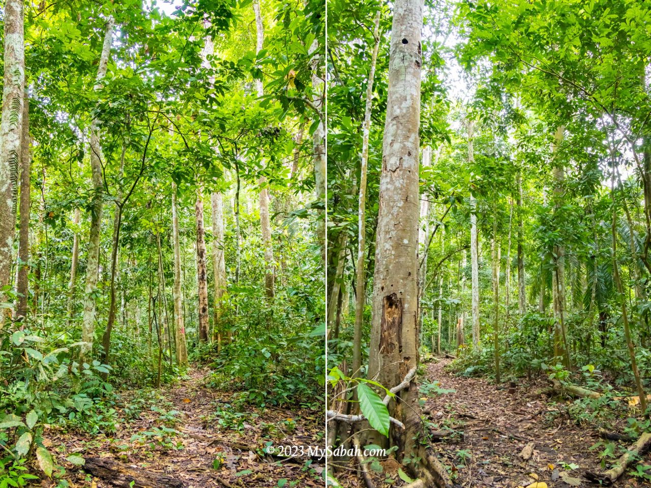
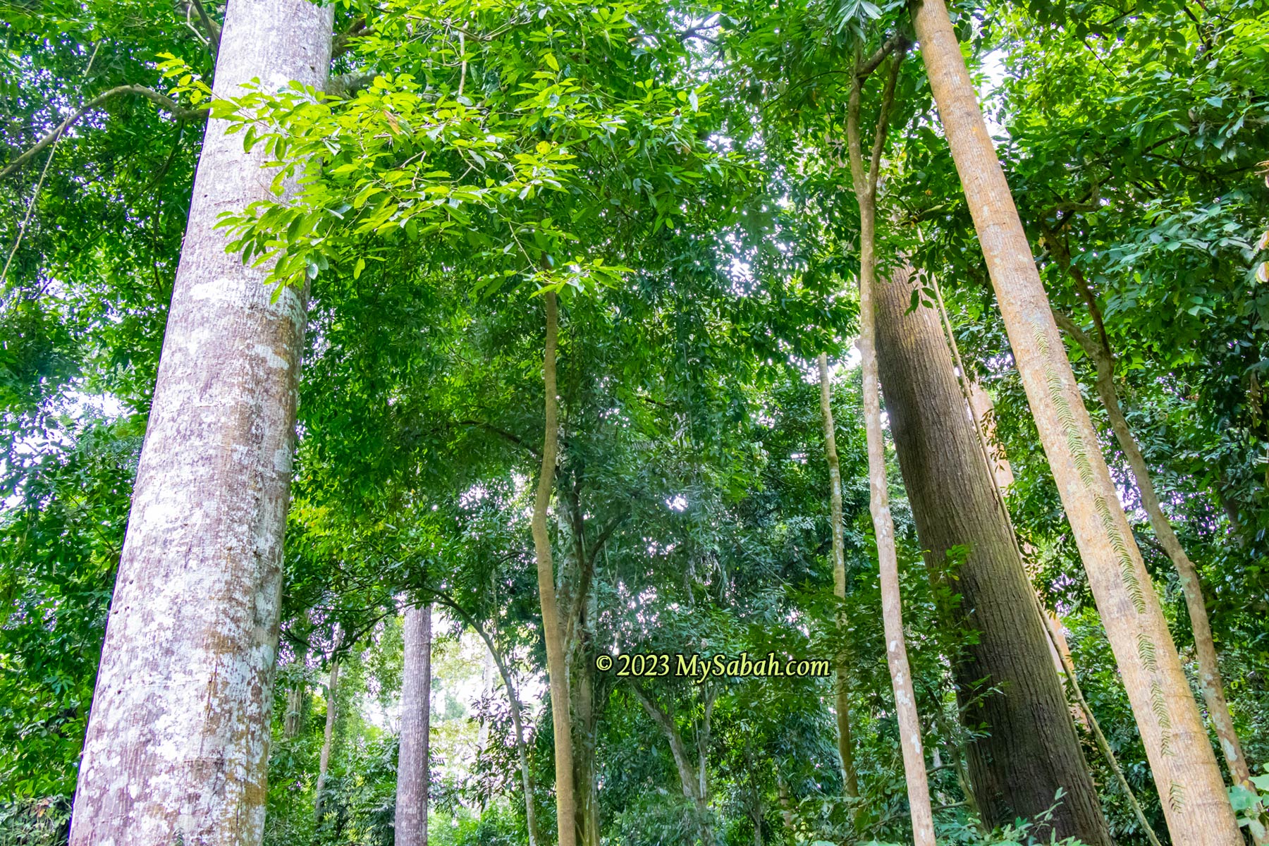
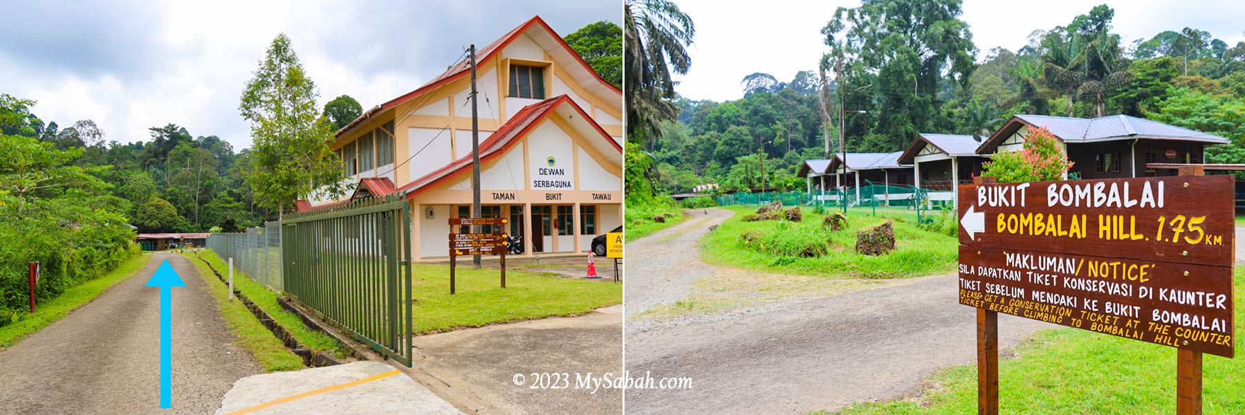
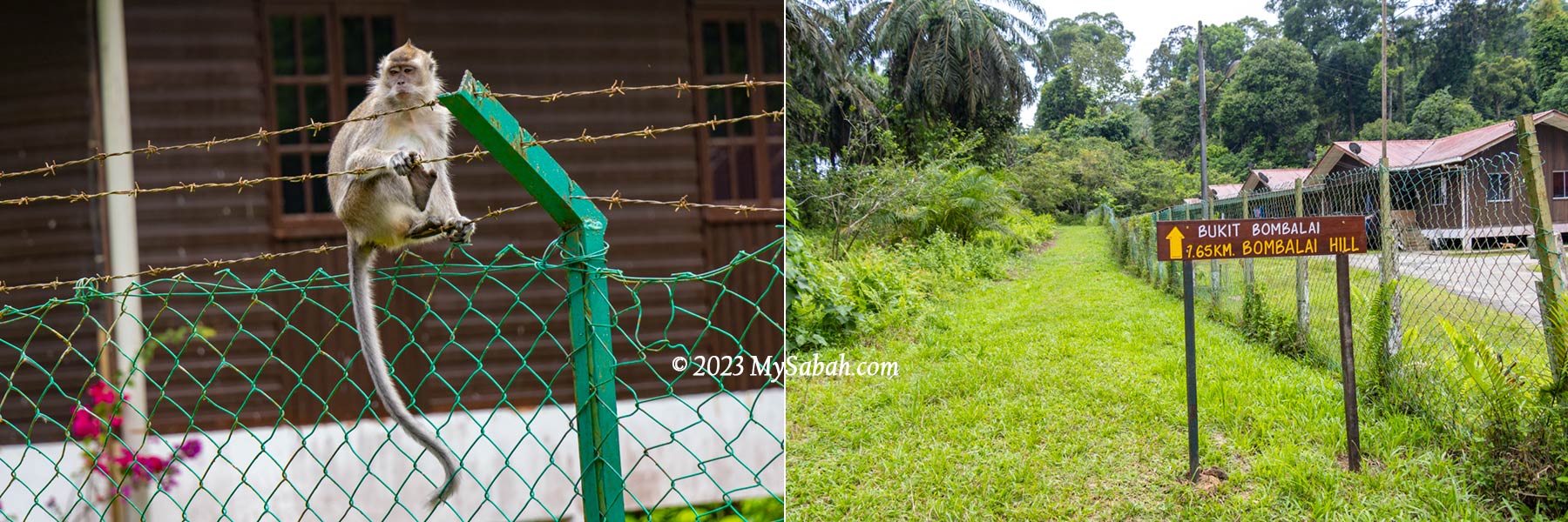
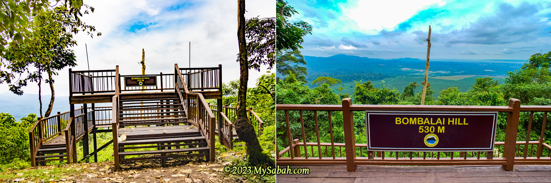
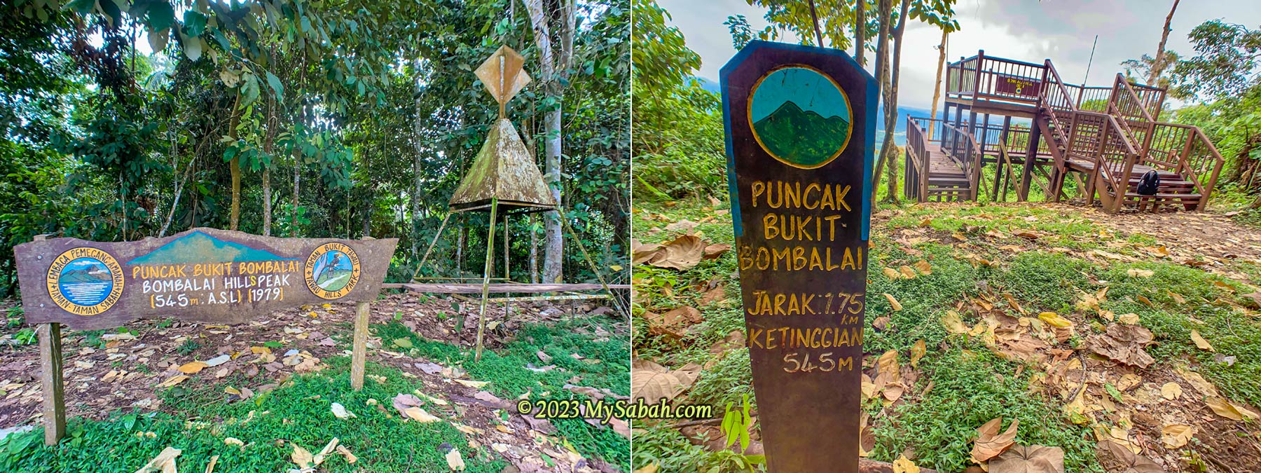
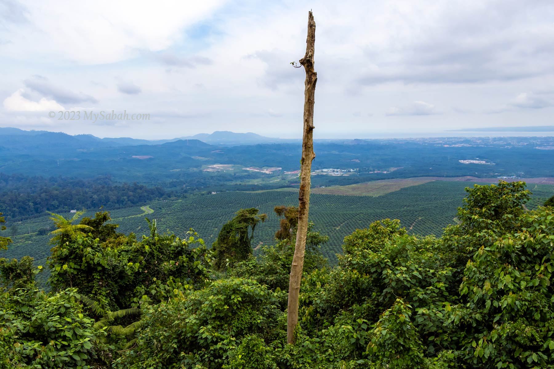
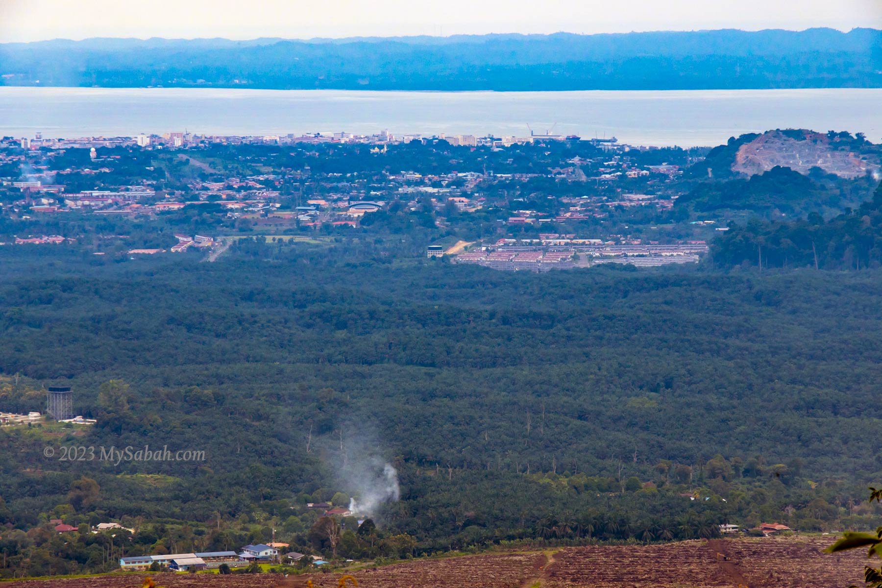
4) Tawau Hills Park
Thanks to its fertile volcanic soil and pristine rivers, Tawau Hills Park (Taman Bukit Tawau) boasts some of the world’s tallest tropical trees. Yet, surprisingly, not many people know about this incredible spot! While birdwatchers, botanists, entomologists, and photographers frequent the park, mycologists should also take note.
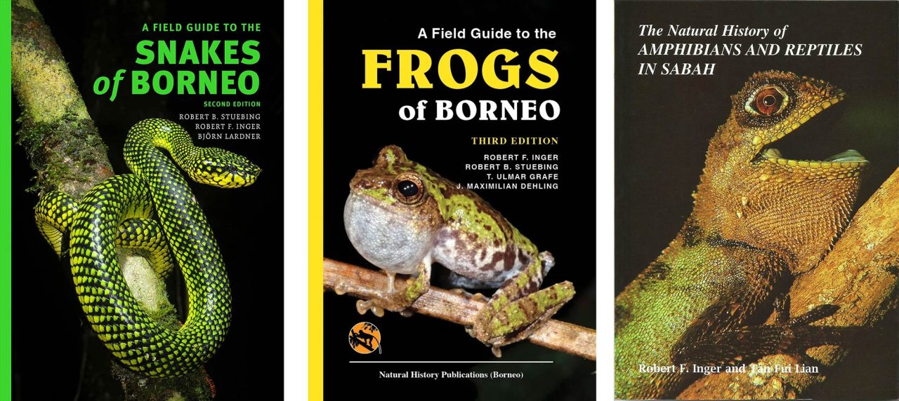
Books about Borneo Fungi
For more information, check out these books:
- The Larger Fungi of Borneo – David Norman Pegler (Natural History Publications, 1997). This book is out of print, but you can find a copy at the Sabah State Library.
- Wild Fungi of Sabah: A Pictorial Documentation – Piakong Mohd. Tuah, Markus Atong, Nur Zaida Zahari (2018) ISBN: 978-967-2166-12-2
Fungi are mysterious, deadly, life-saving, and essential to nature. From toxic mushrooms to medicinal wonders and mind-controlling fungi, they never cease to amaze. Next time you’re in the forest, look closer—you might spot something incredible.
Photos taken in Sabah, Malaysia Borneo