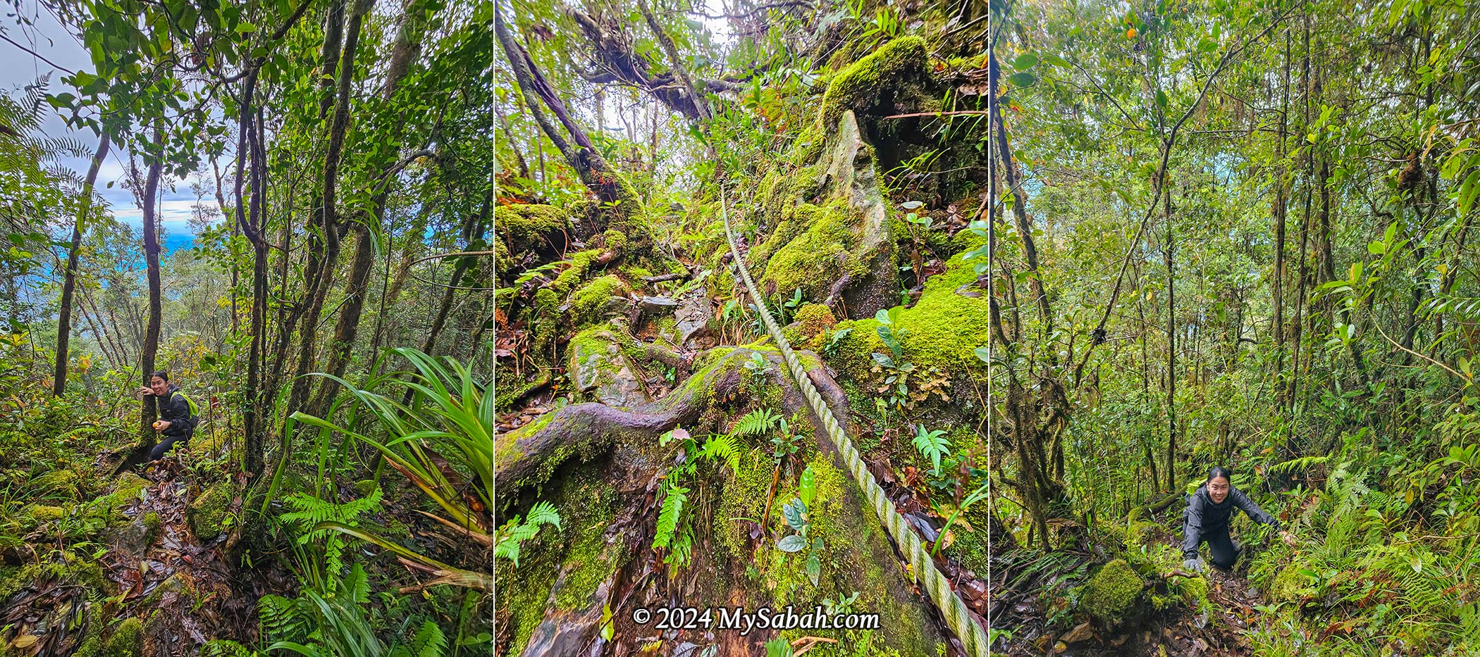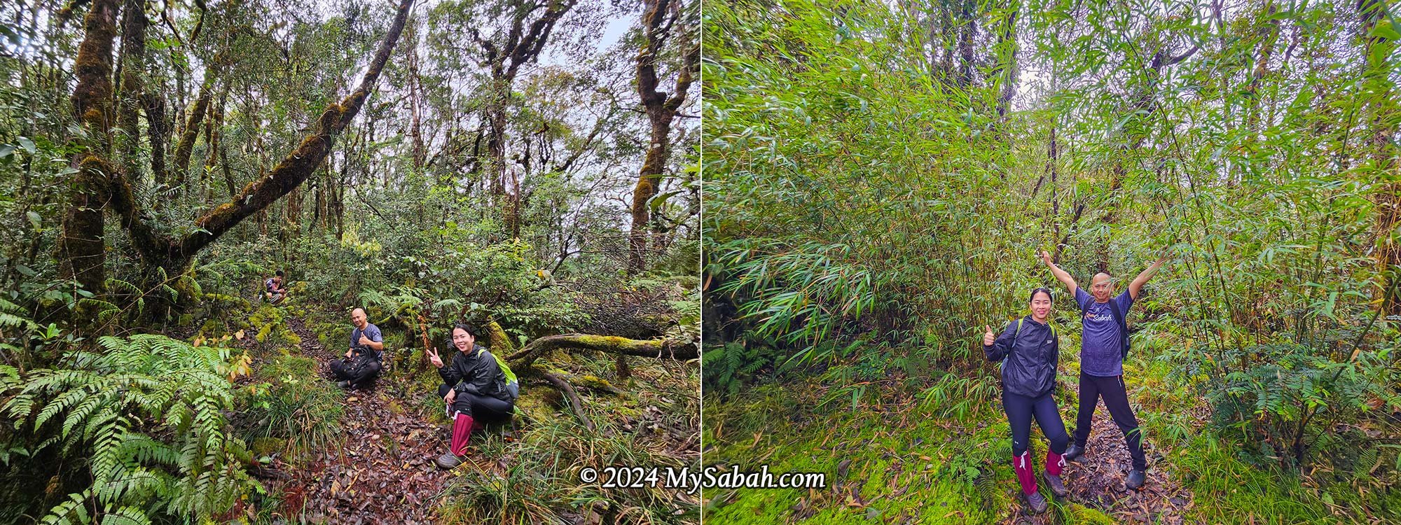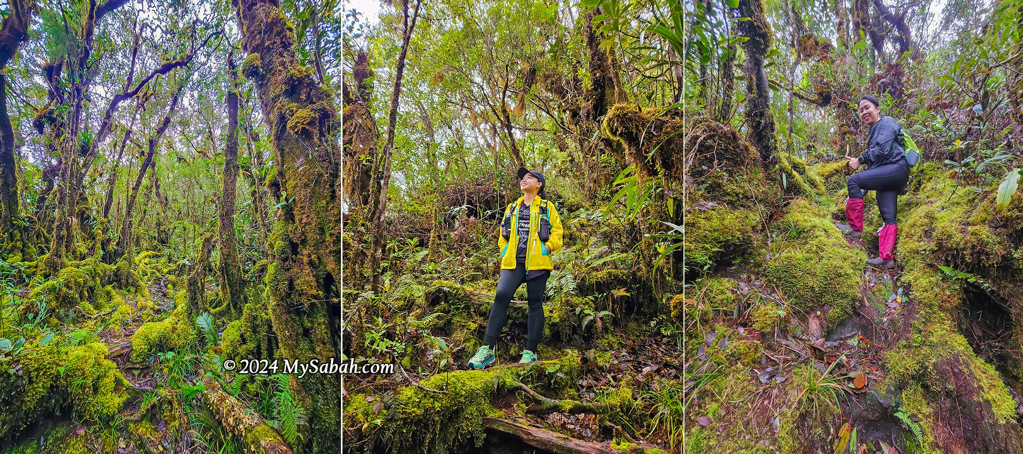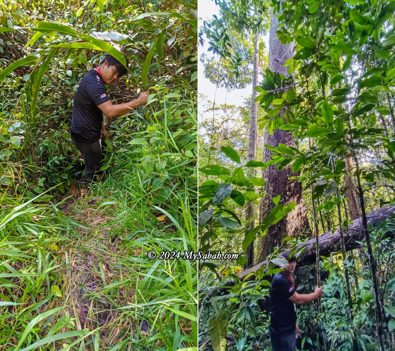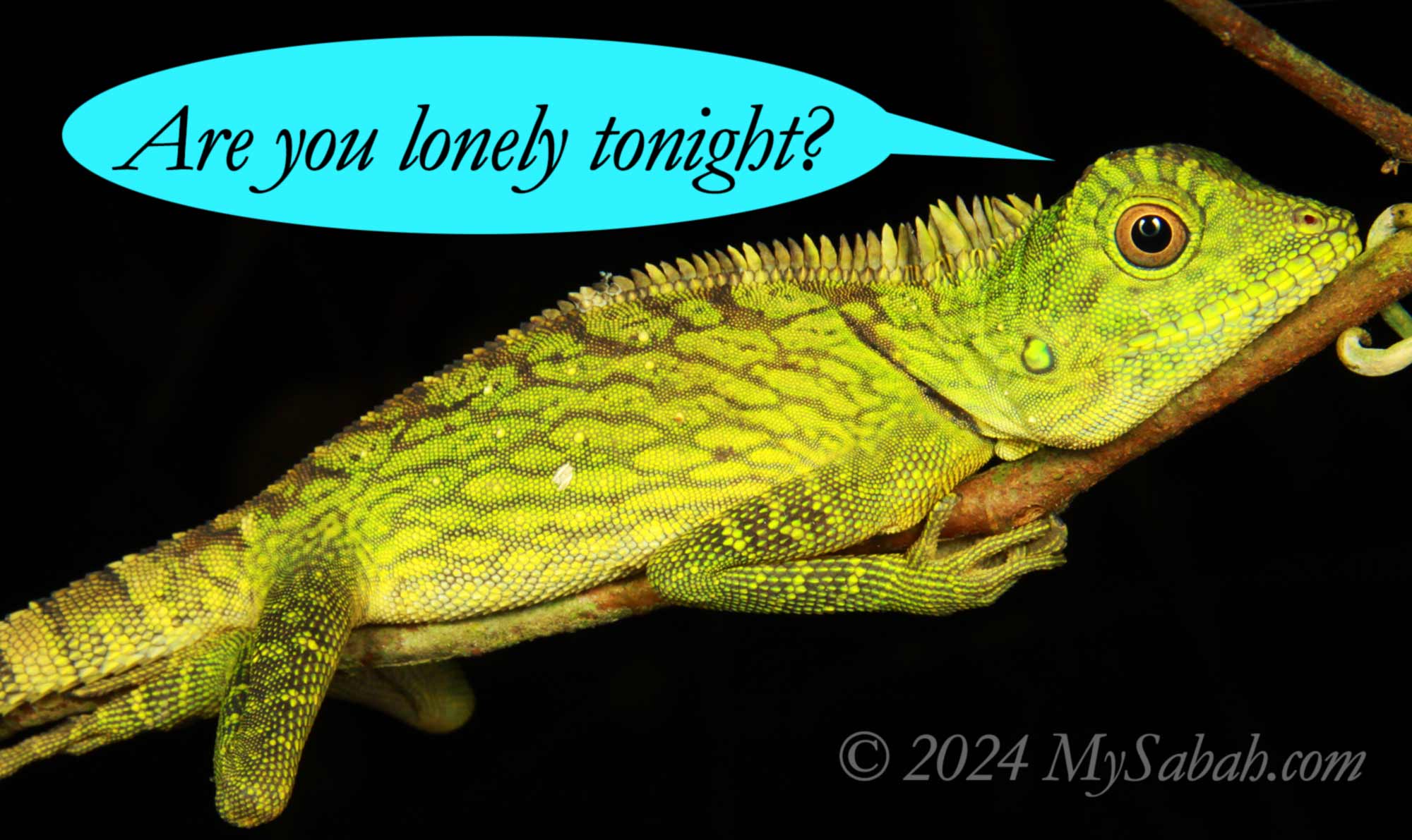
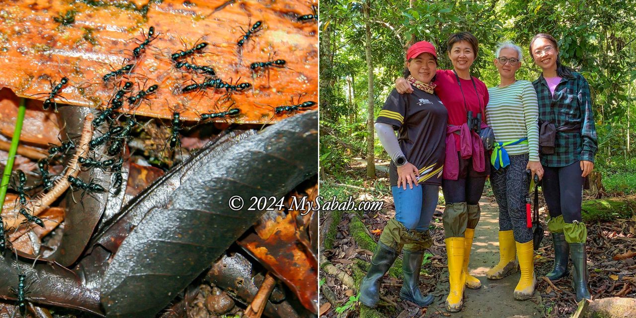
When night falls in Borneo, most tourists call it a day, while there are a group of tourists who can’t wait to enter the dark rainforest. The chorus of frogs and crickets masks their footsteps as they scan the foliage with flashlights, searching high and low for the critters that come alive after sunset. Whenever someone pauses with a gasp of wonder, the others eagerly gather to witness a rare and extraordinary discovery. For these explorers, the night is when the rainforest truly awakens—usually after 7 p.m.

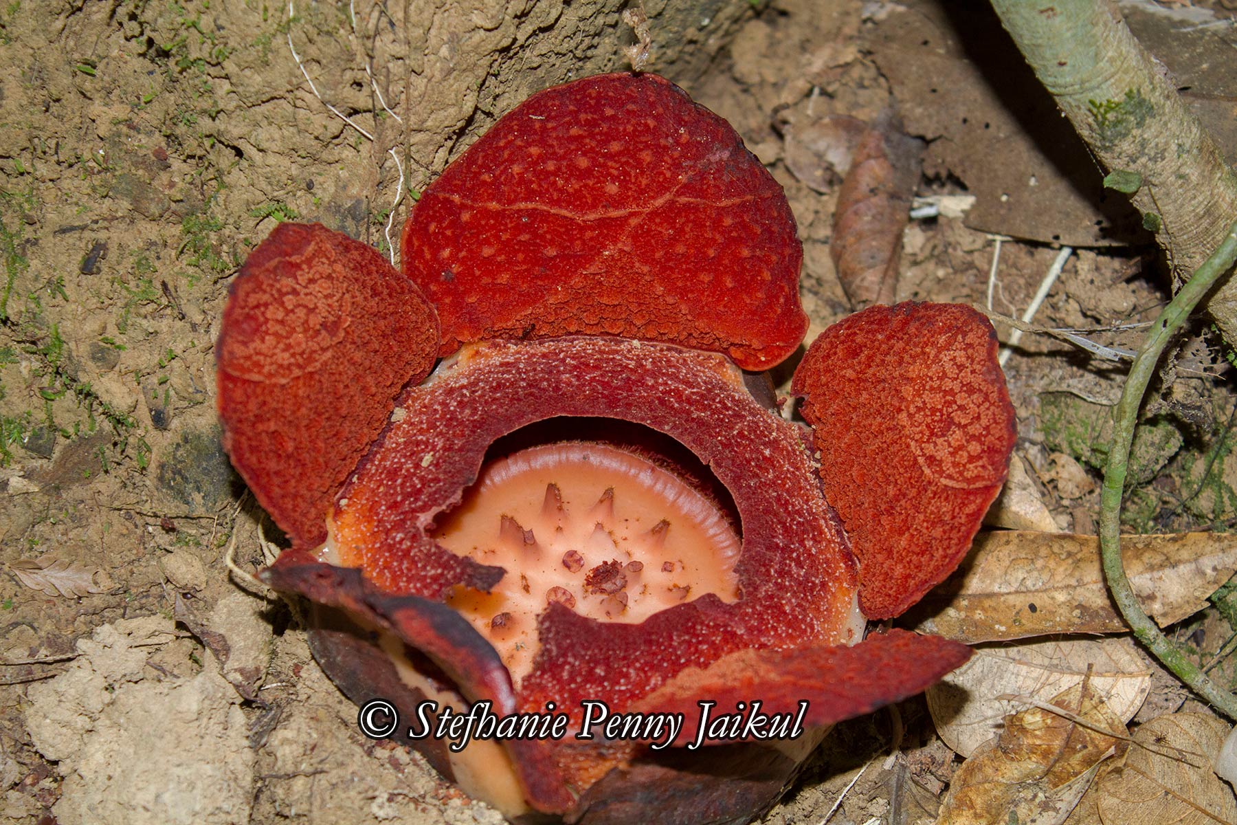
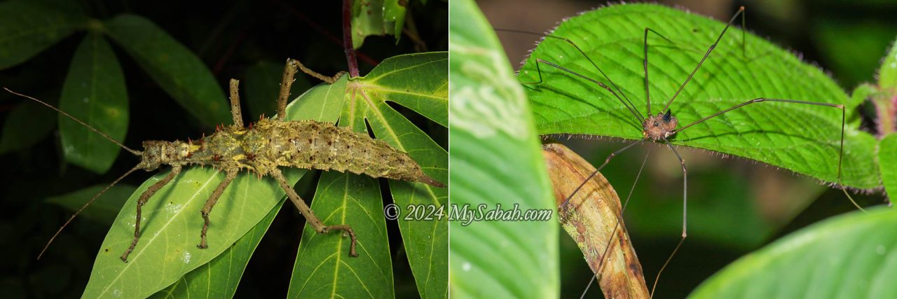
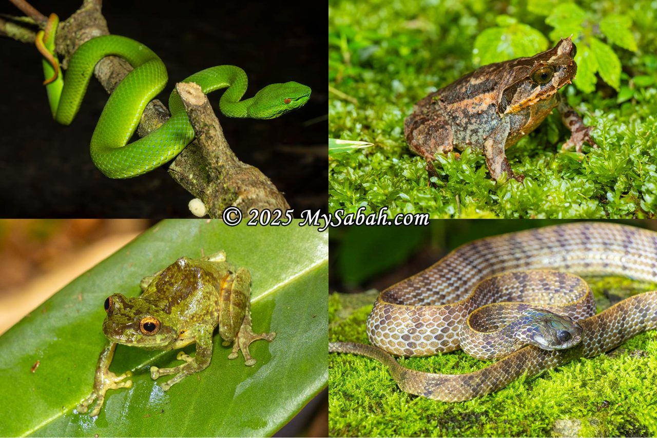
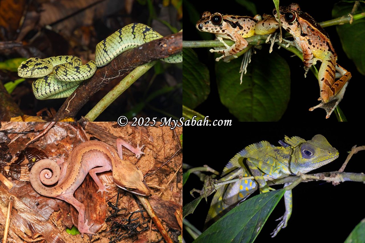
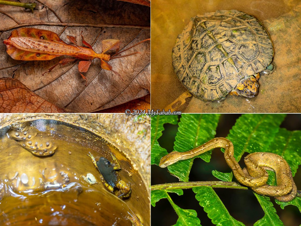
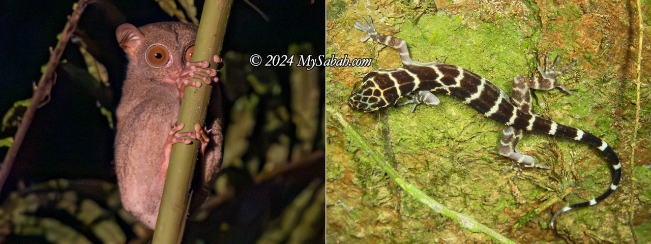
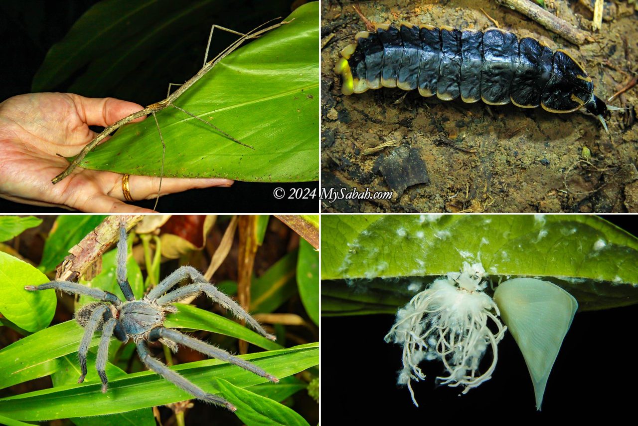
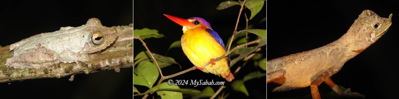
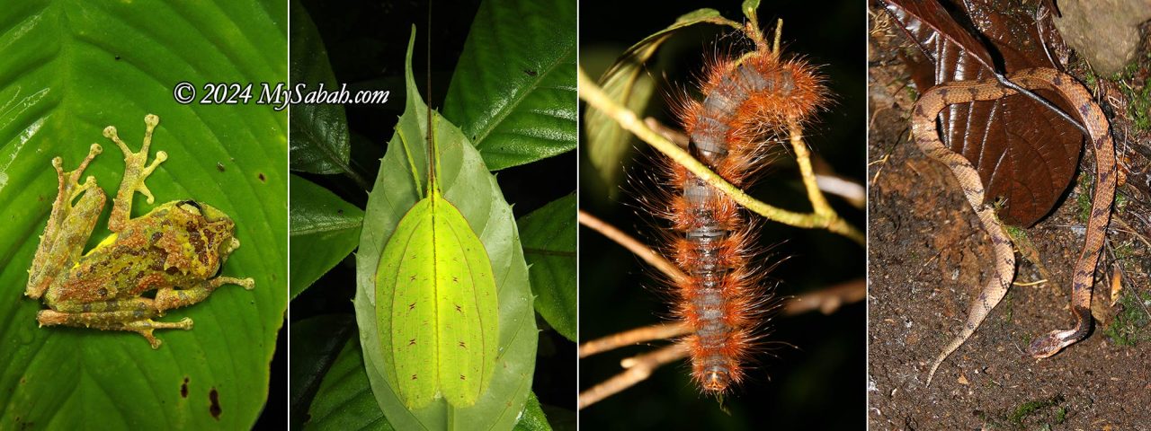
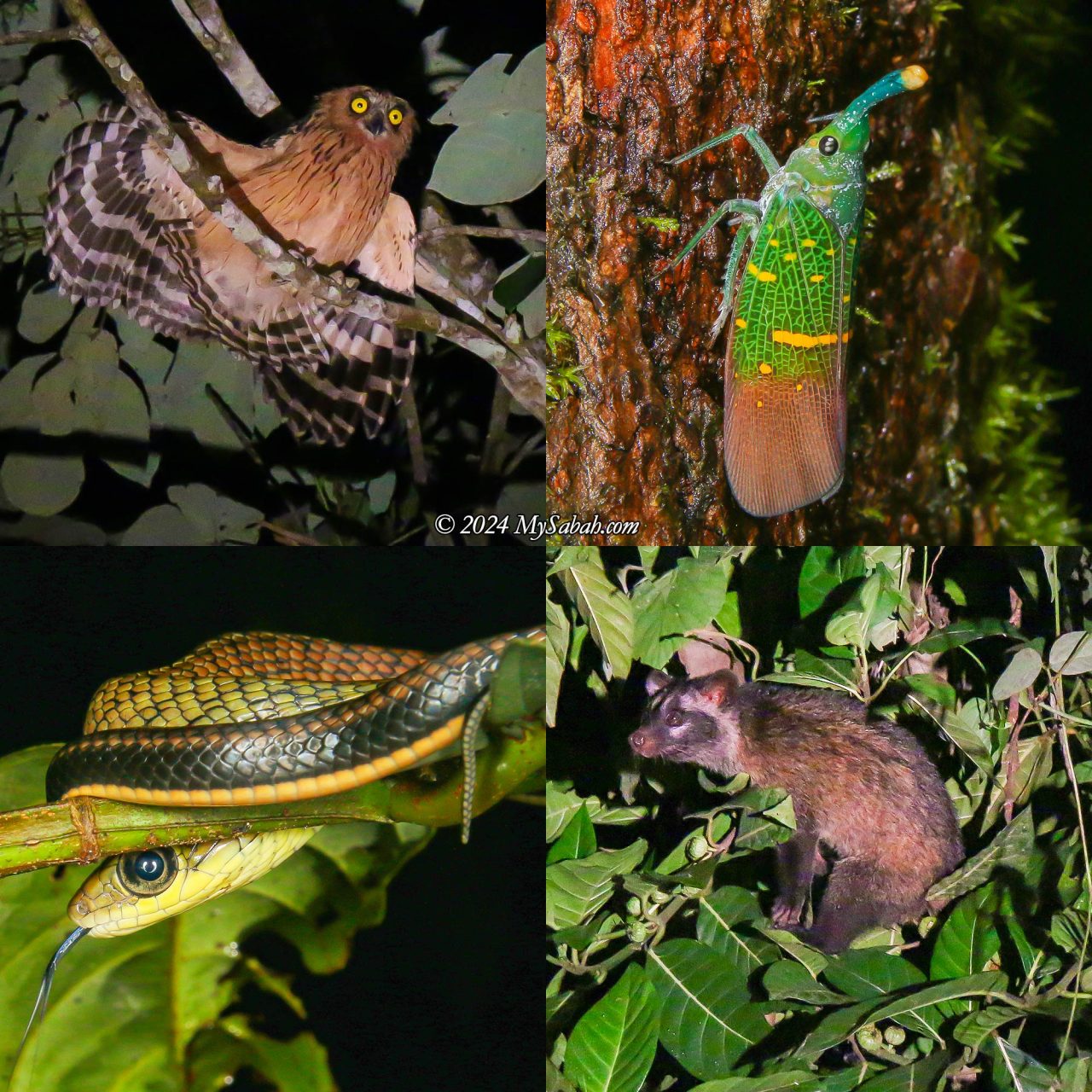
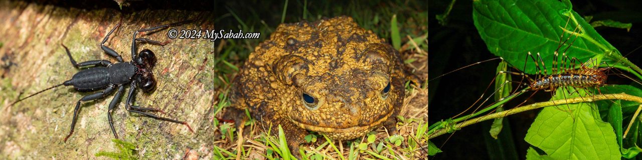
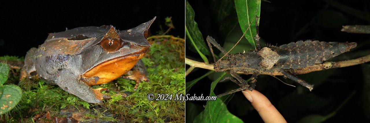
Borneo is one of the top destinations for night walks and herping—a niche activity for enthusiasts seeking reptiles and amphibians in their natural habitats. Sabah, in particular, boasts a rich array of endemic animals with vibrant colours and unique forms. As advertised in National Geographic, Borneo island is renowned for its biodiversity. For instance, a single tree can host hundreds of species. Among the treasures you might encounter are tarsiers, flying frogs, stick insects, leopard cats, and snakes.

For some, bugs and snakes might not seem endearing. However, this fear often stems from a lack of understanding, exacerbated by modern lifestyles that disconnect us from nature. Today, children may even shy away from chickens—a far cry from the days when our grandparents shared stories of catching crickets, collecting fireflies for lanterns, keeping scorpions as pets, or enjoying frog delicacies.

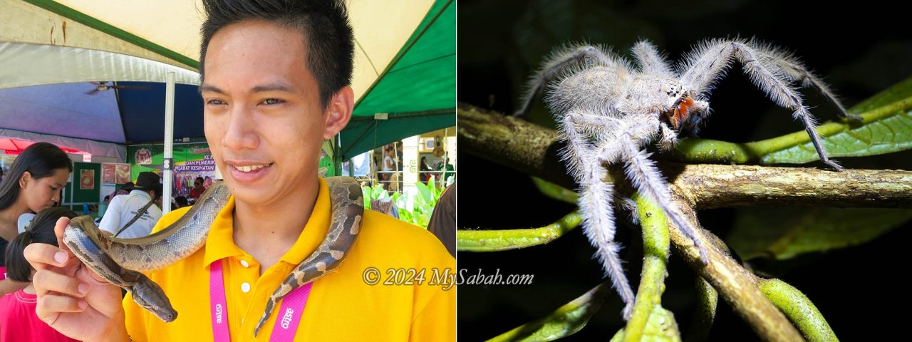
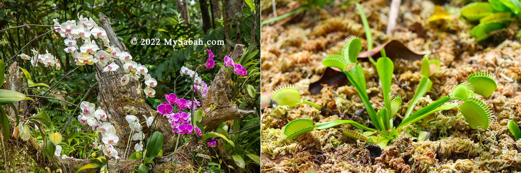
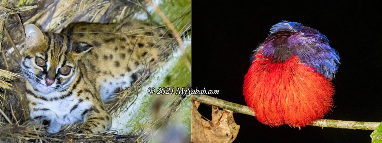
If you find wild critters fascinating and night walks thrilling, you’re in luck! Sabah boasts several fantastic spots where you can observe a diverse range of wildlife, including frogs and toads, tarsiers, slow lorises, flying squirrels, civets, badgers, leopard cats, lizards, snakes, geckos, birds, stick insects, spiders, snails, millipedes, and moths. It’s a dream for macro photographers, as many creatures stay still, making close observation and photography easy.

Best Locations
The two best locations for night walks and herping are Kinabalu Park and Poring. These destinations are popular because they offer a combination of highland and lowland habitats and are only 19 km apart. Note that most locations require permits or guides for night walks. If you’re searching for rare and endemic frogs, lizards, and snakes in Borneo, consider joining the Borneo herping tour led by Kurt Orionmystery.
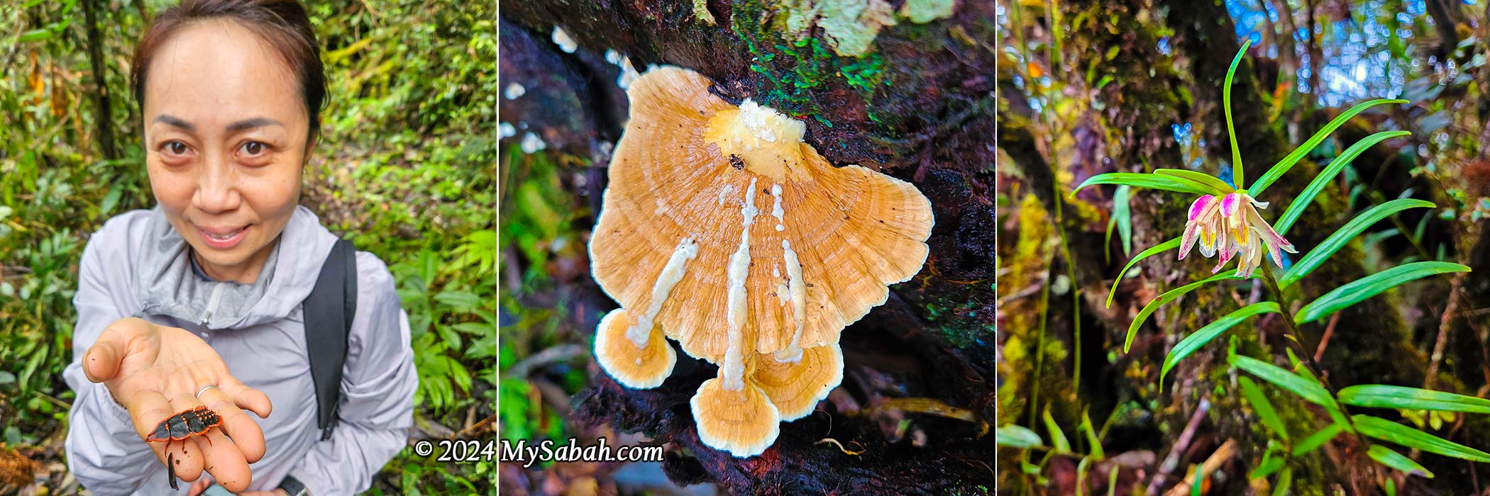
1) Kinabalu Park (Kundasang)
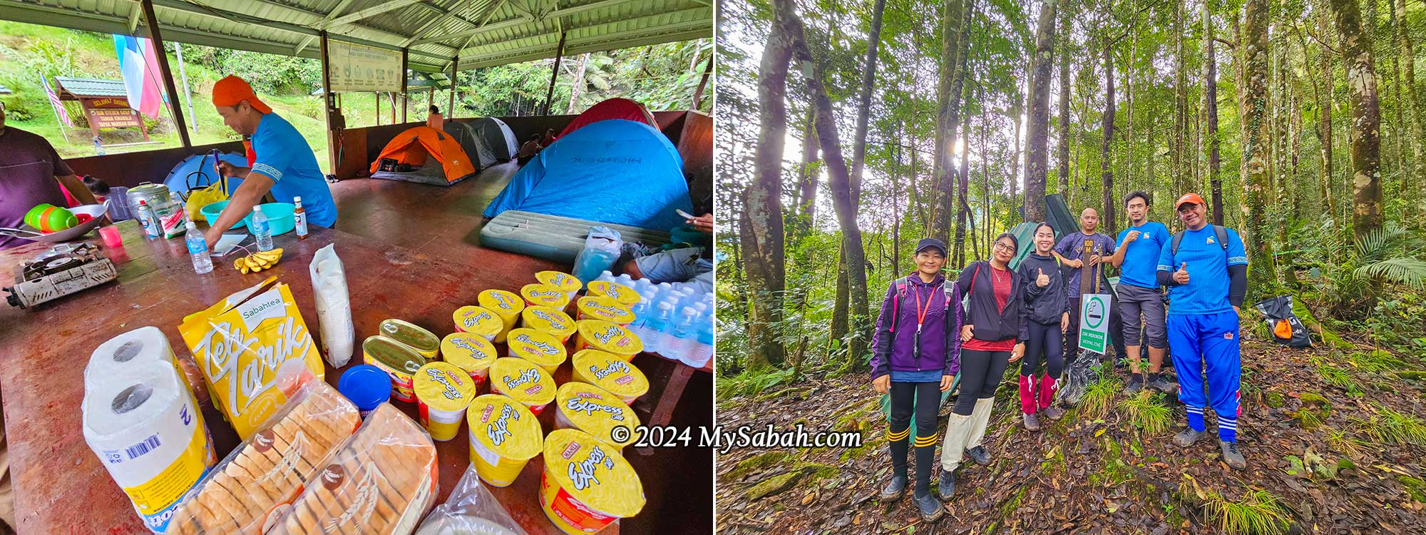
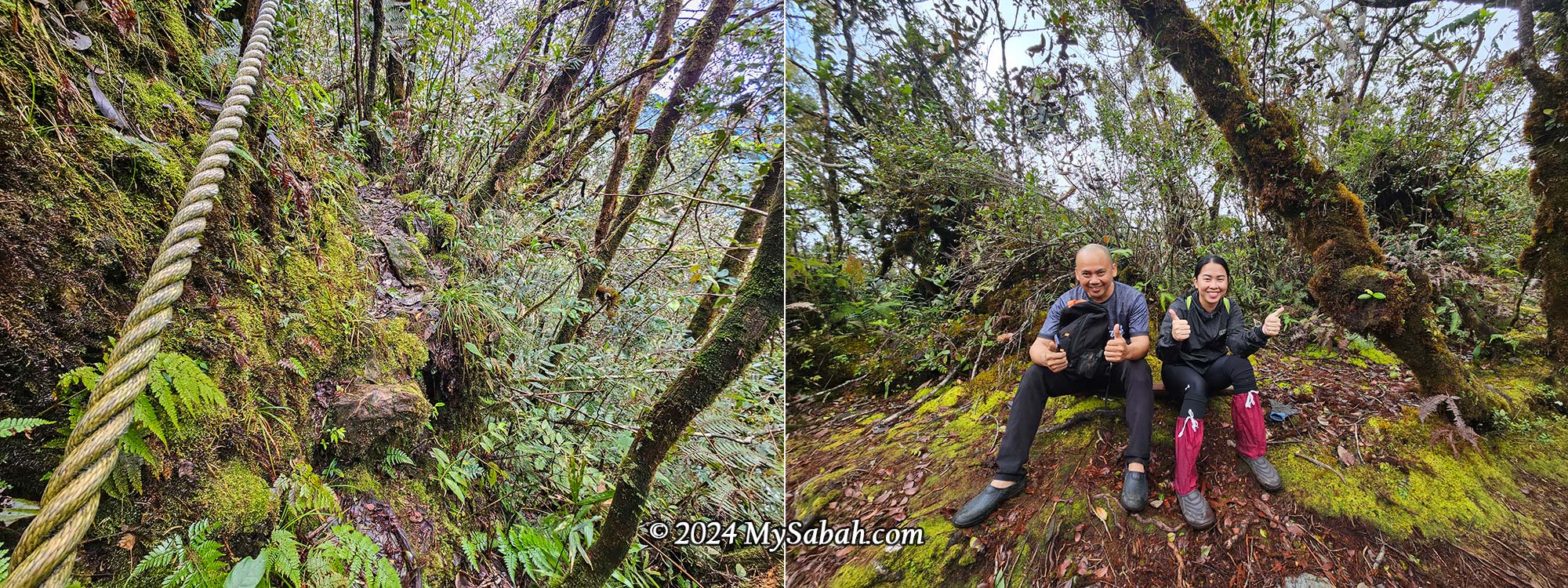
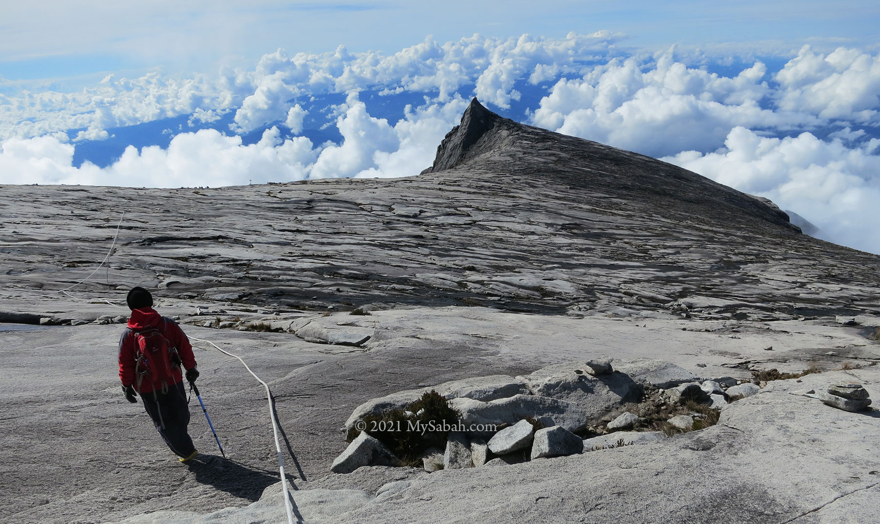
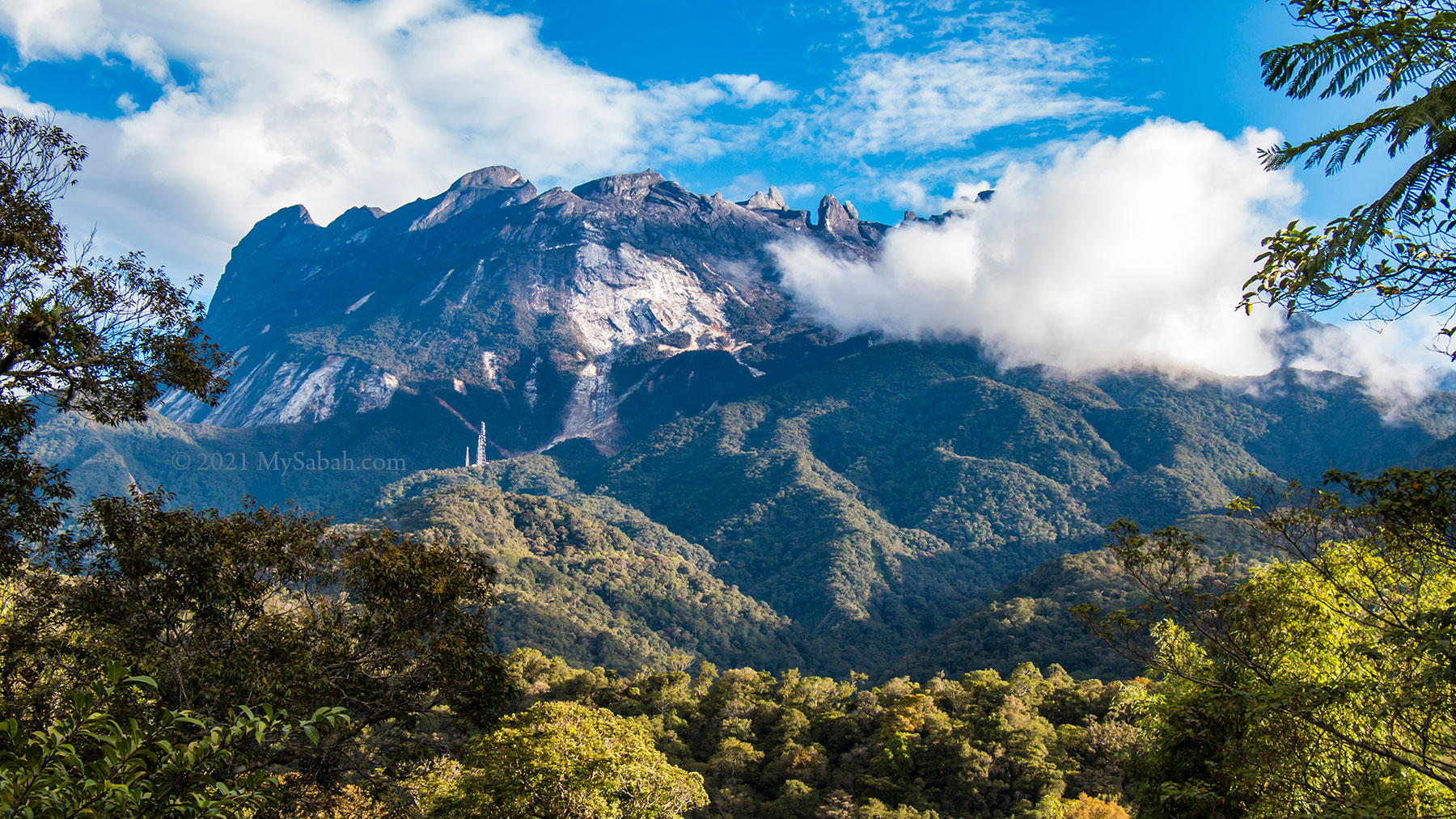
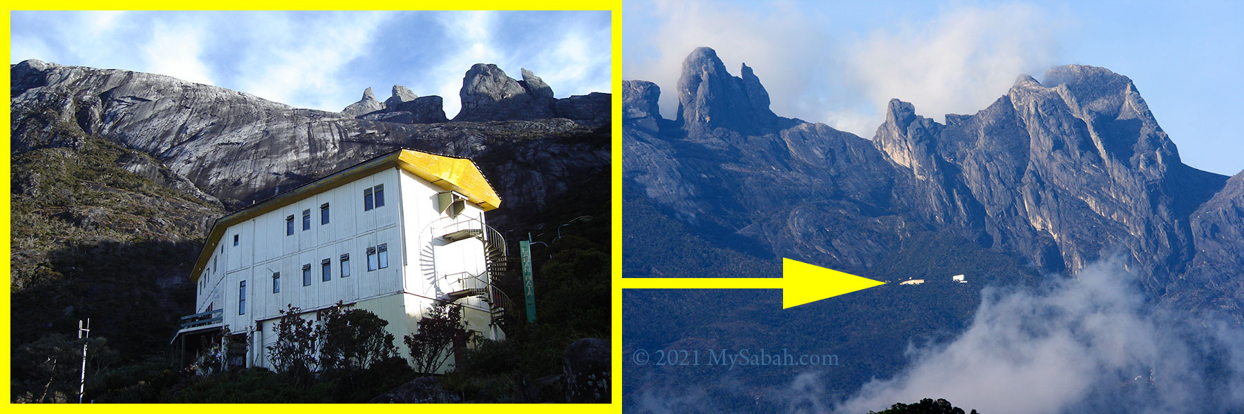
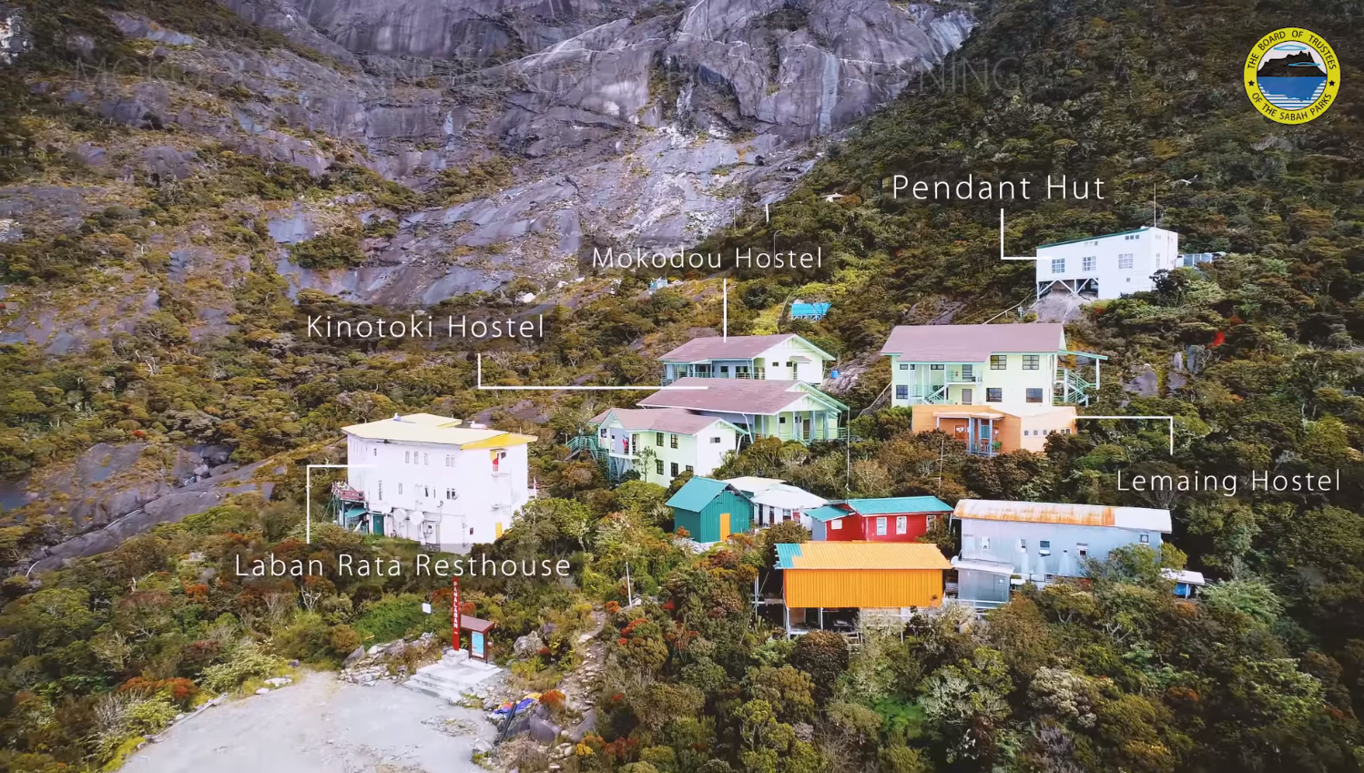
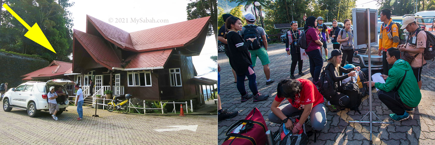
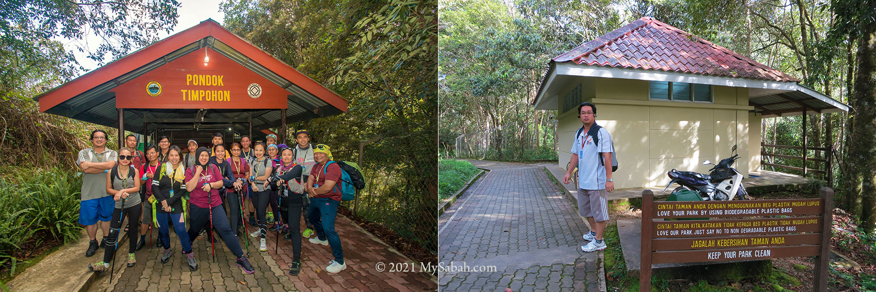
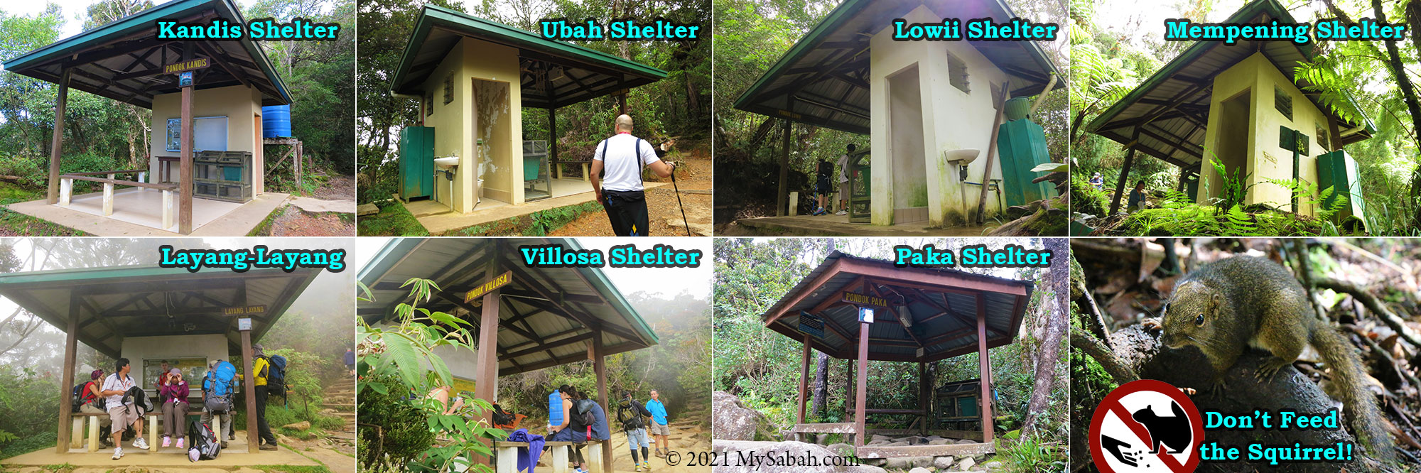
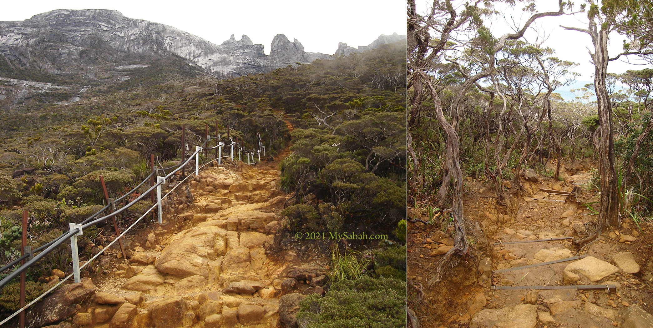
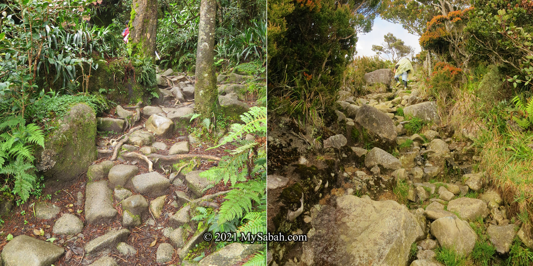
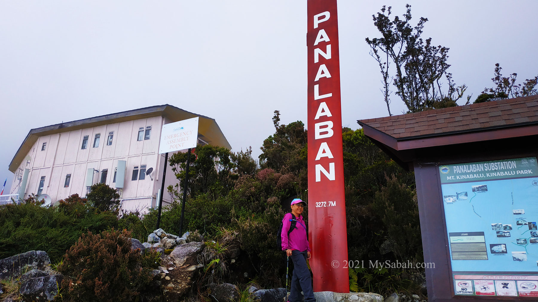
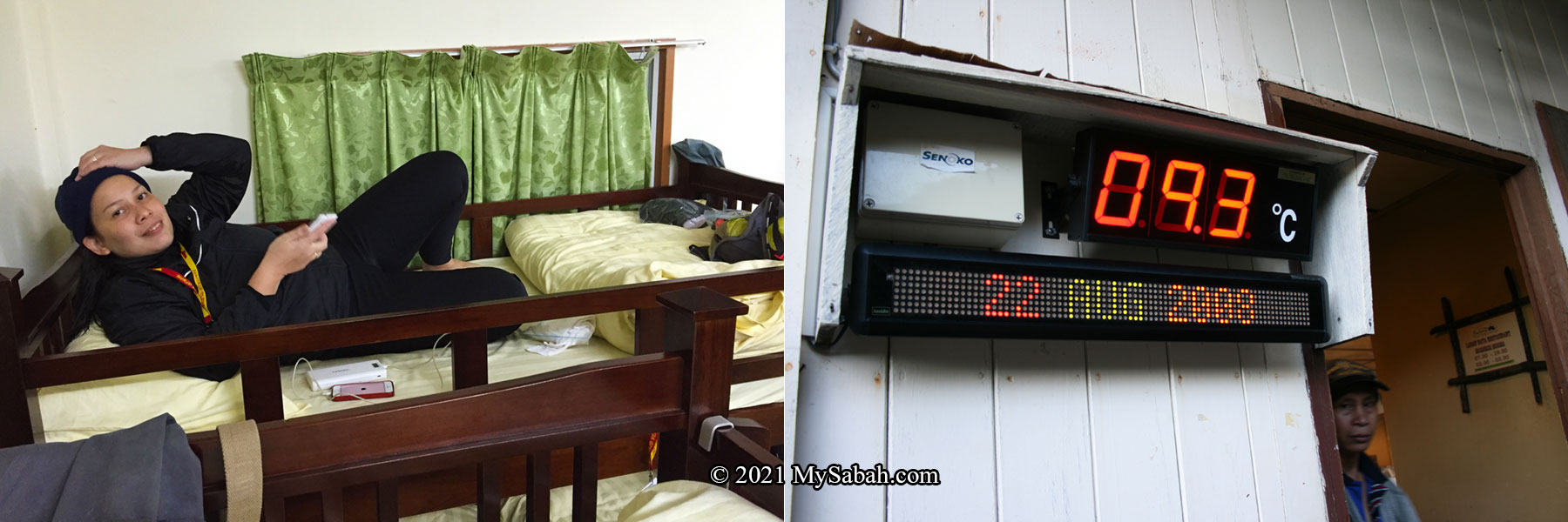
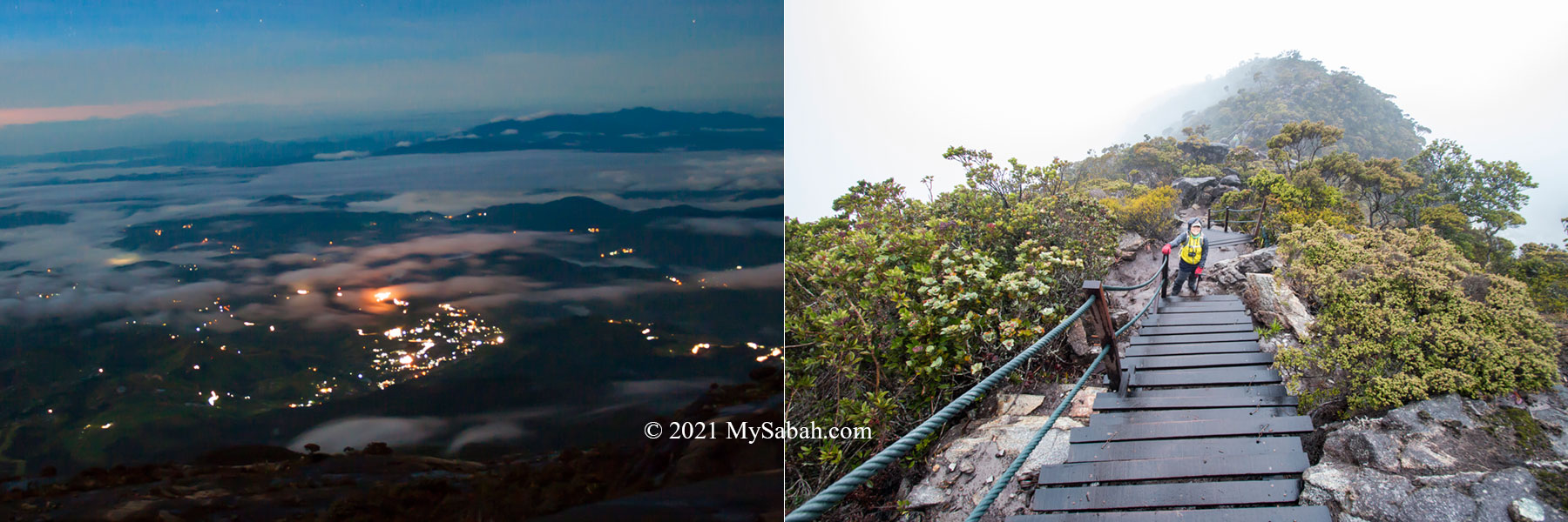
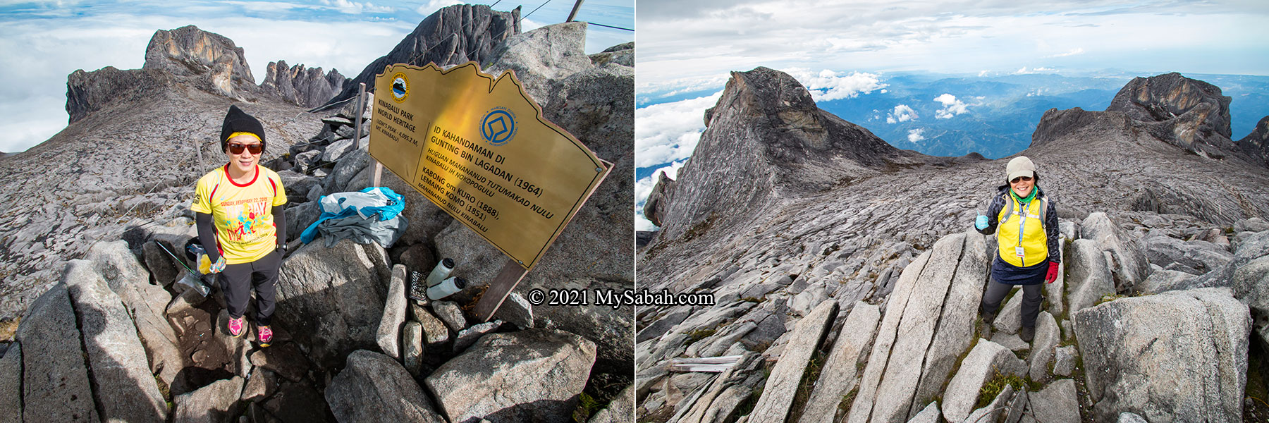
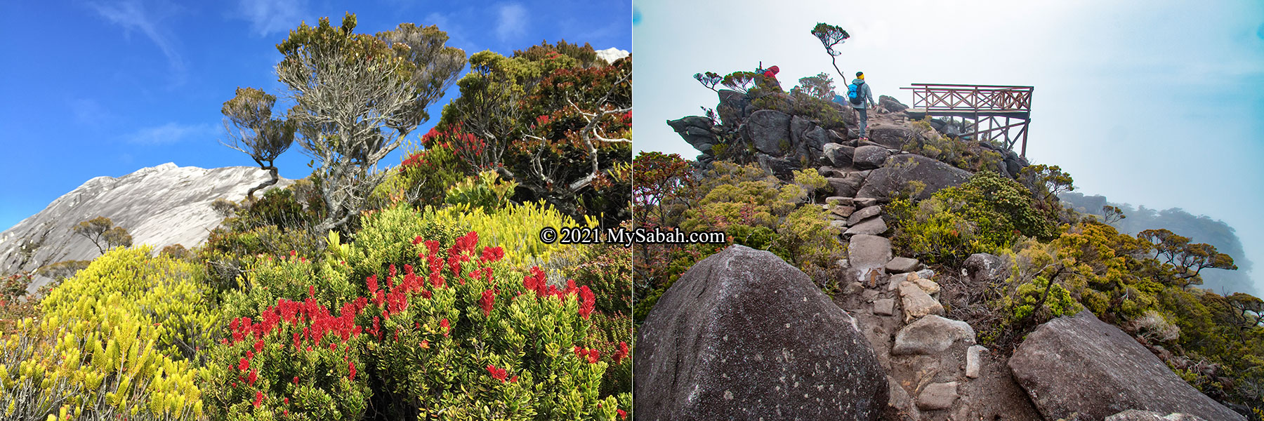
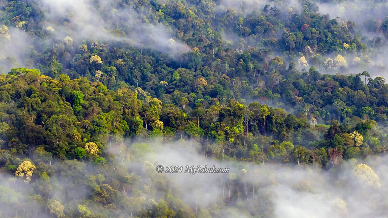
Kinabalu Park, Malaysia’s first UNESCO World Heritage Natural Site, showcases the biodiversity of Borneo. Situated at approximately 1,563 metres (5,128 feet) above sea level, this montane forest is ideal for night walks. Visitors must register with Sabah Parks during daytime office hours and hire a guide (fees apply).

Possible Sightings
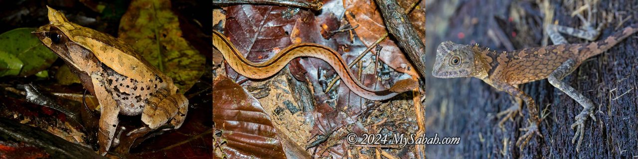
🐍 Malcom’s Pit Viper, Dragon Snake, Sabah Pit Viper, Chasen’s Mountain Pit Viper, Kinabalu Brown Pit Viper, Black Striped Coral Snake, Schmidt’s Reed Snake, Dark-headed Black Snake, Borneo Red Snake, Borneo Black Snake, Dark Spined Kukri Snake, Candy Cane Snake, Gold White-Spotted Cat Snake, Sabah Slender Slug Snake, Stuebing’s Slug Snake, Inger’s Slug Snake
🦎 Kinabalu Crested Lizard, Sabah Eyebrow Lizard, Mocquard’s Eyebrow Lizard, Kinabalu Gliding Gecko, Kinabalu Bent-toed Gecko, Kinabalu Litter Skink
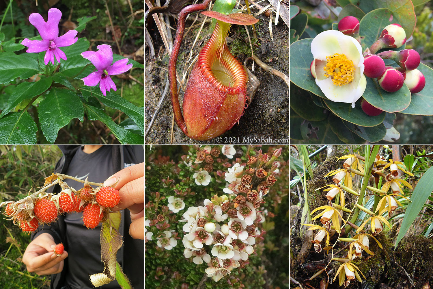
🐸 Kobayashi’s Horned Frog, Kinabalu Horned Frog, Mossy Bush/Shrub Frog, Kinabalu Sticky Frog, Sharp-nosed Tree Frog, Green Bush Frog, Kinabalu Litter Frog
🐾 Caecilians, Civet Cat
Recommended Videos
- Can we find EVERY PIT VIPER in Borneo??? Part 1
- The Wonders of Kinabalu National Park 4K: Sabah, Borneo: Snakes, Frogs, Lizards, Moths, Spiders, etc
- FACE to FANG With One of Asia’s Rarest Snakes!
- IS THIS THE WORLDS COOLEST FROG?! Herping Mount Kinabalu, Borneo
- Tarantulas, Centipedes, and Vipers! Oh my! Night hiking in Borneo!
- The Frogs of Kinabalu National Park, Sabah: Borneo Nature
- Malcolm’s Pitviper 神山青竹絲 & Kinabalu Horned Frog 角蛙
- Caecilian 蚓螈 & Giant Forest Scorpion 長爪雨林蠍! Sabah, Borneo
2) Poring (Ranau)
At 550 metres (1,804 feet) above sea level, Poring features a tropical rainforest home to lowland species. There are two night walk spots: one within Poring Hot Springs (a substation of Kinabalu Park) and the other at Lupa Masa, a private area adjacent to the park.

Possible Sightings
🐍 Red-headed Krait, Sumatran Pit Viper, Bornean Leaf-nosed Pit Viper, Bornean keeled Pit Viper, Dragon Snake, Red-tailed Racer, Triangle Keelback, Elegant Bronzeback, Jasper Cat Snake, Common Mock Viper, Blunt-headed Slug Snake
🦎 Giant Angle-headed Dragon, Forest Dragon, Cat Gecko, Gliding Gecko, Bent-toed Gecko
🐸 Hole-in-the-head Frog, Saffron Bellied Frog, Wallace’s Flying Frog, Cinnamon Frog, White-lipped Frog, Spiny Slender Toad, File-eared Frog, White-eared Tree Frog
🐾 Caecilian (Ichthyophis sp.)
For guided tours at Poring Hot Springs, register with Sabah Parks. For herping, contact Lupa Masa via their Facebook.
Recommended Videos
- I found the PRETTIEST SNAKE deep in the Bornean Jungle!
- Snakes EVERYWHERE in the Bornean Jungle!
- Most Incredible Frog! 最神奇的蛙! – Borneo Jungle 2nd Night 婆羅洲叢林第二晚
- The Magic of Borneo’s Rainforest 4K: Herping Poring Springs National Park
3) Tawau Hills Park (Tawau)
Tawau Hills Park, locally known as Taman Bukit Tawau, is a protected lowland forest and water catchment area on Sabah’s east coast. Home to some of the world’s tallest tropical trees, this park is a paradise for birdwatching, hiking, and herping, thanks to its sprawling rivers and streams teeming with life. The park is also rich in wildlife, featuring creatures like maroon leaf monkeys and hornbills. For accommodation and guiding services, reach out to 1Stop Borneo.

Possible Sightings
🐍 Tawau Banded Reed Snake, Borneo Blood Phyton, Borneo Keeled Pit Viper, Sumatran Pit Viper, Red-headed Krait, Jasper Cat Snake, Banded Malayan Coral Snake, Jeweled Kukri Snake, Striped Kukri Snake, White-Spotted Cat Snake, Dark-necked Snail-eating Snake, Painted Mock Viper, White-bellied Rat Snake
🦎 Borneo Forest Dragon, Green Crested Lizard, Black-lipped Eyebrow Lizard, Ornate Earless Agamid, Kuhl’s Flying Gecko
🐸 Rough Horned Frog, Borneo Big Sticky Frog, Banded Tree Frog, Borneo Flying Frog, Jade Tree Frog, Mahogany Frog, Sabah Rainbow Frog, Kinabalu Dwarf Mountain Frog, Spiny Wart Frog
🐾 Leopard Cat, Marbled Cat, Moonrat, Tarsier, Palm Civet, Slow Loris, Malayan Porcupine
Recommended Videos
- Snakes and Reptiles of Tawau Hills Park – (Borneo part 4)
- Hidden Gems of Tawau Hills National Park Borneo 4K
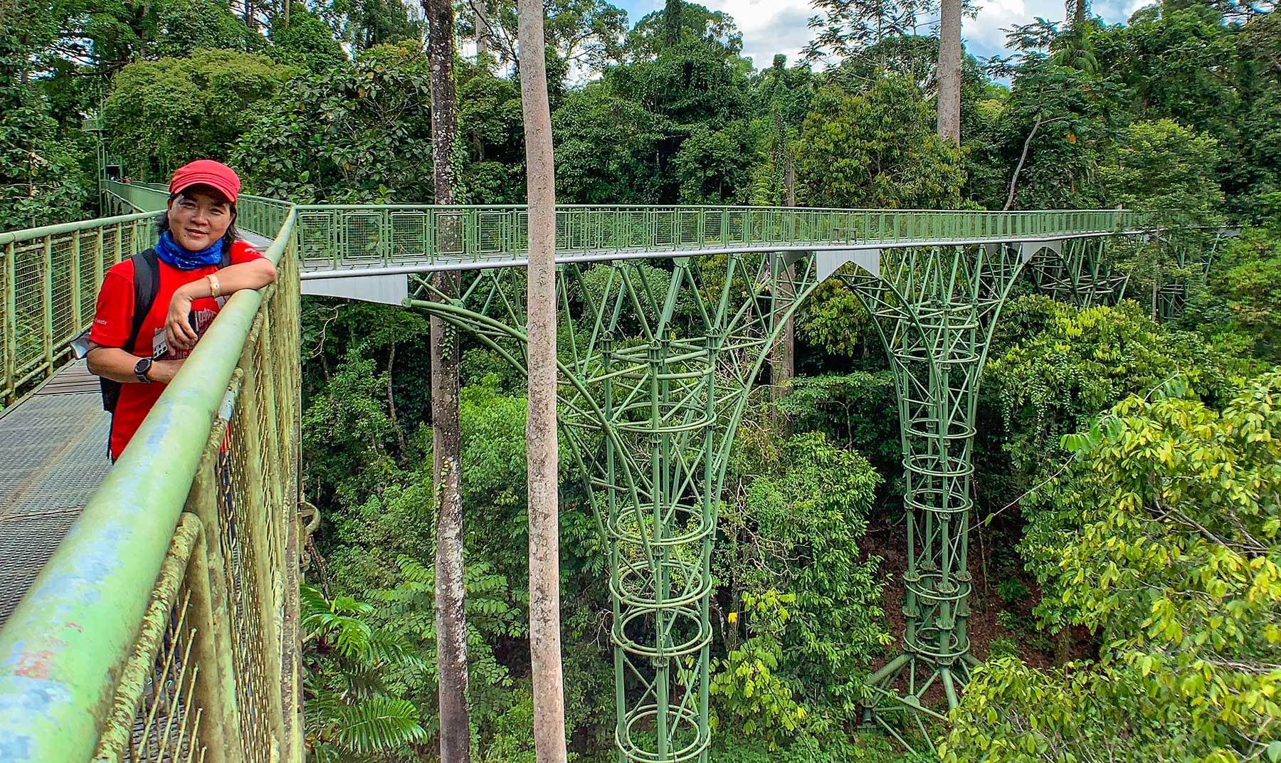
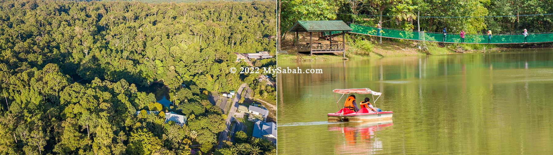
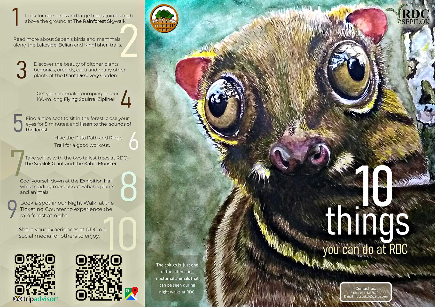
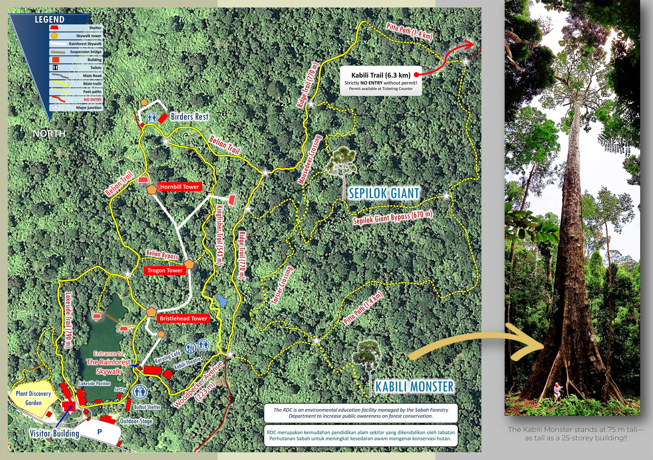
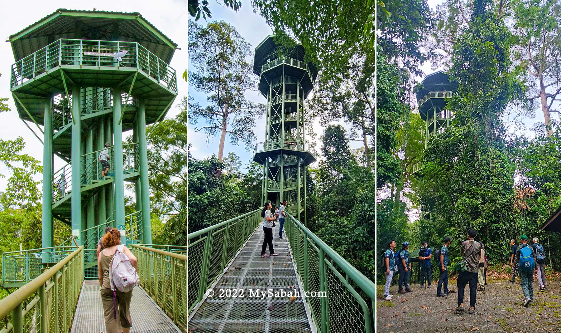
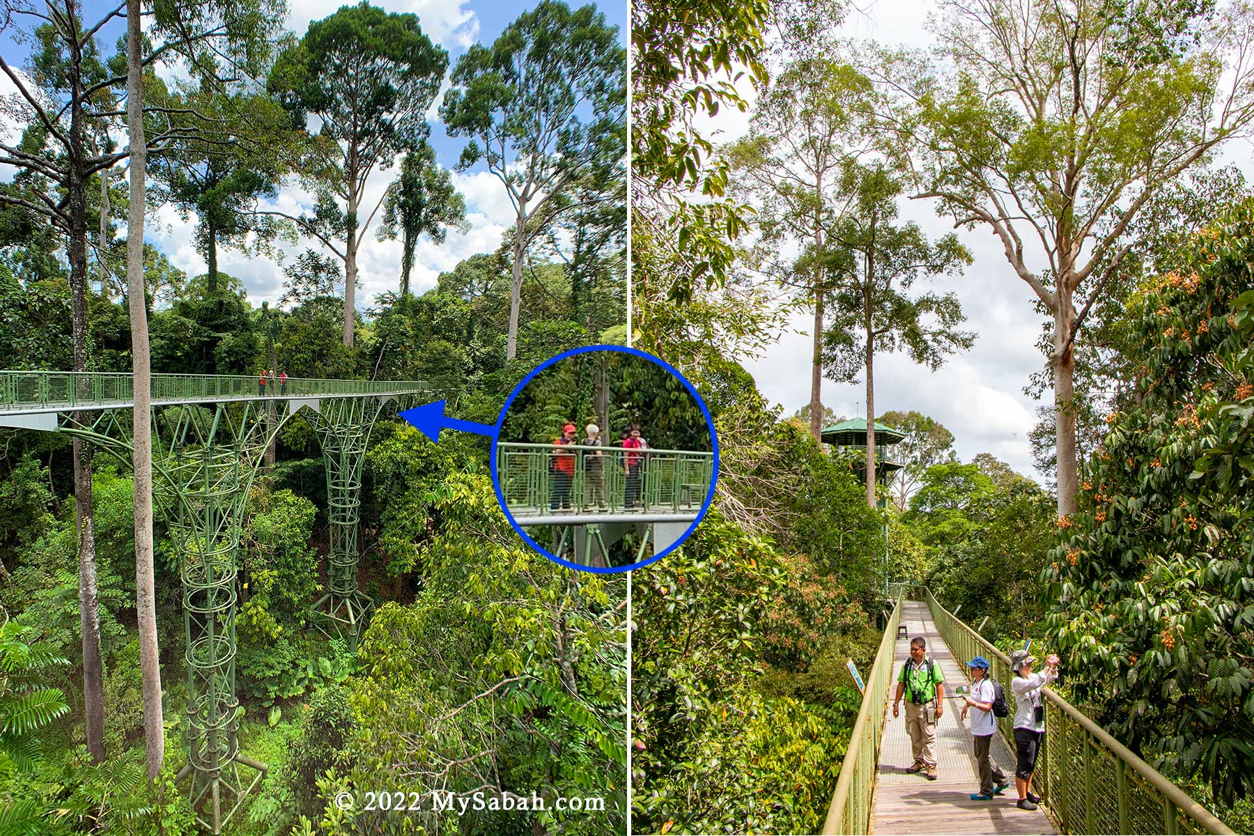
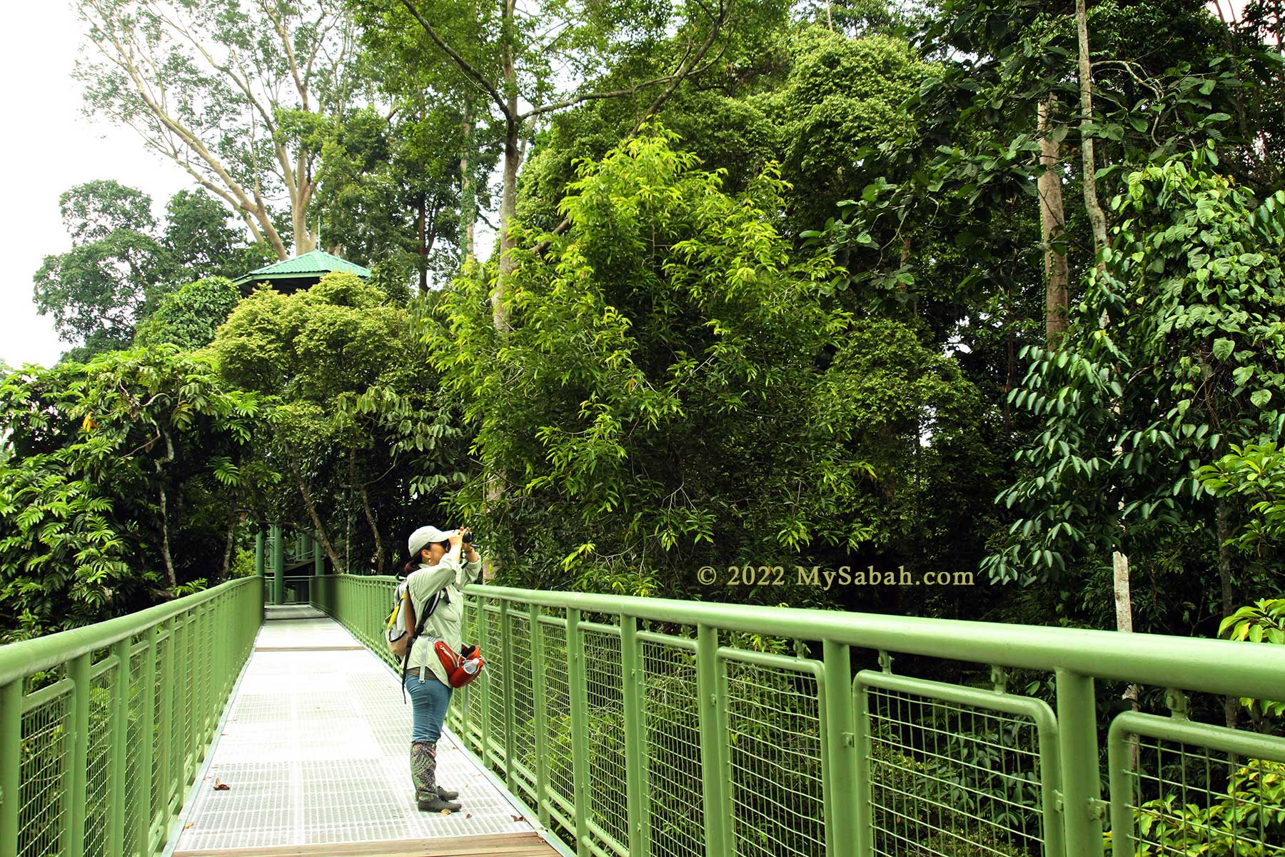
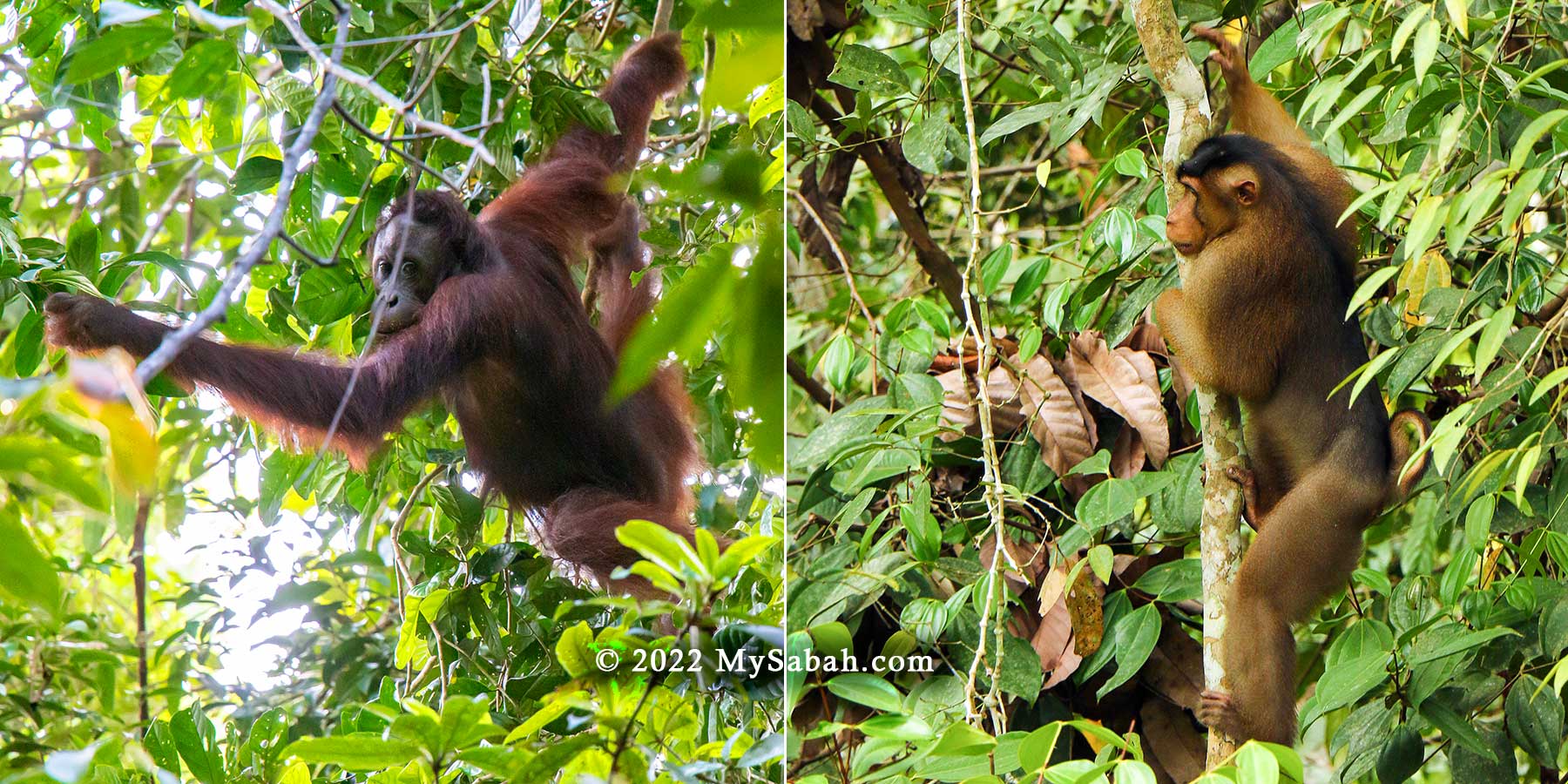
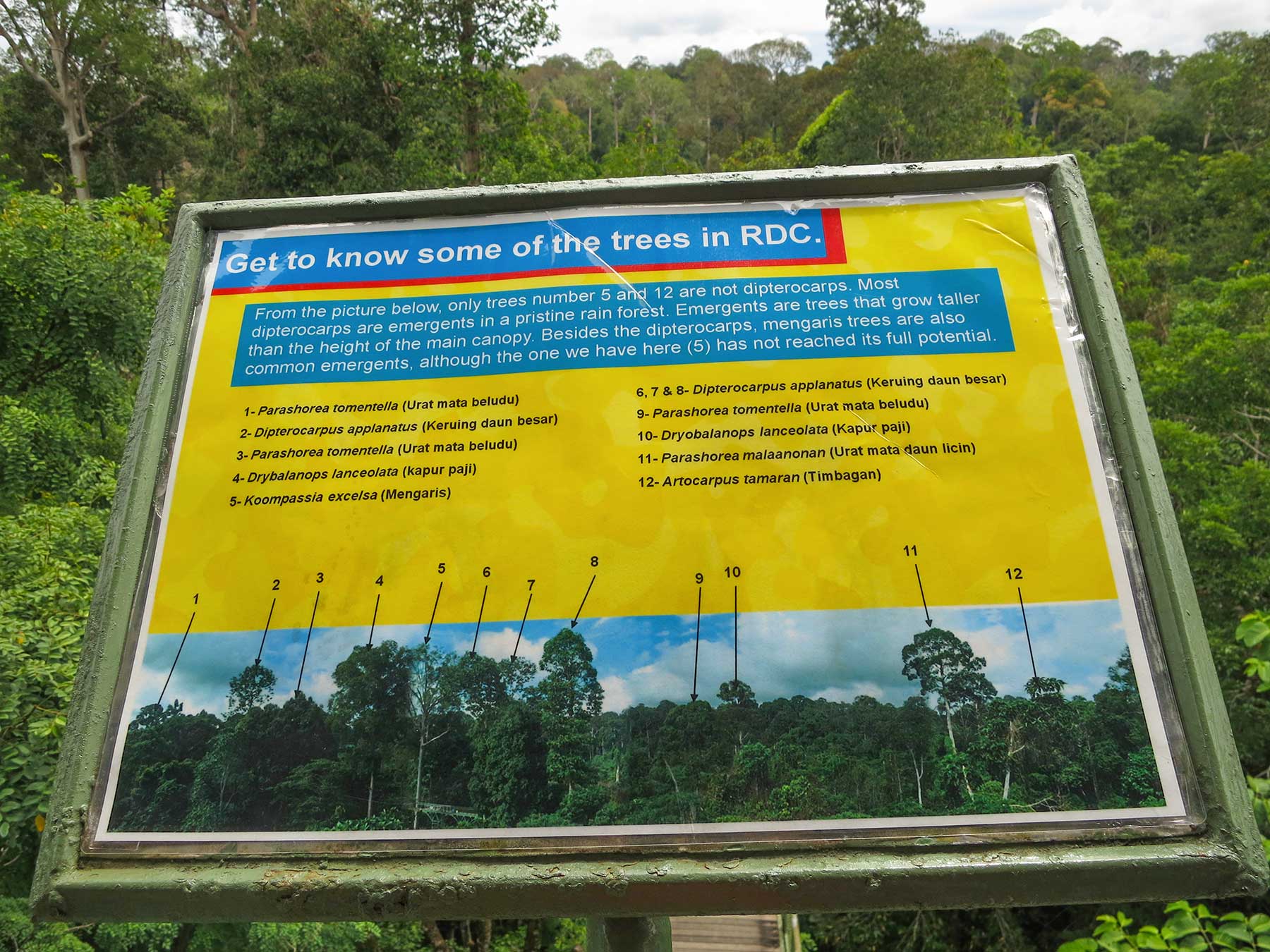
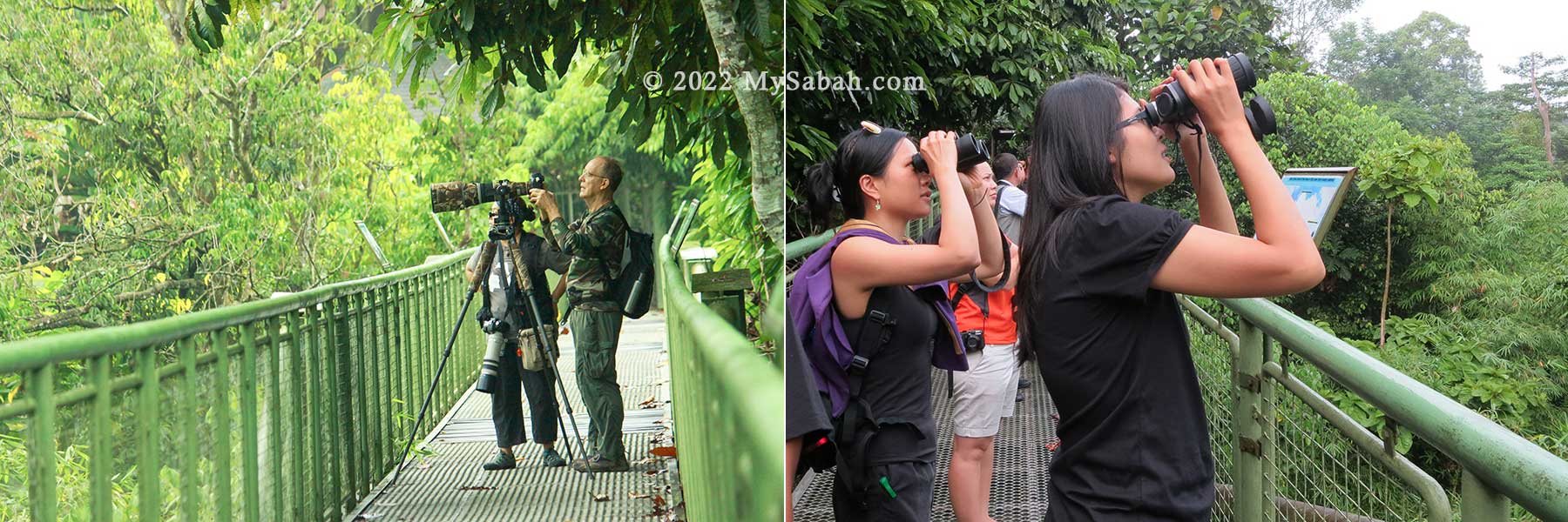
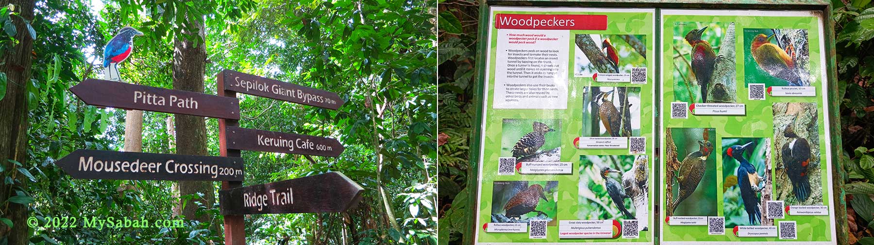
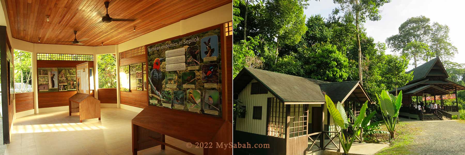
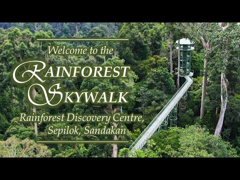
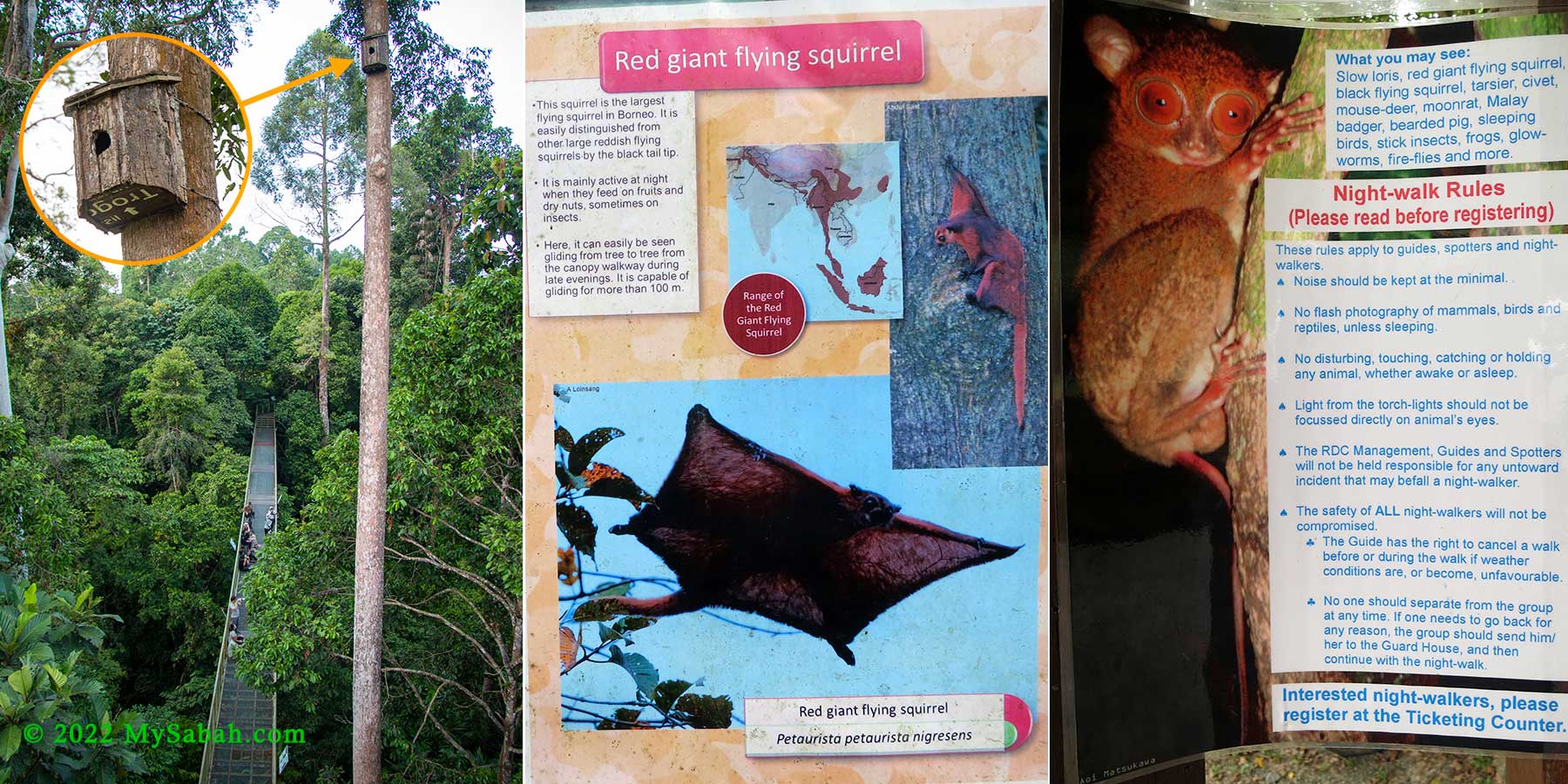
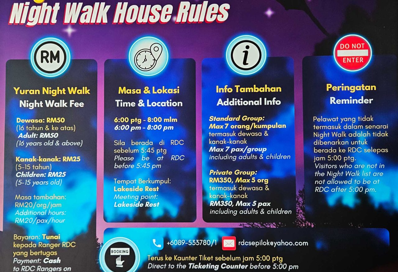
4) Rainforest Discovery Centre (Sandakan)
The Rainforest Discovery Centre (RDC) is renowned for its Rainforest Skywalk—the longest canopy walkway in Sabah, spanning an impressive 620 metres. Visitors can also explore an extensive network of nature trails that showcase the diverse lowland rainforest of Sepilok.
Night walks are held from 6 p.m. to 8 p.m., with registration required at the ticketing counter before 5 p.m. Depending on your luck, you might spot fascinating creatures like the Bornean tarsier, slow loris, civets, moonrats, flying squirrels, glowworms, or even owls.
5) Danum Valley (Lahad Datu)
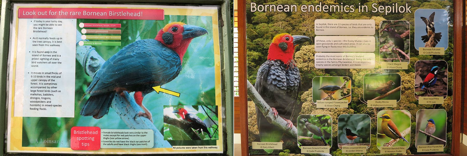
Danum Valley is home to Borneo’s oldest primary rainforest. This dense forest shelters iconic wildlife such as orangutans, clouded leopards, tarsiers, and hornbills. The elusive Bornean Bristlehead is also a prized sight for birdwatchers.
While herping here can be rewarding, the valley’s remote location and premium costs may not suit everyone. For a luxurious experience, stay at the 5-star Borneo Rainforest Lodge. Budget travellers can opt for the Danum Valley Field Centre (also known as the Danum Valley Studies Centre).
Other Good Locations
The following are other great spots for night walks and herping. Even seasoned entomologists and herpetologists may uncover rare and fascinating finds.
1) Crocker Range Park (Keningau)
Crocker Range Park, the largest terrestrial park in Sabah, features lush lowland rainforests and mixed hill dipterocarp forests. The park’s headquarters in Keningau boasts facilities such as accommodation and camping grounds. Visitors can book a guide at the office during the day to explore the 2-kilometre nature trail at night. One of the park’s standout features is its variety of stick insects, along with hidden gems like glowworms.
2) Kinabatangan Floodplain (Sandakan)
Kinabatangan Floodplain is Sabah’s largest wetland and a RAMSAR site, renowned as a prime destination for spotting Bornean pygmy elephants, orangutans, proboscis monkeys, and eight species of hornbills. Night walks here are often optional tours offered by lodges and resorts near secondary forests, oxbow lakes, or swampy areas. These environments host unique species you may not find in other rainforests. For those seeking a promising spot, Danau Girang is worth considering.
Recommended Videos
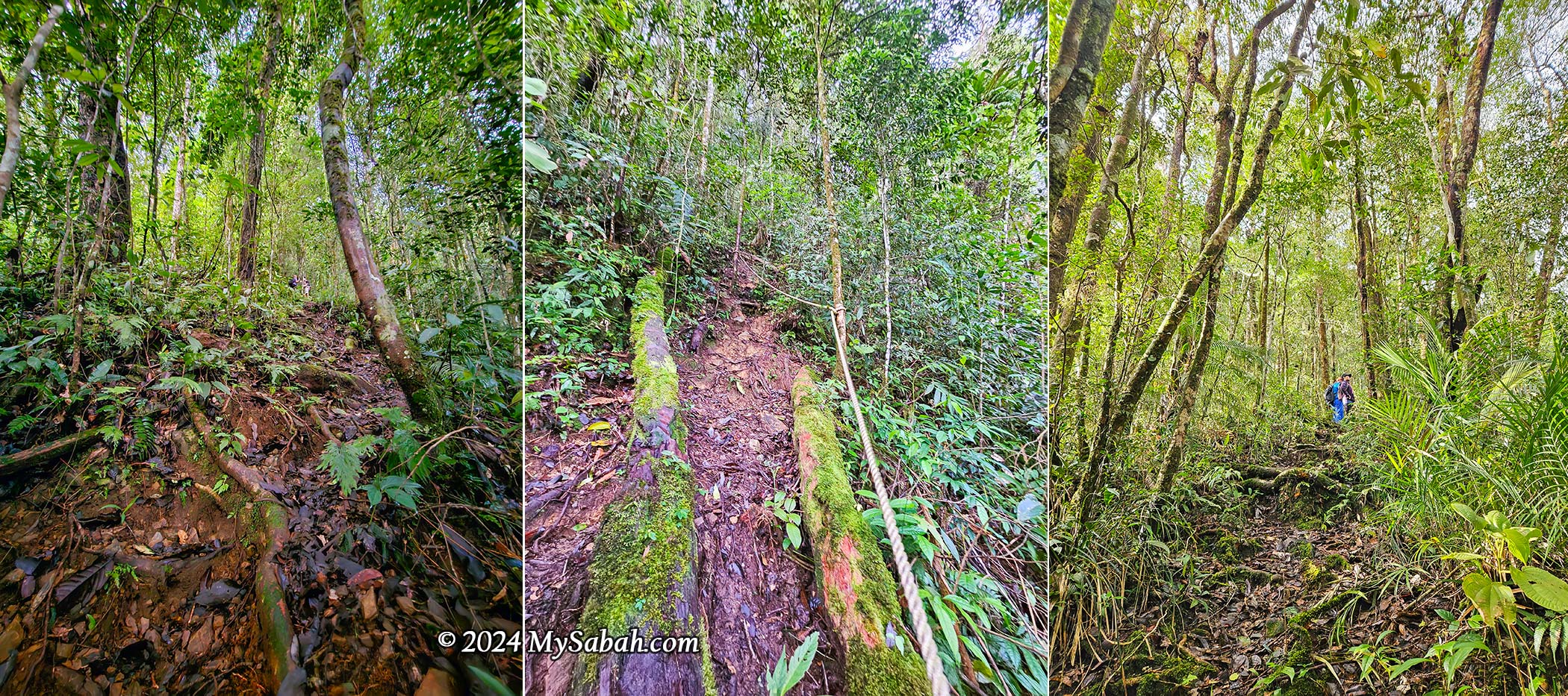
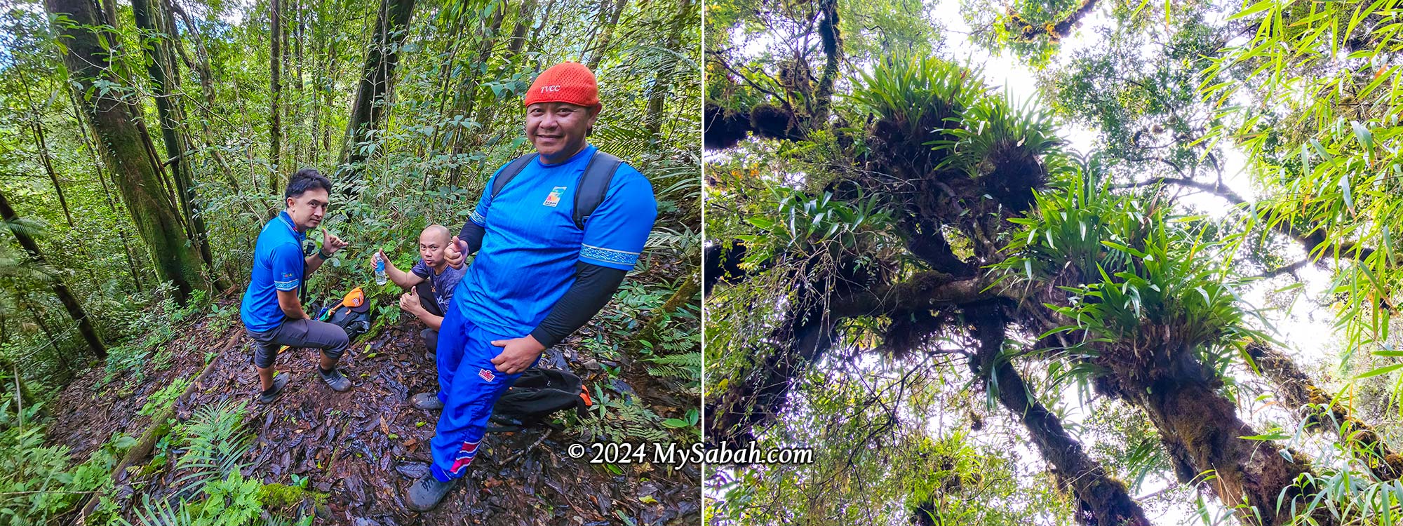
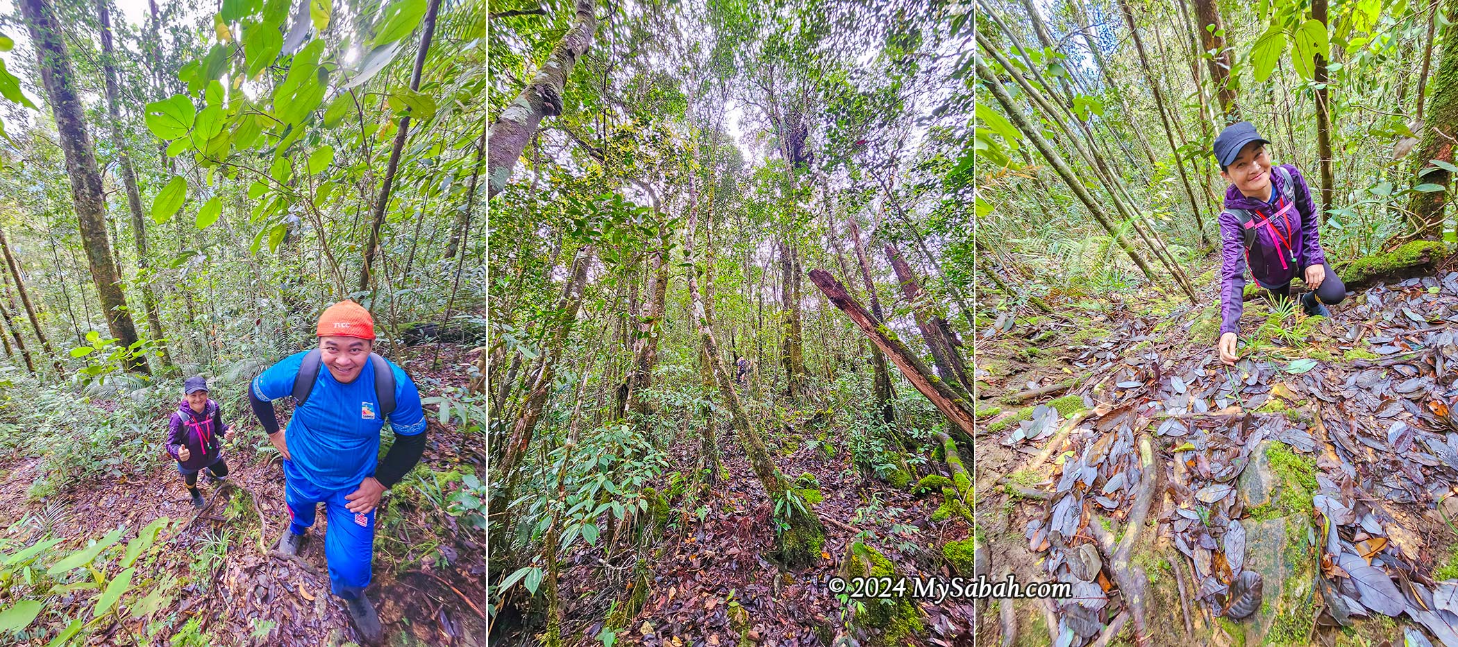
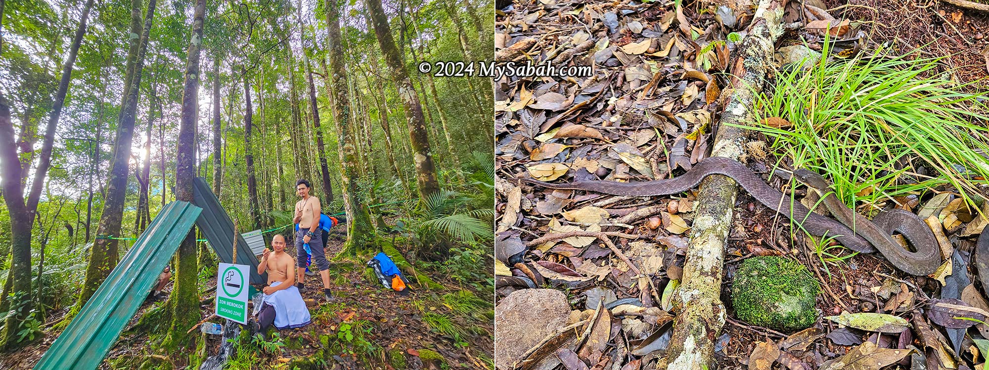
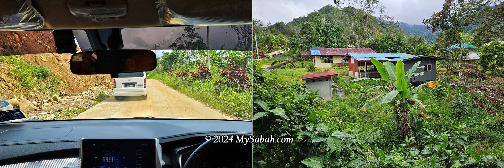
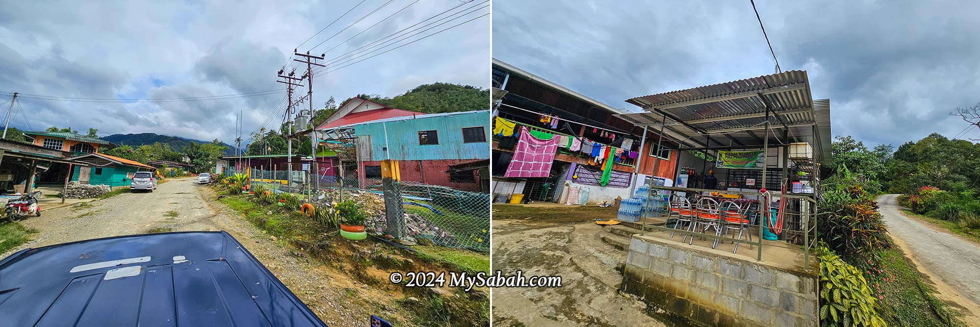
3) Miki Survival Camp (Kota Belud)
Located about a two-hour hike from Kiau Village in Kota Belud, Miki Survival Camp offers visitors an immersive experience in rainforest survival. While the camp is known for teaching survival skills, the night walks are equally remarkable. Though the amenities are basic (no electricity), the sightings here rival those in Kinabalu Park.
4) Tabin Wildlife (Lahad Datu)
My visit to Tabin Wildlife Reserve included a single night walk, which was enjoyable though it didn’t yield anything particularly memorable. However, the reserve has hosted projects like the Frog Camp programme, indicating its potential as an excellent herping site.

5) Kionsom (Kota Kinabalu)
If you prefer a herping spot close to Kota Kinabalu City, Kionsom in Inanam is a convenient option, located just 20 minutes from the city. This hilly area, interspersed with numerous streams, offers a variety of wildlife. You can arrange tours through Ki-Onsoi Herping.
Possible Sightings
🐍 Borneo Python, Vine Snake, Bornean Keeled Pit Viper, White-fronted Water Snake, Striped Bronzeback, Elegant Bronzeback
🦎 Five-lined Flying Dragon, Great Angle-headed Lizard, Bent-toed Gecko, Borneo Forest Dragon
🐸 Northern Torrent Frog, Giant River Toad, File-eared Frog
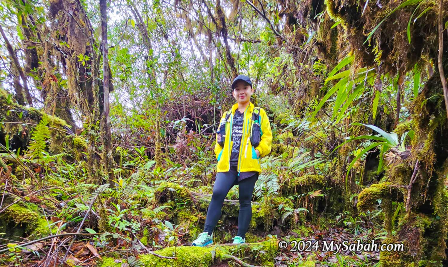
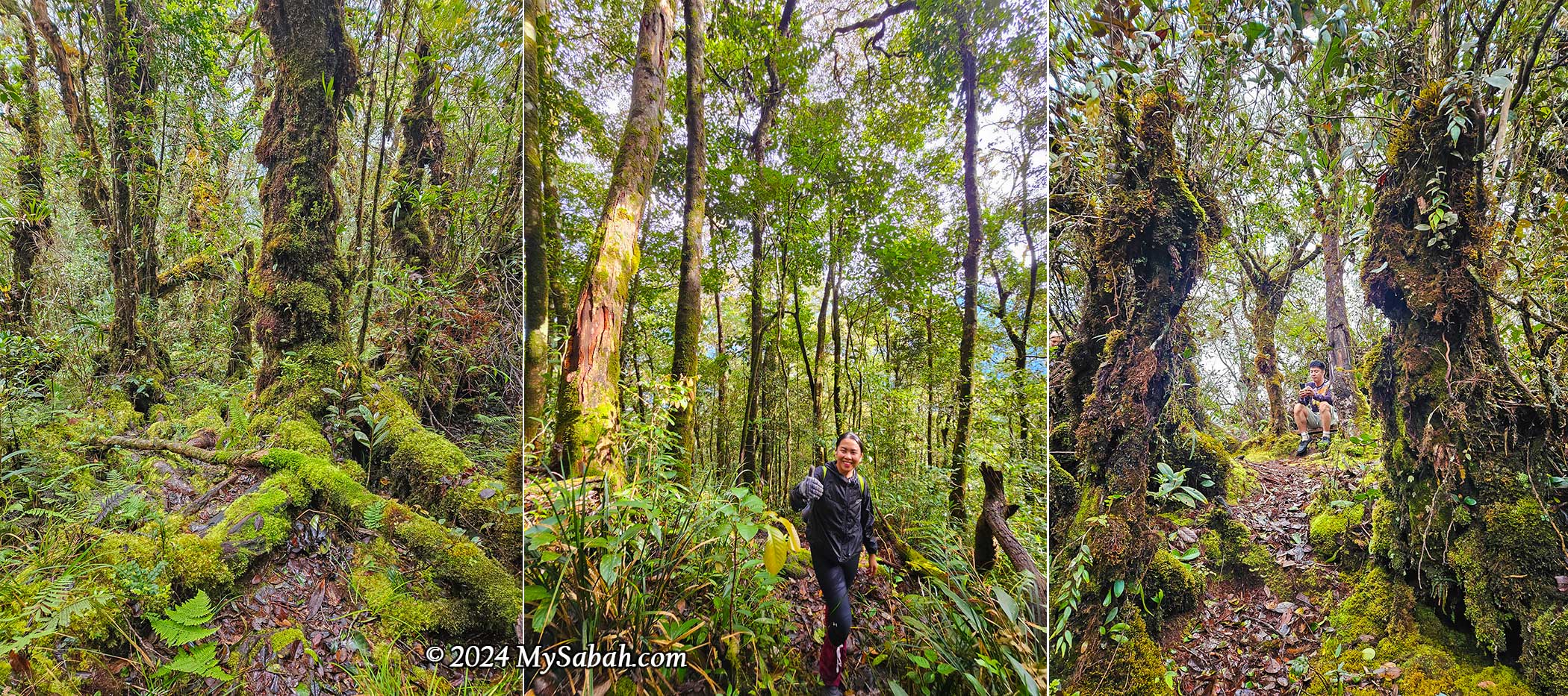
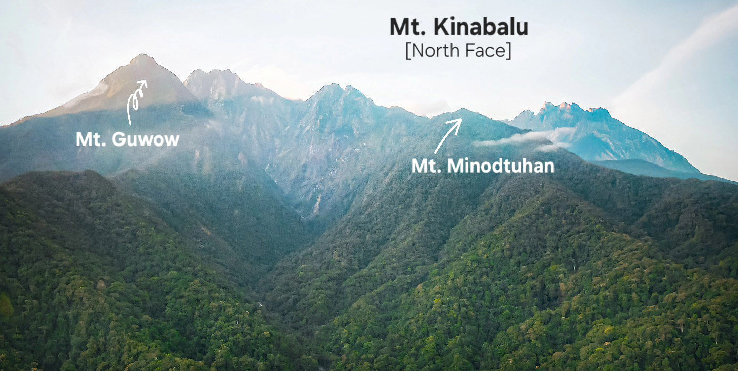
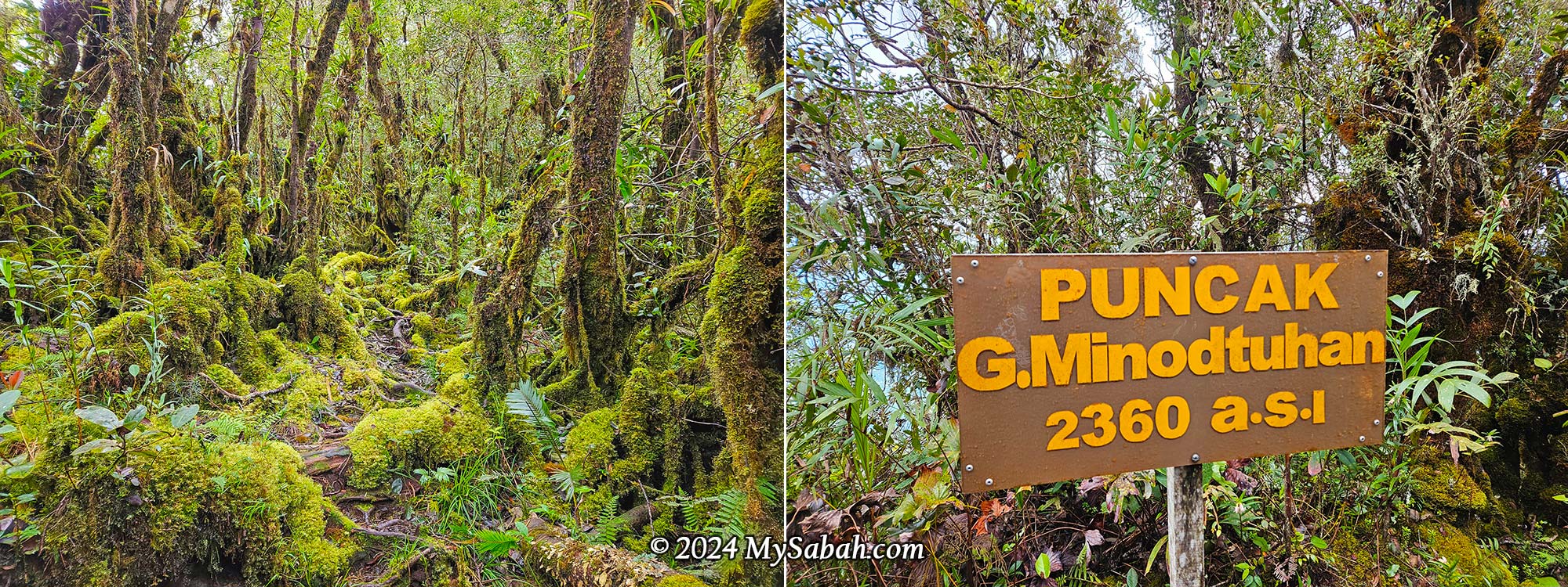
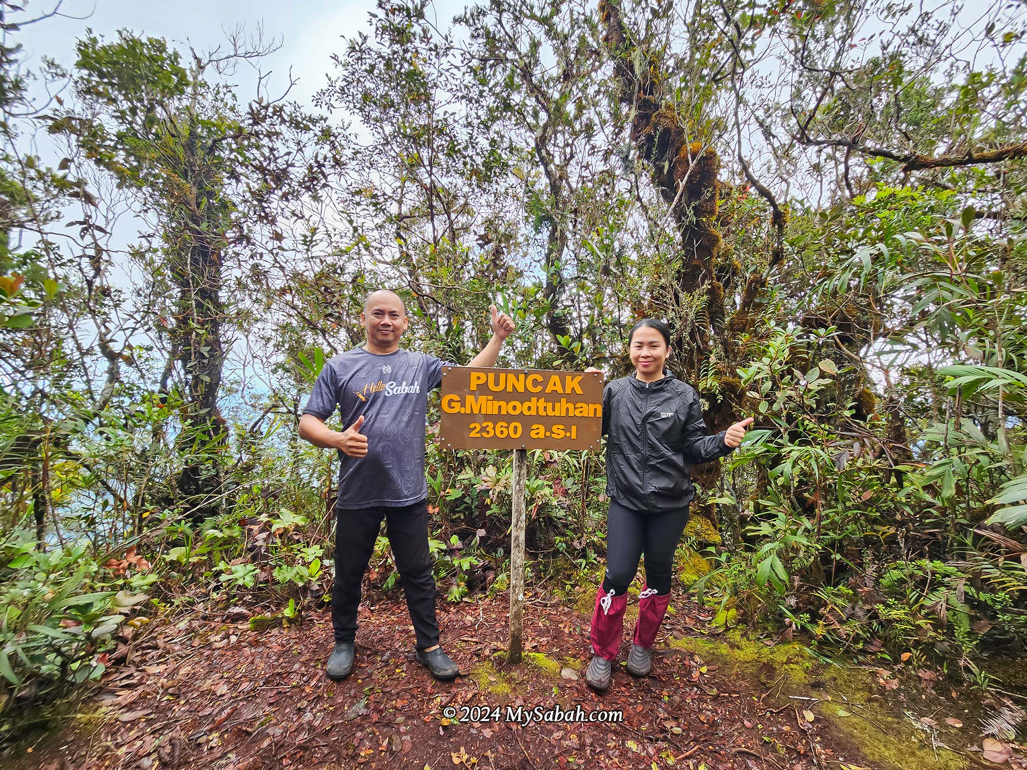
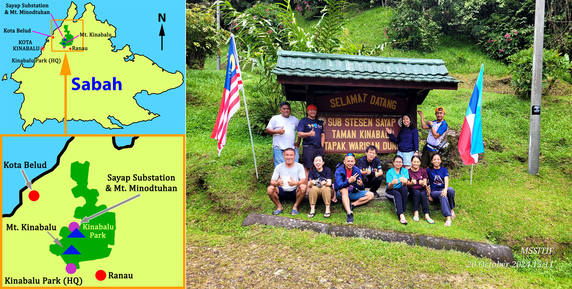
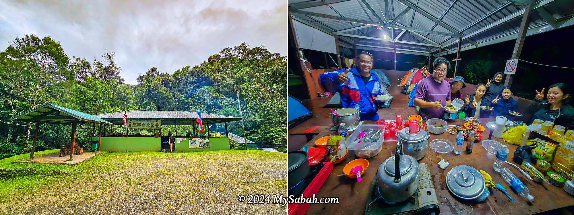
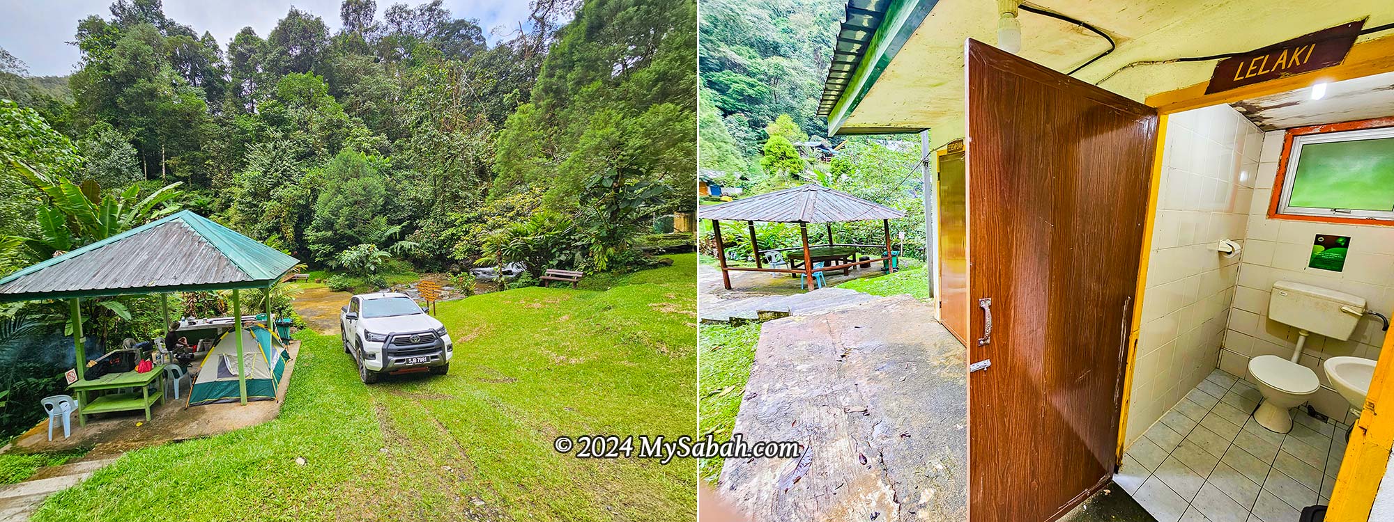
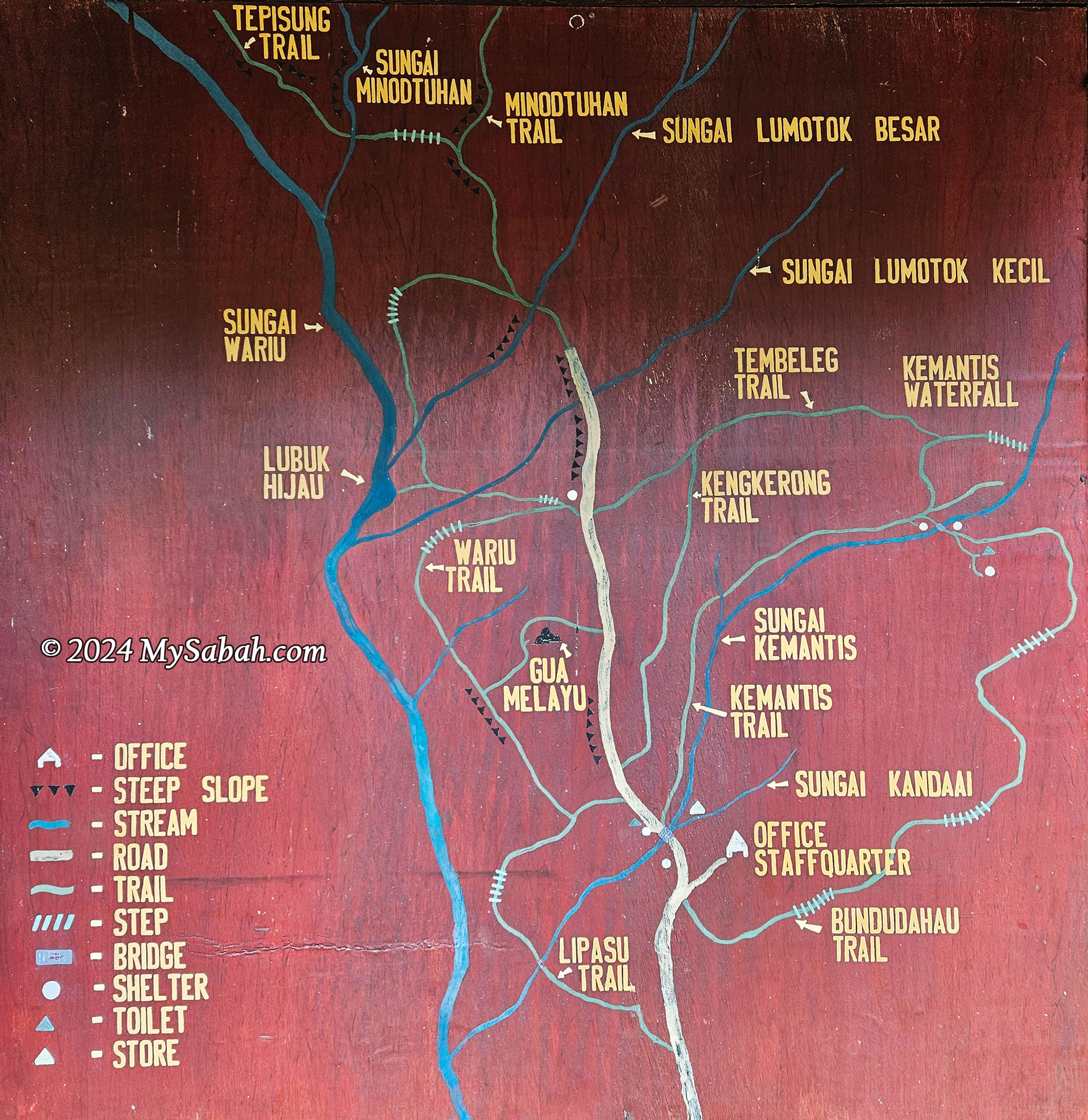
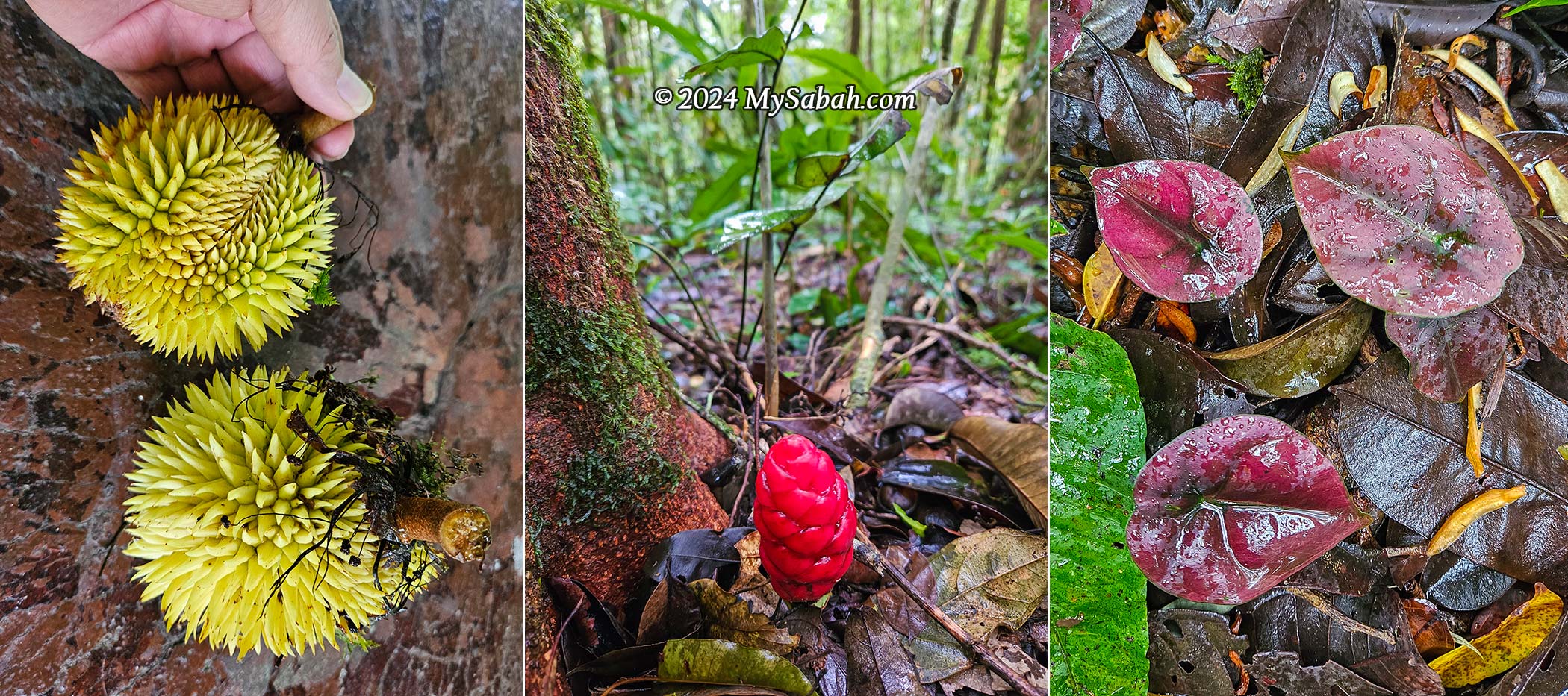
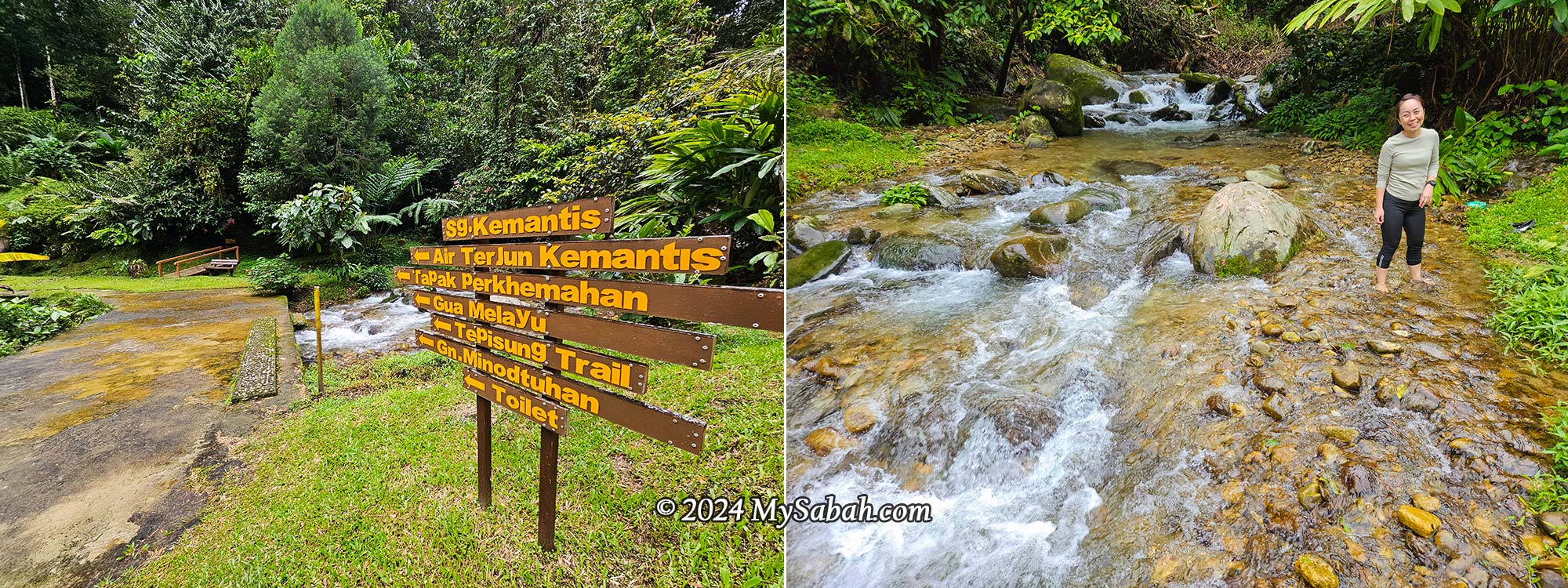
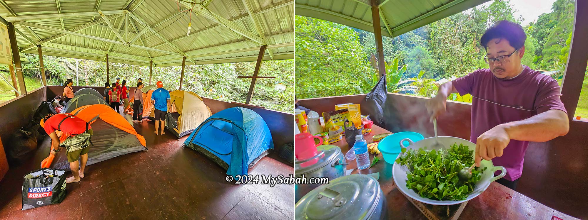
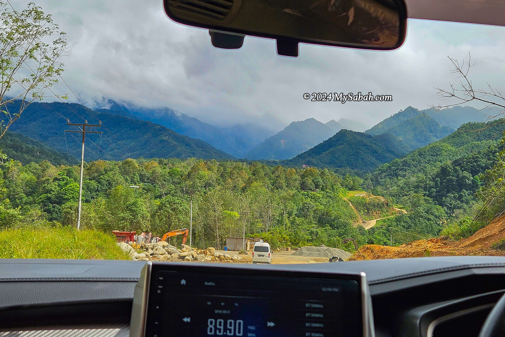
6) Sayap Substation (Kota Belud)
Sayap, one of Kinabalu Park’s substations, also serves as the starting point for climbing Mount Minodtuhan. Though this place is far and less accessible, it’s gaining popularity among herpes as it is located in a transitional and riverine zone between lowland and montane forests, where animals from both habitats can be found!
Possible Sightings
🐍 Sabah Bamboo Pit Viper, Borneo Red Snake
🐸 Golden-legged Bush Frog, Long-fingered Stream Toad, Bornean Horned Frog, Masked Tree Frog
Recommended Video
Tips for Night Walks
The best time for night walk is during new moon, ideally after rain. When it’s full moon, the nocturnal animals are more sensitive and stay hidden away from the bright moonlight. That affects herping as insects are afraid of frogs, frogs are afraid of snake, and snakes are afraid of owl.

What to Bring and Wear on a Night Walk
- Never go alone. A knowledgeable guide increases your chances of wildlife encounters.
- Travel with a group to split guiding costs.
- Night walks can last hours—carry a flashlight with a long battery life. Bring spare flashlight or extra batteries.
- Headlamps are convenient but may attract insects like wasps to your faces.
- Look for the reflective eyes of animals to spot them in the dark.
- Bring a raincoat for unexpected rain.
- Wear anti-leech socks; leeches indicate a thriving forest ecosystem.
- Opt for water-resistant hiking shoes or rubber boots for muddy and swampy areas.
- Beware of fire ants, which are active at night and have painful stings.
- Follow your guide’s instructions and avoid touching anything.
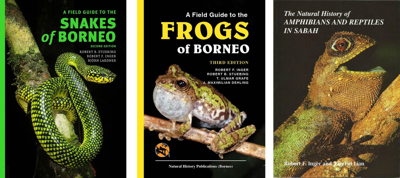
Useful Books
These field guides by Natural History Publications (Borneo) are useful for herping enthusiasts:
- A Field Guide to the Snakes of Borneo (2nd edition) by Björn Lardner, Rob Stuebing, Robert Inger. ISBN: 978-983-812-151-4
- A Field Guide to the Frogs of Borneo (3rd edition) by Robert F. Inger, Robert B. Stuebing, T. Ulmar Grafe, J. Maximilian Dehling. ISBN: 9789838121767
- Amphibians & Reptiles in Sabah by Robert F. Inger and Tan Fui Lian. ISBN: 983-812-010-3

Photos taken in Sabah, Malaysia Borneo