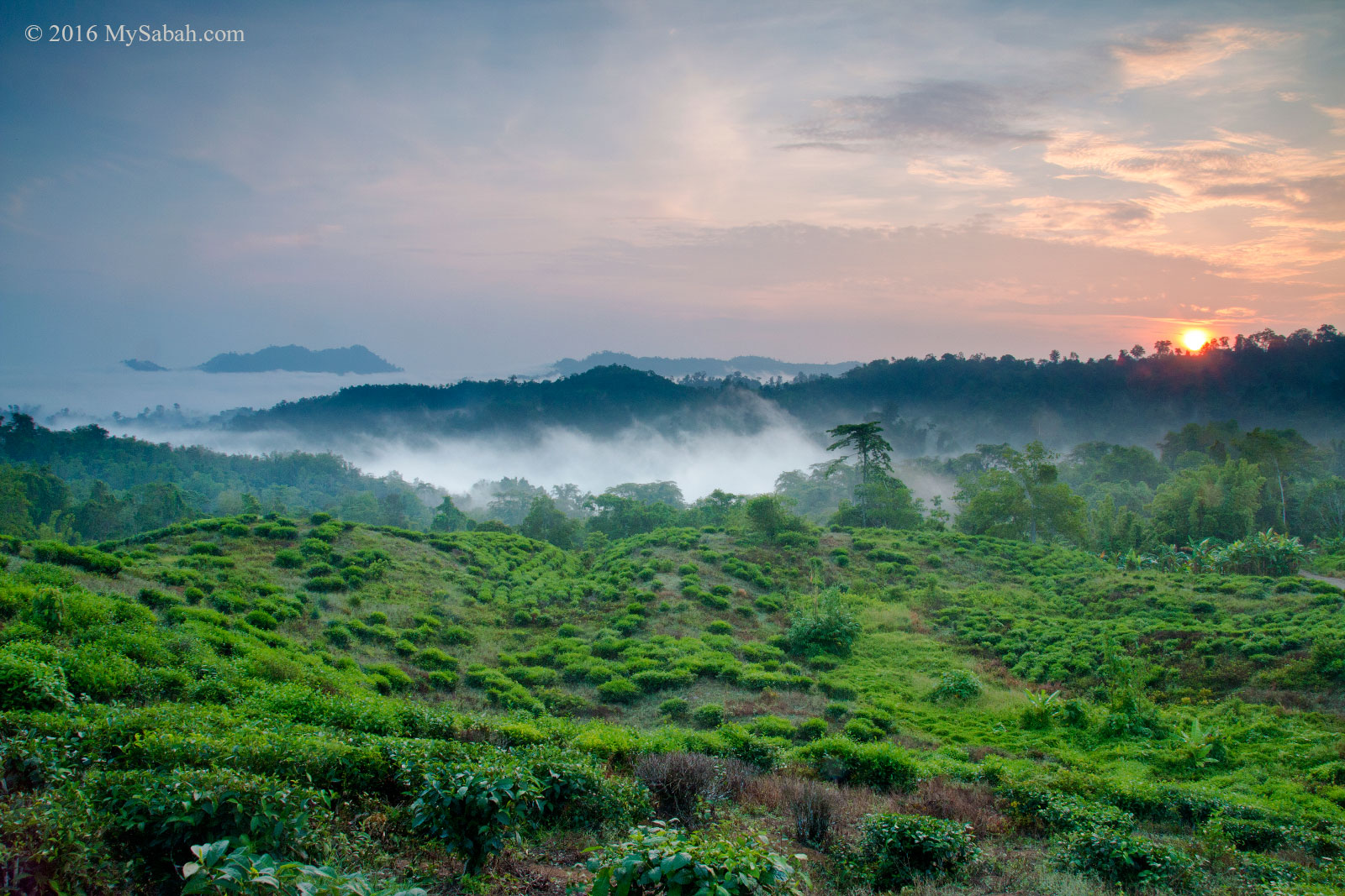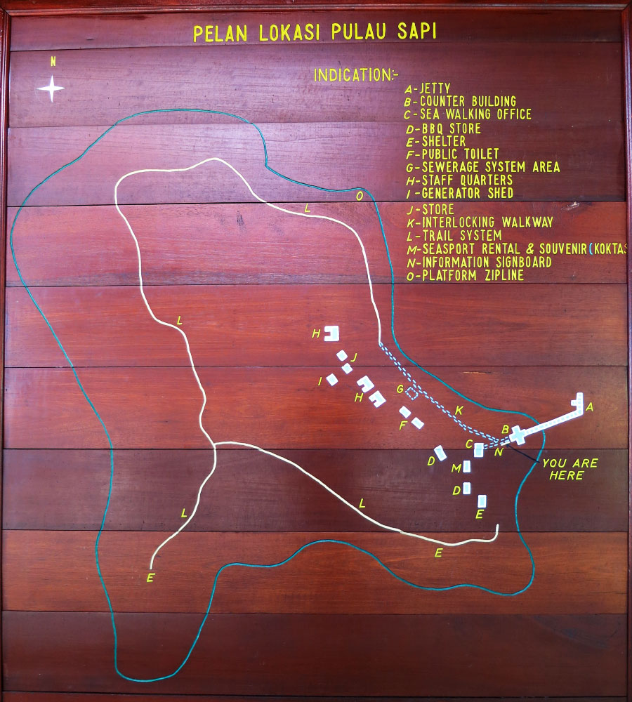
If you want to feel on top of the world and enjoy some breathtaking view, climb a mountain! For hikers who only want a day trip to conquer a mountain that is not too high to be overwhelming, but also not too low to be unexciting, Mount Wakid (Gunung Wakid in Malay language) in Tambunan is for you then. Even if you live in Kota Kinabalu City (KK), which is 80 KM away from Tambunan, you can finish the climb and back home on the same day.
You can see Mount Wakid (Gunung Wakid) at the roadside near Tambunan
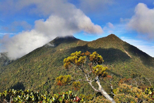
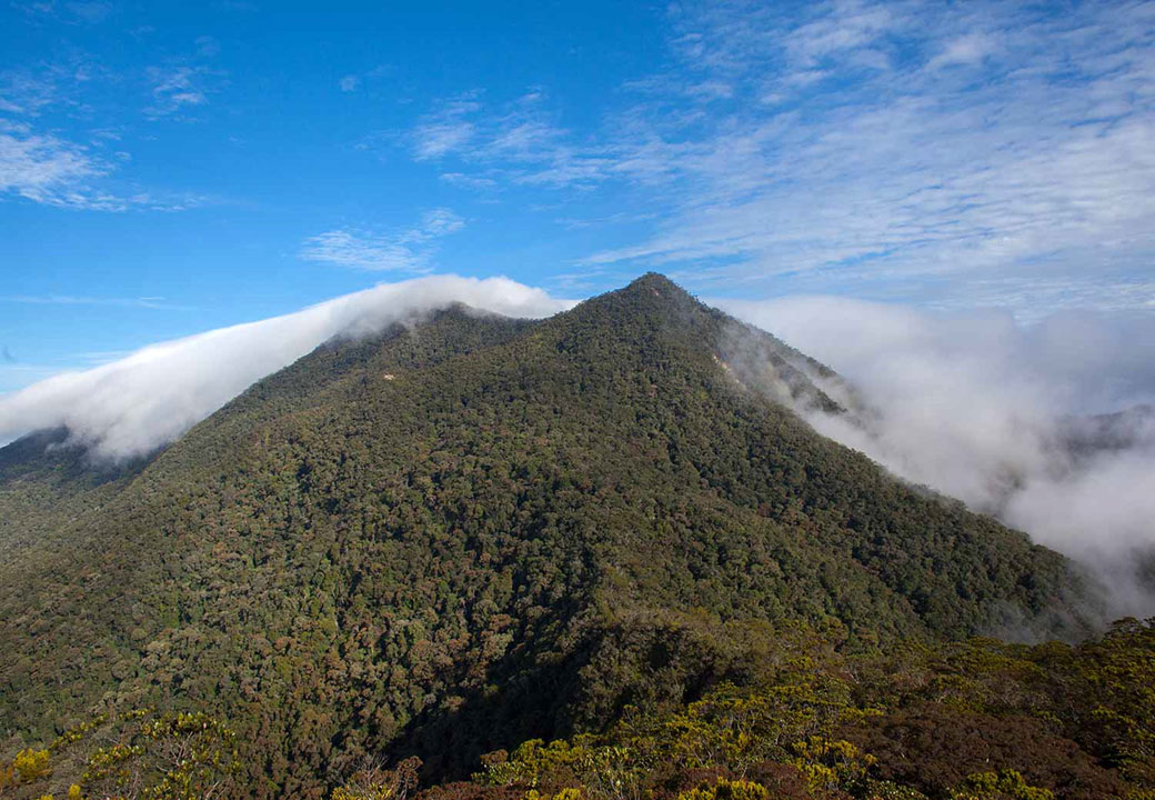
Sabah is mountainous with over half of its land above 1,000 Meters above sea level, and Mt. Kinabalu is not the only beautiful mountain. No two mountains look the same. Standing at 1,372 Meters (4,501 Feet), Mount Wakid is distinctly different from other Sabah mountains that I climbed before. It’s also about the same height as Ben Nevis (1,346 Meters), the highest mountain on island of Great Britain and a popular destination that attracts about 100,000 ascents annually.
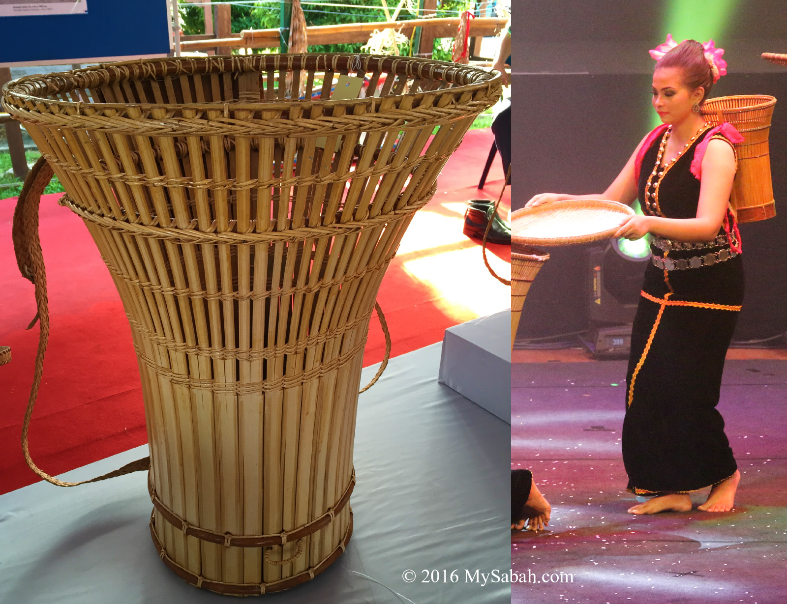
Wakid is a bamboo basket used by villagers to carry fruits & vegetables until today.
According to locals, in the past, an Odu-Odu (grandma) went to Mount Wakid to harvest some forest produces. She disappeared, so every villagers were searching for her on the mountain. However, villagers couldn’t find her except her wakid (a bamboo basket used by native to collect fruit & vegetables). That’s how Mount Wakid got its name.
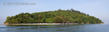
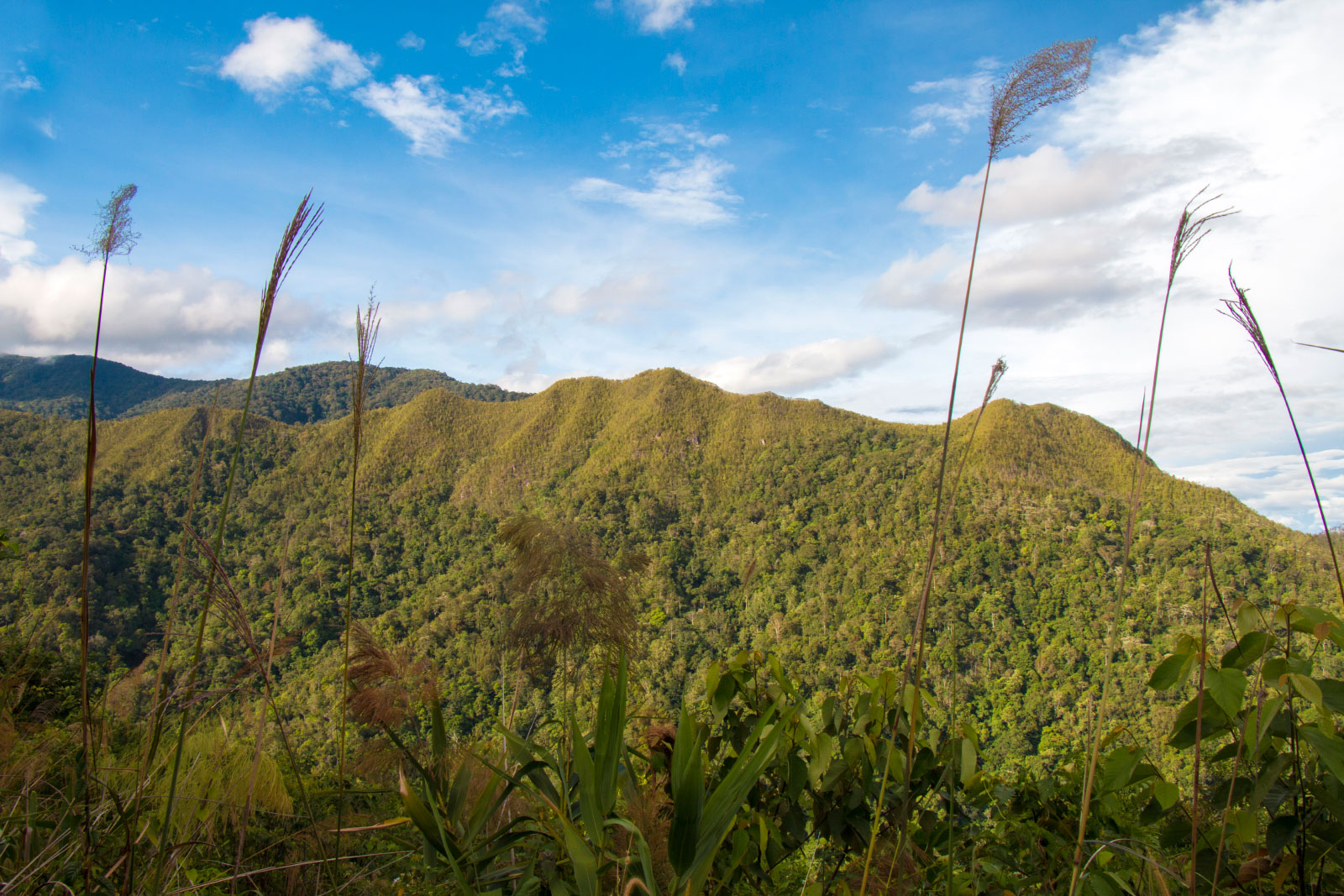
View of Mount Wakid (Gunung Wakid) from the road
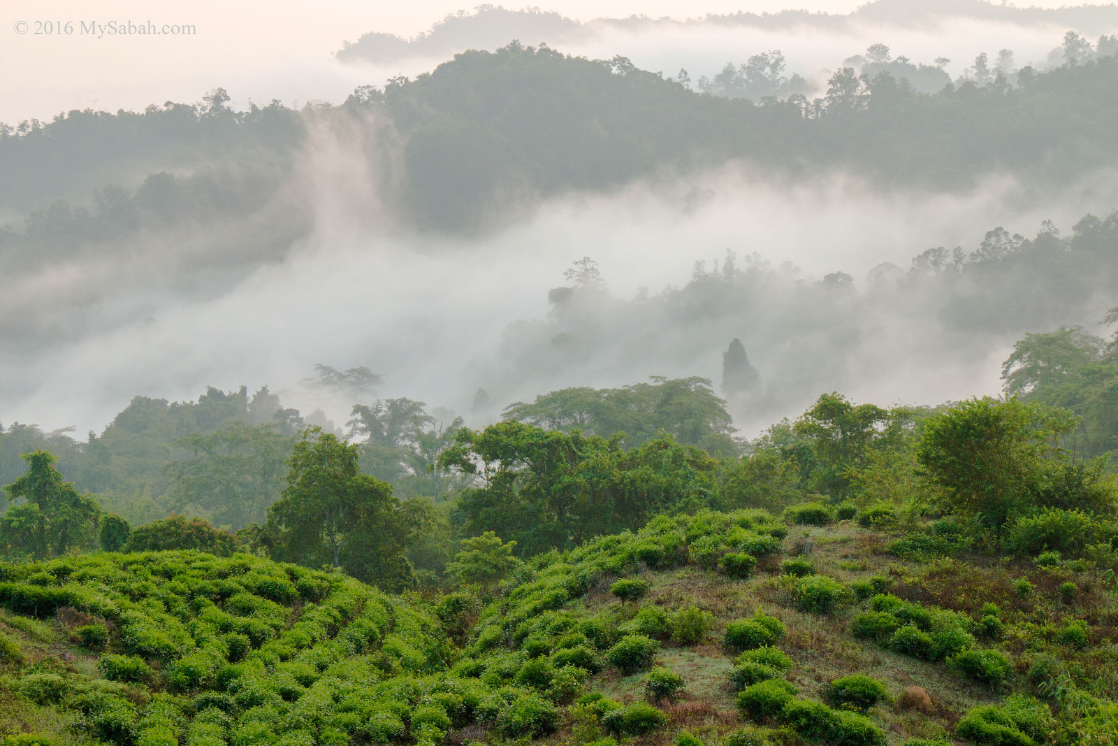
When you head to Tambunan town from KK, about 10 KM before the town, you could see Mount Wakid prominently at the left of the road. Its long and crooked crest running parallel to the hilly road, like the spine of a dragon. No wonder the locals believe a Tombuokar (dragon) is living in this mountain. Every time I looked at this “crouching dragon”, it was like calling me to have a ride on its back. The most unique characteristics of Mount Wakid is – it is chartreuse in color.
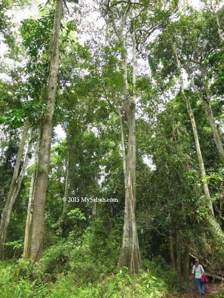
Climbing Mt. Wakid (Gunung Wakid)
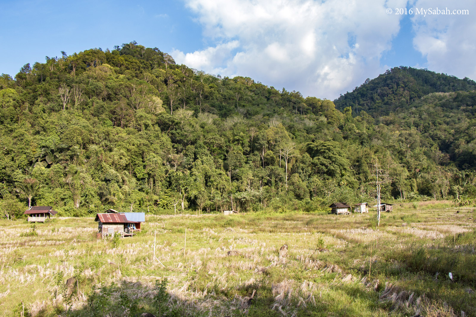
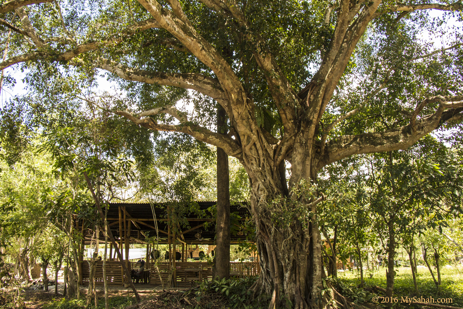
Mount Wakid is located in the state land of Kampung Sunsuron (Sunsuron Village). Its hill forest is kept intact to protect this mountain as a water catchment area. The villagers see Mount Wakid as an important source of water to irrigate their crops. It is only in Nov 2015 that they started promoting their “backyard” mountain as an attraction.
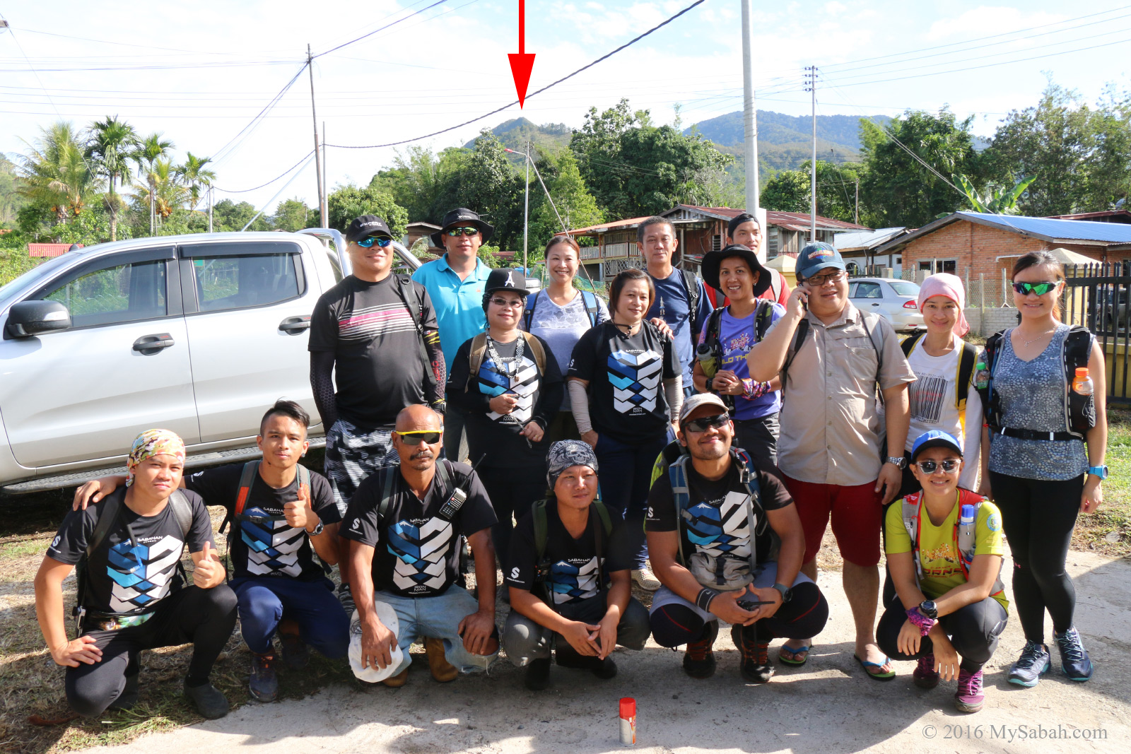
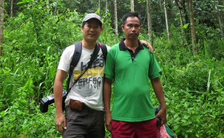
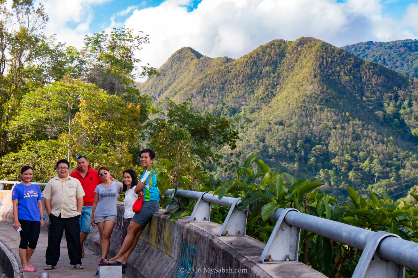
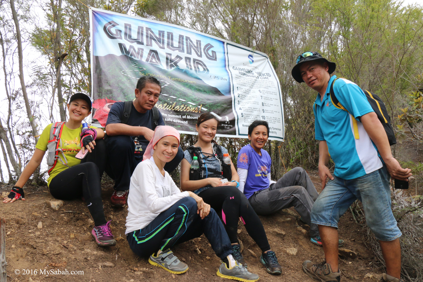
Group photo of climbers (with Mt. Wakid behind us, note the red arrow)
Yes, 1,372-Meter is quite an enormous height for a day climb. But no worry, we started our climb from Sunsuron Village, which is located at 780 Meter above sea level, so we only need to ascend less than 600 Meters (1,969 feet) to reach the top. Sound easy but remember three rules of mountaineering, which state, “It’s always further than it looks. It’s always taller than it looks. And it’s always harder than it looks.”
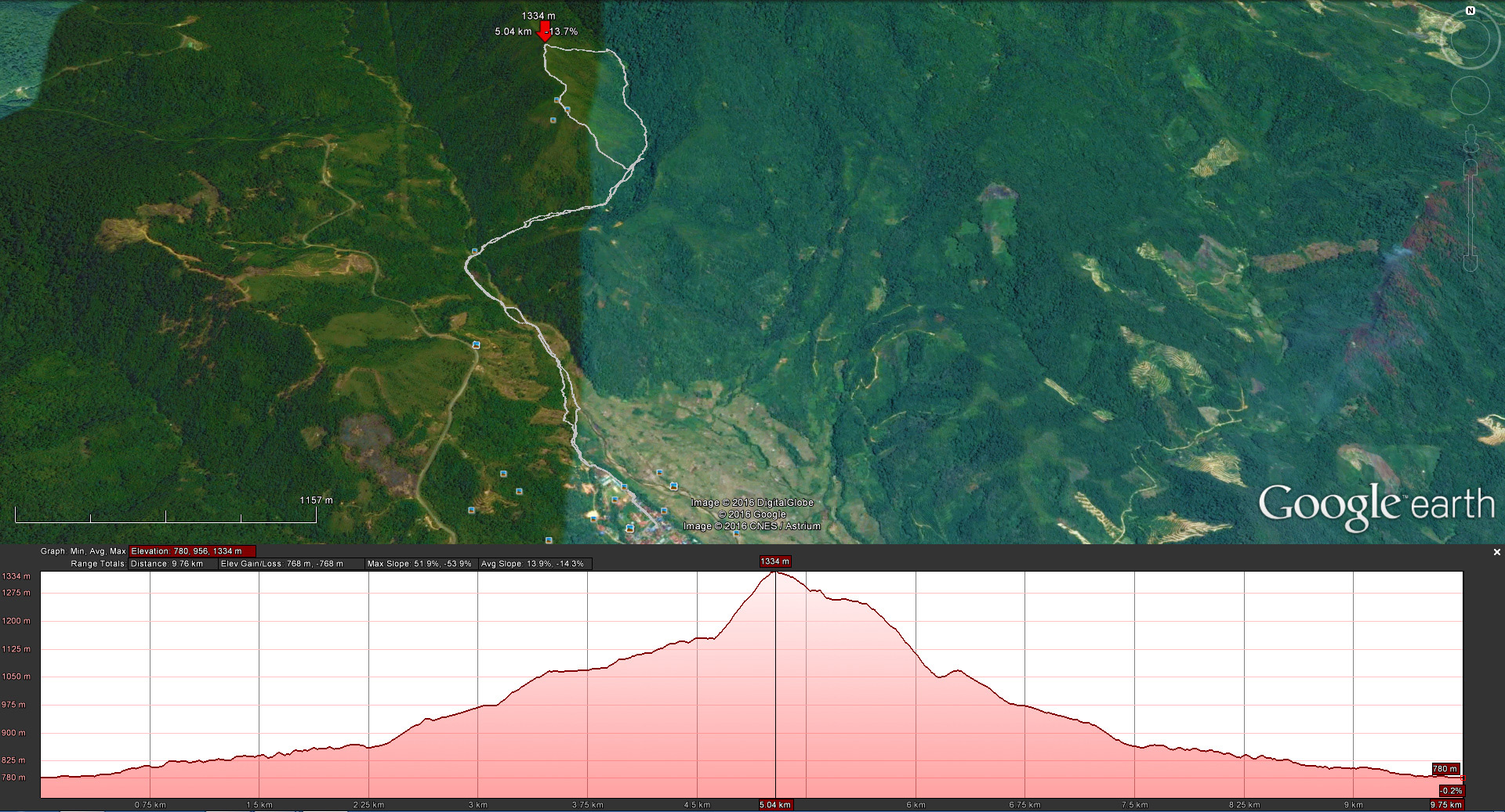
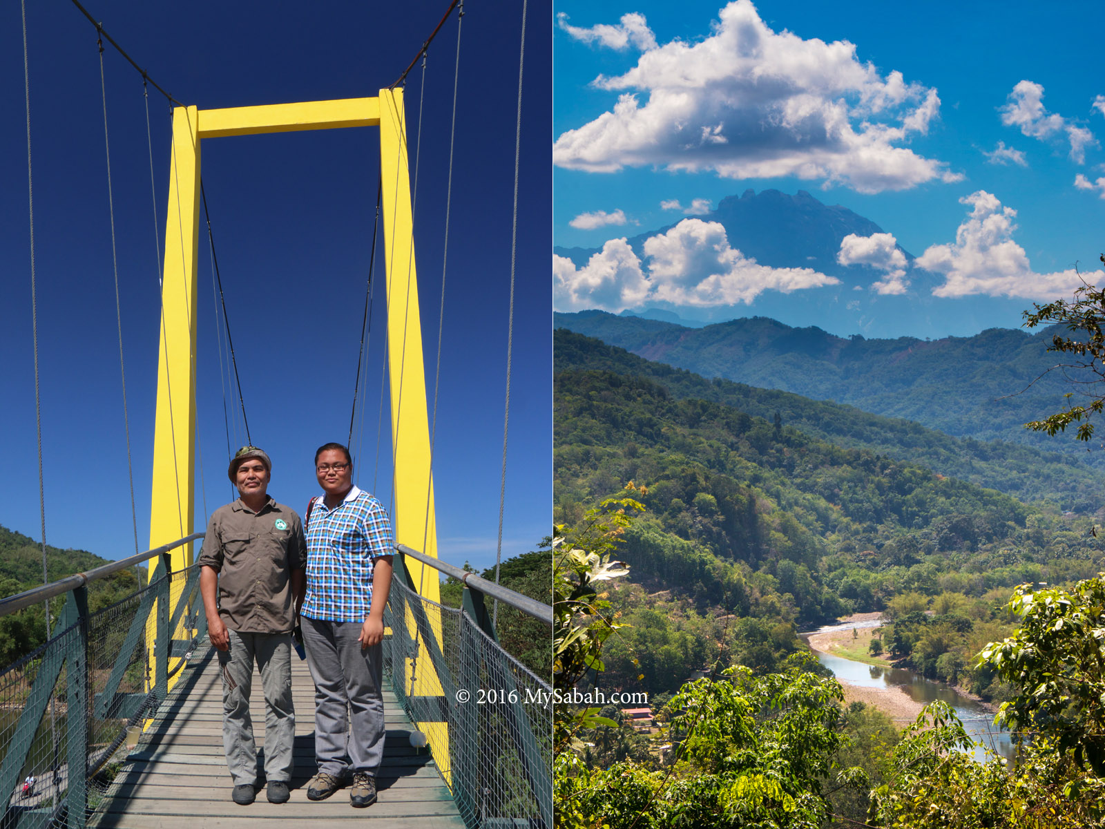
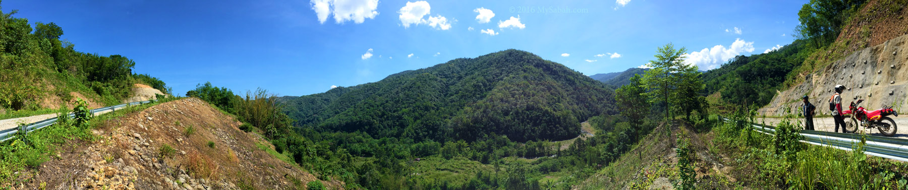
Route map and elevation profile of our climb to Mount Wakid. You can download the KML (for Google Earth) or GPX (for GPS device such as Can-Am Garmin Montana 650T GPS 715002081

Here is the summary of the climb. The total distance of return trip is 9.75 KM. We hiked 5 KM via the new Jinkung Trail to the summit (GPS of the Highest Peak: 5.770667, 116.369209; see Location Map), then descend via the 4.75-KM Standard Trail back to Sunsuron Village.
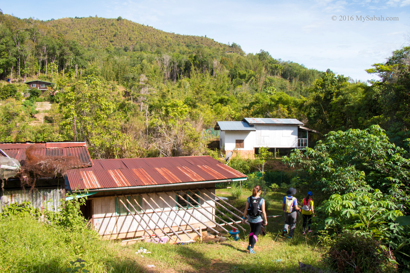
Pass by the village on the way to the summit
We departed from Sunsuron Village at 8:30 AM, reached the summit at 12:30pm and came back at 4pm. If possible, you should move as early as 7am. Though Tambunan has cooling weather (about 25ºC / 77ºF), it’s still pretty warm in the afternoon.
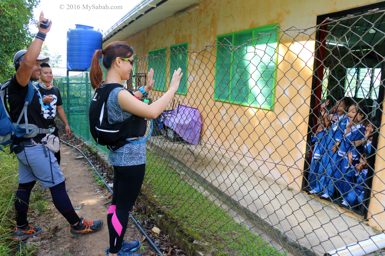
Waving at the cute preschool children
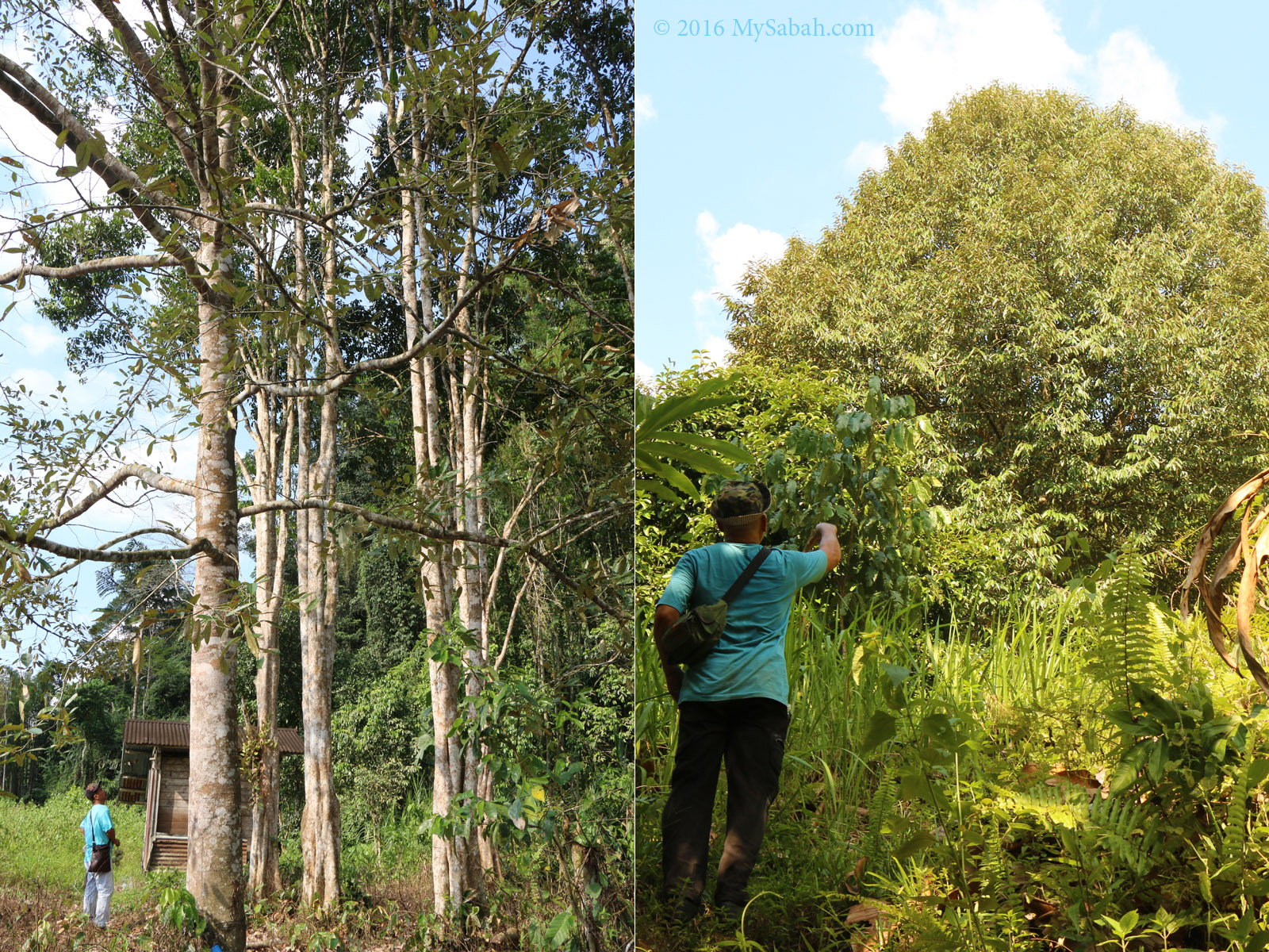
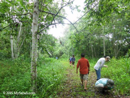
In the beginning, we walked through the village houses and the local schools, before we entered the plantation at the edge of the village.
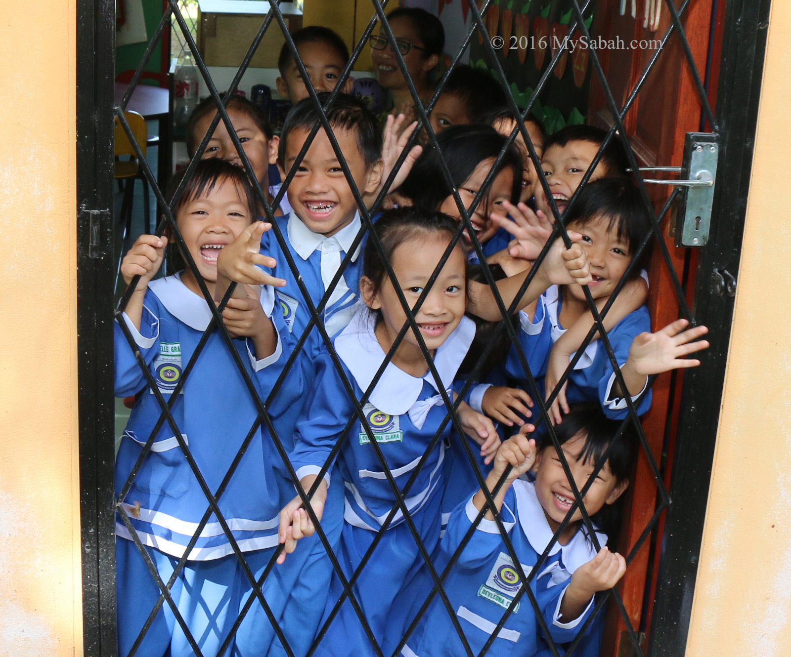
Awww….♥♥♥! These lovely local children will melt your heart
We passed by a preschool and the kids were so excited to see us. They screamed and waved at us, so adorable. Actually their smiles are the most memorable part of my climb.
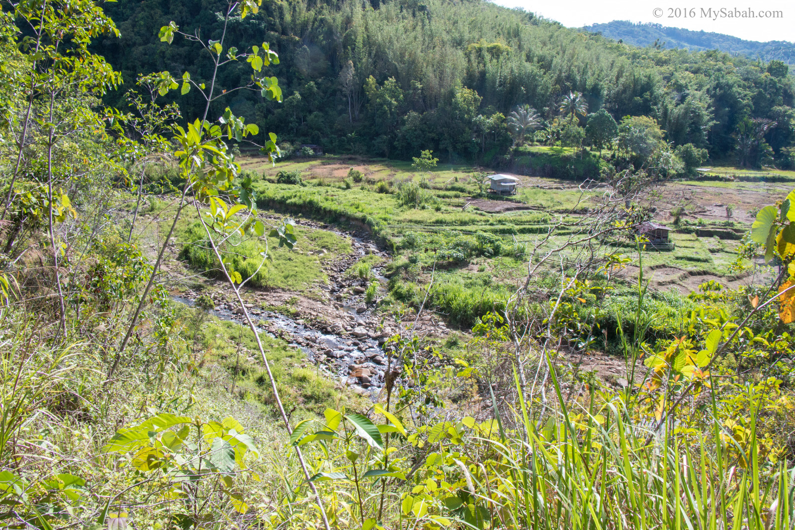
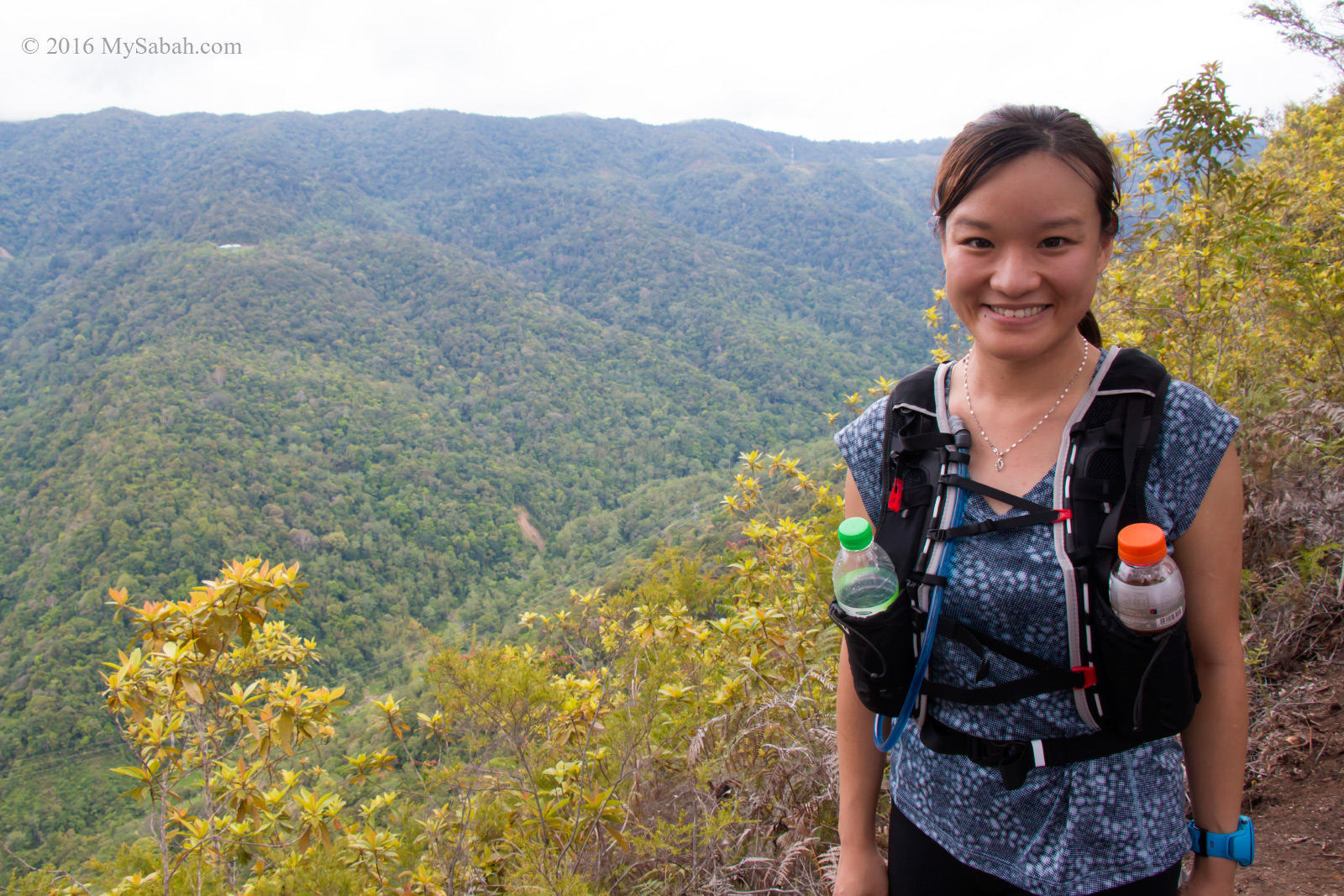
Scenic countryside view along the way
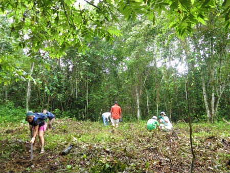
After 10 minutes, we exited the residential area and passed through the farmland and grassland outside the village.
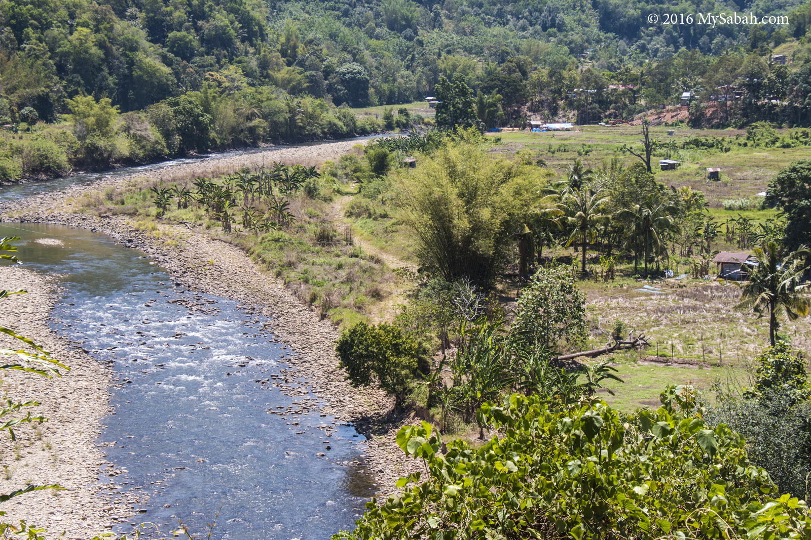
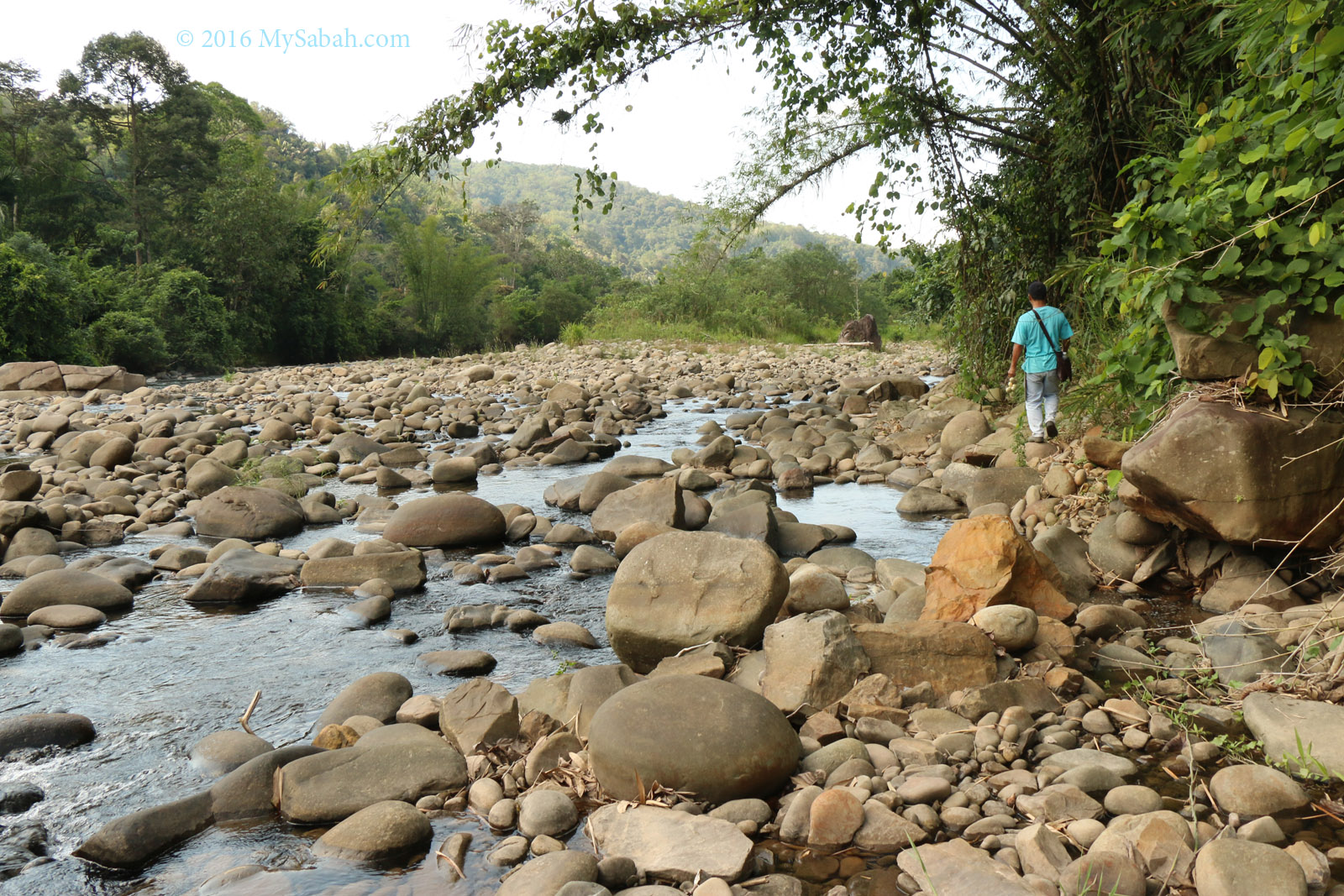
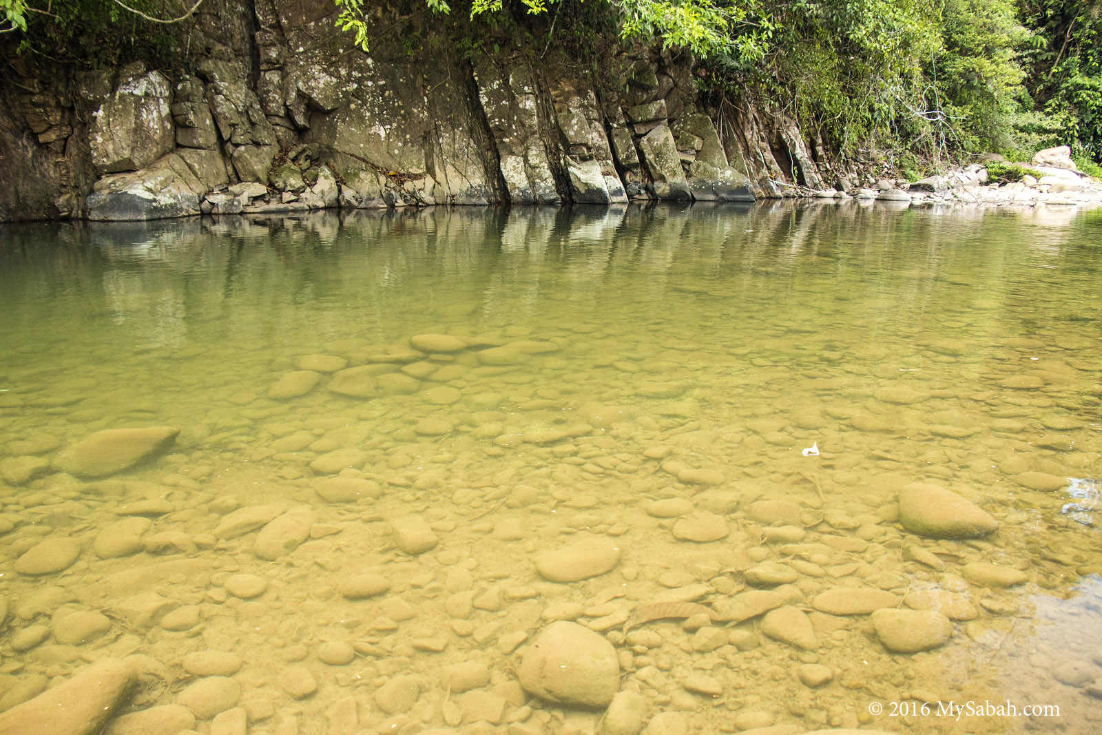
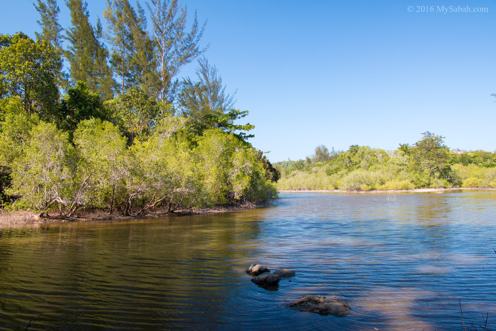
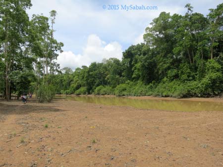
The clean river from Mt. Wakid
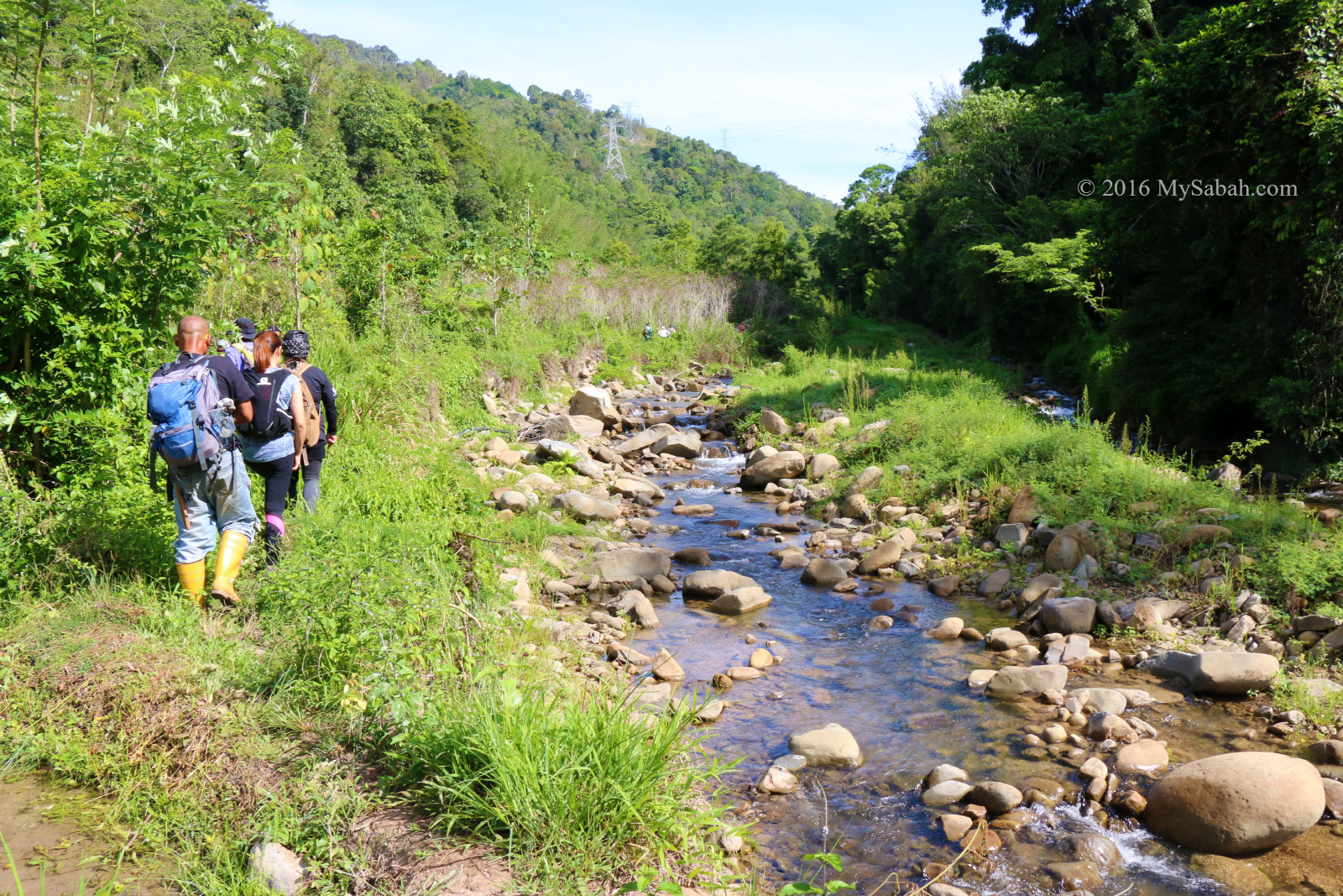
In the first 3 KM, we walked on flat ground most of the time. We only came across a few gradual slopes. It wasn’t challenging but we needed to be vigilant, especially at the narrow and slippery soil trail on the slope. We took a short break every 1 KM.
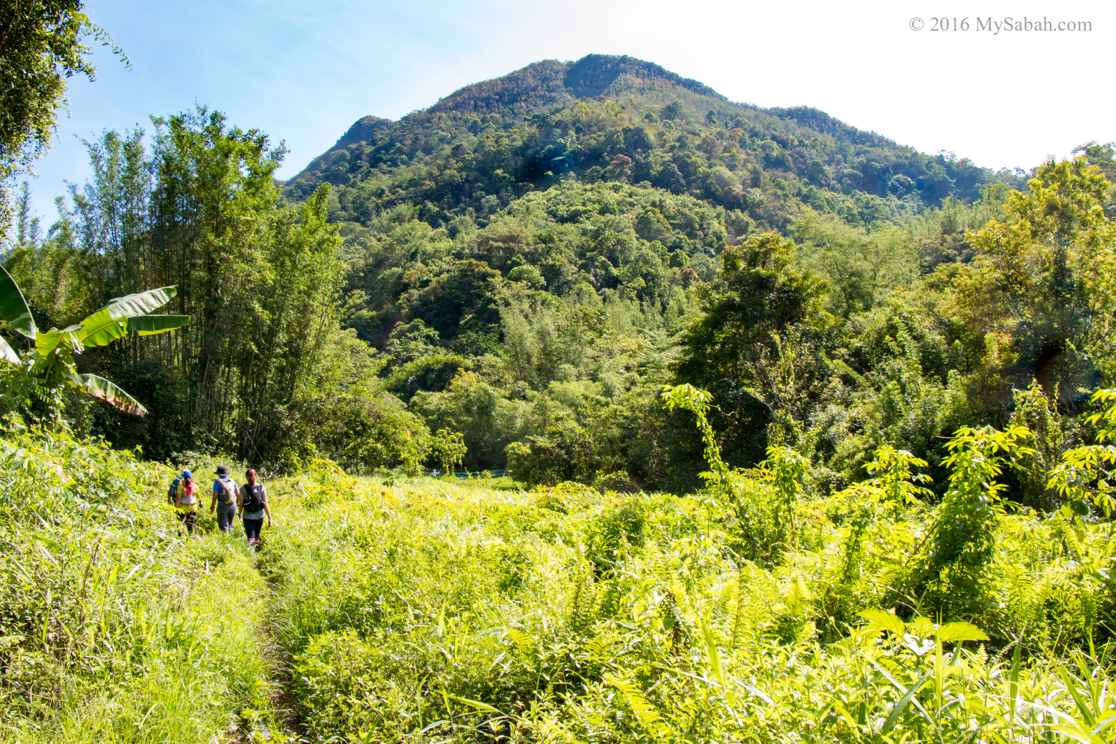
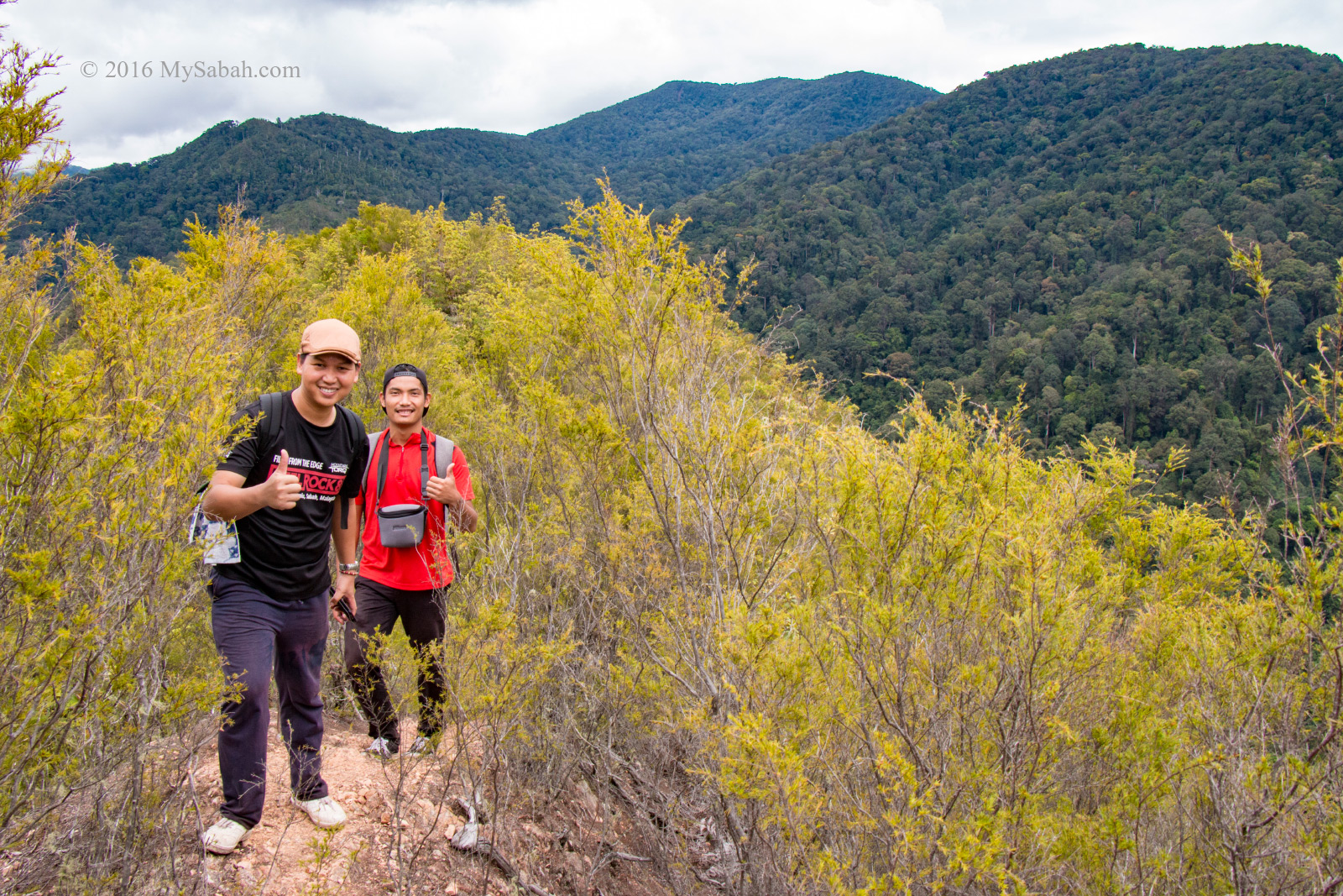
Mount Wakid is far ahead
When we walked in paddy fields and meadow in open space, the sun was baking us. It’s so warm and I saw no farmer working in the field. Luckily I brought an umbrella so I just used it. Other climbers may think that I’m a wuss. Anyway, I think it’s a good idea because the shade reduces the heat and keeps me comfortable.
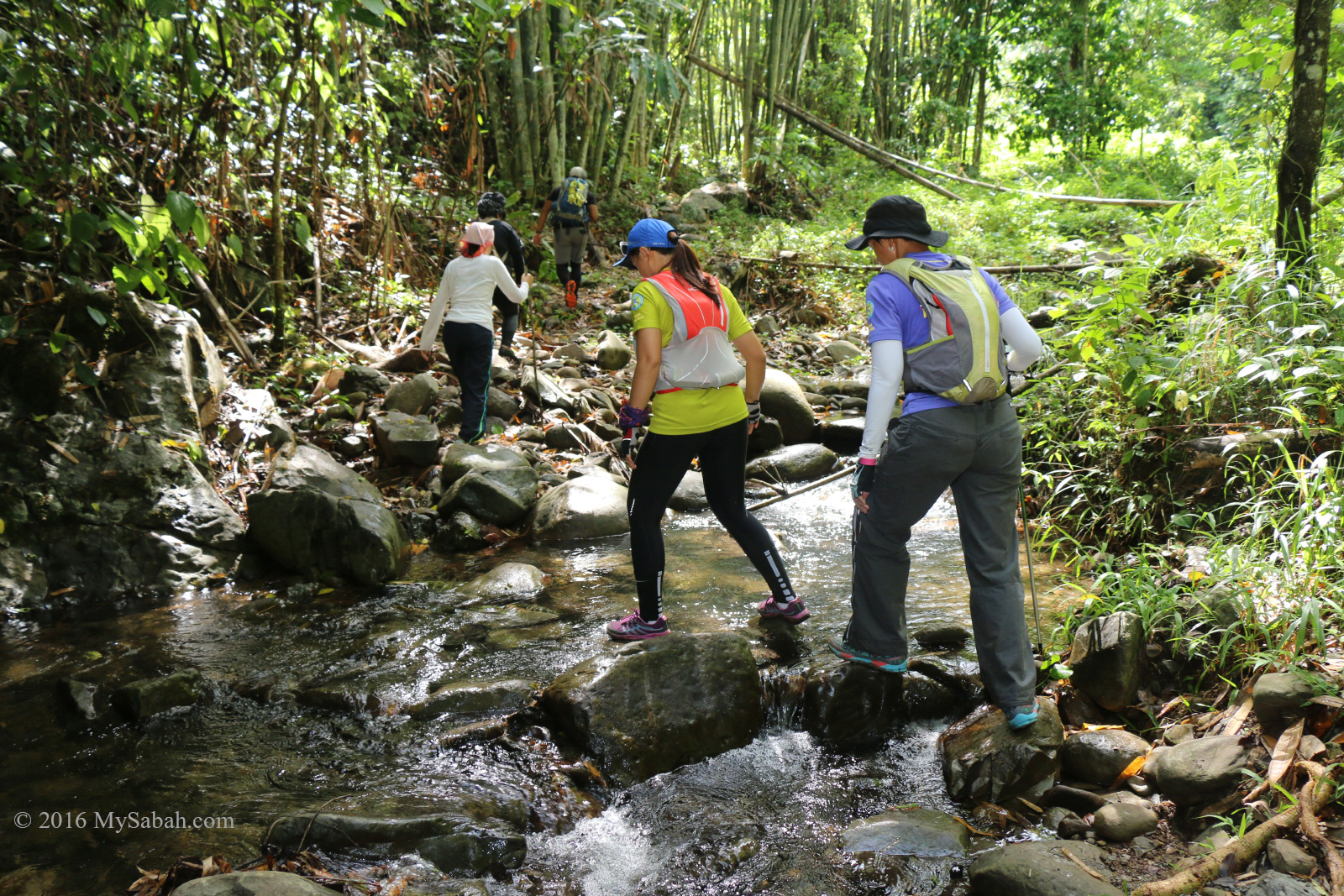
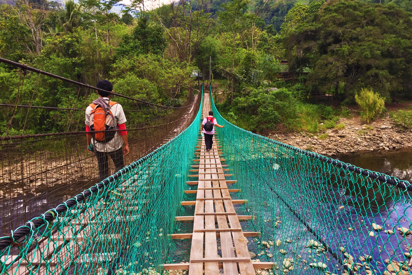
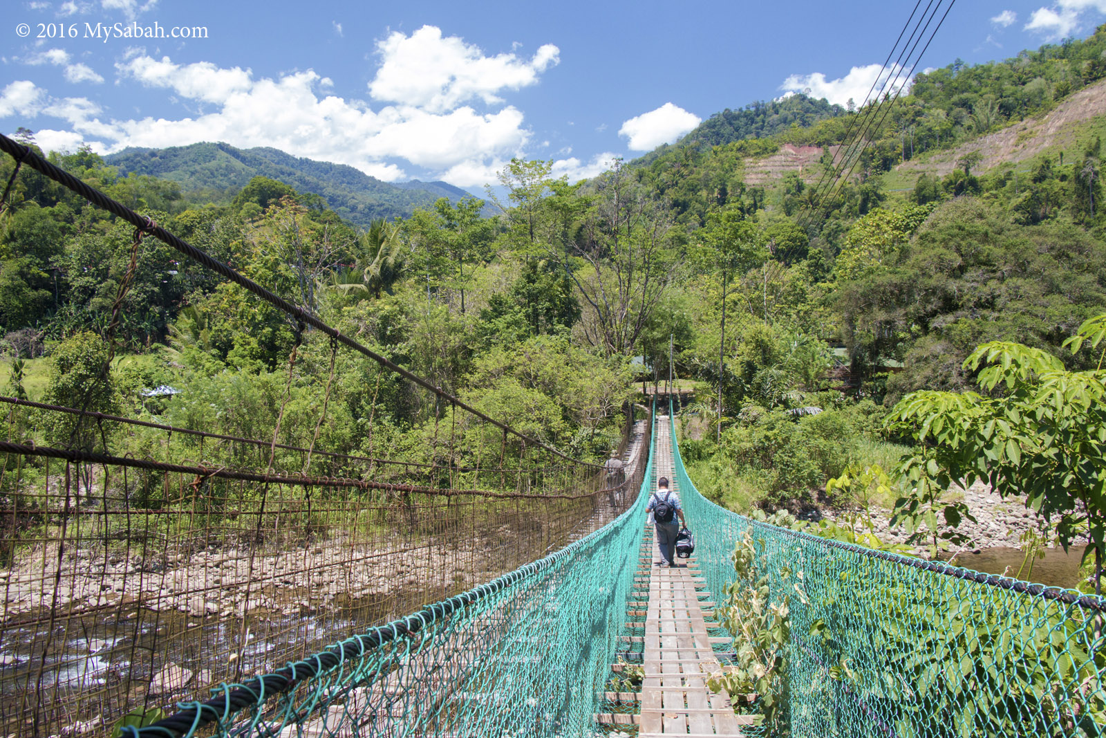
Crossing the creek
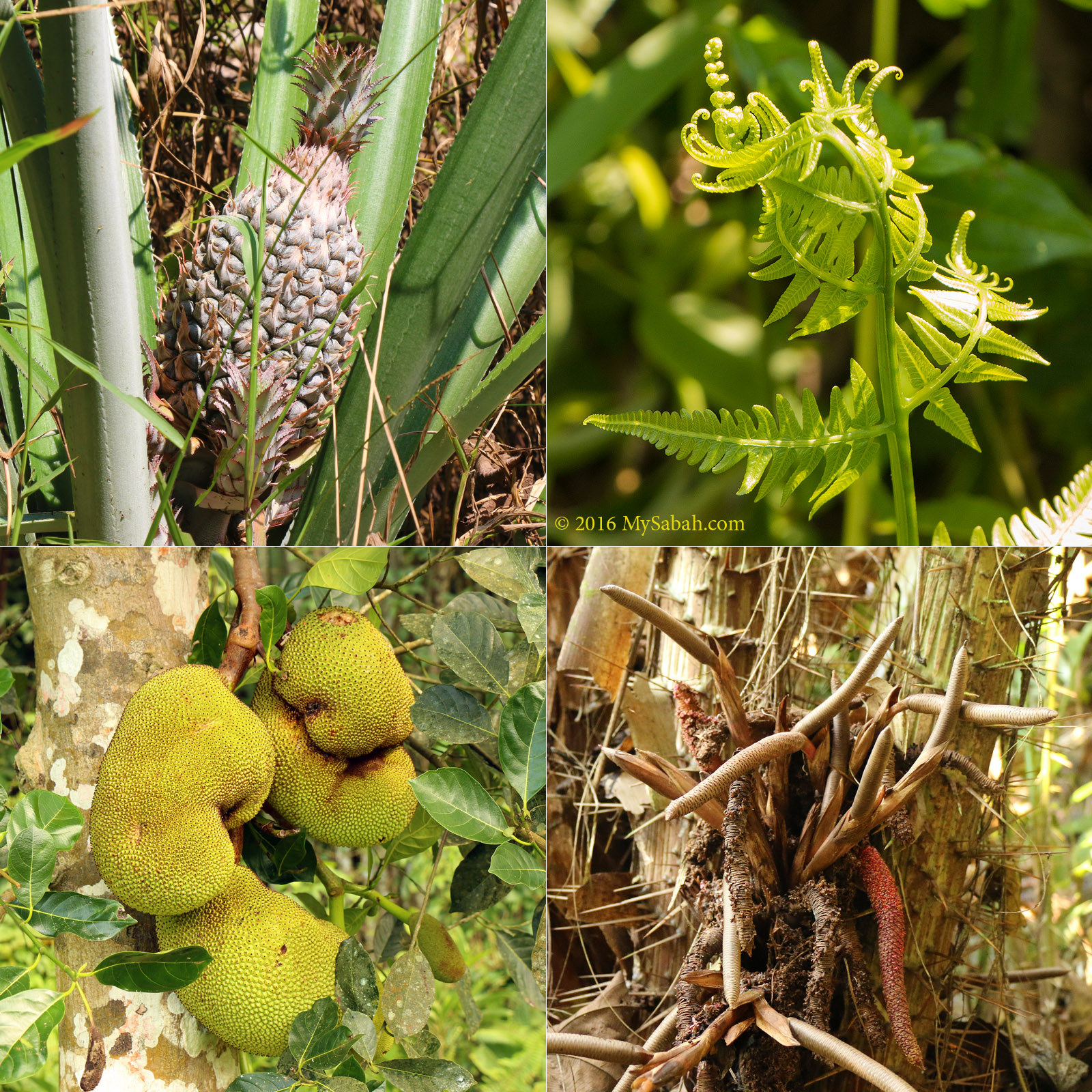
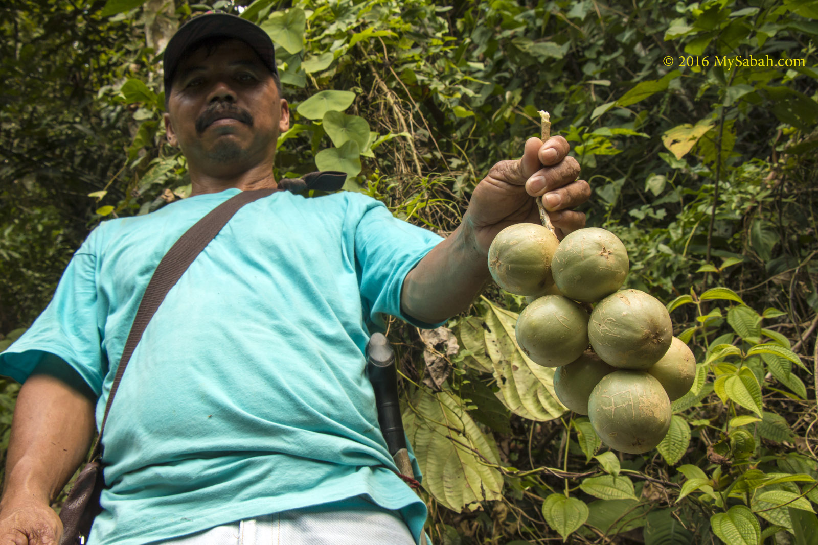
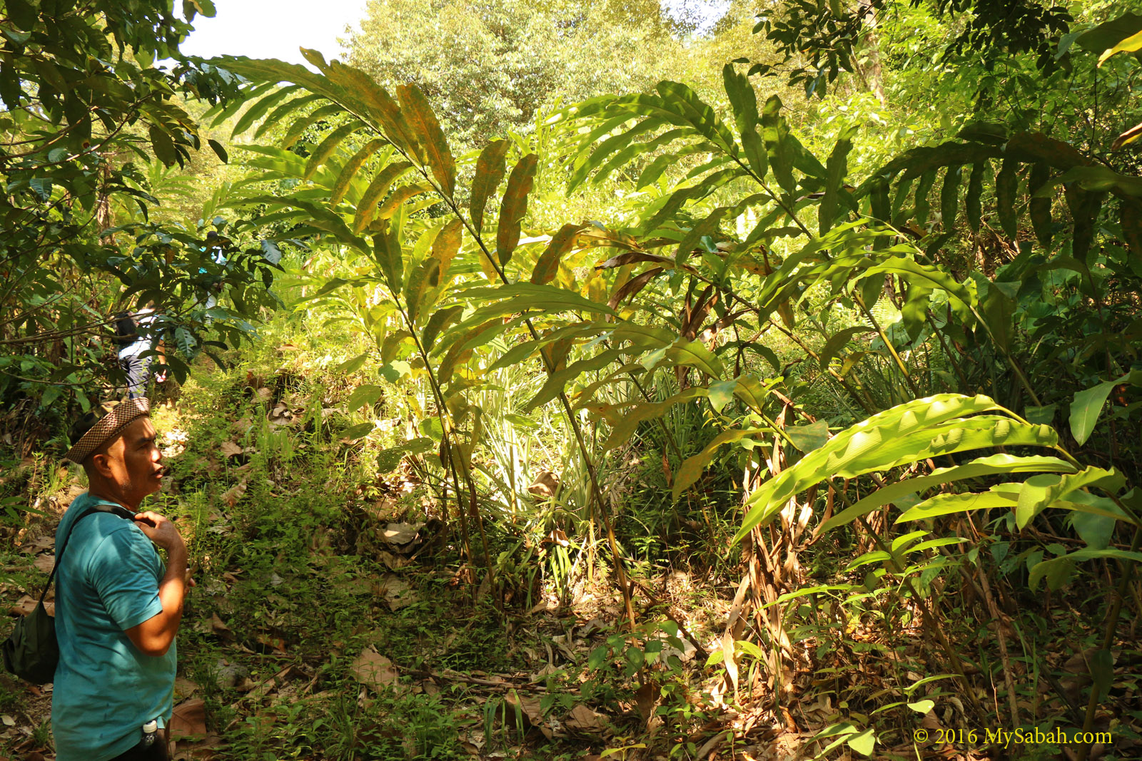
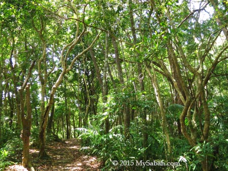
We crossed a few creeks without getting wet. The water is cold and super clean. I saw some “salad rivers” because the water is planted with a lot of leafy green “Sayur Hong Kong” (Watercress), which is commonly used in salad and sandwiches. As we moved deeper to backcountry zone, the forest was getting denser.
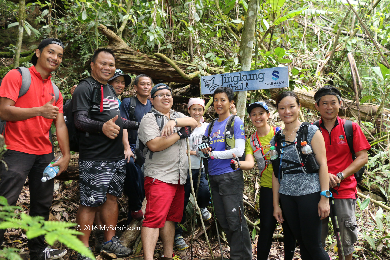
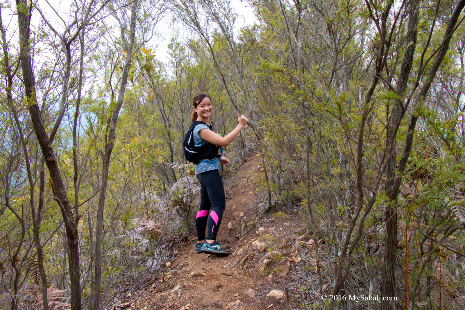
Jingkung Trail
We arrived the starting point of Jingkung Trail around 11:15am and prepared for the last 1 KM push to the summit. Jingkung Trail is a new summit trail which is longer and more challenging than the standard trail. This route is thrilling for veteran hikers who want more adventurous experience.
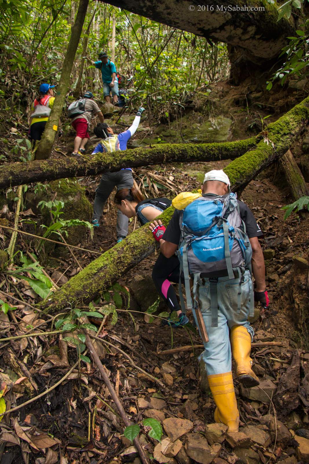
The start of challenging Jingkung Trail
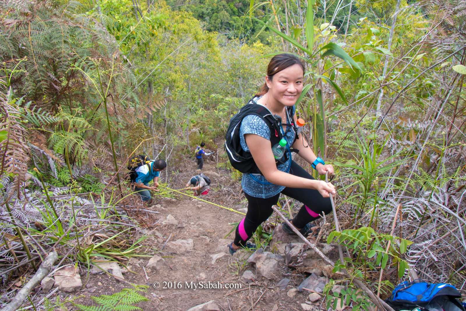
However, Jingkung Trail could be quite tough and risky for inexperienced climbers, though all our newbie team members made it with some efforts. The trail is fairly steep, and we have to use our hands to move up some near-vertical route. We joked with one another that this trail should be named as the “Spiderman Trail”.
Jingkung Trail to the summit
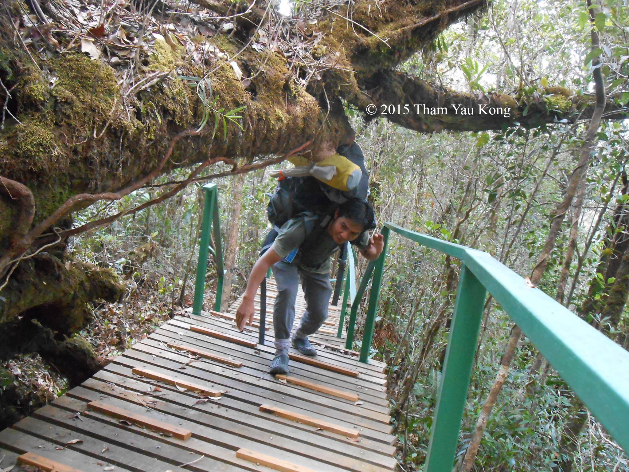
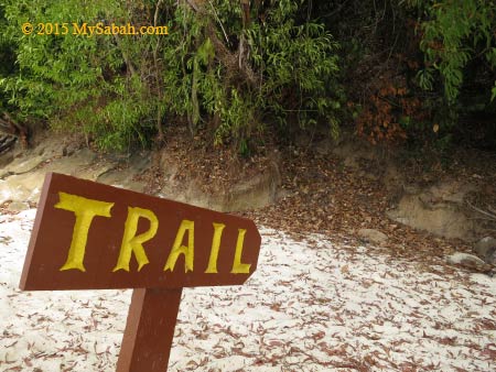
Mount Wakid is a new destination, so the trail is 100% nature and have no climbing aid such as ladder, handrail, boardwalk and trail signage. Our guide setup rope support in a few difficult spots. You would be happy to know that there is no leech all the way.
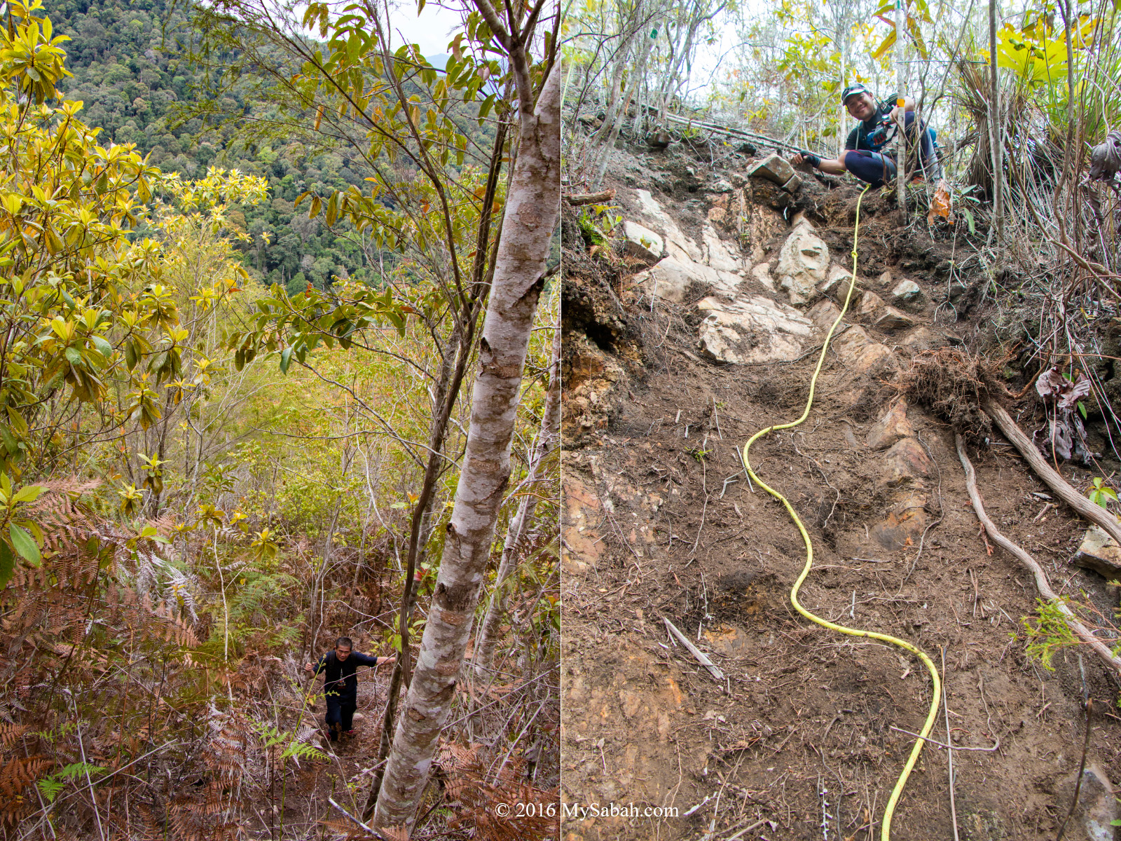
The last 1 KM trail to the top is quite steep. It’s Mr. Jingkung in the photo at the right
Someone says, “Climbing is action, it’s about doing, acting, trying. Words don’t get you up a vertical rock face or to a remote mountain summit.” That’s right, either you are up there, or you are not. Talking won’t take you there. I love the moment of keeping my mouth shut and fight my way up with crystal clear goal, as I believe action speaks louder than words.
Reaching the ridge
As I was approaching the top at crawling speed, the trees became shorter and sparser. I knew I was near when I saw light on top. Then we we were welcomed by a PVC banner which meant we had reached the ridge and the summit wasn’t far away. I was gasping for breath and glad that the hardest part was over.
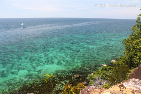
View from the mountain (behind the PVC banner)
The Peaks
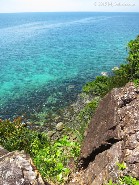
Here we were on the ridge of Mount Wakid. At this altitude, I expected to see lower montane forest with mossy environment. Instead, the top of Mt Wakid is dominated by a dwarf tree called Pokok Tagai locally. Its yellowish green leaves form the beautiful cap of Mt. Wakid.
The top of Mount Wakid is covered by these evergreen shrubs only 1 to 6 Meters high
Special Thanks to Dr. Arthur Chung, Dr. Reuben Nilus and John Sugau for the identification of the vegetation. According to them, these trees are Kerangas forest with berungis trees (Baeckea frutescens) and bracken fern (Pteridium esculentum), and part of the forest was burnt in 1983.
The color of Mt. Wakid is a big contrast with adjacent mountains
I googled and learned that the leaves and flowers of berungis tree can be harvested for medicinal uses and to make a refreshing herbal tea. All aerial parts of the plant are credited with antibacterial, anti-febrile and haemostatic properties. However, the local community doesn’t seem to use this plant.
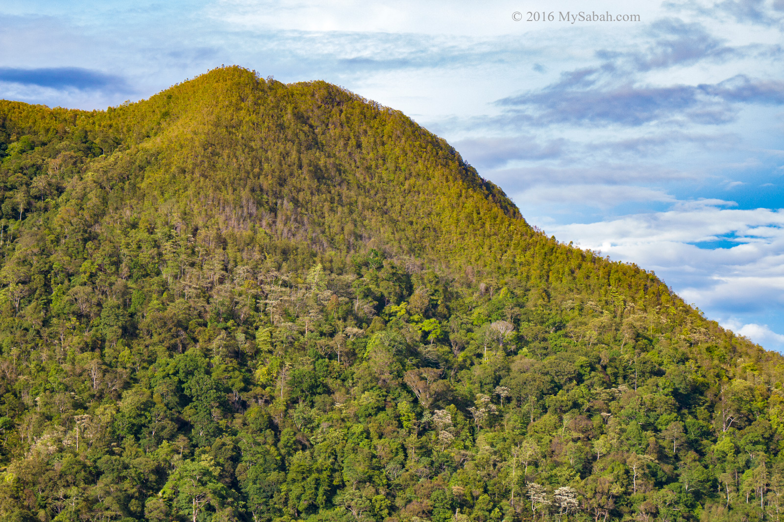
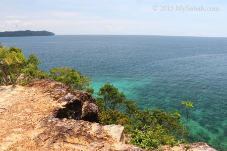
You can see two distinct forest of Mt Wakid, the darker lowland rainforest and lighter heath forest (Kerangas) near the top
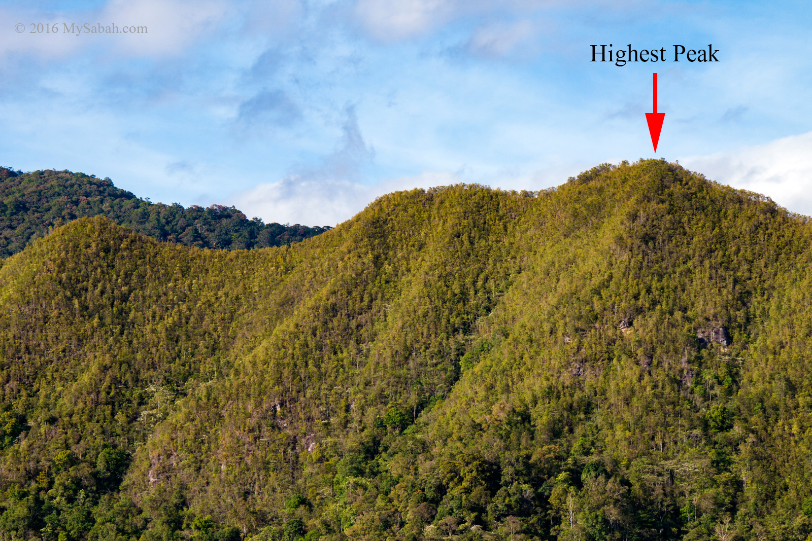
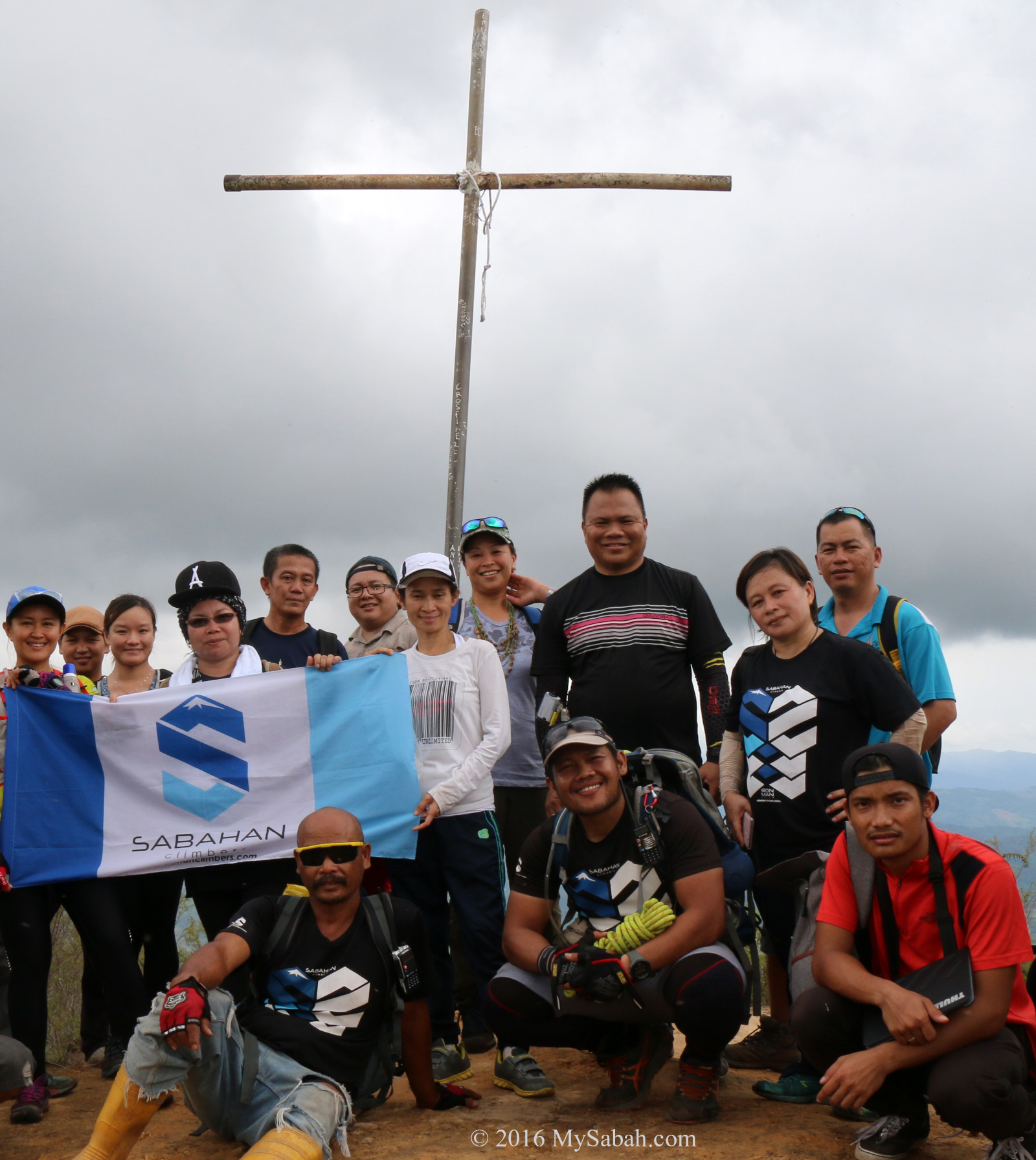
We walked along the narrow ridge. After 10 minutes, we arrived the summit of Mt Wakid marked by a trig station. There are six peaks on Mount Wakid, and the highest peak is called Peak No.3. We celebrated the moment by taking a lot of photographs.
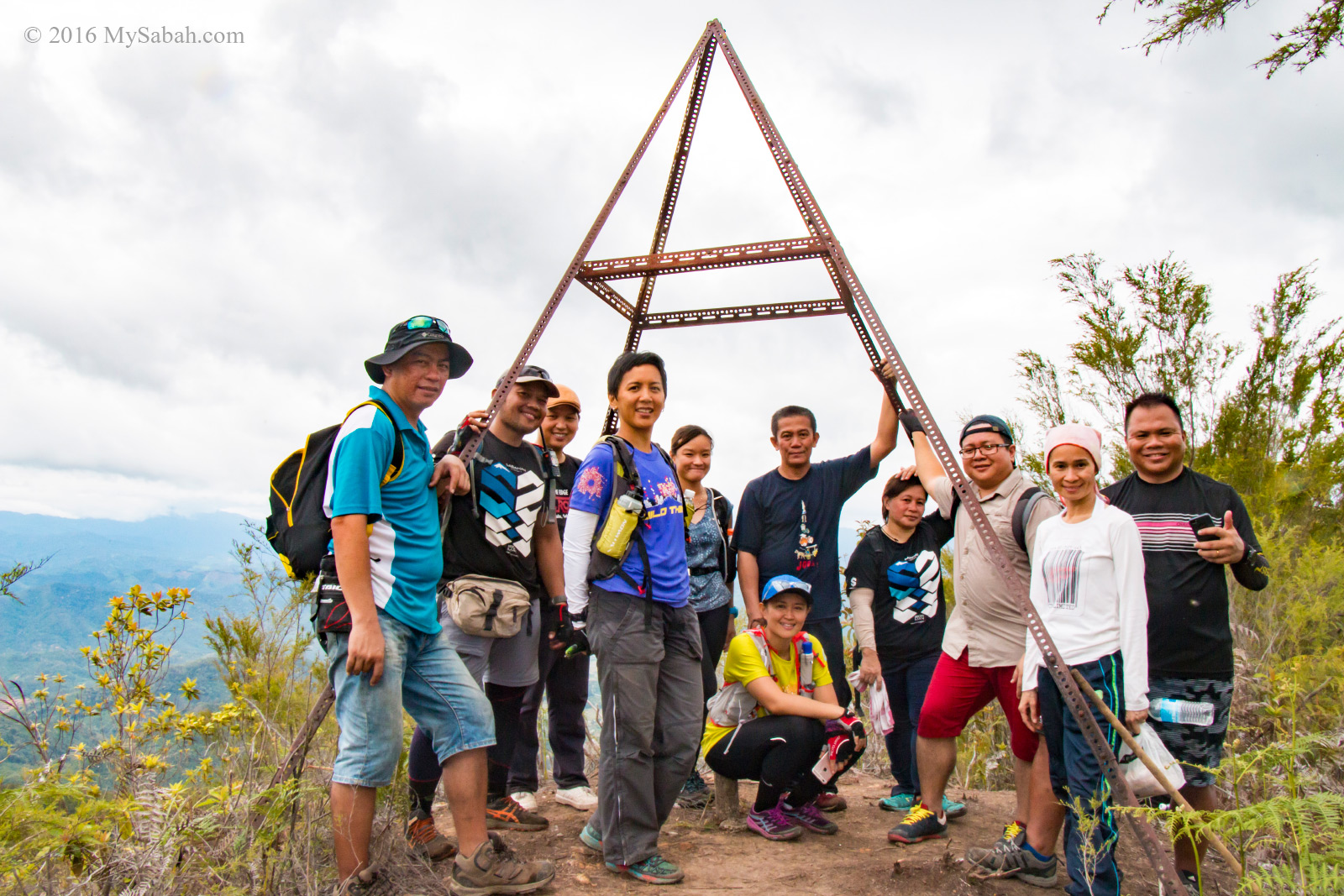
Everyone made it to the highest peak of Mt. Wakid (Gunung Wakid)
Climbers are often asked why they climb. We would reply, “If you have to ask, you’ll never understand,” so you have to climb a mountain to find the answer. When asked “What is the use of climbing Mount Everest?”, George Mallory, an English mountaineer, said, “It is no use… What shall not bring back a single bit of gold or silver, not a gem… What we get from this adventure is just sheer joy… We do not live to eat and make money.”
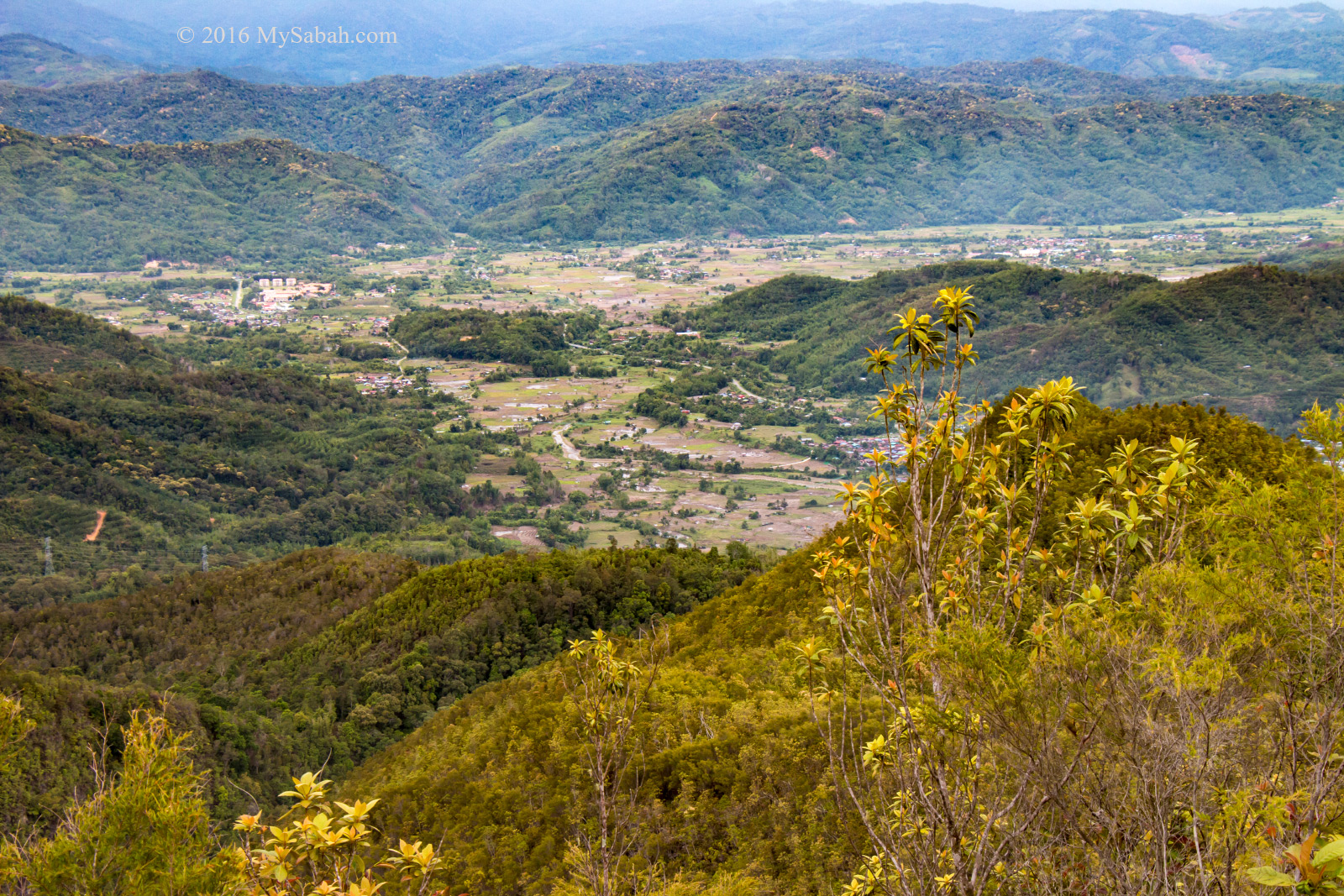
View of Sunsuron Village from the mountain
Therefore, if money can’t buy you any happiness, go climb a mountain! I also can’t explain why it’s cheerful, probably mountain is nearer to heaven. From the ridge, I can see that we are surrounded by rolling hills, lush forest, gorge and valley, what a spectacular view.
You could see the dense undergrowth of Pteridium esculentum (Esculentum means edible), commonly known as Austral bracken or simply bracken.
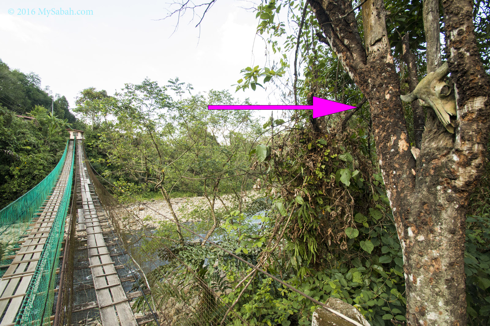
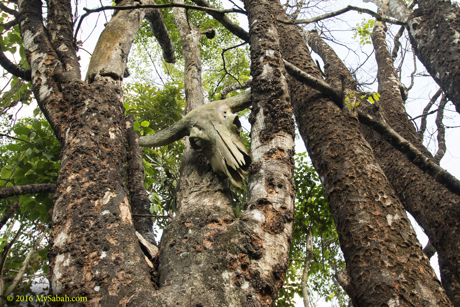
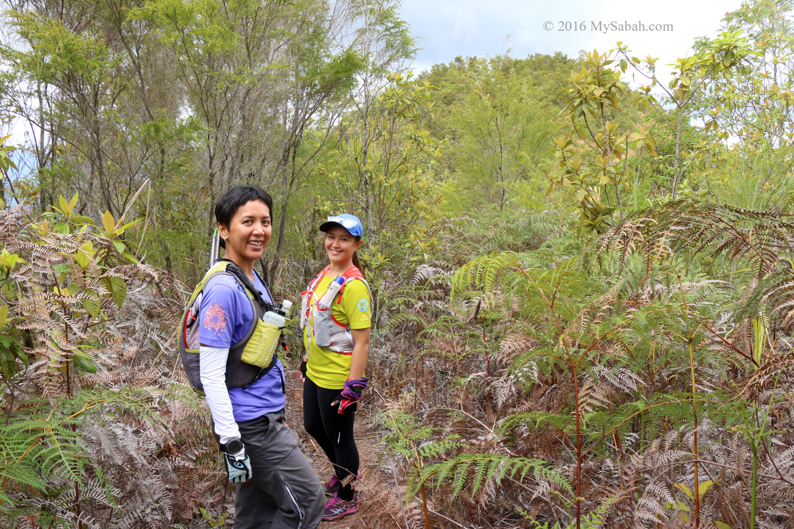
We continued moving to the next peak along the spine of Mount Wakid. By the way, Mount Wakid has a secret that our guide doesn’t want me to share it online. You can ask them if you climb.
Group photo on Peak No.1
It’s an easy hike. Within 20 minutes, we reached Peak No.1, which has a big cross erected. Every year before Good Friday, the local Catholic paid homage to Jesus Christ by carrying a big cross to this peak, but now this annual activity is moved to Kolindasan Hill.
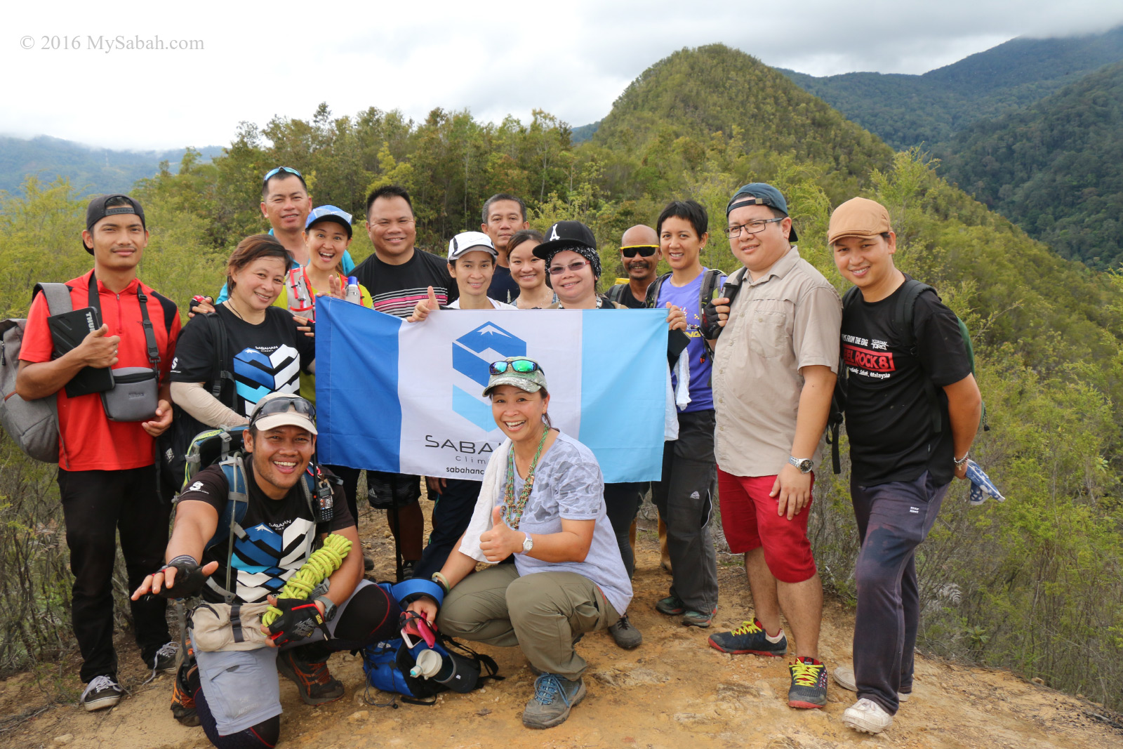
Another group photo on Peak No.1 but facing different side.
If treated well, mountains give us clean water and fresh air, or they will hit back with flood and landslide. I’m glad that the forest on hills and mountains of Tambunan are in good condition, making Tambunan one of the greenest districts in Sabah. It’s sad that the Signal Hill of KK, which was used to be a lively hill with dense jungle, now has became a “Condo Hill”.
The following video is a good overview of our climb.

Descending
Next we were on our way descending to Sunsuron Village via the Standard Trail, which is about 4.75 KM in distance. Climbing up a mountain isn’t easy, but climbing down is more difficult. It’s advisable to bring packed lunch to the peak, so you can restore your energy level after eating.
Descending to Sunsuron Village
Though the Standard Trail is less challenging than Jingkung Trail, there are a few steep sections that need rope support, which our mountain guide has provided. Even if it was drought season and the soil was fairly dry, I still found it hard not to slip.
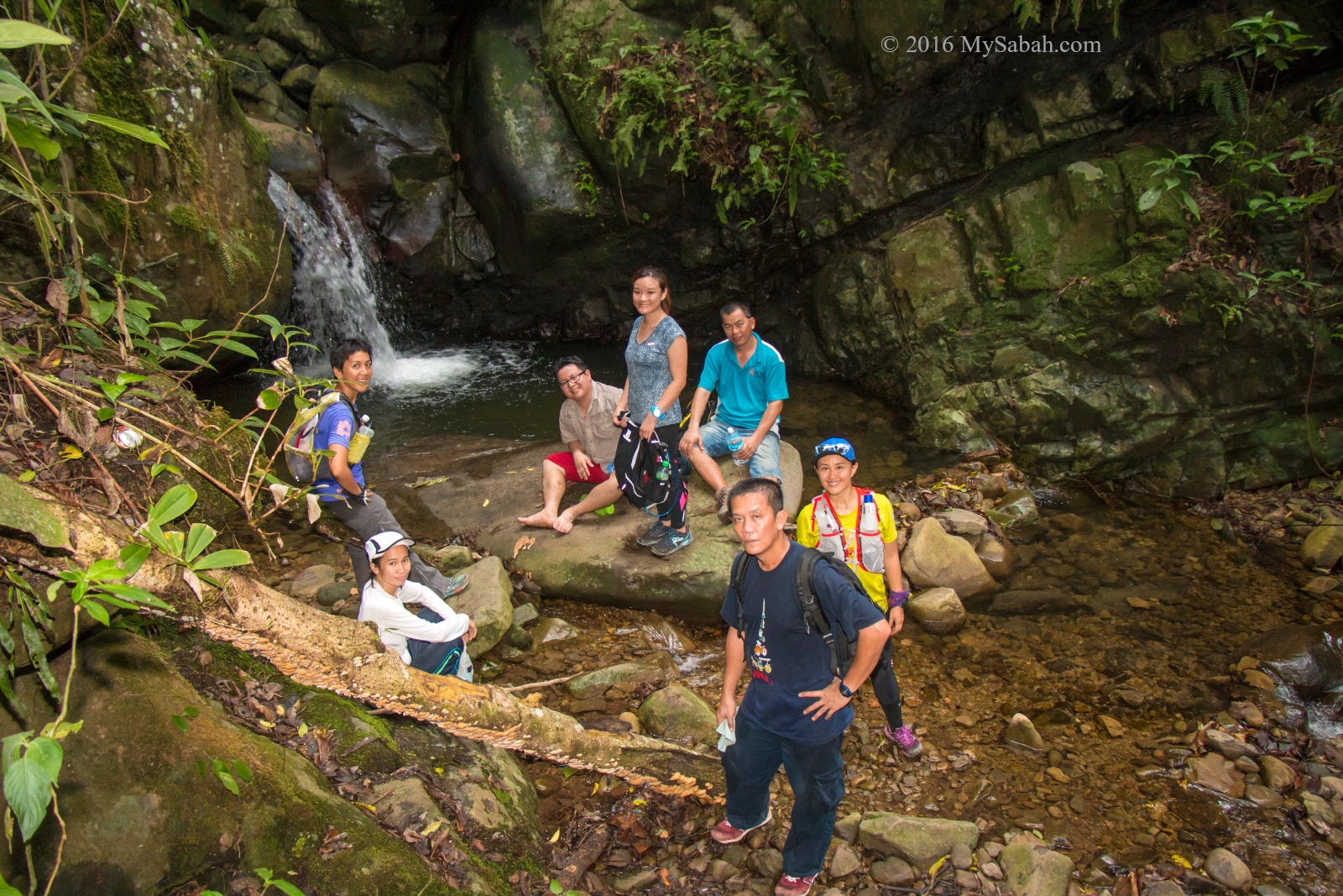
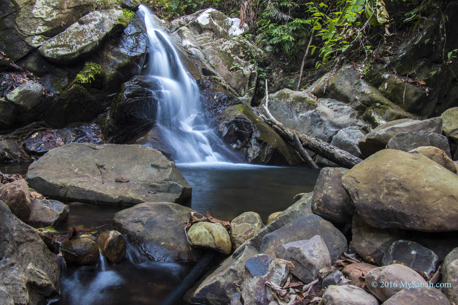
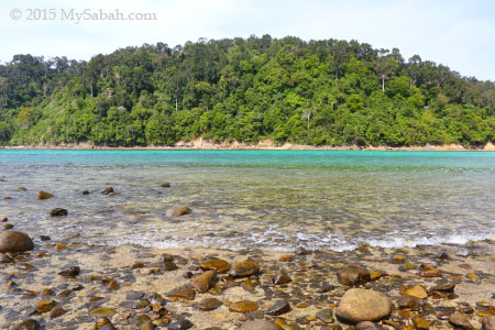
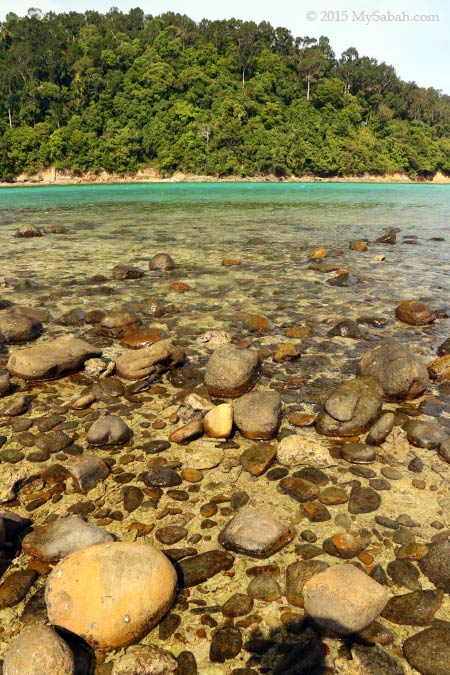
Small Kolopis Waterfall
The descending wasn’t easy, but it was faster and less tiring. We arrived Kolopis Waterfalls near the foothill after an hour. It’s a cascading waterfall with the small and deep waterfall in upstream and the big one 10 Meters downstream.
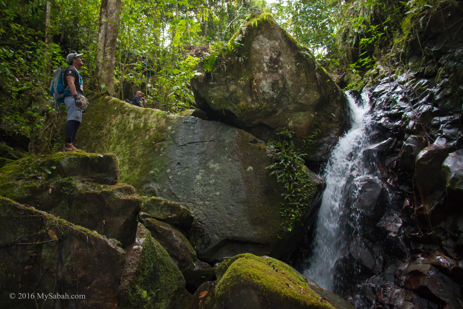
Big Kolopis Waterfall
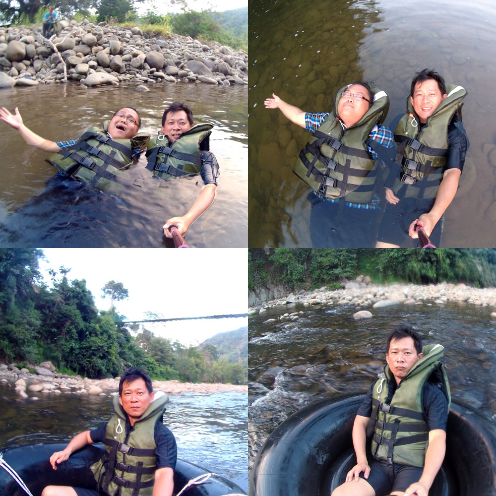
The big Kolopis Waterfall is a great spot for abseiling. A few of us couldn’t resist the temptation of clean mountain stream and decided to take a dip in the cold water.
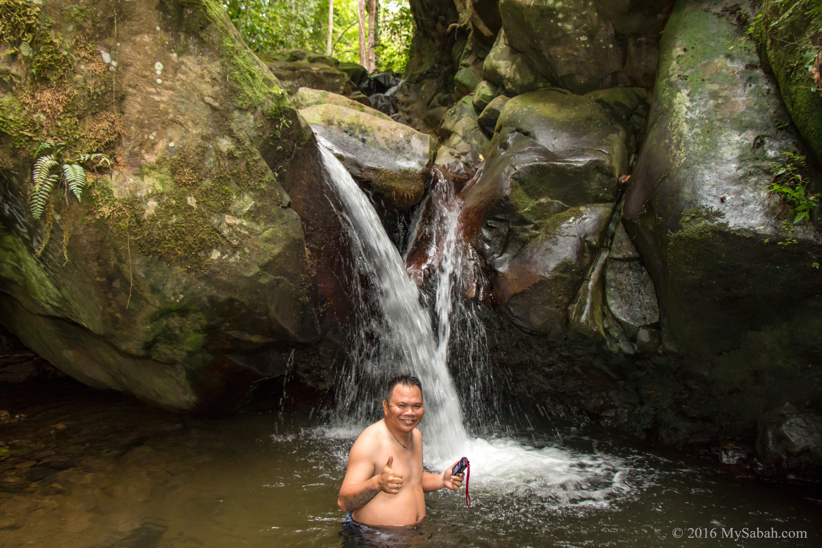
Swimming under Kolopis Waterfall
Mountains are water towers of the earth because they provide 60 to 80% of the world’s fresh water. It’s quite amazing that Mount Wakid has flowing water after many dry months. Forest can do the magic of holding and releasing the water slowly.
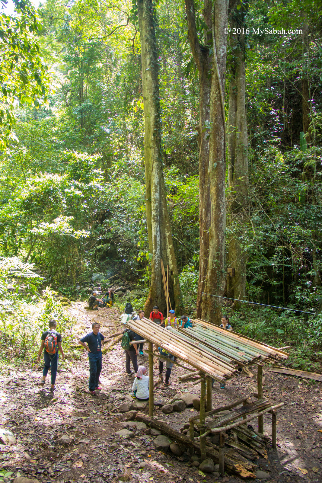
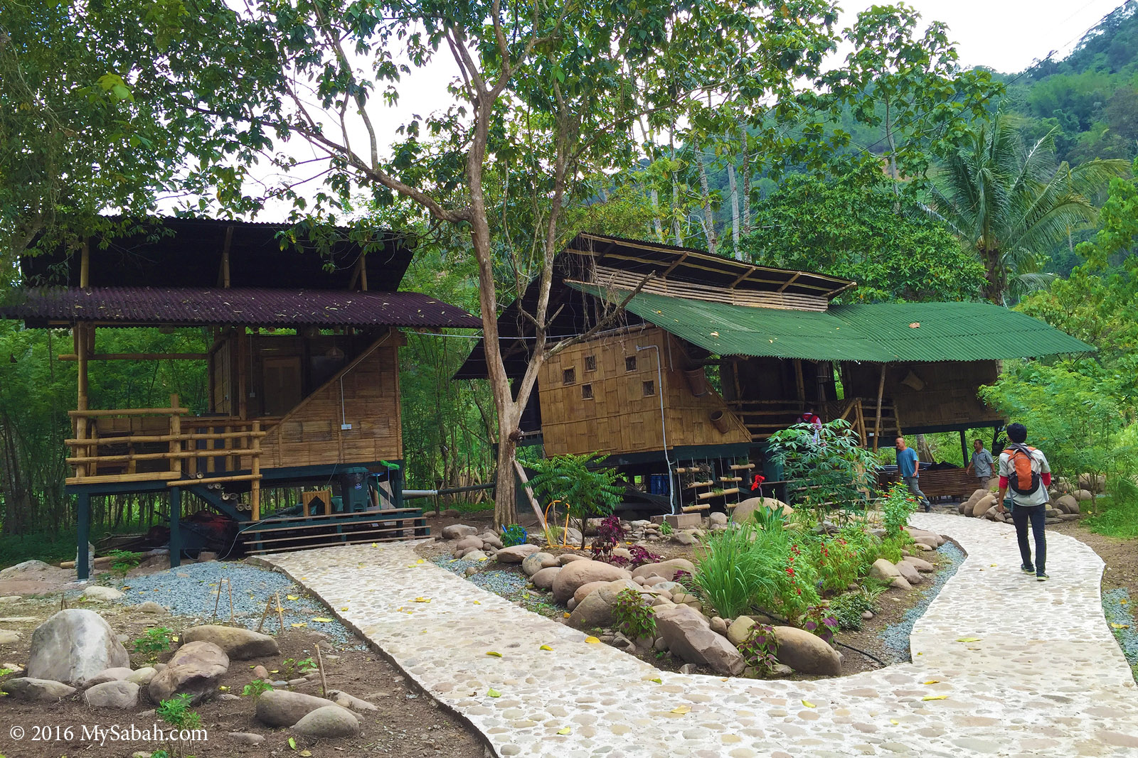
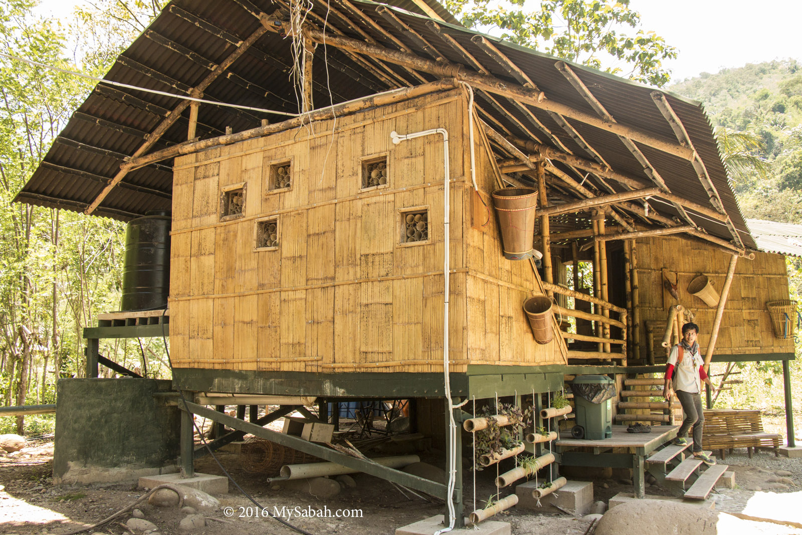
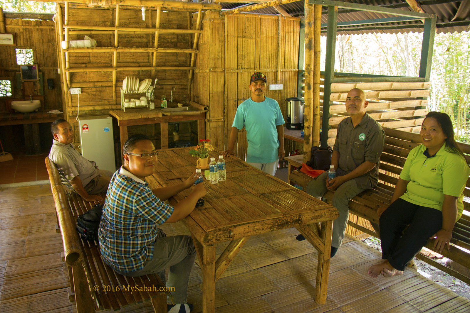
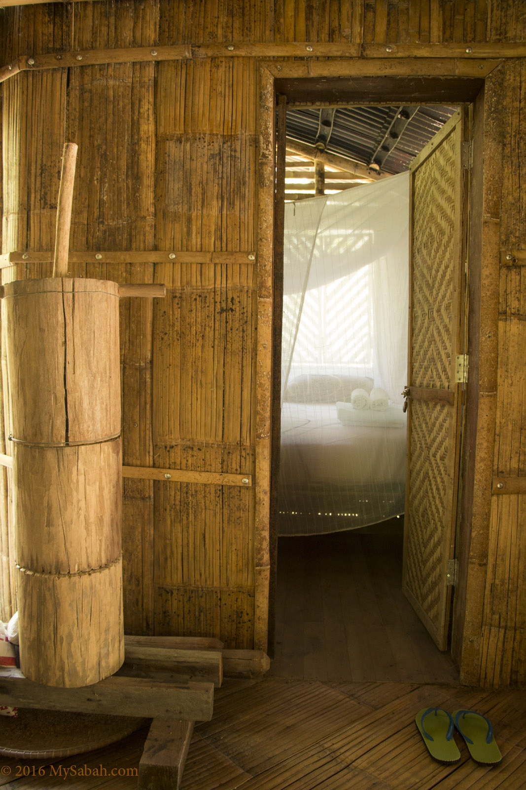
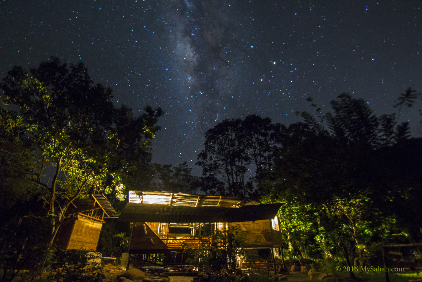
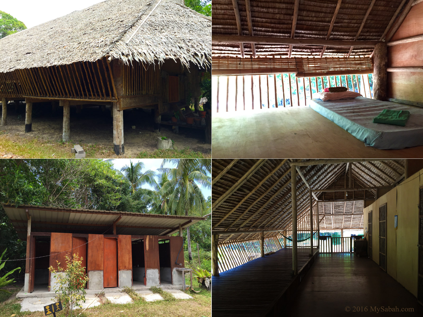
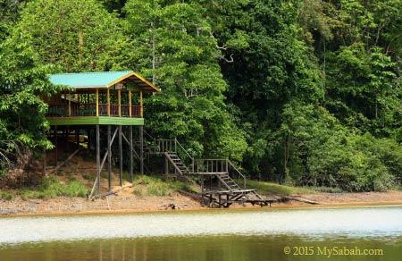
Camping site at the foothill
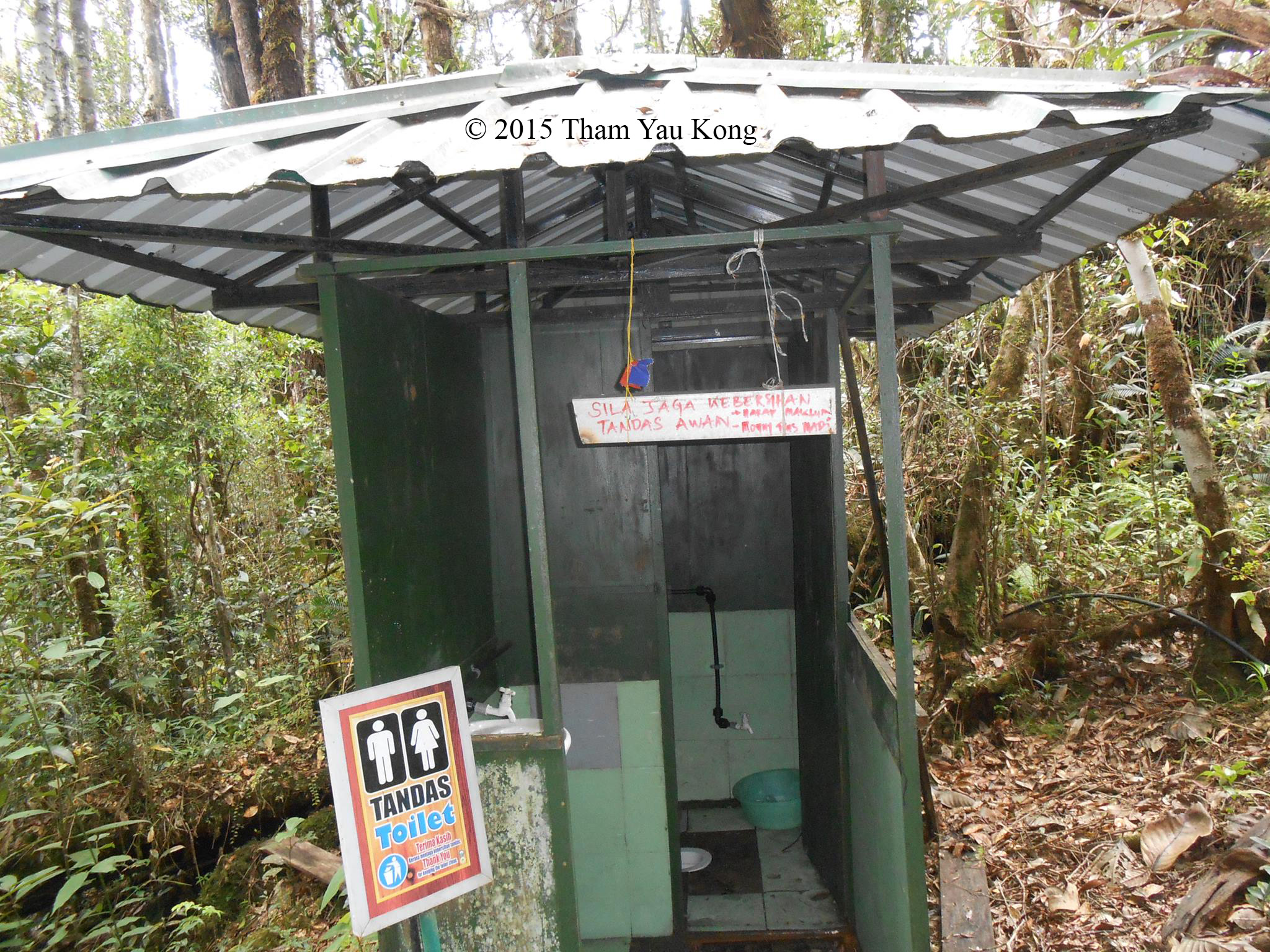
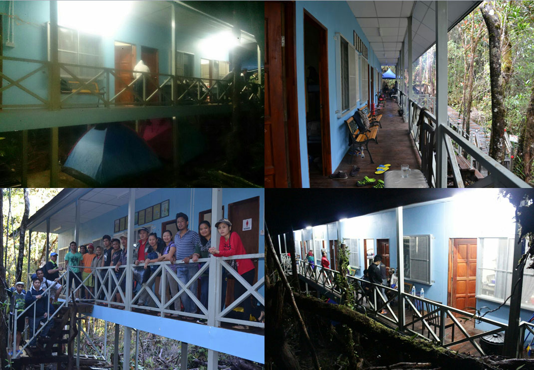
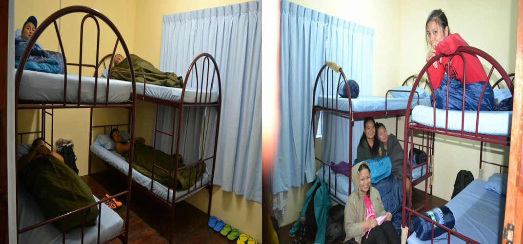
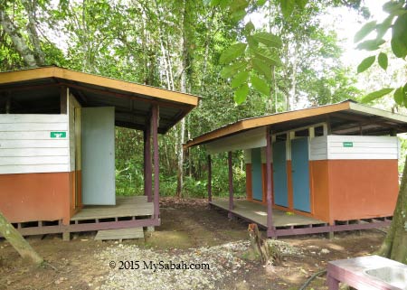
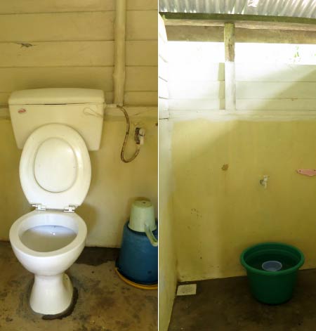
Not far away from the waterfall is a camping site next to a stream. For those who want to enjoy the nature more, they can join the 2-day camping tour which includes mountain climbing, camping, abseiling at waterfall (by certified climbers) and night walk. A toilet is constructed for this campsite recently.
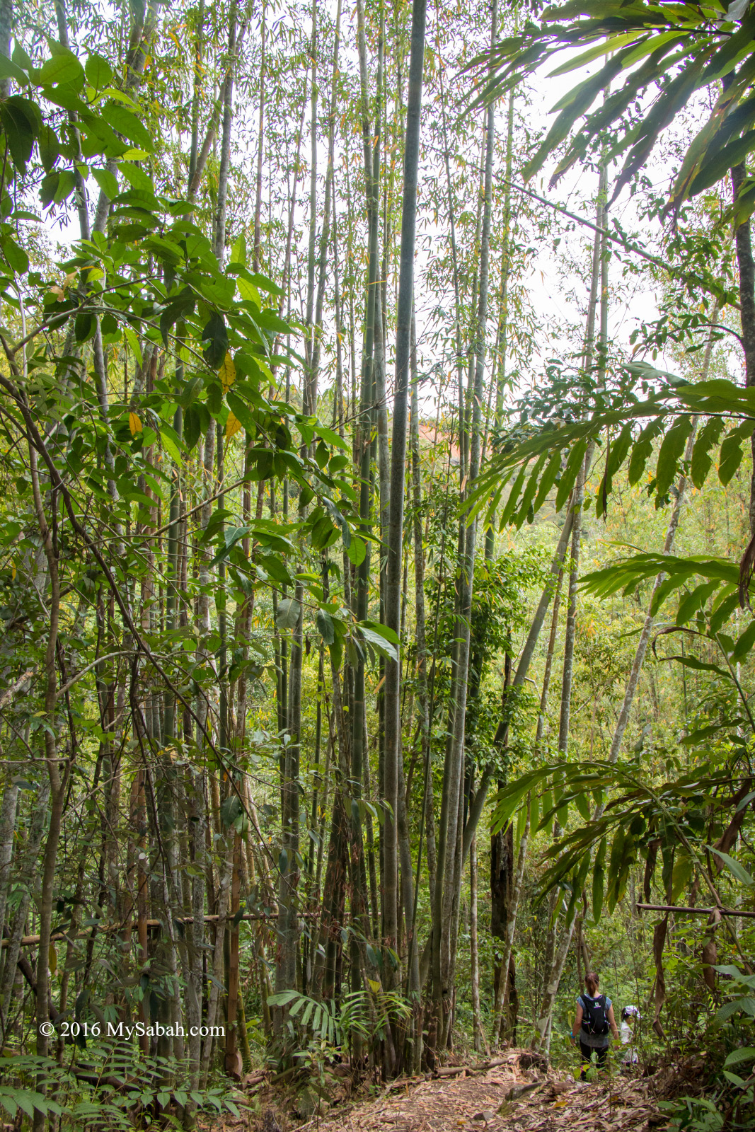
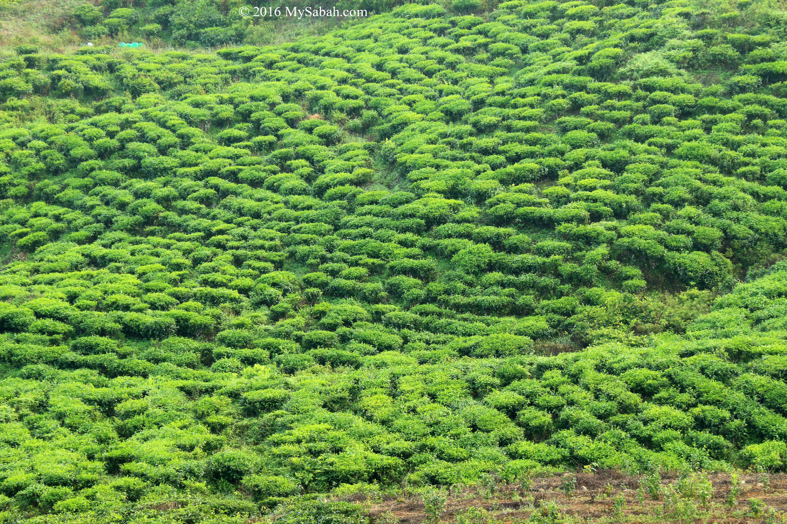
Tambunan is also known as the Valley of Bamboo
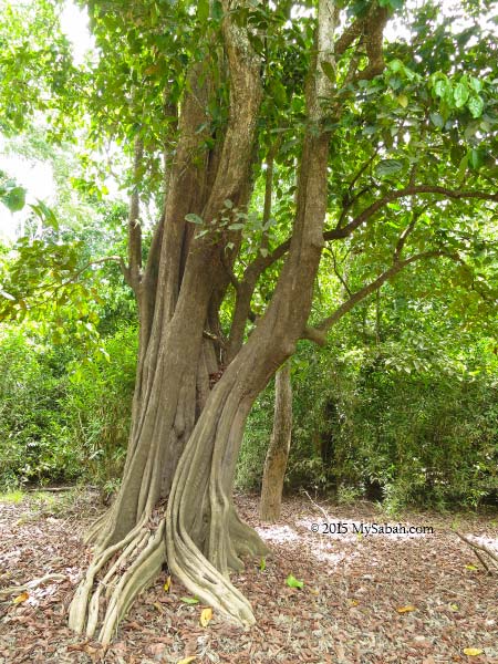
During the climb, you would see bamboo everywhere, that’s why Tambunan is called the Valley of Bamboo. In Malaysia, there are 80 species of bamboo, and some can grow more than 20 Meters high.
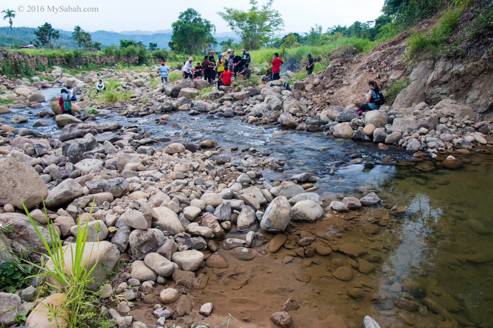
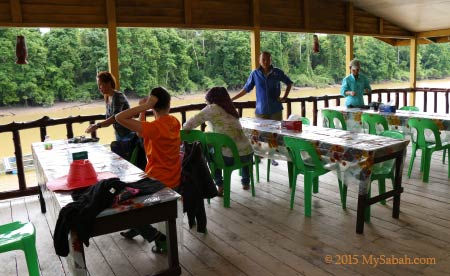
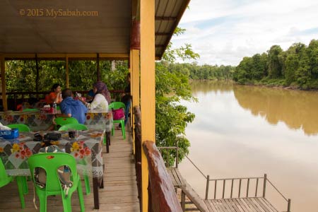
Picnic next to Sunsuron River
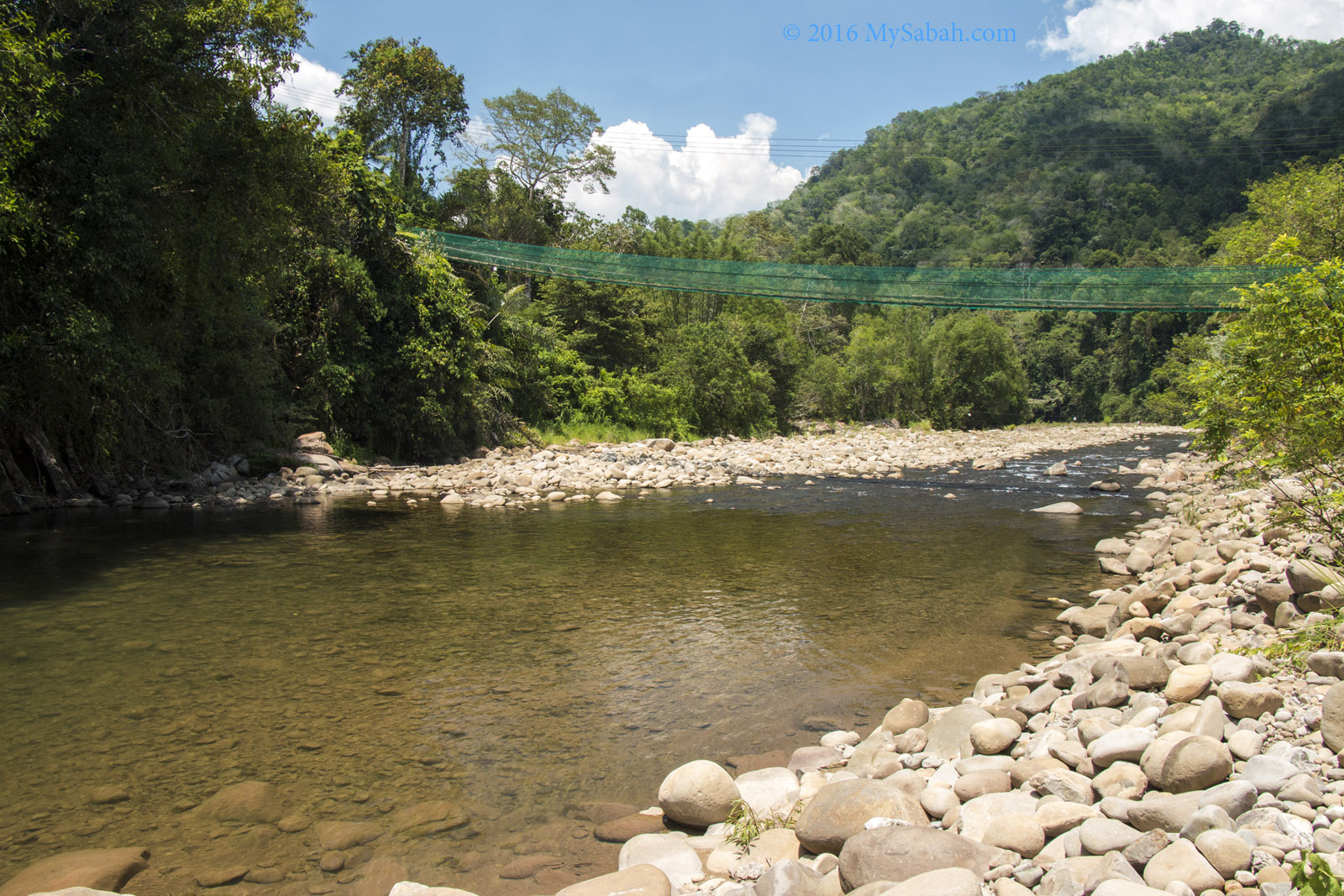
Finally we arrived the farmland of Sunsuron Village at the end of the climb.
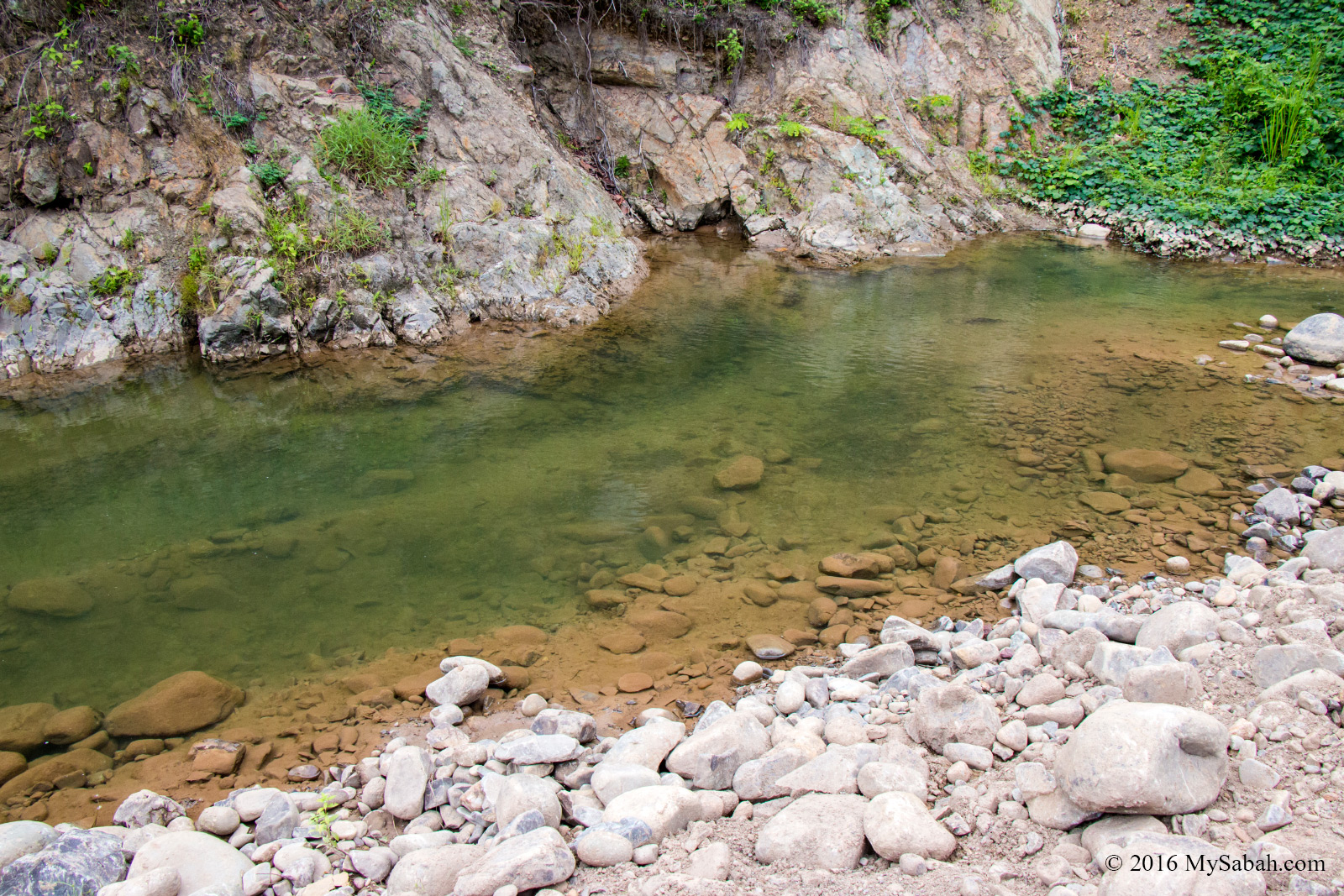
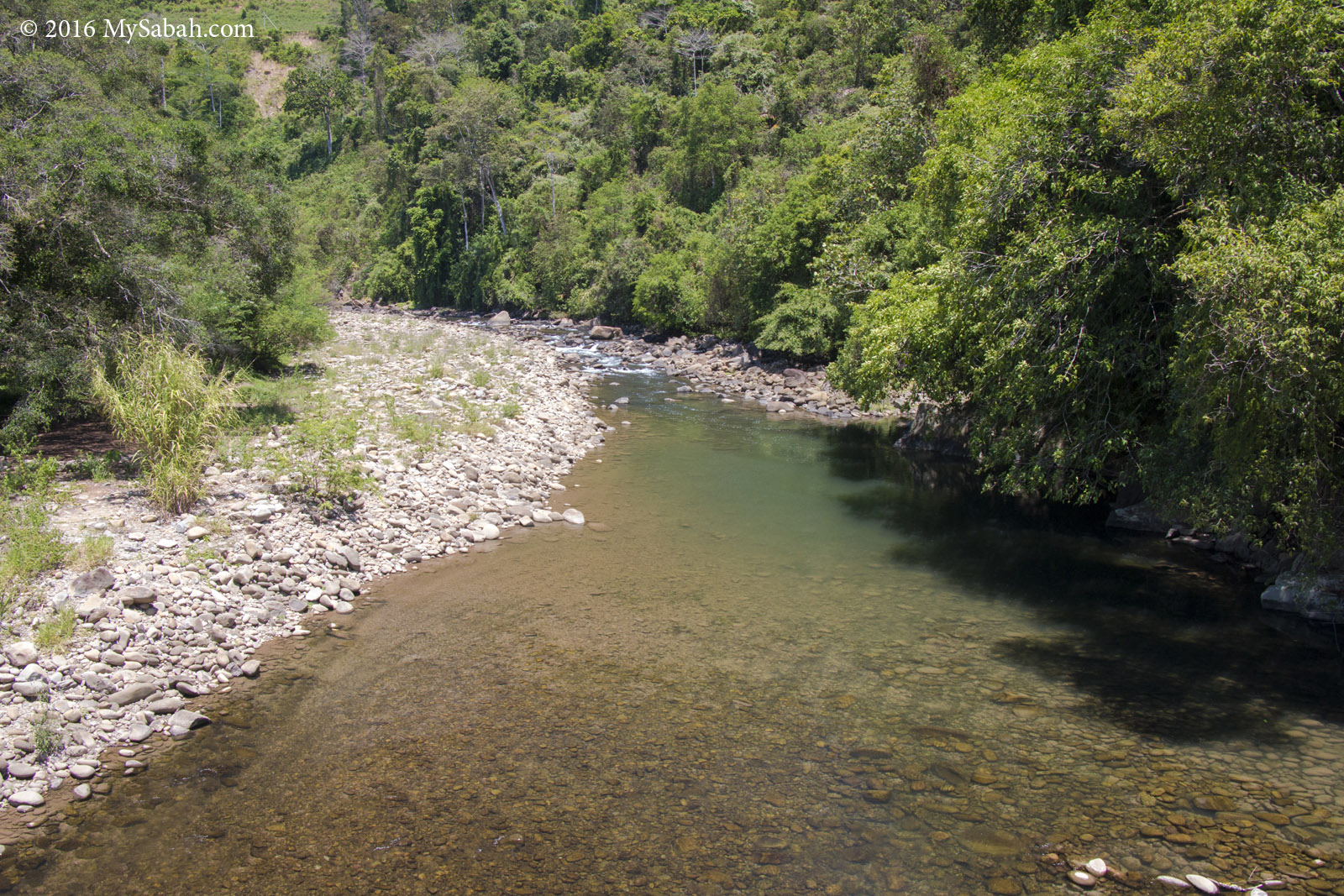
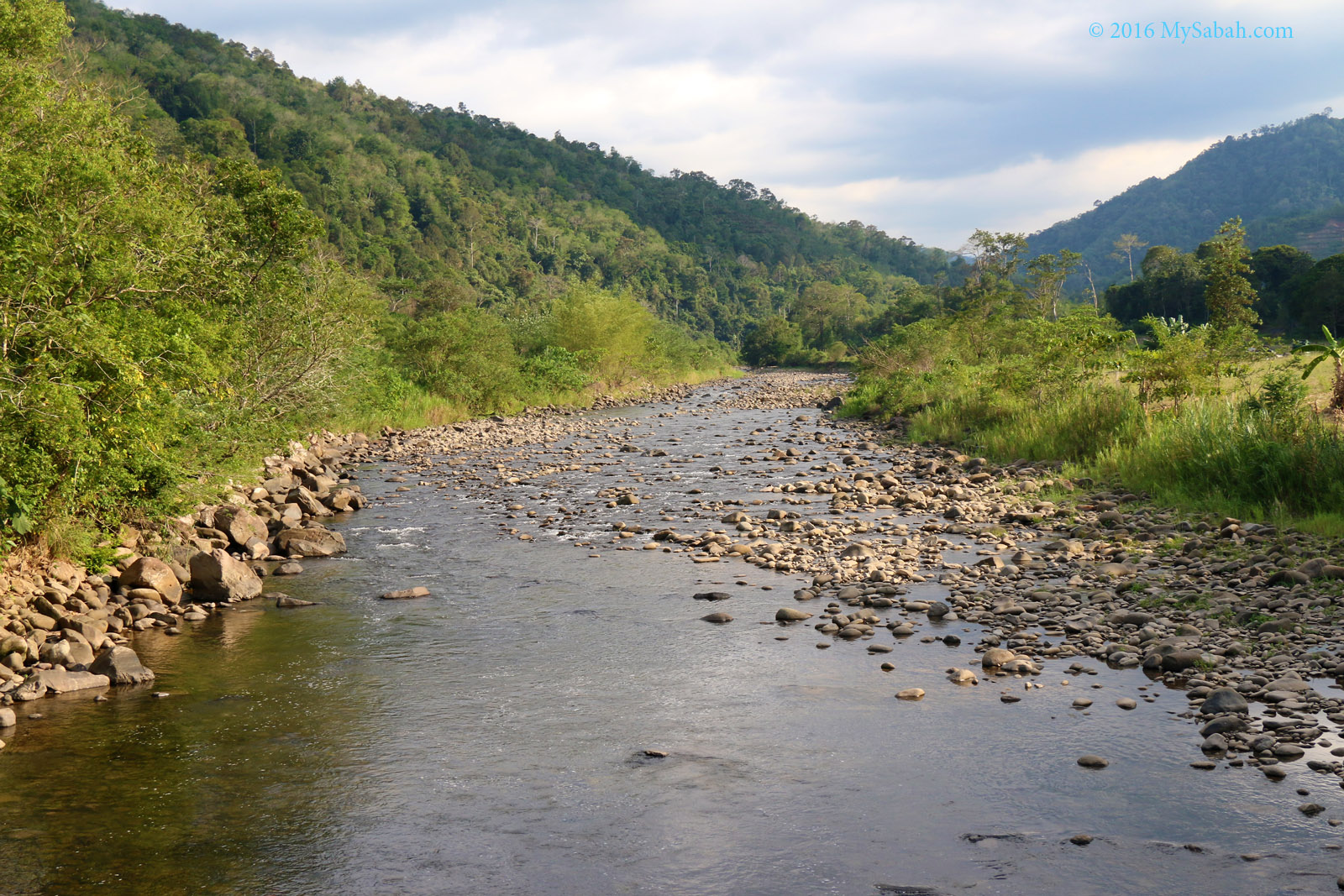
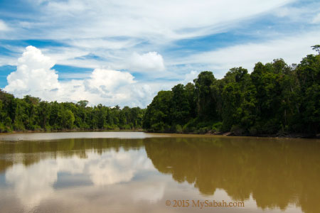
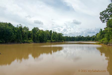
Crystal clear water of Sunsuron River
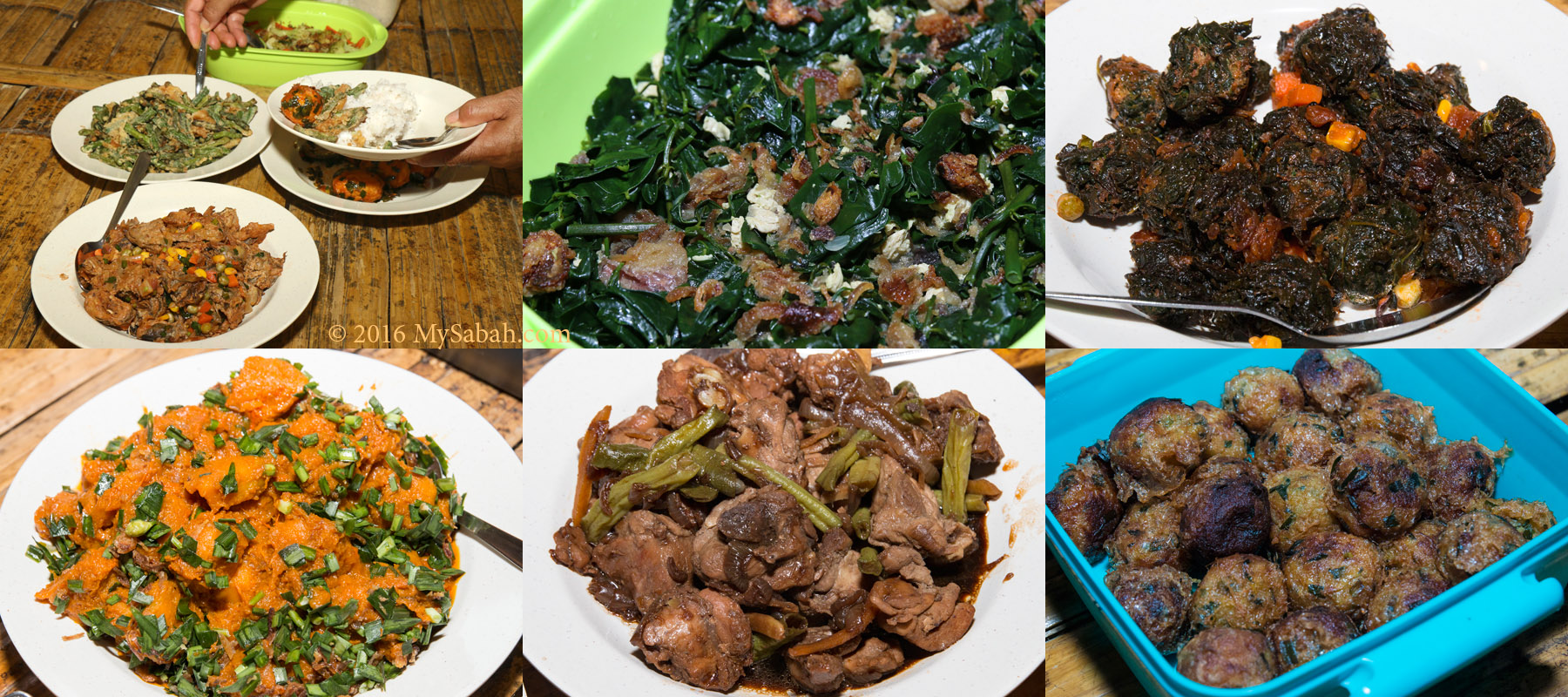
There were a few local farmers having their lunch at the riverside. They are so friendly that they even invite us to join them. Their food is really fresh and yummy.
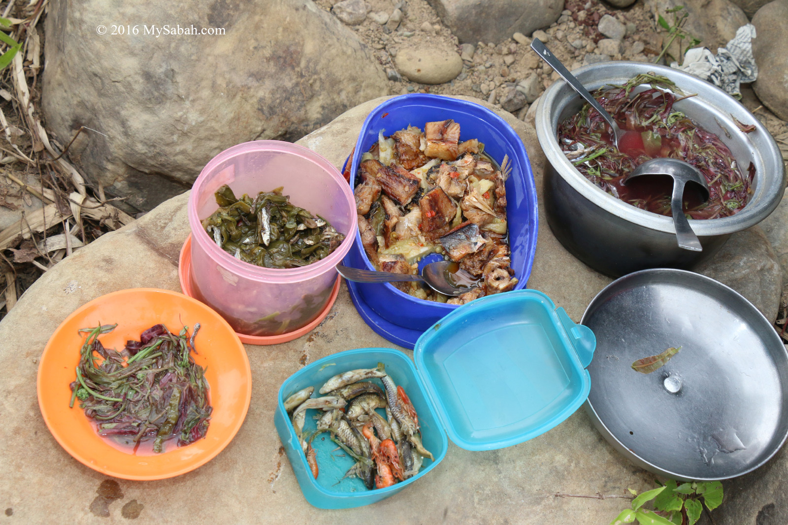
River side picnic with local food
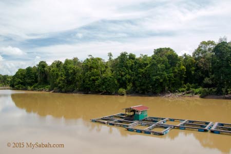
In this trip we see not only the beauty of mountain, but also the beauty of clean rivers. Tell me, how often you see river as clean as the one shown in photos here?
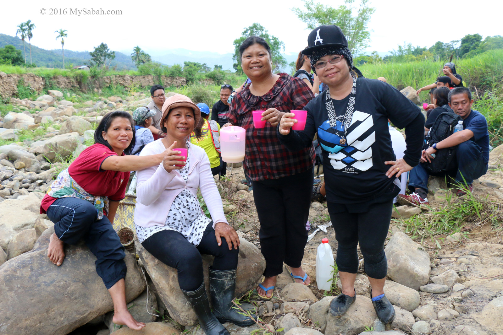
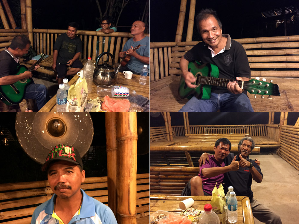
Enjoying drink with the villagers at the river side
A toast to Tambunan, a land free of pollution.
How to get there
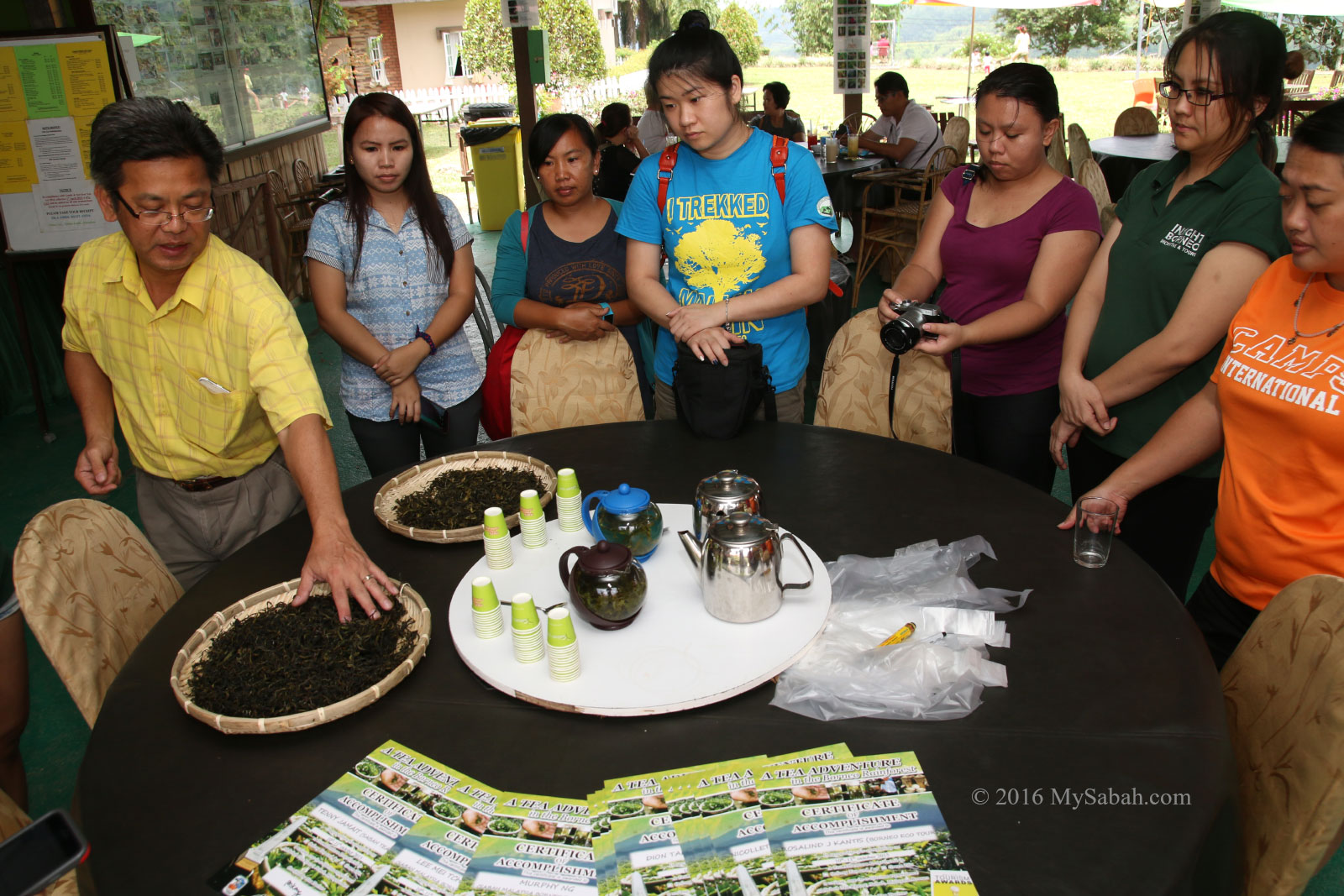
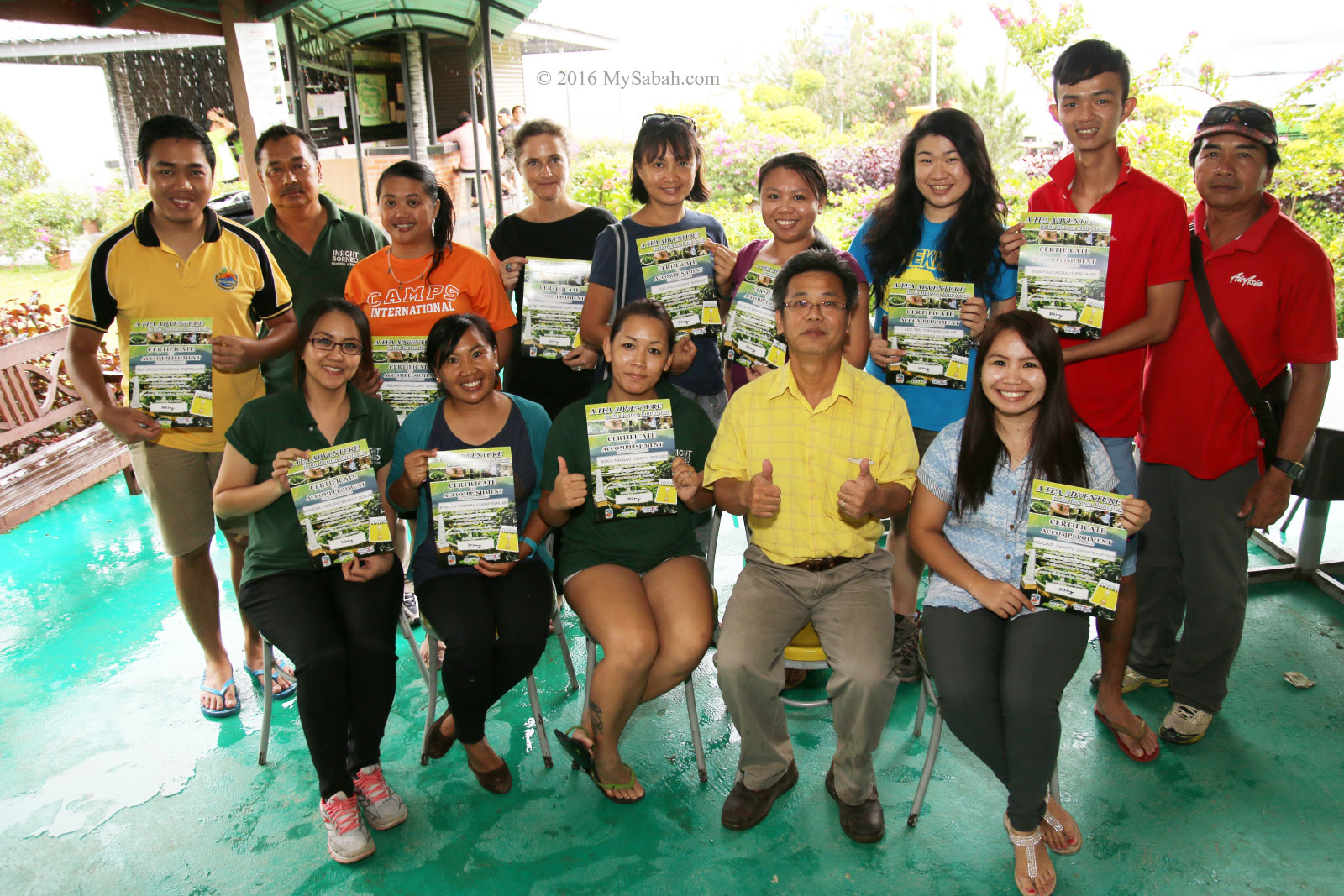
To climb Mt. Wakid, you can appoint a mountain guide to bring you to the summit. The guide fee is RM70 (≈USD$17) per head. A certificate costs RM10 (≈USD$2.50). You can get a guide through the following contact, or hire one via Sunsuron Homestay.
E-mail: jingcom2004@yahoo.com
Tel: +60 13-8991857 (Mel)
Facebook: GunungWakid
Instagram: @gunungwakid
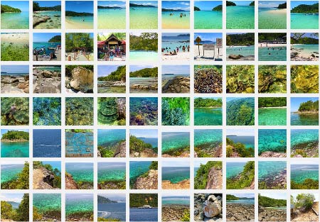
See More Photos of Mt. Wakid
For safety, you should get a guide to follow you. The trail is not well-marked, so you can lose your way easily like the grandma. There was a Korean who lost in the mountain. Luckily he was found and saved. If we only found his iPhone, we would have to rename this mountain to Mount iPhone.
Things to Bring
It’s warm during daytime, so you don’t really need extra warm clothing. The most important thing is to wear a pair of good hiking shoes. Below is a list of recommended items to bring:
- Bottle of Water (min. 1 Litre)
- Raincoat / Poncho
- Snack / Energy Bar
- Packed Lunch
- Climbing Rope
- Walking Pole
- Optional: Swimwear
Photos taken in Tambunan, Sabah, Malaysia Borneo