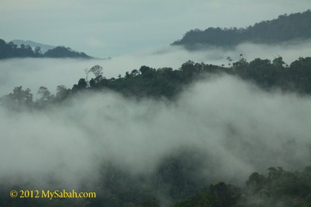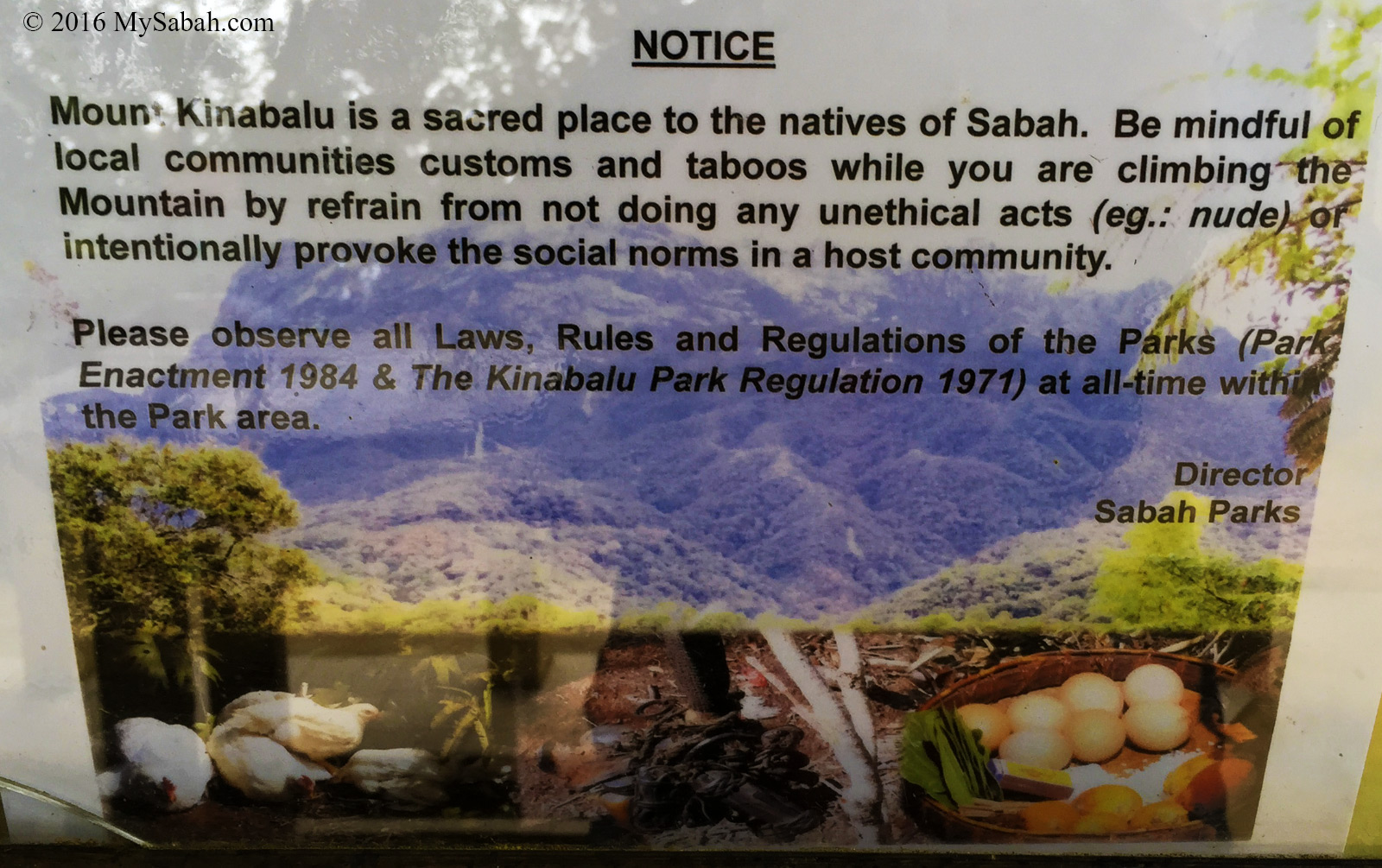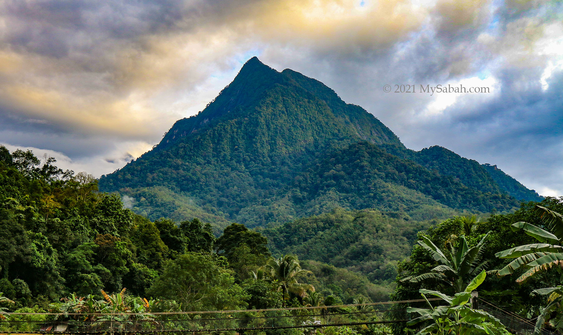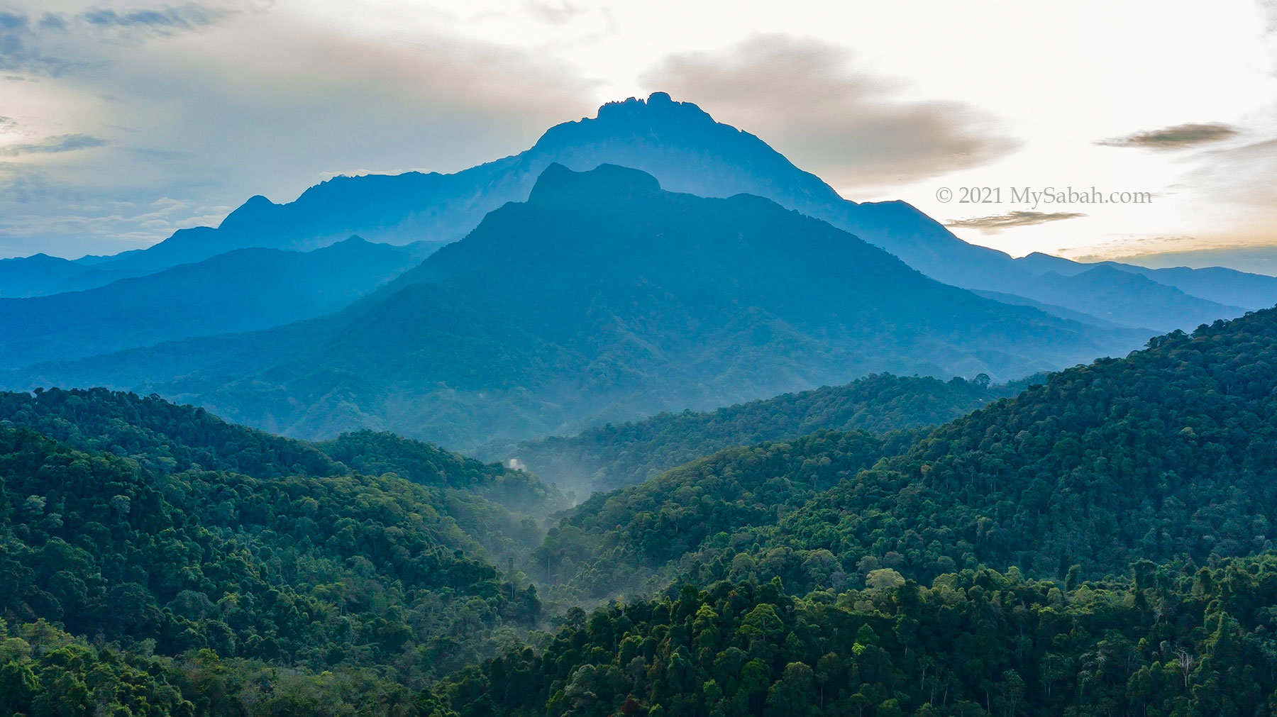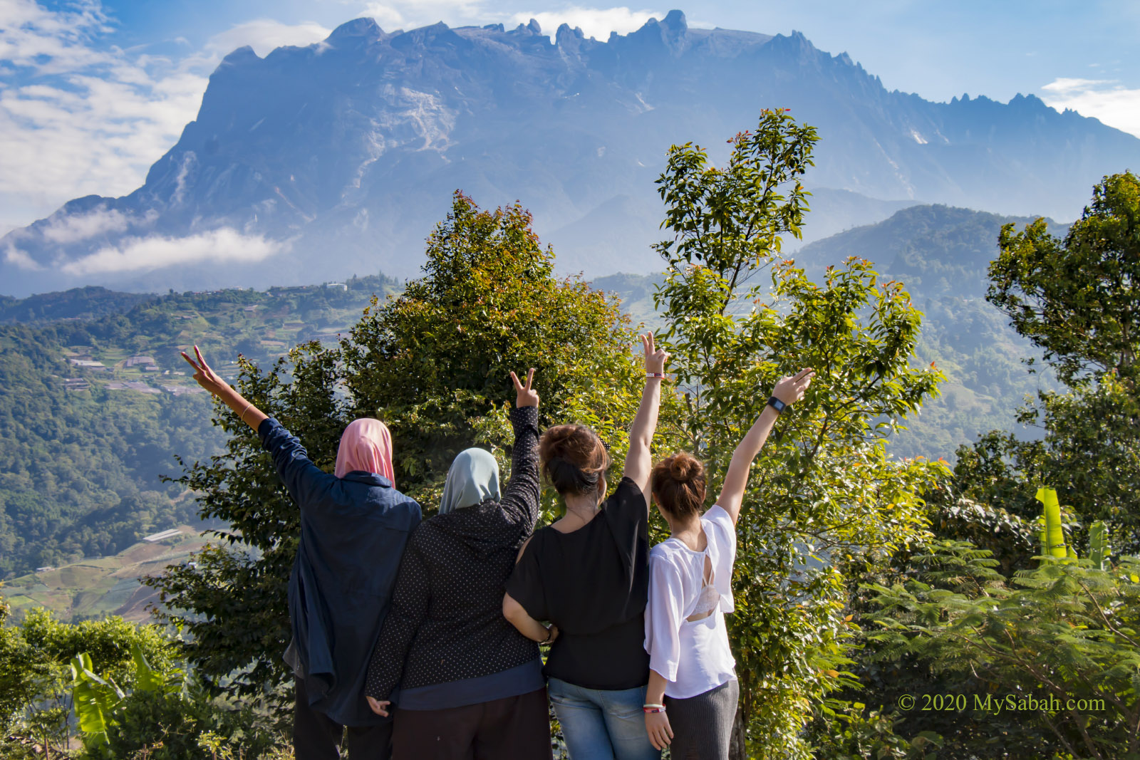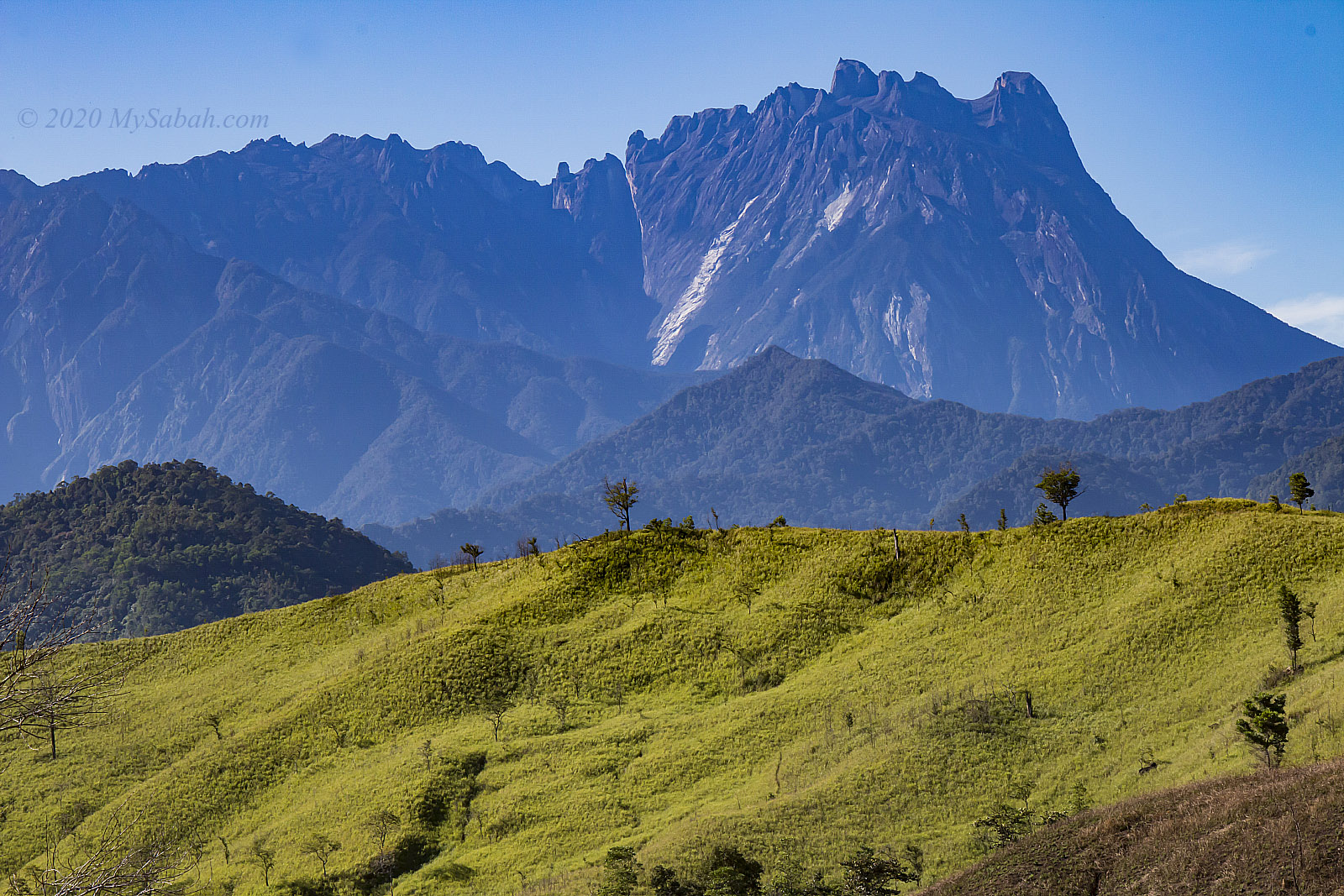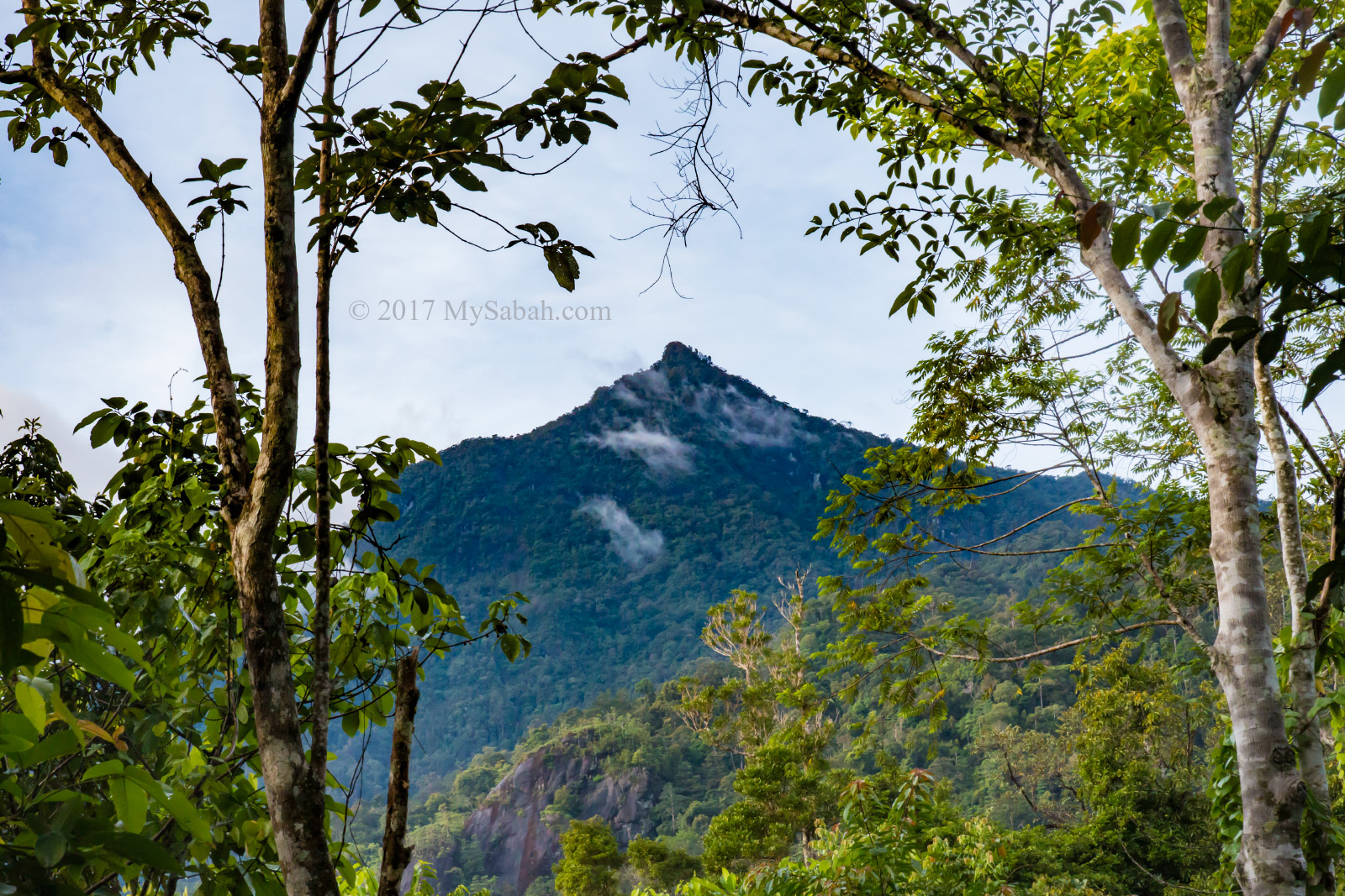
Ever wondered what it’s like to climb a misty, moss-covered mountain in the clouds? Mount Minodtuhan (Local Name: Gunung Minodtuhan), Malaysia’s eighth-highest peak, offers just that—without the noisy crowds. Starting from the lesser-explored northwest side of Kinabalu Park, you’ll follow an undulating trail that transitions from lush rainforest to an enchanting mossy forest above 1,800 metres. Here, fog swirls around ancient trees, creating a scene straight out of a fairytale.
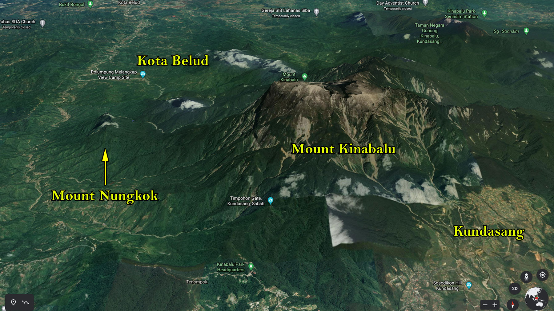
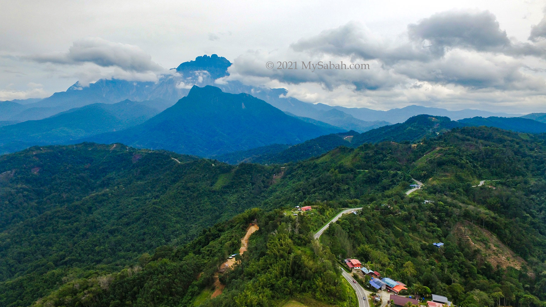
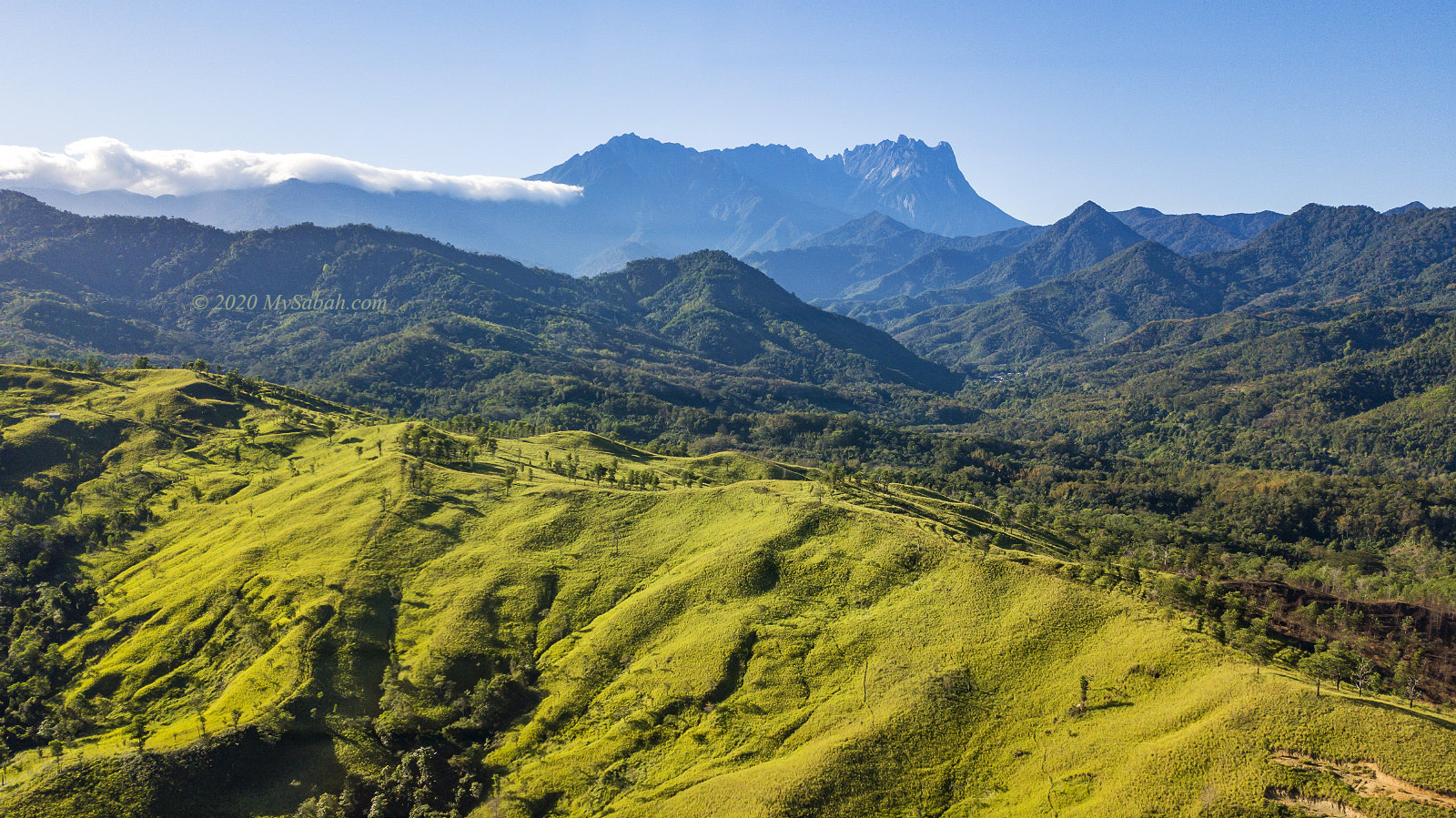
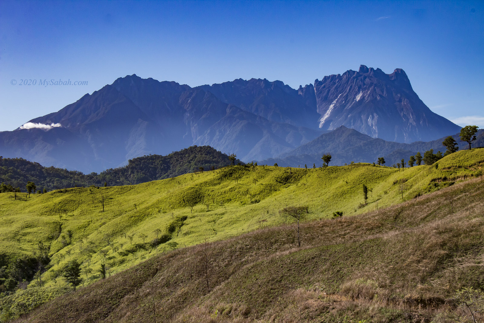
Standing at 2,360 metres (7,743 feet), Mount Minodtuhan even surpasses Peninsular Malaysia’s tallest peak, Gunung Tahan (2,187 metres). While Mount Minodtuhan may not be as famous as Mount Kinabalu, this climb is a reminder that, as they say, “It’s not the height of the mountain, but the depth of the experience.” The journey from Sayap Substation in Kota Belud unveils Borneo’s highlands at their most pristine, untouched, and unforgettable.
Due to a past landslide, it is named “Minodtuhan,” which means “landslide” in the Dusun language. However, a geology journal suggests it means “Sunken Valley,” describing a deep valley likely formed along a crack or break in the Earth’s crust.
About The Climb
I bet you’re wondering if Mount Minodtuhan is easy to conquer. As a middle-aged guy who jogs three times a week, I’d rate the climb as intermediate in difficulty (5.5 out of 10). If you exercise regularly and are used to walking on hilly terrain, you can tackle it in most cases. However, I wouldn’t recommend Minodtuhan to beginners or couch potatoes.
This trail is known for its varying inclines, challenging you with a mix of steep slopes and flatter paths all the way to the summit. The climb begins at Sayap Substation, one of the substations of Kinabalu Park in the Kota Belud district. The summit trail from the substation to the peak is 6 km one way (you will descend via the same trail). Typically, it takes normal climbers 4 to 6 hours to reach the top. If you descend at 10 a.m., you can expect to be back at the substation by around 2:30 p.m.
However, sometimes climbers overstretch themselves and become too exhausted, returning to the substation as late as 8 p.m. or later. Please note there is an additional charge of RM15 per hour if you don’t reach the camp by 5 p.m., as one or two guides must accompany you for the overtime. Again, I strongly advise you to train before attempting the climb.
And oh yes, there are blood-sucking leeches (Local Name: pacat). Thankfully, there weren’t many during my climb, so I didn’t even bother wearing my anti-leech socks. I only sprayed some anti-leech liquid on my shoes and managed to avoid a single leech bite.
Climbing Mount Minodtuhan
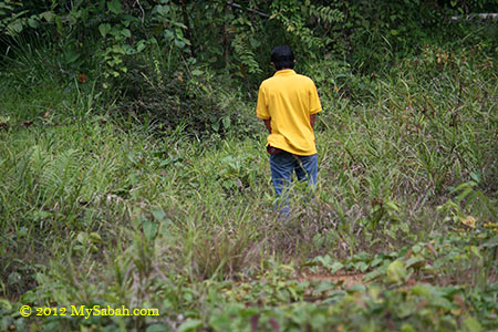
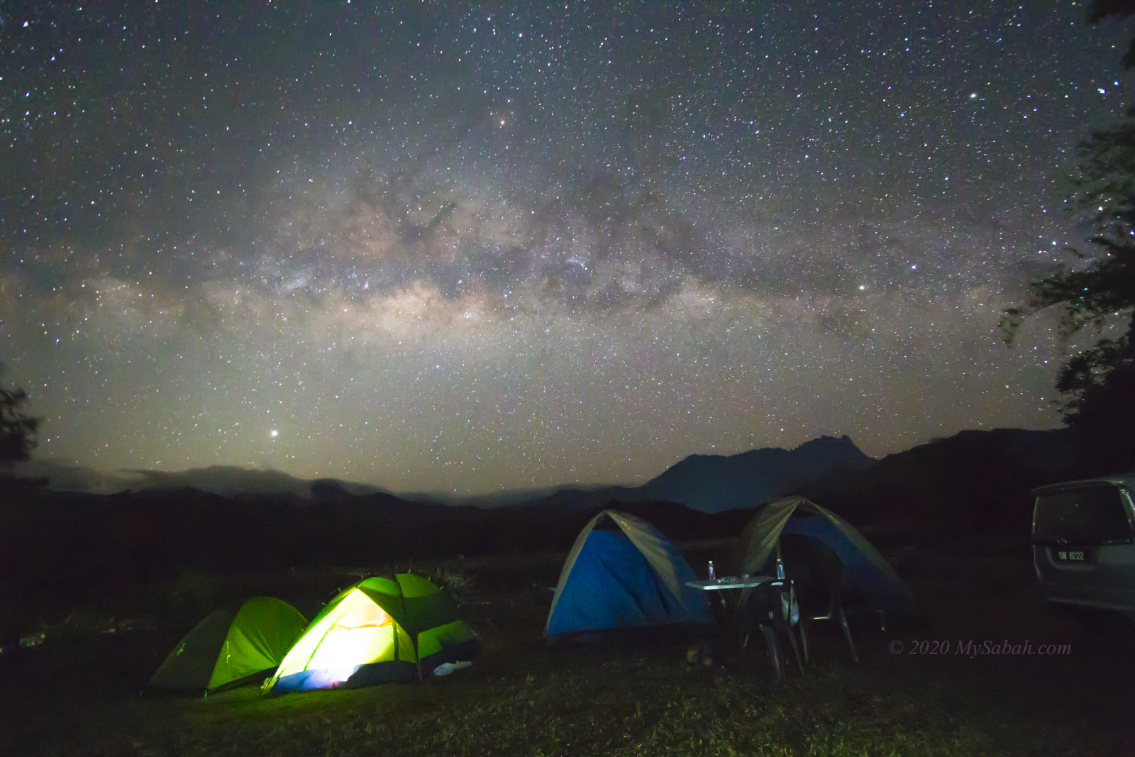
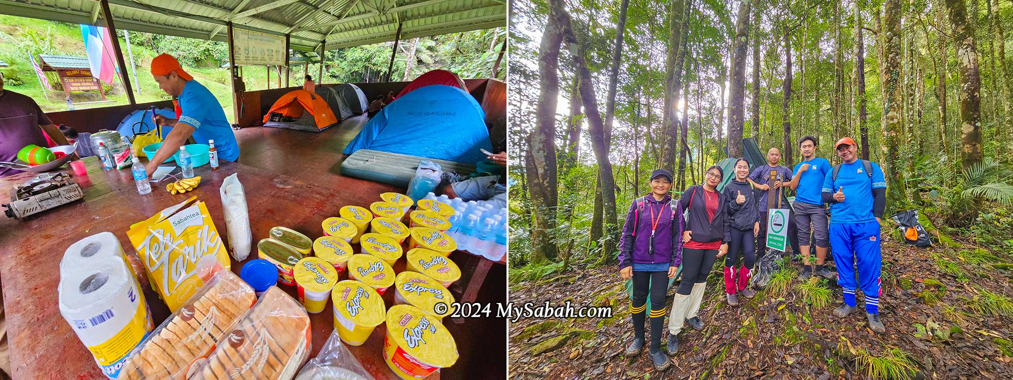
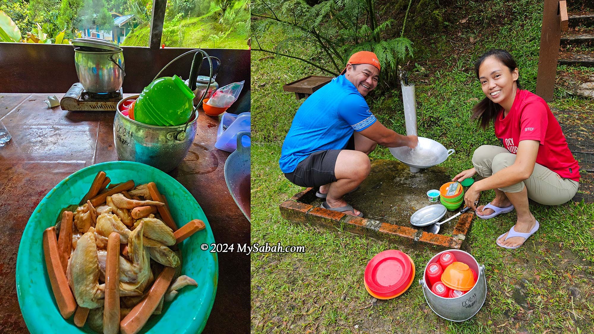
Here’s a walk-through of my climb so you’ll know what to expect. I camped at Sayap Substation with others so I could start climbing early in the morning. After breakfast and a briefing by the mountain guides (or rangers), we began the climb at 4:24 a.m. It took me 4 hours and 40 minutes to reach the peak.

KM 0 to KM 2:
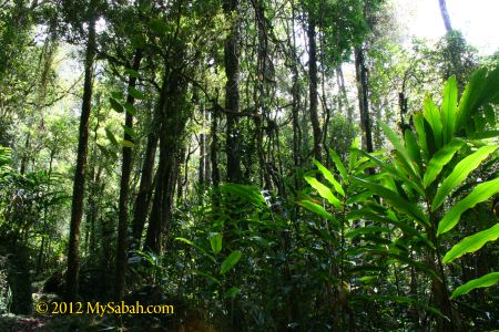
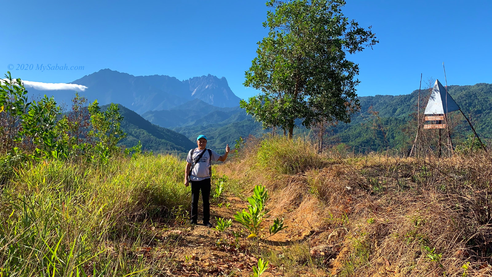
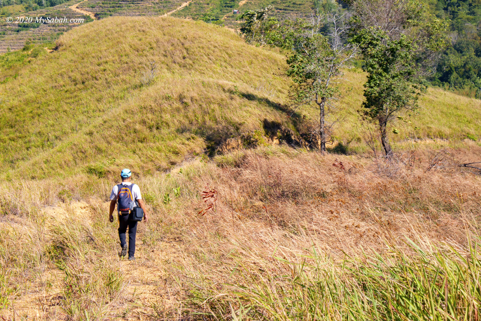
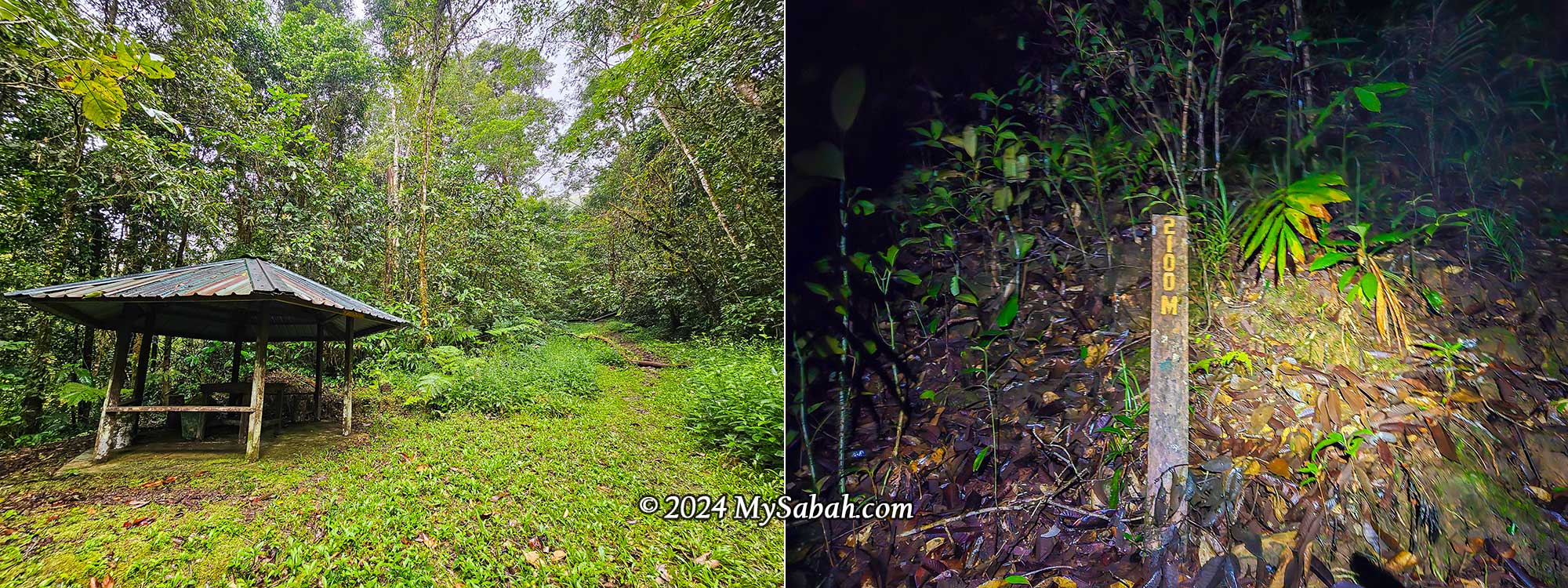
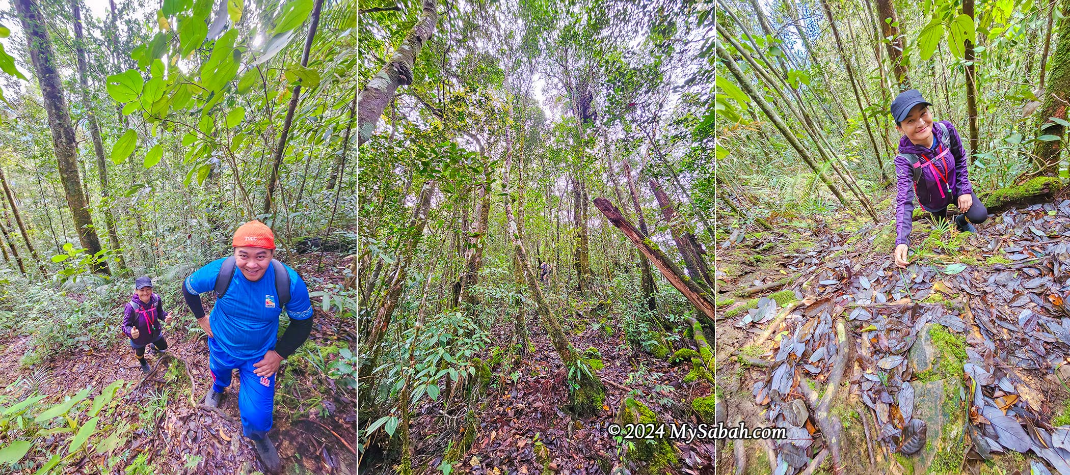
Enjoy the first 2 km because it’s the easiest part. After 2 km, 70% of the trail becomes steep. The summit trail starts at the edge of the camping site. The first 1 km is a walk on a gentle slope with a wide, grassy trail. After about 10 minutes, I passed a gazebo, where I found the 1,100-metre marker shortly after. Then the trail became scattered with many small rocks, and it started to narrow as I saw more foliage and tree roots on the ground.
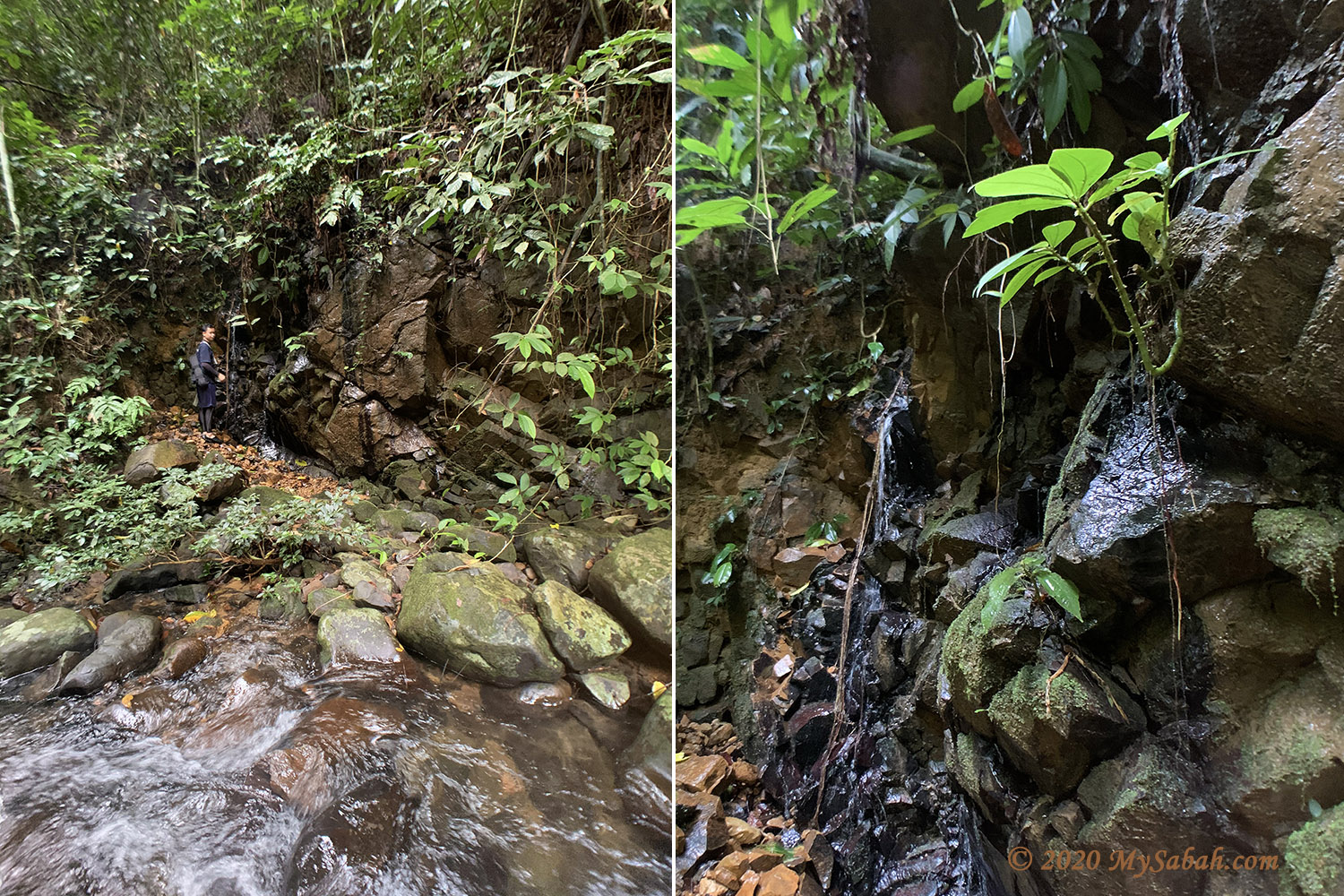
At 4:54 a.m. (30 minutes in), I crossed a small stream into the dense forest. The trail narrowed even further and became steeper, covered in moss. Around KM 1.3, there was a 100-metre stretch of flat terrain, and the trail wasn’t too steep before KM 1.7. The dense undergrowth on both sides concealed leeches among the foliage and shrubs. The zone between 1,200 and 2,600 metres is called the humic horizon, which is rich in organic soil and moisture.
The trail 100 metres after KM 1.7 is very steep. I arrived at KM 2 at 5:18 a.m., feeling okay and not very tired, just warm from the vigorous climb. There are no more distance markers after KM 2.1. This is where the challenging hike truly began, as 70% of the trail ahead is steep, and part of it feels like wall climbing (though it’s not that extreme).
KM 2.1 to KM 4:
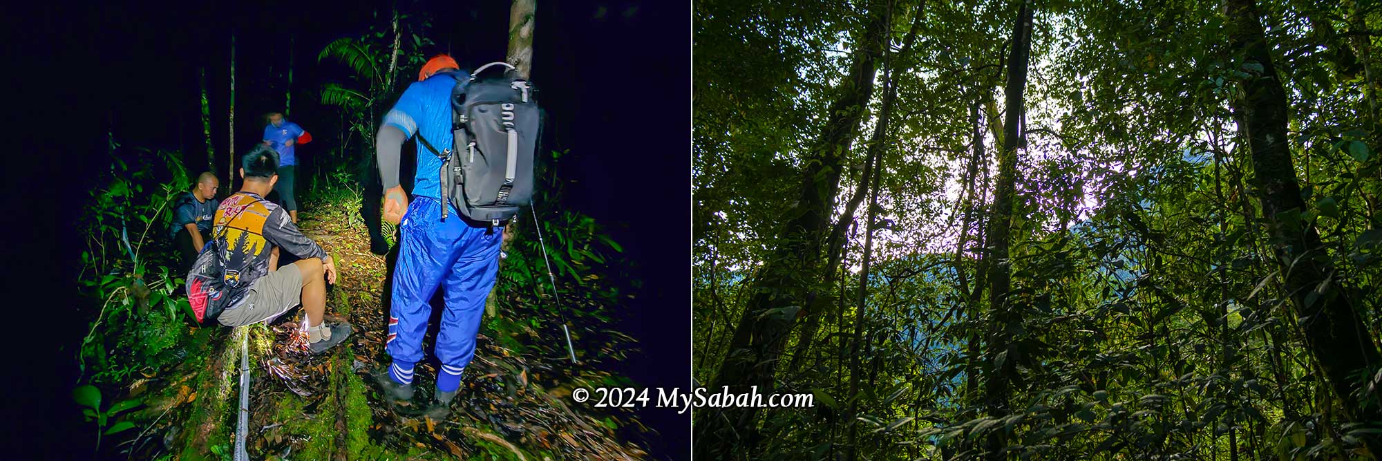
After a 100-metre steep climb along a cliff, I took a short break on flat ground at 5:28 a.m. By 5:42 a.m., I could see the first light of dawn and the outline of the mountain range through the dense forest. Honestly, it would have been better if it had stayed dark, so I wouldn’t have seen the long, undulating trail ahead. At this point, I had to battle with my mind too.
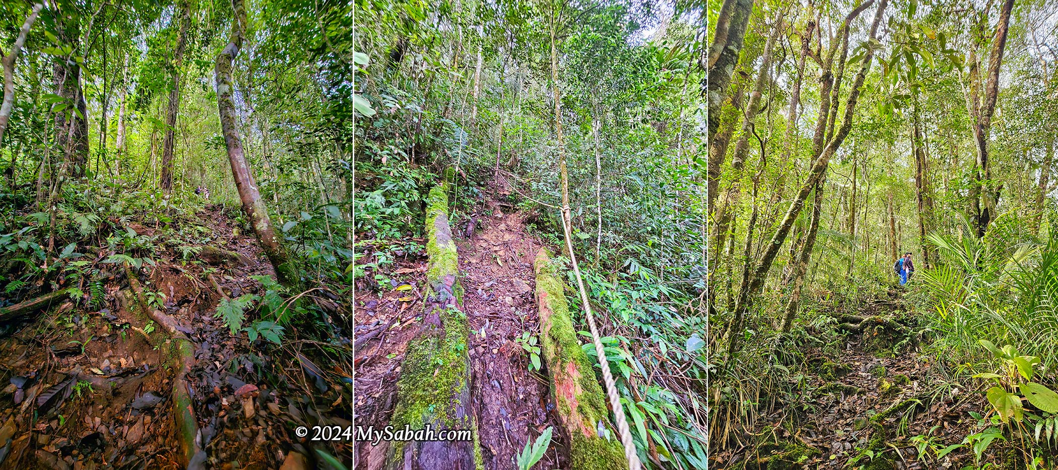
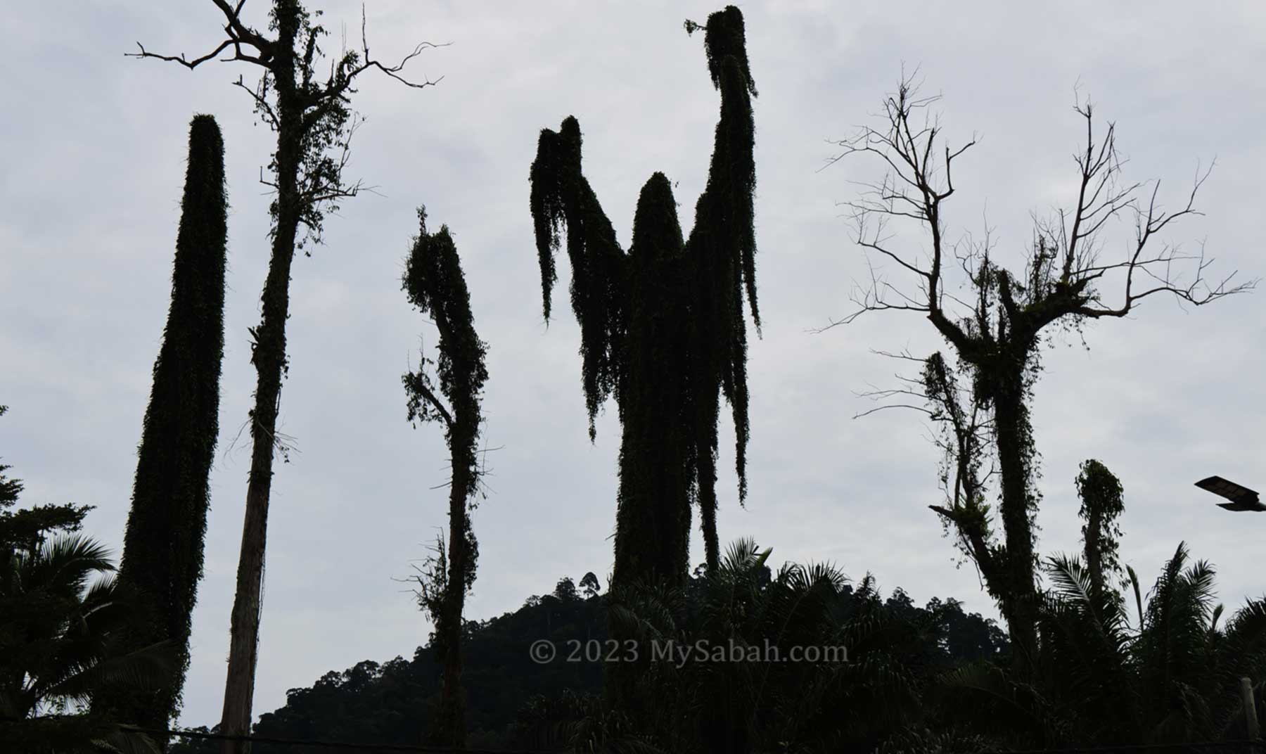
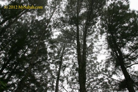
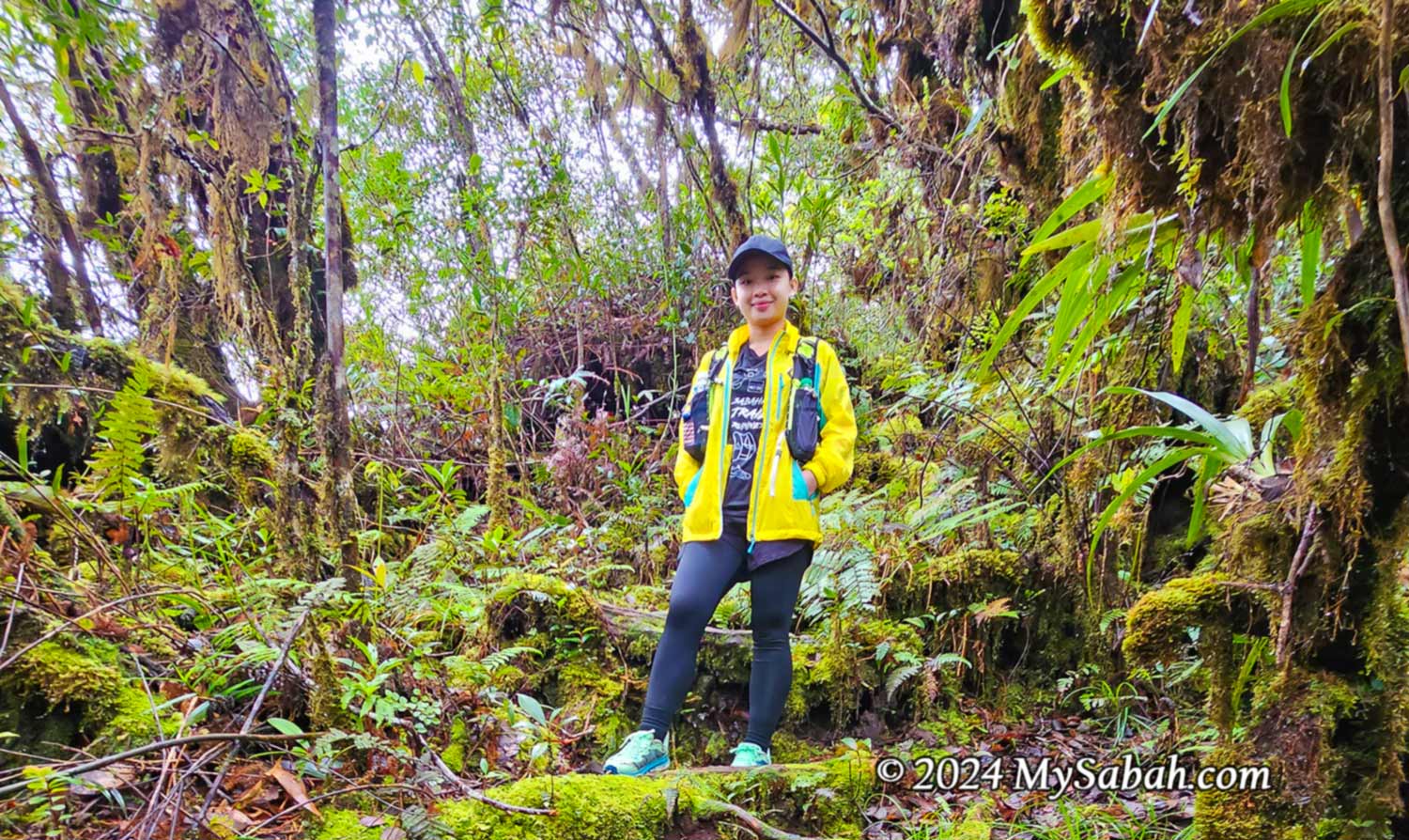
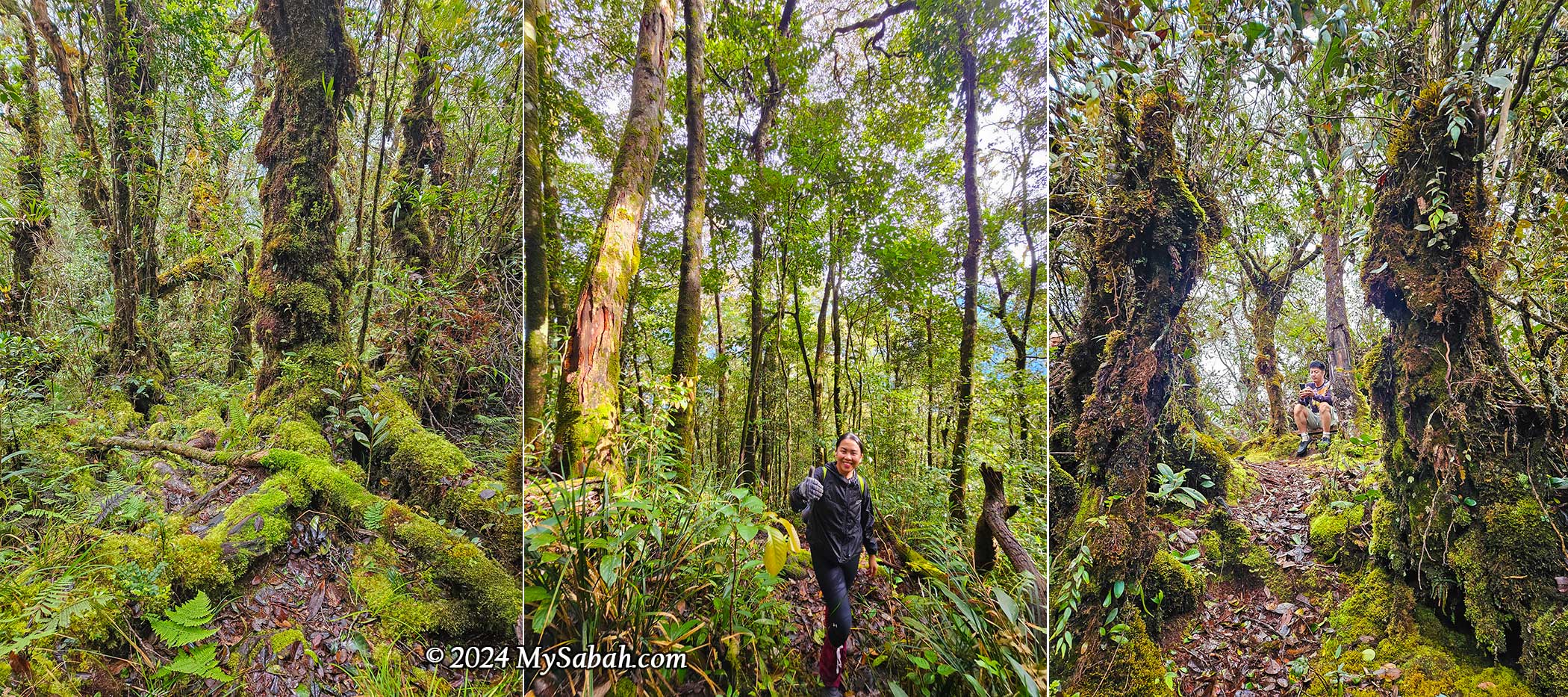
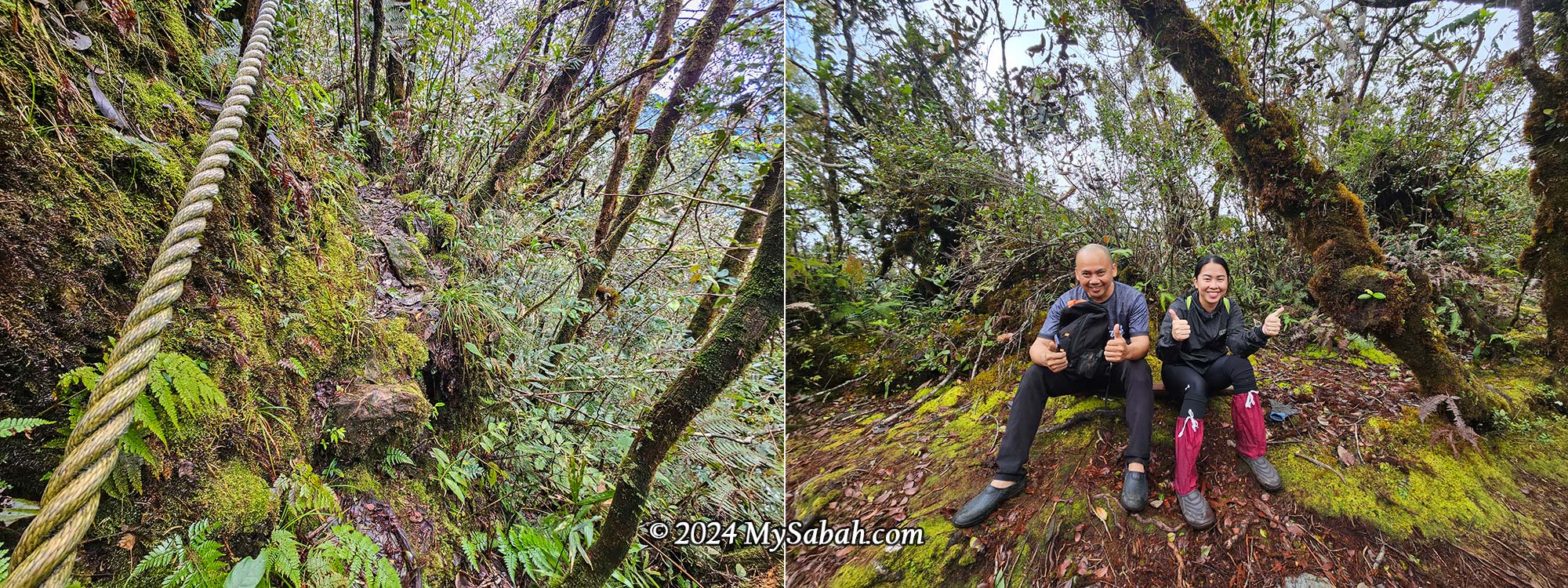
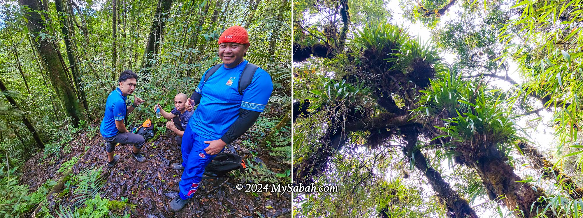
There are some rope supports in steep or slippery areas. I used them to pull my body up to save my leg muscles. After 5:45 a.m., there was a 150-metre easy walk along a ridge with cliffs on both sides. It was a bit cooler due to the wind. The trees became mossy, a characteristic of the cloud zone between 1,200 and 2,000 metres, due to the humidity brought by mist and condensation on the cooler highlands.
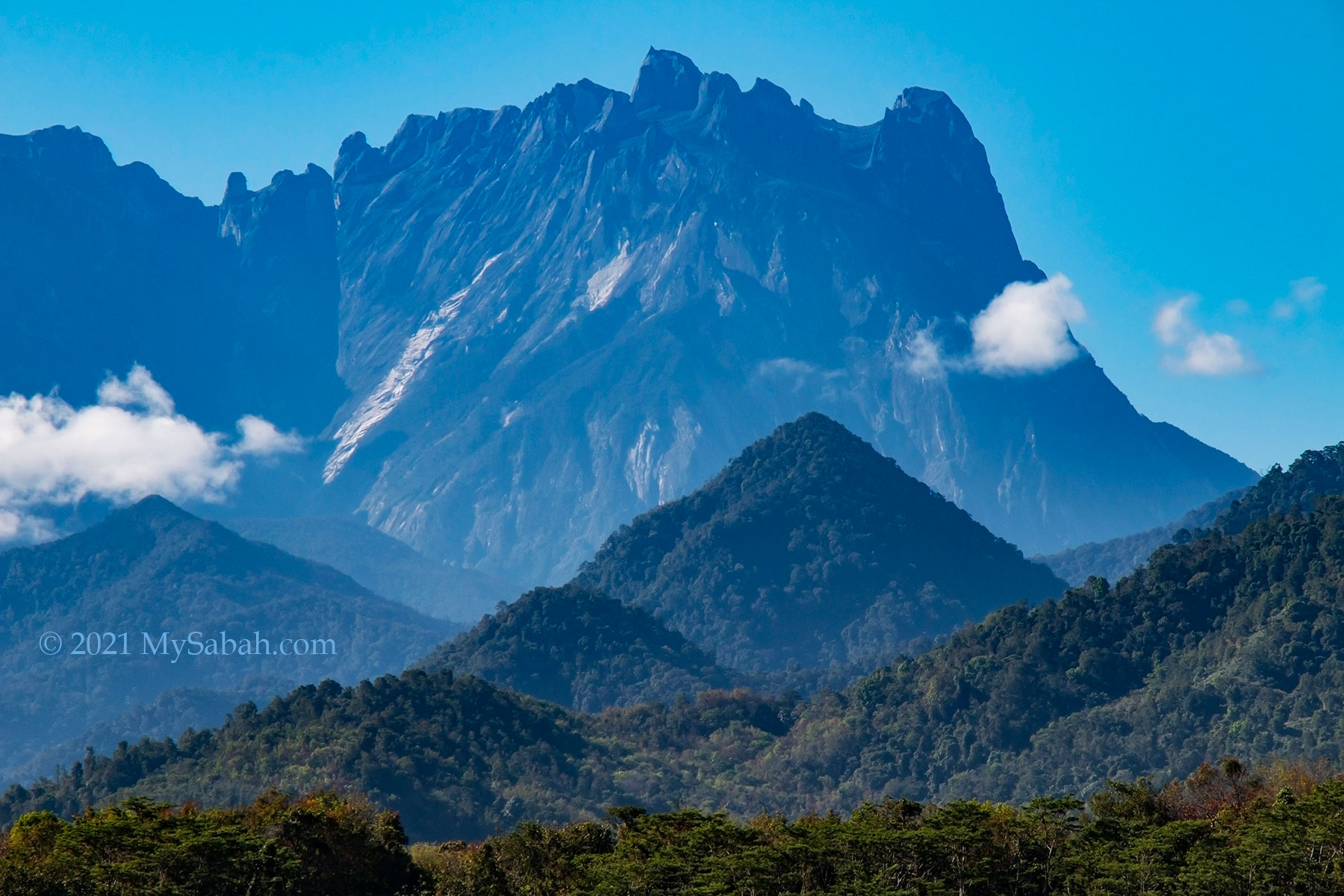
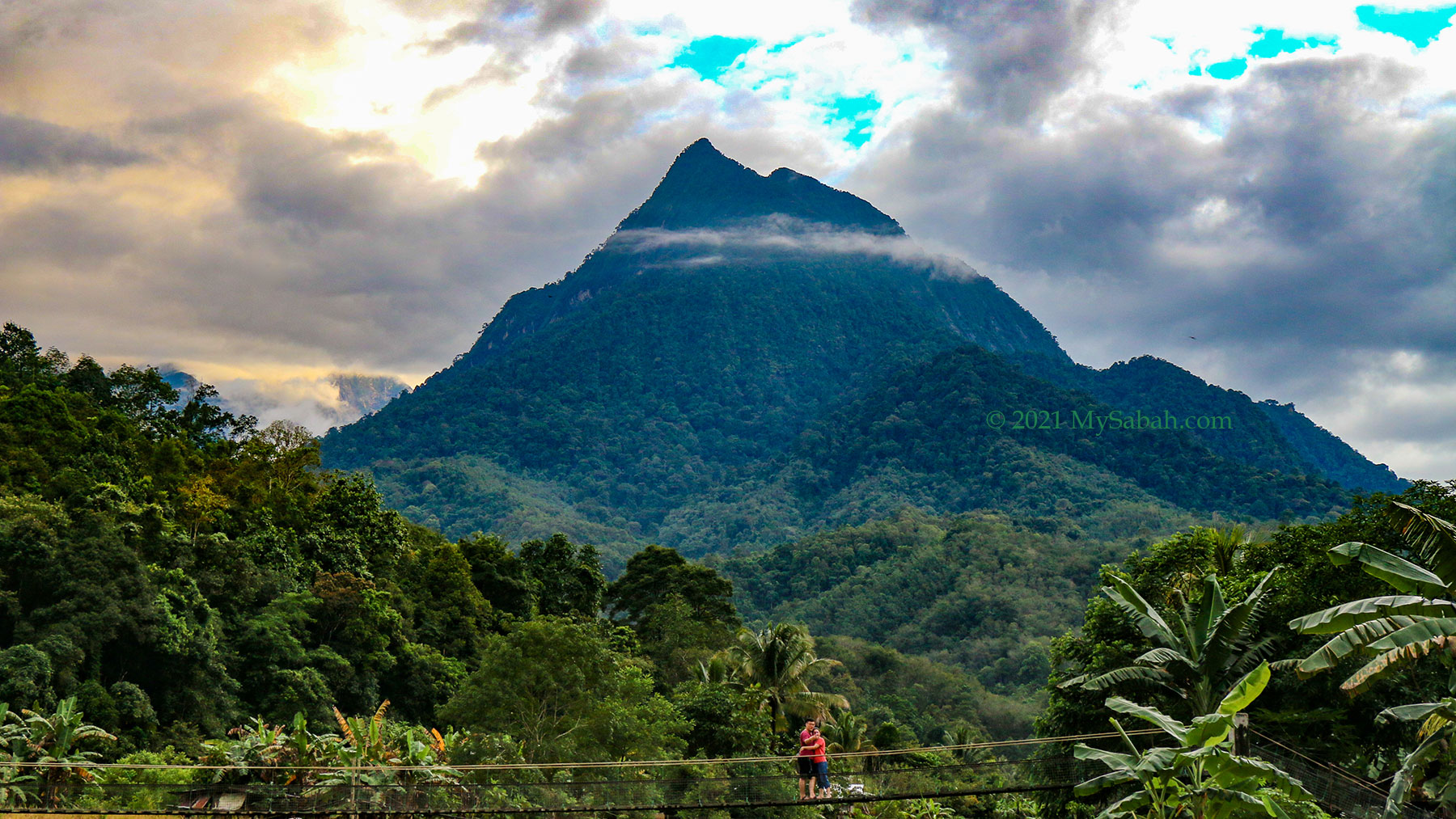
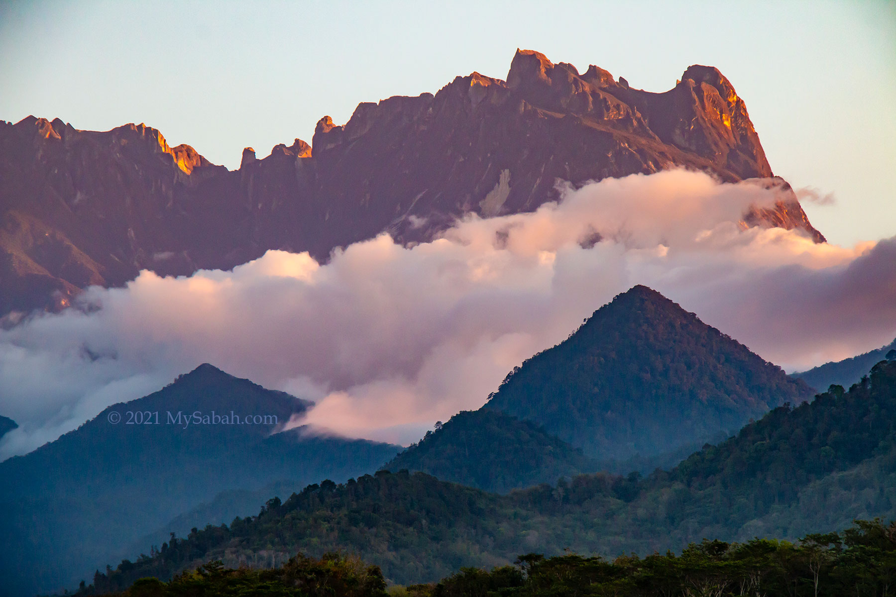
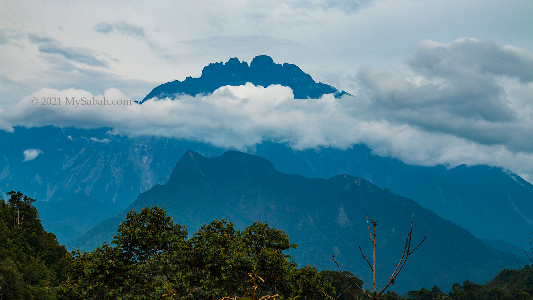
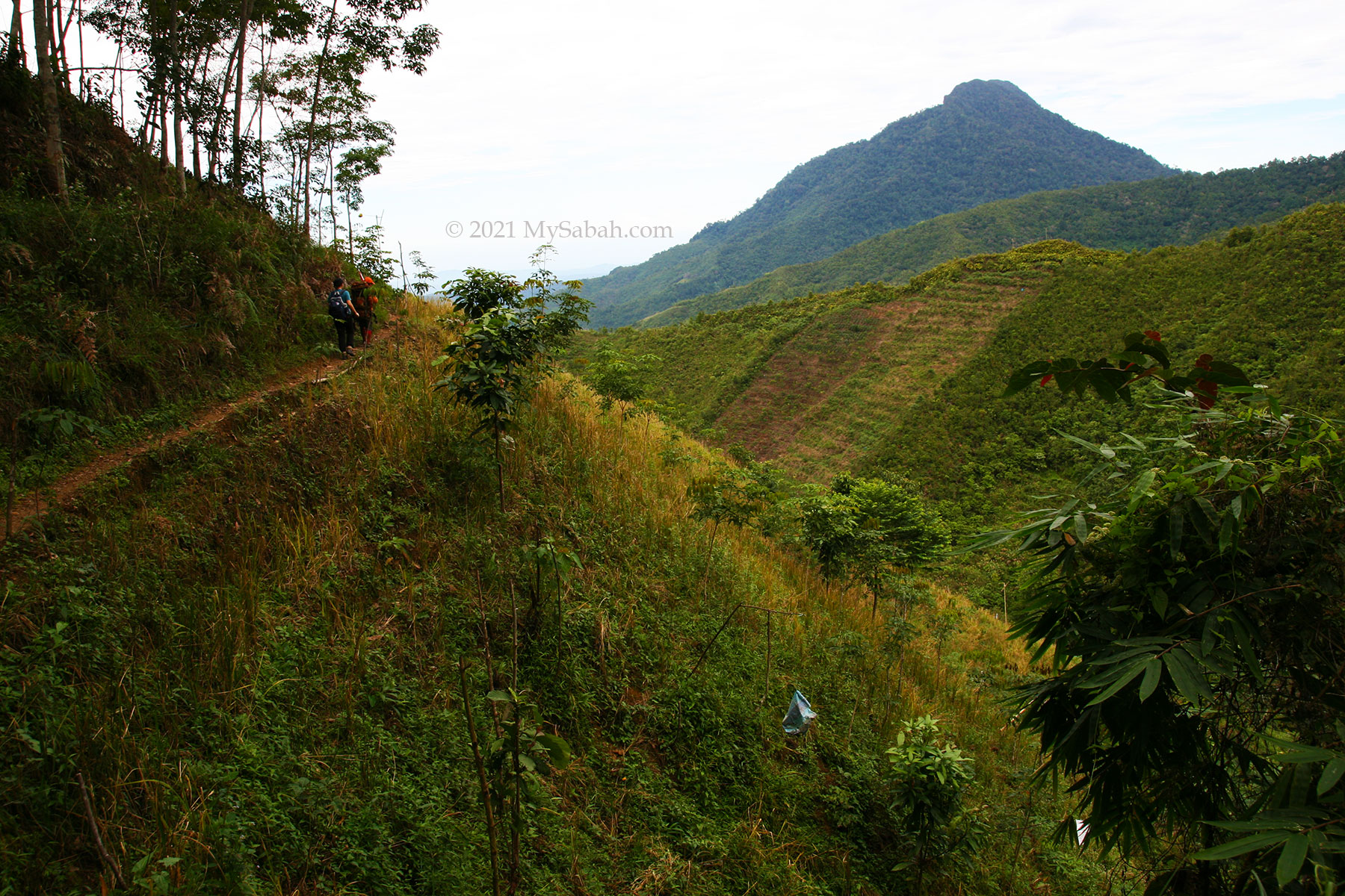
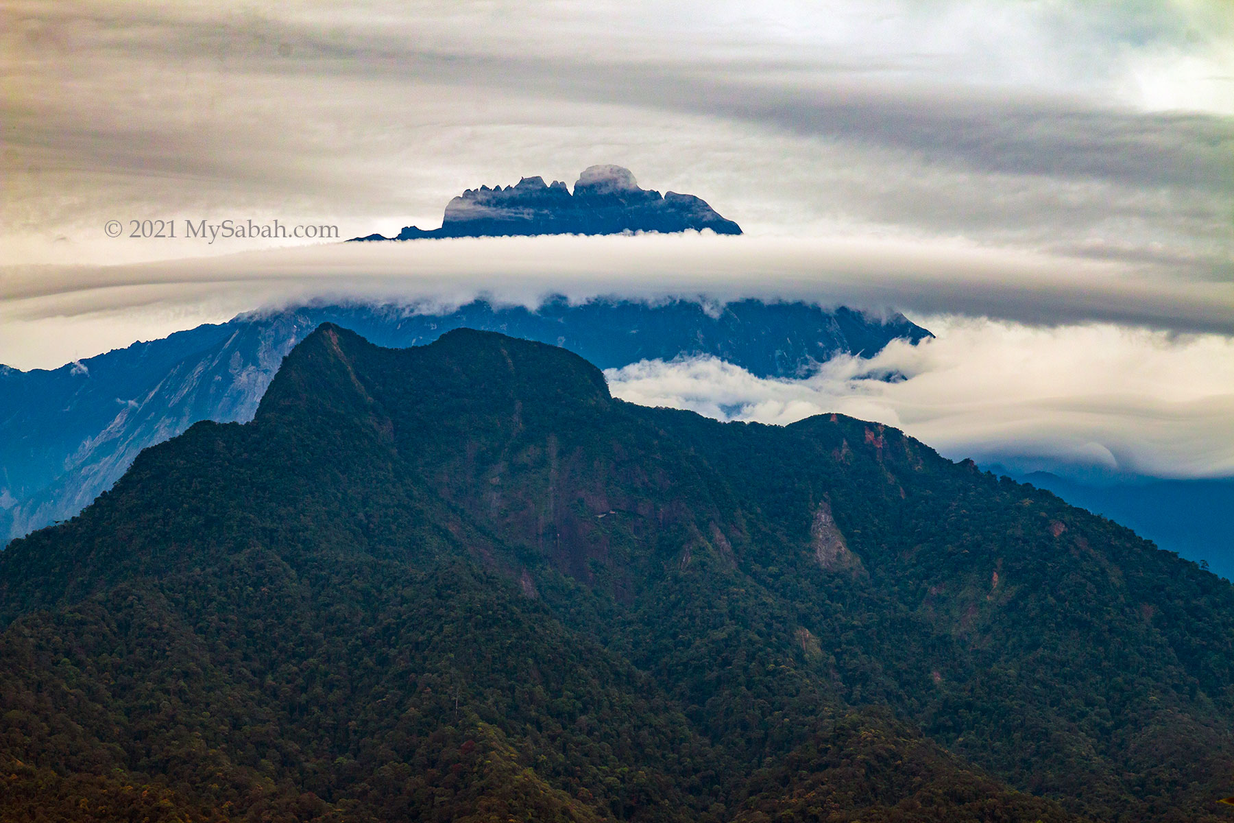
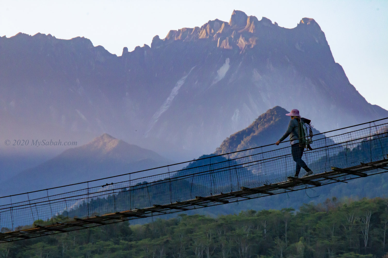
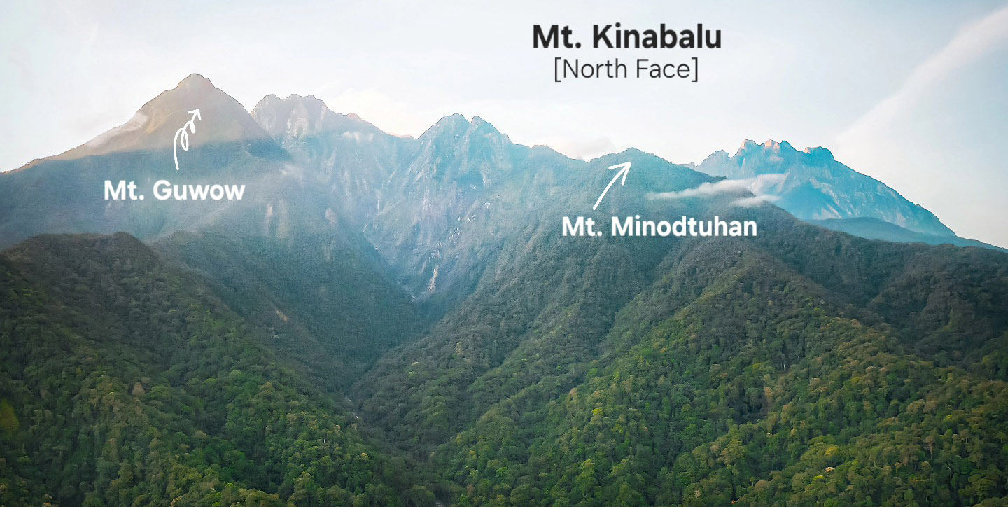
After the ridge walk, there was a 10-minute very steep climb uphill. Some spots had no support ropes. KM 2.5 to KM 3.5 is probably the steepest part of the climb. Luckily, short and gentle slopes would appear when it became unbearable. At 6:30 a.m., I caught a glimpse of Mount Guaw, the second-highest mountain in Malaysia (unofficially). I think the worst part was behind me by 7:30 a.m., though there was still a steep trail ahead.
At 7:40 a.m., I reached the “Smoking Zone,” a wide, flat area after KM 4. I gave myself a pat on the shoulder, as I had completed two-thirds of the climb. For every 100 metres gained in elevation, the temperature drops by 0.55°C. It was cold and windy there, and I felt quite chilled when I stopped, with my clothes soaked in sweat.
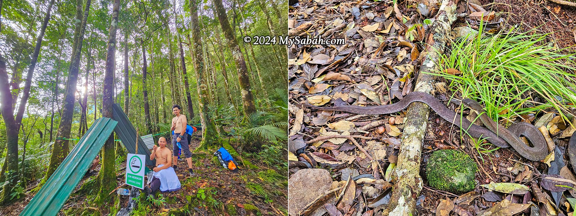
The good news is that leeches are rare beyond this point. However, I almost stepped on a Baram Water Snake, which blends perfectly among the foliage—a rare sight. I would have screamed in joy if I had seen a Malcom’s Pit Viper, a cool snake found only on the higher mountains of Borneo Island.
KM 4 to the Peak
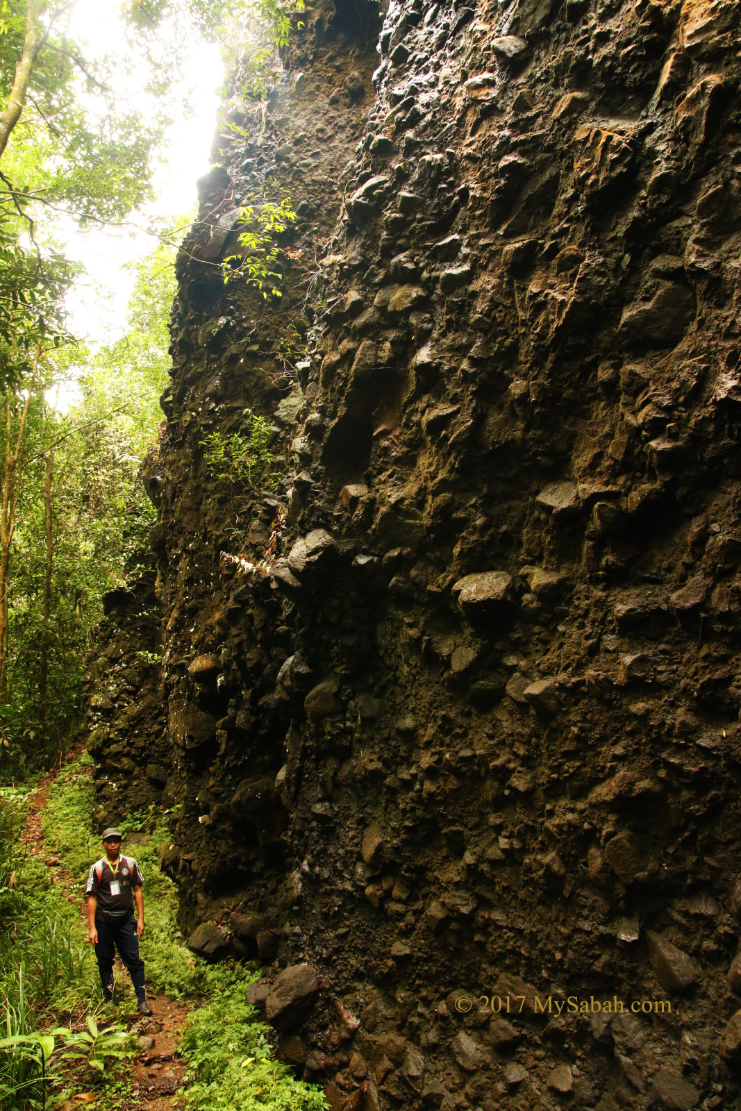
After a 15-minute rest at KM 4, we continued the climb around 8 a.m. The terrain was still rugged but not as difficult as before. The peak was only an hour away. Mount Minodtuhan is dominated by sedimentary rocks (mainly sandstones) from the Crocker Formation, deposited during the middle Oligocene to early Miocene period (approximately 28 to 16 million years ago), making it older than Mount Kinabalu (about 8 million years old).
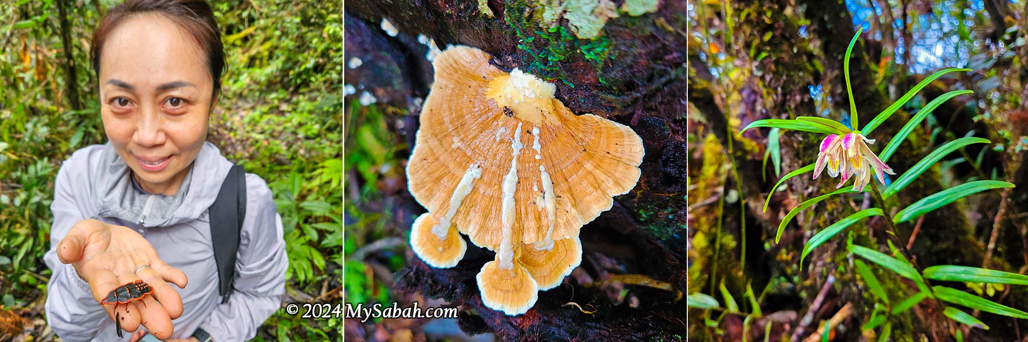
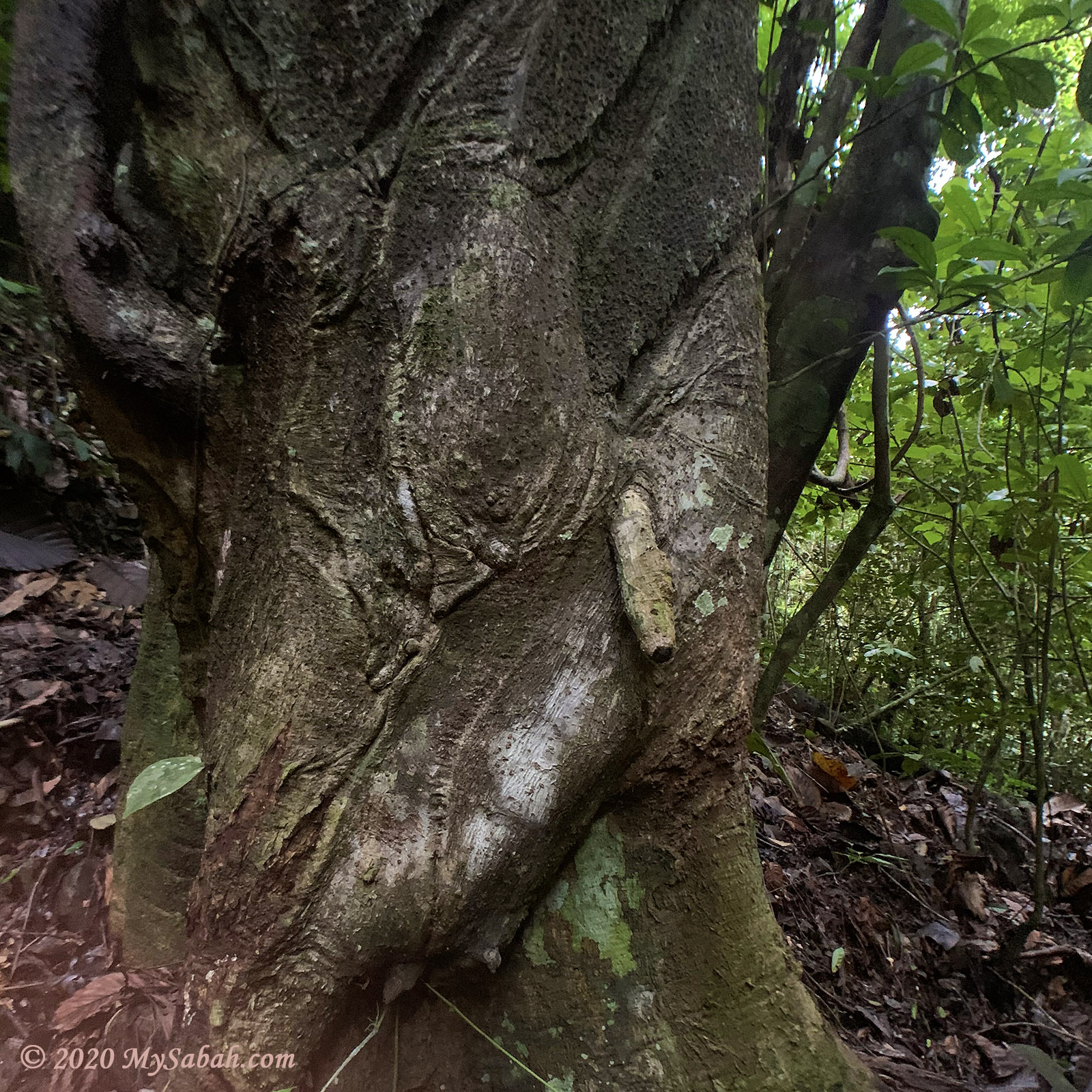
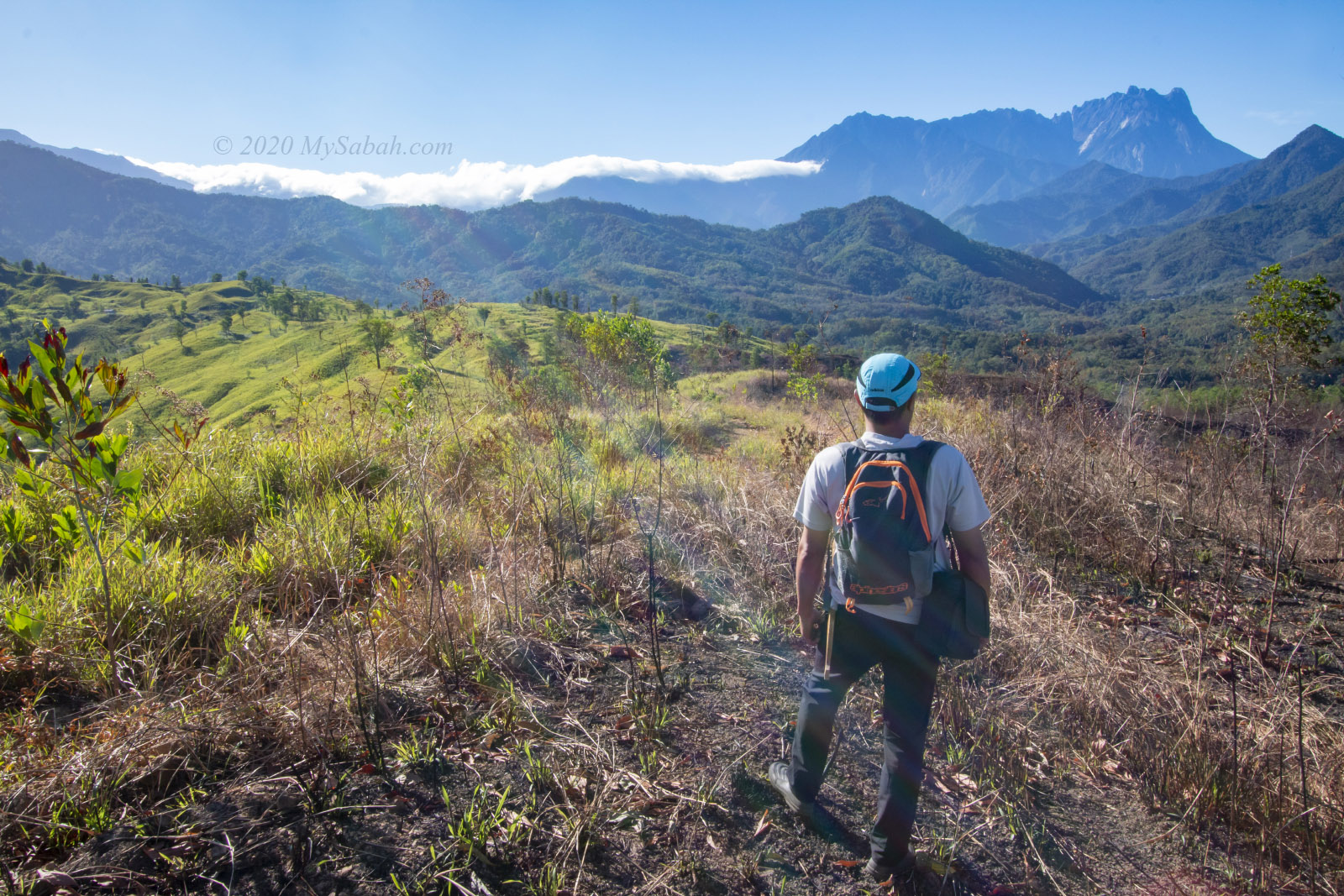
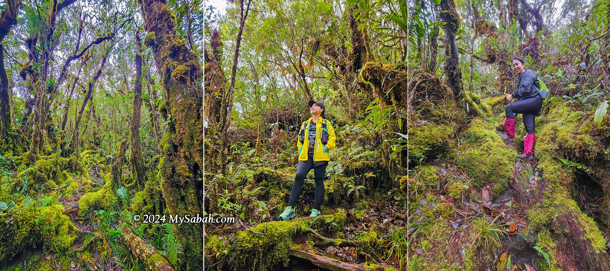
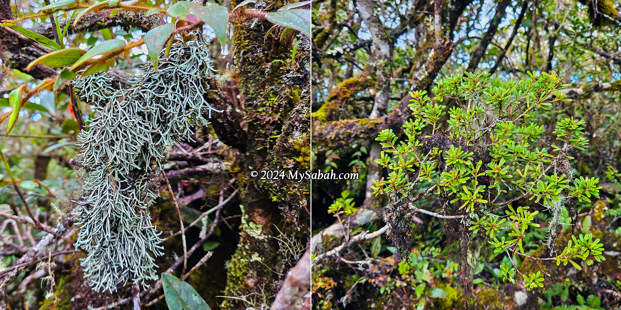
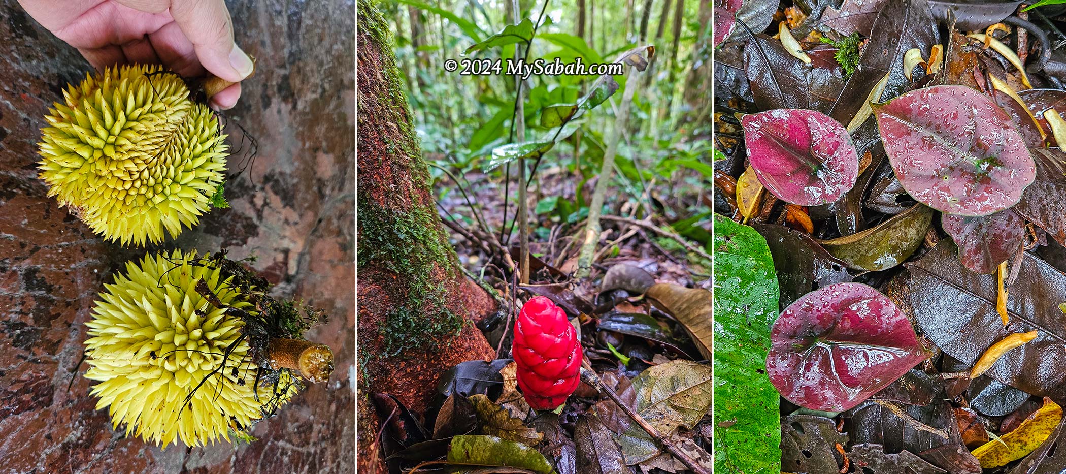
Now, the surroundings were well-lit, and we could enjoy the out-of-this-world view of the pristine upper montane forest, adorned with vibrant green moss on the ground and trees, with epiphytes clinging to branches. The moss retains water like a sponge, making it the perfect habitat for epiphytes, which grow on other plants or trees to access more sunlight and water. They don’t take nutrients from their hosts but use them for support.
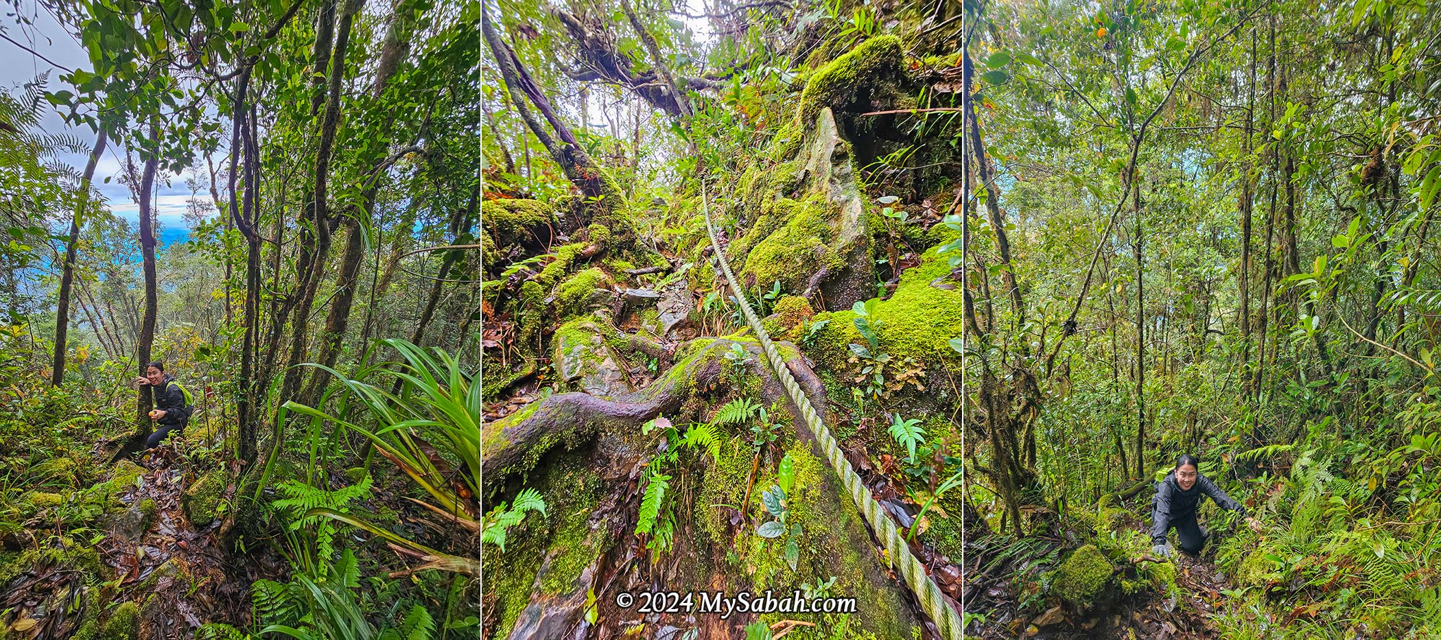
Besides moss, lichen was everywhere too. Both are good indicators of a pollution-free environment. Keep an eye on the plants, and you might spot some special rhododendrons and orchids in bloom. The montane forest in Kinabalu Park is dominated by oaks and chestnut trees, with at least 50 species. You’ll see many oak fruits on the forest floor, which are the favourite food of wild boars and squirrels.
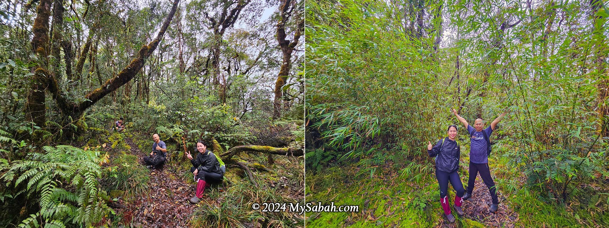
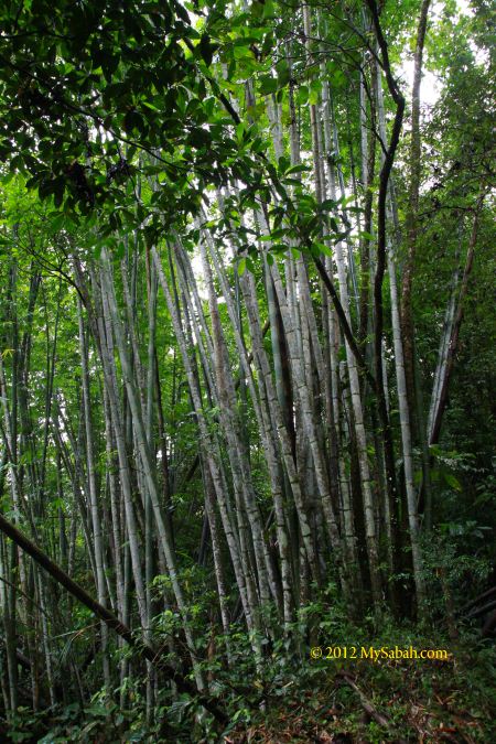
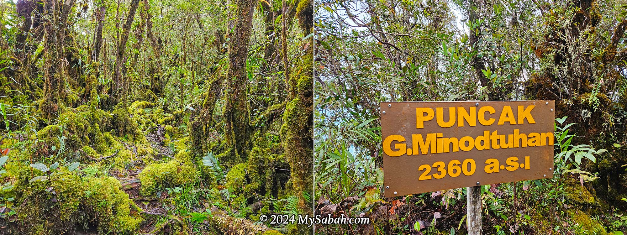
We stopped briefly at a bamboo area at 8:55 a.m. My guide said the summit was only 300 metres away, so we went for the final push. However, I was so amazed by the magnificent mossy world and the crooked, gnarled Leptospermum trees that I slowed down to take some photos. We met some descending climbers, who gave us words of encouragement and told us we were really close.
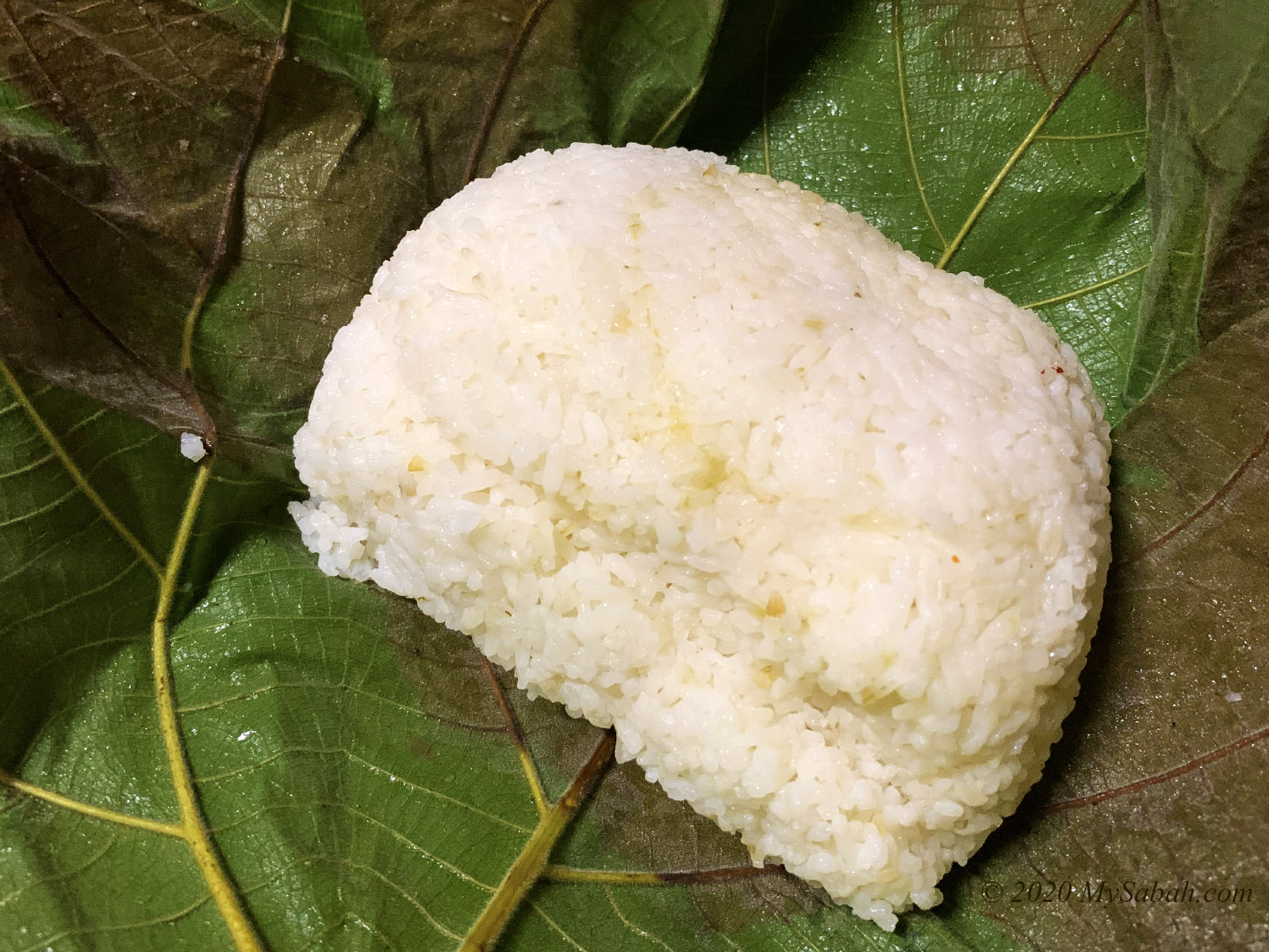
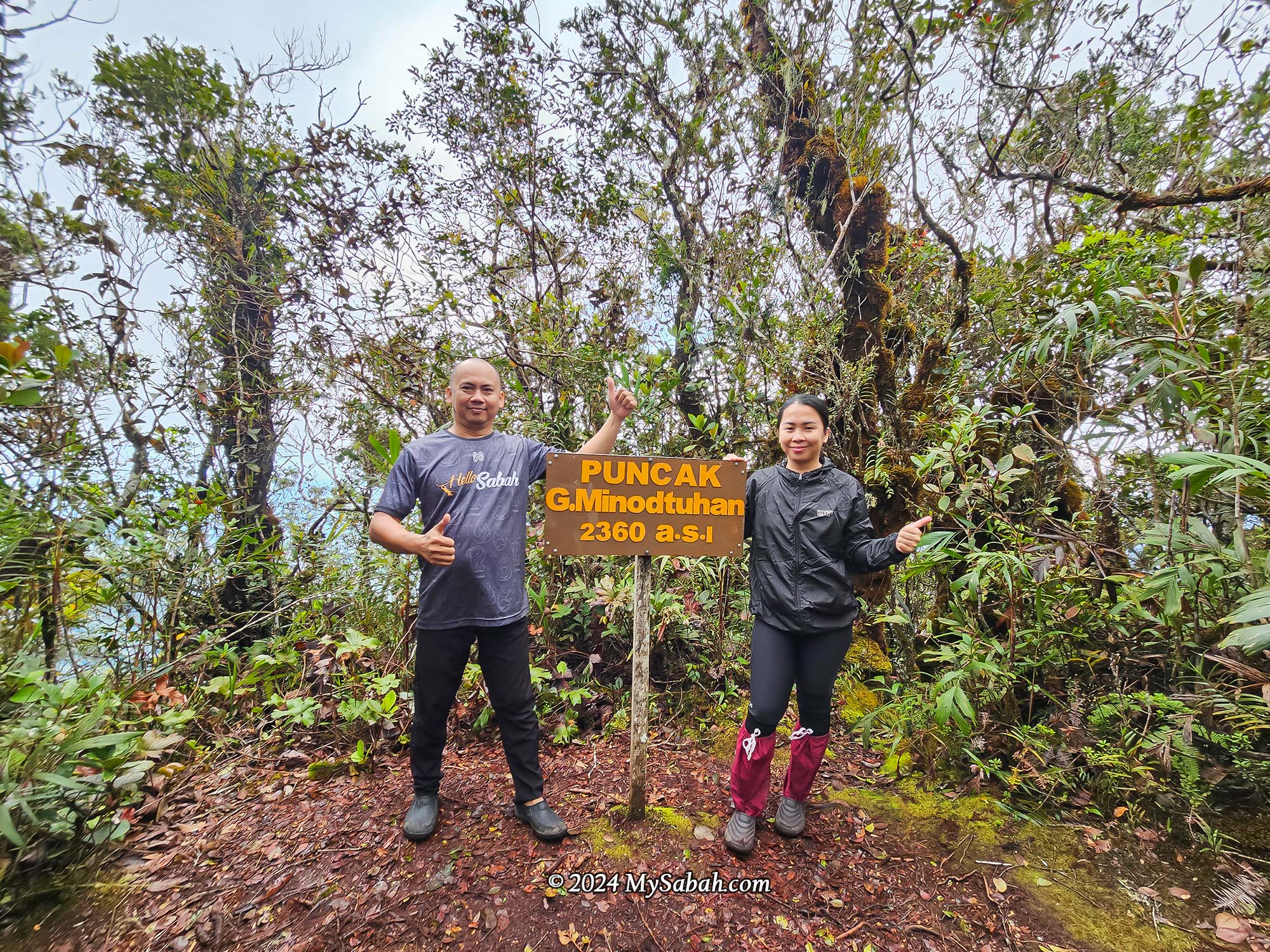
I reached the peak at 9:08 a.m. It’s a forested peak with a summit sign indicating 2,360 m. There’s a tree you can climb to get a better view of Mount Kinabalu and the surrounding scenery. Too bad the view was obstructed by dense fog. I had my lunch pack with me, but it was too early for lunch, so I just had some snacks.
Descending
We were waiting for the rest of our group for a photo at the peak, as we had split up due to differences in physical strength. With an overcast sky and distant thunder, our guide advised us to descend immediately as rain was expected soon. We left the peak at 9:20 a.m. and retraced our steps back to the substation camp.
Descending is not easier than ascending because the trail is steep and slippery. NEVER step on the tree roots! They’re incredibly slippery. I fell on my butt twice, even though I was very careful. Anyway, I treated the descent as a jungle trekking tour, enjoying the view and taking photographs along the way. There is always a guide with the last climber as a sweeper, so I didn’t worry about being left behind.
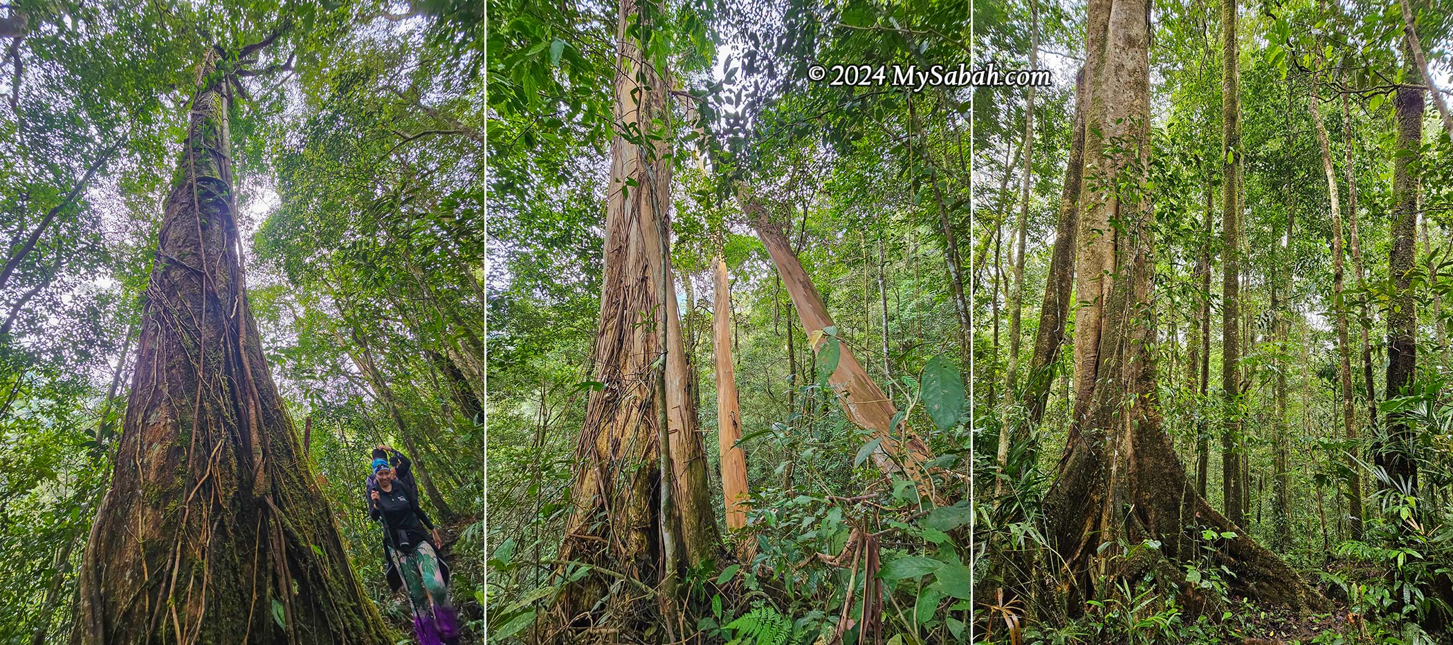
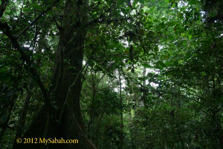
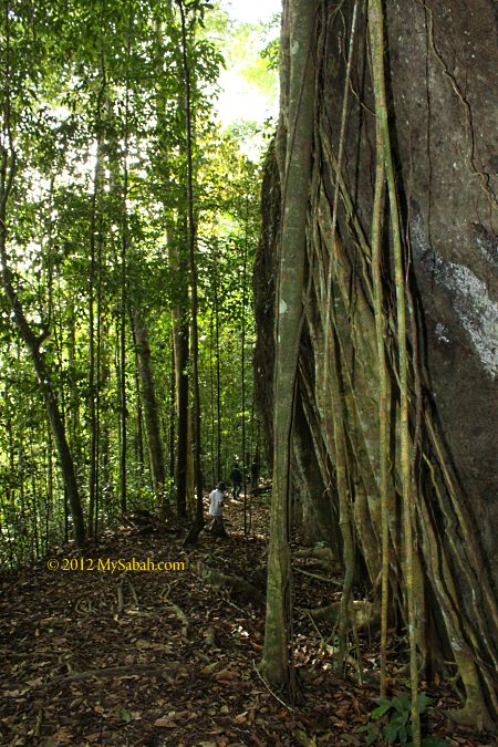
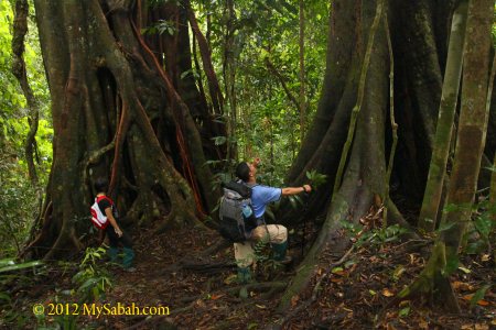
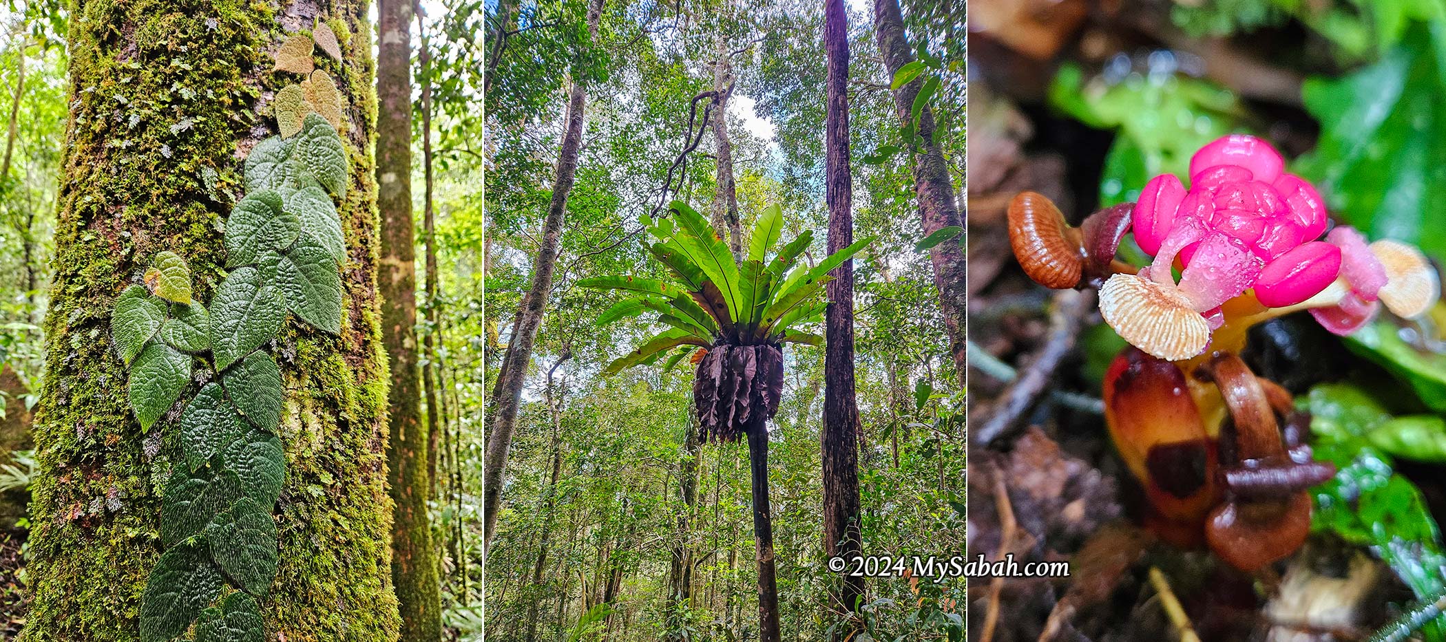
If you move slowly, you’ll notice the wonderful views you missed during the climb in the dark. With the daylight, I could see that the forest at lower altitudes is completely different from the mossy montane forest near the top. It’s a hill and lowland rainforest with larger trunks, and the flora is much more diverse. I spotted unique plants like Tristania (the “naked tree”), strangling figs, parasitic Balanophora flowers, bird’s-nest ferns, and a variety of aroids, gingers, and yam plants.
Then it rained on and off, so I sped up to get back to the starting point. The last 2 km was supposed to be an easy walk, but the uneven surface, like a dry riverbed, was tough on my tired feet. In the end, I made it back to camp by 2 p.m., while some slower climbers returned around 8 p.m.
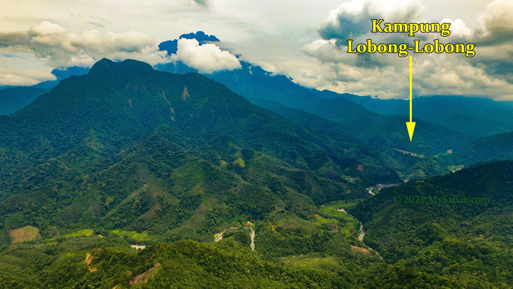
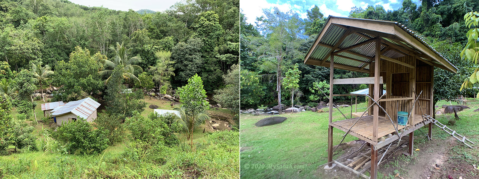
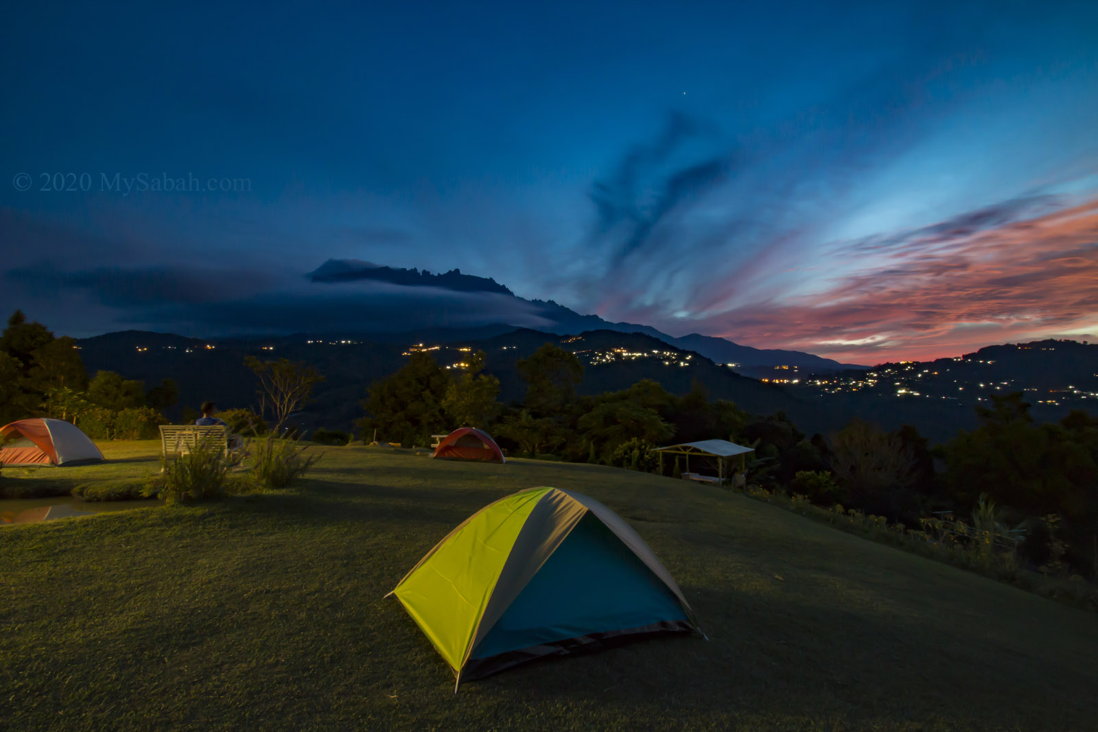
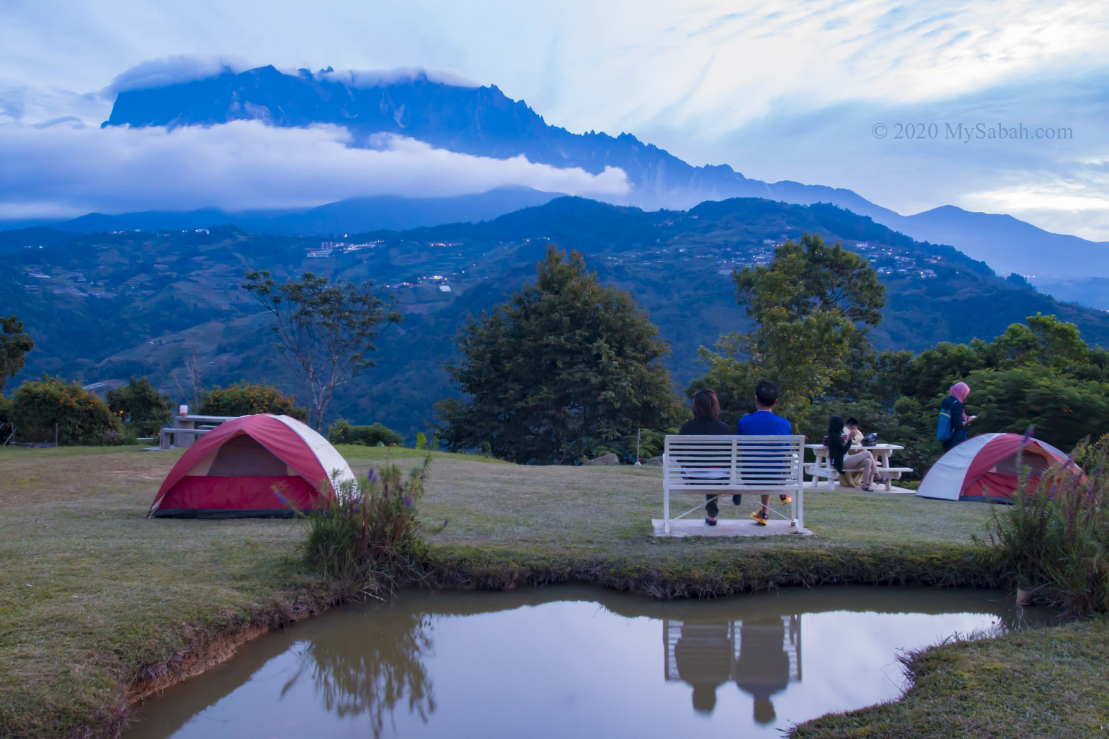
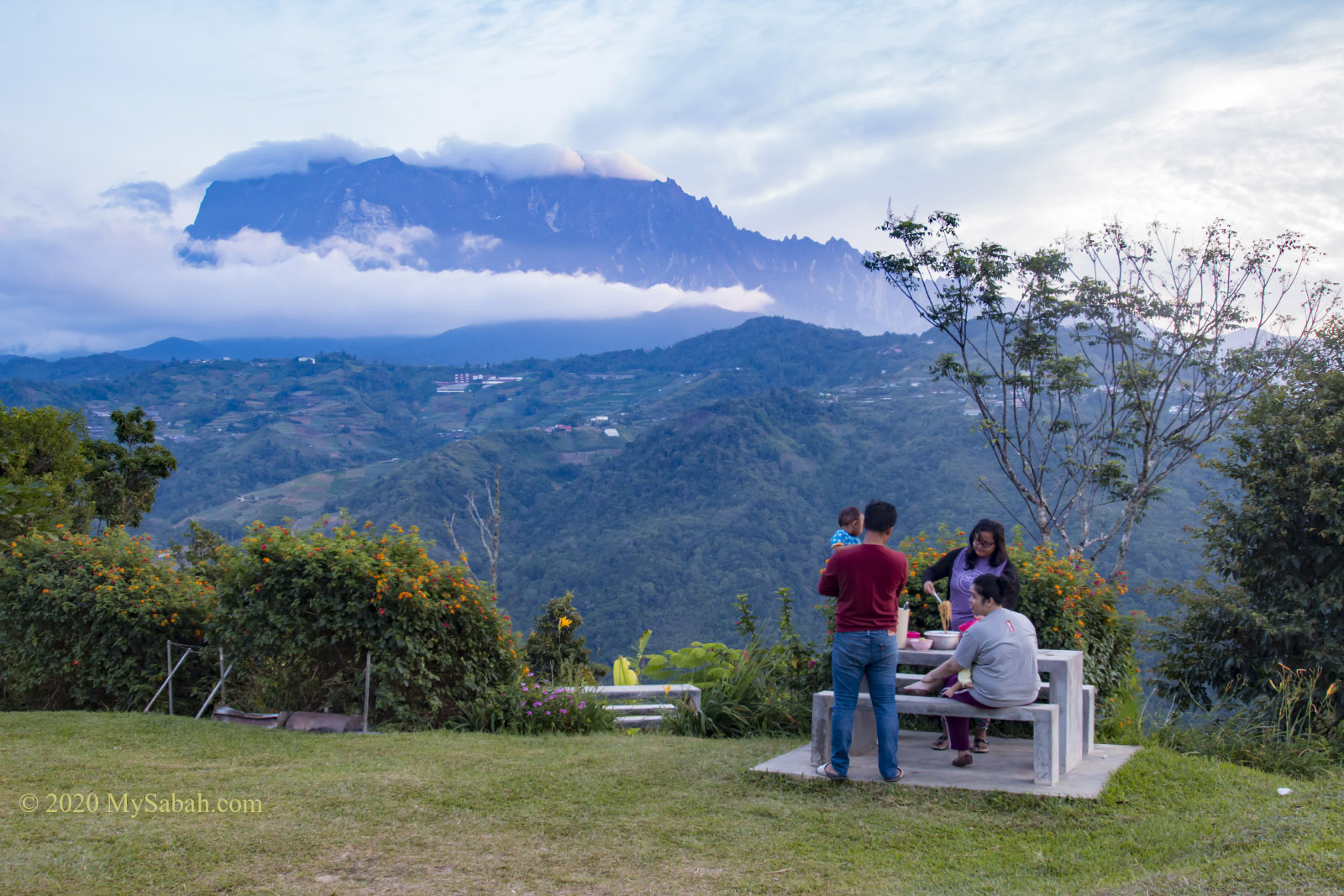
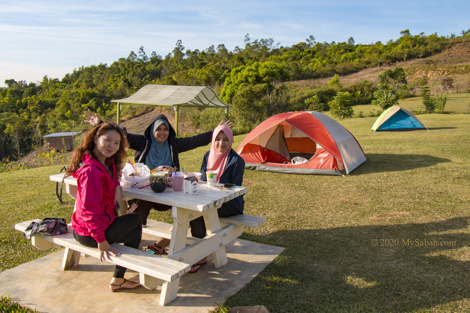
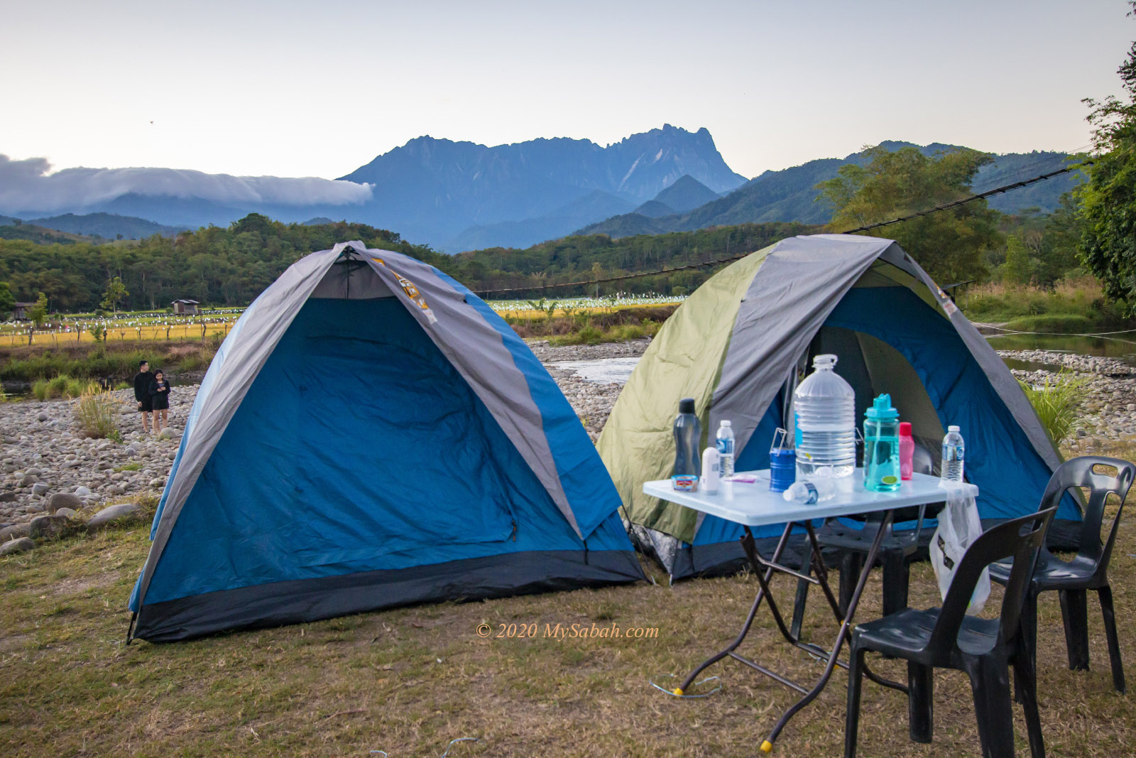
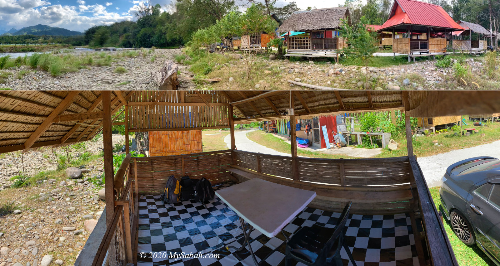
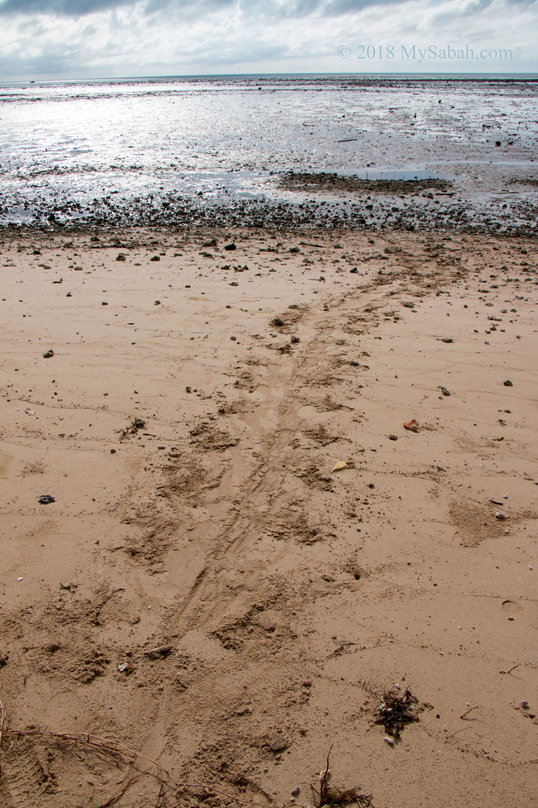
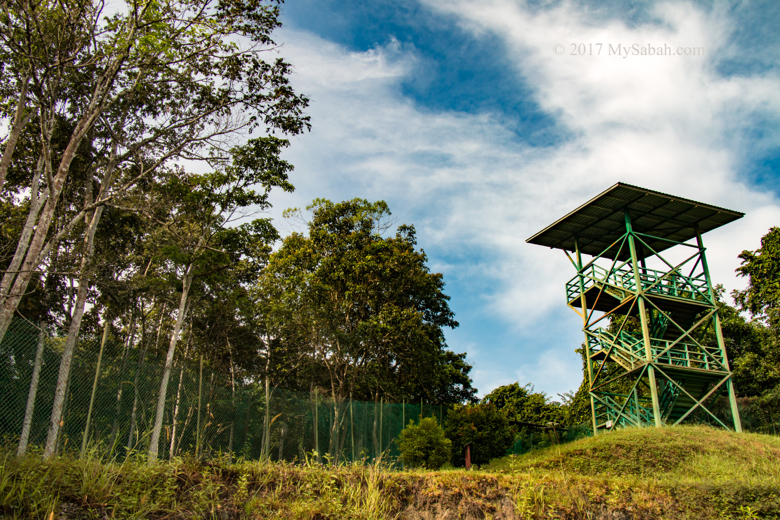
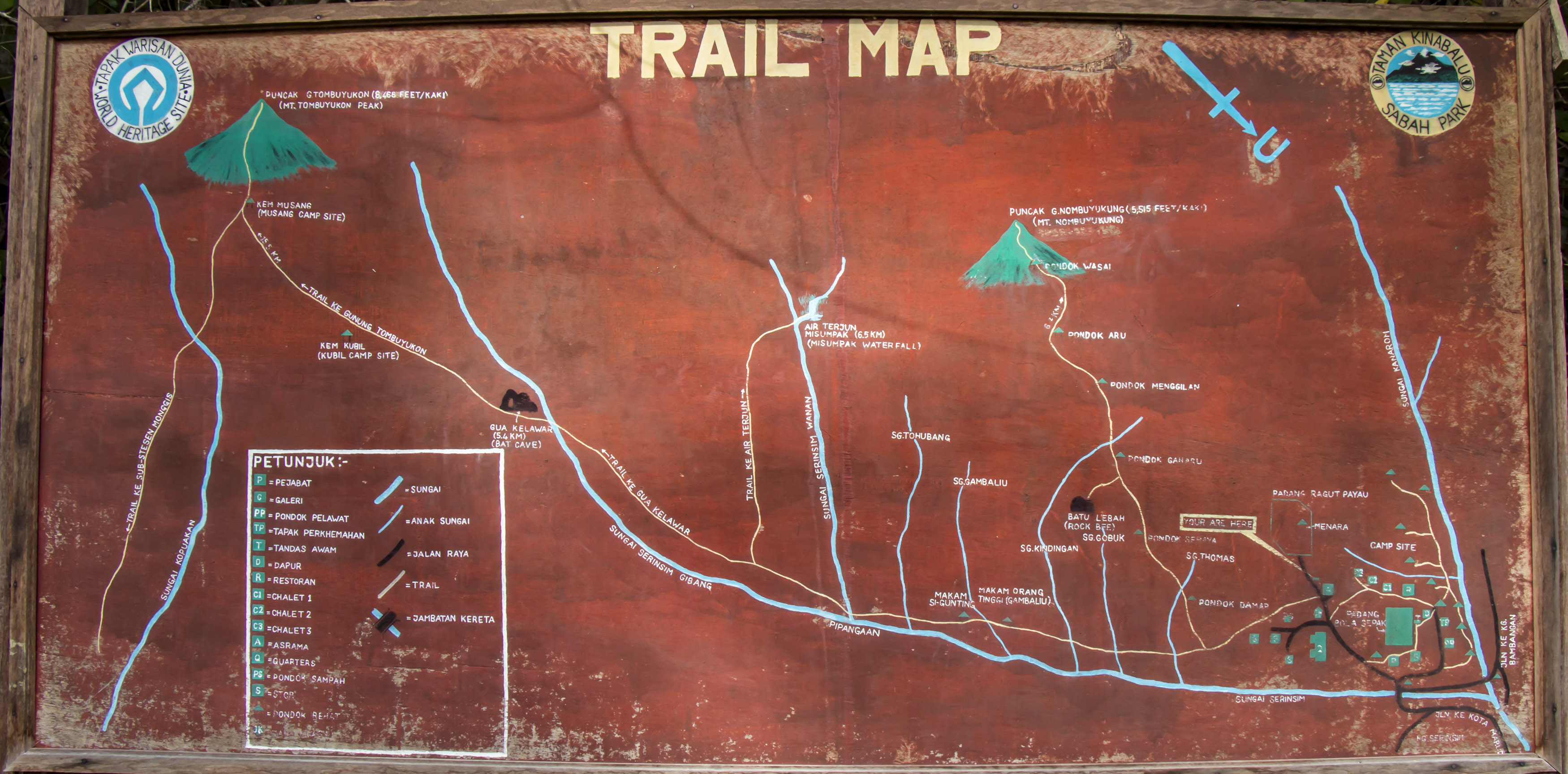
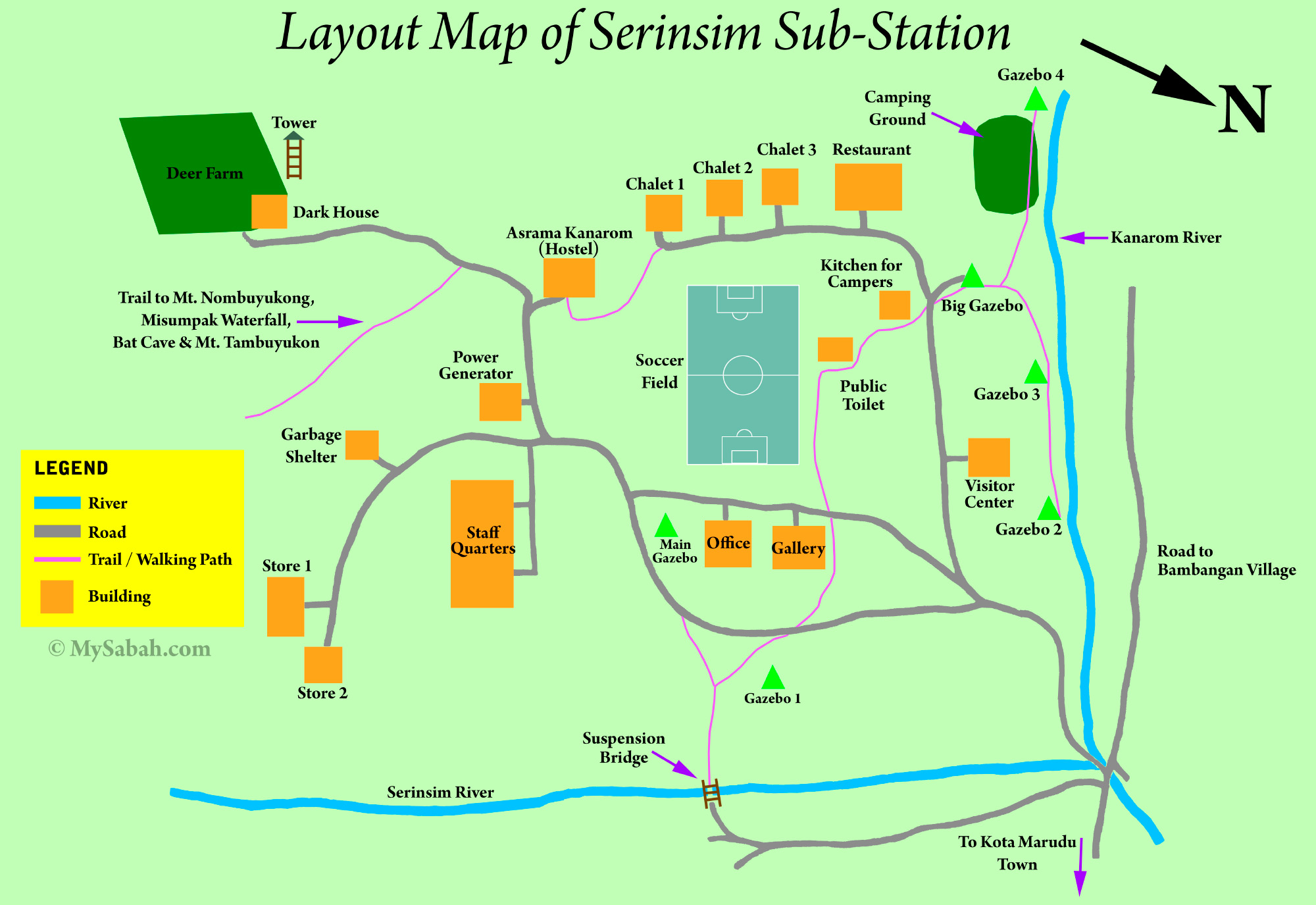
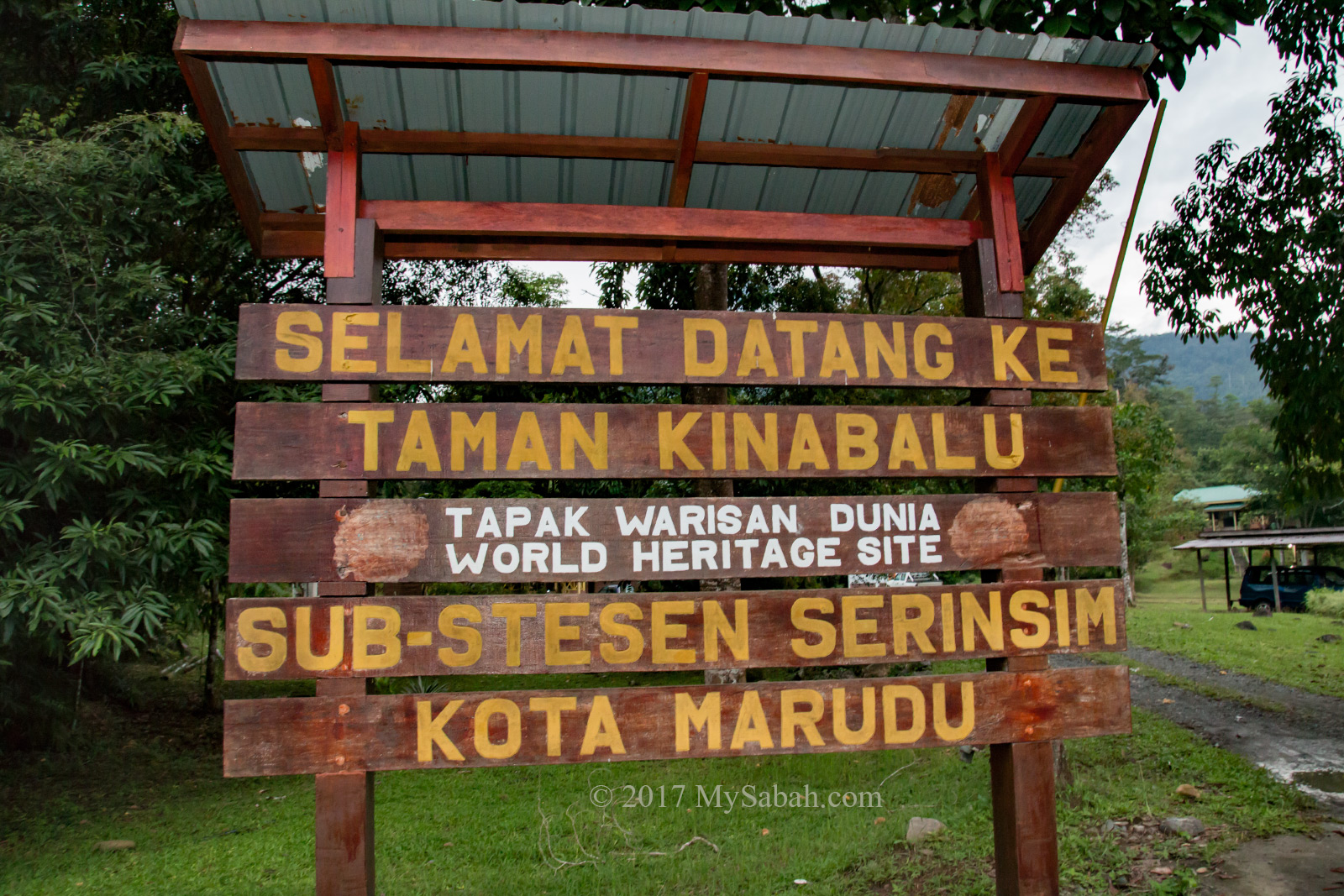
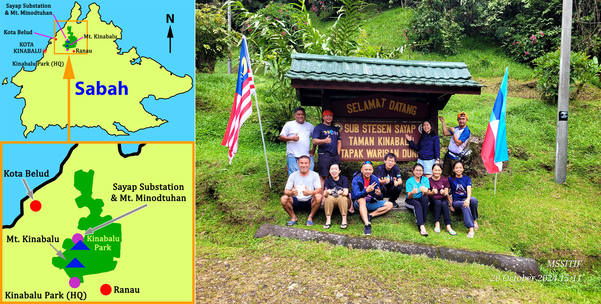
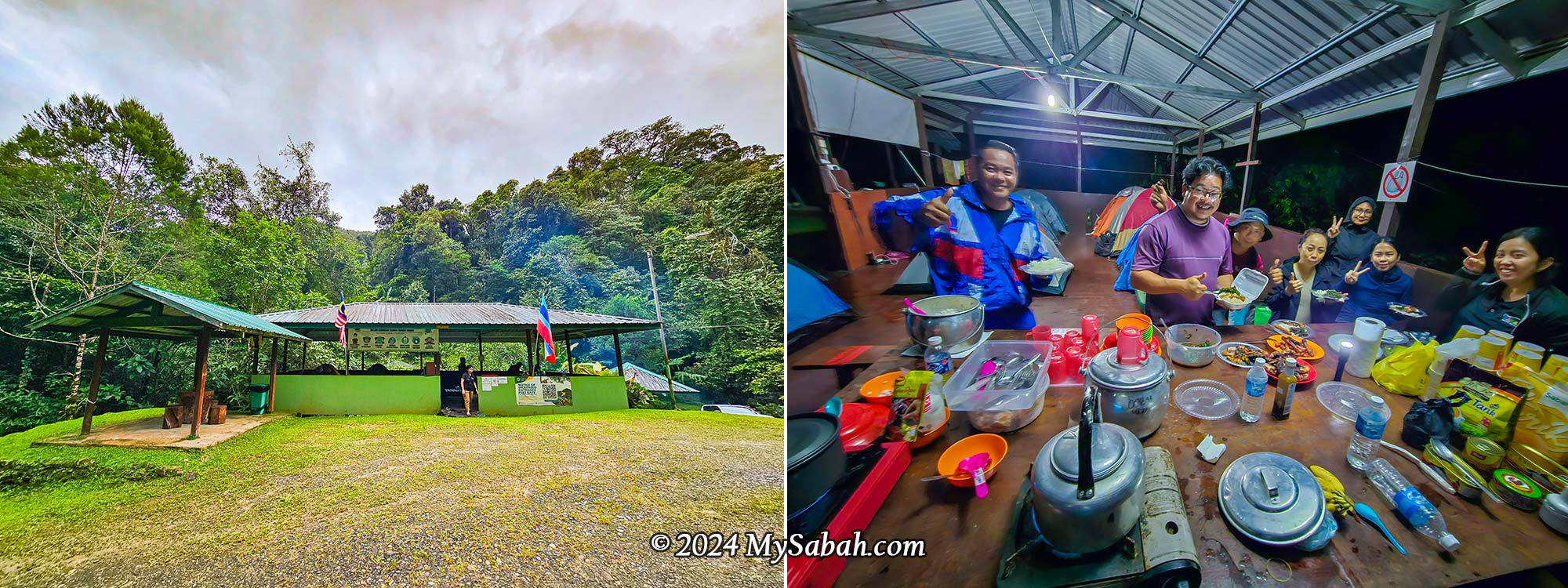
Sayap Substation
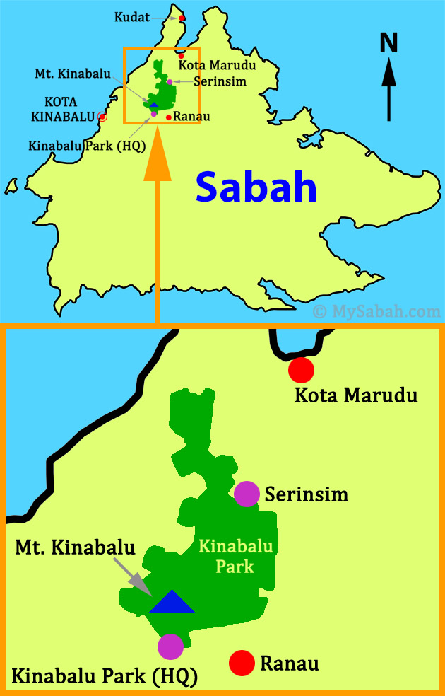
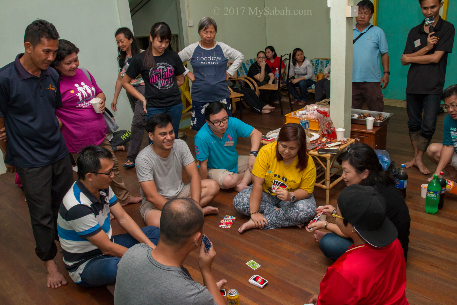
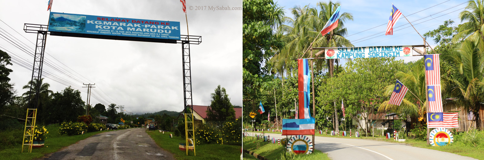
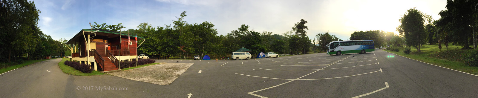
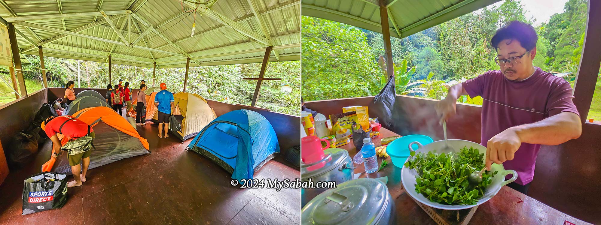
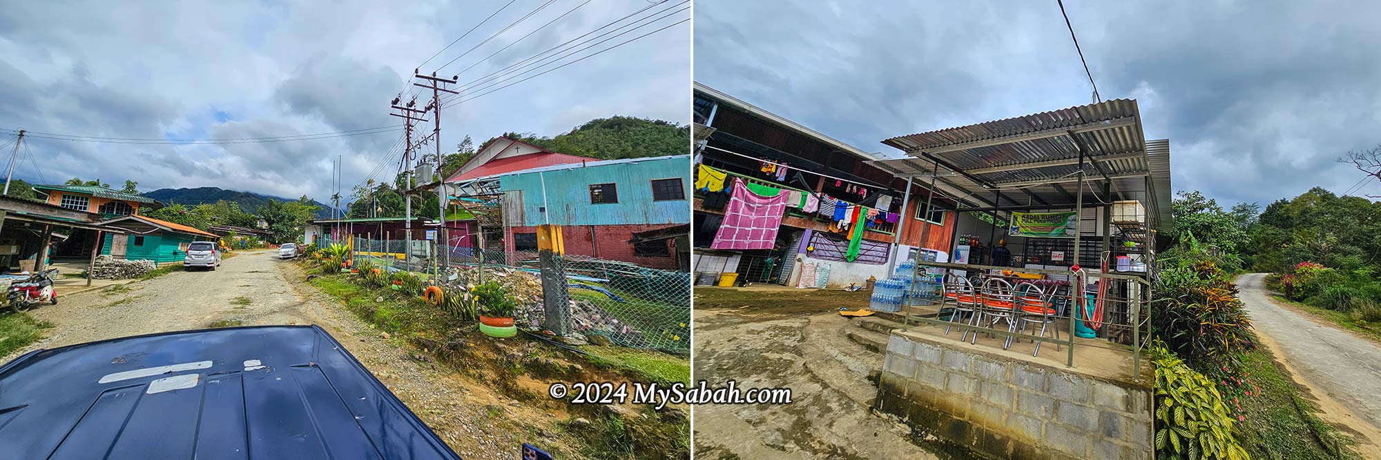
Sayap Substation (See Location Map) is one of the seven substations of Kinabalu Park, managed by Sabah Parks. Located at 1,000 m above sea level in the northwestern part of Kinabalu Park, it is accessible via gravel and concrete roads from Kota Belud, passing through several villages.
Though it is a small park with minimal amenities for visitors, it’s the closest location for starting the climb. The daytime temperature is about 28°C (82°F), and it can be quite cool at night (around 20°C).
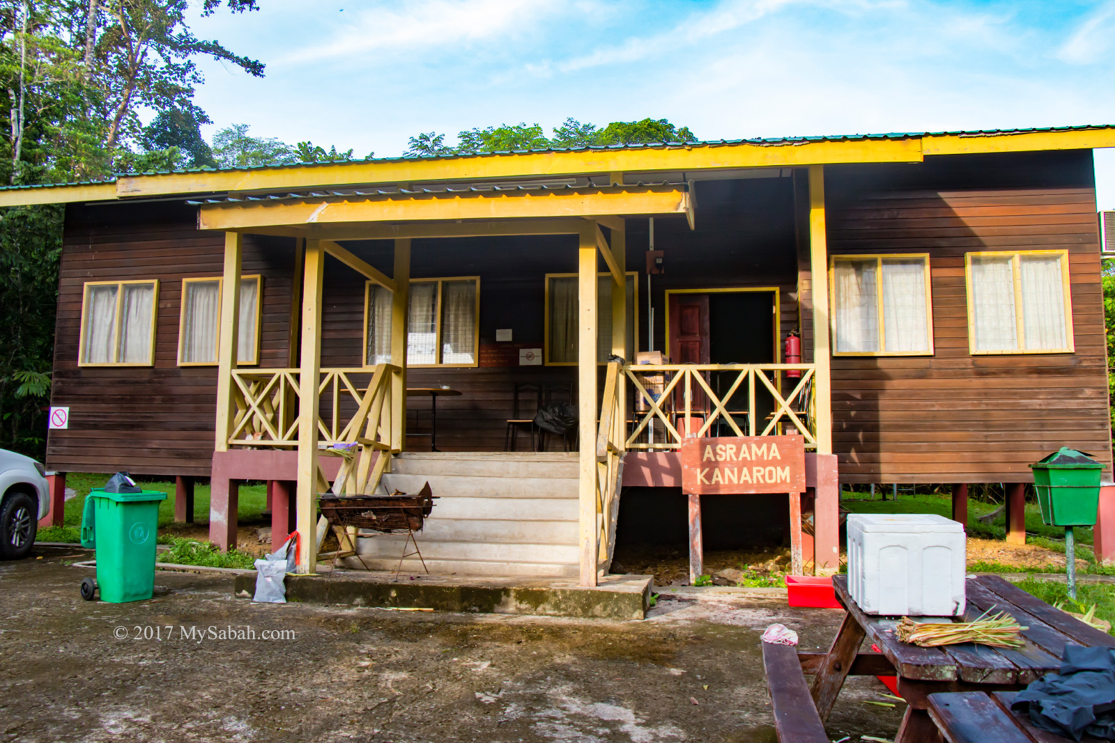
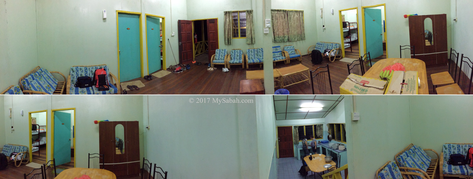
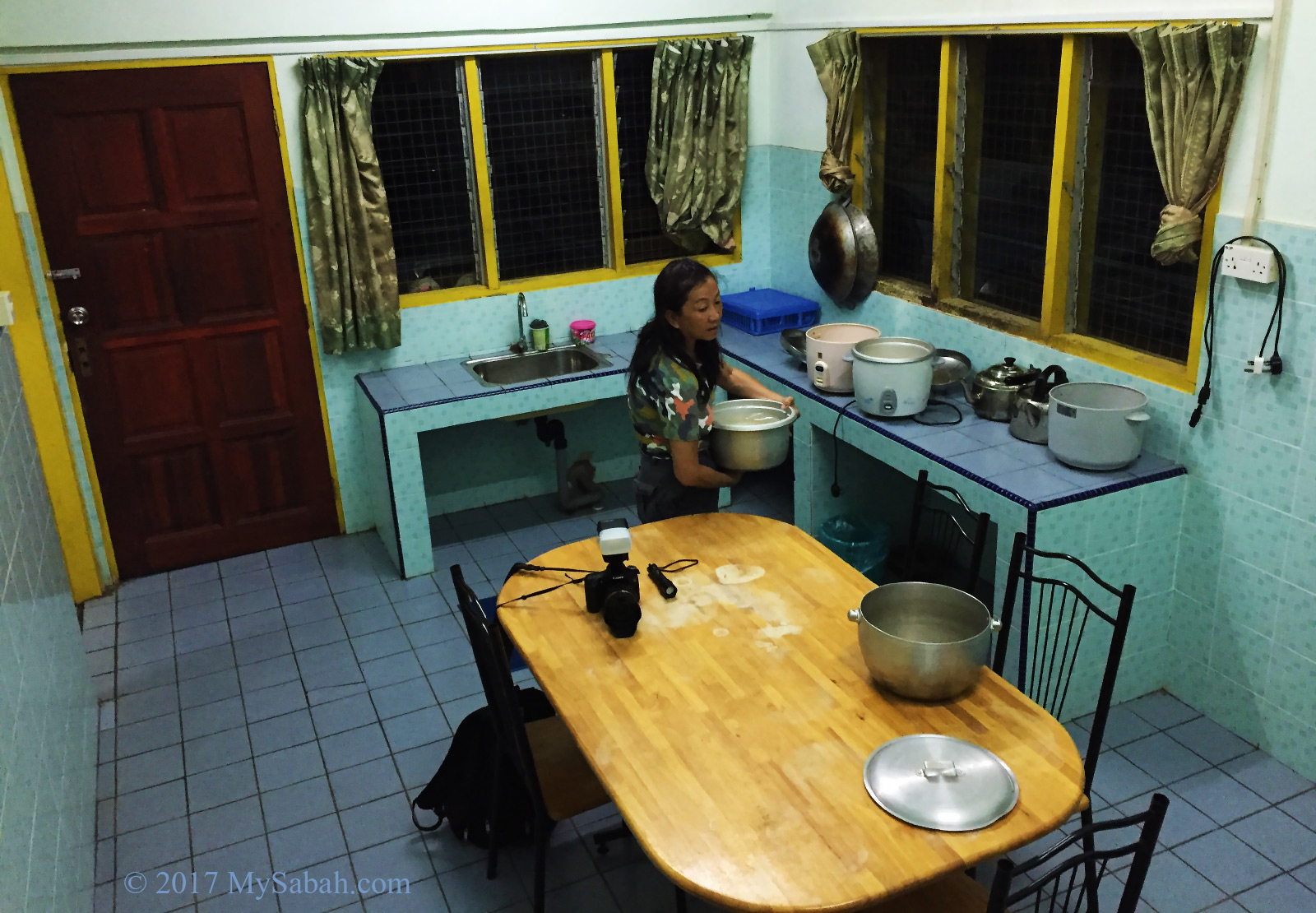
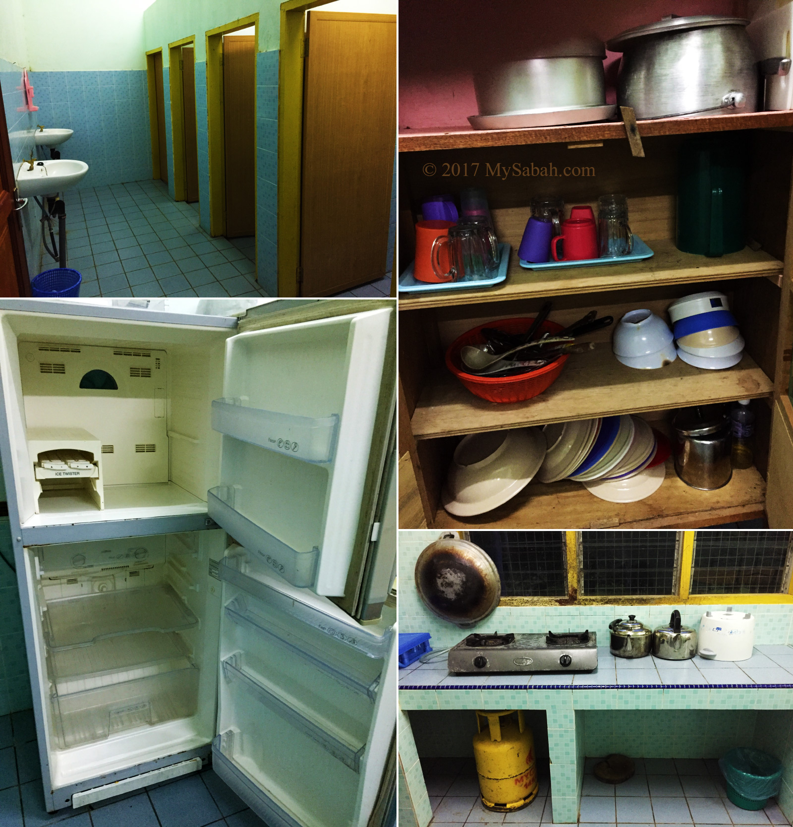
Facilities
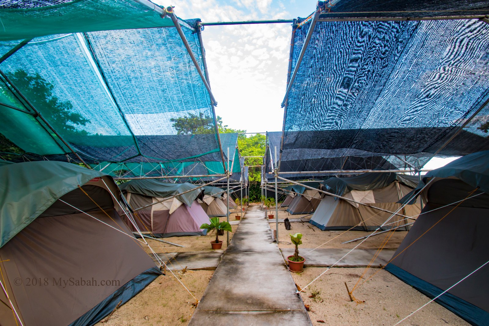
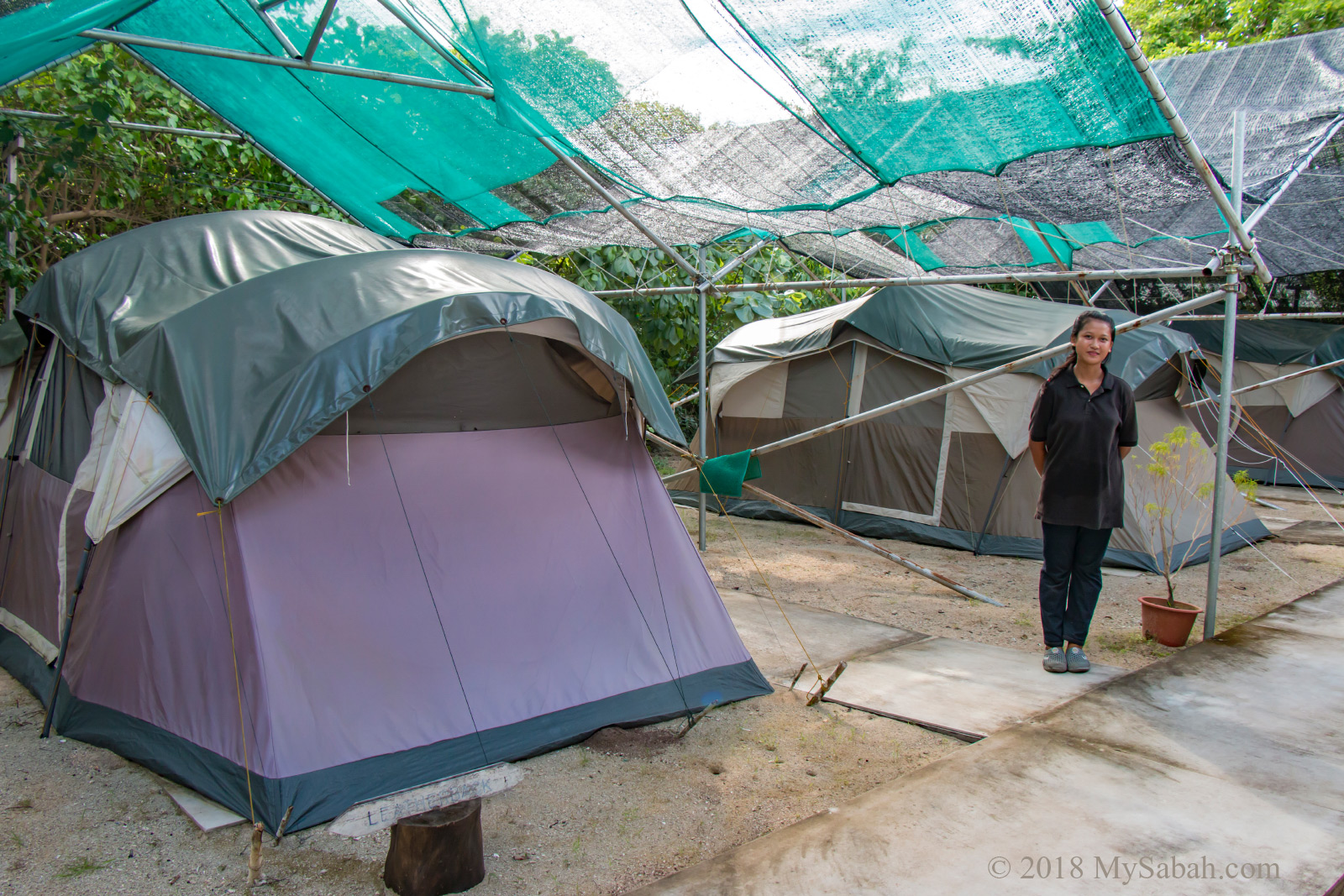
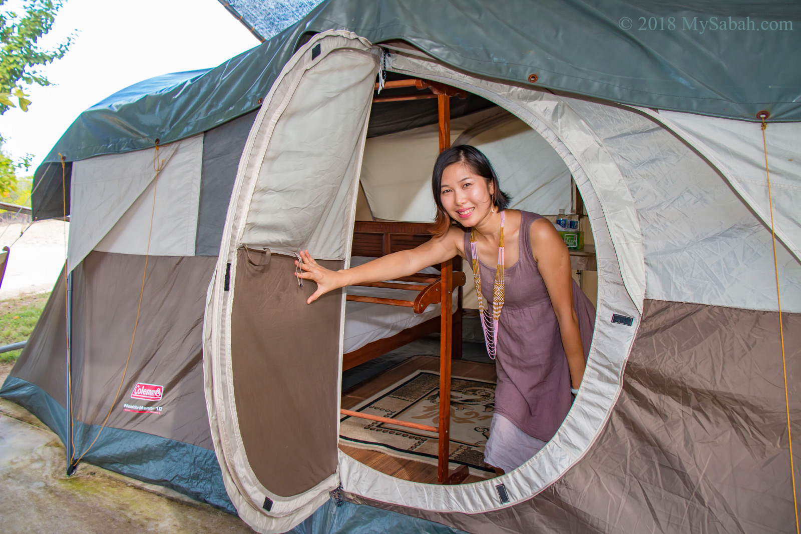
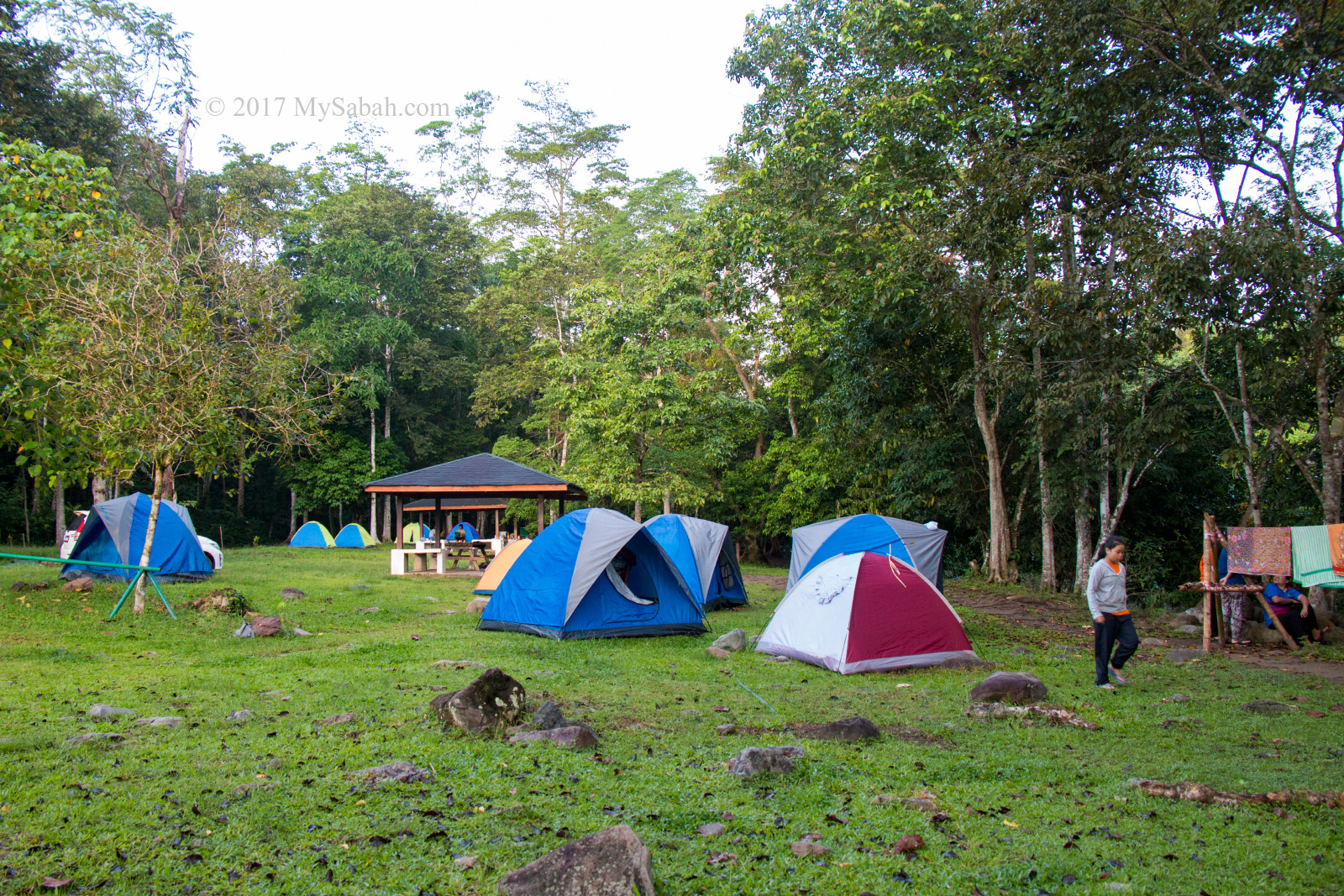
Please book your camping spot with Sabah Parks in advance before visiting.
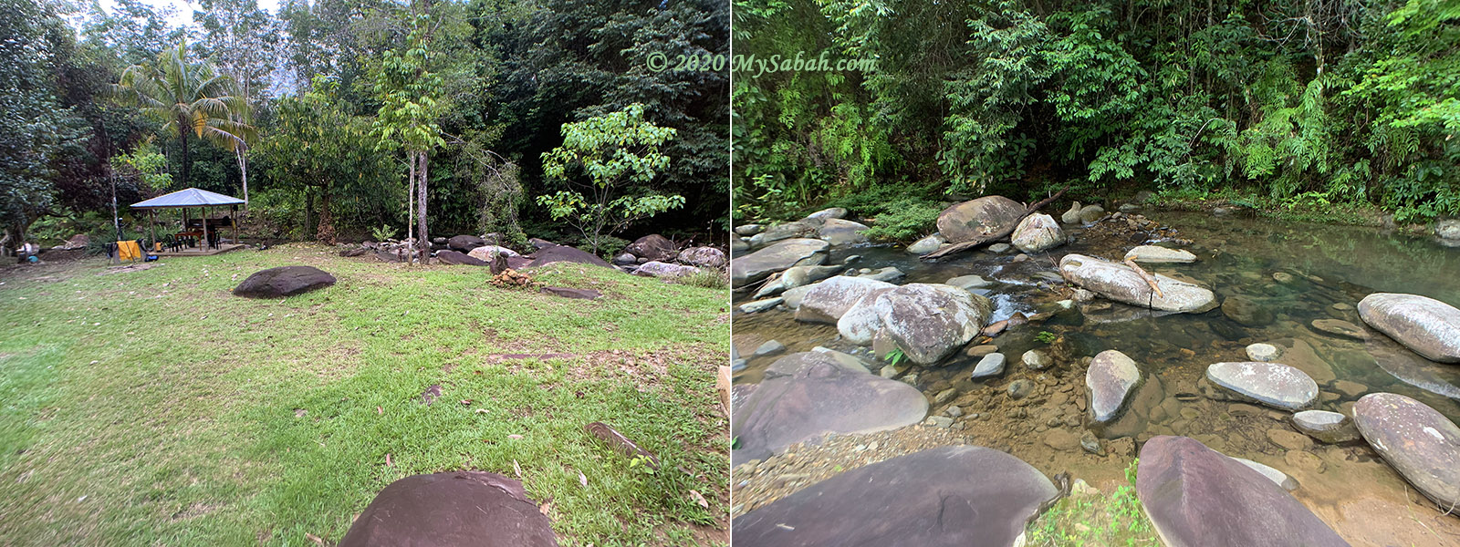
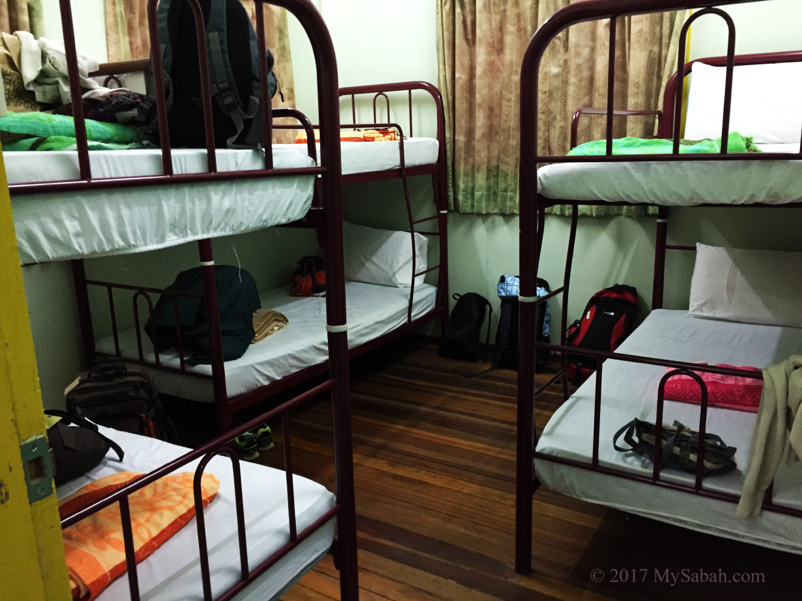
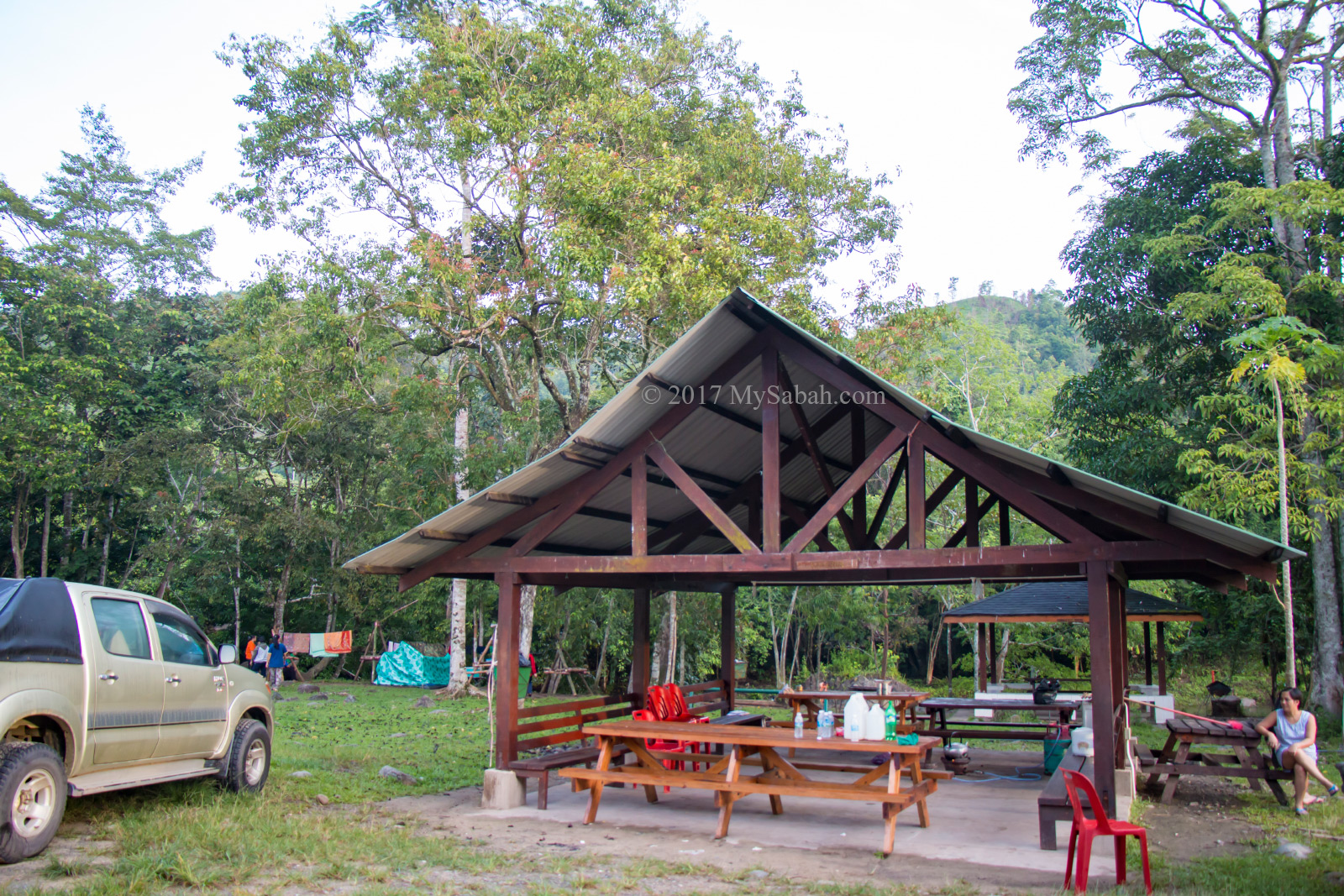
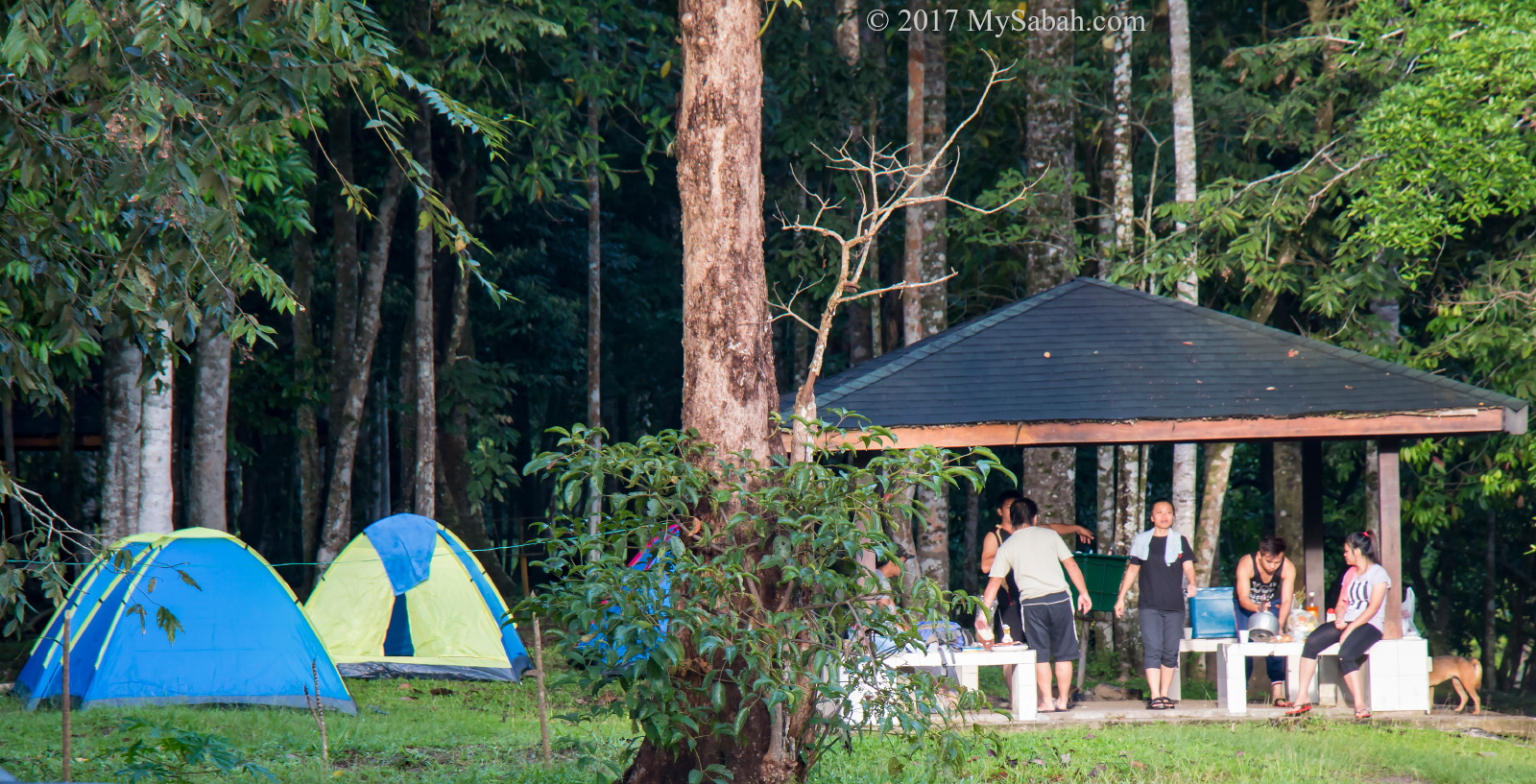
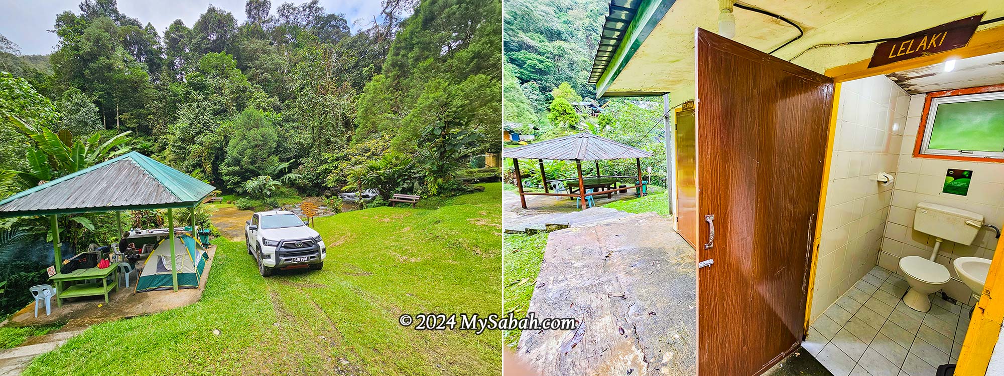
- Camping ground, or you can camp in one of the three gazebos.
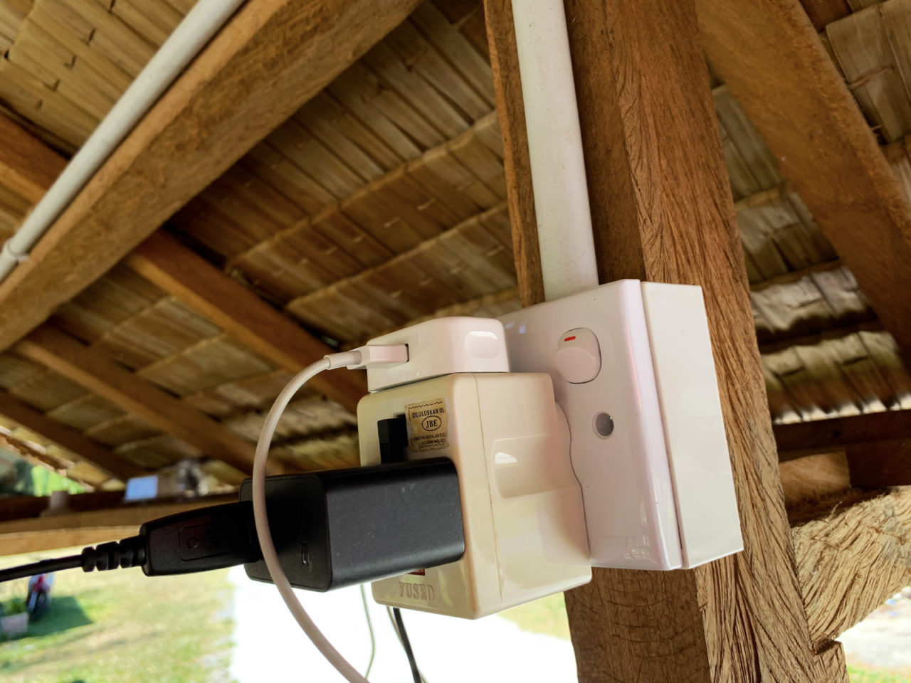
- Hall: A roofed building that can house 6 to 8 camping tents. Includes long tables, benches, power points, and lighting.
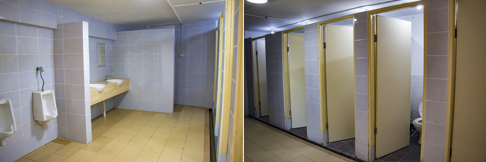
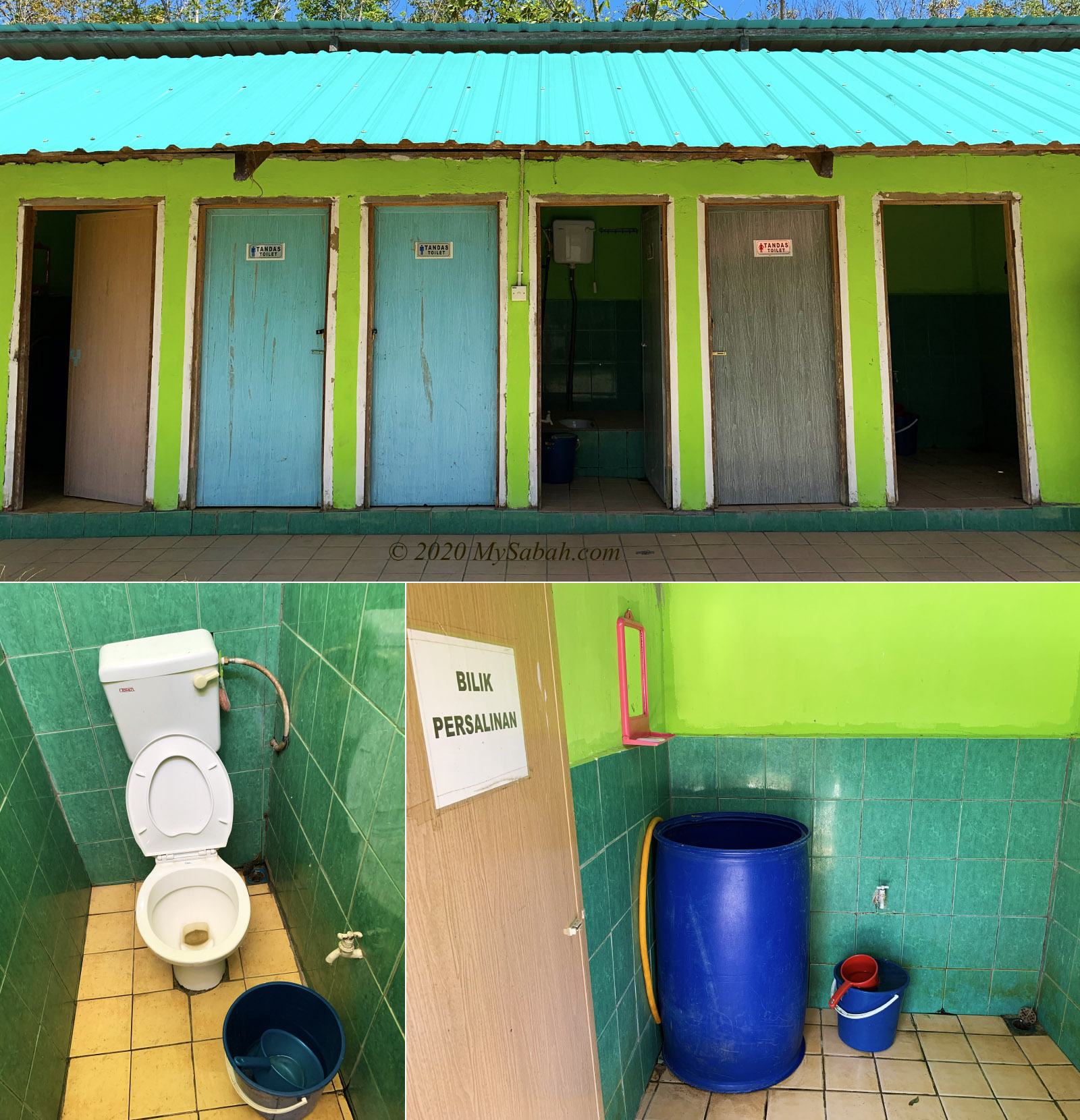
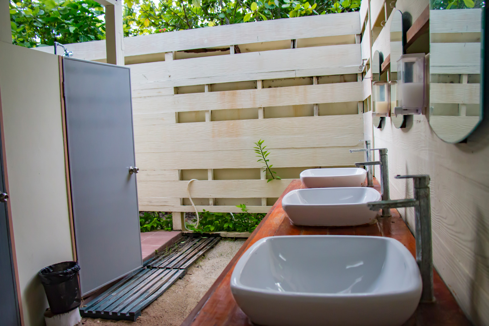
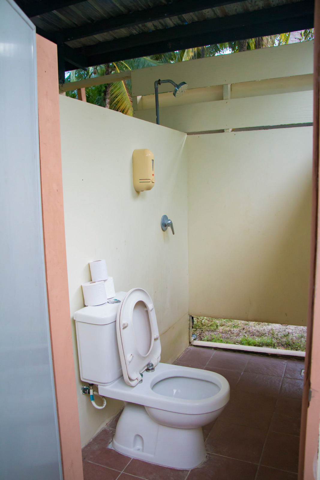
- Outdoor toilet and shower rooms for both males and females. No hot water.
- No Wi-Fi. Phone reception is weak or nearly nonexistent.
- Electricity is generated by a mini hydro system.
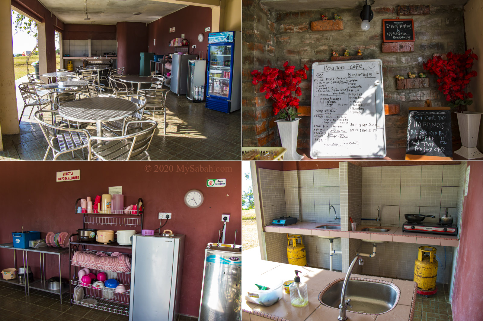
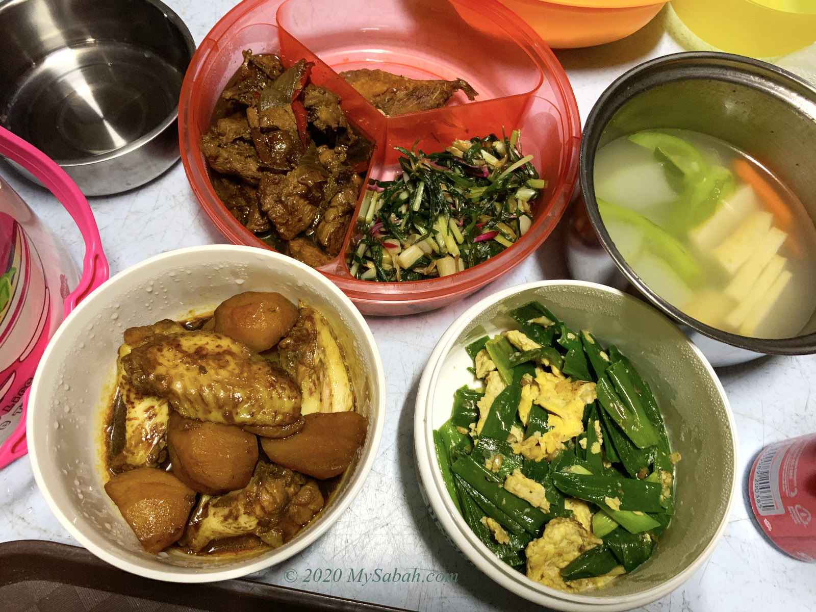
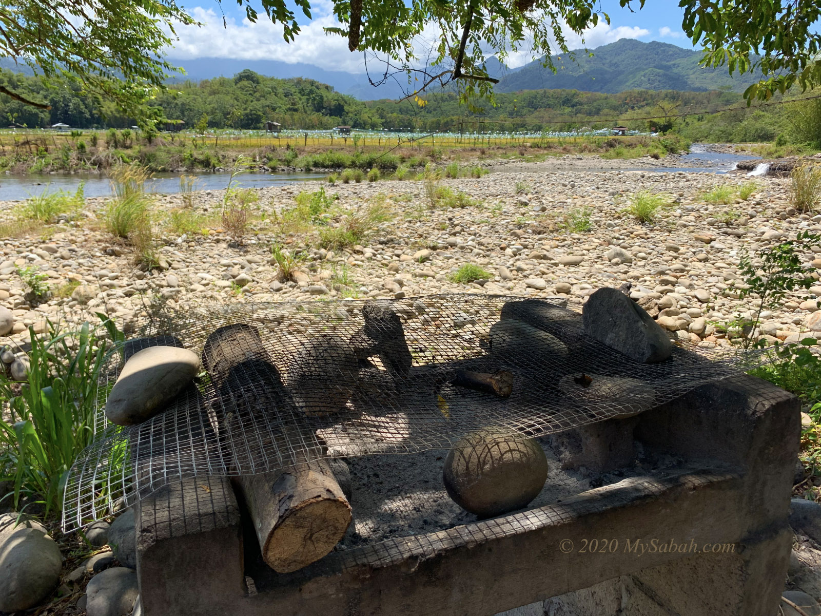
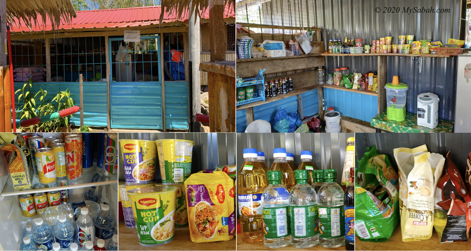
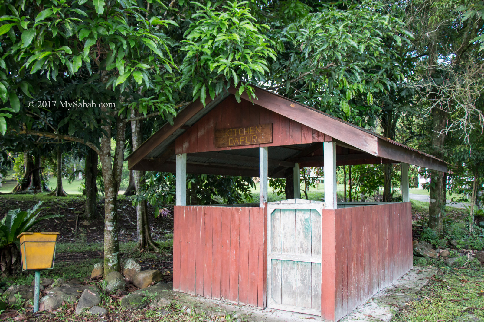
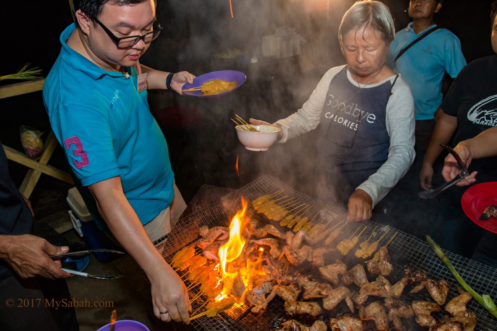
- No canteen, café, or restaurant. Bring or cook your own food.
- You can park your car at the substation.
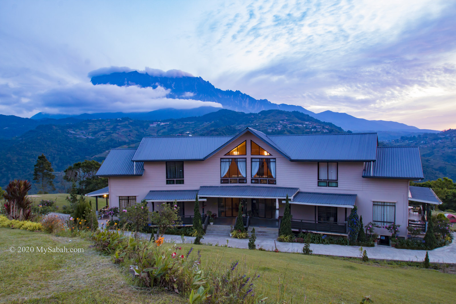
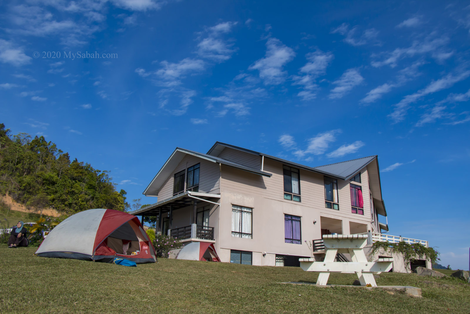
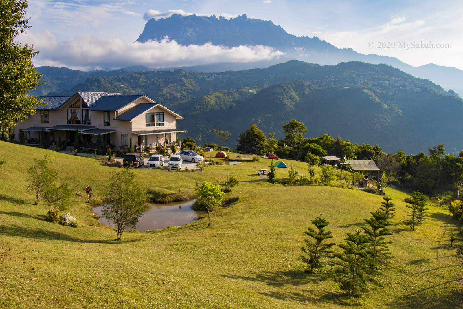
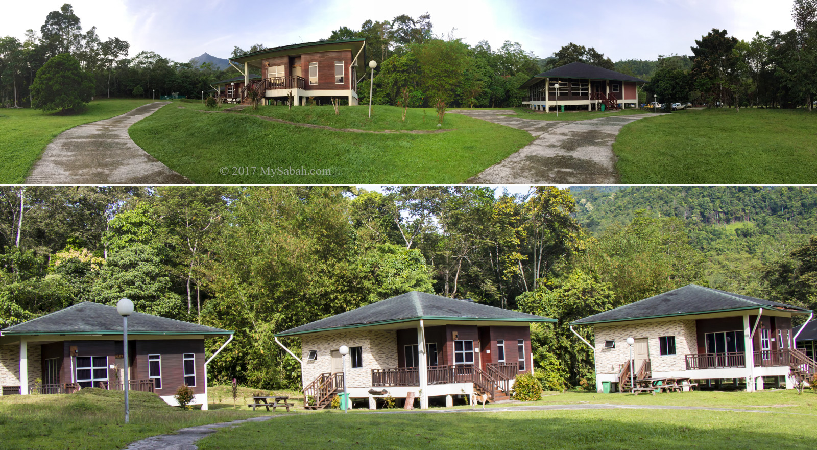
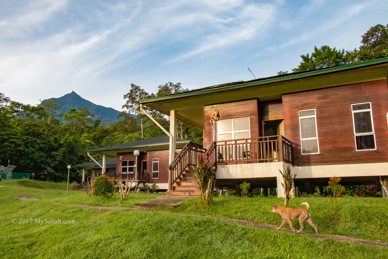
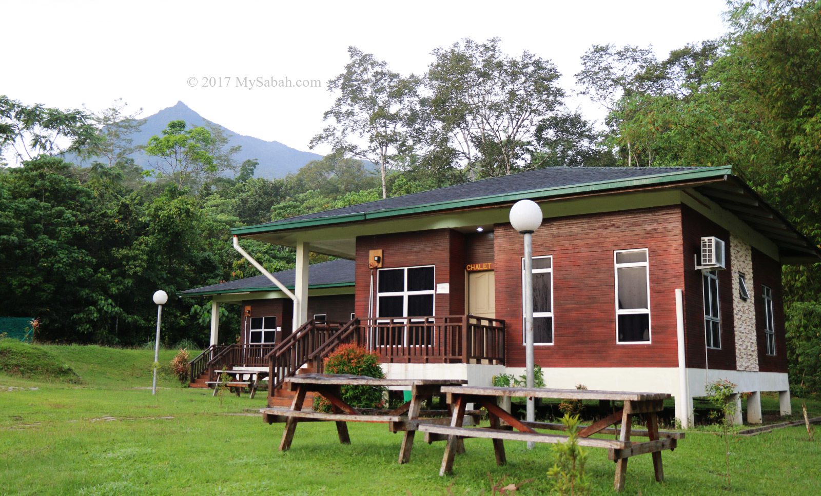
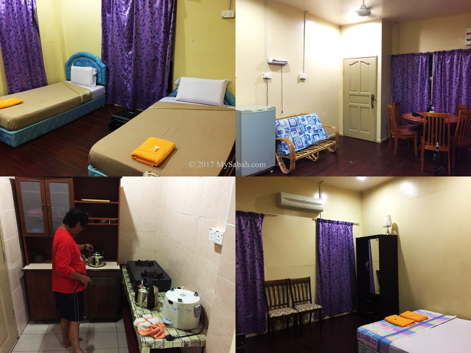
If you prefer family- or tourist-friendly accommodation, you can stay at Porohon Garden & Lodge, which is 6 km away from Sayap Substation.
Other Attractions / Activities
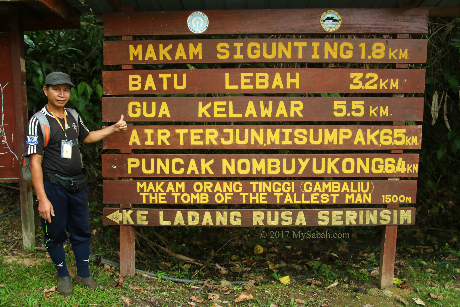
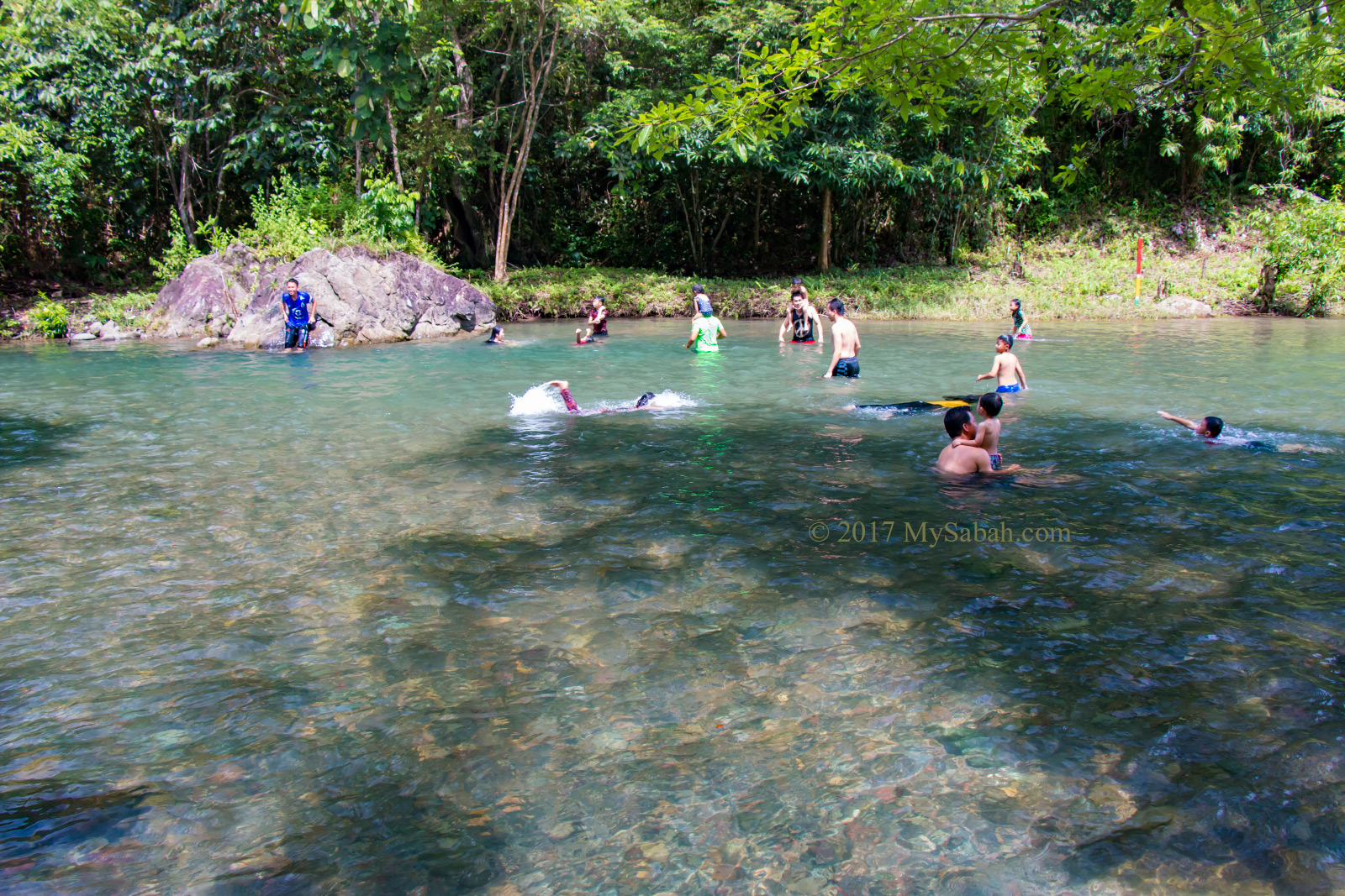
Aside from climbing Mount Minodtuhan, there are many nature-based activities you can enjoy at Sayap Substation, especially for enthusiastic naturalists.
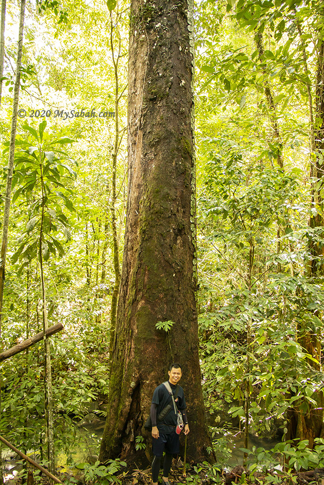
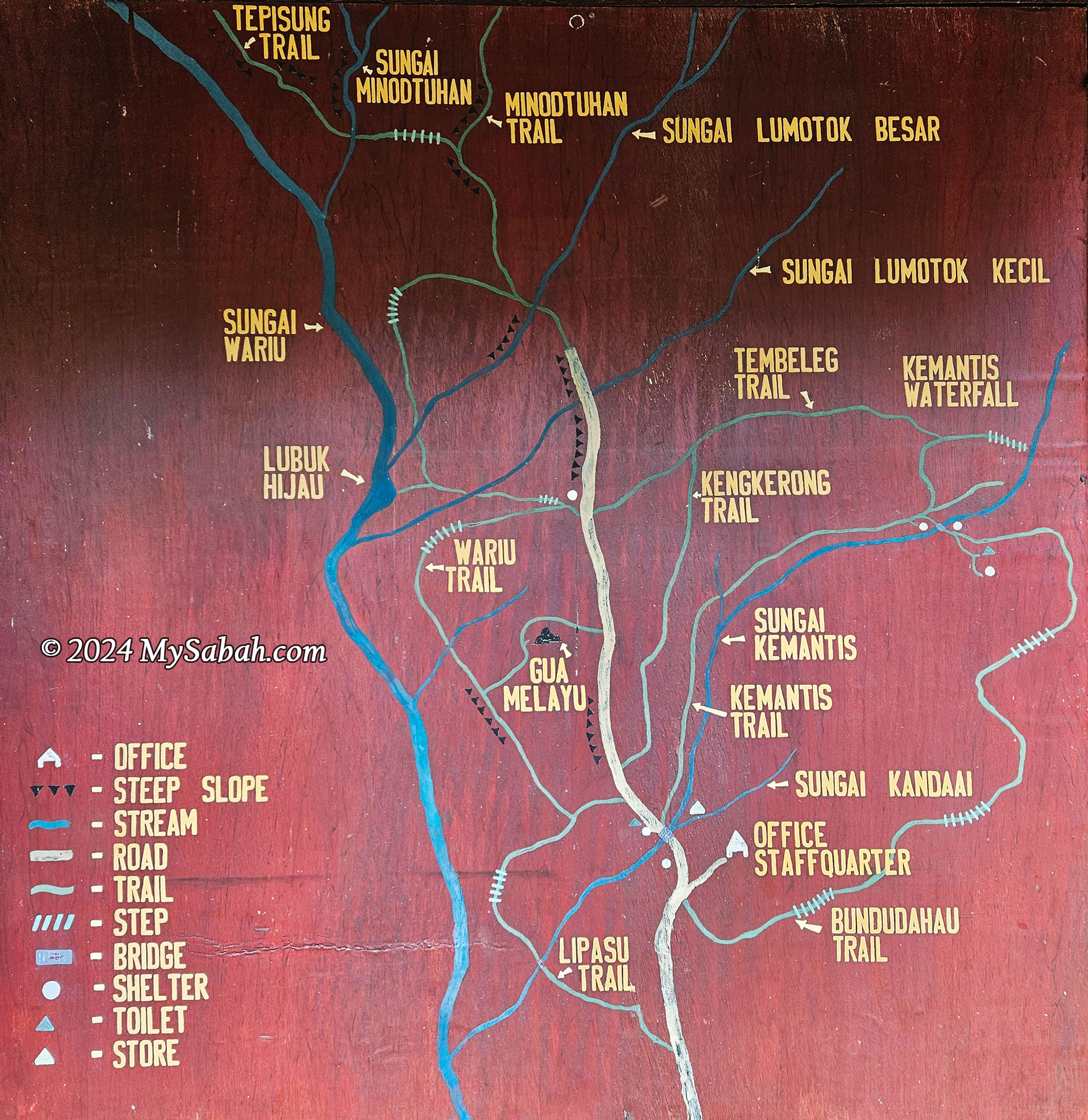
1. Jungle Trails
Explore hiking trails filled with wild fruits, ferns, twisted fig branches, orchids, and epiphytes. The trails range from 500 to 1,000 meters in length. Please note that these are nature trails without boardwalks or paved paths. You can find rare figs native to Borneo, such as Ficus leptocalama, Ficus densechini, and Ficus borneensis, which are hard to find elsewhere.
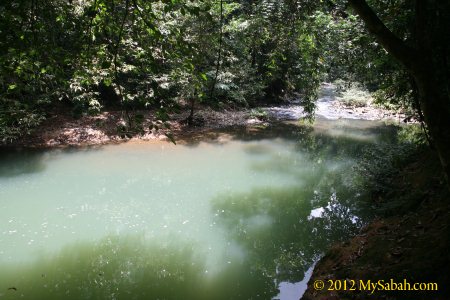
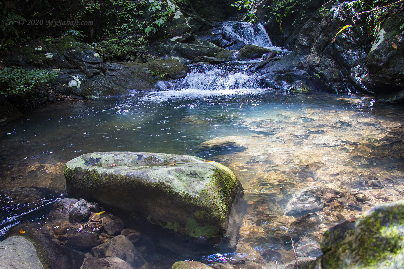
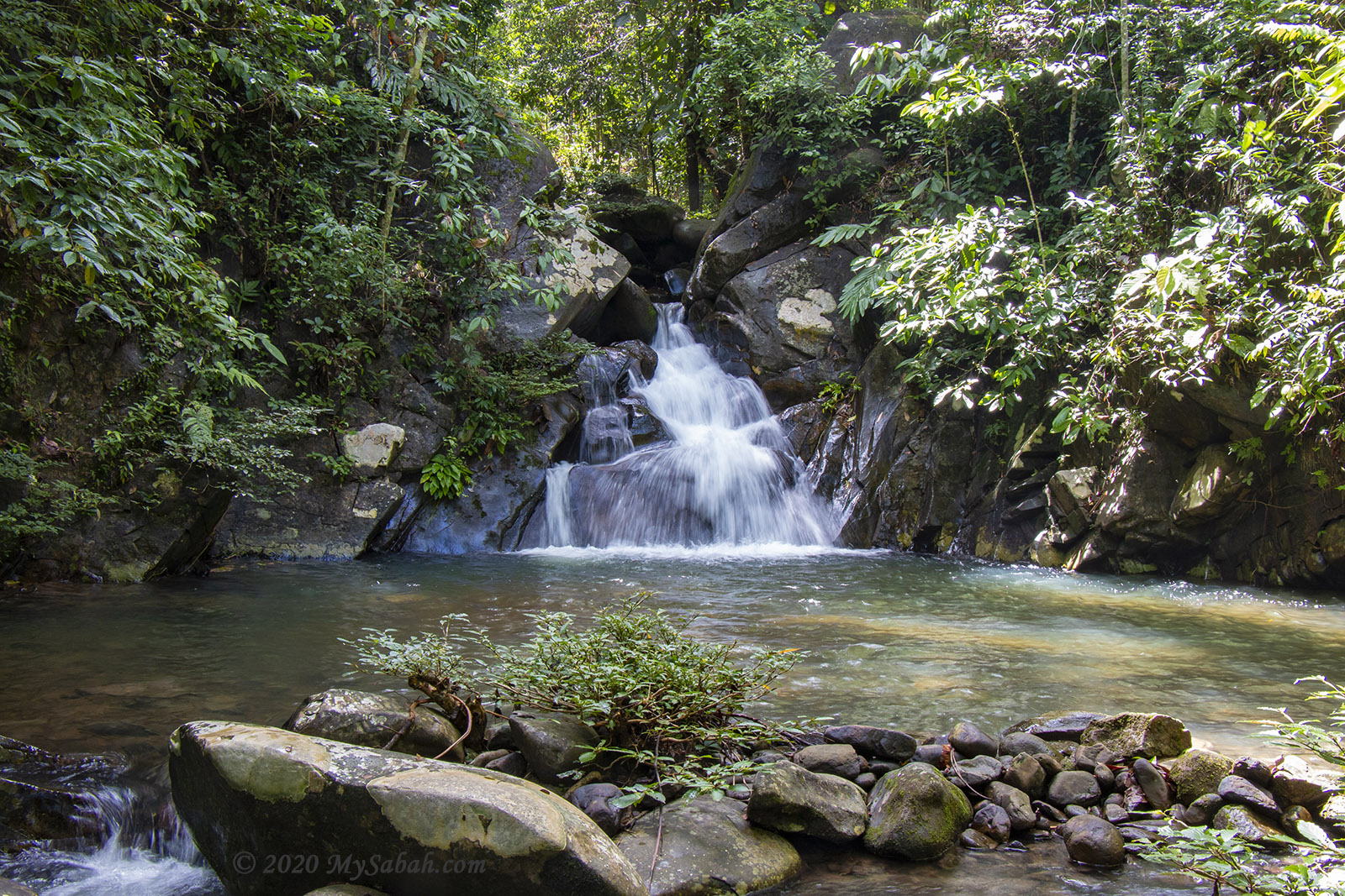
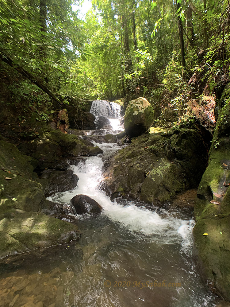
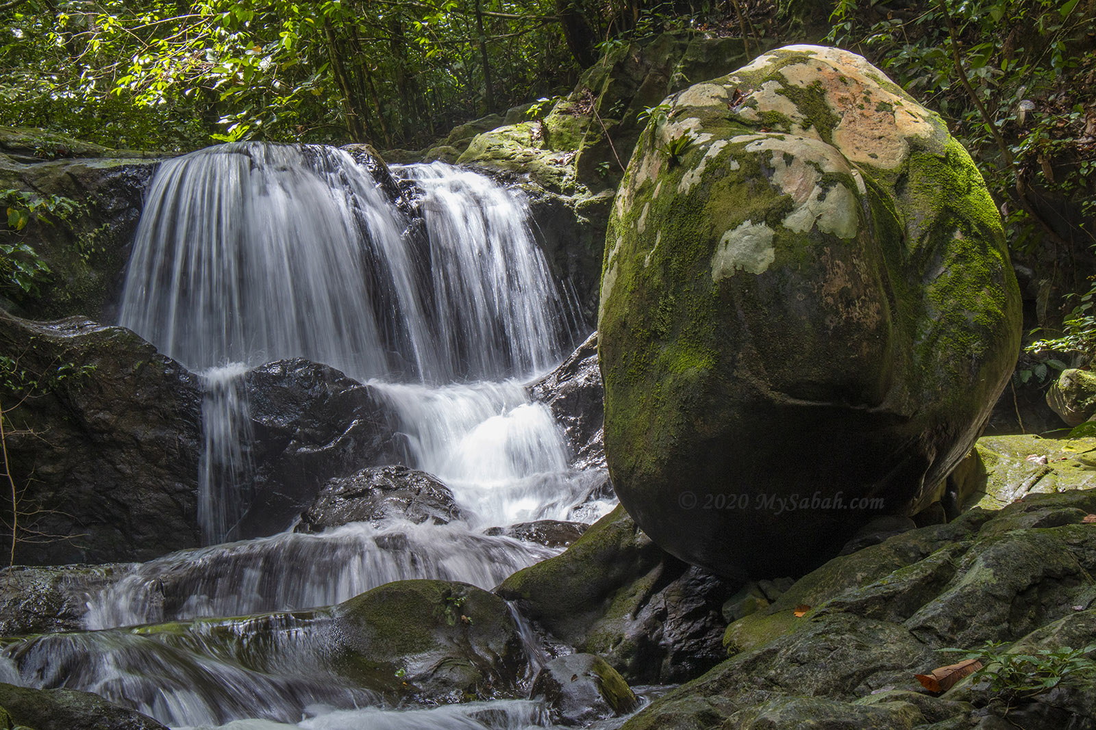
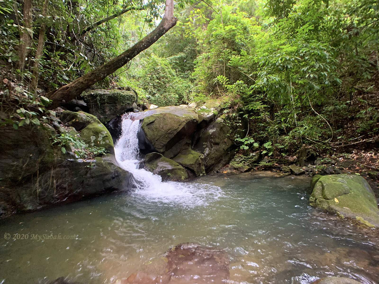
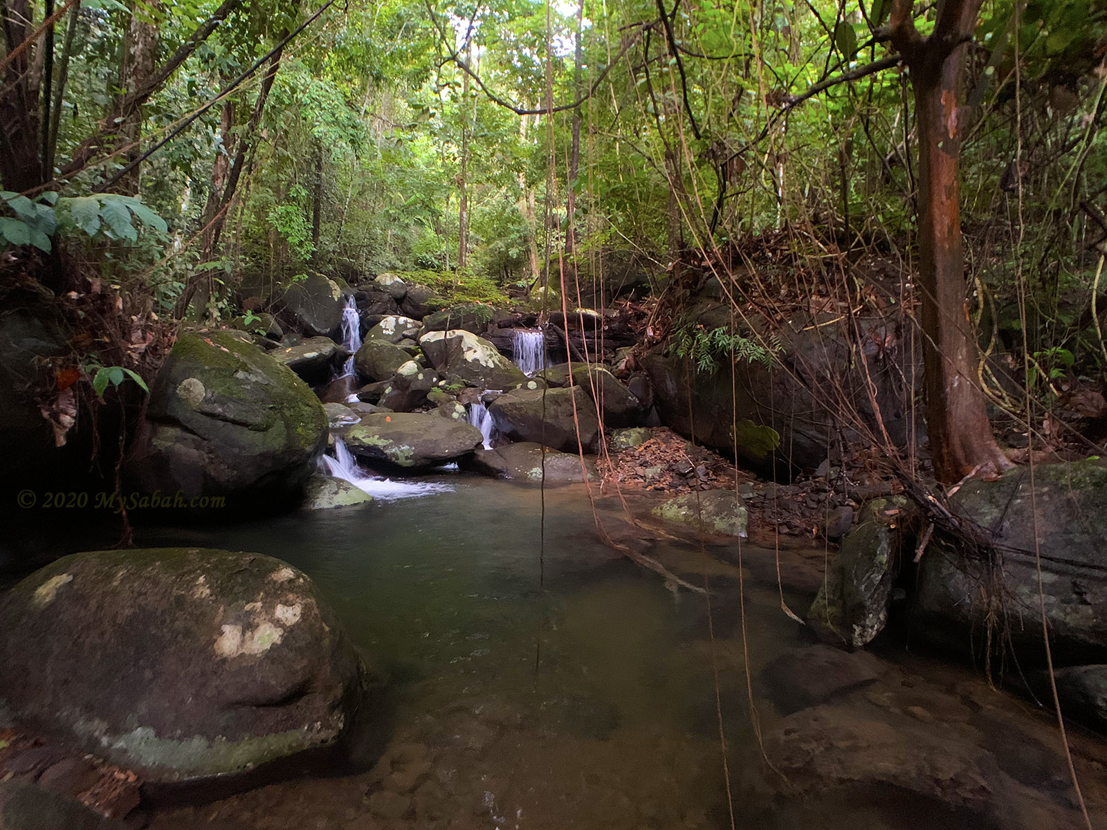
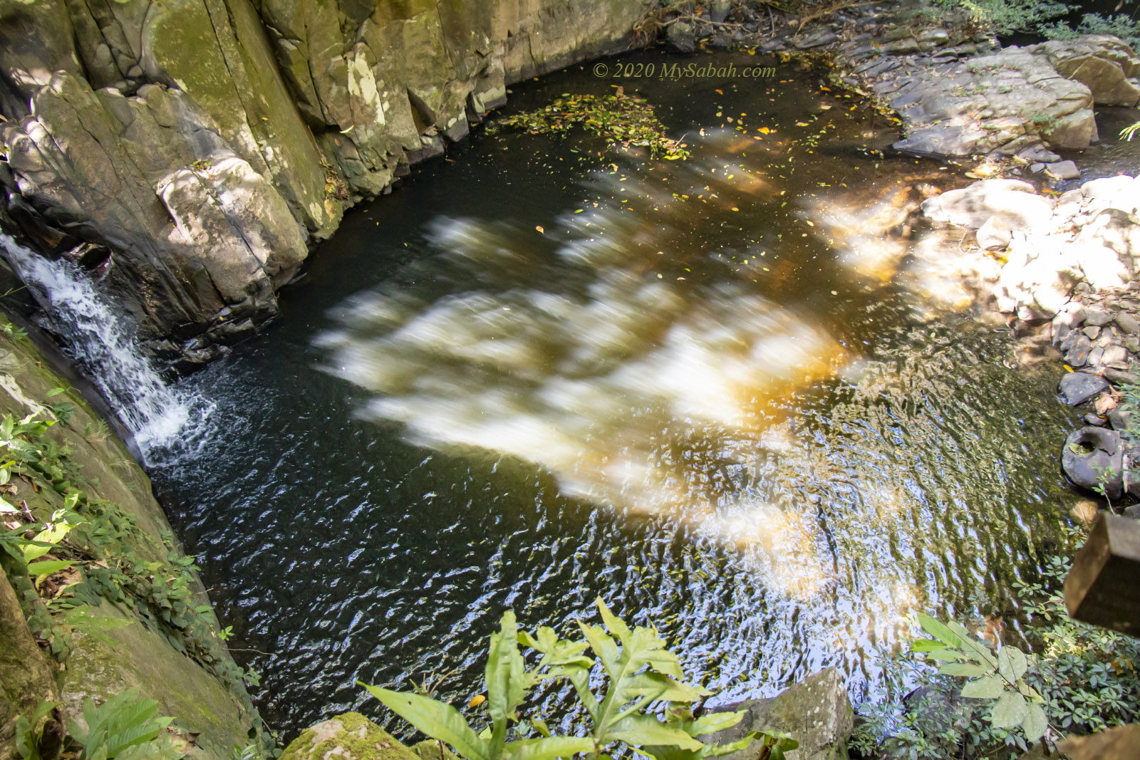
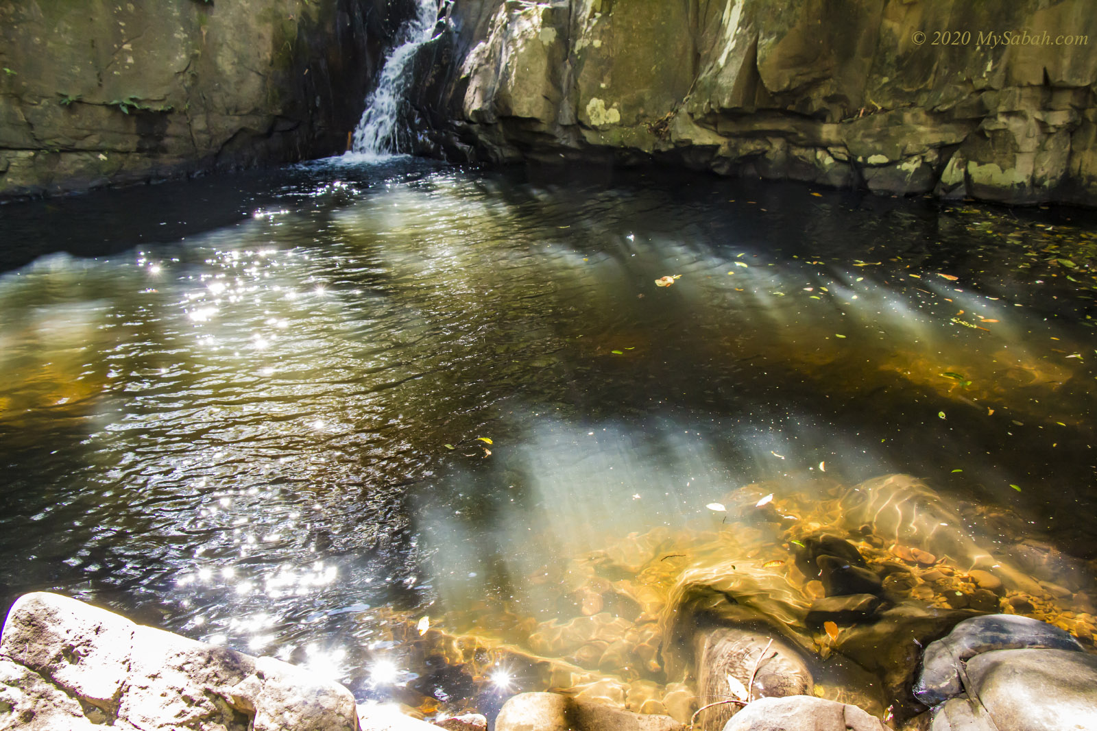
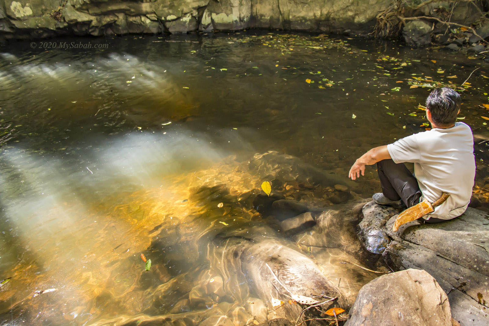
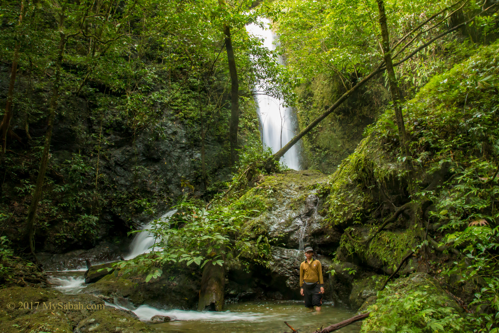
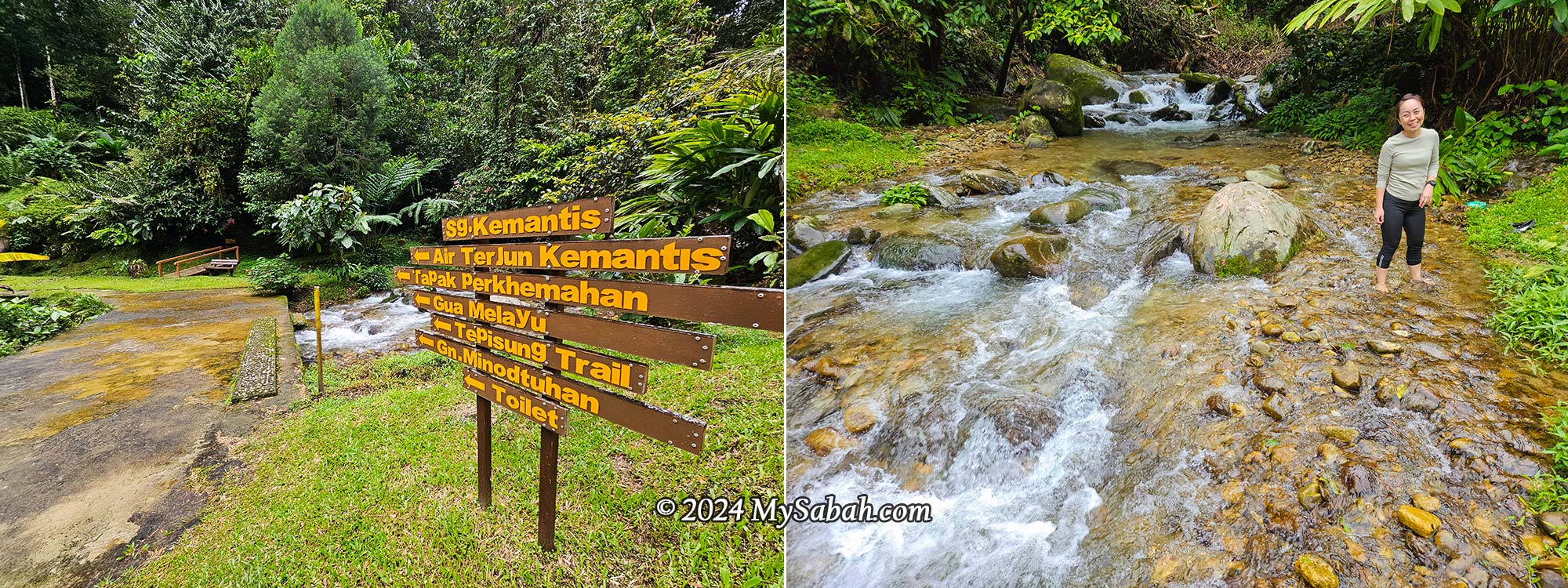
2. Kemantis Waterfall
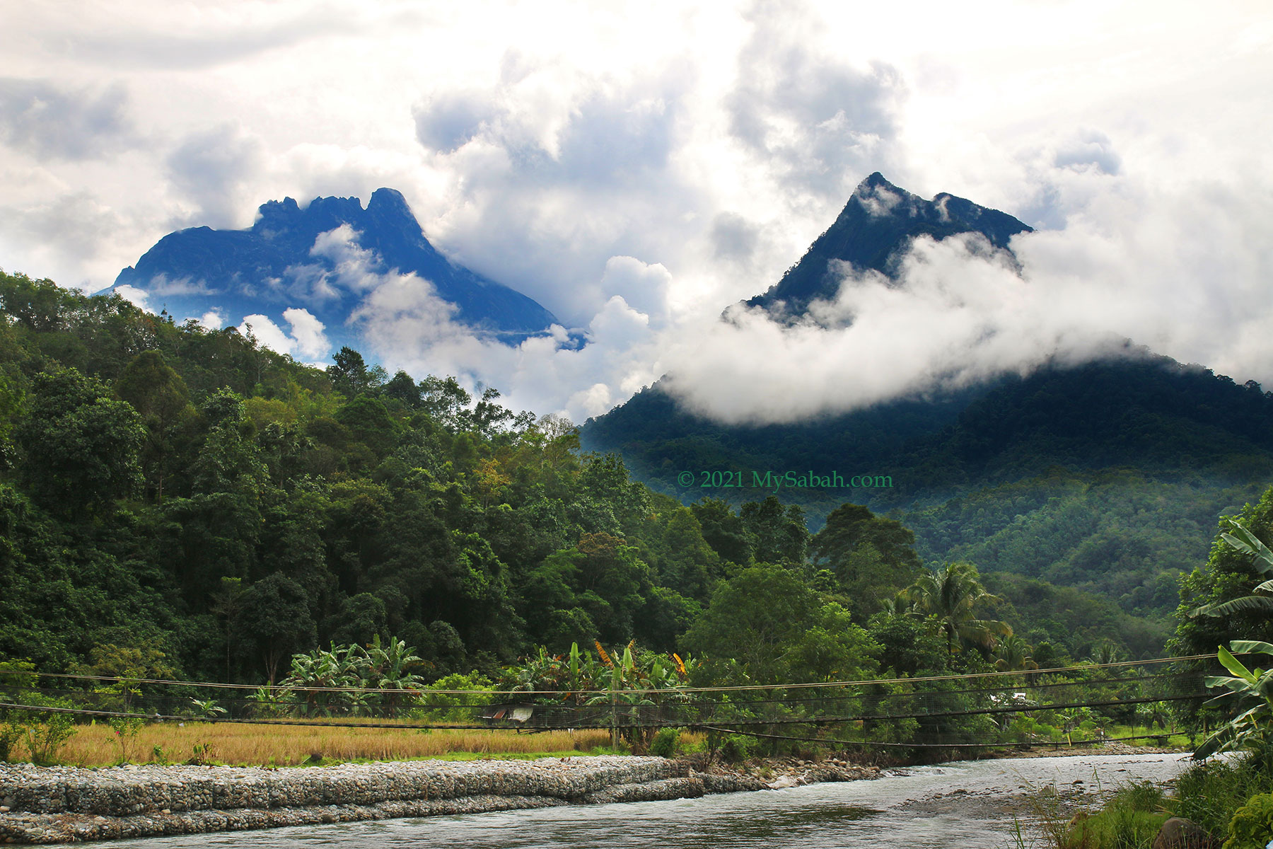
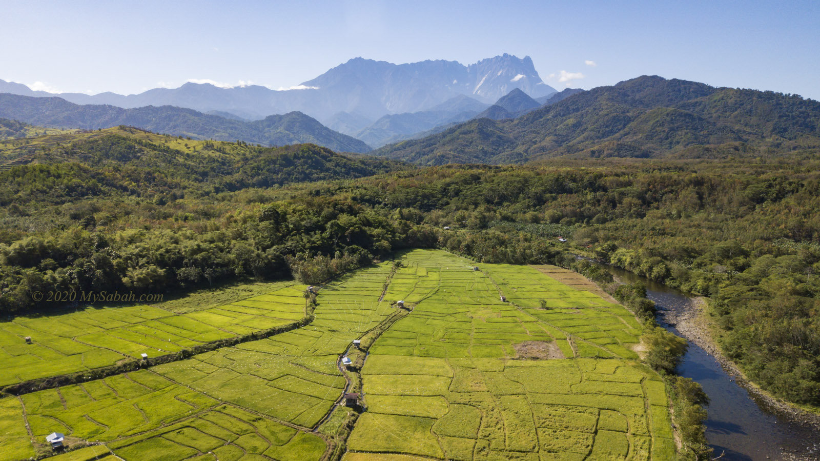
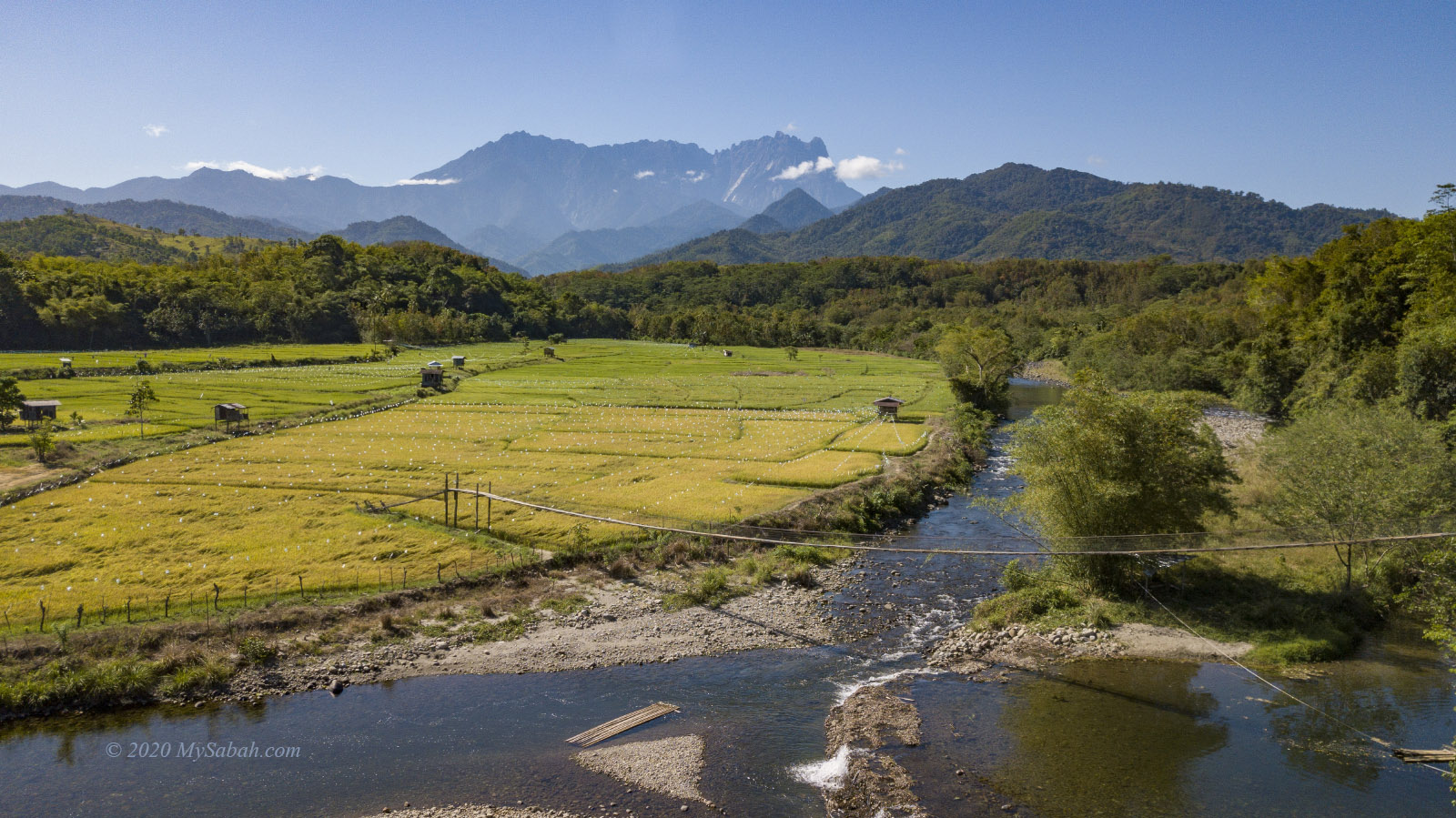
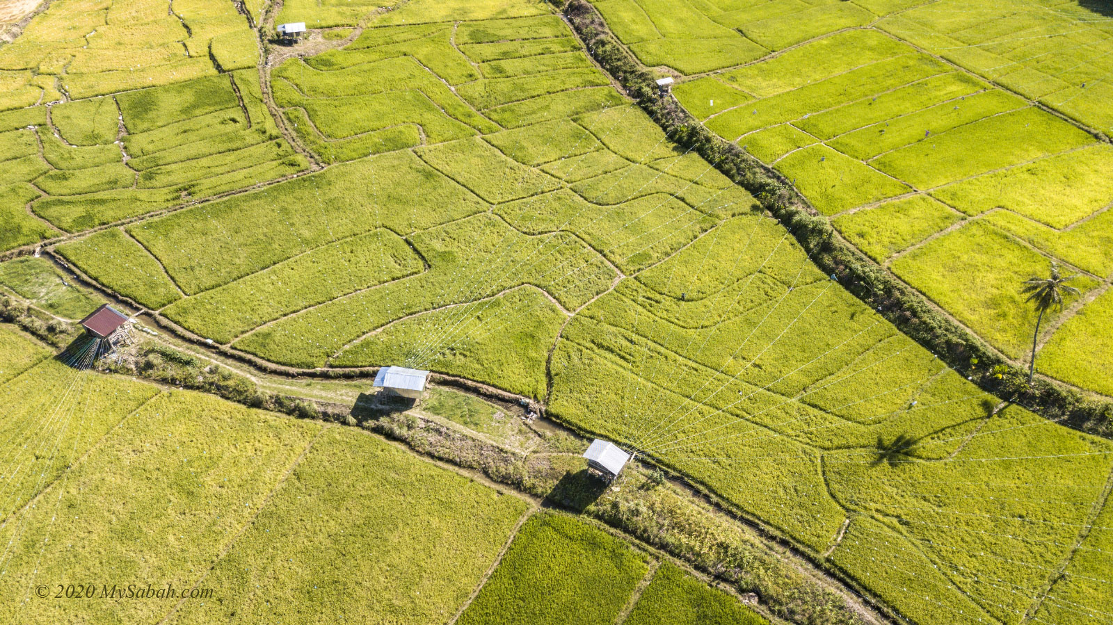
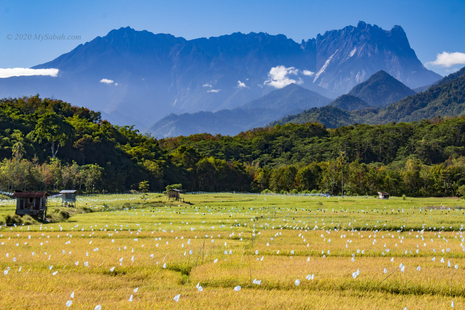
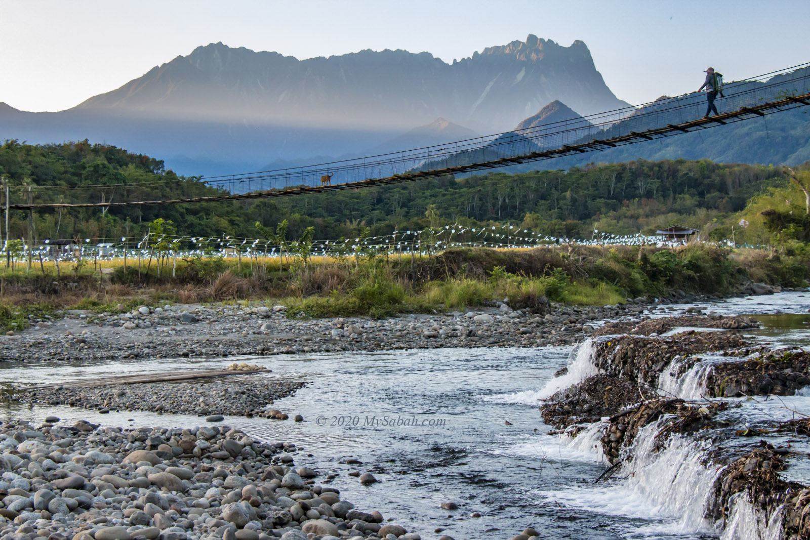
A multi-tiered waterfall with clean, oxygen-rich water flowing from the cool and misty rainforests of Borneo. The water eventually flows into the Kedamaian River, one of the largest rivers in northern Sabah, which irrigates the Kota Belud District, the rice bowl of Sabah.
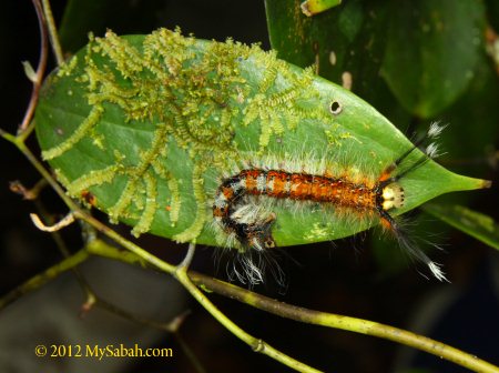
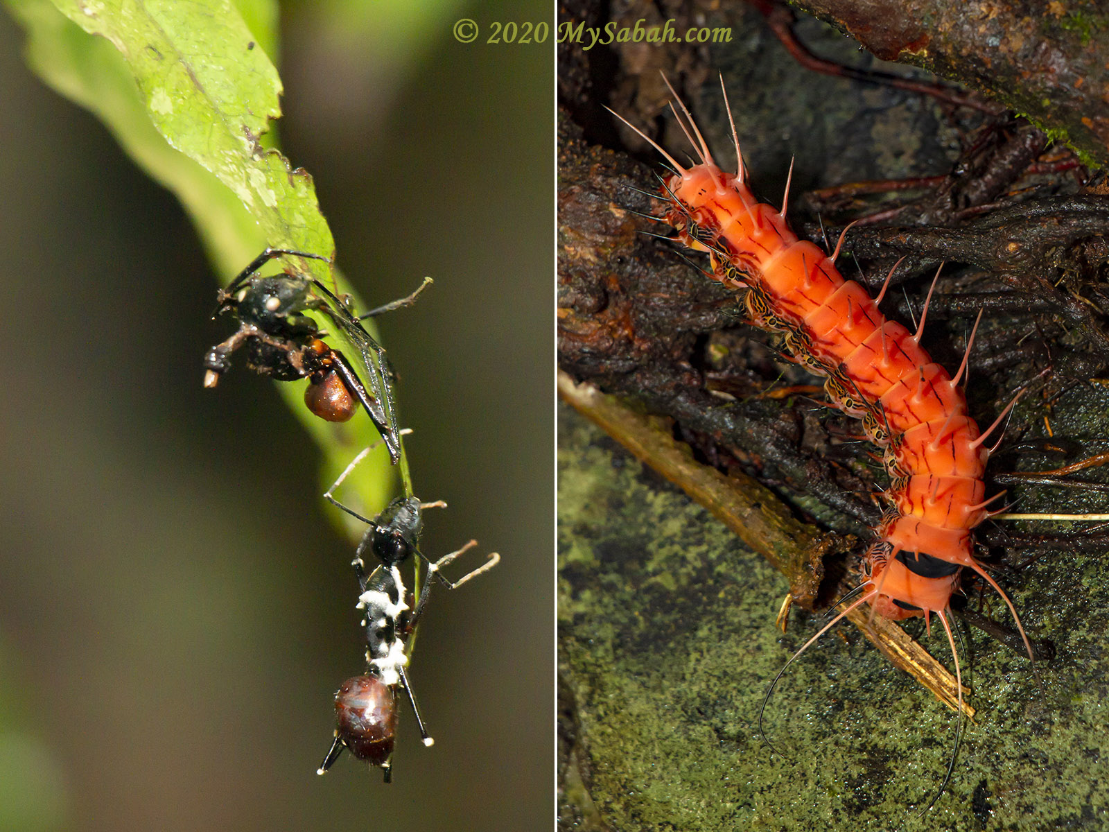
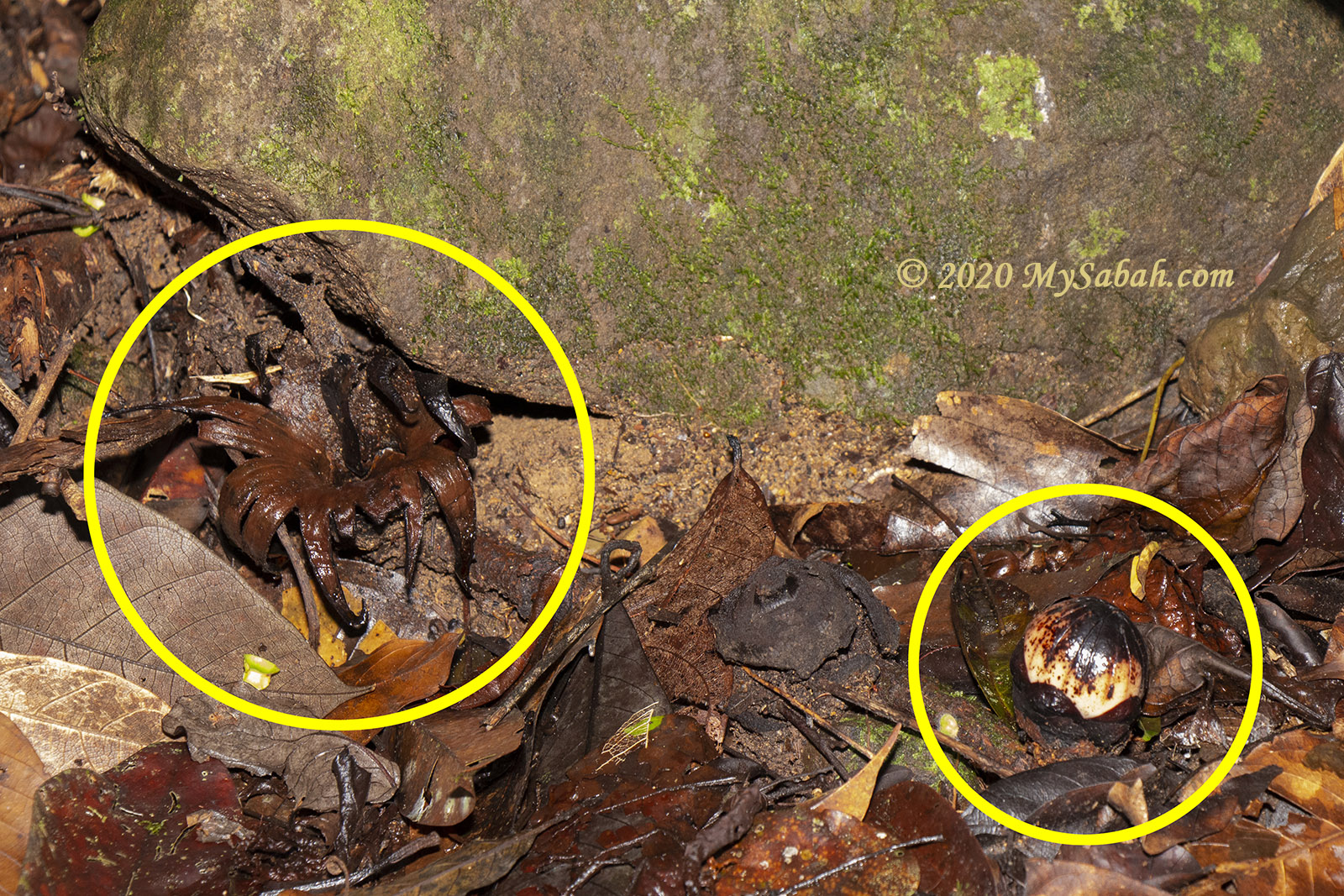
3. Night Walk & Herping
Are you thrilled by amphibians, reptiles, special insects, and nocturnal wildlife? Take a night walk here. Wildlife and macro photographers will be rewarded with close-up shots of critters such as the Sabah pit-viper (Trimeresurus sabahi), Bornean horned frog, stick insect, and slow loris.
4. Birdwatching
A brief study of the bird population at Sayap showed that the bird density is similar to that of Taman Negara National Parks. Some trophy species for bird photographers and birdwatchers include Whitehead’s broadbill, Whitehead’s trogon, long-tailed broadbill, crimson-headed partridge, red-breasted partridge (Bornean hill-partridge), golden-naped barbet, mountain wren-babbler, and bushy-crested hornbill.
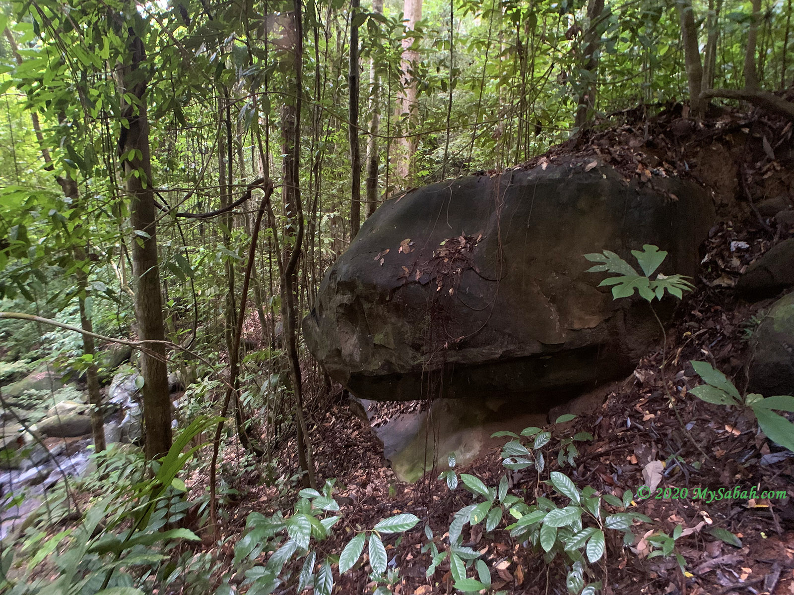
5. Malay Cave (Gua Melayu)
Melayu Cave is made of a large granite block resting on several smaller boulders. The loose earth material under the boulder has been eroded away through physical or biological processes. Contrary to what the name suggests, Gua Melayu has no connection to Malay people. The correct name is Melieu, after a local who once used the cave.
6. Climbing Mount Sayap (Coming Soon)
Mount Sayap or Mount Guwow (Height: 3,058 m), the second highest mountain in Malaysia (unofficially), will be open for climbing in 2026. The summit trail is about 10.2 km one way and requires a 3-day, 2-night trek to conquer.
7. Aura Montoria
Aura Montoria is about 9 km away from the substation. Avid hikers can explore the beautiful hilly trail in Kampung Sayap nearby.
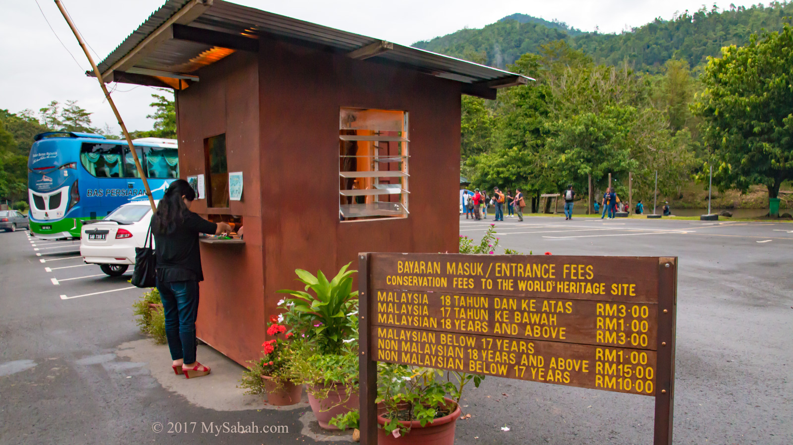
Fees
Note: Hiring a mountain guide and paying for a climb permit and insurance are mandatory for climbing Mount Minodtuhan. Please contact Sabah Parks to register for the climb. Alternatively, you can book a tour with licensed travel agents, which provide services such as transport, meals, camping tents, guides, and registration. Of course, the cost will be higher. For updated rates, please check out the official website of Sabah Parks.
| Malaysian | International | |
| Conservation Fee | 18 years and above: RM10/person 13 to 17 years: RM5/person 12 years and below, 60 and above, or handicapped: Free | 18 years and above: RM50/person 17 and below: RM25/person |
| Camping Fee | 18 years and above: RM10/person Below 18, 60 years and above, or handicapped: Free | 18 years and above: RM20/person Below 18: RM10/person |
| Guide | RM150 per guide (can guide 1 to 5 climbers) | |
| Climb Permit | Adult: RM30/person Below 18: RM12/person | Adult: RM100/person Below 18: RM40/person |
| Insurance | RM10 per person | |
| Porter (optional) | RM9 per kg | |
How to Get There
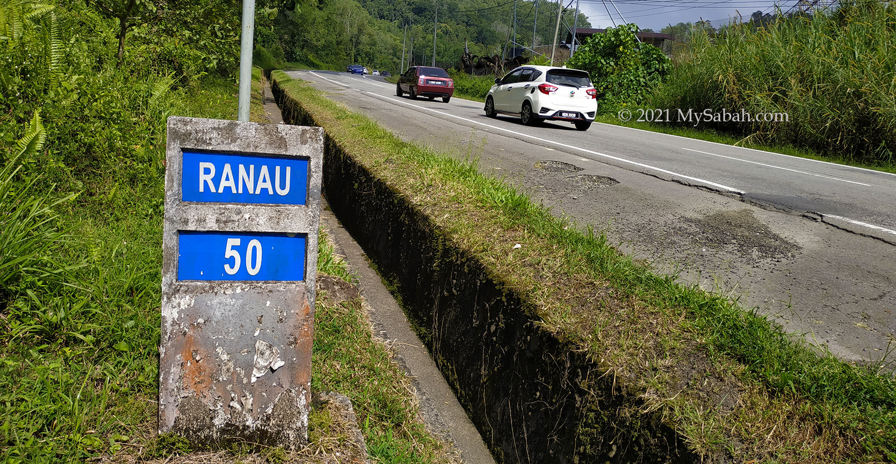
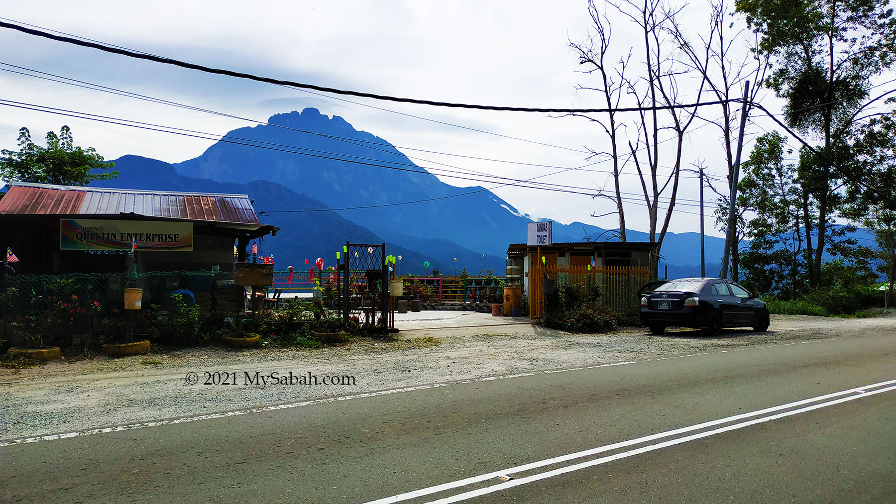
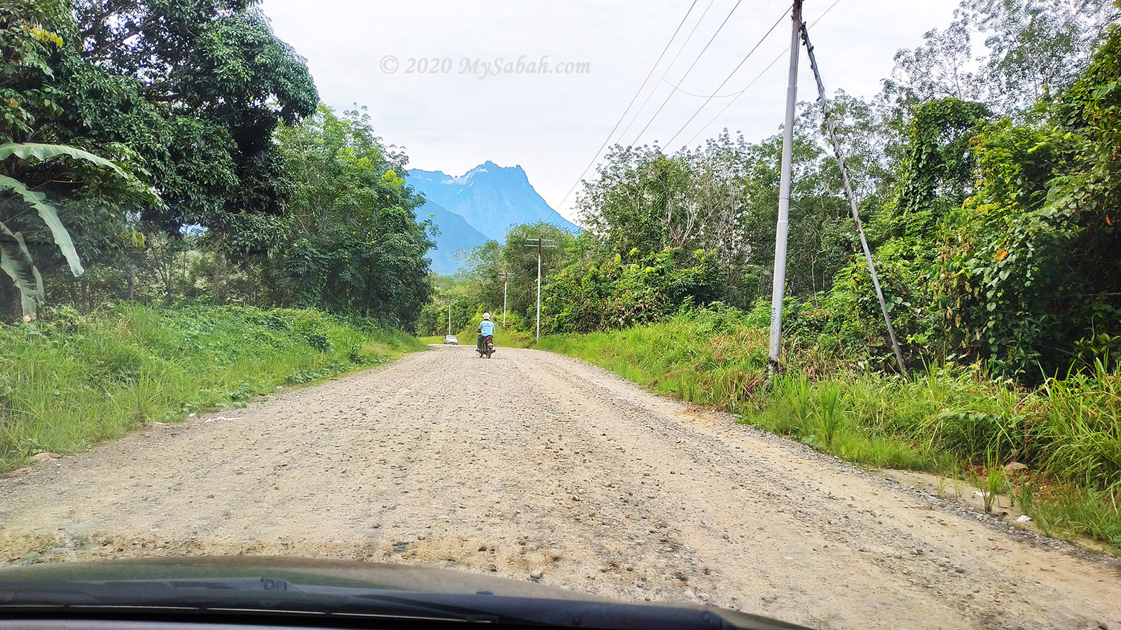
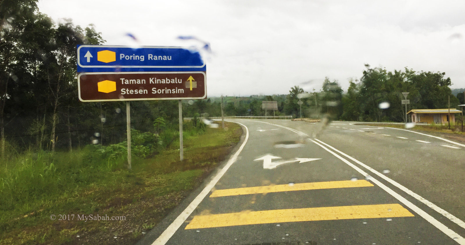
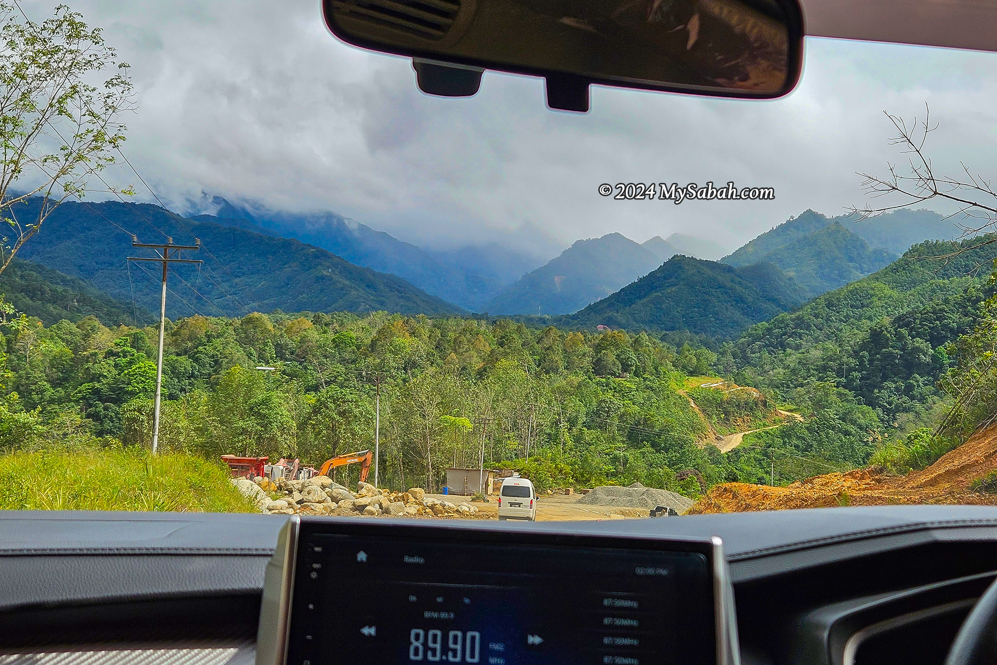
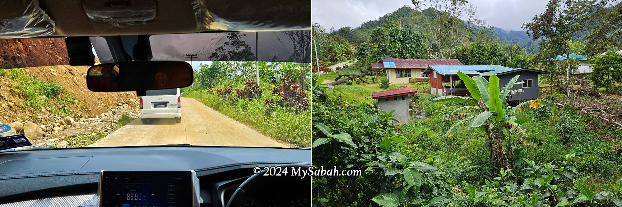
The road trip from Kota Kinabalu City (KK) to Sayap Substation is about 100 km and takes approximately 3 hours by car. The 68-kilometre drive to Kota Belud town is along a well-paved road, but the last 20 km to Sayap Substation consists mainly of a mix of asphalt, gravel, and concrete roads. Particularly the final 6 km to the substation, which is quite rough and muddy, may require a 4-wheel drive vehicle. There are plans to pave the damaged roads with asphalt, but it will likely take several years.
Itinerary
The following is a sample itinerary that might be useful for your planning:
DAY 1
10:00 AM: Depart from Kota Kinabalu City
12:30 PM: Lunch in Kota Belud town
3:30 PM: Arrive at Sayap Substation
6:30 PM: Dinner
DAY 2
3:00 AM: Breakfast
3:30 AM: Start the climb
8:00 AM: Expected to reach the peak of Mount Minodtuhan
10:00 AM: Descend to the starting point
2:30 PM: Expected to arrive at Sayap Substation
3:30 PM: Depart for Kota Kinabalu
Things to Bring
The list below is for your reference only. You don’t need to bring everything:
- Identification Card / MyKad / Passport
- Mobile phone
- Cash
- Hiking shoes
- Poncho / Raincoat
- Water bottle / Hydra pack
- Windbreaker / Jacket
- Gloves
- Hiking stick
- Flashlight or LED headlamp
- Energy bar
- Anti-Leech Socks
- Clothing for 2 days
- Towel
- Slippers / Flip-Flops
- Personal toiletries (e.g. soap, shampoo, toothbrush, toilet paper, face wash)
- Personal medication
- Plastic bags (for soiled clothing / garbage)
- Camping tent
- Sleeping bag
- Floor mat and pillow
- Portable cooking stove and utensils
- Food supply and drinking water (for 2 days)
- Lunch box, spoon & fork, cup
- Small backpack for climbing
- Camera
- Portable power bank
- Charging cables for phone and batteries
- Optional: swimwear, Bluetooth speakers, electric kettle, thermos or vacuum flask, 3-in-1 tea/coffee bags
Tips
- Bring at least 800 ml of drinking water for the climb
- Bring a packed lunch to the peak, in case you’re stuck for longer hours on the mountain
- A hiking stick will help reduce the strain on your legs
- Trim your toenails before the climb
- There are no toilets along the summit trail; however, one is currently under construction at the 4th kilometre.
- Turn back if you don’t think you can reach the peak before 11 AM
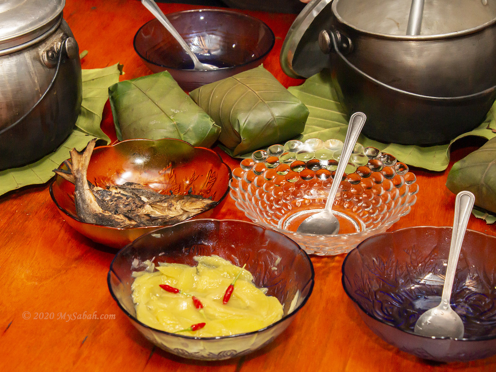
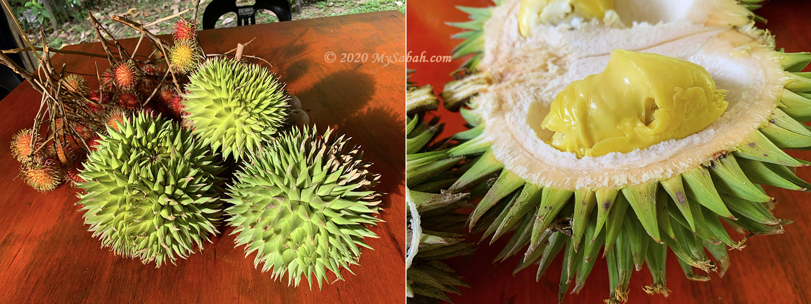
- Love durian? Visit during the fruiting season to enjoy cheap durian in the villages
Photos taken in Kota Belud, Sabah, Malaysia Borneo