Aura Montoria is touted as one of Sabah’s top hiking spots, and after experiencing it firsthand, I don’t think it’s overrated. Hiking here offers an incredible opportunity to immerse in Borneo’s diverse landscapes. Beyond a mere walk, it’s an exciting exploration of caves, rock formations, rivers, waterfalls, ponds, and lush rainforests—truly a collection of natural wonders waiting to be discovered.
About Aura Montoria
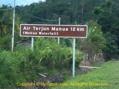
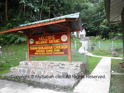
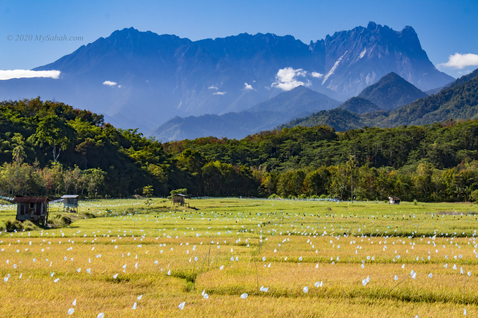
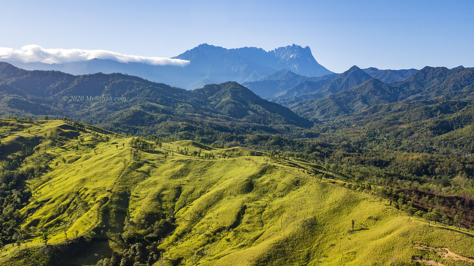
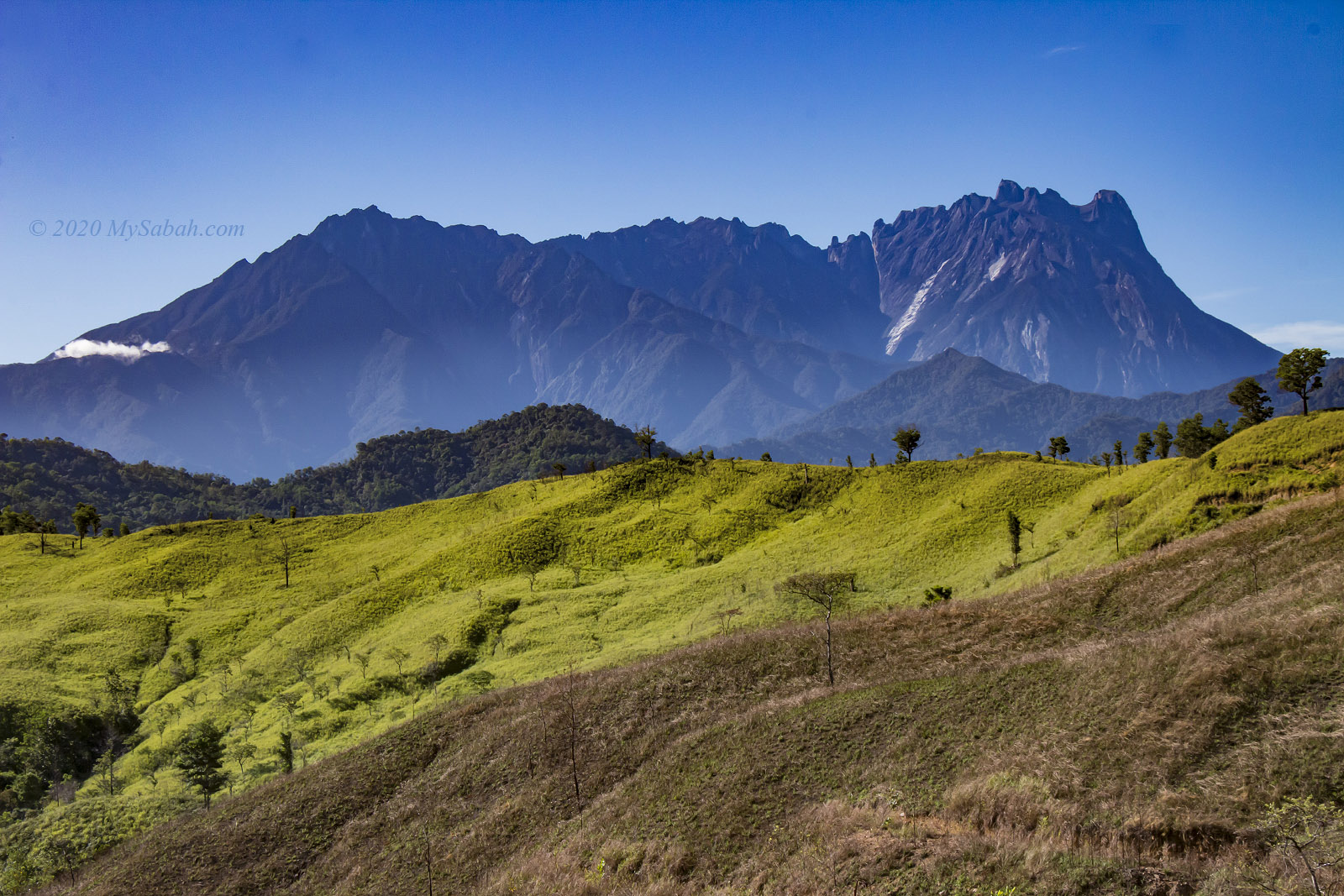
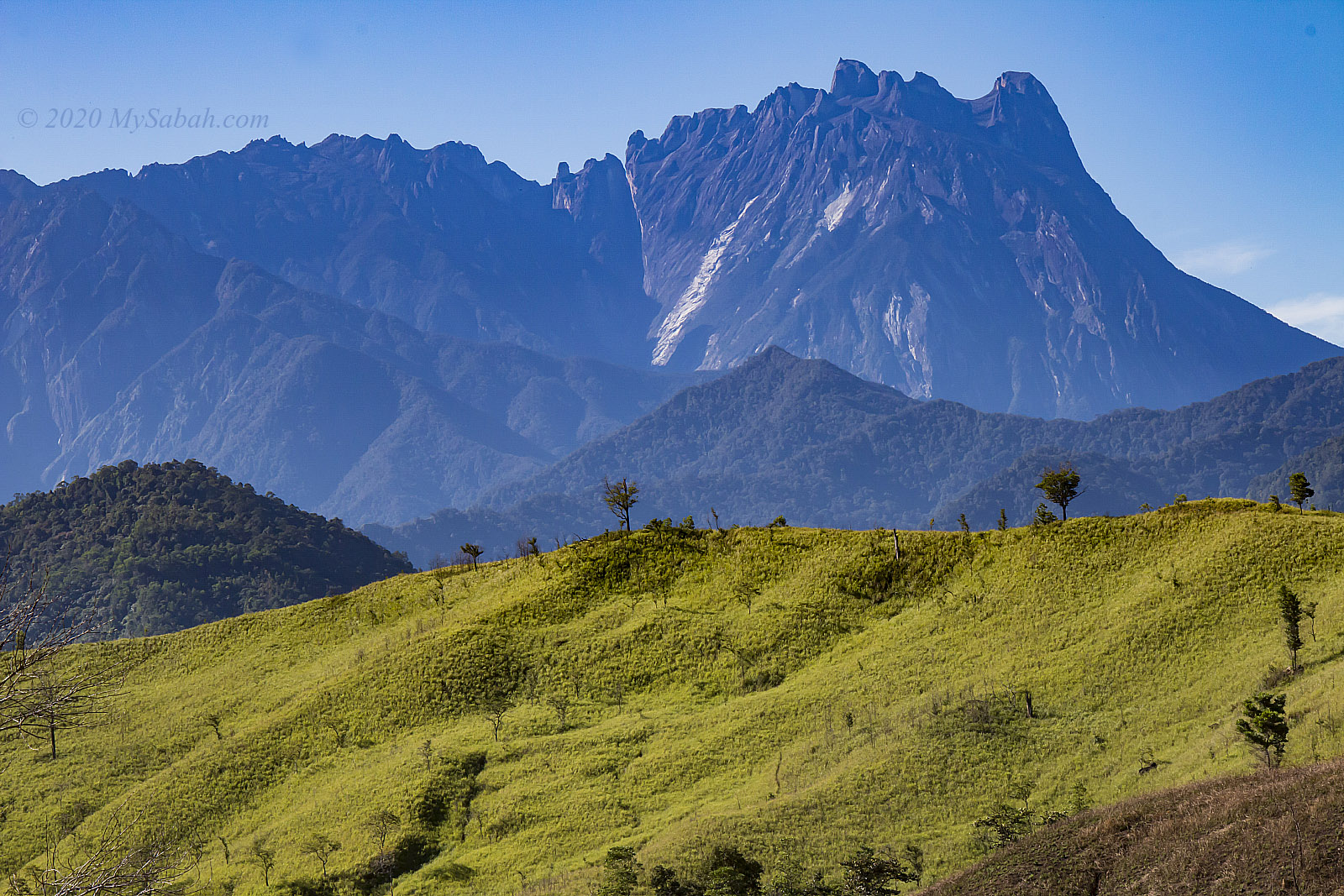
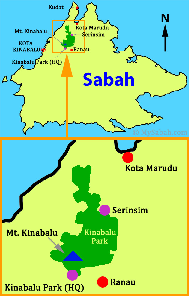
You might know about the Kinabalu Park HQ situated on Mount Kinabalu‘s southern side, easily reachable from Kundasang. However, tucked behind Malaysia’s highest peak lies Aura Montoria to the north, an enchanting hilly terrain located in Kampung Sayap (Kampung means Village) of Kota Belud, and part of the 4,750 km² Kinabalu UNESCO Global Geopark. It’s just a stone’s throw away from the Sayap Substation, snugly positioned on the west side of Kinabalu Park.
Aura Montoria owes its name to a winding tree vine known as Pokok Ponoriawon by the Dusun Tindal people. This vine, adorned with long thorns, grows along the riverbank, drawing a variety of birds during its flowering season. The locals named the area Montoria, a shortened version of Pokok Ponoriawon. Enchanted by its beauty, they added “Aura” to create Aura Montoria, capturing the site’s radiant charm.
A Geotourism Destination
Couples always promise to each other, “I will love you to the time of the seas run dry and the rocks crumble,” as if such changes are impossible. But Aura Montoria will prove them wrong. Here, among the rolling hills and rock fragments, you’ll find evidence of a time when this land lay beneath the sea, some 20 million years ago. The geological morphology of the Aura Montoria is mainly featured by sedimentary rocks from the Crocker Formation, formed in a deep-sea basin during the middle Oligocene to early Miocene period, roughly 28 to 23 million years ago.
Around 17 to 10 million years ago, a tectonic collision uplifted most parts of Sabah, including Aura Montoria. This followed by geological processes like folding and faulting, raising the sandstones and shales of Aura Montoria’s sedimentary layers to the surface. Over millions of years, erosion and compaction shaped these deposits, forming the striking ridges, valleys, and unique rock formations that grace Aura Montoria today.
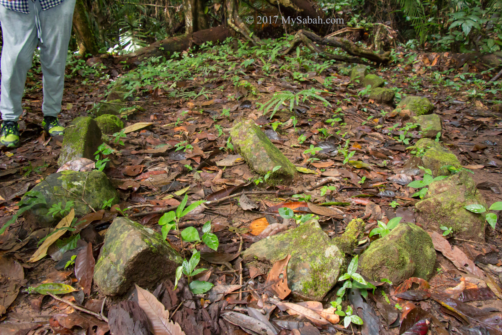
Granite boulders and rock walls dot this area, likely carried by glaciers from Mount Kinabalu to the foothills near Aura Montoria. Therefore, hikers will find fascination in the remnants of an ancient ocean floor and traces from the Pleistocene Ice Age, dating back millions of years.
Hiking (A Walk-Through)
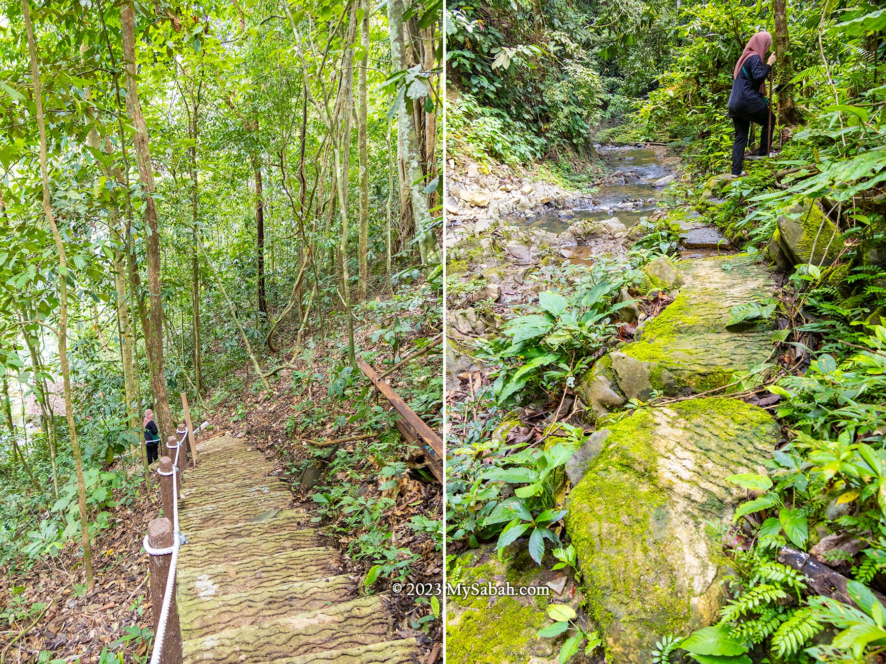
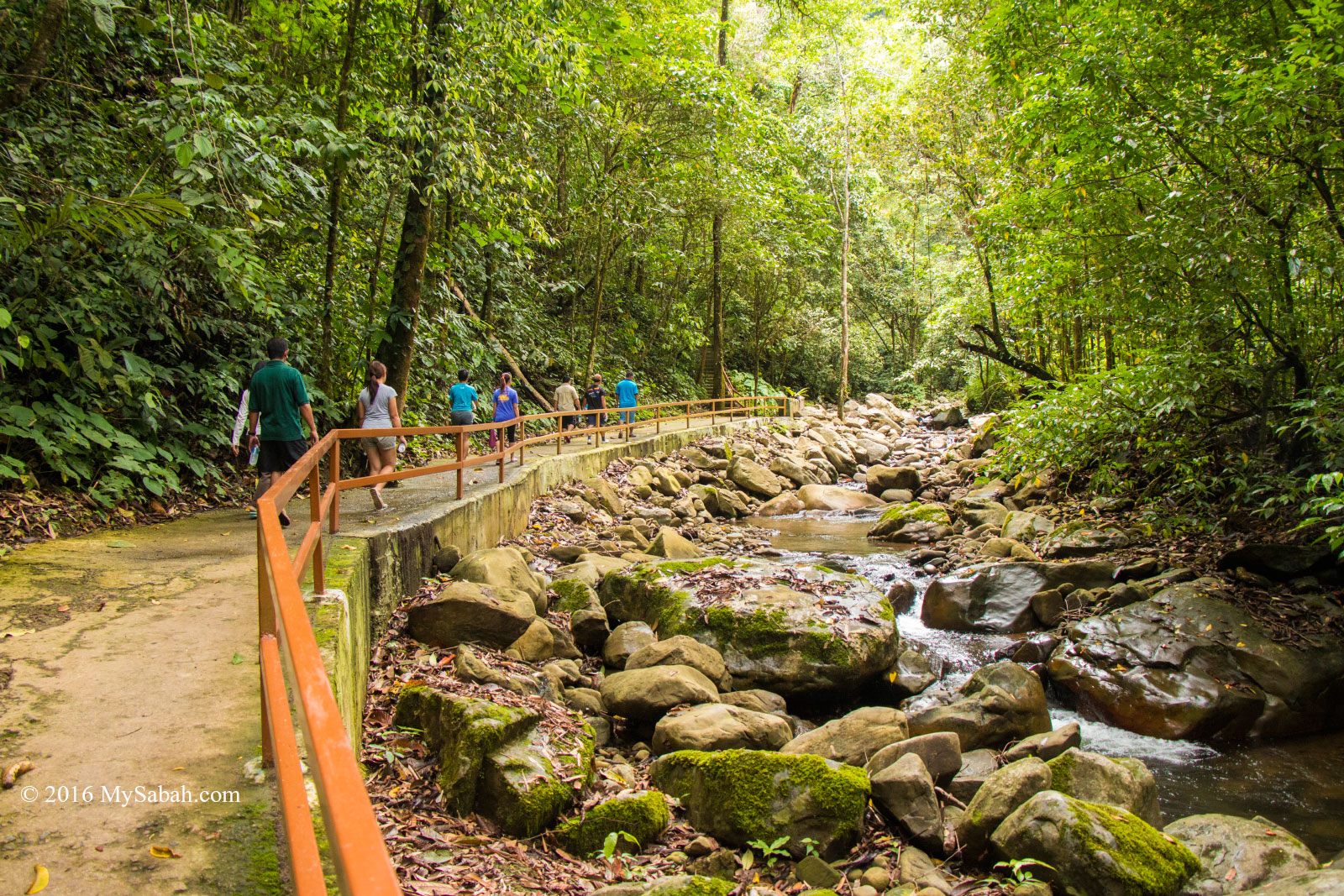
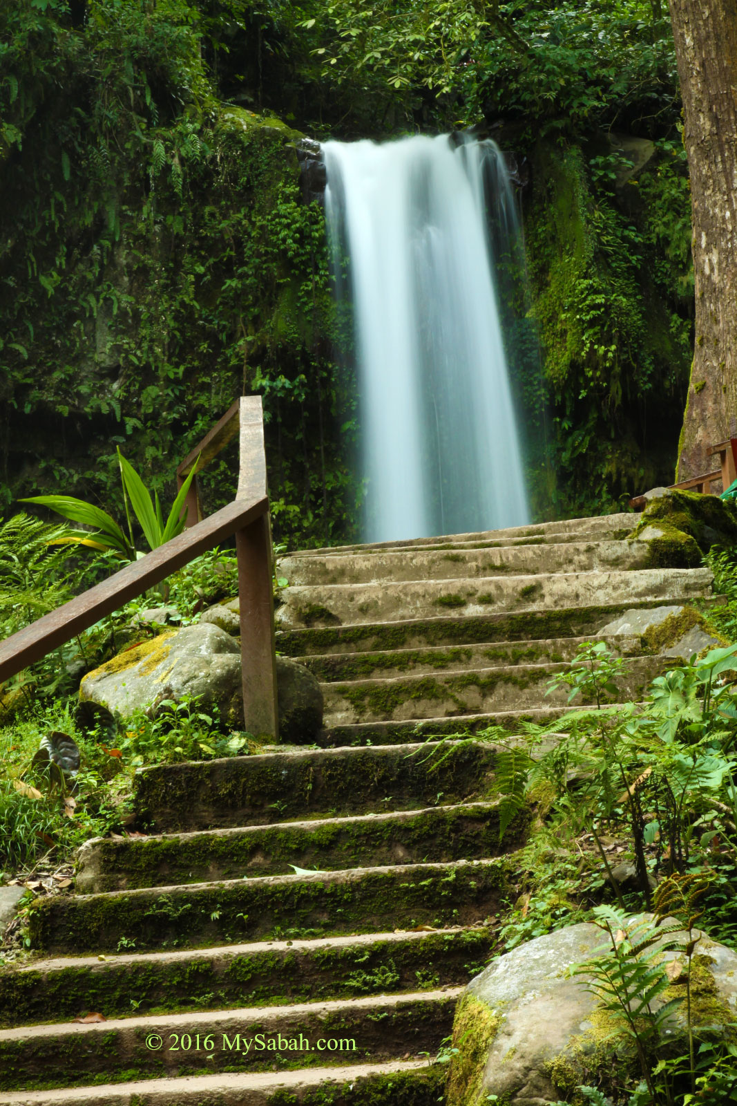
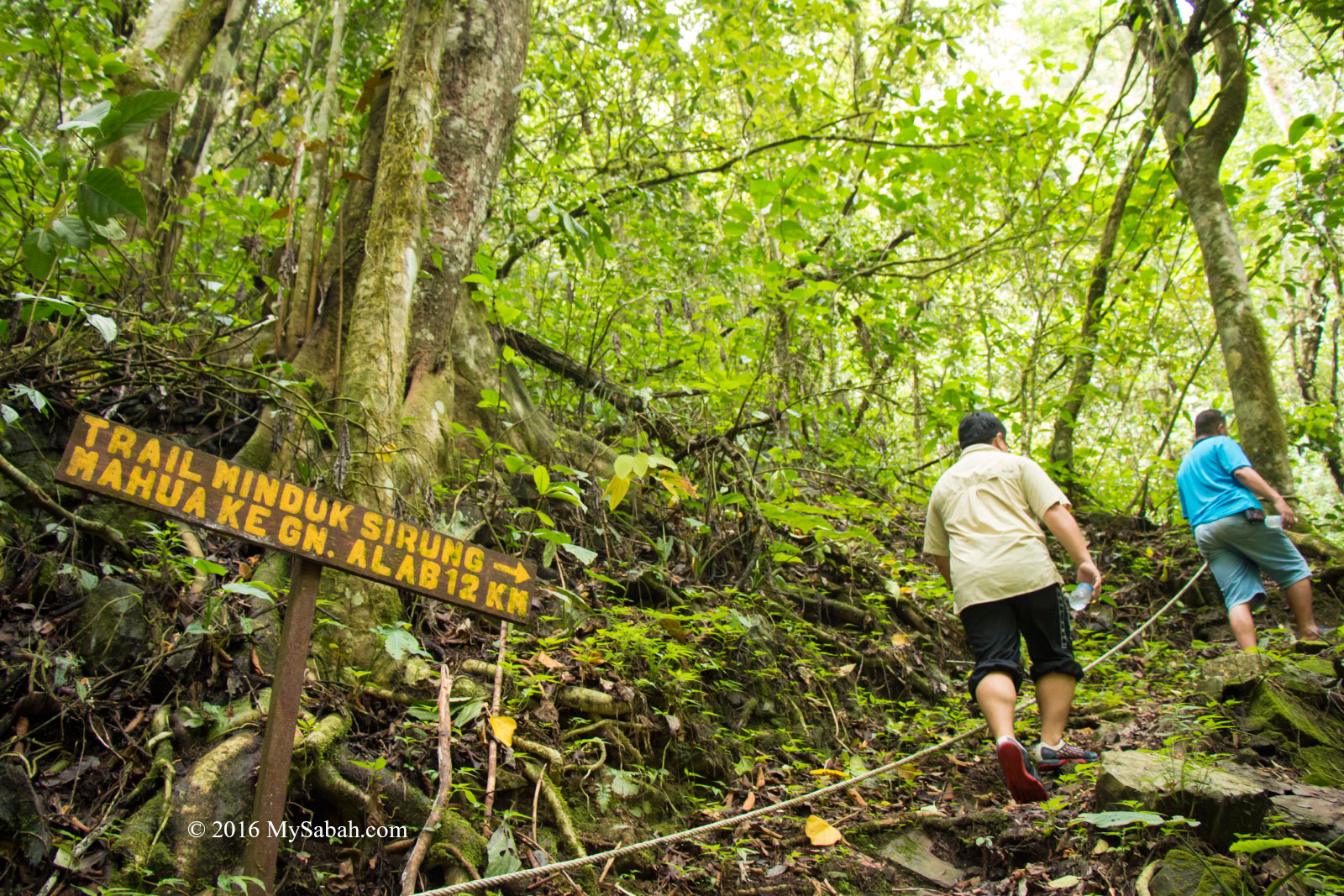
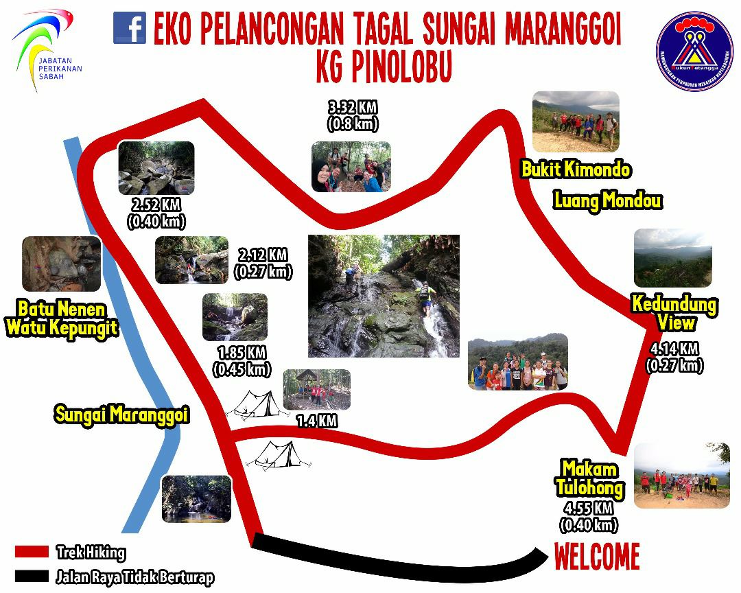
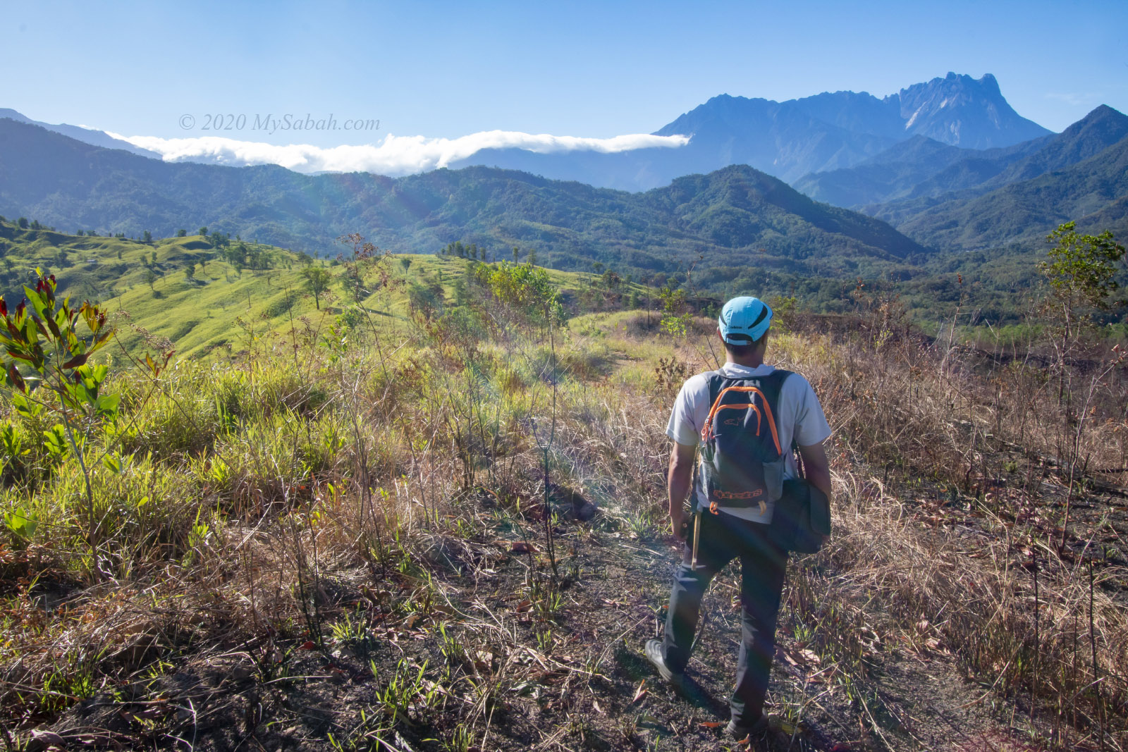
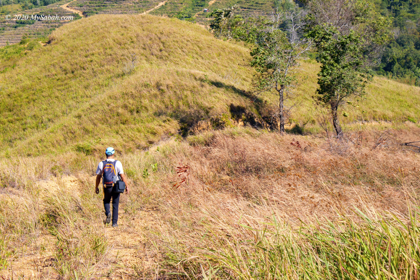
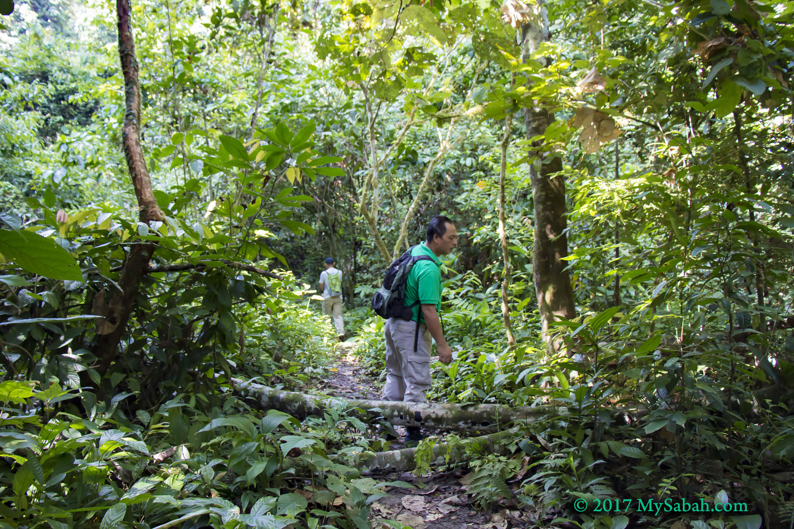
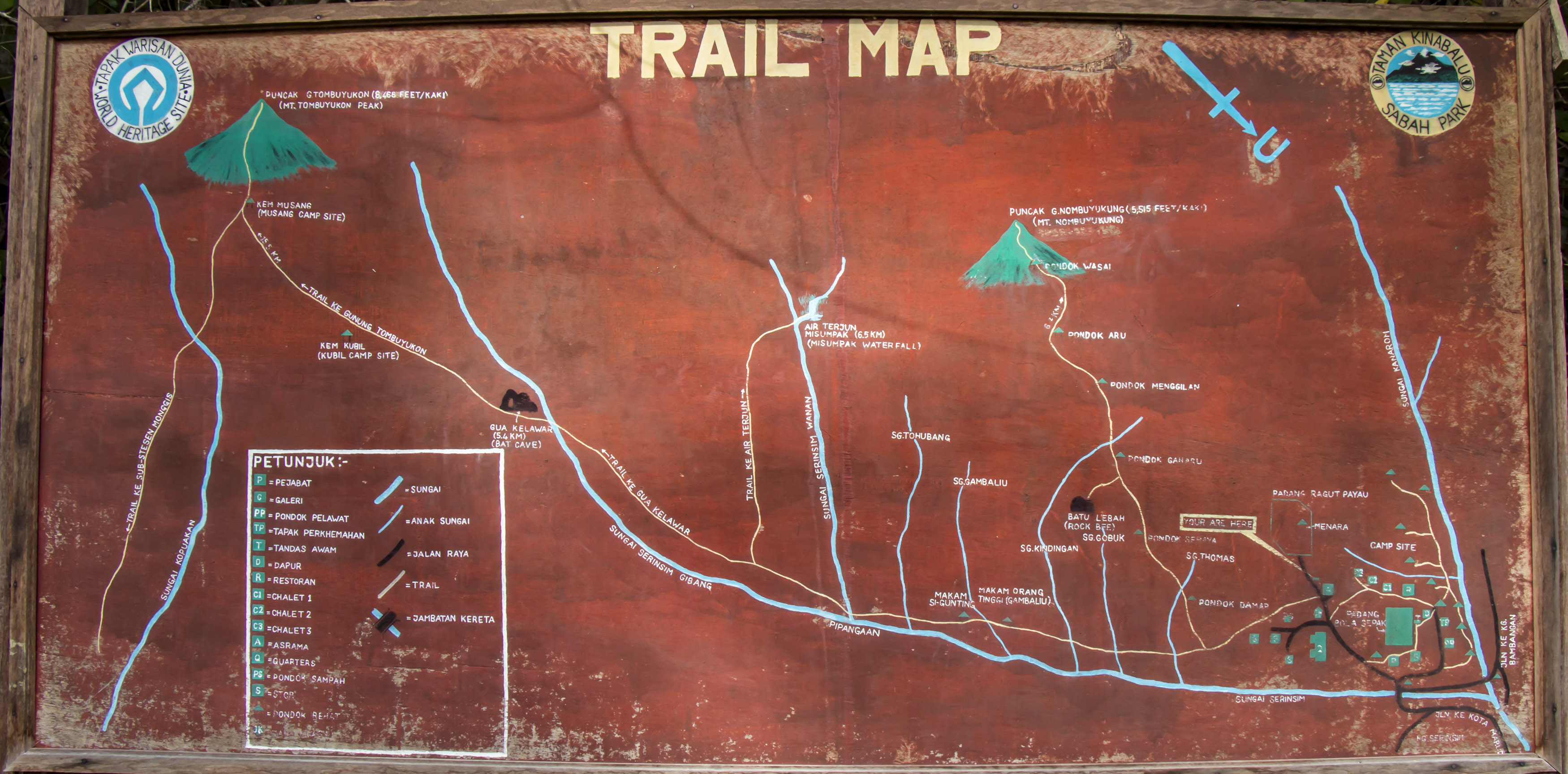
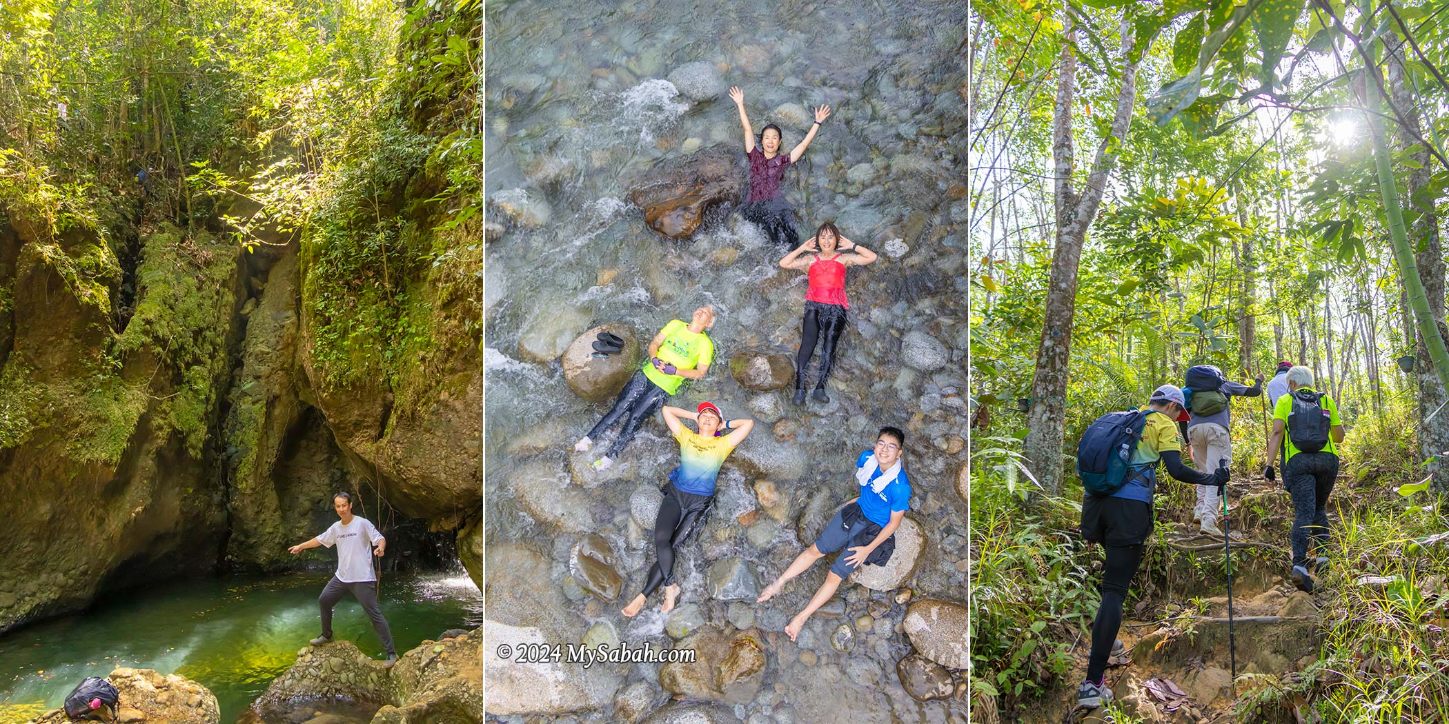
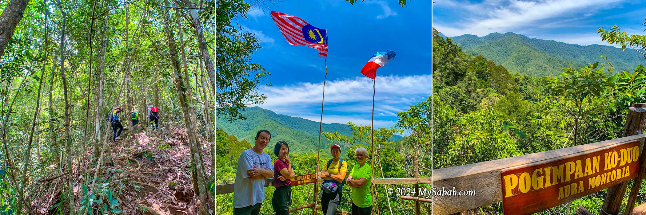
The hiking trail spans a 6-kilometer loop, winding through varied and uneven terrain where the flowing rivers and waterfalls shower you with negative ions, the forest fills your lungs with fresh air, and sunlight provides a serotonin boost. All these combine to energize you and uplift your mood. Given the prevalent depression among younger generations, it’s no surprise that hashtags like silent walking, soft hiking, and rucking are trending in the Gen Z community. Visit Aura Montoria, I would advise them.
The hike typically lasts around 6 hours at a leisurely pace. The trail poses a moderate challenge to beginners, involving some scrambling and balancing over rocks and roots along slopes situated between 200 to 400 meters above sea level. While leeches aren’t commonly encountered, parts of the trail can be slippery, making sturdy hiking shoes crucial. Carrying mosquito repellent is essential for a more comfortable hike.
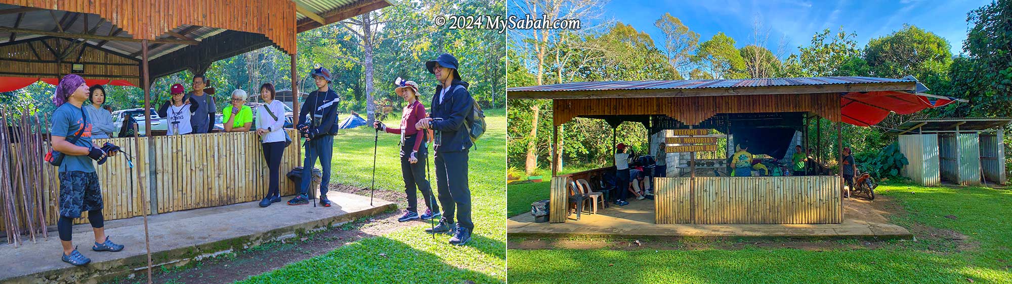
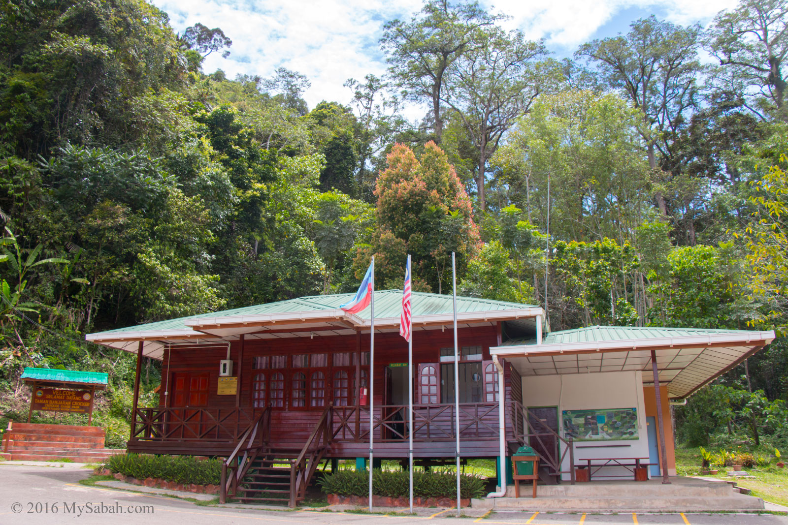
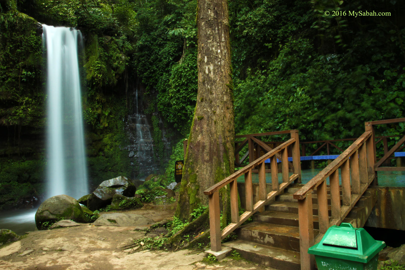
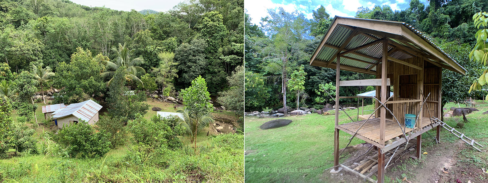
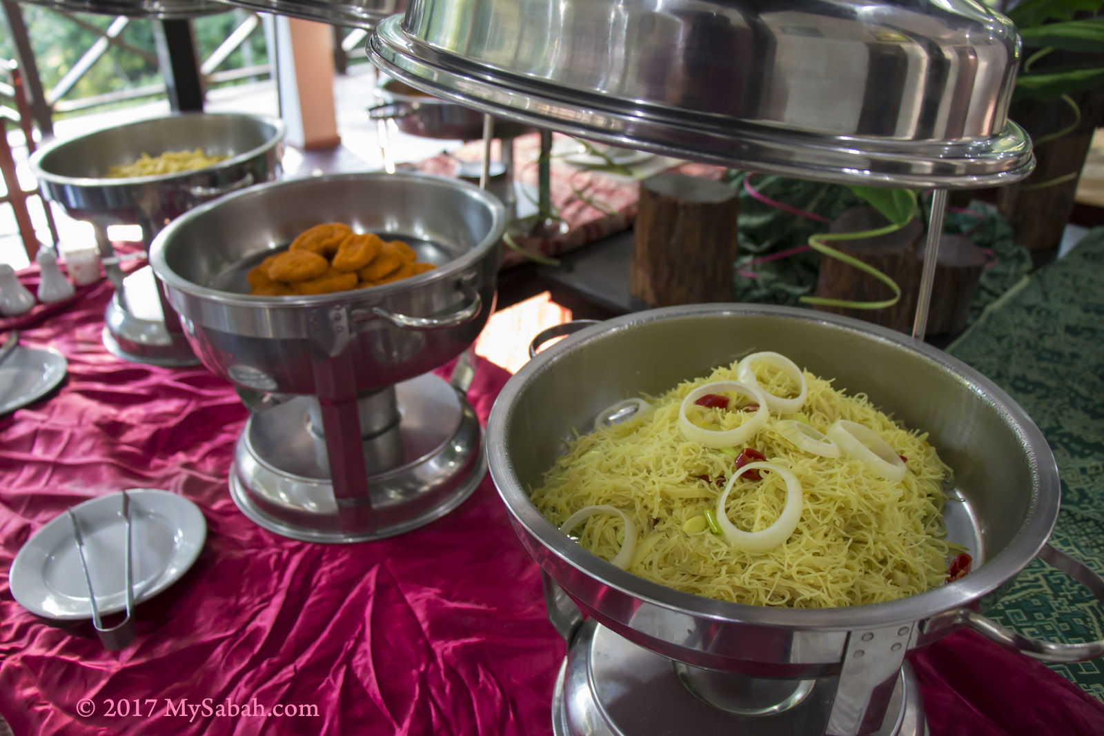
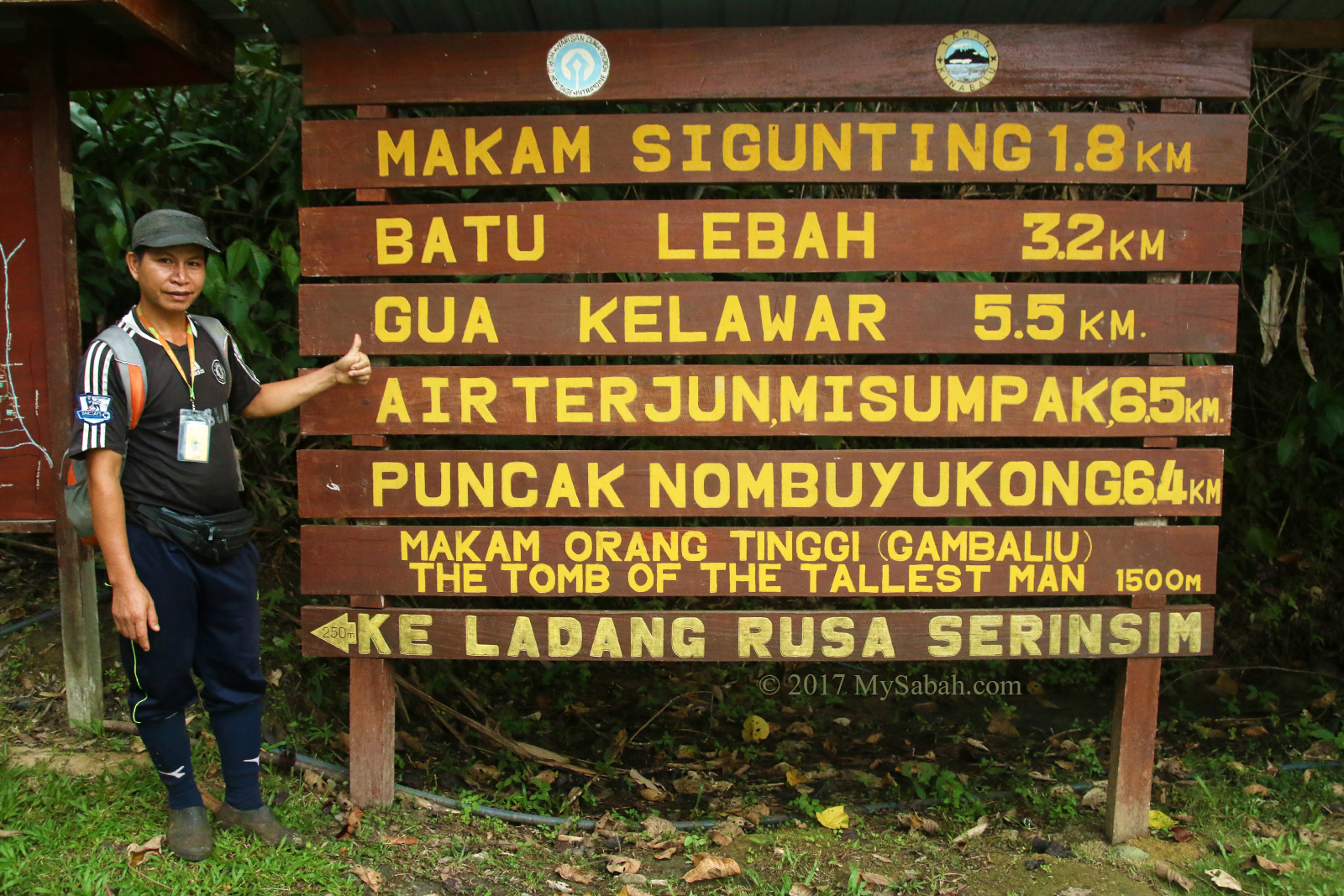
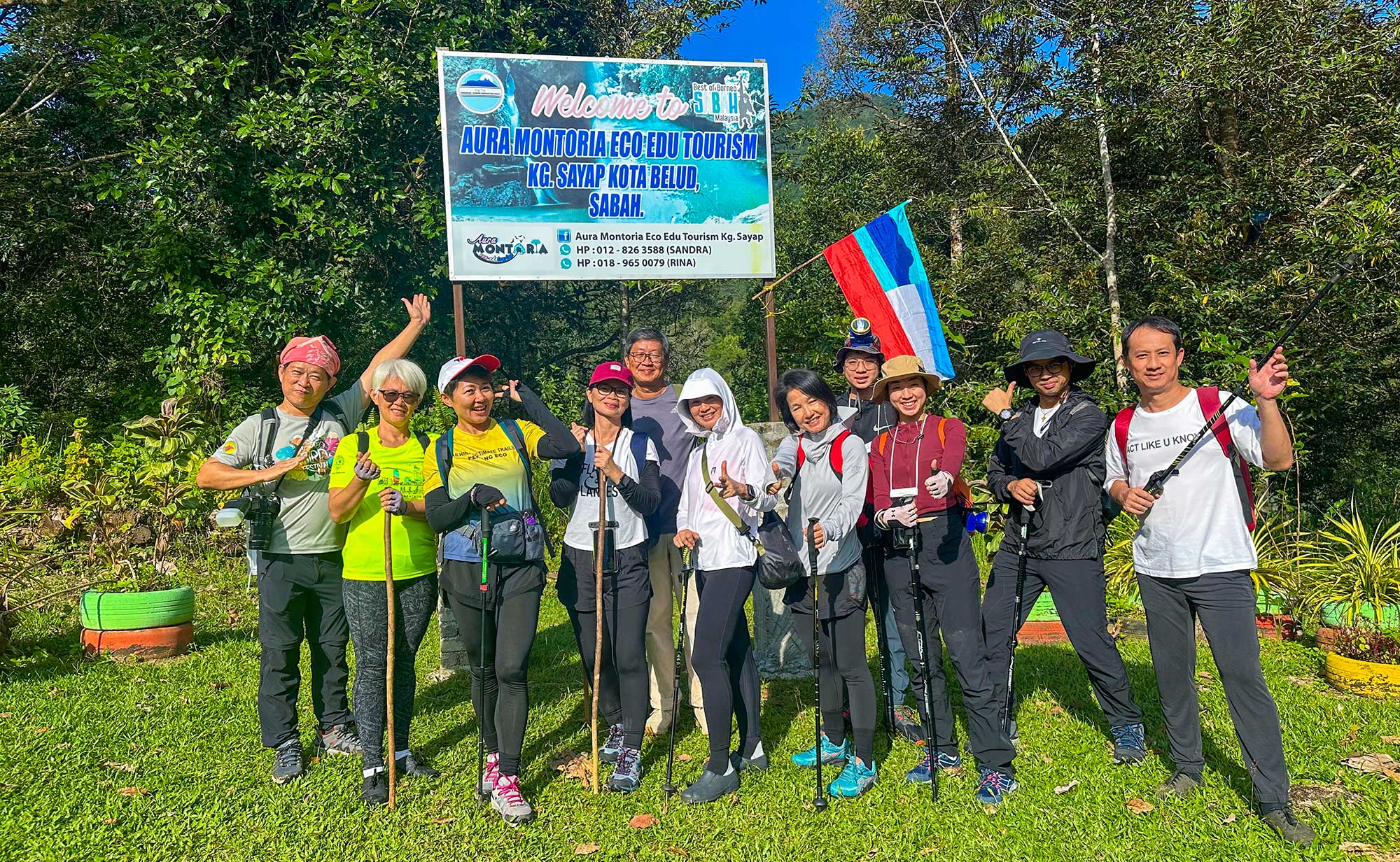
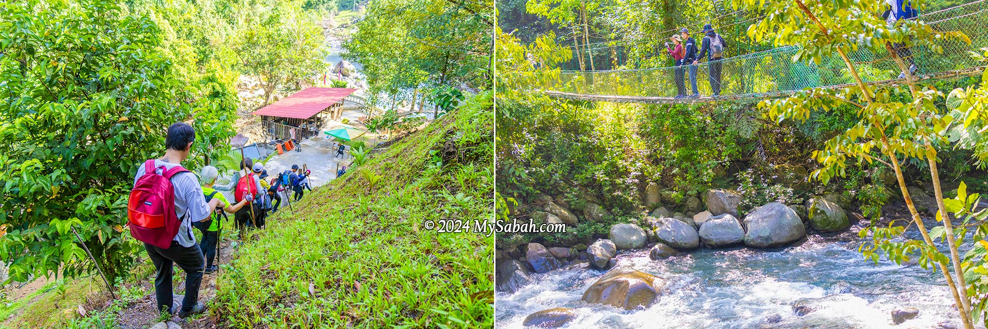
We met our guides (Kunan and Kiwi) at the registration hut inside a village plantation, for a short briefing before our hike began at 8:30 am (finishing around 2:30 pm). The first part of the trail is a pleasant one-kilometre walk through the countryside. In just 15 minutes, we passed through rubber and pineapple plantations and made our way downhill to a resting hut by the river, which is where the loop trail starts and ends.
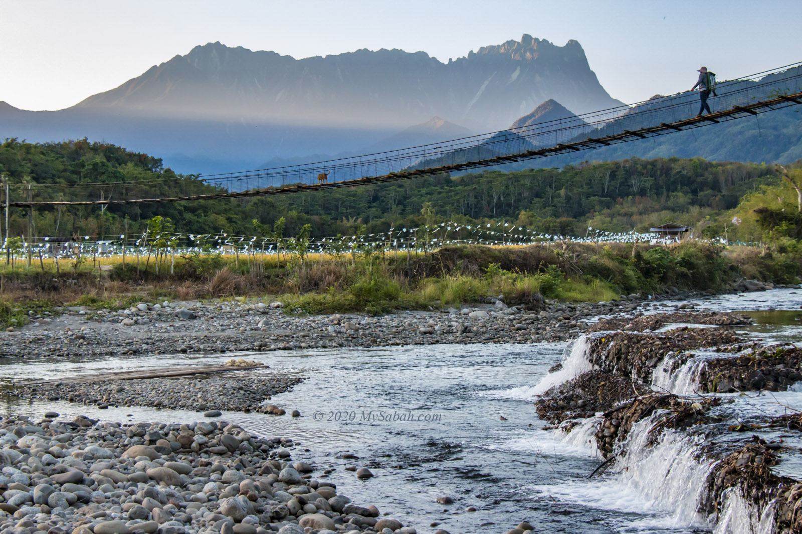
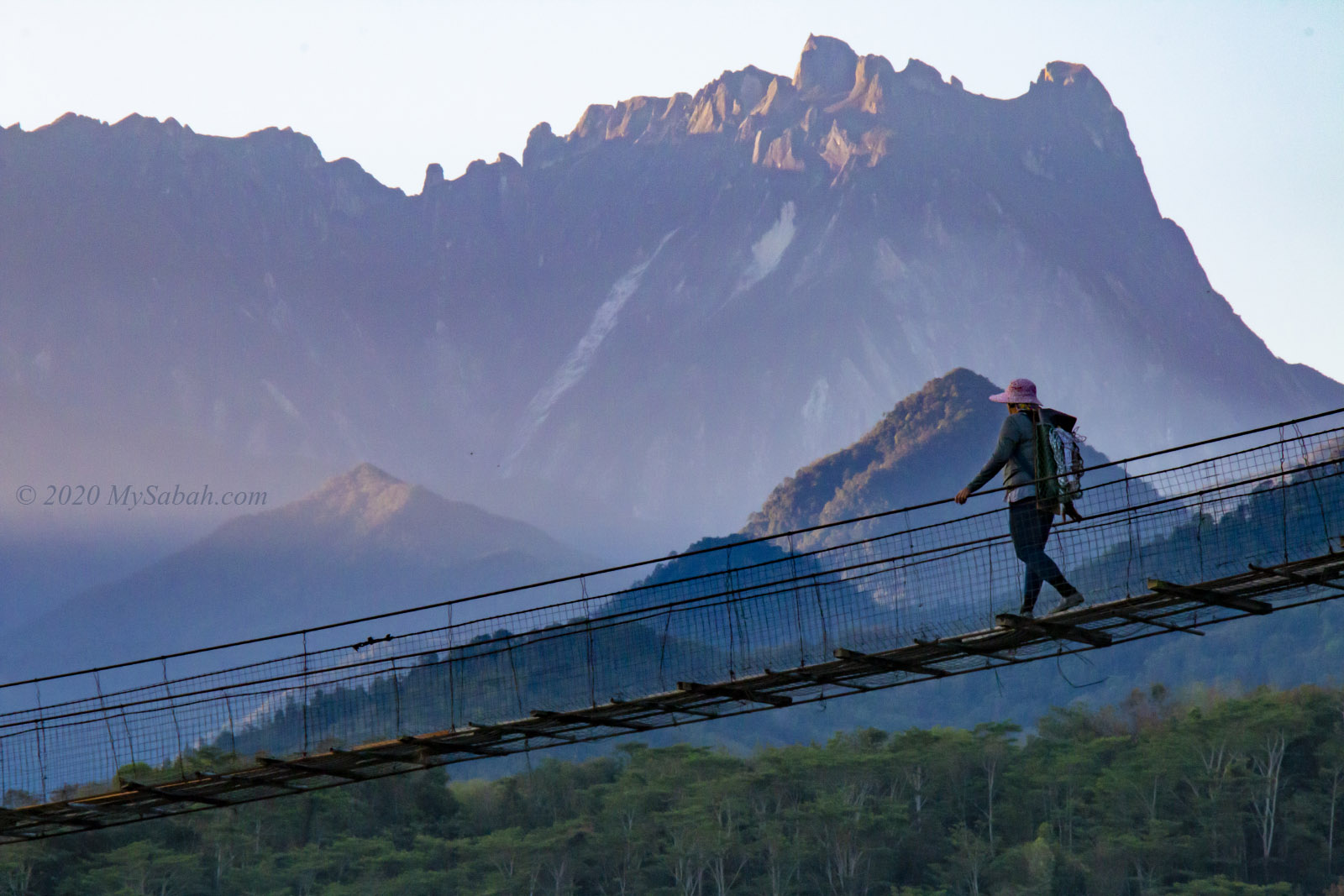
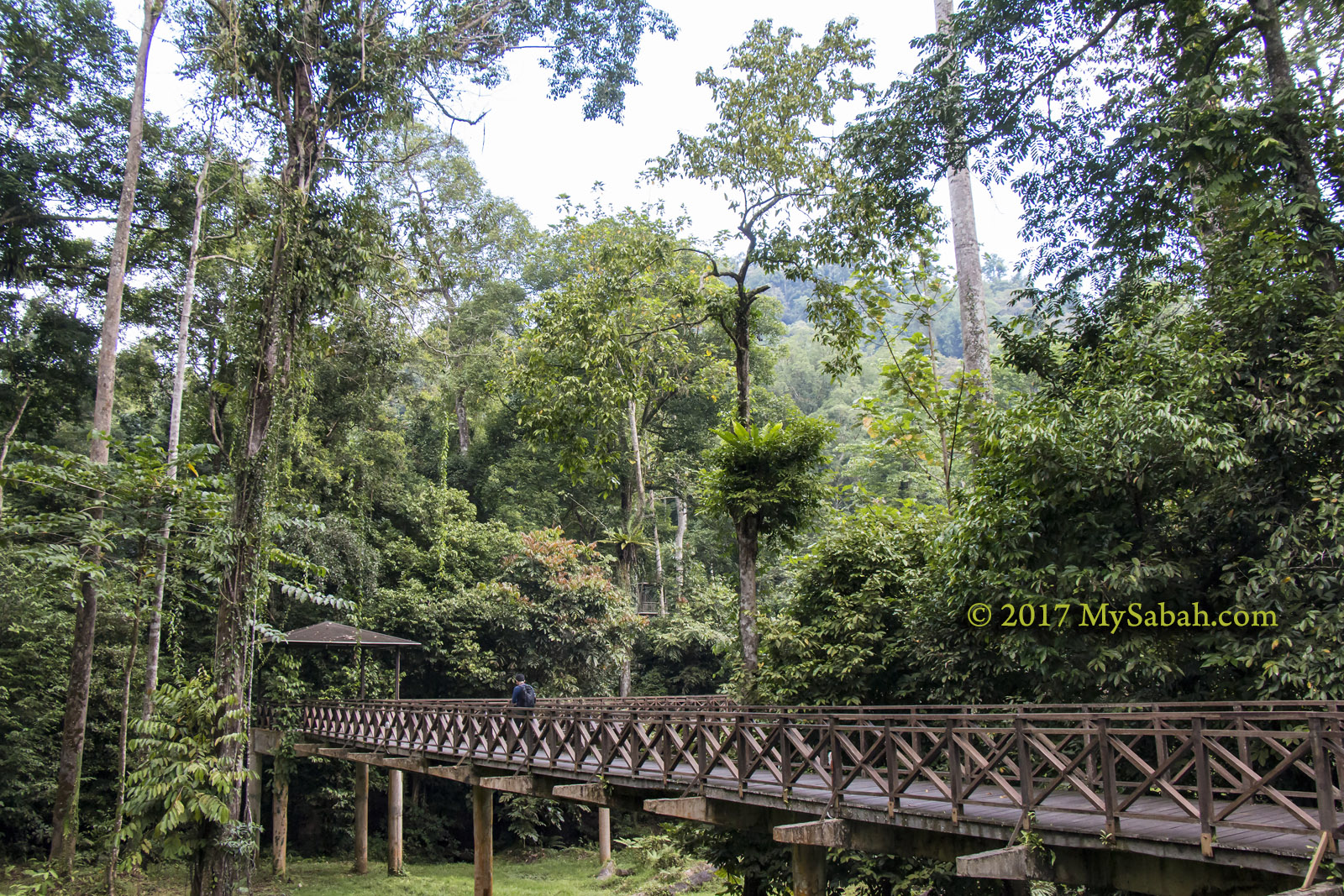
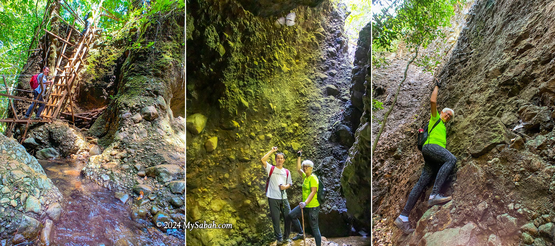
Hanging Bridge
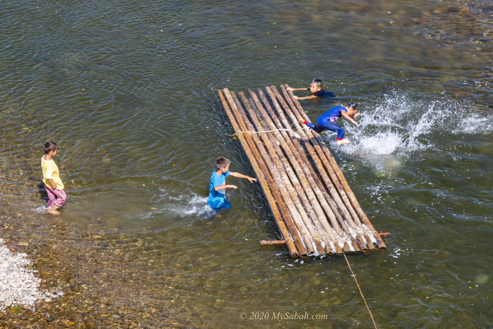
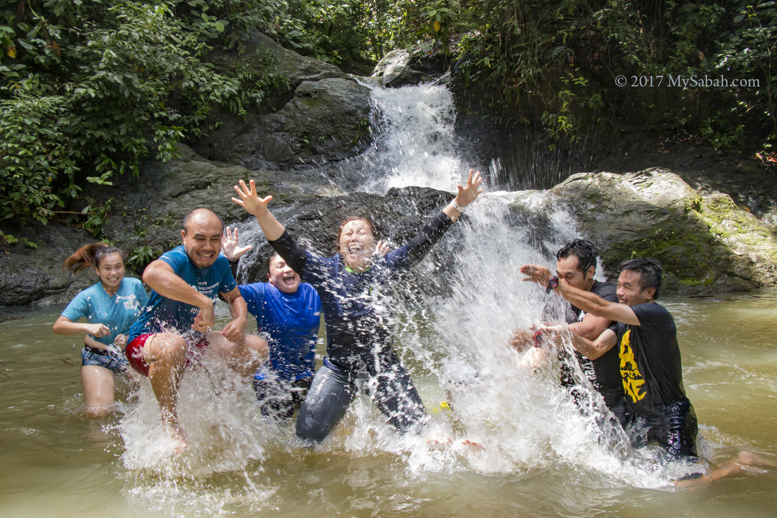
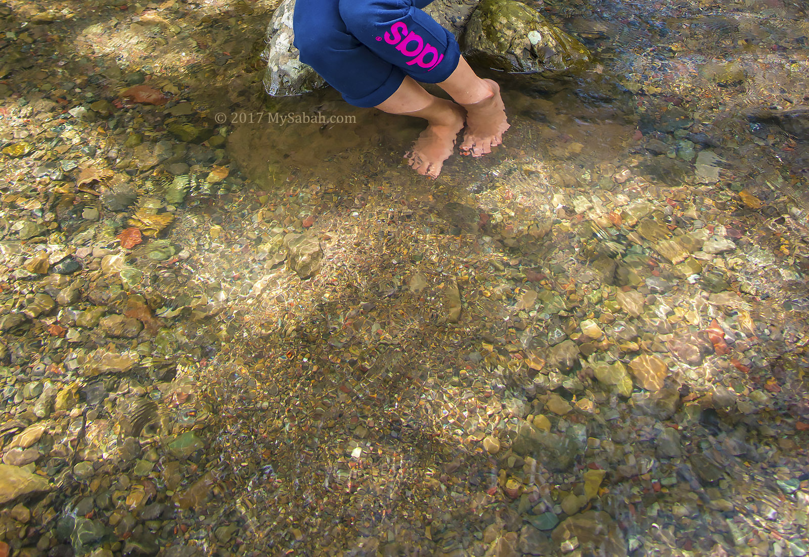
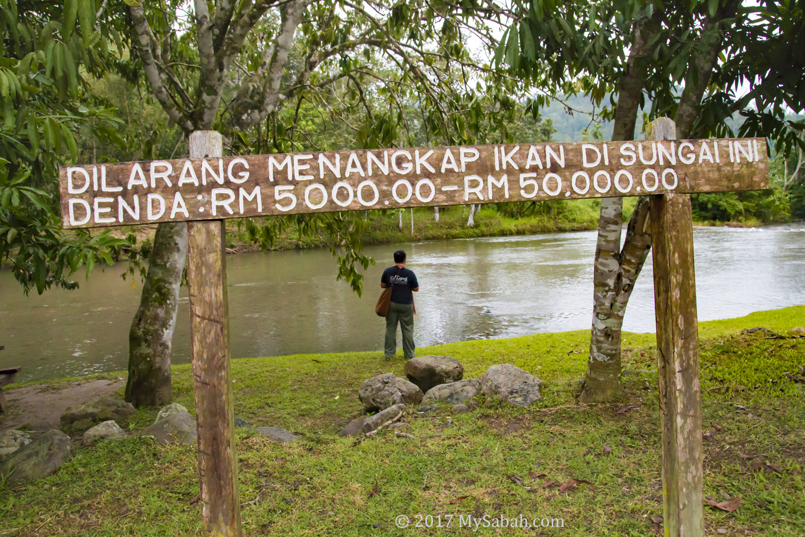
As we crossed the suspension bridge, I was impressed by the pristine river underneath, a tributary of the Wariu River that eventually merges with the Kadamaian River downstream—this is one of Kota Belud’s biggest rivers. Reports indicate it’s a class I river in terms of water quality, and rich in oxygen. It’s a refreshing spot, with temperatures hovering around a cool 25-27°C, perfect for a revitalizing shower after a lengthy hike.
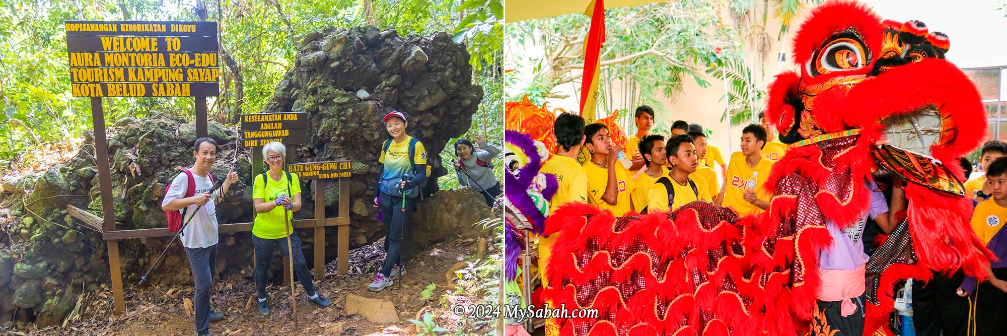
Lion Rock (Batu Gung-Gung Cha)
Following a brief ascent over a small hill known as the “Path of One Thousand Steps,” we encountered the first marvel: the Lion Rock. Locally referred to as Batu Gung-Gung Cha (Batu means Rock), this rock formation likely earned its name due to its resemblance to a lion and its association with the resounding tones of gongs and cymbals.
Tree Hole (Pokok Tomboilik)
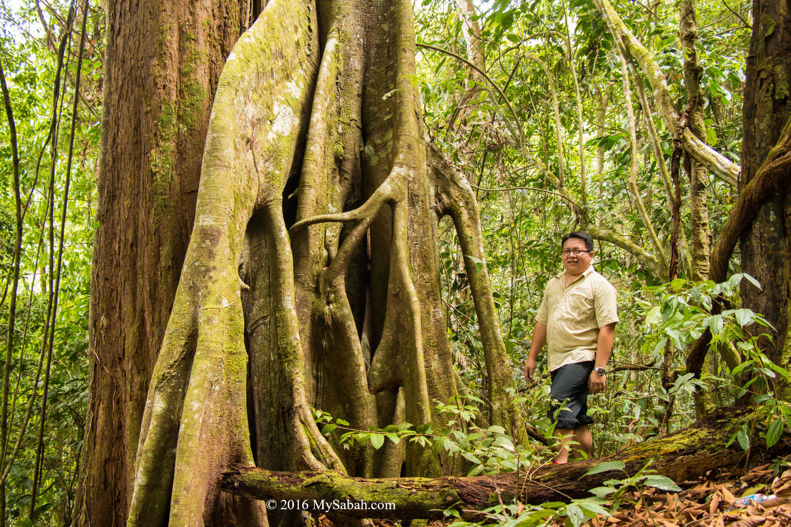
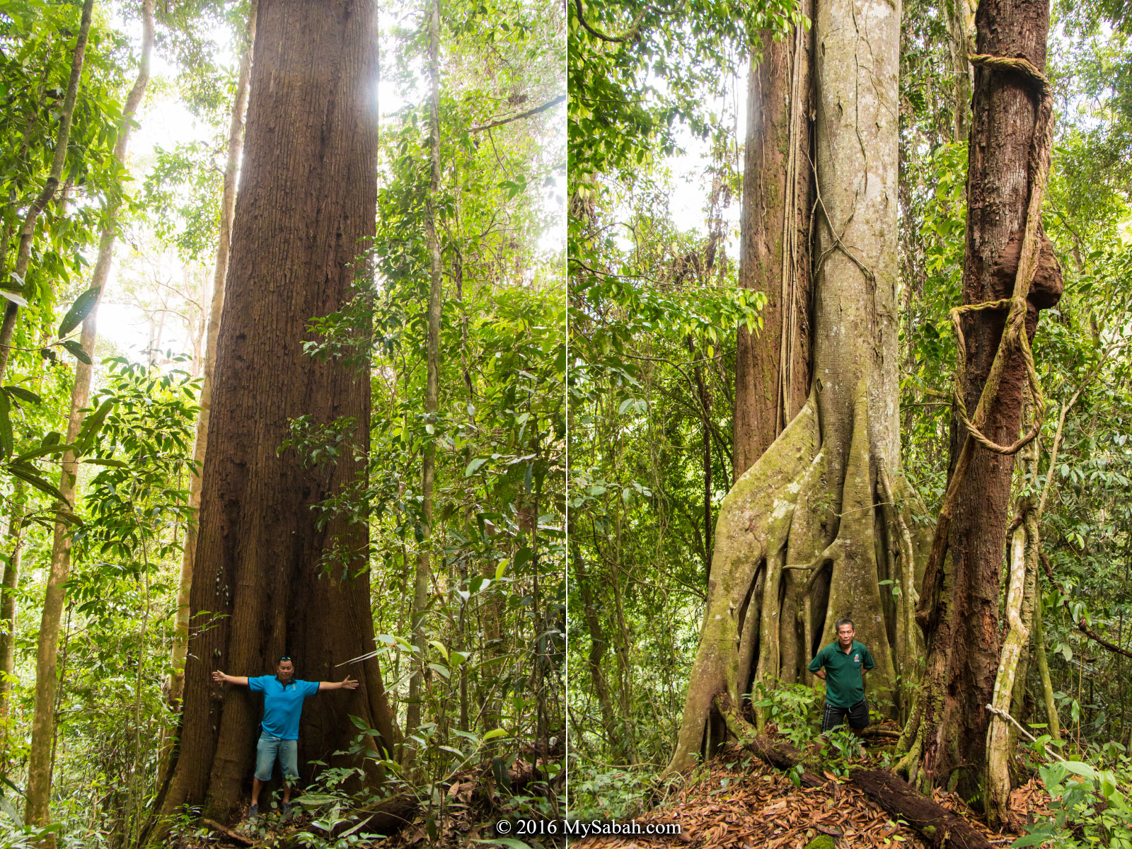
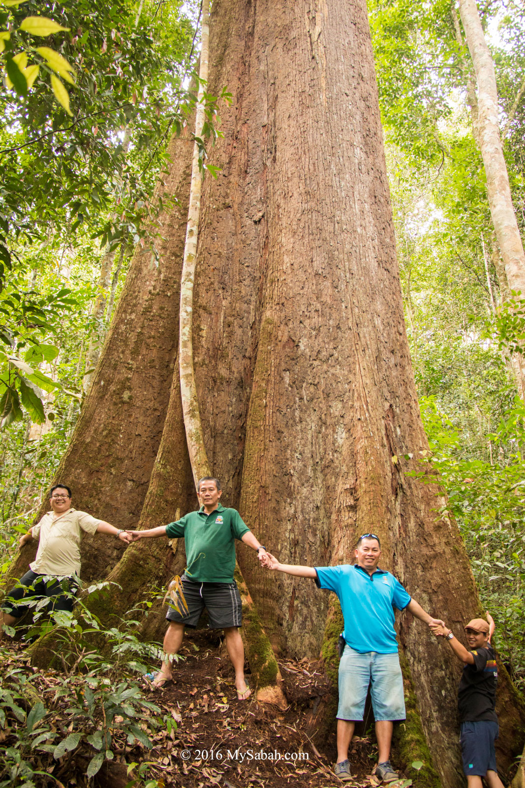
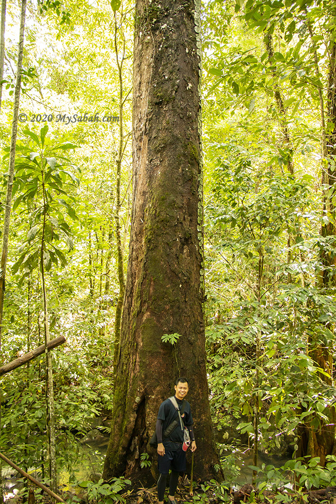
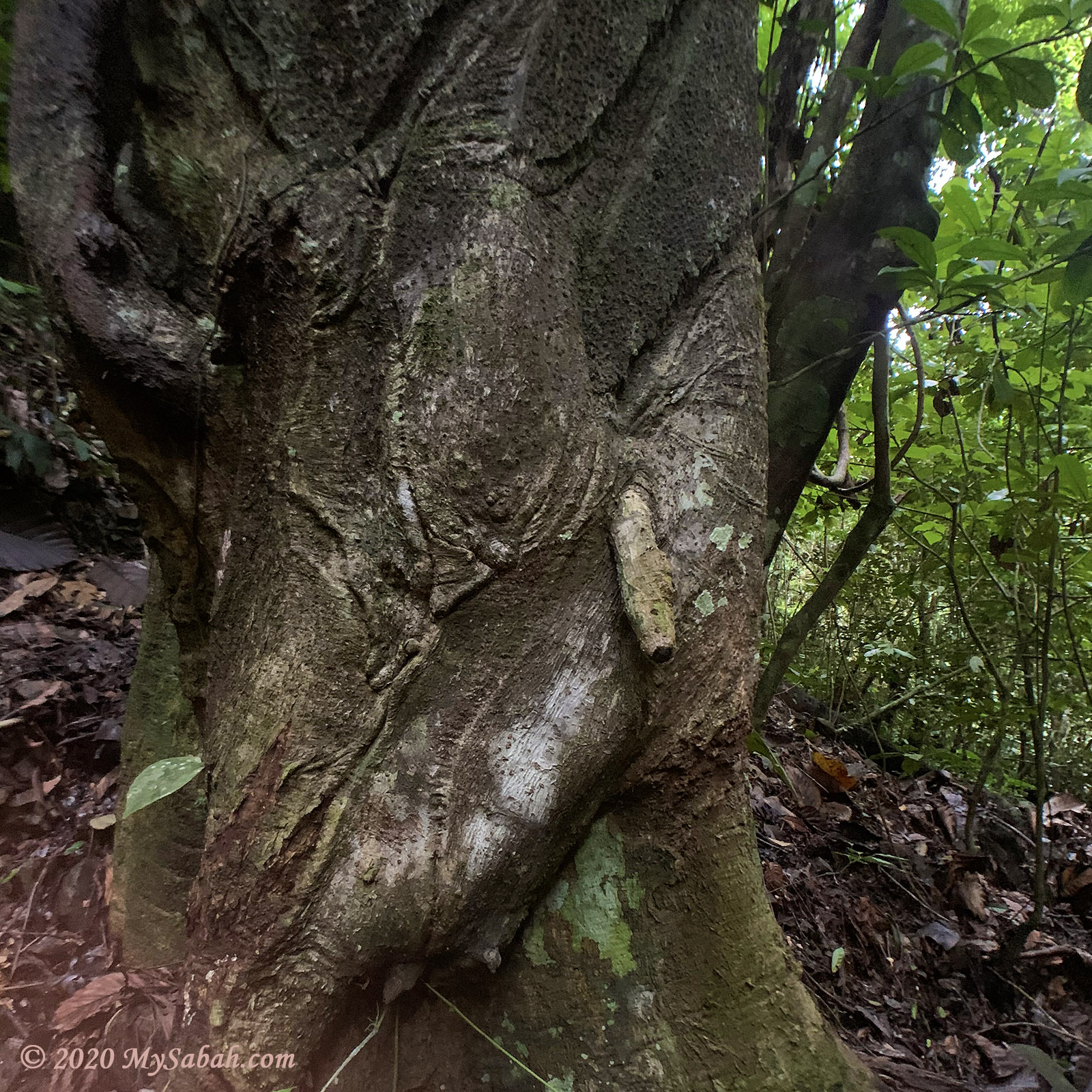
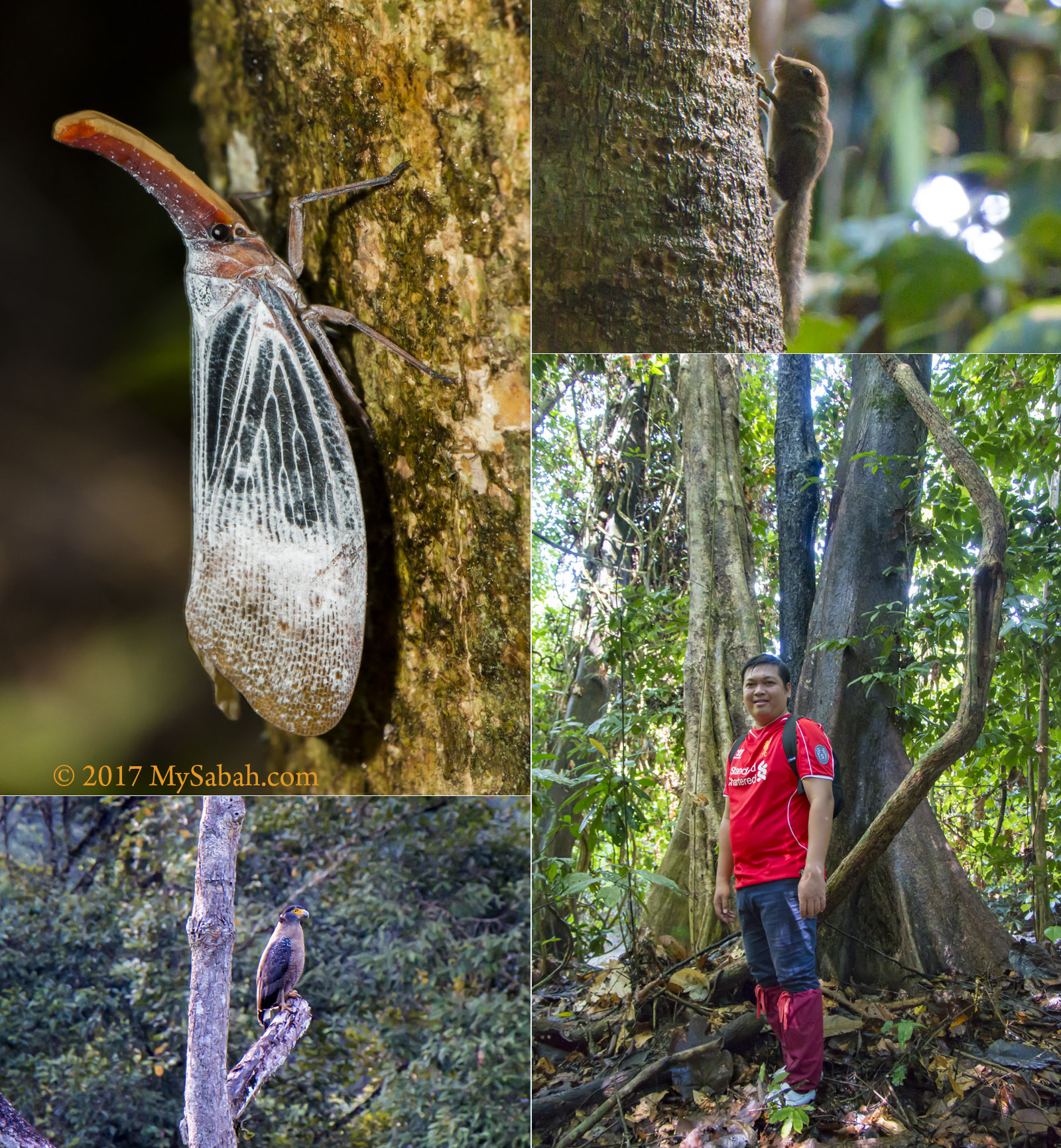
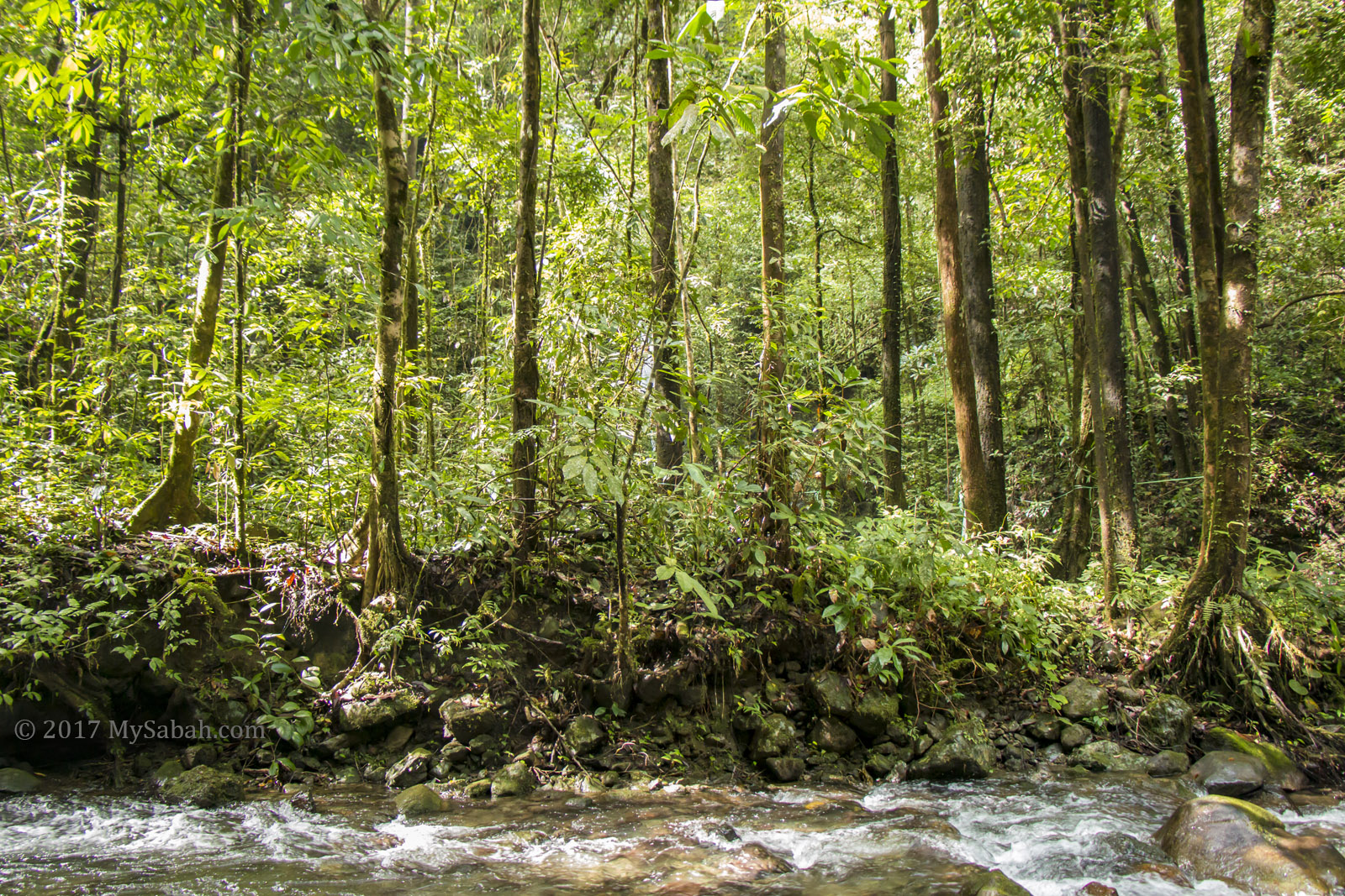
As the deafening chirps of cicadas and the lively calls of birds surrounded us, it was evident we’d ventured into the jungle—a regenerated secondary rainforest in good condition, thanks to the dense canopy providing ample shade that shields us from the sun. A highlight of the trek was squeezing through a tree hole in a giant tree known as Pokok Tomboilik. Just a heads-up, if you’re a bigger person with a hefty backpack, you might get stuck in the hole.
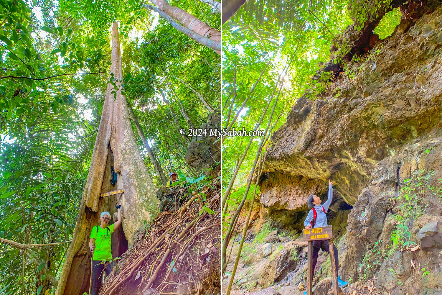
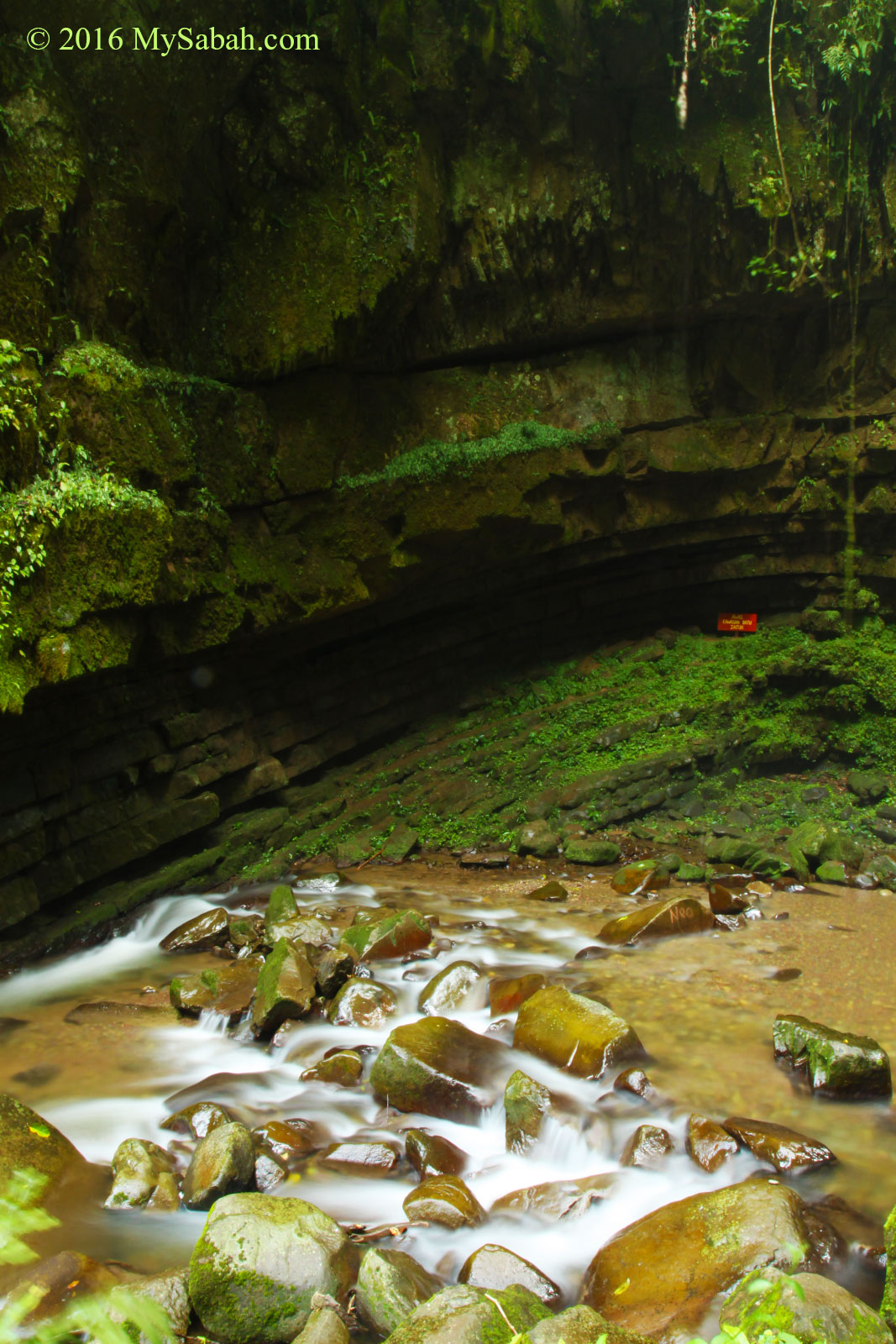
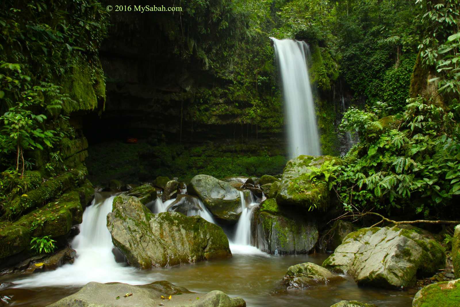
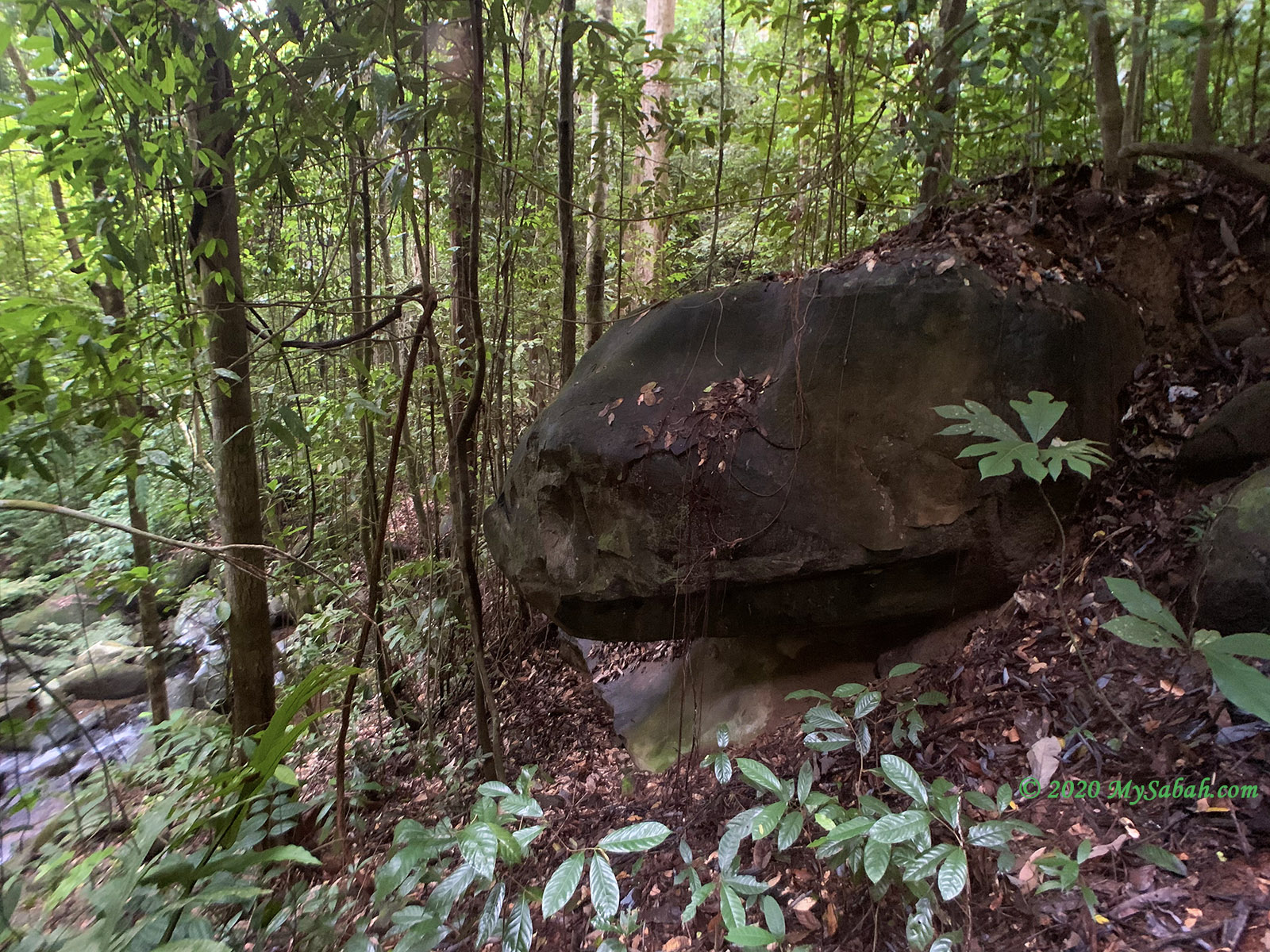
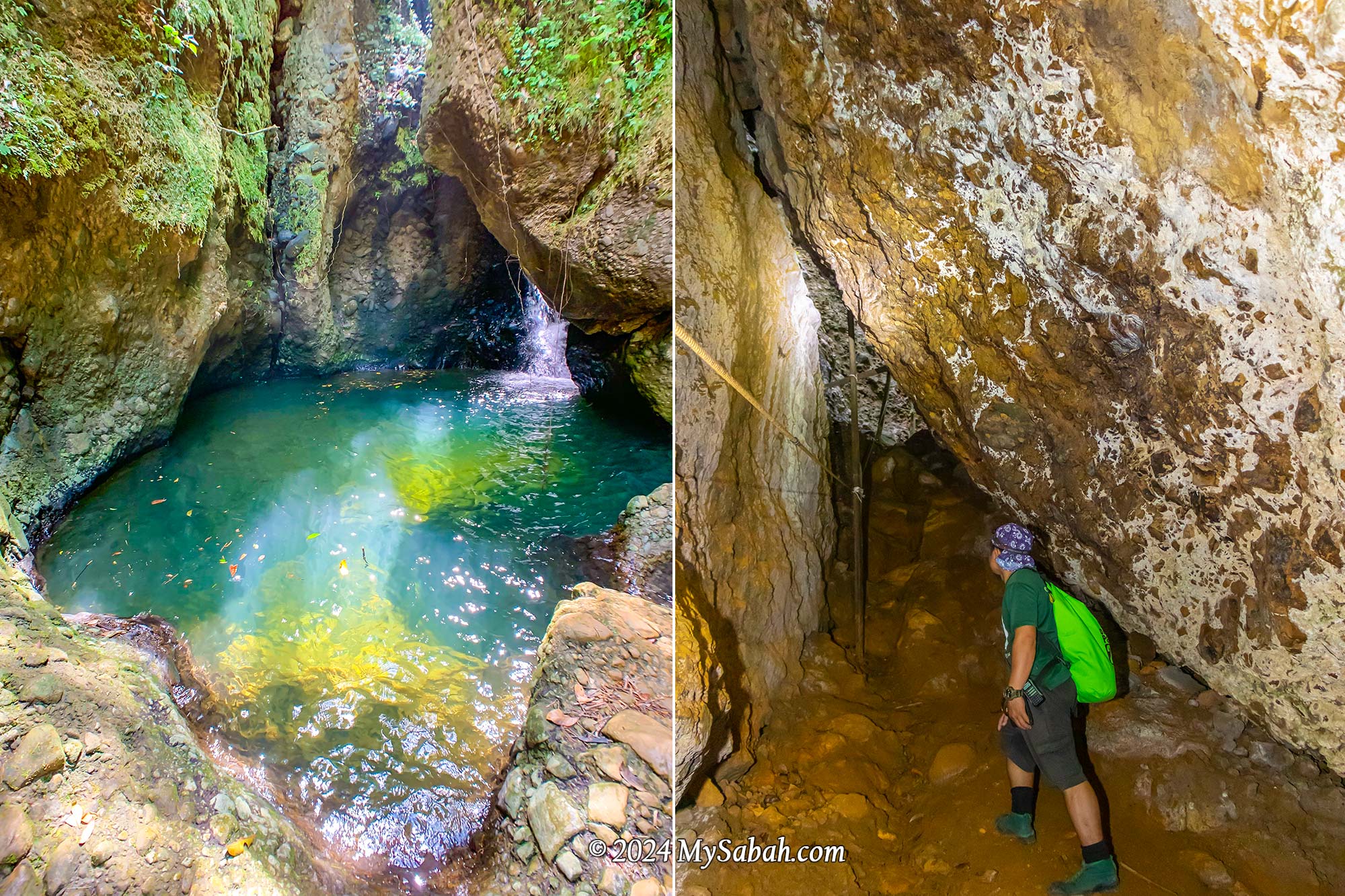
Mouth Cave (Gua Mulut)
Our next destination was quite a sight—a massive overhanging cave resembling the head of a dinosaur when seen from a certain angle. This cave is just one of many hidden within the area, adding to its allure as a fascinating geological site boasting various cave formations.

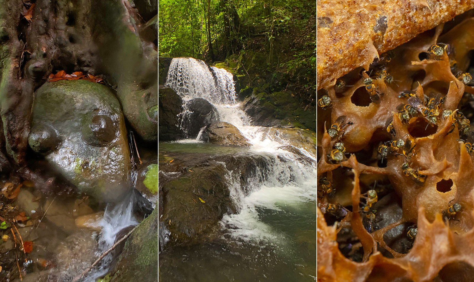
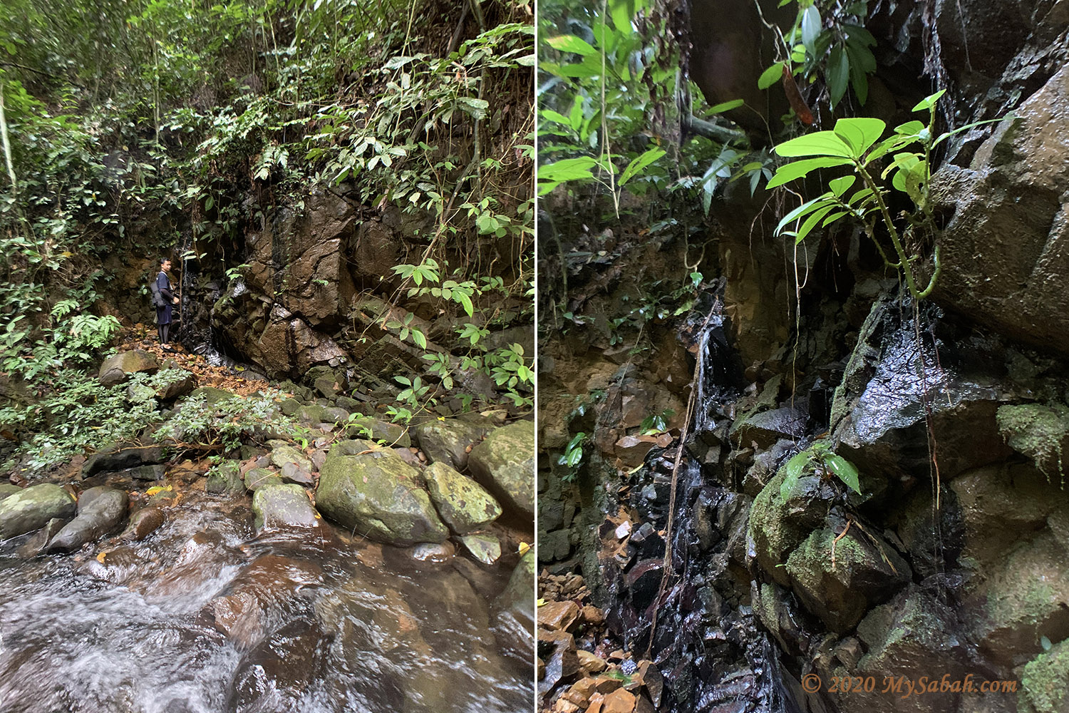
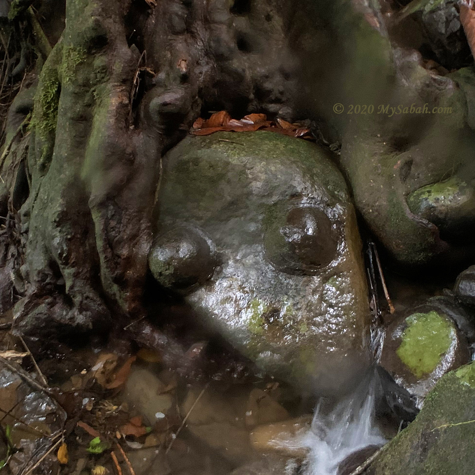
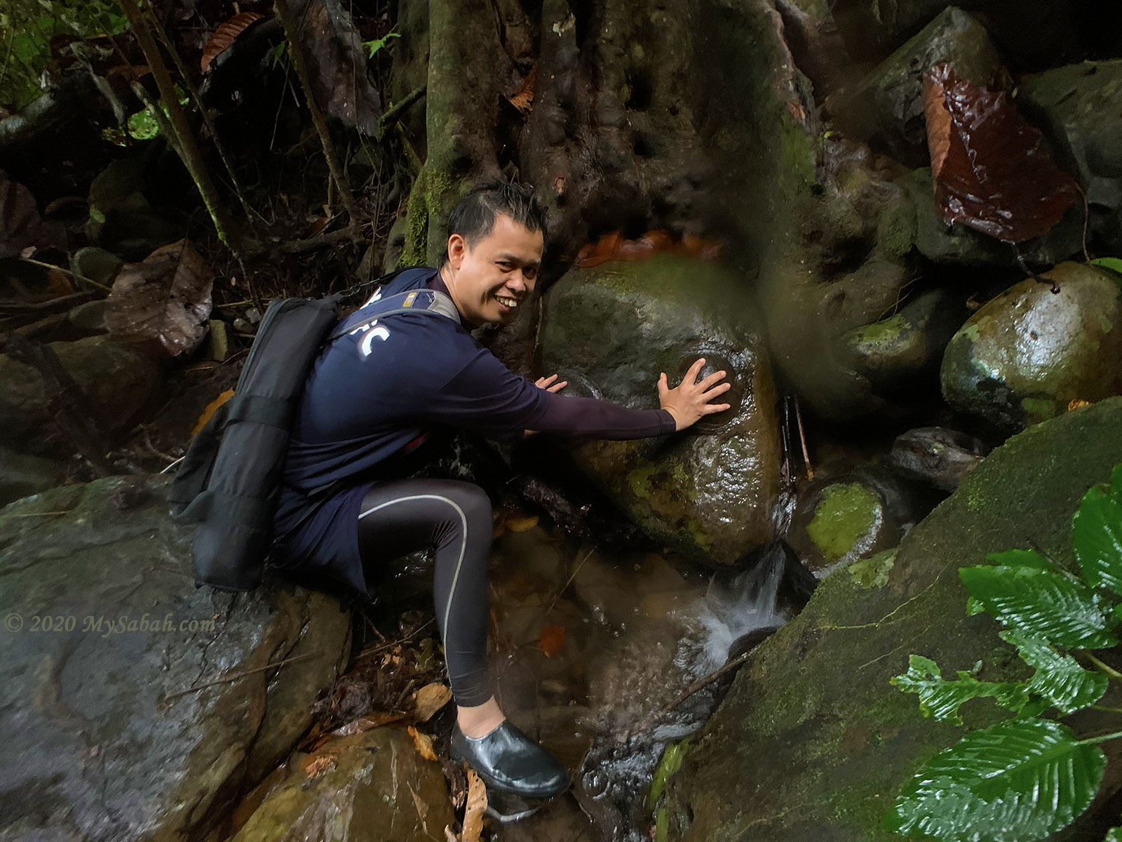
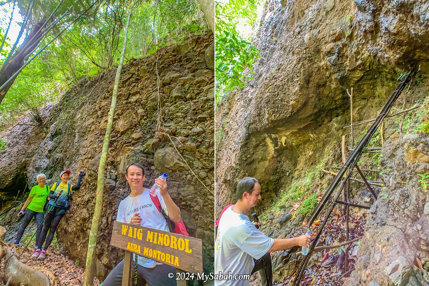
Natural Spring Water (Waig Minorol)
Close to the Mouth Cave, there are freshwater springs with water oozing out of the rocks. The sandstone, which is an excellent aquifer due to its high porosity and permeability, functions as groundwater reservoir that never run dry even during dry spells. I had a sip, and the mineral-rich water tasted wonderfully fresh, cool, and clean—no strange odors at all.
Wongking Cave
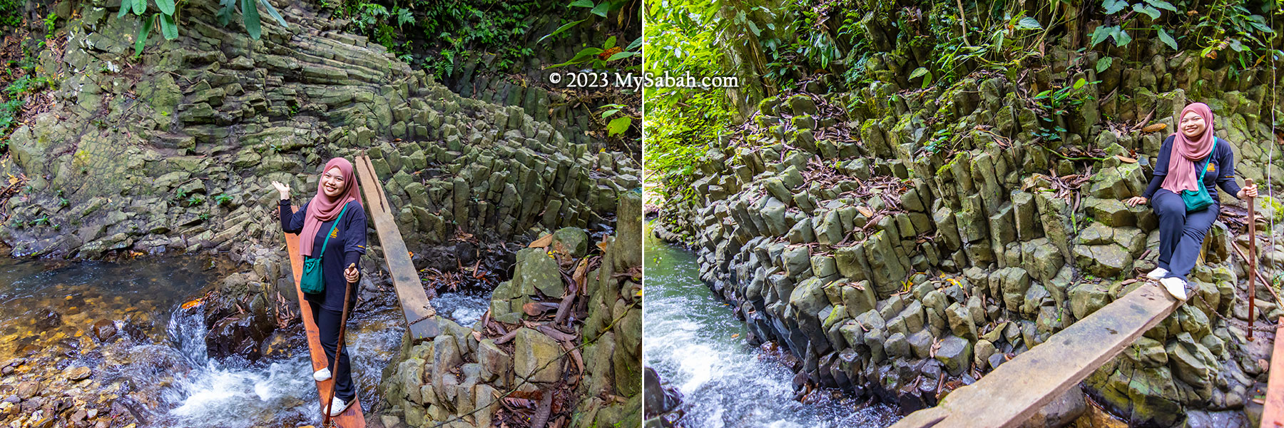
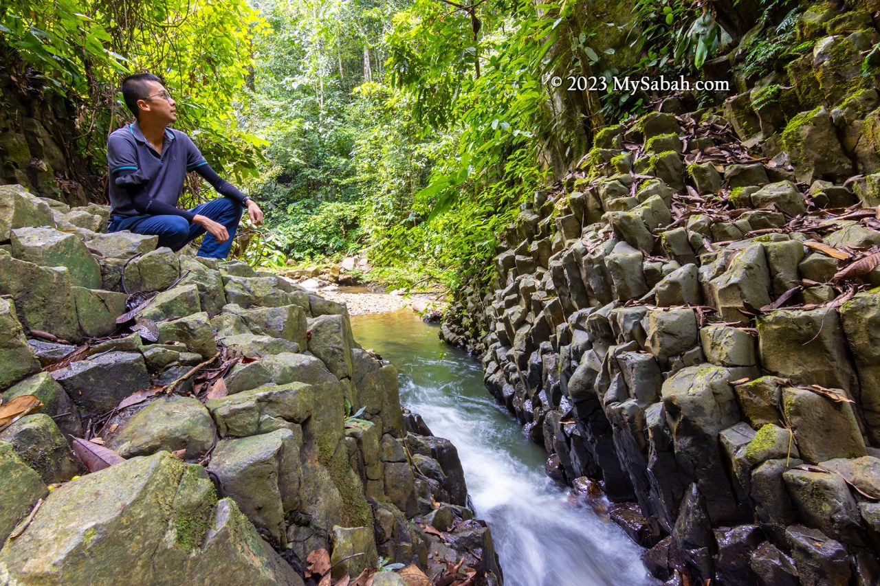
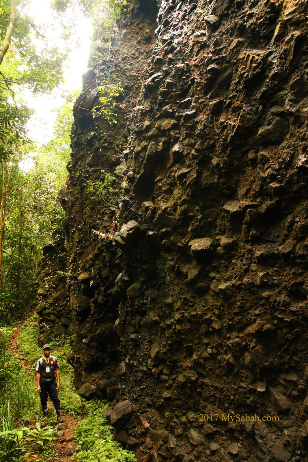
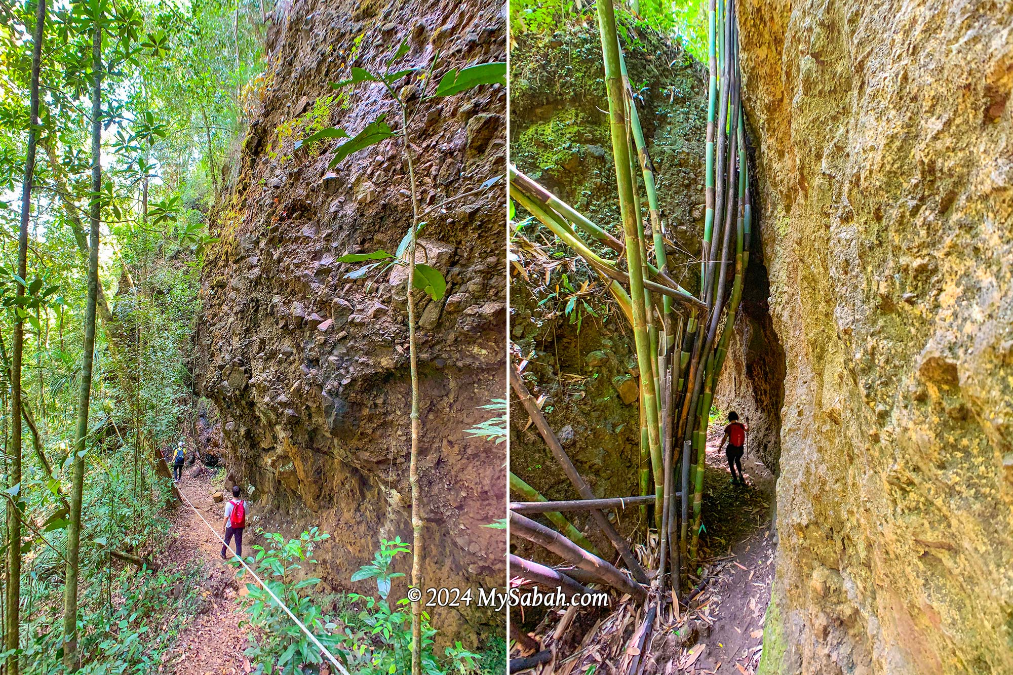
Along the trail, we encountered stunning rock walls formed from conglomerate—a mix of sedimentary rocks in various sizes and shapes glued together by finer materials such as sand, silt, or clay. Some of these formations were covered with epiliths such as white mold and green mosses, adding to their beauty.
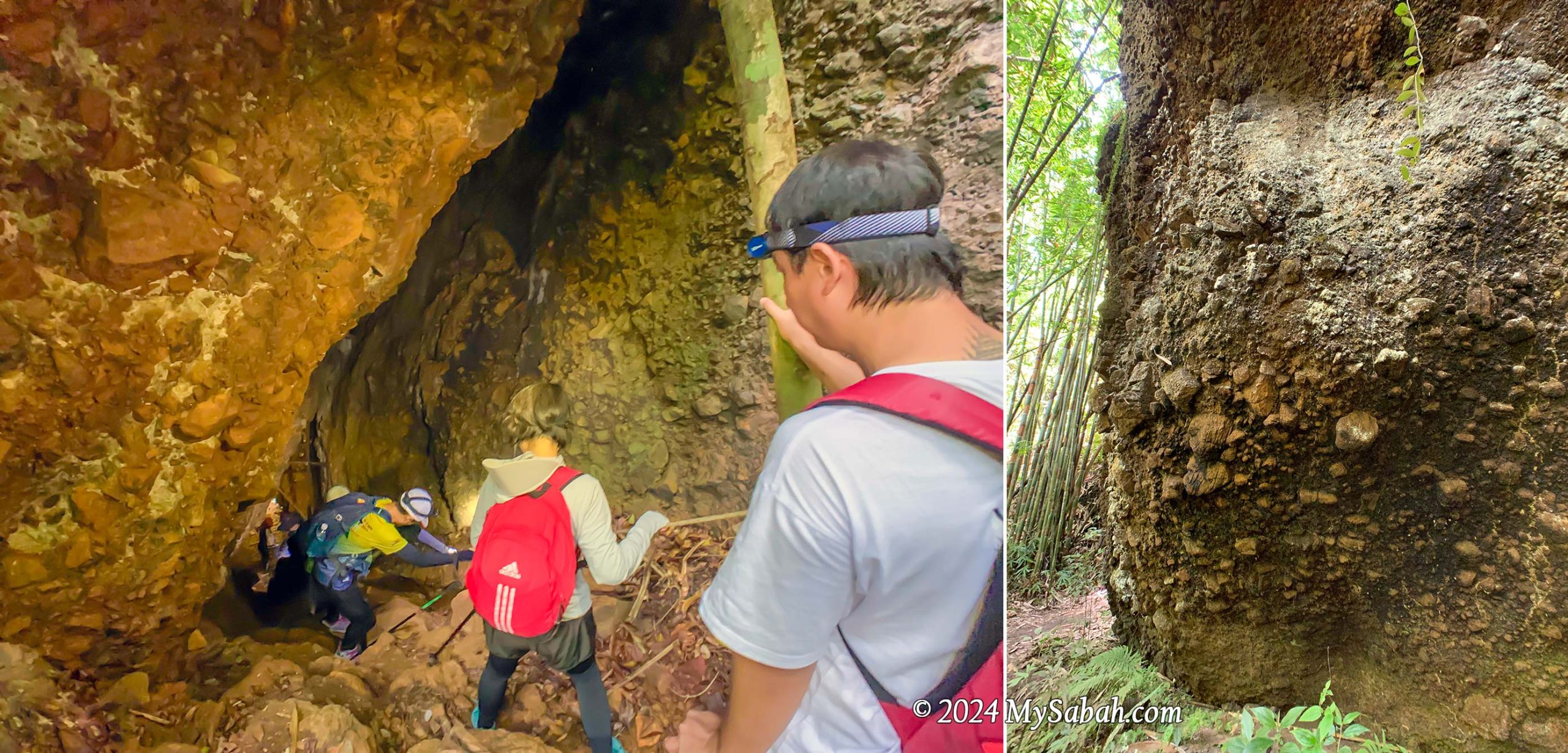
Descending into the depths, we ventured into the dark Wongking Cave. With our guides leading the way, both ahead and behind us, we felt safe exploring the underground cave. Don’t forget to bring a LED headlamp or flashlight for your caving adventure.
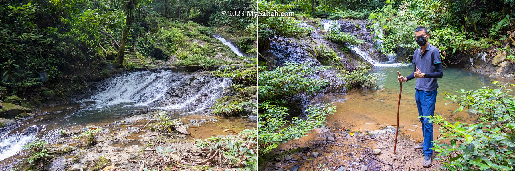
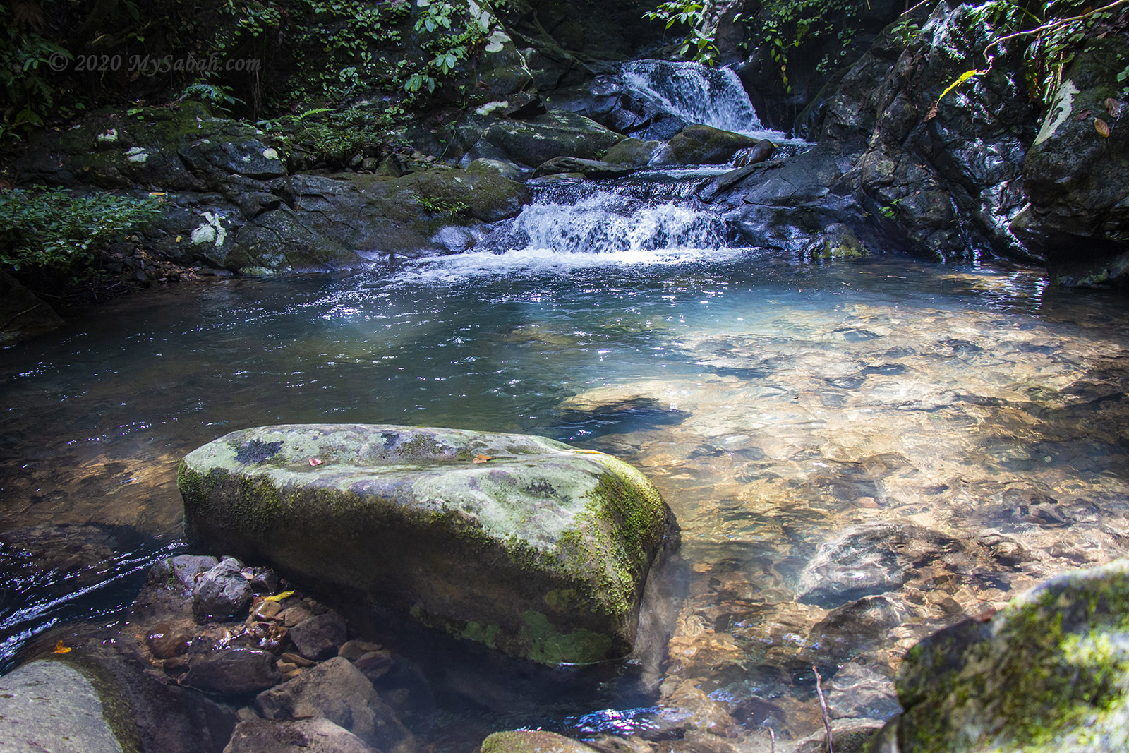
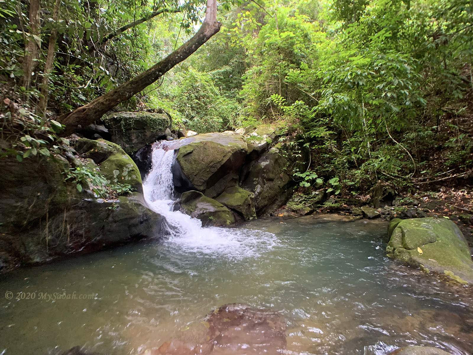
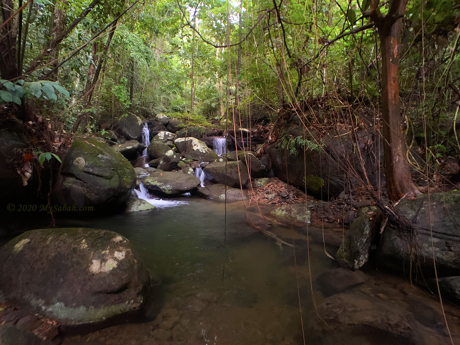
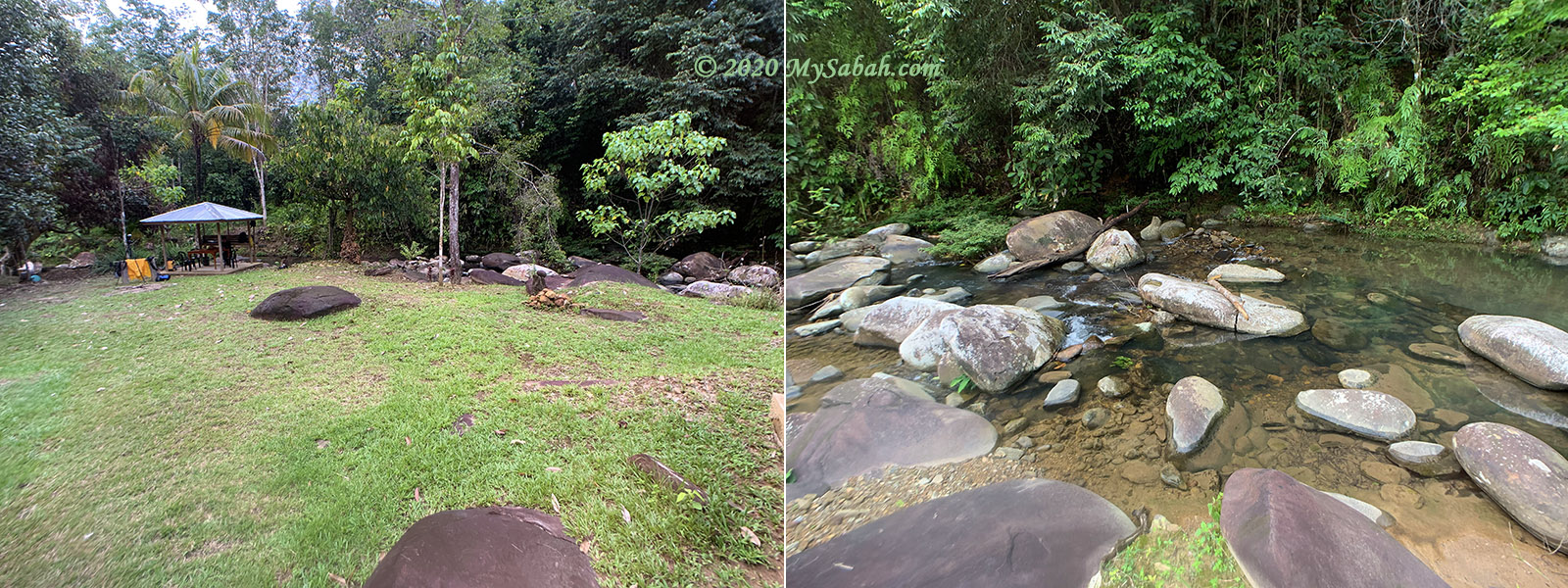
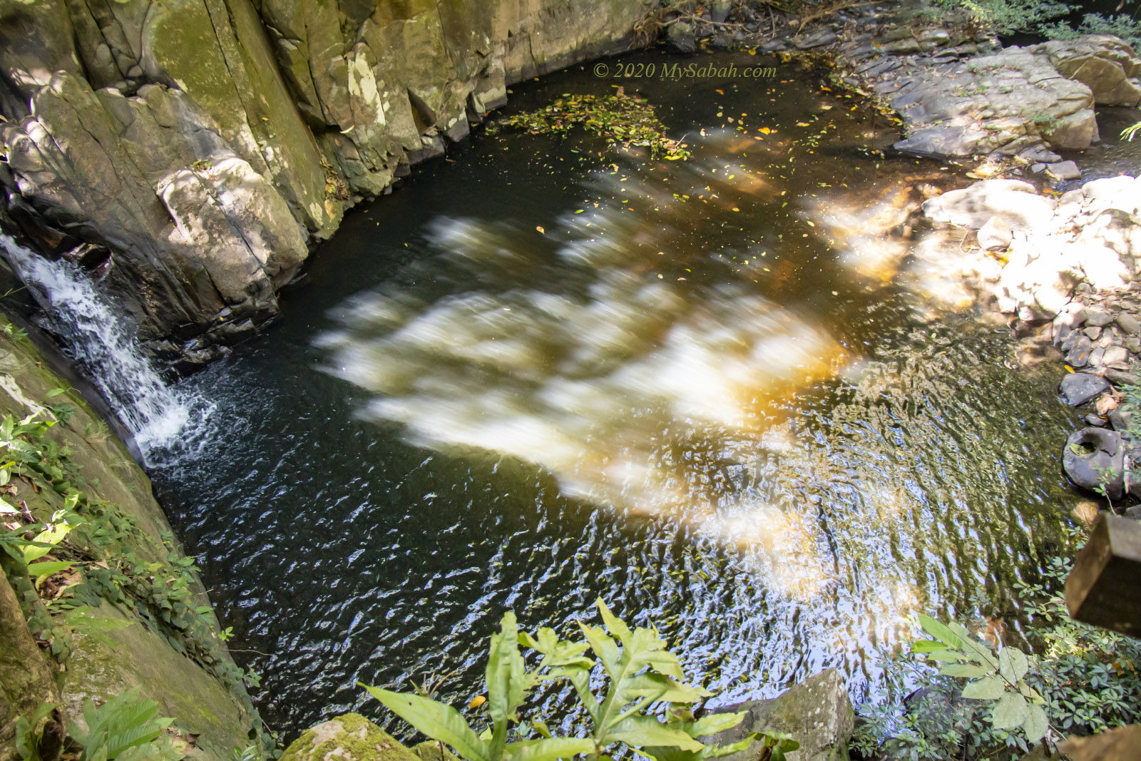
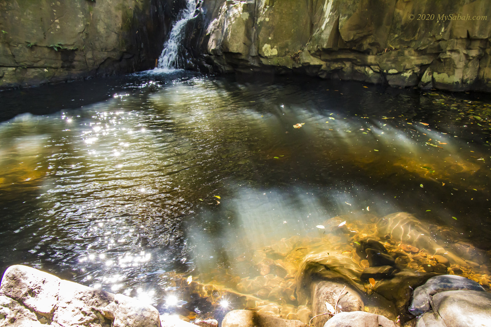
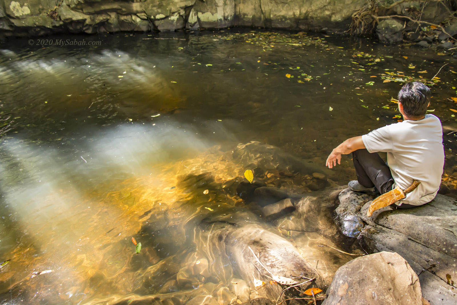
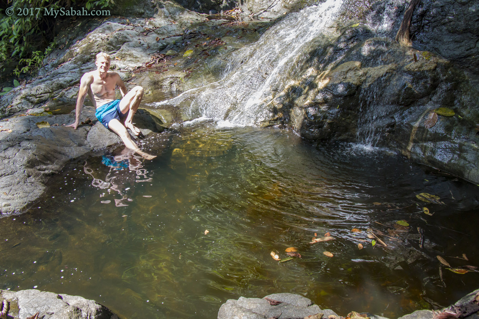
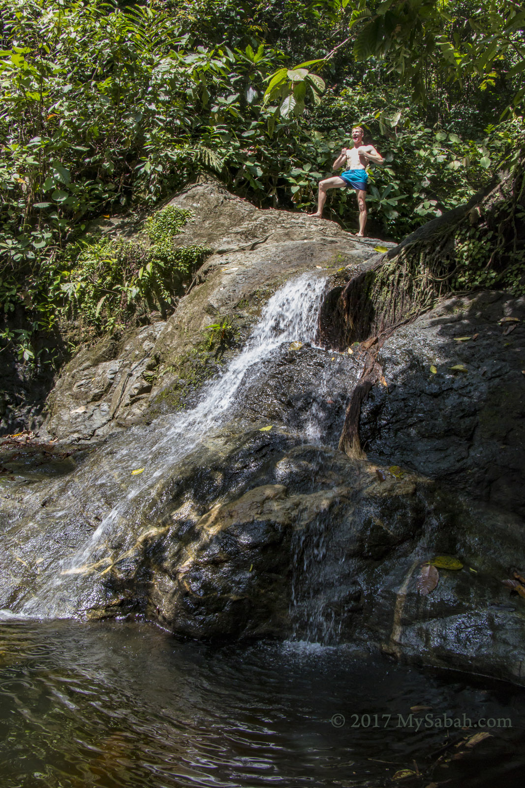
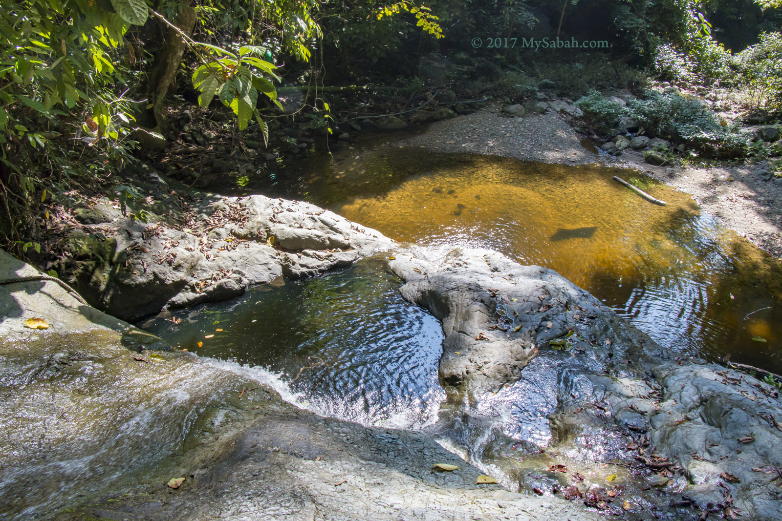
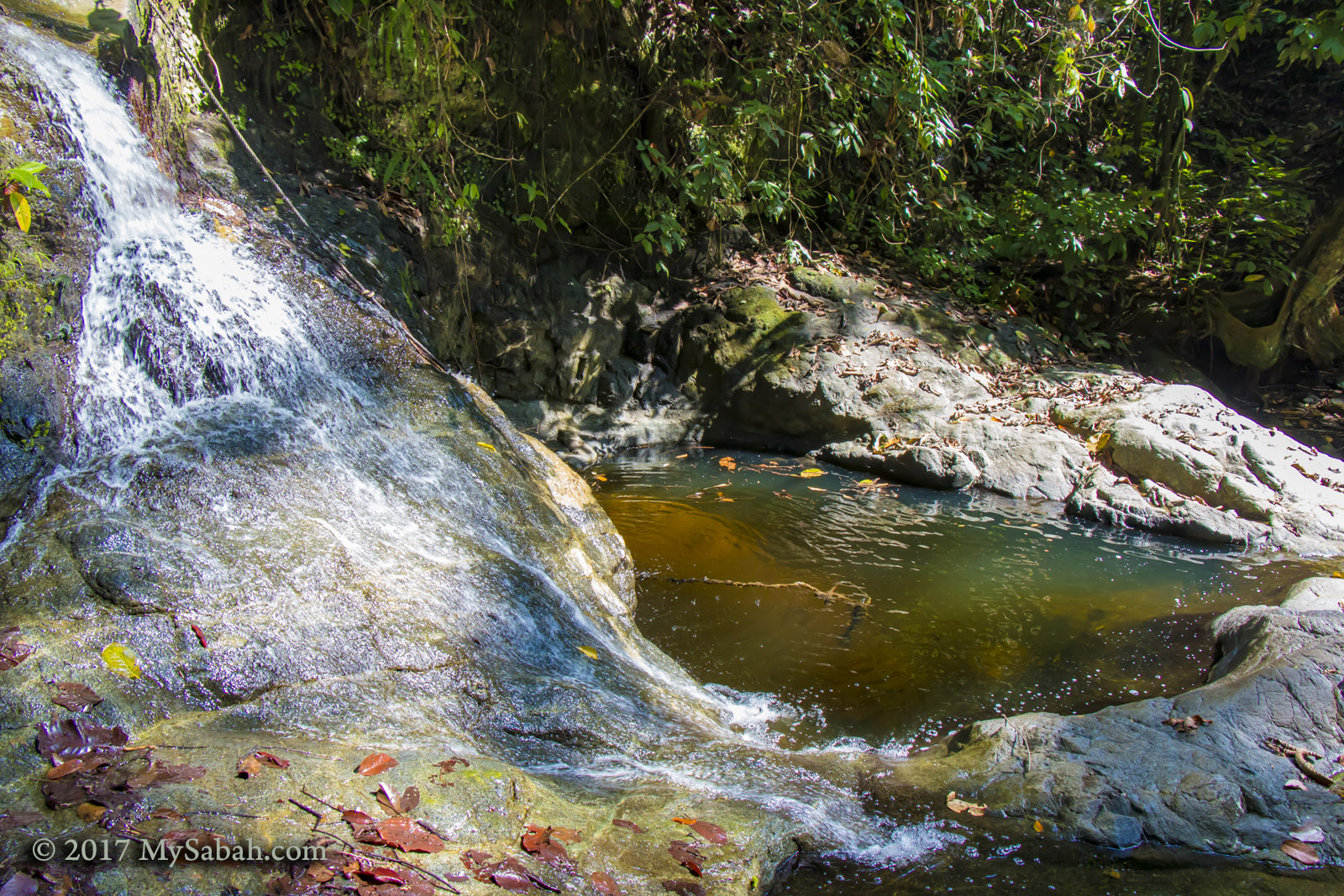
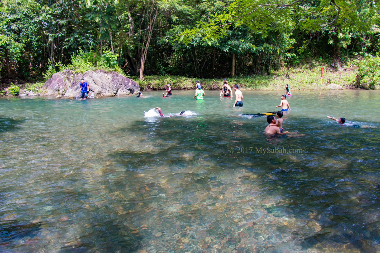
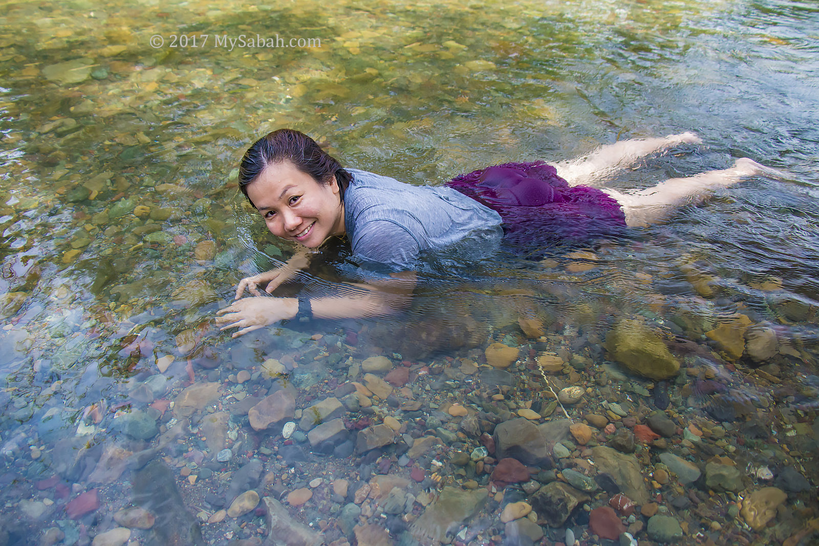
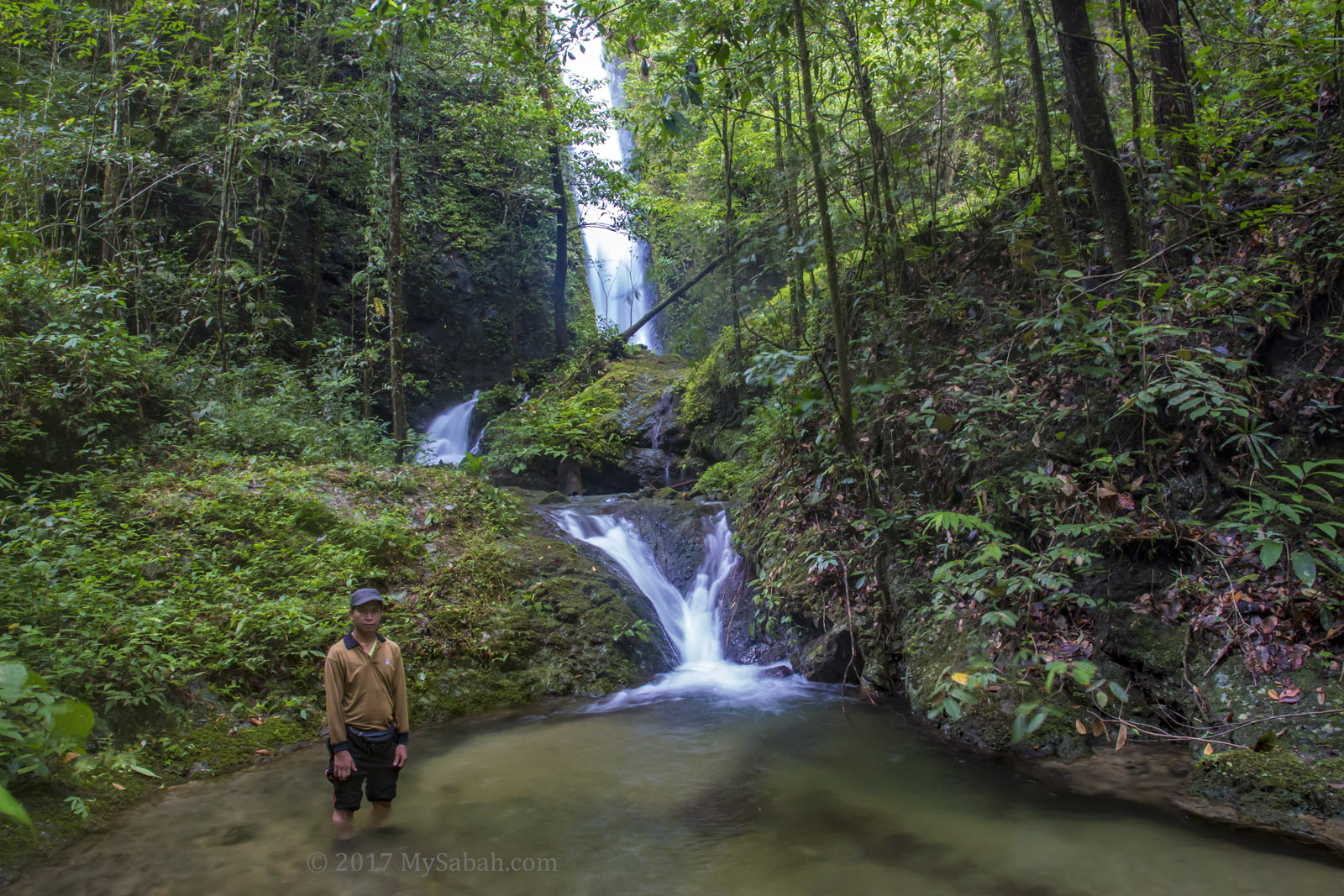
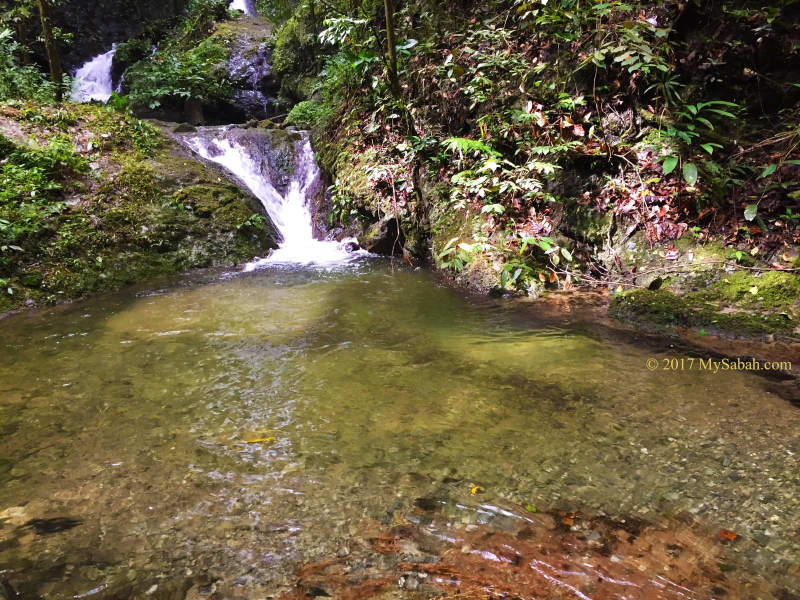
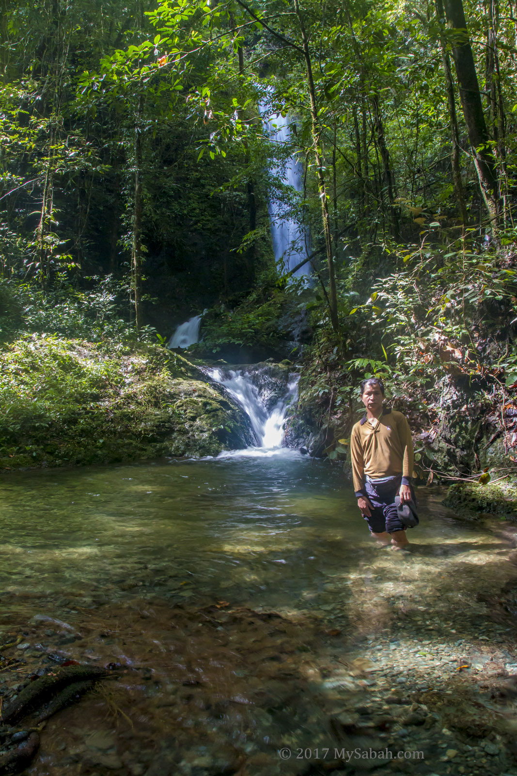
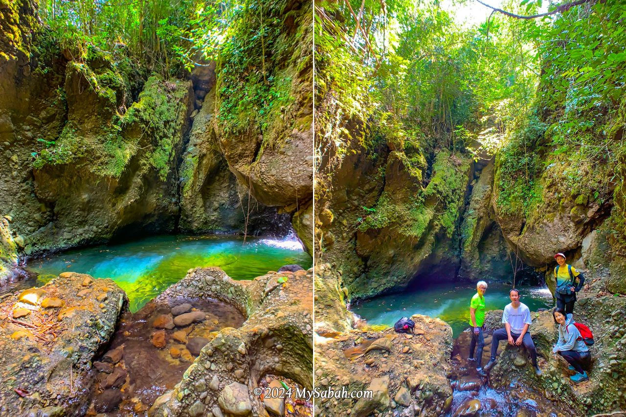
Rock Pond (Liogu Ourod)
This is the highlight I was most excited about. The oval-shaped rock pond is fed by a mountain stream and takes on a mesmerizing emerald hue when sunlight dances upon its surface. It resembles the mythical magic pool believed to restore youth to those who drink or bathe in its waters. Be careful when you move around there because the rock surface is very slippery.
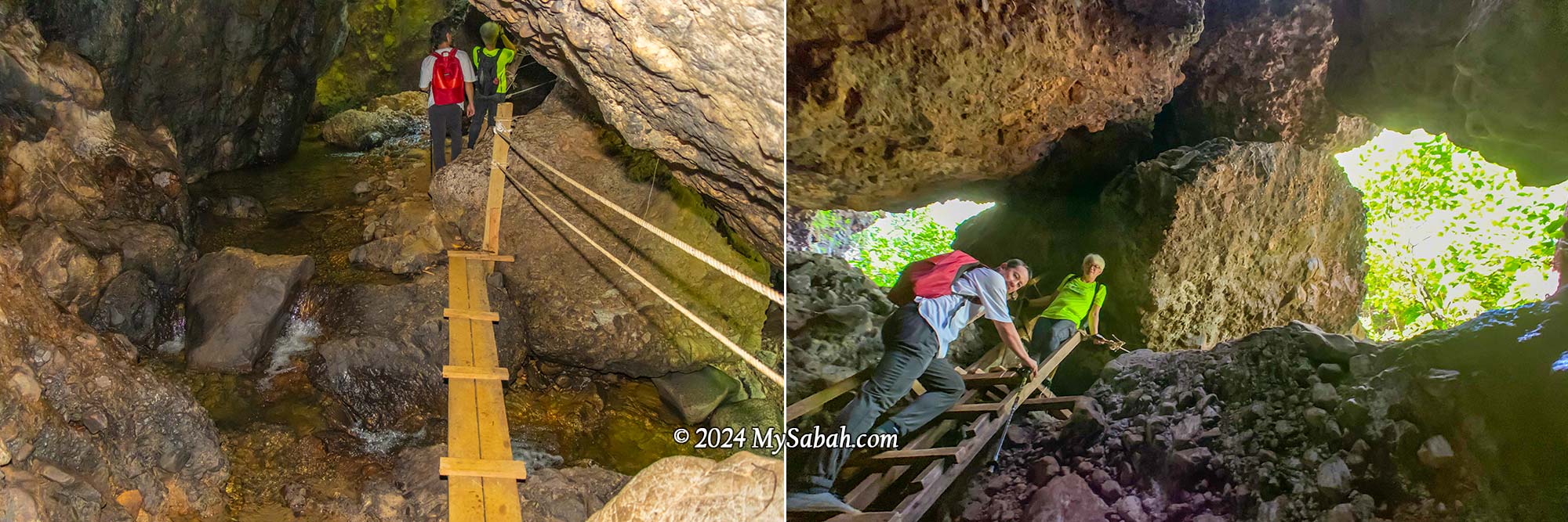
Bat Cave (Gua Pungit)
Venturing into another mountain cave, we discovered a stream flowing within. Natural light poured in through the cave’s opening on top, which also served as an entrance and exit for its inhabitants, like bats. Making the exploration easier, there were ropes and ladders available to facilitate movement in and out of the cave.
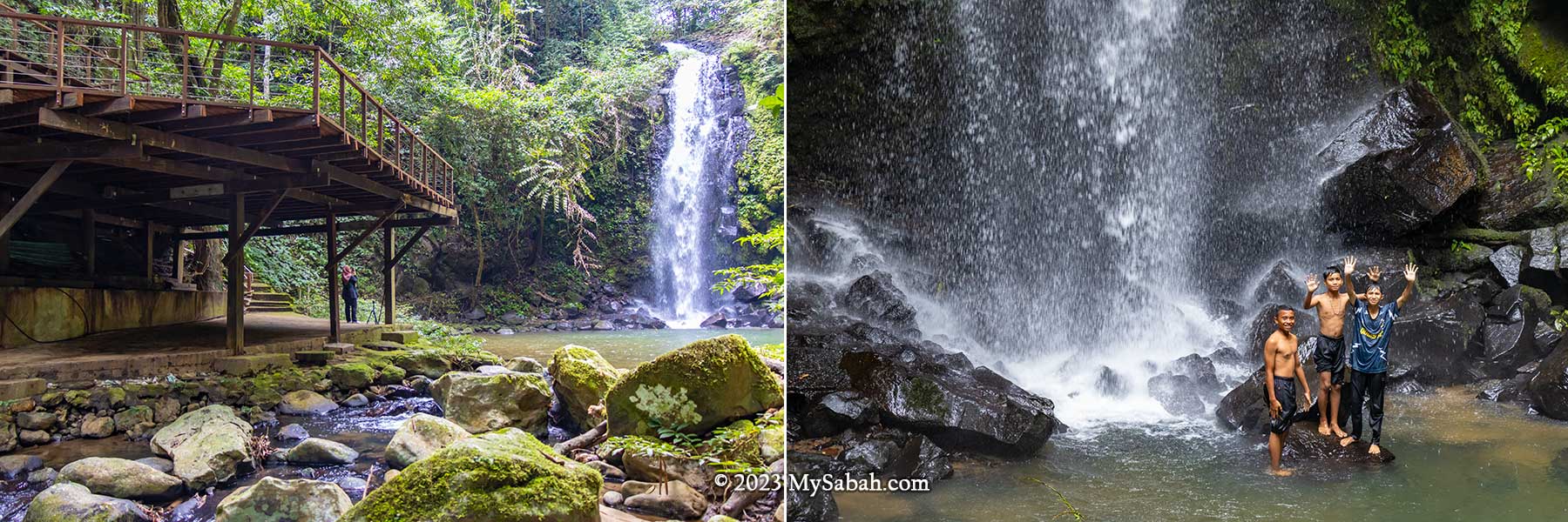
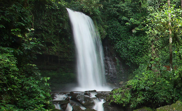
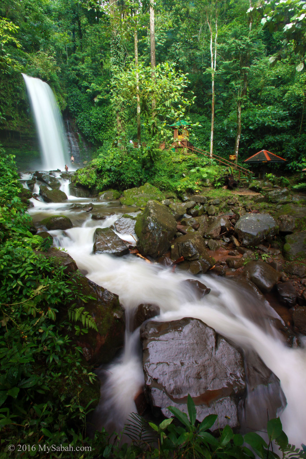
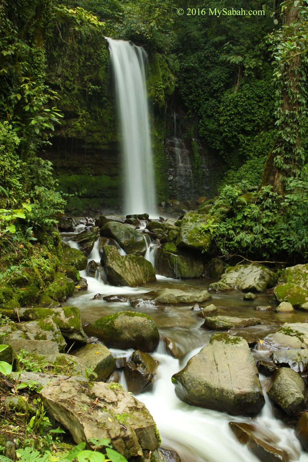
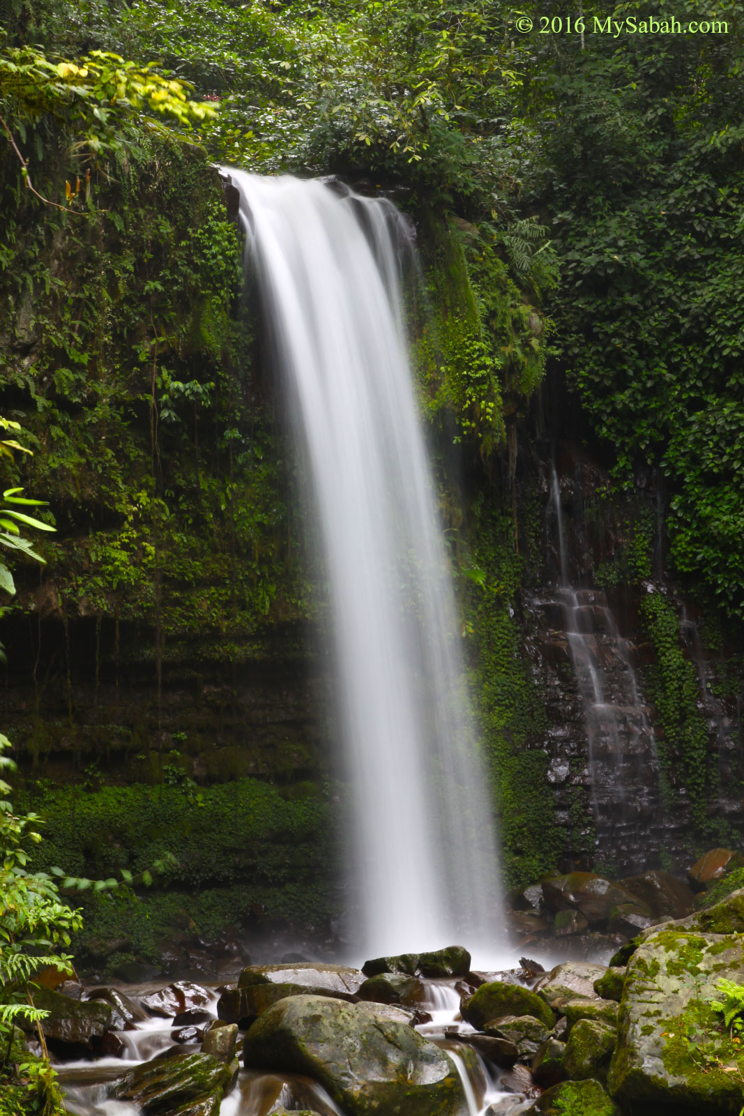
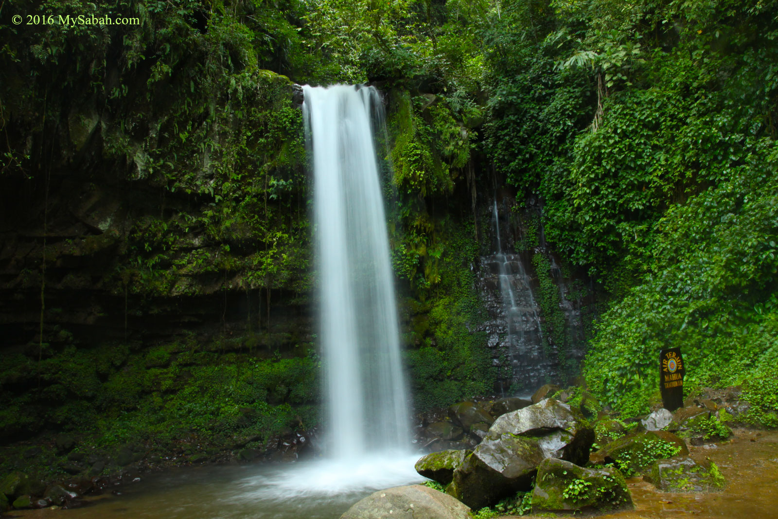
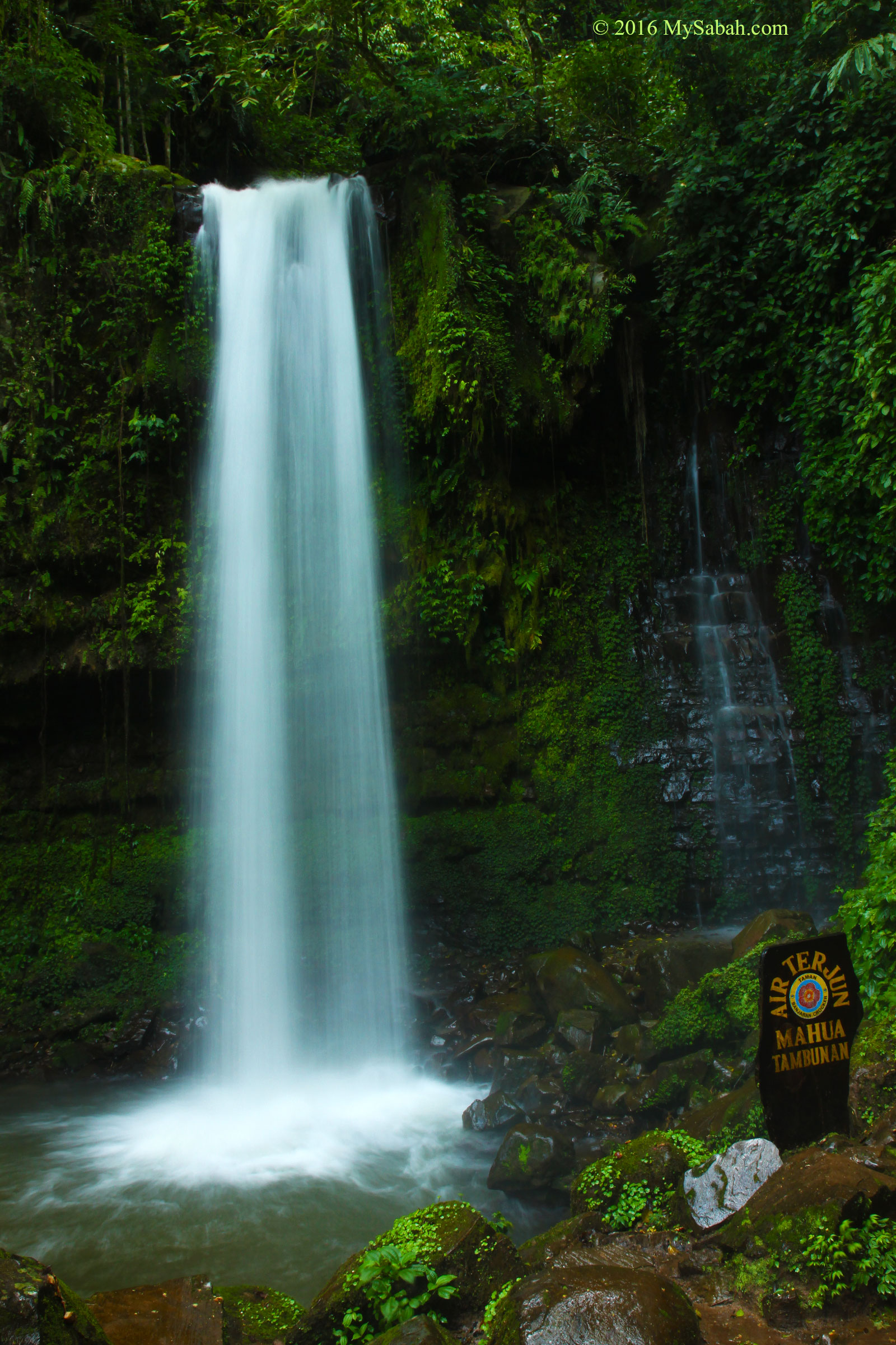
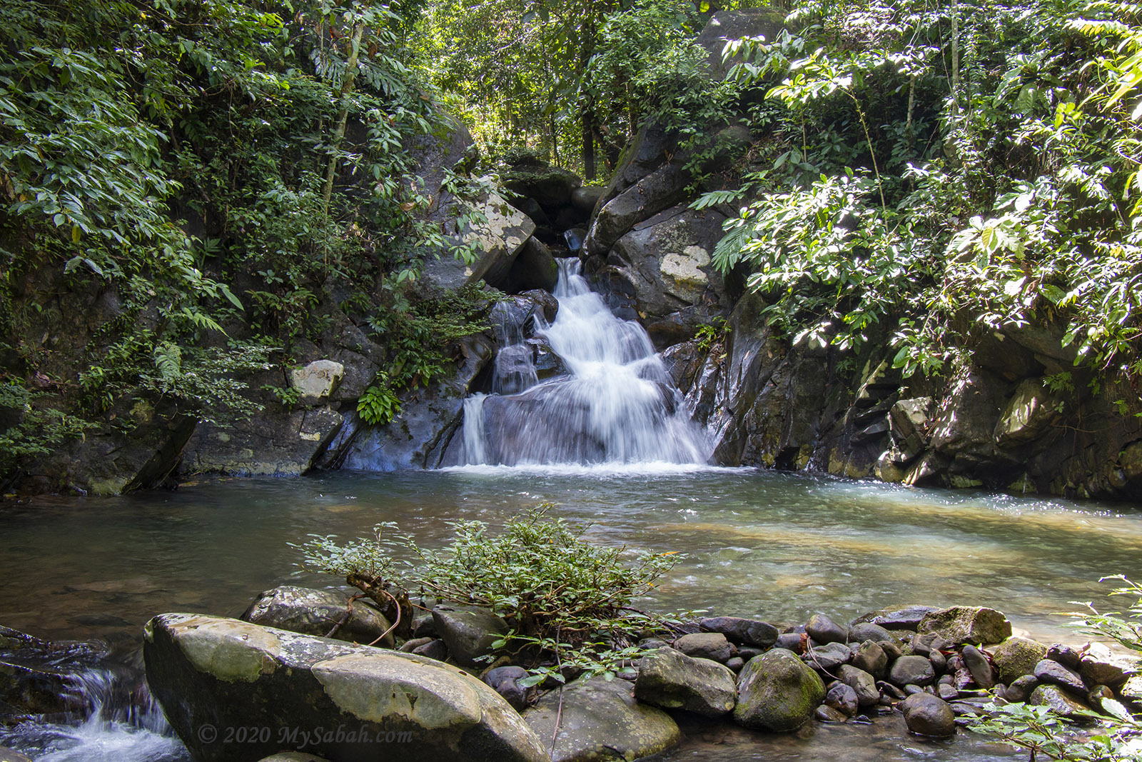
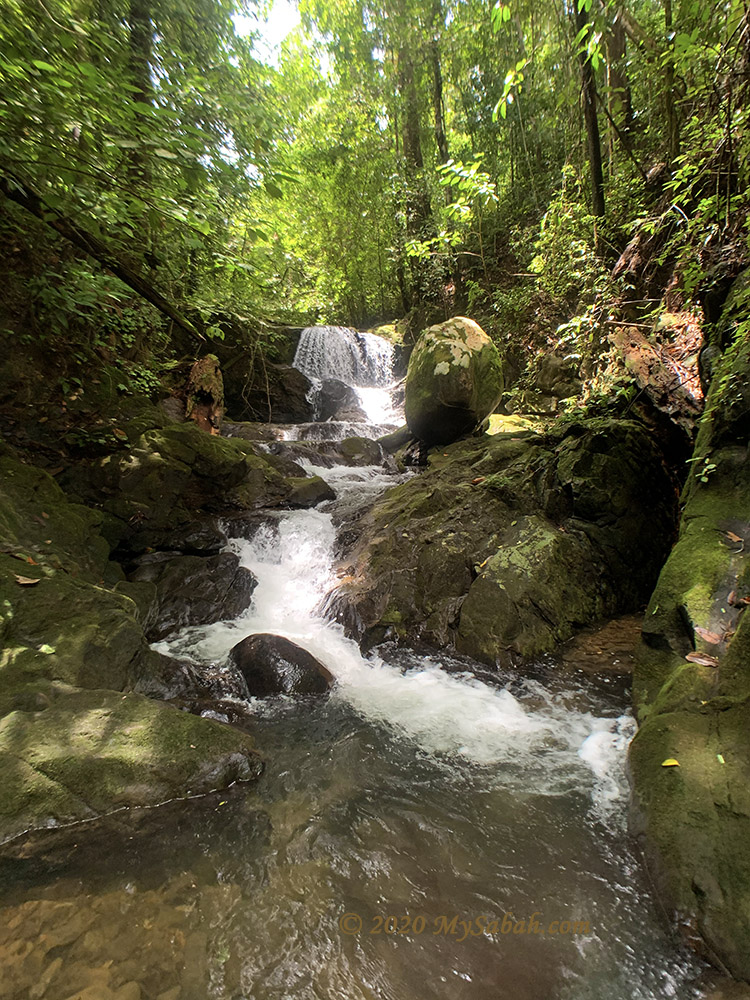
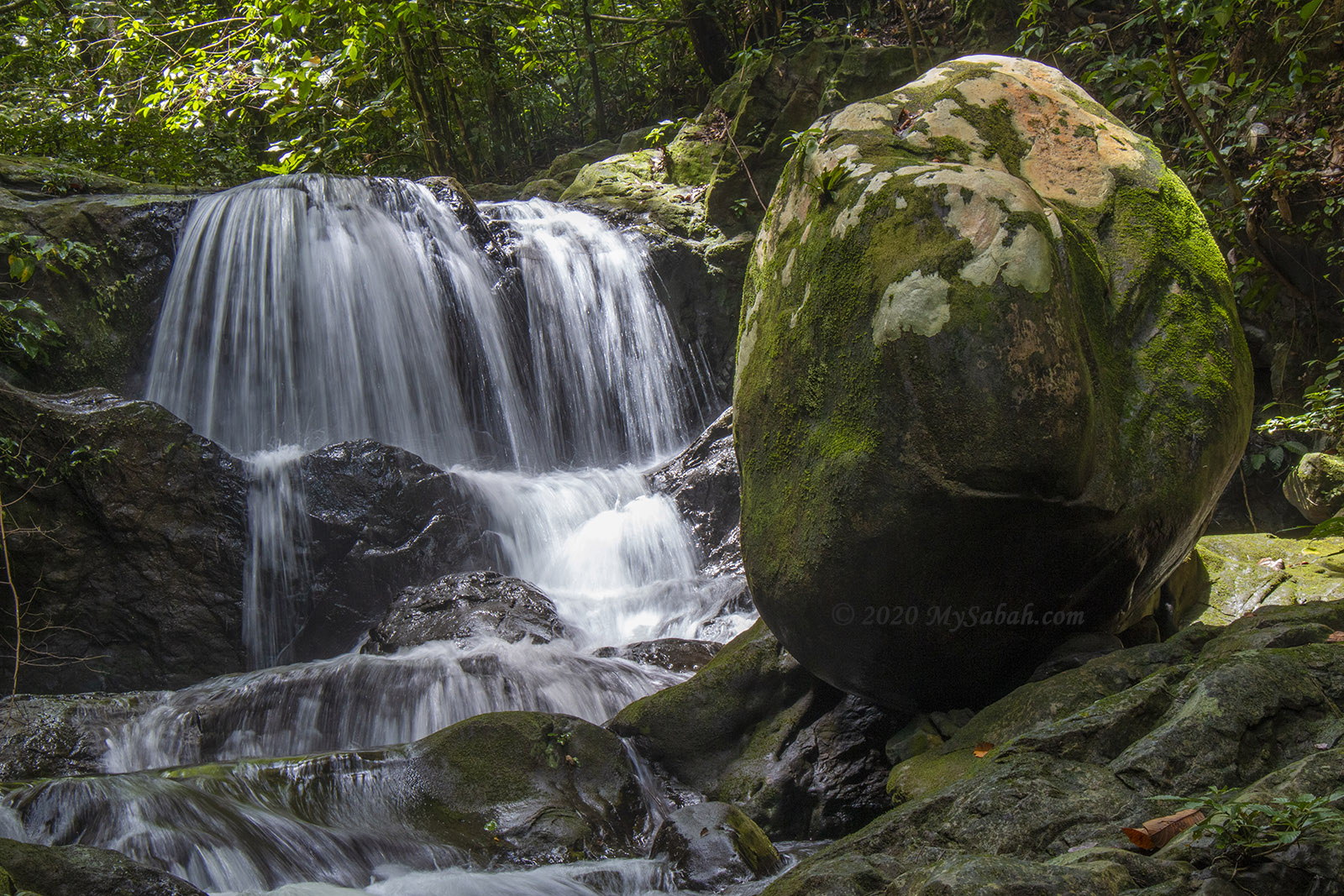
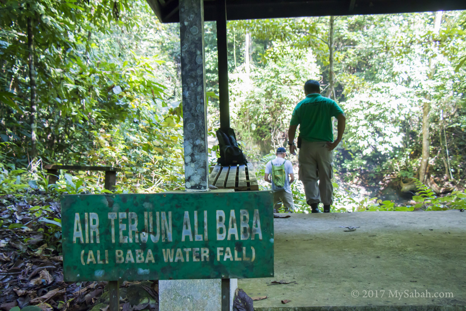
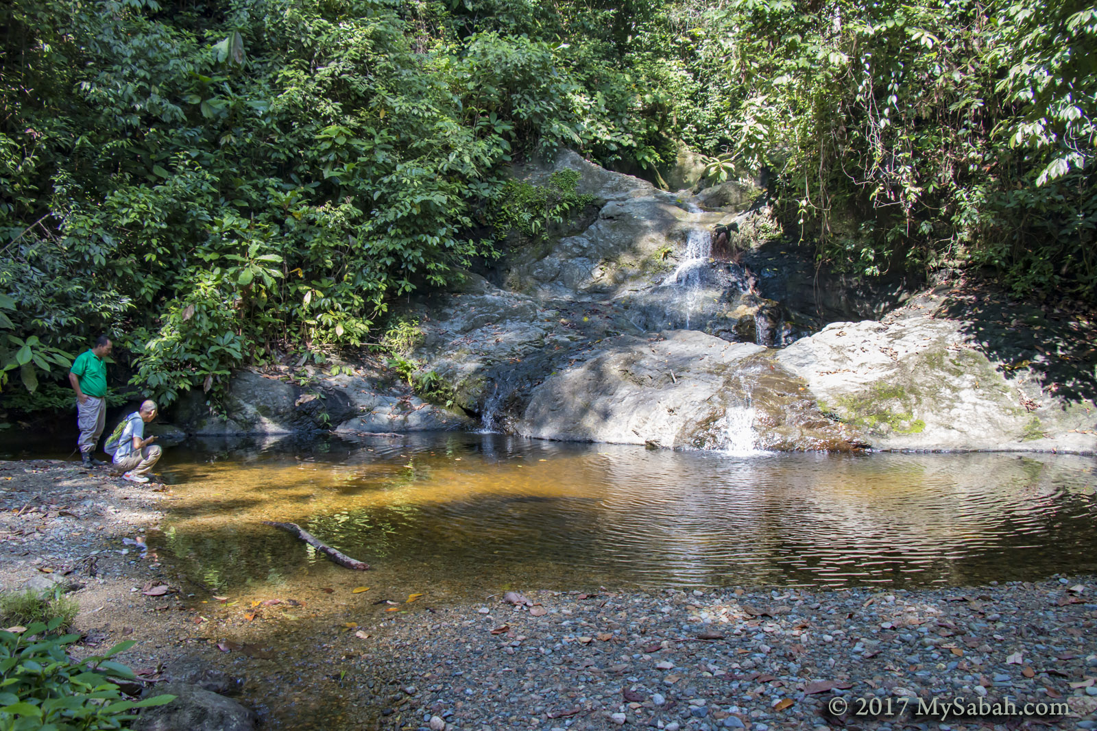
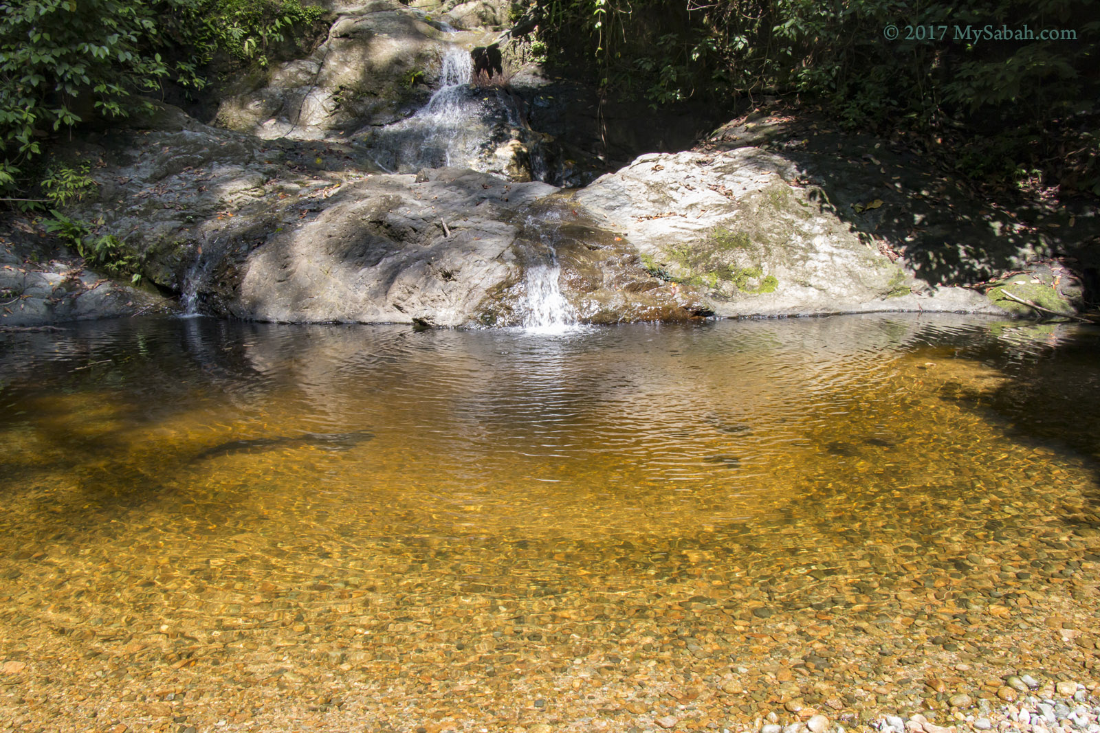
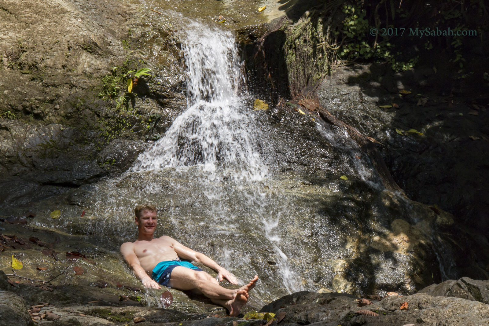
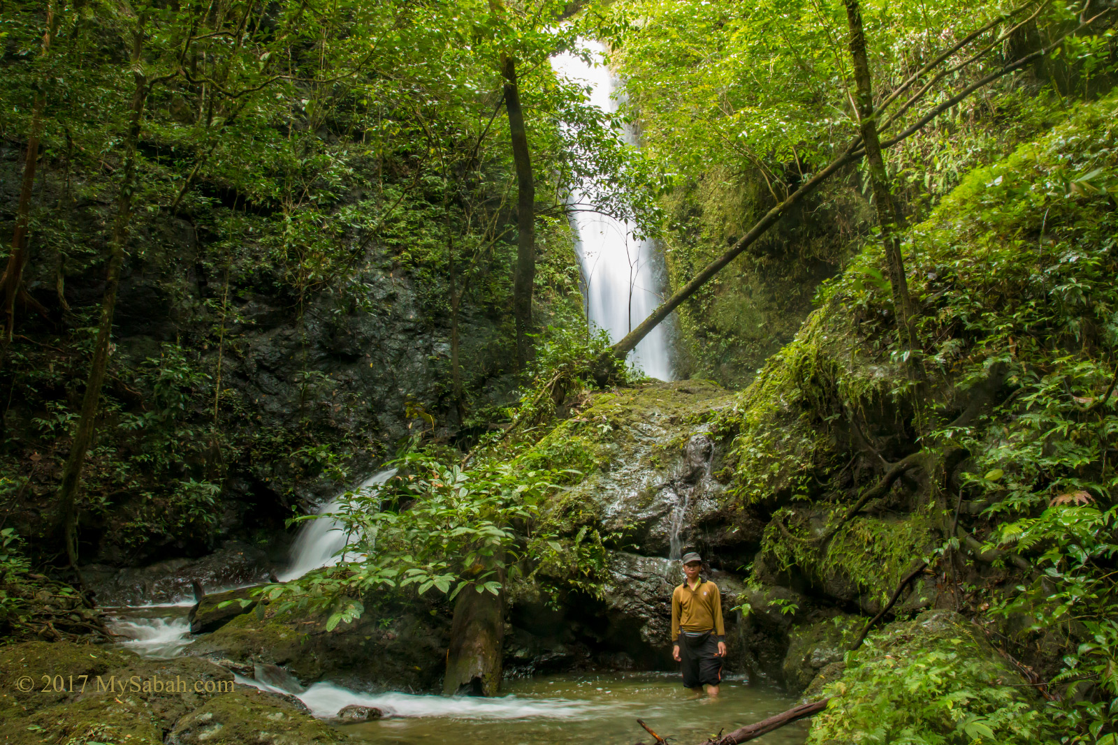
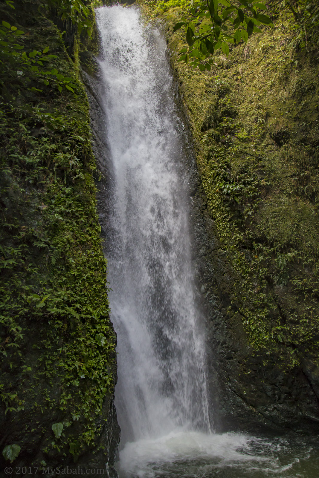
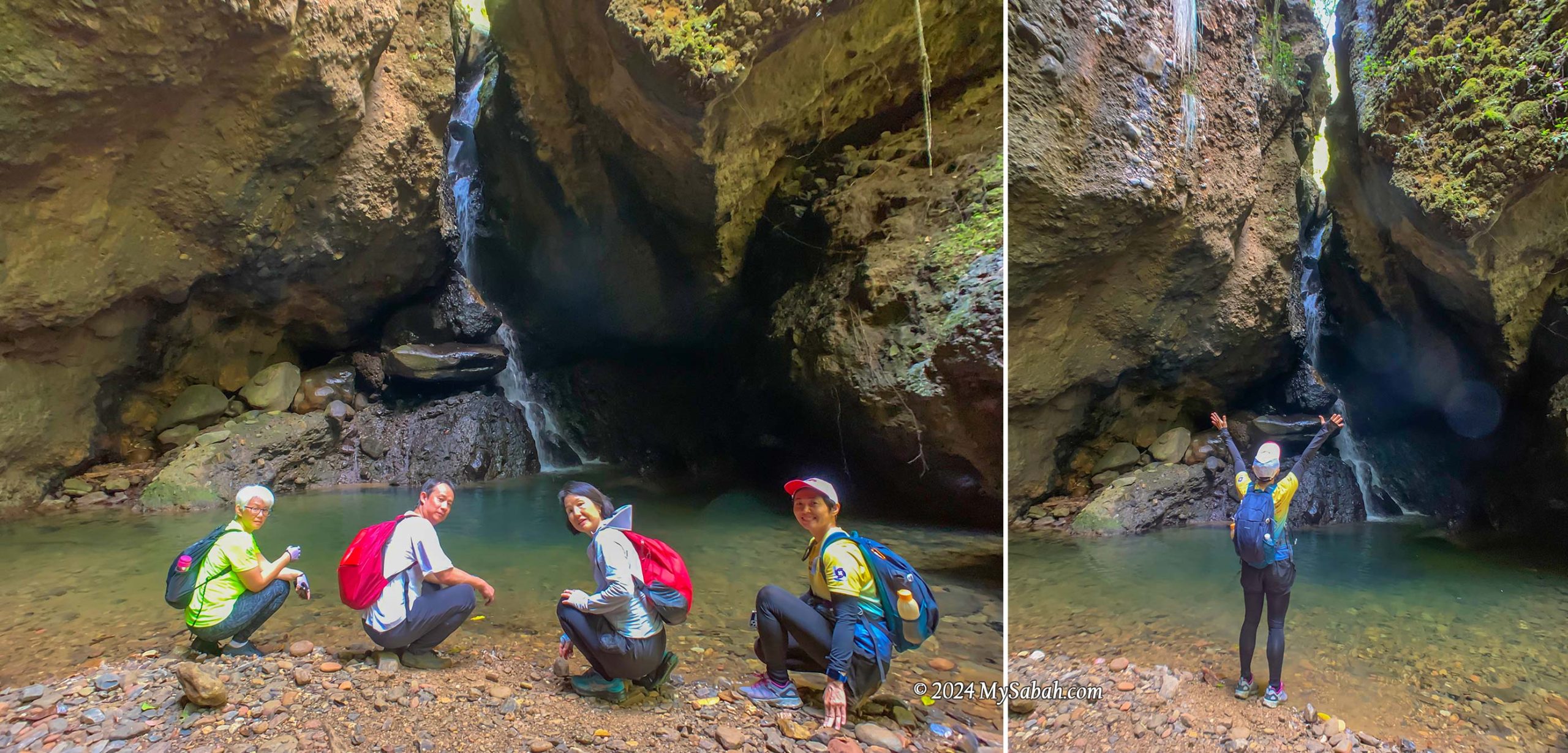
Waterfall Cave (Wasai ID Gua)
Each cave here holds its own surprises, and this one didn’t disappoint, featuring a hidden waterfall. No matter how scorching the day, this cooling cave provides the perfect refuge. With numerous caves and pristine water sources, I can’t help but wonder if cavemen once called this place home. To top it off, this cave even boasts a pond teeming with fishes.
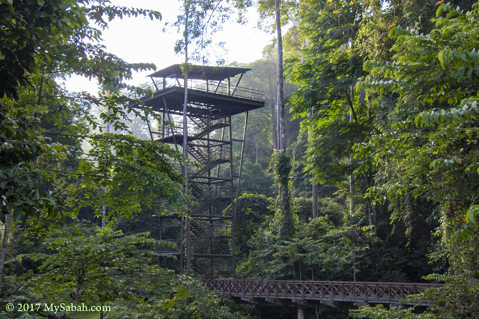
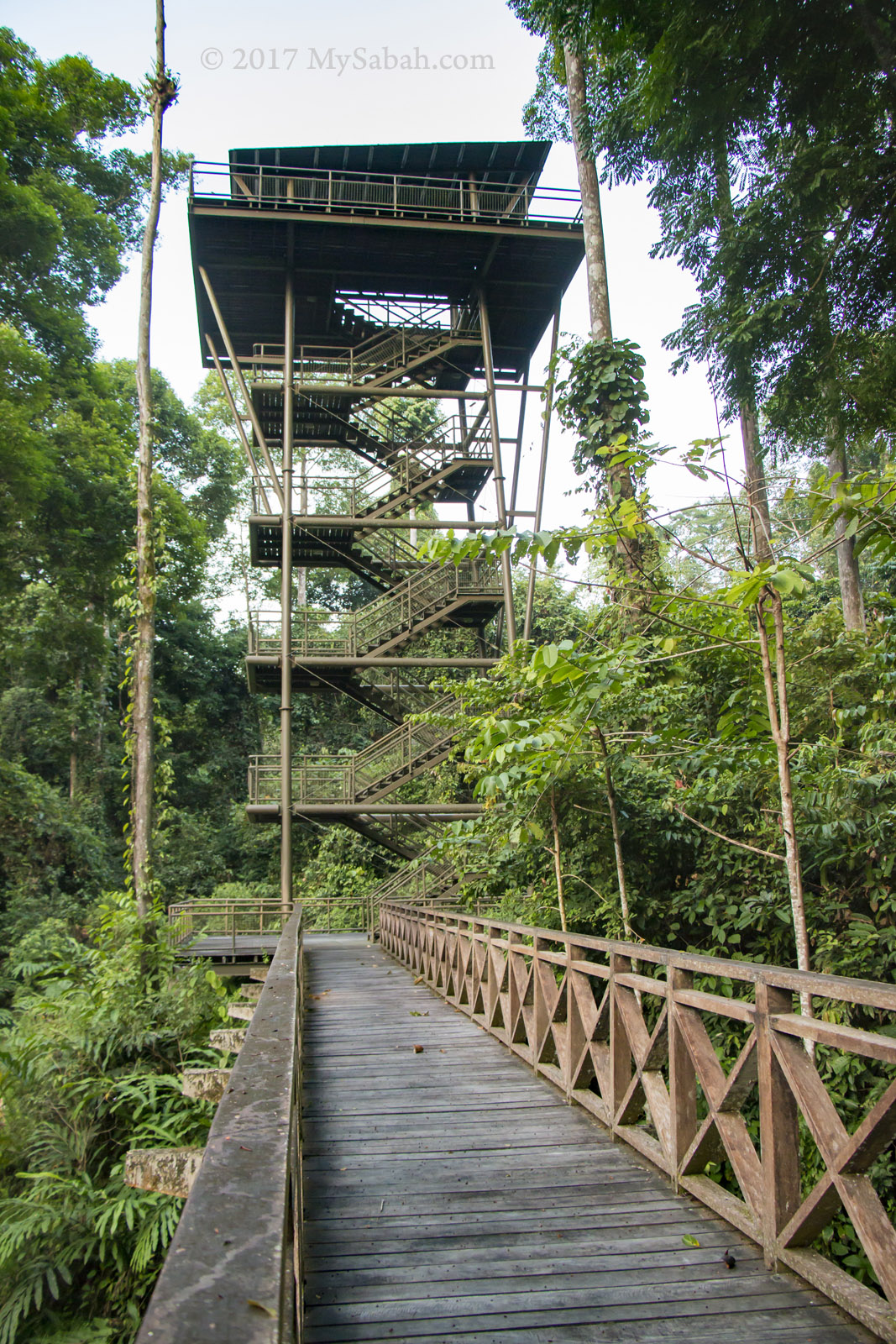
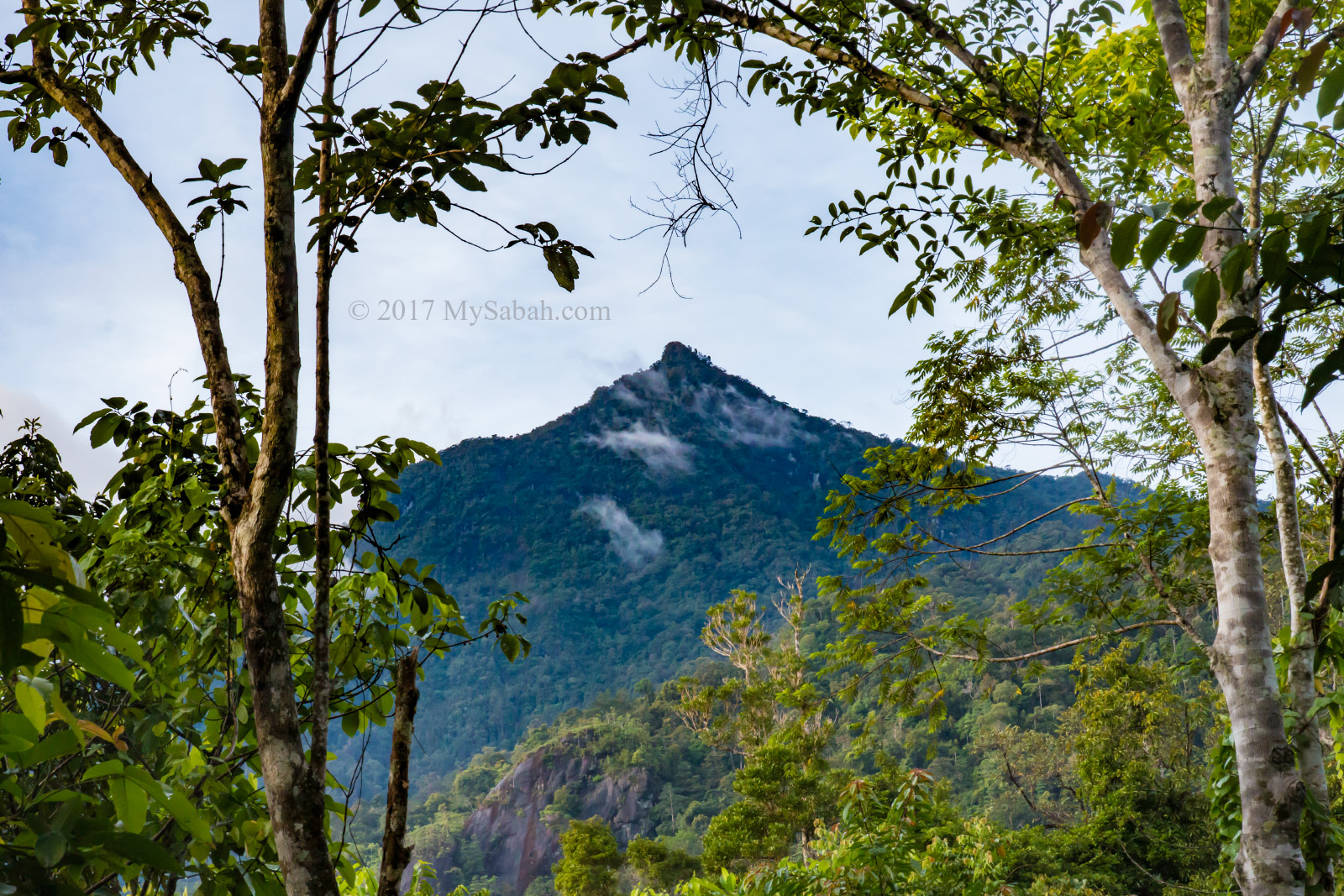
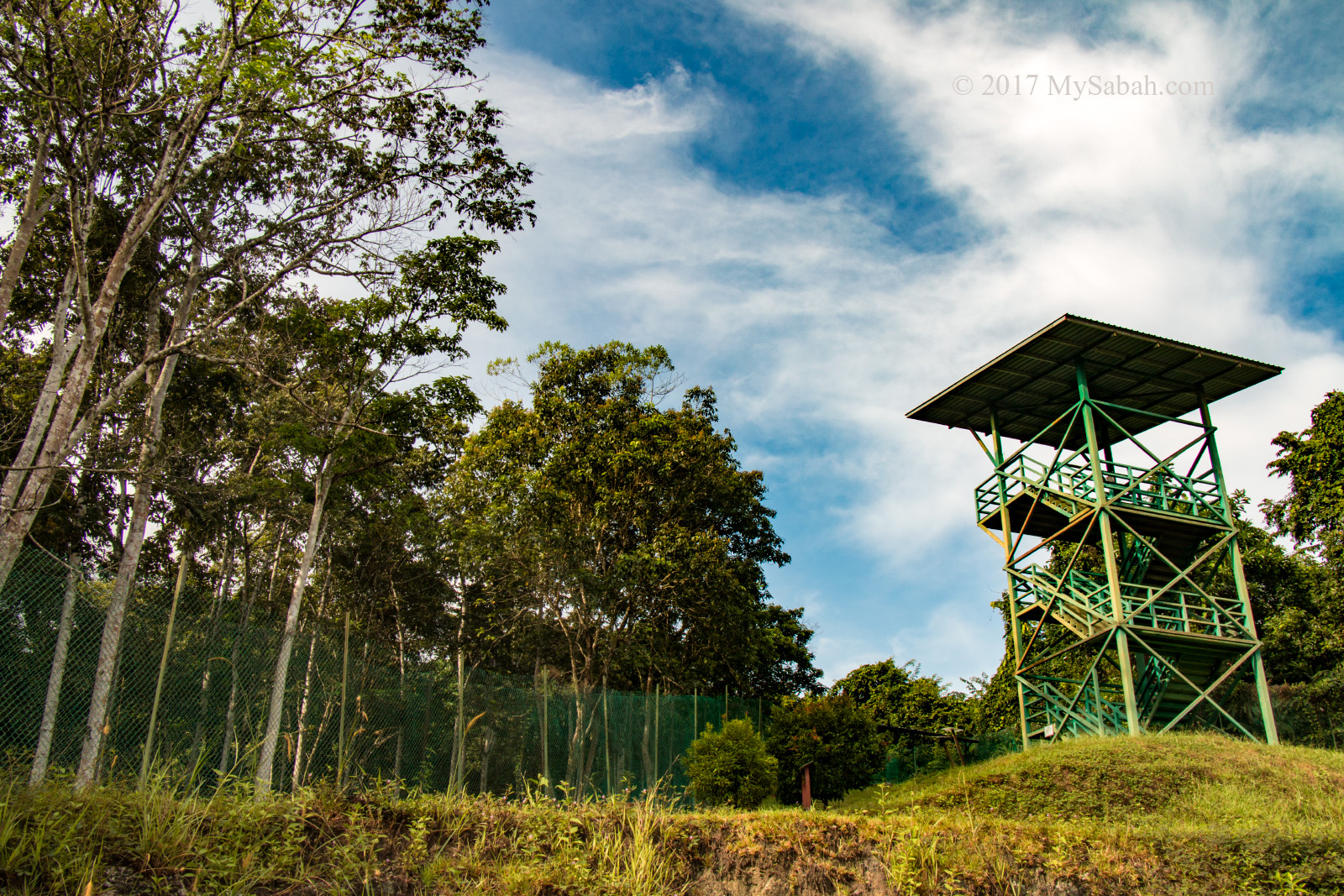
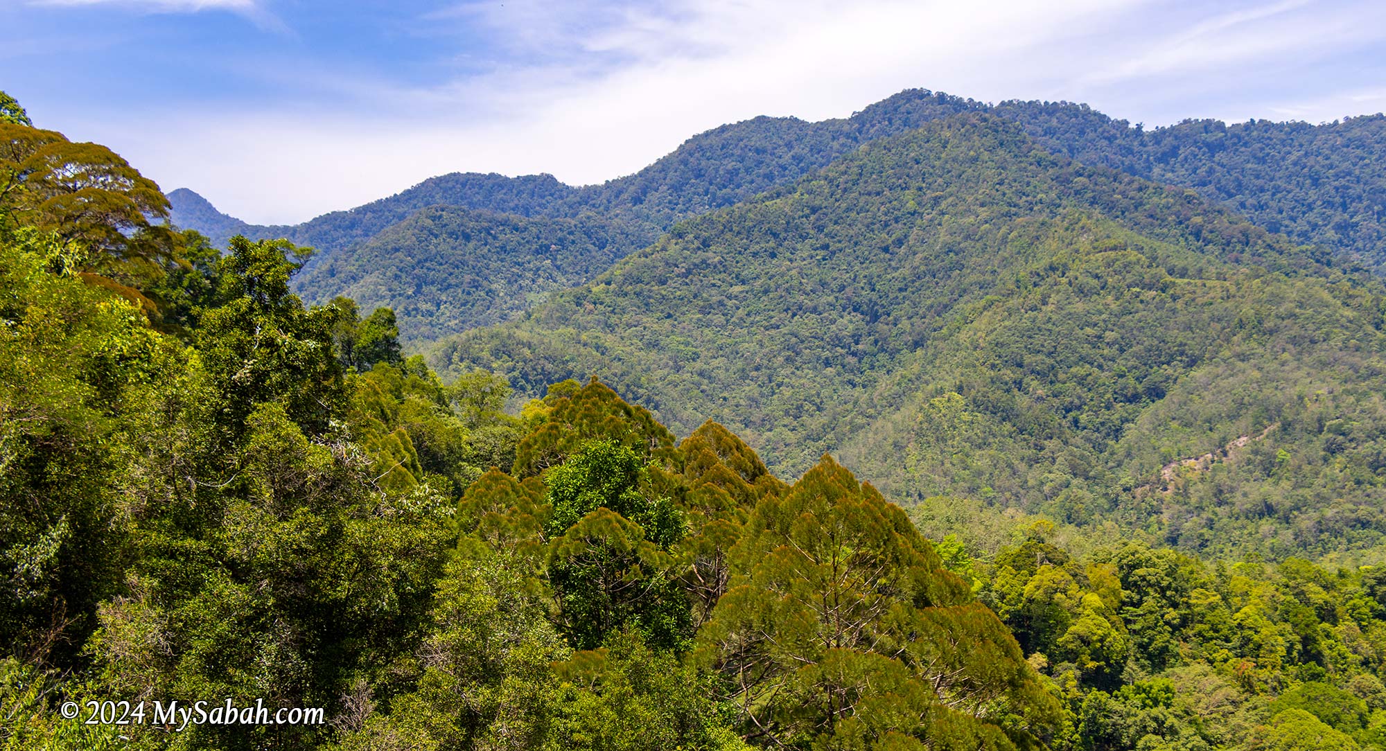
Lookout Point (Pogimpaan Ko-Duo)
Ok enough with dark caves, next we ascended higher ground where a viewpoint platform awaited. The sight of the lush forest and rolling hills was simply breathtaking. The gentle breeze was incredibly calming, prompting us to pause for a snack break on the wooden platform. It’s about 11am so we were a bit hungry.
Marathon Trail via Rock Walls
Following a short rest, we headed down to the valley, tracing our path alongside rock walls. Among the rugged conglomerate formations, I spotted creamy rock walls composed of granite. These walls, formed from solidified molten rock that intruded into the ancient sediments, serve as reminders of tectonic activities here.
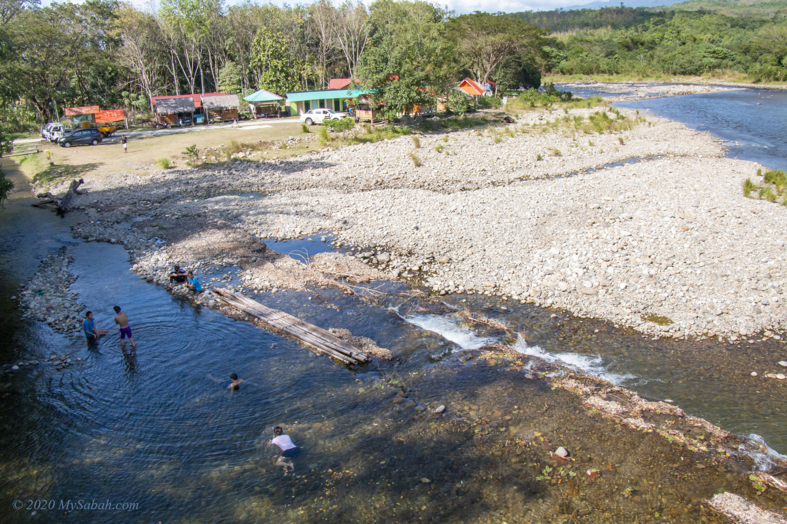
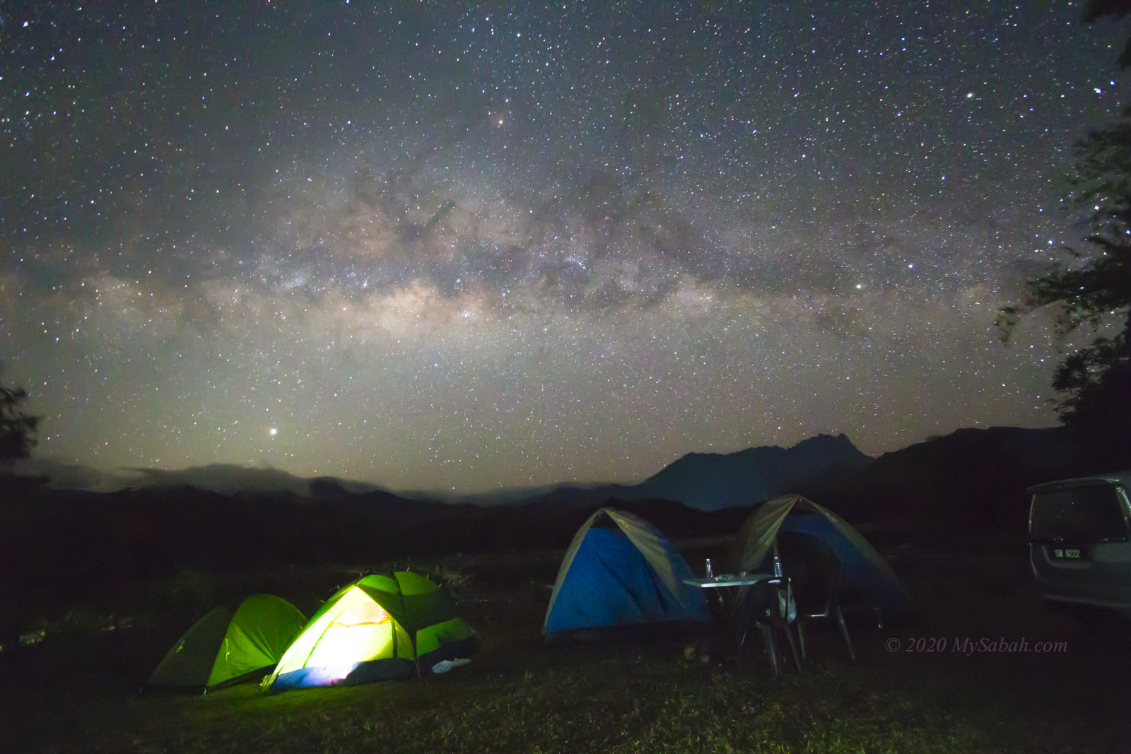
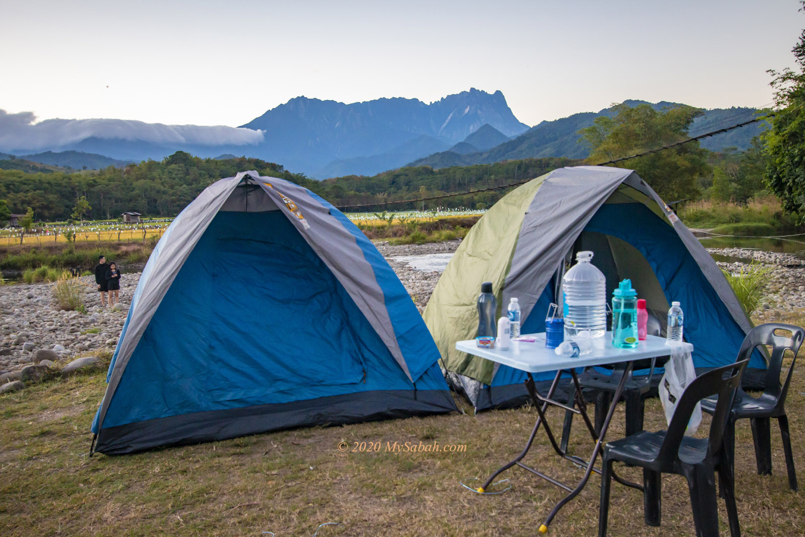
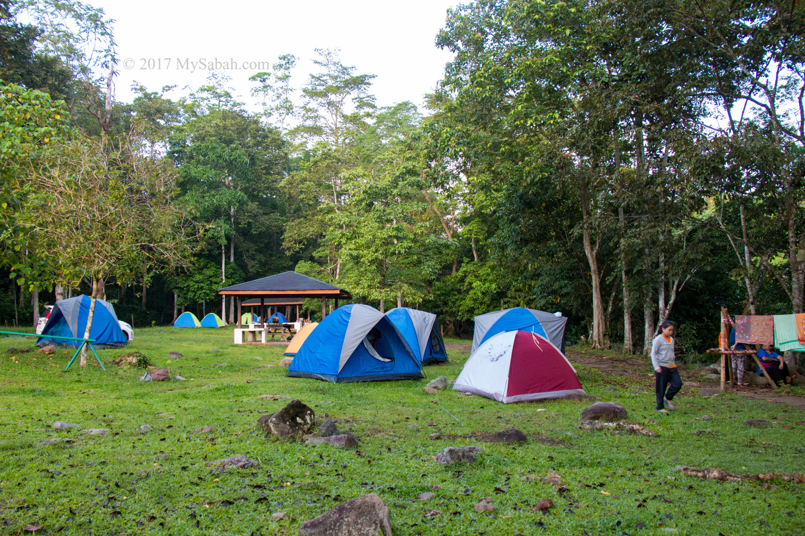
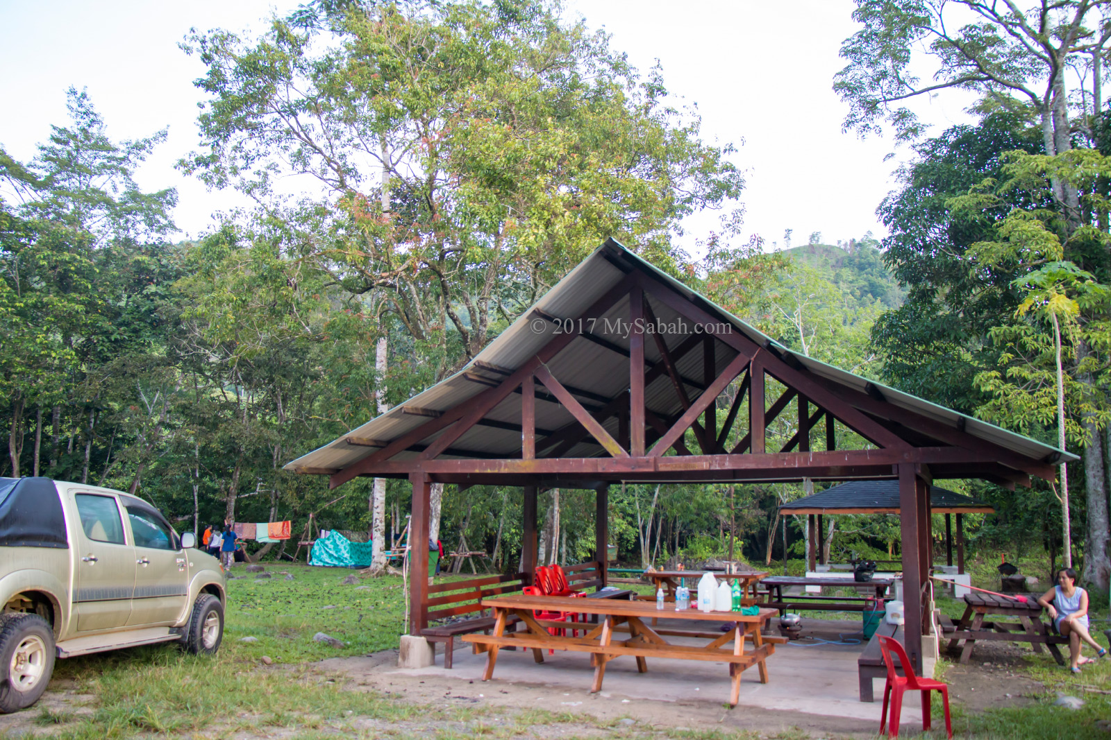
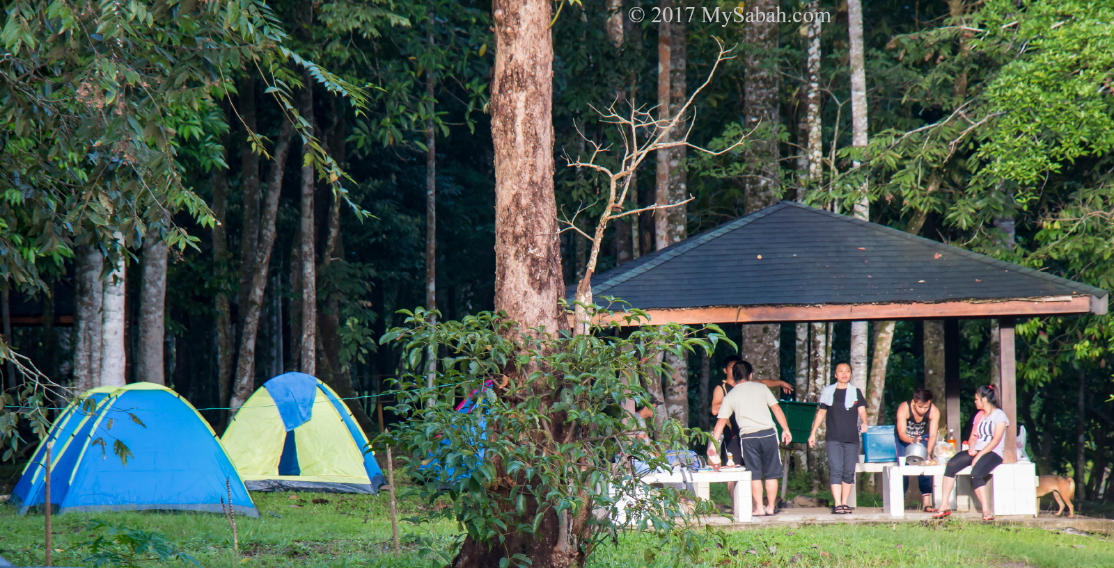
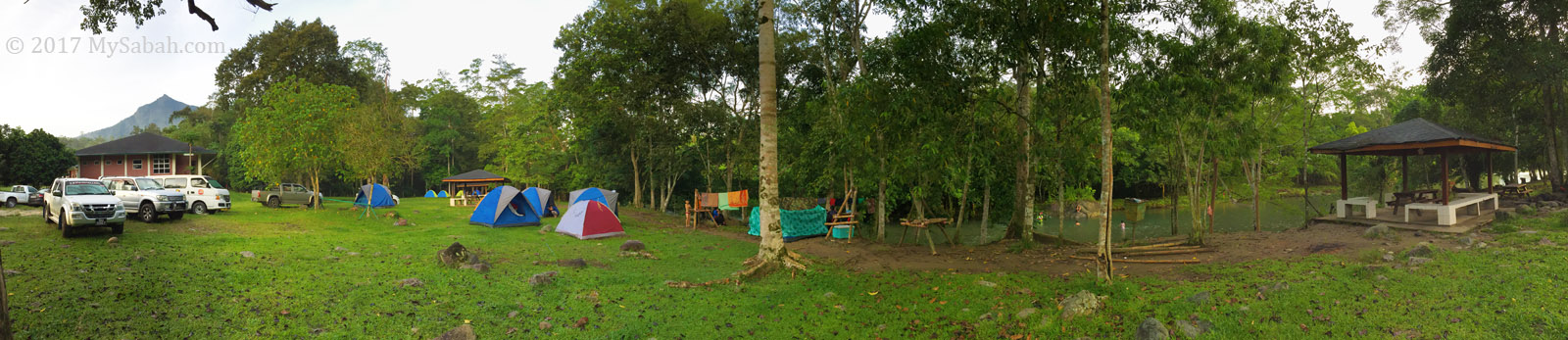
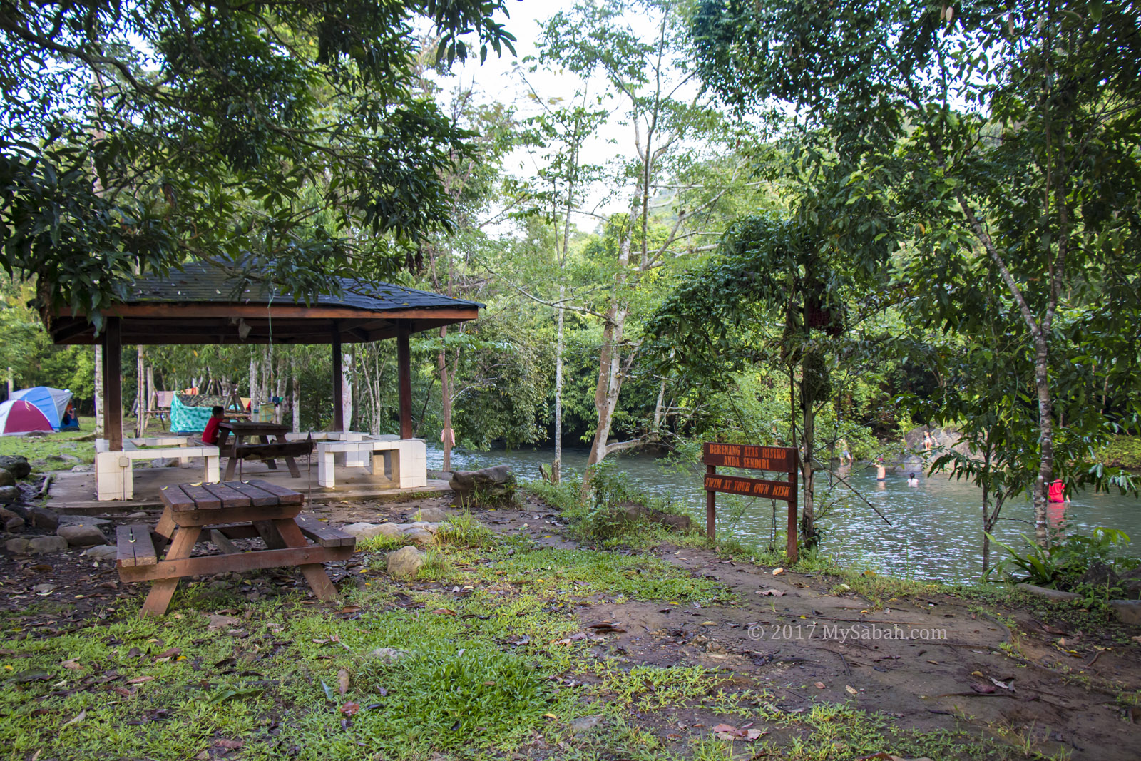
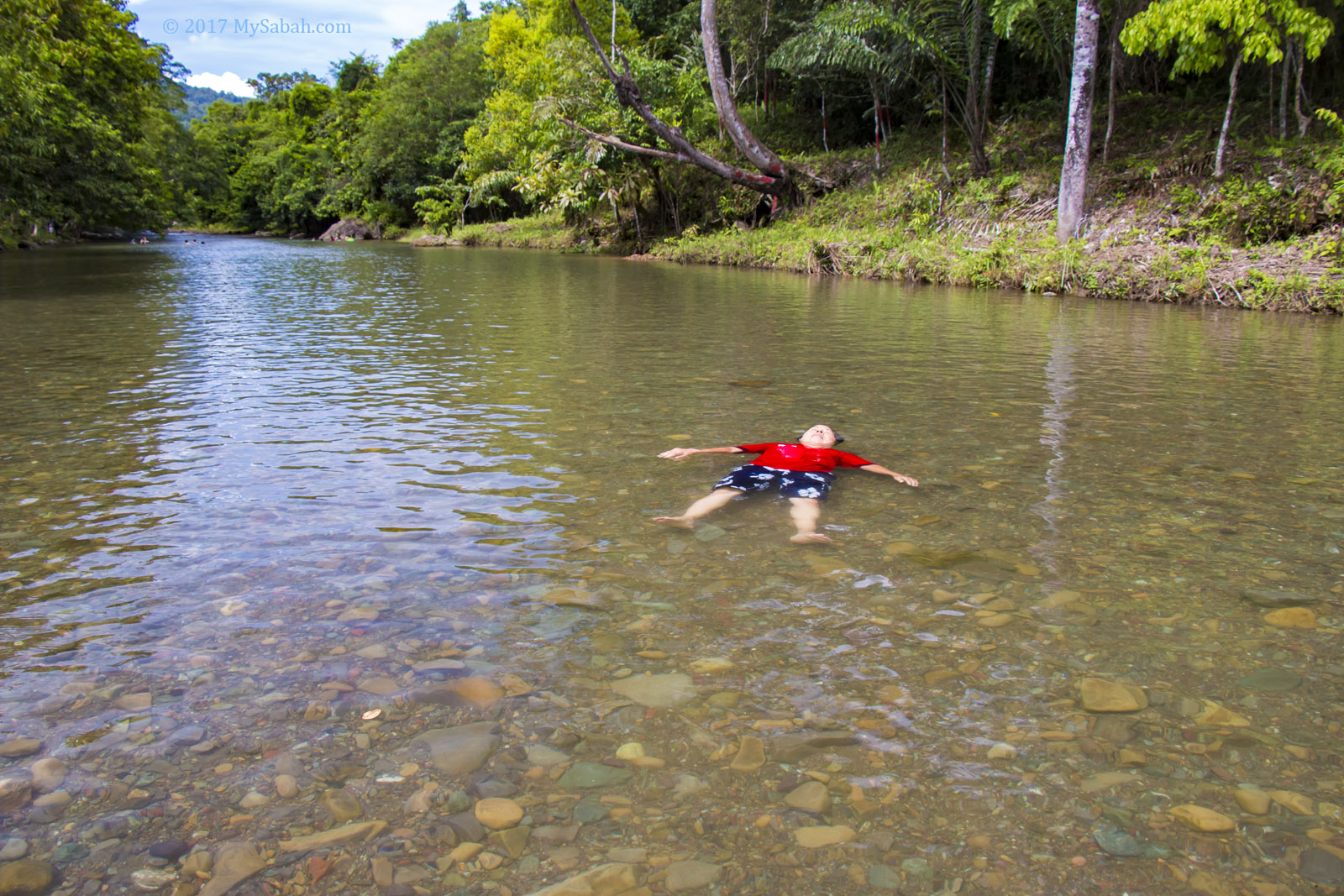
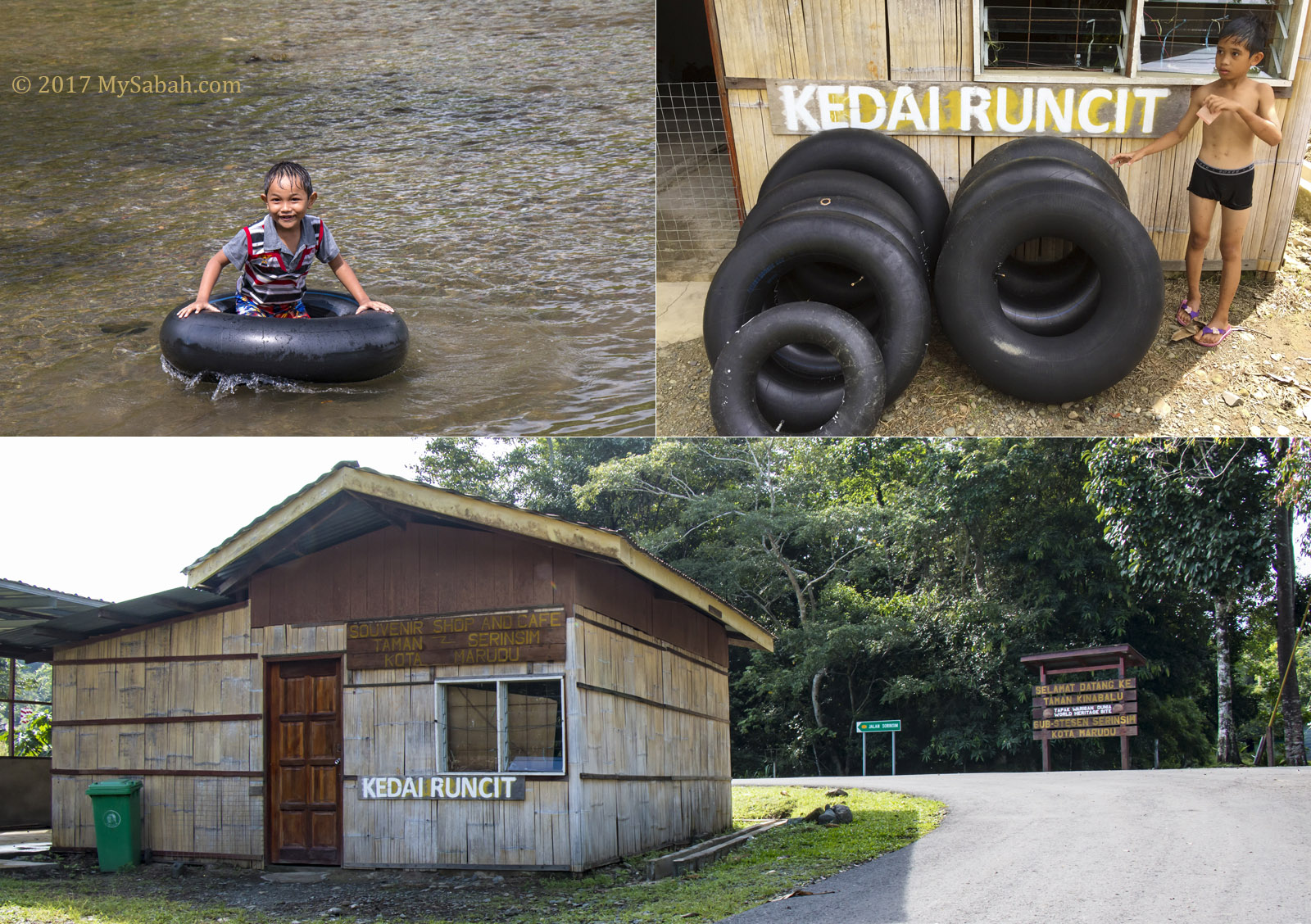
Riverside Camp
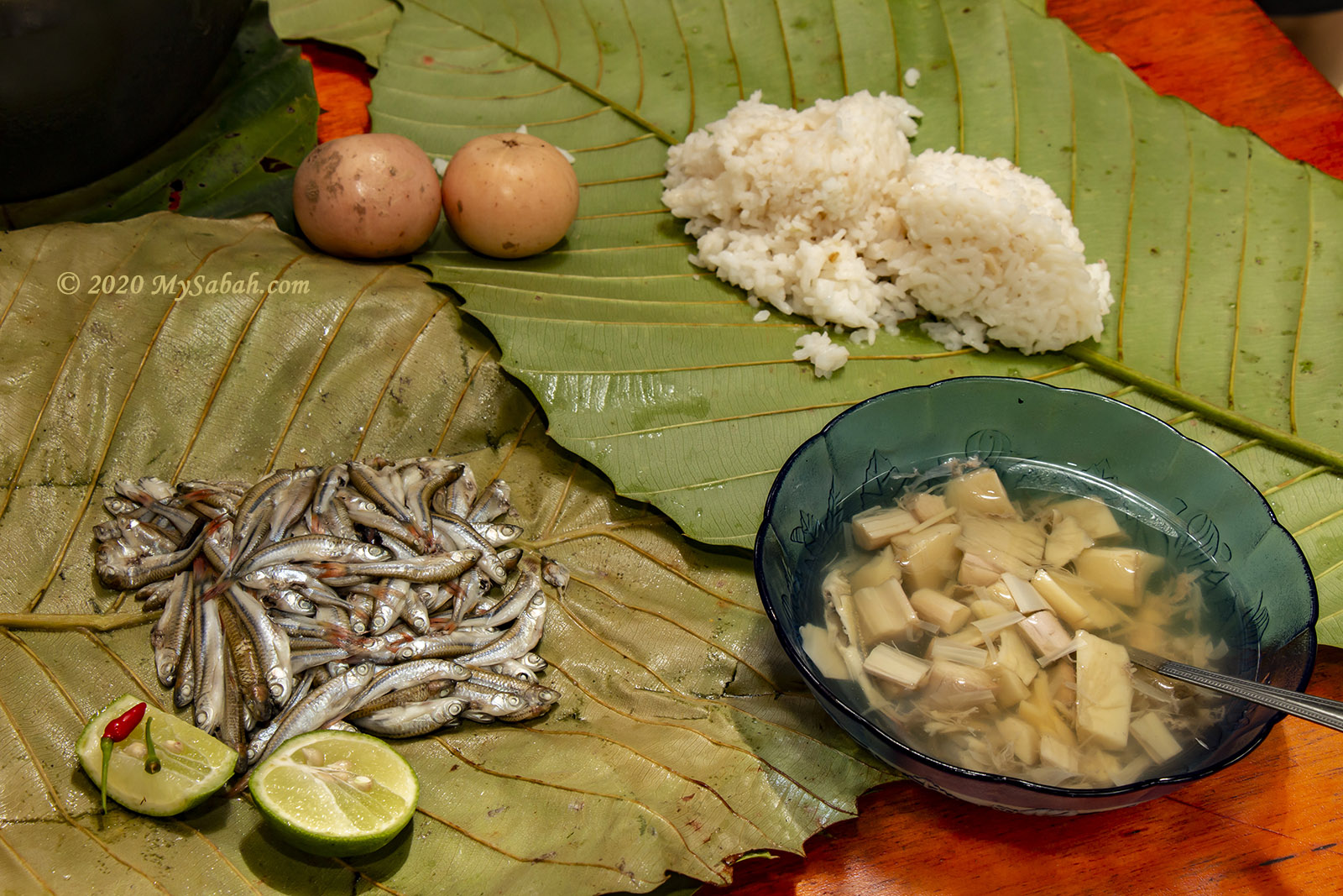
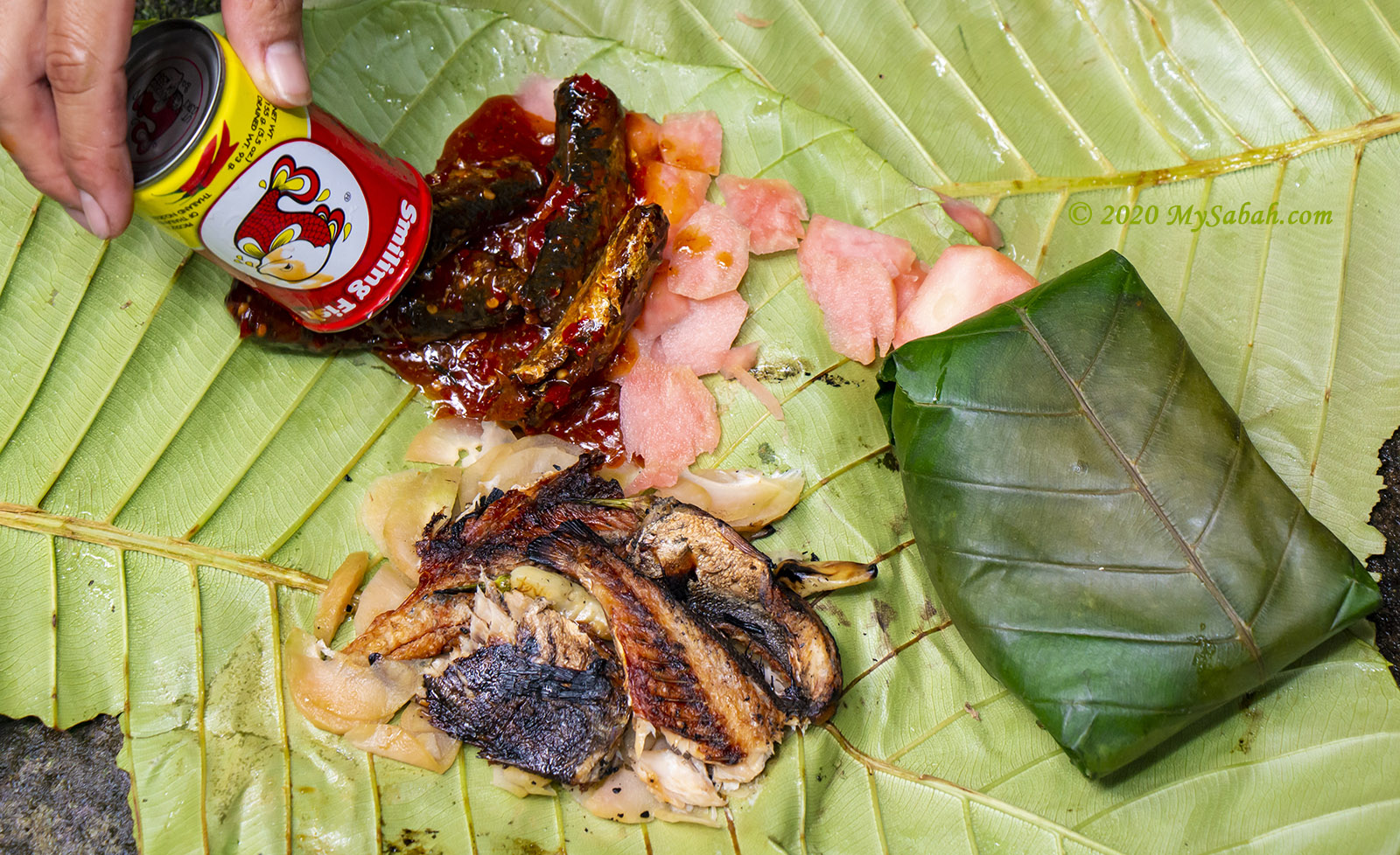
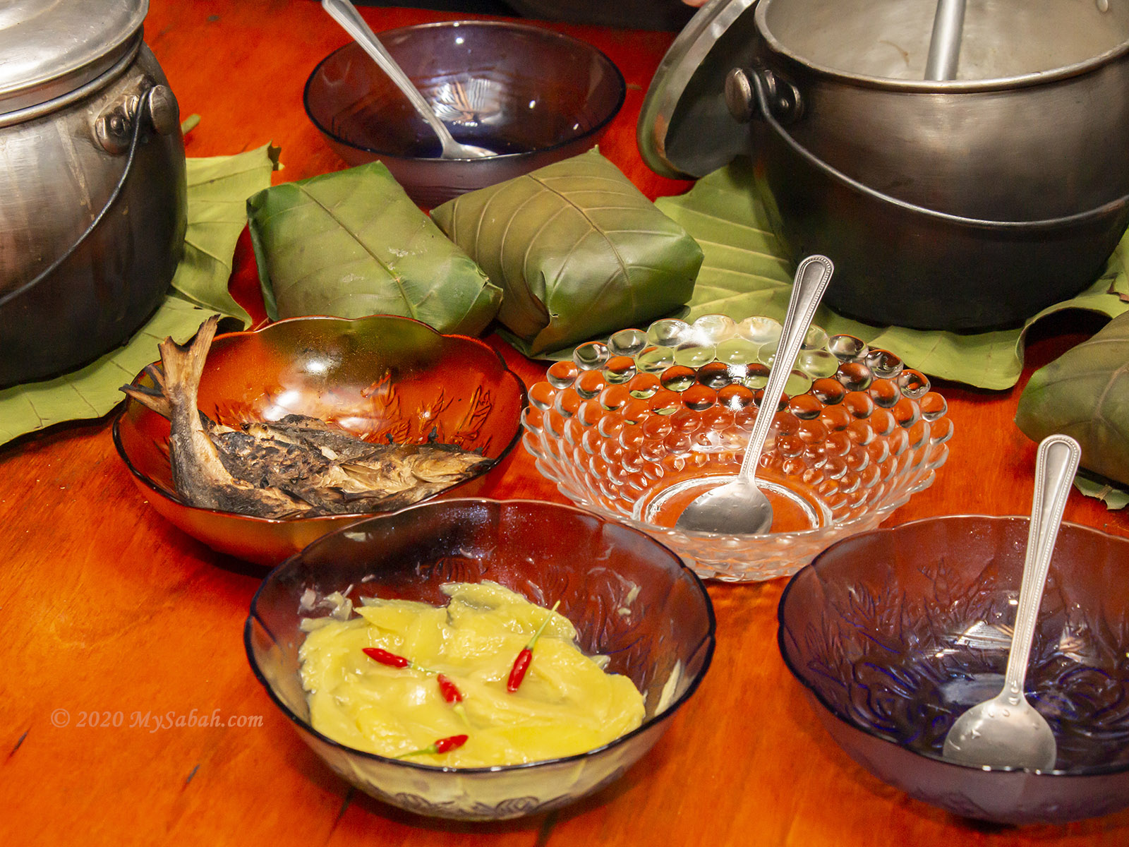
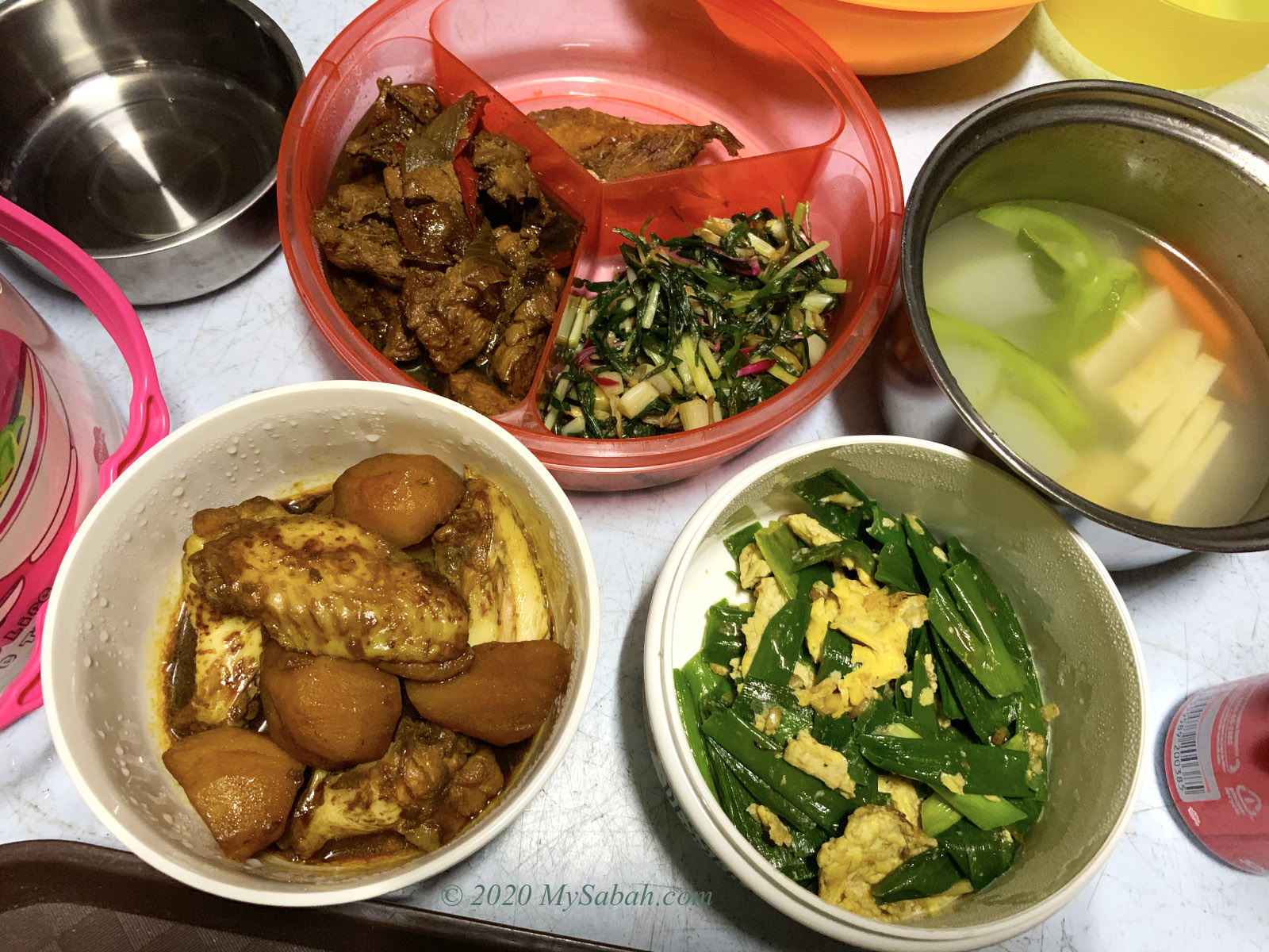
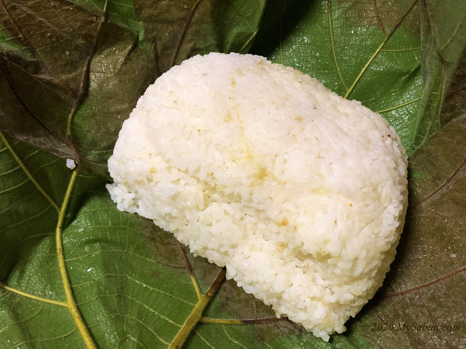
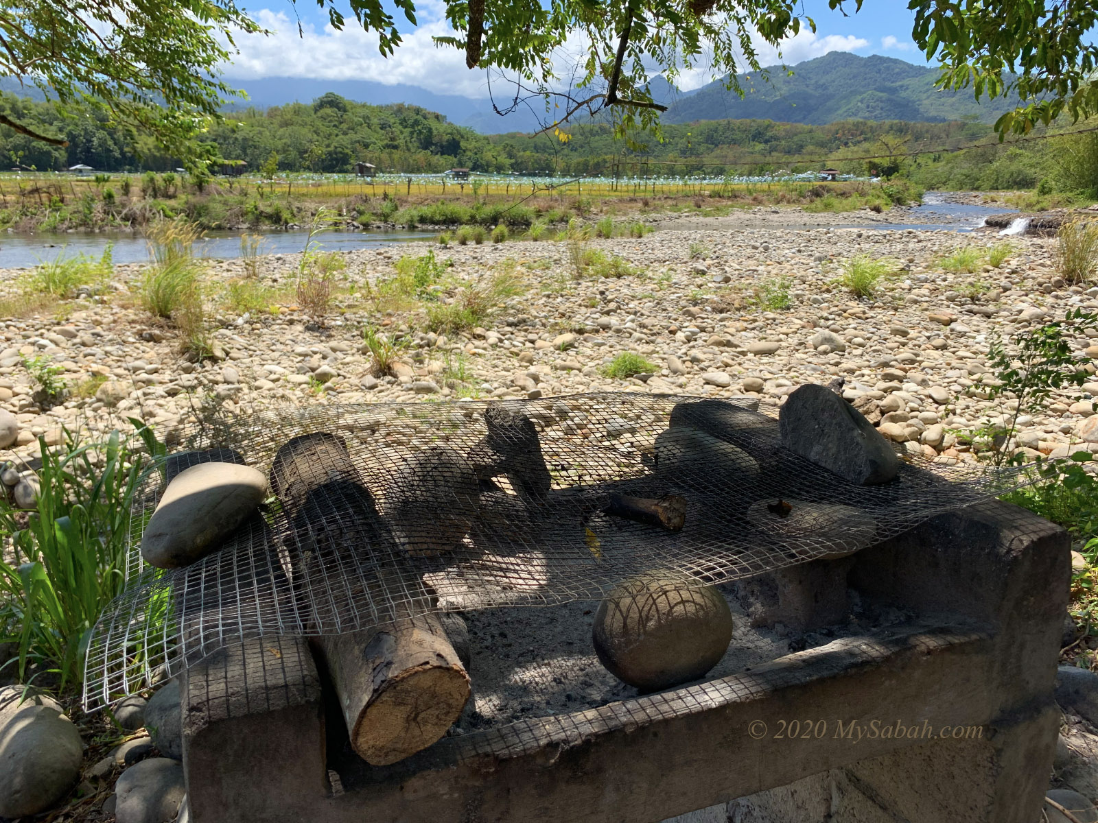
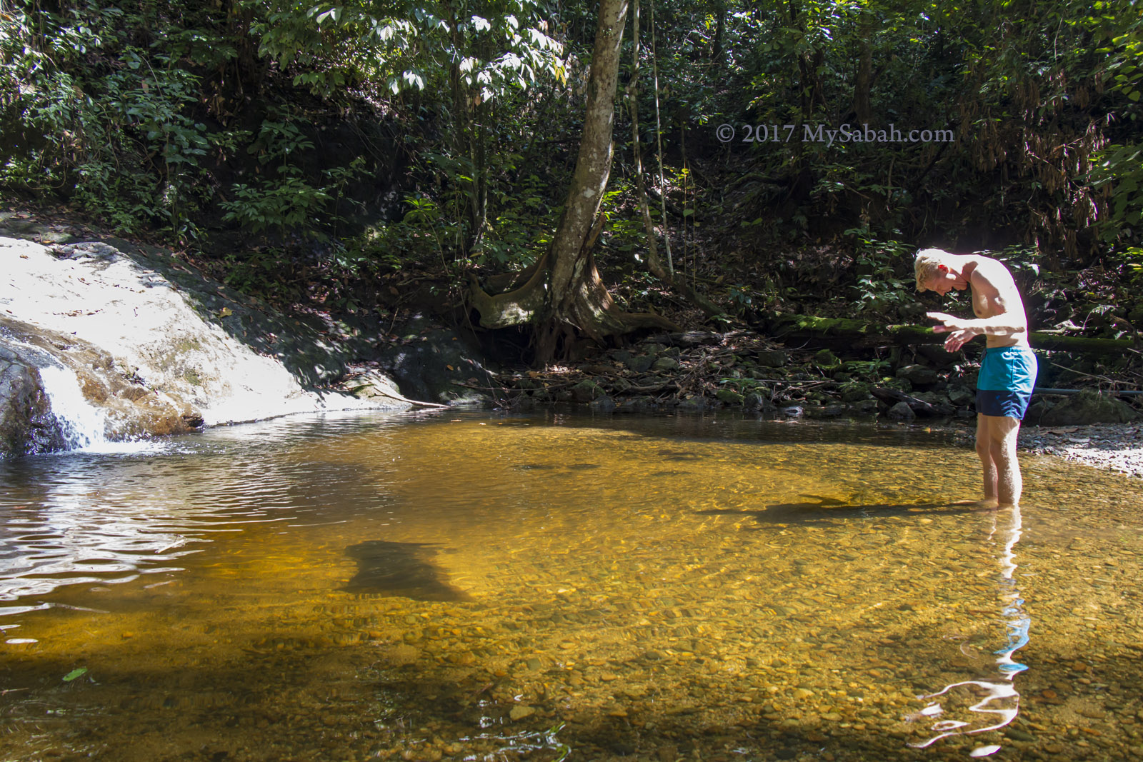
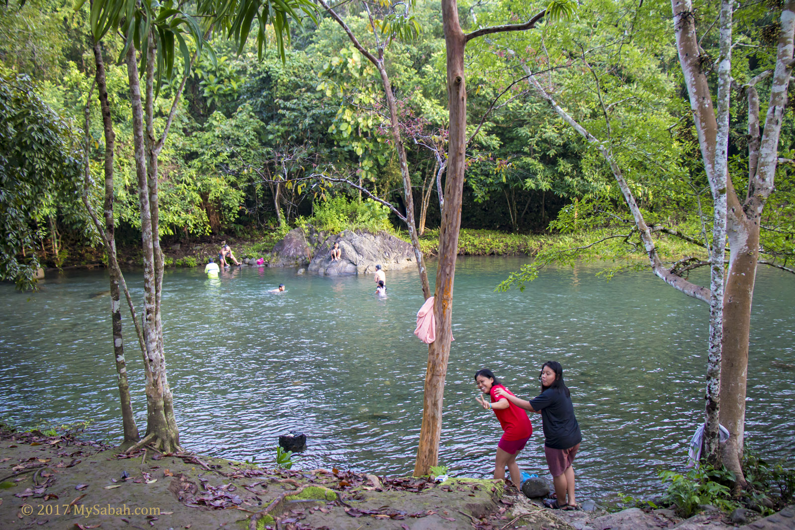
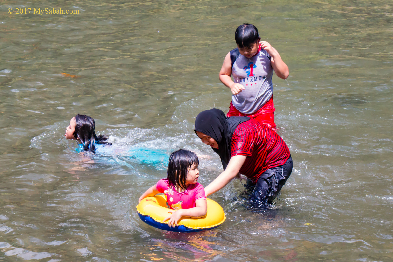
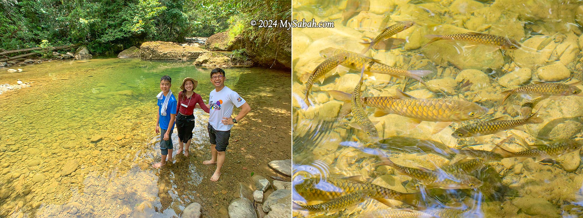
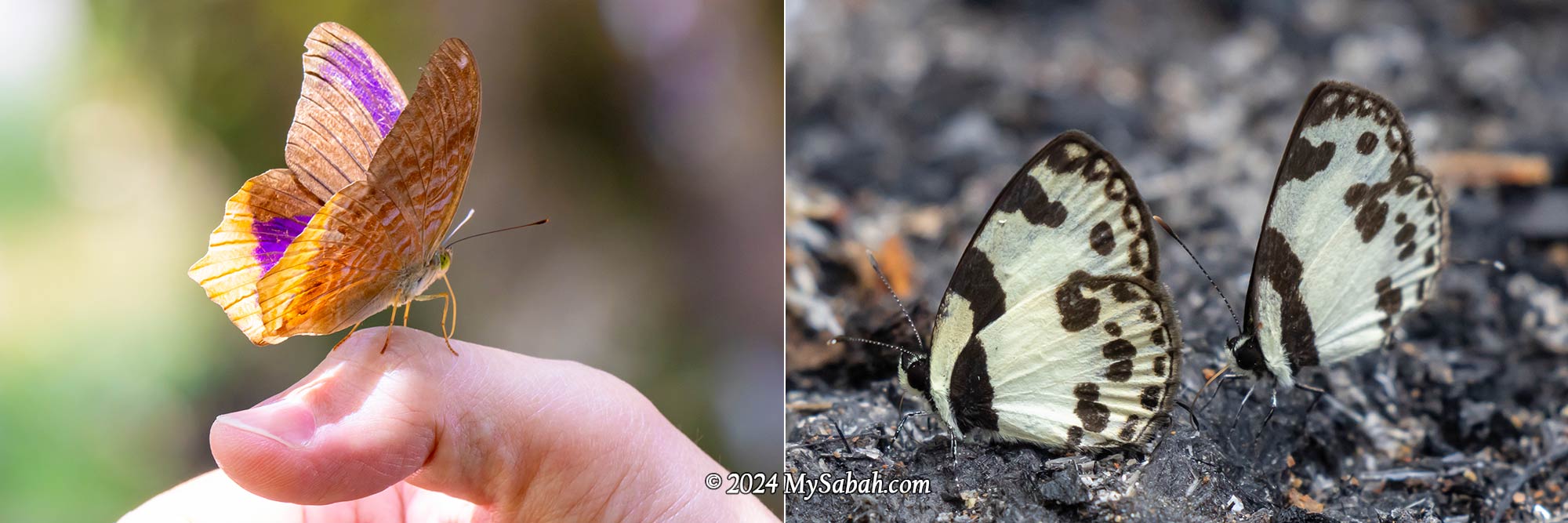
Finally, we reached the camp next to a tranquil river with a rocky bed, where we indulged in linopot lunch (rice wrapped in leaves). A few unique butterflies, including the iconic Rajah Birdwing, fluttered about the riverbank. This spot offers camping, swimming, and tubing activities, and you can throw a BBQ party.

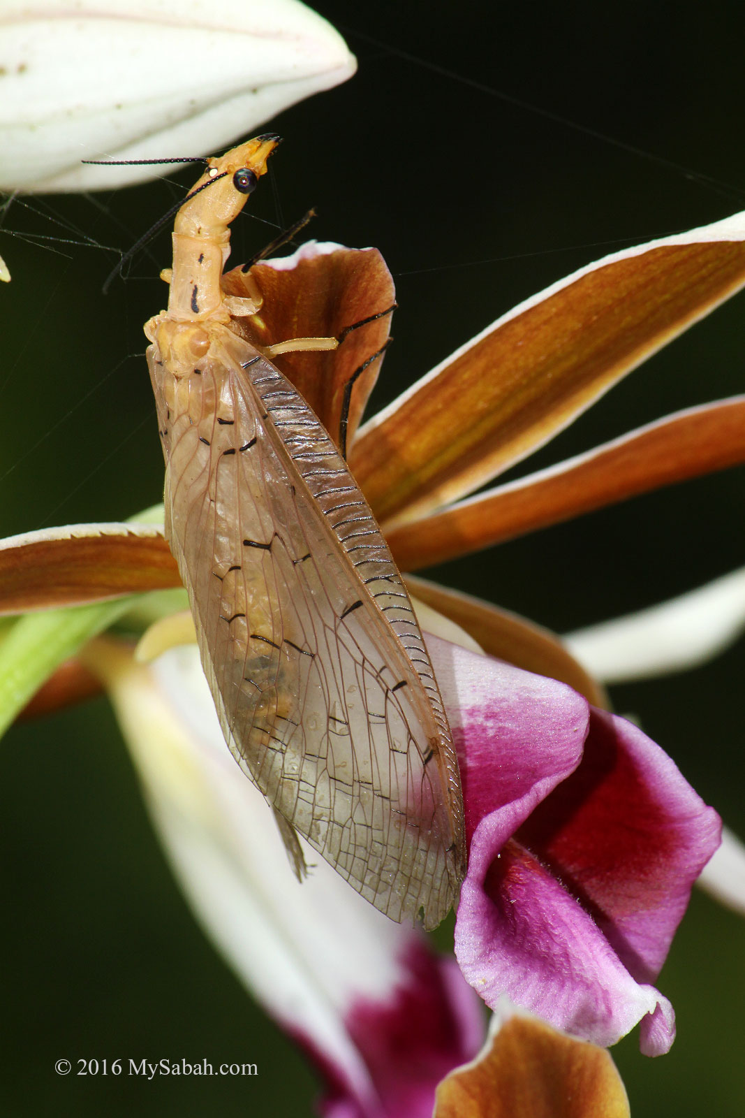
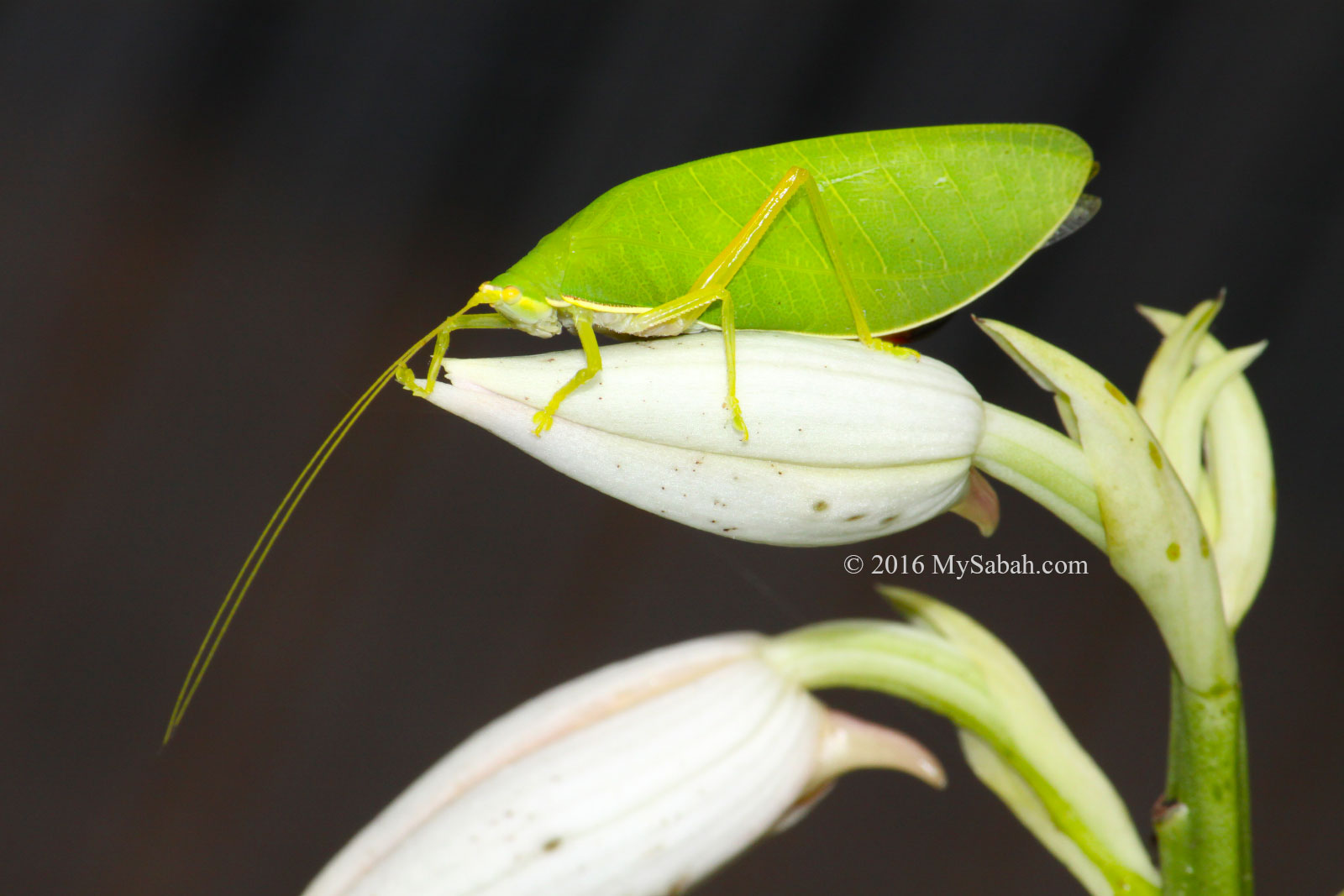
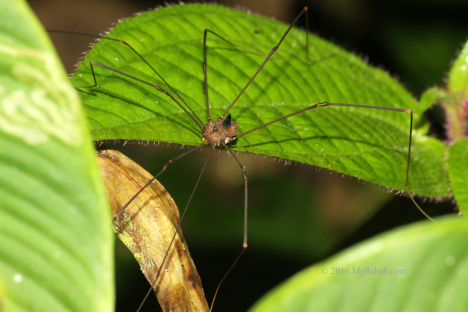
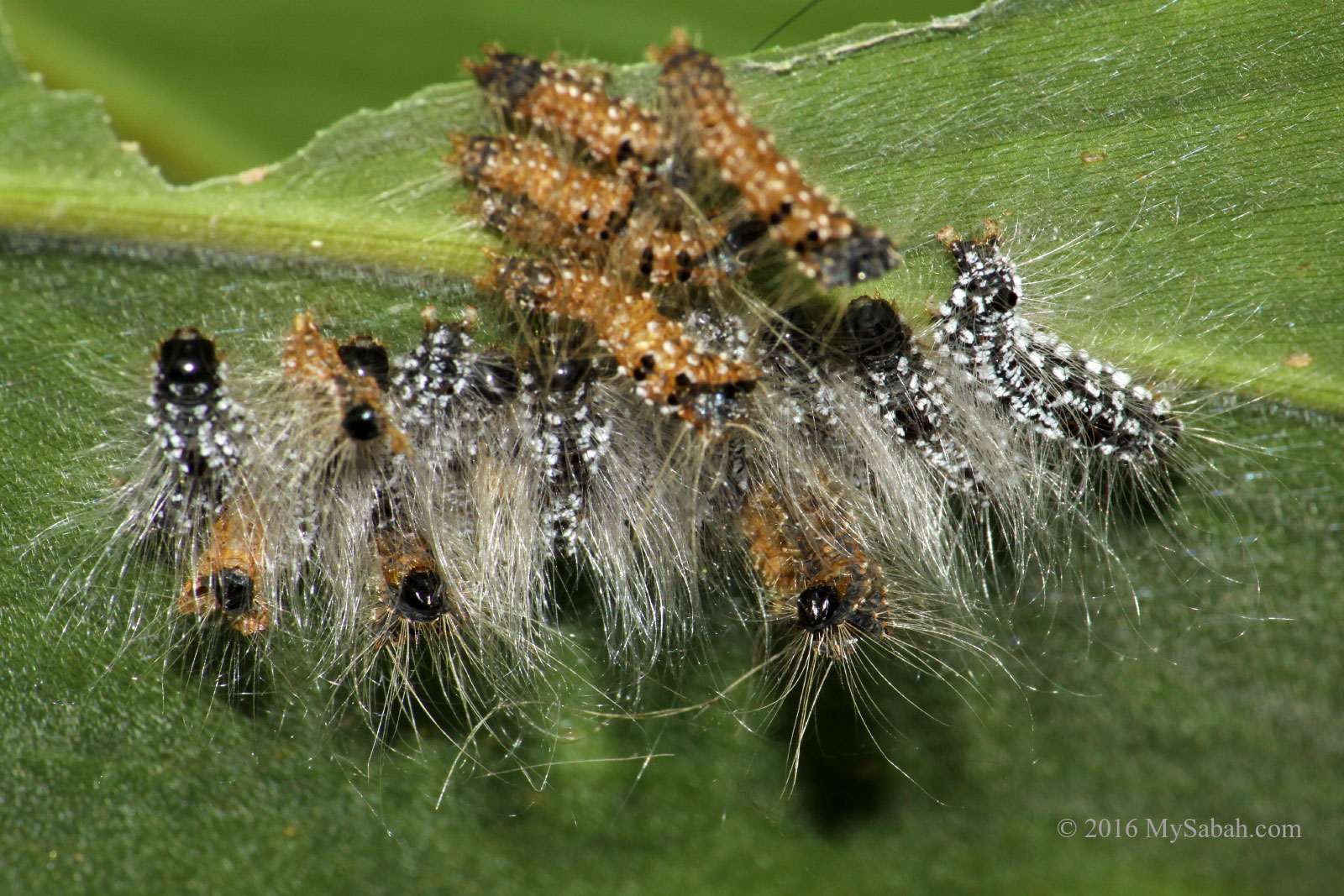
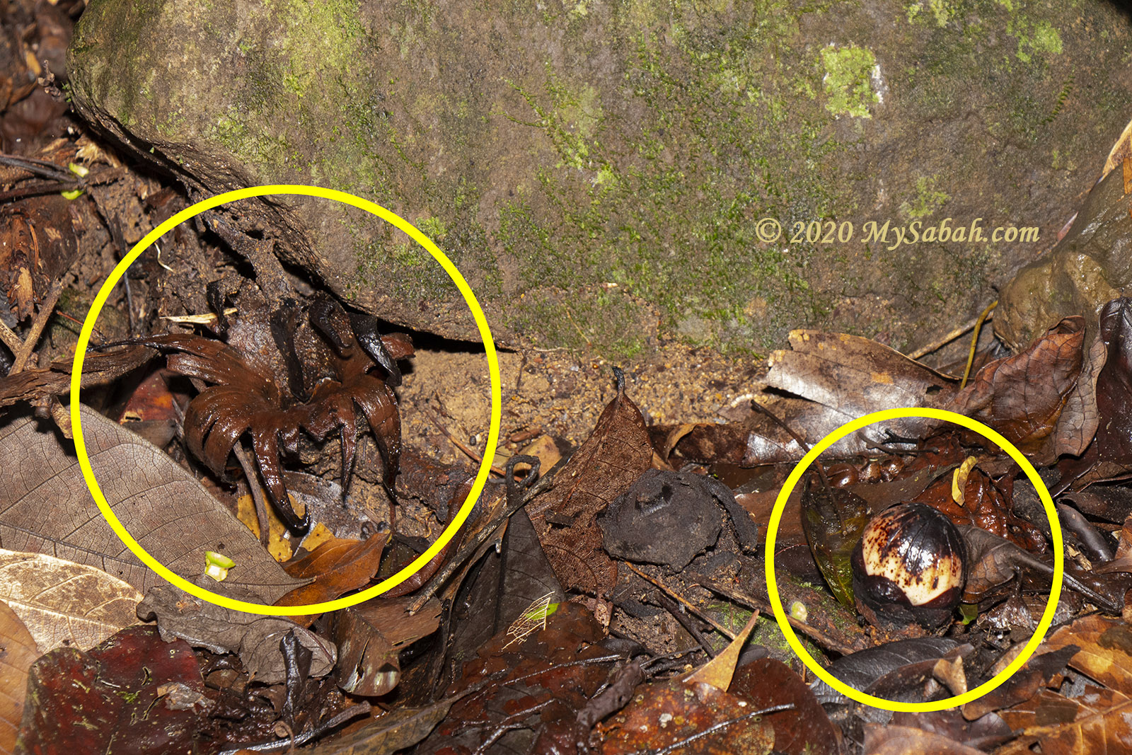
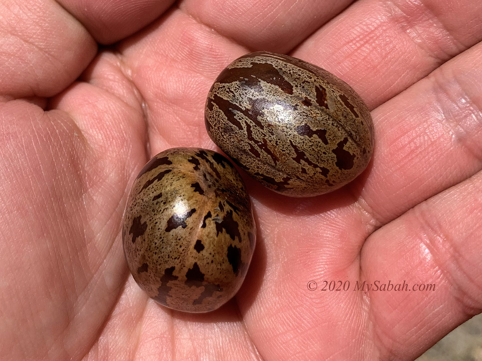
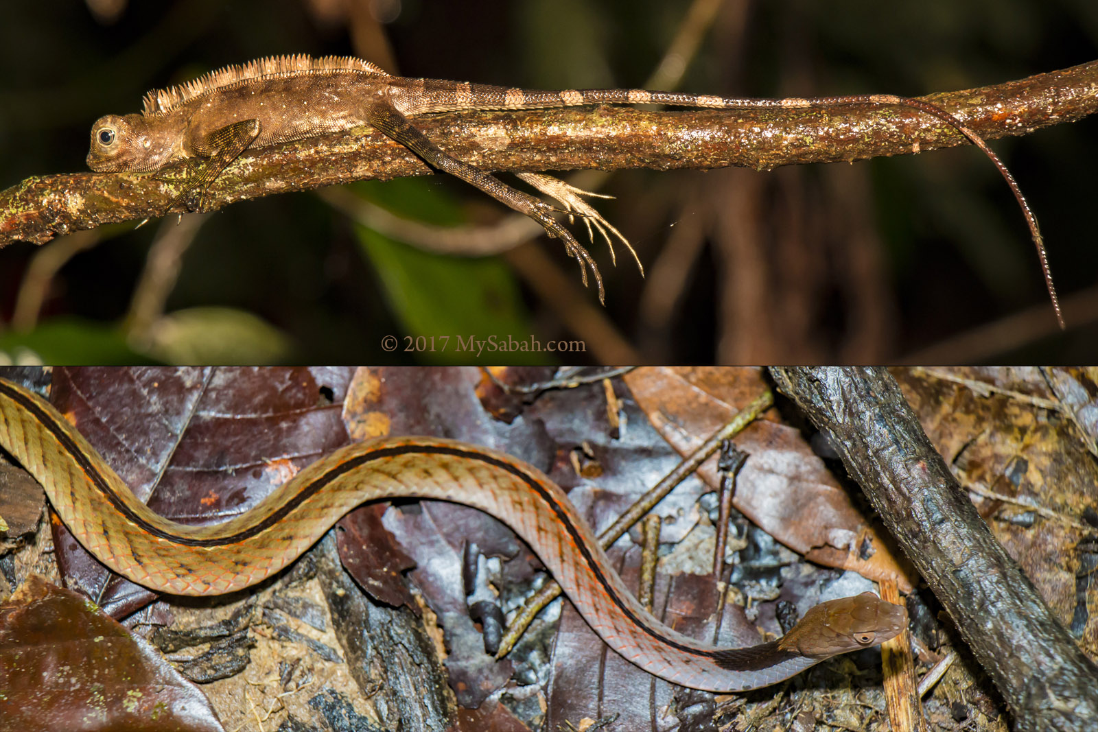
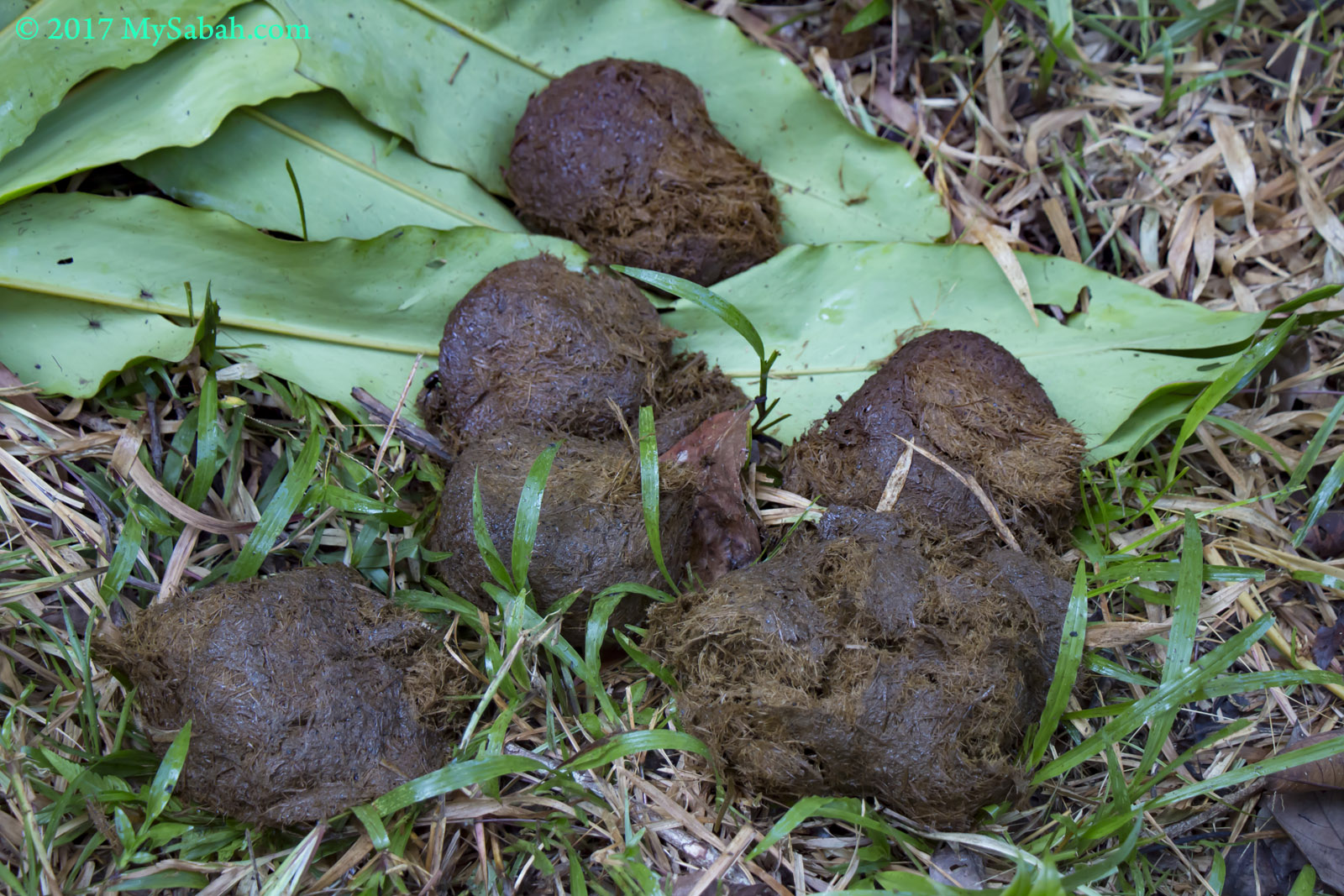
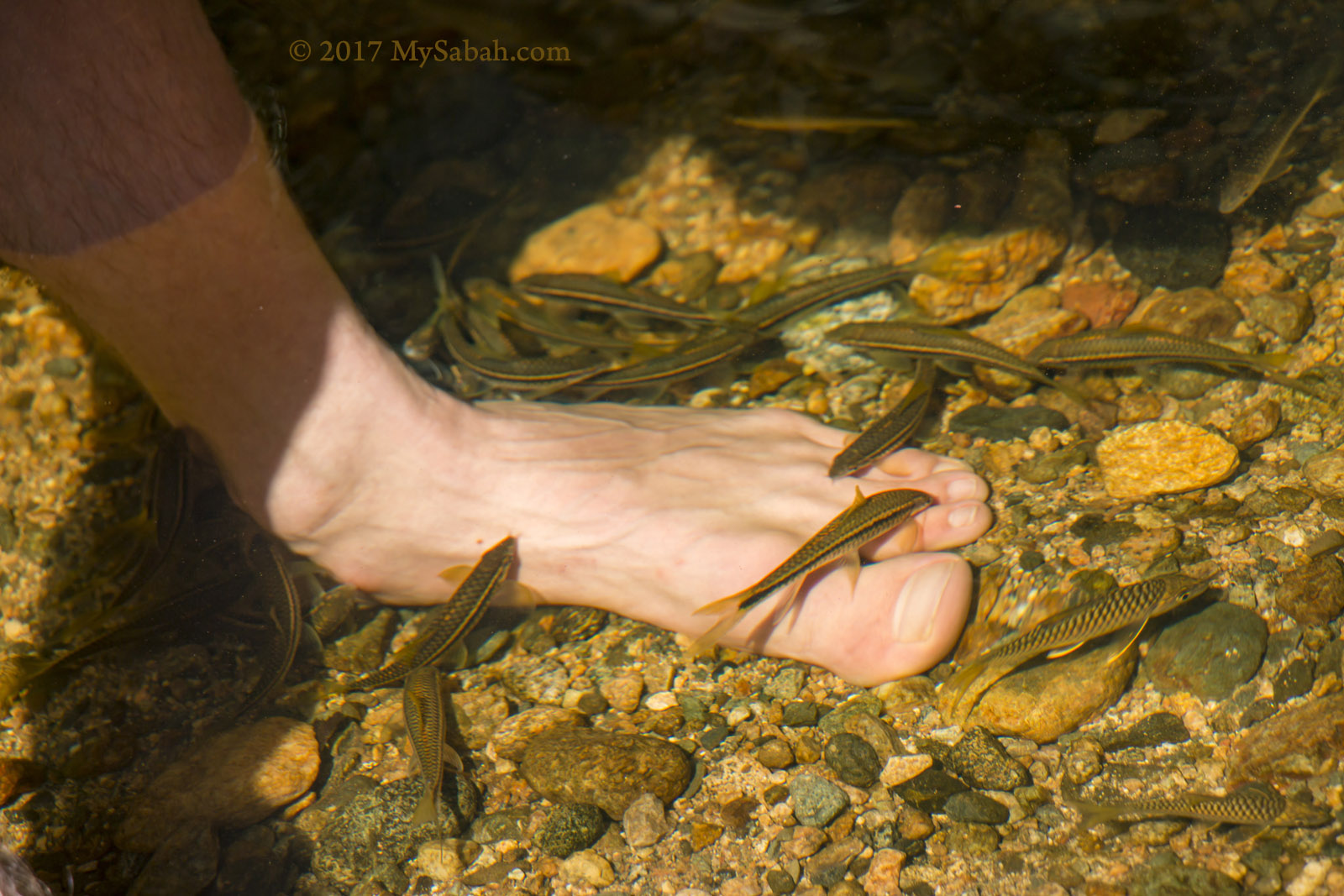
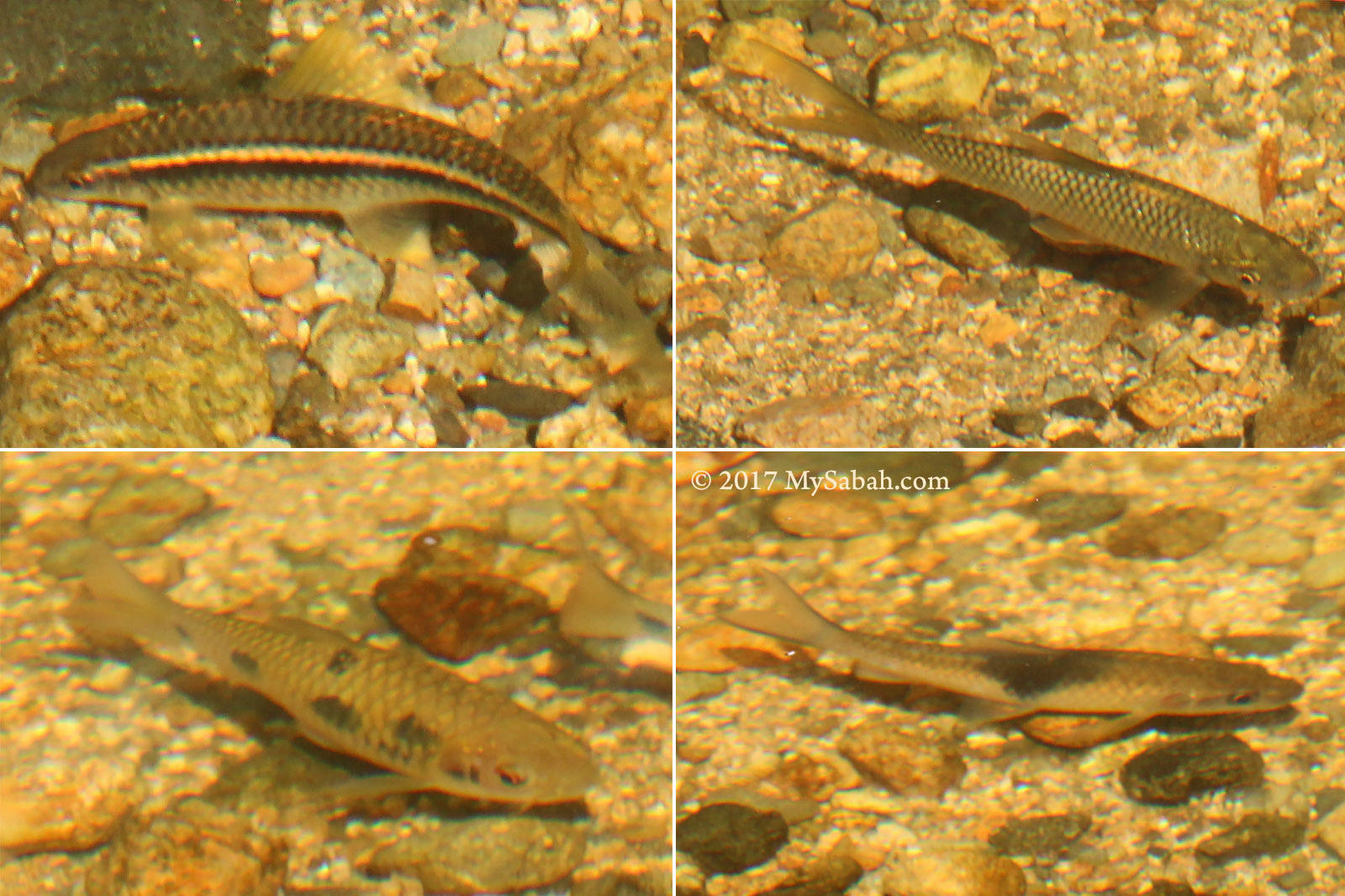
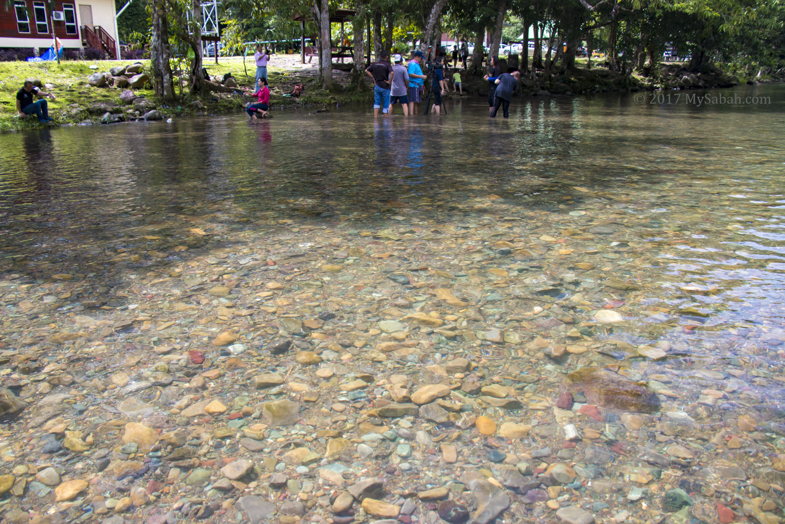
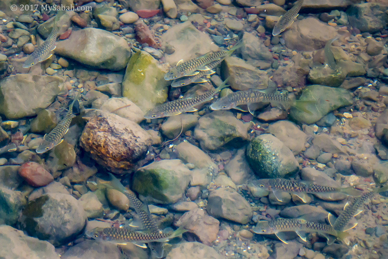
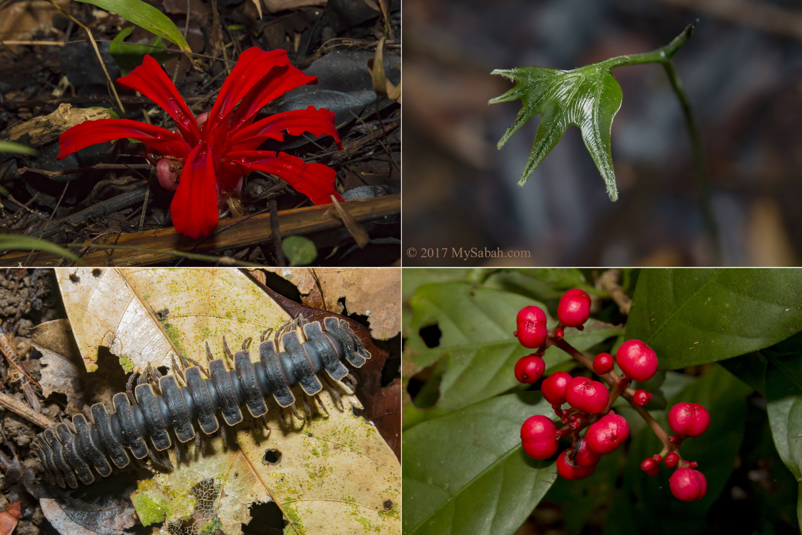
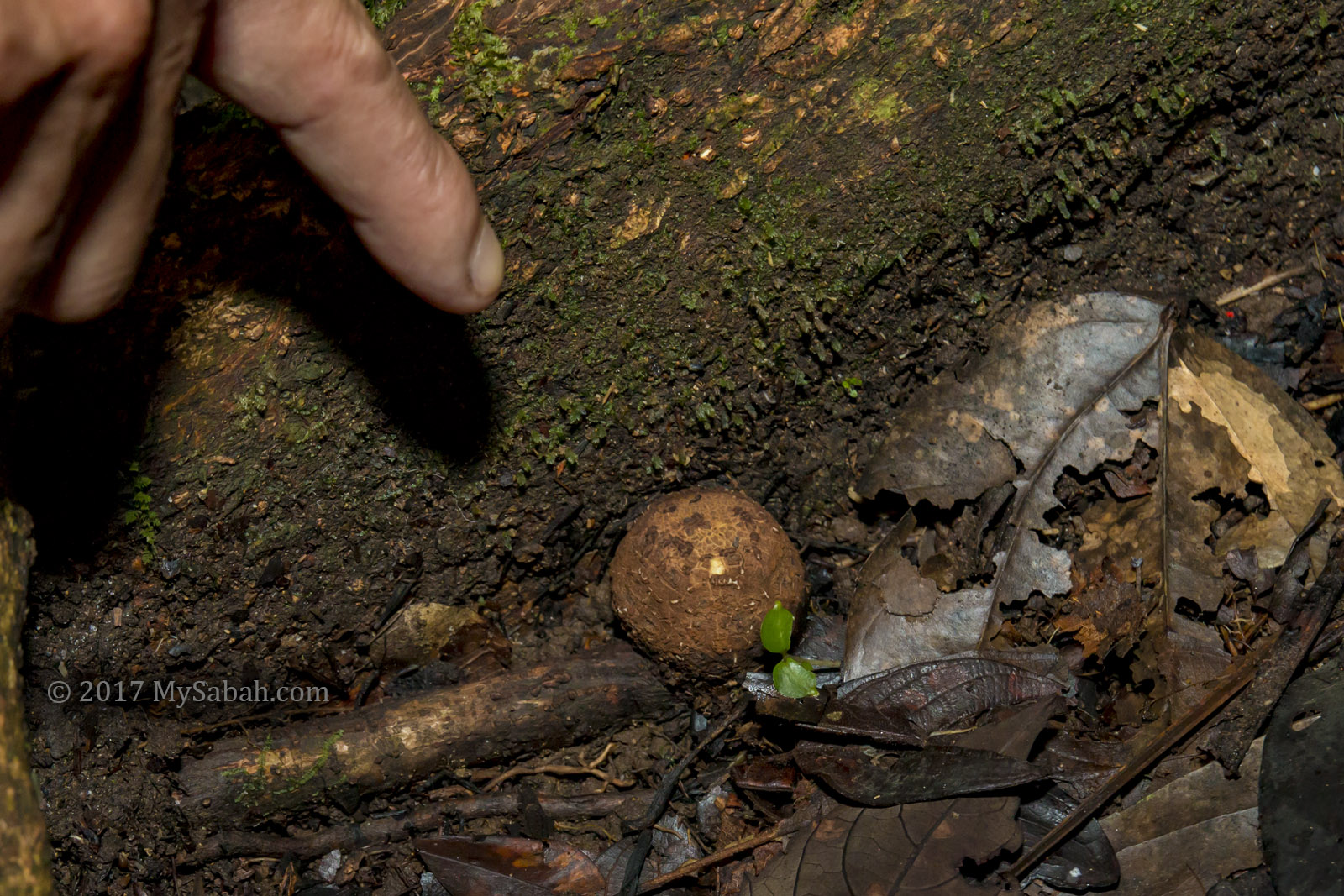
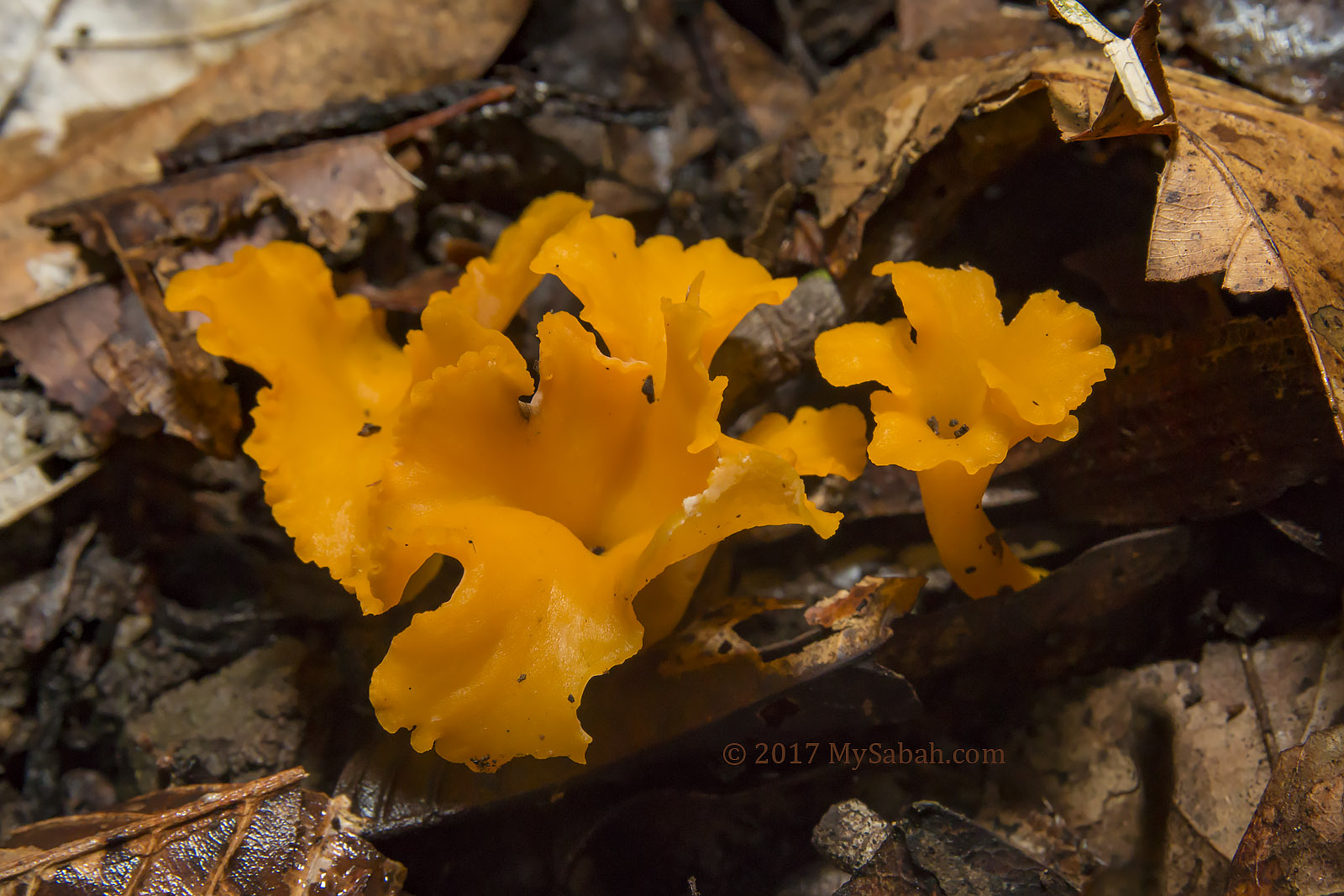
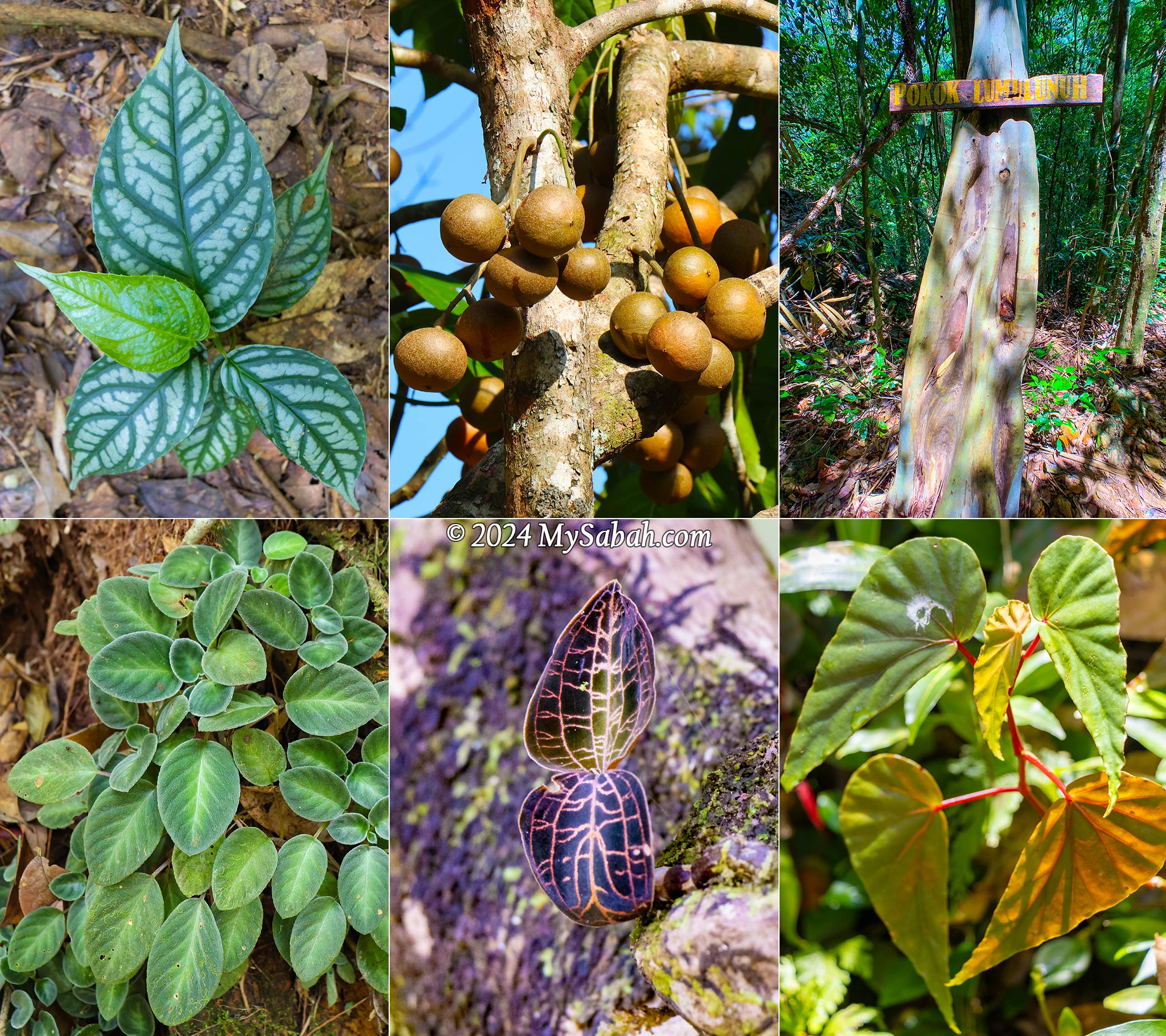
Nature enthusiasts will find themselves captivated by Aura Montoria’s diverse landscapes. Keep an eye out for its rich flora, such as begonias and orchids, which are among the highlights. While most people relaxed at the camp, some enjoyed a free fish massage from the docile mahseer (Local Name: Ikan Kelah).
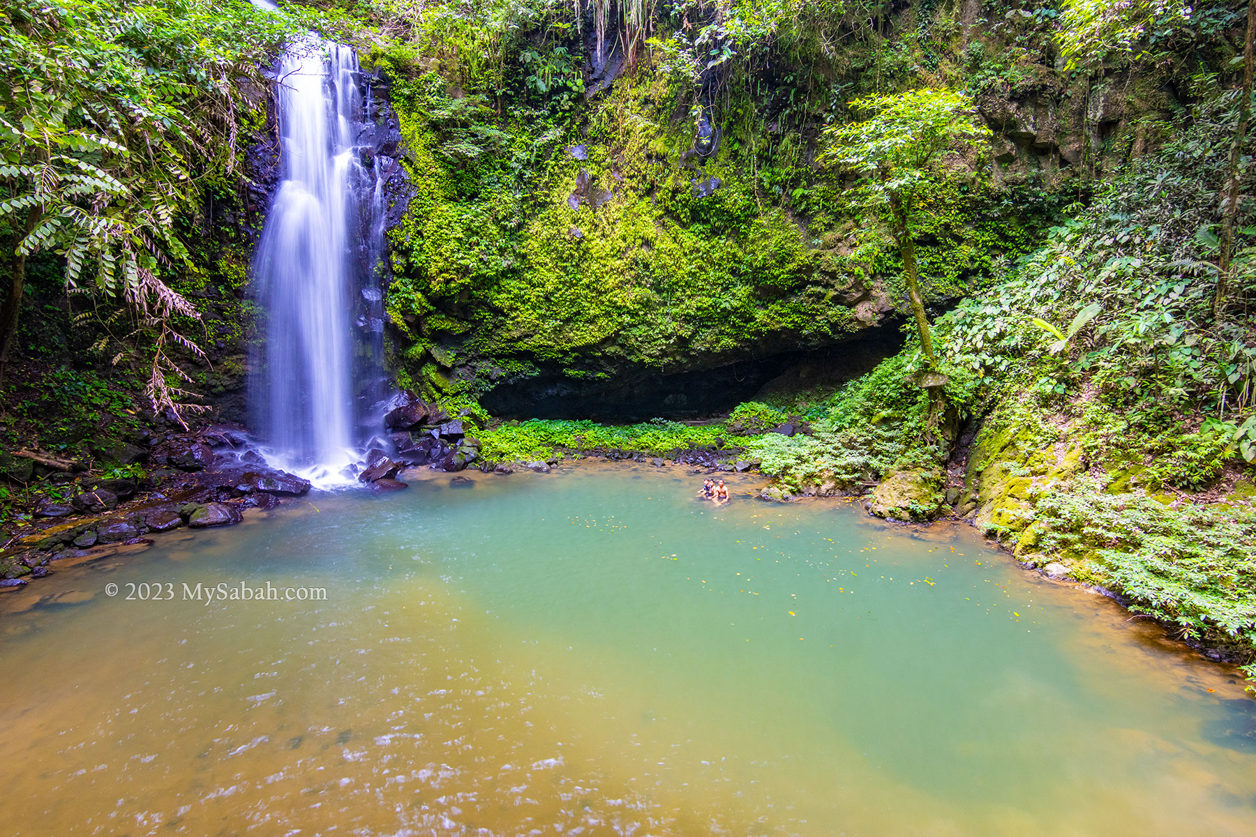
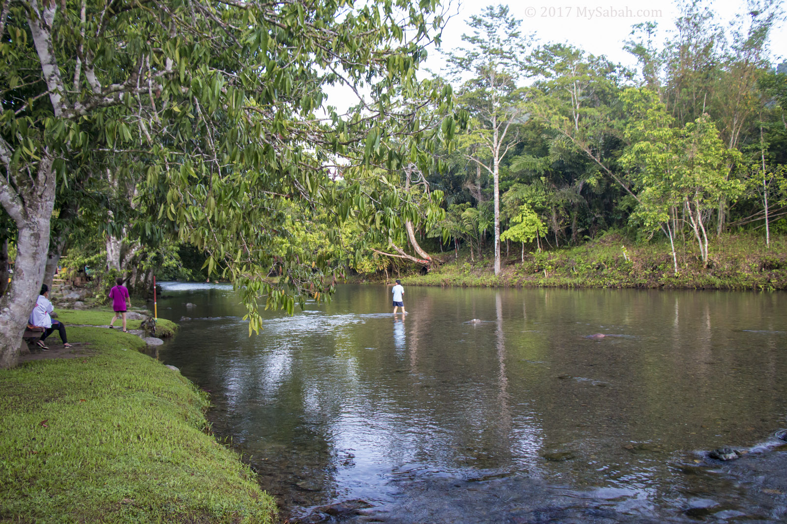
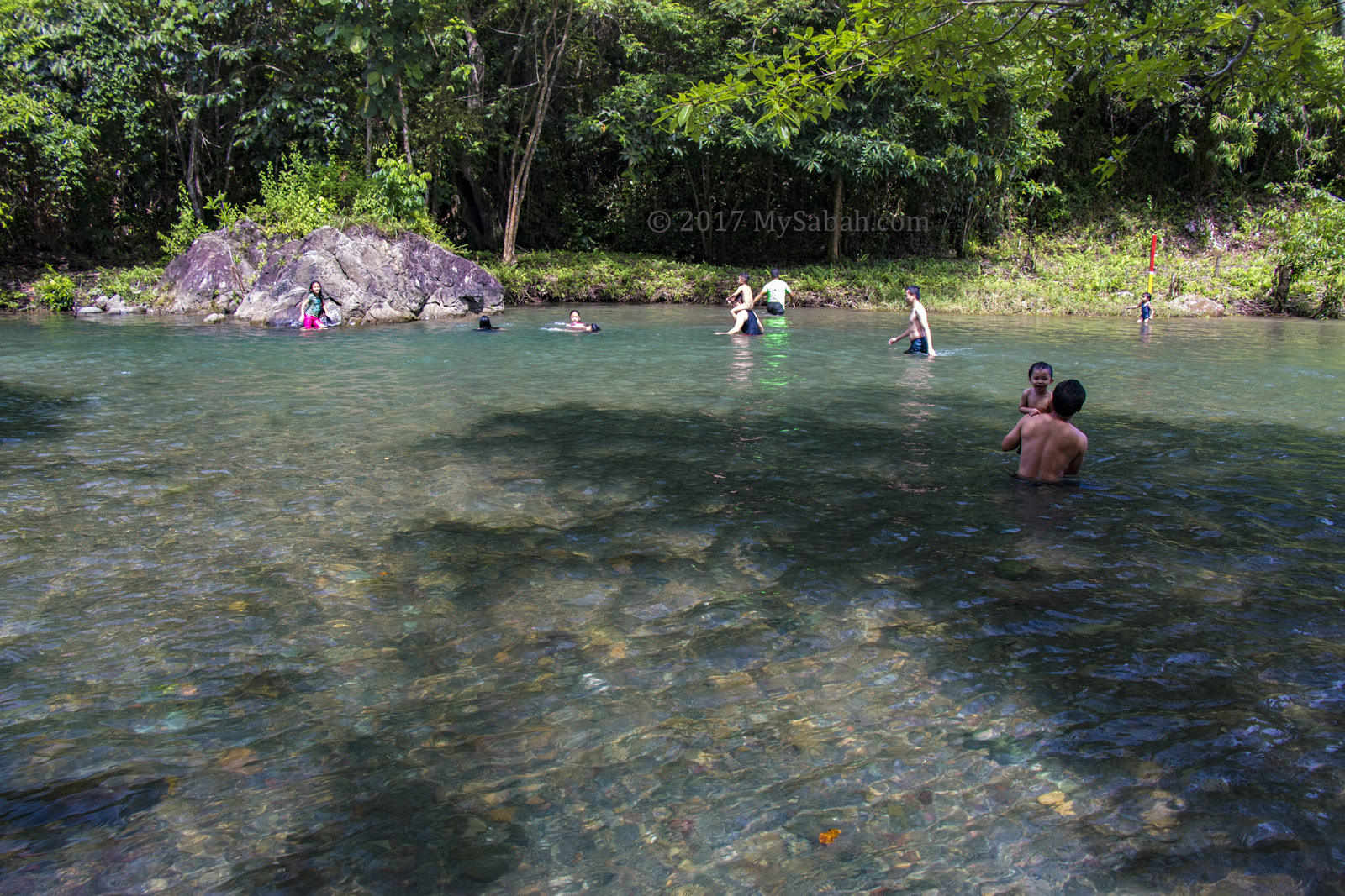
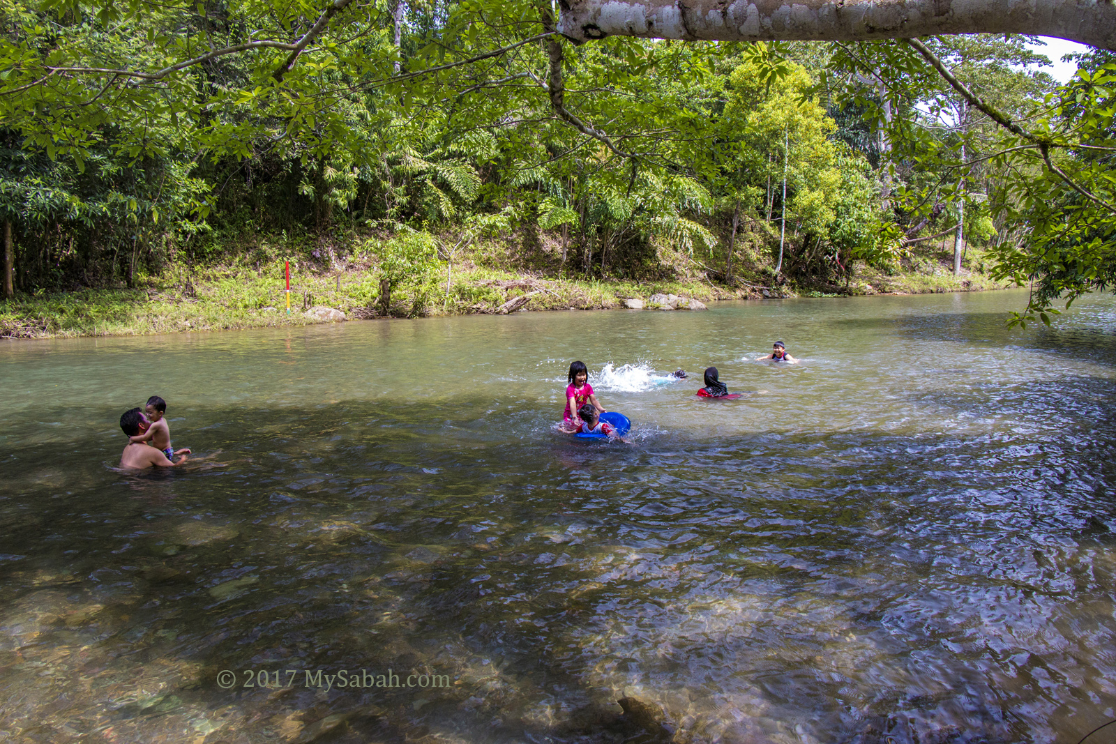
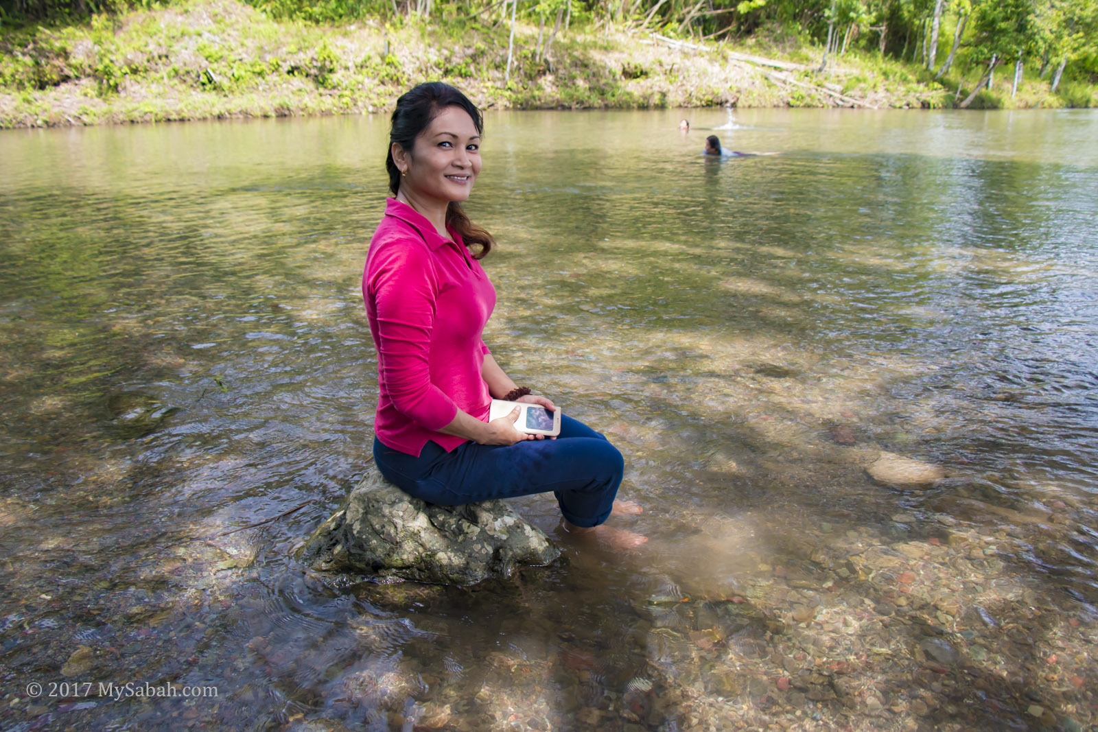
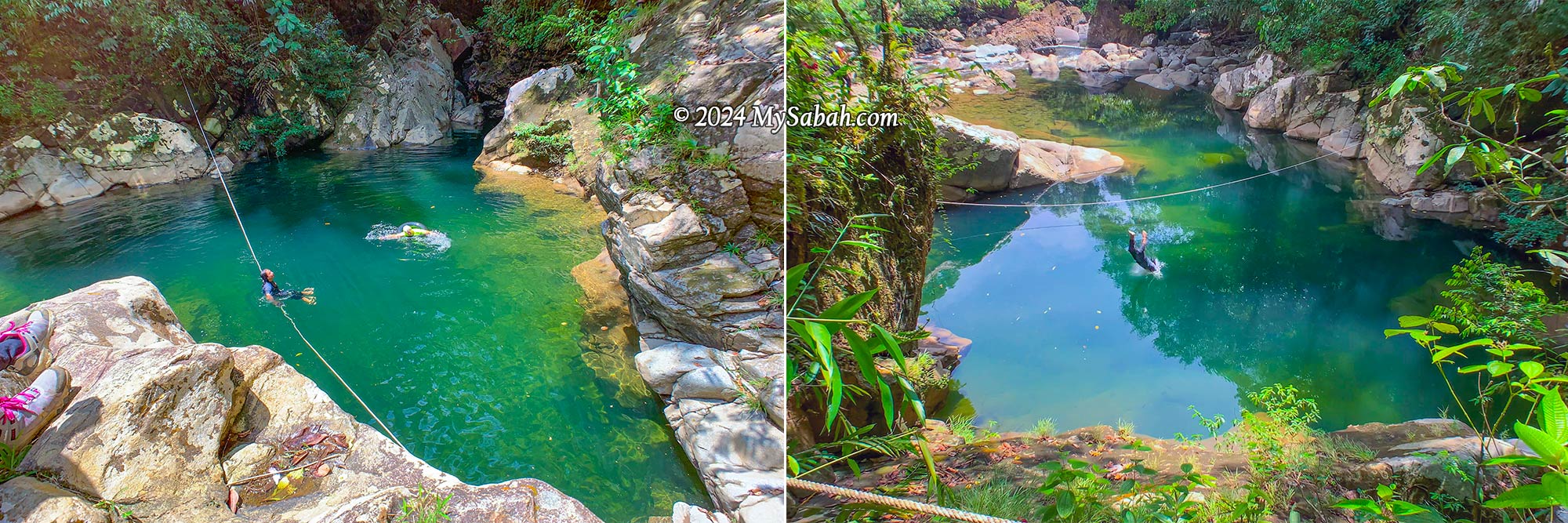
Green Lake (Liogu Otomou)
The adventure isn’t quite done yet! Our final destination is the Green Lake, a serene pond embraced by whitish boulders, with a depth of about 10 feet. For those seeking an extra adrenaline rush at the tail end of a long hike, you can take a leap into the river from higher ground nearby.
How to Get There
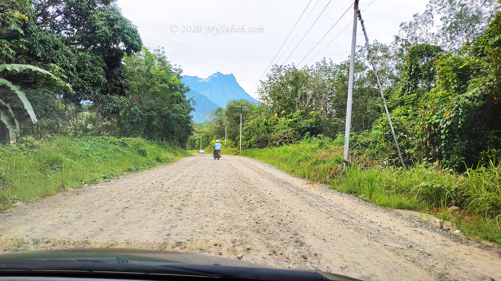
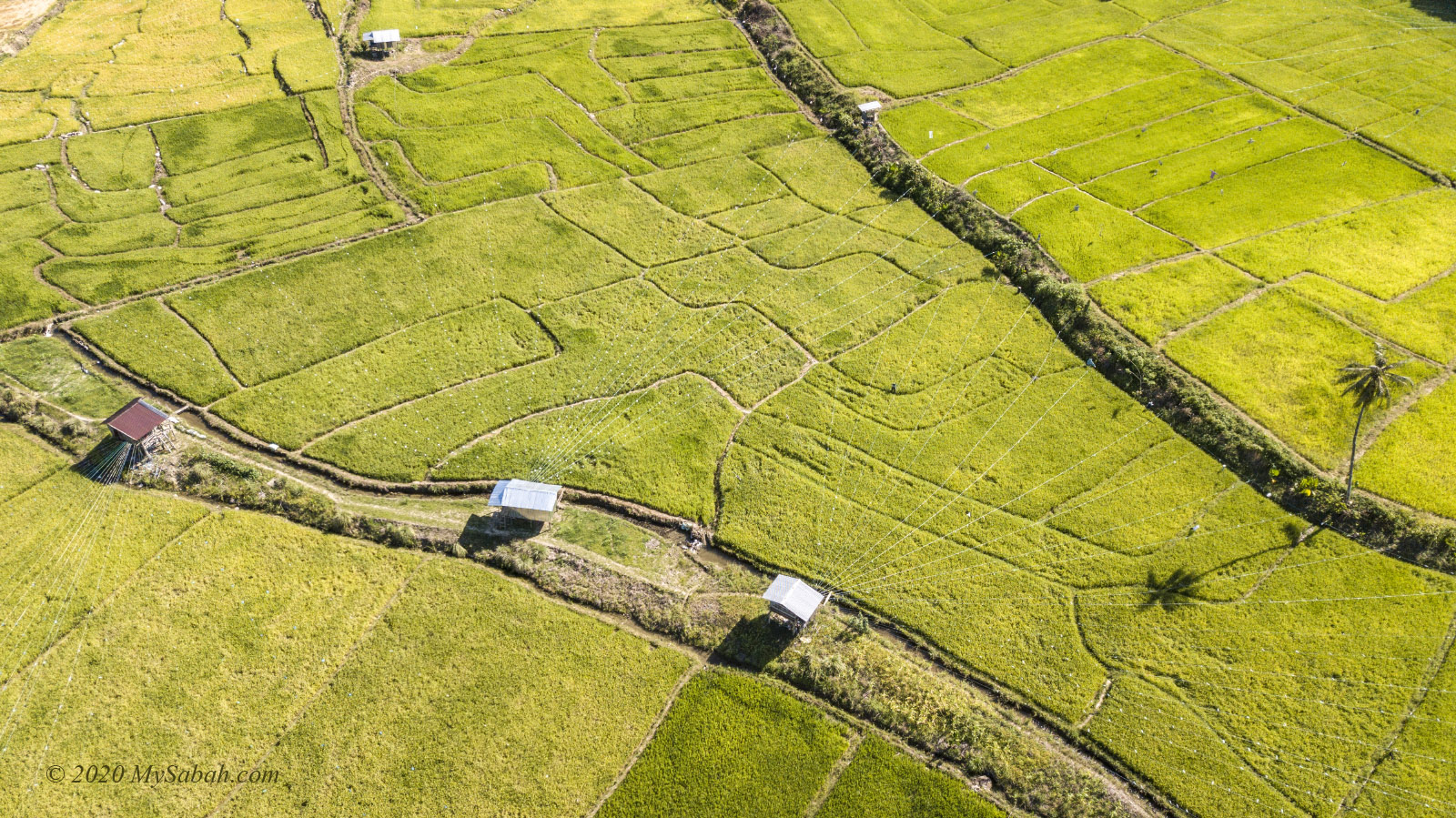
Aura Montoria (see Location Map) is situated in Kampung Sayap, approximately 26 kilometers from Kota Belud, famously known as the Cowboy Town of Sabah. The journey from Kota Kinabalu City (KK) to Kota Belud, around an hour by car, is easily accessible via highways and paved roads. However, the 27-kilometer stretch from Kota Belud to Aura Montoria is predominantly gravel and dirt roads, making a 4-wheel-drive preferable as it can be challenging for sedan or saloon cars to traverse.
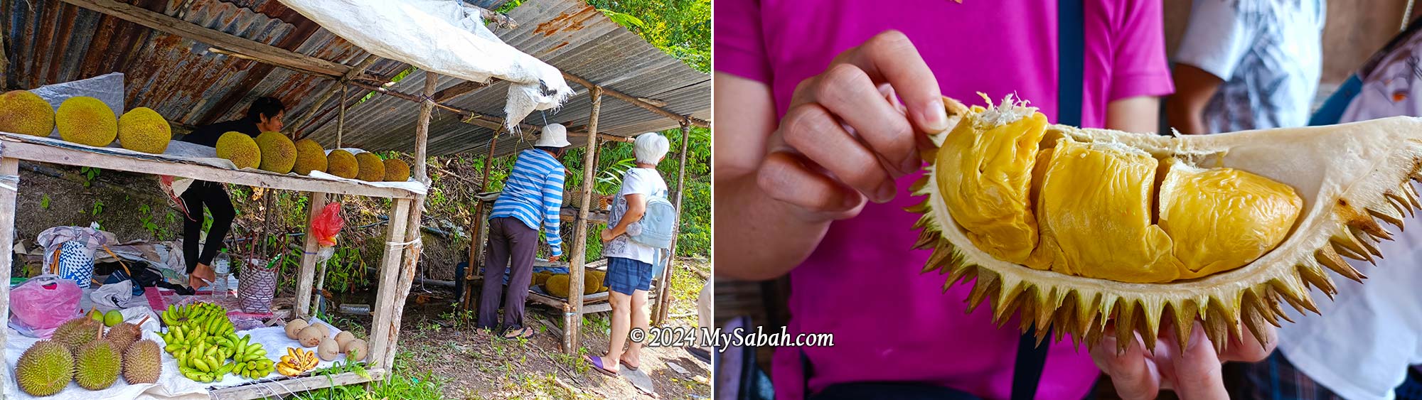
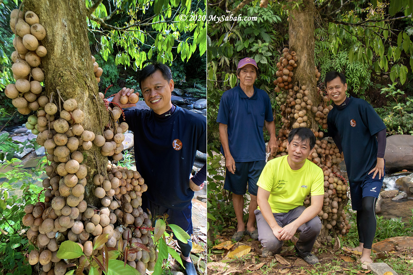
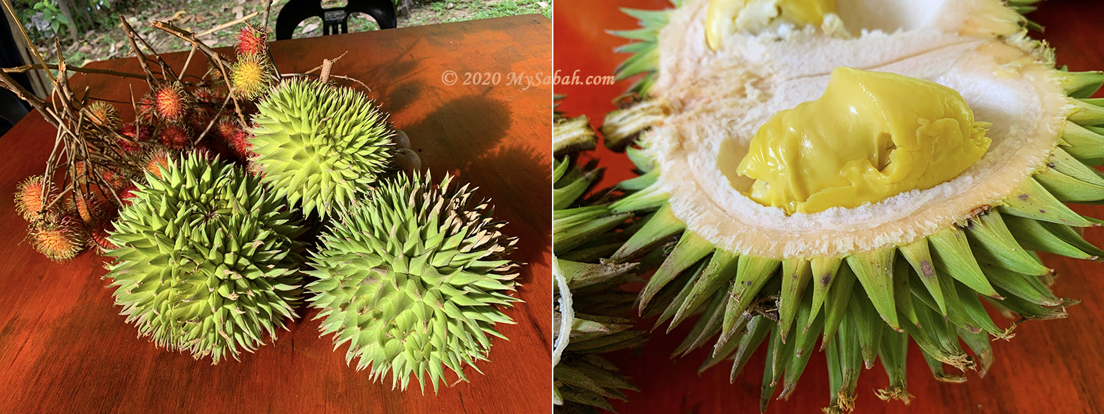
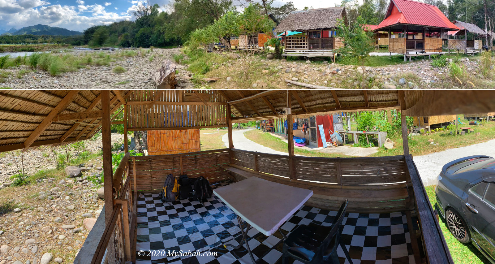
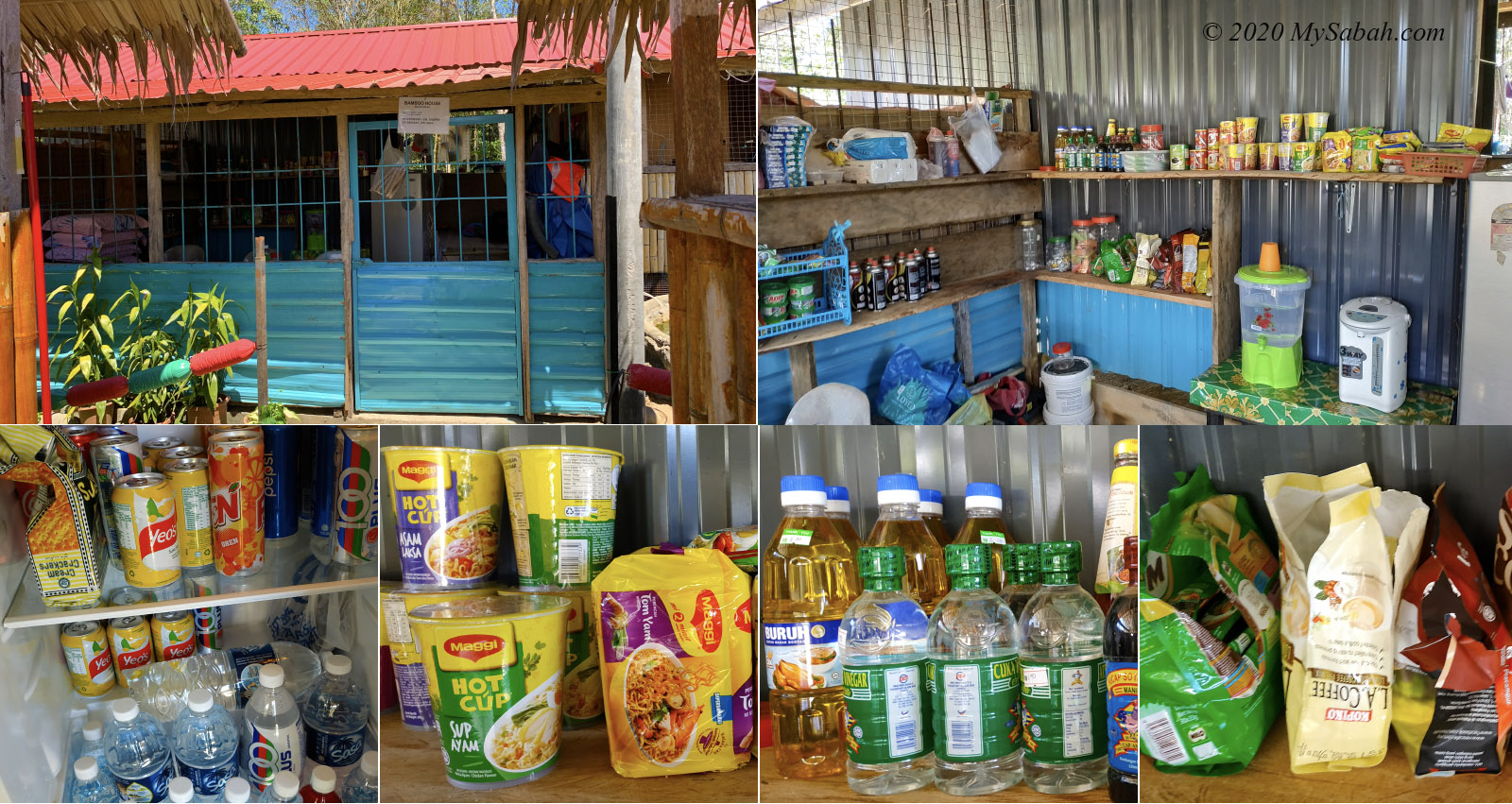
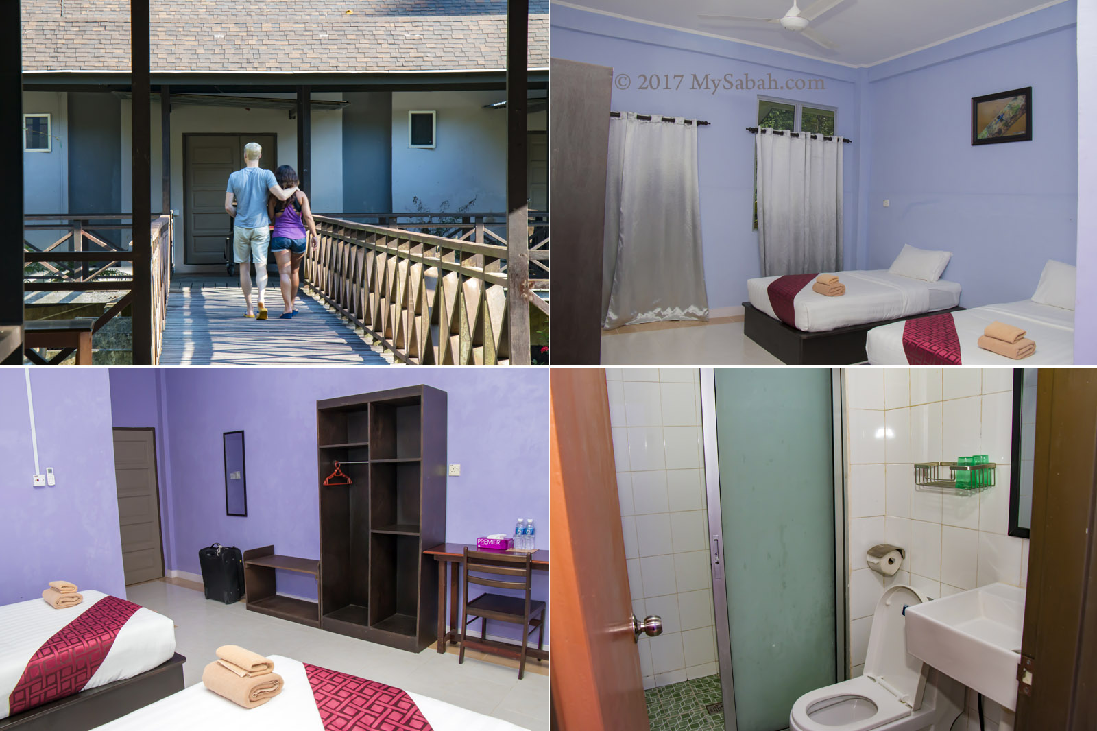
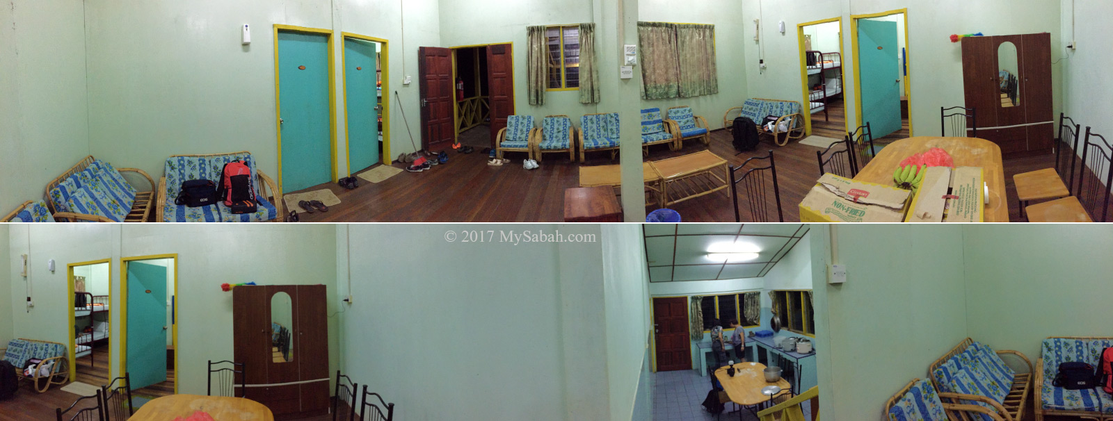
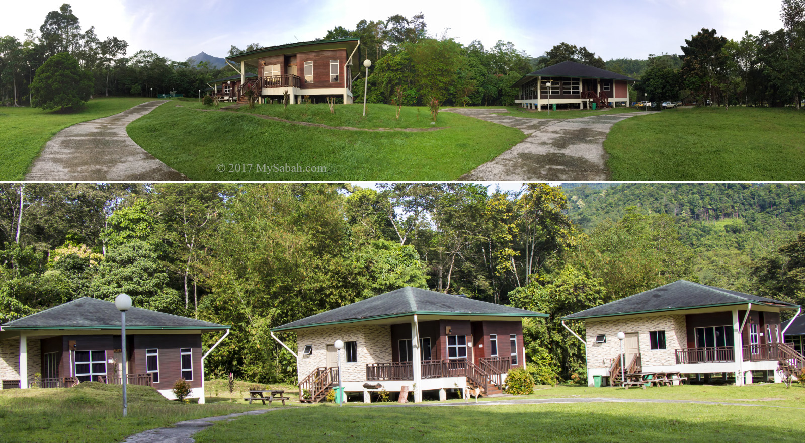
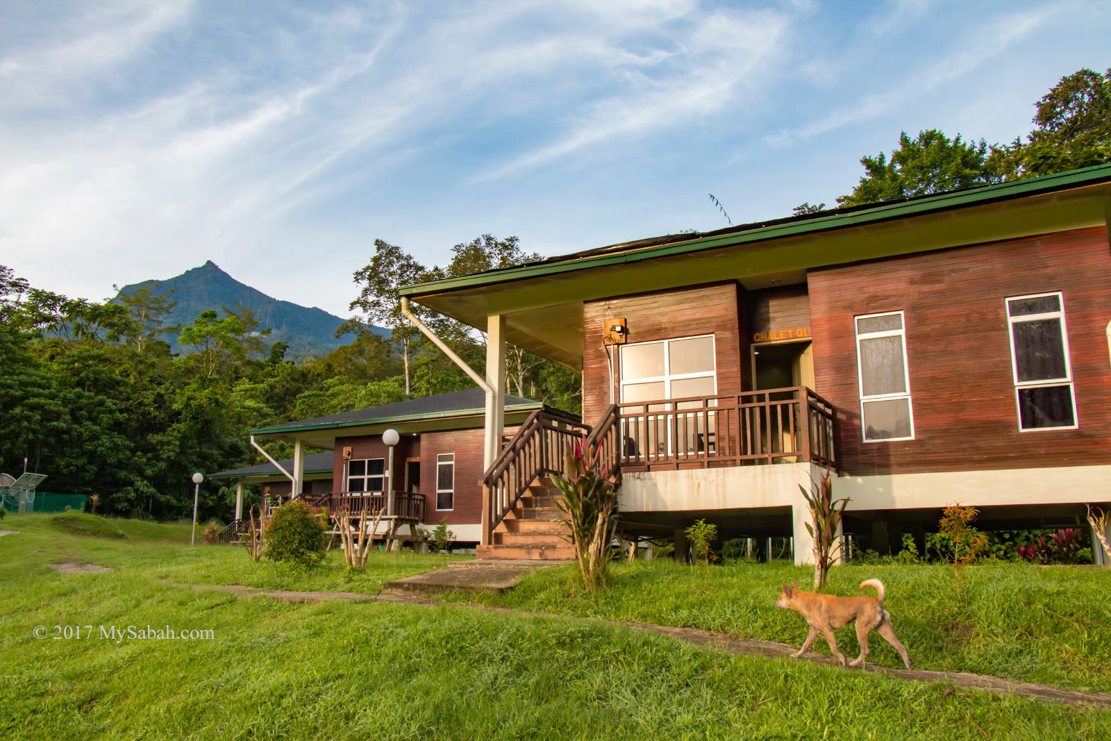
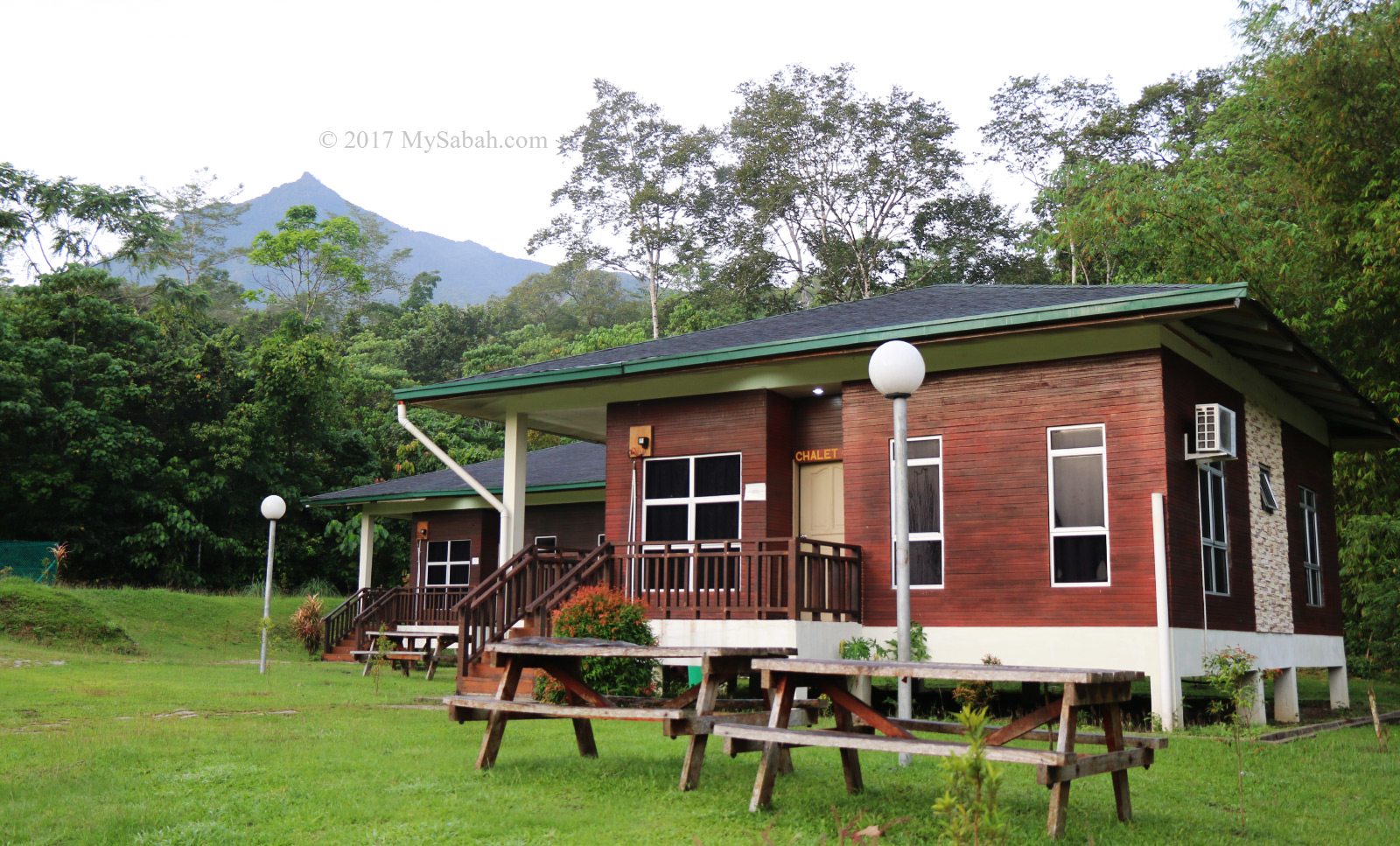
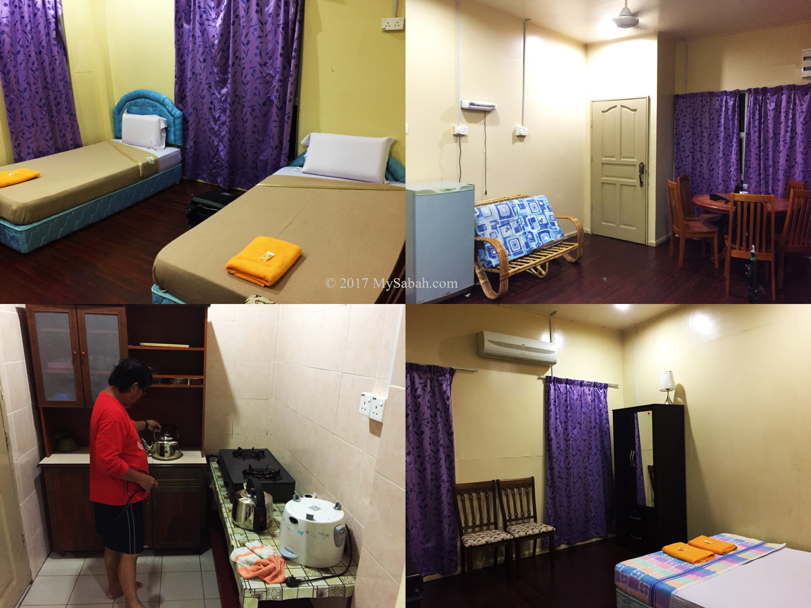
If you’re traveling from KK, expect a journey of over two hours. During the durian fruiting season (around August and September), if you’re a durian lover, plan for additional travel time as you might be tempted to stop in Kampung Sayap to shop for cheap durian, pineapples, and tarap. Hence, staying overnight in a nearby homestay like Porohon Garden Lodge is highly recommended. This way, you can avoid the rush and enjoy a leisurely start to your adventure without the need for a long early morning drive.
About Kampung Sayap
The majority of Kampung Sayap’s population comprises the Dusun Tindal community, mainly engaged in farming activities. Originally known as Kampung Minangkob, the name translates to “valley surrounded by hills.” Many years ago, a British military officer visited the village, he rested by a river that was nearly covered with dry leaves because of the drought that time.
Then the British asked a villager, “what is the word for dry leaves in Dusun language?” The villager replied that it was “sahap” (dry leaves). Unfortunately, the officer misheard sahap as sayap (which means wings in English) and document it in his diary. Due to that incident, Kampung Minangkob was renamed to Kampung Sayap.
Fees and Contacts
The half-day, 6-kilometer hiking tour is priced at RM35 per person for locals and RM80 per person for non-Malaysians. For a group of up to 5 people, the guide fee per group is RM50 for locals and RM100 for non-Malaysians. Food is not included in the cost (but available as an add-on). If needed, you can hire a porter at a rate of RM5 per kilogram to carry your belongings.
A local guide is mandatory for hiking in Aura Montoria. To inquire about updated rates or book a hiking trip in Aura Montoria, you can contact the operator through the following channels:
Phone (Whatsapp): +60-136262793 (Madam Sandra Idiam), +60-189650079 (Madam Rina Maratun)
Facebook: Aura Montoria Eko-Edu Tourism Kg Sayap Kota Belud Sabah
Things to Bring
Having the following items handy will ensure a more comfortable and enjoyable hiking experience at Aura Montoria! The most important of all is to wear the right hiking gear: quick-dry clothes and good hiking shoes.
- Backpack
- Drinking Water
- Raincoat / Poncho
- Insect Repellent
- Sunblock Lotion / Spray
- Snacks / Energy Bar
- Swimwear / Sarong
- Extra clothing and towel
- Hiking pole
- Plastic Bag for soiled clothing
- Cash
- Optional: dry bag, portable power bank, hat
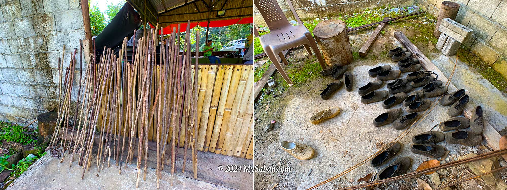
You can rent walking sticks, swimming goggles, Adidas Kampung (waterproof rubber shoes for hiking) for a small fee.
Special thanks to Puan Rina Maratun for sharing the backstories of Aura Montoria and Kampung Sayap. I also refer to the book “A Scientific Journey Through Borneo; Sayap-Kinabalu Park Sabah” written by ISMAIL, Ghazally; BIN DIN, Laily and published in 1995.
Photos taken in Kota Belud, Sabah, Malaysia Borneo