 by
Some treasure hunters believe there is gold buried on Bukit Bendera in Papar. “Bukit Bendera” literally translates to Flag Hill, and while there are several hills with this name across Malaysia, this particular peak is in Papar. Standing at just 167 metres high, Bukit Bendera is the highest point in Papar and an important historical landmark. Both British and Japanese rulers raised their own flags on its peak in the past. You might wonder why every power wanted this specific vantage point so badly.
Bukit Bendera (Flag Hill) of Papar
Papar is a historic railway town on the west coast of Sabah. It sits midway along the 193-km railway line stretching from Jesselton (now Kota Kinabalu) to Tenom in Sabah’s interior. During wartime, if Papar fell to enemy hands, it meant a fatal blow to supply lines. As the highest elevation in the area, Bukit Bendera served as a critical strategic observation point to monitor incoming vessels and aircraft.
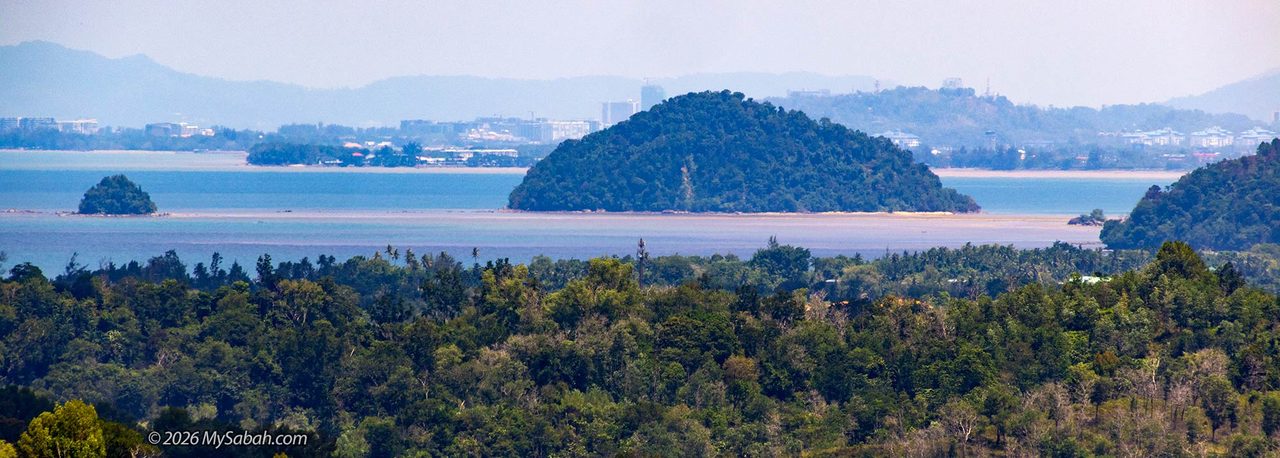
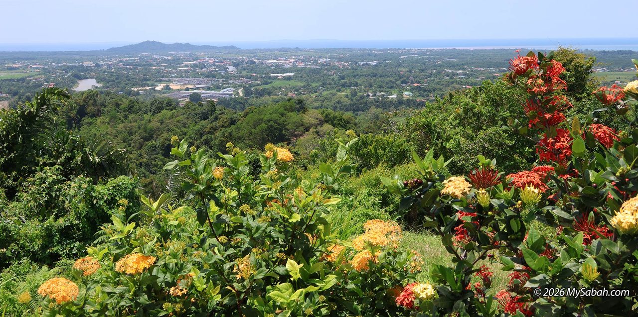
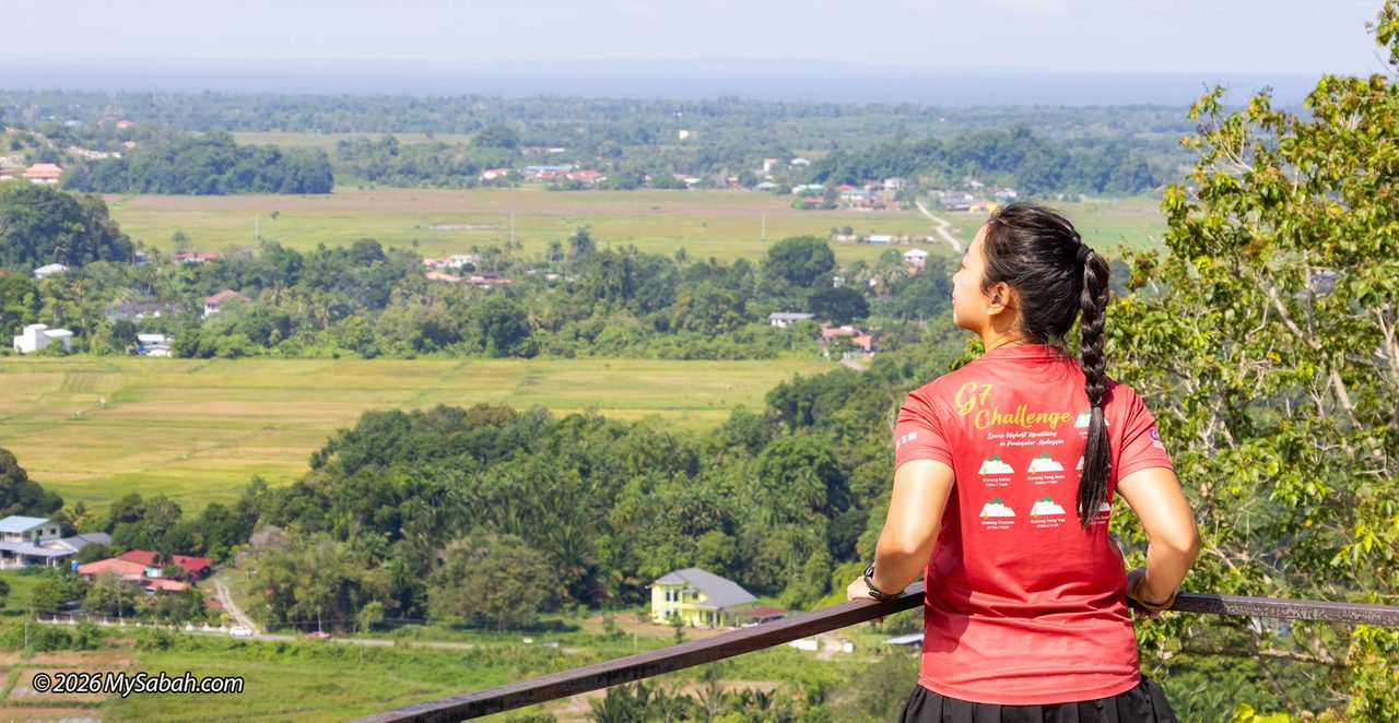
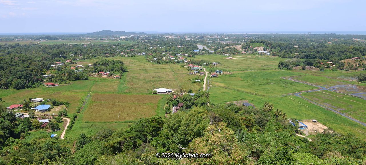
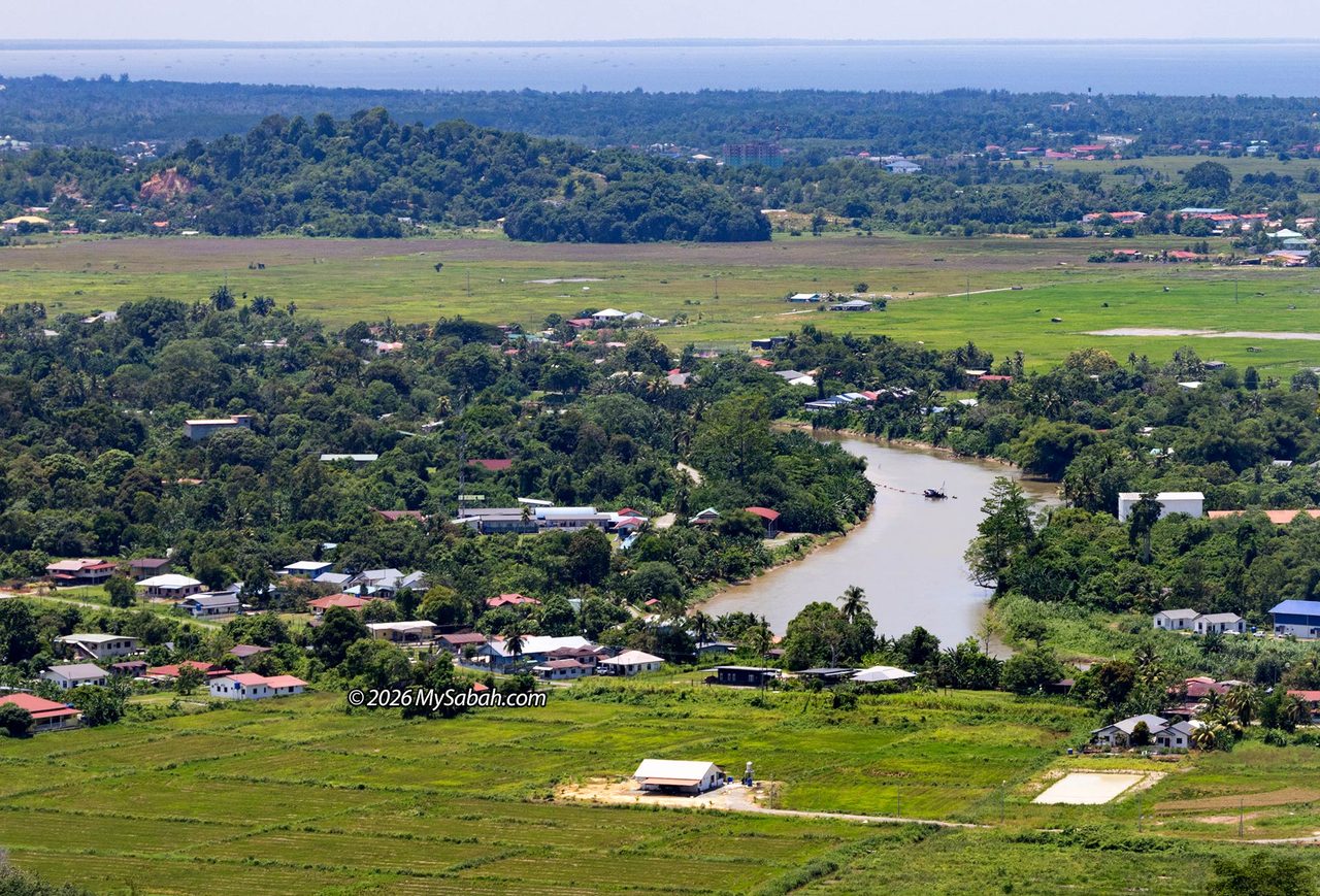
Standing on the peak of Bukit Bendera, you can see the coastline just 4 km to the west. The panoramic view spans across the horizon, taking in coastal land, the railway line, paddy fields, forests, and the winding river around Papar town. Today, the flags of Malaysia and Sabah fly high on the hill. It has evolved into a popular scenic viewpoint, drawing hikers who come to enjoy the open views and catch the sunset over the South China Sea.
Given its rich backstory, it is a fascinating spot to explore. The hike to the peak is under 1.5 km one-way with very manageable inclines. For me, it is a beginner-friendly “101” trail. I highly recommend it to casual hikers who want a leisure walk through history in the footsteps of the British, the Japanese, and local ancestors.
Pohumpung Nature Breeze Trail (PNBT)
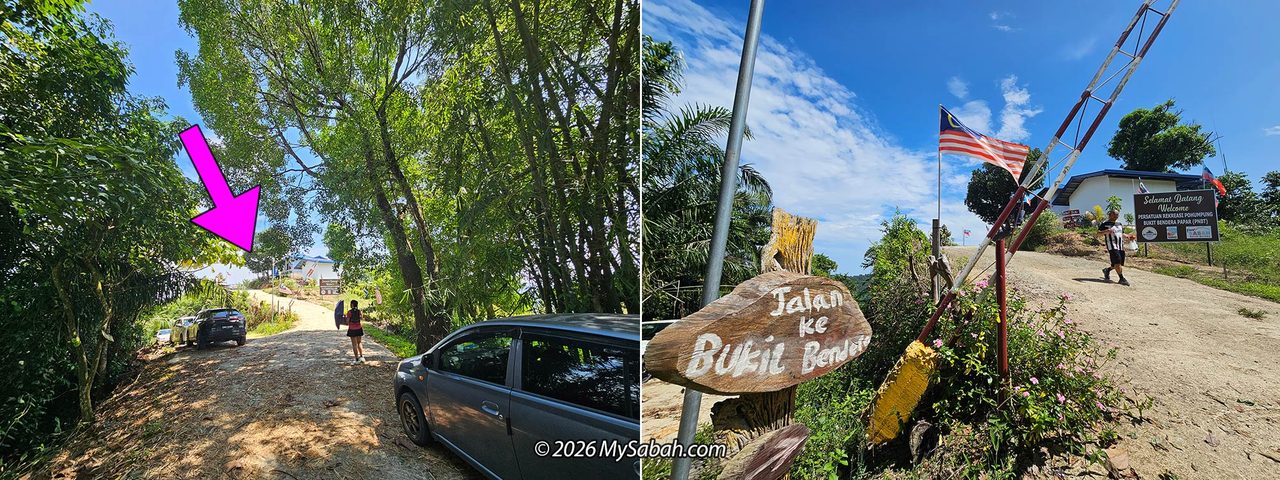
Several trails lead up Bukit Bendera. I took the Pohumpung Nature Breeze Trail (PNBT), which begins in Kampung Biau, just 7 kilometres from Papar town center. In the West Coast Kadazan-Dusun language, “Pohumpung” (derived from the root word humpung or umpung) translates to “gathering,” “assembly,” or “meeting place.”
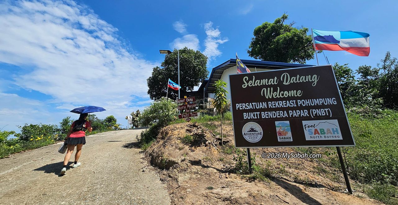
Joining me on this hike was Joan from 乐飞翎 Luvfeelin. In the morning, we stopped briefly at the Papar market for a light breakfast under gloomy skies that soon brought rain. Luckily, by the time we reached the trailhead, the rain had cleared and the sky brightened up, giving us a welcoming start.

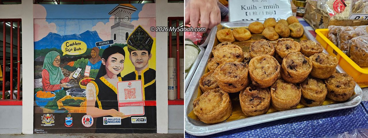
The drive to the starting point took us down narrow asphalt and concrete village roads. We passed rivers, bridges, open grasslands, and traditional houses, a peaceful, green slice of countryside typical of Sabah. Along the way, we even spotted wallowing water buffaloes, cattle egrets, and trees heavy with rambutan and other local fruits.
To learn more about the trail (View Location Map ), you can check out the PNBT Facebook page (@pohumpung.trail)
Holy Cross Monument
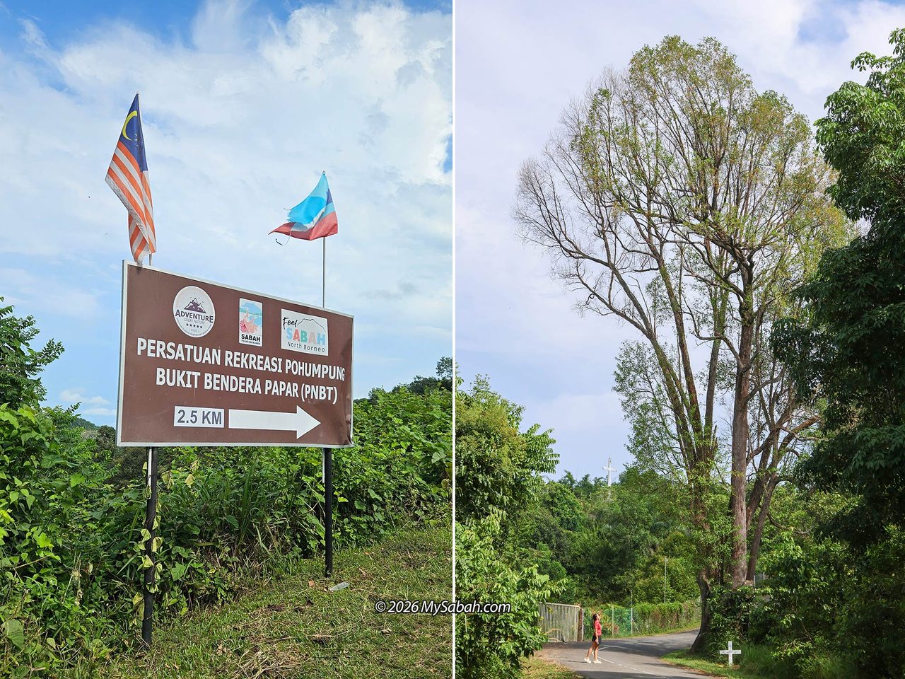
About two kilometres before the starting point, we noticed several white crosses spaced out along the roadside. These mark the Stations of the Cross, and we saw a few locals jogging past them. Further up on higher ground stands a giant Holy Cross Monument known as Bukit Hati Kudus Pohumpung (Sacred Heart Pohumpung Hill). A few noisy White-breasted Woodswallows seemed unimpressed by our presence and even tried to dive-bomb Joan’s drone.
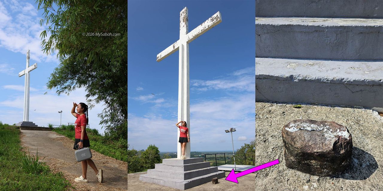
This hill is used for Catholic pilgrimage activities, particularly during Good Friday processions commemorating the Passion of Jesus Christ. Every Easter season, local parishioners from Papar trek up Pohumpung Hill for the Way of the Cross.
The Starting Point
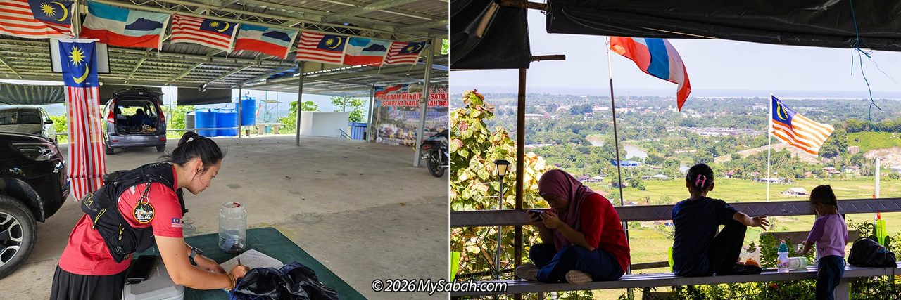
We paused briefly before continuing to the PNBT trailhead, located just 180 metres further up the road. After parking, we walked over to a covered shelter that acts as the reception center. We registered our names and paid a small entrance fee of RM1. The area is breezy, equipped with toilets, and open for camping for an additional fee.
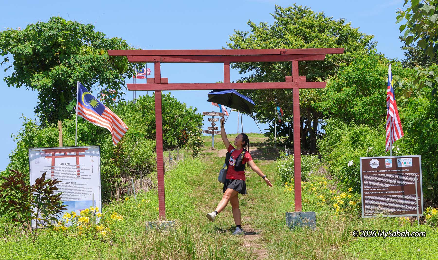
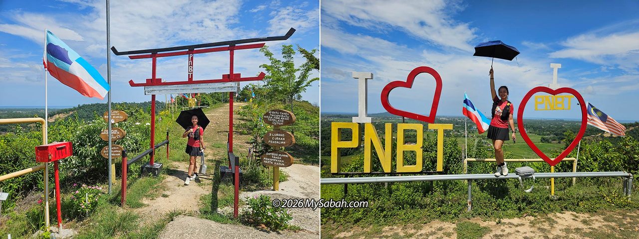
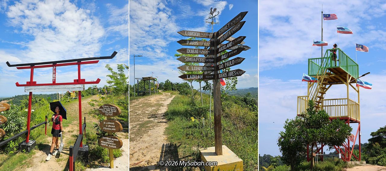
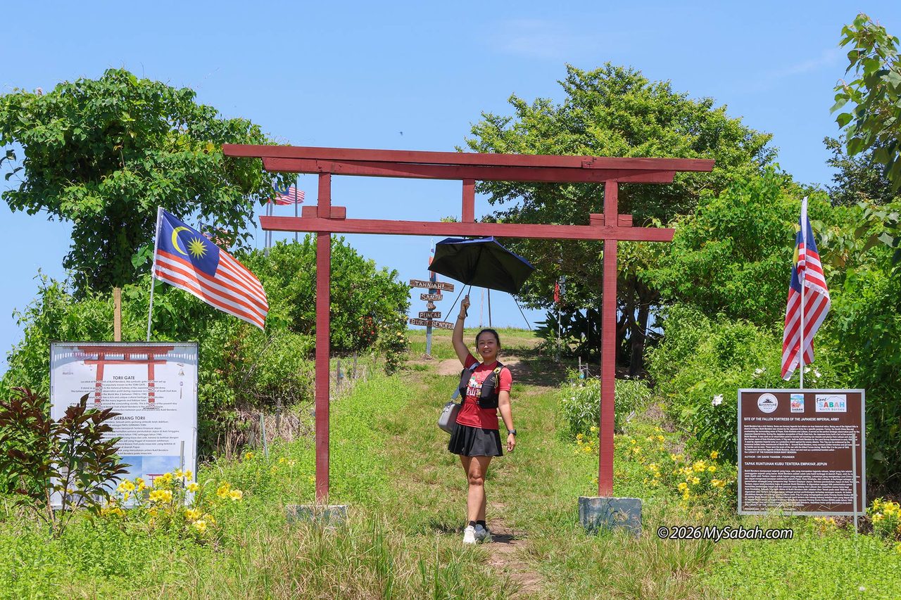
We started our hike around 10:30 AM. Right at the entrance stands a bright red Japanese-style Torii gate, installed in 2024. Past the gate, you will find a few photo spots, followed 100 metres later by a 10-metre-tall Sky Tower. We spent so much time taking photos at the beginning that I started worrying about the rising midday heat.
The Hiking Trail
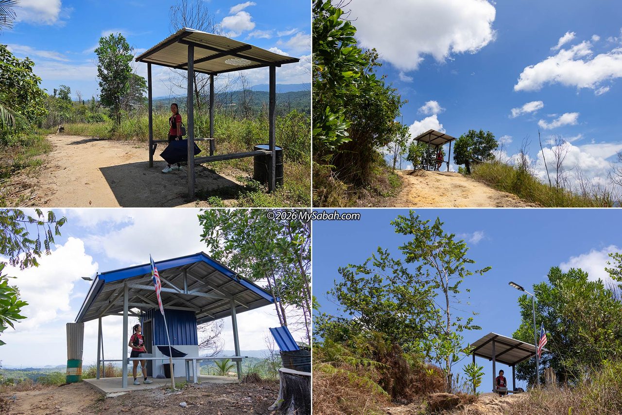
At first, I wondered why we were the only two people on the trail, but the answer quickly became clear: most of the path is exposed to the midday sun, bad timing! We were walking along a dirt-and-rock ridge trail flanked by grassy slopes and scattered trees. The route to the peak is clear and wide. While natural shade is sparse, four shelter huts are spaced out along the trail to shield hikers from the sun, one of which includes a toilet facility.
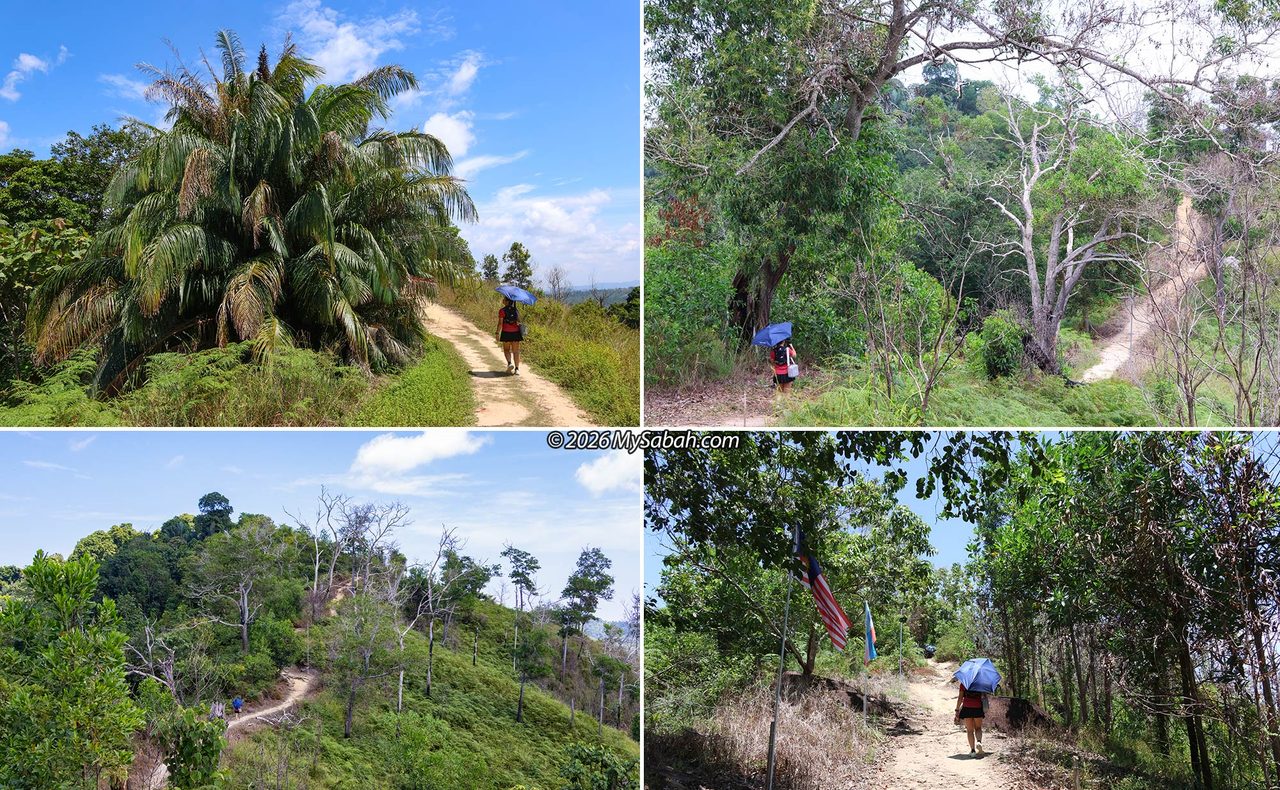
Because of the dry season and hazy conditions, the ground radiated intense heat. I could feel heatwaves rising from the dry, hard yellow clay underfoot. Fortunately, I brought an umbrella to block the direct sunlight. On the bright side, there were no leeches, and the ridge felt alive with the loud hum of cicadas.
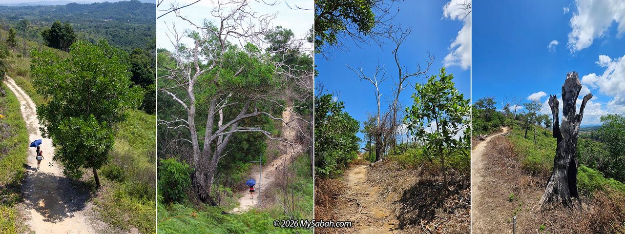
Overall, the trail features rolling terrain with gentle inclines. Even with the heat, the easy pace meant I didn’t sweat too much. The 1.5 km walk took us about 40 minutes because we stopped frequently for photos. Some of the trees along the way look completely dry and dead, but their bare, whitish branches make for striking photo backdrops. It is best to walk past them quickly, though, just in case a loose branch falls.
Totombunan Oath Stone
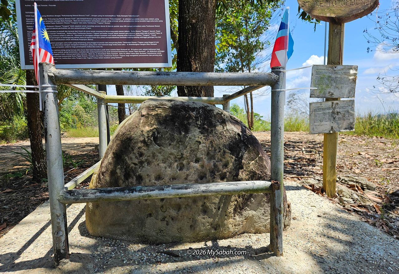
About 30 minutes into the walk, we reached a fenced boulder known as Batu Sumpah Totombunan (the Totombunan Oath Stone). In older times, indigenous communities in Sabah used rocks to mark territorial boundaries and seal peace treaties to end conflicts.
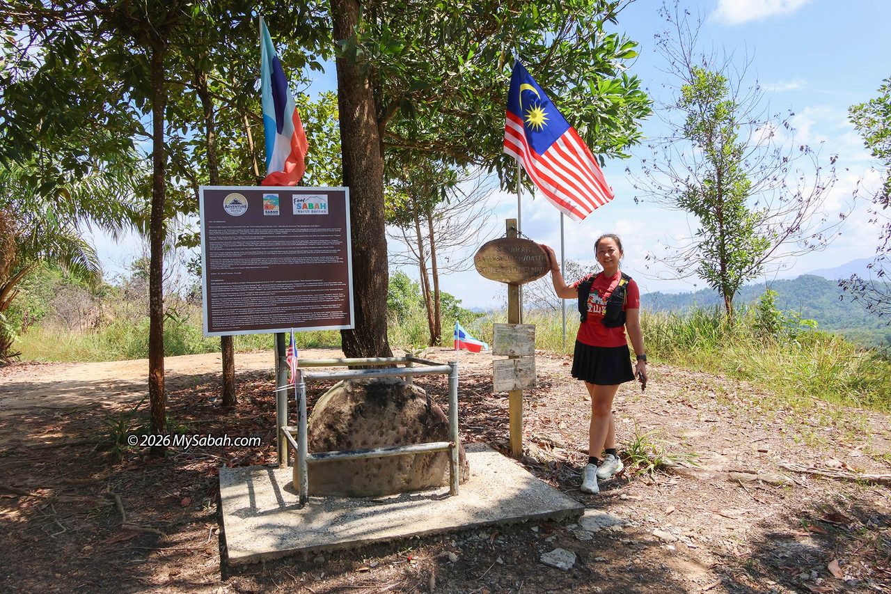
In this case, the stone marks a pact between the Tangara Kadazan-Dusun tribe of Papar and the Tagaas Dusun tribe of Tambunan. To keep things simple, let’s call the former the Papar tribe and the latter the Tambunan tribe.
While hikers enjoy a peaceful trail today, walking this ridge was a dangerous affair about 200 years ago. A long war once broke out when the Tambunan tribe attempted to move down from the hilly interior to settle along the fertile coastal downstream areas of Papar tribe.
After years of defending their respective territories, the leaders from both sides agreed to hold a peace conference. The resulting treaty put an end to the skirmishes between the coastal inhabitants and the mountain dwellers.
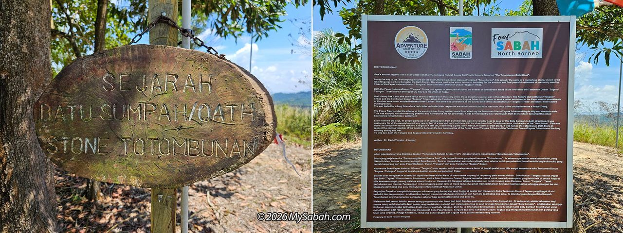
The Papar tribe agreed to reside along the coastal and downstream areas, while the Tambunan tribe remained in the upper ulu hilly regions of Papar. This Oath Stone was placed to mark the agreed boundary between their lands. Anyone traveling between Tambunan and Papar on foot would pass by this rock.
By custom, travelers from both directions would pluck a leaf from a nearby tree, spit on it, and toss it onto the Totombunan site. Over time, these leaves accumulated into a mound four feet high around the stone.
Japanese Treasure
During World War II, the Imperial Japanese Army invaded North Borneo in early 1942. They quickly seized Bukit Bendera, recognizing it as an ideal vantage point to watch for incoming attacks from sea and sky.
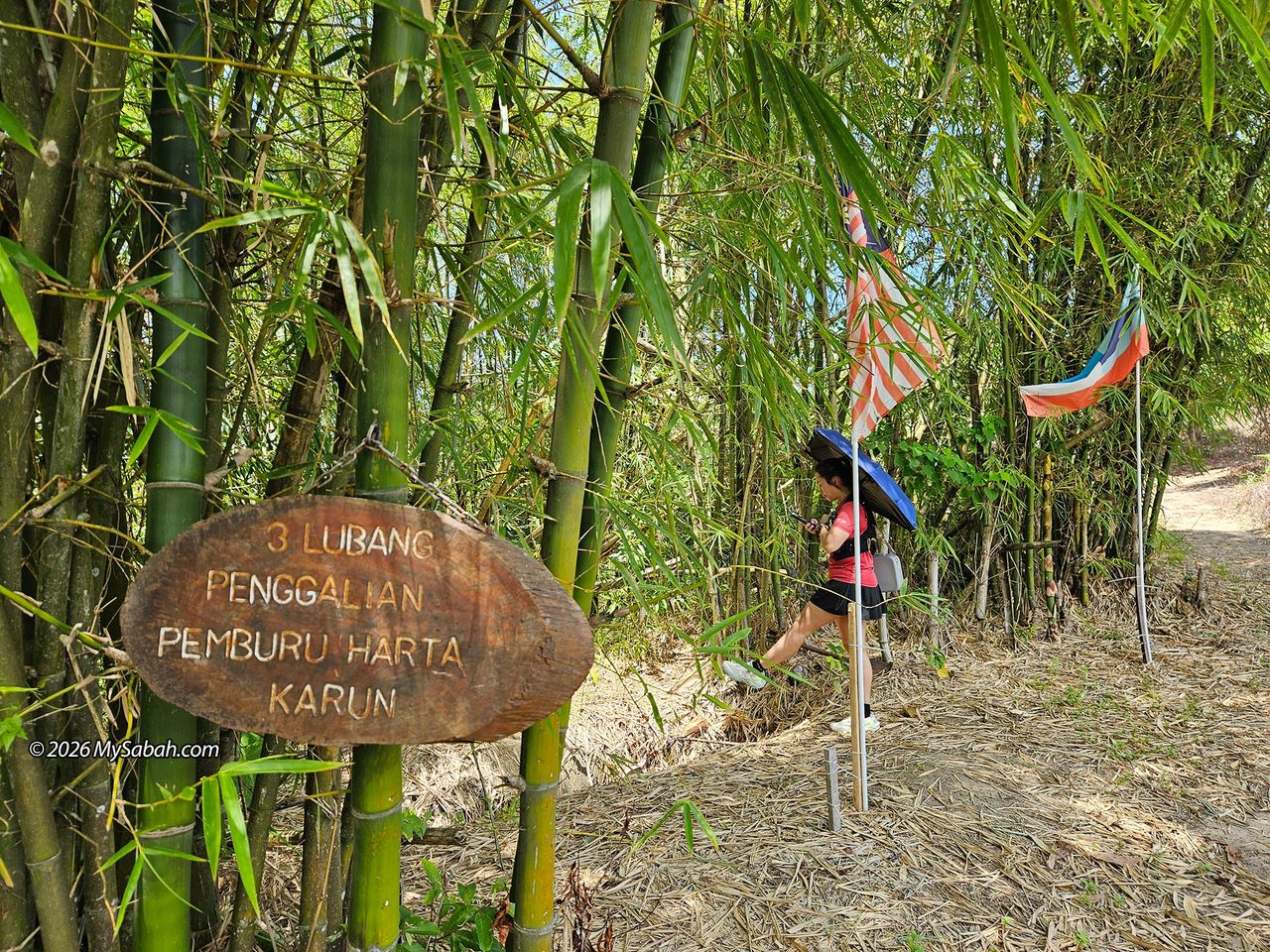
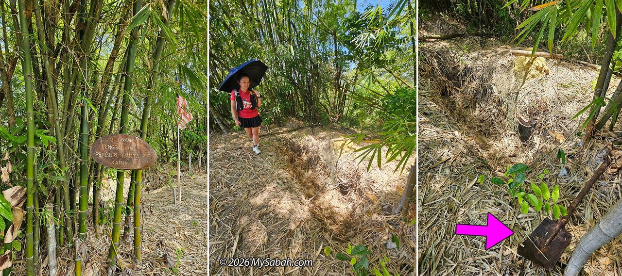
Along the path, we came across a small bamboo clump area showing a sign marked “3 Treasure Hunter Excavation Pits.” Next to it is a 1.5-metre-deep hole, clearly dug by treasure hunters. A rusted shovel even lay beside the pit. Urban legends about buried Japanese gold are common across Southeast Asia, but if you dig around WWII conflict sites, you are far more likely to unearth unexploded bombs than gold bars.
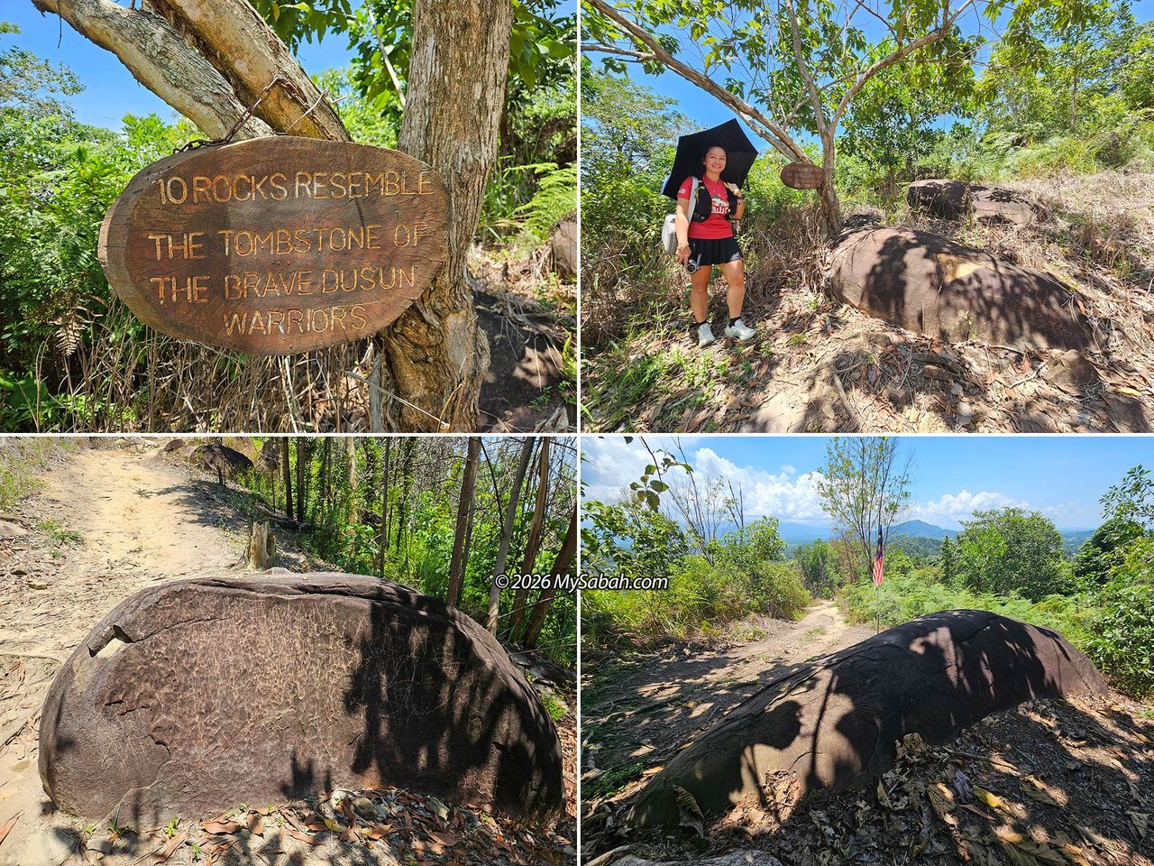
Shortly after passing the excavation pit, we spotted a grouping of ten large rocks said to resemble the tombstone of Dusun warriors. While no detailed written legend accompanies them, the site was historically a battleground and burial site, and these massive stones likely served to honor fallen warriors.
The Summit
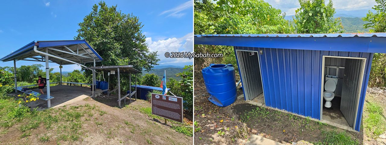
We reached the peak of Bukit Bendera at 11:50 AM. Though it was hot, a steady breeze cooled the summit. Instead of feeling exhausted, I felt overheated and took refuge under the summit shelter, which also has a toilet facility. The summit area is well-maintained, and free of overgrown brush, though a few persistent mosquitoes were buzzing around in the shade despite the bright sun.
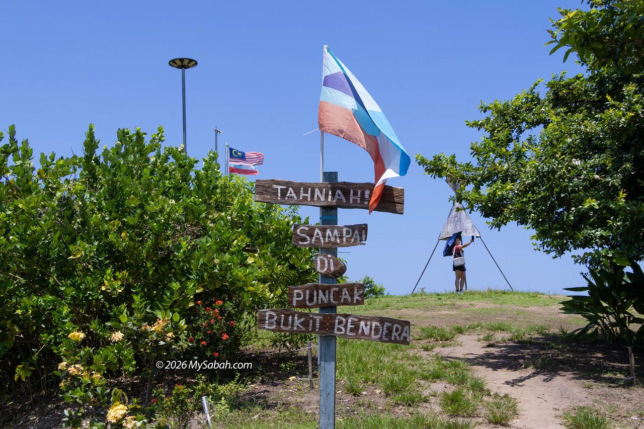
Local accounts note that in the early 1920s, the Land Survey Department built a concrete triangulation station (Trig point) at the summit. This structure was later utilized by Japanese forces during WWII as a defensive vantage point during skirmishes.
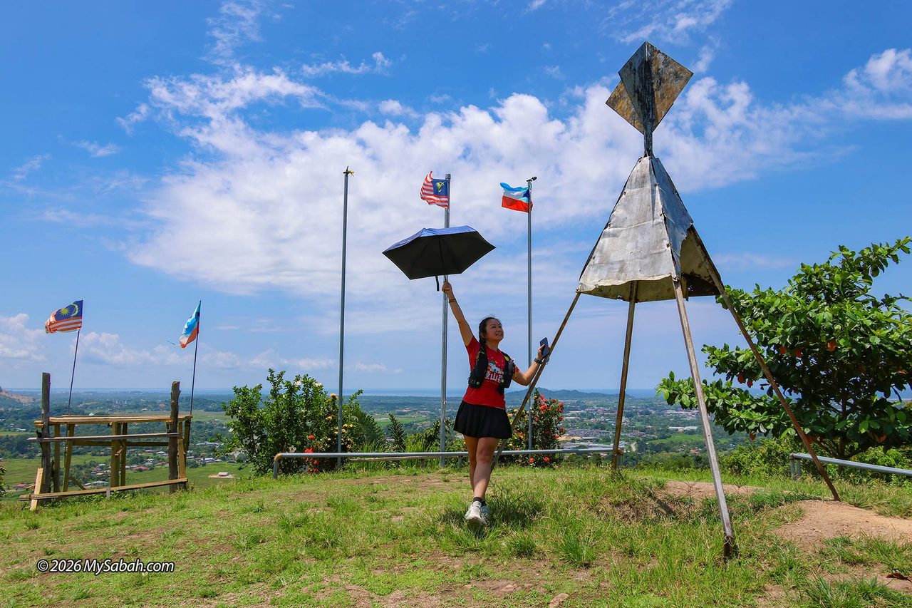
Locals mention that remnants of military infrastructure, such as dug-out trenches, foxholes, bullet marks, and bomb craters, can still be found around the hill. I didn’t spot any scar of war during our walk, so having a local guide point them out would be helpful.
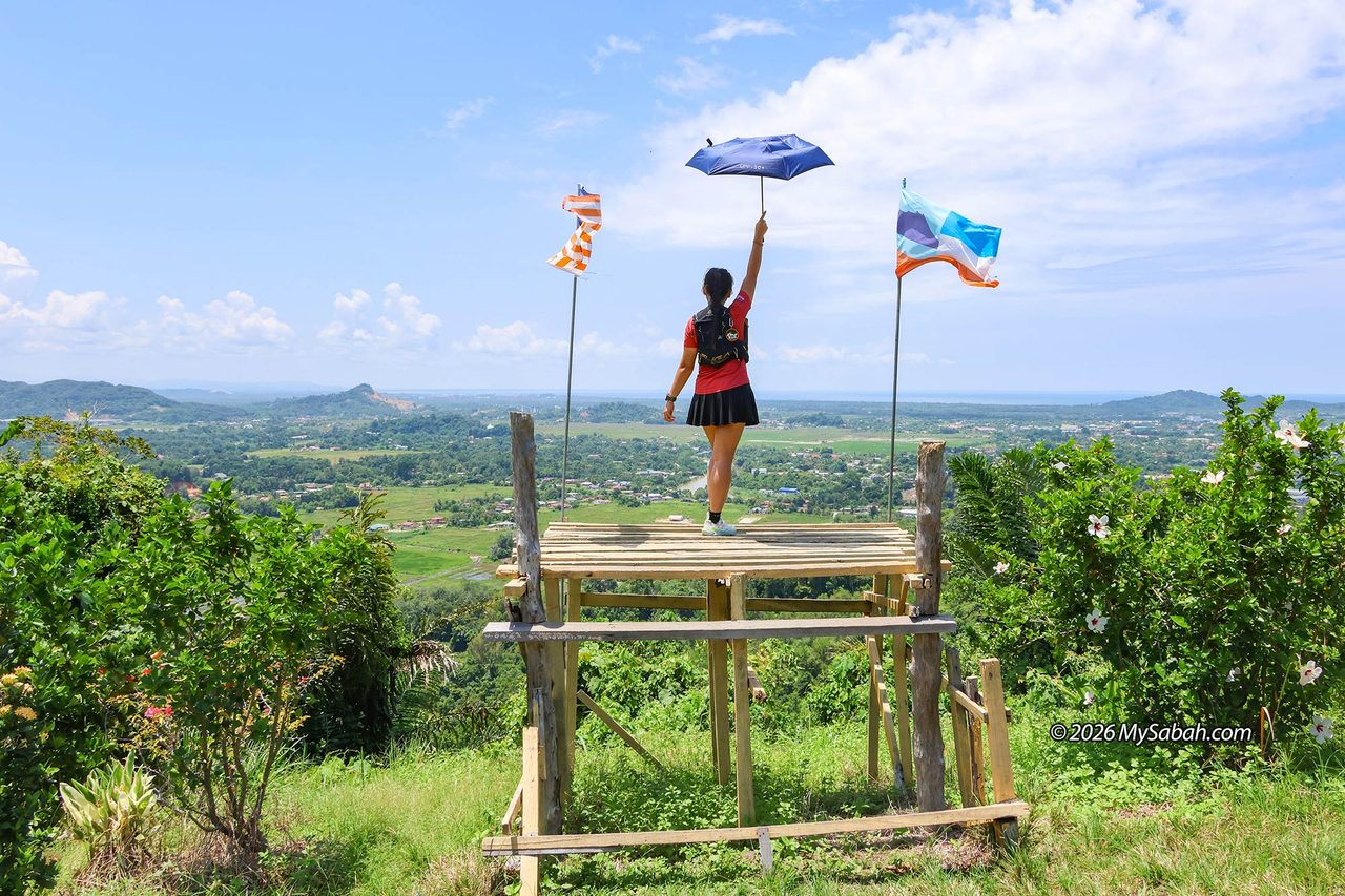
From the hilltop, you get an open view stretching across Papar and out to the South China Sea. It is a view worth returning for at dusk to watch the sunset. If you plan to hike down (or up) a different way, there is an alternative 500-metre trail descending toward Kampung Dambai on the opposite side of the hill, which is shorter but steeper.
Things to Bring
Since this is a short hike, there is no need to carry a heavy load. Wear lightweight, breathable clothing and comfortable hiking shoes.
- Drinking water
- Sunblock lotion
- Mosquito repellent
- Sun hat
- Sunglasses
- Umbrella
- Raincoat or poncho
- Mobile phone and portable power bank
- Trekking poles
- Toilet paper
- Headlamp or flashlight (if staying for sunset)
Photos taken in Papar, Sabah, Malaysia Borneo


