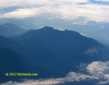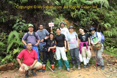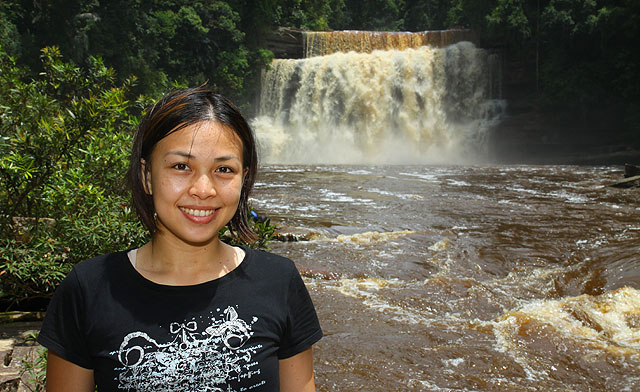
Fefukan Waterfall is the newest attraction at the south of Long Pasia. There were only 4 foreign tourists (from UK, Denmark, Italy and Holland) have been there, and we are the first group of Sabahan tourists.
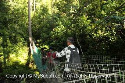
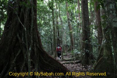
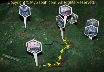
Jungle Trekking to Fefukan Waterfall
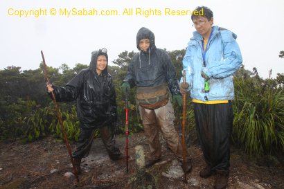
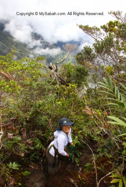
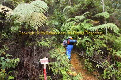
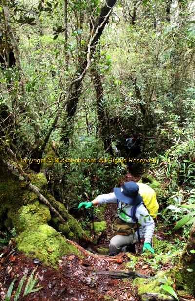
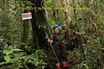
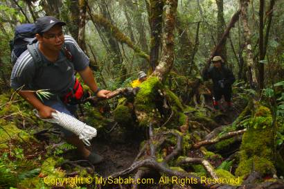
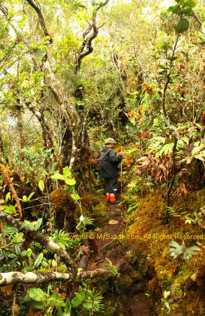
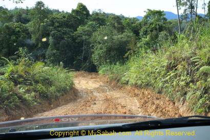
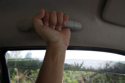
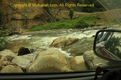
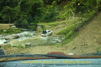
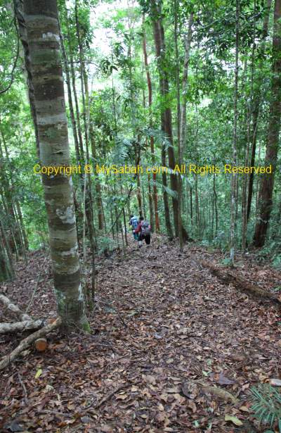
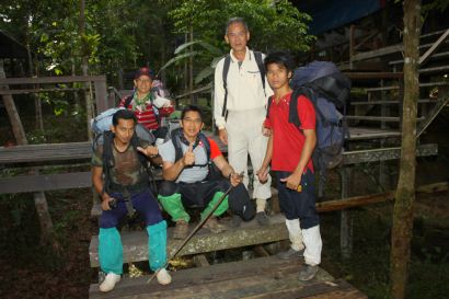
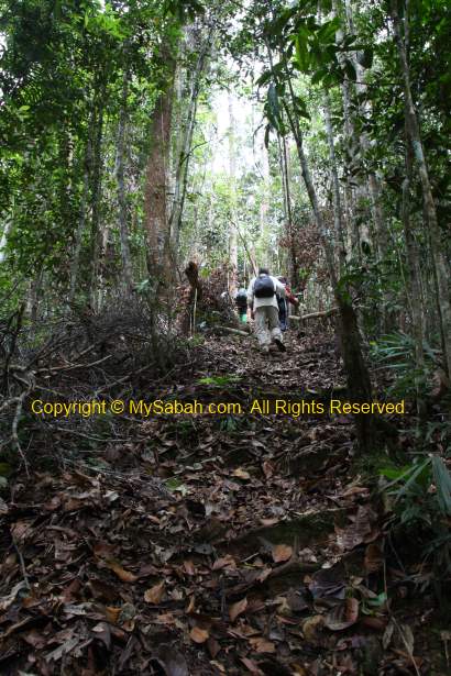
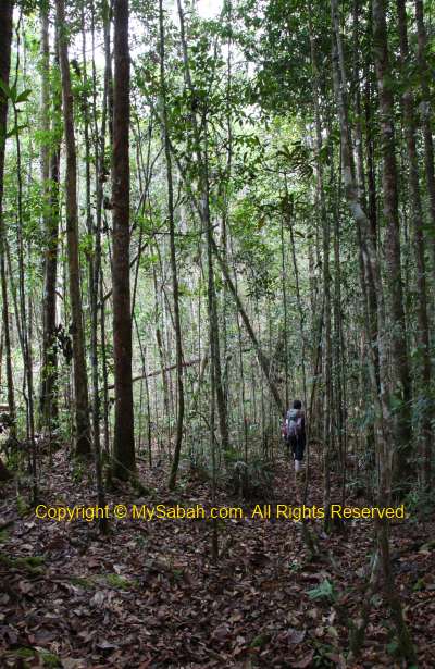
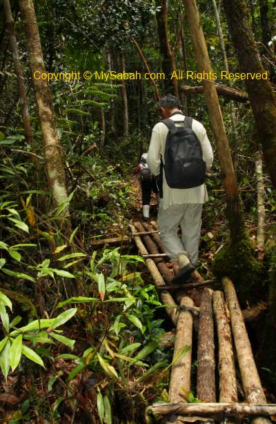
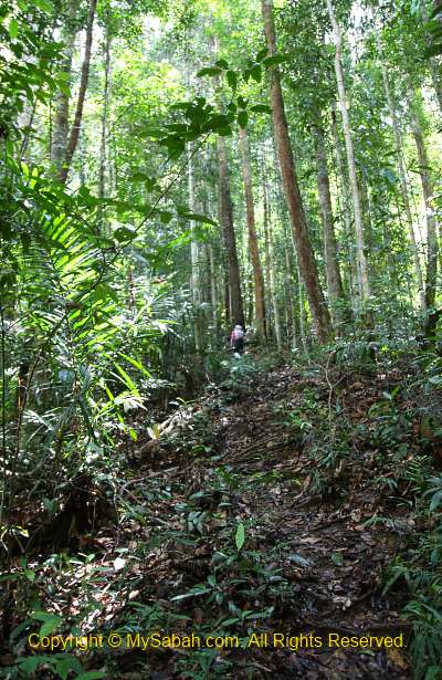
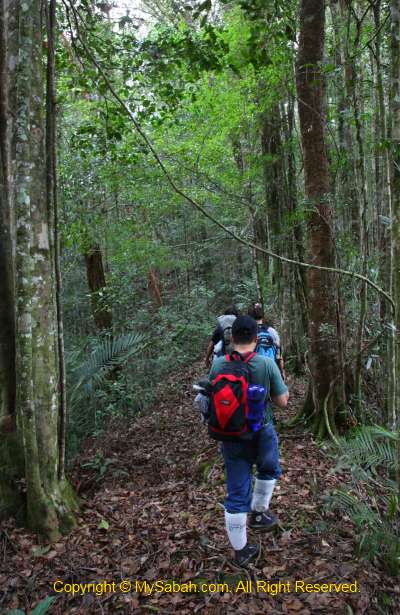
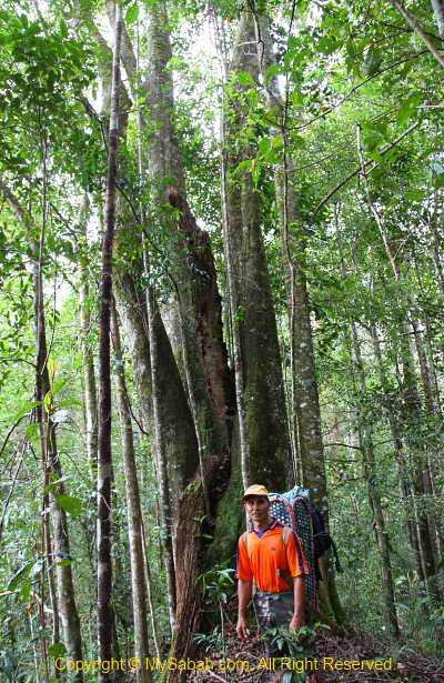
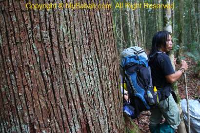
Even after 3.5 hour of rapid shooting on Matang River, we still need to walk 4 to 5 hours on 10 KM of undulating terrain to get there. We started the jungle trekking at 1PM. Luckily we have a few porters to carry some of our stuffs. In addition to the camping tent and cooking utensil, each of them can take weight as heavy as 50 Kg (but still walk faster than us)!
>> Click Here to see more photos of Long Pasia

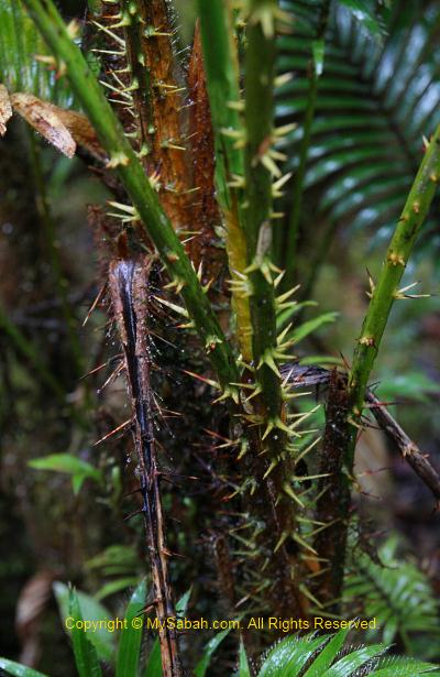
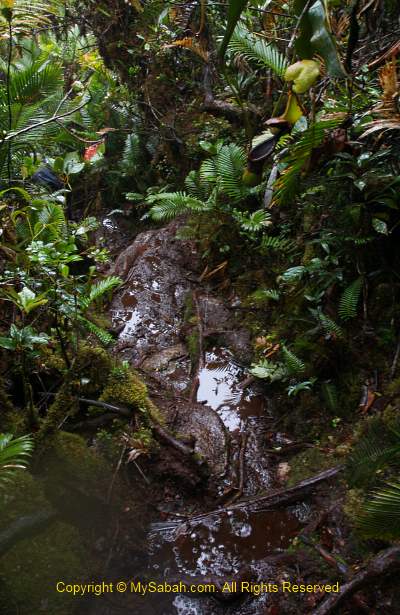
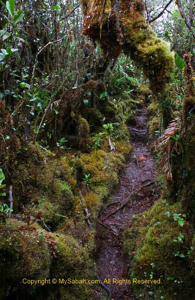
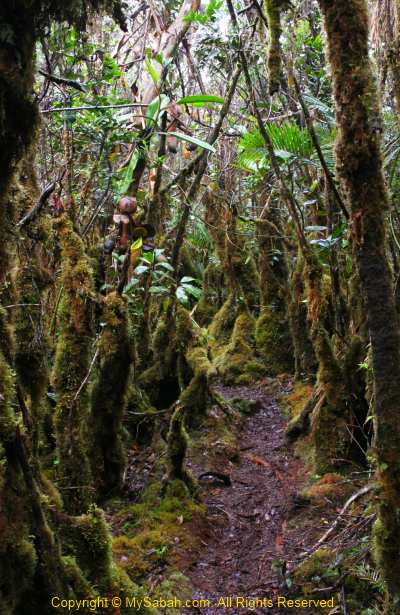
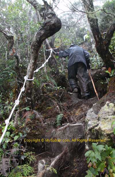
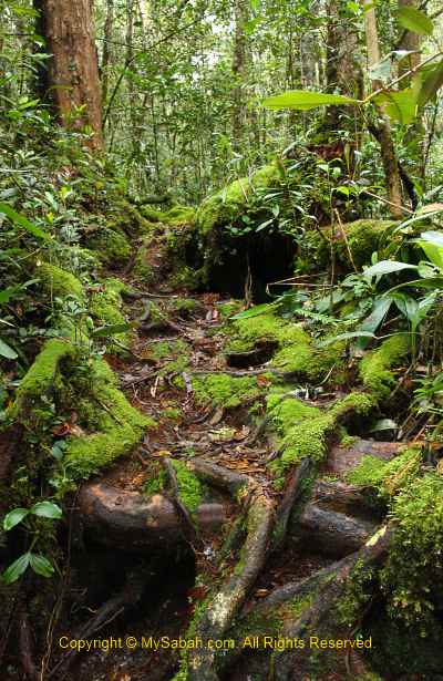
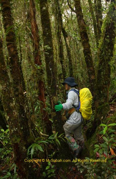
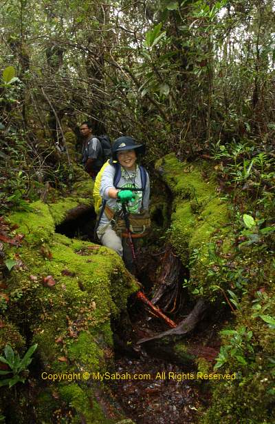
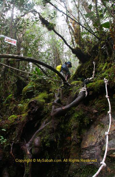
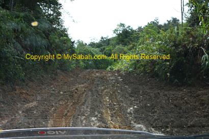
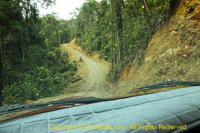
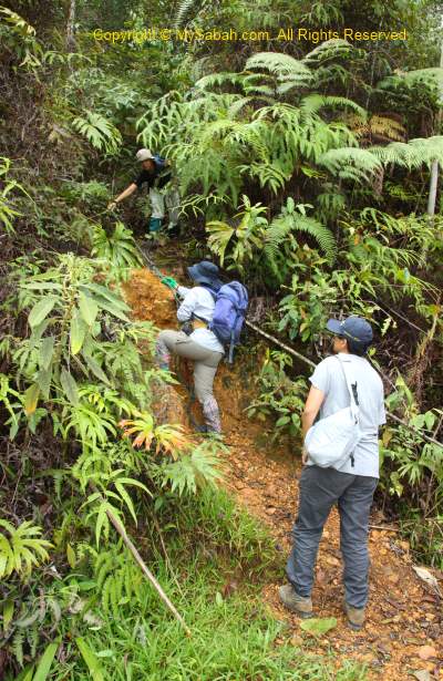
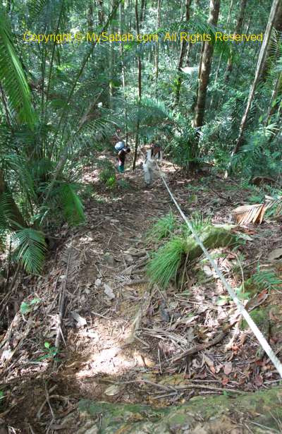
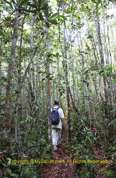
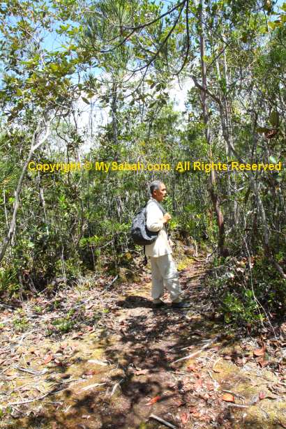
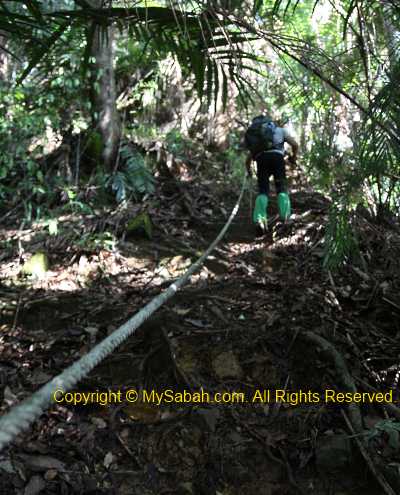
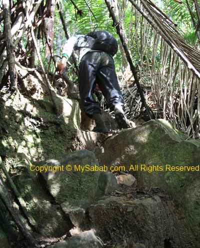
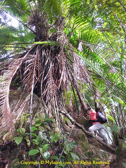
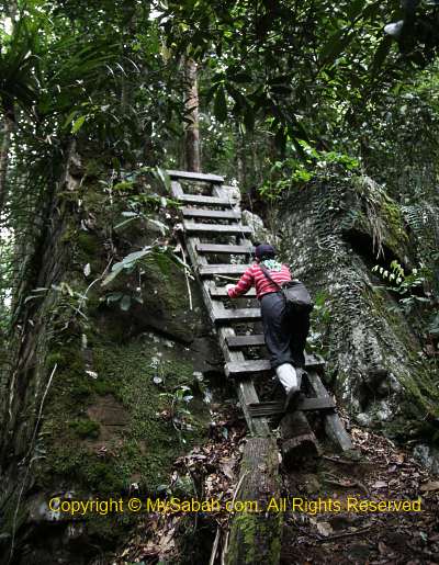
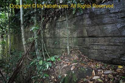
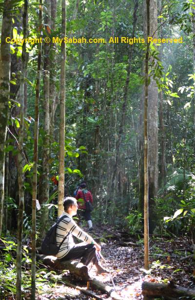
Because very few people walked this route before, the trail is in the most pristine and challenging condition. The trail is raw, slippery, muddy, foliaged and dense with undergrowth vegetation. If we are not careful, we will trip over crawling vines, rattan and tree roots on the ground, so be prepared to get dirty. A pair of Addidas Kampung shoes (“Village Addidas”, a water-proof rubber shoes) is highly recommended for such rainforest walk. For the beginning, we need to walk to the highest point, followed by easier up and down trail, then a long and steep descending trail to the campsite.
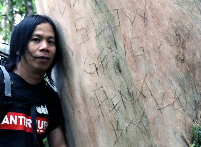
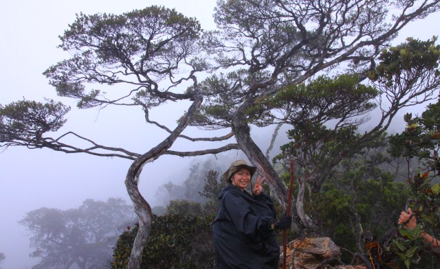
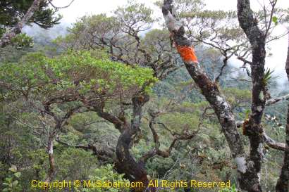
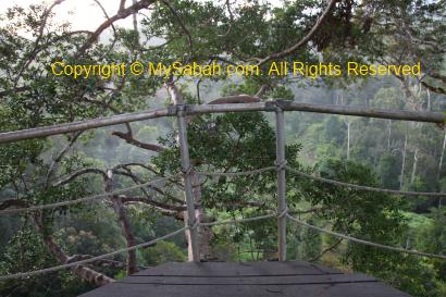
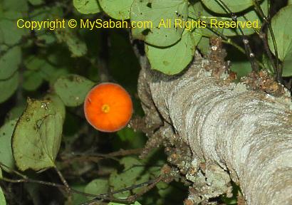
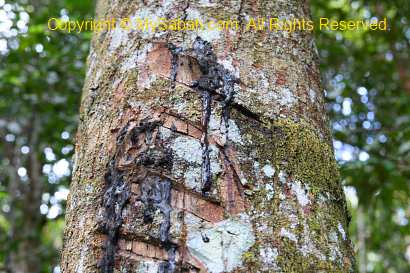
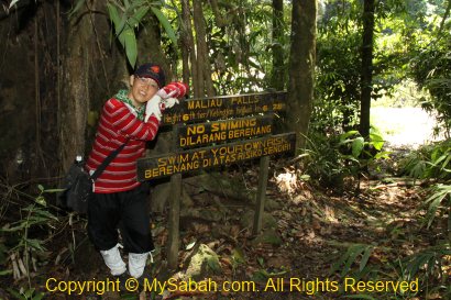
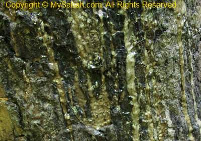
Above: teasing message on the tree bark

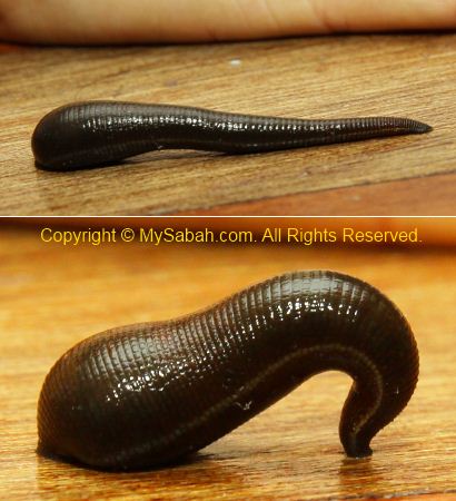
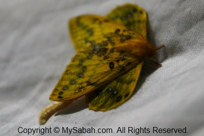
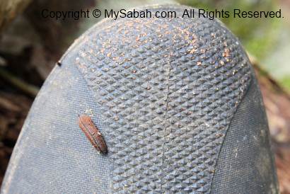
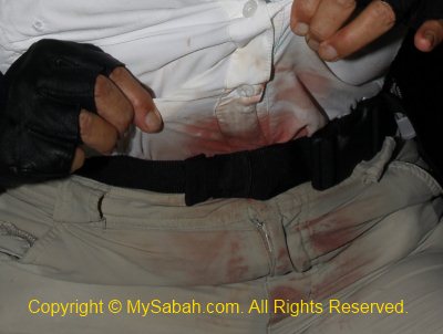
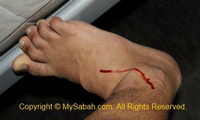
Needless to say, there are hundreds of forest leeches waiting along the trail. Very soon I found a tiger leech crawling on my camera. The good news is – once we move to higher altitude, there will be no more tiger leech but brown leech. Brown leech is much more easier to deal with and its bite is not painful (sometimes I can’t even feel it). Unlike tiger leech, which likes to hide in the shrub & bush, brown leech is mainly active on forest floor, so wearing leech sock is safe enough. I notice that the brown leeches here are so big, as big as tiger leech!
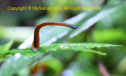
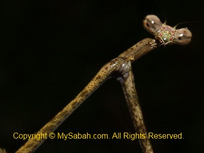
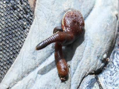
Above: Tiger leech delivers painful bite

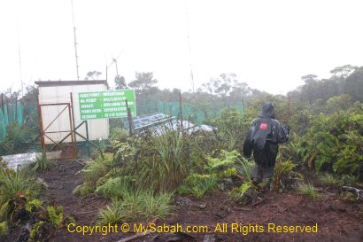
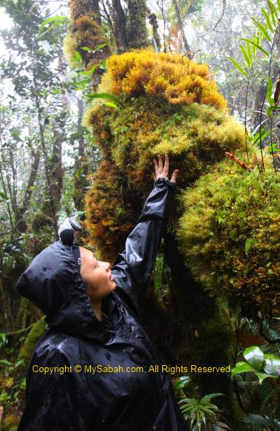
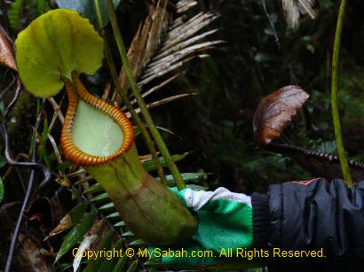
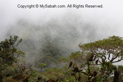
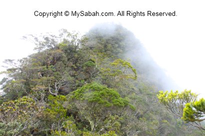
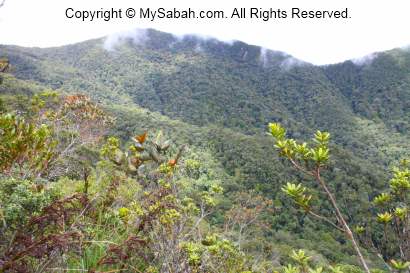
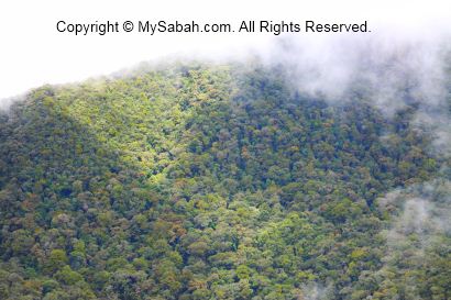
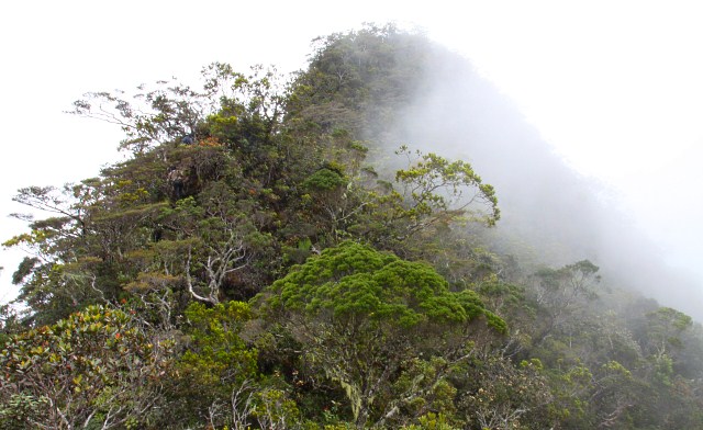
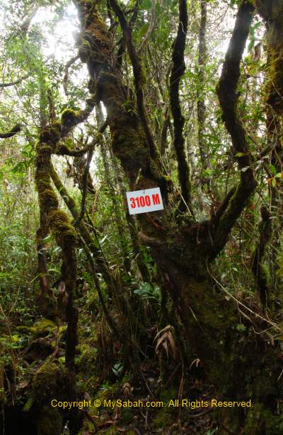
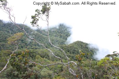
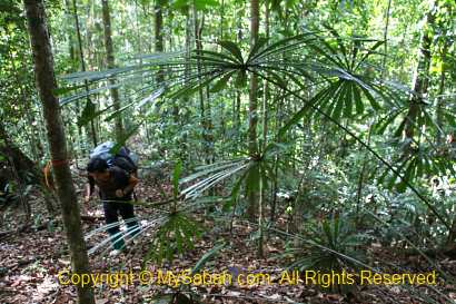
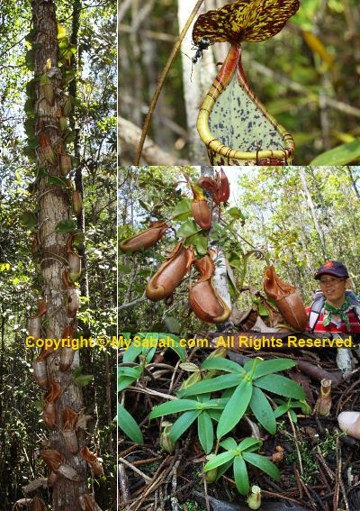
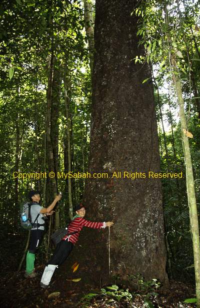
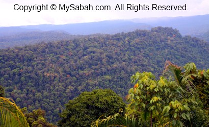
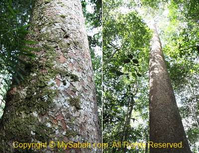
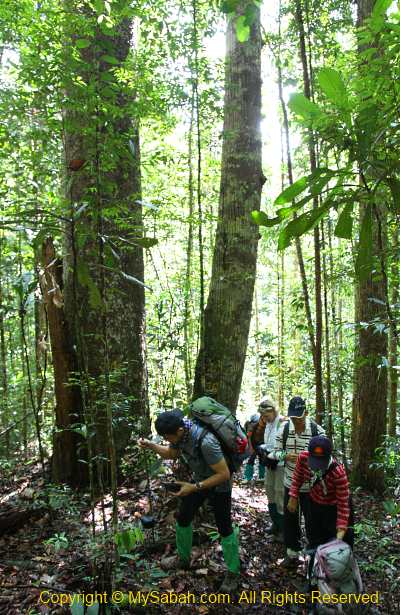
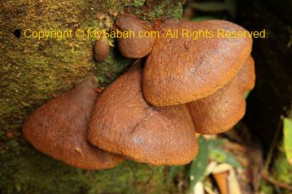
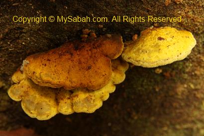
With an altitude of 800 Meters above sea level, this forest is mainly a mix of hill dipterocarp forest and lower montane forest. Most trees are slim and no taller than 25 Meters, except the Agathis and Seraya Kuning trees. The jungle trekking reminds me of Maliau Basin, Sabah’s Lost World. Long Pasia is indeed another Lost World of Sabah, but with more cultural and historical heritages. Unfortunately, the forest here is not protected by the government.
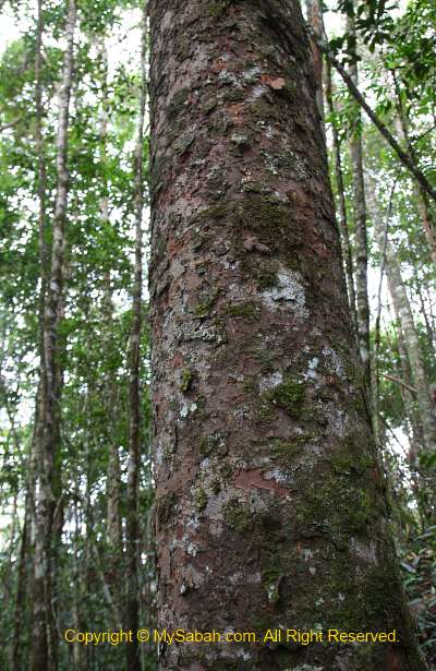
Above: Agathis tree only grows between hill forest and montane forest
Above: huge seraya kuning tree

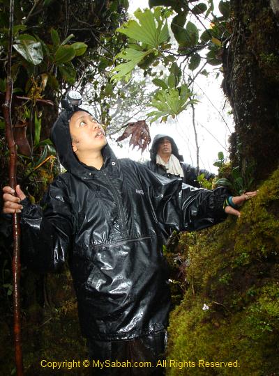
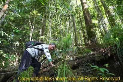
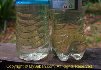
We also stopped occasionally to explore some jungle resources. The guide shows us how to get fresh water from the wild vines. I drank and it tasted fresh, with thin smell of grass. The water also can be used as eye tonic. Then they pluck some wild oranges for us to try, it is very sour but an energy booster.
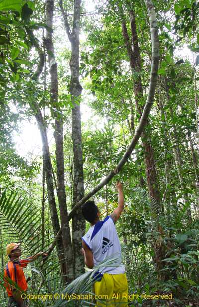
Above: cutting vine for fresh water
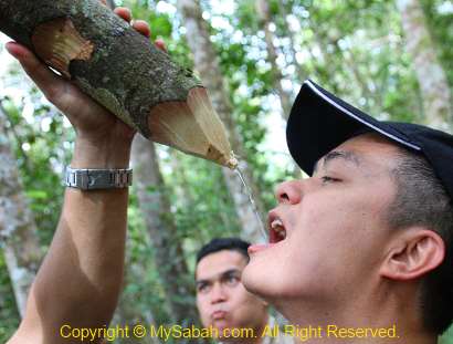
Above: drinking water from vine

>> Click Here to see more photos of Long Pasia
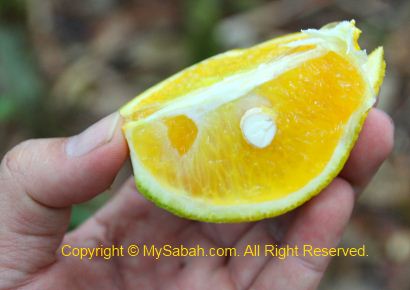
Above: wild orange

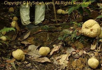
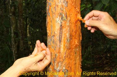
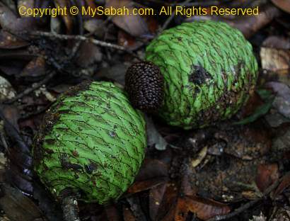
We found some big chunk of resin beside an Agathis tree. They are hard and look like crystal. The guide took some with them coz these resins are good fire starter. In old day, they use this resin as torch and candle. It burns like rubber and release black smoke. But be careful not to let the burning liquid drips on your skin, coz it sticks and able to burn you badly.
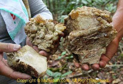
Above: resin of Agathis tree

Click Here to see bigger video
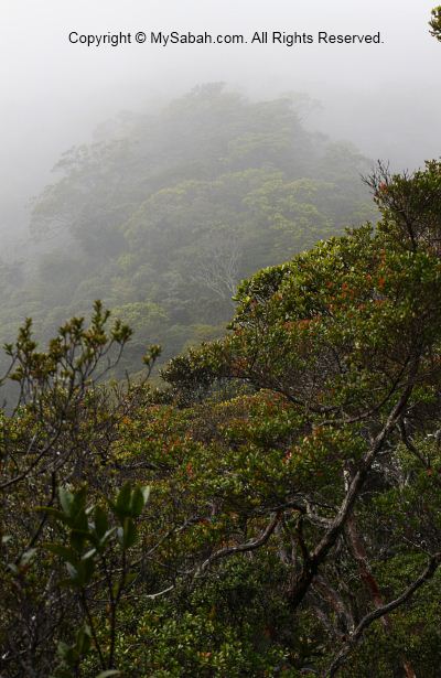
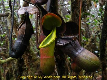
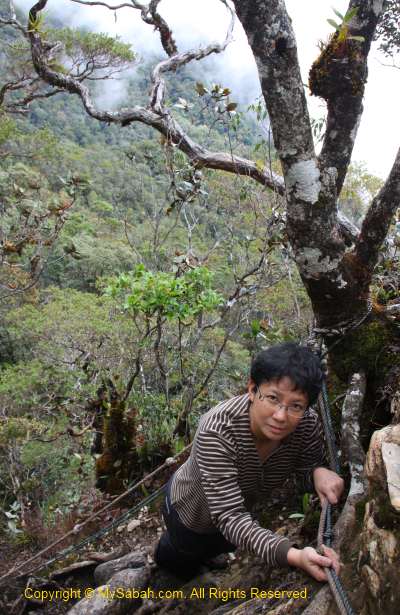
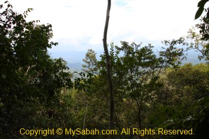
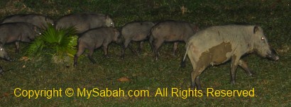
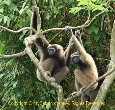
After passing the highest point, the trail is less rugged and we walk quite fast. Our favourite part is the ridge walk. It is very windy and cooling, like a huge air-cond, and blows away our fatigue. There are supposed to be a lot of wildlife such as deer around, but we see only a few monkey. However, we see the wallow of wild boar and claw marks on the tree bark.
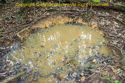
Above: wallow of wild boar
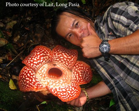
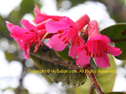
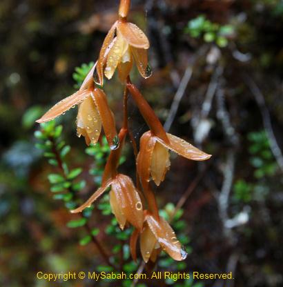
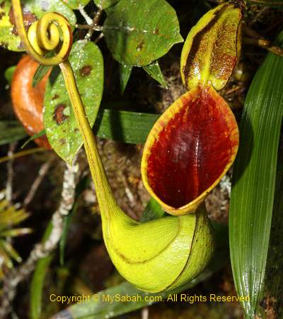
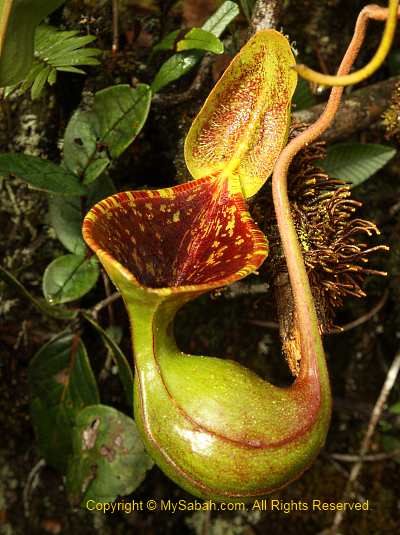
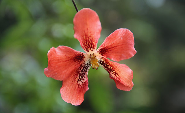
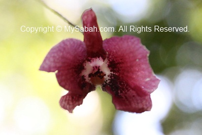
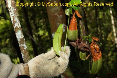
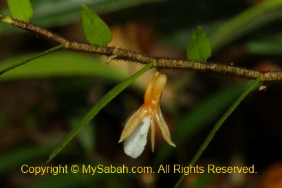
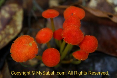
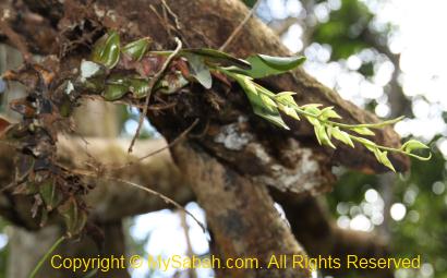
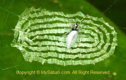
If you are very lucky, you would see blooming rafflesia pricei before Fefukan Waterfall, the one shown in photo above was blooming in April 2012.

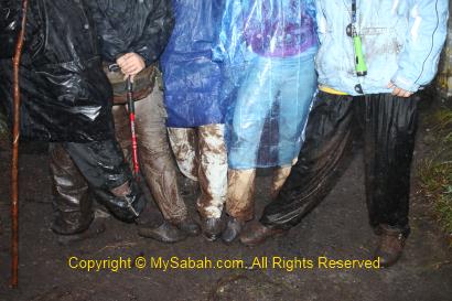
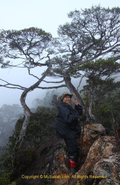
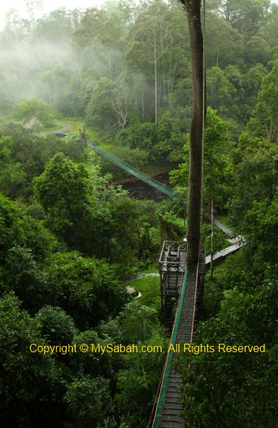
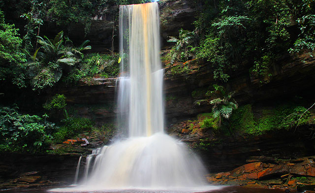
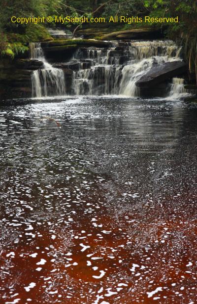
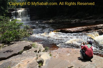
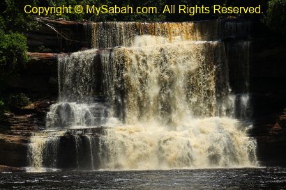
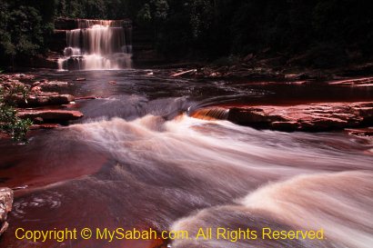
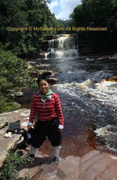
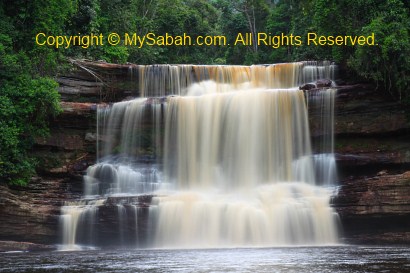
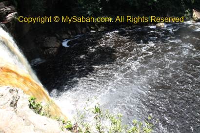
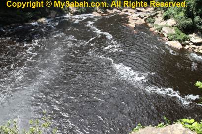
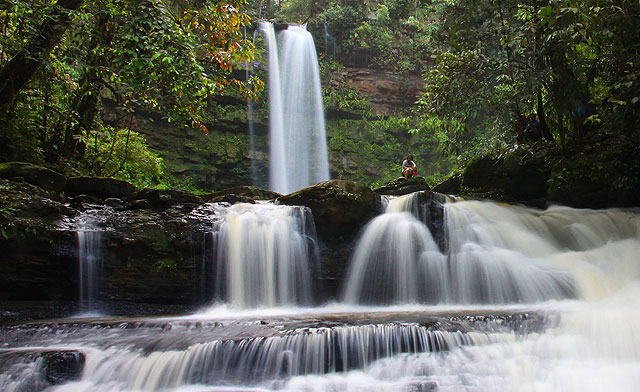
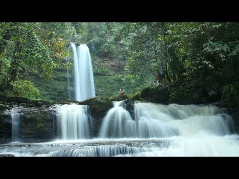
As the trail is not clearly visible and no signage, we follow our guide closely, otherwise there is a 100% chance of getting lost here. Sometimes Lait stops and looks around, as if he is trying to recall the right way, making me nervous. “That’s the fun part!” they say. I have no idea how far we go until I hear the distant waterfall. Walking the descending trail is really a knee-breaking experience. The trail is narrow and slippery so we can’t move fast, putting a lot of stress on our knees. I almost want to cry when we saw Fefukan Waterfall at 5:30pm.
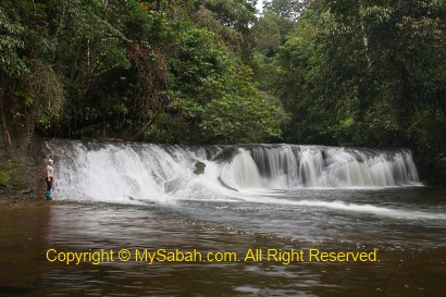
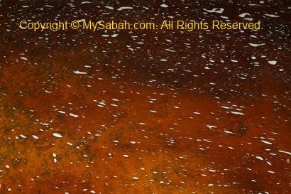
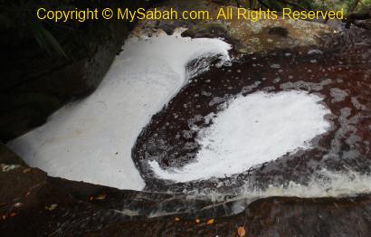
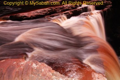
Above: Fefukan Waterfall
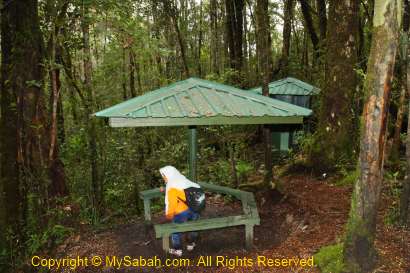
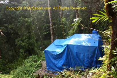
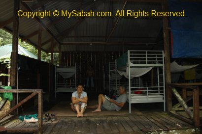
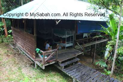
Campsite of Fefukan Waterfall
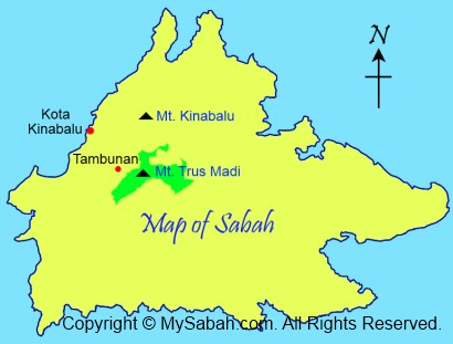
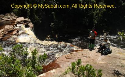
Our campsite is only 30 Meters away from Fefukan Waterfall. In fact, we went so far that we were so close to the border of Kalimantan. Another walk for 3 to 4 hours will lead us to the immigration checkpoint at the border. We are at the Heart of Borneo!
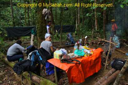
Above: campsite at Fefukan Waterfall
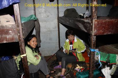
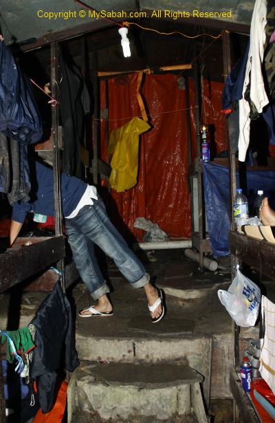
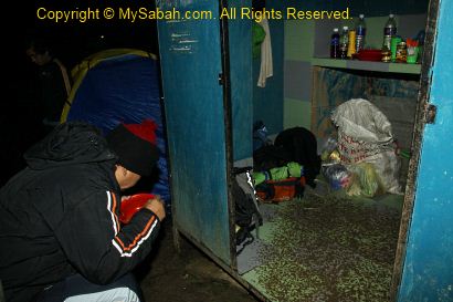
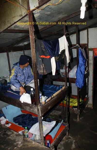
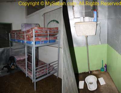
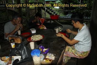
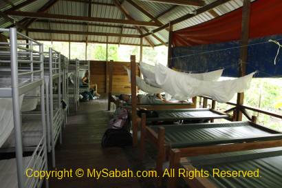
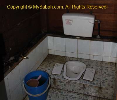
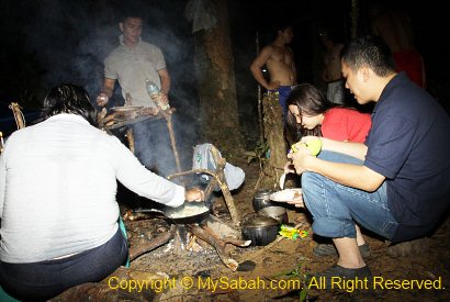
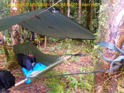
It is getting dark soon, so the guide and porters setup our camp and beds next to the river, and prepare our dinner. They don’t want to damage the environment, so there is no permanent facility here, no toilet, no hut, no cabin… All we have are hammock or canvas beds, with a sheet of canvas on top to block the rain. I never slept on a hammock before, so I choose the hammock bed closest to the waterfall.
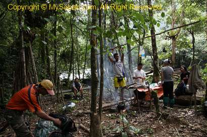
Above: setting up campsite
Below is a 360 degree view of our campsite:
Click Here to see bigger video
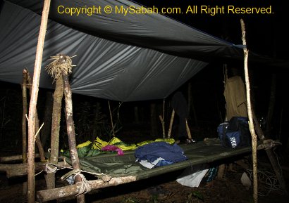
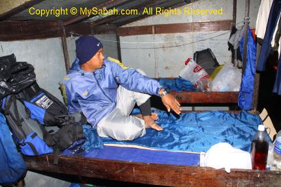
Above: canvas bed

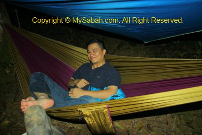
Above: hammock bed
>> Click Here to see more photos of Long Pasia
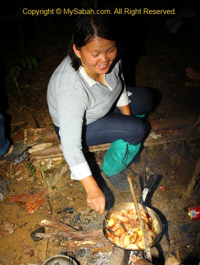
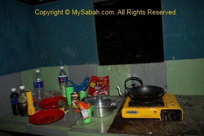
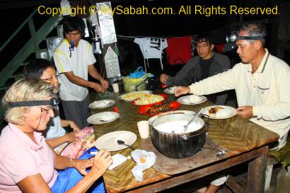
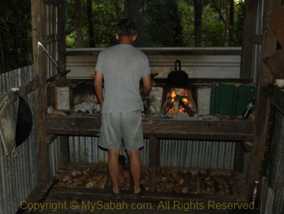
Above: Mary cooking dinner

Above: there is no light, so we eat in the dark with torchlight

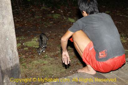
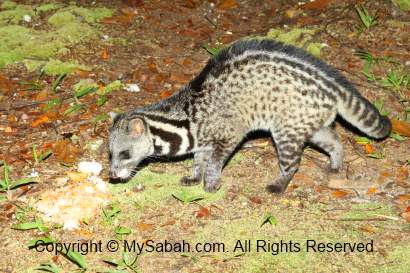
Night Safari
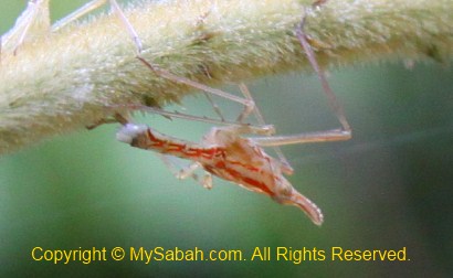
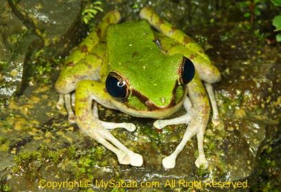
We had some rice, sardine (with onion) and instant noodle as dinner. Everyone was so tired so most went to bed earlier. Lait decided to show me around the campsite and waterfall at night to spot interesting creatures. We found some frogs, insects and fireflies. Though leech is less active at night, I still get 6 of them sneaking into my shoes. Then it started to rain. I had no choice but going to bed.

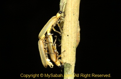
Above: fireflies playing 3P wild sex

>> Click Here to see more photos of Long Pasia

The Cold Night
Can you imagine sleeping in the forest of Heart of Borneo and next to a waterfall? It just can’t get any better than this. I enjoyed the sound of nature. There are occasionally some twinkling fireflies passing by my tent. I fell asleep very soon. The temperature can plunge to 14 degree Celsius (14°C) at night. It was so cold that I shivered in my thin sleeping bag, then I had to wake up in midnight to wear extra clothing. My knees were quite painful coz of day-long trekking.
Above: my hammock bed

About 2am, in total darkness, my hammock shakes violently, as if a big animal knocks on my tent. I was so shock and pointed my torch light around, but see nothing. I found that my hammock is lowered by a few inches, so I guess the knot got loosen and slide down, phew… scary but funny, haha.
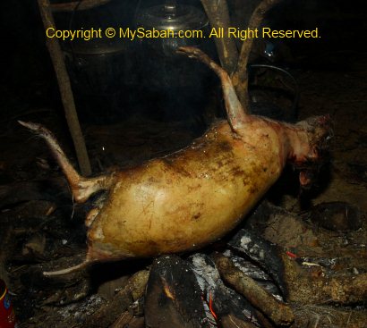
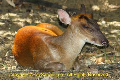
Above: preparing mouse deer meat for tomorrow’s meal

Photos taken in Long Pasia, Sabah, Malaysia Borneo