Continued from Part 2…
(You may start reading from Part 1)
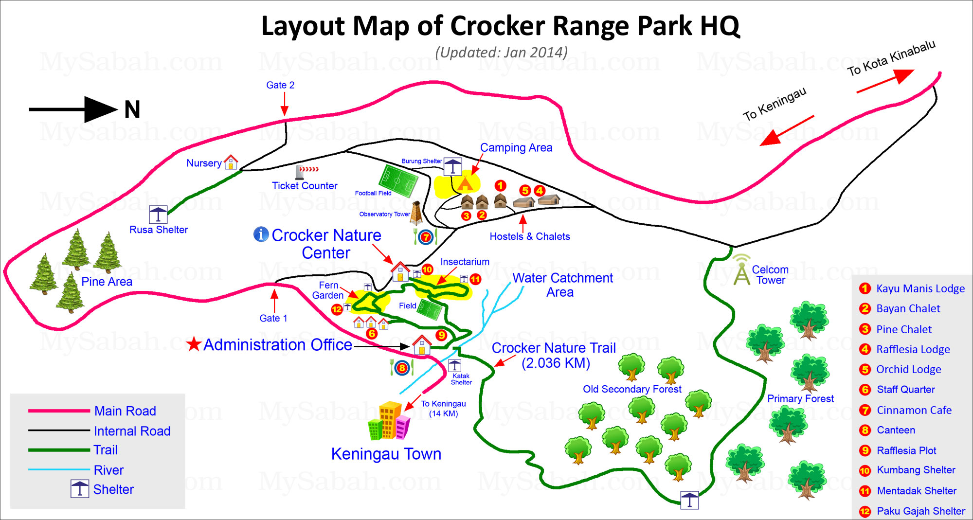
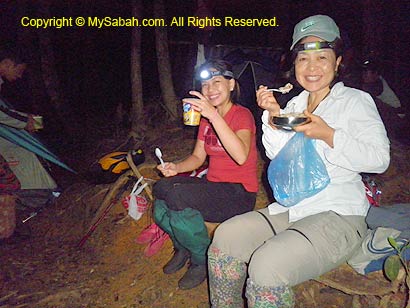
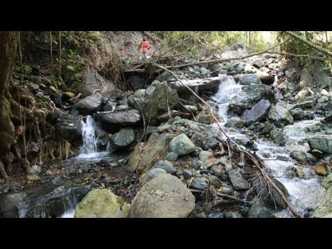
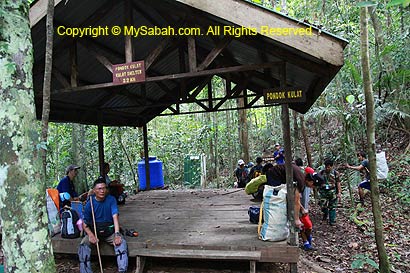
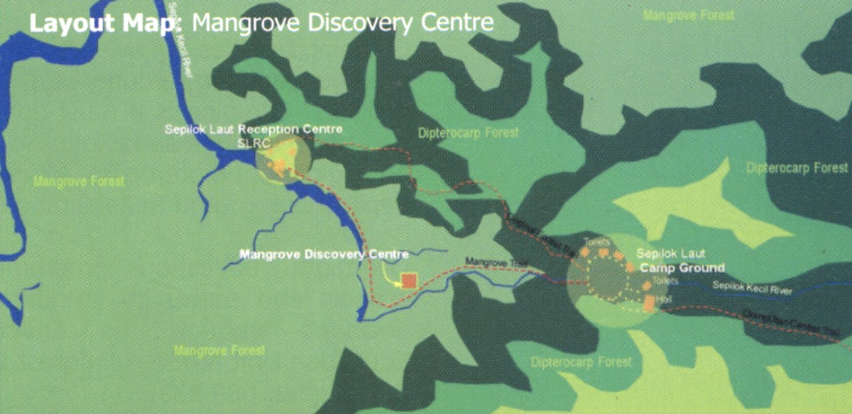
Here comes the highlight of my trip in Crocker Range Park, the night walk! I did two night walks, 1st night in Insectarium, and 2nd night in 2.036KM Crocker trail. You see nothing much in both places during daytime, but they turn into a busy world when night falls. If you are interested in night walk, you can arrange in advance with the Park at Administration Office or Crocker Nature Center during office hours. They will send a ranger to guide you. Usually the walk starts at 7:30pm.
Night Walk in Insectarium
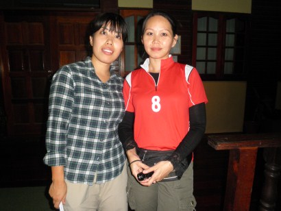
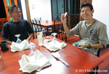
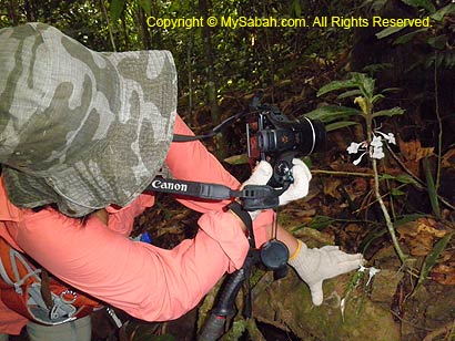
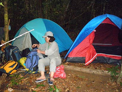
For my 1st night walk in Insectarium, the Park sends two ladies to accompany me, wow. They asked, “would you mind if the guide is female?” I smiled and replied, “No… Of course not” (why should I, hehe..). Oh, by the way, the lady at the left is Tomomi Kan, a Japanese volunteer from JICA. At the right is Lucy Suin, a Sabah Parks staff.

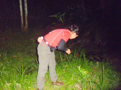
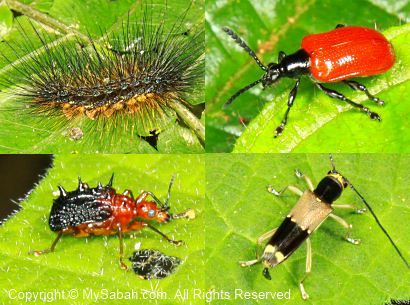
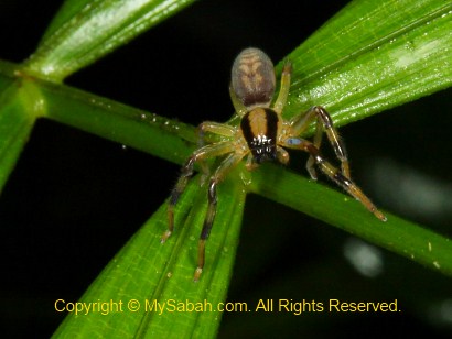
No kidding… these girls have sharp eyes. They started to discover bugs the moment we stepped into Insectarium. Normally girls will scream when they see bugs. However, these girls are so happy to find creepy creatures in the dark, like enjoying a treasure hunt. With the aid of torchlight, we search every inch of Insectarium and left no leaf unturned.
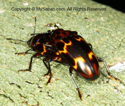
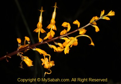
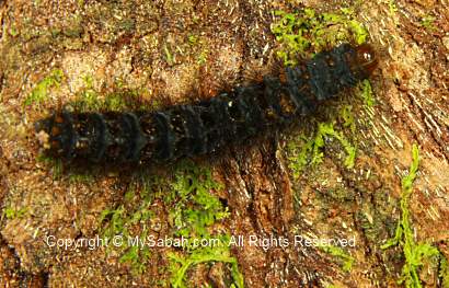
One by one, the bugs reveal themselves under their torchlight. I wonder how they did it. Probably they are so used to insect collection. Crocker Range Park has over 400 species of insects, making the Park one of the best spots for collecting specimen.


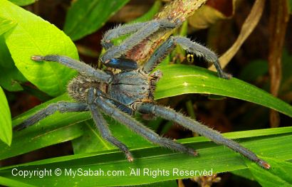
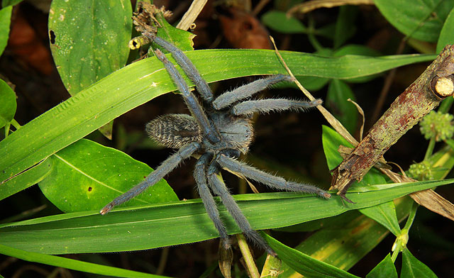
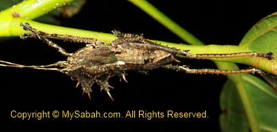
Above: this might be a Malaysian Earth Tiger (Cyriopagopus thorelli) tarantula spider
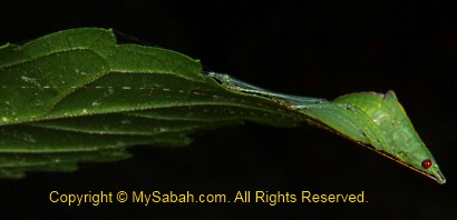
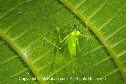
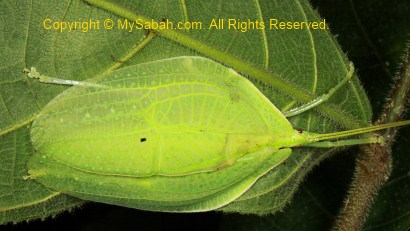
Above: a cricket disguised as the tip of leaf!


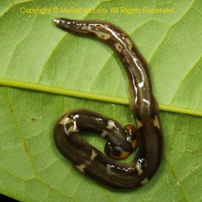
There are more bugs discovered when we moved closer to the pond and stream areas. It was such a joyful experience!
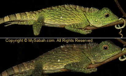
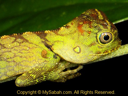
Above: an agamid that can change color in minute

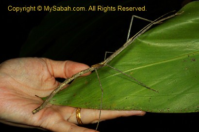
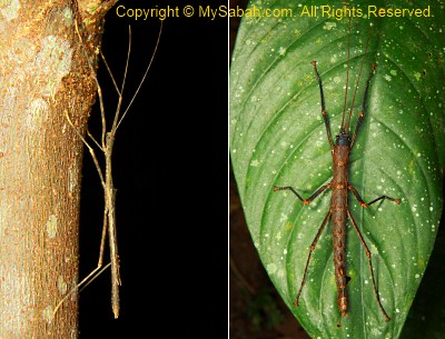
Above: a very long stick insect found by Lucy, the highlight of the 1st night walk.
It started to rain at 10pm, so we had to stop our night walk and said goodbye to each other. Anyway, I’m really happy to bag so many good shots.
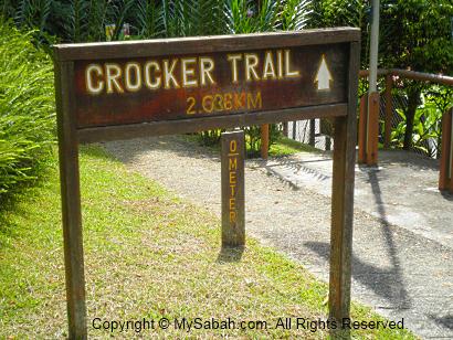
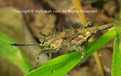
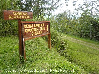
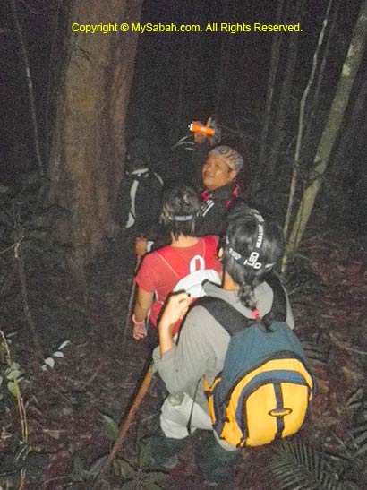
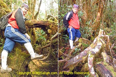
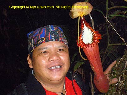
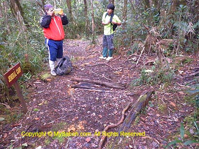
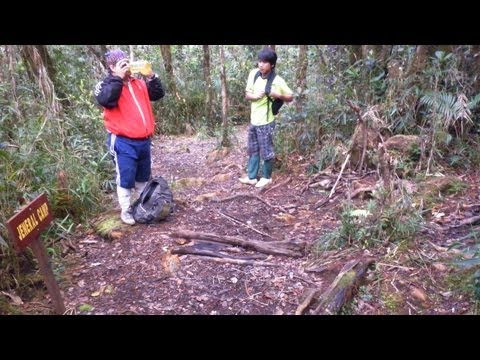
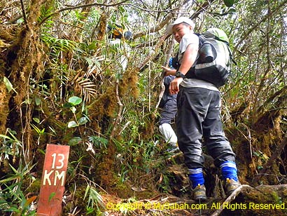
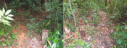
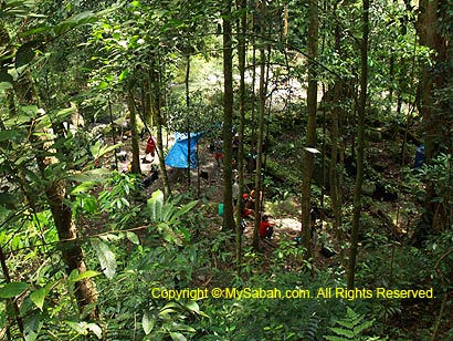
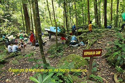
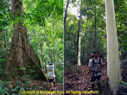
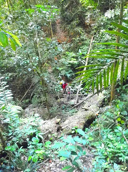
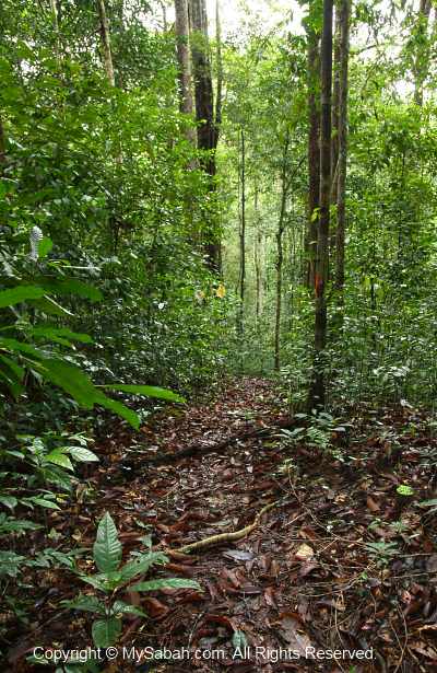
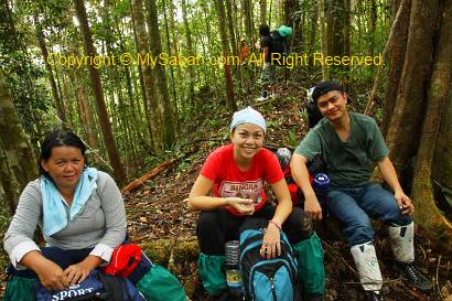
Night Walk in Crocker Trail
Because of the exciting experience, I decided to arrange another night walk in Crocker Trail (2.036 KM) next day. This time the Park sends Mr. Rosandy Angkusup to guide me. I feel sorry to make them work until late night in fasting month (Puasa), so I tipped all the guides. Same as the lady guides, Rosandy has a trained eyes to beat the smart camouflage by bugs, especially stick insects.
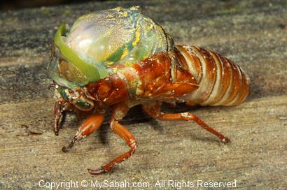
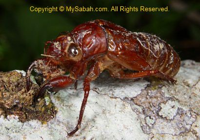
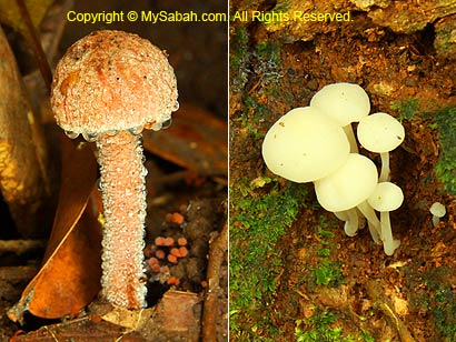
Above: a moulting cicada. The moulting was so slow that we couldn’t wait until it finished.

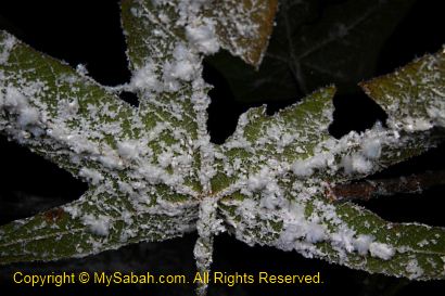
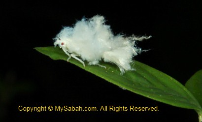
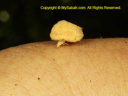
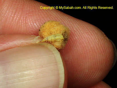
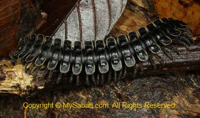
Above: the cotton-like substance is a group of Wooly aphid insect, amazing…


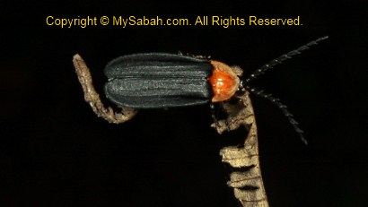
We saw at least 3 fireflies in the jungle.

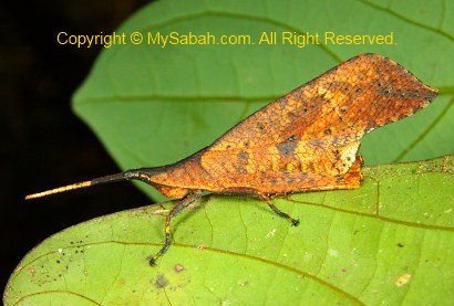
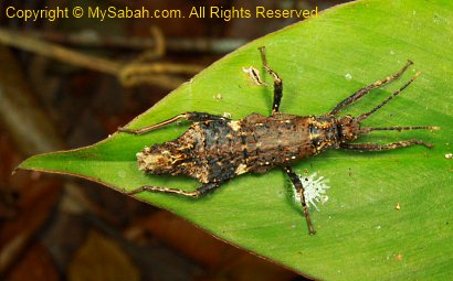
It is so impressive that crickets can look so different to one another.
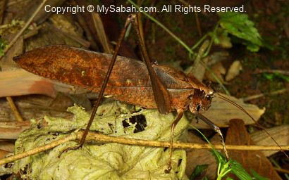

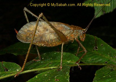

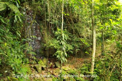
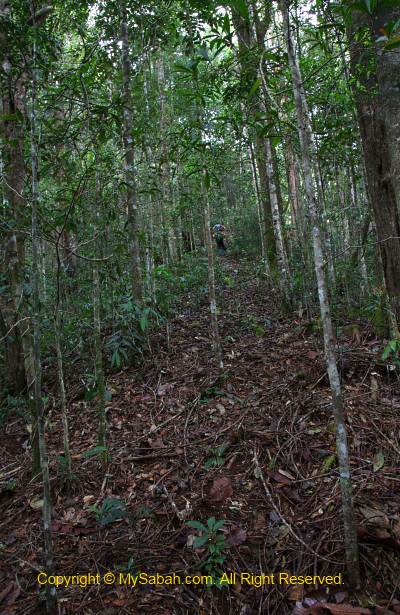
Above: this alien-like cricket was shown in National Geographic channel before. The Crocker Trail is far more promising because the trail is inside the real forest.

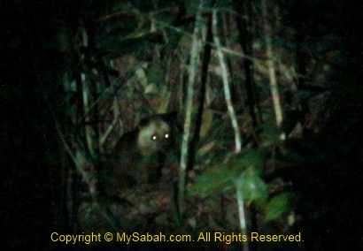
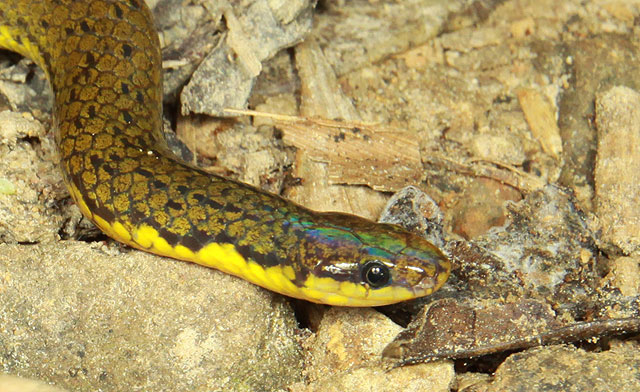
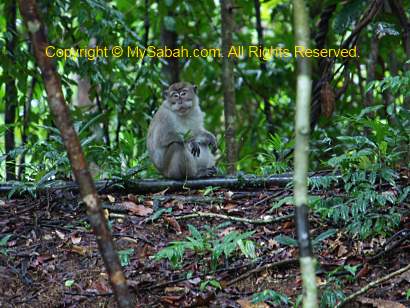
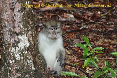
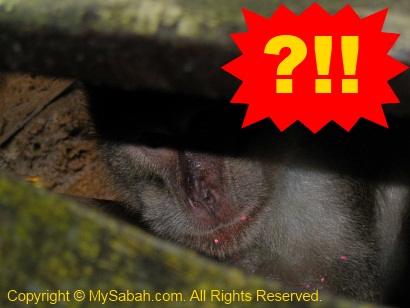
Besides bugs, we also saw a Shama bird sleeping on tree, a mouse deer, heard the loud barking of a barking deer (probably smell our presence) and 2 civets at the edge of primary rainforest. We would get some if we carry hunting rifle, haha. Of course, poaching is prohibited in national park.

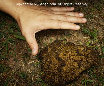
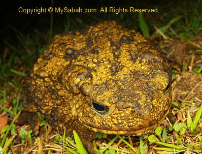
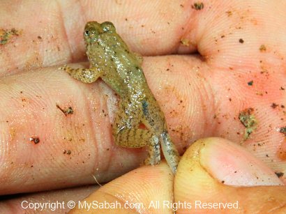
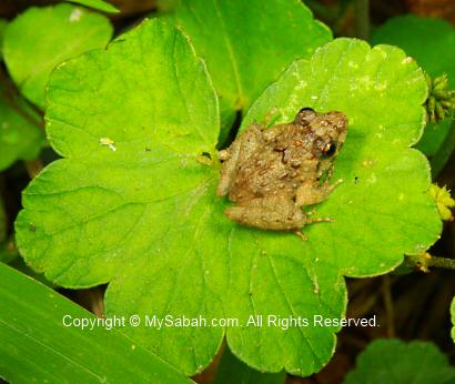
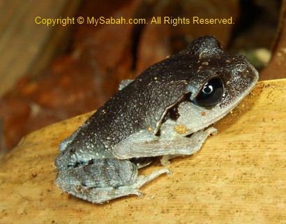
Above: giant river toad


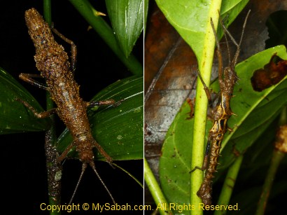
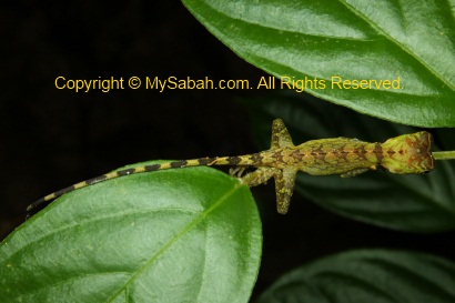
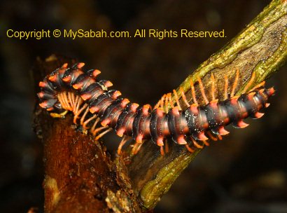
Stick Insects
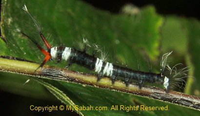
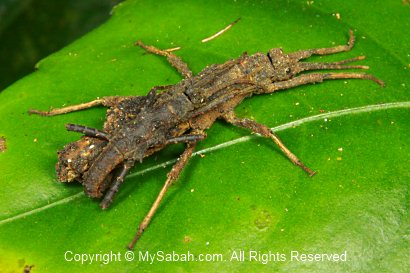
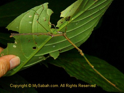
Rosandy is so professional in spotting stick insects (I always miss it!). I never saw so many stick insects in one night, nor do I know stick insects have so many species and variety. Some can play dead and some can release foul smell as a defense. Some can fly while some can’t. But all of them have one thing in common – they look like stick.

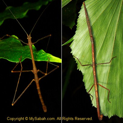


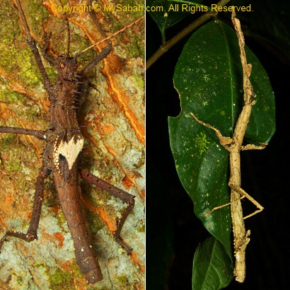

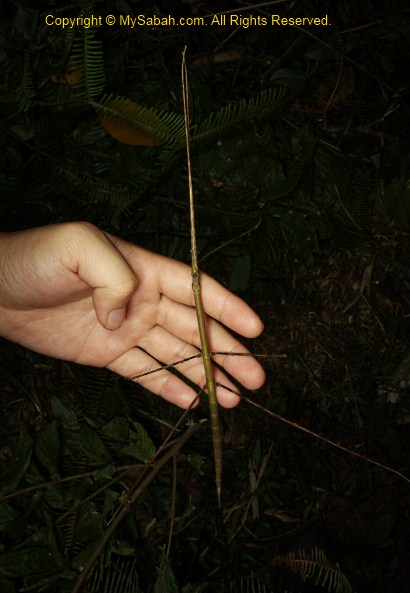
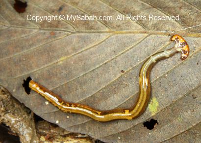
Above: very long stick insect

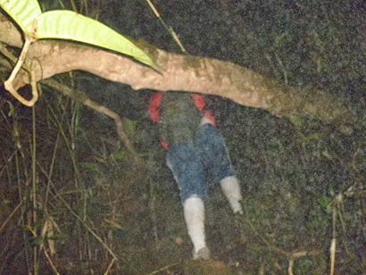
We moved so slowly that the night walk ended at 12:30am and our torchlight was almost out of battery. This is the best night walk I’ve had. I’ll be back one day.
WARNING: I know this blog would attract insect collectors. Please be informed that collection of any flora & fauna in national park without a permit, whether the subject is dead or alive, is a serious offense. You will be fined heavily or even jailed for illegal collection. Crocker Range National Park is NOT a place for you to look for toy pet!!!
Click Here for Next Article (part 4)
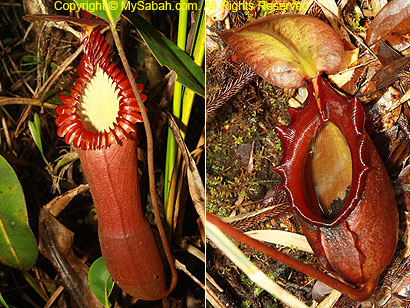
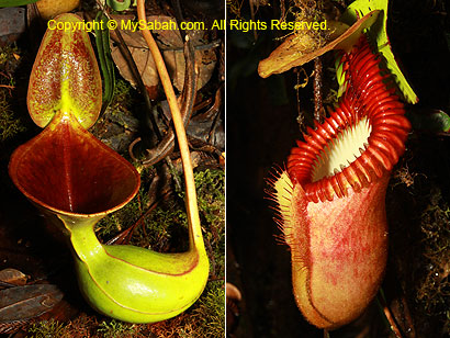
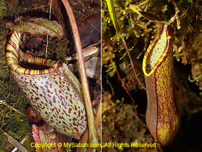
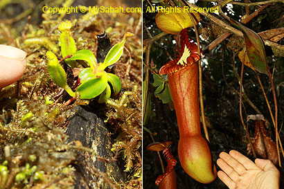
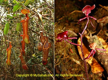
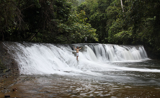
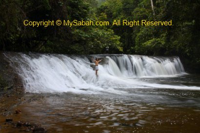
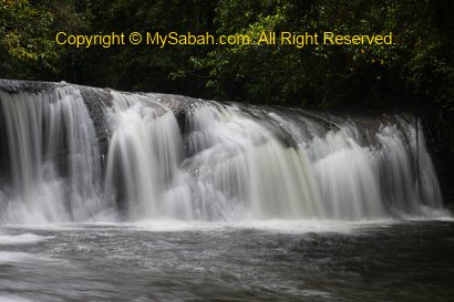
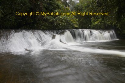
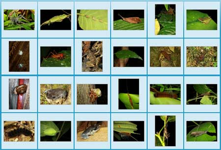
More Photos
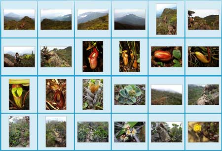
You may check out the photo album of Crocker Range Park for more nice pictures:

All Articles
Part 1: Crocker Nature Center, Insectarium, Fern Garden & Rafflesia Plot
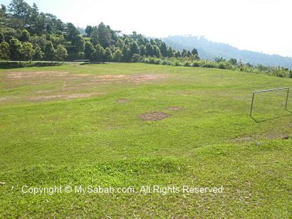
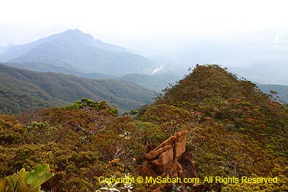
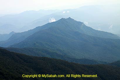
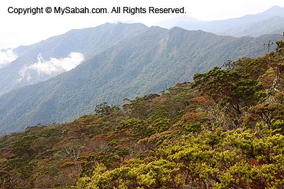
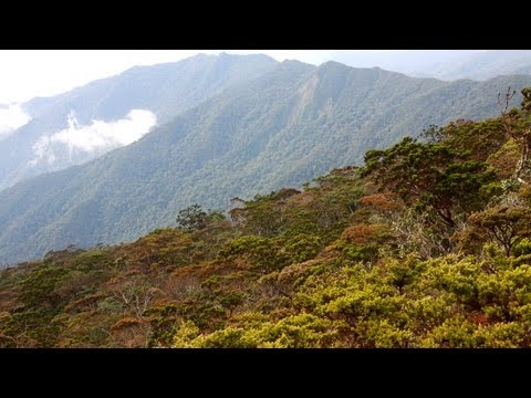
Part 2: Crocker Trail, Pine Trail & Observatory Tower
Part 3: Night Walk (this article)
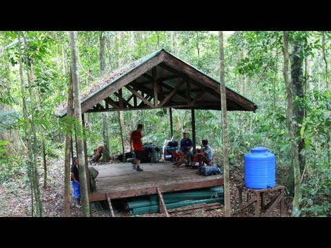
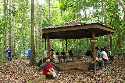
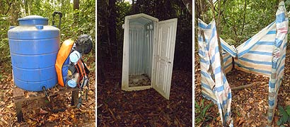
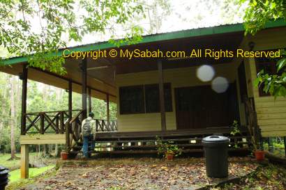
Part 4: Accommodation in the Park
Photos taken in Keningau, Sabah, Malaysia Borneo
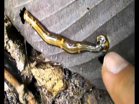
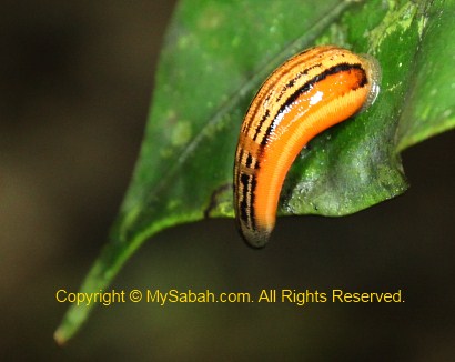
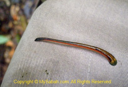
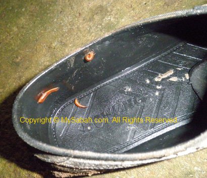
More Night Walk photos:
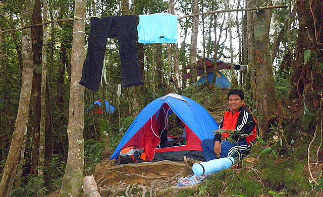
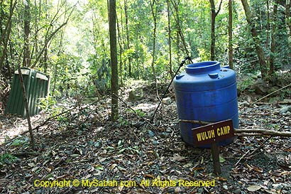
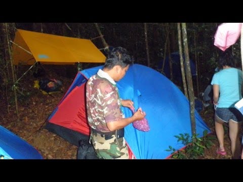
Miki Survival Camp