Continued from Part 2…
(You may start reading from Part 1)
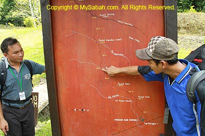
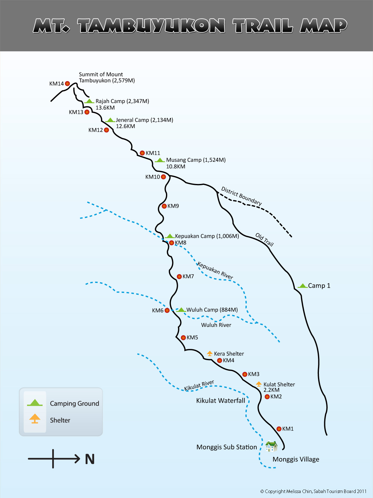
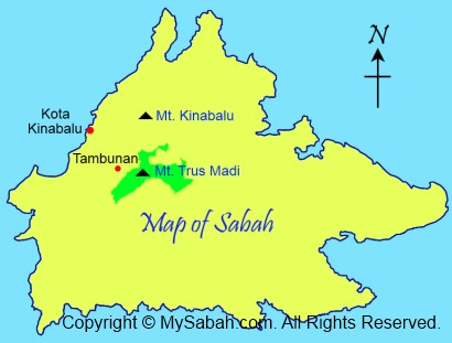
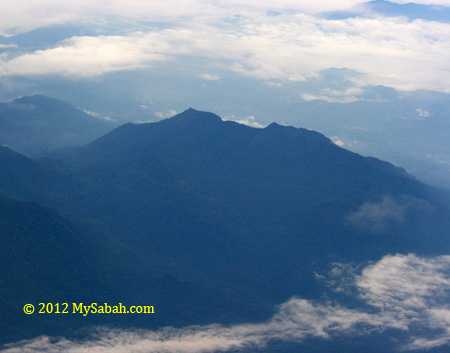
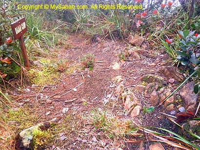
Today is the BIG day because we will go to the summit. Please refer to trail map for the location.
DAY 3. To the Summit!
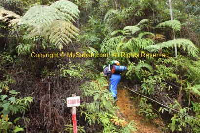
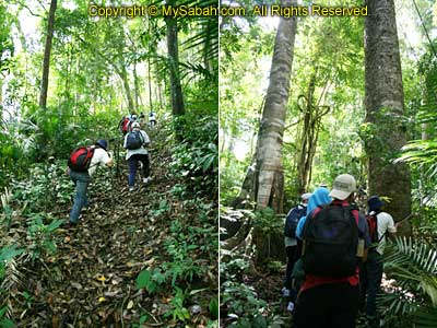
All climbers wake up and had oat meal / Maggi instant noodle as breakfast at 3:30am and headed to the summit at 4am. In the briefing, our tour guide, Maik, says today will be the most challenging day and he is right. As difficulty multiple, the so-called 4 KM distance to summit looks more like a longish 8 KM trek.

Climb to Summit
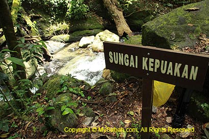
For safety reason, we target to reach the summit before 11am. All climbers must return to Musang camp at 11am, no matter how far they make. As there is no water point along the way, a few porters will carry some water and follow the climbers.
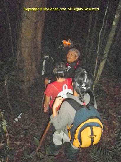

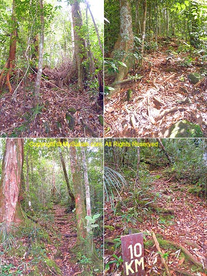
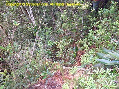
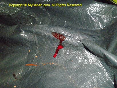
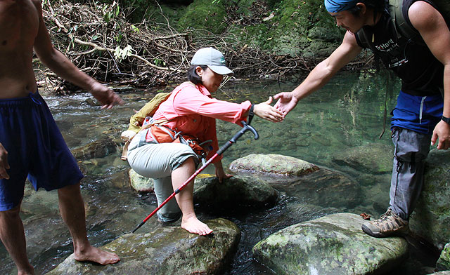
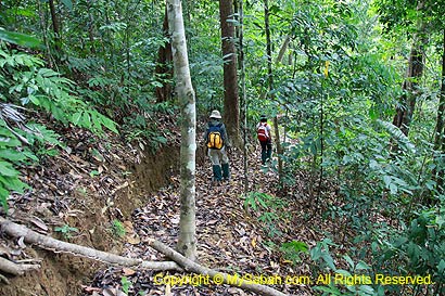
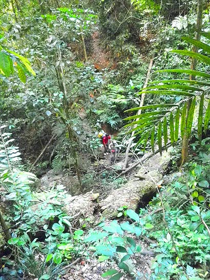
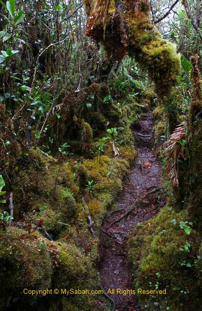
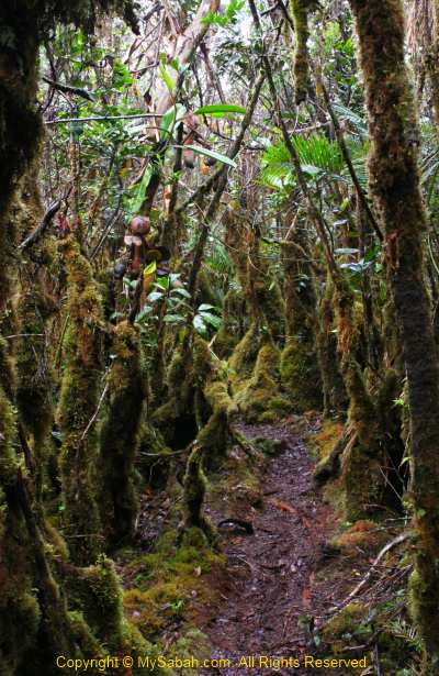
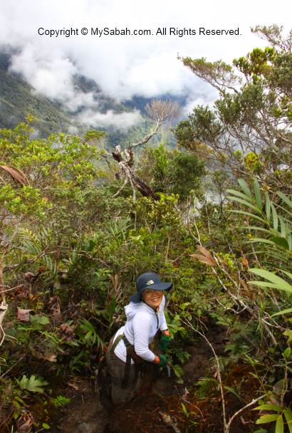
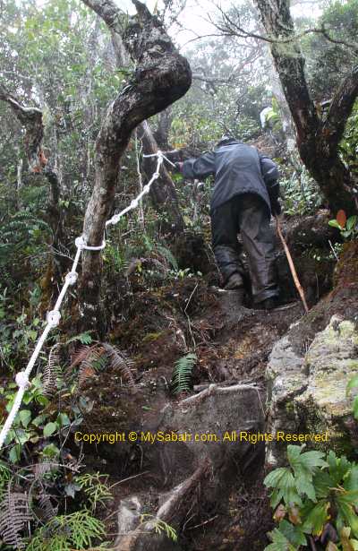
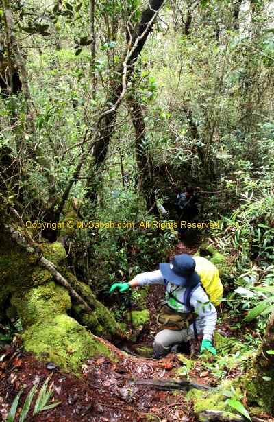
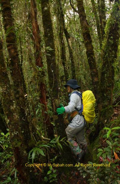
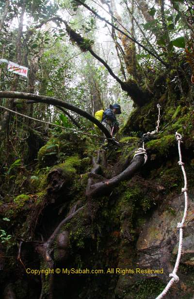
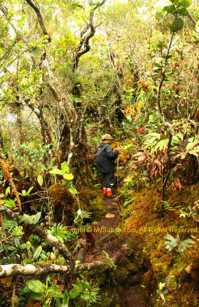
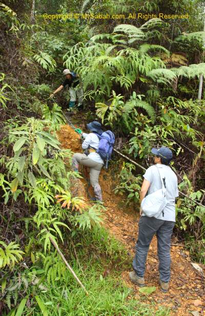
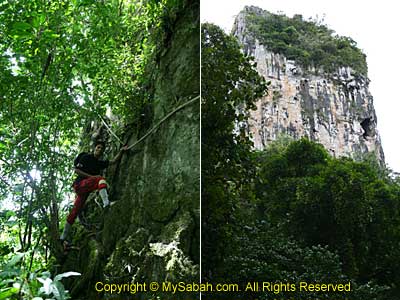
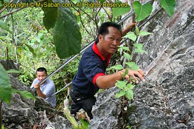
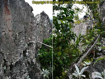
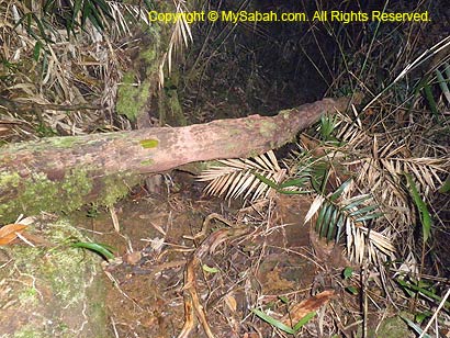
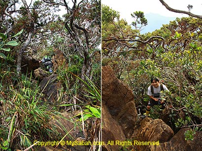
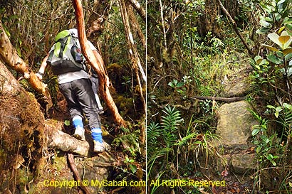
Under a mixed feeling of apprehensive and excitement, we climbed slowly and quietly in the dark. The first 1.5 KM is steep and narrow ascending trail and many parts need to climb over by hands. Besides, the overhanging tree trunks always blocked our way that we have to move over or under them. My head bang on a tree and bleed when I struggle to move up in the dark.
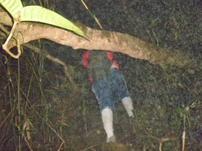
Above: Mind your head and feet!
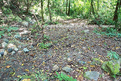
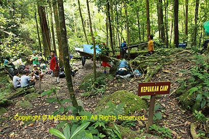
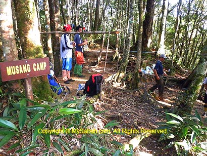
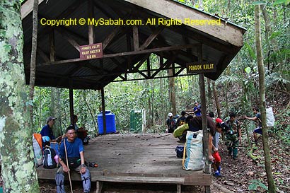
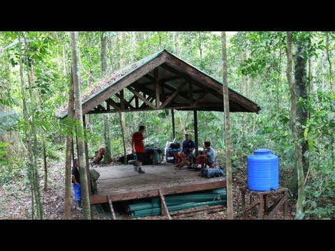
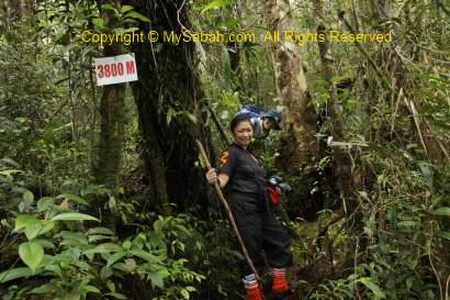
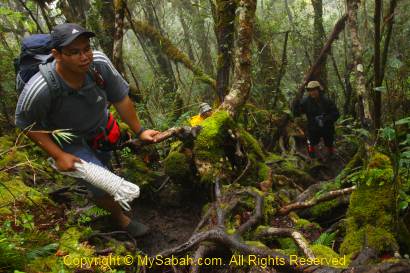
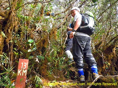
After KM12, we were awarded by a few hundred Meters of relatively flat trail to the Jeneral Camp (named after General Poon, who led a team of Royal Malaysian army on this route years ago) at KM12.6.
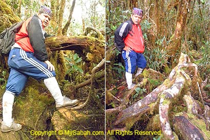
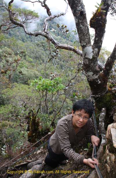
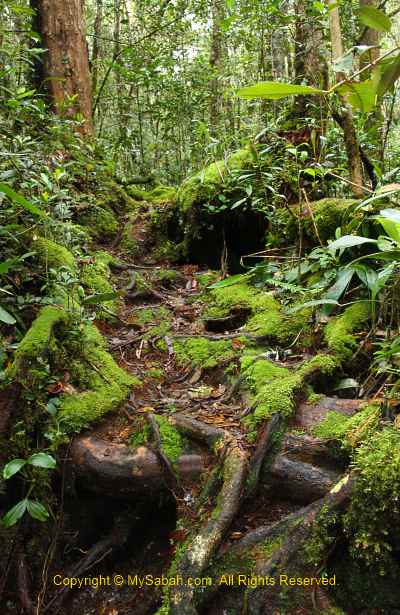
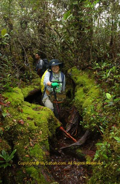
Above: climbing over network of slippery entangled roots

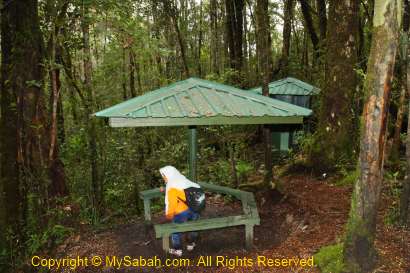
Jeneral Camp is a small open area which can setup 3 small camps. I checked my watch and it was 6:40am, but the summit is still a long way ahead.
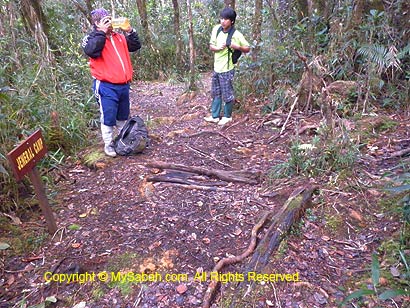
Above: Jeneral Camp (KM12.6). Still a long way ahead…
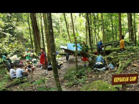
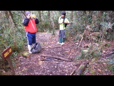
You can watch 10-sec video below to see the Jeneral Camp:
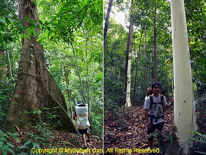
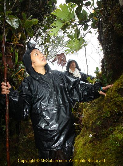
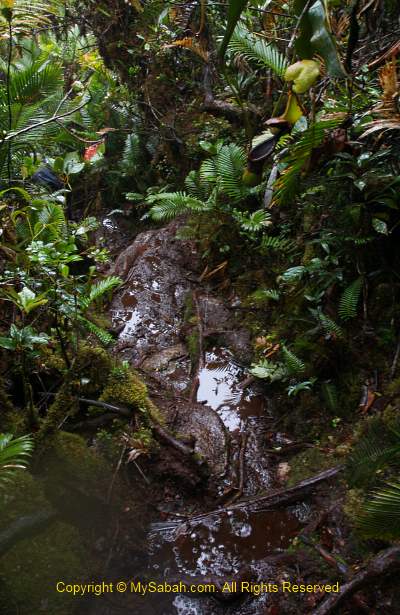
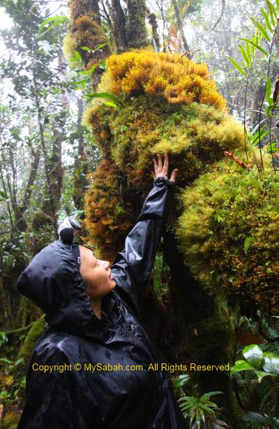
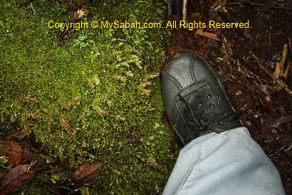
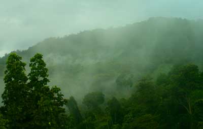
Though it didn’t rain, after the morning shower by mist, the cloud forest was wet all over the place, and I can even feel the moist filling my nose. Most of the time, I had to hold the trees and roots to move up, actually I like it coz climbing by hands saves a lot of leg work.
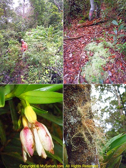
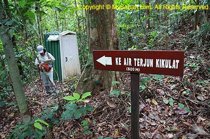
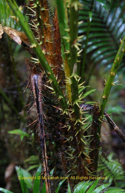
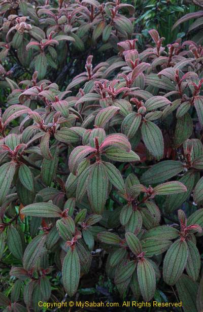
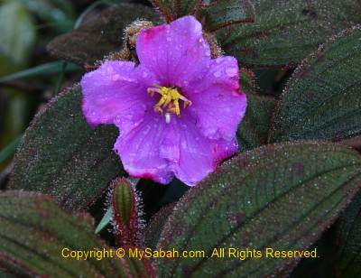
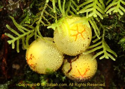
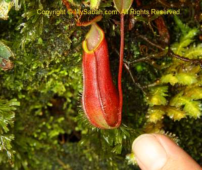
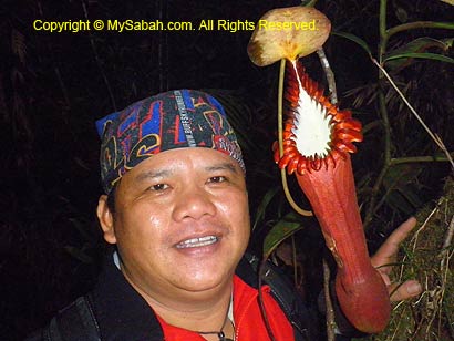
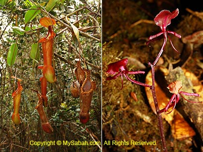
Nepenthes Garden (KM11.5 – KM14)
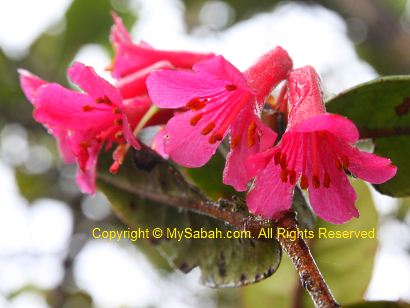
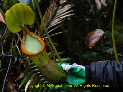
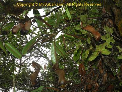
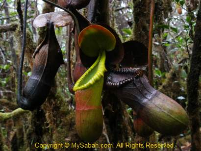
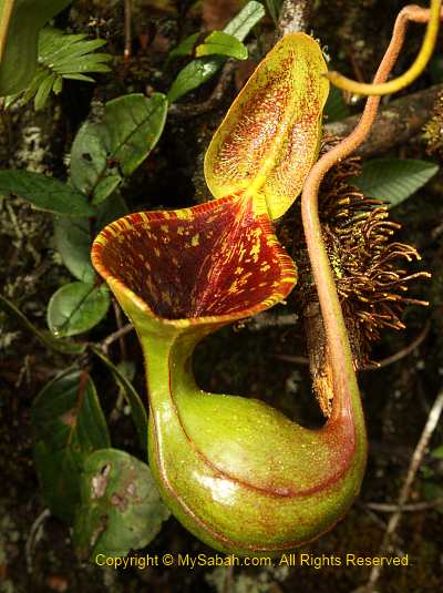
When the day turns brighter, I can see clumps of pitcher plant along the trail after KM11.5. The most spectacular Nepenthes edwardsiana is hard to be missed due to their bright color and huge size (20 to 40 CM, and known to reach 50CM). Nepenthes edwardsiana is characterized by highly developed ribs and teeth peristome. They are most abundant between KM11.5 and KM13, where a few small colonies of Nepenthes villosa and lowii are also found in this mossy environment.
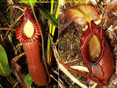
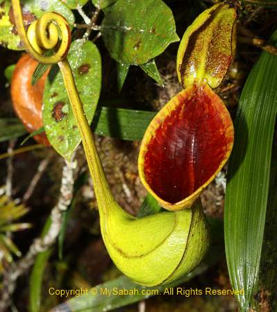
Above: Nepenthes edwardsiana (left) and rajah (right)
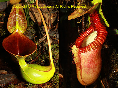
Above: Nepenthes lowii (left) and villosa (right)
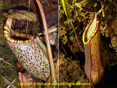
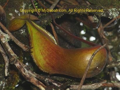
Above: Nepenthes burbidgeae (left) and tentaculata (right)
After KM13, colonies of Nepenthes rajah, the largest pitcher plant species in the world, takes over. Botanists also record the presence of N. burbidgeae, N. tentaculata, N. fusca, N. stenophylla and various hybrids such as N. xKinabaluensis (N. villosa x N. rajah), N. harryna (N. villosa x N. edwardsiana), N. tentaculata x N. burbidgeae and N. edwardsiana x N. burbidgeae in Mt. Tambuyukon.
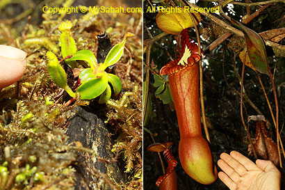
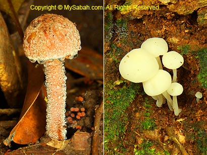
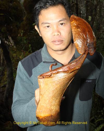
Above: pitcher plant from 1CM to 40CM

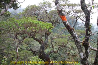
KM13
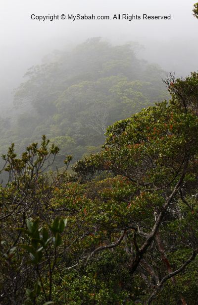
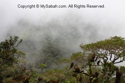
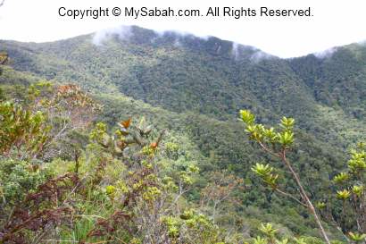
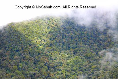
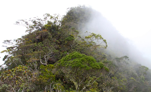
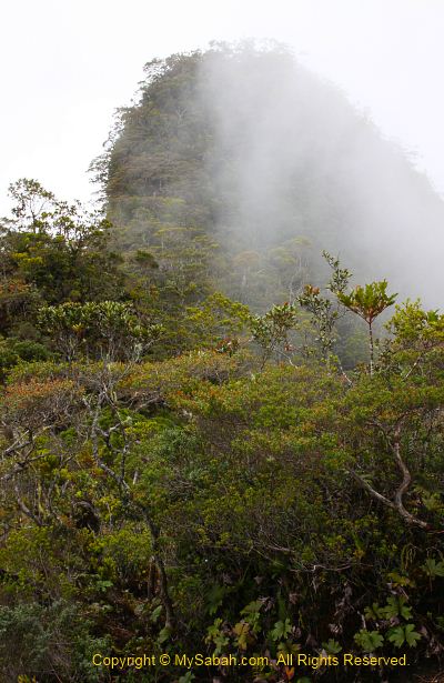
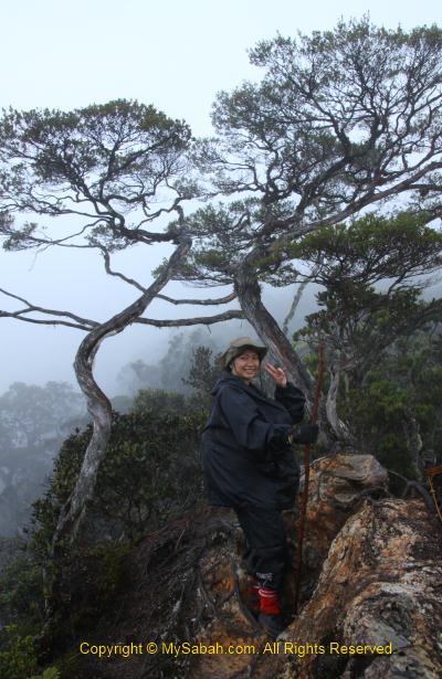
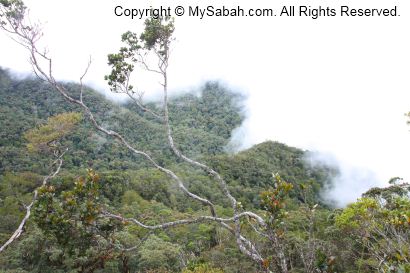
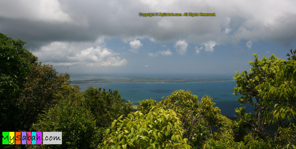
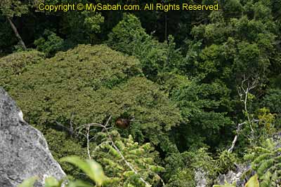
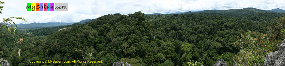
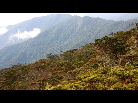
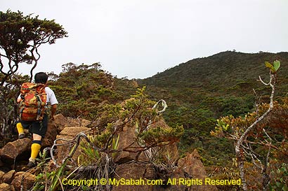
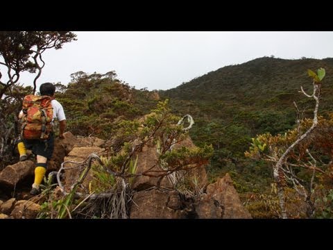
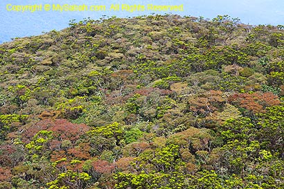
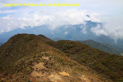
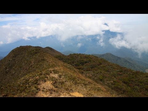
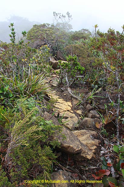
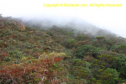
The summit trail is relatively less steep after KM13. Shortly the luxuriant mossy forest thin out and we came to a long rocky ridge with clearing to sky. If you turn around, you can have a panoramic view of neighboring ridges of Tambuyukon converging towards the summit. I feel like walking on the backbone of a gigantic dinosaur.
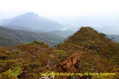
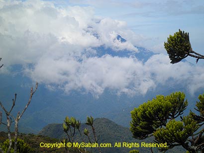
When the mist clears, I can see Nambuyukon (second highest peak of Tambuyukon Range) in Kota Marudu. I have to put on my jacket when it gets cold and windy in open area.
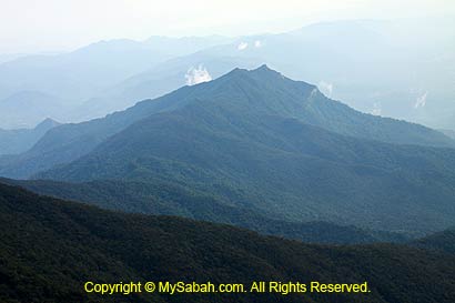
Above: Nambuyukon Peak, 2nd highest peak of Tambuyukon Range
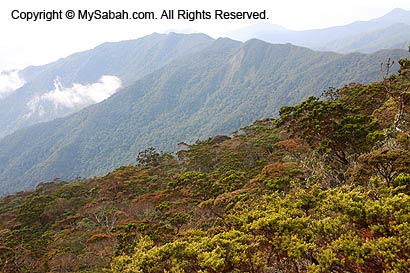
An author (Clarke, Charles M.) has the best description of the mountain relief:
“The summit sits at the top of a number of very long ridges which drop away gradually over several Kilometers. The sides of these ridges plunge steeply down into deep and similarly long gullies. These gullies funnel strong winds up towards the summit. The winds rush over the summit at tremendous speeds, the result being that the vegetation can only grow up to 1 Meter high in places. The upper parts after 2,100M of mountain are covered with low, scrubby vegetation, punctuated by large ultramafic boulders.”
You can watch 1-min video below for panoramic view of Tambuyukon Range:
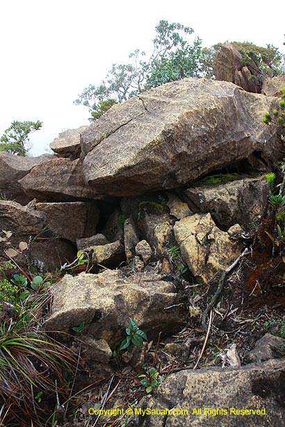
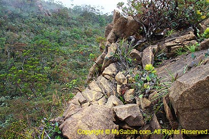
Ultramafic Boulders
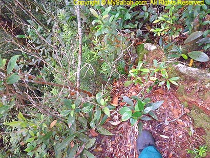
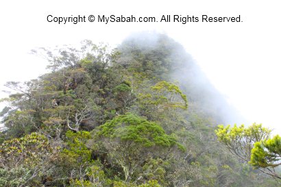
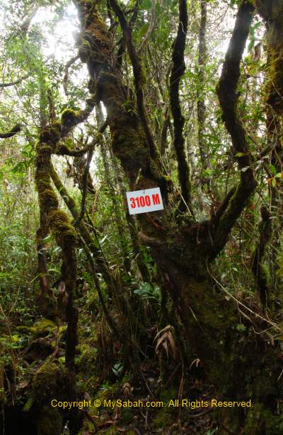
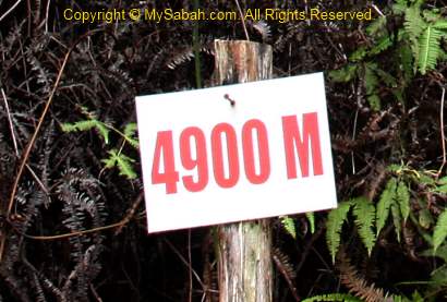
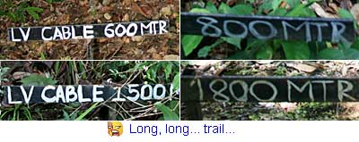
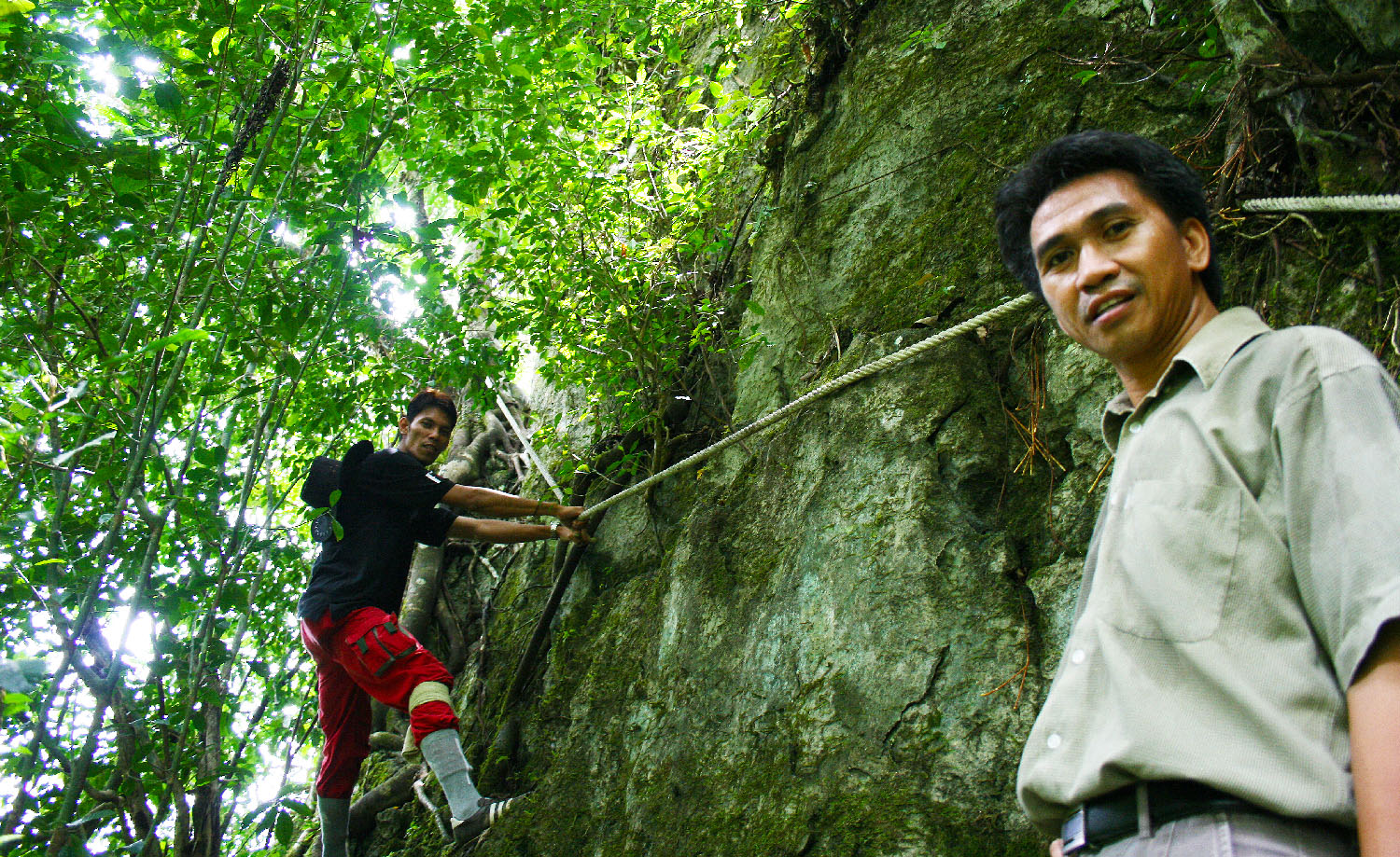
We moved carefully along the rocky ridge and conquer a series of hillocks. At this point, we know the true meaning of Tambuyukon, which always cheats us with a number of “faked summits”. And DON’T believe those milestones as they lie too. My experience and gut feeling tell me that the distance between KM13 and KM14 is not 1KM, but 3KM!!!
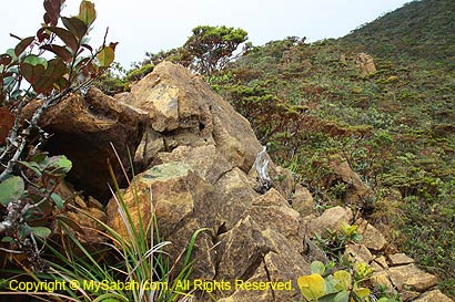
The huge yellowish-grey boulders near the summit are ultramafic rocks. Ultramafic rock derived from the Earth’s mantle, the layer of the Earth below the crust and above the core, formed billions years ago from melted rock when the Earth first solidified. Such rock consists of heavy minerals (Magnesium, Iron, Nikel) and its soil is poor in nutrients, which promotes the growth of endemic and highly specialized plants adapted to this environment. Ultramafic rock was pushed to Earth’s surface mostly during tectonic movement and Mt. Tambuyukon has the highest concentration of ultramafic rocks in Sabah. Sound cool but watch out for snake under the rock.

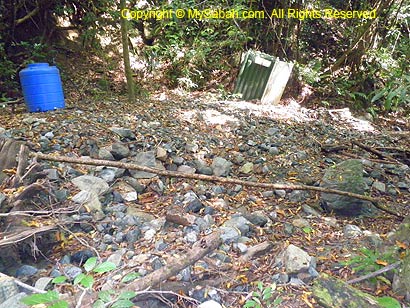
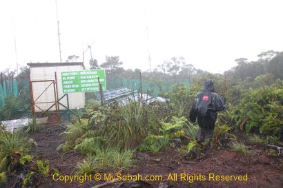
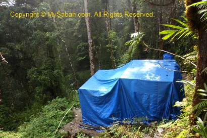
After 9am, we reached the last and smallest camp, Rajah Camp (KM13.6), which can hold only one camping tent. More N. rajah is seen around this area.
Above: Rajah Camp (KM13.6)
The last 400 Meters to the summit is a narrow and rocky passage under the leptospermum recurvatum dwarf trees and dense with underbrush.
Above: see the summit at the right?
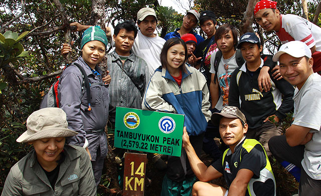
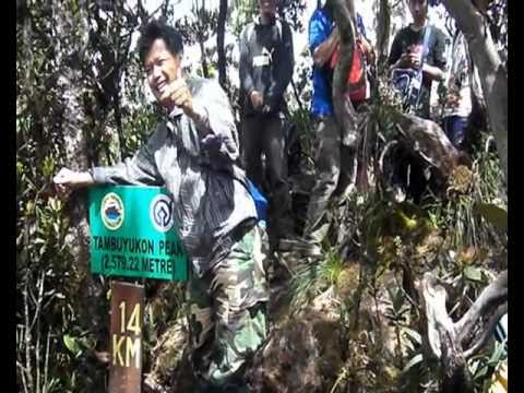
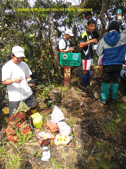
The Summit (KM14)
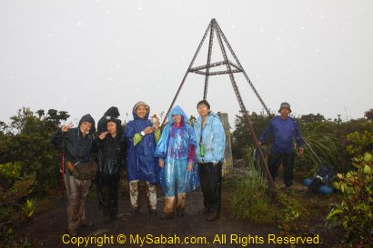
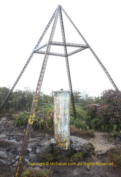
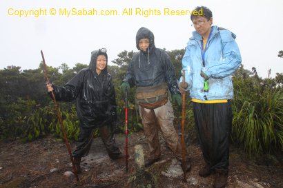
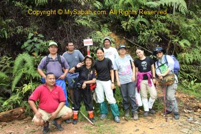
Finally, all of us reached the summit at 10:10am. The summit has no beacon or survey landmark, but only a signage that shows the trail distance and height of Mt. Tambuyukon.
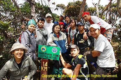
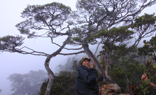
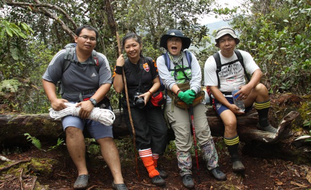
Above: group photo on the summit. WE MADE IT!!!
The summit area is no wider than 20M across and densely surrounded by leptospermum trees. Frankly, it is not an impressive peak, but we are still happy about the victorious moment. We had an early lunch on the summit. The guides and porters have brought some rice with dried anchovy fishes, biscuit and 3-in-1 hot drink.
You can watch 5-min video below to see the climb from the start to the summit:
Behind the signage is a narrow trail that takes us to the side (very windy!) facing Mt. Kinabalu. Many say we can get the nearest and best view of Mt. Kinabalu from Mt. Tambuyukon. Too bad Mt. Kinabalu was covered by thick mist and refused to show her face.
Above: Mt. Kinabalu refused to show her face..
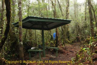
The temperature was about 20°C but the chilling strong wind makes us feel like 10°C. I notice there is a vast camping area that can house more than 5 tents behind the summit.
Above: camping ground behind the summit
You can watch 1-min video below to see the surrounding of the summit:
Return to Musang Camp
We need to be back to Musang Camp before 5pm, so we must leave the summit by 11am. By coincidence, today (24/6) is the birthday of Joimis, so all of us gave him a surprise by singing a birthday song to him on the summit. This might be the first time ever a birthday song echoes on the peak of Mt. Tambuyukon.
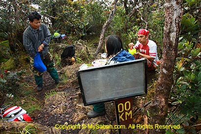
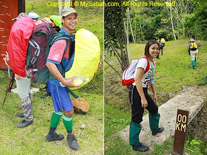
Above: The end is also the beginning. Now we are 0KM on the way back to the starting point.
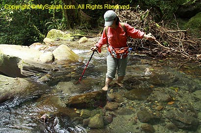
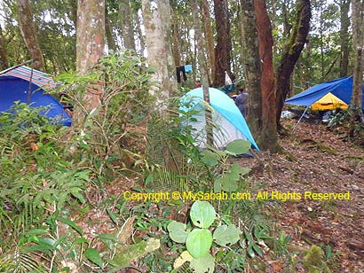
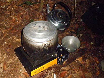
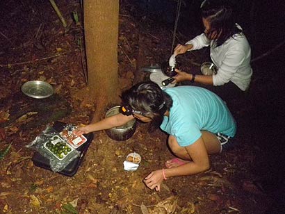
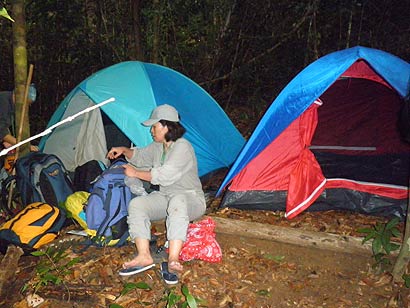
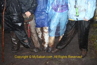
The descending route is not easier than ascending. On the way down, I spotted a few N. tentaculata and N. burbidgeae. We arrived Musang Campsite around 4:30pm. The climb is considered over. Everyone was in relaxing mood and shared their joyful stories. We also prepared a birthday fruit cake for Joimis to celebrate his birthday.
Above: you do not want to fall from here….
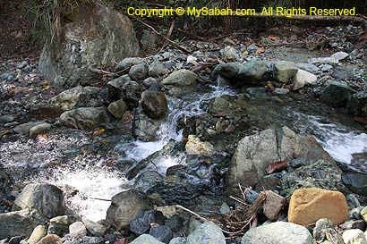
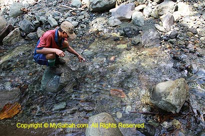
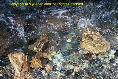
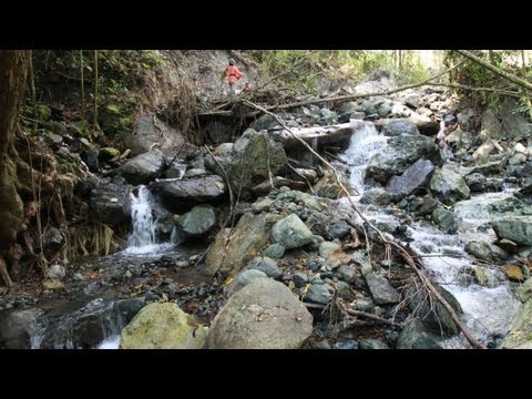
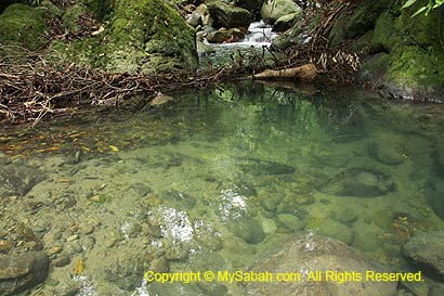
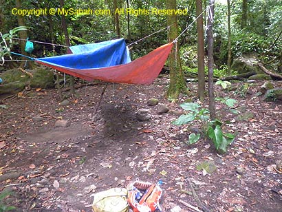
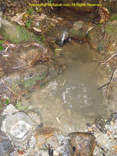
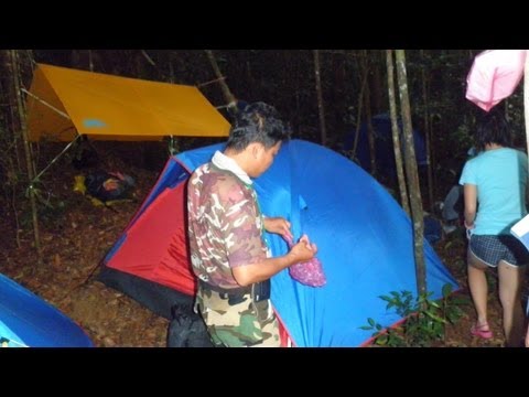
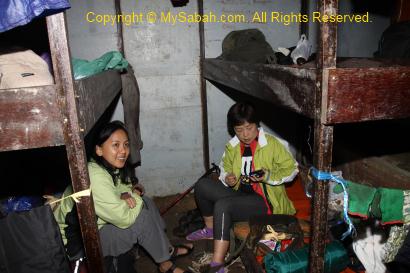
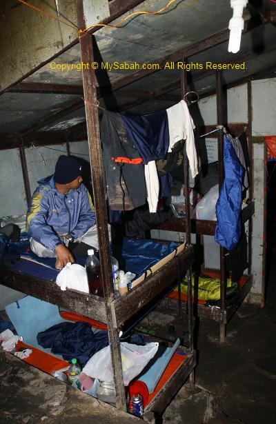
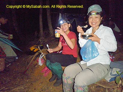
Though extremely tired coming back from the summit, I took a shower at the small stream nearby. A leech bites me. Anyway, I feel fresh and clean after the cold shower. Because of humid environment, our cloth is always damp and “sticky”, making us uncomfortable. Tonight is still a warm night, but free of stress.
Click Here to read Next article…
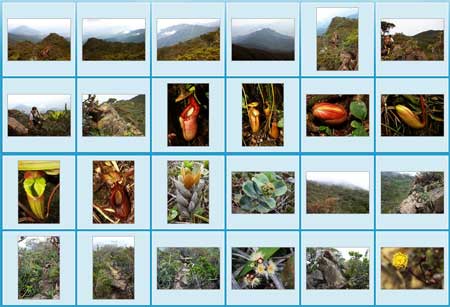
More Photos
You may check out the photo album of Mt. Tambuyukon trip for more nice pictures:

All Articles:
- Part 1: Day 1. From Starting Point to KM5
- Part 2: Day 2. From KM5 to Musang Camp (KM10.8)
- Part 3: Day 3. To the Summit! (this article)
- Part 4: Day 4 & 5. Going Home
- Part 5: Planning & Preparation
Related Posts:
- Mt. Kinabalu (highest mountain in Malaysia)
- Mt. Trus Madi (second highest in Malaysia)
Photos taken in Ranau, Sabah, Malaysia Borneo