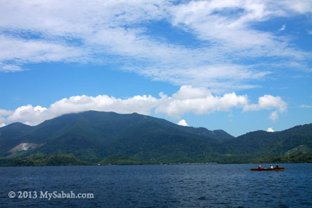
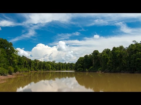
I bet you love the beautiful seas and rivers of Sabah. The flowing water invites you for a playtime. But when I say “lake”, you would feel different emotions, like calm, laid-back and peaceful. These are exactly how I describe the beauty of Tanjung Bulat, one of the largest oxbow lakes in Sabah. An oxbow lake was used to be part of a big river in U-shaped. As river changes course, a body of water is cut off naturally from the main river and forms a lake.
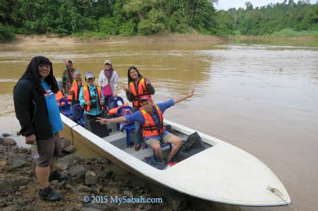
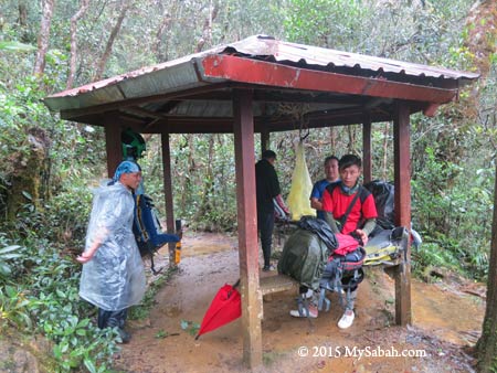
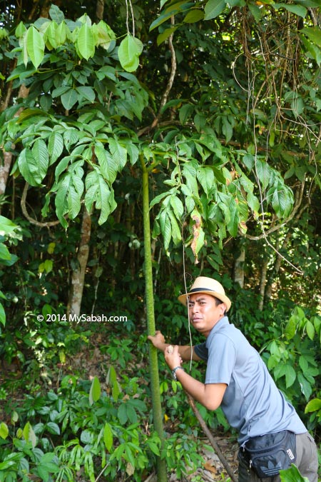
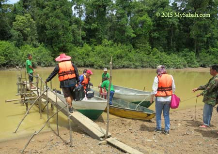
Pic: ready to depart

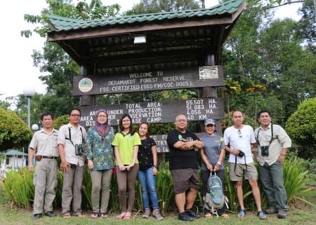
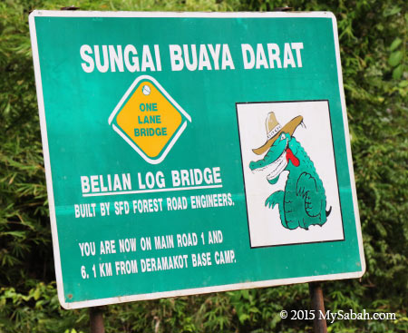
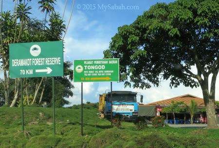
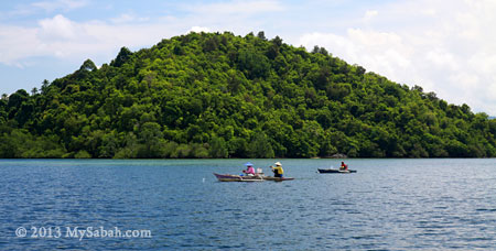
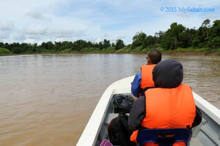
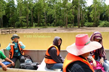
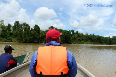
To go to Tanjung Bulat Oxbow Lake (see Location Map), you can take a 25-minute boat ride from Bukit Garam, which is a riverside village 75 Km from Sandakan City and accessible by road. For my tour, I took the boat from Balat Jetty of Deramakot Forest and the ride took about 2 hours.
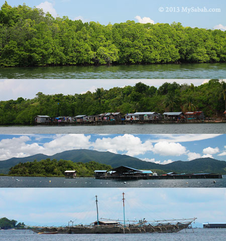
Bukit Garam Village
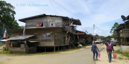
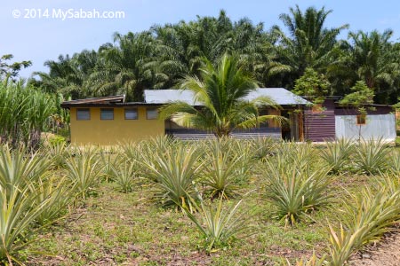
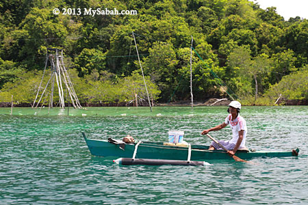
Bukit Garam (literally means Salt Hill) is a small village at upstream of Kinabatangan River. We stopped there shortly to buy some stuffs before going to Tanjung Bulat. I saw power line but electricity wasn’t fully utilized. Almost every house has satellite TV, but every grocery stores have no light on, except refrigerators that keep the soda drink cold.

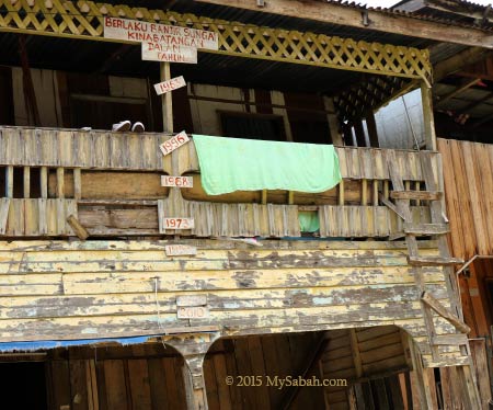
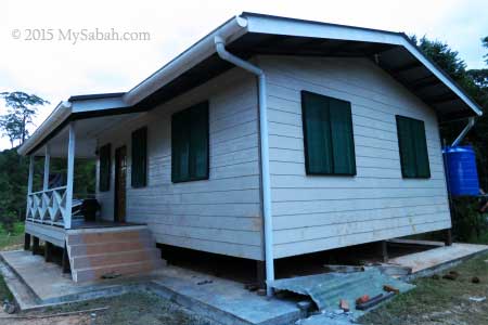
Pic: the most interesting house in Bukit Garam

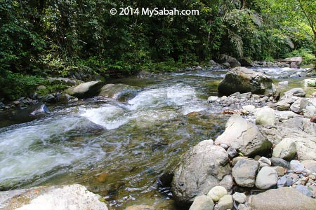
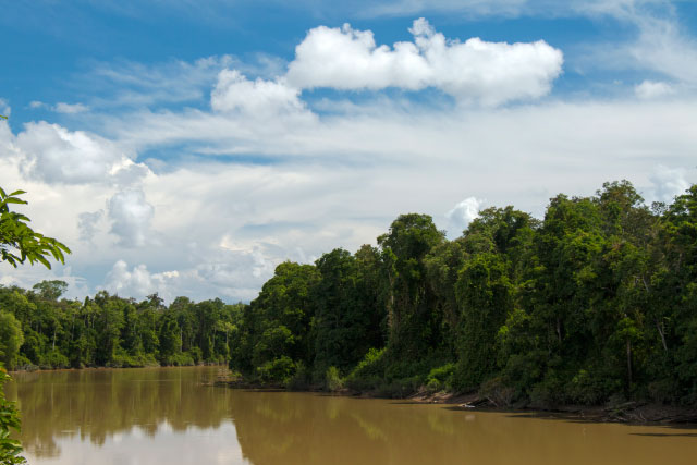
Bukit Garam is just next to Kinabatangan River (Sungai Kinabatangan), the longest river of Sabah, and it was flooded occasionally during heavy rain season. I even saw a house with water level markers of all major floods happened between 1963 and 2010.
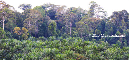
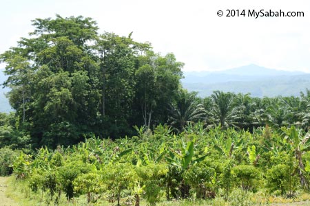
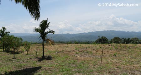
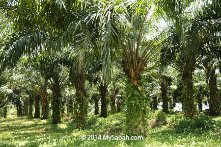
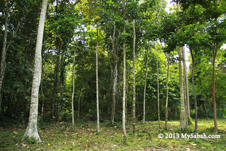
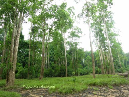
Most of the land around Bukit Garam is clear for plantation, so very little forest cover is left. I noticed some tree replanting going on in a few sections of riparian to restore the forest along the river.

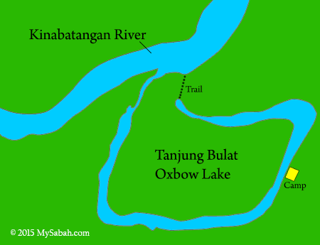
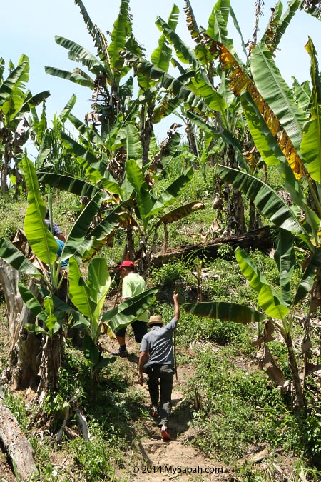
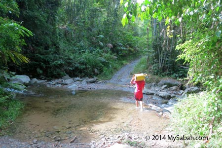
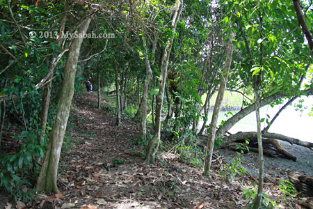
You can see from the diagram above that Tanjung Bulat Oxbow Lake has a small tributary that connects to Kinabatangan River. If the water level is high, our boat can send us straight to the camp. However, it’s dry season so we had to get off our boat, walked 450 Meters to the oxbow lake, then take another boat to the camp.

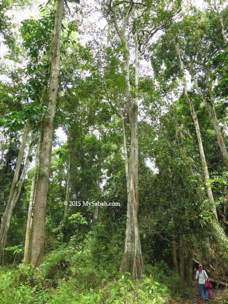
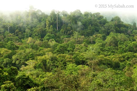
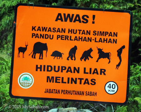
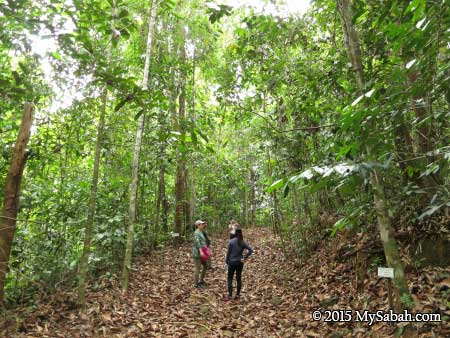
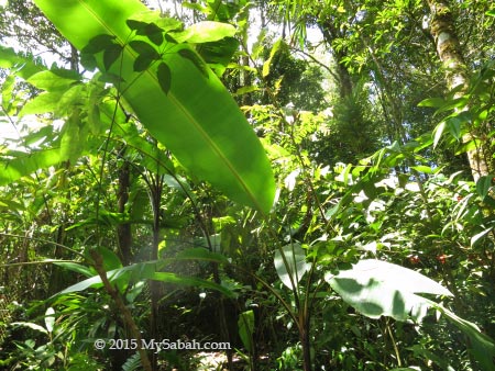
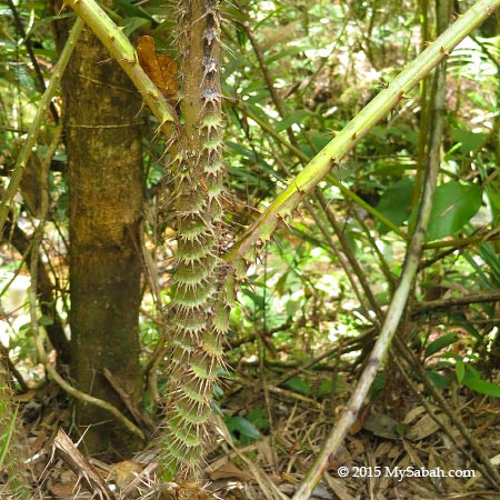
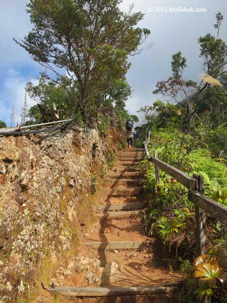
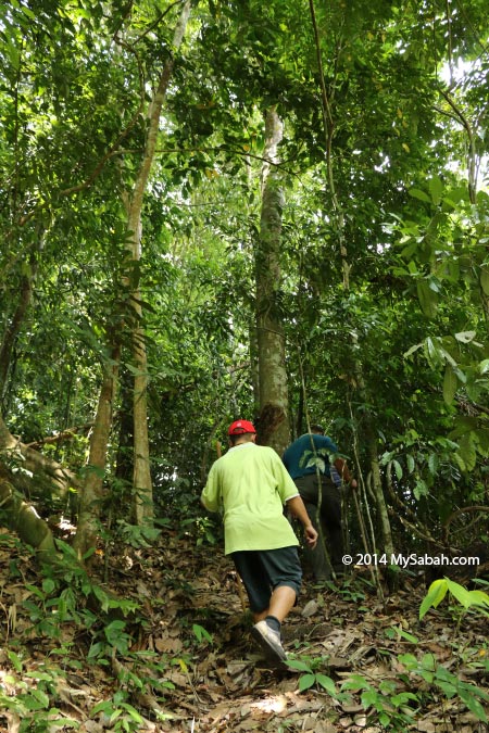
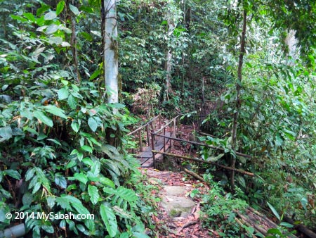
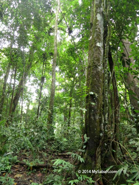
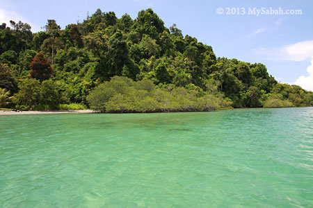
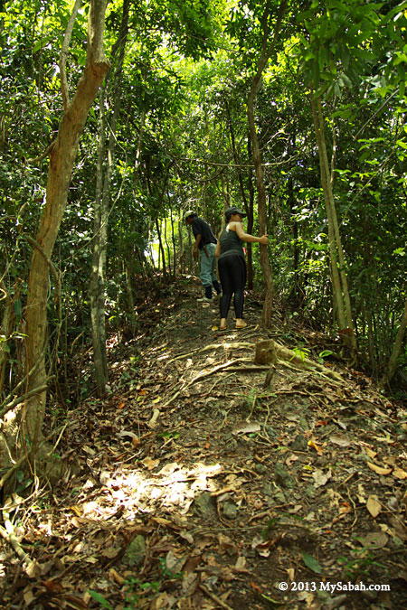
The walk takes about 20 minutes on a soil trail. Luckily the staffs of Tanjung Bulat Jungle Camp helped us to carry our heavy luggage. The trees near the lake is so dense and tall. It’s part of a forest reserve where logging, hunting and farming are off limit.

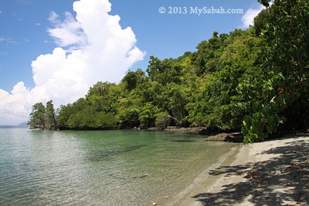
Tanjung Bulat Oxbow Lake
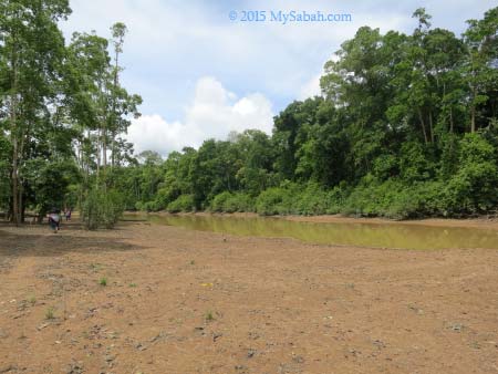
It’s an easy walk and we came to an open area at the edge of Tanjung Bulat oxbow lake. This is the second Oxbow Lake I visit after Uncle Tan Camp in Danau Girang but the first time I was being so close to the lake. During rainy season, the Kinabatangan River will flood this lake and brings in fresh water.

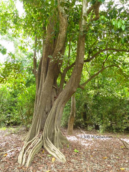
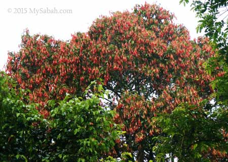
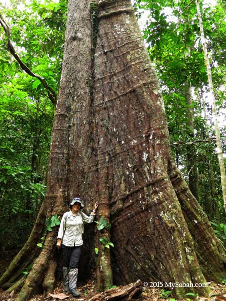
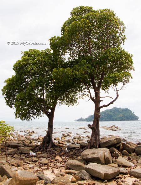
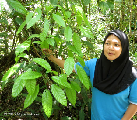
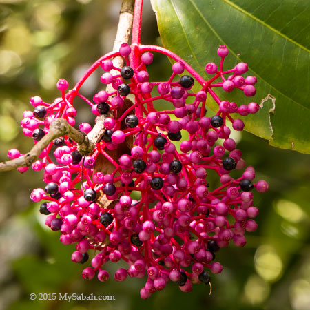
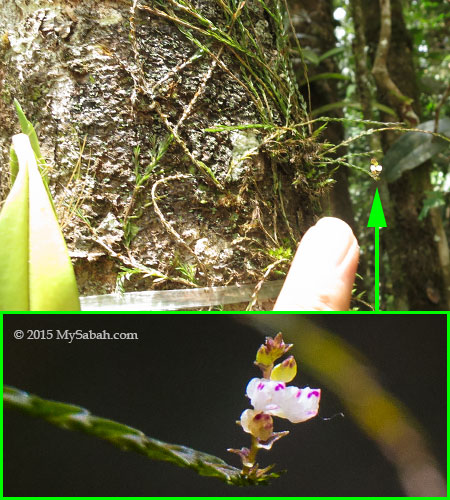
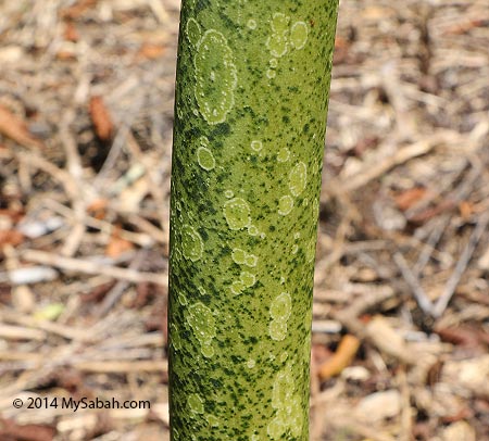
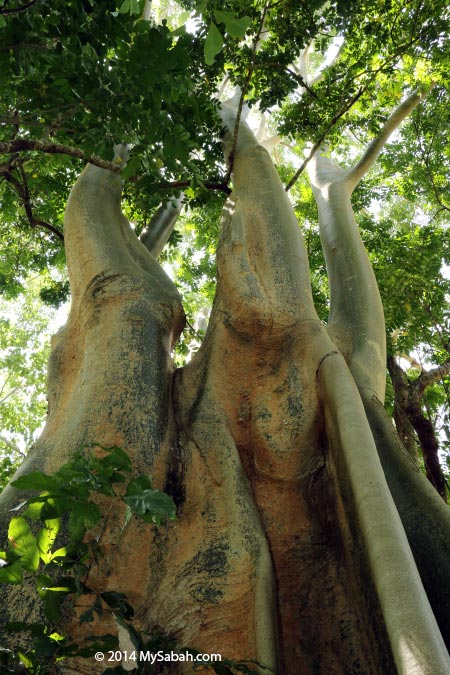
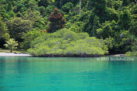
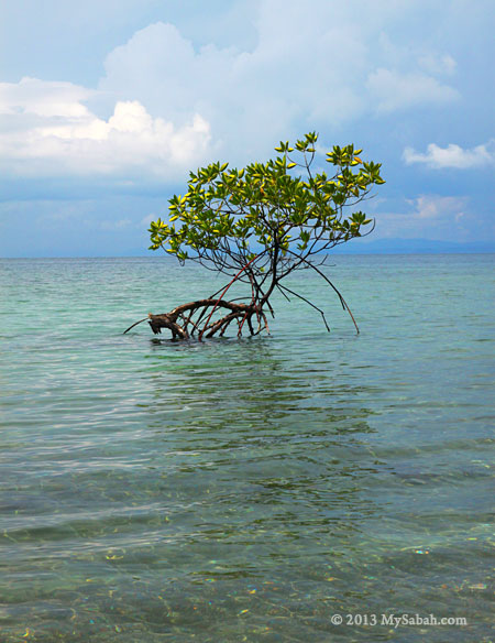
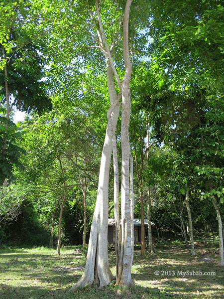
Pic: silungapid tree next to the lake
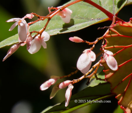
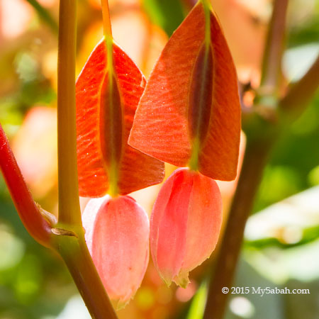
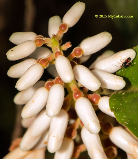
I admire the beautiful tree trunk of silungapid tree, which is abundant around the lake. This tree can survive the flood in wetland and its fruit is an important food source for proboscis monkey, the endemic monkey of Borneo.
Pic: transit to another boat to jungle camp

When I was still busy enjoying the scenery, everyone was already waiting for me onboard.
For those of you who spent your childhood in outdoor, you would understand why lake holds such a special place in my memory. Every kids that time had a “secret” corner where they loved to hang around in group, and lake is the coolest place because we could swim and fish in it. Unfortunately, today most of my old-day nature playground has been cleared to make way for estate and agriculture.
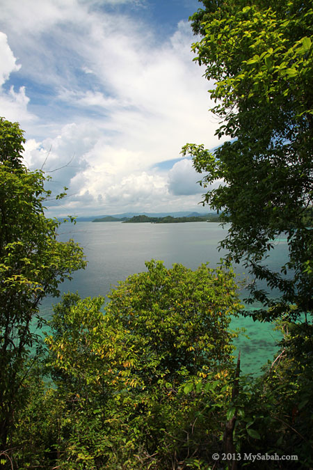
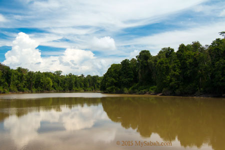
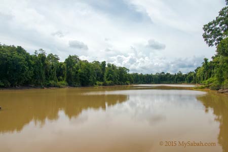
That’s why I was so excited to see that Tanjung Bulat Oxbow Lake is kept in near pristine condition. It’s like a hidden lake in a dense jungle and it’s huge. The lake surface is about 95 hectares, with depth up to 30 Meters.
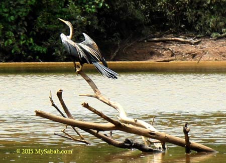
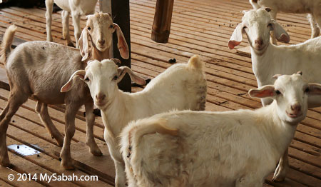
We saw 4 or 5 Oriental Darters (Anhinga melanogaster) on the way to jungle camp. Also known as Snake Bird, Oriental Darter spears fishes with its long and sharp beak. It’s a threatened bird species, but you can find a good number of them at Tanjung Bulat. Great egret is also common here.

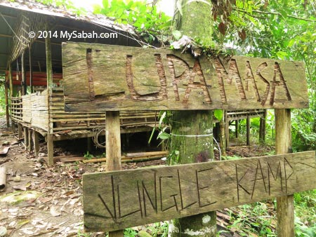
Tanjung Bulat Jungle Camp
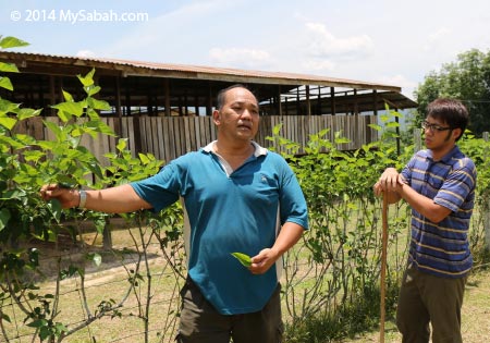
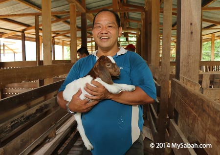
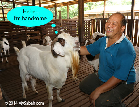
Here is a brief but inspiring story about the camp. Tanjung Bulat Oxbow Lake is well-preserved as a marvelous destination because of one fisherman, Mr. Malik, who started the jungle camp in year 2010. Malik is born 40 years ago in a fisherman family of Orang Sungai community. He was used to swim (that time had no crocodile) and fish in this lake since he was six. During that time, fishes were plentiful and wild elephants were everywhere.
Pic: Tanjung Bulat Oxbox Lake
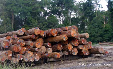
However, over the three decades, the well-being of the lake was gradually compromised when people used destructive fishing methods such as poisoning, and the forest was encroached for plantation. The situation became so severe that the lake got no fish for a year, so Malik decided to protect his beloved lake from further deterioration. We both share the similar childhood so I fully understand his sentiment.
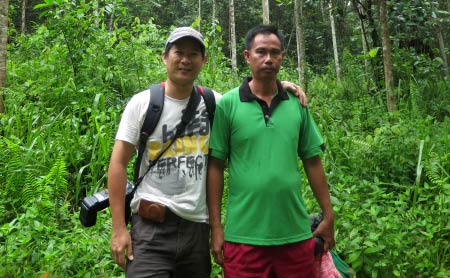
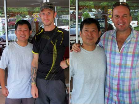
Pic: photo of me and Mr. Malik (right). He looks serious but he is a friendly guy who is passionate about his work.

The lake and its adjacent land is a 450-hectare area under multi-layer land title of State Government, oil palm company and villagers, so Malik had to work with the authorities and different parties to conserve the oxbow lake. Some villagers were so unhappy initially.
With the support of native chief, Tanjung Bulat was included as part of the 1 Village 1 Product Rural Campaign and helped the village won the national and international championship in Gerakan Desa Wawasan (Rural Vision Movement). And villagers saw the fishes coming back, so they turn from against to acceptance. Now the fish stock gets a 60% recovery.
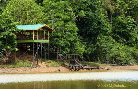
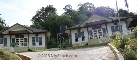
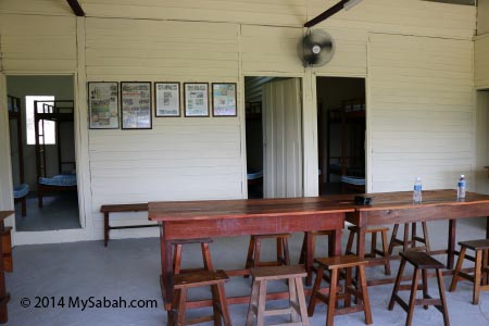
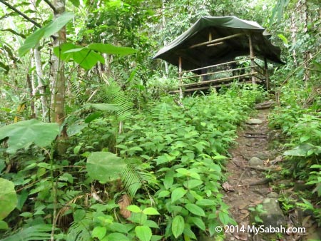
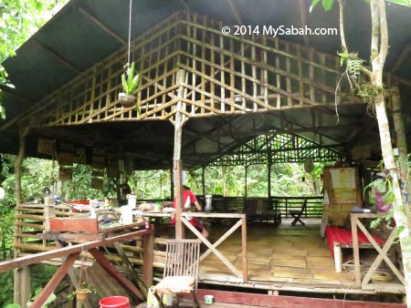
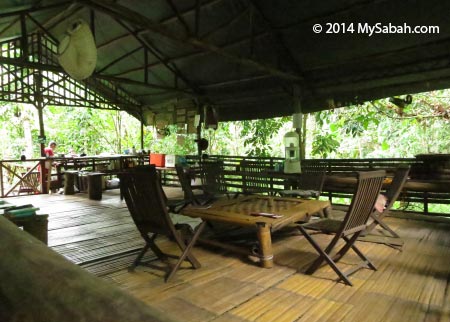
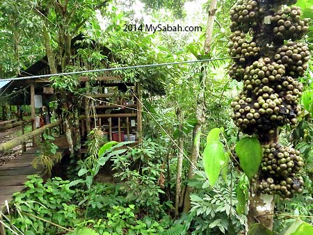
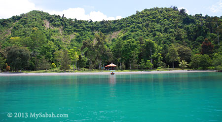
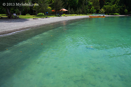
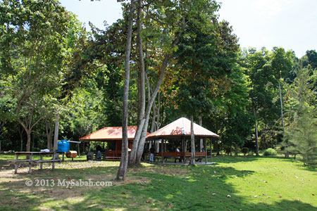
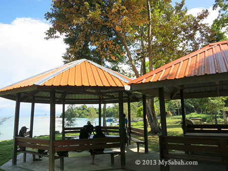
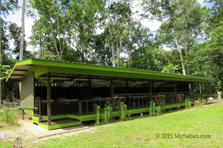
Back to our tour. Within 10 minutes, Tanjung Bulat Jungle Camp was in sight. The wooden building with stilts in the photo above is the dining and activity hall. The camp is built on high ground so it is safe from flood even during wettest season.


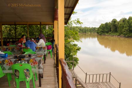
Located in high point, the camp overlooks Tanjung Bulat oxbow lake. Every visitor is automatically drawn to this hall for this panoramic killer view. I would say Tanjung Bulat has one of the most spectacular lake view in Sabah. Without other man-made structure at the lake, it’s a 100% wilderness.
You can see half of the lake from the camp. At the left of photo above is an isolated (almost) forest surrounded by the lake. It’s mainly marshland with dense wetland trees, which is a little paradise for birds, reptiles and arboreal animals.
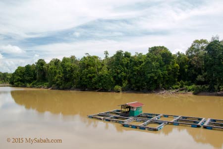
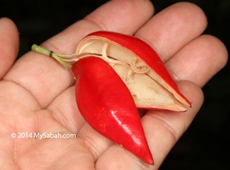
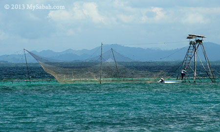
Pic: fish farm with black and red Tilapia (freshwater cichlid fish). Two Little Herons were fighting there for this prime fishing spot. The highly sought after seafood such as udang galah (giant river prawn) and Freshwater Gobi also found in this lake.
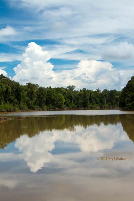
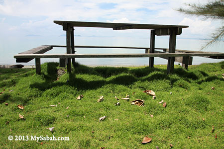
The weather was so good and we could see the reflection of cloud on the lake surface. I was completely immersed myself in this tranquil environment as if the clock had stopped ticking.

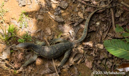
Pic: a 2-Meter monitor lizard that wanders near the camp. Monitor lizard always avoids human contact so it isn’t a threat (except infant).

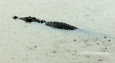
There is also a 3-Meter crocodile living in the lake. It is wary of the human presence and keep a distance from our camp. It always patrols in the water, and its movement is so slow that it looks more like a floating log. We like this croc so much that we name it “Dicky”.

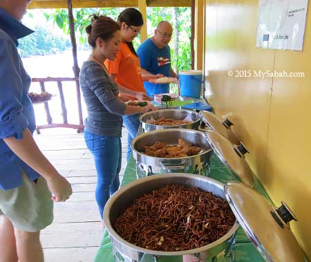
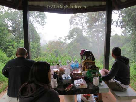
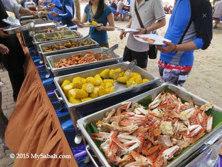
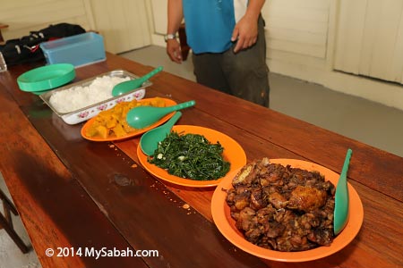
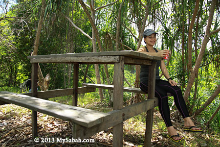
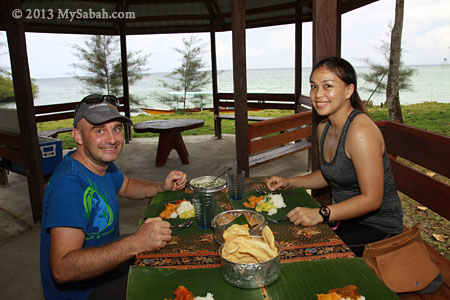
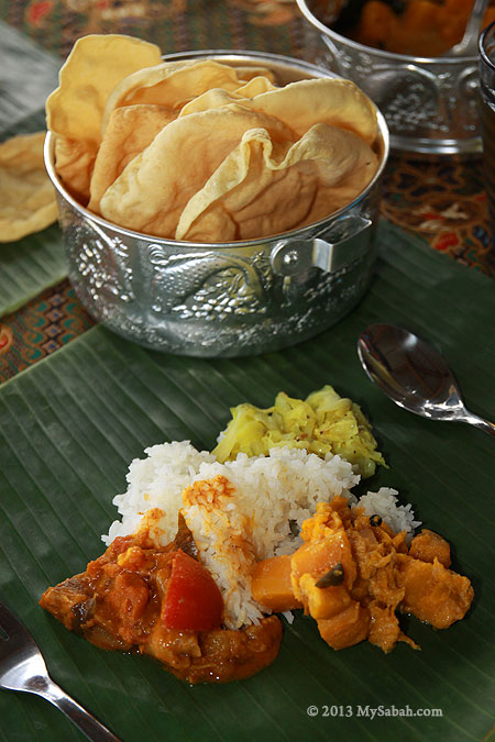
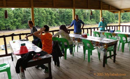
After we checked in, a tasty lunch buffet was already waiting for us, and it’s really nice to enjoy our meals next to a lake.

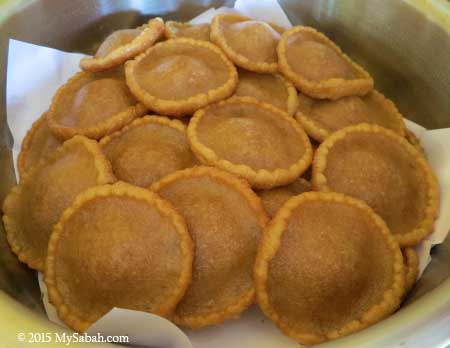
Pic: Panjaram Pancake, a famous local snack of Bajau people

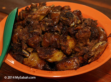
We had fried noodle, chicken wings, tomato fish, local vegetables (fern) and a deep-fried pancake called panjaram (a.k.a. UFO Pancake).
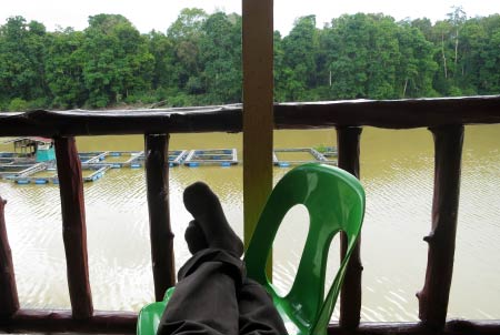
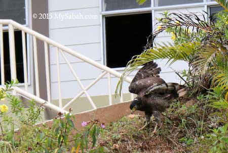
We were supposed to have a river cruise in late afternoon to check out the crocodiles, proboscis monkey and other wildlife around the lake, but it was raining dog and cat. So I just grabbed a coffee, enjoyed the nice breeze and view. It was so relaxing that I fell asleep. During dusk, I saw Rhinocerous and Oriental Pied Hornbills, Brahminy Kites and Blue-eared Kingfisher. I also heard screeching of proboscis monkey in the forest across the lake. Tip: bring a binocular for more excitement.

Accommodation and Amenities
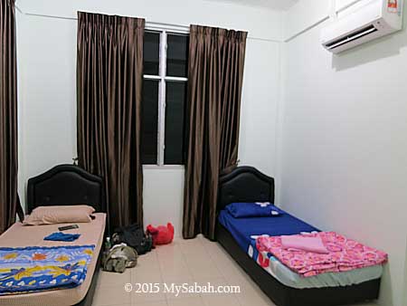
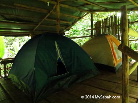
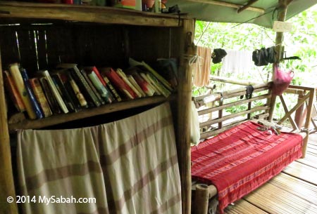
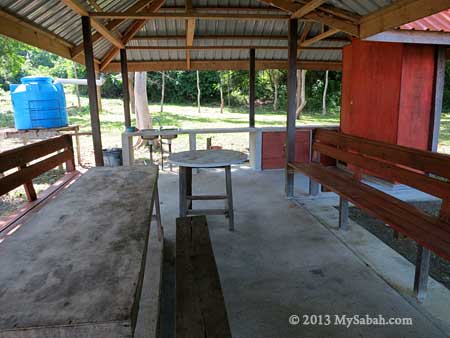
Though the accommodation of Tanjung Bulat Jungle Camp is basic, it is clean and comfortable. We got mobile phone network coverage. The signal is weak but we can call and text the outside world.
The camp can fit about 15 people at a time. Electricity by generator is available from 7am to 9pm. You can even ask them to on it until 11pm. But noisy generator is too near the camp so it’ll be off during bedtime.
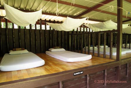
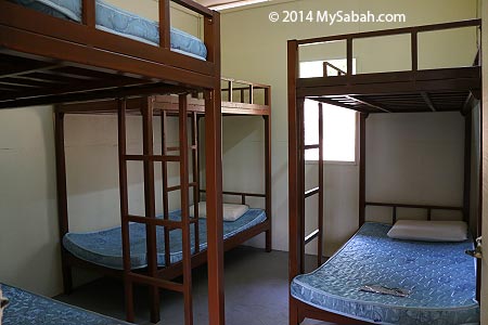
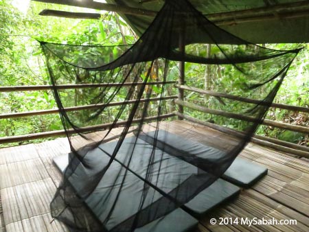
Pic: our bed with mosquito net. It was warm during daytime but cooling at night. We all had a good night sleep.
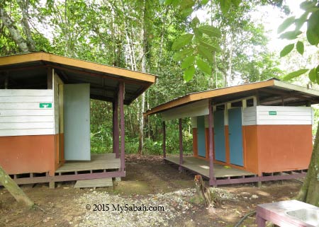
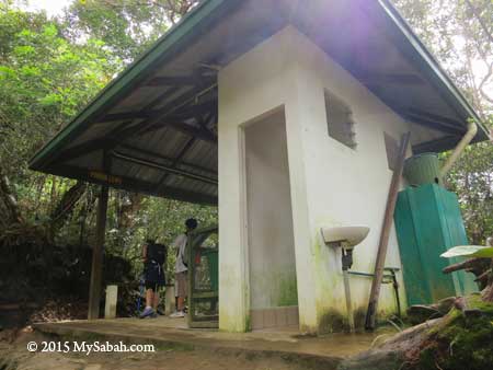
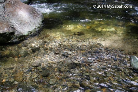
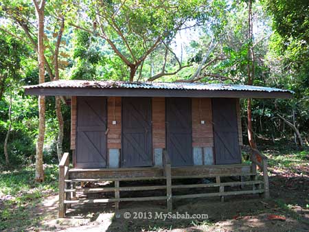
Toilet and bathroom are only 15 Meters away. The water from the lake is crystal clear. Malik told us that he used stones, sand and cotton to filter the water, a simple but effective technique he learnt from a Japanese engineer. The water of the lake looks murky, but it is almost as clean as the tap water, because it’s from the upstream of Kinabatangan River.

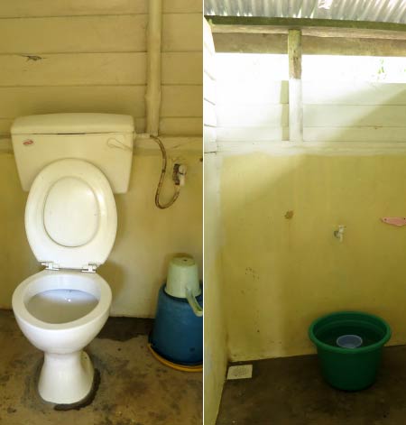
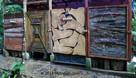
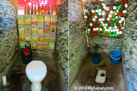
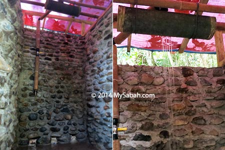
The toilet and bathroom are clean and basic too (no funny smell). Hot shower is not available but you will love the freshness of having a cold shower in hot day. As there is no lighting, you better bring a flashlight so you can find your way to toilet in the dark.

Tree Planting
Since the camp started 5 years ago, over 500 trees were planted to contribute to the Corridor of Life project. Basically it’s a long term conservation effort to restore the forest along the riparian of Kinabatangan River, to connect the fragmented forests, so the wildlife can use the forested river bank to move freely to other forest for food and mates.
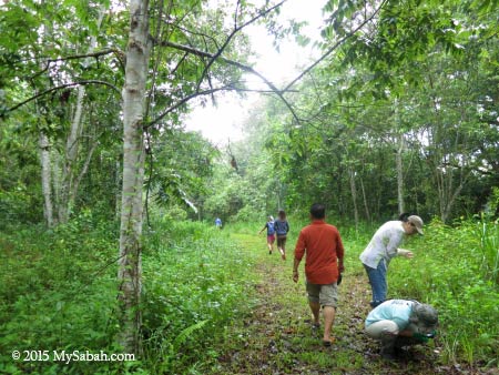
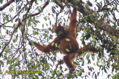
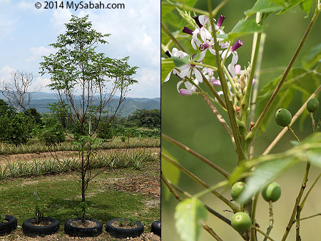
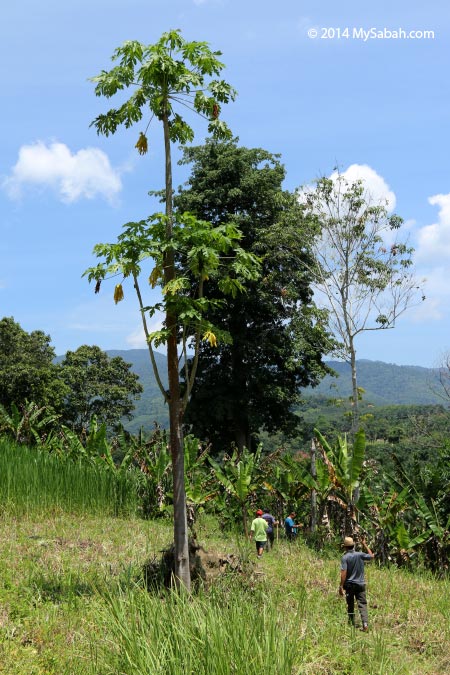
The next morning we were brought to the tree re-planting area just behind the camp, to plant some trees before we left. Many trees have grown tall over years and some have bear fruits. This dense wood also becomes home for some birds such as Hooded Pitta. During fruiting season (especially in August), orangutan would be sighted here.
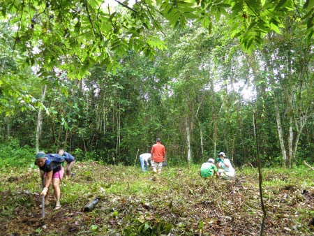
Actually the staffs had done the hard work for us. They cleared an area for the tree planting. All we needed to do is to dig two holes and planted two seedling. The common trees chosen for replanting are Pokok Bayur and Asam-Asam (wild mango), which provide nesting place and food for orangutan respectively.
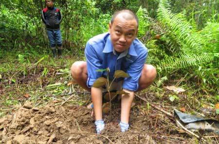
As a city folk who seldom uses hoe, it’s no easier than I think. The soil is held firm by many tree roots. Just digging two small holes already made me sweated in the morning. Anyway, I’m glad that I’ve left some green footprints, a perfect way to end my journey here.

“The best time to plant a tree was 20 years ago. The second best time is now.”
To visit Oxbow Lake Tanjung Bulat Jungle Camp (or Danau Tanjung Bulat Jungle Camp), you can book the tour with Aseh Travel & Tours, a licensed travel agent which practices Responsible Tourism.
Below is the contact of Tanjung Bulat Jungle Camp:
E-mail: tgbulat_junglecamp@yahoo.com
Hotline: +60 12-8656773
Website: kinabatangantbjc.blogspot.com
Photos taken in Kinabatangan, Sabah, Malaysia Borneo