As Tip of Borneo is one of the most visited attractions in Sabah, “Center of Sabah” could be the next popular destination. In theory, if you thread a string through the center of a cut-out cardboard map of Sabah, the cardboard should hang flat in the balance. However, the work to pinpoint the exact Center of Sabah is far more complicated and takes years to find out. Since 2006, Royal Institution of Surveyors Malaysia (RISM) had been collecting reading from 18,600 points along the Sabah coastline to calculate the Center.

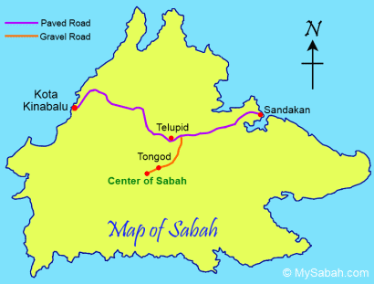
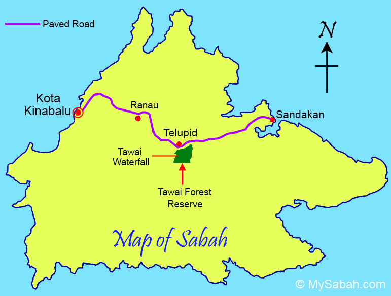
The coordinates of the geographical Centre of Sabah is determined at Latitude 117°7’01.8″ East and Longitude 5°+20’38.4″ North (N 5°20’38.4″ E 117°7’01.8″), which is on the top of RISM Hill (Bukit RISM) in the Pinangah Forest Reserve near Telupid (about 280 Kilometers away from Kota Kinabalu city).
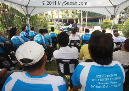
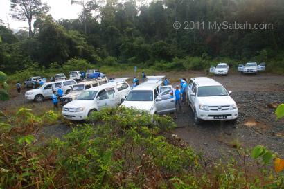
For the launching of the Center of Sabah, RISM organized an expedition team of 54 members, comprised of people from RISM, Sabah Surveying and Mapping Department, Sabah Land and Survey Department, Sabah Forestry Department, Sabah Tourism Board and media, to visit the Center of Sabah. The flag-off ceremony was carried out in Tun Fuad Stephens Park at 8:35am on 30 Sep 2011.

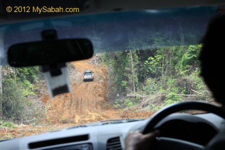
We departed in a convoy of more than 10 4-wheel drive. We stopped by Nabalu town briefly for breakfast.

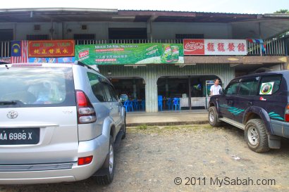
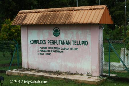
Our expedition team also had lunch at Telupid town around 2pm.
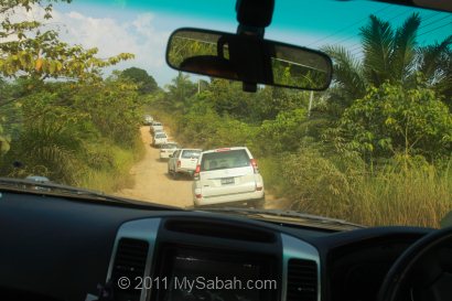
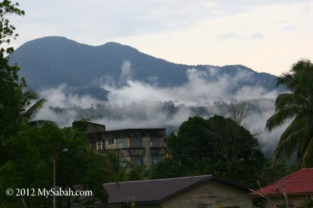
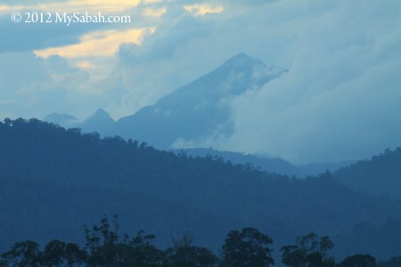
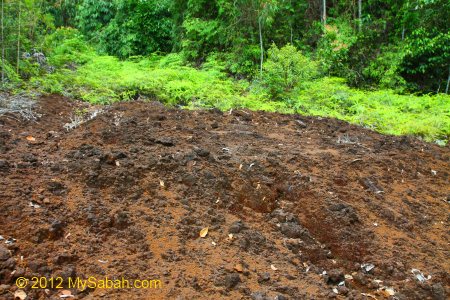
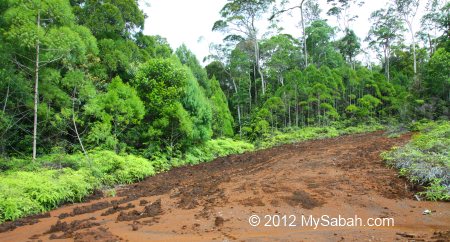
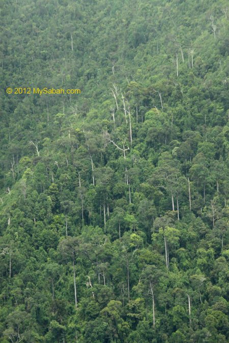
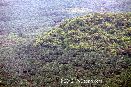
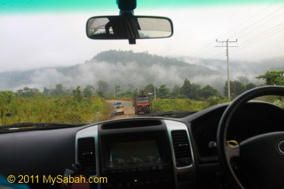
Then we entered a dusty, rocky and gravel road at a junction after Telupid at 2:45pm. The ride was bumpy and we saw oil palm plantation most of the time. We also saw a few logging trucks on the way.
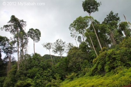
Above: passing by Tongod. It’s a remote area of Sabah.
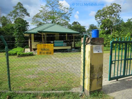
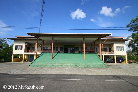
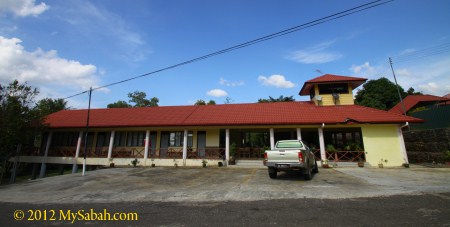
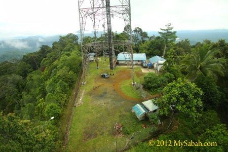
Millian Forestry Center
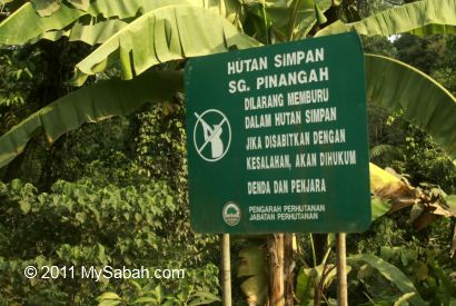
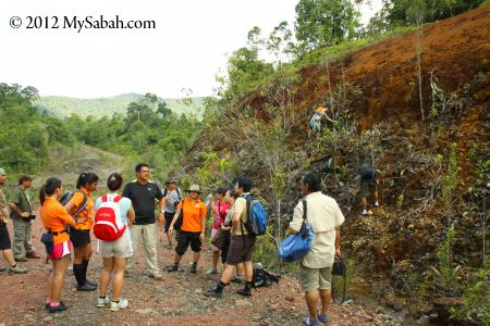
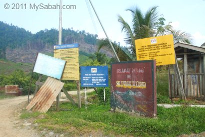
Above: reaching Pinangah Forest Reserve, where poaching is strictly prohibited.


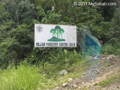

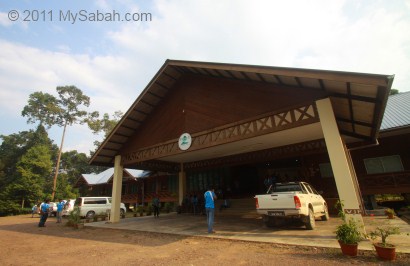
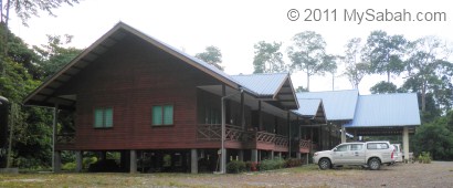
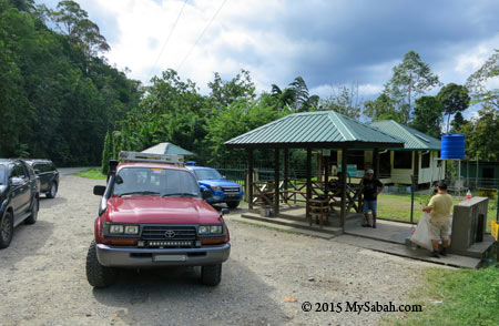
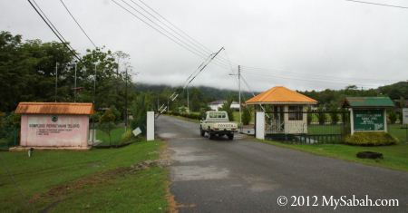
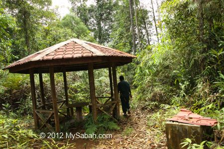
Our group reached Millian Forestry Centre around 4pm. We spent a night here, before departing to the Center of Sabah in next day.

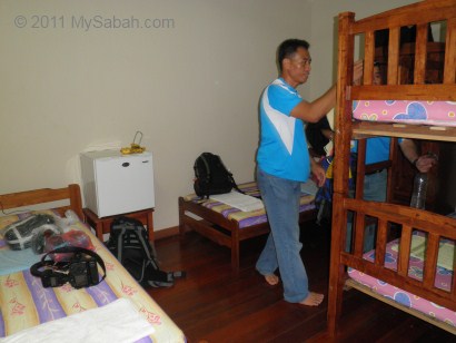
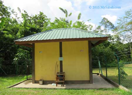
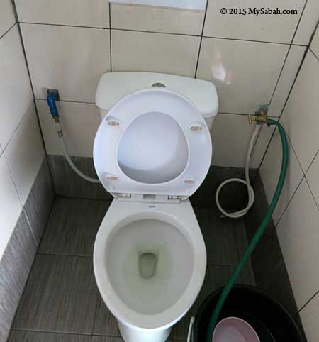
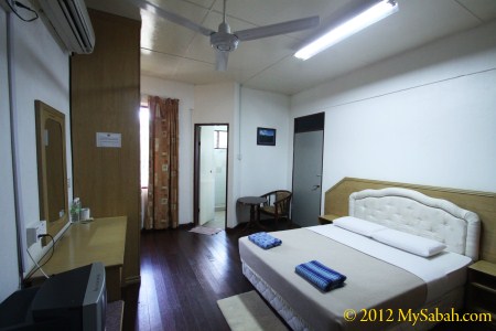
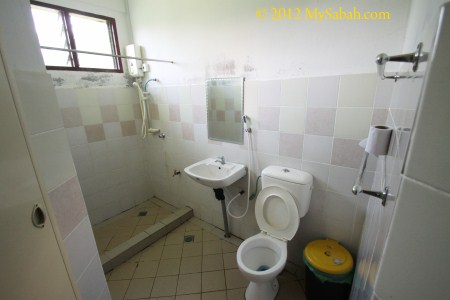
The accommodation of Millian Forestry Center is basic but quite comfortable. Electricity supply is available (though there was a blackout of 30 minutes). For a shared room like photo above (with air-conditioning and attached bathroom), it’s only RM40 (about USD12) per person per night. For VIP room, it’s RM60 (about USD19).

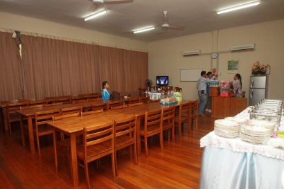
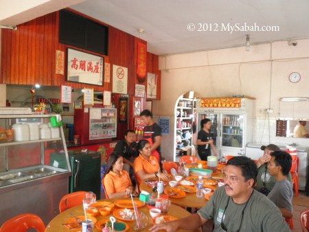
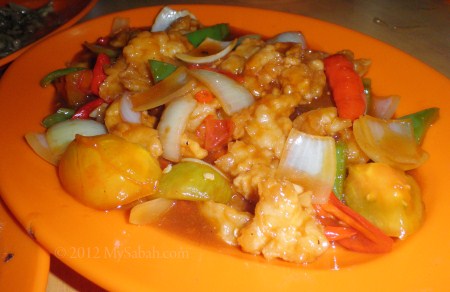
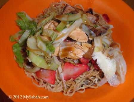
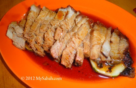
You can ask them to prepare meal for you (RM20-RM25 per head). They have a nice dining room too. I’m not the fussy kind of tourist who would complain about food not serving on hot plate. With such facilities in forest, it’s better than what I expect. You may contact Yayasan Sabah for booking of room.
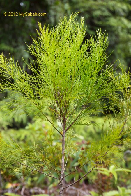
Because Millian Forestry Center is in the wilderness, it’s nothing to do at night, so I just took a night walk to explore the jungle nearby.
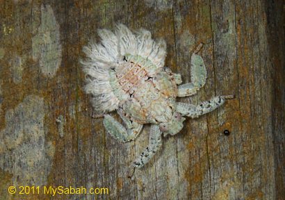
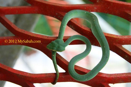
Anyone knows what is the name of the insect above?

Day 2
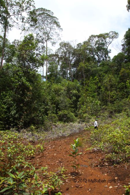
After a nice breakfast in next morning, we checked out at 6:30am and headed to the base camp of Pinangah Forest Reserve, which is about 35-minute drive away and the starting point of the trail to the Center of Sabah.
On the way, most are excited about the trip but also a bit worried about the leeches, the little blood suckers in rainforest of Borneo.
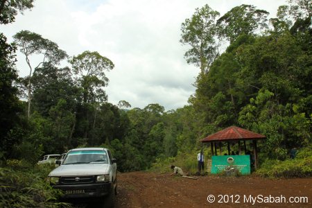
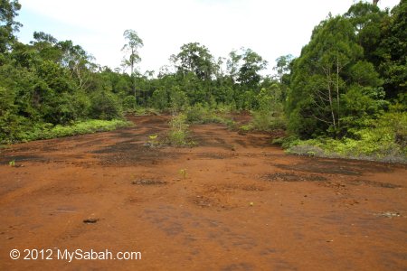
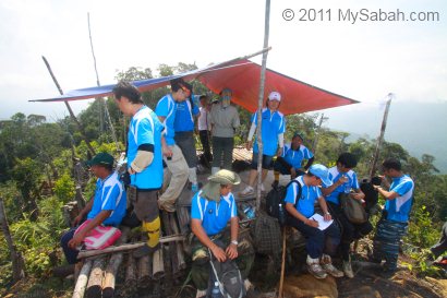
The base camp is only a big open space. We parked our 4-wheel drives there and ready for the climb.
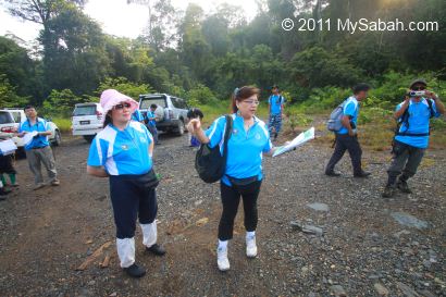
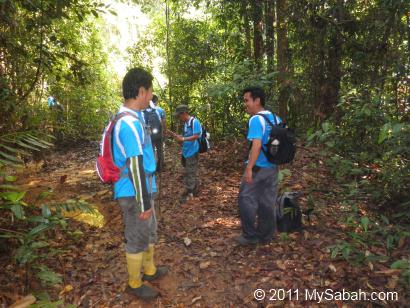
Above: marking attendance and briefing before the climb.
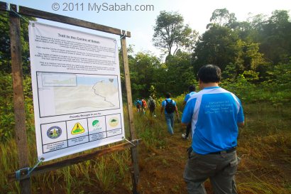
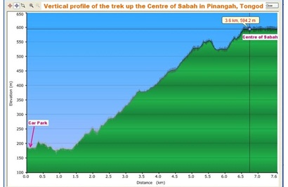
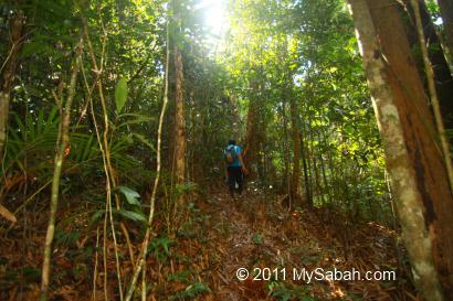
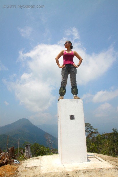
The Center of Sabah is located on top of RISM Hill (Bukit RISM), with a height of 584.2 Meters above the mean-sea-level and inaccessible by car, so we have to walk 3.6 Kilometers of jungle trail in Pinangah forest to reach the Center. Personally I like it because it is like an adventure.
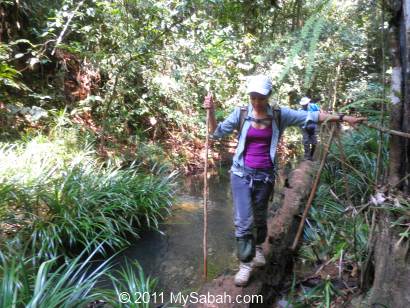
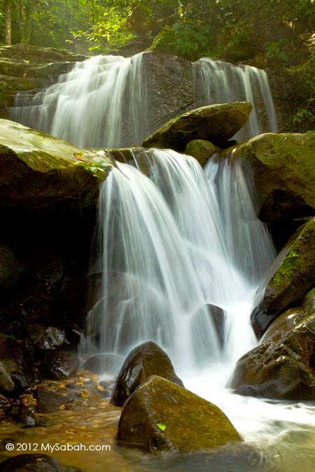
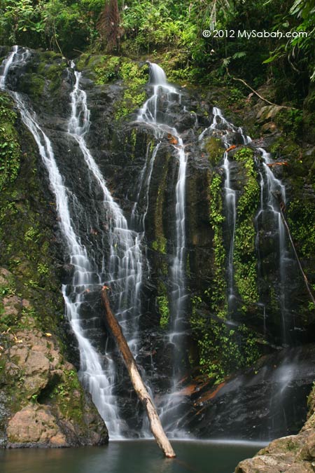
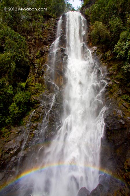
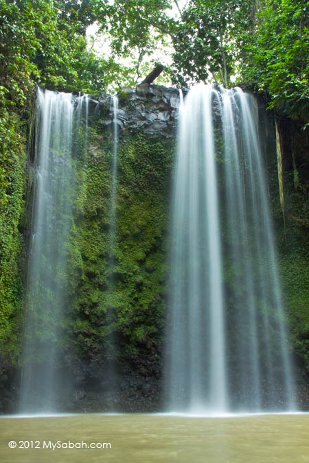
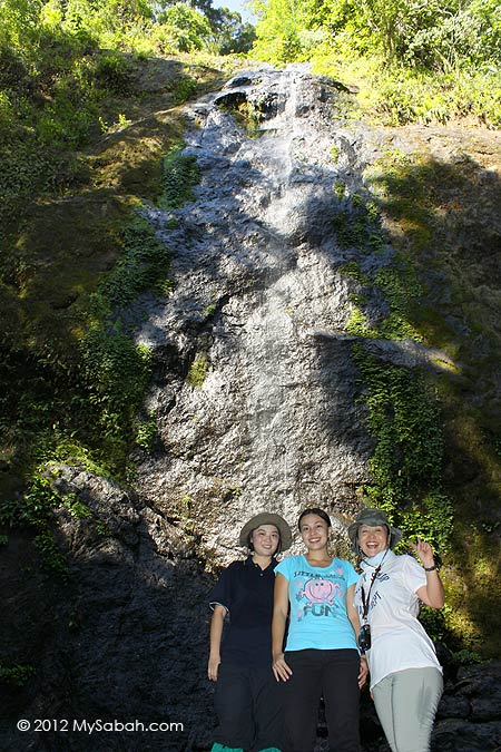
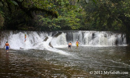
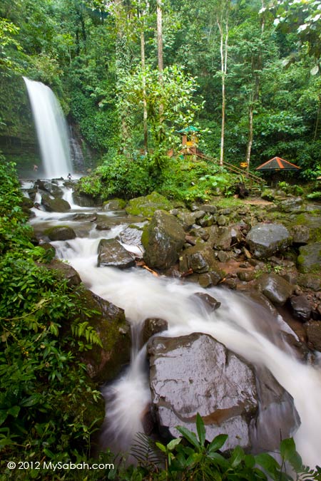
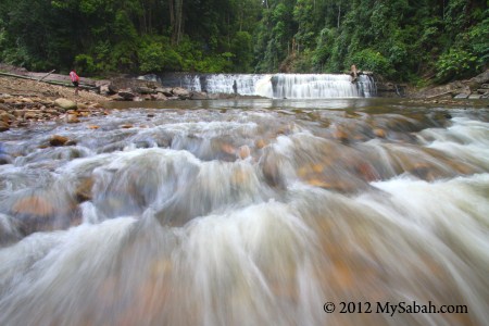
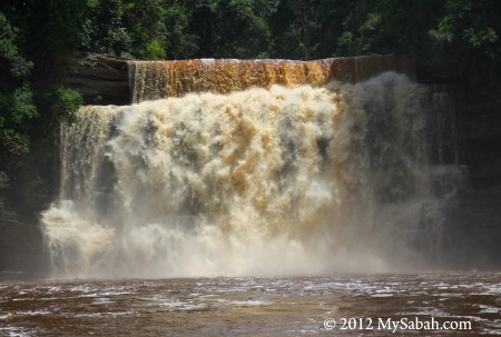
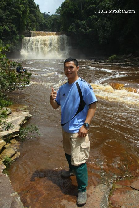
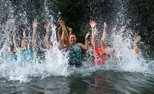
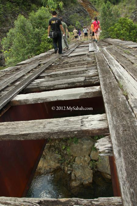
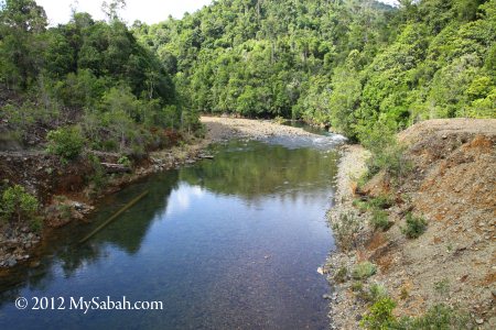
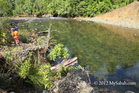
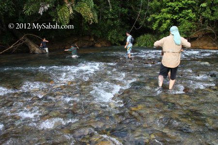
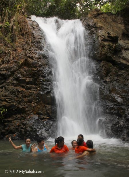
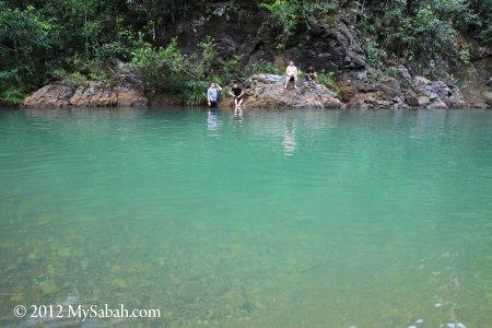
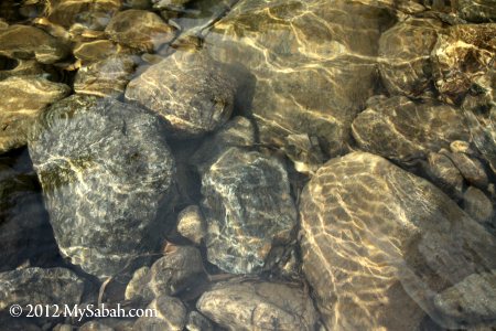
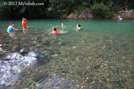
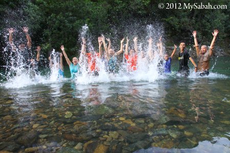
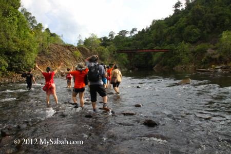
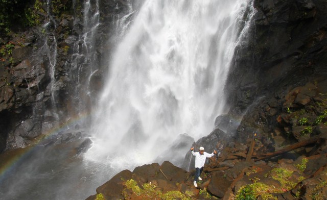
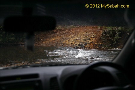
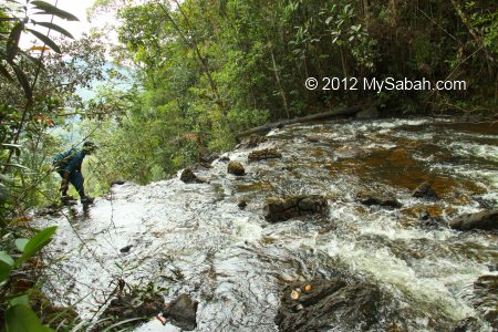
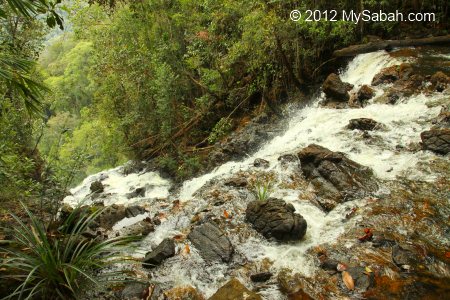
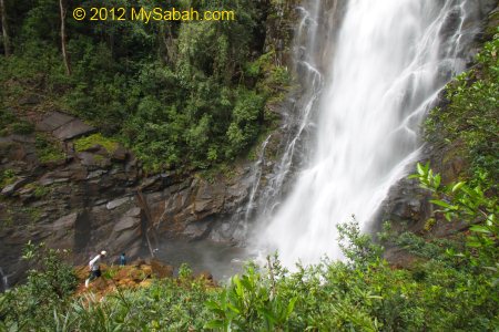
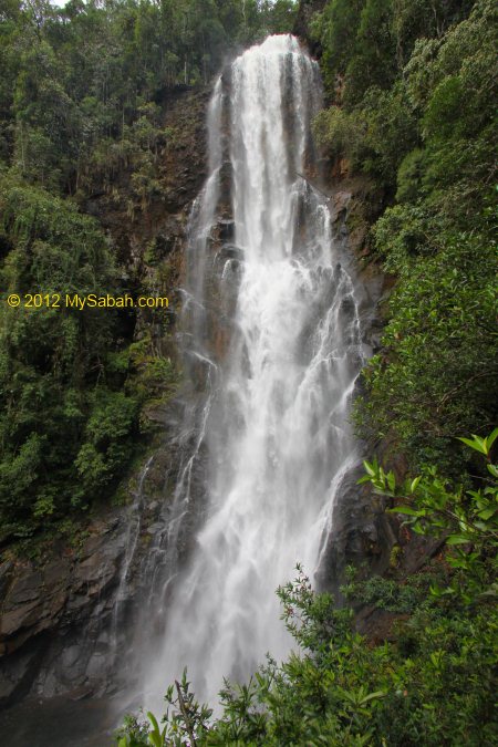
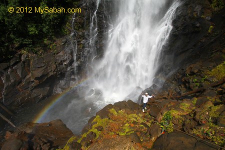
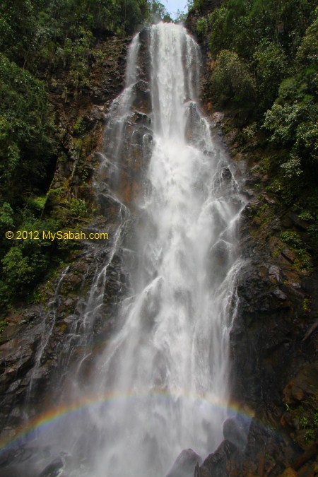
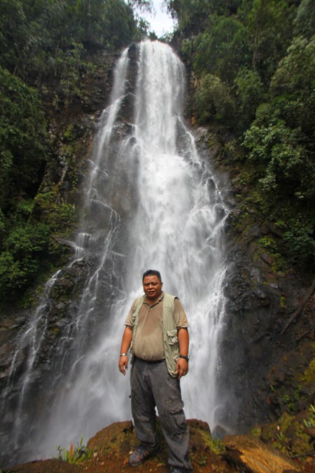
We crossed 3 rivers along the way. We also pass by a small waterfall and the water is so clean and refreshing.
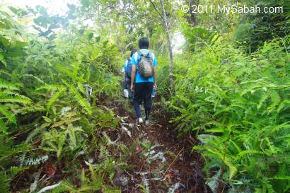
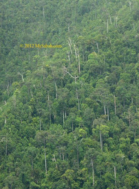
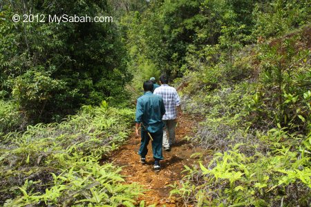
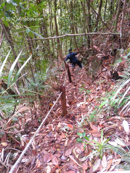
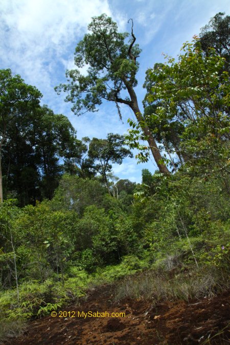
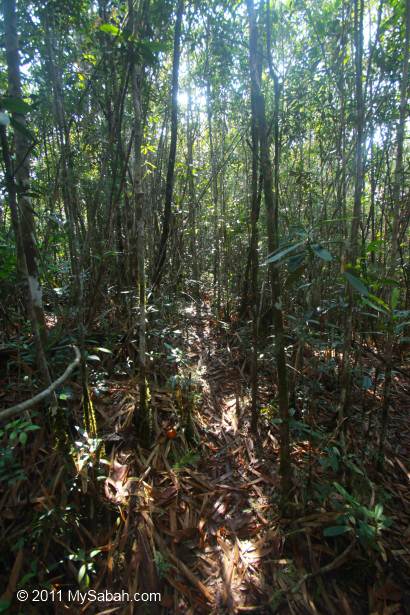
The “fern path” at the beginning is a nice view. Very soon we entered the dense and humid secondary forest. A recce team had marked the trail with white paper the day before, so we wouldn’t lose our way. The trail is nature and have no support such as boardwalk, rope and ladder. Some little brown leeches are lurking in the damp forest ground, creating panic among the ladies, fortunately not too many leeches around today.
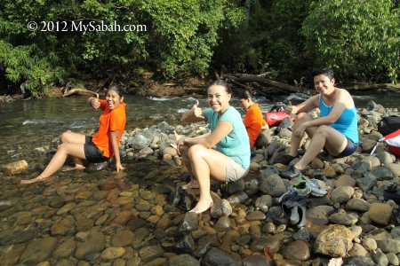
Above: take a break in halfway
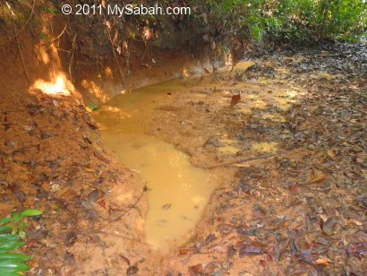
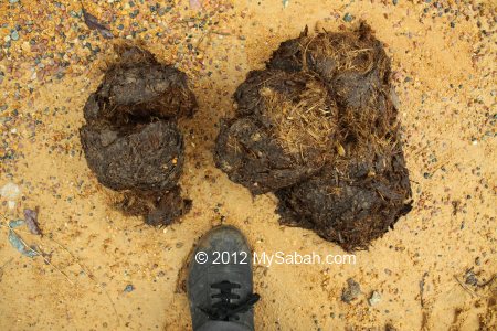
As hunting is not allowed here, we can see the traces of wild animals living happily here, like the wallow of wild boar shown in photo above.
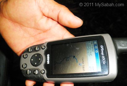
After an hour, a guide shows us his GPS device and tells us the Center is only 500 Meters ahead, as if it is only a few minutes away. We are motivated to move faster, only to find that we are still an hour away from the destination!

The trail is mostly ascending and about 15° in inclination, with 50° for the steepest part. I’m experienced in jungle trekking so I would call this a hiking instead of climbing. The only problem is the crawling plant on the floor that we would trip over.
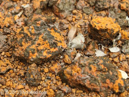
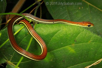
To reach the Center before noon, I was in a hurry and didn’t actively look for interesting flora and fauna. Anyway, I spot tractor millipede, centipede, ginger and some fungus. Someone even saw a small snake being eaten by a centipede. Too bad I miss that.

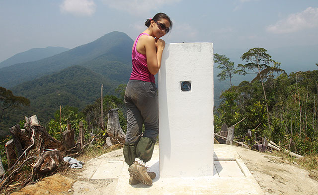
Reaching the Center of Sabah
Even though the climb is not overly challenging, the hike is still taxing. Finally I arrived the Center at 9:30am.
The climb usually takes 2 to 3 hours, depending on how fit you are. Most of us reached the Center before 10am.
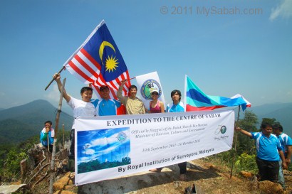
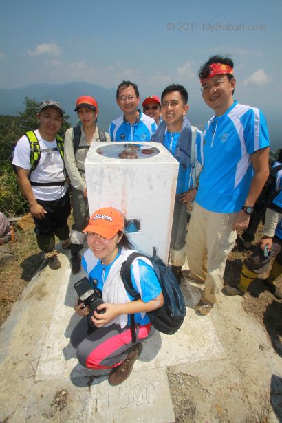
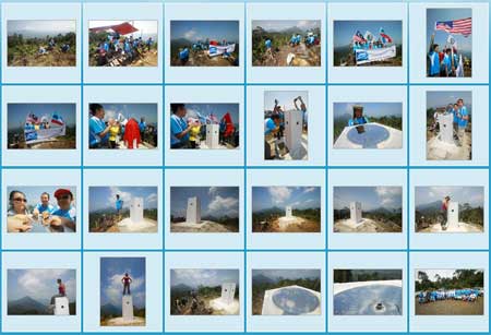
Of course we won’t miss the opportunity to photograph the victorious moment. More climbers come and all of us make it!
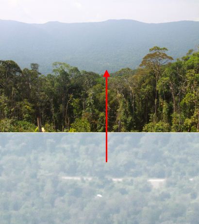
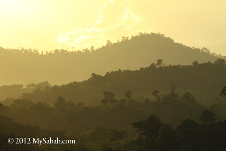
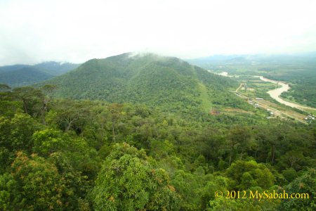
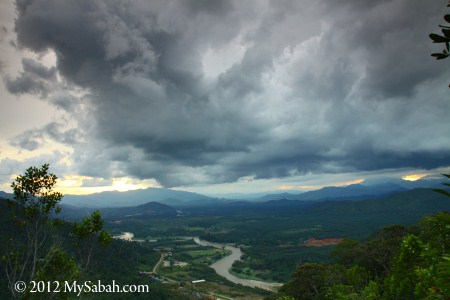
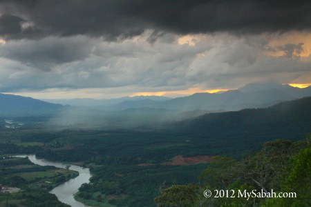
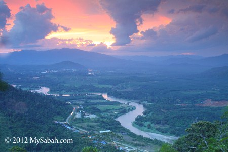
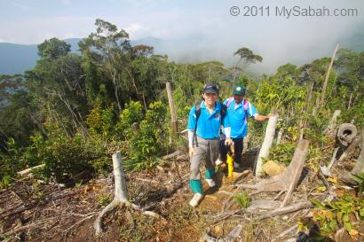
With the special permission of the Sabah Forestry Department, for more accurate GPS reading and better view, the hilltop had been cleared so that we get an unobstructed panoramic view of the surrounding hills from the Center of Sabah. We can even see our cars from the hill (see photo above). Can’t believe we make it that far.

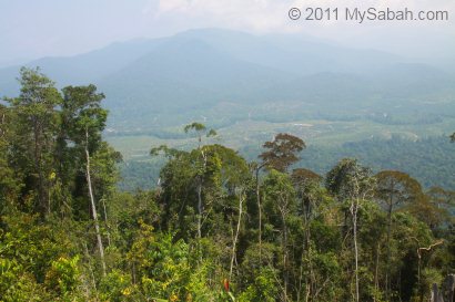
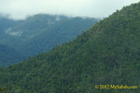
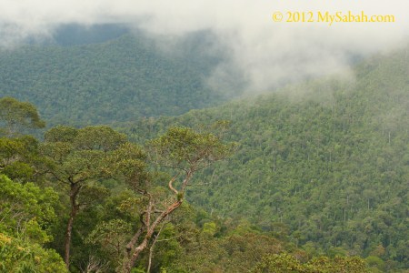
The surrounding view of the Center on RISM Hill is mainly forest and mountain range, a lovely sight.
The day is getting hot, so most of us take shelter under a makeshift camp built on a helipad. This helipad was constructed to facilitate helicopter landings. 4 tons of building materials such as cement was brought to the top by helicopter.
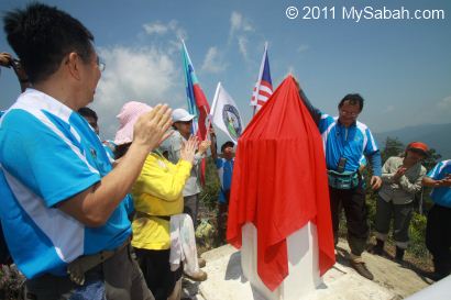
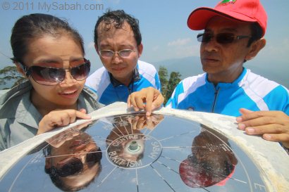
When everyone has arrived, we have a simple unveiling ceremony of Center of Sabah Monument.
Above: we are right in the middle of Sabah!!!
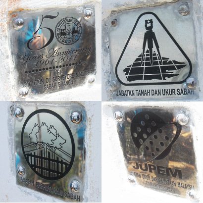
Above: there is a logo embedded at each side of the monument, which acknowledges the 4 organizations that make this project a success. The official launching of the Center of Sabah coincides with the 50th anniversary celebration of the Royal Institution of Surveyors Malaysia (RISM) in year 2011.

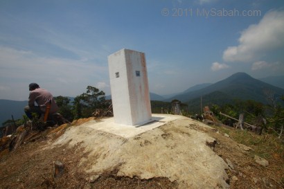
The Centre of Sabah is marked with a survey control point named M500 – Bukit RISM planted at the peak by JUPEM.
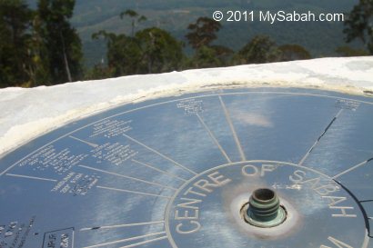
There is a toposcope on the monument that shows the direction and distance to the popular attractions in other parts of Sabah, for example, Kota Kinabalu, Tenom, Ranau, Kudat, Sandakan, Lahad Datu, Beluran, Beaufort, Long Pasia and Semporna.
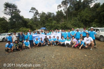
Above: a group photo to conclude the end of our expedition.
You may watch the 3-minute video below to see the overall Expedition:

How to get there
As there is no travel agent selling tour package to Centre of Sabah, you will need to arrange your transport, meals, entry permit and guide on your own. It’s not difficult, but you have to communicate with a few parties back and forth. Basically, there are three main tasks:
1. Get a Permit
Because Centre of Sabah is located inside a protected forest reserve (Pinangah), you need to apply an entry permit from Sabah Forestry Department (SFD). Just write to the Director of SFD in Sandakan HQ to request for permission. In your letter, please state:
- Number of people going (include your driver too), with details such as Name, ID and Nationality
- Date of your visit
- Purpose of your visit (i.e. visit Centre of Sabah)
- Your contact (phone, H/P, fax, e-mail)
- You may request for a guide. I’m sure they will send forest ranger(s) to go with you anyway
*SFD may collect permit or guide fee
Look for general phone number of SFD in Sandakan in their website. Ask for the correct fax number or mailing address to fax / send your letter. They are very efficient and usually get your application processed on next day, but I advise you to apply at least one or two week earlier, because you may need to do paperwork and make payment.
2. Booking the Accommodation
You may spend a night in Millian Forestry Centre (of Yayasan Sabah Group), which is near to the starting point of your climb. Below is the price list of their accommodation and services (rates of Year 2014/2015), and the phone numbers for booking.
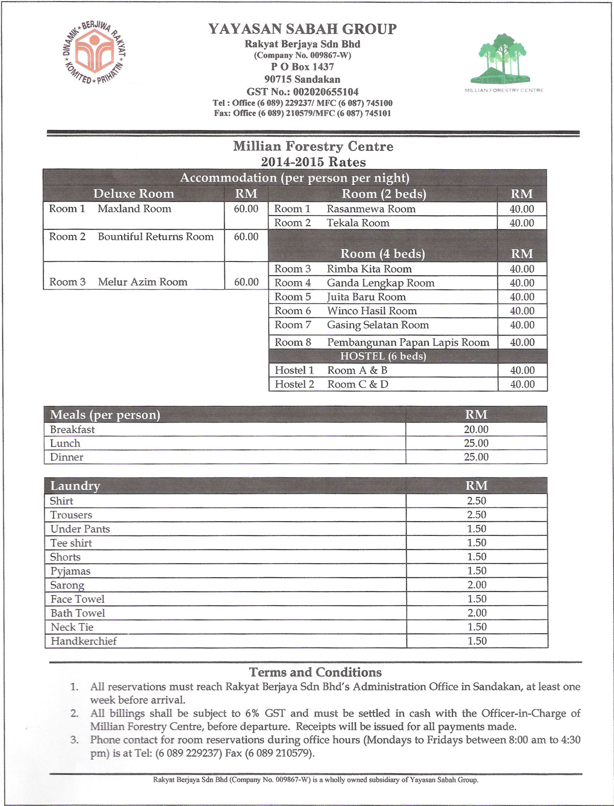
Pic: please note you need to add 6% GST Tax on top of final amount
Besides booking a room, you also can pre-book your meals with them. You also find more details at the Facebook of the Centre of Sabah.
3. Other Things
For example, if you don’t have a 4-Wheel Drive, you will need to rent one. You better buy insurance for your trip. Here are some recommended things to bring: backpack (with rain cover), raincoat / poncho, mosquito repellent, anti-leech socks, drinking water, energy bar, GPS device, extra clothing / socks, toiletries.
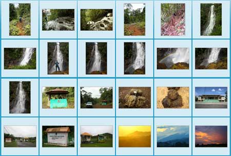
More Photos
You may check out my photo album if you want to see more nice pictures:

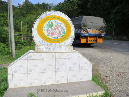
Photos taken in Telupid, Sabah, Malaysia Borneo