Continued from Part 1…
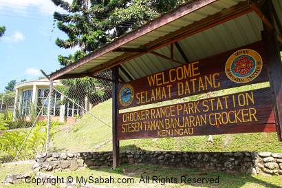
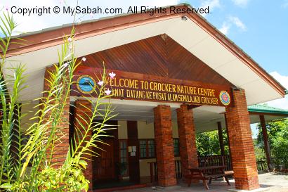
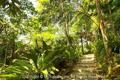
Crocker Range Park is one of the most important national parks of Sabah, due to its rich biodiversity and ecology values. About 500 plant species (1/3 of Borneo’s species), 107 mammal, 67 amphibian, 52 reptile and 26 species of freshwater fishes are found in this Park. There are two nature trails in the Park.
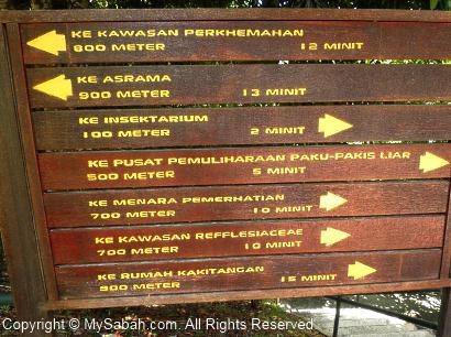
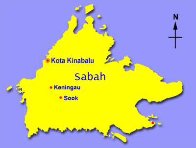
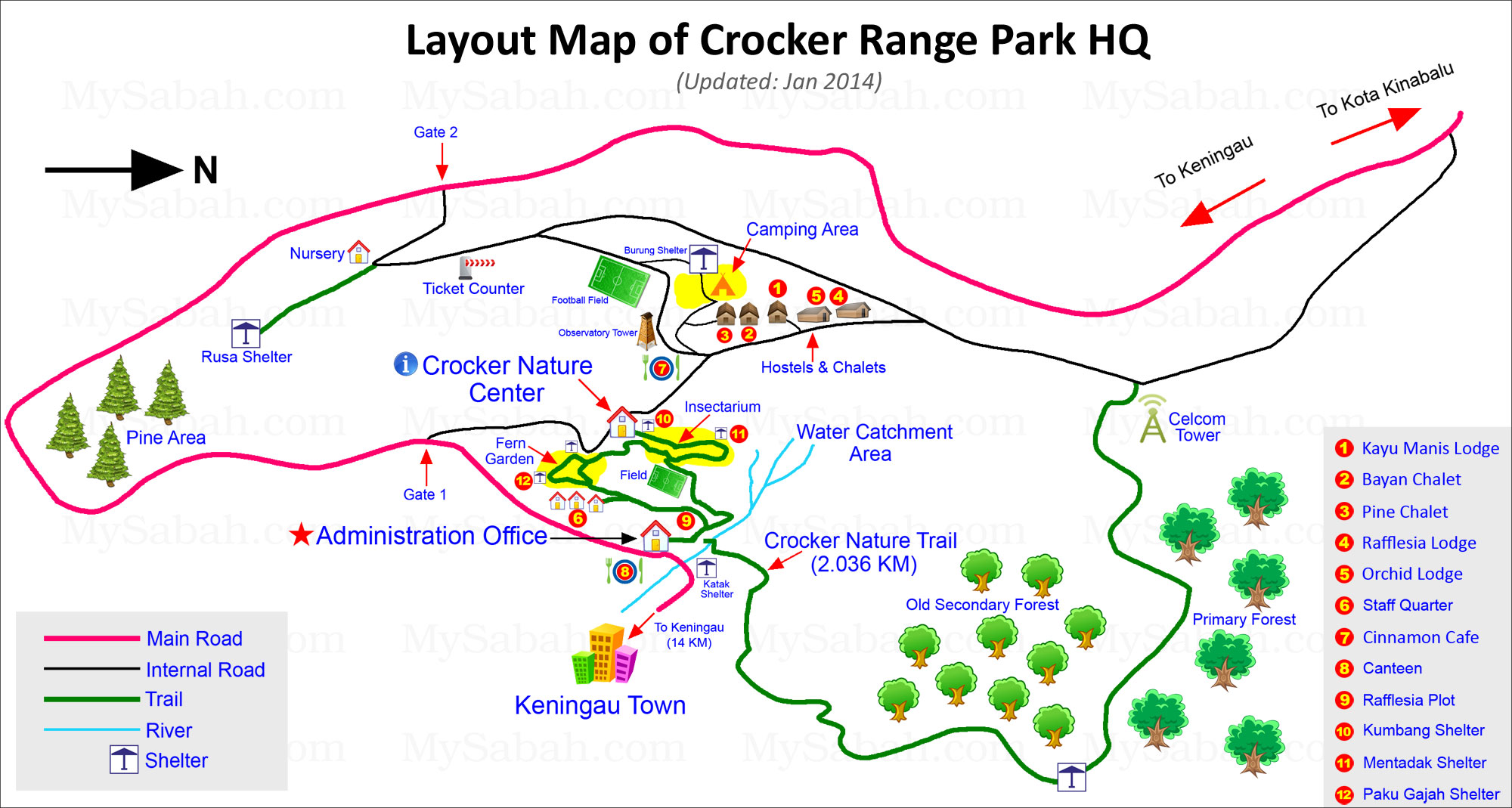
Please refer to the layout map below for the location of both trails:
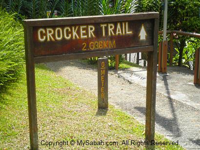
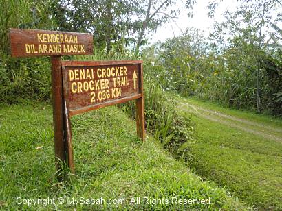
Crocker Trail (2.036 KM)
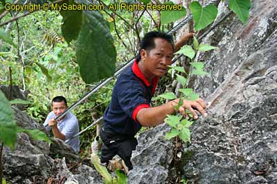
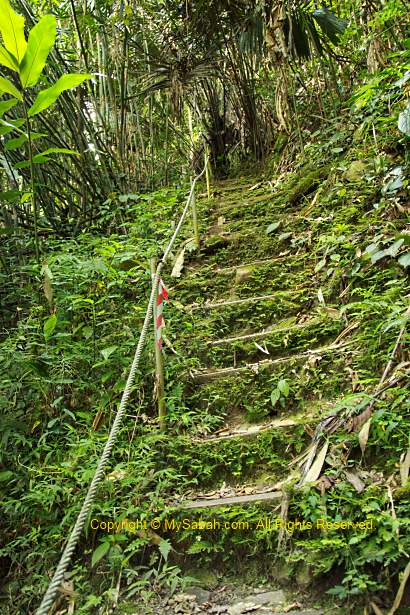
Nature lovers should talk a walk in the 2.036-Kilometer Crocker Range. The starting point is just next to the Administration Office. It’s quite a leisure jungle trekking for less than 3 hours and ends at a point which is 500 Meters from accommodation area (hostels/chalets). You also can start the trekking from opposite direction (i.e. from ending to starting point).
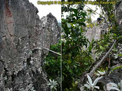
The trail is a nature route but in fairly good condition, so you won’t lose your way. The terrain is not challenging though there are a few mildly steep path.

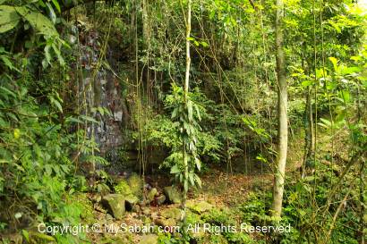

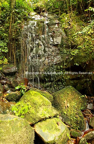
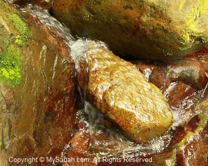
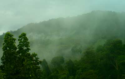
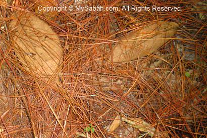
In the begining of the trail is a waterfall and small stream.

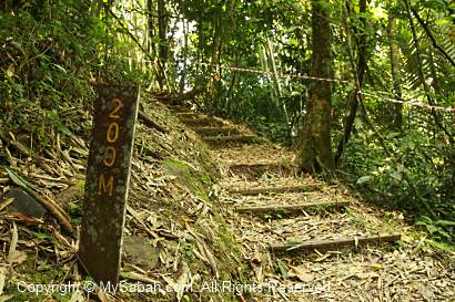
There is a signage in every 100 Meters. You should bring raincoat, insect repellent and a bottle of water with you. There might be forest leeches around in wet season, so you may put on your leech socks. It was very dry during my visit, so I didn’t see any leech.
The first half of the trail is inside old secondary forest, which was used to be a plantation, so you will see rubber, bamboo and banana trees.


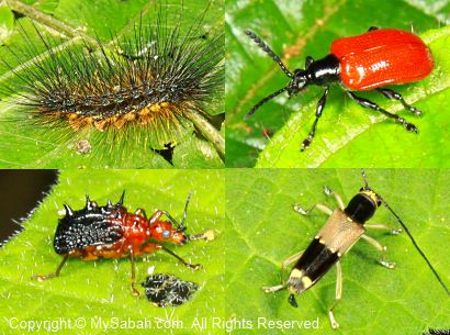

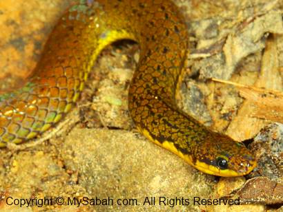
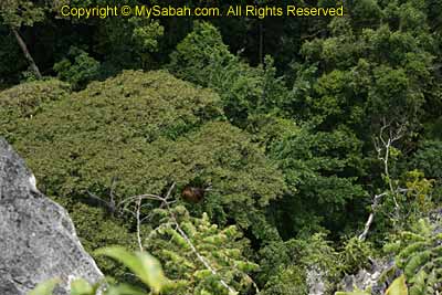
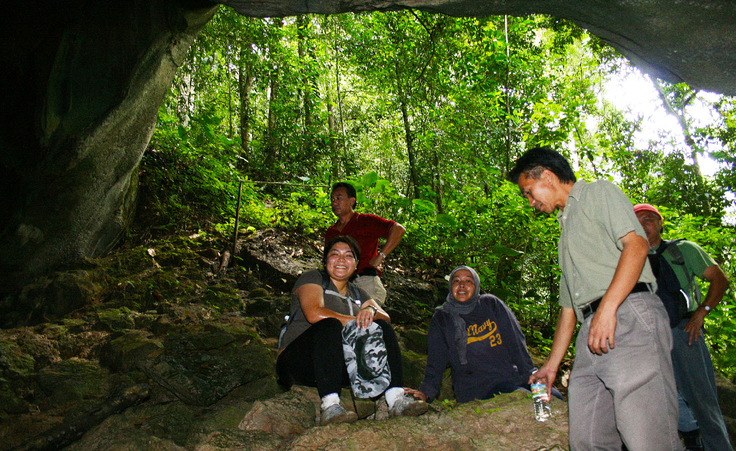
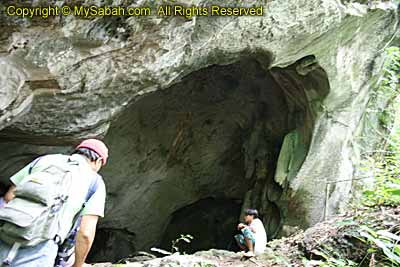
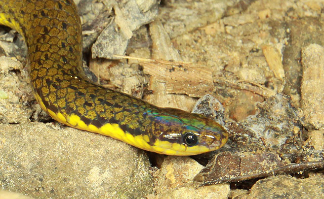
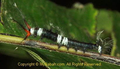
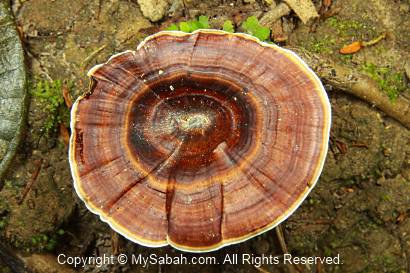
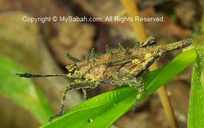
Then you will come to the zone between secondary and primary rainforests. At night, if you are lucky, you would see wildlife such as sambar deer, sun bear, barking deer, mouse deers, wild boar or civets around this area. In daytime, I’m afraid you won’t see any big animal. I only saw a few birds, squirrels and treeshrews. You can pay attention to the shrubs along the trail, you might spot some interesting insects and plant.
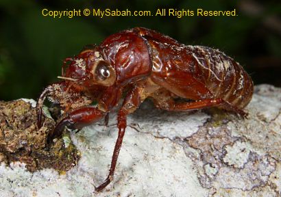
Above: the moult skin of cicada. Cicada spends 12 to 13 years underground. If your child is as old as this cicada, he is in high school already.

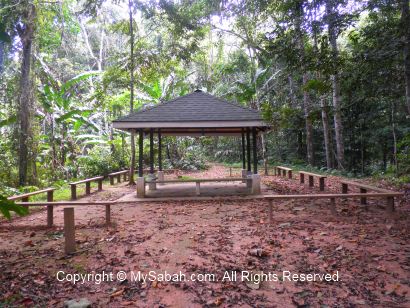
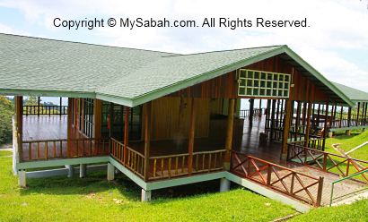
Above: At 1,150th Meter, about halfway of the trail, there is a shelter for you to rest.

Above: the ending point of the Crocker trail. Just follow the gravel road and you will see your accommodation in 10 minutes. To be honest, this trail is less impressive than other forest trails I try in other national parks. But in night time, this trail offers so much to see. Read the next article to find out.
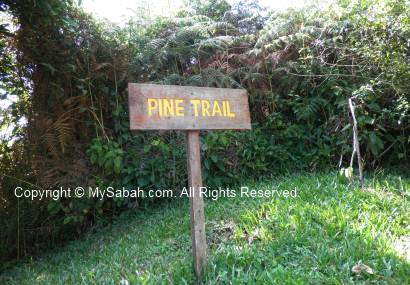
Pine Trail
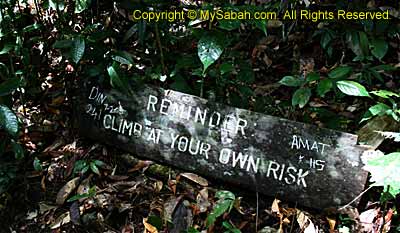
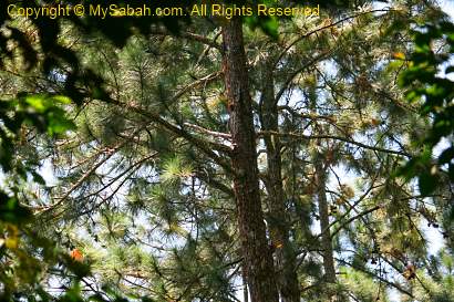
The second trail, which I don’t recommend, is the Pine Trail near the ticket counter (refer to map for location). It is very poorly maintained and look more like an abandoned trail.
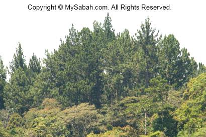
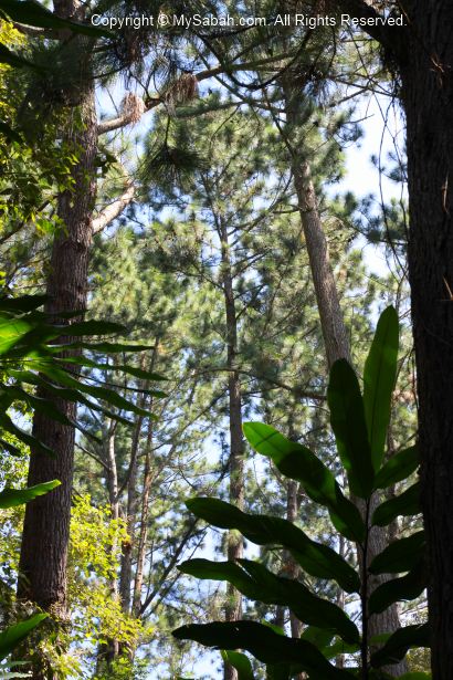
The dense pine woods look so beautiful from a distance. That’s why I decide to check out the Pine Trail. The pine trees were planted by the previous land owner. The Sabah Parks staff did advise me that the pine trail is in less than ideal condition and he doesn’t encourage me to explore.

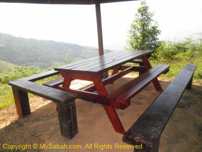
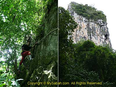
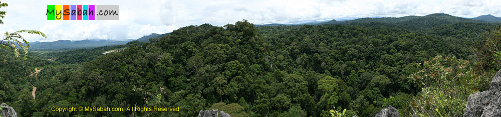
The 1st 150 Meters walk to the Rusa Shelter (Pondok Rusa) is quite ok. I had a good opening view of Crocker Range and Keningau valley from the shelter.
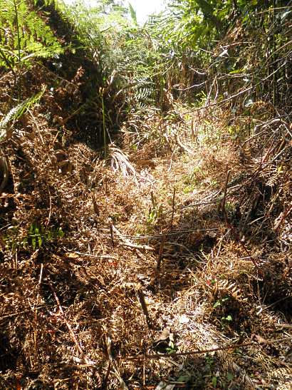
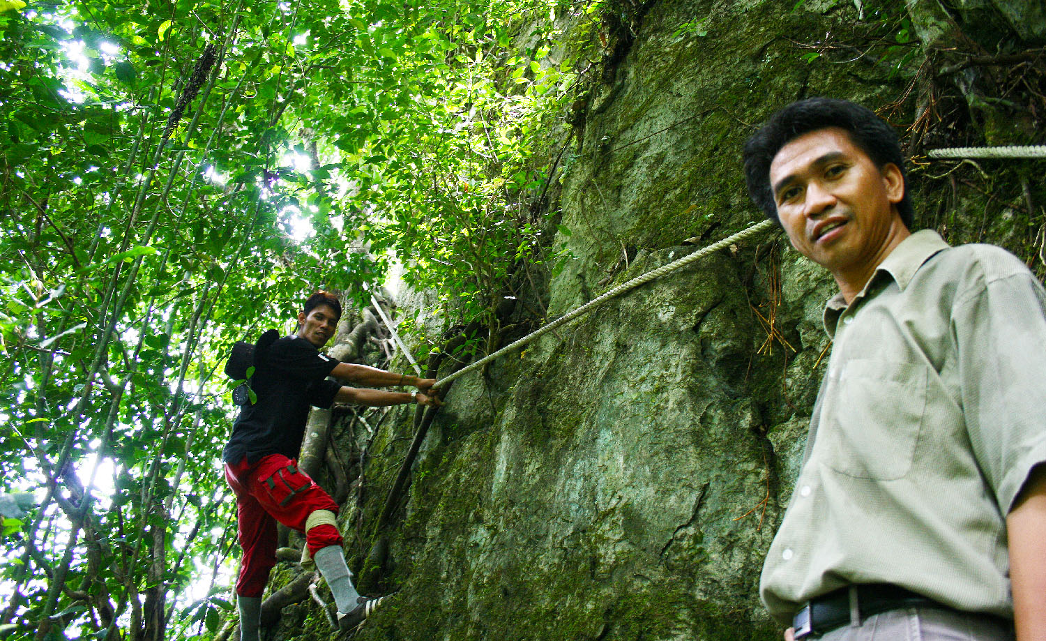
Driven by curiosity, I proceed deeper to the pine trail, where the trail condition gets quite uninviting. The trail was almost unrecognizable and covered by long grass and dense shrubs, and some parts are so narrow. I feel very uncomfortable walking on grass stack with shrubs so near to me, coz that’s where the snakes like to lurk. Though I was hesitating, I was still moving in and I had no idea where is the end.

You also need to be very careful not to trip and fall on the sharp incisions of Acasia shrubs. Such “trap” is everywhere on the trail.
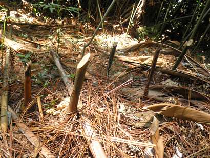
Above: the needle-like pine leaves
It took me more than 30 minutes to reach the pine tree area.
The trail disappears, so I assume I have reached the ending point.
You may watch the 1-min video of pine trail below:

Click Here to see bigger video
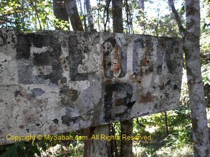
Above: anyone can read what is written on the signage?
Here I am, under the pine trees and surrounded by dense undergrowth. But what’s the point? What am I doing here?
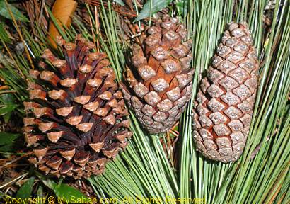
Well, there are a lot of pine fruits on the ground. Someone like to collect this, but not me. Now you know what is the pine trail about.
On the way back to my cabin, I passed by a soccer field, which is worth a mention here.
Soccer Field
The football/soccer field is quite near the camping ground. The Sabah Parks guides tell me that I can see deers playing soccer here at night. Just kidding.
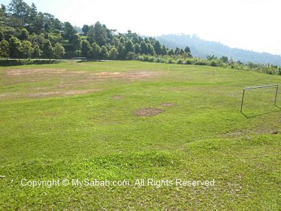
Yes, you can see Sambar Deers (Payau) and Barking Deers (Kijang) wandering in this field at night. Sabah Parks is trying to plant fruit and food crop to attract more deers. In future, they will open a new “Deer Trail” as a new attraction for deer sighting.
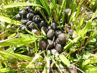
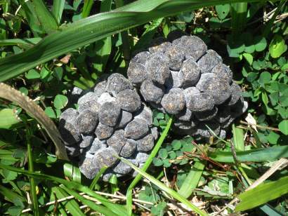
If you walk around, you would see deer dropping on the field, an evidence of their visit.
Observatory Tower
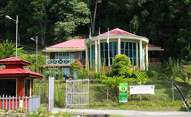
Another point of interest you should check out is the 20-Meter observatory tower next to the restaurant in Crocker Range Park. It is just a stone throw from the Crocker Nature Center.
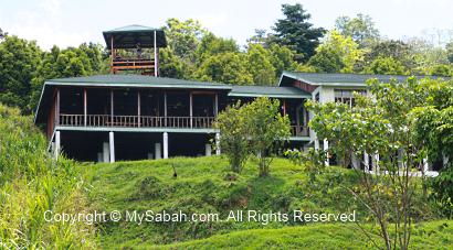

Above: the restaurant (Cinnamon Cafe) next to the tower, opens from 8am to 9pm daily.

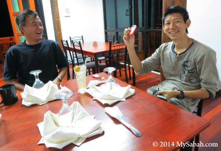
Above: having dinner in Cinnamon Cafe

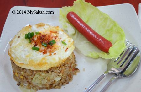
Above: Cinnamon Cafe doesn’t have many choices of food but it tastes ok.

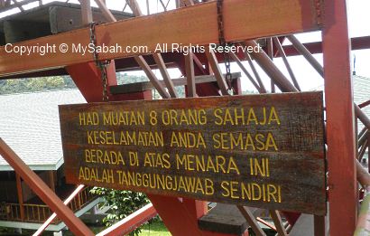
The notice says the tower only allows a maximum of 8 visitors at a time and use it at your own risk.

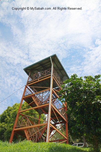
The structure of the tower is mainly steel and very solid.
You may watch the 2-min video of observatory tower below:

Click Here to see bigger video
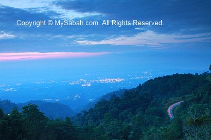
The feature of this tower is – you can get a very nice view of Keningau town from the top. I took the following photos on the tower. You can see the Juta Hotel clearly, the highest building of Keningau.
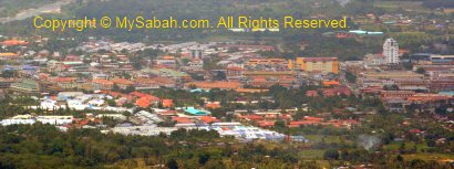
Above: Keningau in daytime

Above: sunrise of Keningau
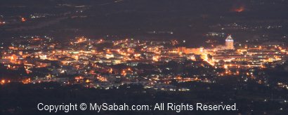
Above: Keningau after sunset

Click Here for Next Article (part 3)
More Photos
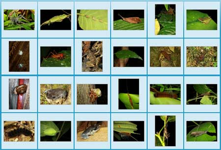
You may check out the photo album of Crocker Range Park for more nice pictures:
All Articles
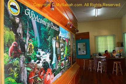
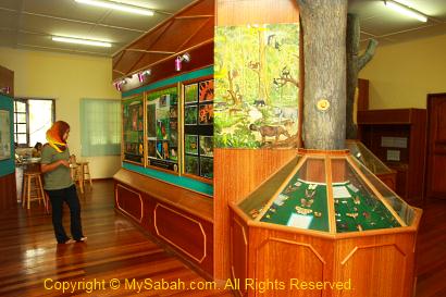
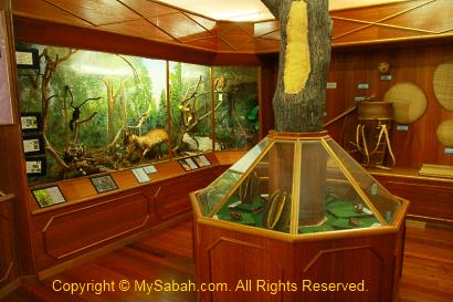
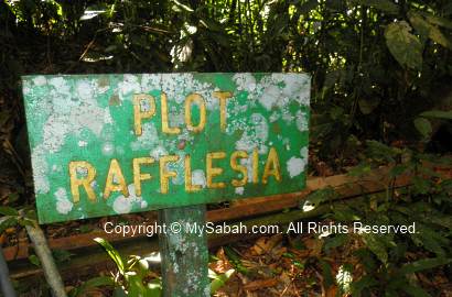
Part 1: Crocker Nature Center, Insectarium, Fern Garden & Rafflesia Plot
Part 2: Crocker Trail, Pine Trail & Observatory Tower (this article)
Part 3: Night Walk
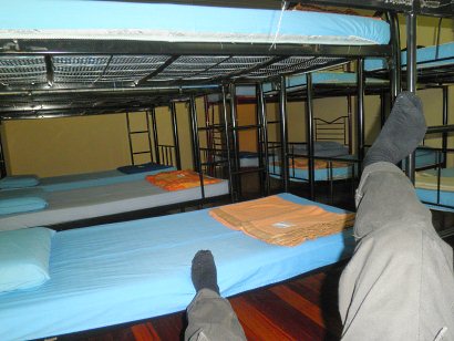
Part 4: Accommodation in the Park
Photos taken in Keningau, Sabah, Malaysia Borneo