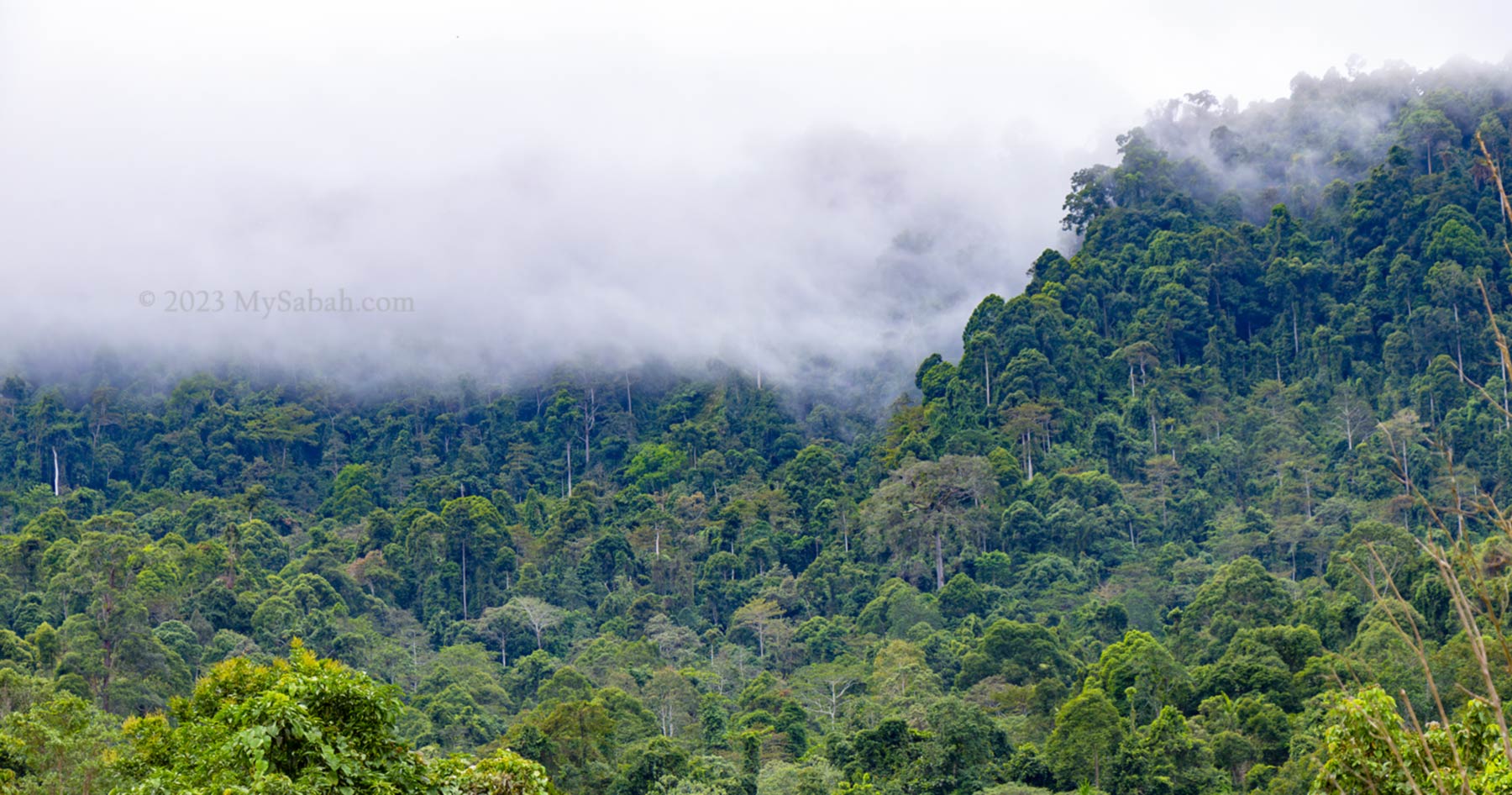
The Rainforest Discovery Center (RDC) is one of the most accessible natural rainforest parks in Sabah. It sits by a lake at the edge of the Kabili-Sepilok Forest Reserve in Sandakan. RDC has been in operation since 1996 for environmental education purposes. Today, it is a 3-in-1 park (i.e. wildlife, bird and botanical) for nature lovers and bird watchers where they can see the unique flora and fauna of Borneo. To students, it’s the best outdoor classroom to learn the rich biodiversity of tropical rainforest.
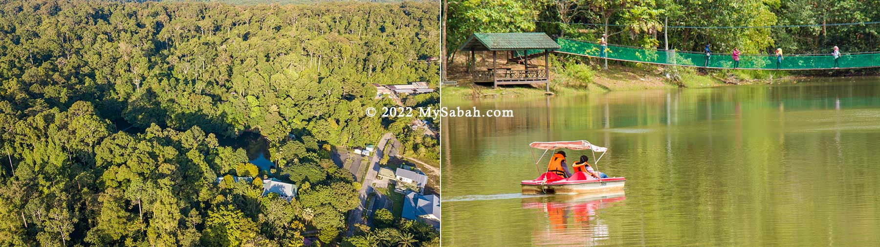
Rainforest Discovery Center (RDC) is managed by the Sabah Forestry Department and one of the most popular Environmental Education (EE) centers in Sabah. A pristine lowland dipterocarp and Mangrove forest with astounding 300 species of birds are recorded in the area.
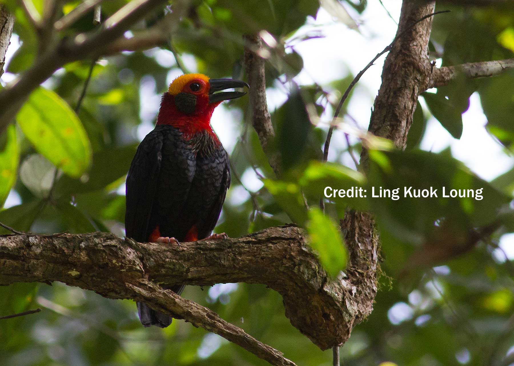
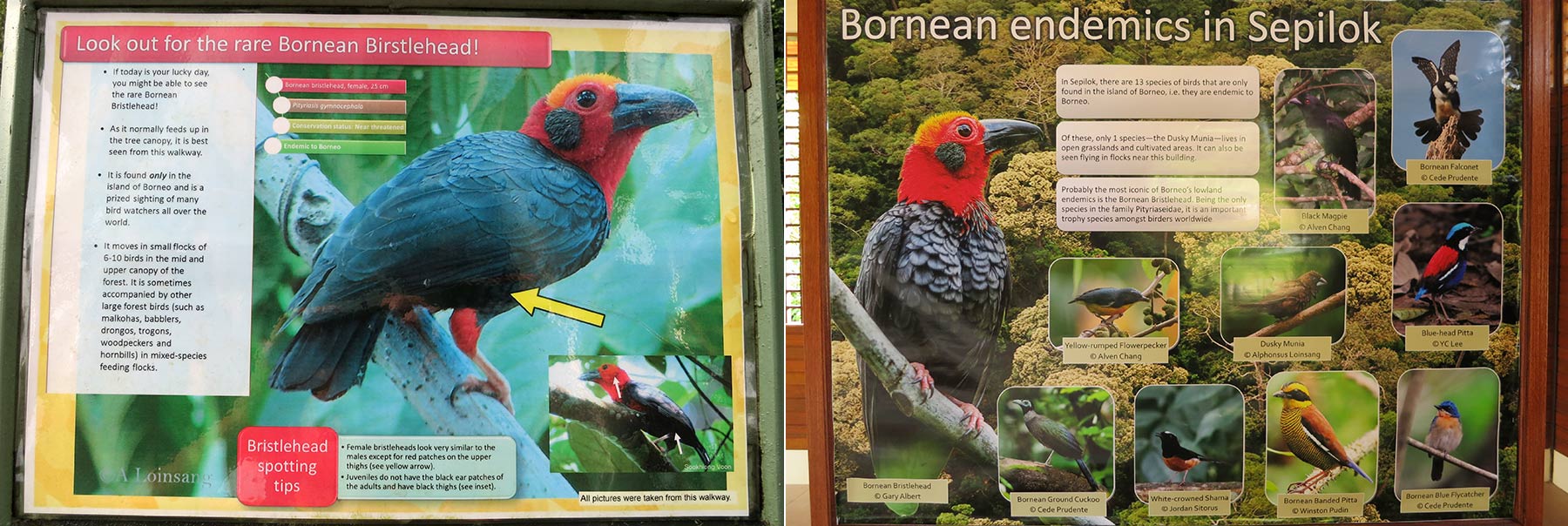
The 4,300-hectare Sepilok-Kabili Forest Reserve has gained birders recognition worldwide for its iconic Bornean Bristlehead, Black & Crimson Pitta, Blue-headed Pitta, Giant Pitta, Black Hornbill, Rhinoceros Hornbill and more. The forest of Sepilok is declared as an Important Birding Area (IBA) by Birdlife International in 2009.
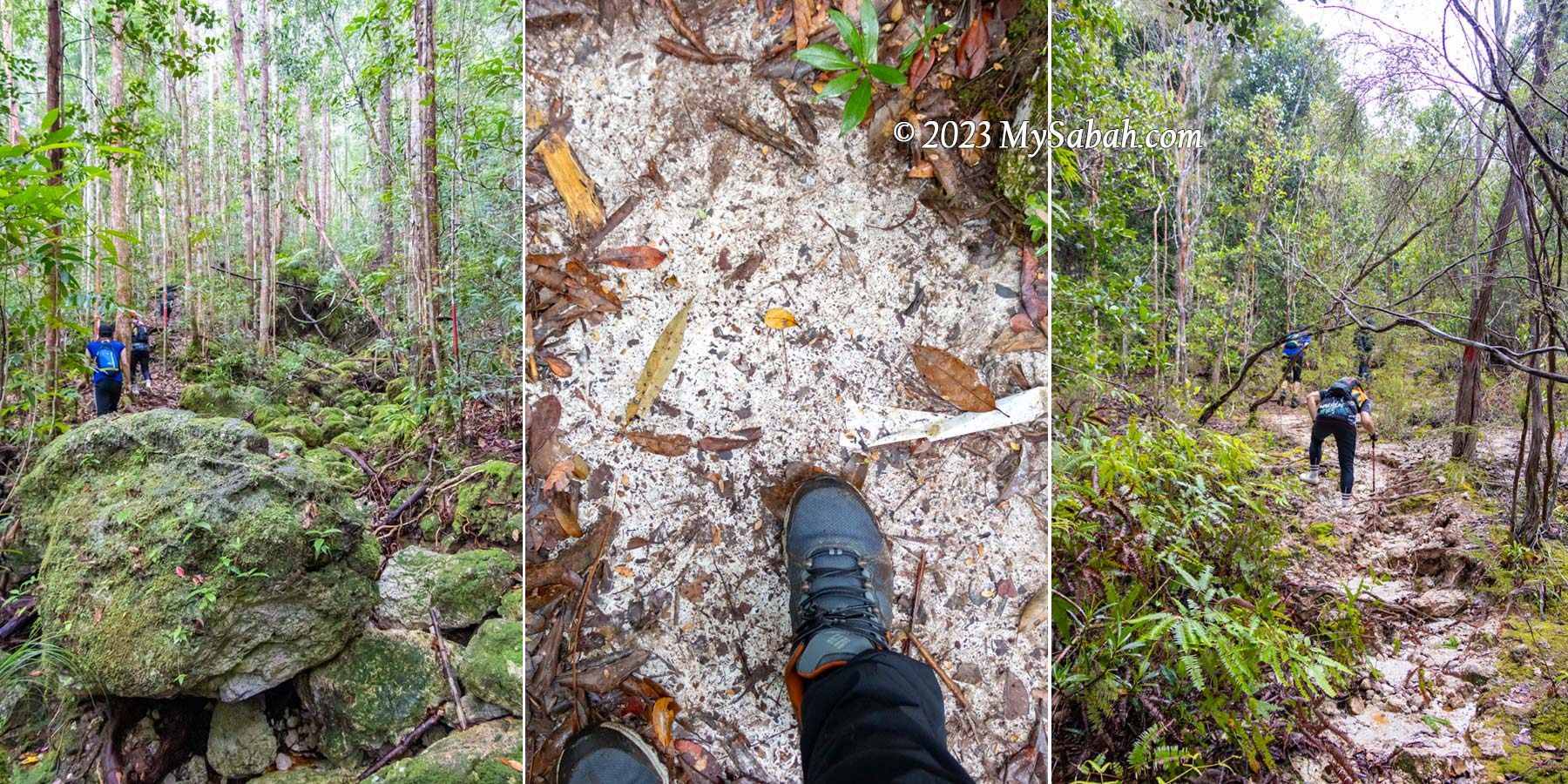
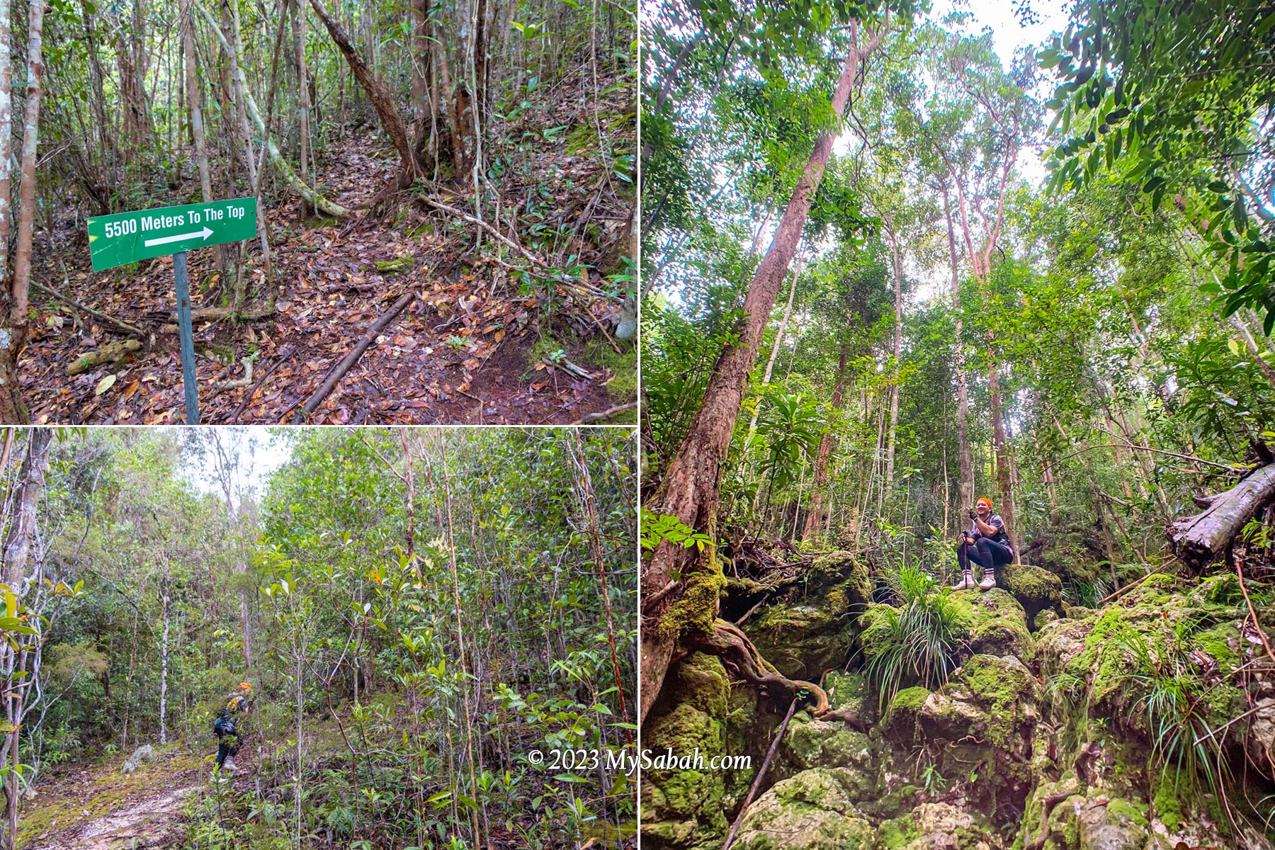
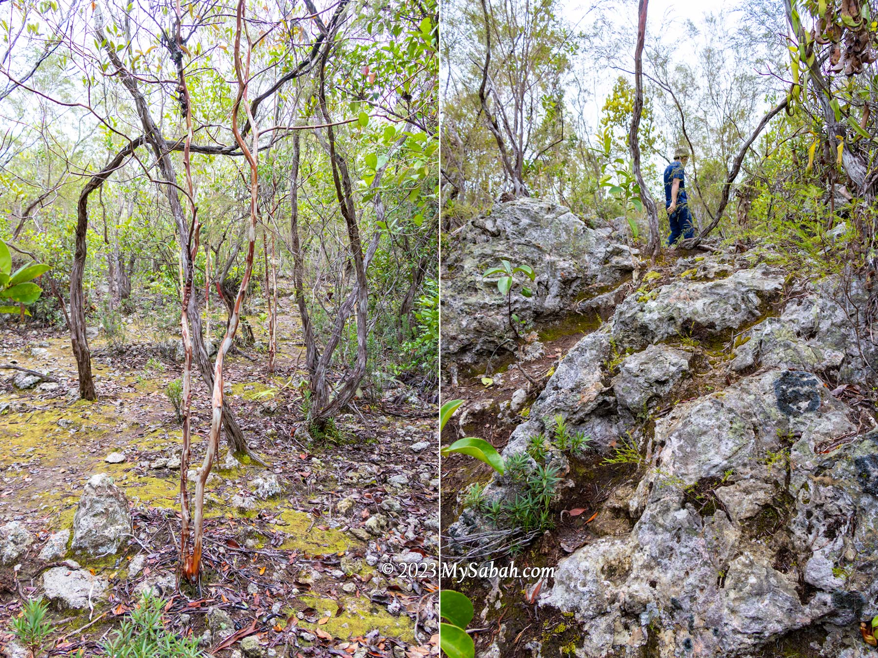
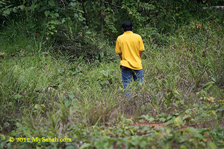
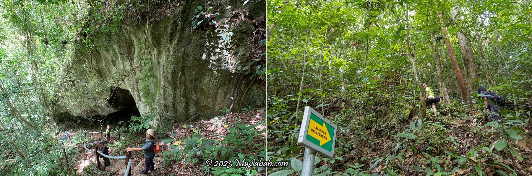
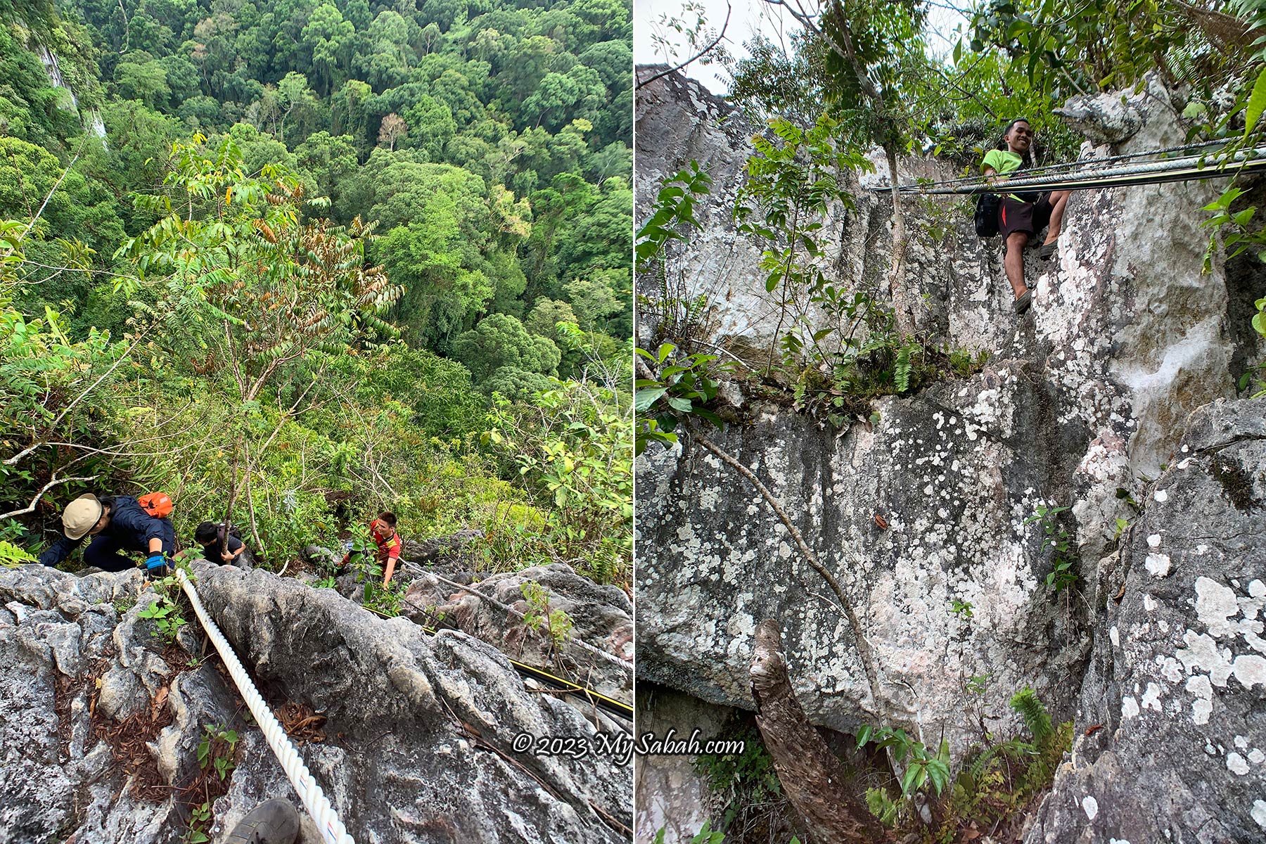
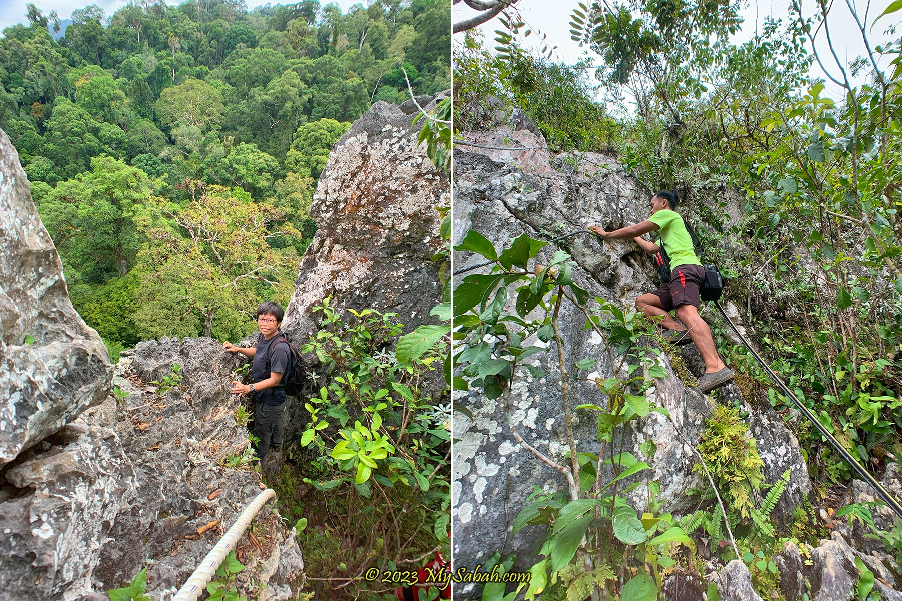
Jungle and Nature Trails
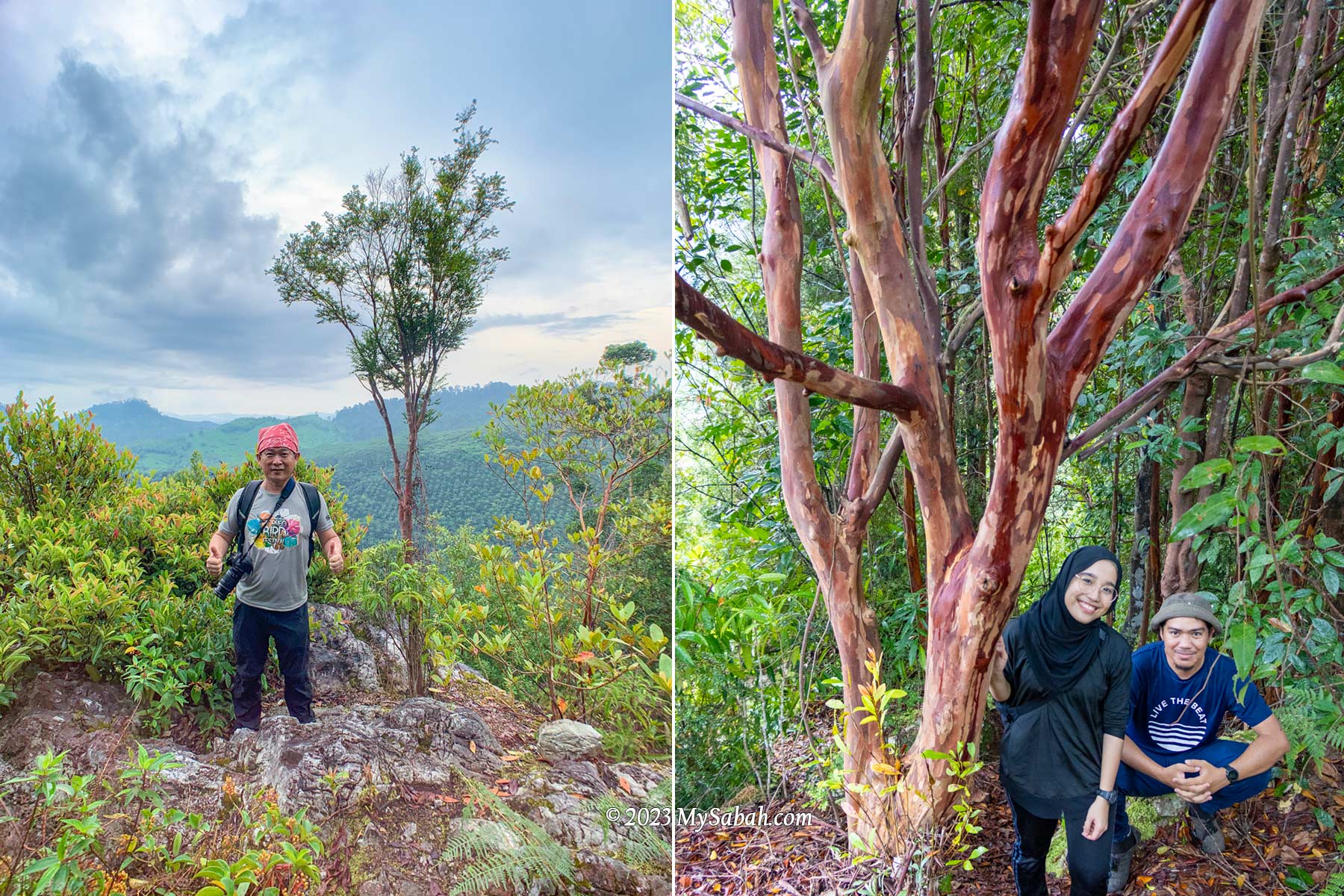
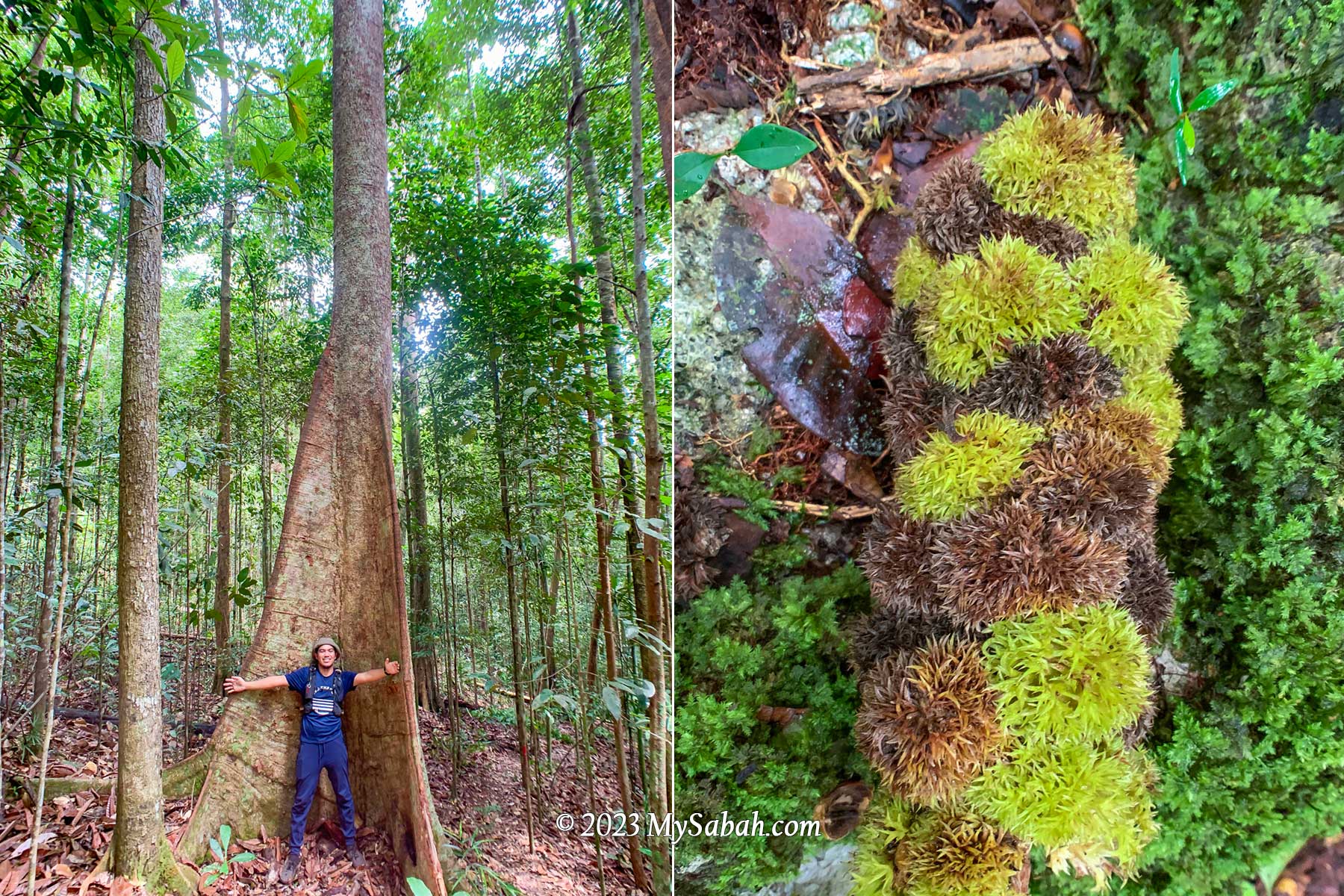
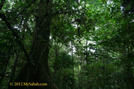
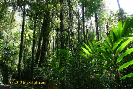
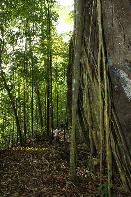
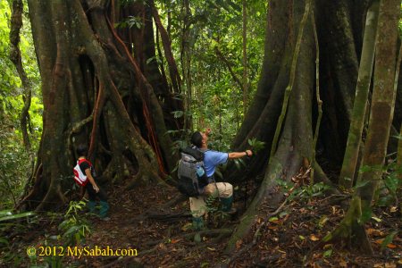
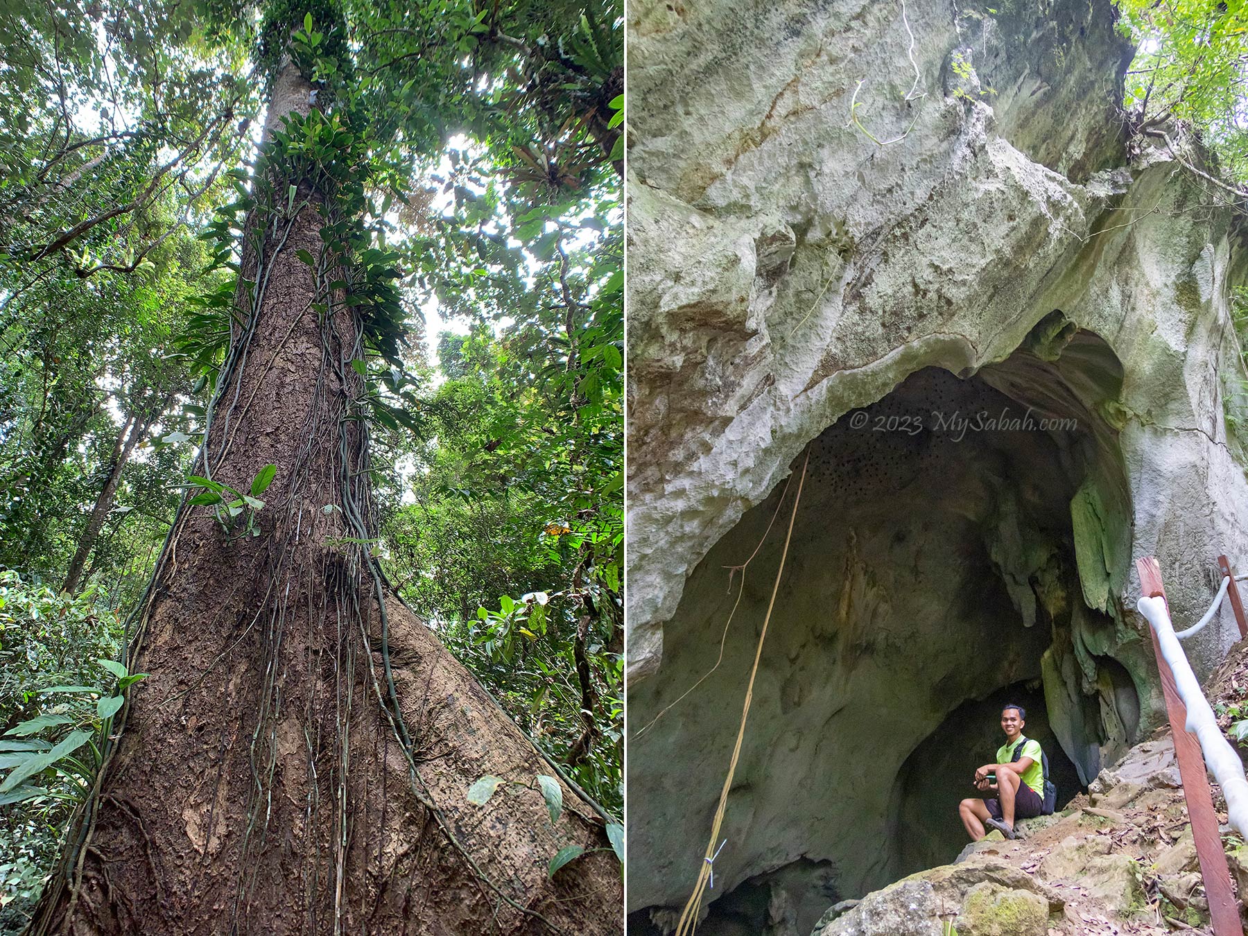
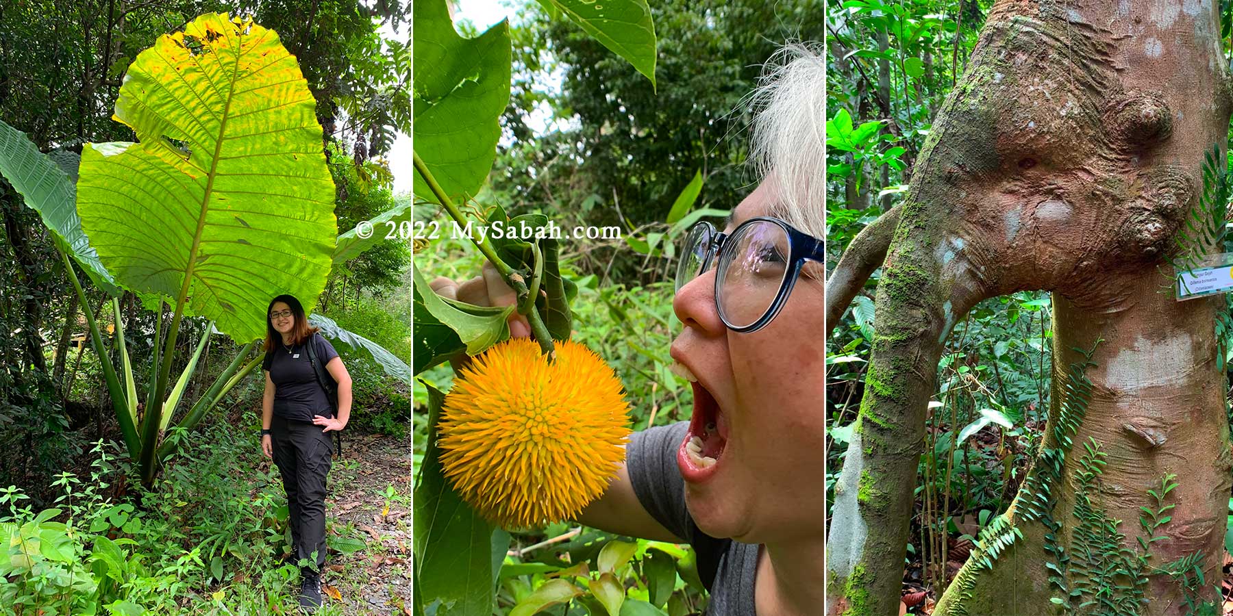
Visitors can walk along the trails and become acquainted with green giants such as the 40-Meter-tall mengaris tree, one of the tallest tree in Borneo. Besides soaking up the sight and getting a good workout, visitors can refer to the interpretive panels along the trail, which has descriptions about the unique residents of the forest.
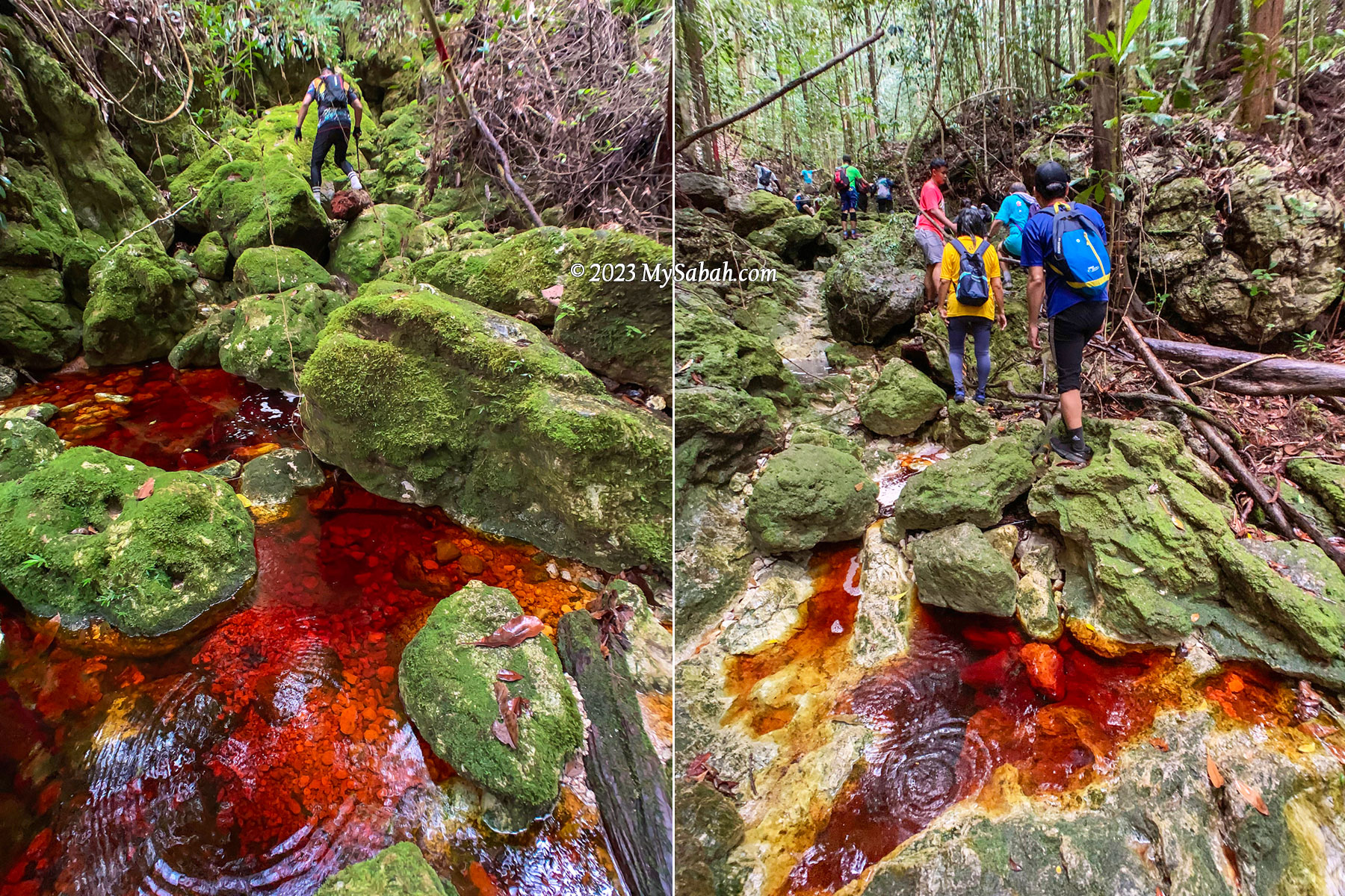
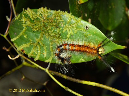
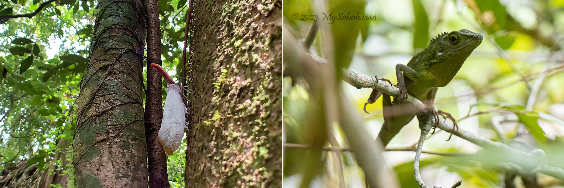
Alert the little ones to keep an eye out for darting civets and flying squirrels (which can glide up to 100 Meters)! And lucky visitors have also spotted animals such as the elusive red leaf monkey, gibbon (the fastest moving primate in tree canopy), mouse deer, civet cat and many odd looking insects such as stick insect and lantern bug.
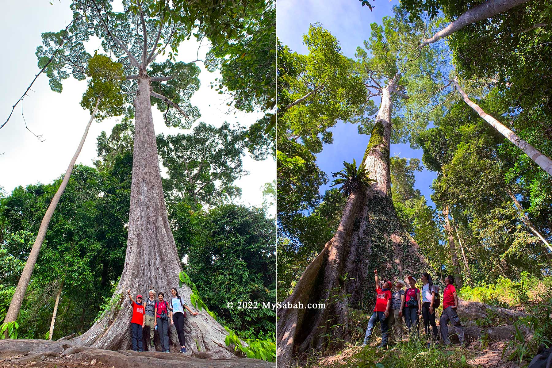
The giant trees that you must check out are Sepilok Giant, a Yellow Seraya tree (Shorea acatissima), which is about 65 Meters in height, with an estimated age of 800-1,000 years old, and the 75-Meter-tall Kabili Monster, an Obah Suluk tree (Shorea pauciflora).
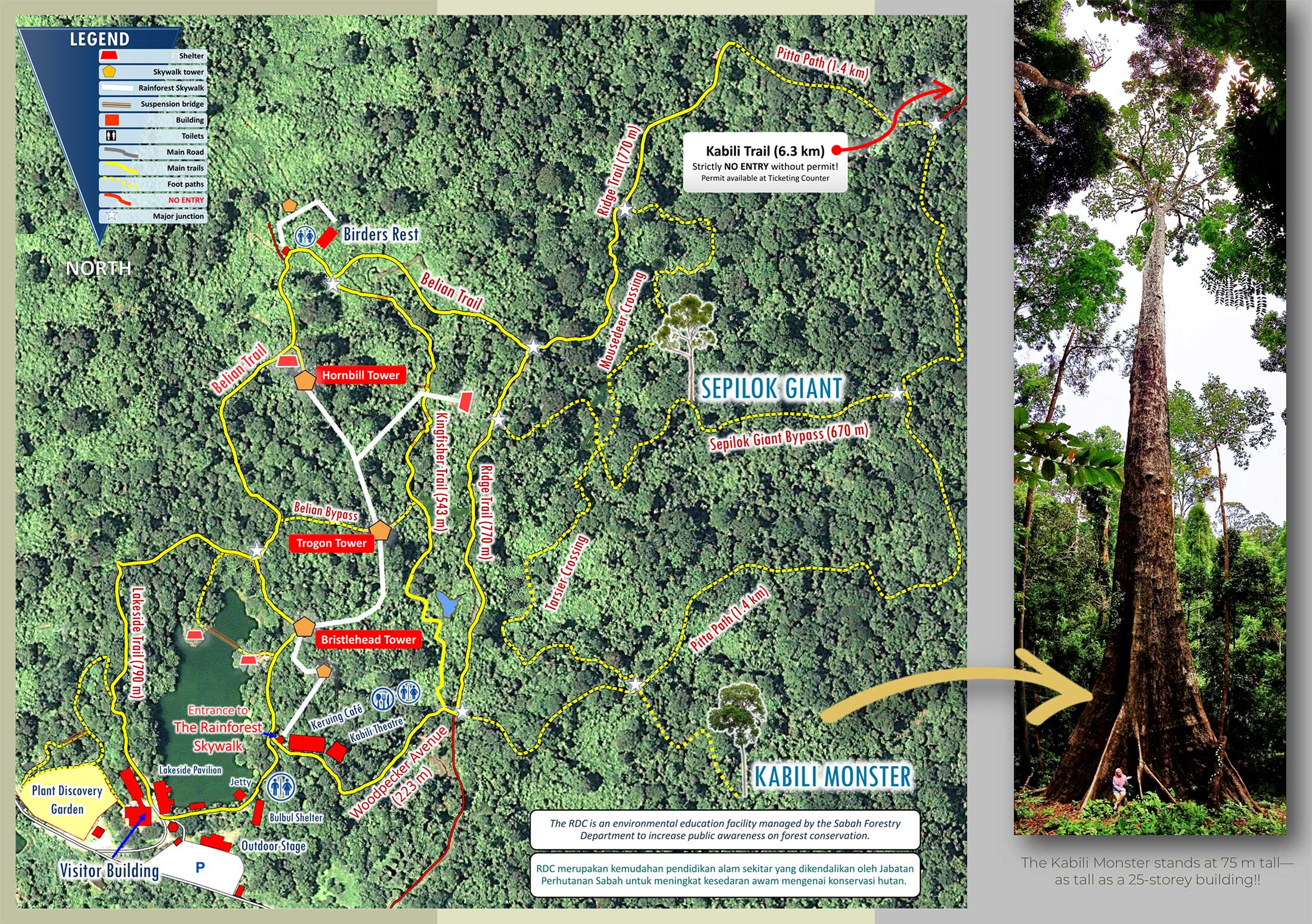
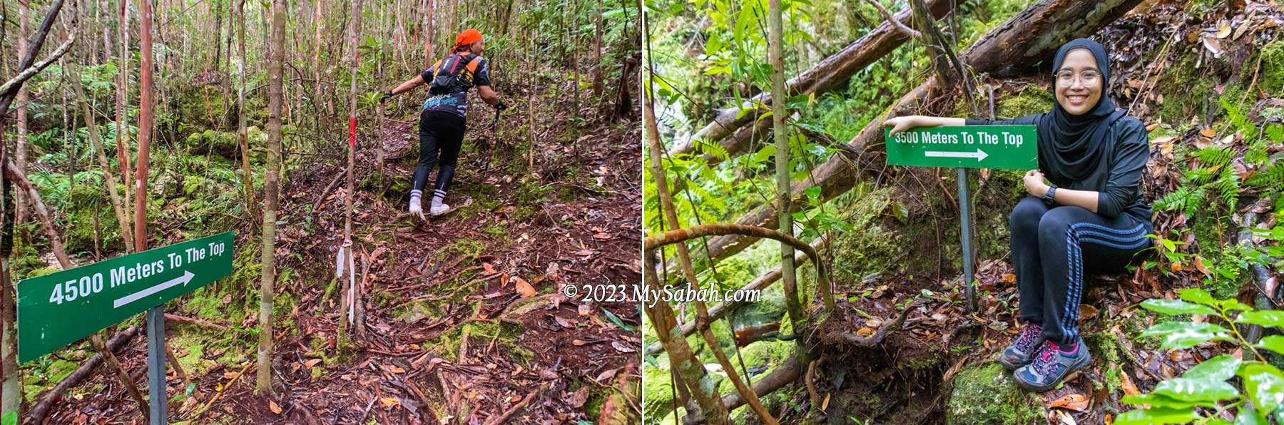
Another tree worths a good look is Belian Borneo Ironwood (Eusideroxylon zwageri), the 7th hardest wood in the world. The main trails are gravel path, and some sections are networks of well-trodden nature (soil) trails for you to explore deeper.
Plant Discovery Garden
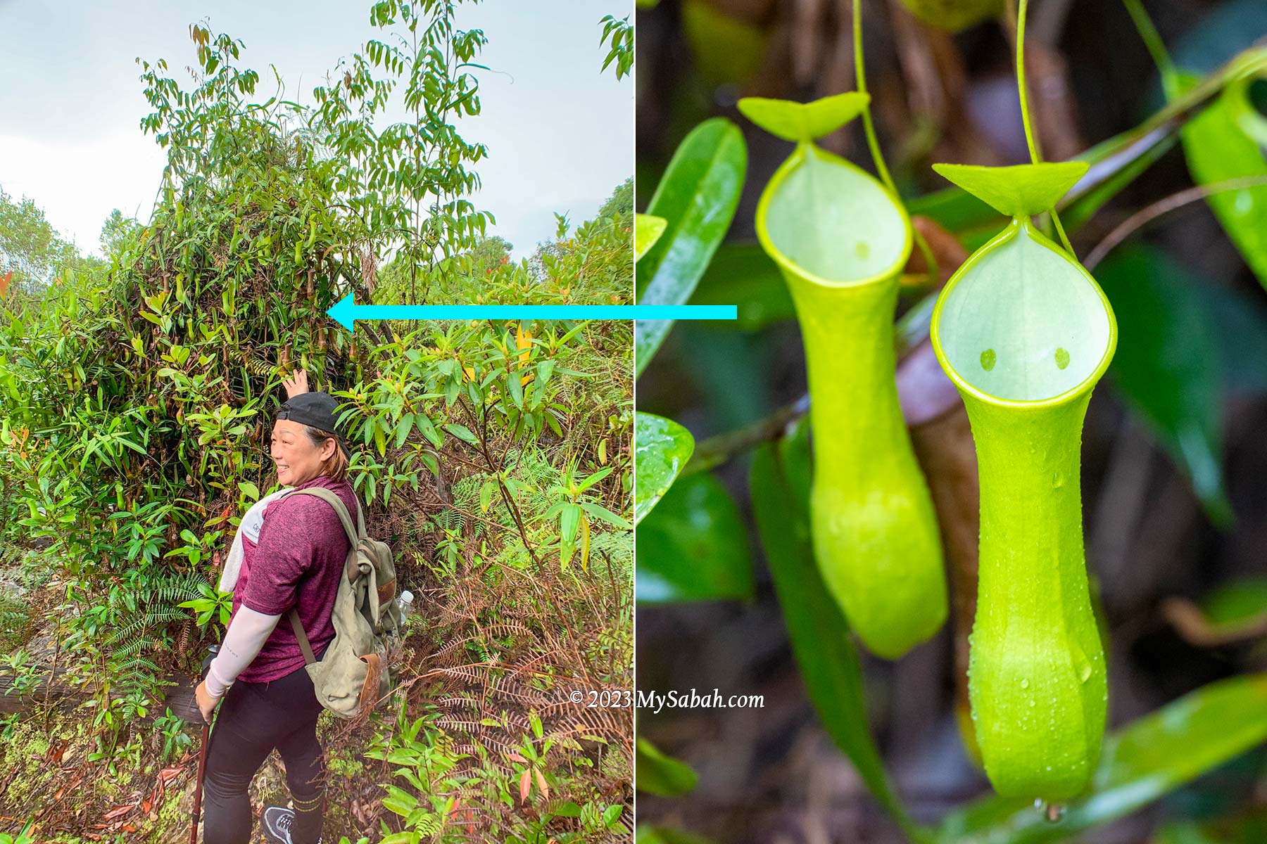
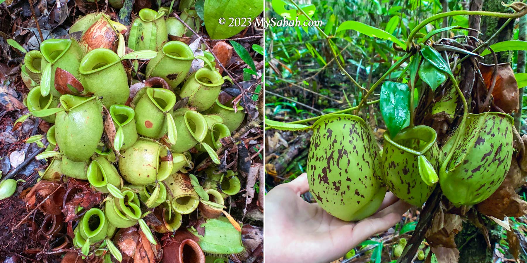
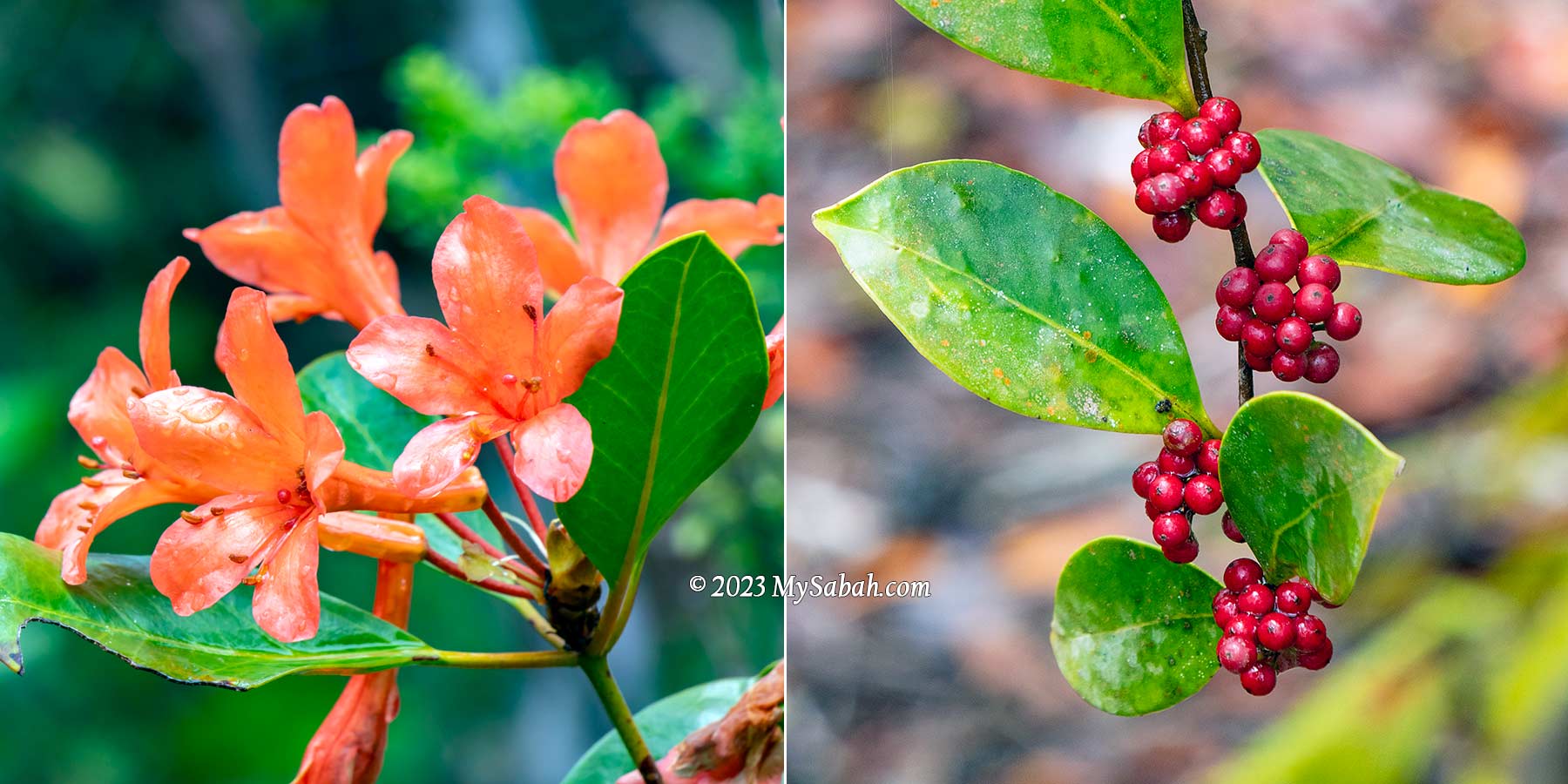
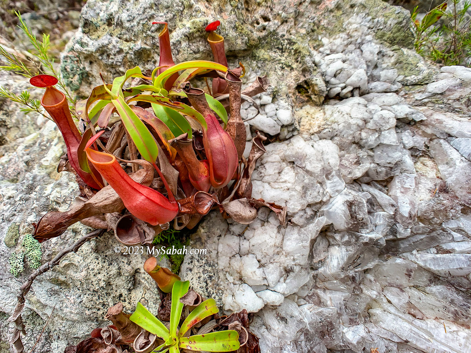
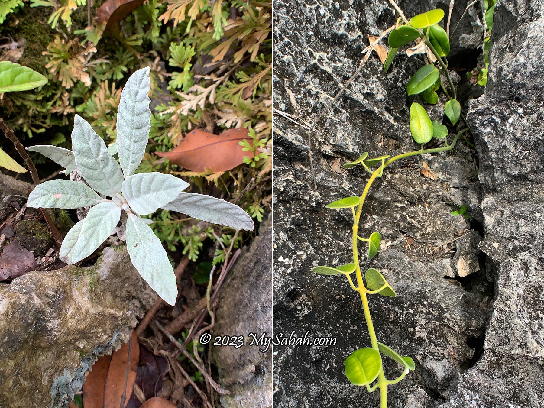
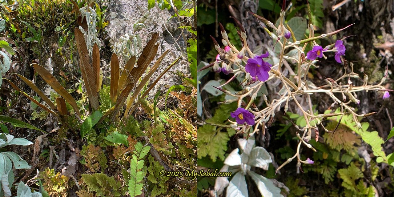
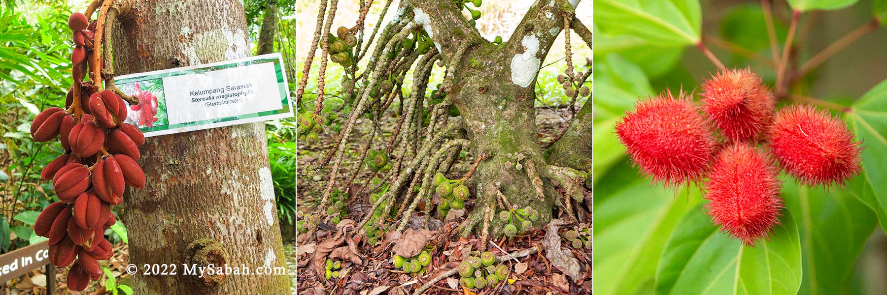
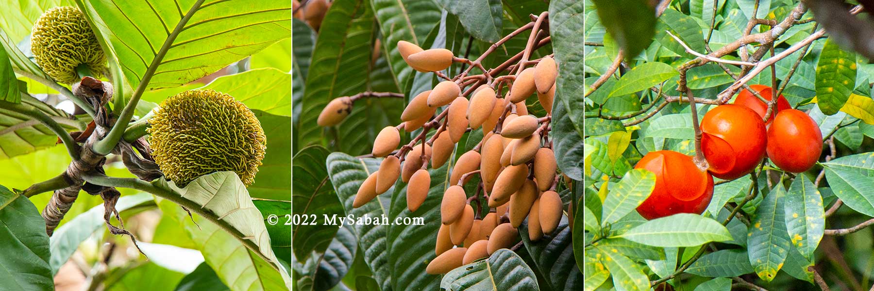
RDC also has a Plant Discovery Garden, which covers about 3 acres of land. This garden will make any botanist smile with its rich collection of hybrid orchids, arid land plants, aquatic plants, pitcher plants, economic crops and tropical American plants.
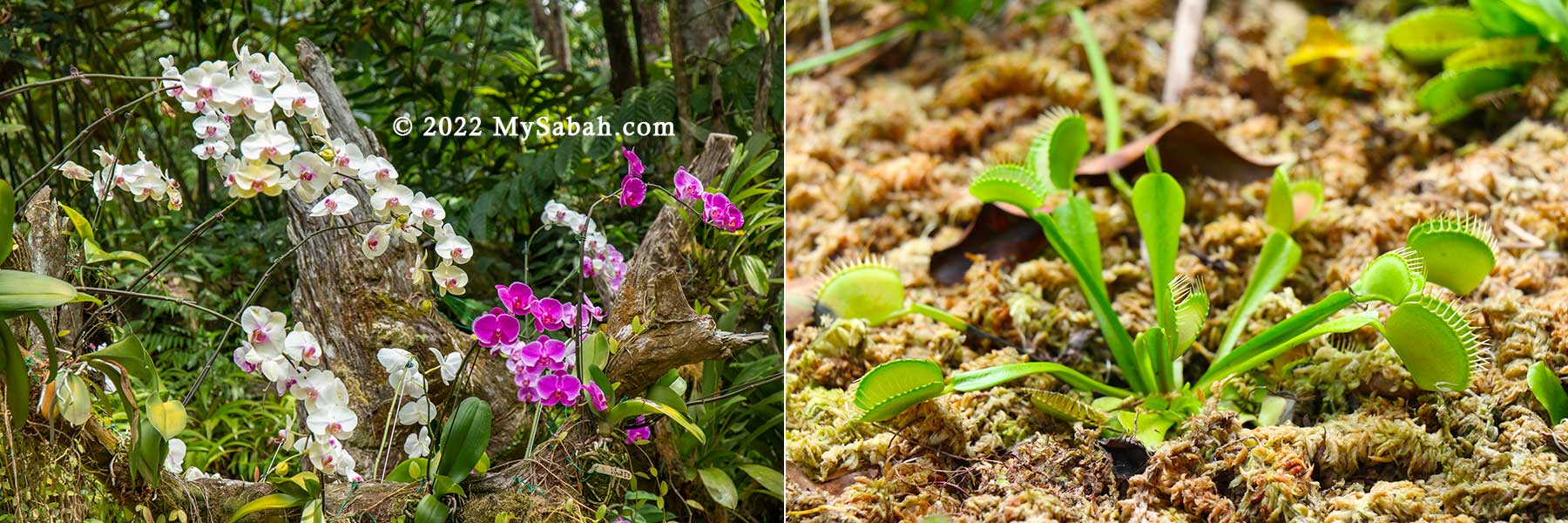
There are colourful outdoor interpretive panels with descriptions of all the plants, which are available in English and Bahasa Malaysia languages and makes learning not only easy but fun as well.
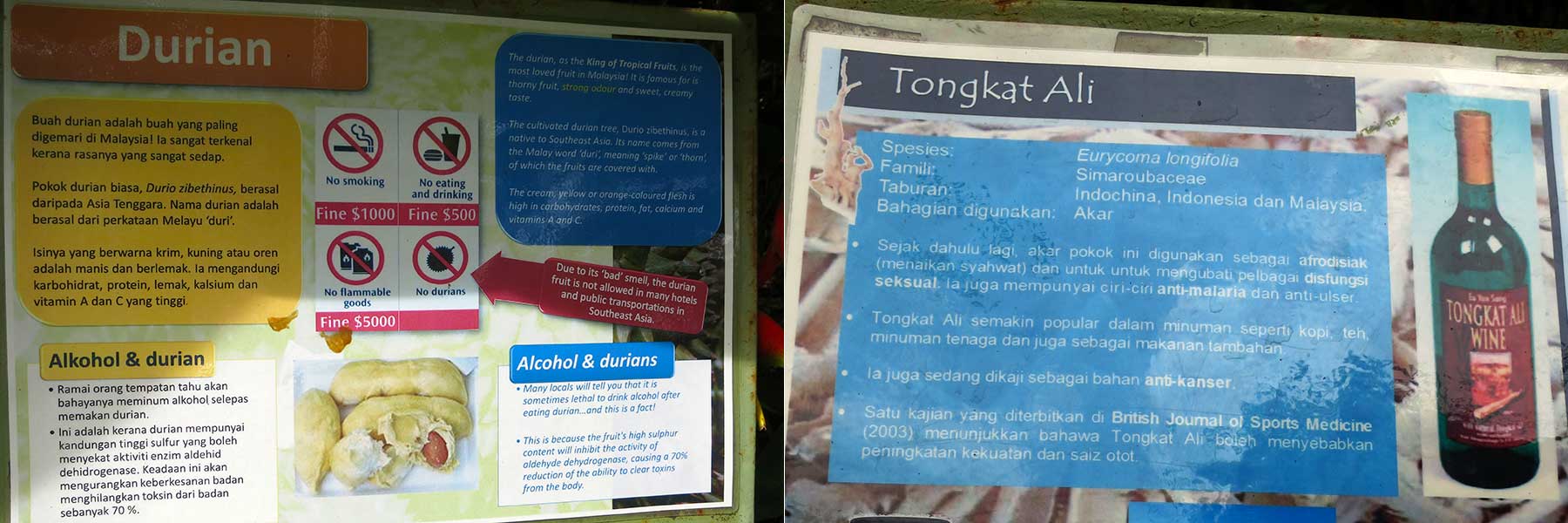
For serious learners, there are just too many local and exotic plants (flowers, herbs, spices, crops) to look at, just to name a few, peach palm, vanilla, tongkat ali, rubber, cassava, cinnamon, fig, and cycad (a living fossil and food of dinosaur).
Rainforest Skywalk (Canopy Walk)
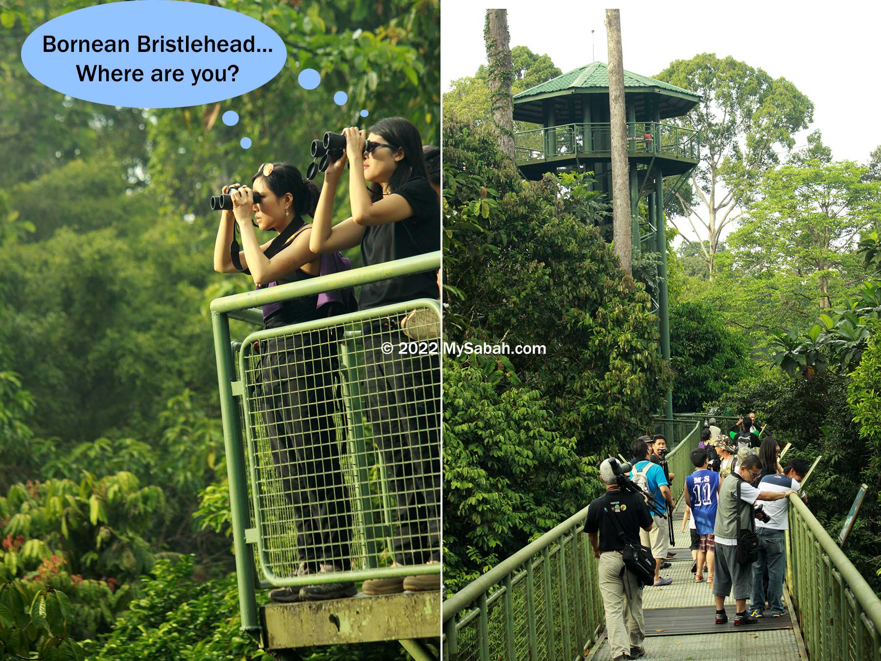
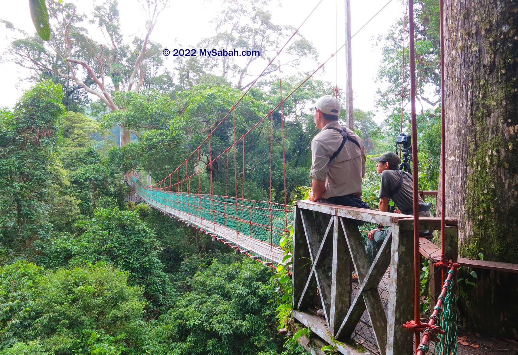
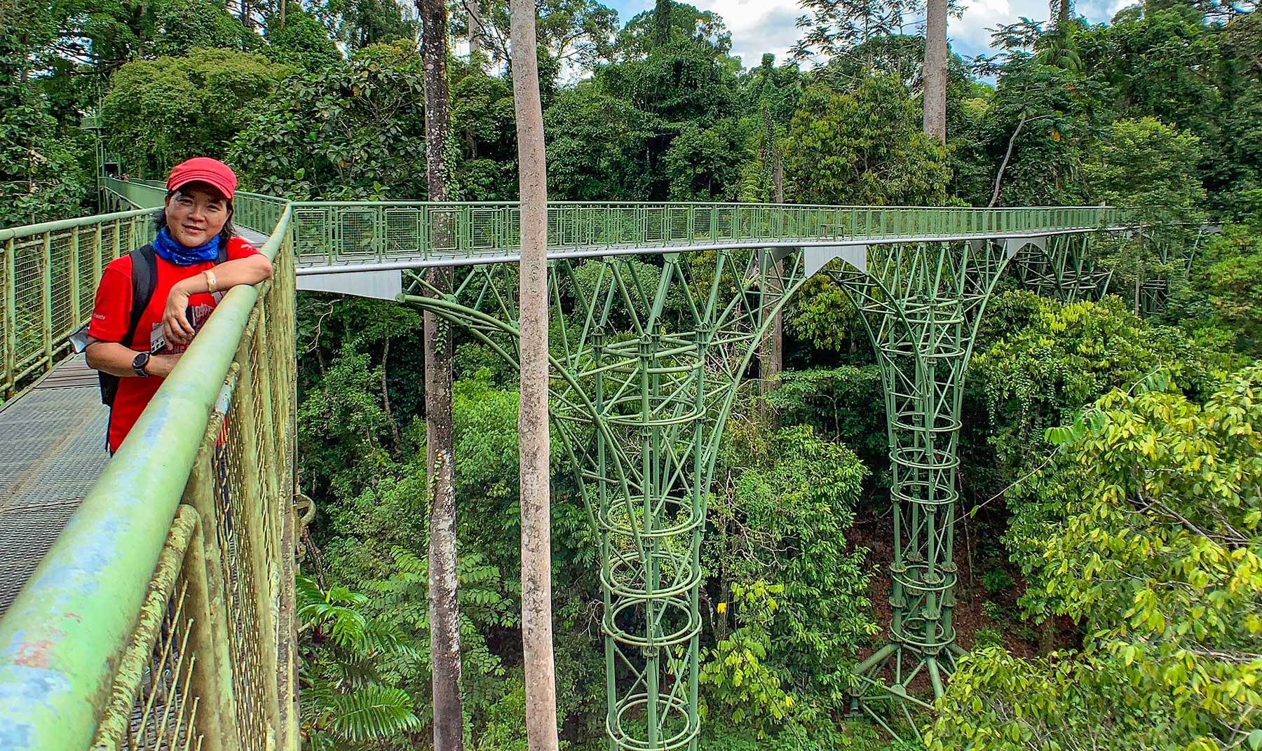
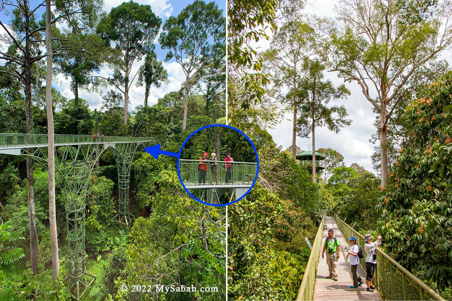
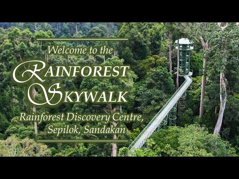
The main attraction of RDC is Rainforest Skywalk, the longest Canopy Walkway in Sabah. Visitors can climb to the top of the observation towers and take in the breathtaking view from the 620-Meter-long and 25-meter-high metal platforms and walkway.
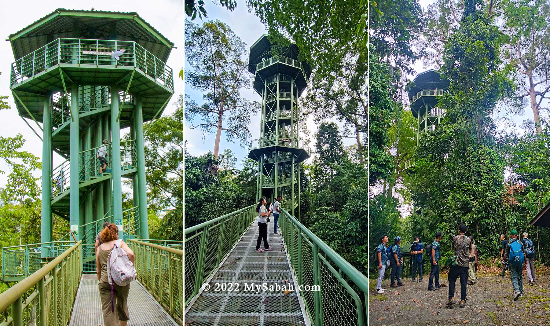
The walkway is two meters wide, is very sturdy and can hold the weight of a large crowd. RDC has three main towers that are named after the Bristlehead, Hornbill and Trogon and a single-column shelter called the Sunbird. With a height of 26.5 Metres (87 ft), Trogon Tower is the highest tower of RDC.
The designers of the canopy walkway made sure that it was not only safe for adults, but also for young children who are at kindergarten-level.
To the team at RDC, the younger children are exposed to the wonders of Mother Nature, the more they will appreciate our rainforest. During weekends, some local retired people also come here for birding regularly.
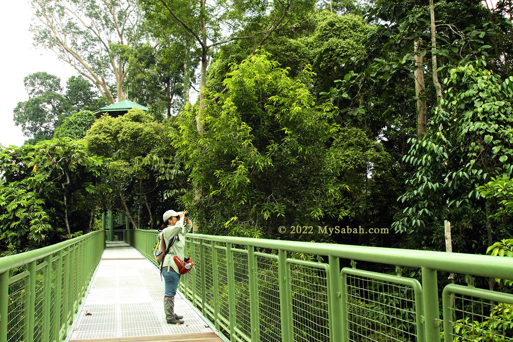
The highest platform of towers is about 26.5 Meters (87 feet) above the ground. Many birds, wildlife, fruits and insects live high on the tree, so these towers provide a great viewing point for bird watching and wildlife sighting. I’ve seen mother orangutan with her baby there before (see video).
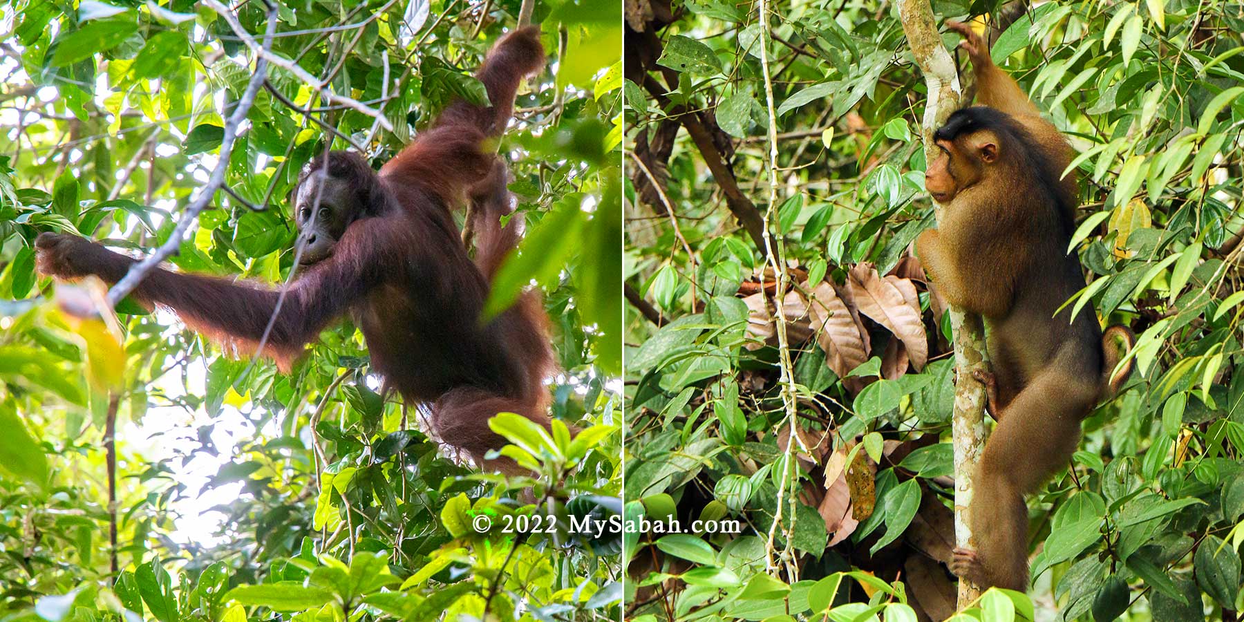
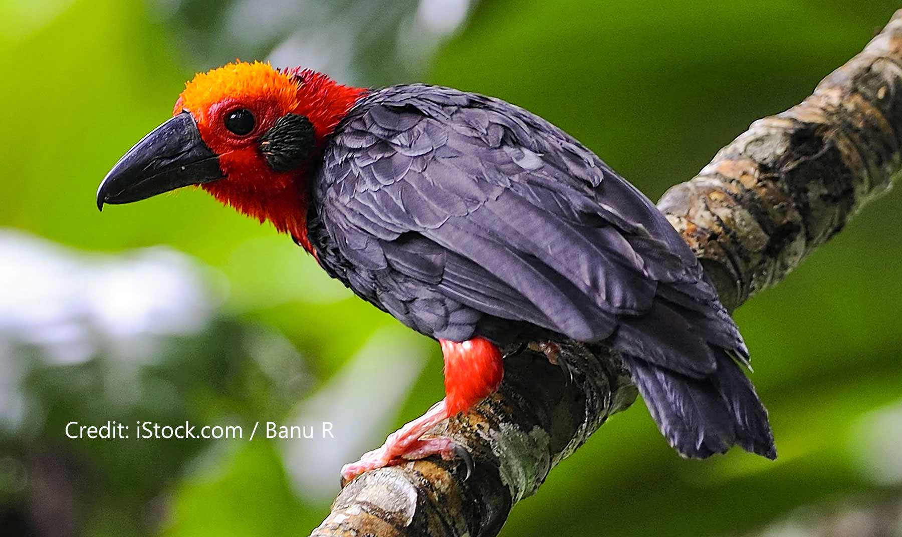
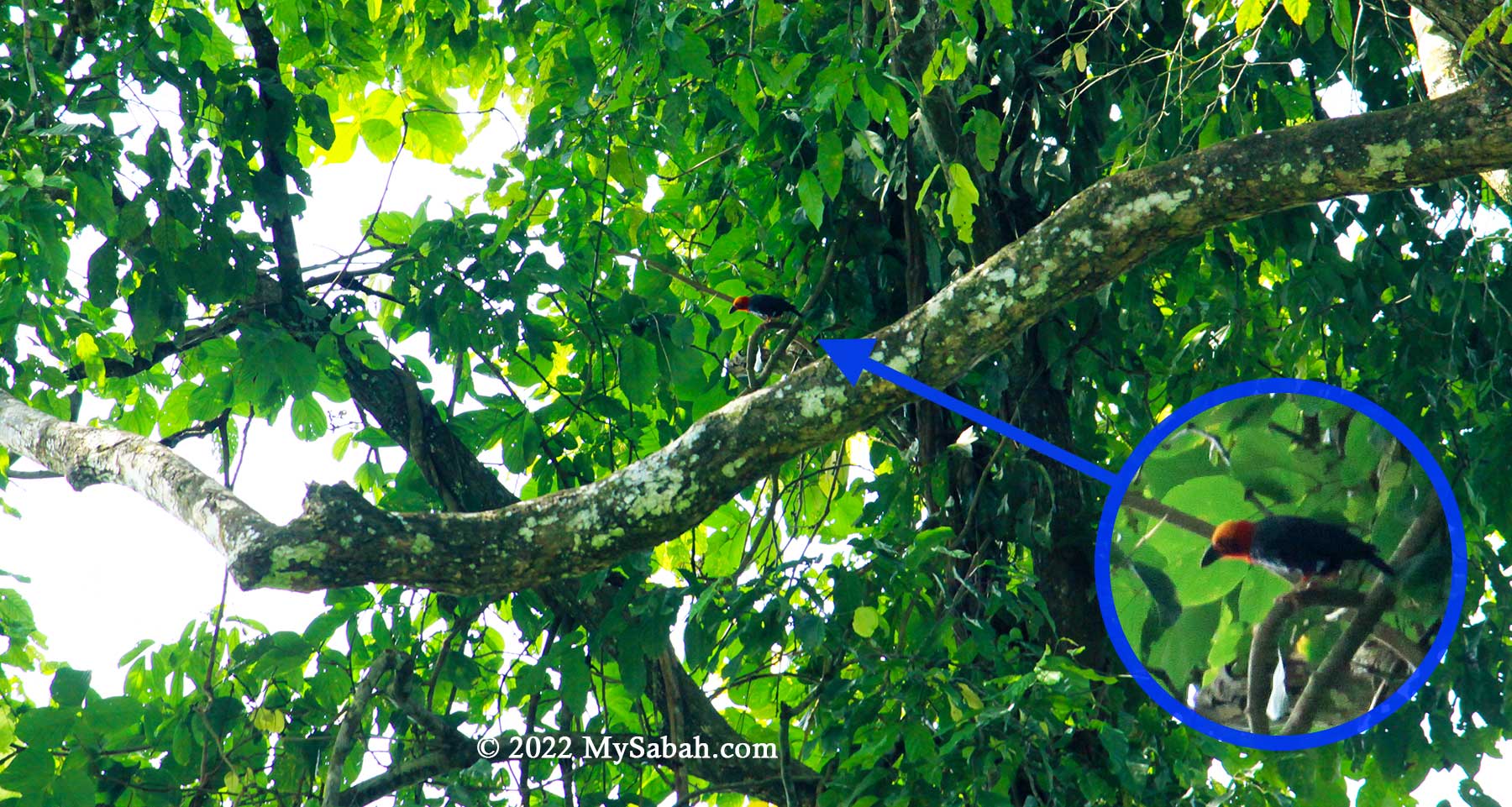
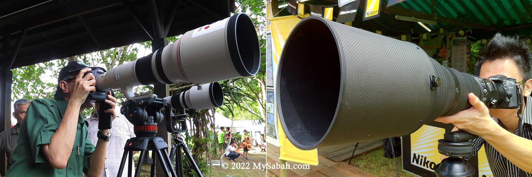
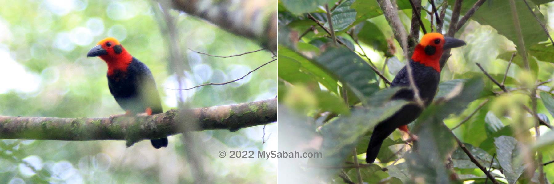
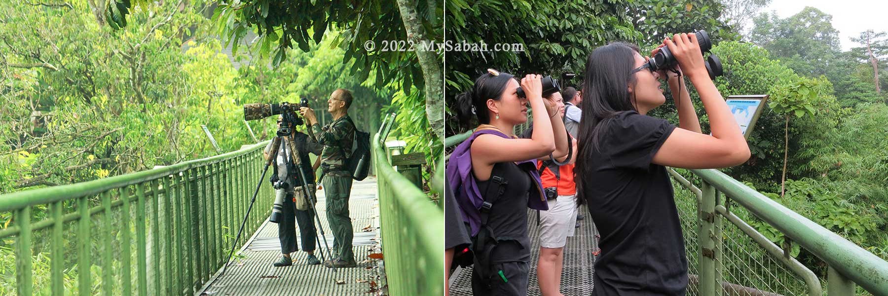
Bornean Bristlehead normally feeds up in the mid and upper layer of tree canopy, and best seen from Canopy Walkway. You have higher chance of seeing them near Bristlehead and Hornbill Towers in RDC. On the skywalk, you don’t need to look up so much that your neck cramps. I’m confident to say that RDC has one of the best setting for bird watching in the world.
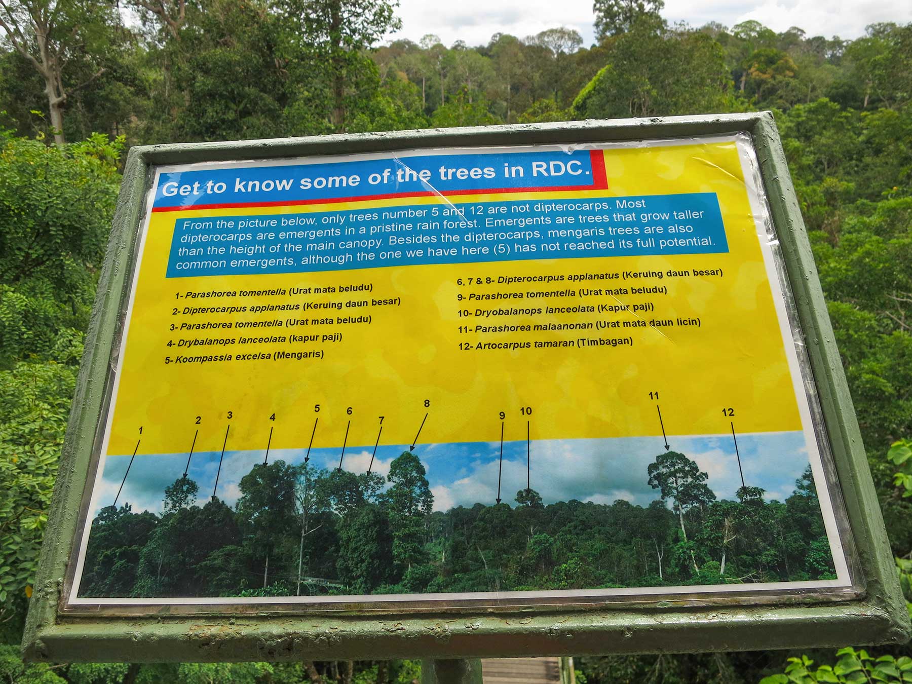
Many trees here are very old and over 50 Meters tall, most of these emergent trees are from the family Dipterocarpaceae, the main timber family of Sabah. During fruiting season, you will see many birds and wildlife coming here for feeding.
Bird Watching
Due to the tourist-friendly canopy walkway and nearby virgin rainforest where over 300 lowland bird species reside, RDC is really a haven for nature photographers and birdwatchers. RDC is also the most promising spot to see Bornean Bristlehead, the trophy bird species of birders, but you still need some luck. I saw it only once after three visits.
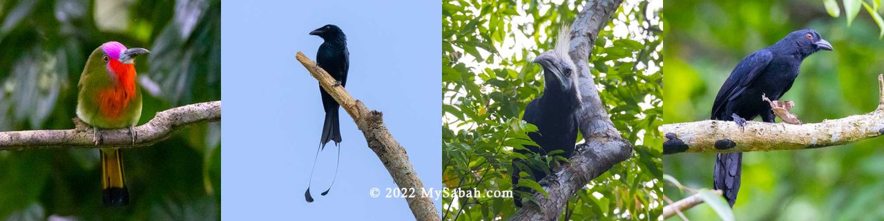
Many endemic (13 species are Borneo endemic), rare and colorful birds are active around RDC, for example, Bornean Bristlehead, Hornbills, Pittas, Kingfisher (8 species), Trogons, Malkohas, Leafbirds, Minivets, Spiderhunters (6 species), Crested Jay, Red-bearded Bee-eater, Broadbills, Woodpeckers, and Bulbuls. For full list, you may see this Checklist of Birds in Sepilok.
Therefore, for visitors who don’t want to travel far, RDC is the best alternative birding sites to Danum Valley and Tabin Wildlife Reserve, the world-class birding sites in Lahad Datu.
Some forest birds spend most of their time on canopy and best to be observed from RDC Canopy Walkway, while some prefers habitat in understorey and forest ground, so you need to explore the jungle trails for such birds. (Note: leeches might present during wet season)
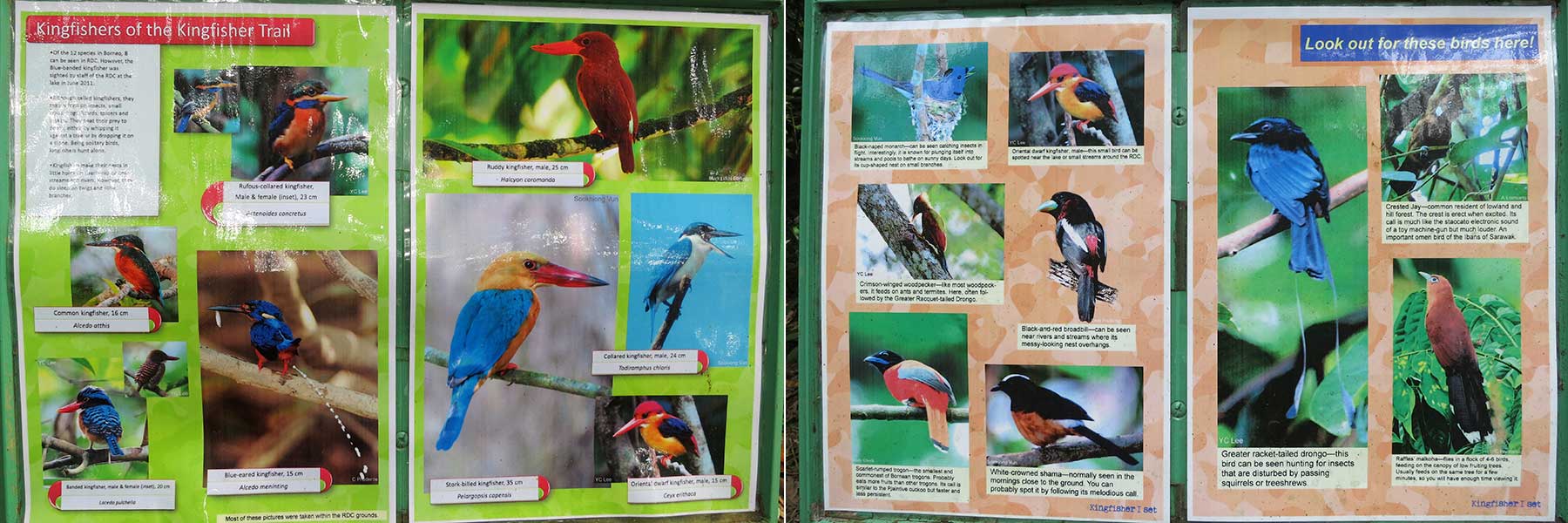
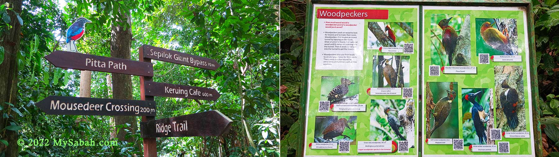
According to birding community, the 1.9-KM Kingfisher Trail is very productive (many birds). There are many direction signages in the RDC trail network, so you should have no problem to get around. What I really like is – RDC also places many information panels in different spots to inform you what birds, trees and wildlife are (probable) nearby.

Inside the forest there are small ponds used by many birds as natural bird bath for bathing and drinking. Most birds only dip their wings to splash water on their backs. Parts of the bath is just about 2 inches deep, just enough for small birds. Keep an eye for Red-eyed Bulbul, Emerald Dove and Hairy-backed Bulbul there. Garden birds such as sunbirds, spiderhunters and flowerpeckers are common visitors too.
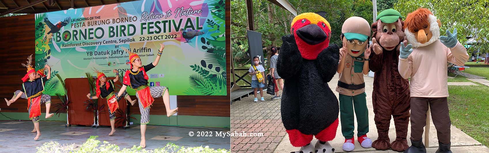
RDC is a preferred venue for Borneo Bird Festival, which is usually held in Sep or Oct annually, the best visiting time for bird watchers who are looking forward for exciting activities such as bird race, talks, bird photography contest, latest birding gears, and exhibition.
Exhibition Hall
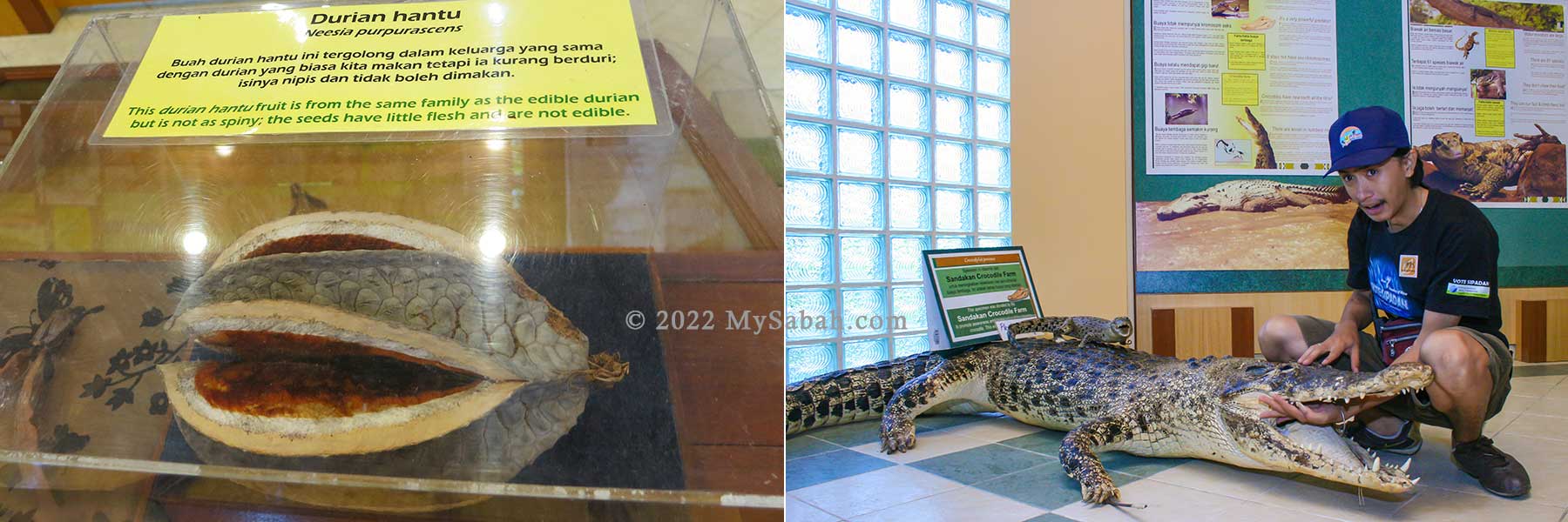
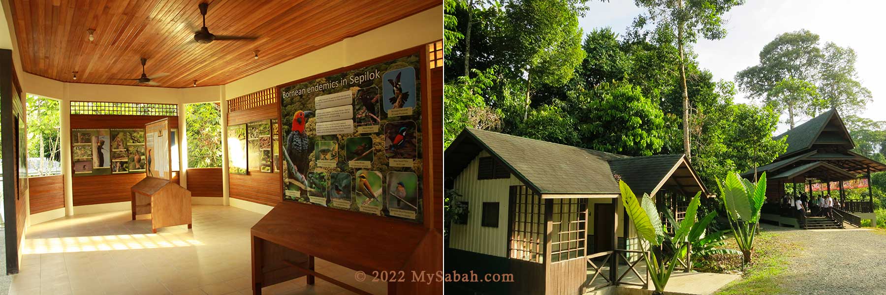
The main visitor building has an exhibition hall that features the unique flora found in Sabah, plus the various icons in our animal kingdom including the Bornean pygmy elephant, orangutan, proboscis monkey and many more.
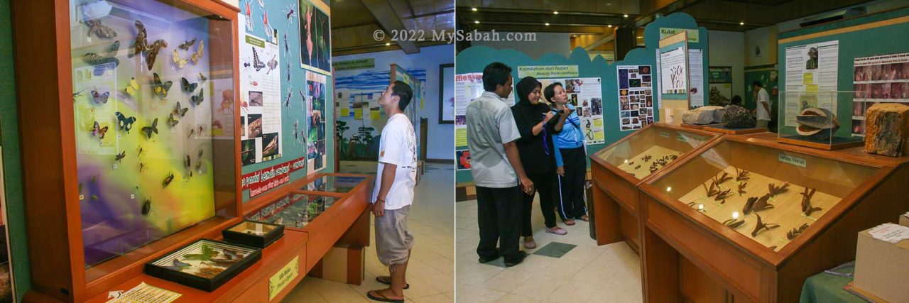
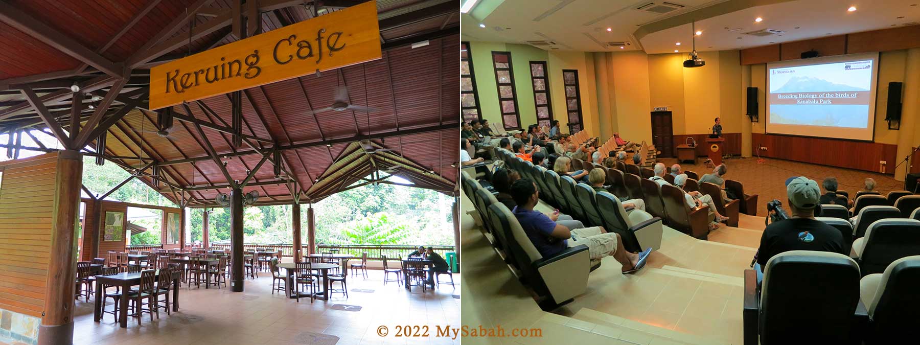
Visitors can also find information on reptiles and the main groups of birds. The building also has a multi purpose hall, which is often used for talks, screenings and other activities.
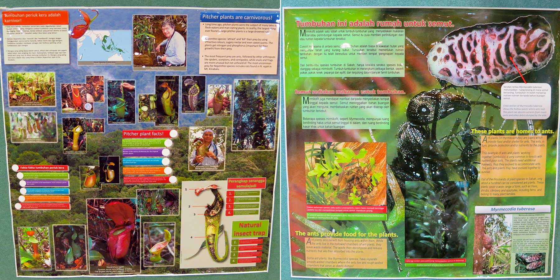
Besides animals, visitors can browse good collections of plant, fruit, tree and insect specimens in the hall. The information is presented in gallery style, with a lot of beautiful photographs with minimal text, available in English and Malay languages.
This Exhibition Hall is air-conditioned, so I love to come here after a long walk under hot sun outside LOL (and for the toilet too). I must say the Exhibition Hall does a very good job in giving visitors an interesting overview of Borneo’s nature.
Other Facilities
The infrastructure of RDC is quite well-thought, this makes RDC an excellent attraction, as well as a great location to organize mid-scale events. They also added a 180-Metre flying squirrel zipline at the lake area.
Entrance Fee
Rainforest Discovery Center (RDC) is open from 8am to 5pm every day (include Public Holidays), but the trails and canopy walkway close at 8pm, so some visitors can do night walk and evening birding. RDC is a park opens to public, any walk-in visitor can buy a ticket to enter (see ticket prices below).
| Malaysian | Foreigner | |
|---|---|---|
| Adult (18 & above) | RM7 | RM30 |
| 5-17 years old | RM3 | RM20 |
| Below 5 years old | FREE | FREE |
For more information, call +60 89-533780 / 533781, e-mail rdcsepilok@yahoo.com or visit RDC’s official website and Facebook.
All proceeds from ticket sales are used to organize environmental education programs for students, teacher training courses and other environment-related activities.
Night Walk
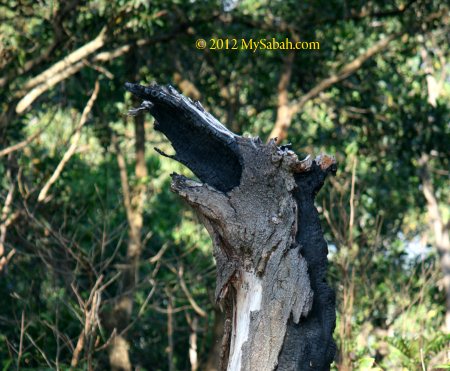
Most wildlife are nocturnal. You may not see a lot of wildlife during daytime in RDC, but a night walk there would probably give you some pleasant surprises. Depend on your luck, you would see civet, moonrat, Malay badger, sleeping birds, glow worm, owls, stick insect, firefly, frog, bearded pig, flying lemur, etc. You hit jackpot if you spot Bornean Tarsier or Slow Loris, the most mysterious primates of Sabah. Known as Ghost Monkey locally, Bornean Tarsier is the smallest primate of Borneo and has huge eyes bigger than its brain.
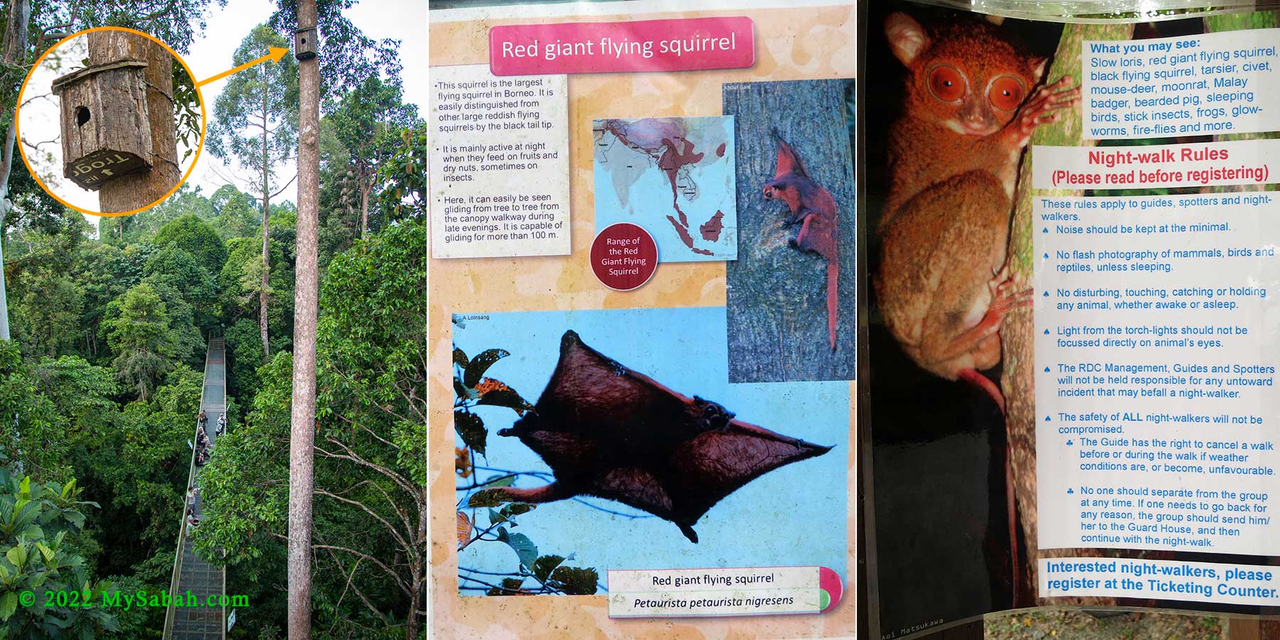
Night Walk is available (conducted between 6pm-8pm), you can register for the walk at ticketing counter (before they close at 5pm). The fee is RM50 per adult and RM25 per child (5-16 years old) for a minimum of 2 hours, RM20/person for each additional hour.

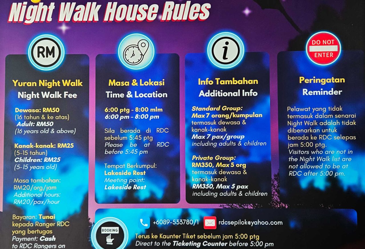
You can book a private group (max 5 people) for RM350. Do bring torch-light (flashlight) and raincoat with you. You can take photos but no camera flash is allowed for small animals.
How to get there
The Rainforest Discovery Center is located at Sepilok, Sandakan, Sabah, about 25 KM to the west of Sandakan City (see Location Map). Public transport to Sepilok is available readily and the journey takes about 45 to 50 minutes one way. You can hire a taxi for a return trip for about RM100 per car (≈USD$28)(negotiable).
RDC Shuttle Service (within Sepilok Only)
I strongly recommend you to visit Sepilok Orangutan Rehabilitation Center and Bornean Sun Bear Conservation Center, which are only 2 KM away from RDC.
RDC Shuttle Service (within Sepilok only) is available only when licensed taxi not around and depend on staff availability. It’s no guarantee but good to know this option anyway. The standard rate is RM10 (≈USD$2.50) per car. You can request for transport in following time:
9am-5pm: enquire for taxi or shuttle service at ticketing counter
5pm-8pm: enquire shuttle service at security hut
Photos taken in Sandakan, Sabah, Malaysia Borneo