I love waterfall and I couldn’t wait to see the 95-Meter tall Tawai Waterfall, the biggest waterfall in the Heart of Sabah, after my friend told me about it. Tawai Waterfall is located inside the 22,697-ha Tawai Forest Reserve, a 1st-class protected forest managed by Telupid Forestry Department. You must apply a permit from Sabah Forestry Department HQ before entering this protected area.
To reach this destination, first I needed to drive 200 KM from Kota Kinabalu city to Telupid town, which took me about 4 hours driving on a paved road. There is no gasoline station after Ranau, so make sure you fill up your oil tank. To go to Tawai Waterfall from Telupid, you need 4-wheel drive, as it is only accessible via gravel and muddy road.
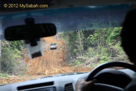
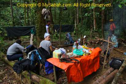
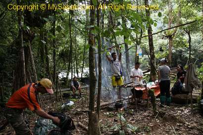
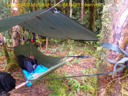
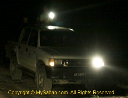
Luckily it was weekday and the forestry officers also planned to collect seedling and patrol in Tawai forest, so I just followed their vehicle. Otherwise I had to pay nearly RM1,000 to charter a 4WD and guide. The journey is nearly 3 hours one way and part of the road is steep and muddy. We departed in the morning so we could get back before dark.

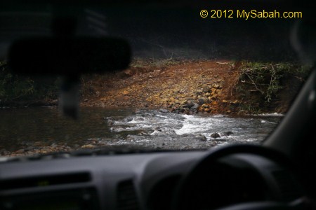
Our 4WD crossed 3 rivers easily, as they are not deep during dry season. According to the forestry staffs, the old route to Tawai Waterfall took less than an hour, but a bridge was collapsed and they waited for the fund to repair it. Therefore, we had to take the alternative longer route, like a big U-turn, to enter the place from behind.
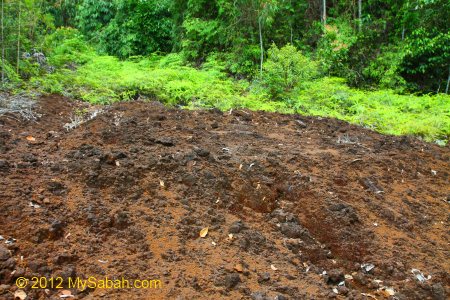
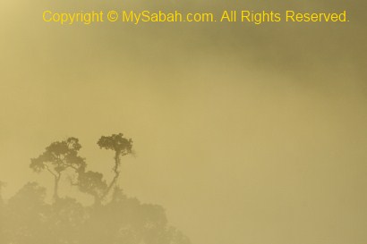
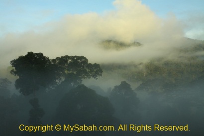
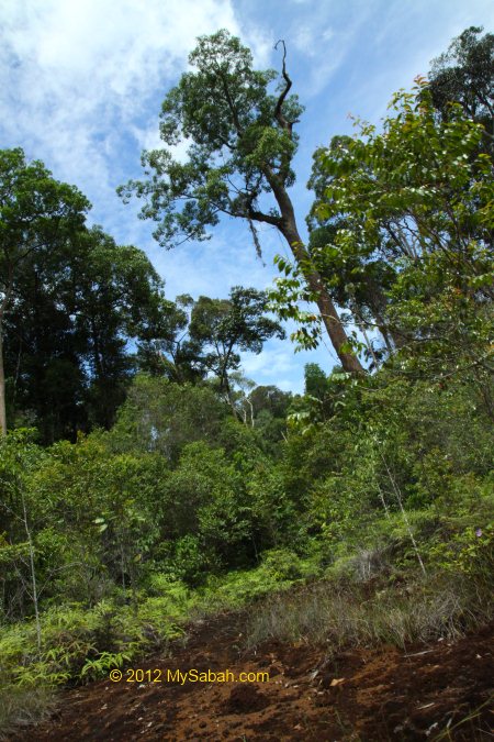
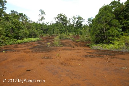
I had travelled to almost every corner of Sabah, so nothing in Sabah is really new to me. However, during this long ride, I found that I was in a totally strange environment. The vegetation is so different and the “rusty” soil is reddish in color, so I joked to others, “Are we on Mars planet now?”

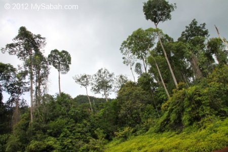
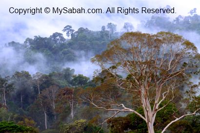
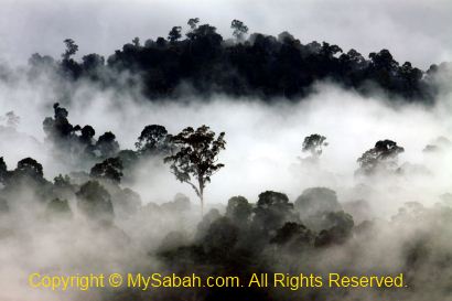
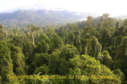
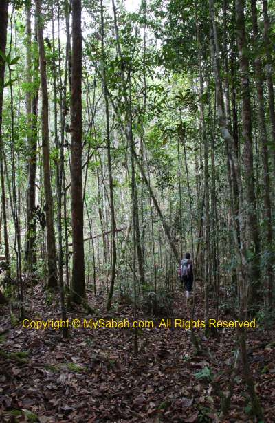
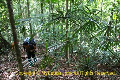
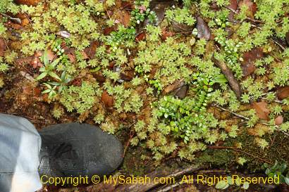
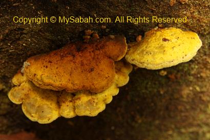
The forest is blanketed by ferns and dominated by shrubs shorter than 10 Meters, with low number of tall trees scattered around. They told me these are the characteristics of Ultramafic Forest. More on this topic later.
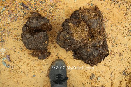
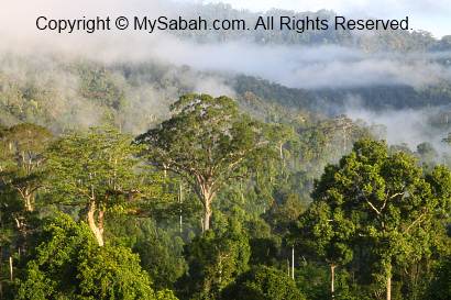
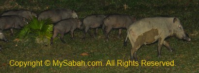
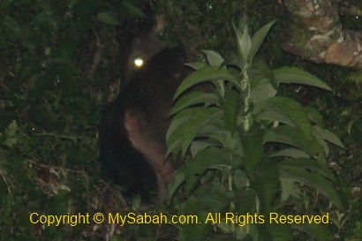
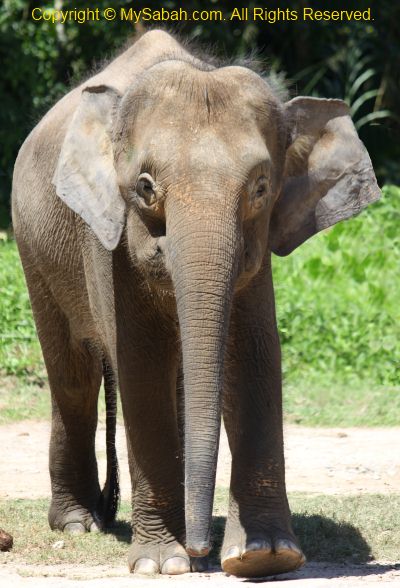
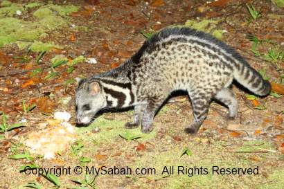
The new and long route passed through other forest reserves such as Deramakot, Tangkulap and Pinangah. Tawai forest is somewhat connected to Kinabatangan, the wildlife sanctuary in Sandakan, so we saw many fresh elephant dropping along our way. I saw a big wild boar and another car spotted a king cobra. The ranger says orangutan also exists in Tawai, I’m so happy to know that.
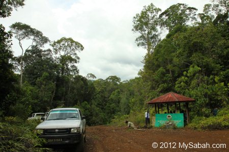
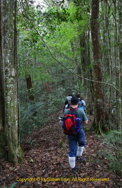
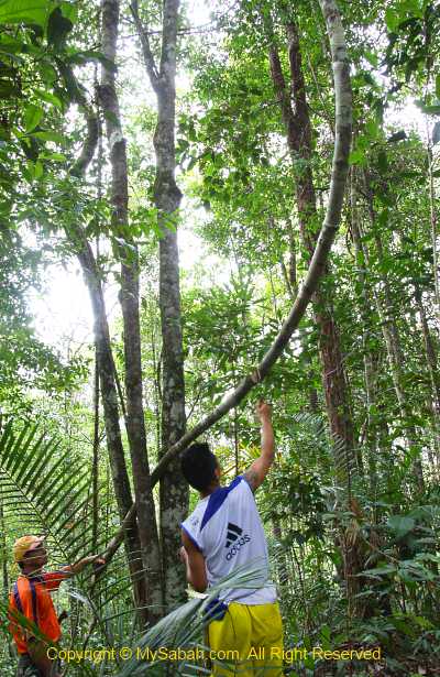
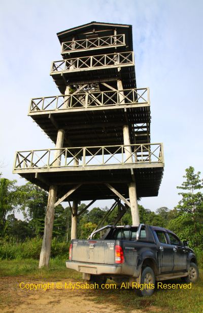
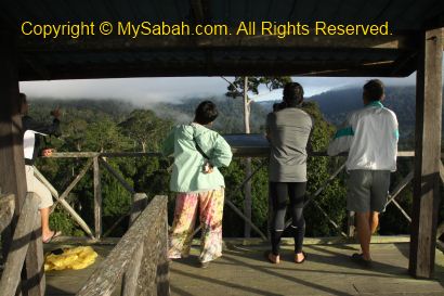
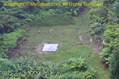
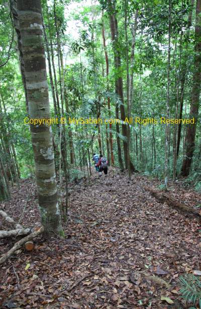
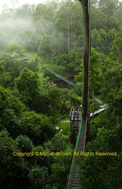
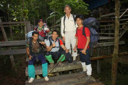
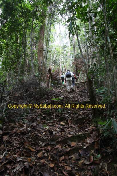
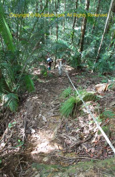
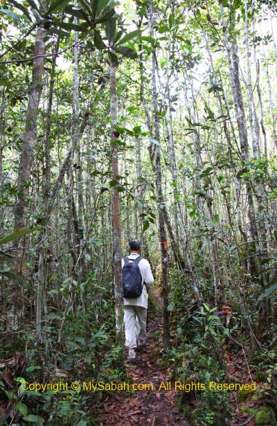
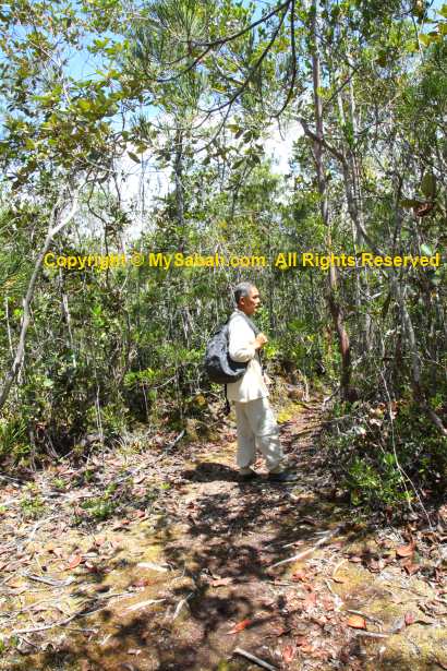
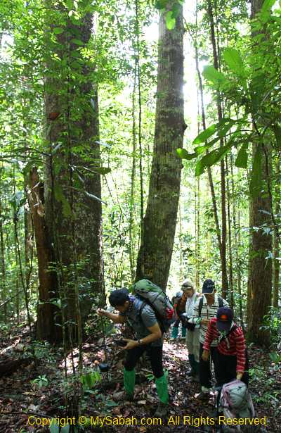
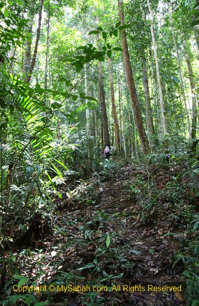
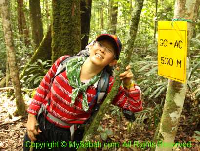
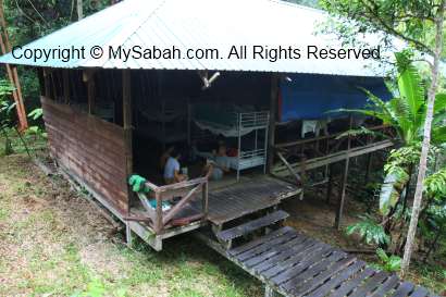
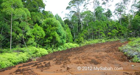
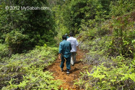
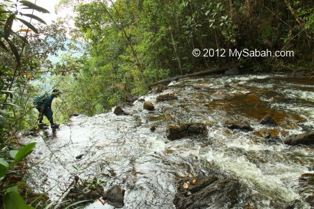
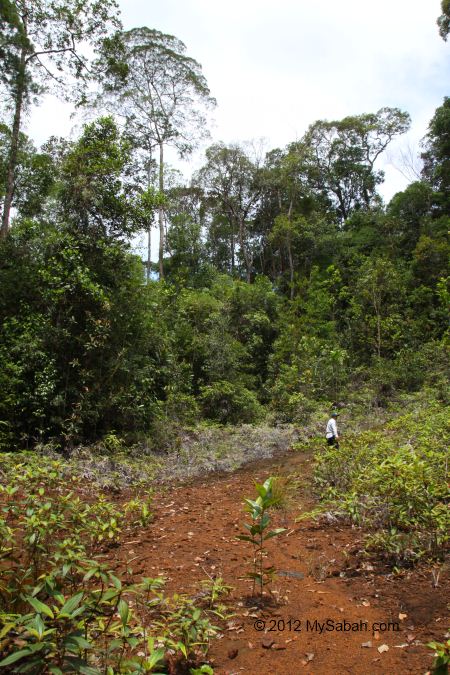
Pic: starting point of the walk to Tawai Waterfall.
Finally we reached the starting point of the walk before noon. We parked our cars there and walked to the waterfall. I could hear that it is very near and hidden behind the dense wood.
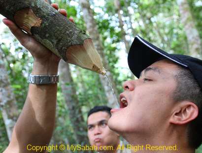
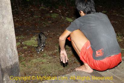
Once I stepped out of my car, my eyes and camera were getting very busy, because I was dearly amazed by what I saw.

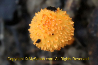
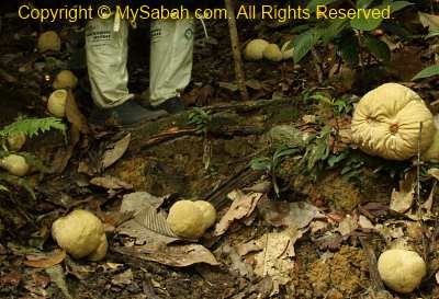
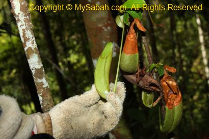
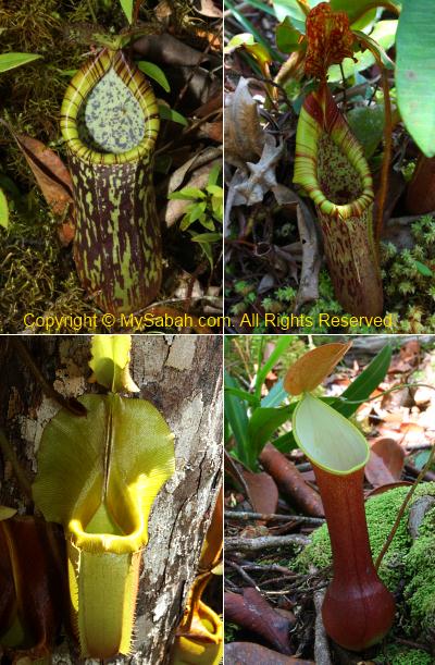
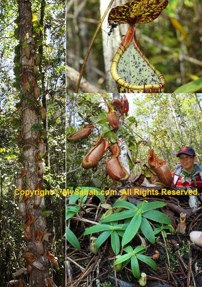
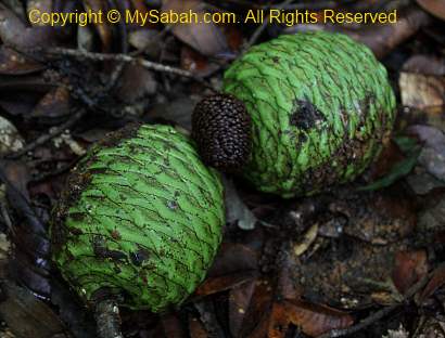
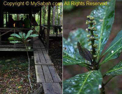
Pitcher Plant Garden
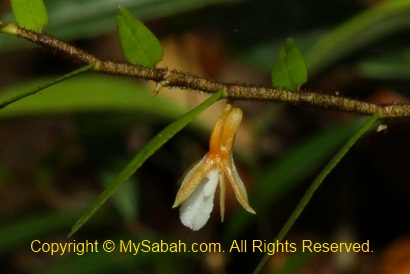
There are pitcher plant (Nepenthes) everywhere! They grow among the dense fern plant, on the ground and shrubs.
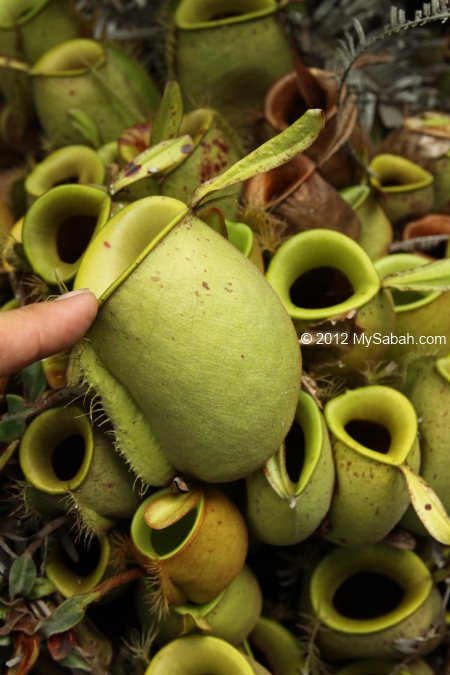
Every step I took, I saw a new pitcher plant, so I kept stopping and taking photos while the rest had to wait for me. That’s so crazy.

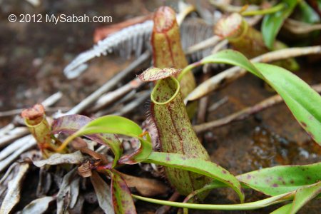
Tawai also has very high density of nepenthes like the heath forest (Kerangas) of Maliau Basin, but both sites have different variety.
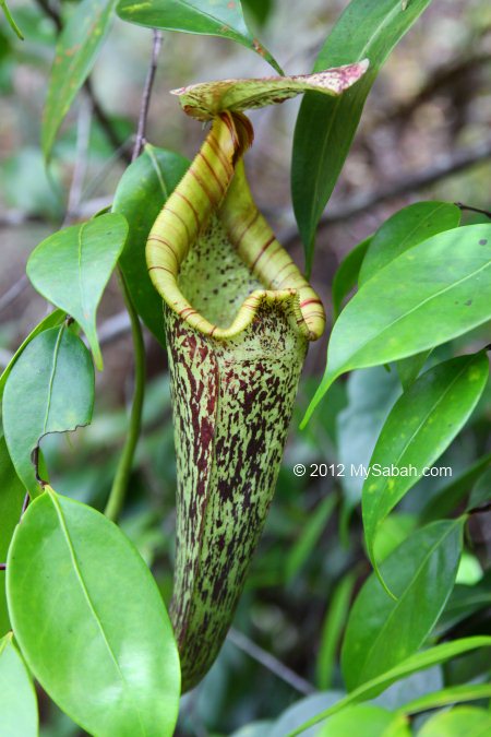
In a few minutes, I saw Nepenthes rafflesiana, Nepenthes ampullaria, Nepenthes gracilis, and other probable hybrids. Next time I want to camp here to see more!
Hello… Tawai Waterfall!
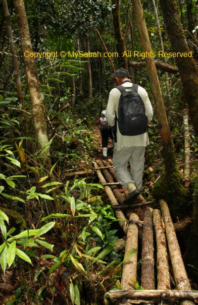
Though I was so obsessed with the pitcher plant, I had to catch up with the rest to Tawai Waterfall.
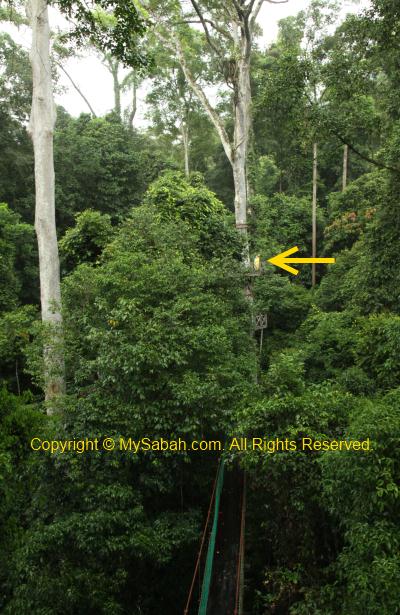
At first, we went to see the top of Tawai Waterfall.
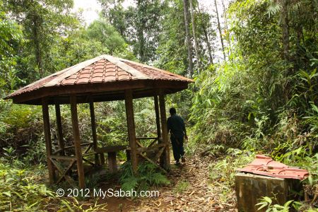
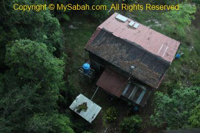
The walk to the top of Tawai Waterfall is only 5 minutes away. There is a shelter near the waterfall.
There is another smaller waterfall (Meliau Waterfall) about 1-hour trekking from here, but we were short of time (and energy) to explore it. Actually Forestry department calls Tawai as Waterfall A and Meliau as Waterfall B.
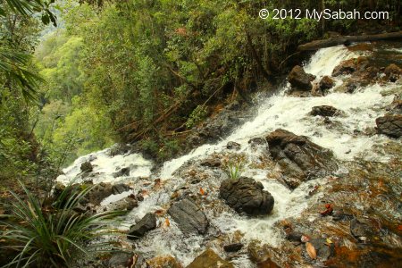
What I saw was just a river flew to a cliff. From this location, you can’t see the end and tell that it’s a huge waterfall ahead. The edge is so steep and dangerous to explore.
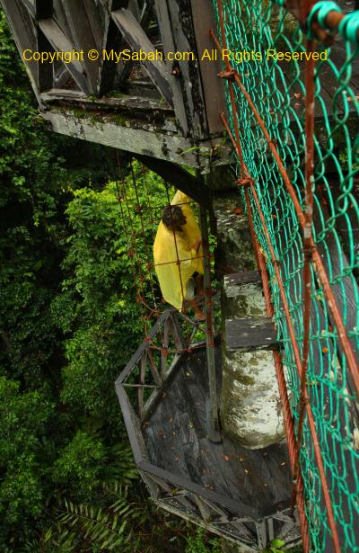
After the “sneak peek”, we took another 300-Meter trail that descends 70 Meters to a viewing point where we could see the whole waterfall.

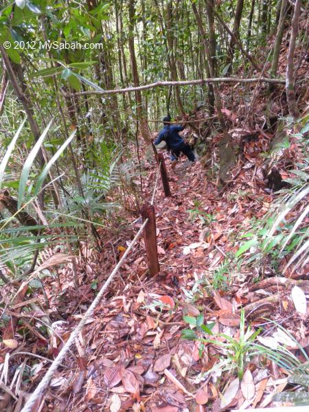
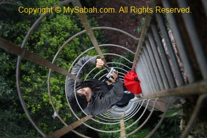
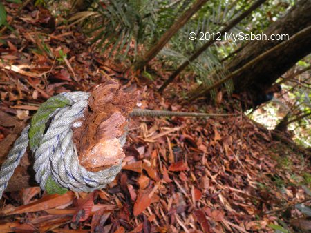
The climb only takes 20 minutes, but the trail is very steep with uneven surface. I can’t make it without the rope support. The rangers warned me that the rope is nearly 10 years old and it might snap. We just proceeded slowly and cautiously. Luckily the rope is still very strong.

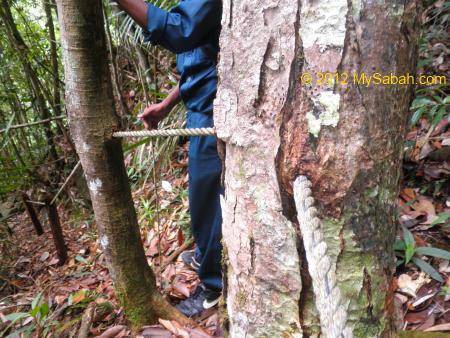
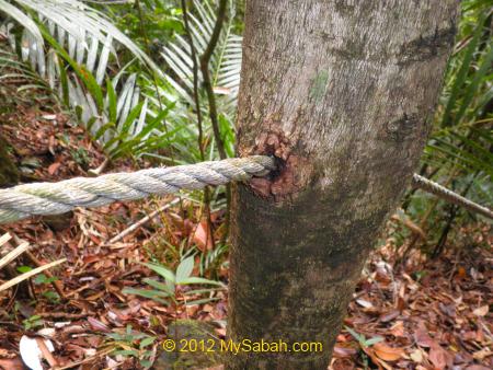
The rope is so old that, over time it slowly embedded into the tree that it lean against, as if someone drills a hole on the tree to install the rope railing. Once the budget is available, they want to build proper facilities such as stairway and toilet for visitors. For now, it is not ready for normal tourists.
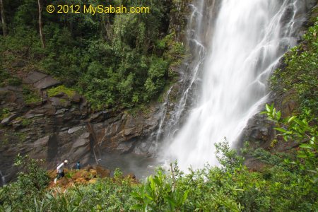
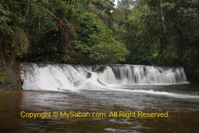
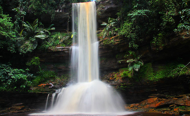
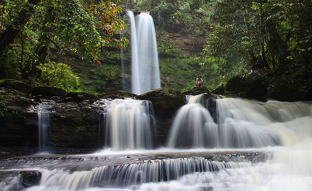
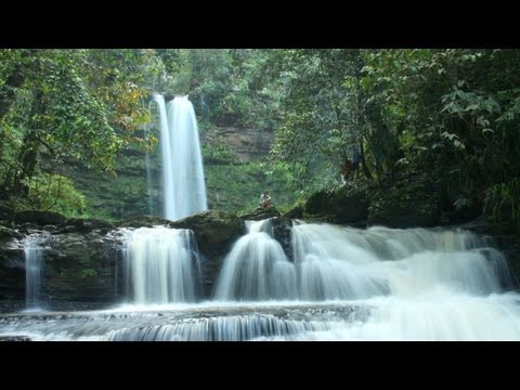
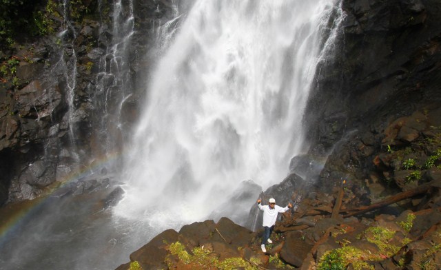
Tawai Waterfall in the view. See how small the people are?
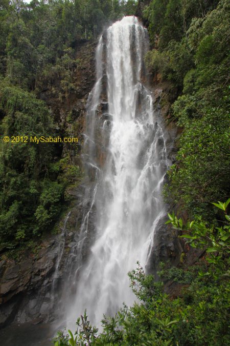
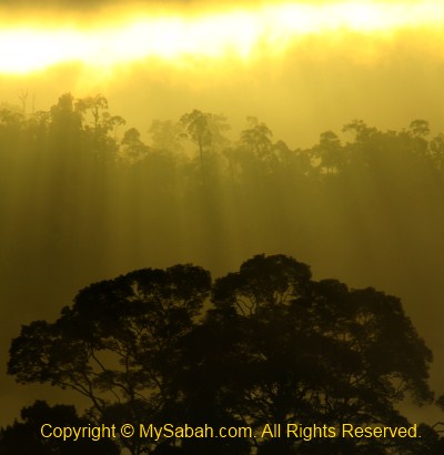
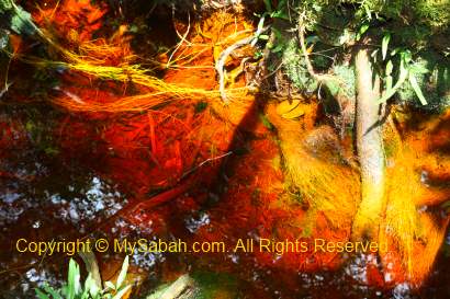
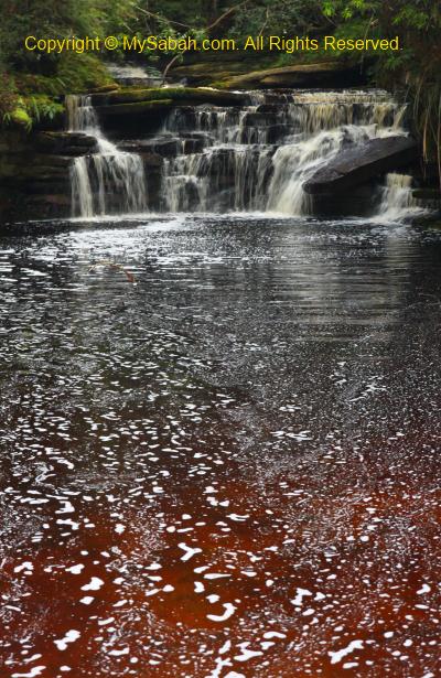
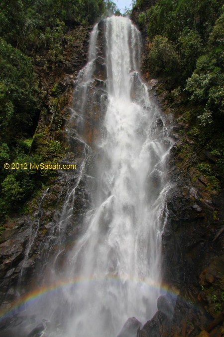
So here is the moment, the gigantic Tawai Waterfall right in front of my eyes!
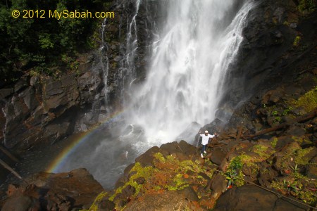
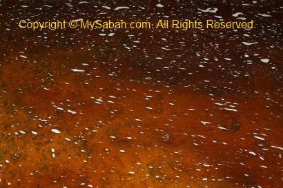
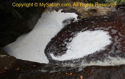
The splash is so strong that it creates a rainbow.
Tons of unpolluted water flowing through pristine forest, what a view! You can watch the 1-min video below to get a feel of it:

Click Here to watch wider video
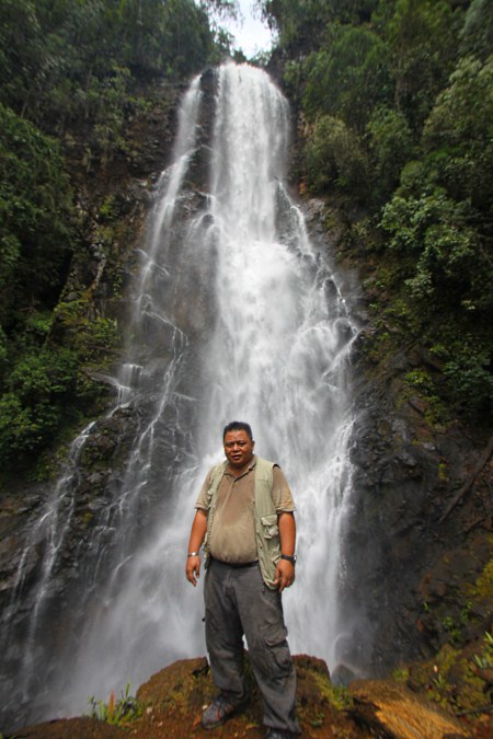
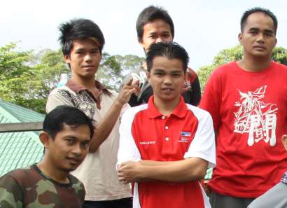
Pic: Mr. Ismailey, the Telupid District Forestry Officer, with the Tawai Waterfall.
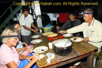
Mr. Ismailey is a nice and adventurous gentleman. He has a vision to turn Tawai into a new nature attraction. Thank you for sharing the beauty of Tawai with me. I also want to thank other Sabah forestry staffs, Bonaventure, Matthew, Micheal, James, Awang and Mohammad for their hospitality. Thank you Datuk Sam (Director of Sabah Forestry Department) for the permit.
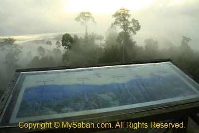
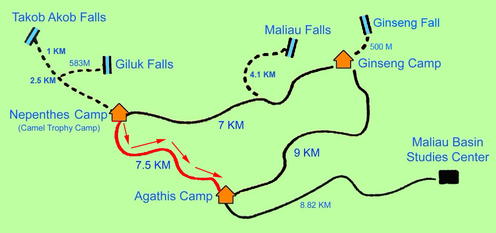
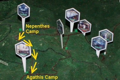
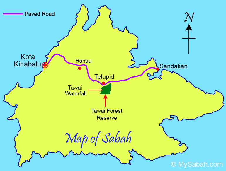
Below is the location map of Tawai Waterfall:
View My Sabah Map in a larger map

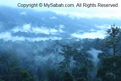
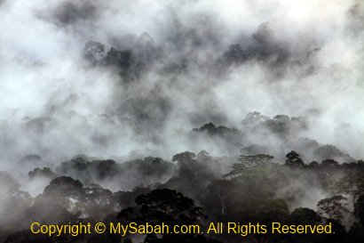
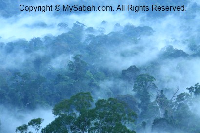
Ultramafic Forest
Ok, now come back to Ultramafic Forest. After the visit, I think the ultramafic forest is more significant than the waterfall. We can find bigger waterfalls all over the world, but our ultramafic forest is more unique and one of the least studied terrestrial ecosystems in Borneo.
Ultramafic rocks are formed at very high temperatures and pressures in the absence of water, during the process of upwelling of magma and the cooling of the oceanic crust. The soils of ultramafic zone contain magnesium, chromium, cobalt and nickel, which are toxic to most plant and infertile for agricultural purposes. That explains why pitcher plant, which grows well on soils poor of nutrients such as phosphorus, potassium and calcium, flourishes here.

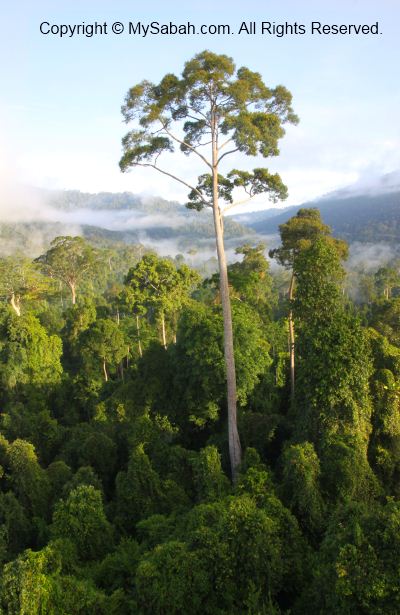
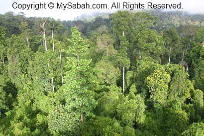
The ultramafic forest occupies about 3,500 Sq. KM, or 4.6 % of the total land area of Sabah. As a result of the soil conditions, the trees in ultramafic forest are relatively shorter than rainforest. The lack of tall timbers allows this forest gets away from logging, and over 60% of the Tawai Forest Reserve in Telupid is still in pristine condition.
Only certain plant species adapt to such soil. 11 unique plants that are endemic to the ultramafic areas are found in Tawai Forest Reserve, and five are recorded only from Tawai and nowhere else in the world.
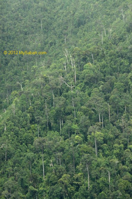
The ultramafic forest of Tawai can be sub-divided to Lowland Ultramafic Forest (23%), Upland Ultramafic Forest (49%), Lower Montane Ultramafic Forest (5%) and Ultramafic Heath Forest. This may sound meaningless to you, but it is an exciting playground for naturalists and researchers who love to see unique vegetation of Borneo.
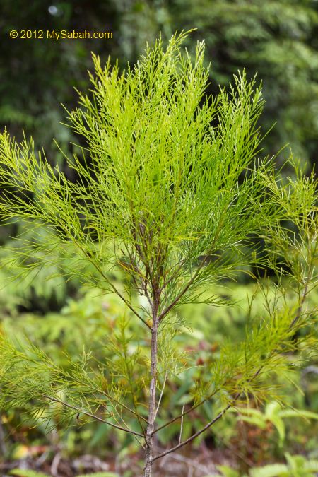
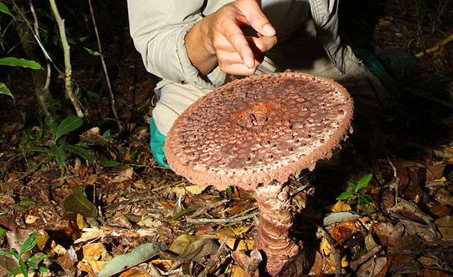
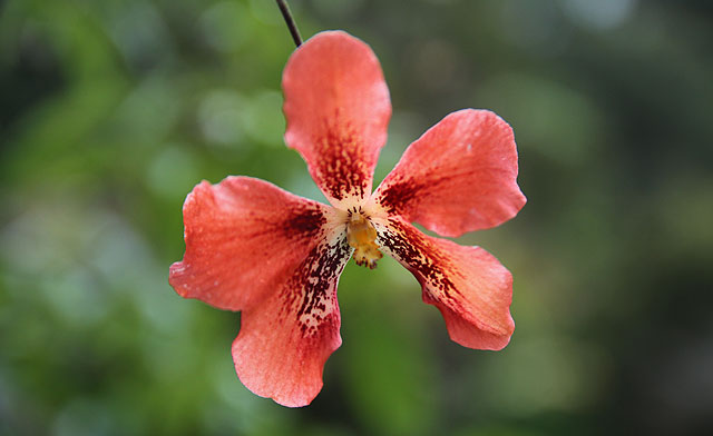
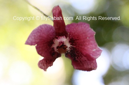
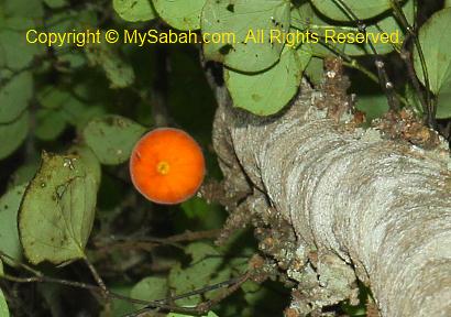
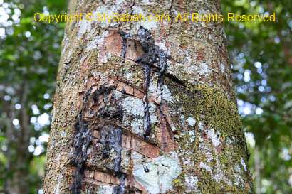
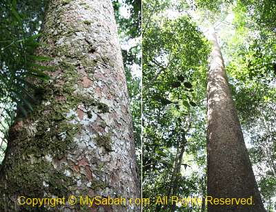
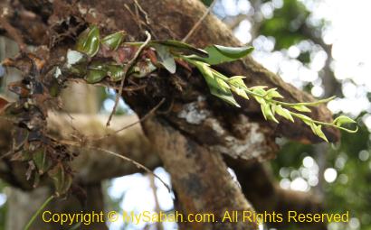
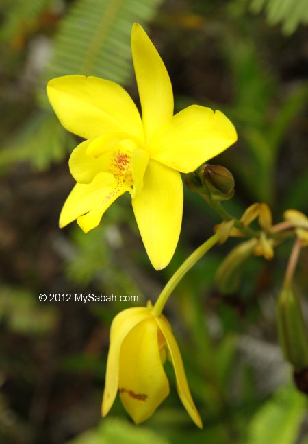
Pic: Sembilu, is endemic to Borneo and abundant in Tawai.
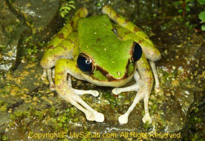
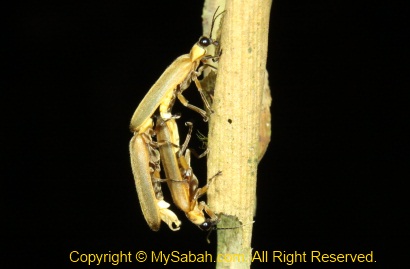
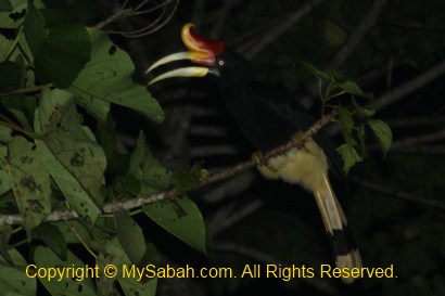
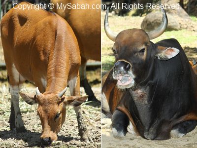
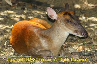
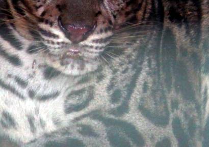
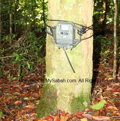
Besides the special forest, more than 100 bird species are found in Tawai and bird watchers have started exploring this area and hope to rediscover birds not documented in Sabah. 26 mammals such as wild boars, barking deer (payau), mouse deer, Red leaf monkeys, clouded leopards and gibbons live in Tawai.
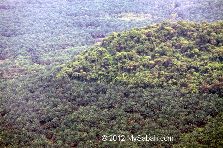
I’m glad that Sabah Forestry Department has gazetted Tawai Forest Reserve as protected forest. Otherwise it would have been engulfed by oil palm plantation.
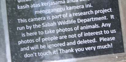
To visit Tawai Forest Reserve, you need to get a permit from Sabah Forestry Department. The tourist infrastructure there is not ready and they are limiting access to this forest, to avoid any damage caused by recreational activities. In other words, no guarantee they will grant you the entry.
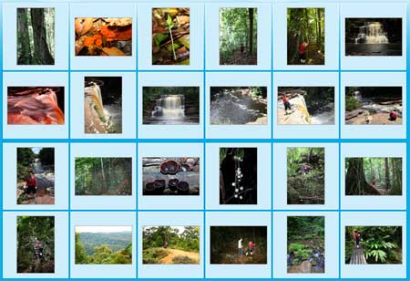
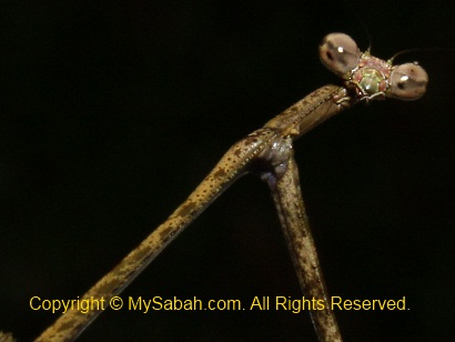
More Photos
You may check out my photo album if you want to see more nice pictures:

Photos taken in Telupid, Sabah, Malaysia Borneo