 by
by Does Noah’s ark really exist? I don’t know, but I was told that near Tamparuli town, there are rocks that resemble a vessel stranded on a hill named Bukit Perahu (also known as Ruhiang Hill). I guess that’s how Bukit Perahu got its name, as Perahu means Boat and Bukit means Hill in Malay language.
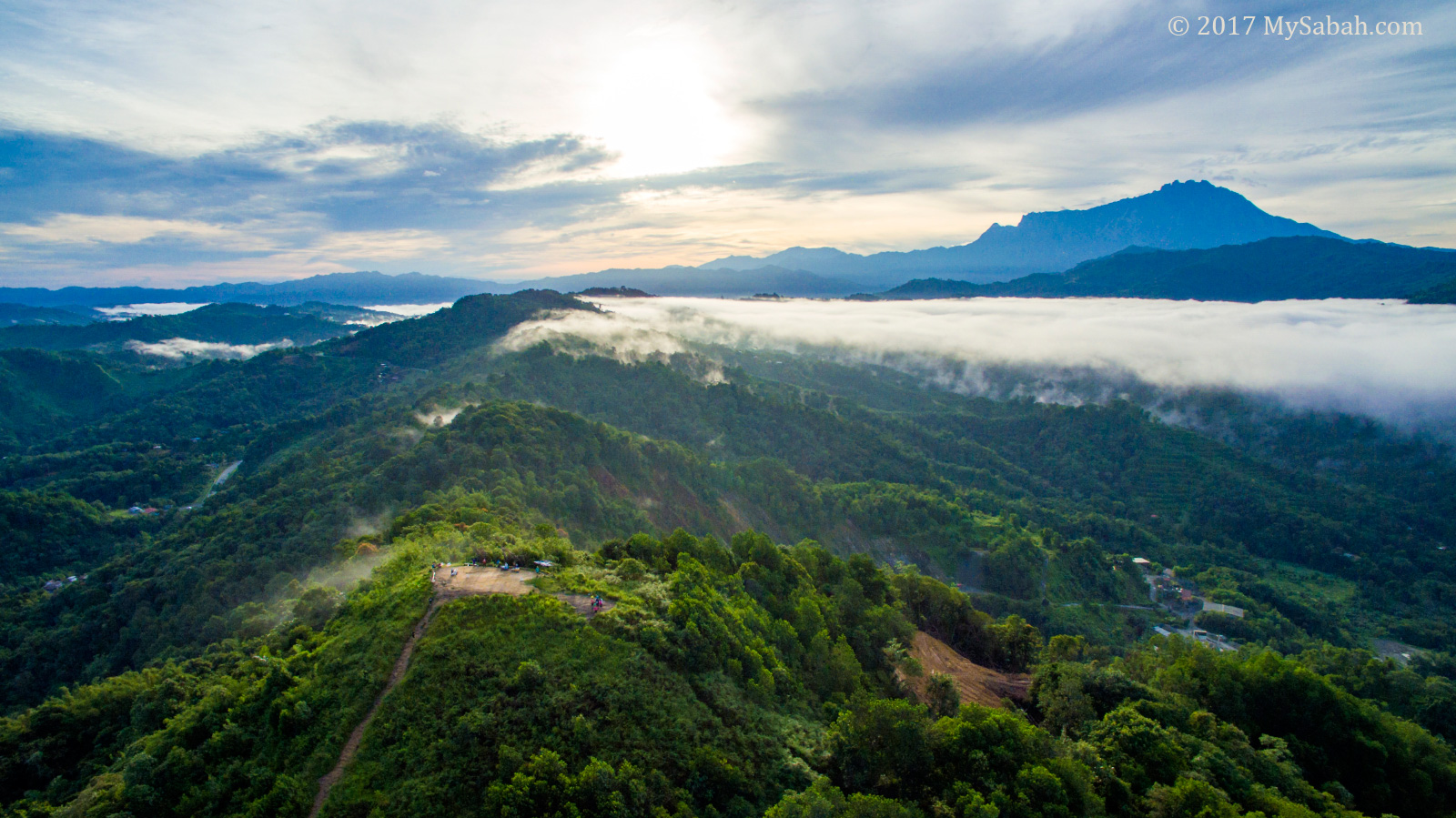
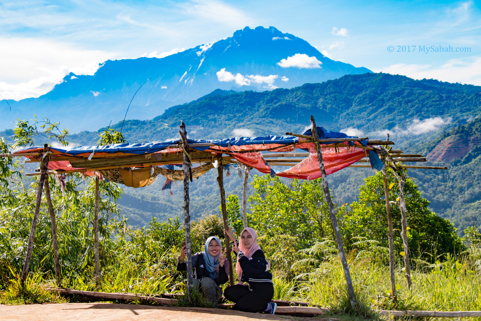
Many also say the top of Bukit Perahu has one of the most spectacular views of Mt. Kinabalu (the highest mountain of Malaysia).
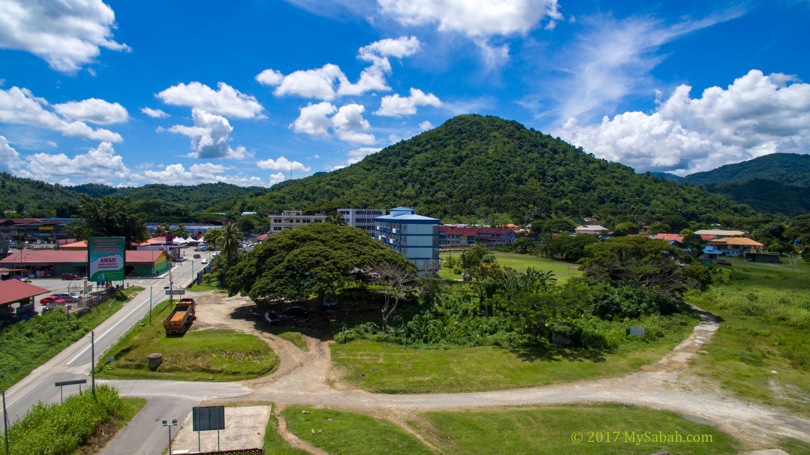
One day I finally managed to get up early in the morning, headed to Tamparuli, which was 30 KM away from Kota Kinabalu City, then climbed up to the peak of Bukit Perahu.
What they said was true. The scenery is so exceptional that I climbed it again the following week with my drone to photograph some aerial shots.
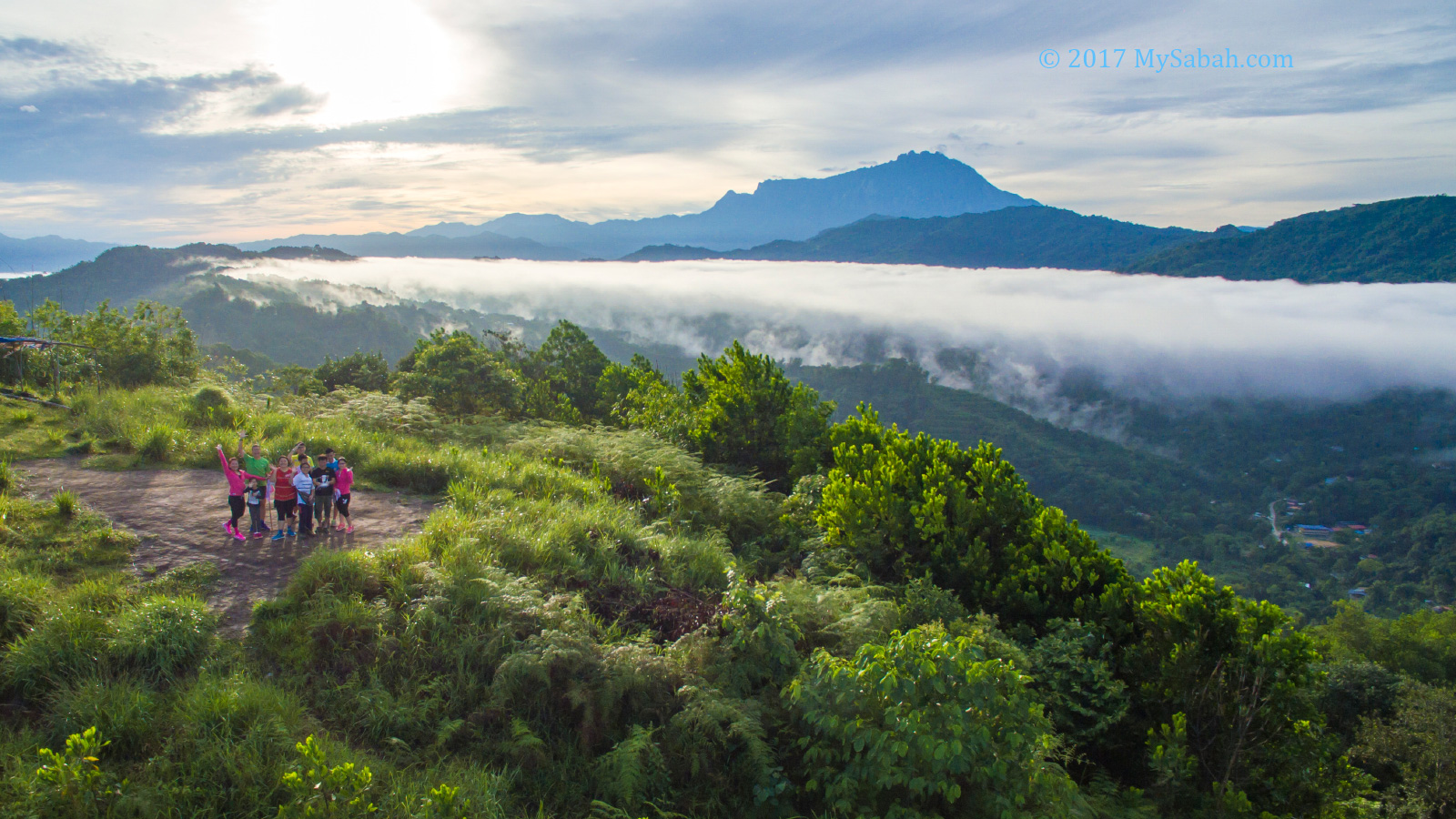
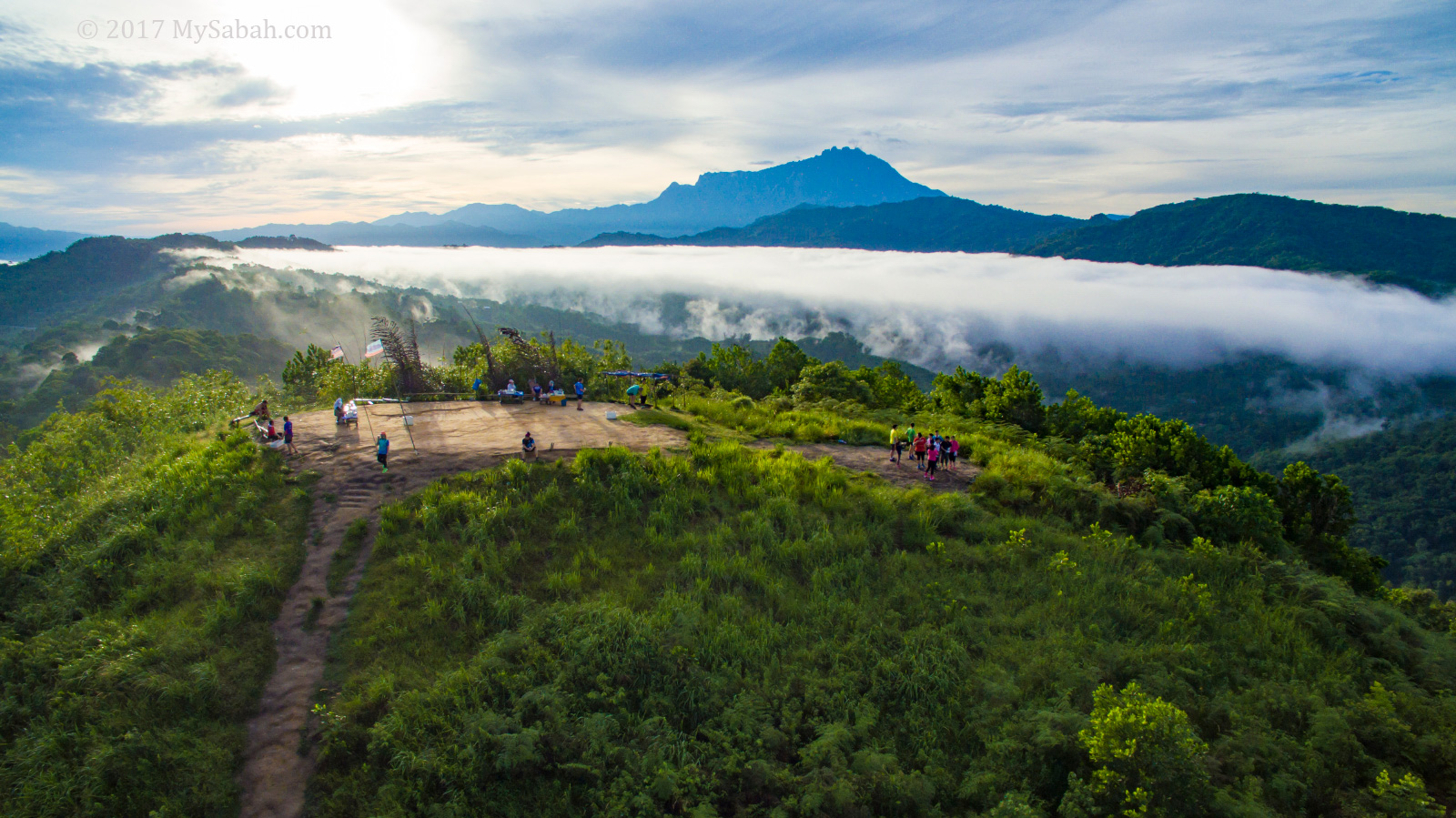
During good weather in early morning, you would see Mt. Kinabalu like floating on sea of cloud. Someone come very early to catch the sunrise around 6am for the best view. If you go late, say after 8:30am, the sea of cloud would disperse and envelope Mt. Kinabalu.
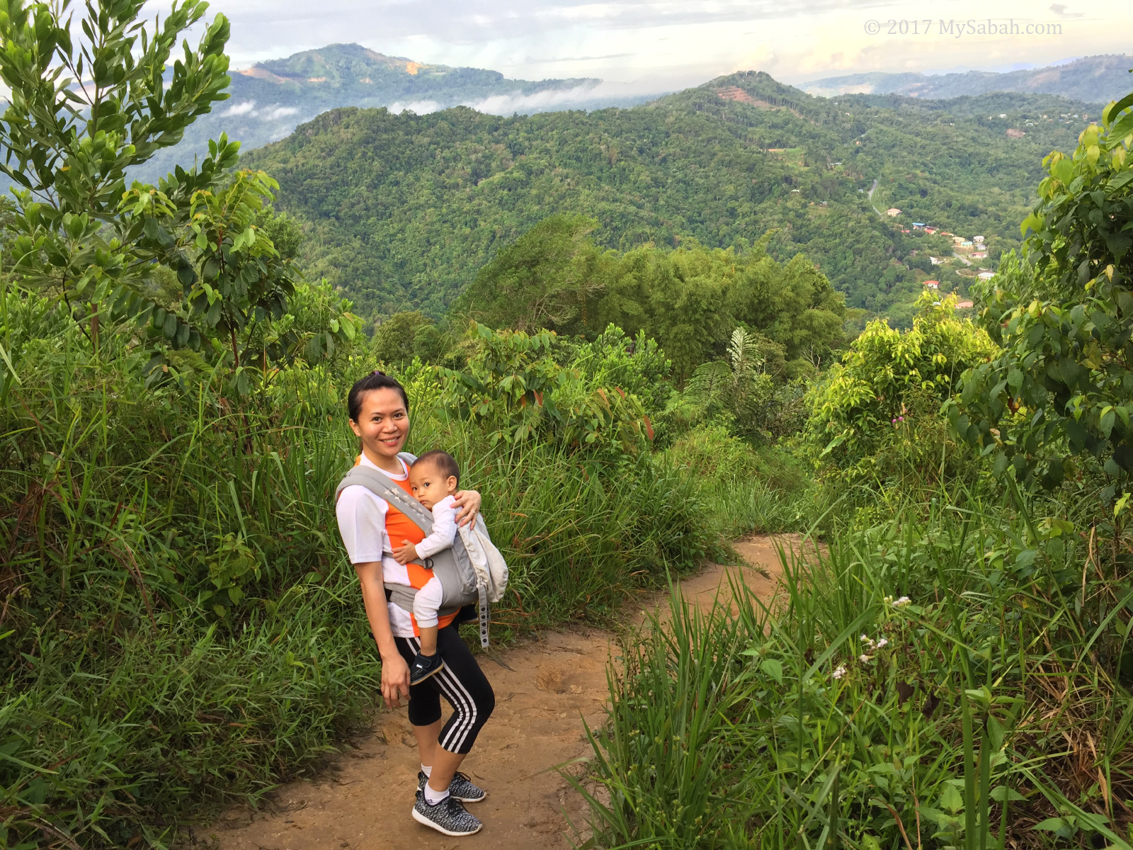
Bukit Perahu is only 300 Metres high. The hiking distance to the top is about 800 Metres and normally takes about 35 minutes, depend on your fitness. Some sections of the trail is a little steep. Overall the climb isn’t challenging.

The Climb
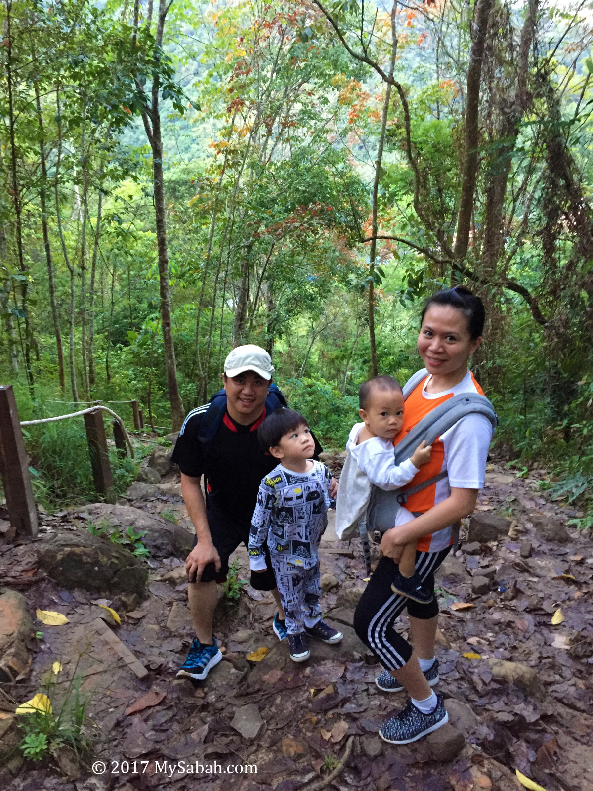
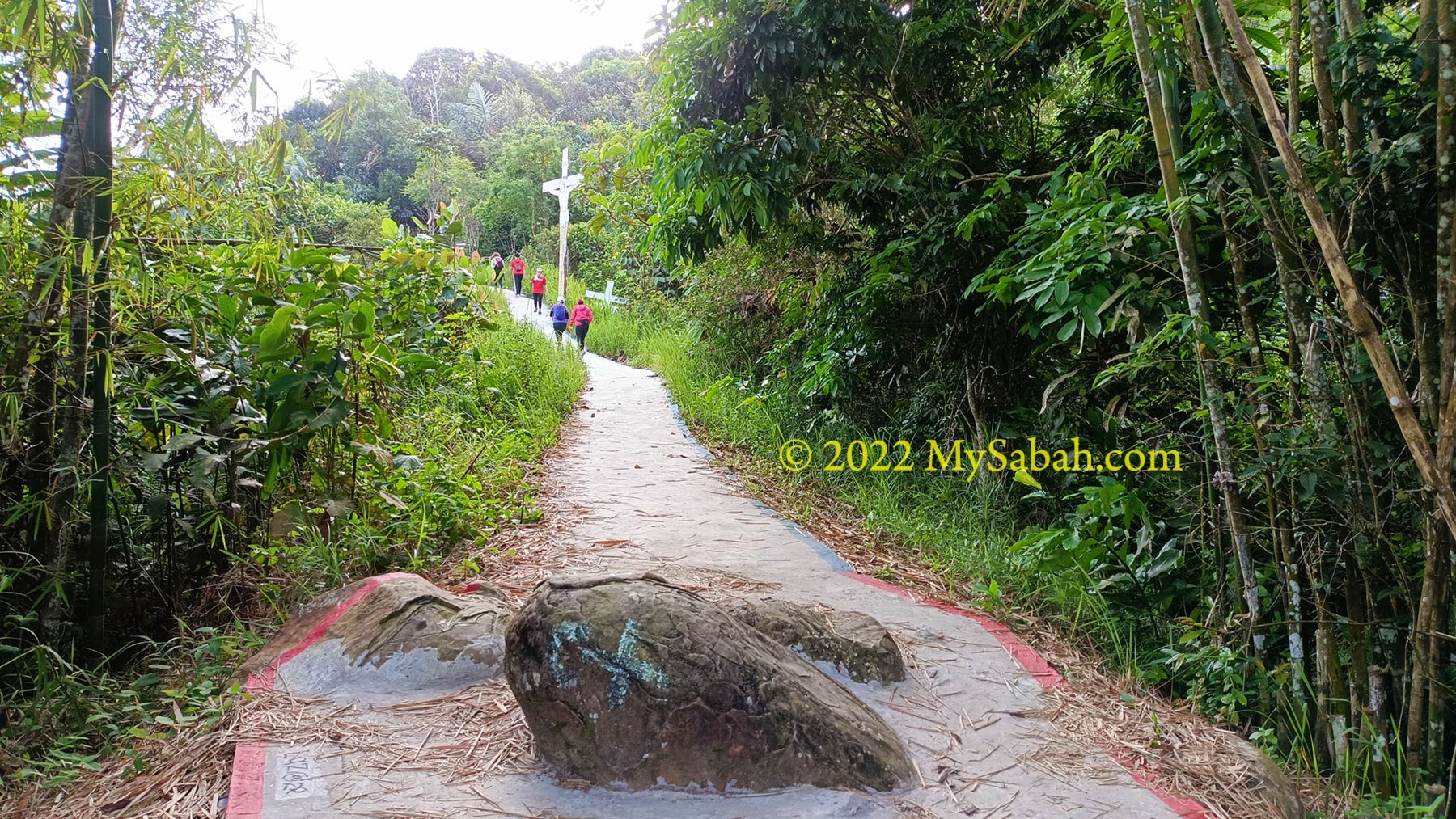
The starting point of the climb is near to the roadside in Tamparuli (later I tell you how to get there). It’s a public area and you aren’t required to pay any entrance fee. The trail is well-marked and there are many hikers around in the morning, so you won’t lose your way.
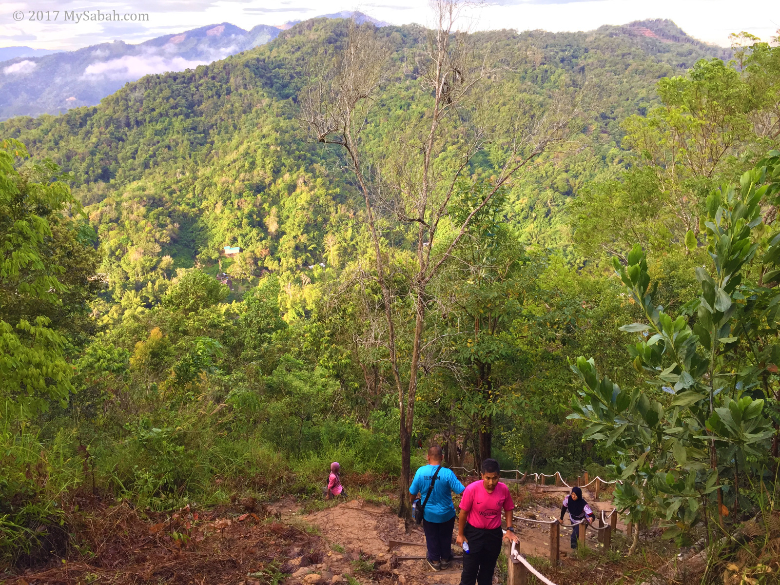
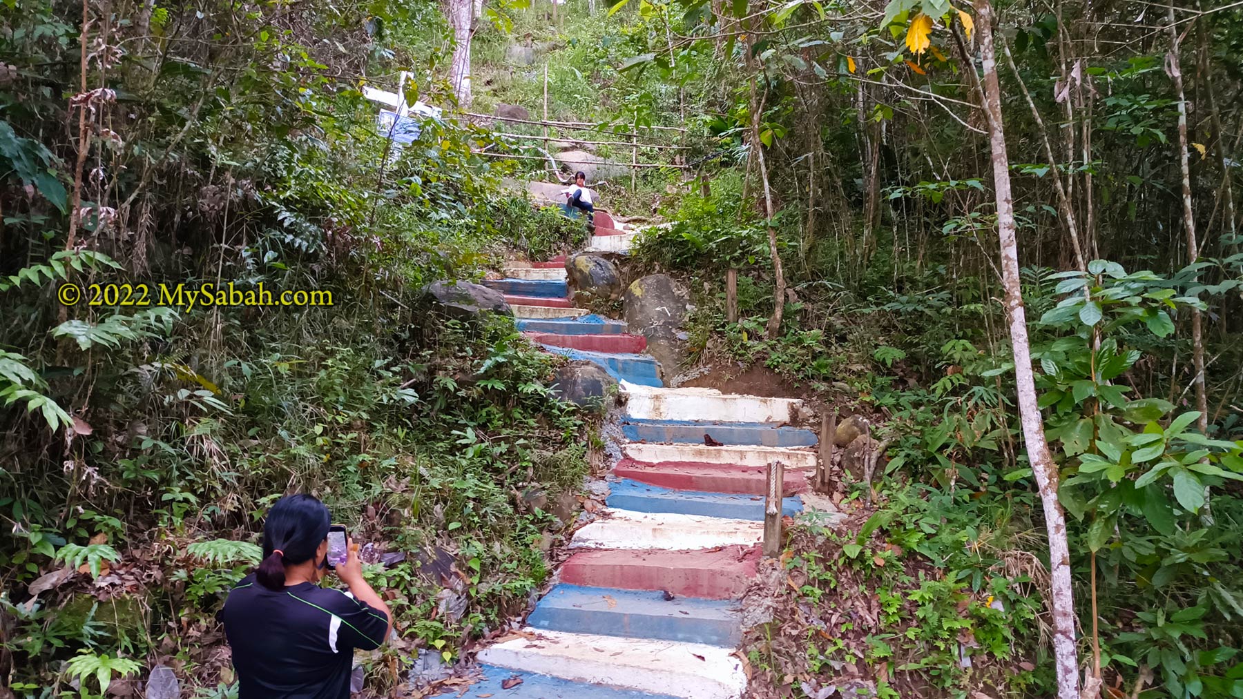
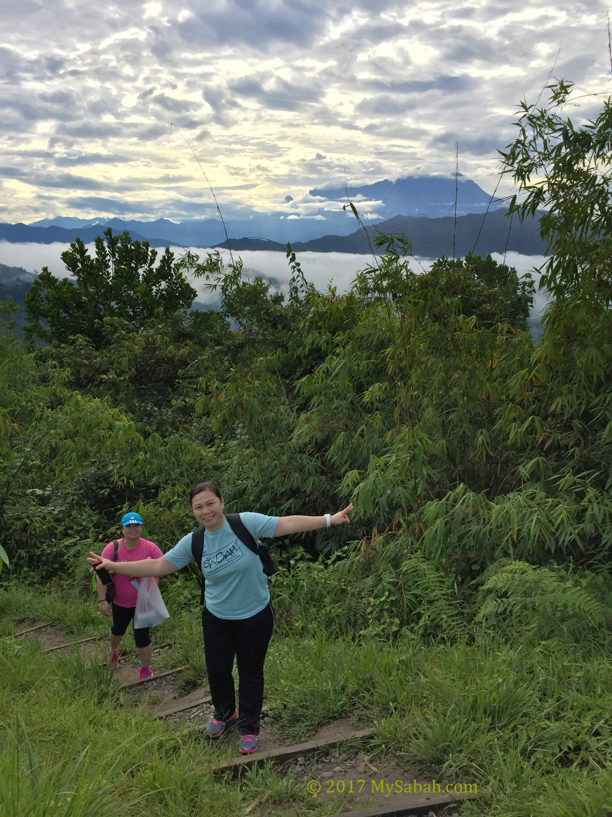
Looking from far away, Bukit Perahu is a cone shaped hill with gentle slope, but the route is a bit steeper than we think. The 800-Metre trail is fully paved by cement from the start to the end (peak), so no more slippery soil trail after rain.
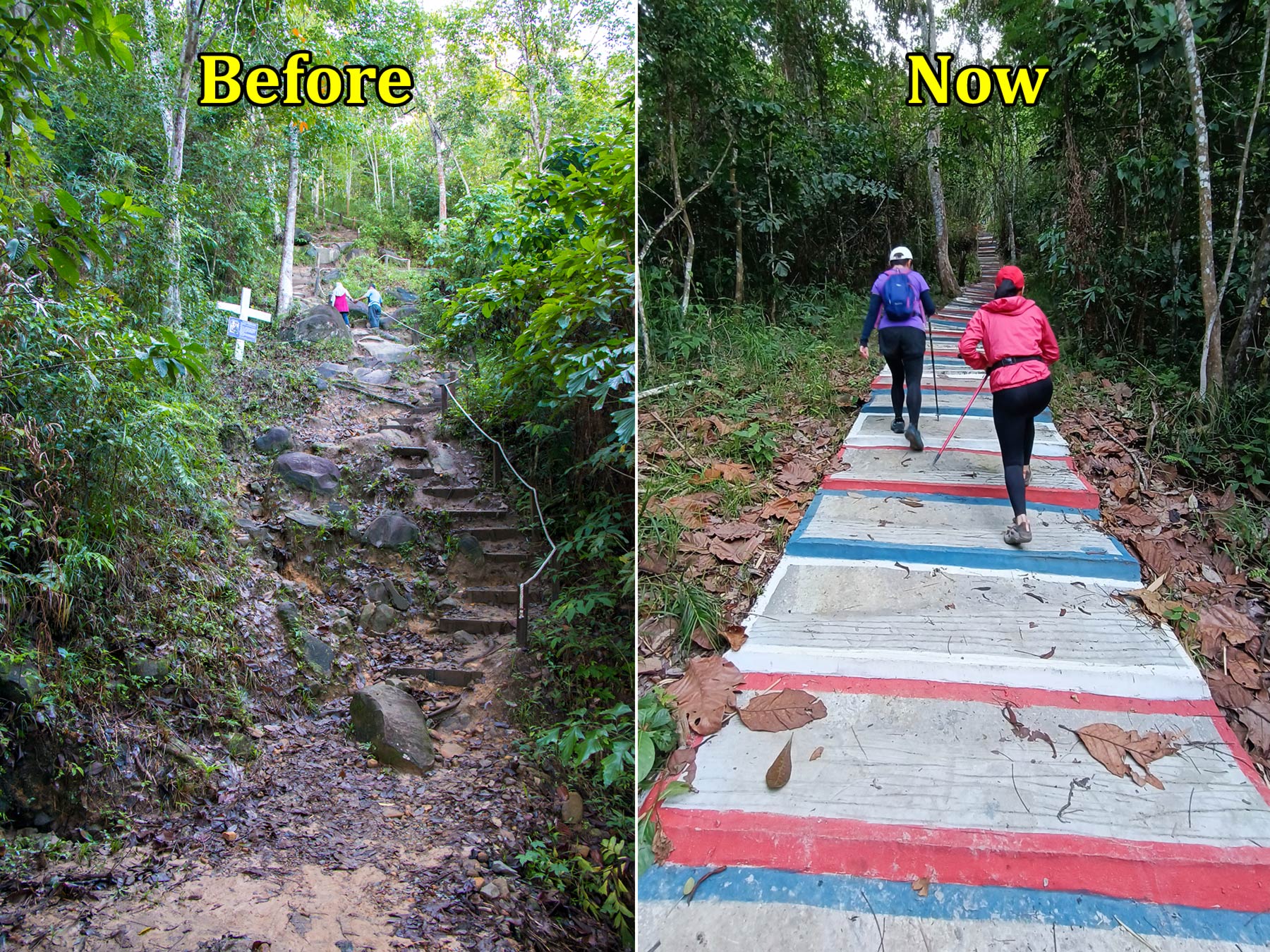
Note: The photos that show nature trail here are the old photos, the peak can be reached by stairway now. Do expect some human traffic during weekends, as everyone uses the same trail for ascend and descend.
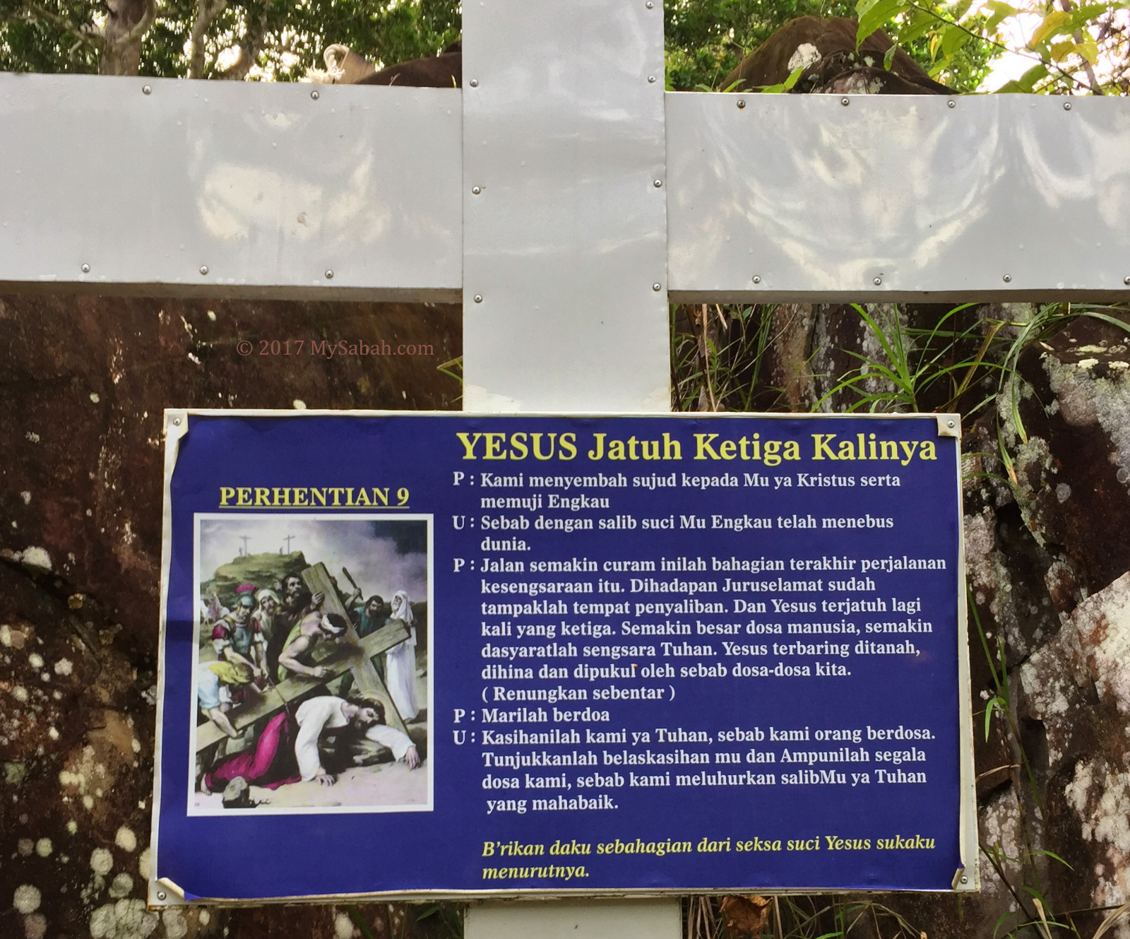
The local Catholics make this trail the Station of the Cross (or Way of Sorrows). Along the trail you will see a total of 14 cross signage with picture and text depicting Jesus Christ on the day of his crucifixion.
Most of the time the dense trees shaded me from sunlight, and the cool morning breeze stopped me from overheat, so it’s quite a pleasant walk.
The stairway prevents climbers and hikers from walking on the slippery trail and boulders. However, someone say that the new cemented path is losing a bit of touch with nature.
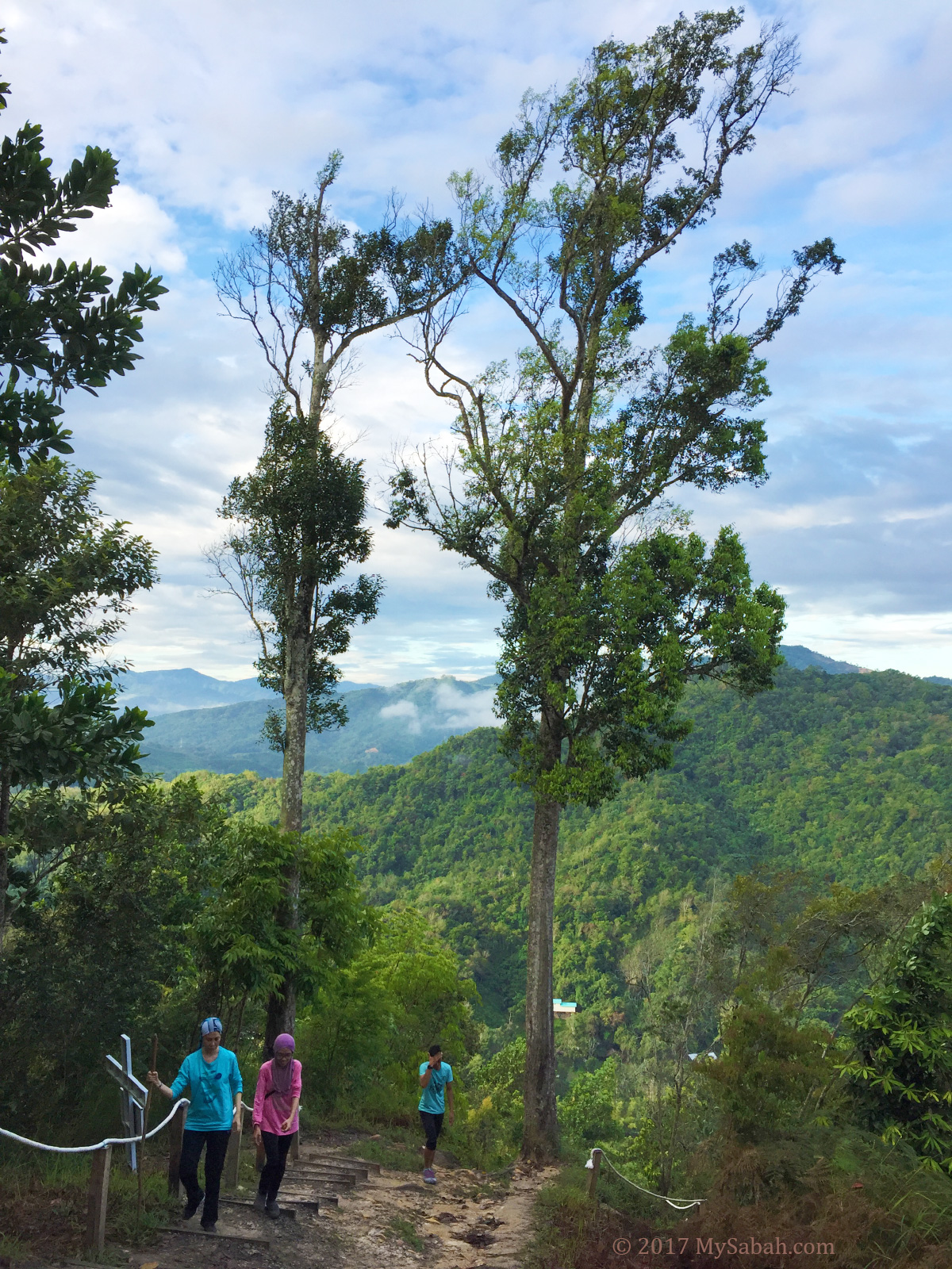
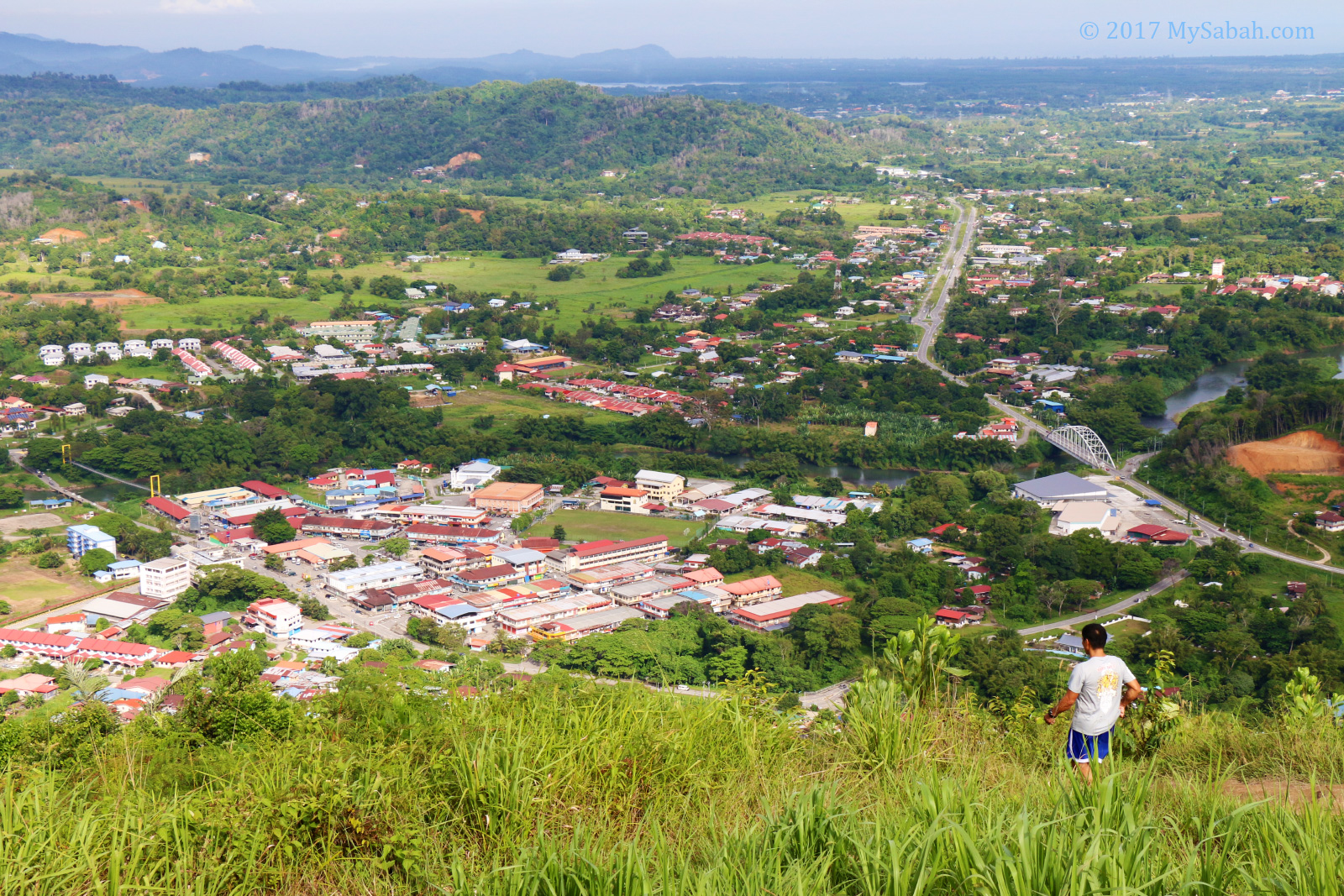
After moving higher up, I could see Tamparuli town and surrounding hills with lush forest, the more I ascended, the nicer the view.
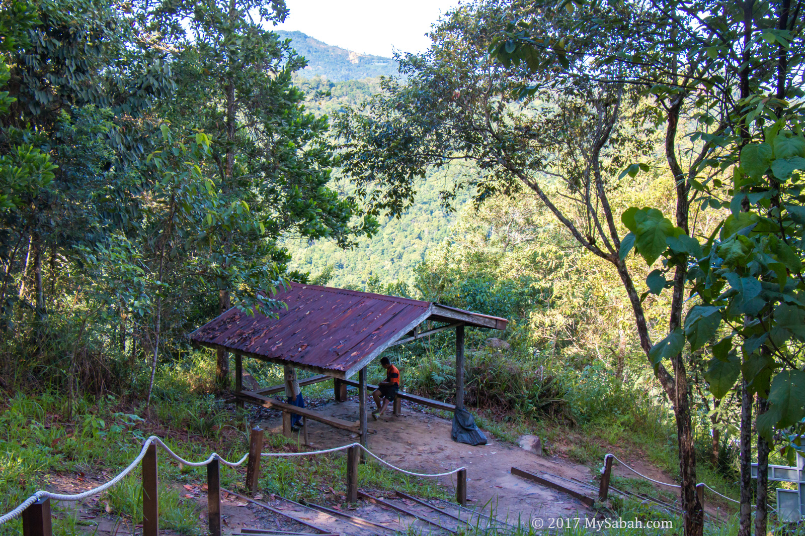
I took a short break in a gazebo next to cross No. 10. I was halfway there.
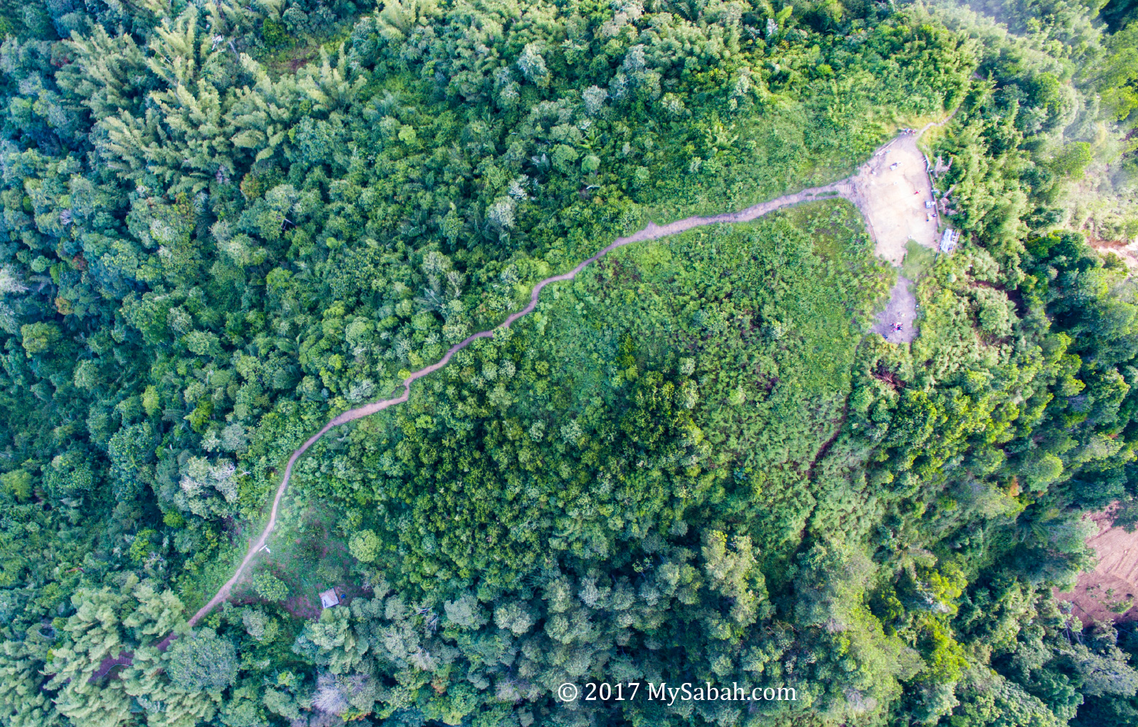
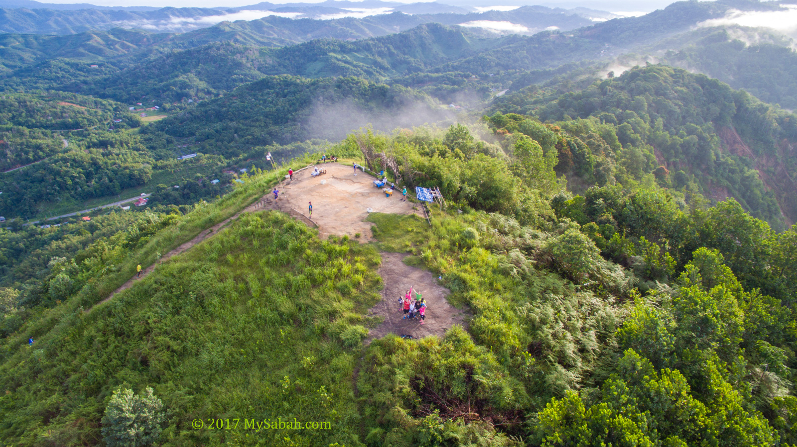
After the last cross, I reached an open area with soil trail pounded solid by thousands of footsteps of hikers.
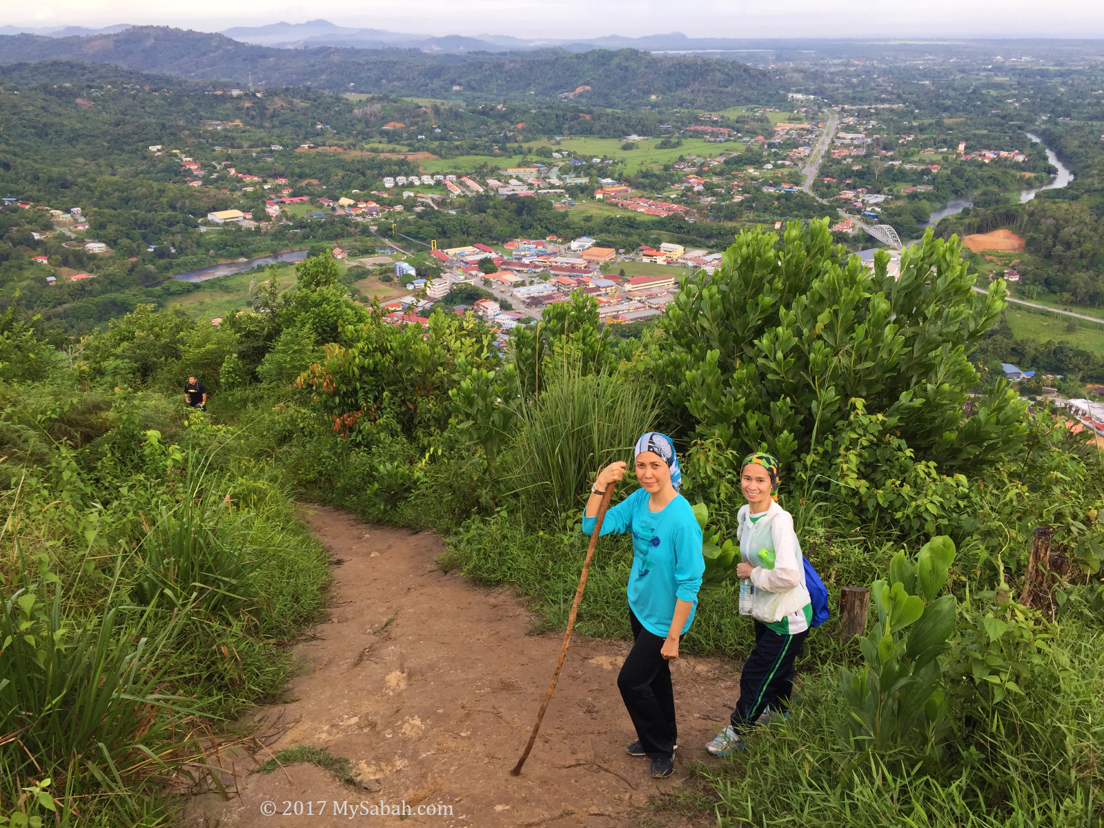
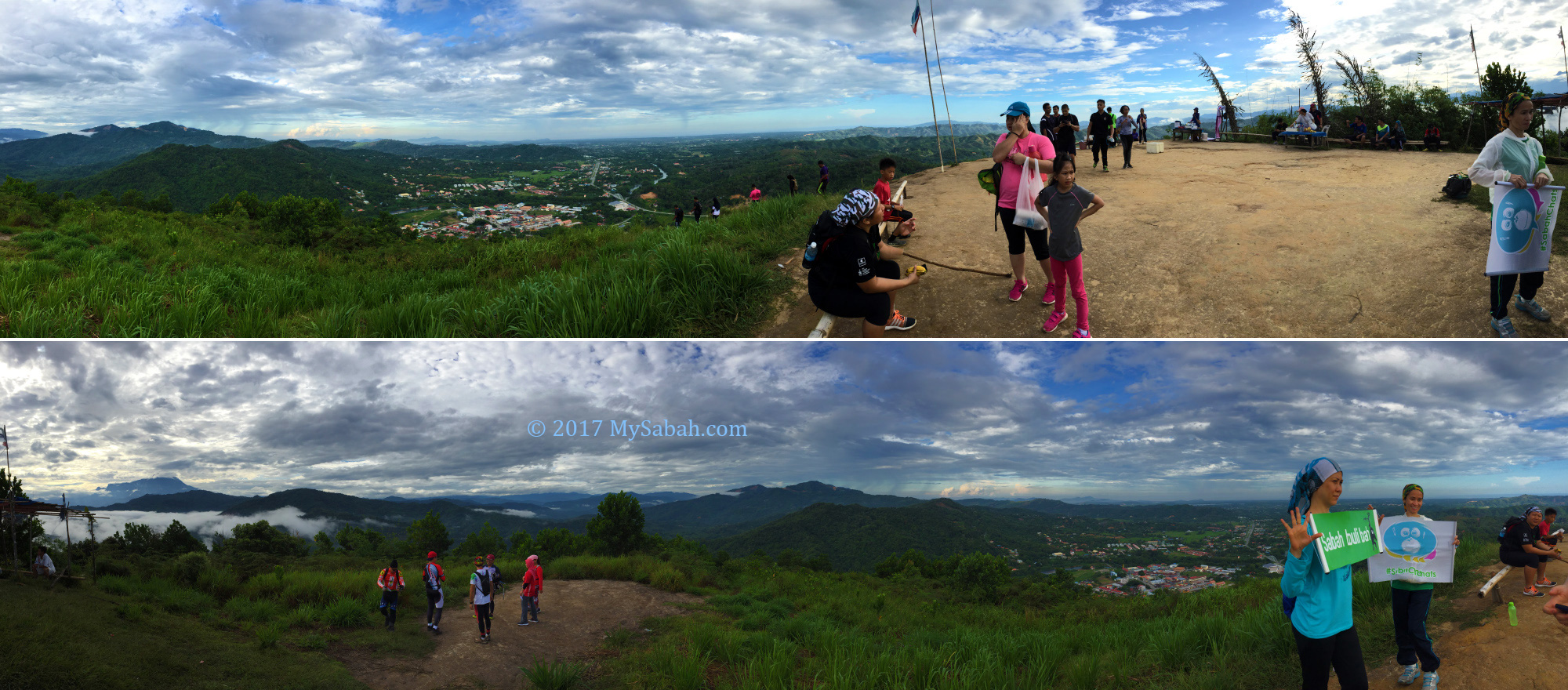
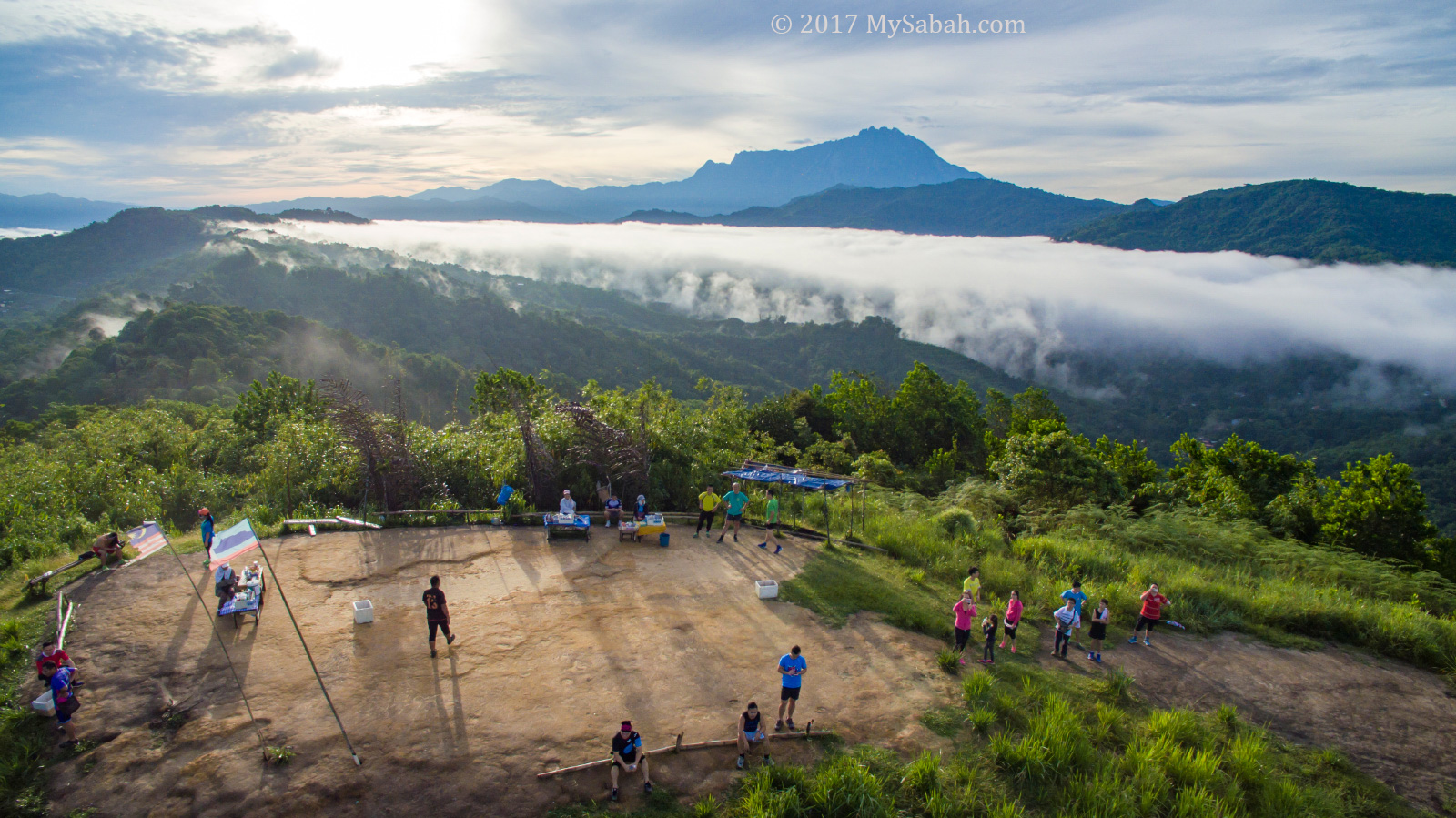
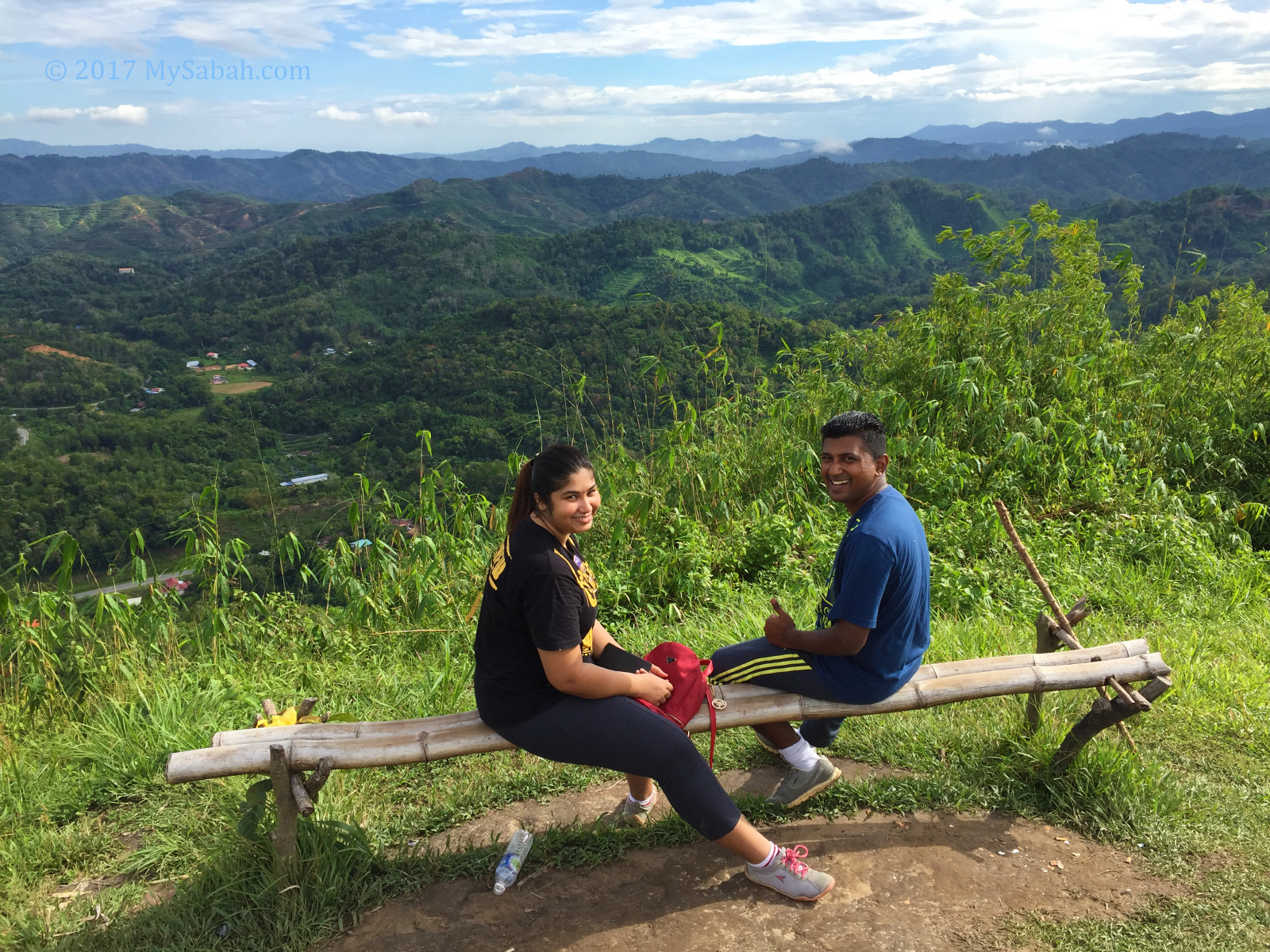
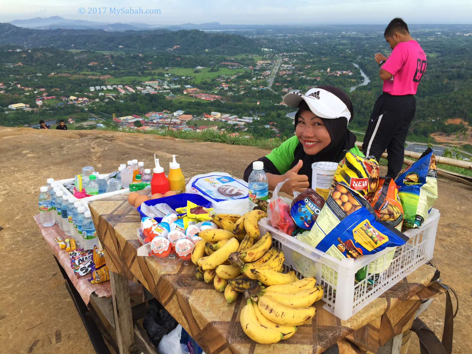
On the hilltop were some relaxing hikers enjoyed the panoramic view of Tamparuli town, rolling green hills and Mt. Kinabalu.
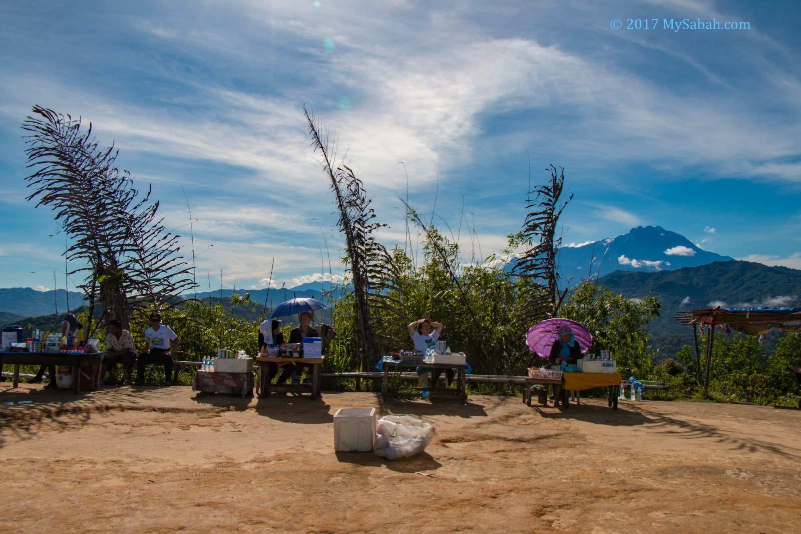
Hungry? Thirsty? A few hawkers were selling drink, snacks and fruit (the prices are higher, consider the labour work to carry these things up to the hill, e.g. a tin of 100Plus sold for RM3.00).
The Boat Rocks
I tried to locate the two boat rocks that earn Bukit Perahu the name. Please note the trails to the rocks may not be well-maintained and covered by dense grass.
The smaller one is nearer and the entrance is at the left hand side (when you face Mt. Kinabalu).
It’s quite an easy walk on a small trail and I saw the boat rock within 10 minutes. It really looks like the front of ship (bow).
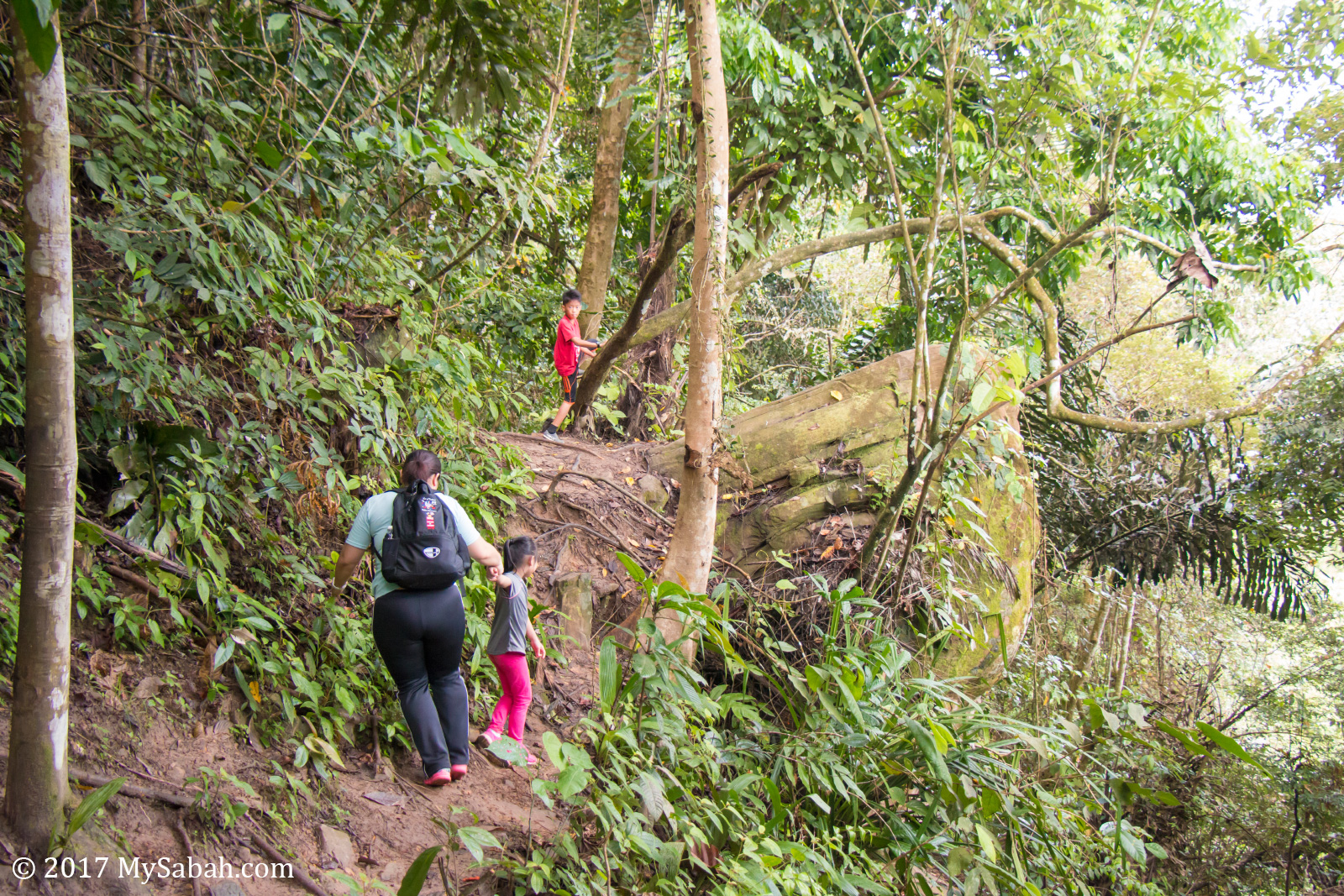
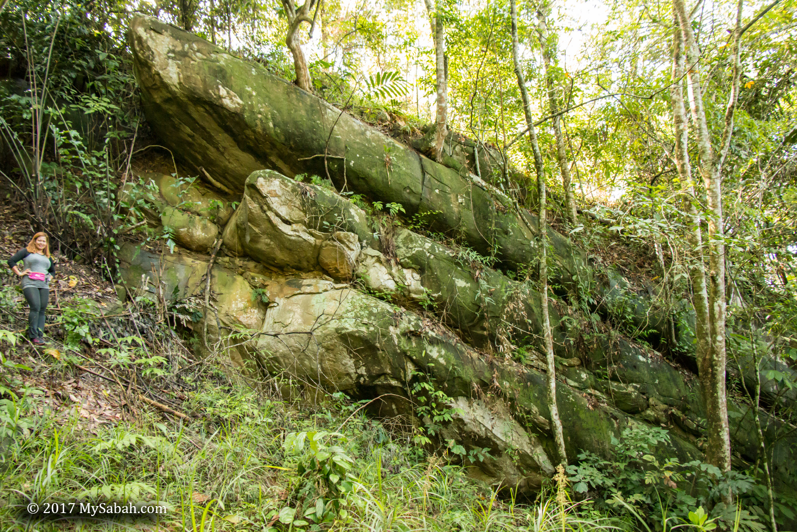
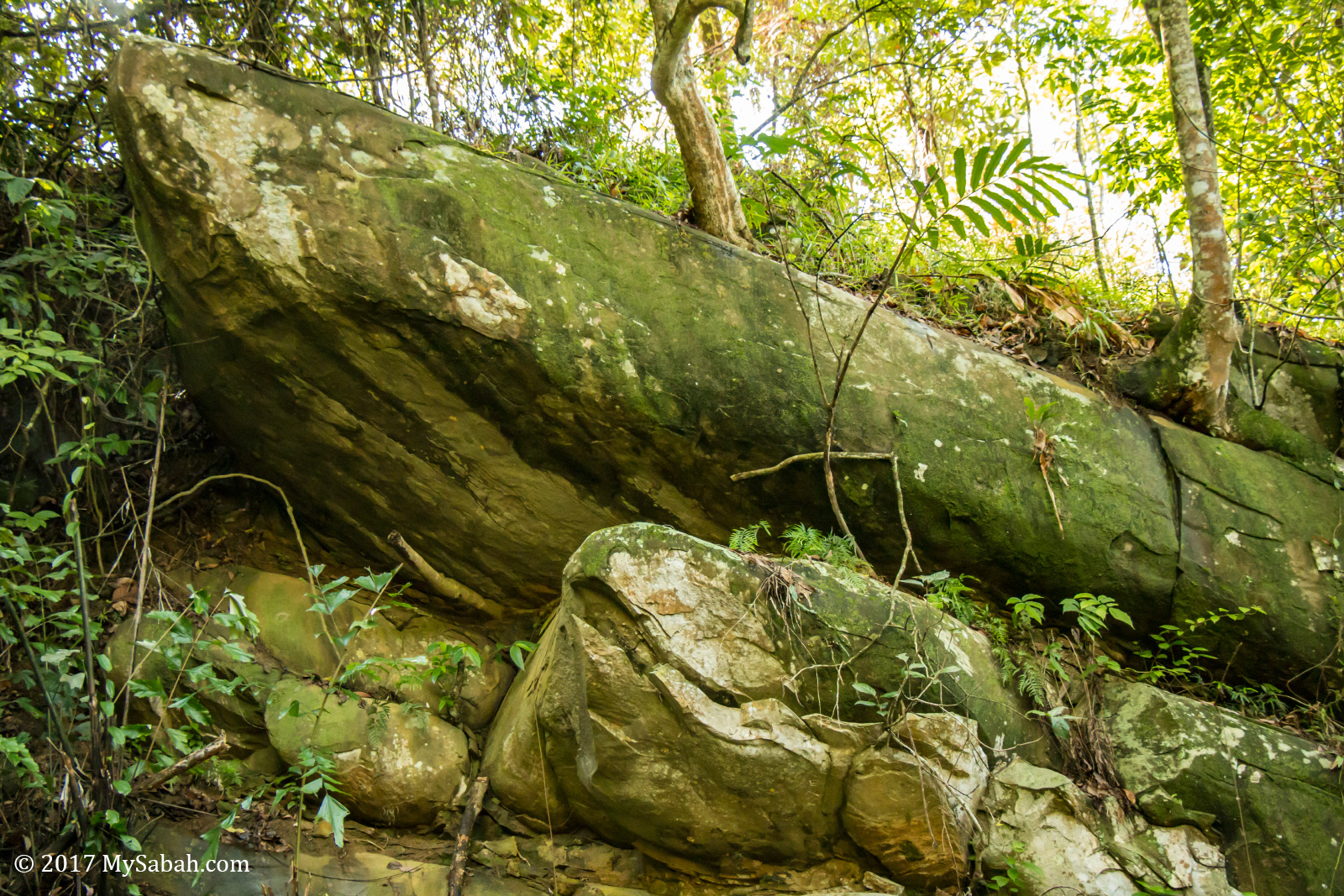
The bigger one is another story. The entrance is at the right. When I asked the locals for direction, they looked concern, as if it’s a bad idea. They warned me that the trail is not in good condition.
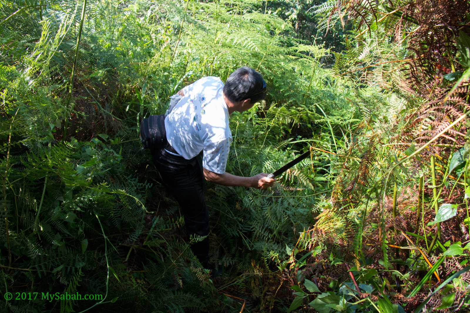
I just proceeded anyway and walked into the wood, just after 15 Metres a dense bush was in my way, I was stuck. Luckily, Azlan, a local from Tamparuli, came to “rescue” by using his machete to clear the trail.
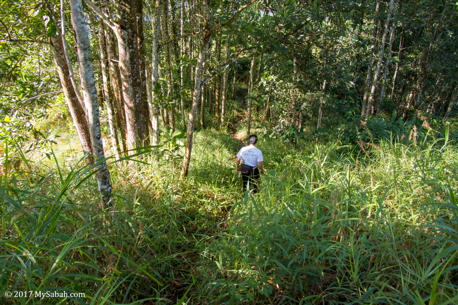
I followed Azlan to pass through the dense wood and narrow steep trail. Azlan climbs this hill regularly so he knows the place really well. In fact, he is the one who opens the trail to the big boat rock. He said he had cleared the trail in Jan but the undergrowth flourished again.
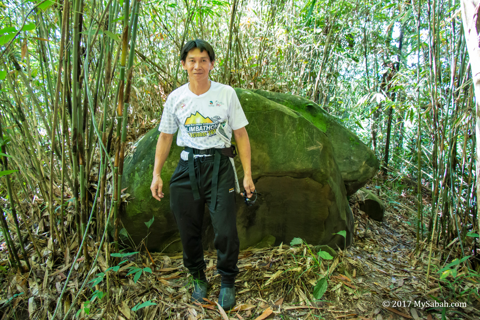
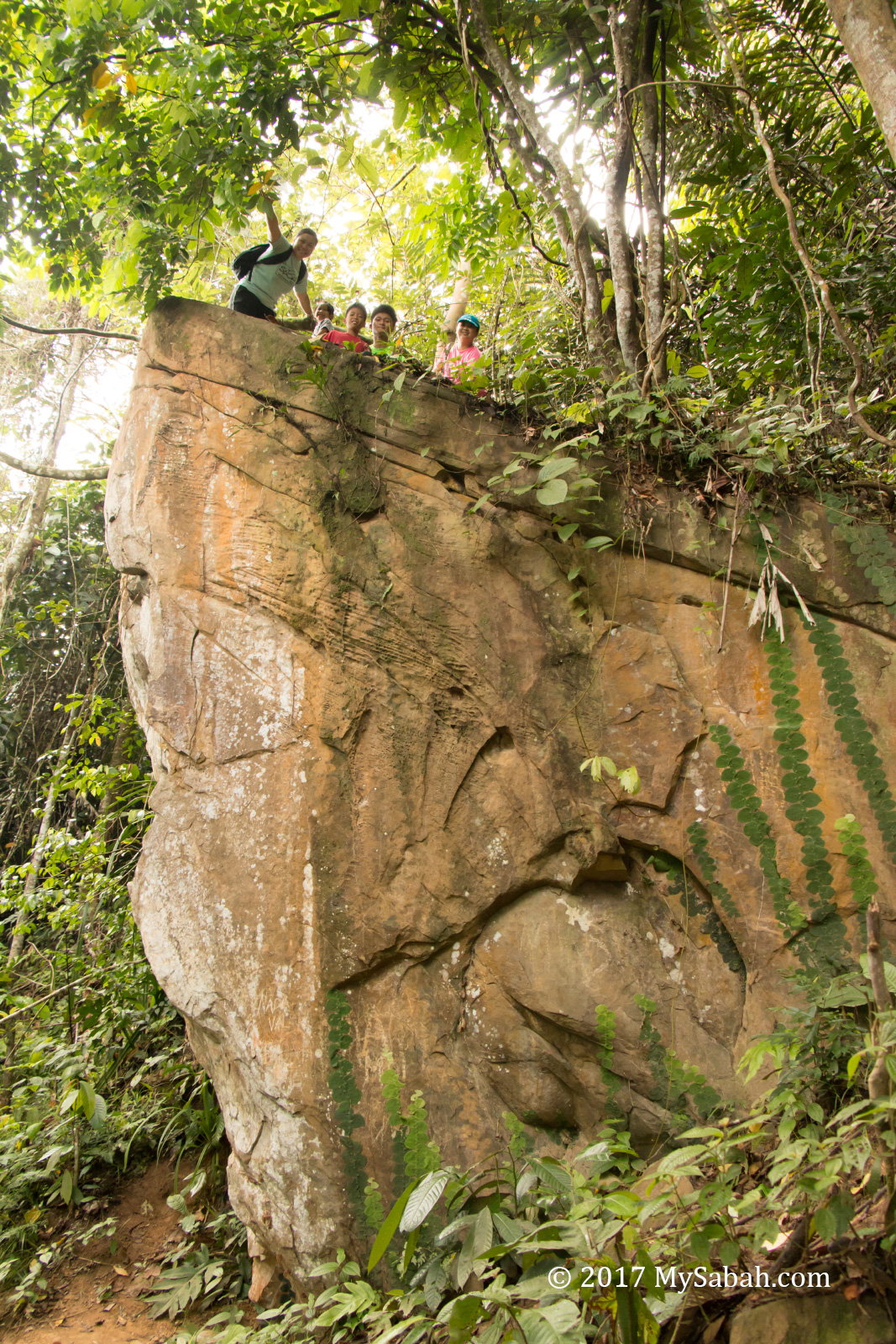
After 23 minutes of painfully slow move on steep and slippery trail, Azlan stopped at a big rock and said “It’s here.” I didn’t see any boat rock. He added, “You are on top of the boat rock. You need to descend to the side to have a better look.”
He is right. At one side, the boat rock looks like the hull of a cargo ship. I don’t really recommend you visit this rock due to safety. If you must go, bring insect repellant.
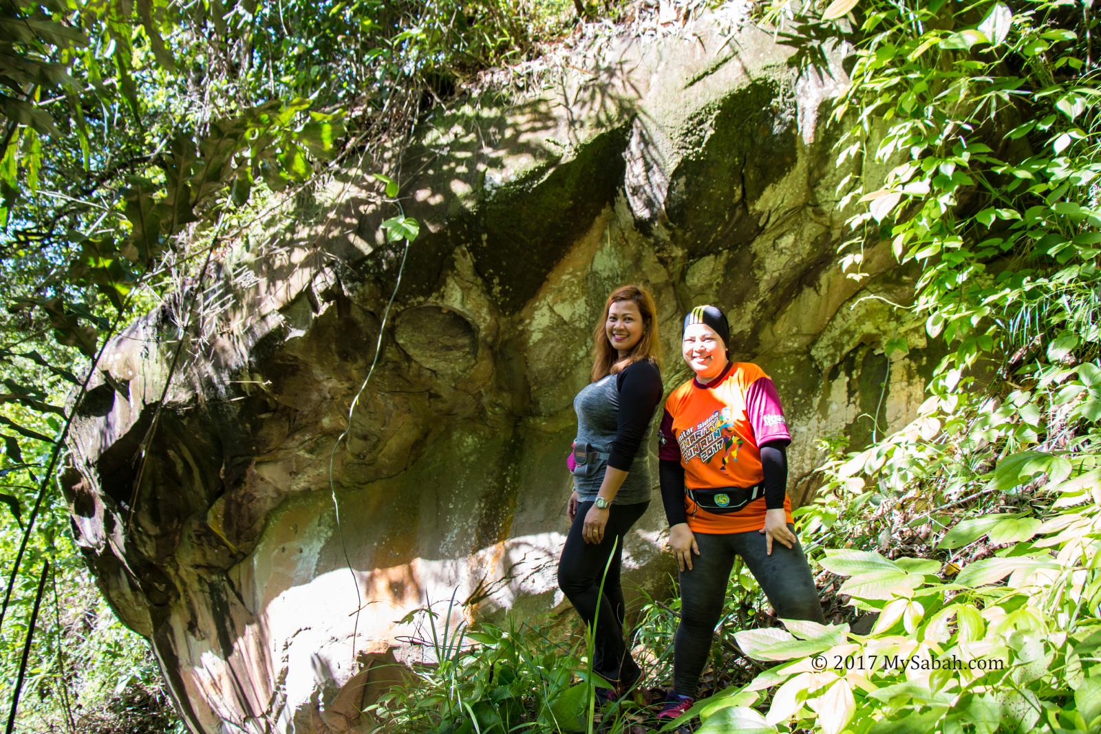
Then we descend to another side. From this angle, the rock really looks like a ship that has 3 layers of decks. Two ladies, Zoom and Farah were following us, I included them in the photos so you can see the scale.
Azlan is a civil servant working in Tuaran. Though he is 52 years old, he remains very fit and climb Bukit Perahu up and down 5 times to train for climbathon (mountain race).
How to get there
When you reach Tamparuli town, which is about 30 minutes by car from Kota Kinabalu City, turn to Jalan Tamparuli Togop Road (see Street View map) beside the police station.
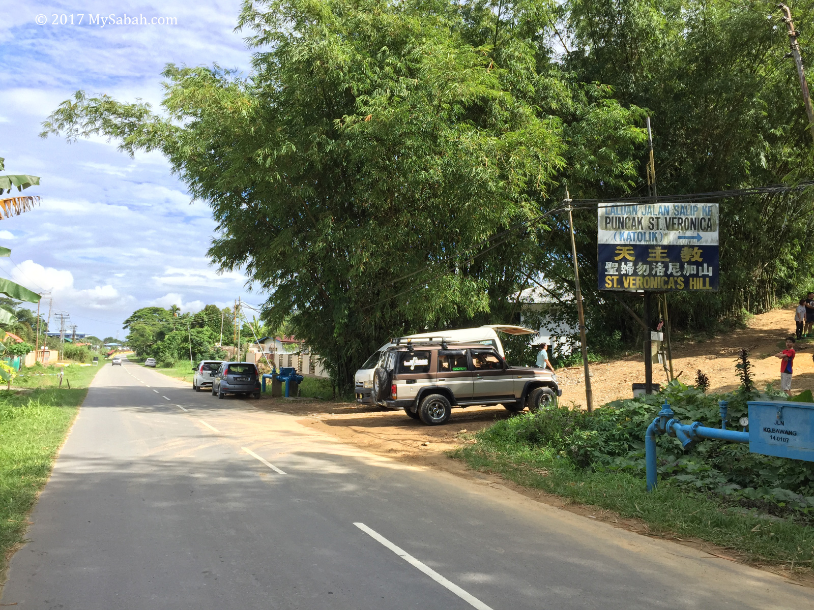
Just follow the road for about 300 Metres, the starting point will be at at your left (see Street View map, GPS Coordinate: 6.131424, 116.273830). If you come in the morning during weekends, you would see many cars parked at the roadside.
At the starting point, there is a sign that reads “Laluan Jalan Salip ke Puncak St. Veronica” (translated as: Way of the Cross to St. Veronica Peak). There is a house there so be quiet. There is no toilet at Bukit Perahu so you better relieve yourself somewhere else before the climb.
Photos taken in Tamparuli, Sabah, Malaysia Borneo
Wow! the view is spectacular. Social media users are debating about it’s real name. Some call it Bukit Perahu, some call it Bukit Ruhiang. Would like to go there someday.
I’m also confused about the names, but Bukit Perahu seems to be more commonly used.
I went back the next week to take some overhead photos with my drone because the scenery is so amazing.