Tag Archives: jungle trekking

Swimming in the waterfall pond

Kawag Danum Rainforest Lodge in Borneo Jungle

Do you fancy a holiday in Borneo rainforest? The top choice is to stay in Danum Valley of Sabah, which is located inside a 130-million-year-old virgin rainforest. The world famous Borneo Rainforest Lodge is a high-end resort in Danum Valley, luxurious accommodation but comes with 5-star price. Kawag Danum Rainforest Lodge nearby offers the similar nature experience at a budget price and is considered as the second best choice.

About Kawag Danum Rainforest Lodge (KDRL)

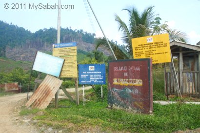
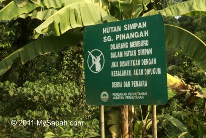
Built in 2014, Kawag Danum Rainforest Lodge is a jungle lodge located in the buffer zone (edge) of the Danum Valley Conservation Area and part of 242,000-ha Ulu Segama Malua Forest Reserve (classified as Fully Protected Forest).

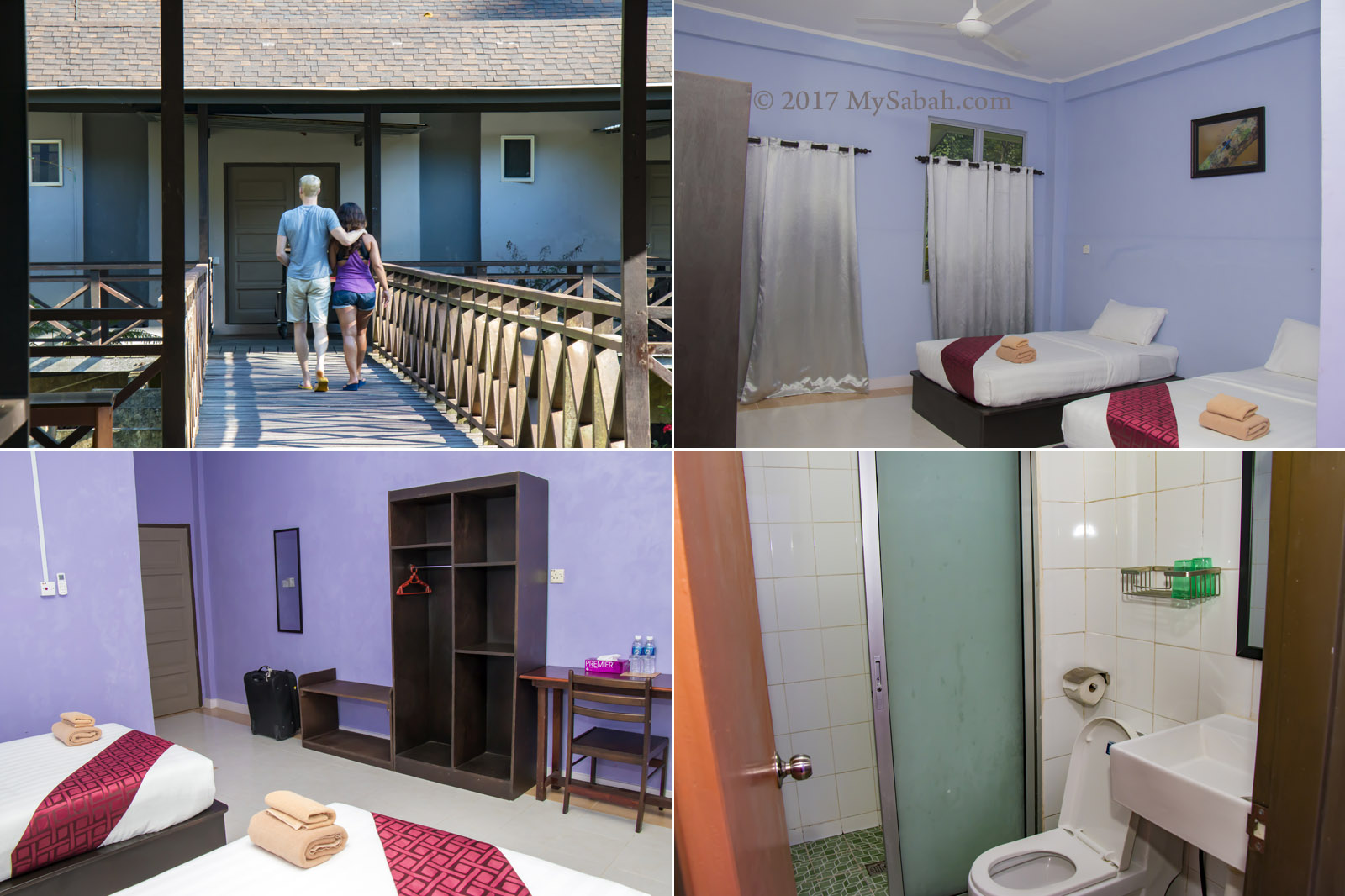
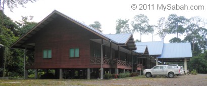
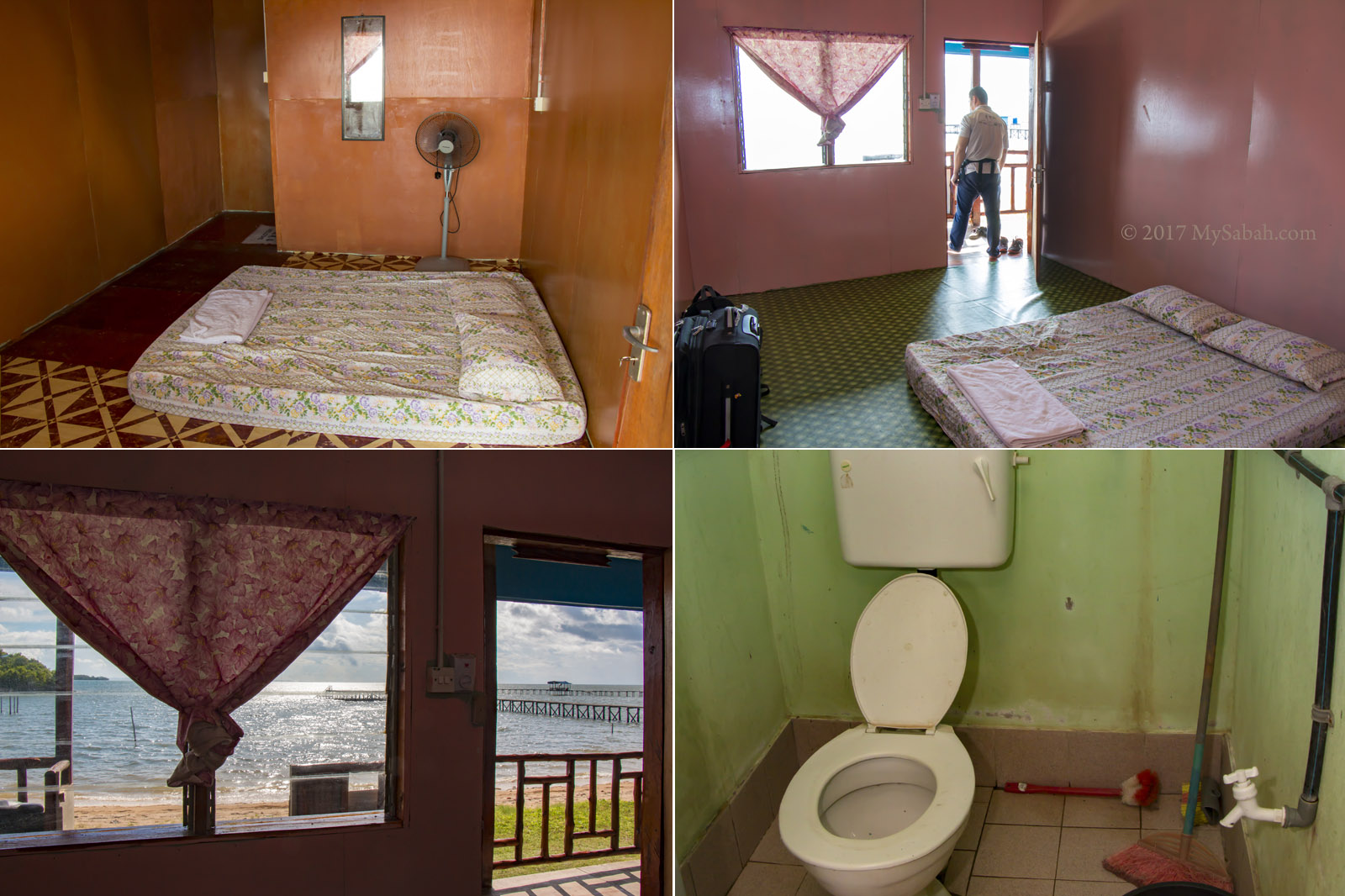
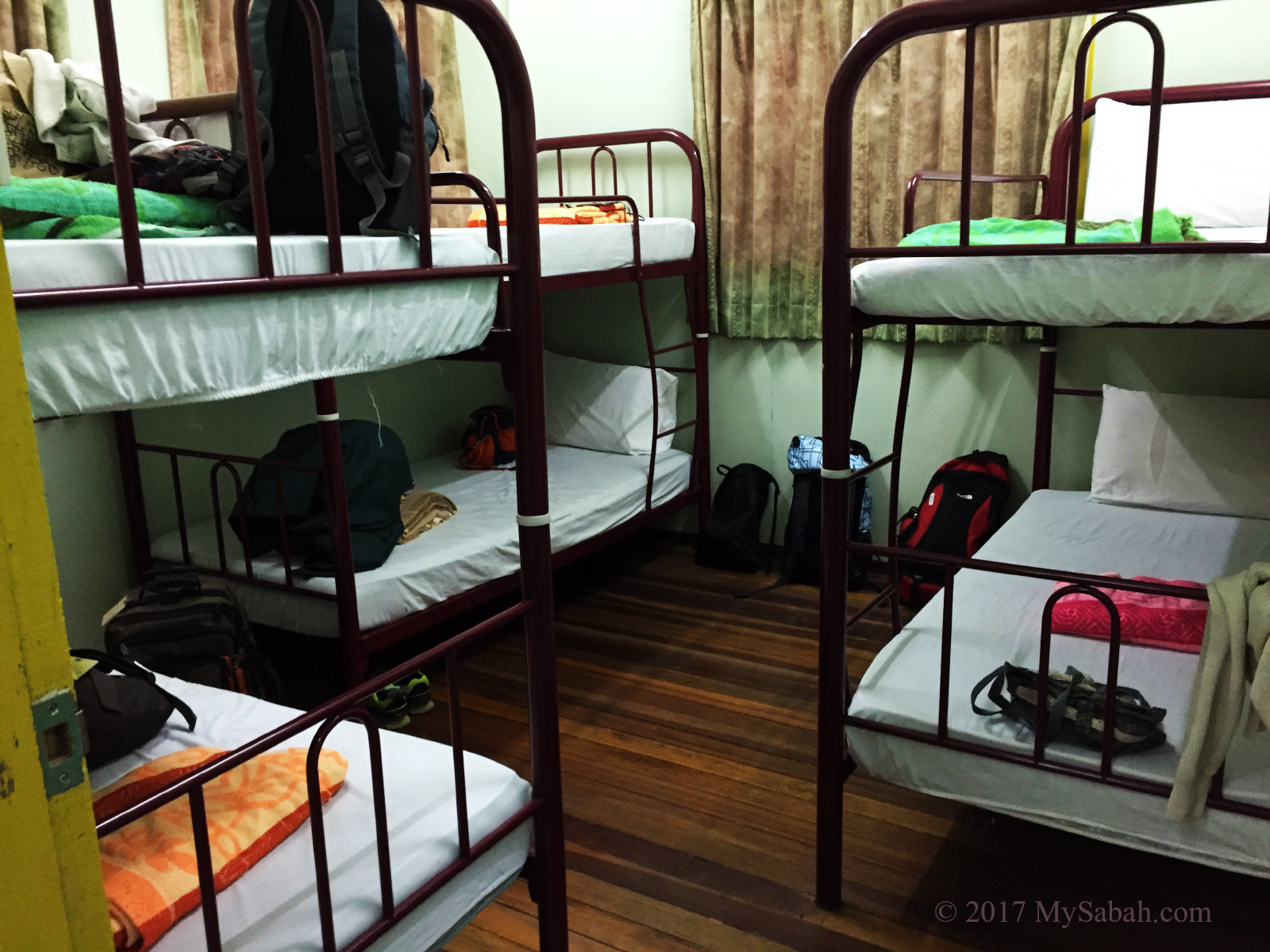
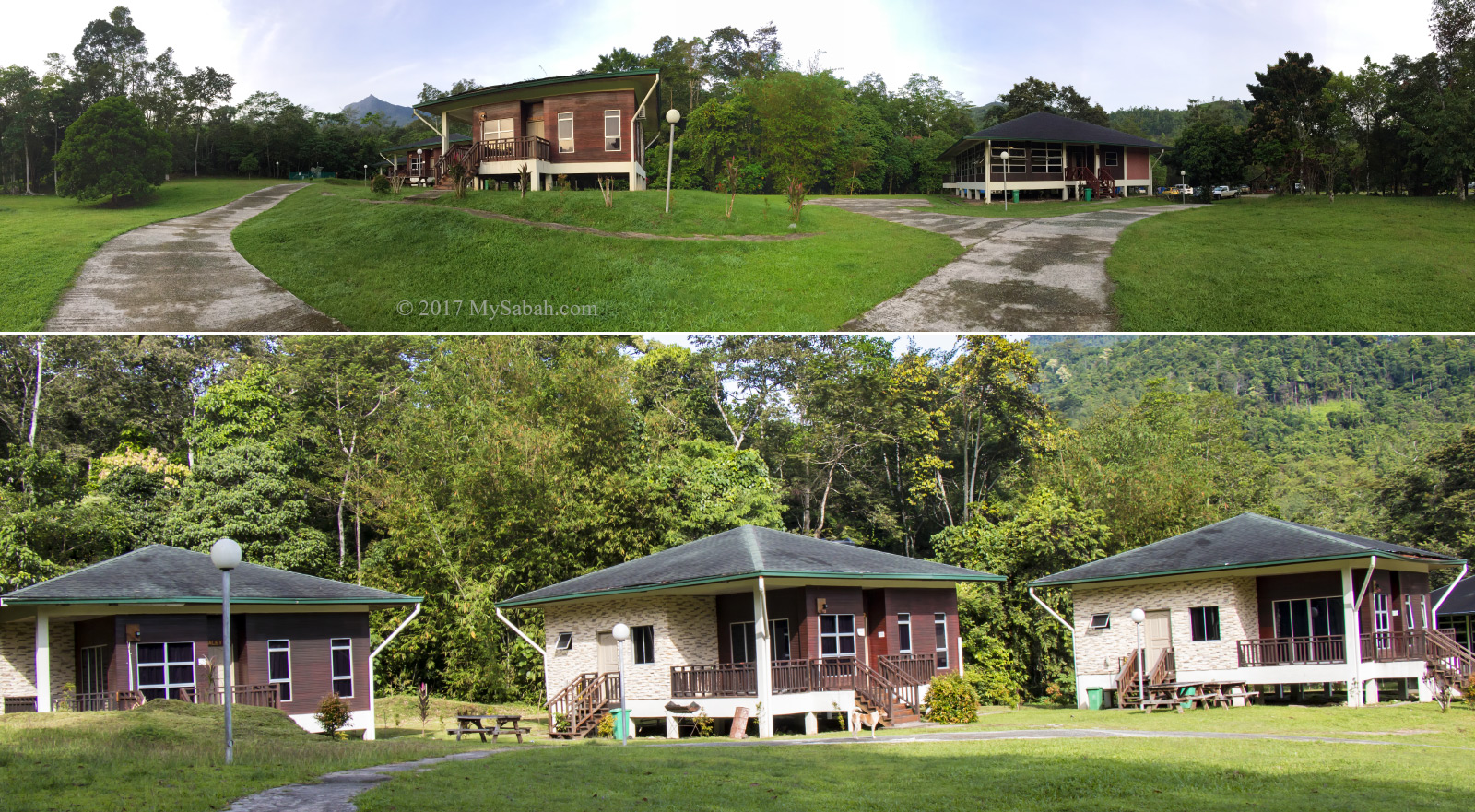
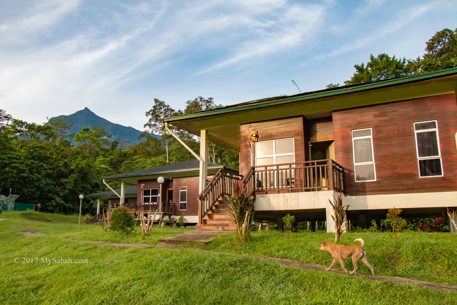
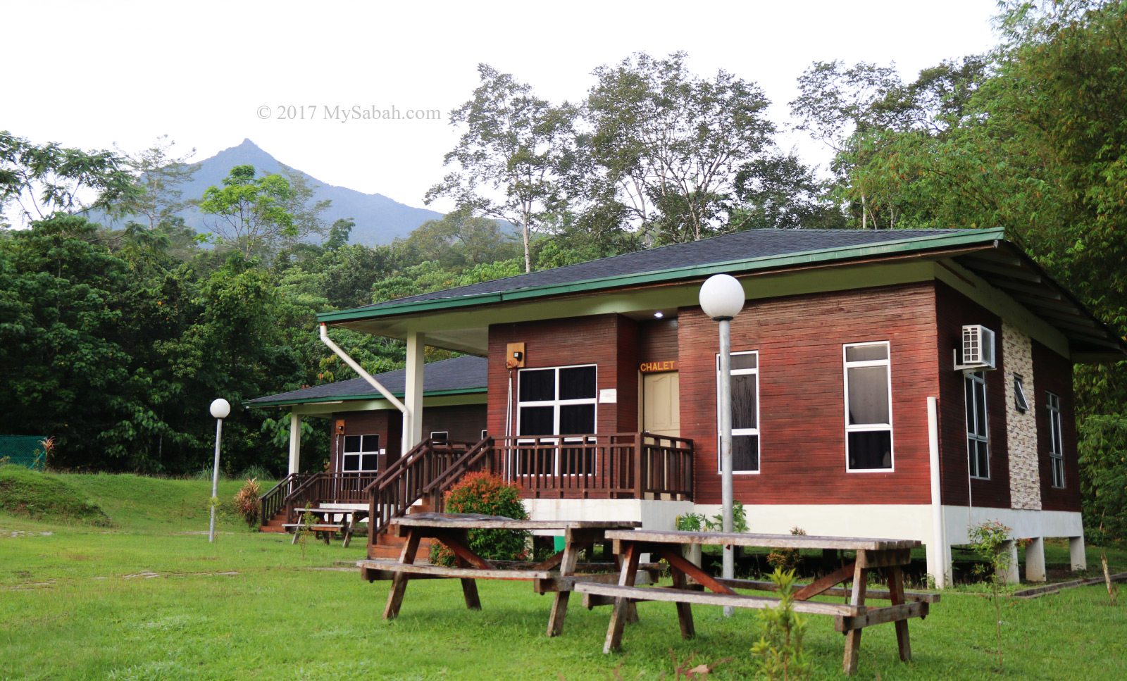
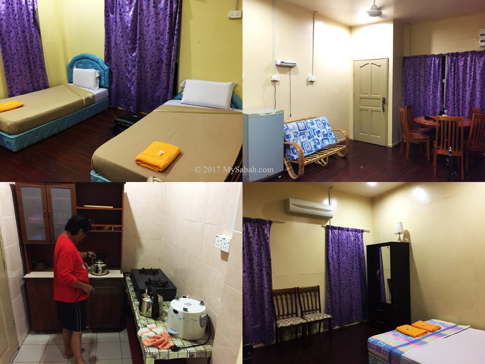
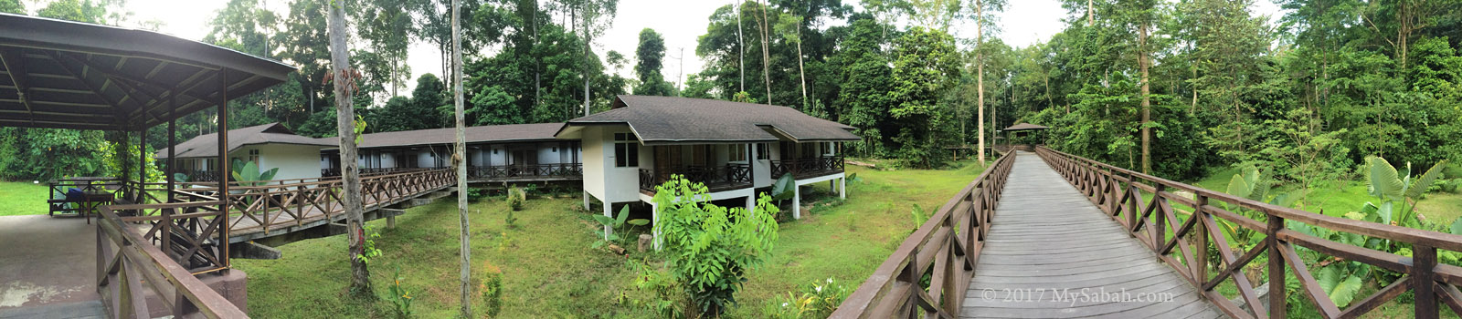
The accommodation of Kawag Danum Rainforest Lodge

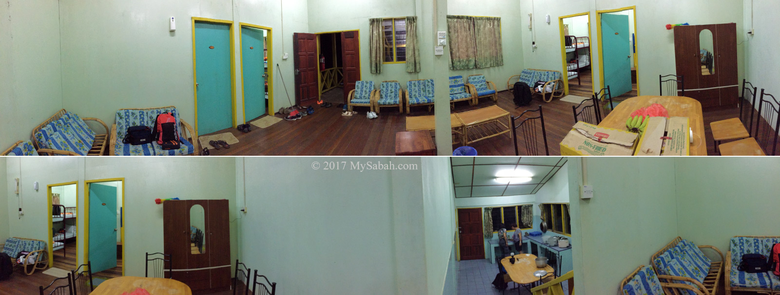
KDRL offers basic but comfortable chalet style accommodation and has 10 standard rooms (fan) and 10 deluxe rooms (air-conditioning) for tourists. 24-hour electricity is available in the lodge.

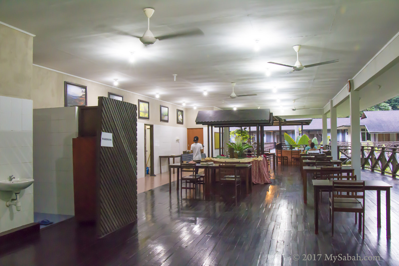
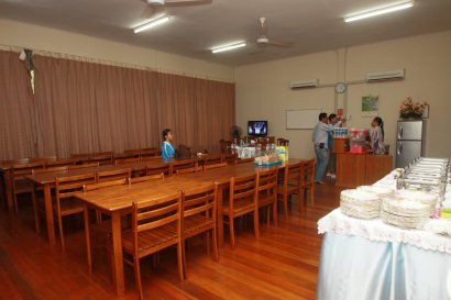
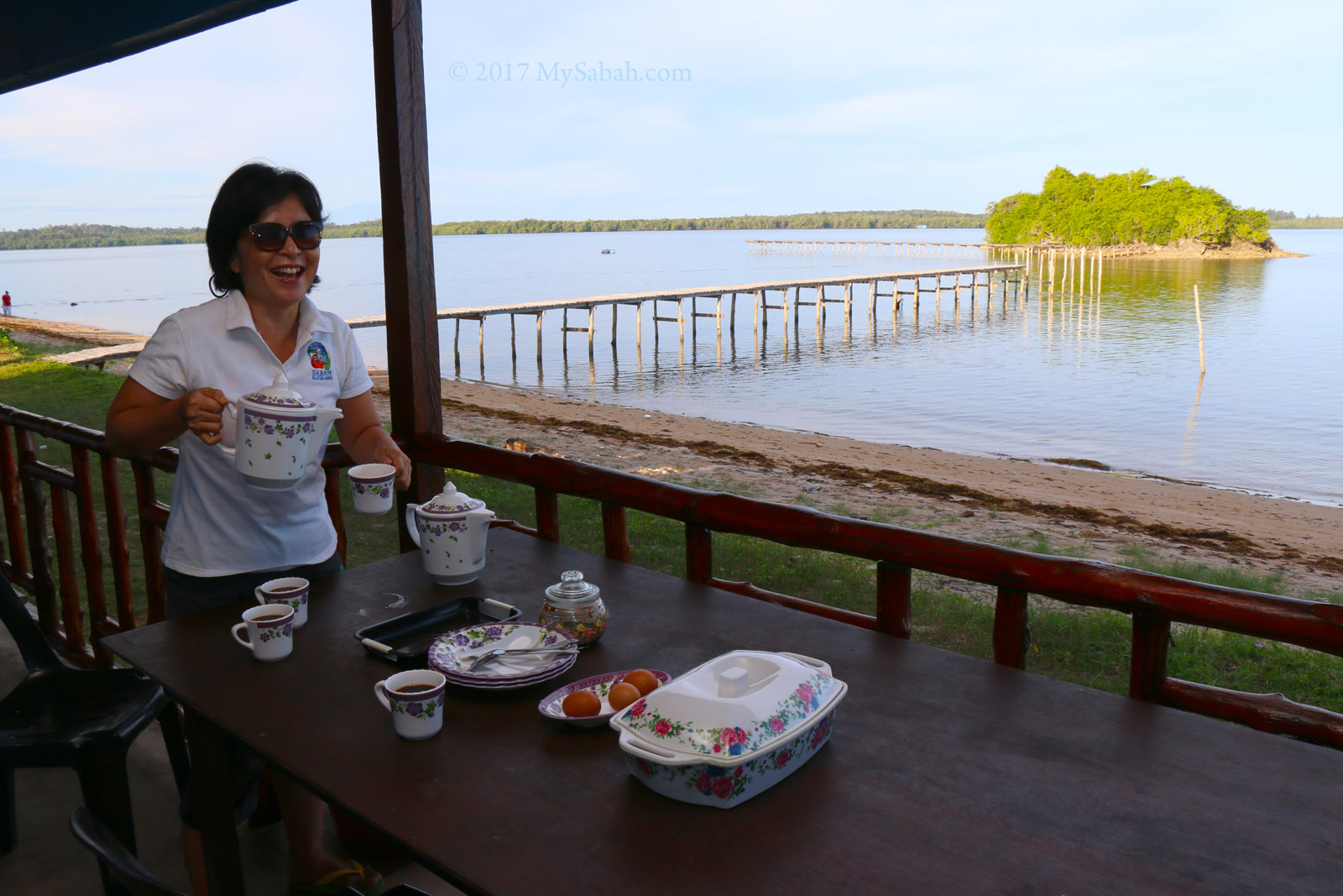
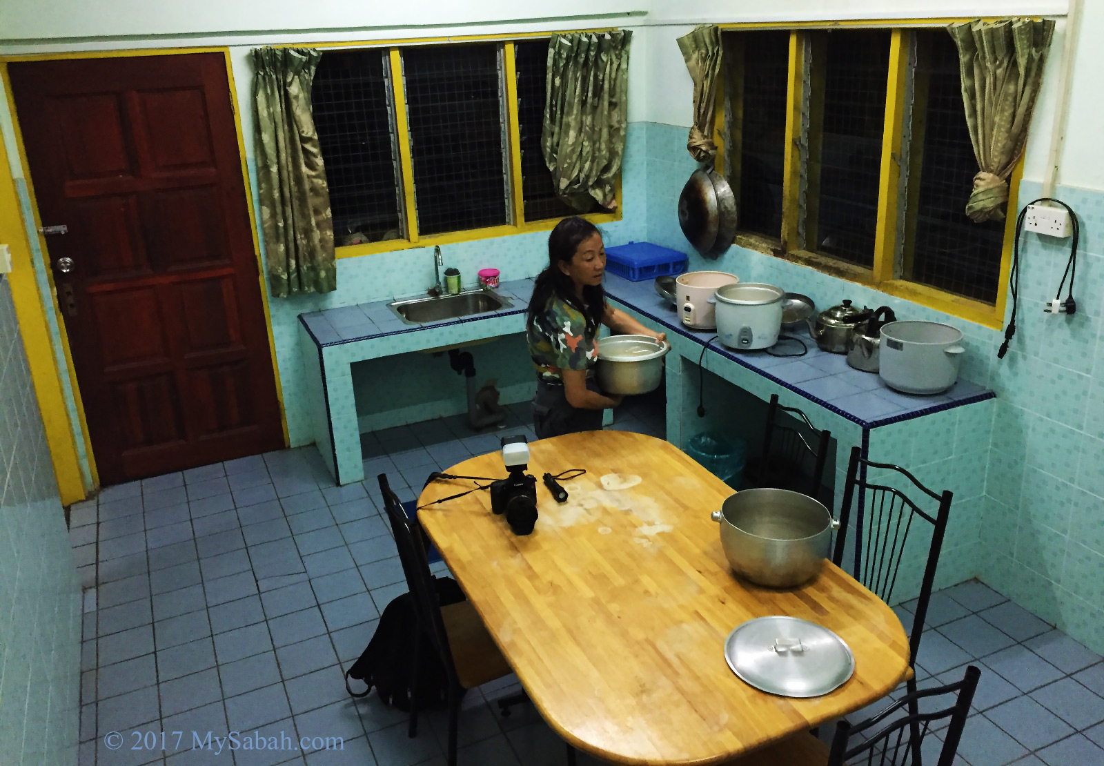
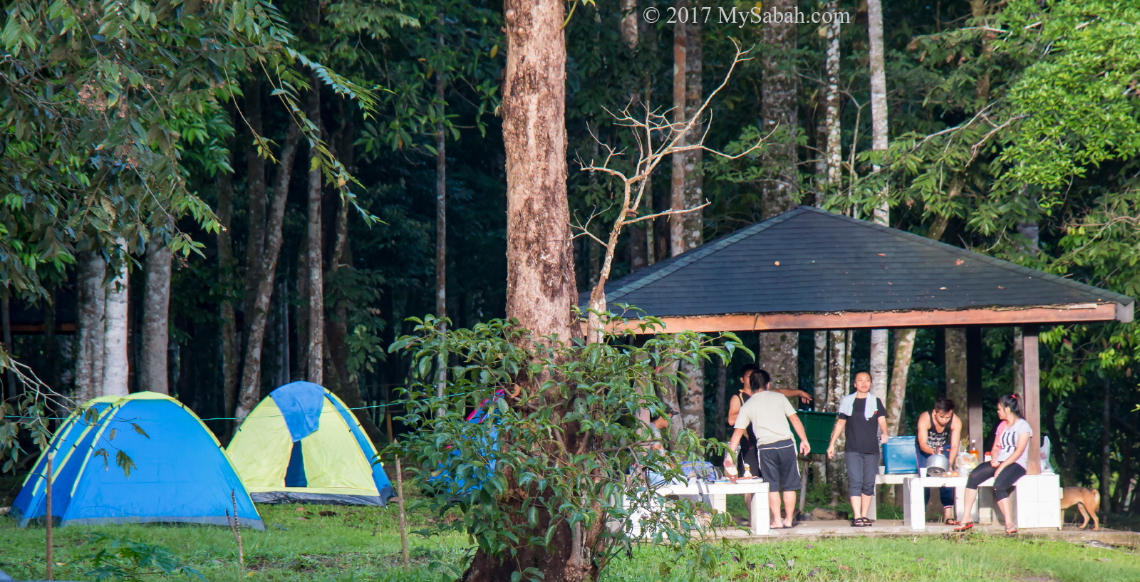
Dining hall of Kawag Danum Rainforest Lodge

Kawag means cursed place. Locals believe that the forest there is resided by Bunian people, the elf-like supernatural beings usually live in remote forest or mountain. People who went there would have weird dream or gone missing. Don’t worry. Nowadays Kawag is a tourist-friendly destination.

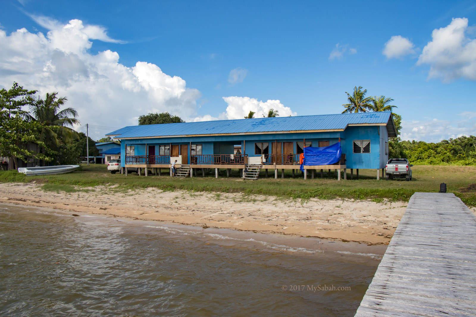
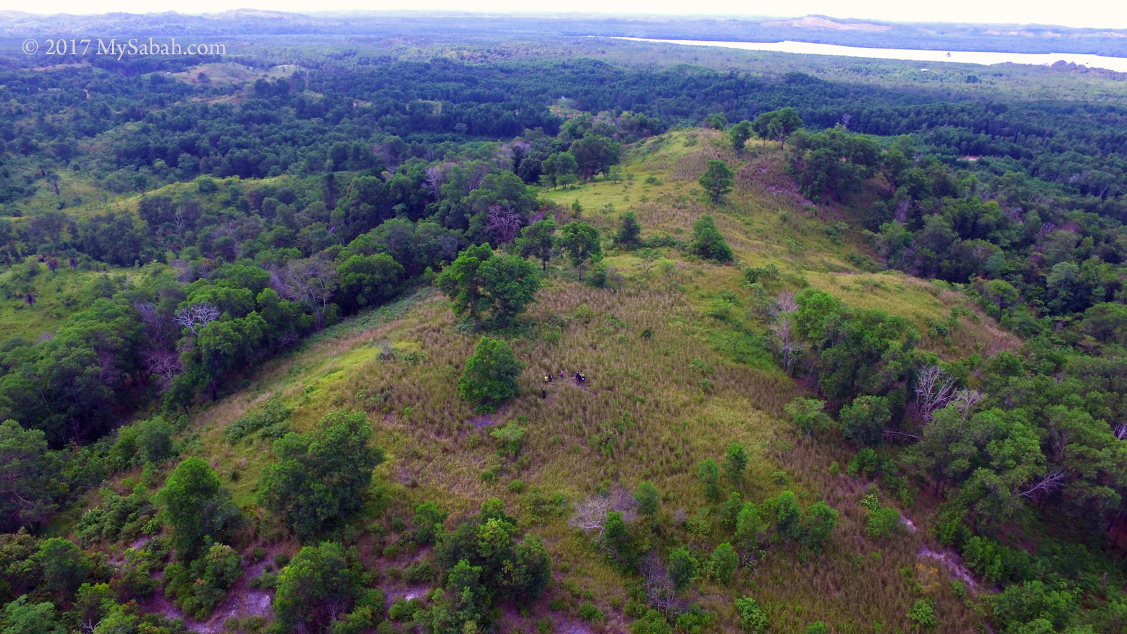
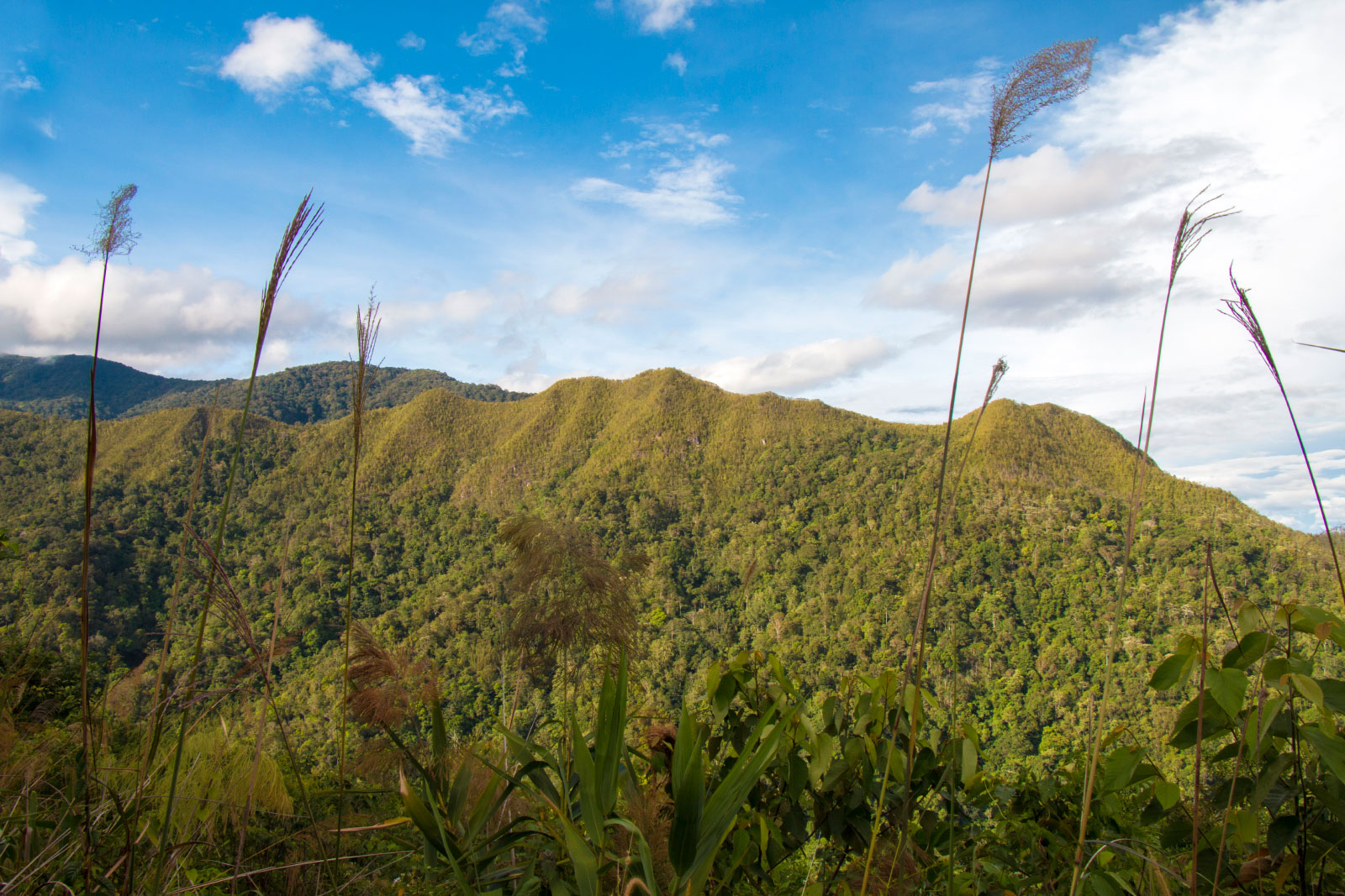
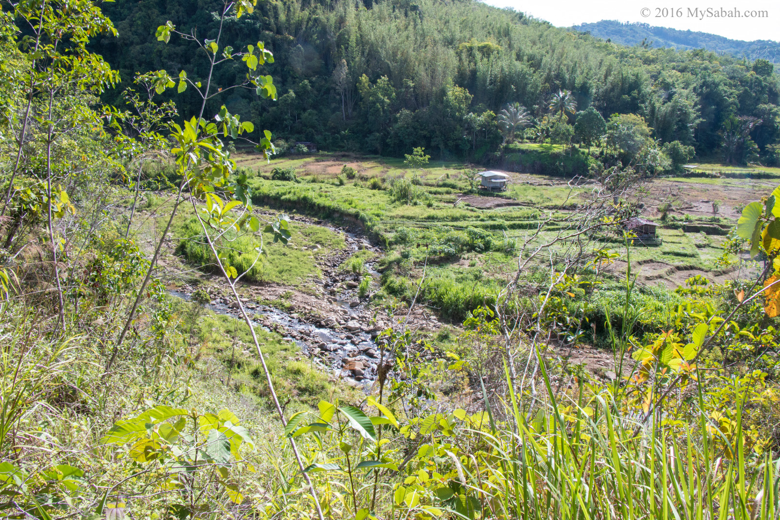
Kawag Danum Rainforest Lodge is located in the buffer zone of the Danum Valley

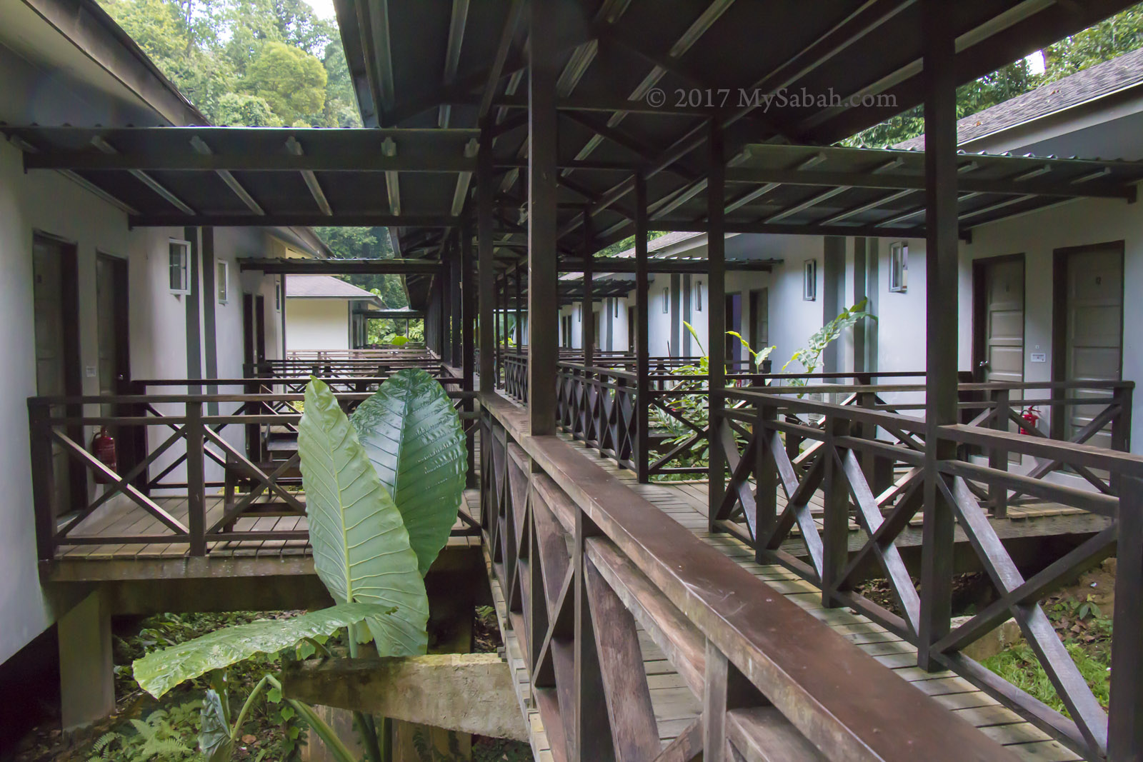
The rooms of Kawag Danum Rainforest Lodge

One of Kawag’s highlight is good chance of seeing the highly endangered Bornean pygmy elephants. I saw a herd of them at the roadside while I was on the way to KDRL. When our van approached, the adult elephants formed a defensive circle with the calf in centre. Too bad I didn’t see any orangutan, which said to be abundant in Malua forest.

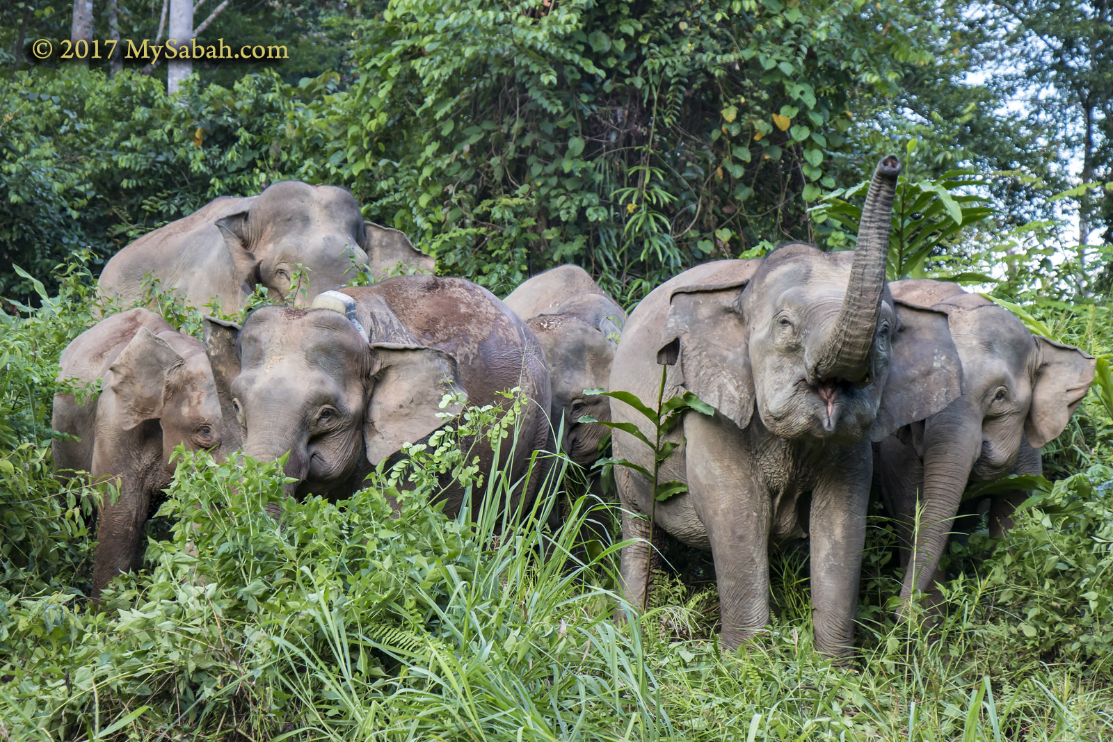
A group of elephants near Kawag. Note there is one with satellite collar for tracking of migration

During my stay I saw a wild bearded boar named Rudy foraged around the lodge, and a Malay civet hunted insects attracted by the light. Everything there reminds visitors that they are in the wild.

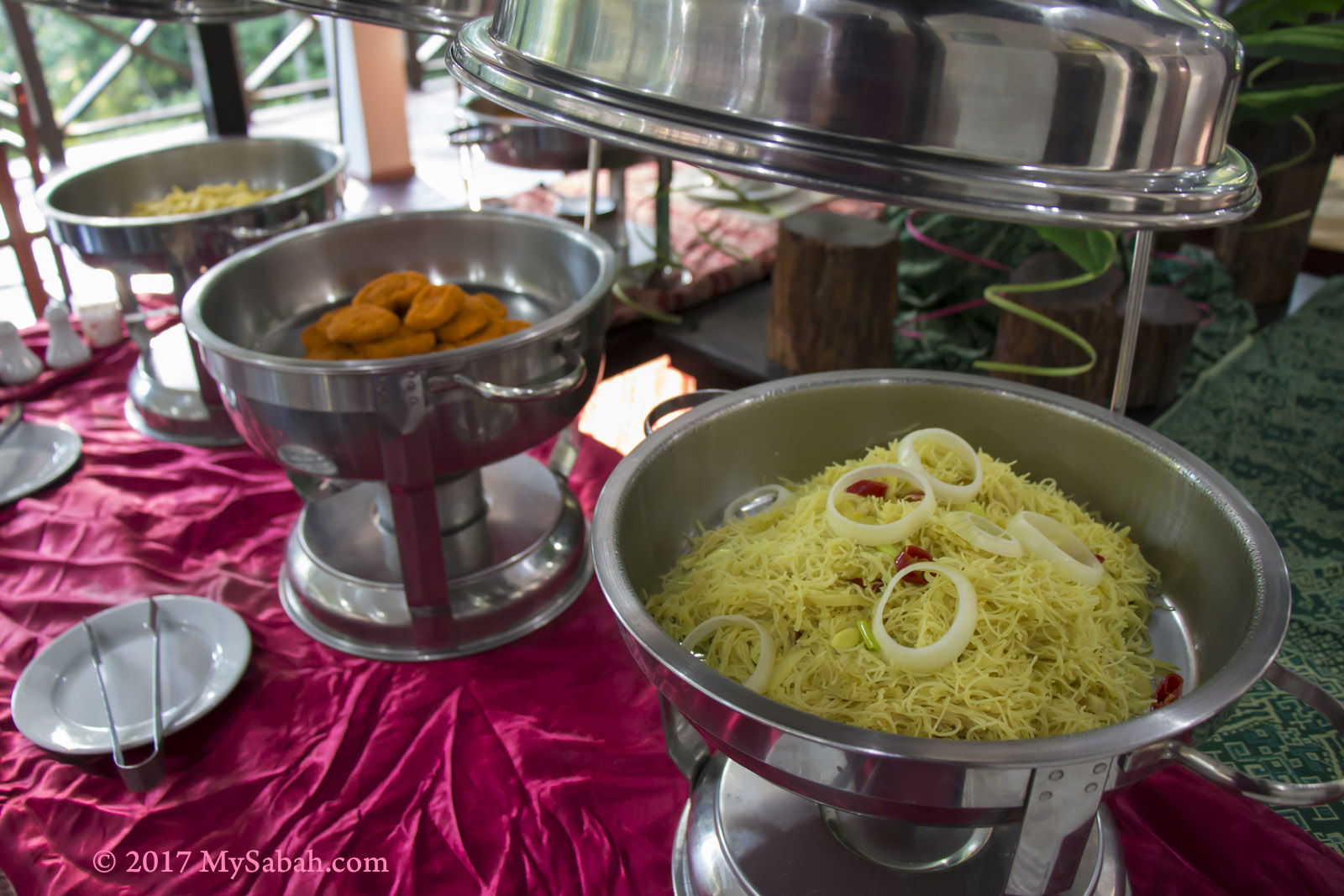
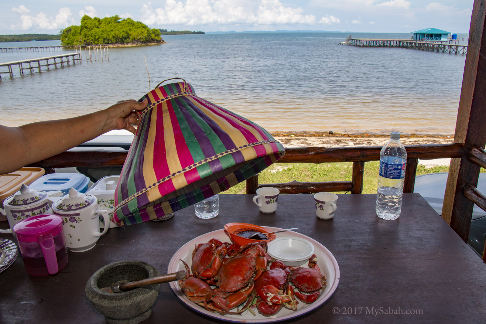
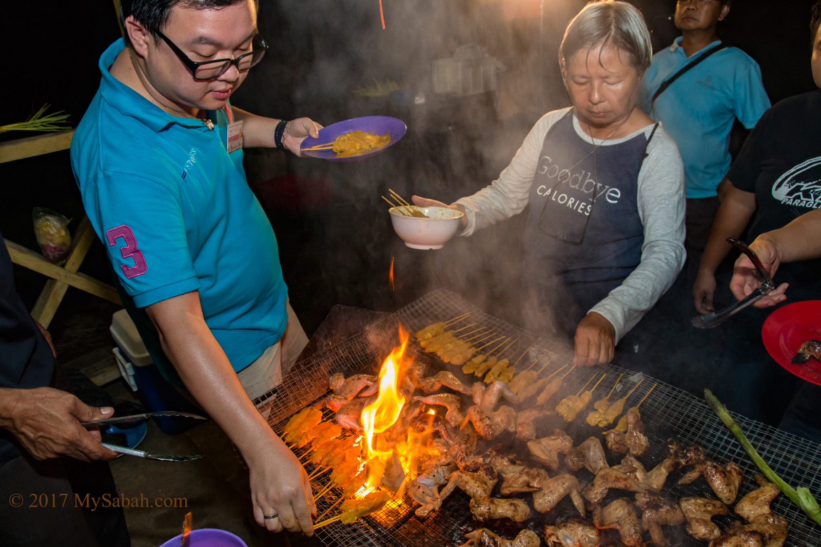
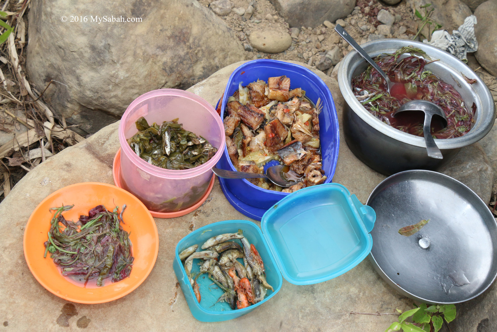
Meal served at restaurant of Kawag Danum Rainforest Lodge

Nature-Based Activities

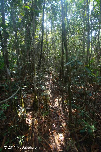
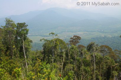
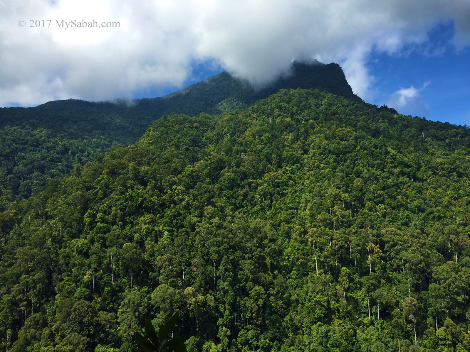
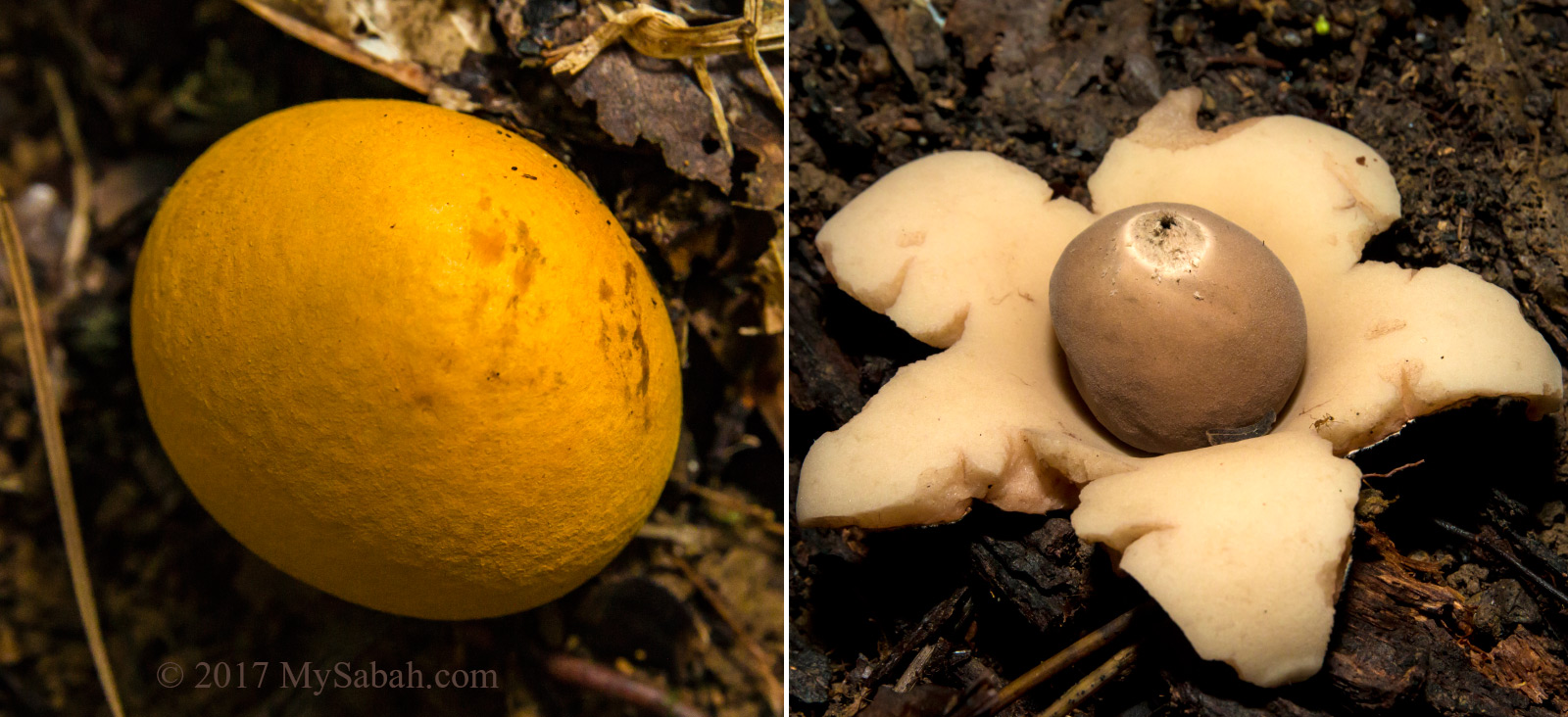
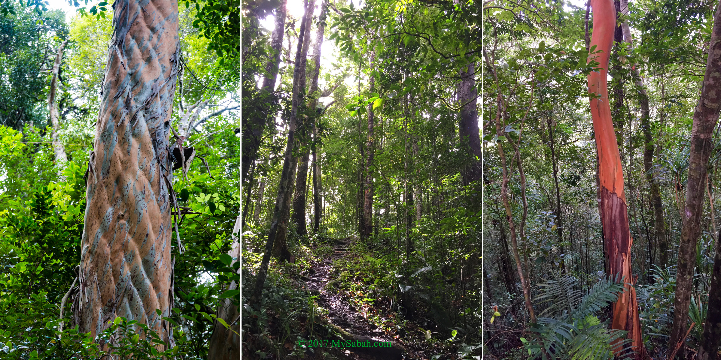
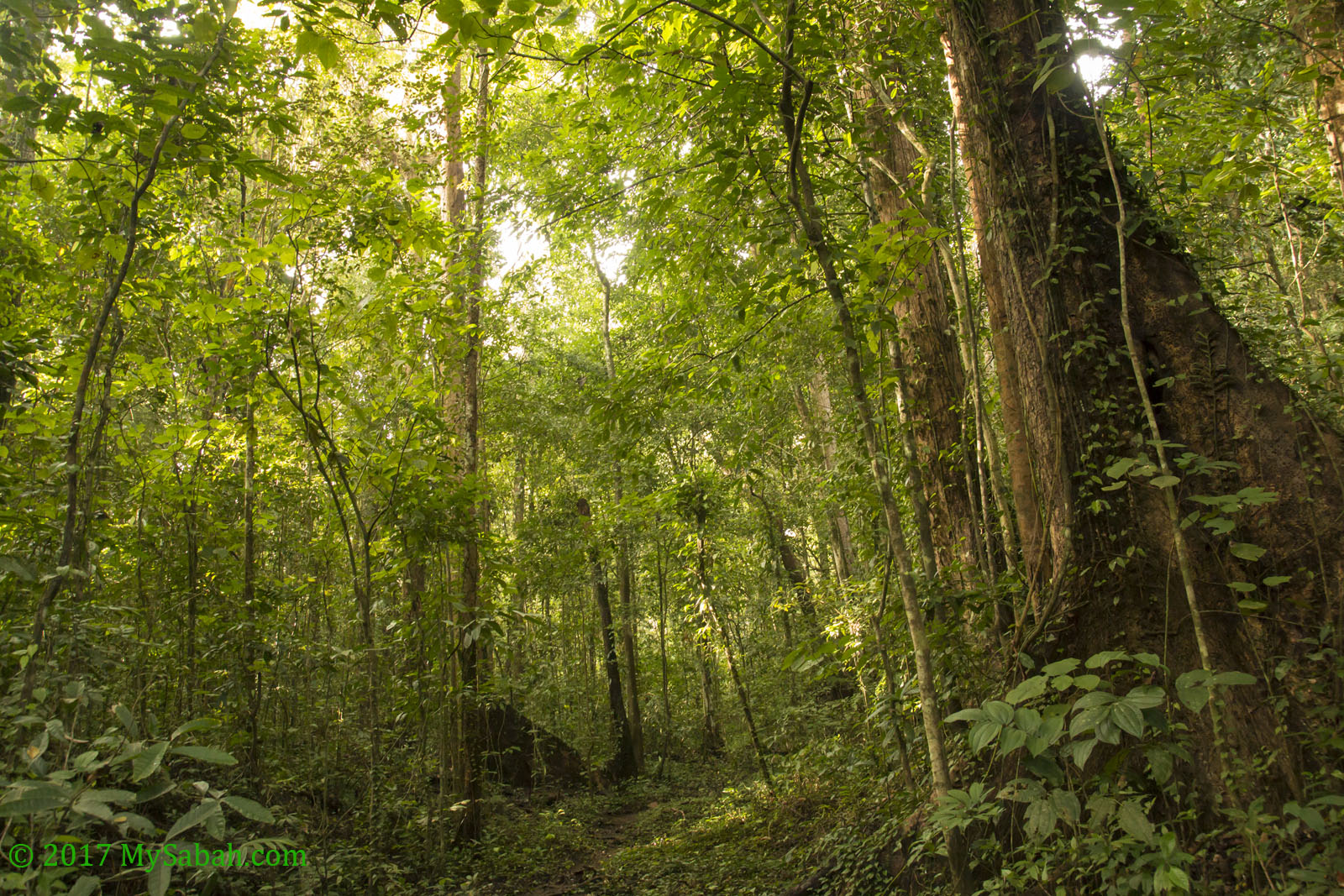
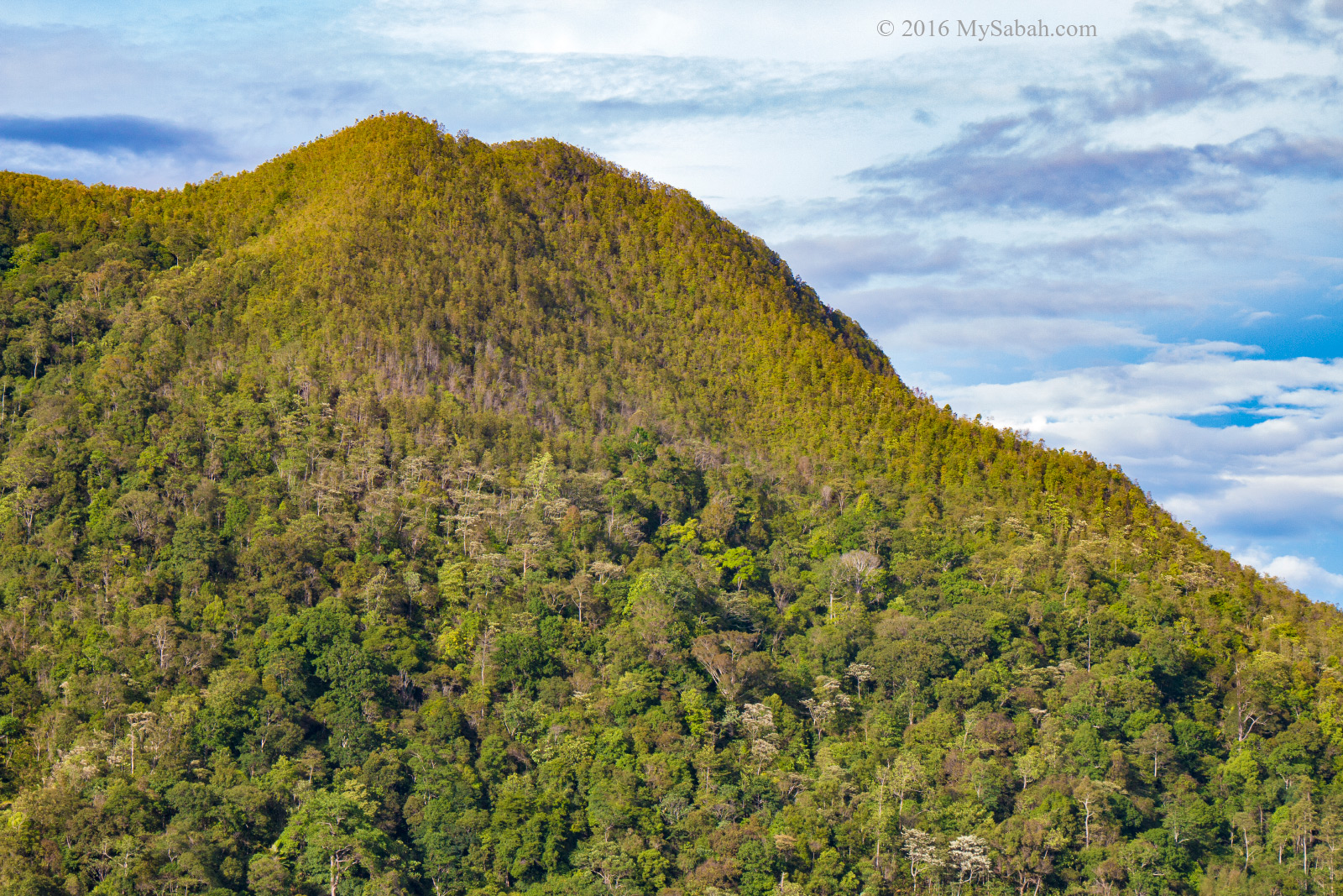
Though this lodge is surrounded by secondary forest, the forest is regenerated well and thick enough to house rich variety of flora and fauna. Kawag rainforest is characterised by younger trees and denser undergrowth but have almost everything a typical primary rainforest offers.

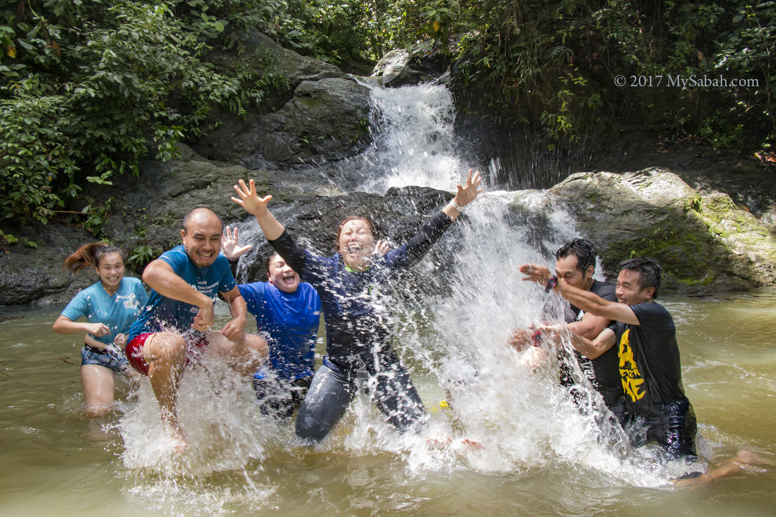
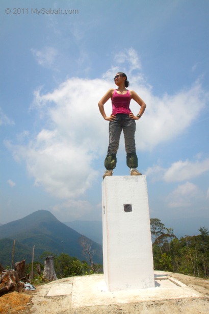
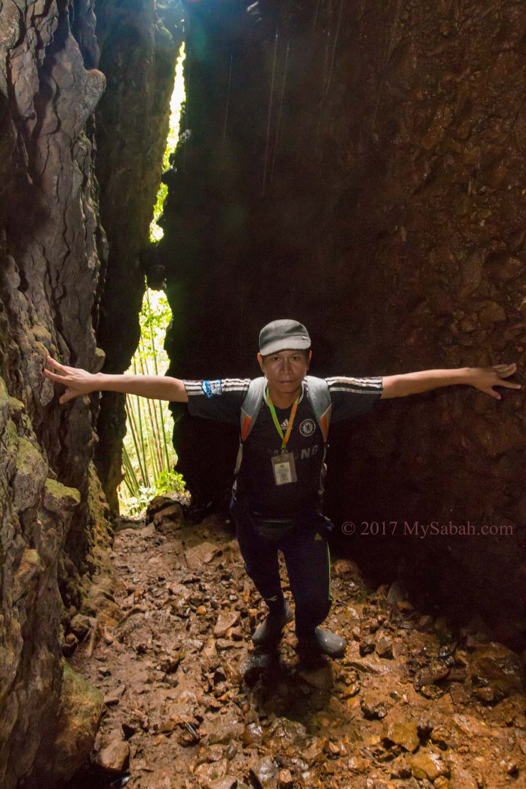
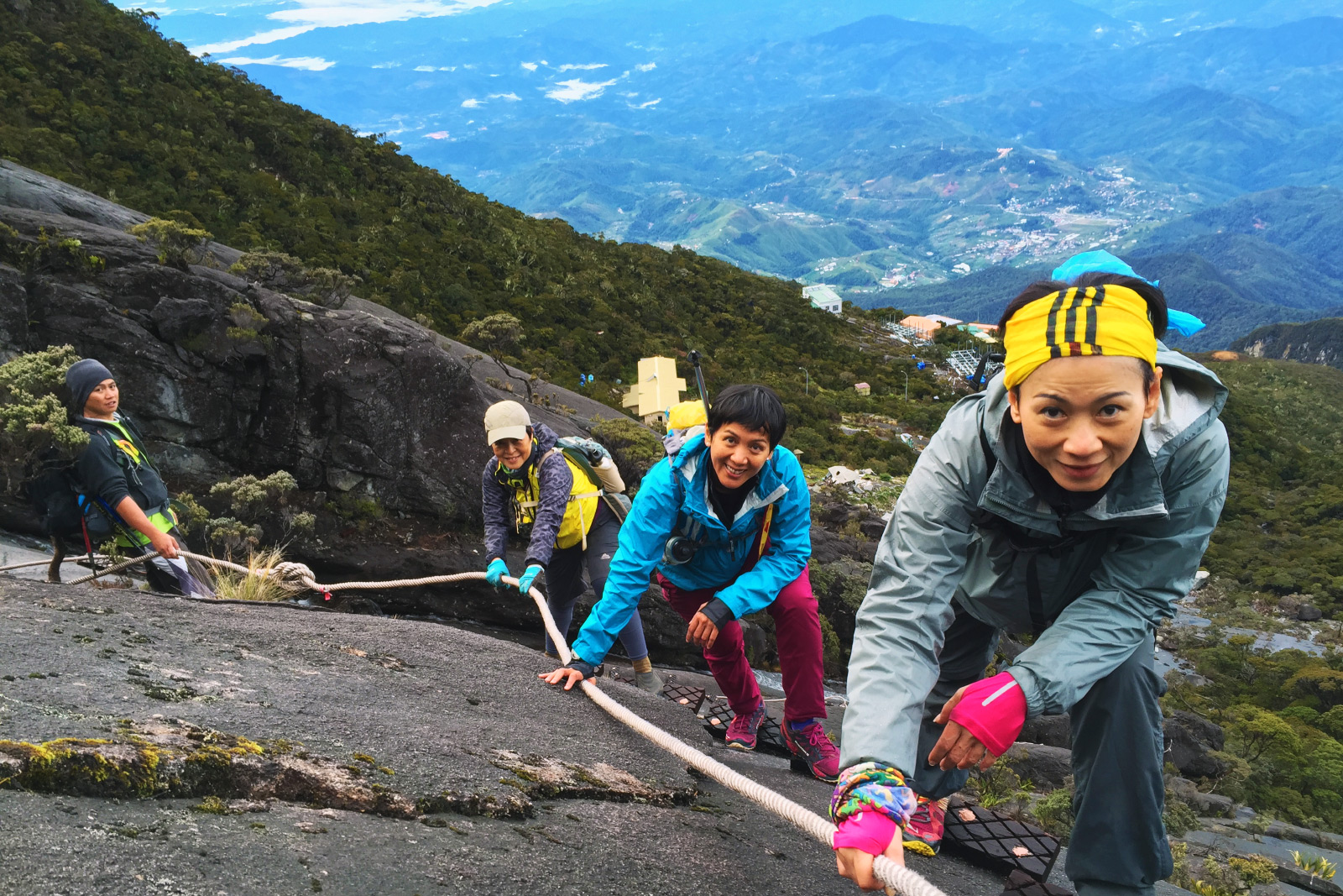
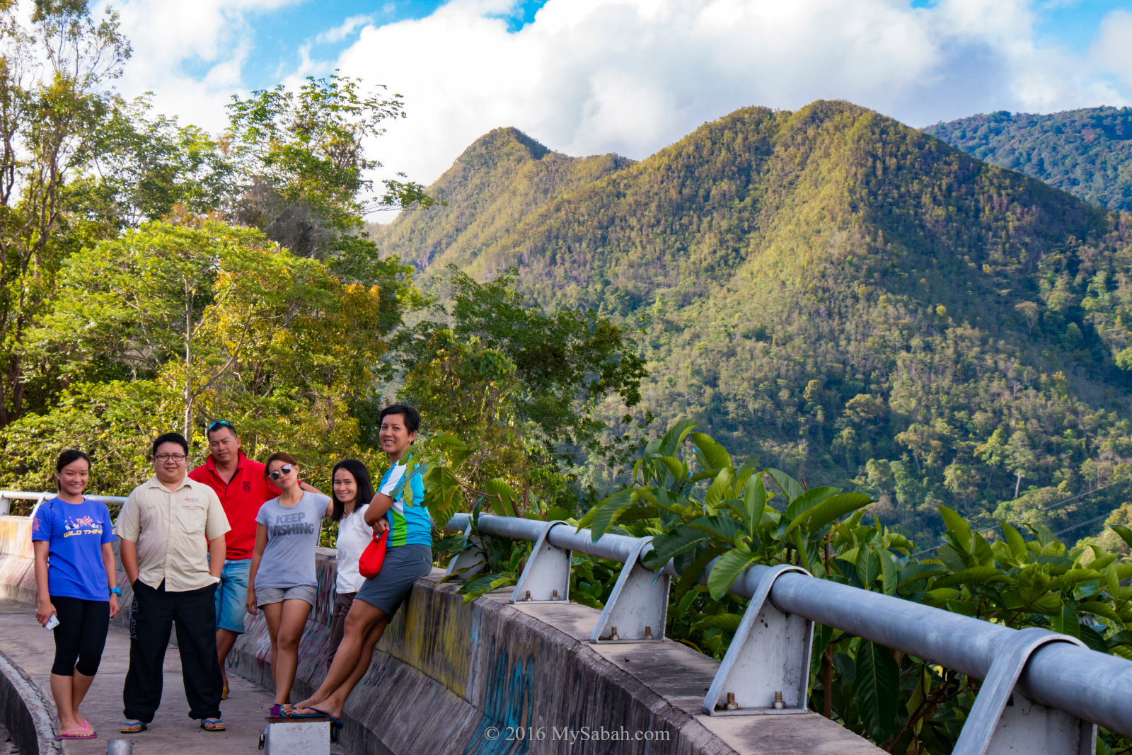
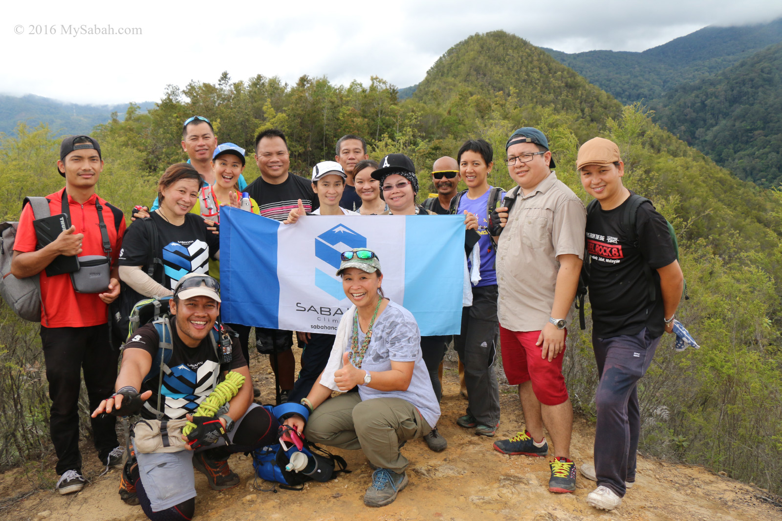
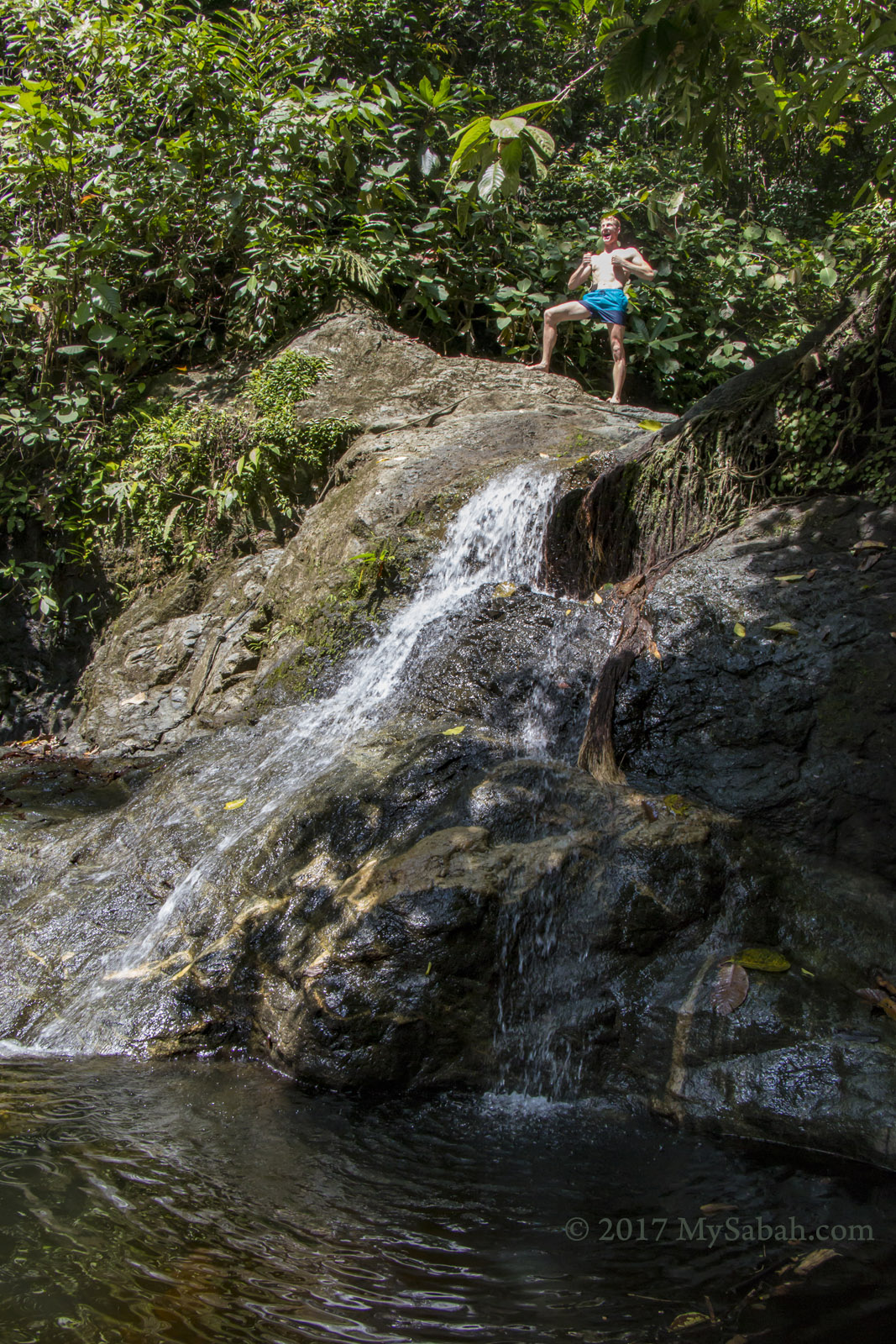
Crazy people lol. Photo says it all.

Therefore, you can have fun with many nature adventures such as jungle trekking, night safari, bird watching and river tubing, to fully experience the jungle. I really enjoyed my 3 days 2 night stay with KDRL. Thanks to their in-house guides, Mr. Donny and Ms Hana, for sharing the interesting stories of every animal and plant in Kawag.
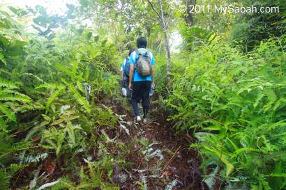
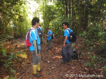
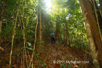
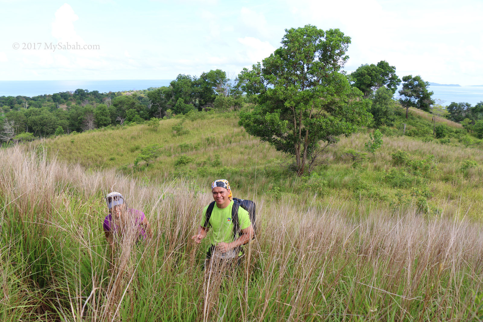
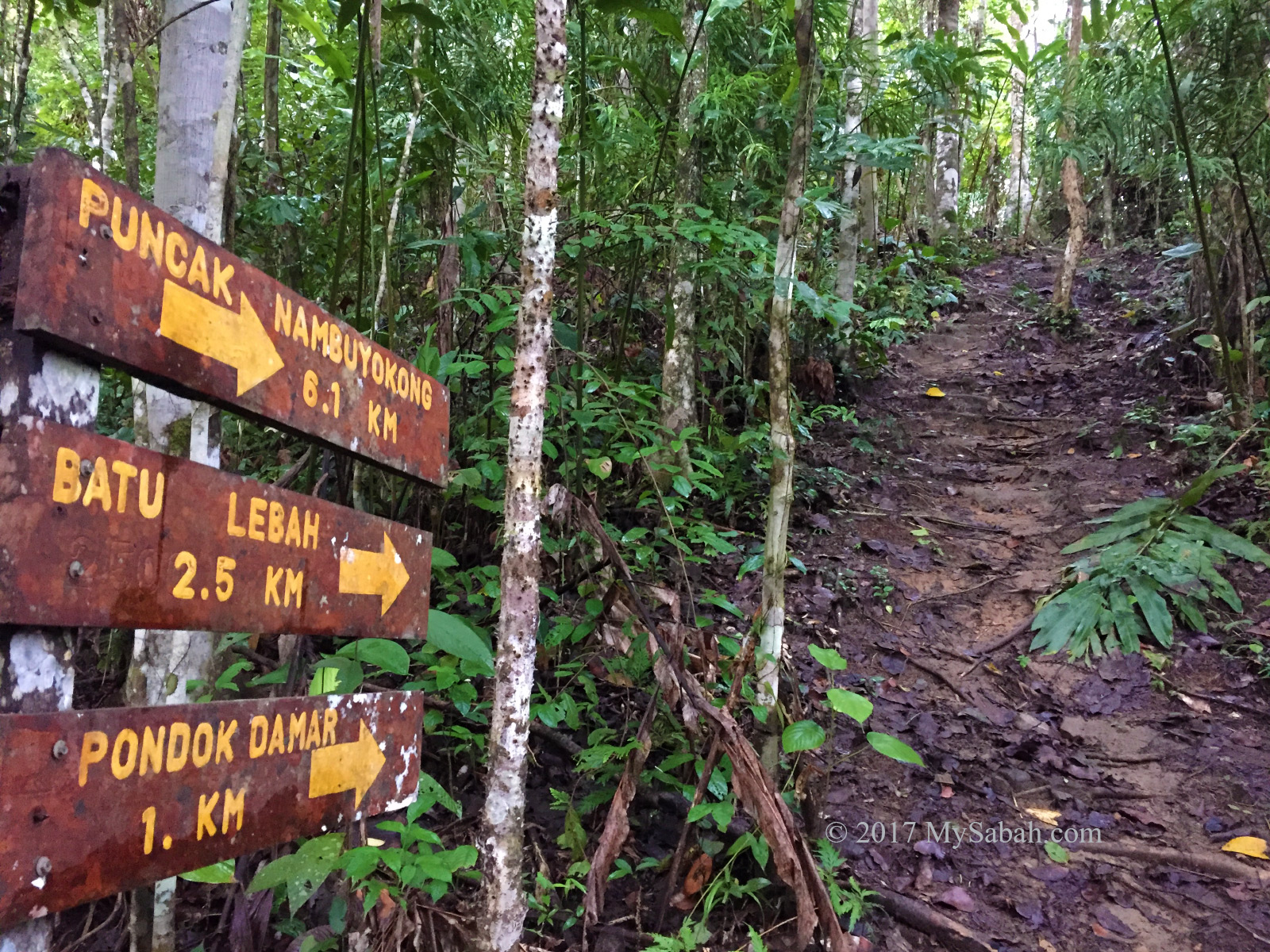
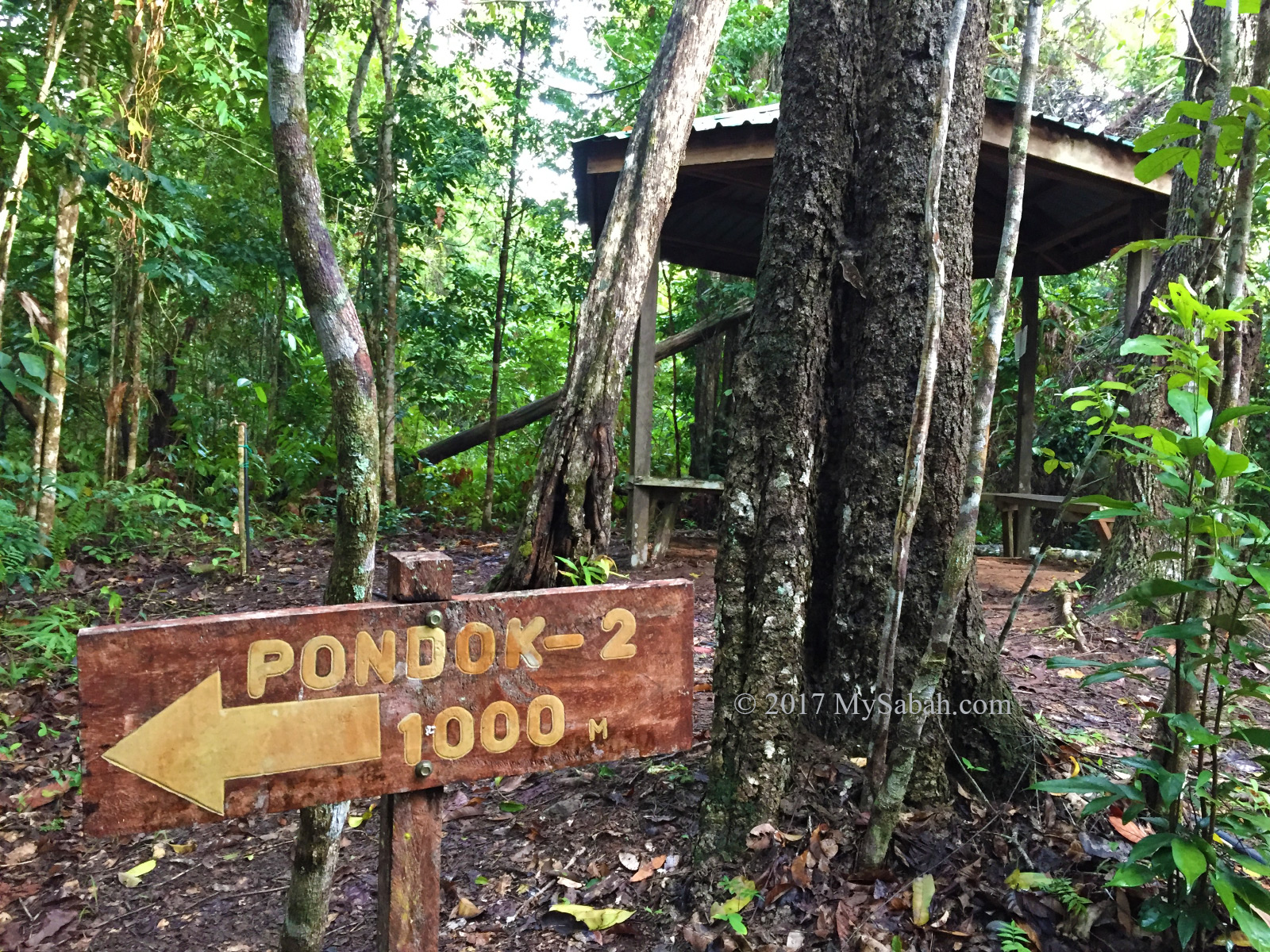
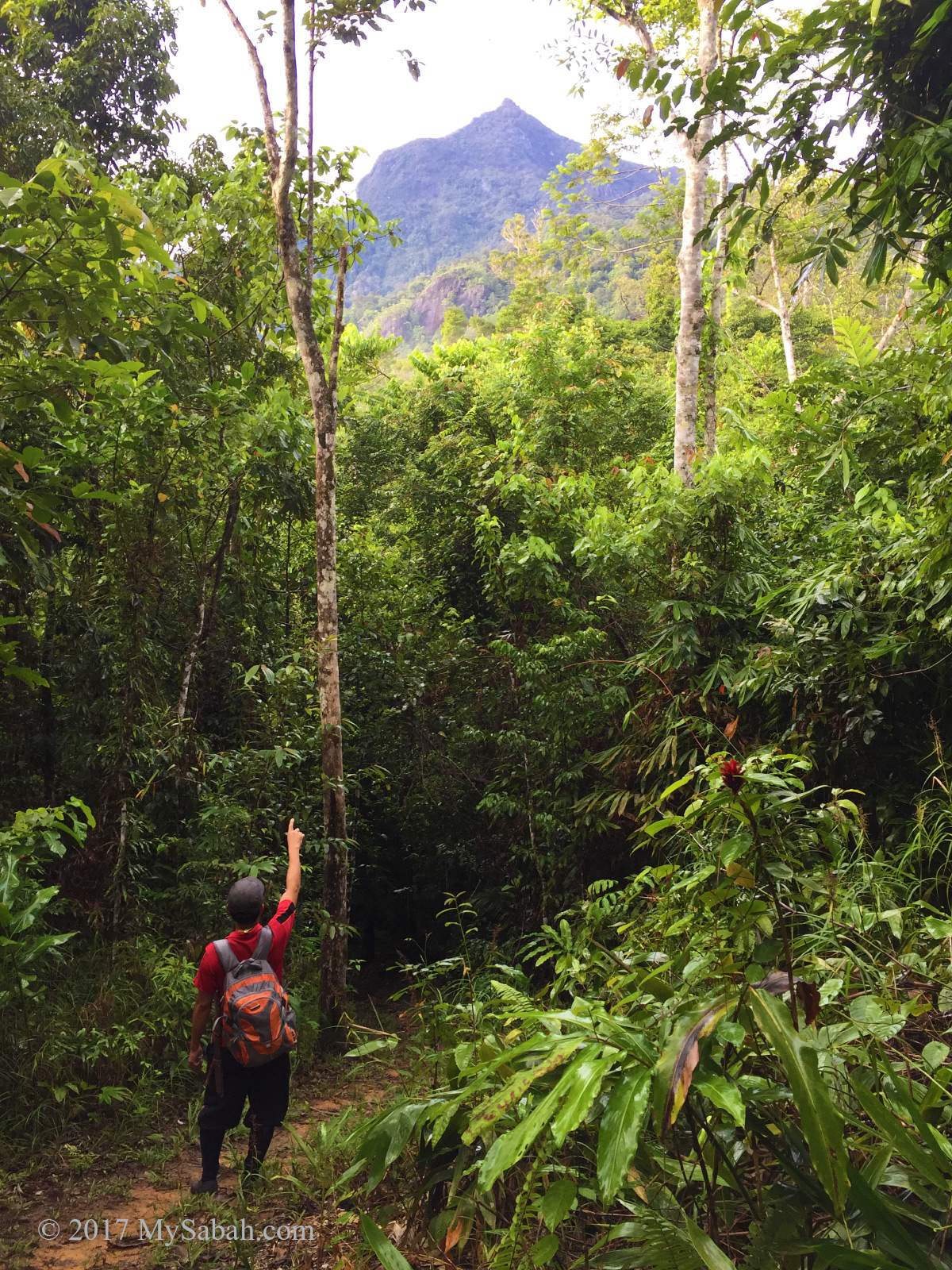
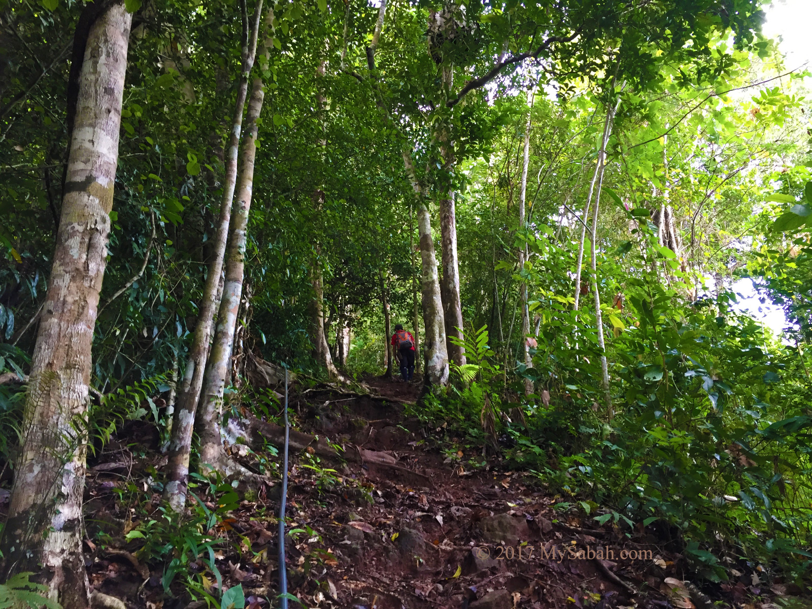
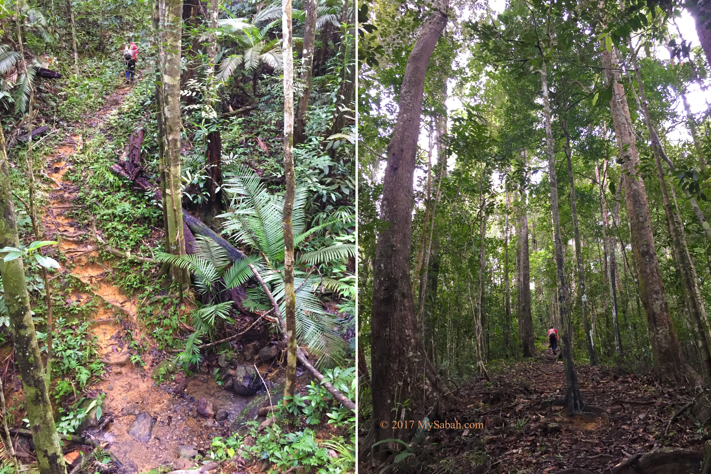
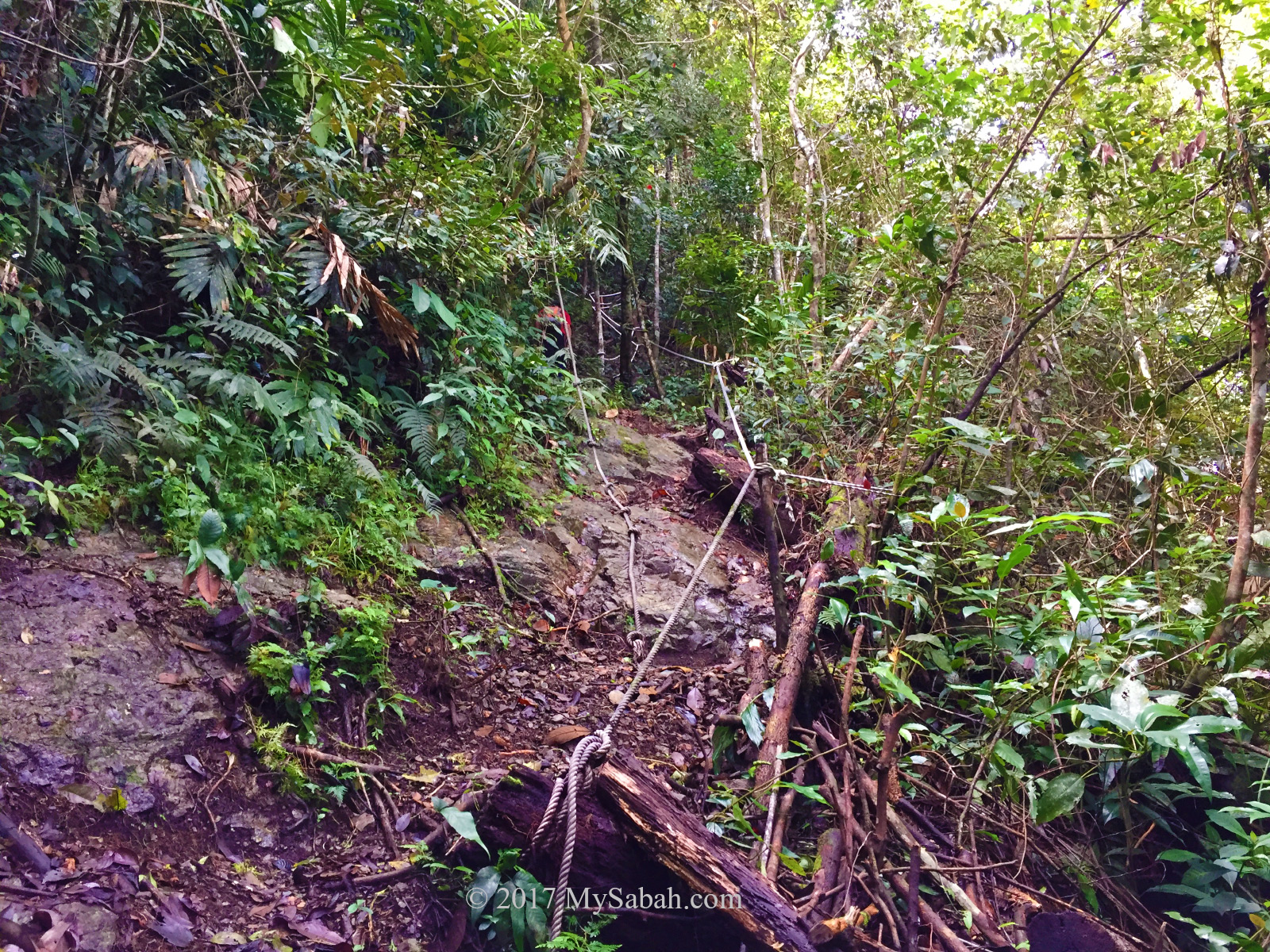
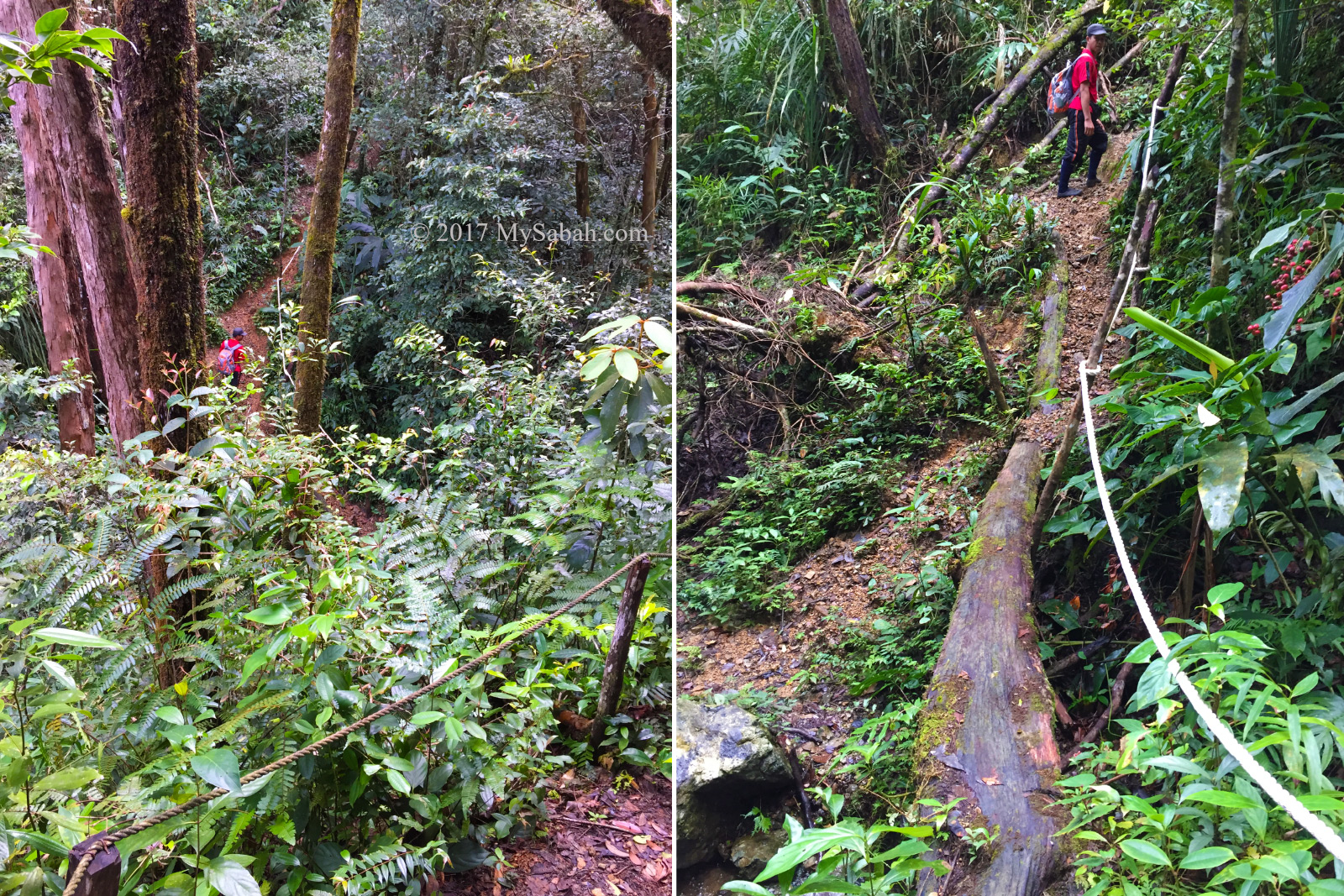
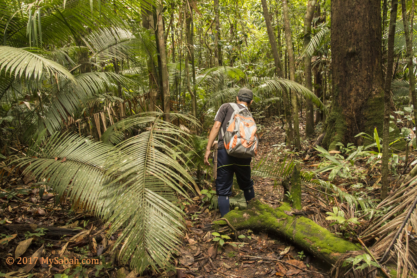
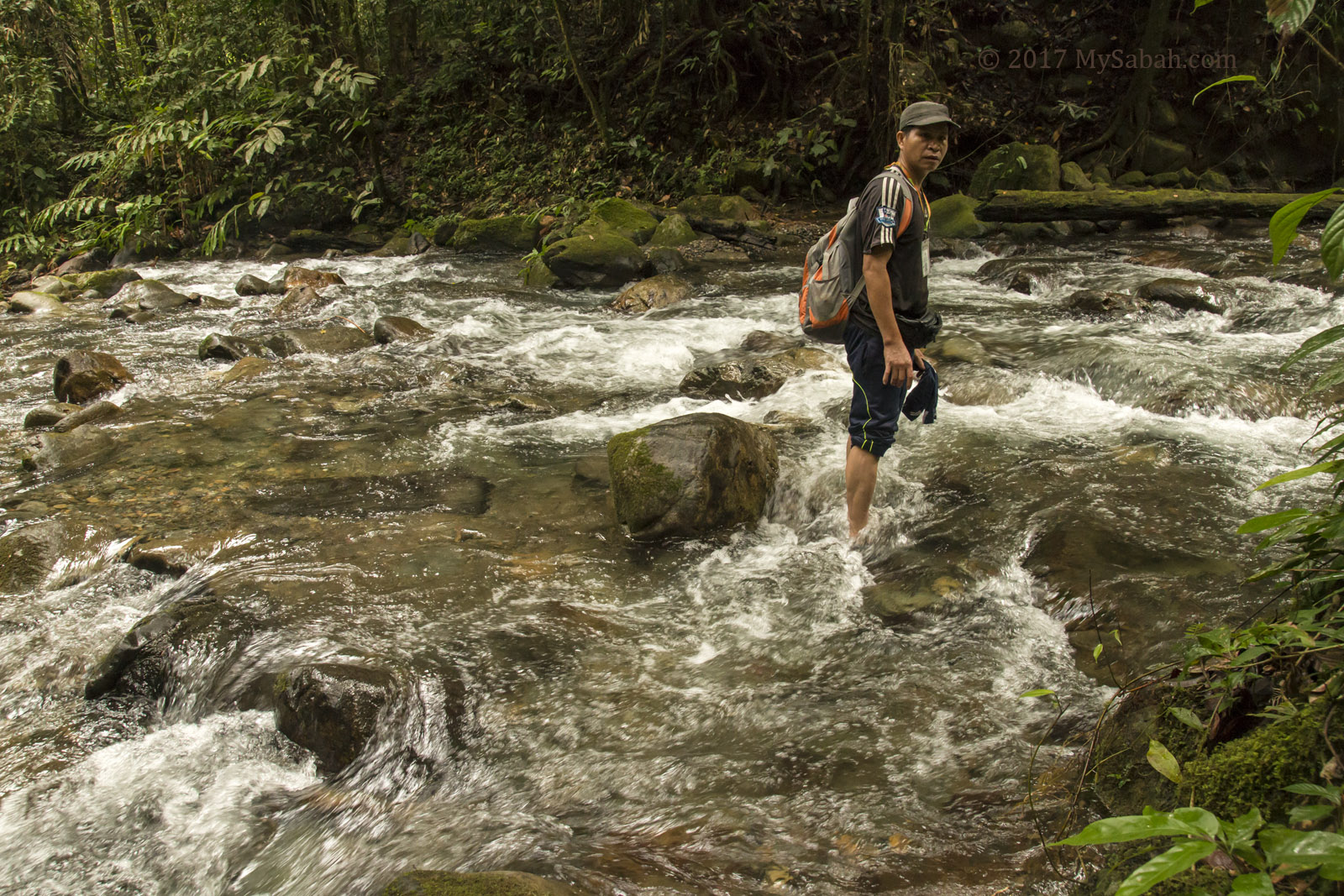
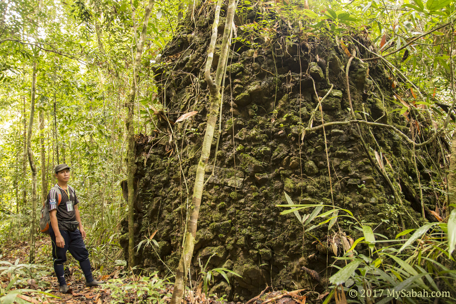
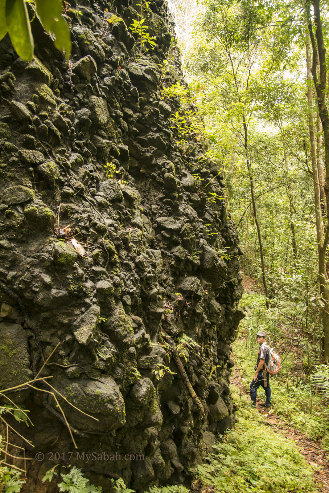
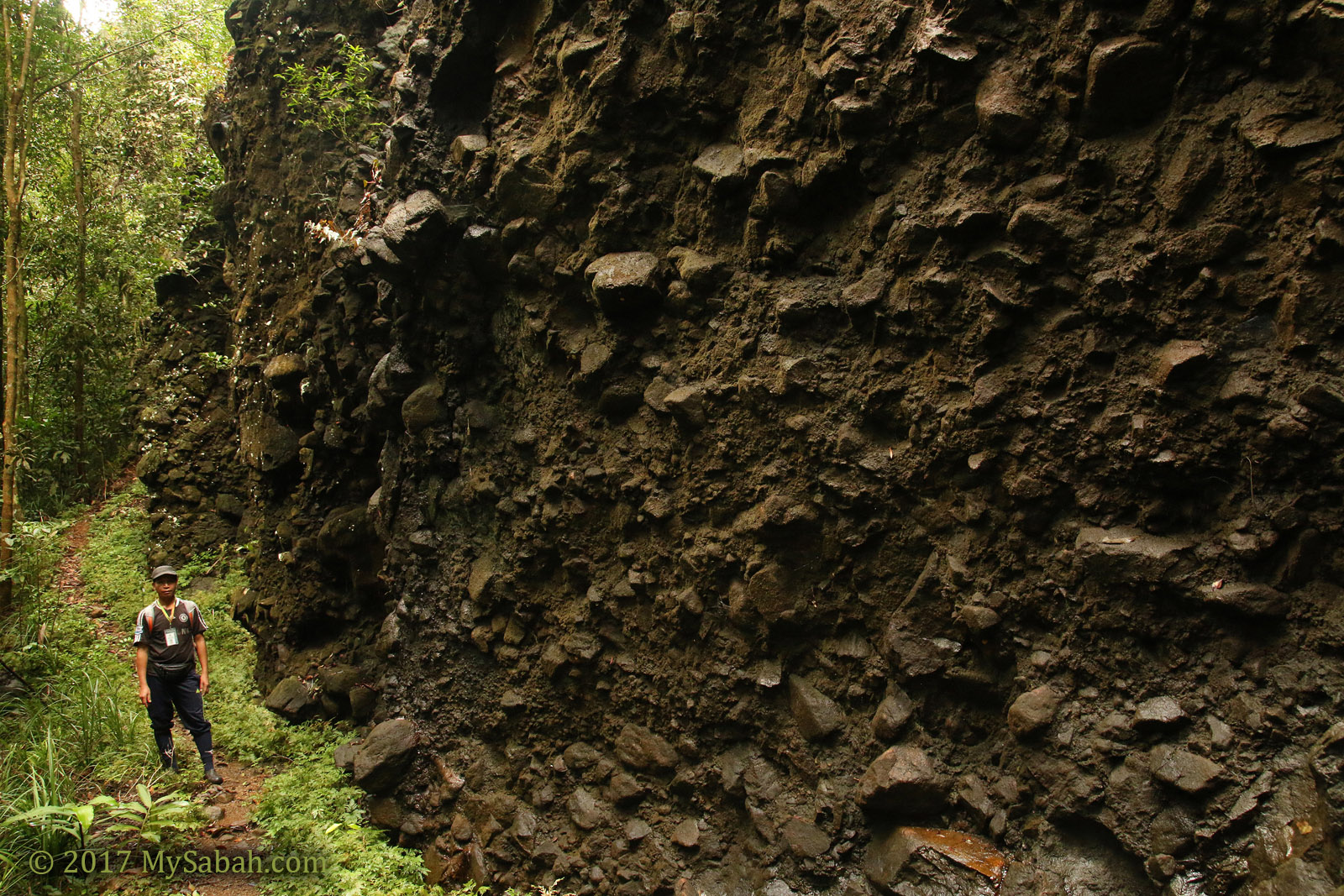
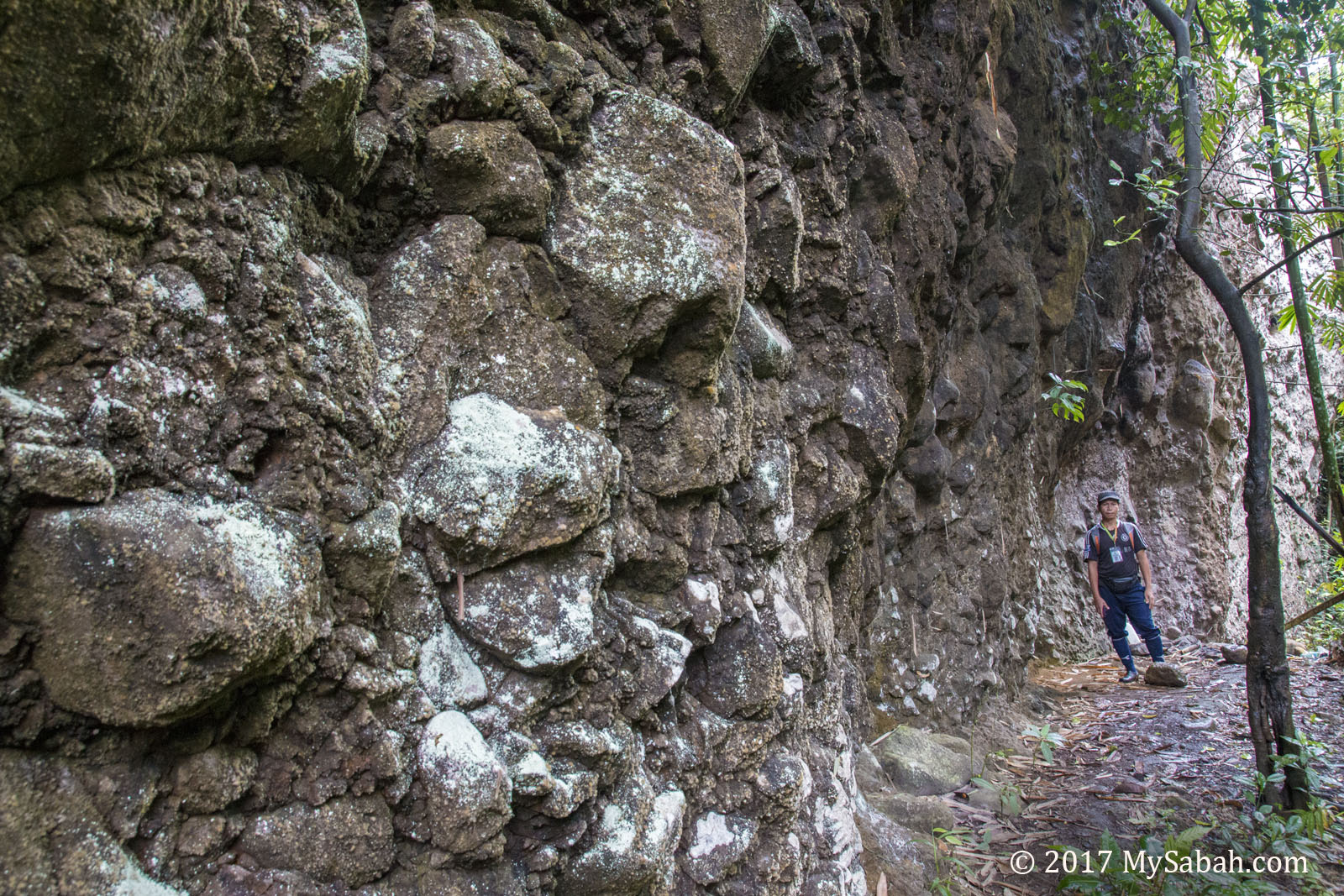
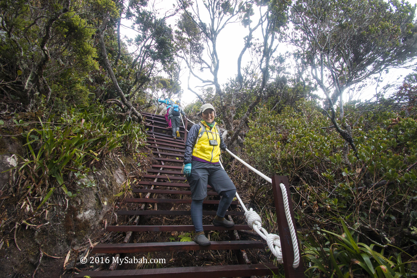
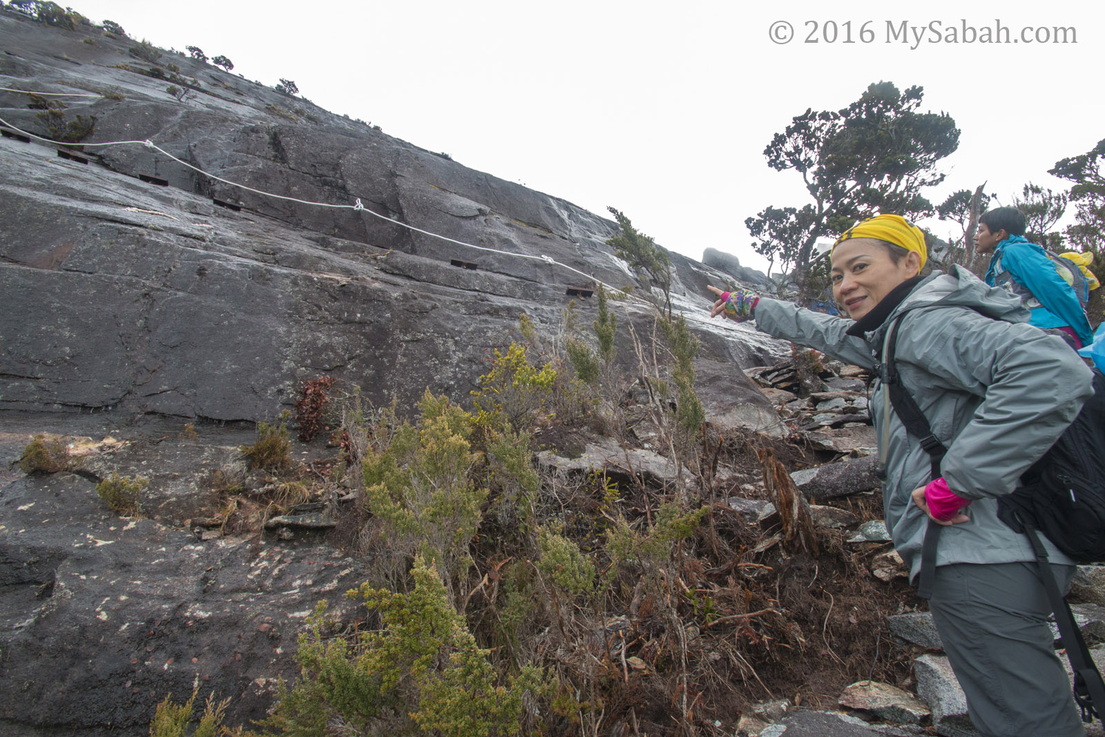
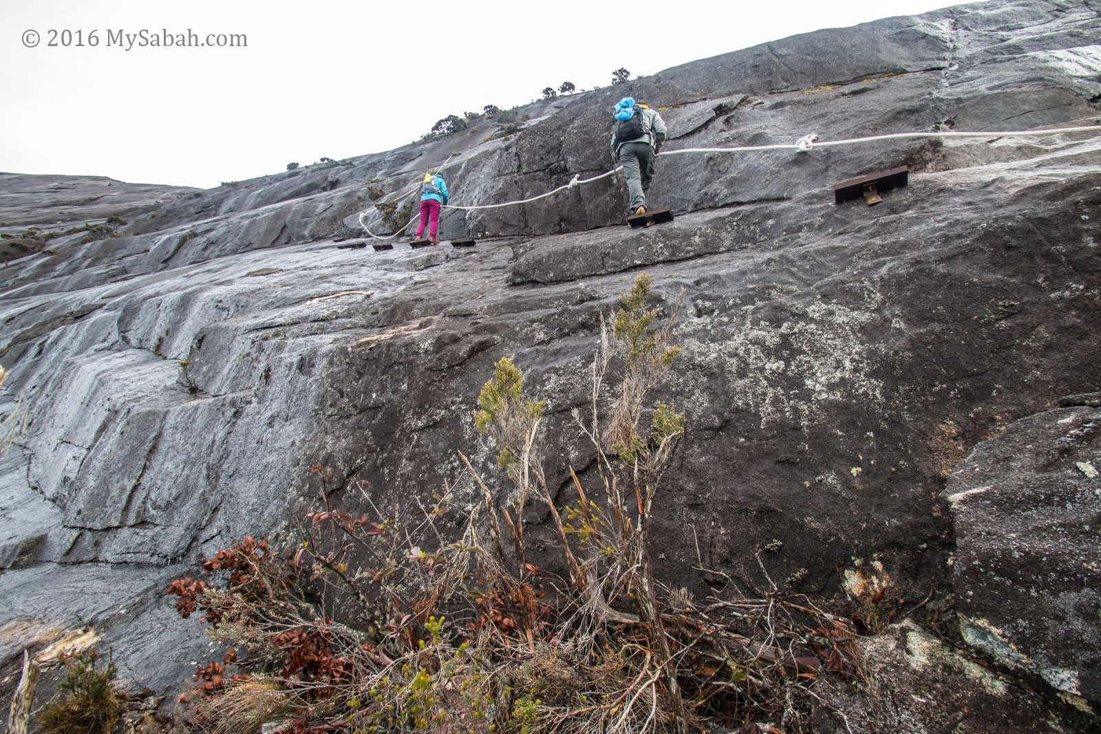
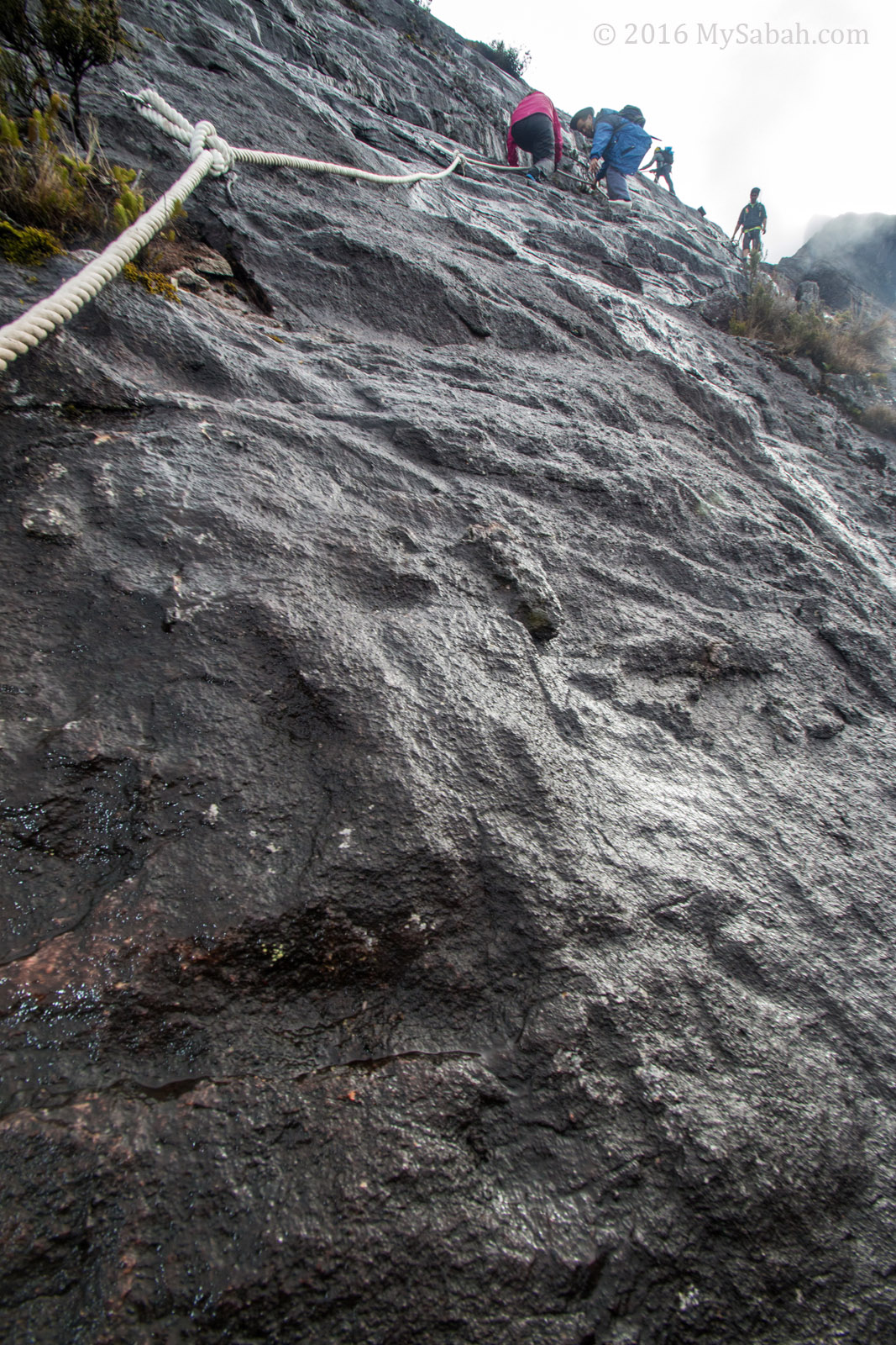
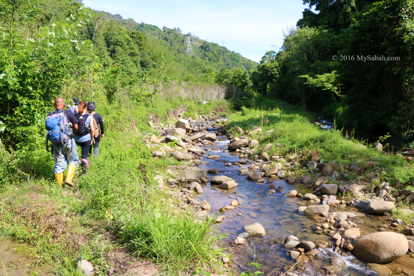
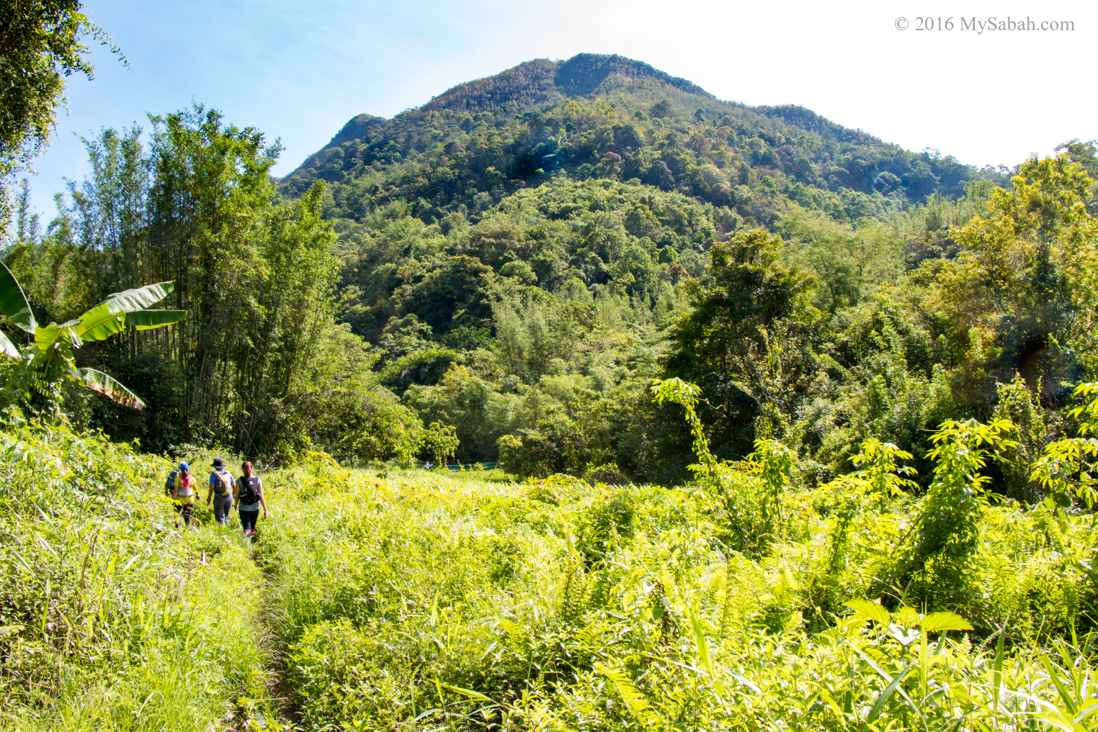
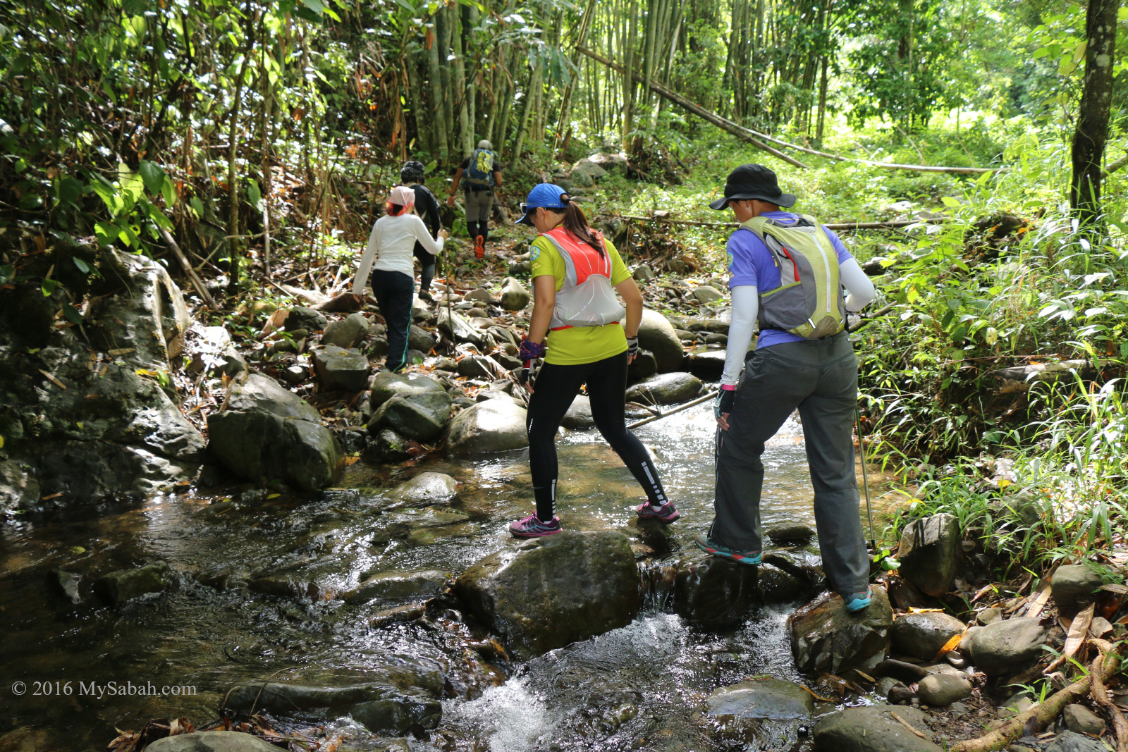
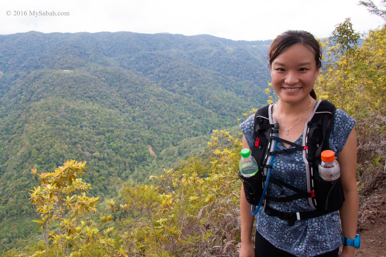
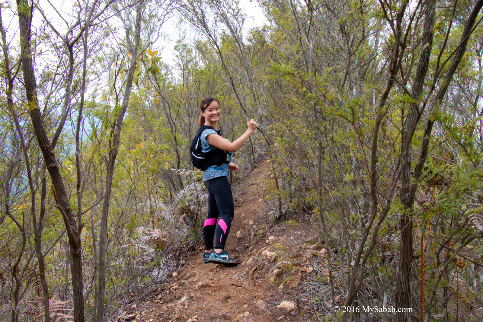
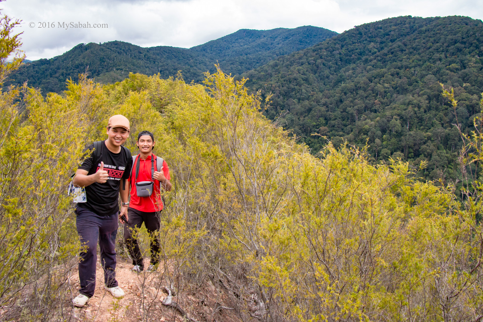
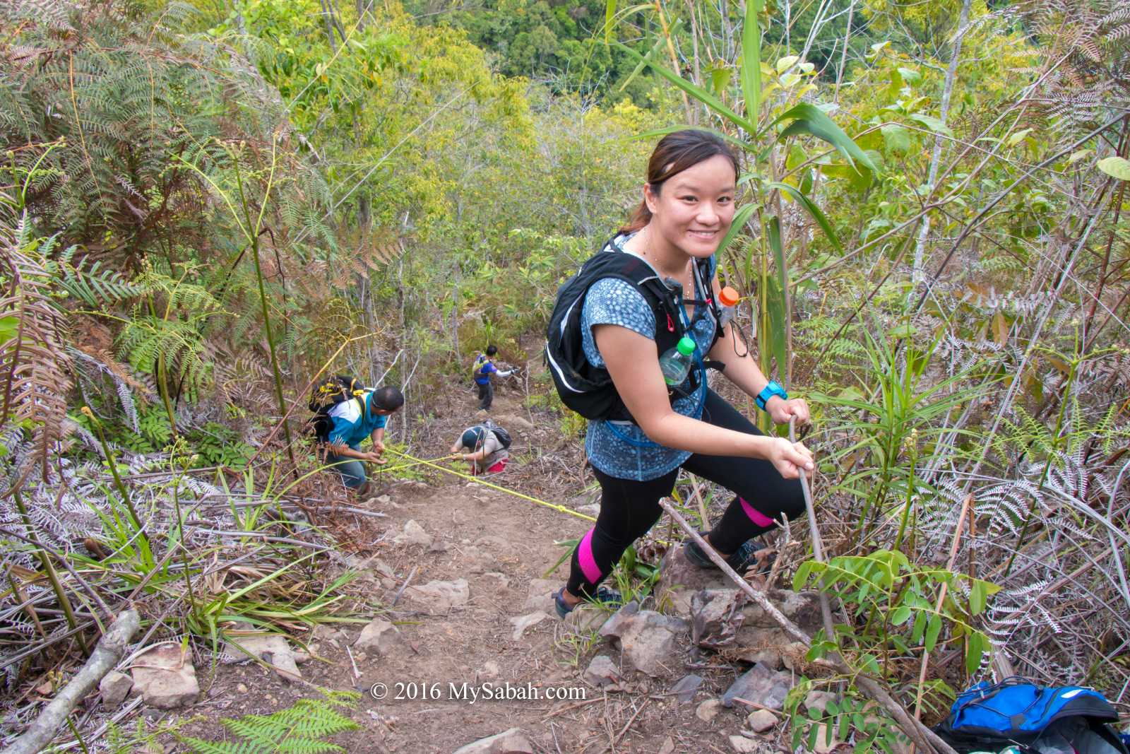
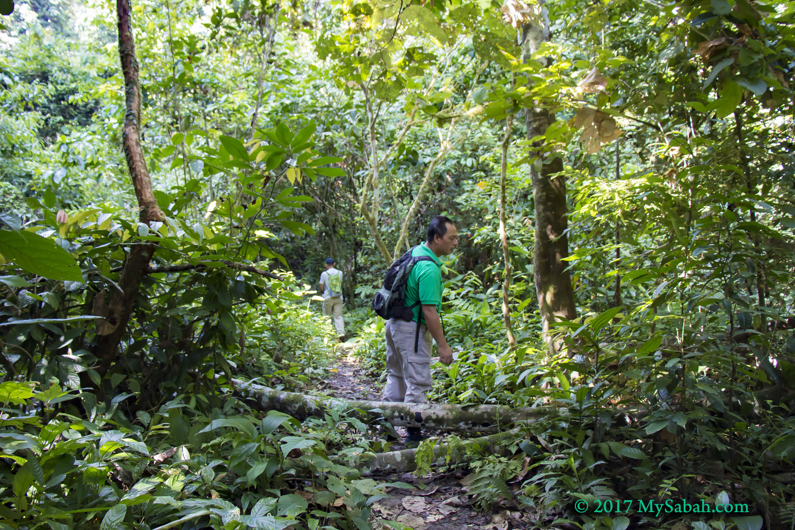
1. Exploring Jungle

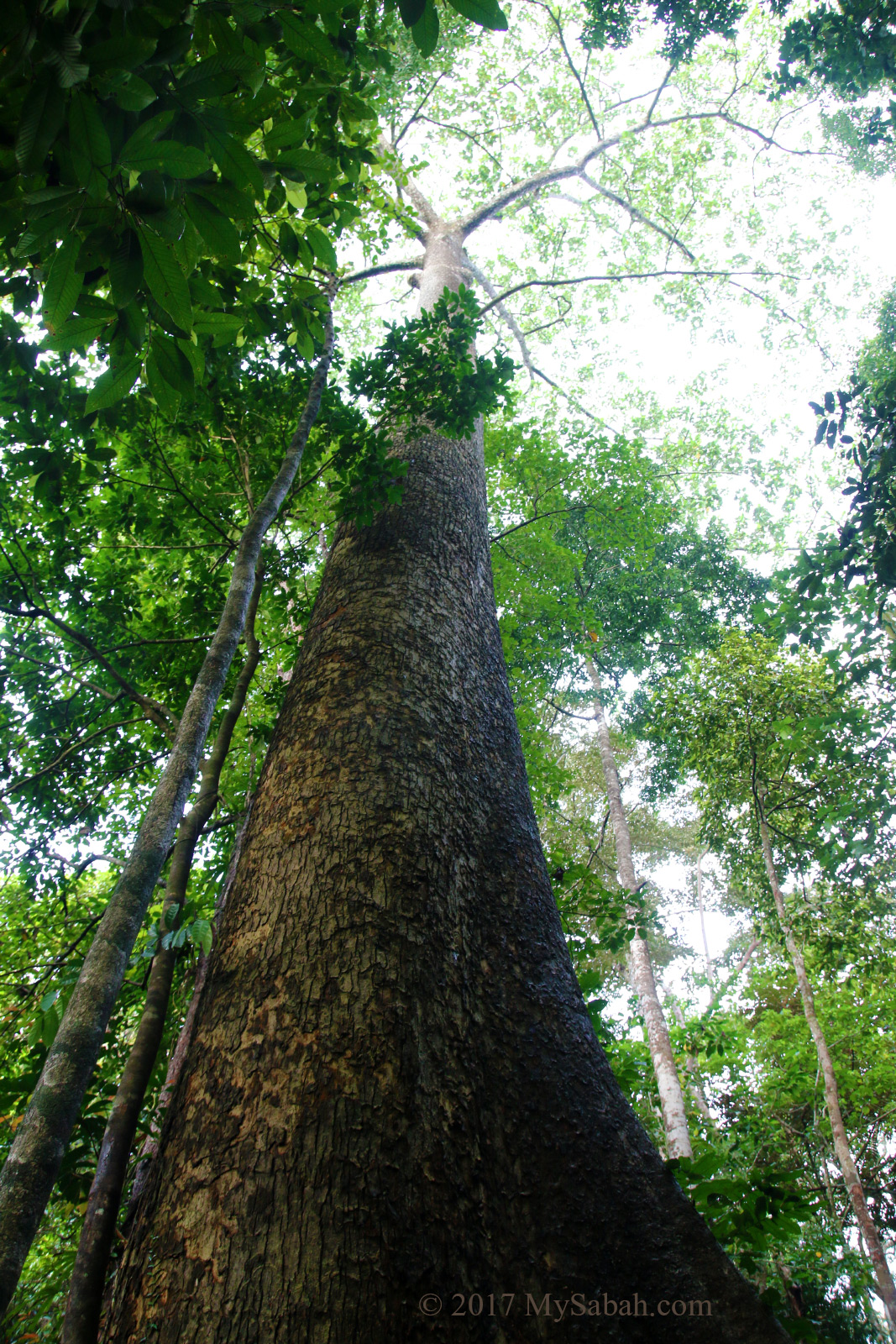
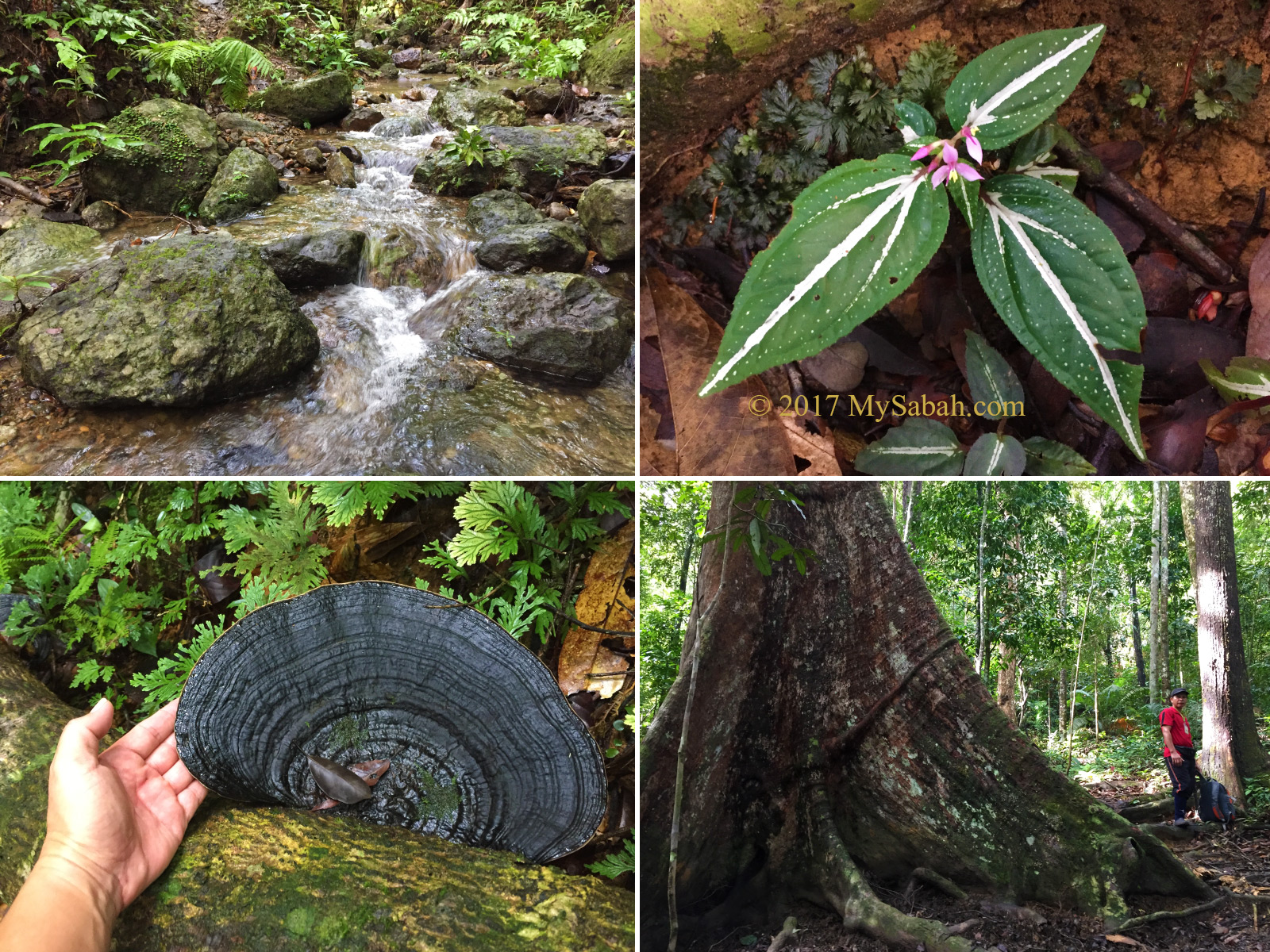
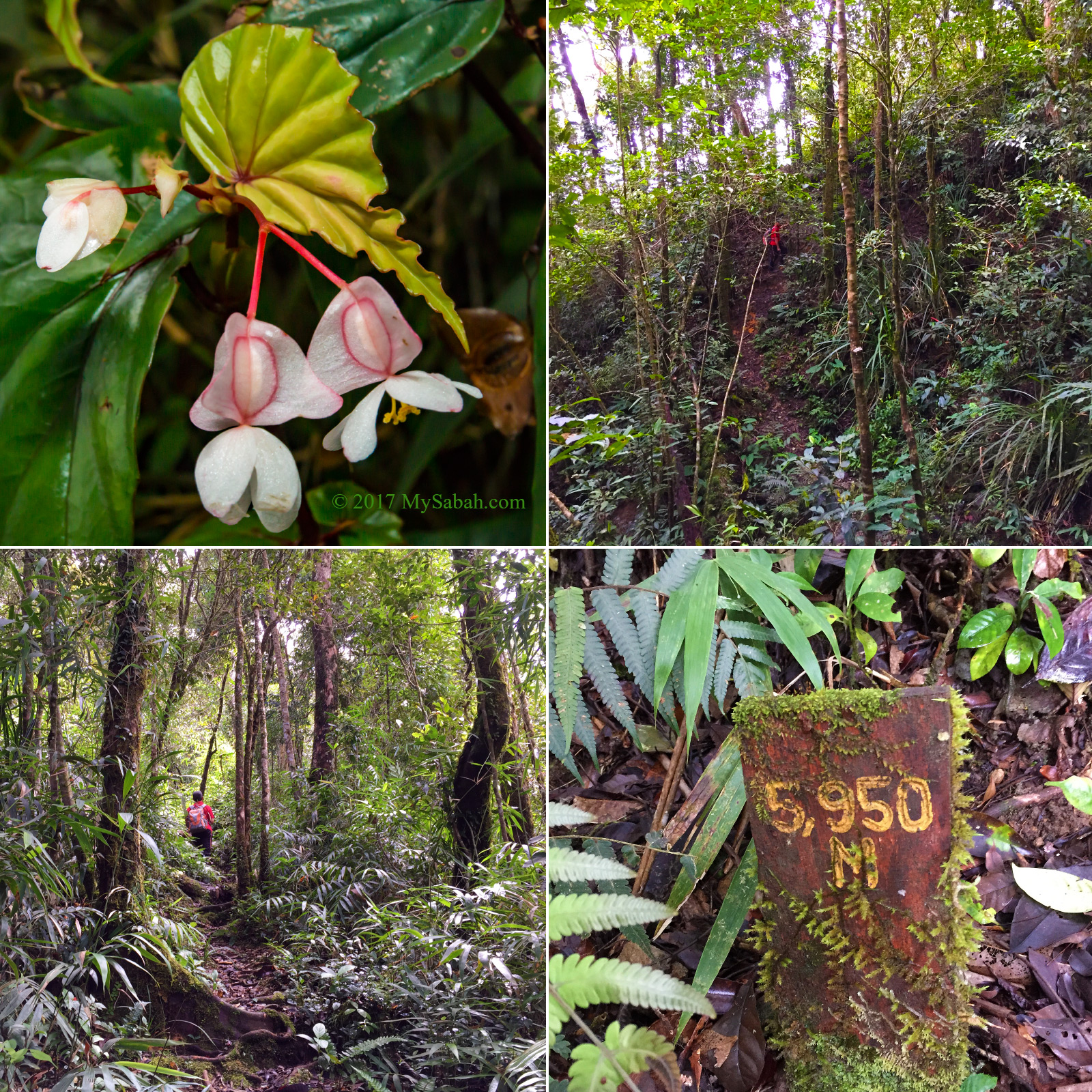
Birds and wildlife are thriving in Kawag. In day one, after lunch at the lodge, we went for a short guided walk at 3pm on the Kawag trail. We looked at the biggest tree in Kawag, which is a 80 to 100 years old Seraya tree (species: Shorea johorensis), a popular timber.

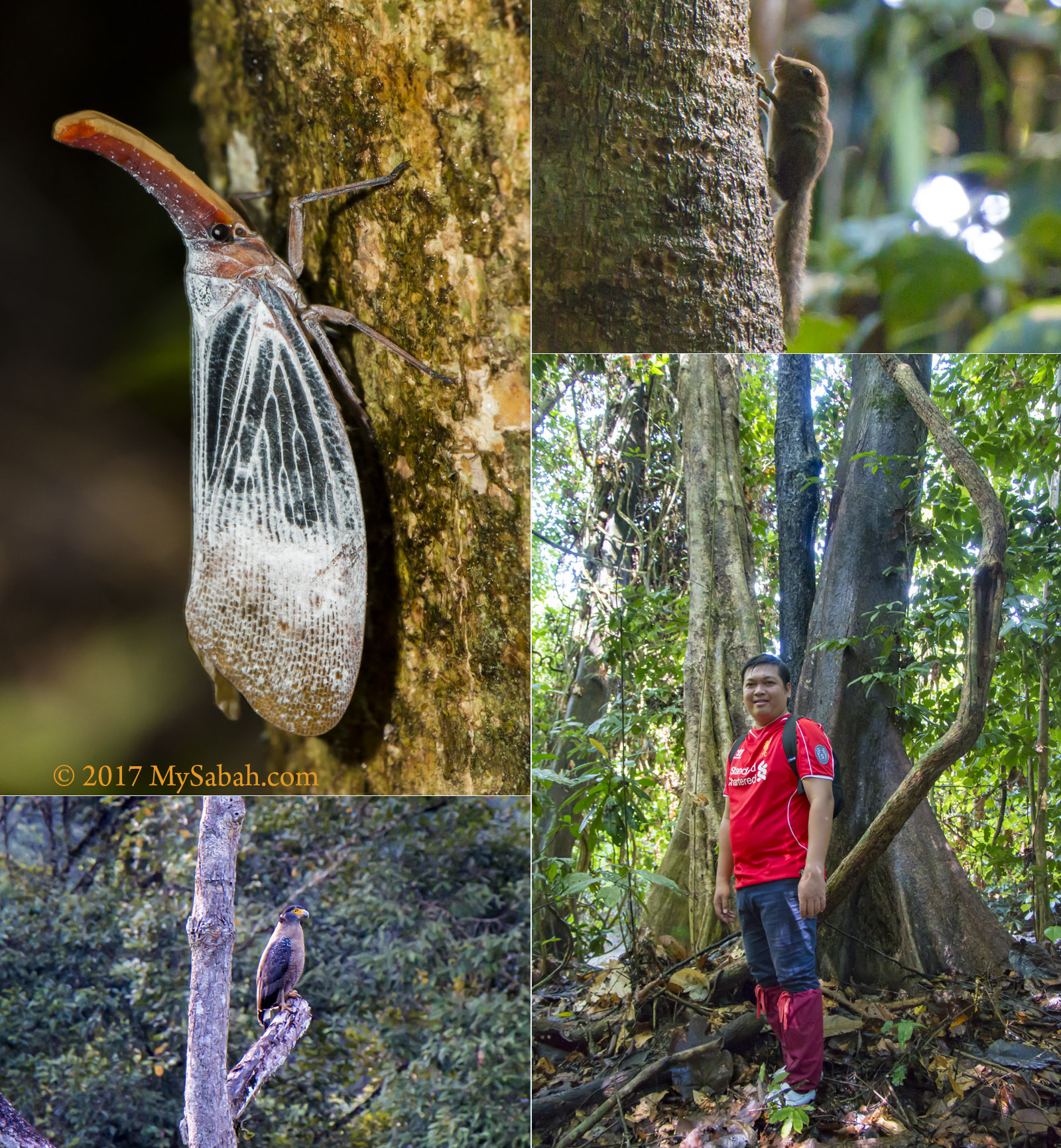
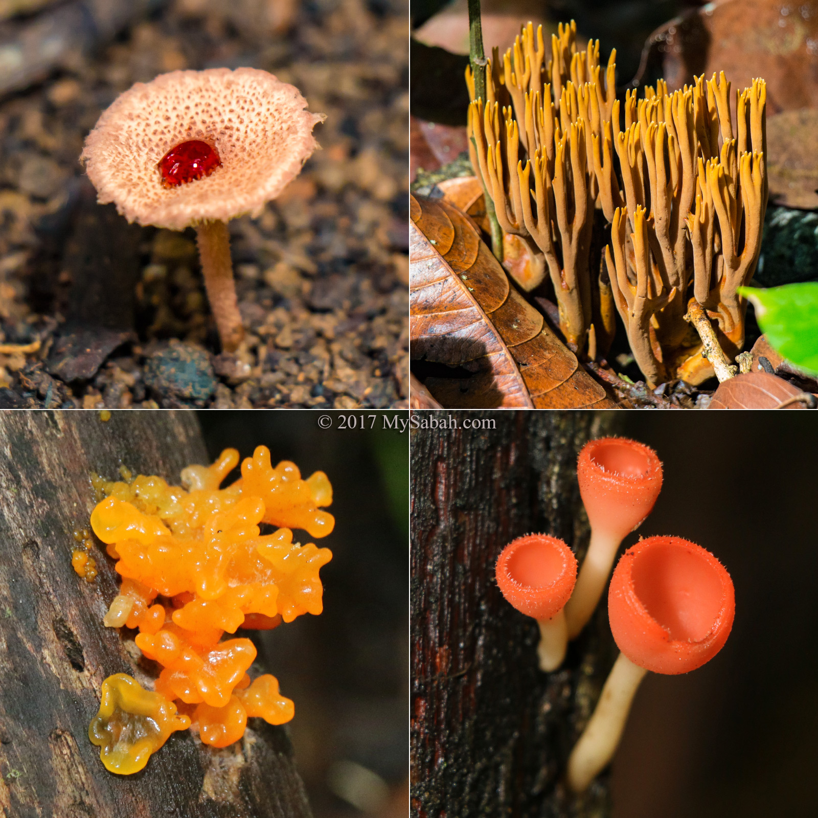
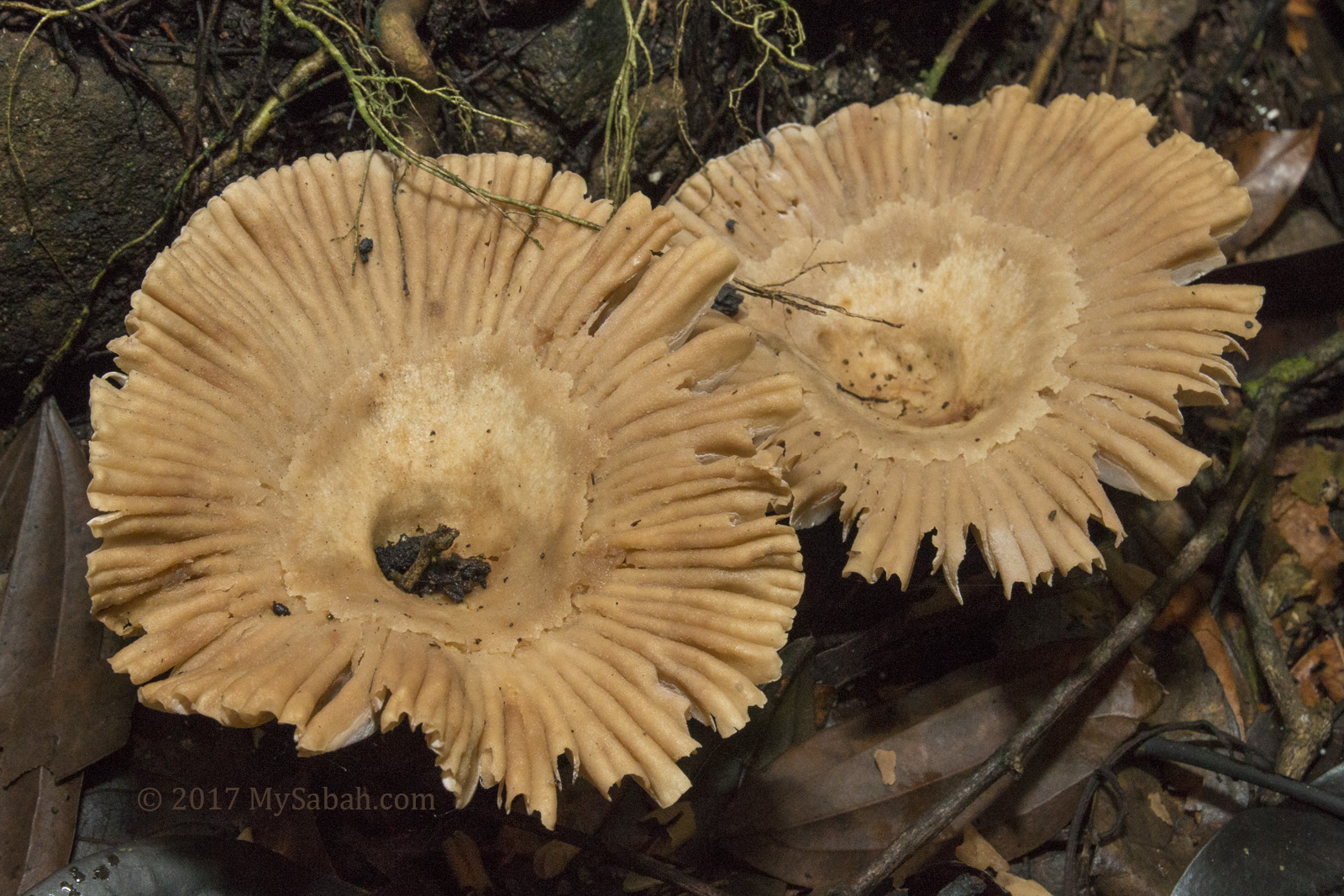
What we saw in hiking: Lantern bug, pygmy squirrel, Serpent Eagle and 3-color tree

Then we found a 3-in-1 trees, i.e. Kayu Malam, Seraya and Jati trees grow like they are hugging one another. The guide showed us a Bayur tree that produces salty sap, which was once used by villagers for cooking during the World War II, salt was scarce that period because Japanese seized from them. Sometimes deer chews the bark for salt supplement (a behavior called Salt Lick).

Locally known as Belian (means Diamond in local language), Borneo ironwood is one of the hardest and most valuable timbers. There is one that stands over 120 years in Kawag.

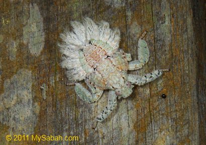
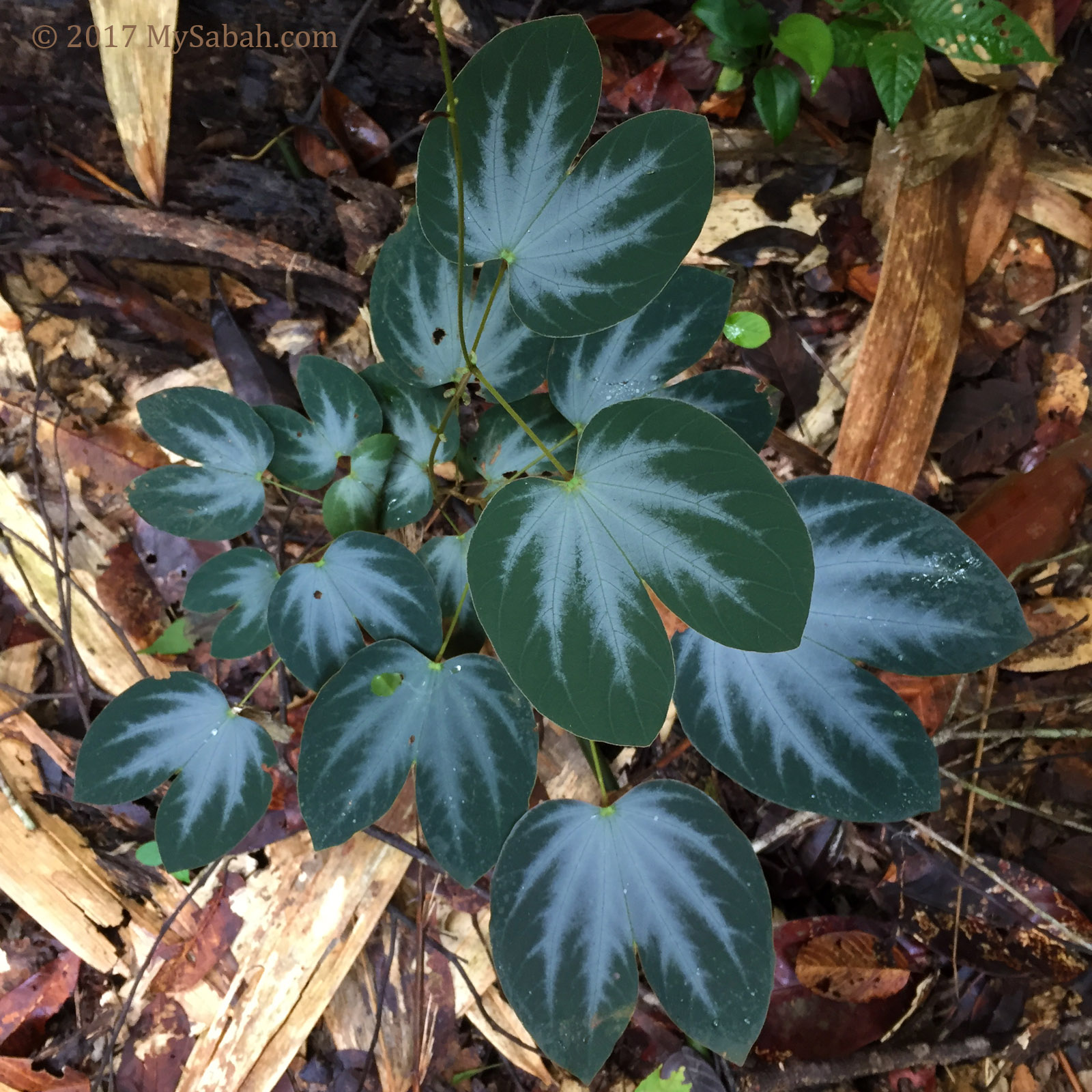
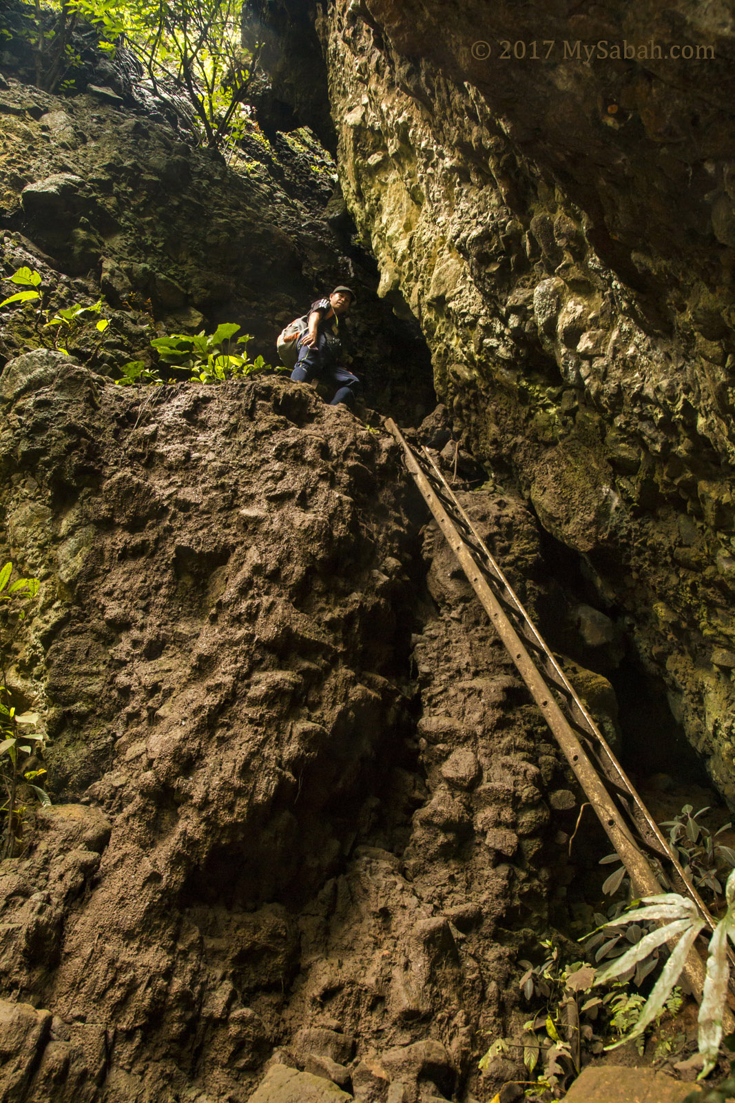
Some would be excited to see these, while other probably don’t.

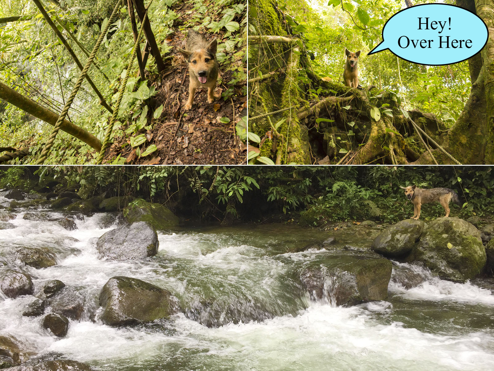
Iconic Borneo wildlife such as gibbon, elephants, banteng (wild cattle), orangutan, deer and leopard cat have been sighted on the Kawag trail.

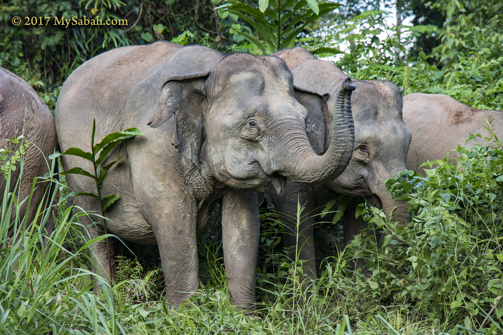
Herd of elephants in Danum Valley

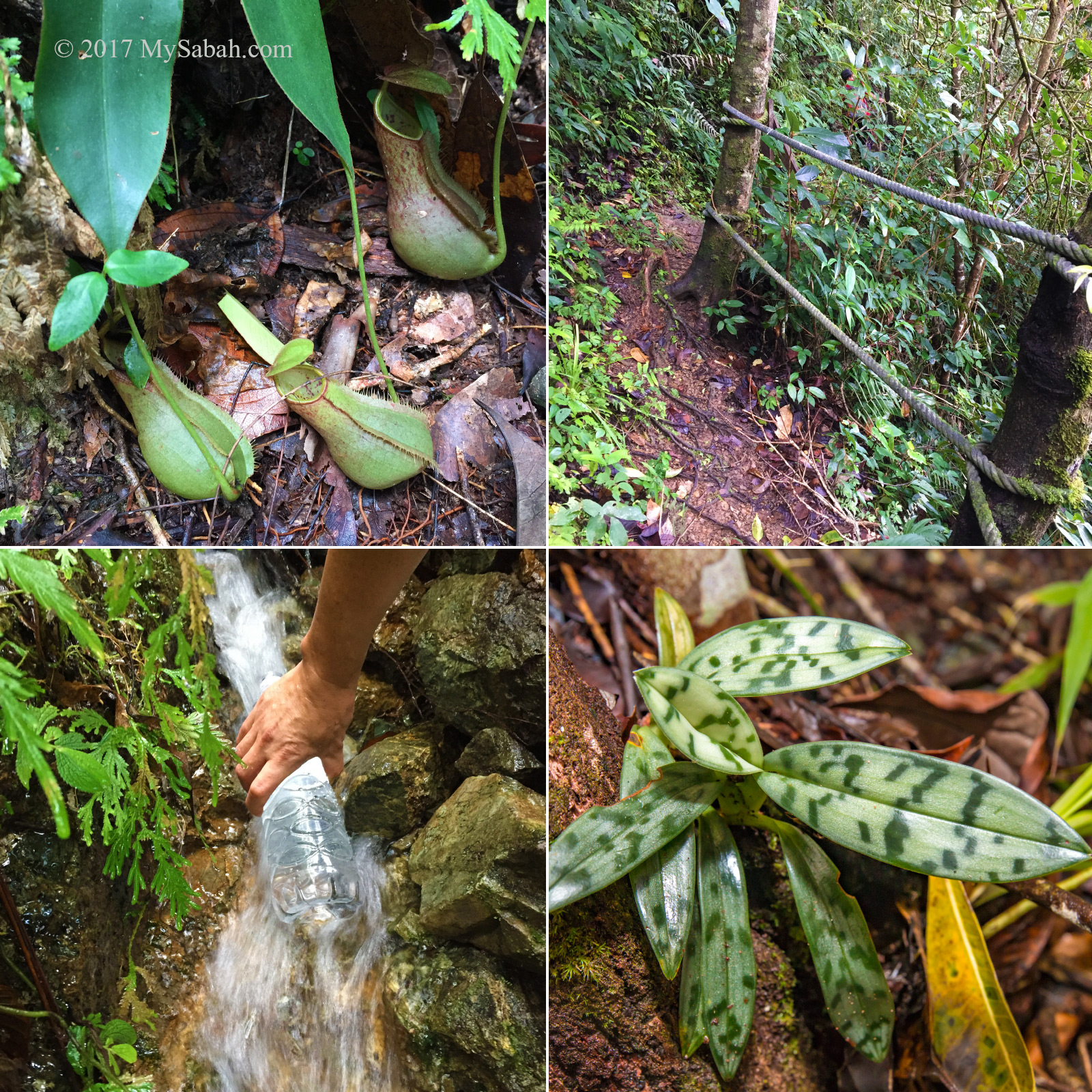
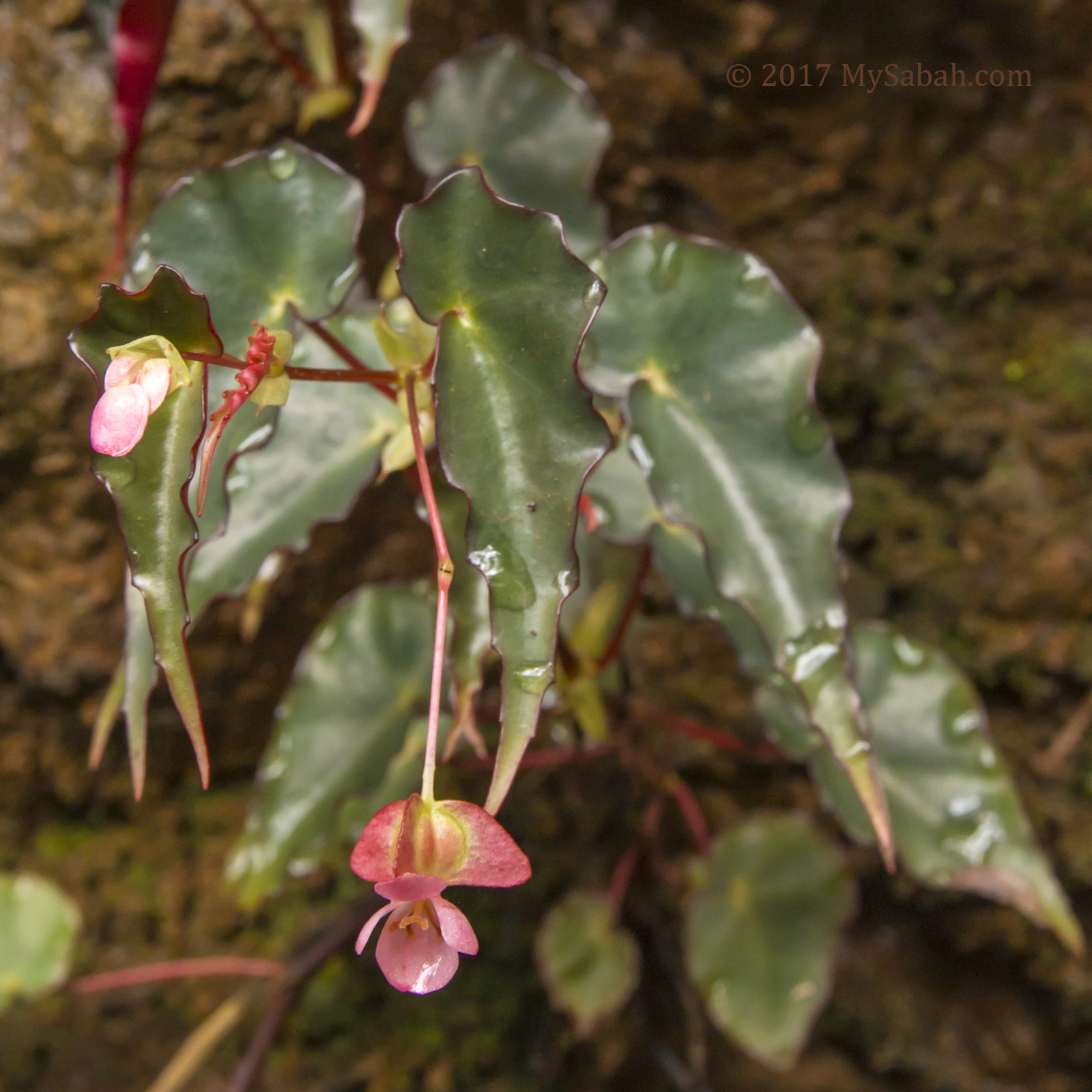
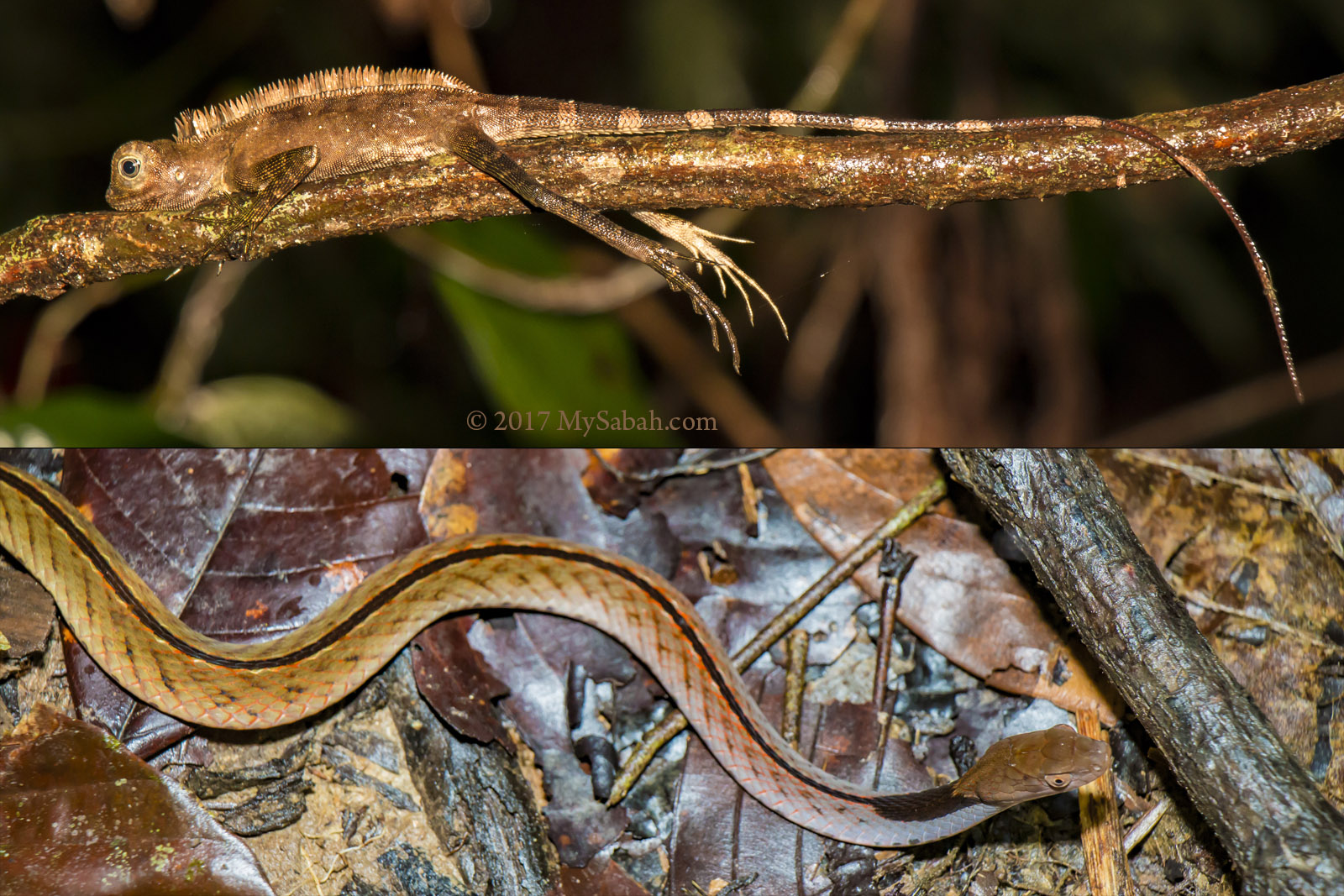
During my two hiking, I spotted Trogon bird, Black & Yellow Broadbill, pygmy squirrel, giant orchid, Goshen Hawk, Barbler, and long tailed macaques. We also heard Great Argus not far away.

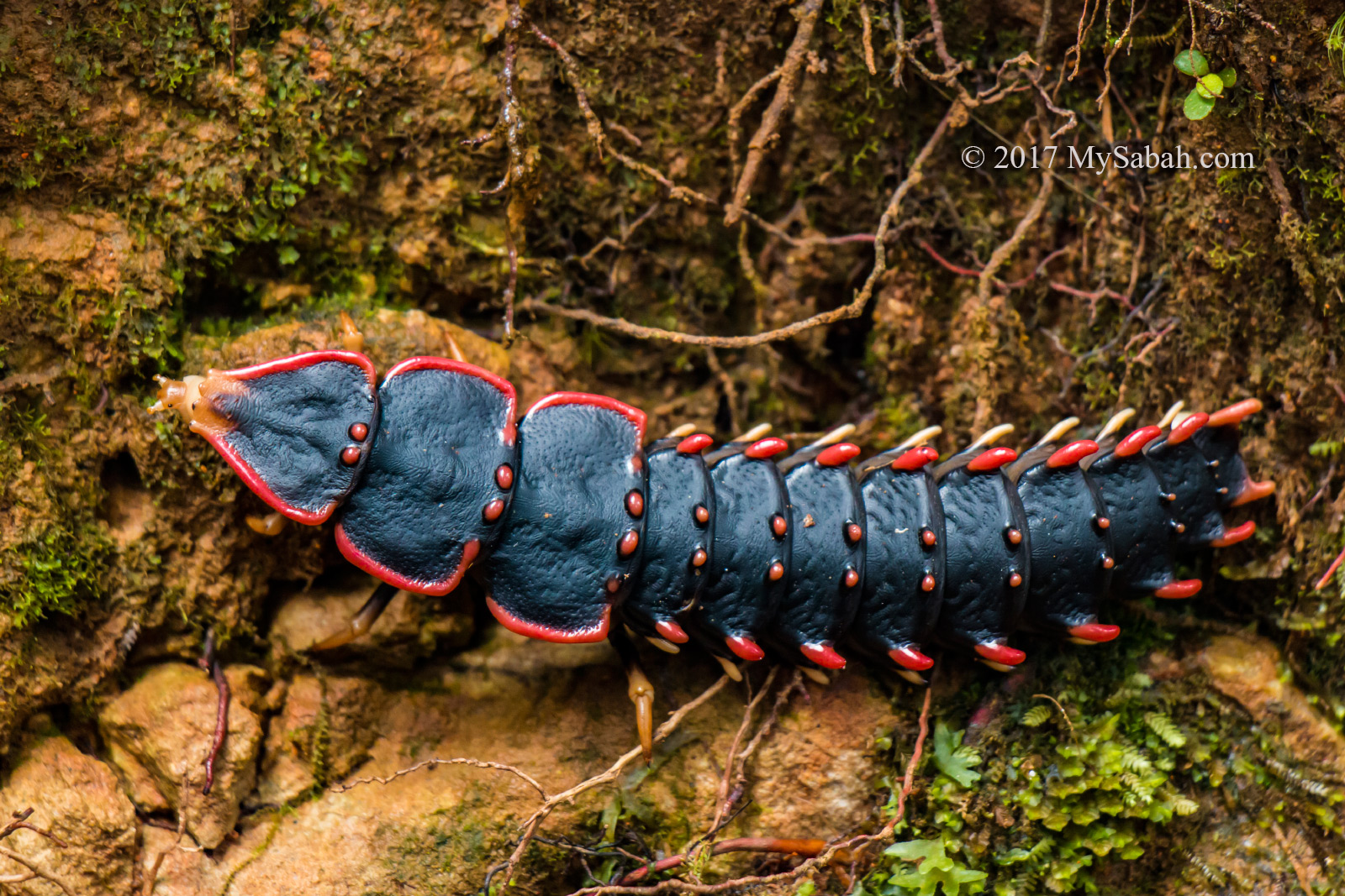
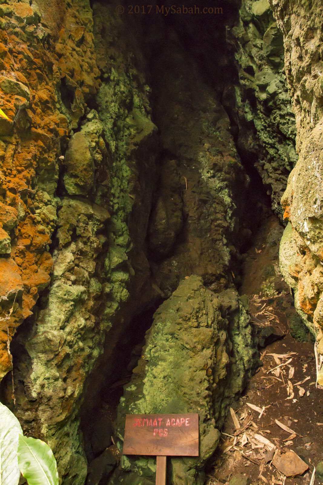
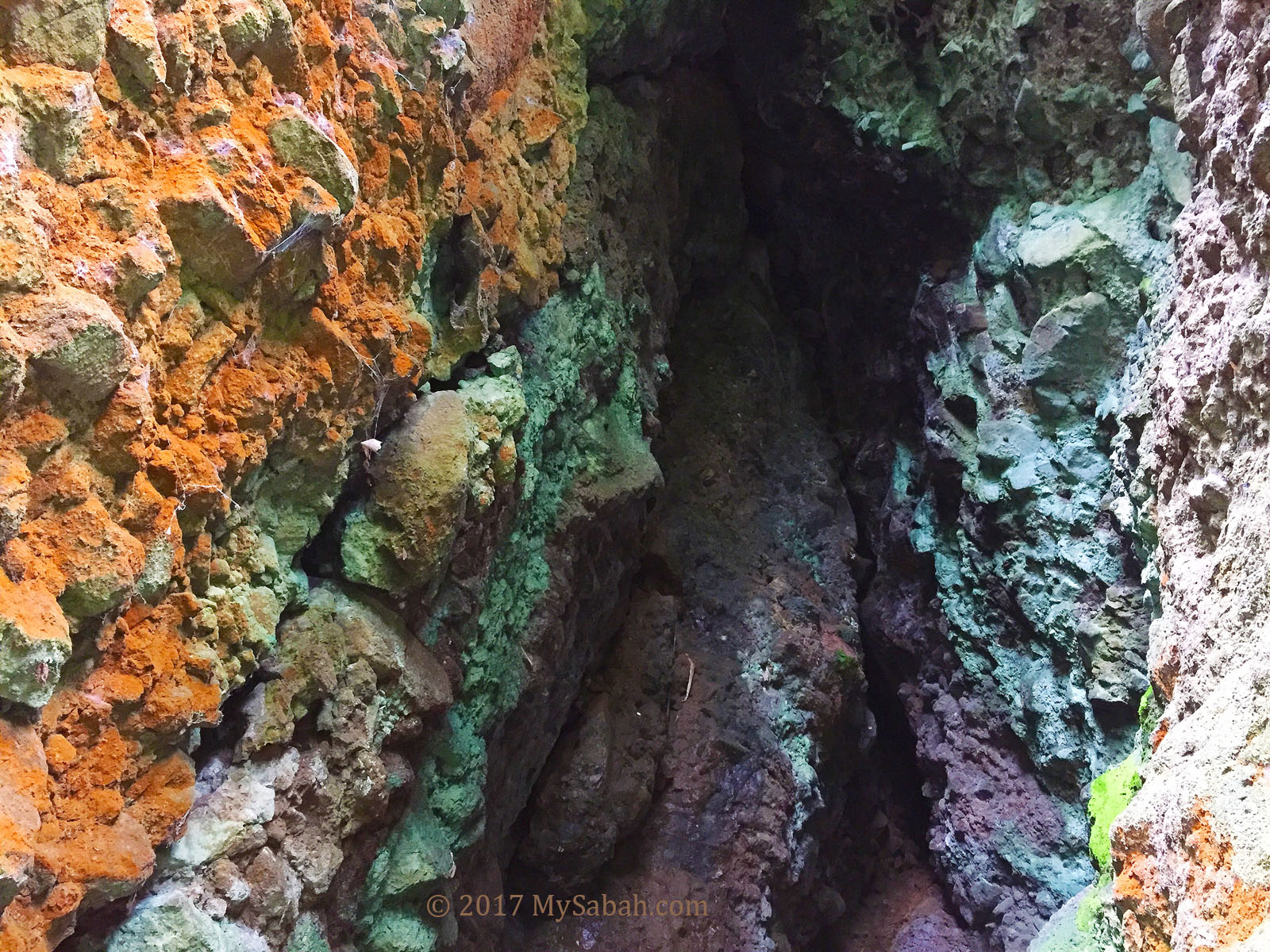
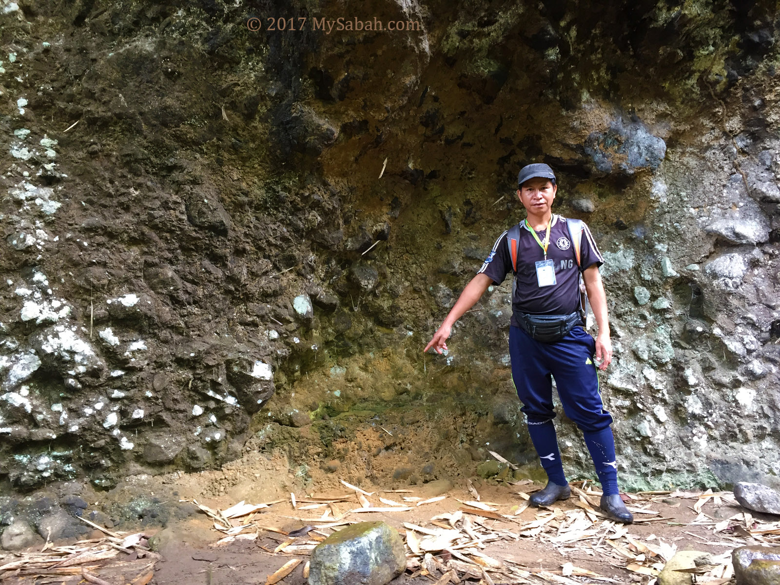
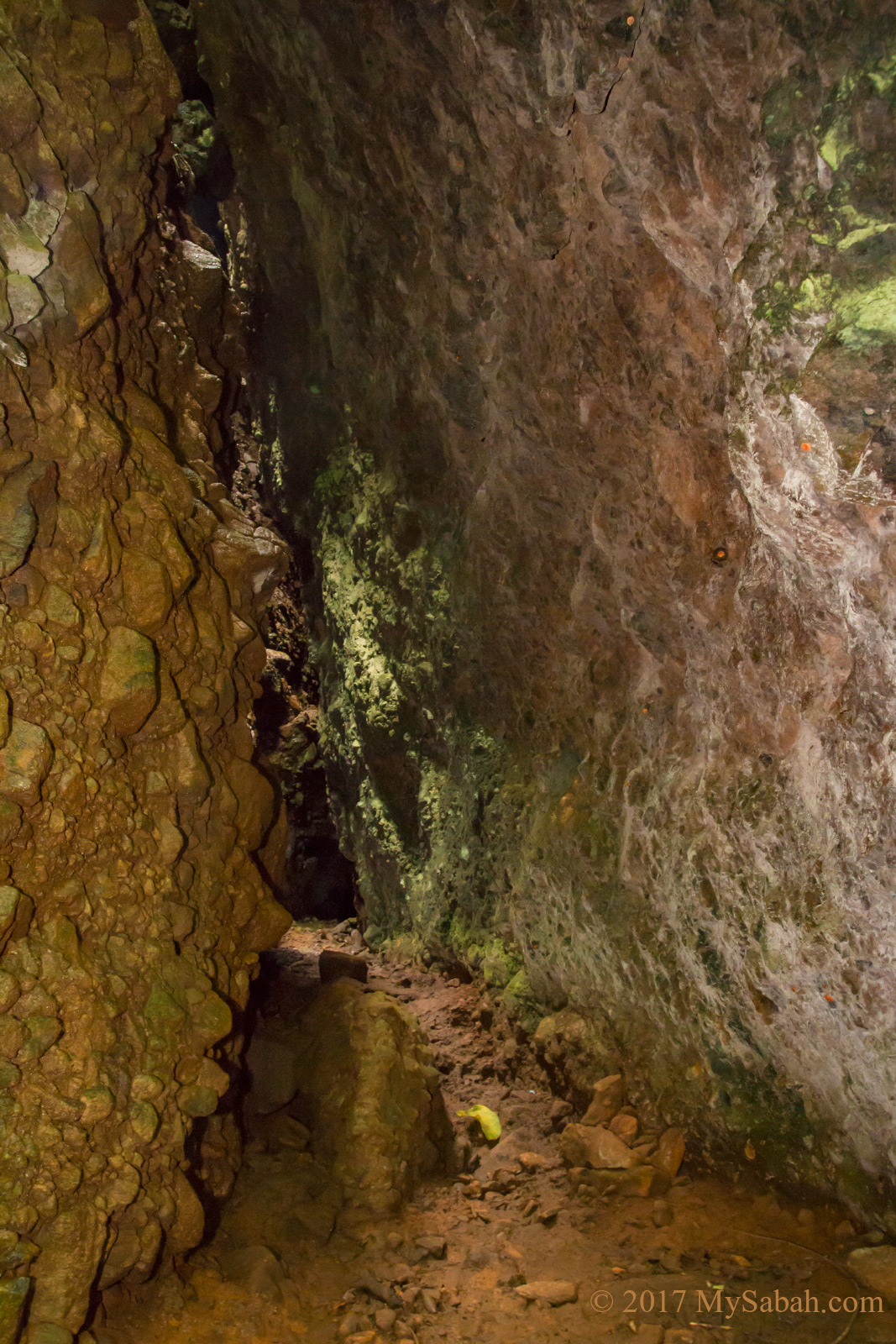
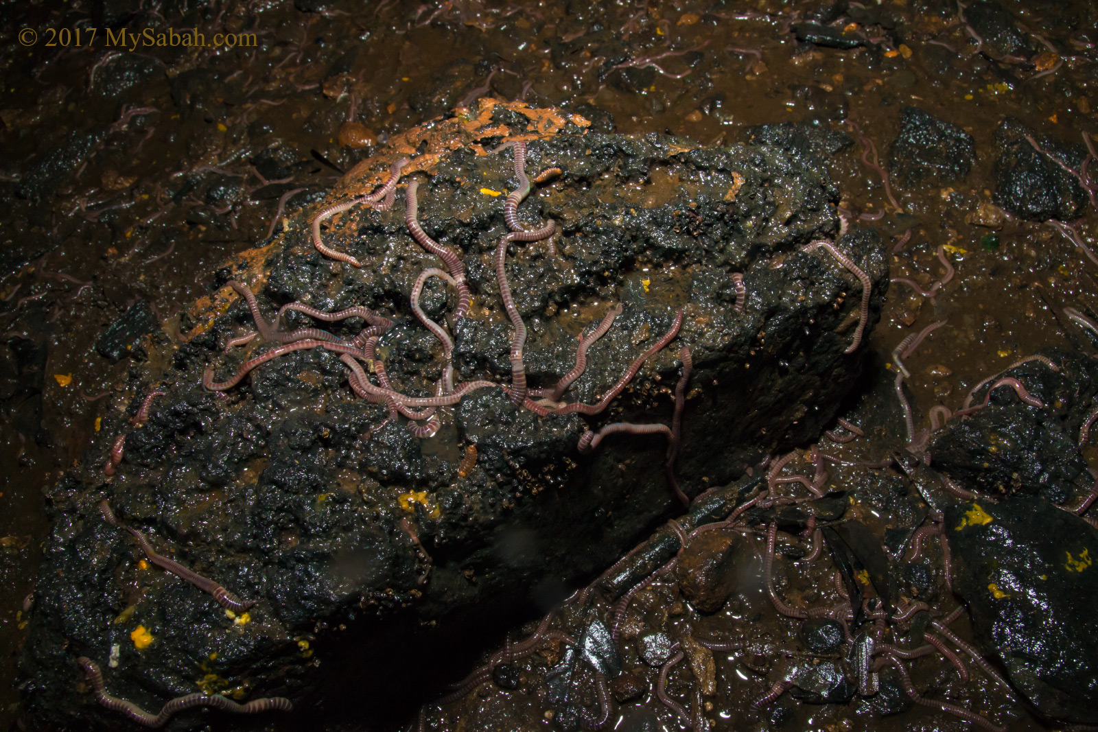
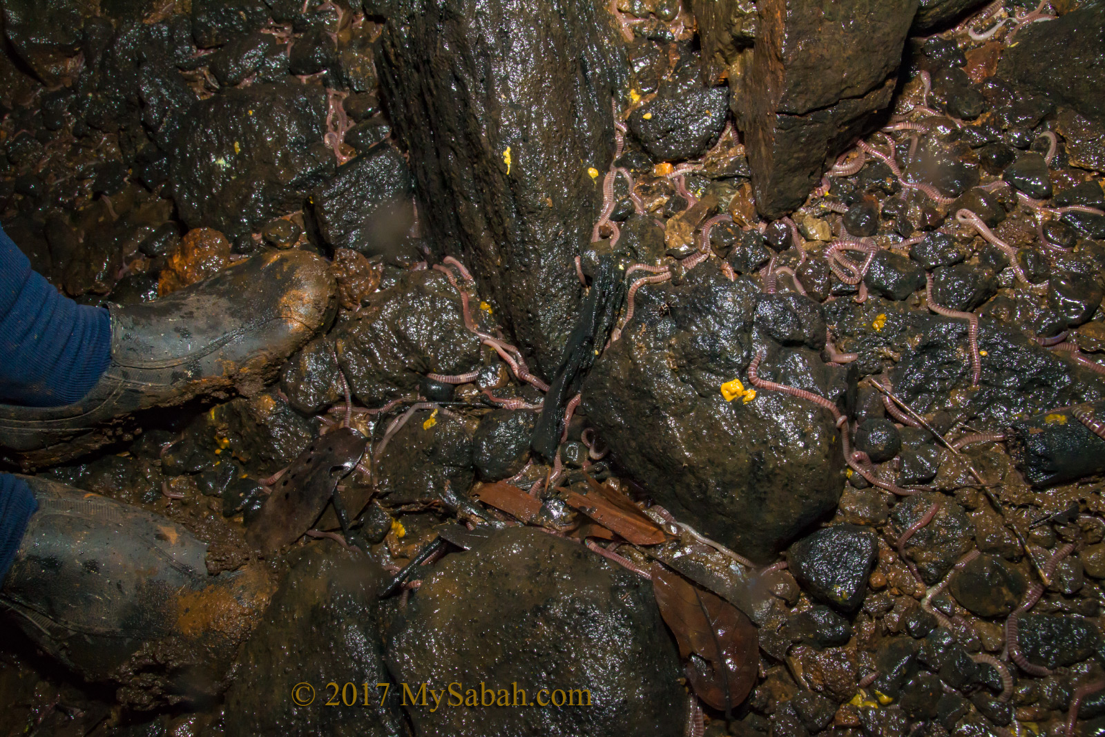
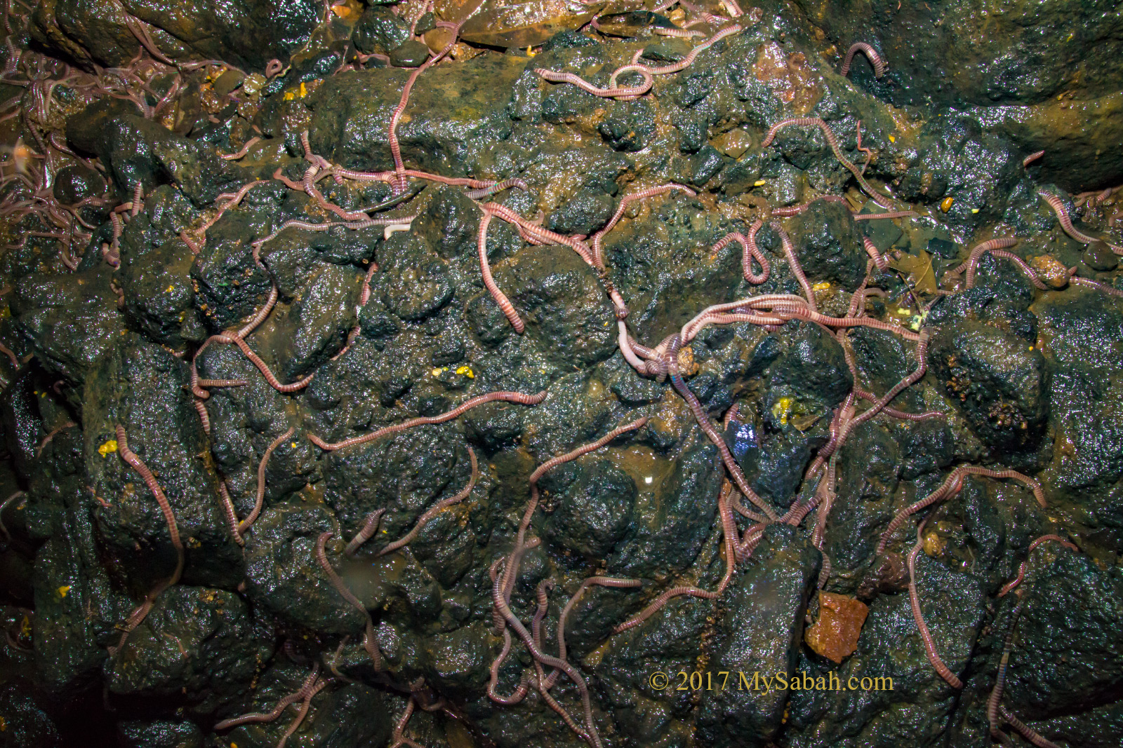
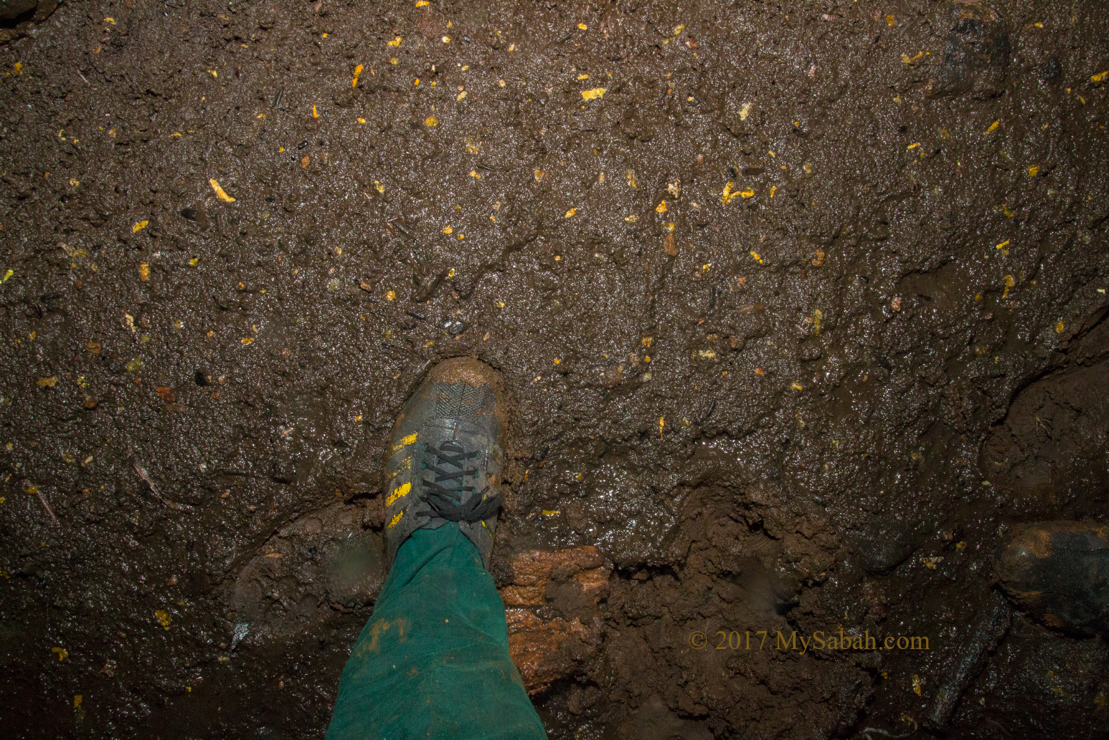
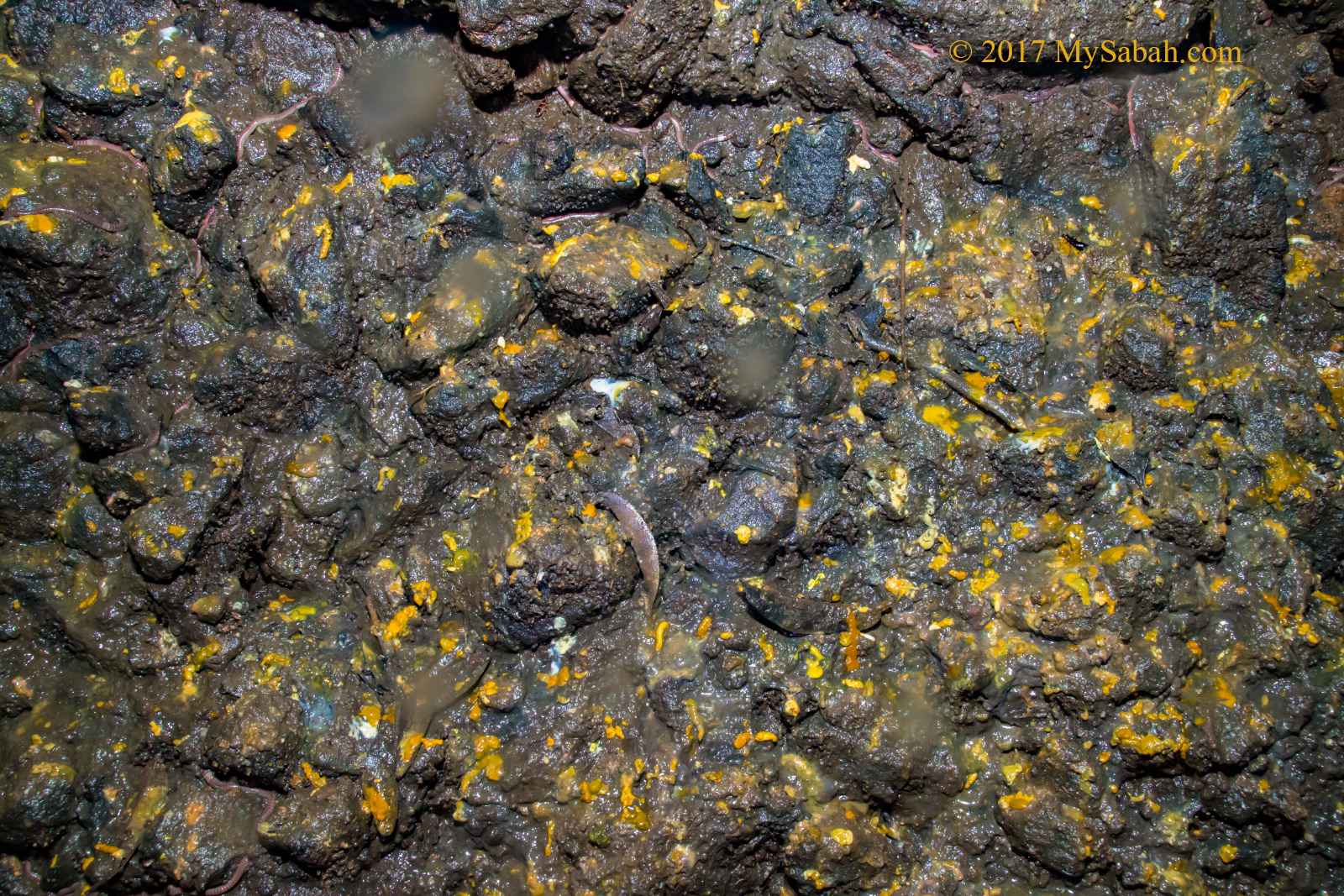
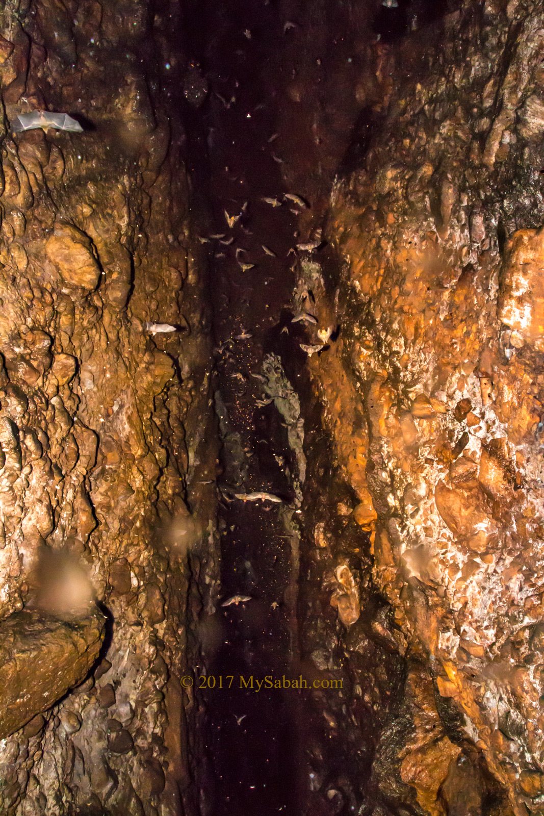
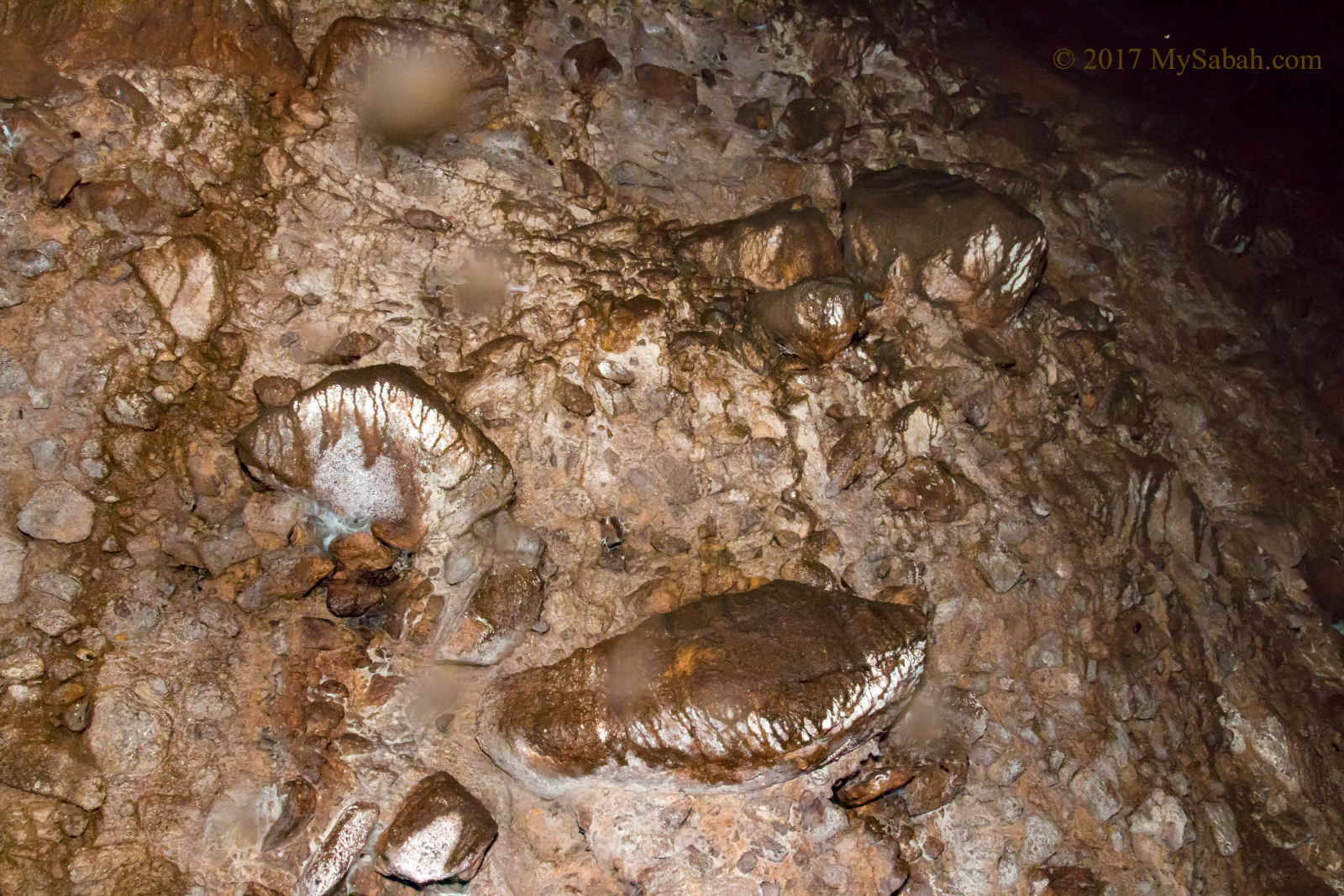
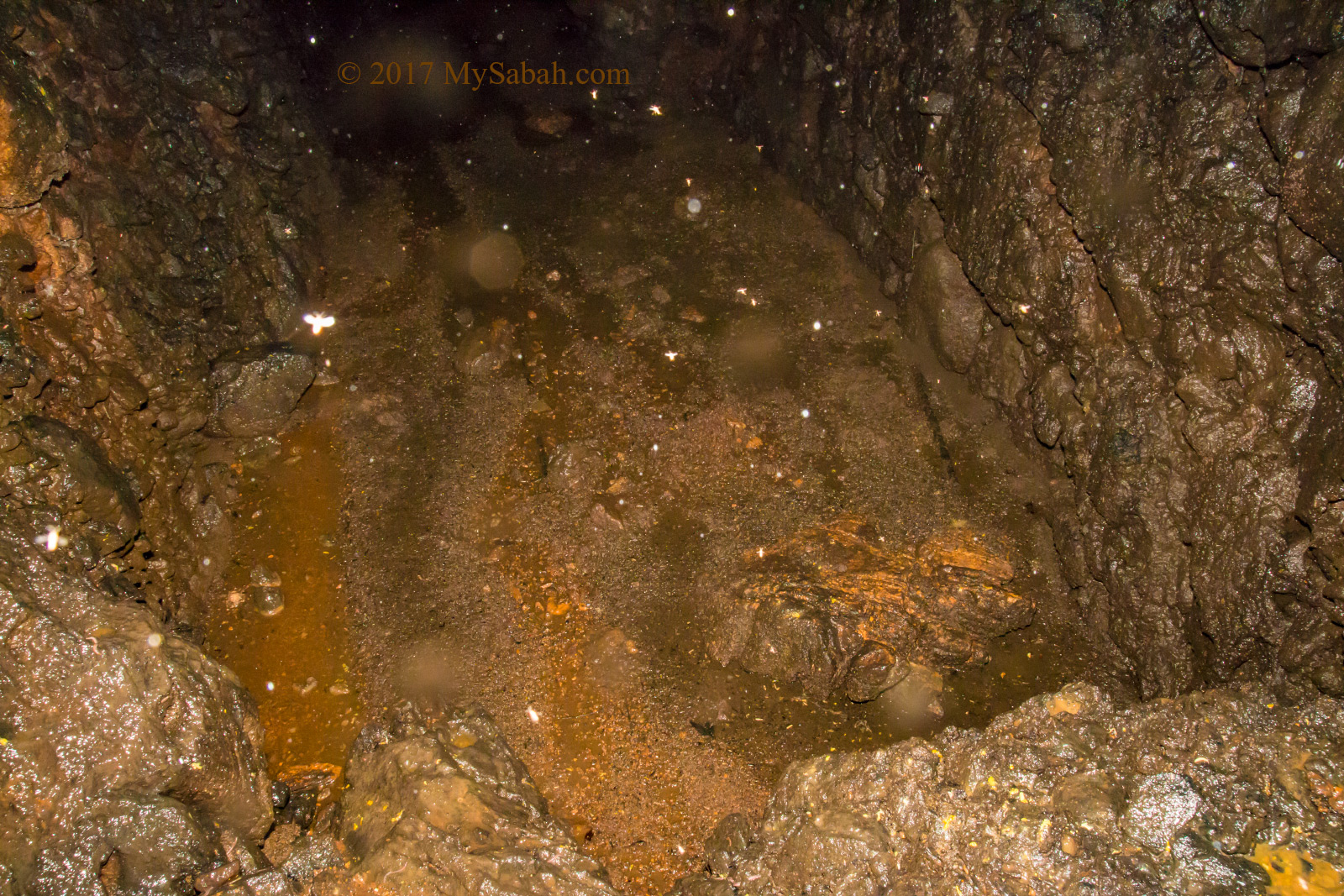
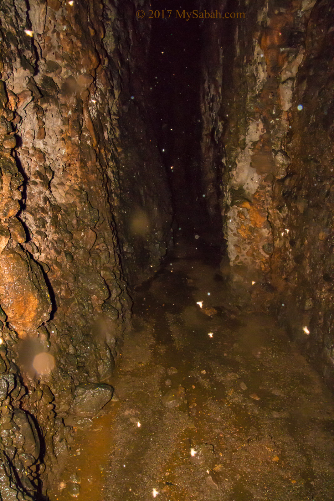
My friend in front bumped into an albino mouse deer (Kancil) before it ran away. Too bad I missed it. I was told that a limestone cave next to the trail has white bat. I didn’t see it but found some white tractor millipedes. This added more sense of mystery to this forest.

After dinner, we climbed up to the back of a pick-up truck for a night safari tour. The car drove slowly along the road. The guide used spotlight to scan the forest and bushes at roadside for nocturnal animals. It’s a very relaxing activity, we enjoyed the breeze and amazed by blue and green light fireflies pass-by occasionally.

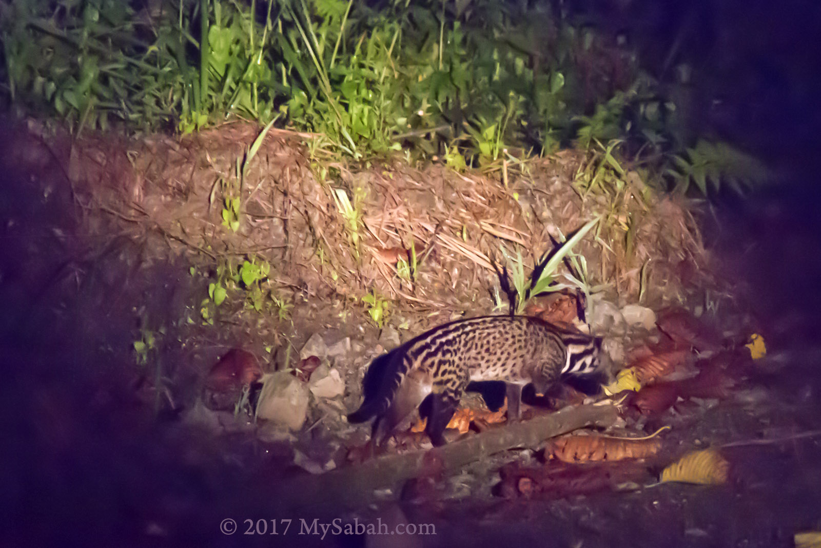
Malay Civet spotted in night safari

Our guide did the hardwork of searching and found us sleeping Prinia, Ashy Tailor bird, flying Colugo, slow loris, etc. The jackpot is western tarsier, an odd looking small primate which has eyes bigger than its brain, and can turn its head almost 360 degrees. No wonder locals call it Ghost Monkey.

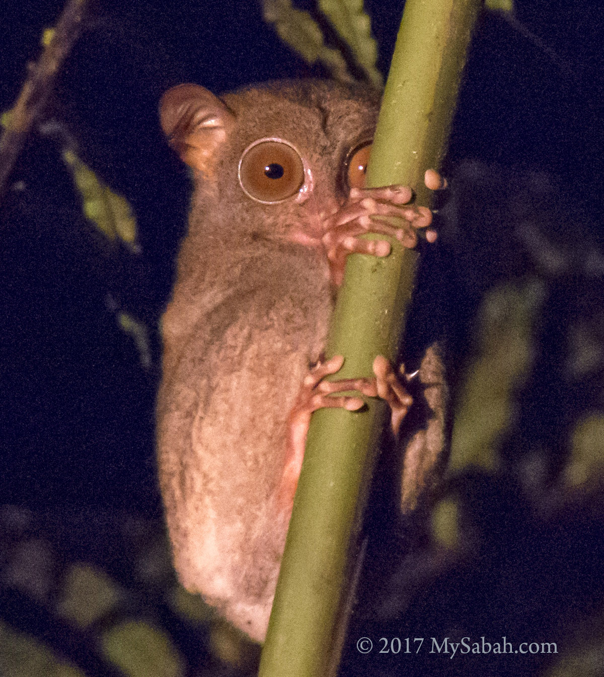
I saw Western Tarsier in my second visit to Kawag

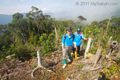
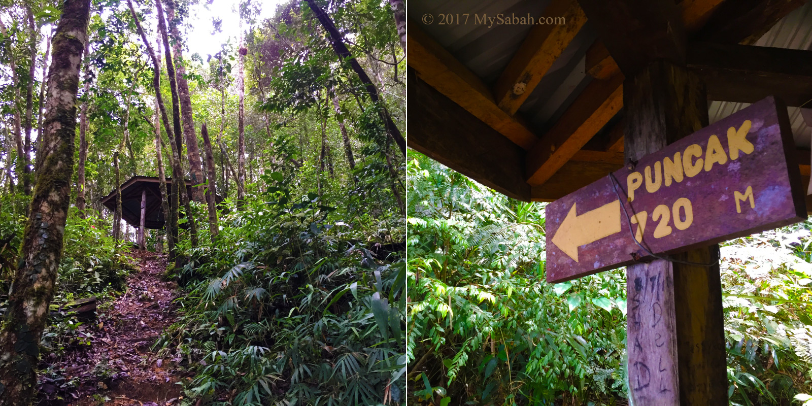
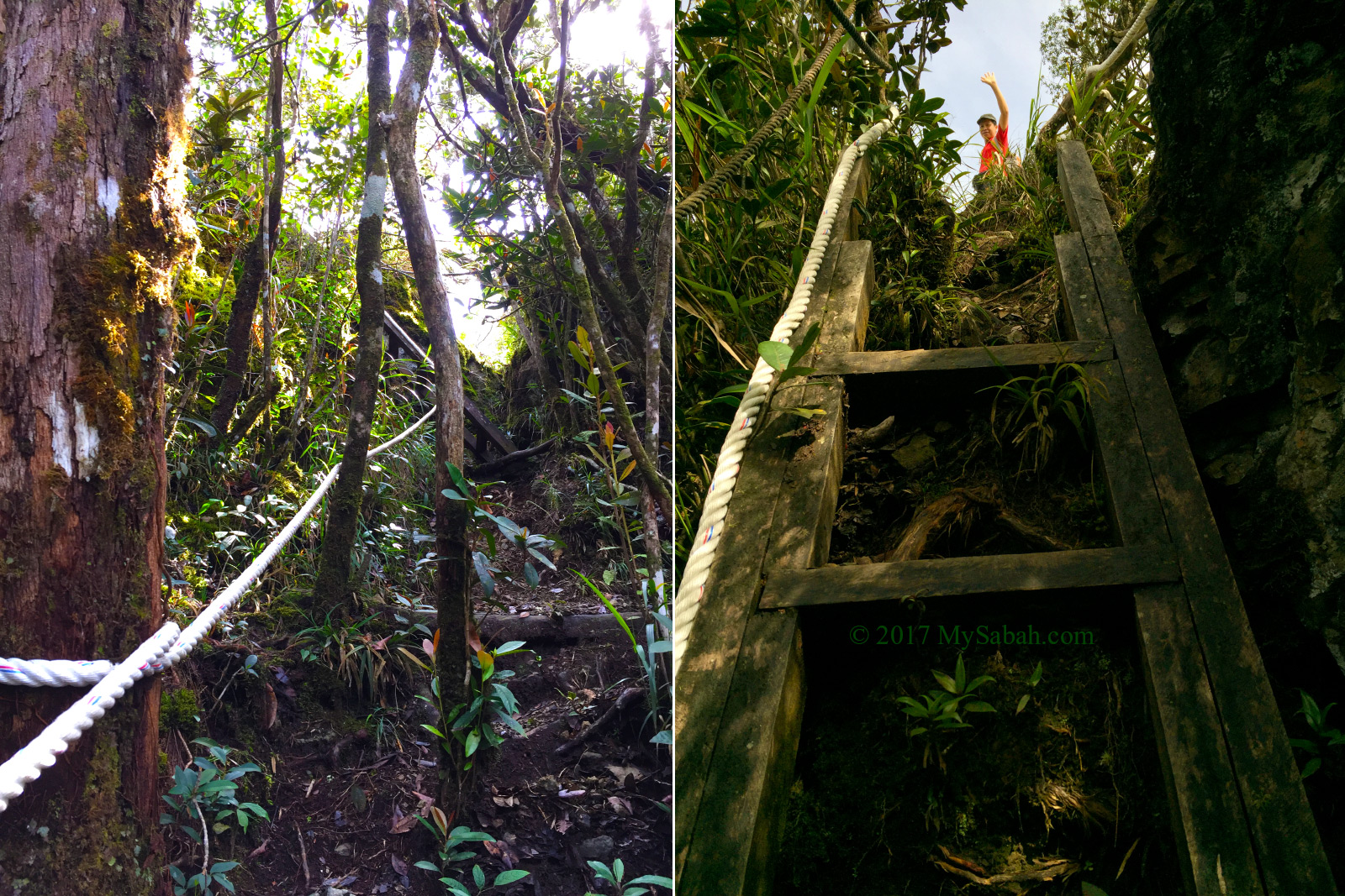
The next morning, we walked to the higher ground to see sunrise shined over the misty forest. The trail condition of Kawag is ok overall, but a bit slippery after rain. And always watch out for leeches and fire ants.

Climb up to a hill to see the misty forest during sunrise

2. Bird Watching

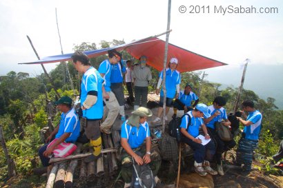
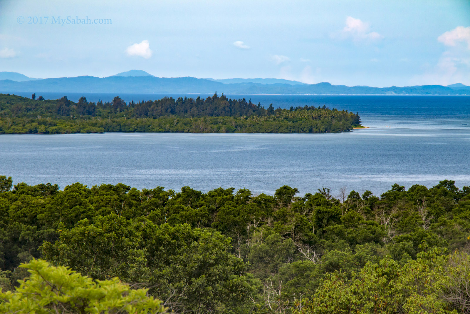
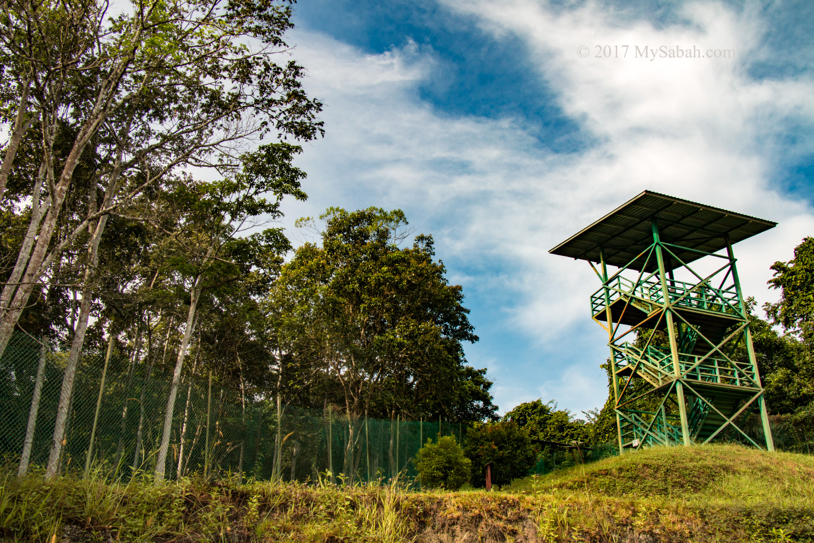
In the morning you can walk to a 15-Meter-high observatory tower near the lodge. From the top, I saw Bornean Forktail, Serpeant Eagle and leaf bird, and heard loud morning call of Gibbon.

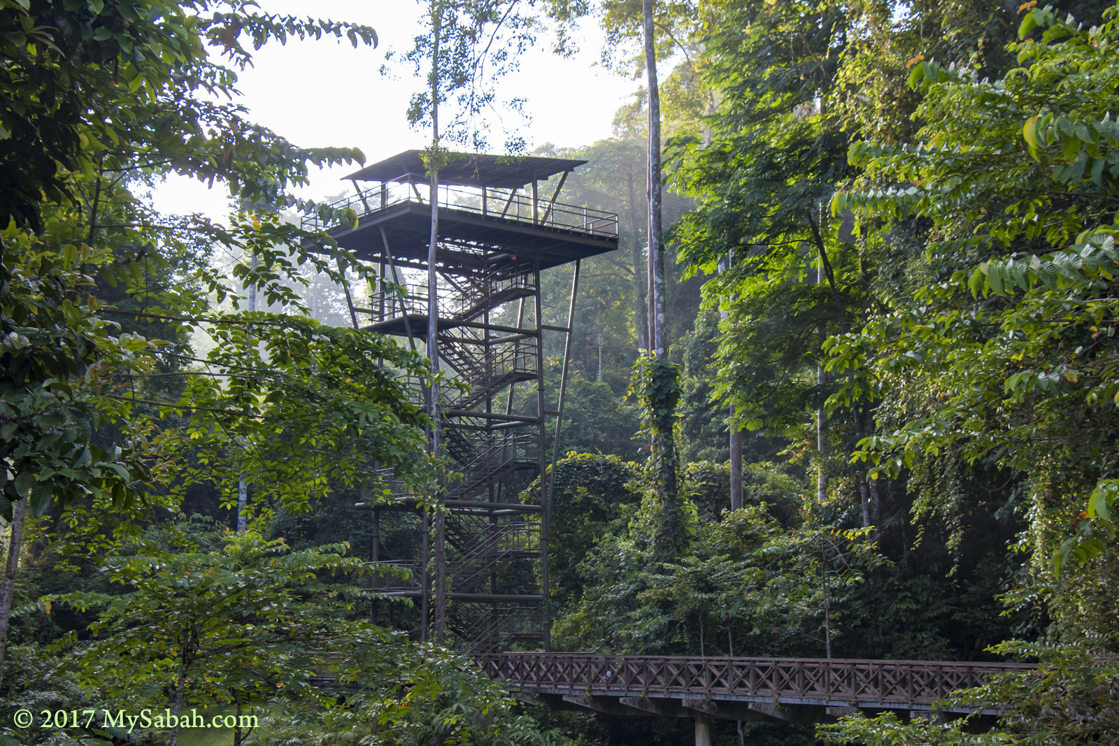
The 50-feet observatory tower in Kawag Danum Rainforest Lodge

Based on a Bird Survey 2015 in Kawag Forest Scientific Expedition, over 100 species of birds can be found here. Just to list some cool ones, Great Argus, Scarlet-rumped trogon, fish owl, babbler, White-Crowned Shama, green leaf bird, black and red broadbill, sunbird, bulbul, crested hawk, oriental darter, oriole, and hornbill. 5 species of Pitta, the most colorful birds of Borneo, can be spotted in Kawag.

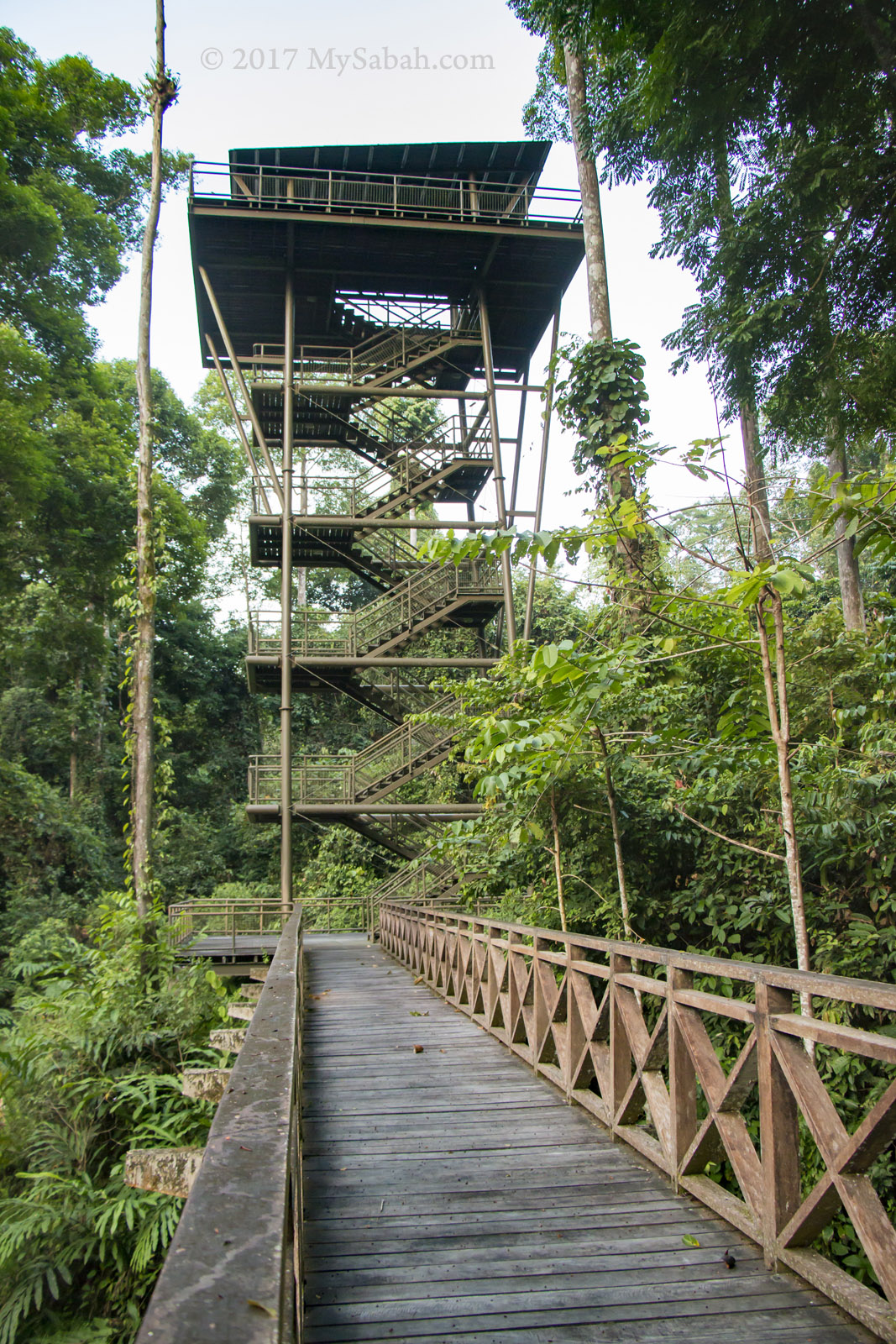
This observatory tower is a good spot for bird watching

Jason, my professional bird guide friend found Raptors, Hornbills, migratory Dark-sided Flycatcher, and Large Frogmouth in Kawag. You may check out his birdwatching blog.

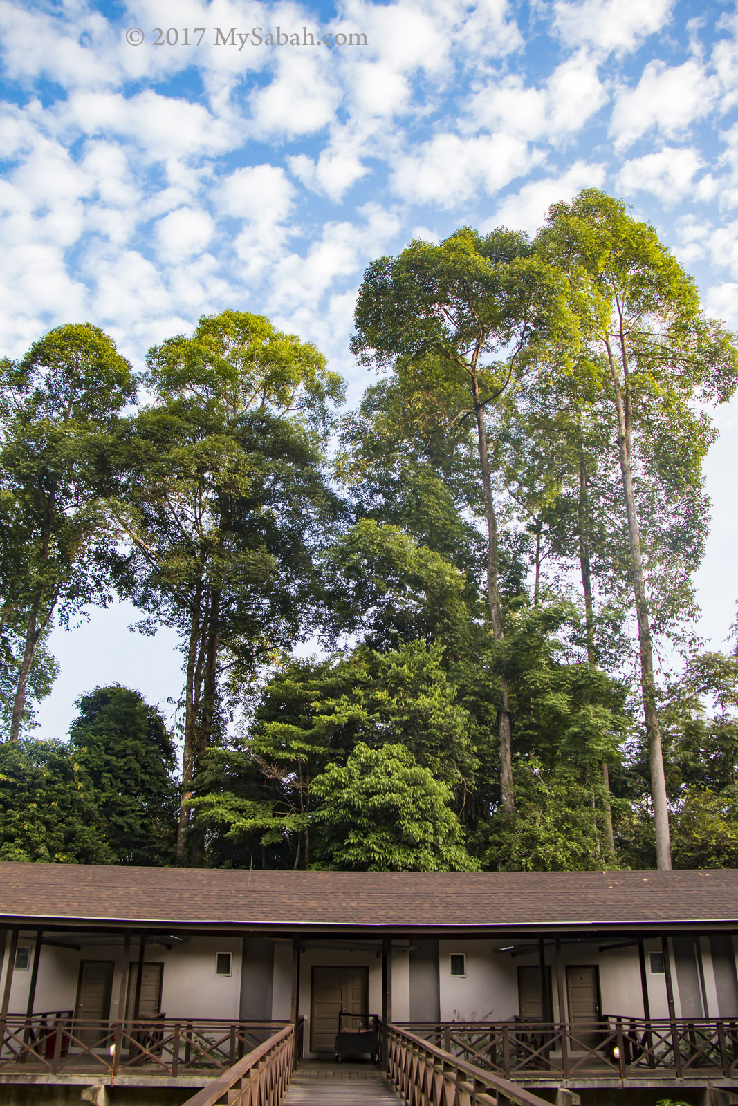
Kawag Danum Rainforest Lodge in the morning

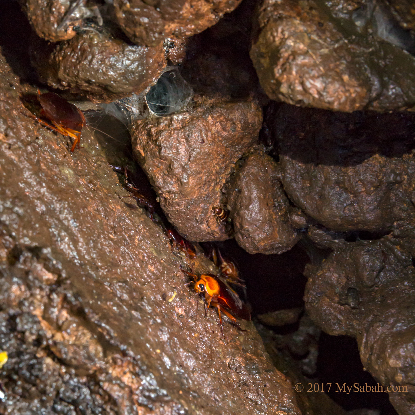
If you are interested in bugs too, you would be happy to see Mantidfly, Hornet / wasp like praying mantis, strange looking goat moth, Rajah Brooke’s birdwing butterfly, endemic Borneo damselfly, and lantern bug. (Thanks Dr Arthur for the info)

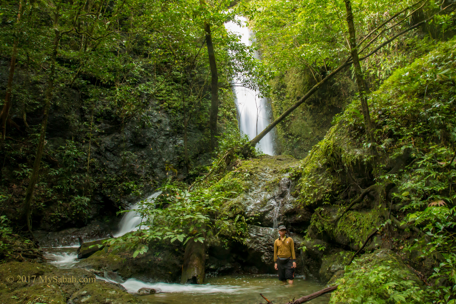
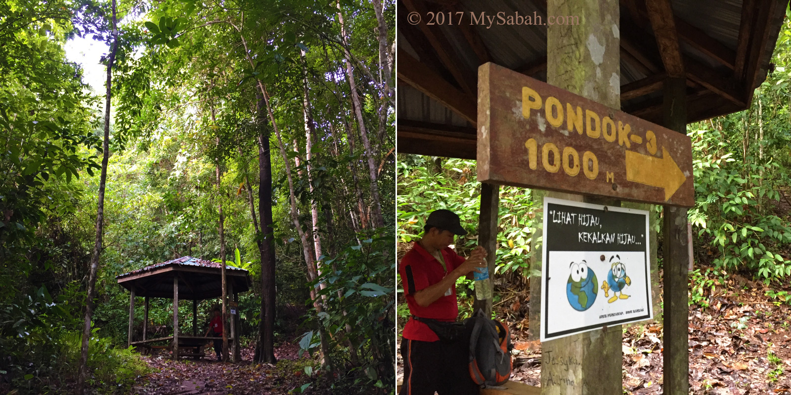
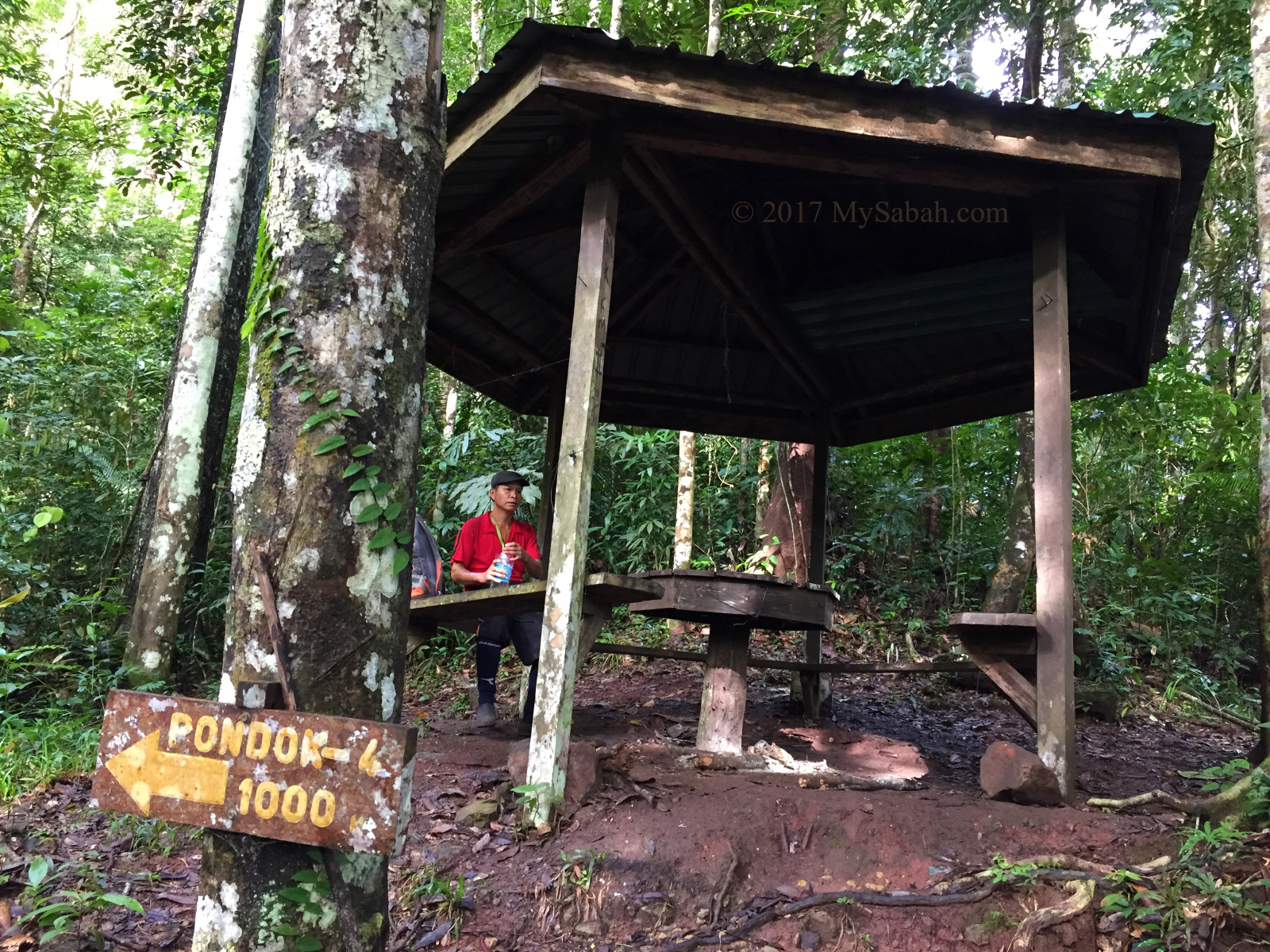
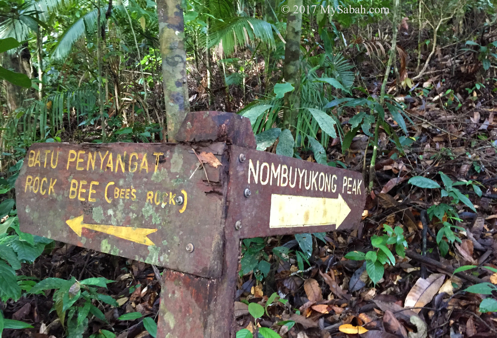
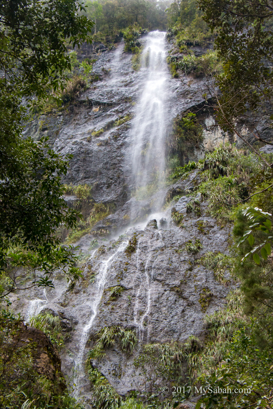
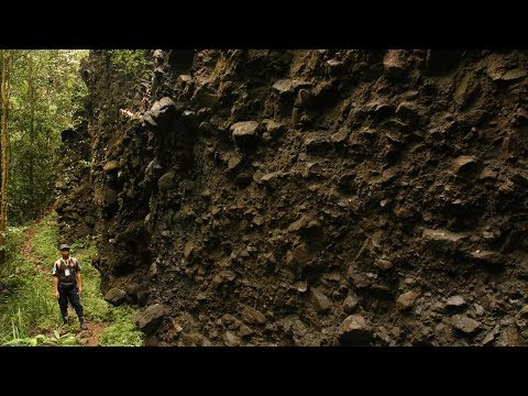
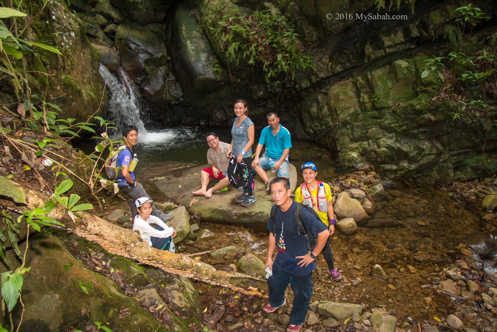
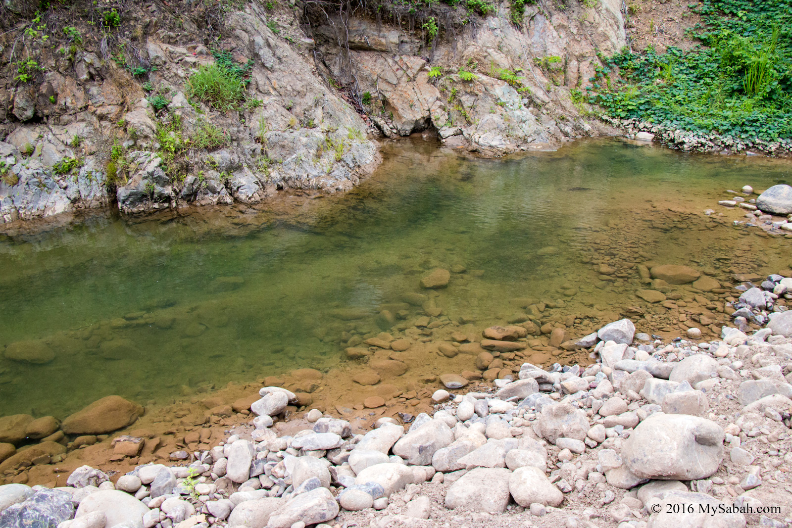
3. Ali Baba Waterfall

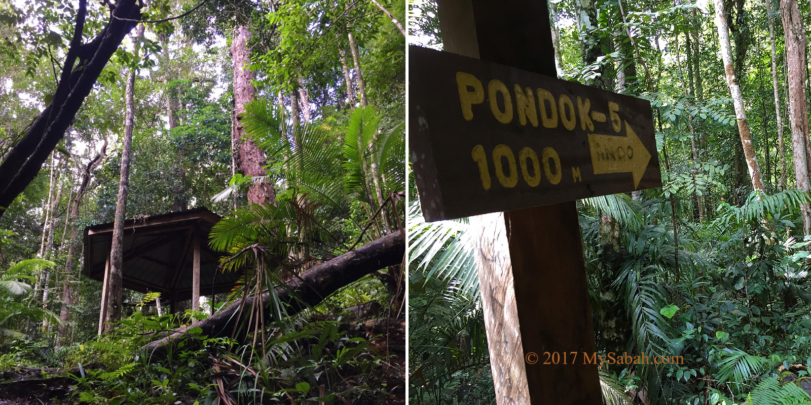
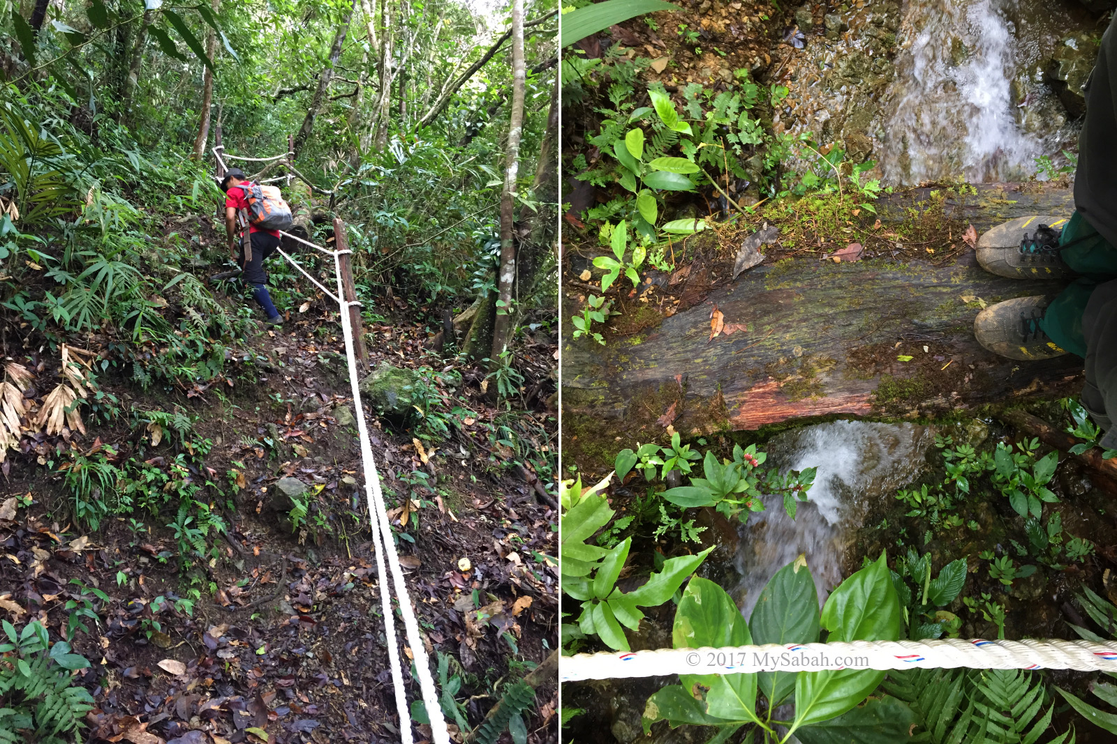
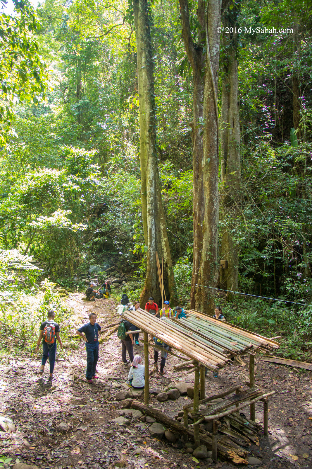
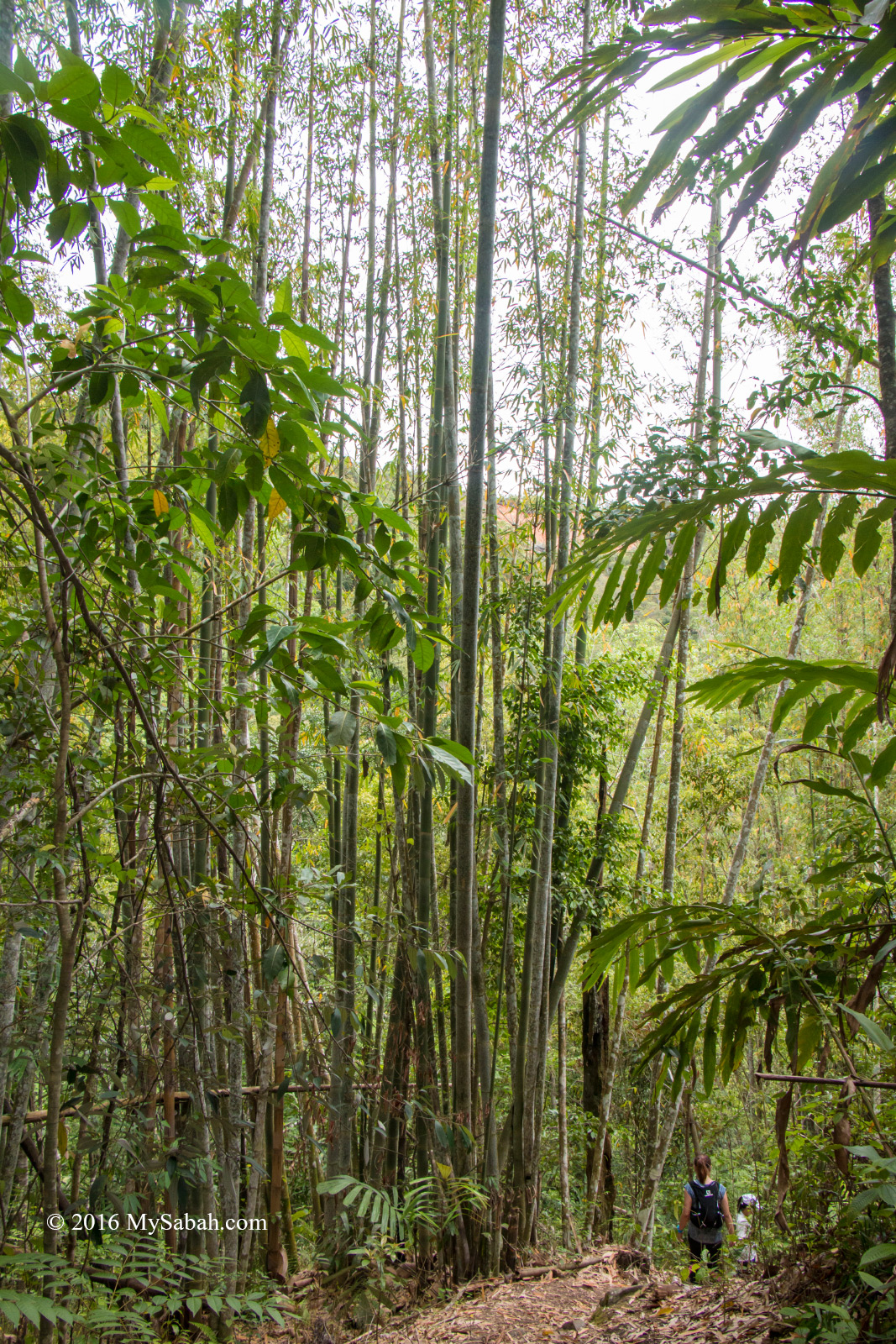
Borneo forest is a warm and humid place, so a bath at their Ali Baba Waterfall is very welcomed. The 2.4-Kilometre walk to this waterfall takes about 1.5 hours.

Jungle trekking to the Ali Baba Waterfall

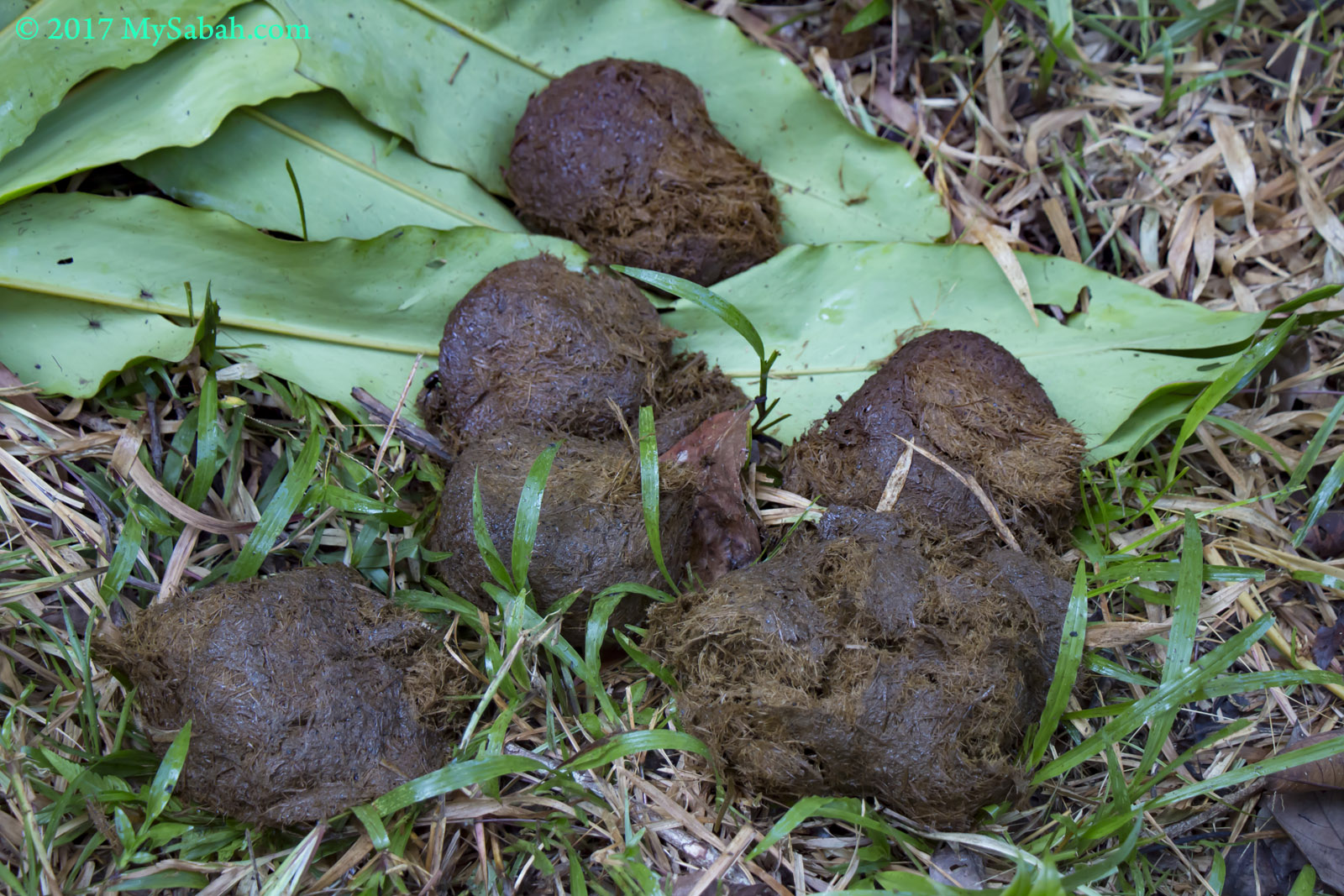
Fresh elephant dungs in the forest

We saw some fresh elephant dung along the trail. The trail was quite flat so it didn’t take much effort to reach Ali Baba Waterfall.

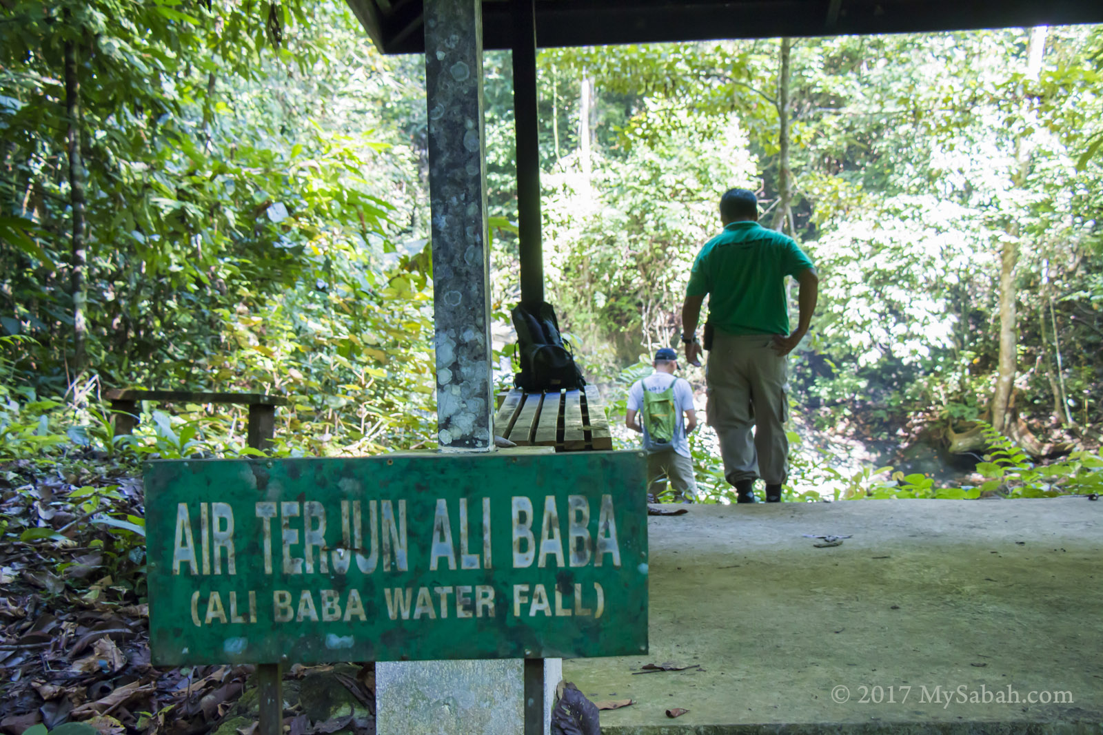
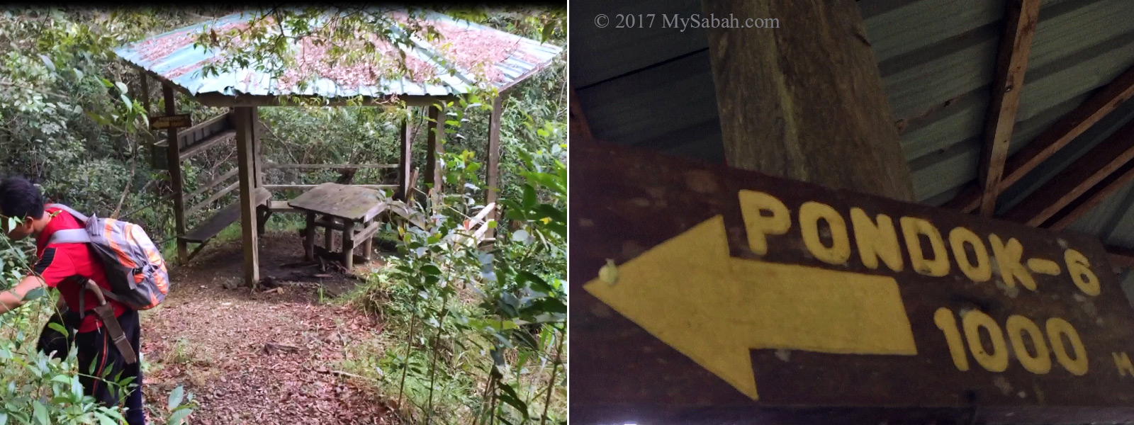
The gazebo next to Ali Baba Waterfall

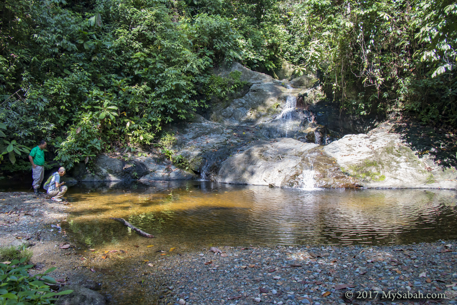
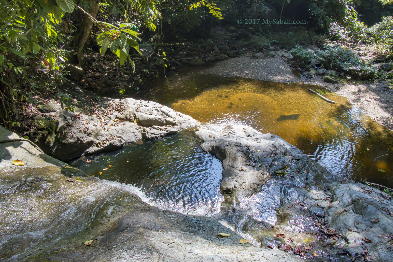
The water of Ali Baba Waterfall is from the unpolluted rainforest

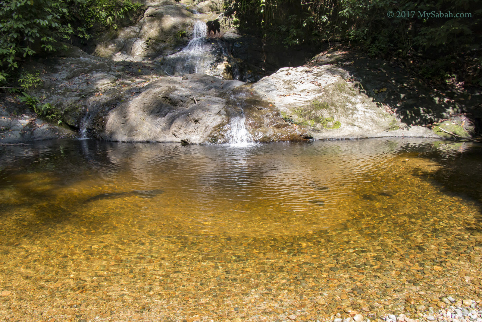
The tea color of Ali Baba Waterfall is from the tannin of rainforest plant

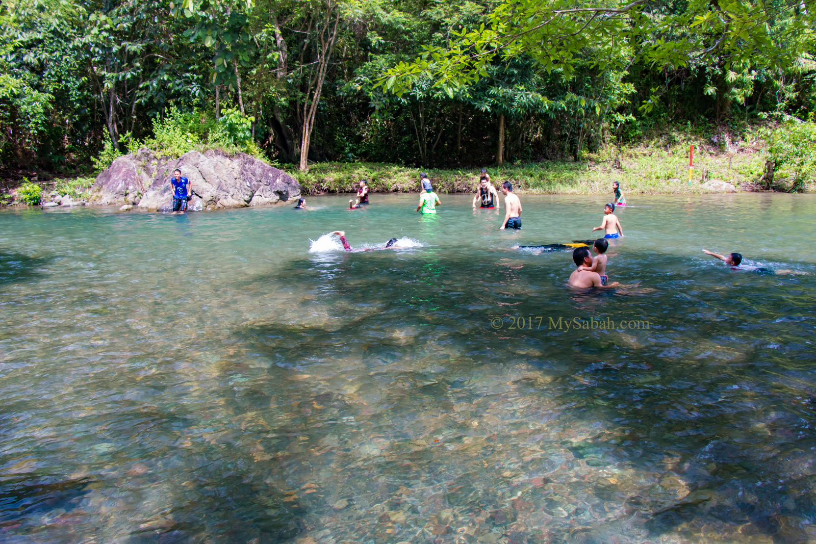
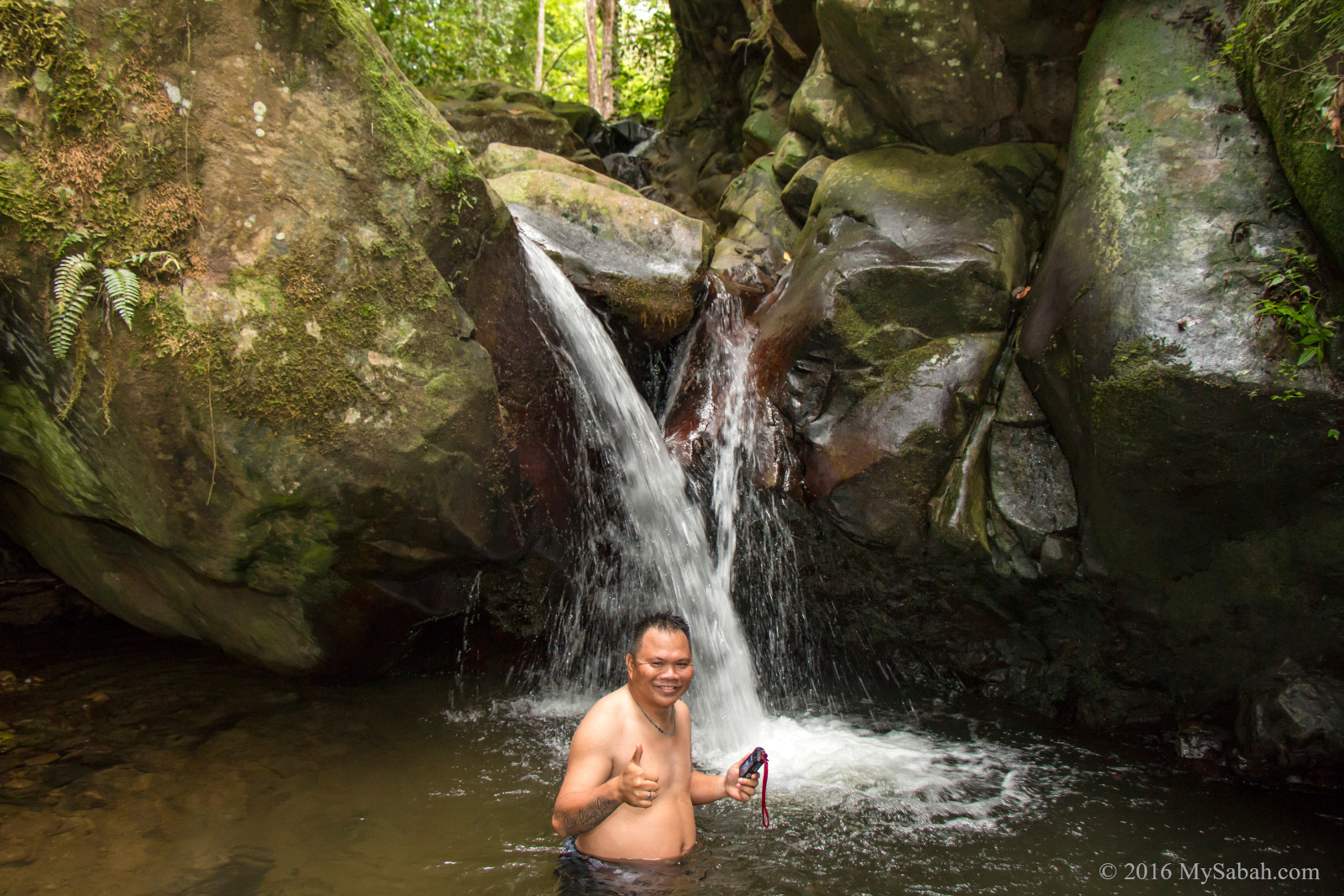
It’s dry season so this waterfall pond wasn’t deep for a swim but good enough for a dip. Do you know gold can be found in river of Danum Valley? I tried to see through the clear water hoping to find a gold nugget or two. The water appears golden color because of natural tannin from the plant rot in water.
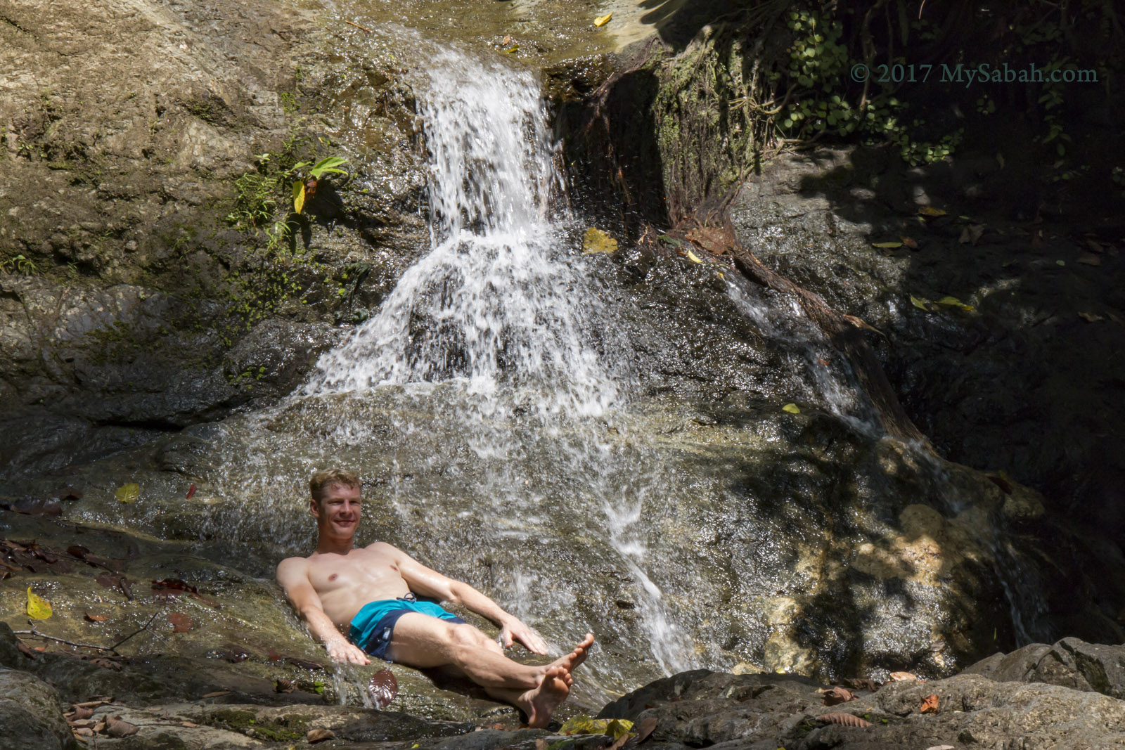
Playing Tarzan lol

With me was a friendly European couple. The guy stood in the water and started giggling hysterically. Thinking that he found gold, I walked closer and found that he was actually excited with the small fishes nibbling his feet like giving a fish massage.

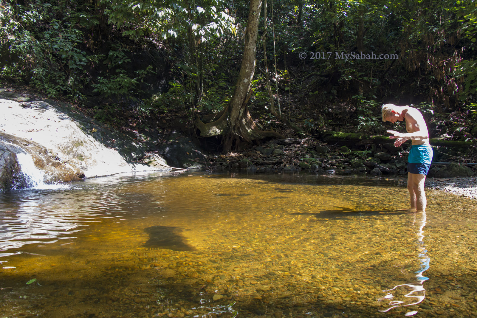
Something cute nibbling the feet of tourist

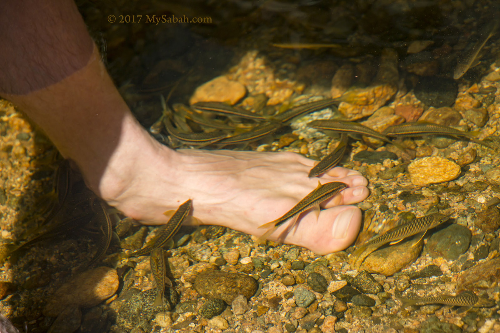
Fish massage in the pond of Ali Baba Waterfall

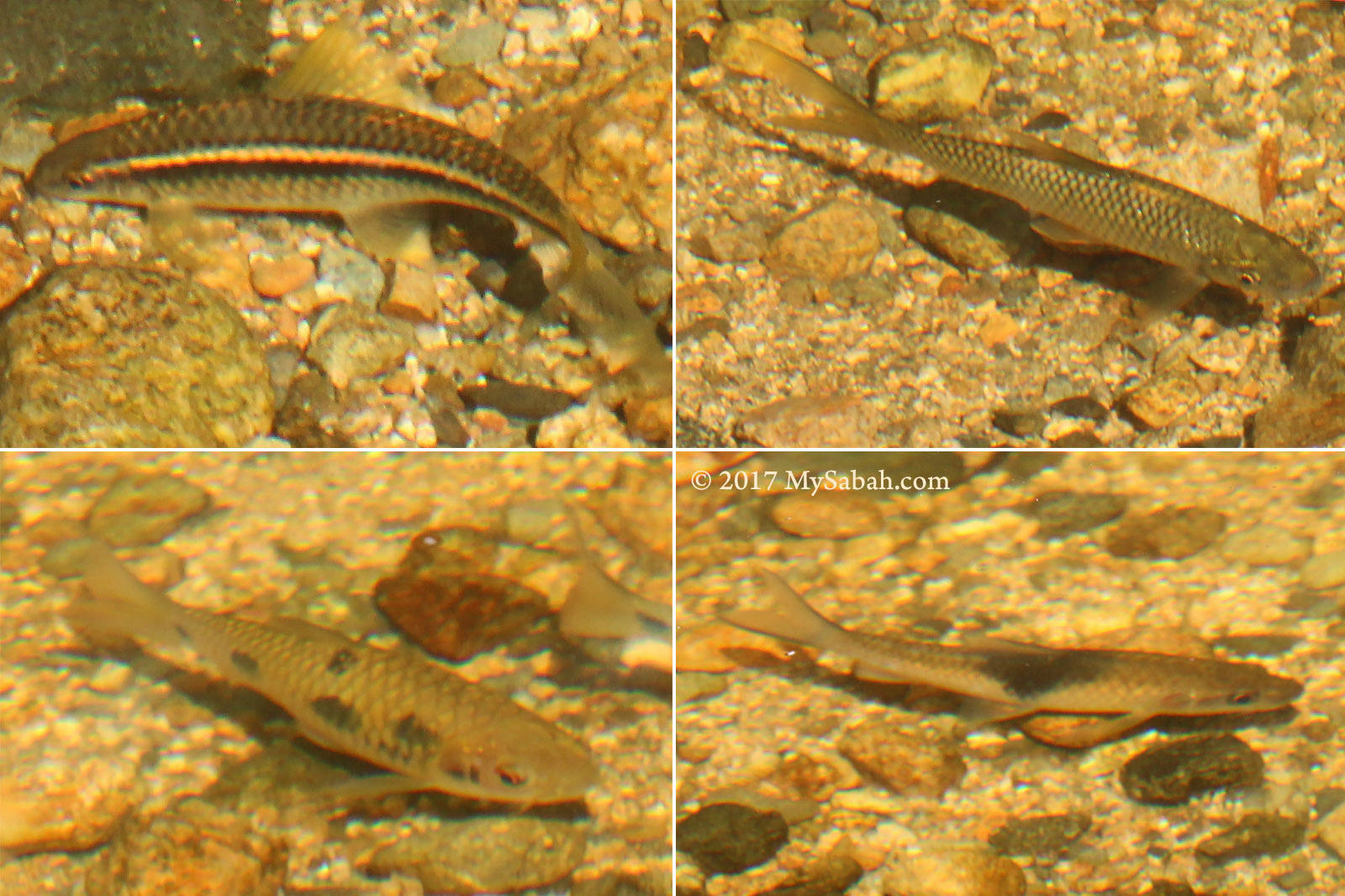
Different fish species in the water of Ali Baba Waterfall

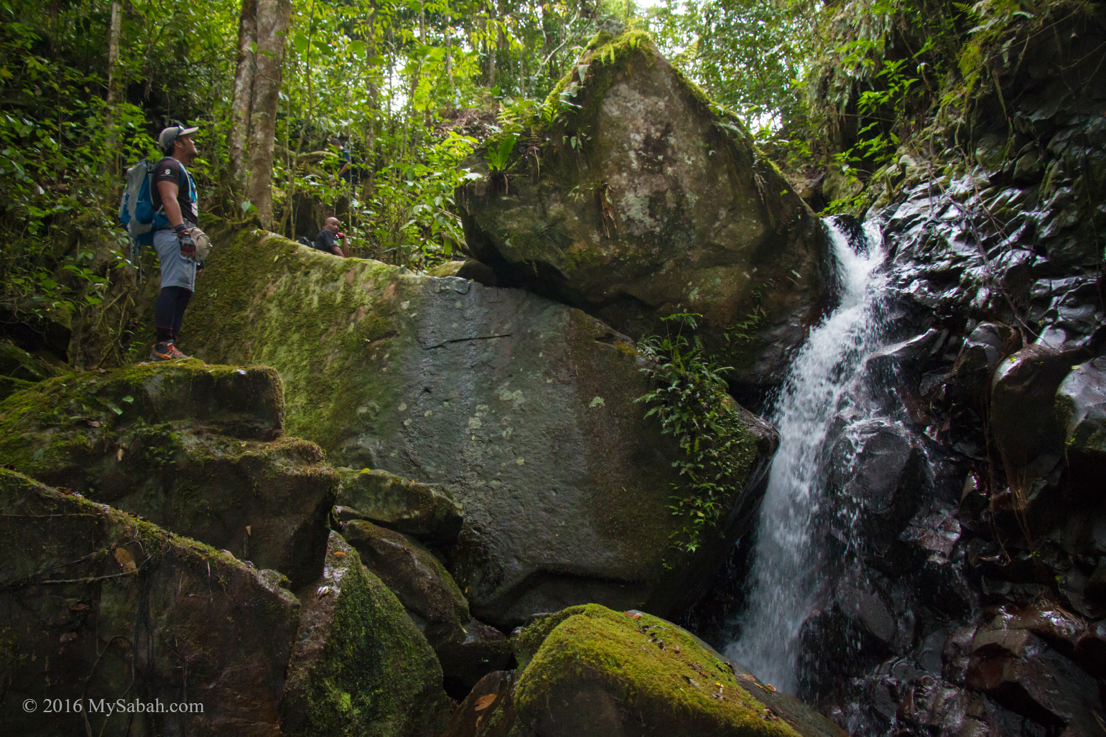
We climbed up the cascading waterfall and saw two more waterfall ponds. One of them is 4 Meters deep. The handsome man is keen to be my model to play Tarzan in my photos. Thank you friend.

The waterfall pond of Ali Baba Waterfall

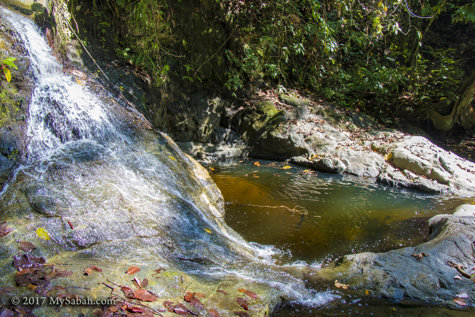
The waterfall pond of Ali Baba Waterfall is a bit deep. Note the safety rope in the water.

Tourist enjoys running stream of Ali Baba Waterfall

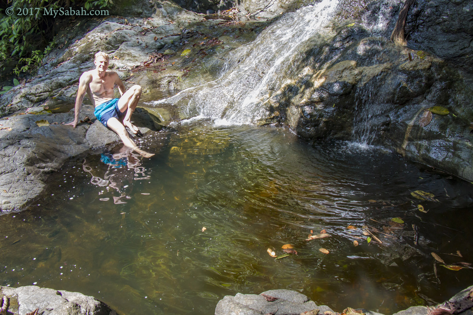
You can swim in the waterfall pond
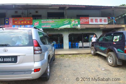
How to get there

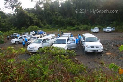
KDRL is located in Lahad Datu district, east coast of Sabah, Malaysia. No walk-in tourist to the lodge allowed. Without a permit for you and your vehicle, you will be blocked from entering this protected forest. You must book the accommodation with the operator Borneo Refugia in advance. Below is contact information and more details for you to find out more:

Tel: +60 88-267637 (Kota Kinabalu office), +60 89-862451 (Lahad Datu)
E-mail: info@borneorefugia.com, ann.neogia@gmail.com
Facebook: Kawagdanumrainforest
Website: borneorefugia.com
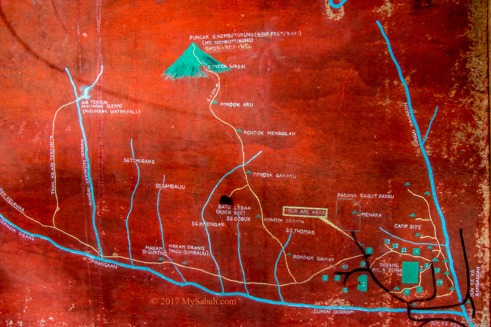
GPS Coordinates: 5.049416, 117.972651 (see Location Map)

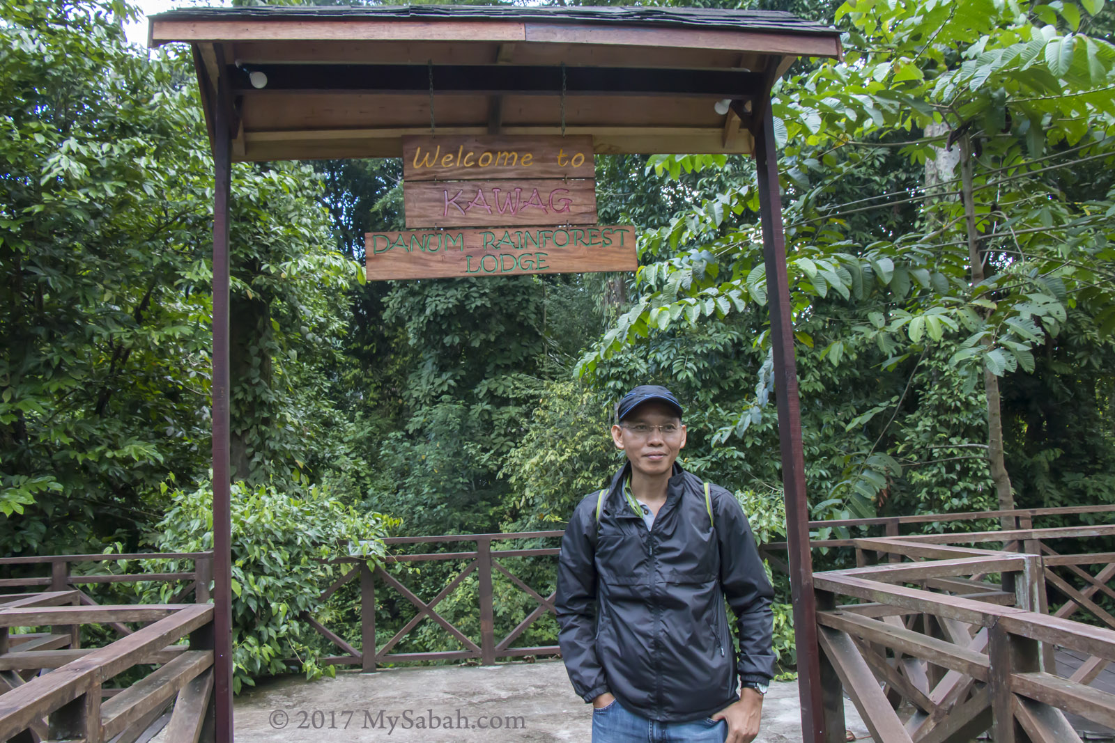
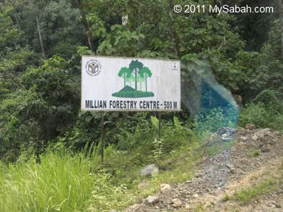
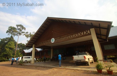
Entrance to Kawag Danum Rainforest Lodge (KDRL)

A 3-day-2-night full board tour package costs around MYR2,000 per person (about USD480), which includes accommodation, return transfer (between Lahad Datu Airport and KDRL), meals, guiding service, and permit. Check their Facebook before booking, sometimes they have deep discount promotion.

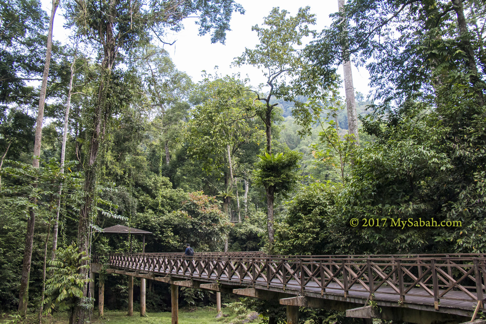
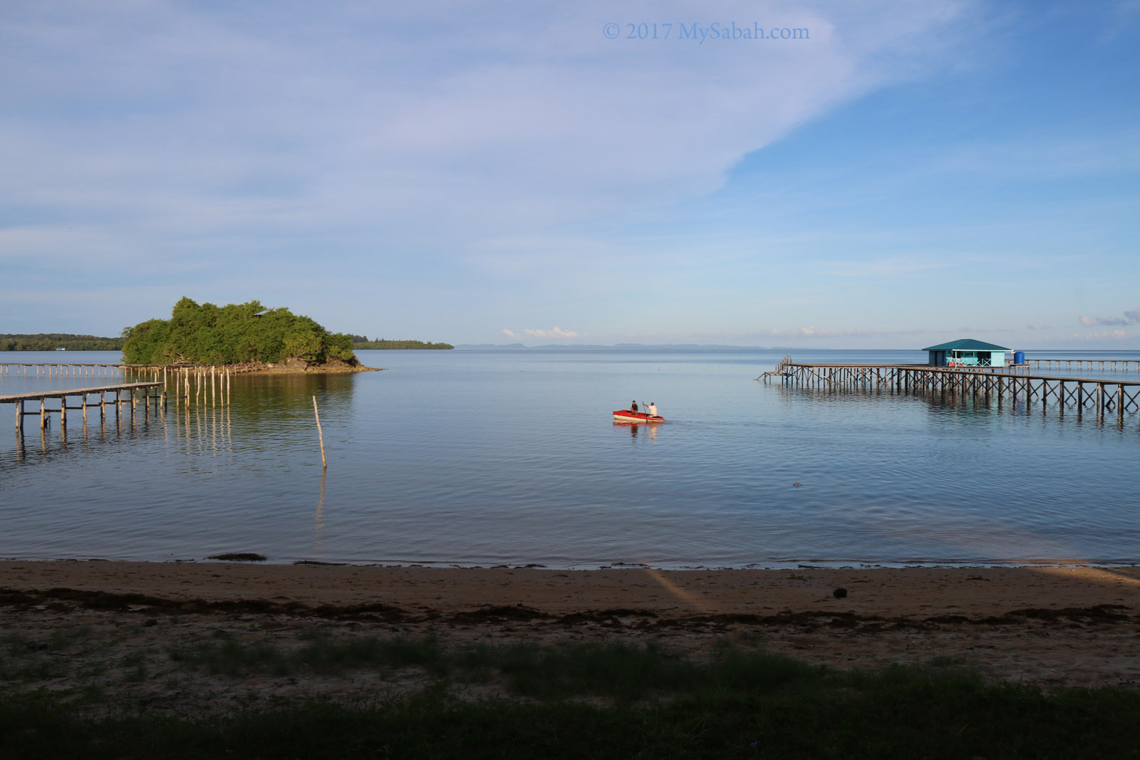
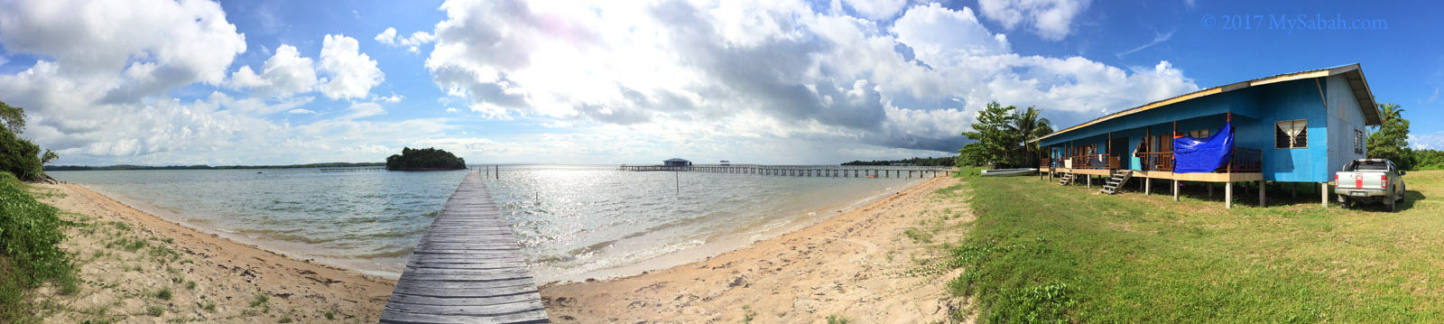
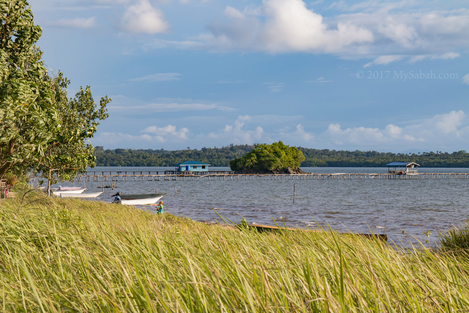
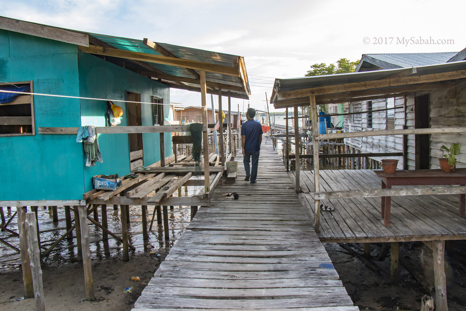
Long boardwalk to Kawag Danum Rainforest Lodge (KDRL). Sometimes elephants walk under it.

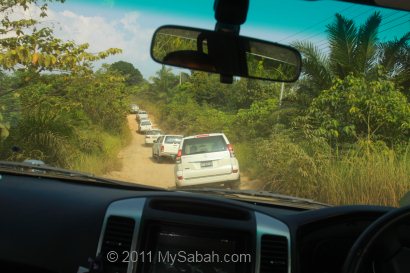
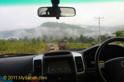
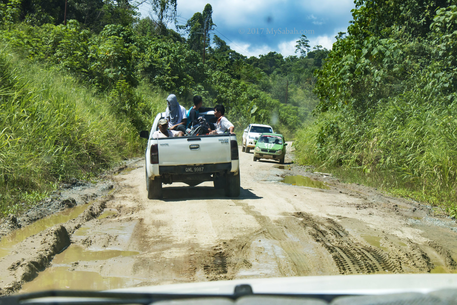
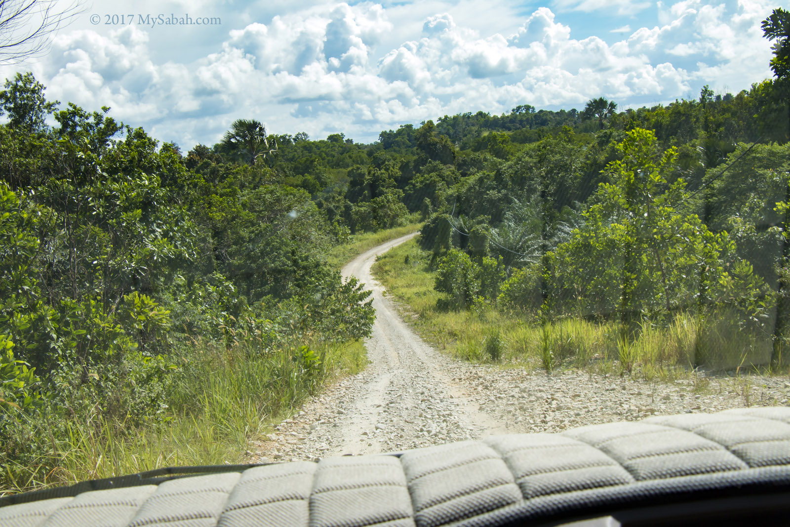
They will pick you up at Lahad Datu airport, and drive 1 hour 45 minutes on 52-Kilometre gravel road to the lodge. You need to get your own flight ticket (from Kota Kinabalu to Lahad Datu) via MASwings airlines, which is available every day.

Things to Bring

Clothing, towel, toiletries, swimwear, anti-leech socks, raincoat / poncho, insect repellent, hiking shoes, flashlight, sandal / slipper, backpack, camera, phone and power bank.

Photos taken in Lahad Datu, Sabah, Malaysia Borneo

Expedition to the Center of Sabah

As Tip of Borneo is one of the most visited attractions in Sabah, “Center of Sabah” could be the next popular destination. In theory, if you thread a string through the center of a cut-out cardboard map of Sabah, the cardboard should hang flat in the balance. However, the work to pinpoint the exact Center of Sabah is far more complicated and takes years to find out. Since 2006, Royal Institution of Surveyors Malaysia (RISM) had been collecting reading from 18,600 points along the Sabah coastline to calculate the Center.


The coordinates of the geographical Centre of Sabah is determined at Latitude 117°7’01.8″ East and Longitude 5°+20’38.4″ North (N 5°20’38.4″ E 117°7’01.8″), which is on the top of RISM Hill (Bukit RISM) in the Pinangah Forest Reserve near Telupid (about 280 Kilometers away from Kota Kinabalu city).


For the launching of the Center of Sabah, RISM organized an expedition team of 54 members, comprised of people from RISM, Sabah Surveying and Mapping Department, Sabah Land and Survey Department, Sabah Forestry Department, Sabah Tourism Board and media, to visit the Center of Sabah. The flag-off ceremony was carried out in Tun Fuad Stephens Park at 8:35am on 30 Sep 2011.


We departed in a convoy of more than 10 4-wheel drive. We stopped by Nabalu town briefly for breakfast.


Our expedition team also had lunch at Telupid town around 2pm.


Then we entered a dusty, rocky and gravel road at a junction after Telupid at 2:45pm. The ride was bumpy and we saw oil palm plantation most of the time. We also saw a few logging trucks on the way.


Above: passing by Tongod. It’s a remote area of Sabah.

Millian Forestry Center


Above: reaching Pinangah Forest Reserve, where poaching is strictly prohibited.


Our group reached Millian Forestry Centre around 4pm. We spent a night here, before departing to the Center of Sabah in next day.


The accommodation of Millian Forestry Center is basic but quite comfortable. Electricity supply is available (though there was a blackout of 30 minutes). For a shared room like photo above (with air-conditioning and attached bathroom), it’s only RM40 (about USD12) per person per night. For VIP room, it’s RM60 (about USD19).


You can ask them to prepare meal for you (RM20-RM25 per head). They have a nice dining room too. I’m not the fussy kind of tourist who would complain about food not serving on hot plate. With such facilities in forest, it’s better than what I expect. You may contact Yayasan Sabah for booking of room.


Because Millian Forestry Center is in the wilderness, it’s nothing to do at night, so I just took a night walk to explore the jungle nearby.


Anyone knows what is the name of the insect above?

Day 2

After a nice breakfast in next morning, we checked out at 6:30am and headed to the base camp of Pinangah Forest Reserve, which is about 35-minute drive away and the starting point of the trail to the Center of Sabah.


On the way, most are excited about the trip but also a bit worried about the leeches, the little blood suckers in rainforest of Borneo.


The base camp is only a big open space. We parked our 4-wheel drives there and ready for the climb.


Above: marking attendance and briefing before the climb.


The Center of Sabah is located on top of RISM Hill (Bukit RISM), with a height of 584.2 Meters above the mean-sea-level and inaccessible by car, so we have to walk 3.6 Kilometers of jungle trail in Pinangah forest to reach the Center. Personally I like it because it is like an adventure.


We crossed 3 rivers along the way. We also pass by a small waterfall and the water is so clean and refreshing.


The “fern path” at the beginning is a nice view. Very soon we entered the dense and humid secondary forest. A recce team had marked the trail with white paper the day before, so we wouldn’t lose our way. The trail is nature and have no support such as boardwalk, rope and ladder. Some little brown leeches are lurking in the damp forest ground, creating panic among the ladies, fortunately not too many leeches around today.


Above: take a break in halfway


As hunting is not allowed here, we can see the traces of wild animals living happily here, like the wallow of wild boar shown in photo above.


After an hour, a guide shows us his GPS device and tells us the Center is only 500 Meters ahead, as if it is only a few minutes away. We are motivated to move faster, only to find that we are still an hour away from the destination!


The trail is mostly ascending and about 15° in inclination, with 50° for the steepest part. I’m experienced in jungle trekking so I would call this a hiking instead of climbing. The only problem is the crawling plant on the floor that we would trip over.


To reach the Center before noon, I was in a hurry and didn’t actively look for interesting flora and fauna. Anyway, I spot tractor millipede, centipede, ginger and some fungus. Someone even saw a small snake being eaten by a centipede. Too bad I miss that.

Reaching the Center of Sabah

Even though the climb is not overly challenging, the hike is still taxing. Finally I arrived the Center at 9:30am.


The climb usually takes 2 to 3 hours, depending on how fit you are. Most of us reached the Center before 10am.


Of course we won’t miss the opportunity to photograph the victorious moment. More climbers come and all of us make it!


With the special permission of the Sabah Forestry Department, for more accurate GPS reading and better view, the hilltop had been cleared so that we get an unobstructed panoramic view of the surrounding hills from the Center of Sabah. We can even see our cars from the hill (see photo above). Can’t believe we make it that far.


The surrounding view of the Center on RISM Hill is mainly forest and mountain range, a lovely sight.


The day is getting hot, so most of us take shelter under a makeshift camp built on a helipad. This helipad was constructed to facilitate helicopter landings. 4 tons of building materials such as cement was brought to the top by helicopter.


When everyone has arrived, we have a simple unveiling ceremony of Center of Sabah Monument.


Above: we are right in the middle of Sabah!!!


Above: there is a logo embedded at each side of the monument, which acknowledges the 4 organizations that make this project a success. The official launching of the Center of Sabah coincides with the 50th anniversary celebration of the Royal Institution of Surveyors Malaysia (RISM) in year 2011.

The Centre of Sabah is marked with a survey control point named M500 – Bukit RISM planted at the peak by JUPEM.


There is a toposcope on the monument that shows the direction and distance to the popular attractions in other parts of Sabah, for example, Kota Kinabalu, Tenom, Ranau, Kudat, Sandakan, Lahad Datu, Beluran, Beaufort, Long Pasia and Semporna.


Above: a group photo to conclude the end of our expedition.

You may watch the 3-minute video below to see the overall Expedition:

How to get there

As there is no travel agent selling tour package to Centre of Sabah, you will need to arrange your transport, meals, entry permit and guide on your own. It’s not difficult, but you have to communicate with a few parties back and forth. Basically, there are three main tasks:

1. Get a Permit

Because Centre of Sabah is located inside a protected forest reserve (Pinangah), you need to apply an entry permit from Sabah Forestry Department (SFD). Just write to the Director of SFD in Sandakan HQ to request for permission. In your letter, please state:

  1. Number of people going (include your driver too), with details such as Name, ID and Nationality
  2. Date of your visit
  3. Purpose of your visit (i.e. visit Centre of Sabah)
  4. Your contact (phone, H/P, fax, e-mail)
  5. You may request for a guide. I’m sure they will send forest ranger(s) to go with you anyway

*SFD may collect permit or guide fee

Look for general phone number of SFD in Sandakan in their website. Ask for the correct fax number or mailing address to fax / send your letter. They are very efficient and usually get your application processed on next day, but I advise you to apply at least one or two week earlier, because you may need to do paperwork and make payment.

2. Booking the Accommodation

You may spend a night in Millian Forestry Centre (of Yayasan Sabah Group), which is near to the starting point of your climb. Below is the price list of their accommodation and services (rates of Year 2014/2015), and the phone numbers for booking.

Pic: please note you need to add 6% GST Tax on top of final amount

Besides booking a room, you also can pre-book your meals with them. You also find more details at the Facebook of the Centre of Sabah.

3. Other Things

For example, if you don’t have a 4-Wheel Drive, you will need to rent one. You better buy insurance for your trip. Here are some recommended things to bring: backpack (with rain cover), raincoat / poncho, mosquito repellent, anti-leech socks, drinking water, energy bar, GPS device, extra clothing / socks, toiletries.

More Photos

You may check out my photo album if you want to see more nice pictures:

Photos taken in Telupid, Sabah, Malaysia Borneo

Malubang, a beautiful fishing village in Pitas

When I was on a quest to explore the legend of Supirak, I found myself another wonderful seaside vacation at Malubang Village (Local Name: Kampung Malubang), a remote fishing village in Pitas near the tip of northern Sabah. Spend a few days there and you will experience a simple village life without electricity, Wifi, water heater, air-conditioner, asphalt road, etc.

Malubang Village (Kampung Malubang) in Pitas, north of Sabah

Kampung Malubang (Malubang Village)

Malubang Village is located at a beach in Marudu Bay. Most villagers are Sulu people who mainly work as a fisherman. Every morning you can see their fishing boats depart for fishing trip.

Every house owns a boat in Malubang Village

Malubang is facing Kudat town and Tip of Borneo is clearly visible at the horizon. In fact, Kudat is less than an hour away by boat, and Banggi Island takes about 20 minutes.

A fisherman fixing his fishing net

Some houses are still using well for water supply

Though tourists seldom come here, the friendly villagers are ok with outsiders taking a stroll in the village. They are shy but smile a lot. It’s a small fishing village with about 30 houses. Foreigners would find the fence-less stilt houses there interesting.

A house with colorful hanging clothes

During my visit, there was an open house wedding reception (of Mizrul and Mastura) in the village. They were kind to invite me to have lunch with them and watched them dancing and celebrating.

Married couple Mizrul and Mastura

Group photo with the cute village girls who dressed up for wedding function

This village is a close community, in contrast to city. I confess I don’t know most of my neighbours and never visit their home too. May be it’s not only me.. Nowadays kids in same neighbourhood don’t mix around. In old days, I went cycling, fishing and climbing tree with my young neighbours, so Malubang brings back memory.

I enjoyed every moment in Malubang. The only thing I don’t like is that a lot of rubbishes washed up to the shore there.

Supirak Legend

Supirak Island and its surrounding legendary rocks are the main attractions of Malubang (as well as Pitas district). Legend says Supirak Island was a ship turned into a rock due to a curse by mother to her ungrateful son.

Cruising around Marudu Bay

At Malubang, you can charter a small boat easily (for less than MYR80) to visit these island and rocks around the bay, as every villager owns a boat (life vest may not be provided).

Rocks and wells of Supirak legend

Besides Supirak Island, there are many other places of interest in Pitas, to name a few, traditional fishing platform named Bagang, long-nosed monkey in mangrove forest of Bengkoka River, and Esplanade Bengkoka. Due to limited tourism facilities and lack of promotion, Pitas isn’t a popular destination.

Accommodation

Malubang Homestay is the only accommodation in Malubang Village. At the edge of Malubang, the lodge is a longhouse style accommodation with 6 Rooms. The rate is MYR40 to MYR50 (about USD$10 to 12.50) per room per night. It could be fully booked during peak season such as school holiday.

Malubang Homestay is the blue building under the yellow pointer

Rooms of Malubang Homestay

Each room is big enough to fit a group of 3 to 4 people, and it comes with attached bathroom cum toilet, beds, and fan. You can cook in common kitchen area, but you need to bring your own cooking utensils.

What we ate in Malubang Homestay

Please note there is no restaurant in the village. You can request the lodge to prepare the meals for you (Fee per head: Breakfast MYR4.00, Lunch MYR10.00, High Tea MYR2.00 and Dinner MYR10.00).

Enjoy meals with sea view

Everything in this lodge is basic. Power supply is only available from 6pm to 6am (by power generator), which provide lighting and sufficient electricity to charge your phone and camera.

The view in front of Malubang Homestay

But hey, the nice sea view makes up for it, and beach is less than 20 Meters away. Some beach resorts want guests to pay thousands for such view. The little rocky island at the left is Bum-Bum with a half-completed jetty (lack of fund to finish).

Malubang Homestay and its beach

There was no mosquito net in the room. To prevent mosquitoes eating me, I had to position the standing fan to point to my bed to blow those buggers away.

Malubang Homestay in Pitas

For booking, you can contact Mr. Moktar at cellphone: +60 19-8212597 (Whatsapp available). Moktar is Orang Sungai married with 5 kids. He starts the lodge in 2008. The GPS location of Malubang Homestay is 6.956184, 117.060140 (see Location Map). Moktar also can arrange the tour and boat transfer to visit the attractions nearby.

Seafood feast, a treat by Moktar!

Most guests are families from Pitas and Kota Marudu. Moktar will be happy to receive some international tourists. He understands that his lodge could be better, so he plans to improve his accommodation.

Fat crab with juicy meat

When we were ready to check-out, Moktar was missing in action for nearly an hour. Then he suddenly showed up and brought a covered plate, with mysterious smile on his face. He cooked us a big plate of yummy and steaming fresh crabs. Thank you Moktar! You are such a nice guy.

Sunset

Malubang Homestay is facing west, so you can enjoy watching giant yolk sinks into sea every day. I need not to say more.

Beautiful sunset at Malubang

Magic hour of Pitas

After dusk, the brightest thing at night here is the city light of Kudat at the horizon. Power line hasn’t reached this village yet.

Fishing

You might think that this peaceful fishing village becomes even quieter after nightfall. Wrong. Many villagers, both young and old, are busy fishing at the jetties at night. FYI, Malubang Village is famous for fishing giant squid (Sotong Gergasi), which can weigh up to 6 Kilograms and abundant from Oct to Feb every year. Now I understand why every visitors brought a fishing rod.

Local anglers got busy after sunset

Malubang is so lucky to have 3 jetties that extend a few hundreds Meters to the sea, so the people can fish anytime, even during low tide. I didn’t bring a fishing rod, so I was just busybody and check out what they caught. There were mainly stingray and fishes, some are over 2 Kg, quite big.

Many locals come to Malubang for fishing holiday during weekends

FYI, my Maxis mobile phone got one bar of signal at the end of the jetty, enough for me to check Whatsapps and emails.

Milky Way

It’s quite windy in the evening. I felt so relax laying on the platform of jetty and enjoyed the sea breeze. The sky was full of stars and shooting stars appeared almost every few minutes, some are quite big and last 4 or 5 seconds.

Pitas is a good place for stargazing

That’s crazy that by 7:30pm I already could see Milky Way spanned across the sky like a silver belt. I didn’t know Pitas is an excellent place for stargazing.

Kampung Pansuran

I also walked around Kampung Pansuran (Pansuran Village), a smaller fishing village about a stone’s throw from Malubang Village. Most residents there are Bajau Sama people.

View from Kampung Pansuran Village

Visit the water village of Kampung Pansuran

The villagers there are also equally nice and friendly. They were busy with fish caught and dried some of them under the sun to make dried seafood.

A young fisherman in Kampung Pansuran Village

Dried fishes on boardwalk of Kampung Pansuran Village

They still use traditional fishing methods such as fishing net and fishing line. Pitas is famous for its dried seafood.

Dried stingrays and fishes

Talking about village life, you might visualize I become a shirtless muscle guy playing soccer and laugh with the local kids, a cliche scene common in many movies. No, I didn’t do that, LOL.

Mondou Hill (Bukit Mondou)

To make sure I didn’t miss out any attraction near Malubang Village, Moktar took me to Bukit Mondou, a small hill only a few minutes drive from the village.

Mondou Hill (Bukit Mondou) in Pitas

Though Bukit Mondou is the highest point in Malubang, it is less than 80 Meters high, and it took us less than 30 minutes to reach the top. The trail is mostly flat and not challenging at all.

Climbing Mondou Hill (Bukit Mondou) in Pitas

However, the trail is not tourist-friendly and covered by long grasses. Please don’t go there alone.

You can see Berungus from the top of Mondou Hill (Bukit Mondou)

The view on top of Bukit Mondou is nice, as you can see Supirak Island and have a panoramic view of Malubang and Marudu Bay.

How to get there

From Kota Kinabalu City (KK), you need to drive about 5 hours to reach Malubang Village. The first 3 hours drive from KK to Pitas town is on 140 KM of paved road in good condition. The last 60 KM further north from Pitas to Malubang Village will be a bumpy 2-hour ride on gravel road.

The distance from Pitas town to Malubang Village is about 60 KM

Therefore, you need 4-Wheel Drive to enter this remote place. Though small sedan such as Kancil also can make it, it’ll be a pain to move around the potholes, mud ponds and uneven surface. The GPS Coordinates of Kampung Malubang is 6.956184, 117.060140 (see Location Map).

Gravel road from Pitas town to Malubang Village

It’s advisable you stop by Pitas town to have lunch and fill up the gas tank. For first timer, avoid to drive there at night because there is no street light along the way. Please also note that Uber and GrabCar aren’t available in Pitas district. Internet and mobile phone coverage are limited in most part of the journey.

Moktar pointing at Kudat town

Shopping for dried seafood (e.g. dried shrimps, salty fishes) in Pitas

Btw, one the way home, you may buy some dried seafood from the roadside stalls around Pitas, for great bargain.

Photos taken in Pitas, Sabah, Malaysia Borneo

Serinsim, a different face of Kinabalu Park

A family is having a hard time to plan a holiday trip at a destination that makes everyone happy.

Grandfather: “I want to learn some local history and legend.”
Mother: “How about a BBQ feast?”
Father: “Let’s climb a mountain.”
Son: “Camping and jungle trekking will be fun!”
Daughter: “I love swimming in river.”

Location of Serinsim (Sorinsim) and Kinabalu Park

Finally they decide to visit Serinsim (or Sorinsim) in Kota Marudu, which has all these. There is no second place in Sabah where we can find river, waterfall, forest, cave, mountain and historical site in one park.

Signage to different attractions inside Serinsim. It’s ok if you can’t read Malay. I’ll tell you what they are later.

Serinsim is a substation in northern part of Kinabalu Park, the first UNESCO World Heritage Site of Malaysia. Lies between the Serinsim and Kanarom rivers, the river of Serinsim is straight from the undisturbed rainforest and mountain, so its water is crystal clear and almost as good as Spritzer.

Kanarom River in Serinsim (Sorinsim)

You may be familiar with the mountainous zone in Kinabalu Park HQ in Kundasang highland. Serinsim is at opposite side of HQ, which is dominated by lowland rainforest, shows different face of Kinabalu Park. Most locals only come here to enjoy the cooling river, without knowing that Serinsim has the following special attractions:

1. Mount Nombuyukong (Gunung Nombuyukong)

With a height of 1,603.57 Meters, Mt. Nombuyukong is 976 Metres lower than its sister peak, Mt. Tambuyukon, the third highest mountain of Malaysia. Mount Nombuyukong can be conquered within a day.

Mount Nombuyukong in Serinsim

>> Read about the challenging climb to Mt. Nombuyukong…

2. Bat Cave (Gua Kelawar)

Gua Kelawar is a small cave about 200 Meters long, and it is for the adventurous you who like the idea of exploring the unknown. *Hint:* many creeping critters in the darkness. I saw rare mushroom and endemic begonia outside the cave.

The rocky wall of Bat Cave (Gua Kelawar) in Serinsim

>> Read my scary story inside Bat Cave…

3. Misumpak Waterfall

Serinsim is more than a park for swimming and picnic only. Do a jungle trekking to visit the 12-Meter Misumpak Waterfall. Soaking in its cooling ponds will be one of the best nature experience, I promise. You would see hornbill, civet, red leaf monkey, orangutan and other wildlife on the way.

Misumpak Waterfall and its pond

>> Read more about Misumpak Waterfall…

4. Gambaliu, the Tallest Man in the World

According to the local legend, a giant named Gambaliu lived here about two to three thousand years ago. With a height of 24 feet, Gambaliu is taller than giraffe. He was a gentle and helpful giant. However, what his people did after he died was sort of… heartless.

Tomb of Gambaliu, the tallest man

>> See the Tomb of Gambaliu…

5. Sigunting Graveyard

Sick of those cliche movies about superheroes saving the mankind? Let’s hear the story of real Sabah hero, Si-Gunting, who fought British imperialism for 7 years.

Graveyard of Sigunting, a Sabahan hero

>> Read more about Sigunting…

6. Deer Farm

About 120 Meters from the hostel (Asrama Kanarom) is a 0.5-Acre of fenced and forested Deer Farm. The best time to visit is the feeding time at 2pm, the time about 10 Sambar deers show up for jackfruit, tapioca leaves, banana, and fruits given by the Park.

Deer Farm of Serinsim. Visitors can walk up to the tower for better view.

Below is the trail and layout map of Serinsim. Please note that for most jungle trekking activities, you are required to hire a guide from the Park, which can be arranged easily one day in advance.

Trail map to different attractions in Serinsim. Translation: Pejabat = Office, Galeri = Gallery, Pondok = Gazebo, Pelawat = Visitor, Tapak Perkhemahan = Camping Ground, Tandas Awam = Public Toilet, Dapur = Kitchen, Sungai = River, Sg. = River, Anak Sungai = Small River, Jalan Raya = Road, Jambatan Kerata = Bridge for Car, Air Terjun = Waterfall, Makam = Grave, Puncak = Peak, Kem = Camp, Ke = To

Accommodation

Three chalets and one hostel are available to accommodate three families and 24 people respectively in the Park. Below is a quick comparison of the price. The rate is as of July 2017, and GST tax is included.

Accommodation TypeRate per Night
CampingAdult: MYR5.30 (≈USD$1.32)
Below 12: MYR2.15 (≈USD$0.53)
Hostel (Asrama Kanarom)Adult: MYR42.40 (≈USD$10.60)
Below 18: MYR31.80 (≈USD$7.95)
Chalet1 Chalet: MYR318.00 (≈USD$79.50)
1 Room: MYR106 (≈USD$26.50)

Notes: Check-out time is 11:00am. Non-halal food such as pork is forbidden in the accommodation. The accommodation is not well-maintained. Before you unpack your luggage, make sure everything in your room is functioning (e.g. water supply, light, air-cond). Just in case anything is broken, you can change to other room quickly.

Asrama Kanarom Hostel

Asrama Kanarom Hostel is a dormitory-style one storey building which has four bedrooms, common toilet + bathroom and kitchen. Each room has 6 bunk beds, so this hostel can host about 24 people.

Asrama Kanarom Hostel in Serinsim
Interior of Asrama Kanarom Hostel in Serinsim

The fee for each bunk bed in hostel is MYR42.40 for adult and MYR31.80 for kid (below 18 years old). The room has air-conditioner, and pillow and blanket are provided. It’s an economic choice for budget travelers and student group who don’t mind to share room.

Bunk beds in Asrama Kanarom Hostel

The kitchen has gas stove, cooking and dining utensils for use by the guests. Electricity and water supply are available all time.

Kitchen of Asrama Kanarom Hostel

However, there is no private bathroom. Guests can share the common unisex toilet and bathroom. Sorry, no water heater for a hot shower, but you can boil hot water in kitchen like what I did.

Toilet cum shower room, cooking area, utensils and refrigerator in Asrama Kanarom Hostel

One nice thing about this hostel is that it’s located next to the starting point of trail to all nature attractions.

Chalets

There are three chalets in the Park. You can book the whole chalet for MYR318 per night, or rent a room for MYR106. Each chalet has three rooms (two of them are single bed). Each chalet is limited for 6 people. For additional guests, you need to pay extra MYR30 per person.

There are 3 chalets in Serinsim Substation
Chalets of Serinsim

Each room has an attached bathroom cum toilet. Heater for hot shower is not available. Soap and towel are provided for the guest. Every room has air-conditioning.

Chalet of Serinsim (or Sorinsim). At the left is Mt. Nombuyukong
Bedroom, living room and kitchen of Serinsim Chalet

Camping

Camping ground is also available to those who desire a more nature experience. For adult, the camping fee per night is MYR5.30 and MYR2.15 for child below 12. You can rent a camping tent for MYR30/day at Sabah Parks office, or bring your own.

Camping ground of Serinsim
Gazebo and benches at camping site

The campsite is just next to the river. There are gazebos, benches, public toilet and kitchen nearby that area.

Campers in Serinsim
Kitchen near camping ground

There is no lighting at night, so you better bring your camping light and torchlight.

Barbecue party at the hostel

There is no TV, karaoke and night life in the park, so you will get bored in the evening. Do plan some fun activities for the night, for example, board games, BBQ party, strip poker, watch movies on laptop.

Playing Uno in the hostel (Asrama Kanarom)

By the way, Kota Marudu is famous for its maize. You can buy some along the way and grill it, it’s delicious.

Layout Map of Serinsim Substation

Don’t be impressed by the facilities listed in the map above. Everything in Serinsim is basic, nothing 5-star. For example, the so called soccer field is just a grassland. The restaurant never opens and there is no gallery.

How to get there

Serinsim is about 32 KM from Kota Marudu town and 130 KM away from Kota Kinabalu City (capital of Sabah). This substation is now highly accessible after asphalt highway is complete in 2013. The GPS coordinate is 6.293915, 116.707986 (see Location Map).

Asphalt road to Serinsim in Kota Marudu

In the past you needed a 4-wheel drive to get in. That might be the reason why Serinsim is one of the least explored parks in Sabah. There is no bus goes directly to Serinsim.

You will pass through Marak-Parak Village and Sorinsim Village before you reach Serinsim

You also can go to Serinsim from Poring Hot Springs, the 46-KM road is in good condition.

Signage at the entrance. Translation: Welcome to Kinabalu Park, Serinsim Sub-Station, Kota Marudu

Things to Note

For a better travel experience at Serinsim, please take note of the following:

  1. There is no restaurant in the Park. You can prepare your own food in their kitchen, buy food from villages nearby (The shops are usually roadside residential run by villagers with signage such as Gerai Makan (Food Stall) or Kedai Runcit (Grocery Store)), or drive 30 minutes to Kota Marudu town looking for restaurant.
  2. The mobile line coverage is none or poor in the Park. My Maxis line got 0 bar. Celcom may work. Anyway, let’s prepare to be offline there.
  3. Bring insect repellent. There are mosquitoes in shaded area during dusk and dawn.
  4. There is a grocery shop and cafe outside the park entrance.
  5. Most area in Park has no light. Bring a torchlight if you would move around in the Park at night, especially campers.
Sabah Parks office and car park of Serinsim (Sorinsim)

Entrance Fee

The following is the ticket fee to enter the park. They only accept cash in Ringgit Malaysia (MYR).

ItemFee / Rate
Conservation FeeMalaysian: MYR10.00
Foreigner: MYR50.00
Below 18 years old: MYR5.00 and MYR25.00 respectively
Conservation Fee with effect from 1 Jan 2023
Ticket counter at the entrance of Serinsim (Sorinsim)

Serinsim is managed by Sabah Parks. For more information about Serinsim, you may browse www.sabahparks.org.my or call the head office of Sabah Parks in Kota Kinabalu at +60 88-523500.

Photos taken in Kota Marudu, Sabah, Malaysia Borneo

Climbing Mount Nombuyukong (1,603.57 Meters)

In a dreadful climb to Mount Tambuyukon, the third highest mountain of Malaysia, I rested on a high ground where I could enjoy a panoramic view of rolling mountain range. Then I noticed Mt. Nombuyukong (Gunung Nombuyukong), which has a pointy peak like a witch hat. I was bewitched by its beautiful tit tip and wanted to climb it since then, and I did, after 6 years.

View of Nombuyukong Peak from Mt. Tambuyukon

Compared to Mt. Tambuyukon (2,579M), Mt. Nombuyukong’s height at 1,603.57 M is less intimidating and can be conquered within half-day. Since it’s on the same mountain range with higher Mt. Tambuyukon, technically it’s a peak, but people call it Mount Nombuyukong anyway.

View of Mount Nombuyukong behind the chalet in Serinsim park

Managed by Sabah Parks, Mt. Nombuyukong is located in Serinsim Park substation (in Kota Marudu) at north of Kinabalu Park. The park is highly accessible by paved road and about 130 KM away from Kota Kinabalu City (KK), the capital of Sabah, Malaysia. Currently, this mountain is not well-known, and most climbers are hardcore adventurers from Peninsular Malaysia, who would try to conquer Mt. Tambuyukon and Nombuyukong in one trip.

Summary of Mt. Nombuyukong

Height: 1,603.57 Meters (5,261 feet)
Starting Point: Serinsim Park, Kota Marudu. GPS: 6.292631, 116.707422 (see Location Map) (130 KM away from Kota Kinabalu City)
Hiking Distance to Summit: 6.47 KM one way (You will use the same route to ascend & descend)
Time: Return trip (nearly 13 KM) normally takes 9 or more hours

Peak of Mt. Nombuyukong in the cloud

Difficulty: 3.5 out of 5 (I’m a seasoned hiker)
Temperature: about 27C. On the Peak: 20-24C
Minimum Cost of Climbing: MYR59.80 (Malaysian) or MYR146.00 (Non-Malaysian) per adult (approximately USD$15 and 35 respectively). More details on this later.
Notes: Register and pay first before climbing. Sabah Parks requires climbers to start climbing before 7:00am, and you must hire a guide from them.

The 6-min video below will show you how the climb looks like:

How soon you reach the summit is depend on your fitness and “style”. For example, I started climbing at 7:00am, reached the top at 1:15pm, and return to the park at 6:20pm (a total of 11 hours & 20 minutes!). I was slow because I stopped a lot to take photos.

The Climb

The following is my climbing log. You can click any photo in this article to enlarge it.

Trail Map of Mount Nombuyukong

Start of Climb

I met my guide, Mr. Hendrick, at the starting point of the climb, which is just behind my hostel (Name: Asrama Kanarom) in Serinsim Park. After a short briefing, we started the climb at 7:00am. Please note you will pass through 6 gazebos along the way (about one for every 1 KM)(Pondok is Gazebo in Malay language). I use them as markers here.

Starting Point?Gazebo No.1

We reached Gazebo No.1 (Pondok Damar) at 7:25am.

Junction to the peak of Mt. Nombuyukong after 400 Meters

Gazebo No.1: Pondok Damar, 1,000 Meters to Gazebo No.2. (Pondok = Gazebo)

The trail is mostly flat in the beginning and under the shade of lowland rainforest. Mt. Nombuyukong is a mini version of Mt. Tambuyukon. Whatever hardship you experience in climbing Mt. Nombuyukong, multiple it by 3 and that’s what you will face on Mt. Tambuyukon. Both look quite alike in terms of vegetation and trail condition.

Gazebo No.1?Gazebo No.2

We reached Gazebo No.2 (Pondok Seraya) at 7:45am.

Gazebo No.2: Pondok Seraya, 1,000 Meters to gazebo No.3

The peak looks so far away, even for car. But sorry, no shortcut such as cable car and helicopter.

The peak of Mt. Nombuyukong is about 6.47 KM away

With a few gentle slopes, this trail section is relatively flat and a bit muddy. Next to Gazebo No.2 (Pondok Seraya) is a portable toilet (squat type) with a broken door.

Earthstar mushroom (Geastrum sp.) looks like miniature orange before mature (left). When mature (right), the outer layer of its fruiting body splits into segments which turn outward creating a star-like pattern and reveals a smooth, grayish-brown and egg-like spore sac. Then it waits for rain drops on its central pore to force a jet of spores out through a small opening in the middle. They are generally not toxic but inedible.

Gazebo No.2?Gazebo No.3

We reached Gazebo No.3 (Pondok Gaharu) at 8:36am.

Gazebo No.3: Pondok Gaharu, 1,000 Meters to gazebo No.4

We walked in mixed hill dipterocarp and lowland rainforest in the beginning

There are about 300 Meters of steep trail, and the trail is relatively flat after that.

Second junction to Mount Nombuyukong

The popular version of Kinabalu Park is its mossy and foggy montane forest in cooling Kundasang highland. In Serinsim, you will see different face of Kinabalu Park, which is dominated by lowland rainforest and mixed hill dipterocarp abundant with tall trees under warm and humid environment.

Tall tree is common in Serinsim Park

As we were in higher altitude, we were rewarded by soothing breeze and cooling air.

Gazebo No.3?Gazebo No.4

We reached Gazebo No.4 (Pondok Menggilan) at 9:50am. We were only 2.3 KM away from the summit now.

Gazebo No.4: Pondok Menggilan, 1,000 Meters to gazebo No.5

The trail was getting more undulating, and we started to feel like real climbing.

Trail after 3rd gazebo

Things I saw between 3rd and 4th gazebo

From Serinsim Park, you also can walk two days to the Musang Camp about 18 KM away, the last campsite on Mt. Tambuyukon. The distance is longer but less challenging than the standard summit trail to Mt. Tambuyukon, according to Hendrick.

Gazebo No.4?Gazebo No.5

We reached Gazebo No.5 (Pondok Aru) at 11:03am.

Gazebo No.5: Pondok Aru, 1,000 Meters to the last gazebo

After 200 Meters of flat trail, we ascended on a gentle slope to the ridge. The trail 200 Meters before Gazebo No.5 is quite steep.

Big waterfall next to Gazebo No.5 (Pondok Aru)

As we were deep inside the jungle, we saw the holes dug by wild boar, heard woodpecker pecking the wood, and spot a herd of red leaf monkey on the tree. This is a healthy rainforest, so inevitably there are some leeches. Just put on anti-leech socks and you shall be fine.

Beautiful trees and rainforest

Hendrick said if we were lucky, we would see Orangutan, Pygmy Squirrel, Clouded Leopard and Tufted Ground Squirrel.

Interesting plant along the trail. The water of mountain creek is so cold and fresh to drink

Gazebo No.5?Gazebo No.6

We reached Gazebo No.6 (Pondok Wasai) at 11:48am.

Gazebo No.6: Pondok Wasai, 720 Meters to the peak. (Puncak = Peak)

This section is the most difficult part of the climb. Minimal rope support is available along the steep or narrow trail.

The hardest part of the climb begins

Summit trail with rope support

We started to see green moss, lichen and algae on the tree barks and ground, a characteristic of lower montane forest (cloud forest) in mountain region.

Gazebo No.6?Summit

We reached the summit at 1:15pm!

Steep gravel trail

The last 720 Meters to the summit is mainly steep trail with loose soil and gravel, and flanked by dense undergrowth.

View after the last gazebo

There is a camping ground about 200 Meters before the summit. Some climbers camped there so they could catch the sunrise next morning.

Trilobite Beetle (family Lycidae) feeds on rotten wood. Its bright color warns predators of its distastefulness.

The Summit

Finally we were standing on the peak about 1,603.57 Meters (5,261 feet) above sea level.

Approaching the summit

It’s me on the summit of Mount Nombuyukong

It was windy and cooling up there, with dense cloud passing by the peak swiftly.

You can see Kota Marudu, Kota Belud and Poring from the peak

On the summit, you can have a bird-eye view of Kota Belud, Kota Marudu, and Poring. However, sometimes the peak is enveloped by fog then you would see nothing.

Upper Left: pine tree on the peak, Upper Right: marker of ending point, Lower Left: highest point, Lower Right: Sayat-Sayat flower

View from the peak of Mt. Nombuyukong

After taking enough photos and selfie, we descended at 1:53pm and reached the park at 6:20pm (a total of 4 hours 13 minutes).

How to Climb

Easy, just go to the Sabah Parks office in Serinsim Park, register and hire a guide one day in advance.

Item Fee / Rate
Climb Permit Malaysian: MYR31.80
Foreigner: MYR106
Student below 18: MYR12.75
Insurance MYR7.00
Certificate (optional) MYR5.30
Mountain Guide MYR90 (can guide up to 5 people)
Conservation Fee Malaysian: MYR3.00
Foreigner: MYR15.00
Below 18: MYR1.00 and MYR10.00 respectively

Since the Park requires climber to depart at 7:00am, it’ll be easier if you stay in the park. The accommodation fee for adult range from MYR42.40 (per bed in hostel) to MYR106 (per room of chalet) per night. I leave the math of final budget to you.

Certificate for climber who conquers Mount Nombuyukong

Contact of Sabah Parks

For further info, you may contact Sabah Parks:
Tel: +60 88-523500 (KK Head Office)
Website: www.sabahparks.org.my
E-mail: sabahparks@gmail.com / sabahparks@sabah.gov.my
Facebook: Sabah-Parks-122393837931233

If you plan to stay in the park, you should call in advance to check if the accommodation is fully booked, especially during school holiday.

What to Bring

The most important of all is to wear comfortable hiking shoes that work well for muddy and slippery trail.

  • Packed lunch
  • Water
  • Raincoat / Poncho
  • Camera & spare batteries
  • Energy bar
  • Insect repellent
  • Anti-leech socks
  • Toilet paper
  • Walking stick
  • Torchlight (in case you come back really late)

When you go back to KK, you may try using the new highway (asphalt road in great condition) that takes 46 minutes to reach Poring. The view is scenic when you pass through small villages and mountain along the way.

Photos taken in Kota Marudu, Sabah, Malaysia Borneo

Bat Cave of Serinsim: Home of Thousands Worm

Whenever you see people go caving in a movie, you know something terribly wrong is gonna to happen next. Soon they would find some skeletons laying around, then they become the dinner of some unknown monster, or accidentally awaken a thousand-year-old demon. To most, cave is a dark and hideous world full of creepy and creeping dwellers.

Hendrick is my guide who took me to Bat Cave (Gua Kelawar)

On the other hand, exploring cave is thrilling to the adventurous hearts, as one may expect to find treasure inside. Well, you can make a fortune from saliva and dung. I meant the edible bird nest (US$2,000 per Kg) and guano fertilizer (good quality as it’s rich in nitrogen, phosphate and potassium), which are the real treasure from a cave. To me, whether it’s a monster or Batman inside, cave is always a mysterious place that draws me.

Dense rainforest of Serinsim Park

In Sabah, only a handful of caves are really huge, for example, Gomantong, Madai, and Japanese War Tunnel. Most other so-called caves listed in tourism brochure are more like crevices between boulders less than 20 Meters deep, with some smelly guano, noisy bats and stinky cockroaches that wait to be screamed at.

Therefore, at first I didn’t expect much from the Bat Cave (Gua Kelawar) in Serinsim Park (in Kota Marudu, Sabah, Malaysia). When I checked it out, I was really excited to see something new and special. And for the first time, the video of this cave is available online.

Going to Bat Cave (Gua Kelawar)

Gua Kelawar (translated as Bat Cave) is located in Serinsim Park (or Sorinsim), a substation at the north of Kinabalu Park about 130 KM away from Kota Kinabalu City (KK). In the park, you need to walk 5.5 Kilometers (one way) on a jungle trail to reach the cave, and you must be escorted by a guide. You can request Sabah Parks (management of Serinsim) to get you a guide. The guide fee is MYR60 (about USD$15), you can hire one guide for your group and share the cost among yourselves.

Guide clearing the trail

A round trip is 11 KM in distance. FYI, I departed around 7:30am and arrived the cave about 11:30am. You better go in the morning, so you can come back before nightfall. Do bring water, packed lunch and raincoat with you. Dry bag is optional but good to have because you will cross two rivers. Hendrick is my guide. Though he looks very serious in my photos, he is really friendly and helpful.

Genat, a friendly village dog wanted to follow us but stopped by a river

A village dog named Genat (means flash or lightning in Dusun language) was following us. Genat was always running 10 Meters in front of us. He would stop and wait if we were too slow. Sometimes he would go missing in action, then suddenly pop out of the wood next to us. According to Hendrick, Genat had followed the tourists to the peak of Mt. Nombuyukon (Height: 5,550 feet!) a few times. Sadly, after 3 KM, he was stopped by a river. After barking at the river for a few minutes, he headed back to village in disappointment, poor dog…

Interesting plant in jungle

The jungle trekking is not so tough. The first 3 KM is mostly flat area, with some short walk on gentle slopes, followed by a walk on undulating terrain for the last 2.5 KM. Blood sucking leeches are present in this warm and humid rainforest, so you better wear a leech socks. I saw some interesting mushroom and plant along the way, and happy to see two hornbills flied over the canopy.

Different type of fungi I saw. Note the mushroom at upper left is like having a drop of blood on it.

Hendrick is a very responsible guide who has been guiding tourists since 2006. I’m sure whatever shit happens to me, he will make sure I go back in one piece. He is 44 years old and a Dusun lives in Serinsim Village.

Crossing the Serinsim River

We had to cross a few streams and two rivers. One of the streams is called Thomas River, because a white man missionary died there during World War II. The rivers are about 2 to 3 feet deep (Be careful of the uneven depth). To avoid getting wet, I crossed with my underwear only lol.

Bull eye fungus (edible). Some local girls use its “jello” as hair conditioner or facial mask

After we crossed the second river named Sungai Serinsim Gibang, Bat cave is only 200 Meters away.

Outside the Cave

As we were approaching the Bat Cave, I could smell the ammonia of the guano. This is a bat zone, evidenced by their dropping on the vegetation.

Mushroom near the Bat Cave

Interesting rock formation near the cave

Then we saw a beautiful rocky knoll, which is about 20 Meters high and mainly constituted by dark colored conglomerate.

Rock wall that looks like man-made structure

Bat Cave is behind this dark rock wall

My first impression of that knoll is – it looks like a rock castle of a vampire, and something belong to another world.

Begonia at cave area

Though I was near to Bat Cave, I was so enticed by the peculiar surrounding, so I spent more time around to explore more. The cave area is a flourishing zone for begonia. More than 190 species of begonia are found in Borneo and more than half are endemic species.

A small cave outside Bat cave

Colorized rocks in a small cave

Probably due to some chemical reaction, the bat dropping “dyed” some rocks into green, orange and purple colors.

Rock wall outside Bat cave

Mold-like substance on the rocks

Some rocks seem to have mold growing on them and turn whitish.

The spot where the rebels slept

More than a hundred years ago, this place was one of the hiding places of Sigunting and his followers, a guerilla group who rebelled against the British colonial government.

Exploring the Bat Cave

The entrance to Bat Cave is about 12 Meters above the ground and doesn’t look inviting. Frankly I was a bit scared because I had 0 info about this cave, and didn’t know what was waiting for me inside.

Climbing to the cave

Hendrick and I climbed over some boulders with bare hands and came to a 15-feet aluminium ladder that led to the opening of the cave. The aluminium ladder was covered with mud and probably bat shit, quite disgusting, but I didn’t plan to flinch once I started.

Hendrick standing at the entrance of Bat Cave

The smell of guano got stronger, and from the loud volume, I could tell there were a lot of bats in the cave.

Narrow passage to Bat Cave

After I climbed up the ladder, in front of me is a narrow passage that is only 4 to 7 feet wide, enough to cause some panic attack to those with claustrophobia (Fear of Confined Spaces).

Near the entrance of Bat Cave

I entered the tunnel. It’s quite steep, with 30 to 50 degree of slope. I moved up slowly on pile after pile of rocks with uneven surface, and had to use the rock wall as support. Hendrick was about 10 feet behind me. I worried some loose rocks would be freed by my footsteps and hit his face, so I asked him to stay closer.

Earthworms crawling everywhere

Even though it wasn’t raining outside, the cave was really wet with water dripping from the top. Thanks God we reached a relatively flat and wider area after 25 Meters. It gets really dark and dingy, so I turned on my torchlight, then I noticed something like snake crawling next to my foot.

Earthworms all over the cave

It’s a… no, thousands of big and long earthworms everywhere! Most of them are over one foot long, with disgusting red segment rings. Aren’t earthworms living underground? I can’t explain why they lay around on exposed rocks from the ground to the wall as high as 10 feet.

Big earthworms in Bat Cave

There were some cockroaches ran away from my light. Compare to earthworms, they are like a minority in this cave.

Cockroaches lurking in the dark

My spidey sense kept pressing me to leave the cave, but I ignored my tingling goosebumps and moved further in and faced another steep climb.

Deep layer of guano

When I looked up and pointed the light to the top, Oh-My-Gosh, I saw a dense dark cloud of restless hanging bats. Their echolocate may have detected intruders, so they jittered. The deeper I went in, the more intense and louder the bat screeching, it’s getting almost unbearable. I knew for sure that I was not welcomed.

Bat dropping on the ground

Bat tornado on top of my head

Suddenly they all took off and flied in panic. It’s like turning on a giant fan and create a strong turbulence of air in the cave (I’m not exaggerating here). My heart was thumping like crazy.

Rock wall of Bat Cave

I didn’t see any stalagmites and stalactites, so this is not a limestone cave I guess. After walking for another 20 Meters, we came to an edge of a 10-feet drop to a trench filled with guano. I could see light at other end of the cave. I estimate this cave is about 200 Meters long.

Guano pool near the end of cave

I had no idea how deep is the guano pool, so I better didn’t try to walk over it for the sake of safety.

Deep inside the Bat Cave

Hendrick says I’m the first tourist who goes inside Bat Cave. I would not recommend you to try this, as it carries some risk. It is not a touristy cave which have boardwalk for you to explore the cave illuminated by colorful light. If you really want to explore, bring a very powerful torchlight or LED headlamp.

Yellow bat dropping, brown mud stain and red blood stain (leech bite) on my pants

My body is full of stains of bat dropping, mud and leech bites. This is the filthiest trip that I have experienced so far, but fun.

Photos taken in Kota Marudu, Sabah, Malaysia Borneo

Climbing Mount Kinabalu via Kota Belud Trail

A 6.0 magnitude earthquake on 5 June 2015 destroyed part of the old summit trails on Mt. Kinabalu. On 1 Dec 2015, a new summit trail named Ranau Trail is open and becomes the Standard trail to climb Mt. Kinabalu until now, and I had covered this trail in detail in my article “How to Climb Mount Kinabalu and How Much it Cost?”.

Ranau and Kota Belud Trails (Click to Zoom In). Both start from Panalaban and meet at Sayat-Sayat (checkpoint 1.6 Kilometres before the summit)

Kota Belud Trail

The second new trail called Kota Belud Trail is open on 9 Dec 2016. I had climbed it three months ago (with special permit by Sabah Parks, as it wasn’t open to public that time), and this post will give you an overall of this new trail.

1. Kota Belud Trail is 170 Metres longer than Ranau (Standard) Trail

The one-way distance (from Timpohon Gate starting point to the Summit) of Kota Belud Trail is 8.97 KM, while Ranau Trail is 8.8 KM. The starting point of Kota Belud Trail is next to Gunting Lagadan Hut and Panar Laban Hut, while Ranau Trail is started behind the Pendant Hut.

Ranau Trail is less challenging than the old trail

Kota Belud trail doesn’t start at Kota Belud town, and Ranau Trail doesn’t start from Ranau town too. You can see these districts from the trails on mountain hence their names. Both trails start at Laban Rata and end at Sayat-Sayat checkpoint.

Descending via Ranau Trail

Though Kota Belud Trail is more challenging, the experience is more thrilling.

2. Kota Belud Trail is more Challenging than Ranau Trail

Ranau Trail is more tourist-friendly and safer because there are a lot of staircase and climbing aid. Kota Belud Trail is quite “raw” with limited support, so it is meant for adventurers who want to do real climbing. You need to be quite fit, and more upper body strength is required for climbing at the steep section.

Staircase on Ranau Trail

The most difficult part of Ranau Trail is still quite easy to climb

Rock climbing section on Kota Belud Trail

3. Kota Belud Trail is more Rocky

Most of the time you will walk on rock face and rocky ground, while Ranau Trail is flanked by dense vegetation most of the time.

Granite rock trail of Kota Belud Trail

Nice open view at Kota Belud Trail. You can see Aki Point platform far behind

Nature path of Ranau Trail

4. Both trails start at Panalaban (then Laban Rata) and meet at Sayat-Sayat

Sayat-Sayat is a checkpoint 1.6 KM before the summit. The following routes are unchanged (before and after the earthquake):

  • Timpohon Gate (Starting Point) → Panalaban (Laban Rata, the location of midway accommodation): 6 KM
  • Sayat-Sayat Checkpoint → Summit: 1.6 KM

Kota Belud Trail ends at Sayat-Sayat (see green building in photo), where it meets Ranau Trail too.

5. Both trails have very different scenery

Climbing via Ranau Trail is like walking in a garden because climbers will see many flora along the way. On Kota Belud Trail, you climb on bare rock face most of the time, but the panoramic view of the landscape is magnificent!

Panoramic view from Kota Belud Trail. You can see Laban Rata Resthouse from there.

Ranau Trail is flanked by dense vegetation

Aki Point on Ranau Trail

Ranau Trail: See the man in red?

Below is a table to summarize the differences between these two summit trails:

Ranau Trail (Standard) Kota Belud Trail
Distance (one way) 8.8 KM 8.97 KM
Difficulty Easy. Many staircases. Relatively less steep Steep and challenging. Limited climbing aid.
Features Dense and rich variety of summit vegetation along the trail Route on rock face and rocky ground. Beautiful panoramic view.

You know what. You can get better idea by watching the following video of Kota Belud trail. It shows our climb from the starting point to the summit. You can jump to 3:27 to see Kota Belud Trail:

The following is a photo walk-through of Kota Belud trail in chronological order:

Starting point of Kota Belud Trail

Kota Belud Trail is more challenging than Ranau Trail

The “waterfall section” not far from the starting point

Nice view at Kota Belud Trail

Beginning section of the Kota Belud Trail

Climbing along the slope of Kota Belud Trail

Resting on the rockface

Wide and long rockface section of Kota Belud Trail

Staircase on Kota Belud Trail

Starting point of the steepest rock climbing section

This is the most challenging part of Kota Belud Trail.

Steep slope of Kota Belud Trail. It’s no joke if you fall from there.

The most difficult part is almost over

Reaching the Sayat-Sayat Checkpoint (green building at the left). At the right are climbers on Ranau Trail.

Both Kota Belud and Ranau trails end and meet at Sayat-Sayat Checkpoint.

Relax after overcoming the hardest part

Walking on the rockface (about 1.5 KM before the summit)

Group photo in front of Wishing Pond at the foot of Low’s Peak

On the way to the summit of Mt. Kinabalu

Happy lady climbers on the summit

Group photo on top of Mount Kinabalu

At the moment, I’m not sure if we will need special permit or requirement to climb Mt. Kinabalu via Kota Belud Trail. If this trail is open to public, you can get the most fun by ascending via Kota Belud Trail and descending via Ranau Trail. I’ll update this post when I get the latest information.

Photos taken on Mount Kinabalu, Sabah, Malaysia Borneo

Climbing Mount Wakid (Gunung Wakid)

If you want to feel on top of the world and enjoy some breathtaking view, climb a mountain! For hikers who only want a day trip to conquer a mountain that is not too high to be overwhelming, but also not too low to be unexciting, Mount Wakid (Gunung Wakid in Malay language) in Tambunan is for you then. Even if you live in Kota Kinabalu City (KK), which is 80 KM away from Tambunan, you can finish the climb and back home on the same day.

You can see Mount Wakid (Gunung Wakid) at the roadside near Tambunan

Sabah is mountainous with over half of its land above 1,000 Meters above sea level, and Mt. Kinabalu is not the only beautiful mountain. No two mountains look the same. Standing at 1,372 Meters (4,501 Feet), Mount Wakid is distinctly different from other Sabah mountains that I climbed before. It’s also about the same height as Ben Nevis (1,346 Meters), the highest mountain on island of Great Britain and a popular destination that attracts about 100,000 ascents annually.

Wakid is a bamboo basket used by villagers to carry fruits & vegetables until today.

According to locals, in the past, an Odu-Odu (grandma) went to Mount Wakid to harvest some forest produces. She disappeared, so every villagers were searching for her on the mountain. However, villagers couldn’t find her except her wakid (a bamboo basket used by native to collect fruit & vegetables). That’s how Mount Wakid got its name.

View of Mount Wakid (Gunung Wakid) from the road

When you head to Tambunan town from KK, about 10 KM before the town, you could see Mount Wakid prominently at the left of the road. Its long and crooked crest running parallel to the hilly road, like the spine of a dragon. No wonder the locals believe a Tombuokar (dragon) is living in this mountain. Every time I looked at this “crouching dragon”, it was like calling me to have a ride on its back. The most unique characteristics of Mount Wakid is – it is chartreuse in color.

Climbing Mt. Wakid (Gunung Wakid)

Mount Wakid is located in the state land of Kampung Sunsuron (Sunsuron Village). Its hill forest is kept intact to protect this mountain as a water catchment area. The villagers see Mount Wakid as an important source of water to irrigate their crops. It is only in Nov 2015 that they started promoting their “backyard” mountain as an attraction.

Group photo of climbers (with Mt. Wakid behind us, note the red arrow)

Yes, 1,372-Meter is quite an enormous height for a day climb. But no worry, we started our climb from Sunsuron Village, which is located at 780 Meter above sea level, so we only need to ascend less than 600 Meters (1,969 feet) to reach the top. Sound easy but remember three rules of mountaineering, which state, “It’s always further than it looks. It’s always taller than it looks. And it’s always harder than it looks.”

Route map and elevation profile of our climb to Mount Wakid. You can download the KML (for Google Earth) or GPX (for GPS device such as Can-Am Garmin Montana 650T GPS 715002081) file of the route map to see full detail.

Here is the summary of the climb. The total distance of return trip is 9.75 KM. We hiked 5 KM via the new Jinkung Trail to the summit (GPS of the Highest Peak: 5.770667, 116.369209; see Location Map), then descend via the 4.75-KM Standard Trail back to Sunsuron Village.

Pass by the village on the way to the summit

We departed from Sunsuron Village at 8:30 AM, reached the summit at 12:30pm and came back at 4pm. If possible, you should move as early as 7am. Though Tambunan has cooling weather (about 25ºC / 77ºF), it’s still pretty warm in the afternoon.

Waving at the cute preschool children

In the beginning, we walked through the village houses and the local schools, before we entered the plantation at the edge of the village.

Awww….♥♥♥! These lovely local children will melt your heart

We passed by a preschool and the kids were so excited to see us. They screamed and waved at us, so adorable. Actually their smiles are the most memorable part of my climb.

Scenic countryside view along the way

After 10 minutes, we exited the residential area and passed through the farmland and grassland outside the village.

The clean river from Mt. Wakid

In the first 3 KM, we walked on flat ground most of the time. We only came across a few gradual slopes. It wasn’t challenging but we needed to be vigilant, especially at the narrow and slippery soil trail on the slope. We took a short break every 1 KM.

Mount Wakid is far ahead

When we walked in paddy fields and meadow in open space, the sun was baking us. It’s so warm and I saw no farmer working in the field. Luckily I brought an umbrella so I just used it. Other climbers may think that I’m a wuss. Anyway, I think it’s a good idea because the shade reduces the heat and keeps me comfortable.

Crossing the creek

We crossed a few creeks without getting wet. The water is cold and super clean. I saw some “salad rivers” because the water is planted with a lot of leafy green “Sayur Hong Kong” (Watercress), which is commonly used in salad and sandwiches. As we moved deeper to backcountry zone, the forest was getting denser.

Jingkung Trail

We arrived the starting point of Jingkung Trail around 11:15am and prepared for the last 1 KM push to the summit. Jingkung Trail is a new summit trail which is longer and more challenging than the standard trail. This route is thrilling for veteran hikers who want more adventurous experience.

The start of challenging Jingkung Trail

However, Jingkung Trail could be quite tough and risky for inexperienced climbers, though all our newbie team members made it with some efforts. The trail is fairly steep, and we have to use our hands to move up some near-vertical route. We joked with one another that this trail should be named as the “Spiderman Trail”.

Jingkung Trail to the summit

Mount Wakid is a new destination, so the trail is 100% nature and have no climbing aid such as ladder, handrail, boardwalk and trail signage. Our guide setup rope support in a few difficult spots. You would be happy to know that there is no leech all the way.

The last 1 KM trail to the top is quite steep. It’s Mr. Jingkung in the photo at the right

Someone says, “Climbing is action, it’s about doing, acting, trying. Words don’t get you up a vertical rock face or to a remote mountain summit.” That’s right, either you are up there, or you are not. Talking won’t take you there. I love the moment of keeping my mouth shut and fight my way up with crystal clear goal, as I believe action speaks louder than words.

Reaching the ridge

As I was approaching the top at crawling speed, the trees became shorter and sparser. I knew I was near when I saw light on top. Then we we were welcomed by a PVC banner which meant we had reached the ridge and the summit wasn’t far away. I was gasping for breath and glad that the hardest part was over.

View from the mountain (behind the PVC banner)

The Peaks

Here we were on the ridge of Mount Wakid. At this altitude, I expected to see lower montane forest with mossy environment. Instead, the top of Mt Wakid is dominated by a dwarf tree called Pokok Tagai locally. Its yellowish green leaves form the beautiful cap of Mt. Wakid.

The top of Mount Wakid is covered by these evergreen shrubs only 1 to 6 Meters high

Special Thanks to Dr. Arthur Chung, Dr. Reuben Nilus and John Sugau for the identification of the vegetation. According to them, these trees are Kerangas forest with berungis trees (Baeckea frutescens) and bracken fern (Pteridium esculentum), and part of the forest was burnt in 1983.

The color of Mt. Wakid is a big contrast with adjacent mountains

I googled and learned that the leaves and flowers of berungis tree can be harvested for medicinal uses and to make a refreshing herbal tea. All aerial parts of the plant are credited with antibacterial, anti-febrile and haemostatic properties. However, the local community doesn’t seem to use this plant.

You can see two distinct forest of Mt Wakid, the darker lowland rainforest and lighter heath forest (Kerangas) near the top

We walked along the narrow ridge. After 10 minutes, we arrived the summit of Mt Wakid marked by a trig station. There are six peaks on Mount Wakid, and the highest peak is called Peak No.3. We celebrated the moment by taking a lot of photographs.

Everyone made it to the highest peak of Mt. Wakid (Gunung Wakid)

Climbers are often asked why they climb. We would reply, “If you have to ask, you’ll never understand,” so you have to climb a mountain to find the answer. When asked “What is the use of climbing Mount Everest?”, George Mallory, an English mountaineer, said, “It is no use… What shall not bring back a single bit of gold or silver, not a gem… What we get from this adventure is just sheer joy… We do not live to eat and make money.”

View of Sunsuron Village from the mountain

Therefore, if money can’t buy you any happiness, go climb a mountain! I also can’t explain why it’s cheerful, probably mountain is nearer to heaven. From the ridge, I can see that we are surrounded by rolling hills, lush forest, gorge and valley, what a spectacular view.

You could see the dense undergrowth of Pteridium esculentum (Esculentum means edible), commonly known as Austral bracken or simply bracken.

We continued moving to the next peak along the spine of Mount Wakid. By the way, Mount Wakid has a secret that our guide doesn’t want me to share it online. You can ask them if you climb.

Group photo on Peak No.1

It’s an easy hike. Within 20 minutes, we reached Peak No.1, which has a big cross erected. Every year before Good Friday, the local Catholic paid homage to Jesus Christ by carrying a big cross to this peak, but now this annual activity is moved to Kolindasan Hill.

Another group photo on Peak No.1 but facing different side.

If treated well, mountains give us clean water and fresh air, or they will hit back with flood and landslide. I’m glad that the forest on hills and mountains of Tambunan are in good condition, making Tambunan one of the greenest districts in Sabah. It’s sad that the Signal Hill of KK, which was used to be a lively hill with dense jungle, now has became a “Condo Hill”.

The following video is a good overview of our climb.

Descending

Next we were on our way descending to Sunsuron Village via the Standard Trail, which is about 4.75 KM in distance. Climbing up a mountain isn’t easy, but climbing down is more difficult. It’s advisable to bring packed lunch to the peak, so you can restore your energy level after eating.

Descending to Sunsuron Village

Though the Standard Trail is less challenging than Jingkung Trail, there are a few steep sections that need rope support, which our mountain guide has provided. Even if it was drought season and the soil was fairly dry, I still found it hard not to slip.

Small Kolopis Waterfall

The descending wasn’t easy, but it was faster and less tiring. We arrived Kolopis Waterfalls near the foothill after an hour. It’s a cascading waterfall with the small and deep waterfall in upstream and the big one 10 Meters downstream.

Big Kolopis Waterfall

The big Kolopis Waterfall is a great spot for abseiling. A few of us couldn’t resist the temptation of clean mountain stream and decided to take a dip in the cold water.

Swimming under Kolopis Waterfall

Mountains are water towers of the earth because they provide 60 to 80% of the world’s fresh water. It’s quite amazing that Mount Wakid has flowing water after many dry months. Forest can do the magic of holding and releasing the water slowly.

Camping site at the foothill

Not far away from the waterfall is a camping site next to a stream. For those who want to enjoy the nature more, they can join the 2-day camping tour which includes mountain climbing, camping, abseiling at waterfall (by certified climbers) and night walk. A toilet is constructed for this campsite recently.

Tambunan is also known as the Valley of Bamboo

During the climb, you would see bamboo everywhere, that’s why Tambunan is called the Valley of Bamboo. In Malaysia, there are 80 species of bamboo, and some can grow more than 20 Meters high.

Picnic next to Sunsuron River

Finally we arrived the farmland of Sunsuron Village at the end of the climb.

Crystal clear water of Sunsuron River

There were a few local farmers having their lunch at the riverside. They are so friendly that they even invite us to join them. Their food is really fresh and yummy.

River side picnic with local food

In this trip we see not only the beauty of mountain, but also the beauty of clean rivers. Tell me, how often you see river as clean as the one shown in photos here?

Enjoying drink with the villagers at the river side

A toast to Tambunan, a land free of pollution.

How to get there

To climb Mt. Wakid, you can appoint a mountain guide to bring you to the summit. The guide fee is RM70 (≈USD$17) per head. A certificate costs RM10 (≈USD$2.50). You can get a guide through the following contact, or hire one via Sunsuron Homestay.

E-mail: jingcom2004@yahoo.com
Tel: +60 13-8991857 (Mel)
Facebook: GunungWakid
Instagram: @gunungwakid
See More Photos of Mt. Wakid

For safety, you should get a guide to follow you. The trail is not well-marked, so you can lose your way easily like the grandma. There was a Korean who lost in the mountain. Luckily he was found and saved. If we only found his iPhone, we would have to rename this mountain to Mount iPhone.

Things to Bring

It’s warm during daytime, so you don’t really need extra warm clothing. The most important thing is to wear a pair of good hiking shoes. Below is a list of recommended items to bring:

  • Bottle of Water (min. 1 Litre)
  • Raincoat / Poncho
  • Snack / Energy Bar
  • Packed Lunch
  • Climbing Rope
  • Walking Pole
  • Optional: Swimwear

Photos taken in Tambunan, Sabah, Malaysia Borneo