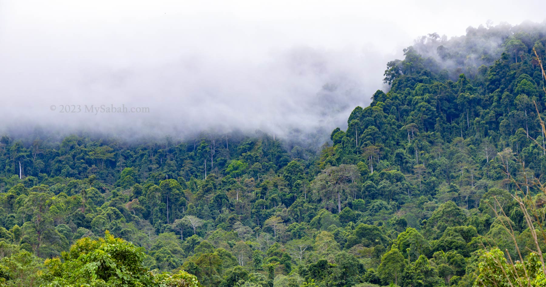
Why I have poop on my bed if I’m in a dream of taking a dump, but wake up empty-handed when I dream about treasure? I’m so envy of Aki Korom, who was really getting something priceless, as promised in his dream. This is a true story happened in Sapulut, a district in the interior of Sabah.
The Discovery of Pungiton Cave
More than 50 years ago, the young Aki Korom was sleeping near the river with a few friends. In his dream, a tall man approached him and said, “come, let me show you something interesting.” Aki Korom followed him and they reached a large cave. The fairy said, “if you can find this cave, it’s yours to own.” He added, “however, there is a dragon guardian looks after this cave. You must not cause a ripple in the river when you go to the cave, or you will awaken the lurking dragon.” Aki Korom waked up and felt the dream was so real. His friends didn’t have the same dream though.
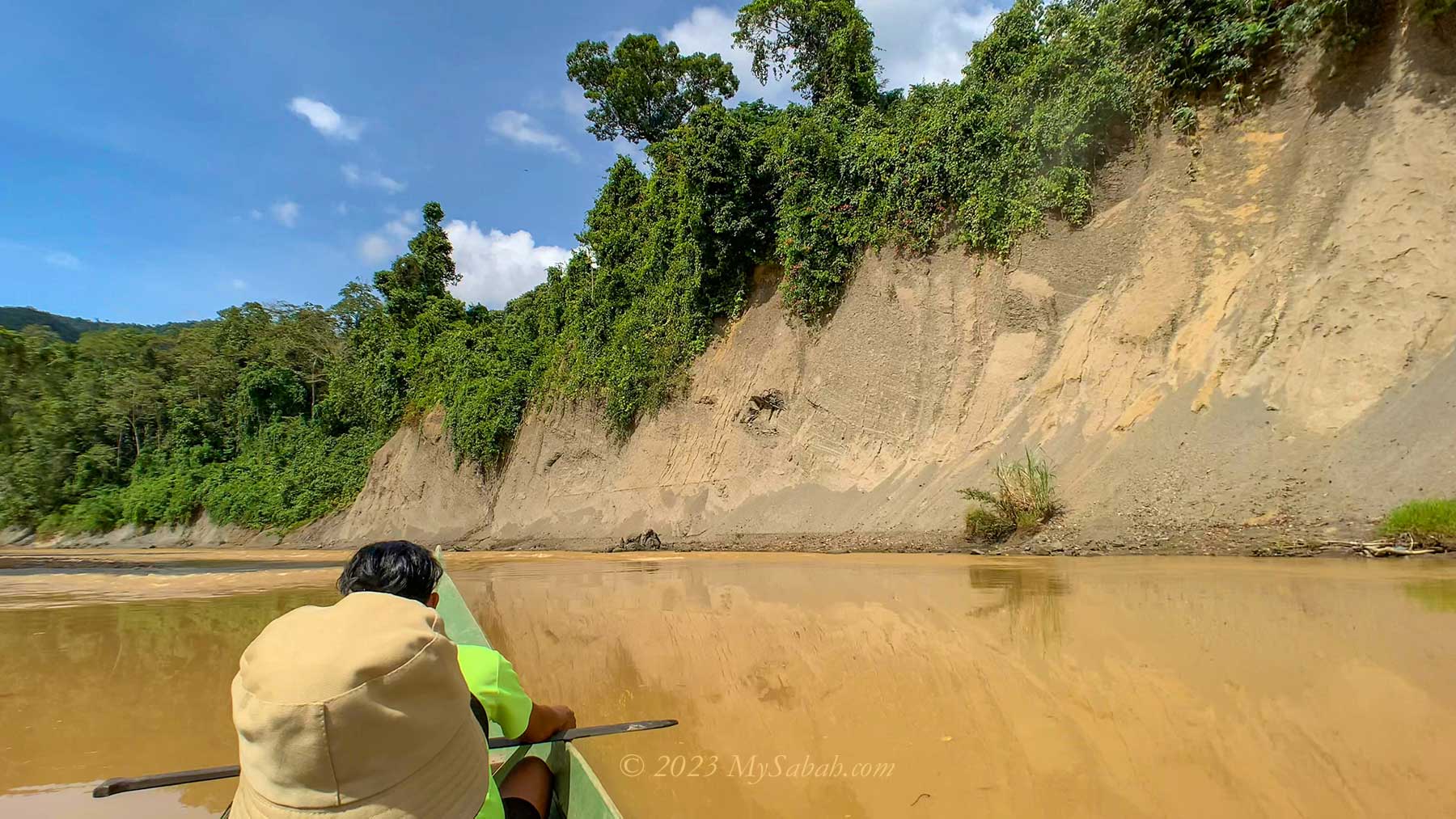
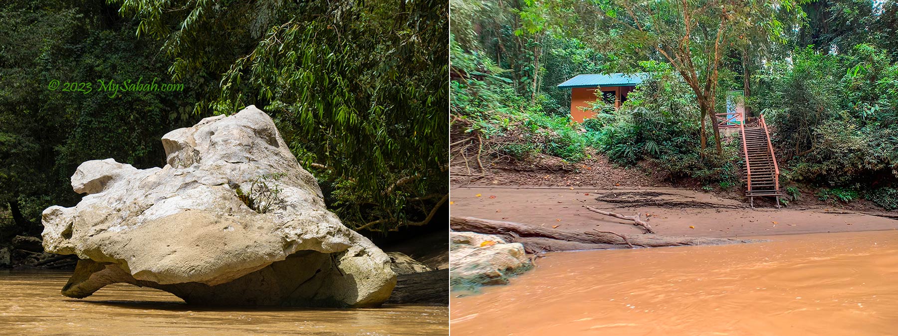
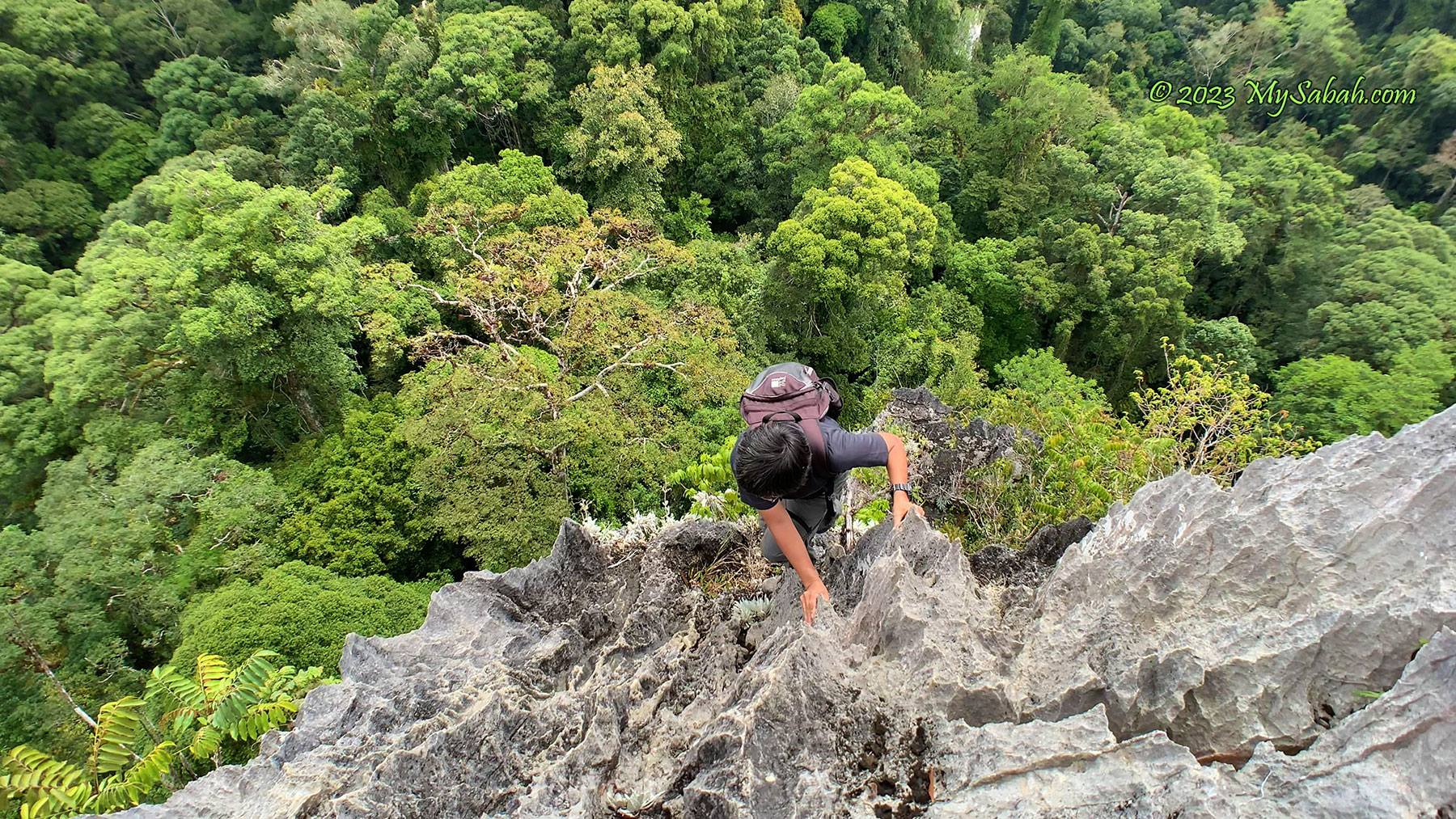
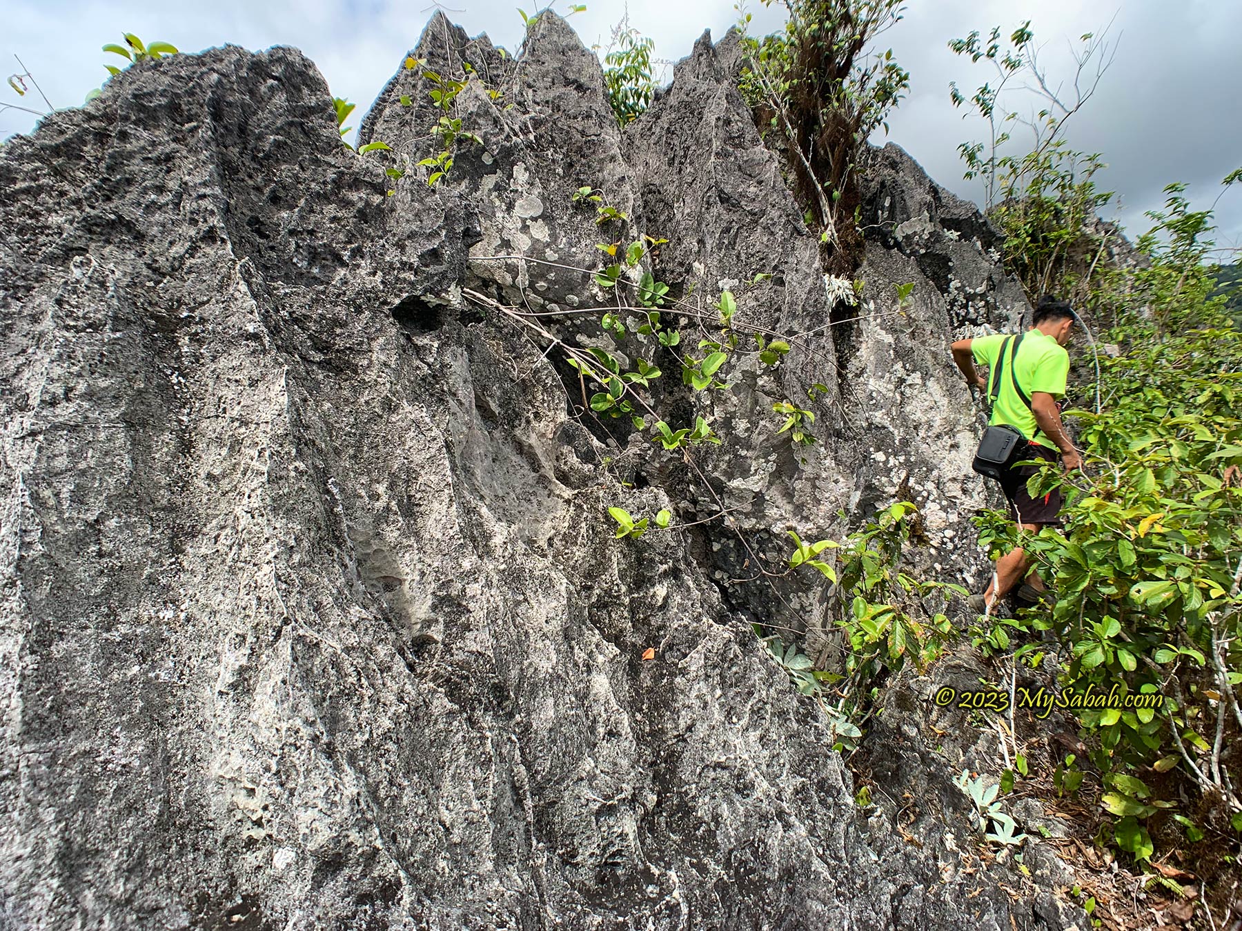
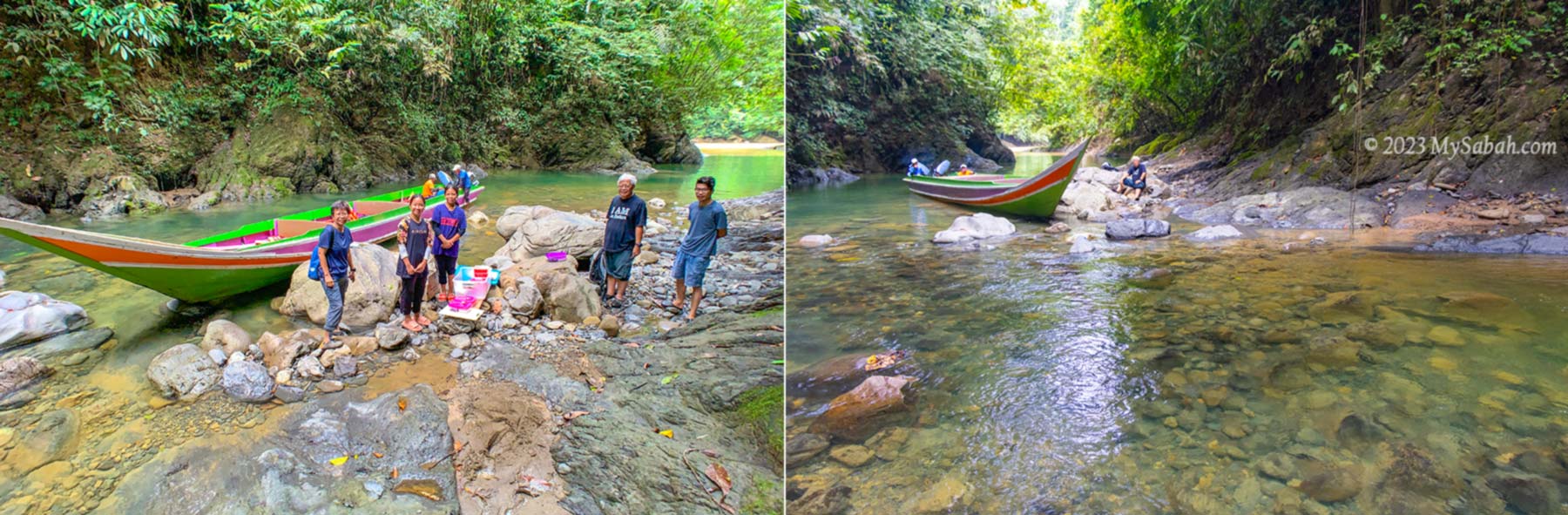
Aki Korom believed in what he dreamed and decided to locate the hidden cave. He went with a boat. A big log in the river was blocking his way. He remembered what the tall man taught, so he dragged the boat to move pass it quietly, without disturbing the dragon in the water. After some search in the forest, he found the limestone cave, which is the Pungiton Cave today. The cave was abundant with edible bird nests and big mushroom!
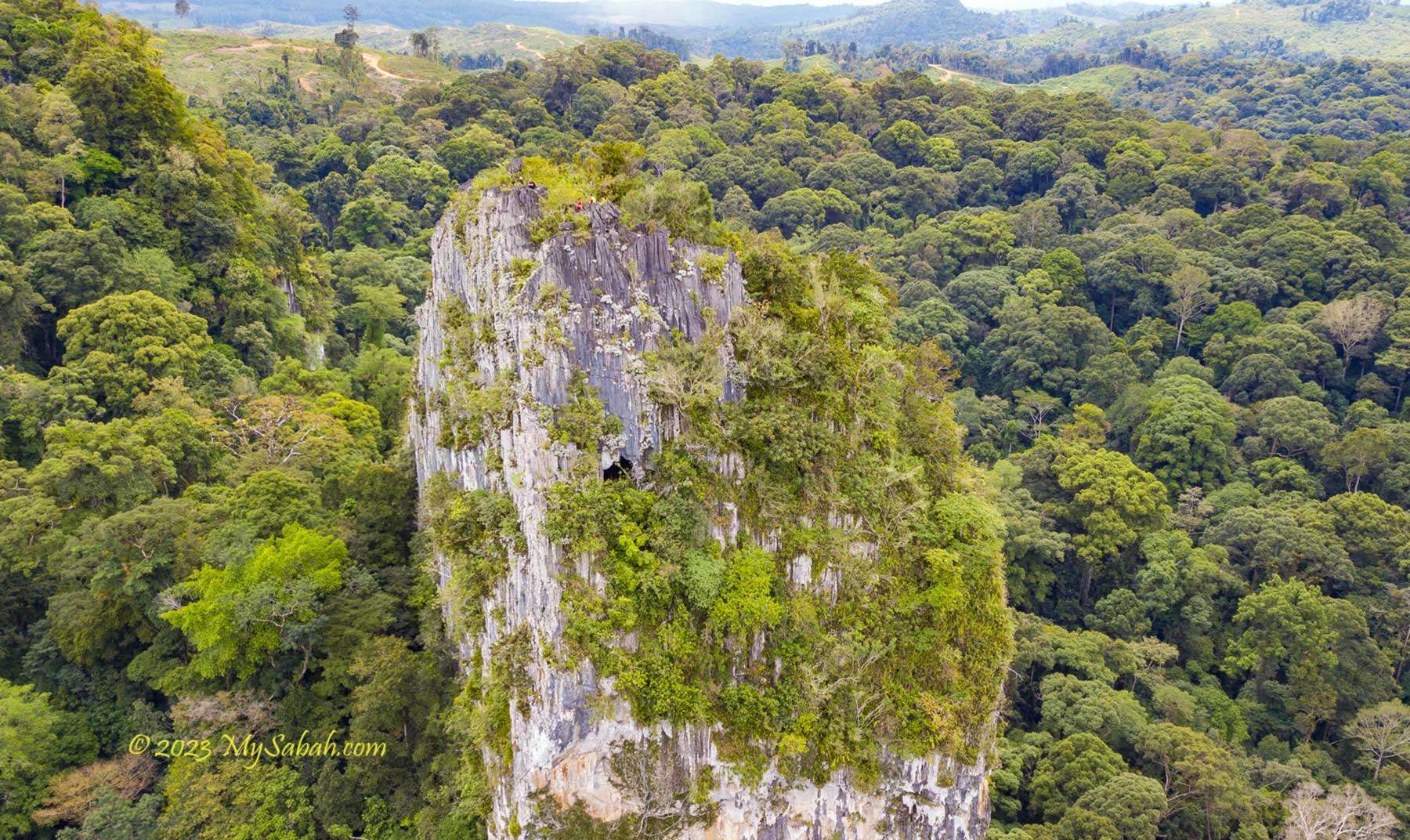
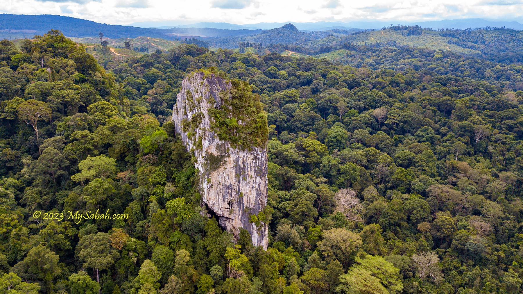
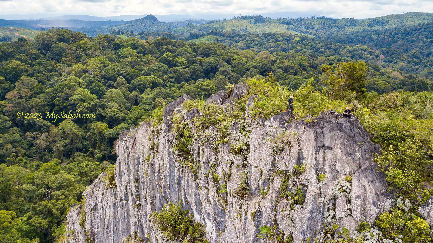
Pungiton means bat in Murut language because this cave has a lot of bats. Pungiton Cave is still a secretive cave even after half a century of its discovery. Though its location is no longer a secret, nobody is able to reach the end of this cave, according to some villagers who have spent two or three days exploring deep in the cave before. Some say Pungiton Cave may link to another cave system on the opposite side of the hill. Instead of two days, I spent only 2 hours to explore Pungiton Cave but already impressed by its rich variety of cave features.
Aki Korom had a big heart. He was willing to share the cave with other villagers. He also turned down an offer by a mining company that wanted to quarry the limestone. I guess that’s why the fairy chose him.

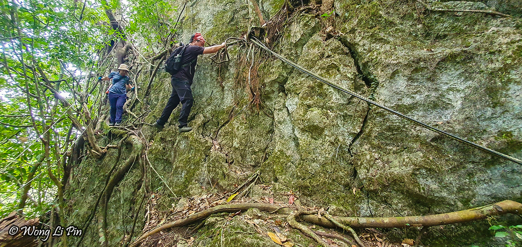
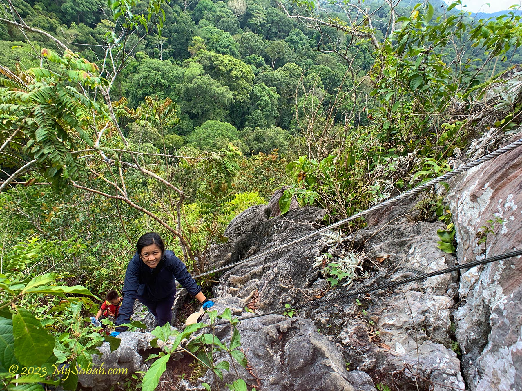
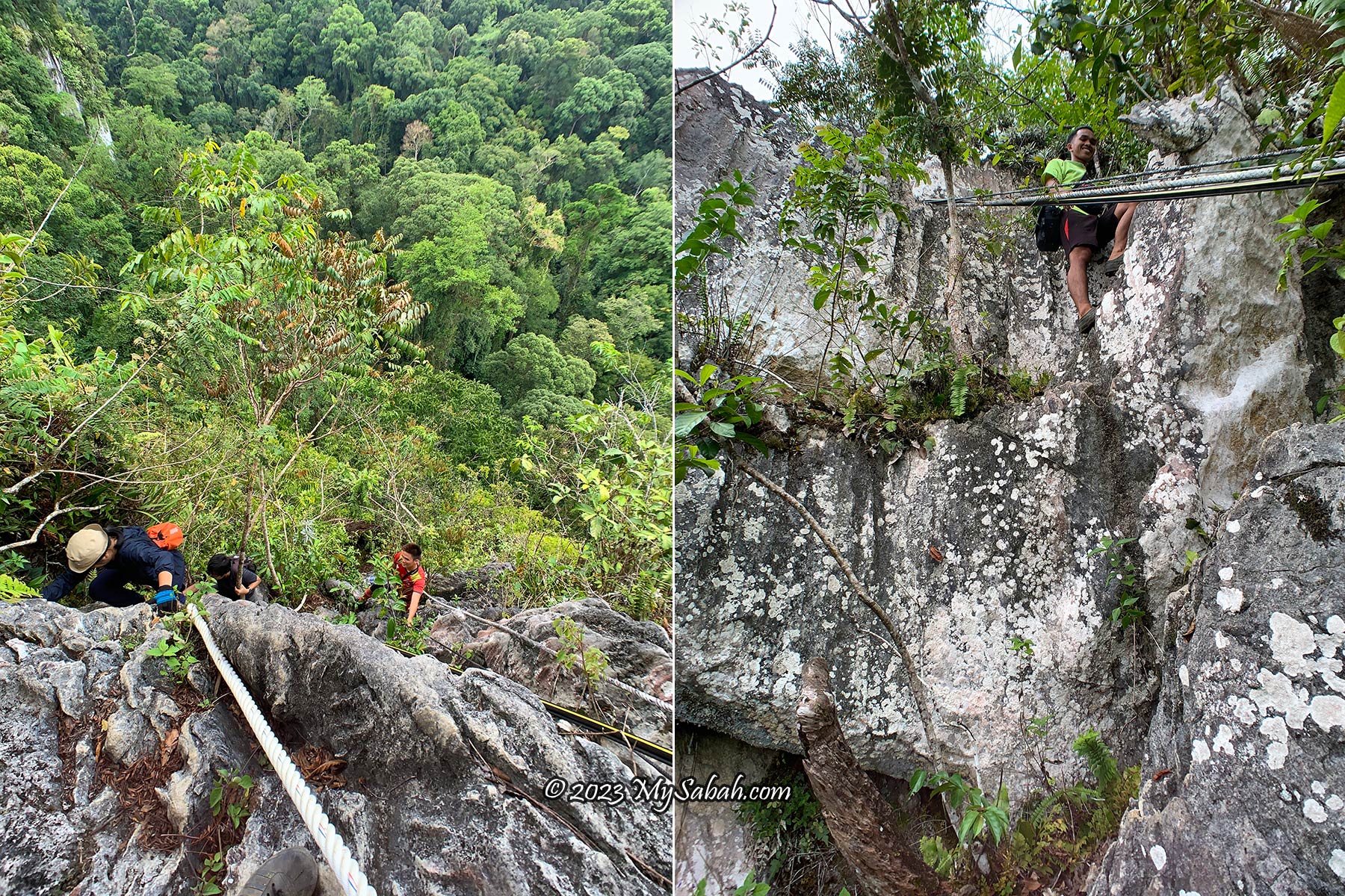
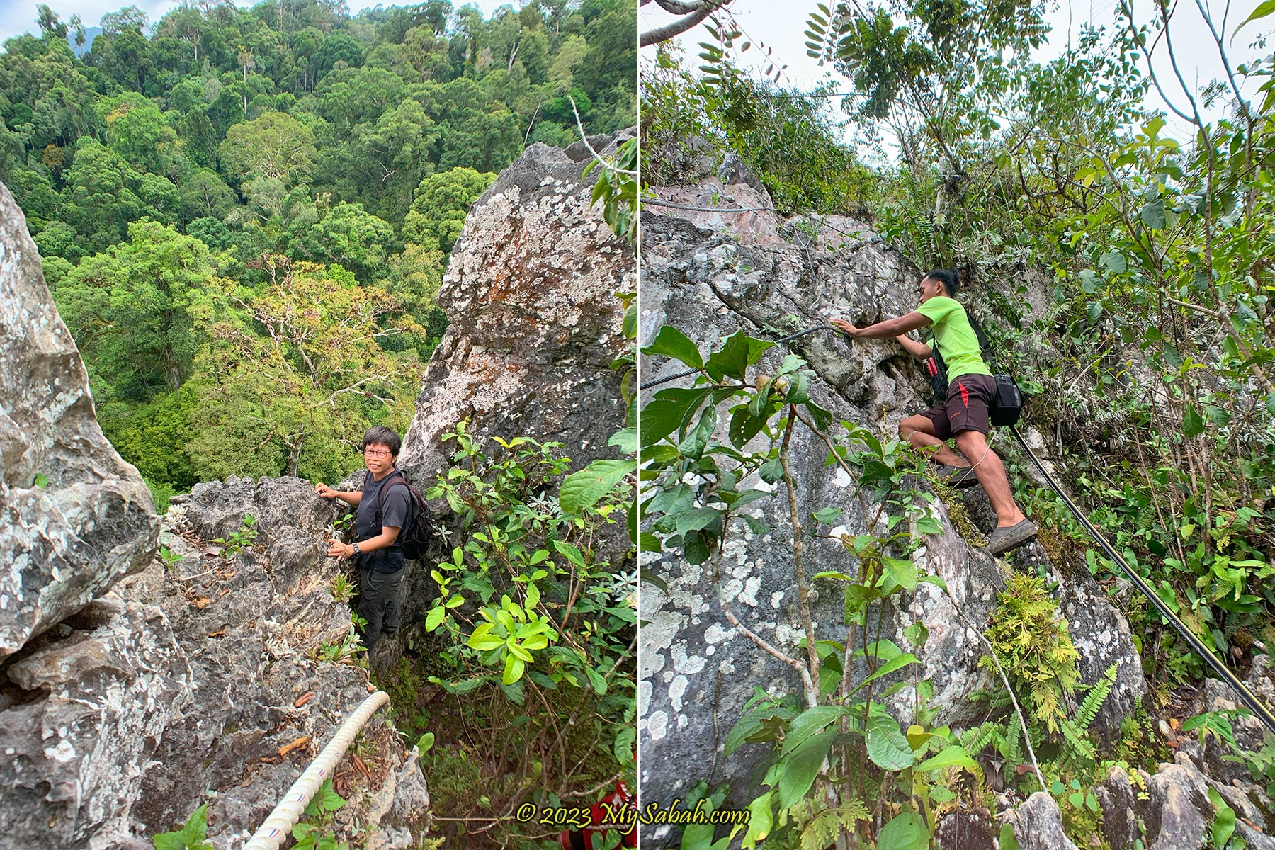
Overall, Pungiton Cave is a pristine and marvelous cave to explore. The caving experience there is 100% nature and you can check out various interesting rock formations closely. No creepy bug crawling all over the cave and no foul smell. Majority of the trail is soil ground or uneven surface scattered with debris, not difficult for beginners to walk on. The only so-called challenging part is climbing up a 20-feet slope with a rope.
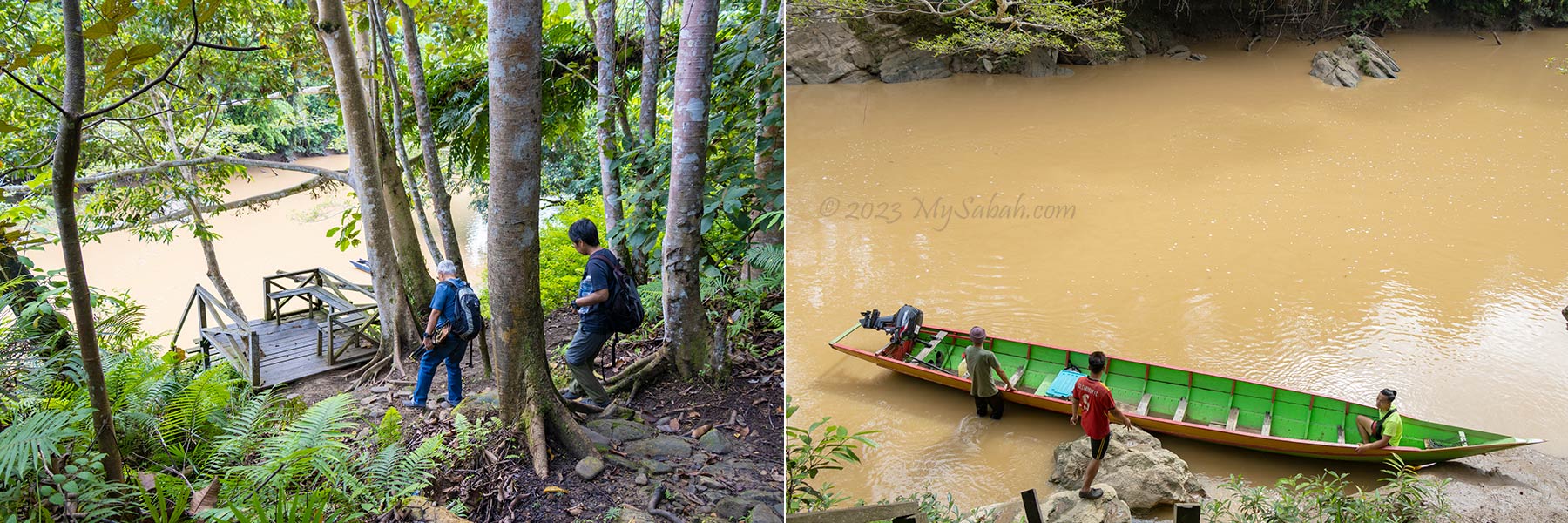
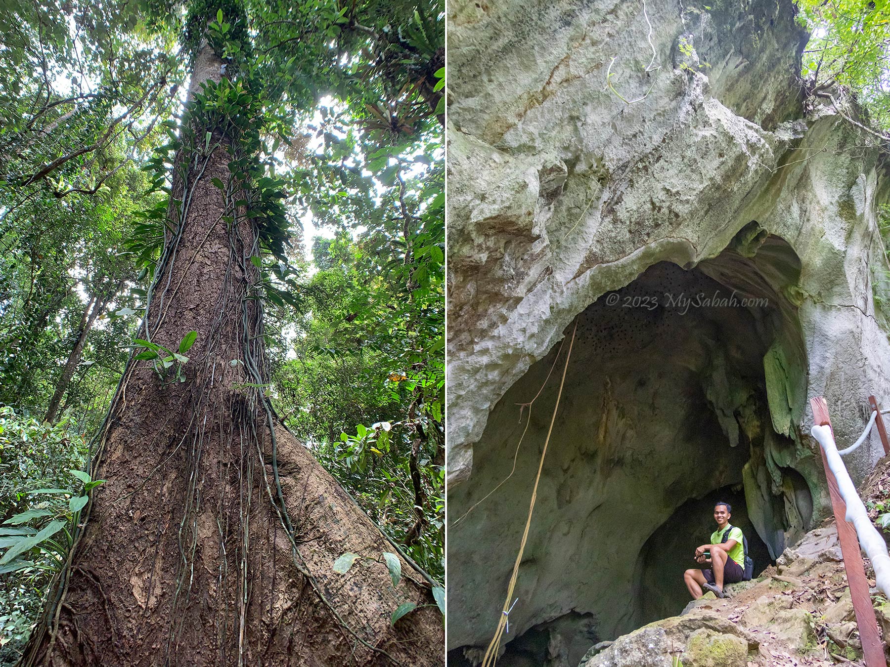
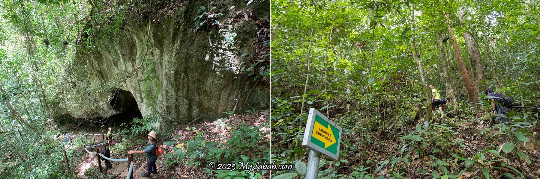
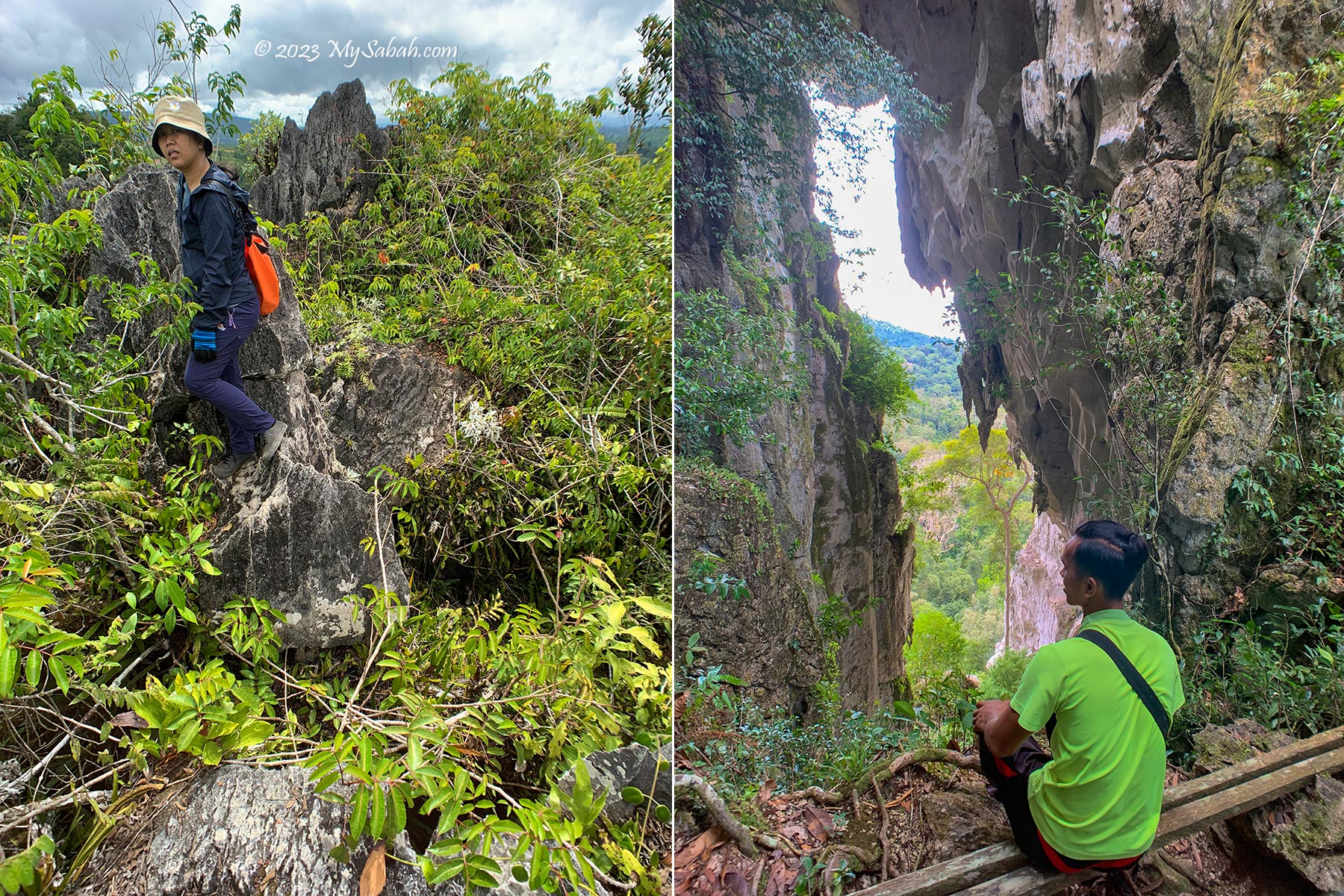
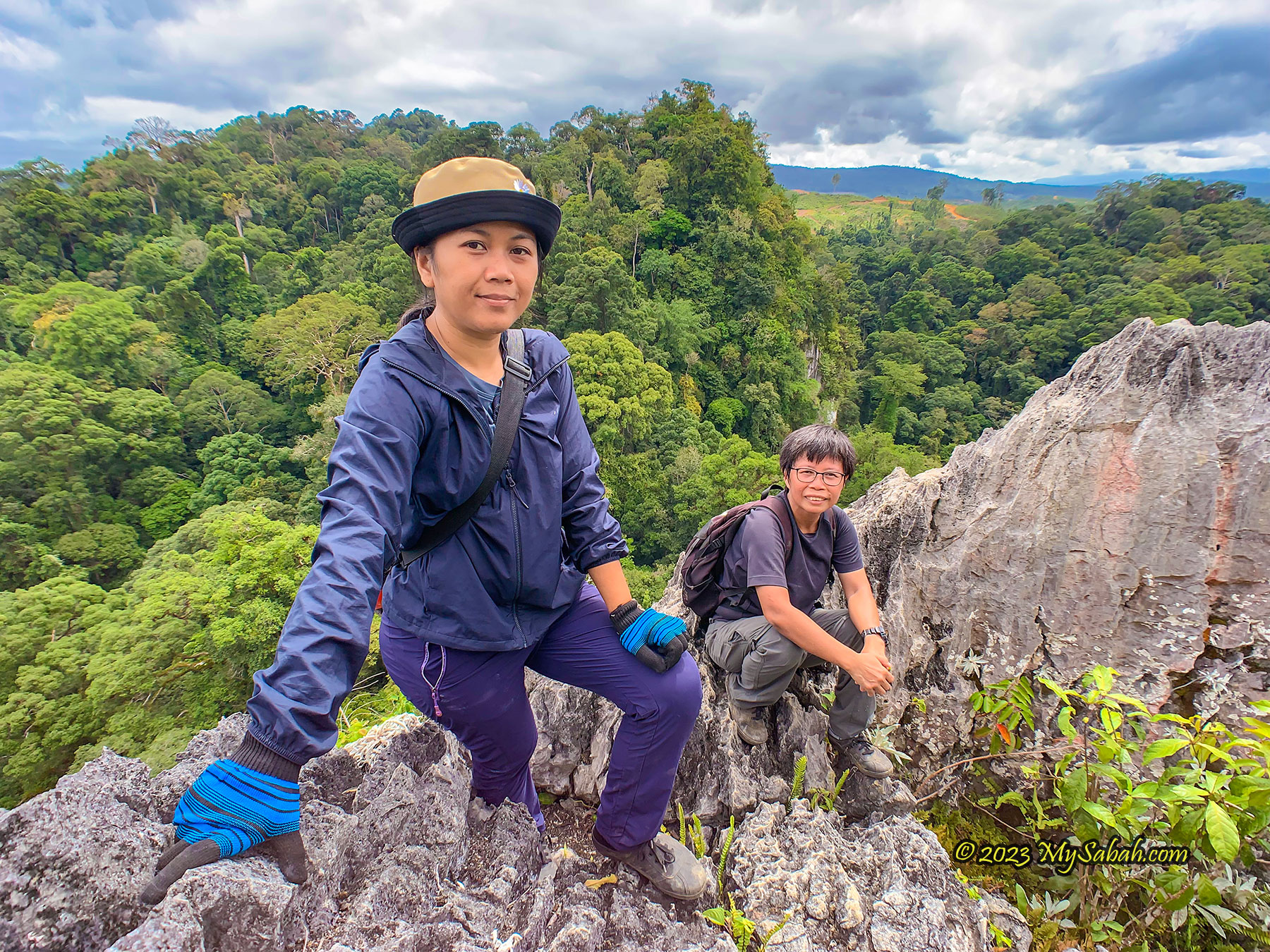
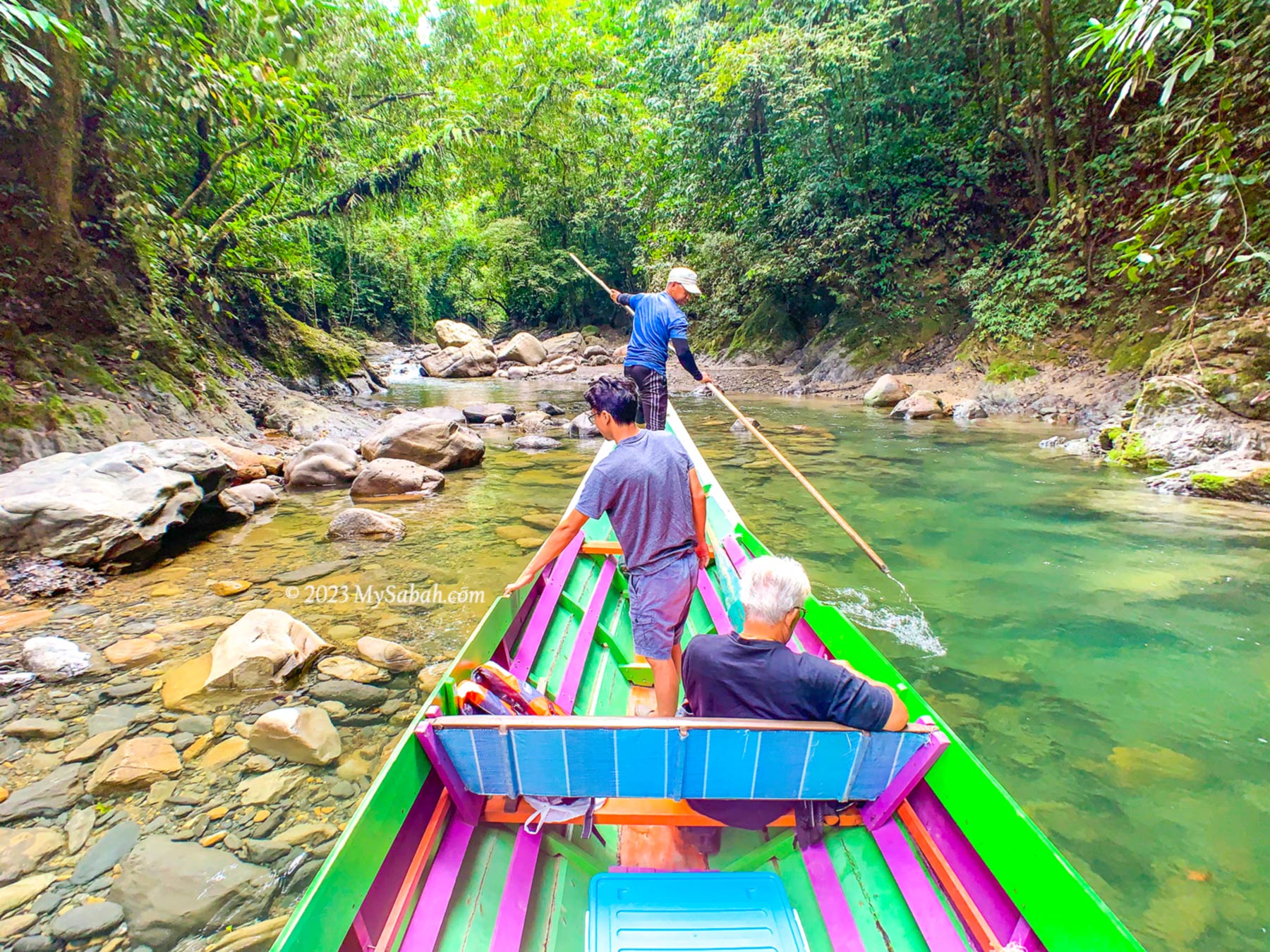
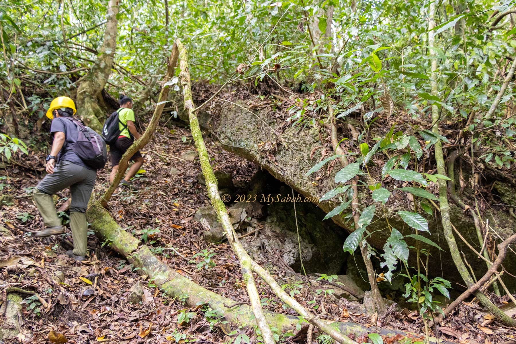
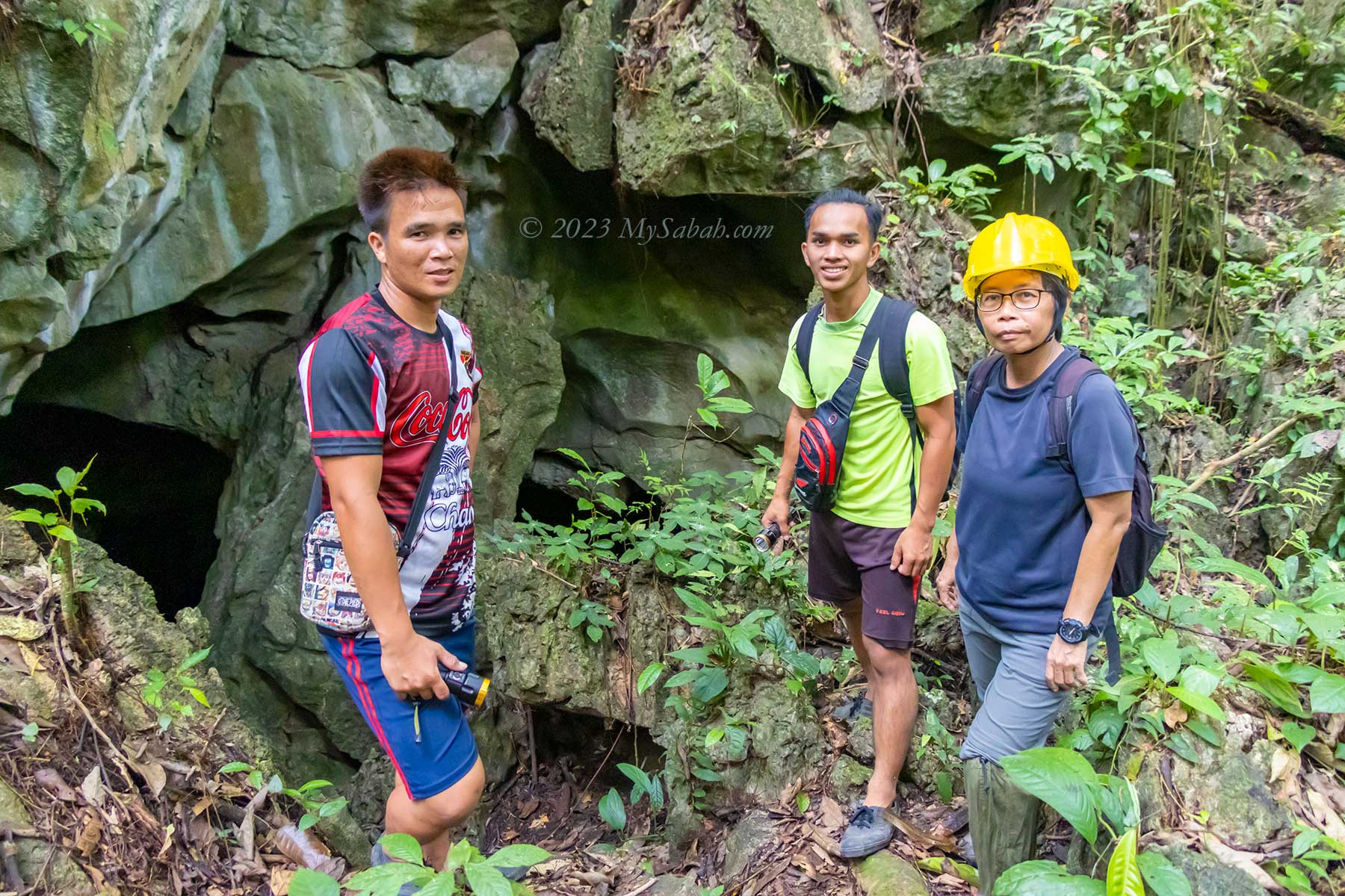
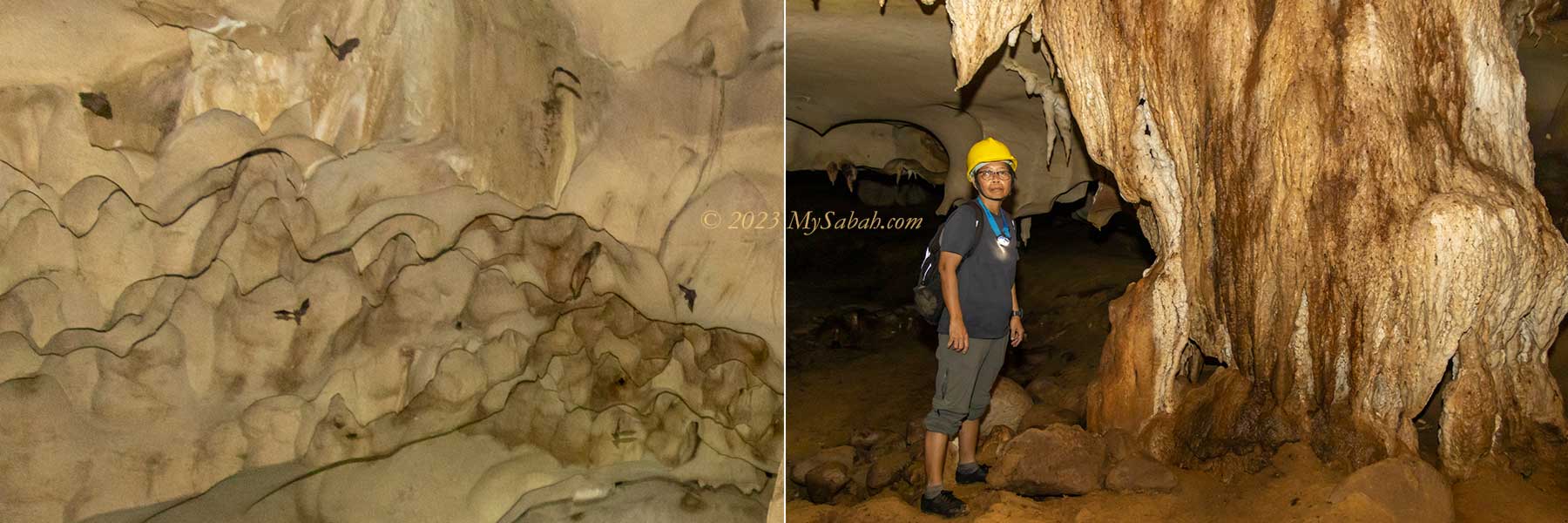
Pungiton Cave is a multi-levelled limestone cave. Hiring a guide is a must so you won’t lose your way in the cave. We start by exploring the wet cave in lower level then move up to the dry cave. It takes only 15 to 20 minutes to walk to the cave entrance from our camp (Pungiton Camp).
Underground Water Cave
At the the cave entrance, I already can hear the running water below. It’s a 20-meter descend via a narrow hole. The sound of water is getting louder, then we reach a winding cave tunnel with a running stream, a characteristics of aquatic or wet cave. Walking in the long and narrow tunnel in a wet cave is like navigating inside the body of a giant snake.
Don’t freak out with the idea of walking in a cave filled with water. In normal days, the water in Pungiton Cave only reaches my knee at most. The deepest it can go is up to waist level during rainy season. The guides would skip the wet cave if the cave is too flooded. We wear a helmet to protect our heads, in case we fall on a rock or bump into rock ceiling.
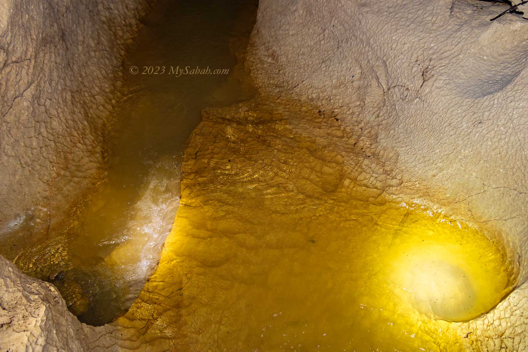
Slowly my eyes adjust to the darkness. We walk along the stream between the whitish walls of limestone. The water is quite clear and shallow. We avoid stepping into the murky water that may have a hole underneath. To keep dry, we try to walk along the edge of the stream, but I would occasionally soak my feet to enjoy the cooling water. The running water creates a noticeable cool air flow as if the cave is breathing.
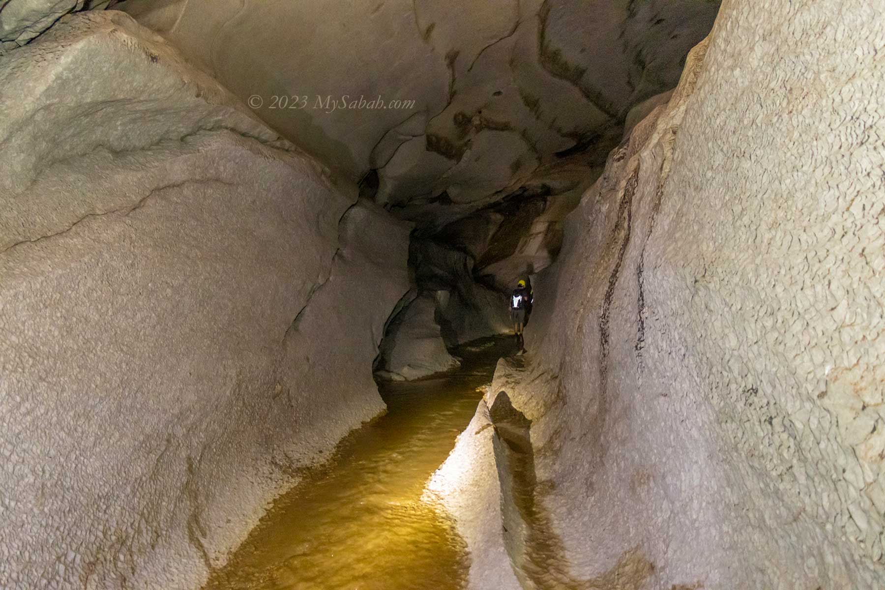
The stream is weak and small, but if you did pay attention in your geography class during high school, you would know that the limestone cave is a work of water. The rainwater absorbs CO₂ in the atmosphere and forms a mildly acidic water. This water flows through the limestone and slowly erodes the rocks. Over million of years, continual water or seepage craves out a hole, next a cavity, and then a cave. Pungiton Cave is probably about 20 millions years ago. It’s not officially studied and mapped by any geologist yet, so this number is just a wild guess.
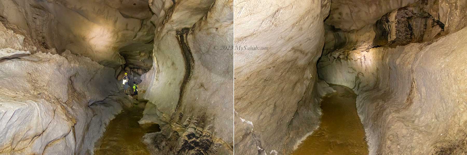
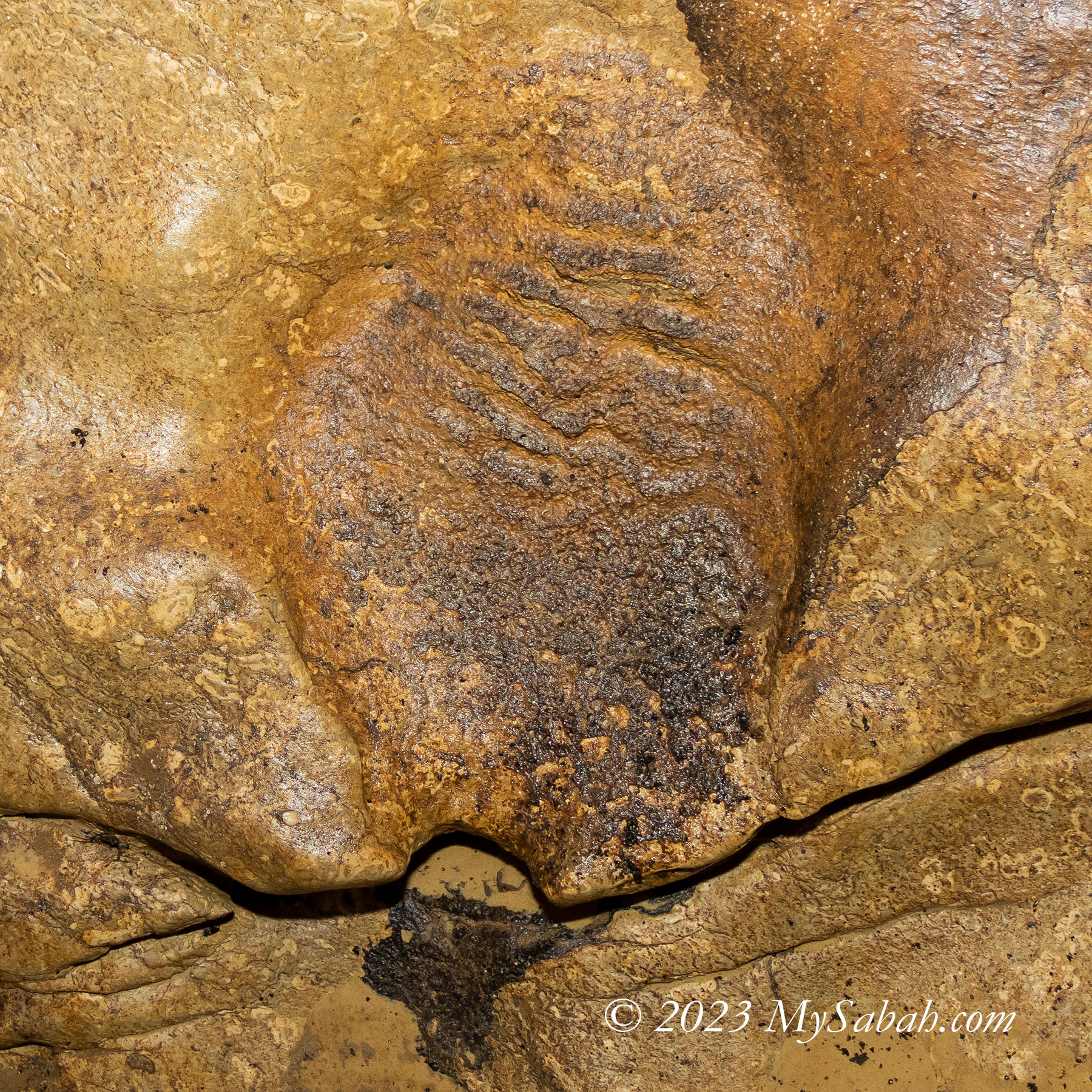
On the roof and wall of the wet cave are many round dents or depressions in rippled pattern, these ancient traces of water movement provide some hints on the direction and speed of water flow in passages in the past.
A powerful torch will improve your caving experience. Thanks to my new flashlight (Max Output: 2,100 Lumens), its light beam is so bright that it lit up the surrounding. This allows me to take better cave photos in dim environment.
Limestone Art in Pungiton Cave
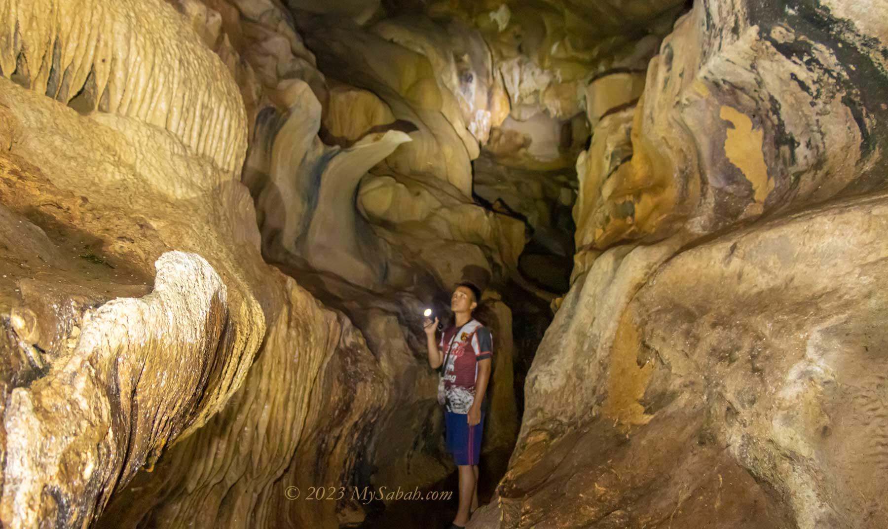
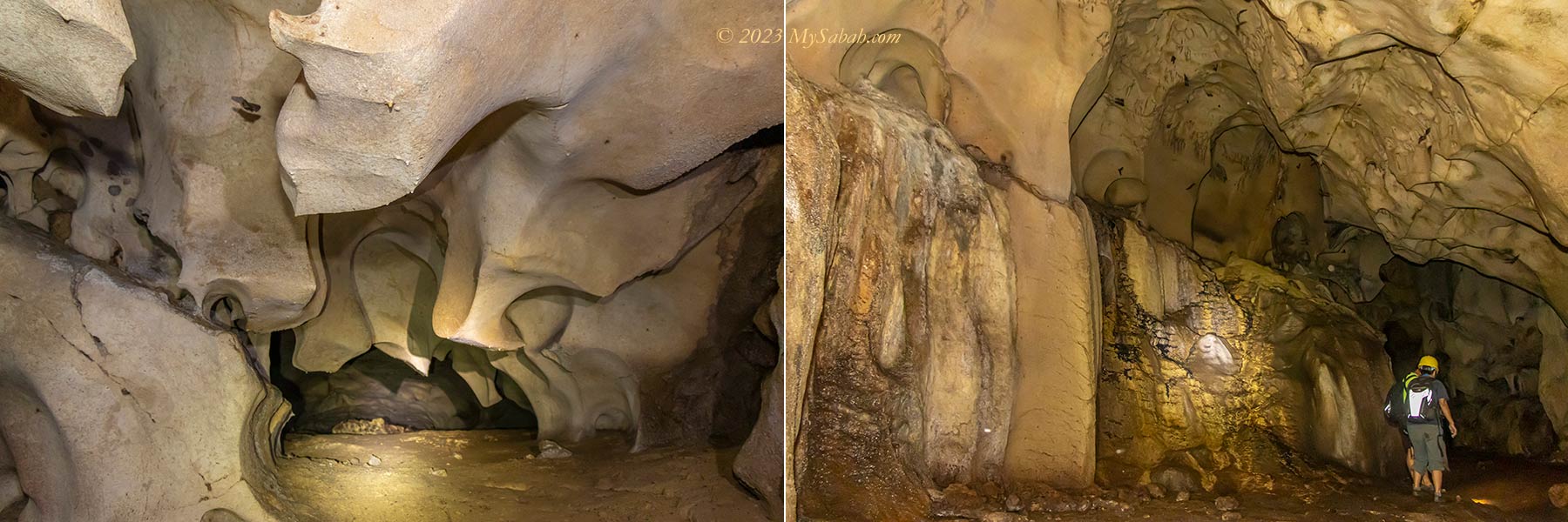
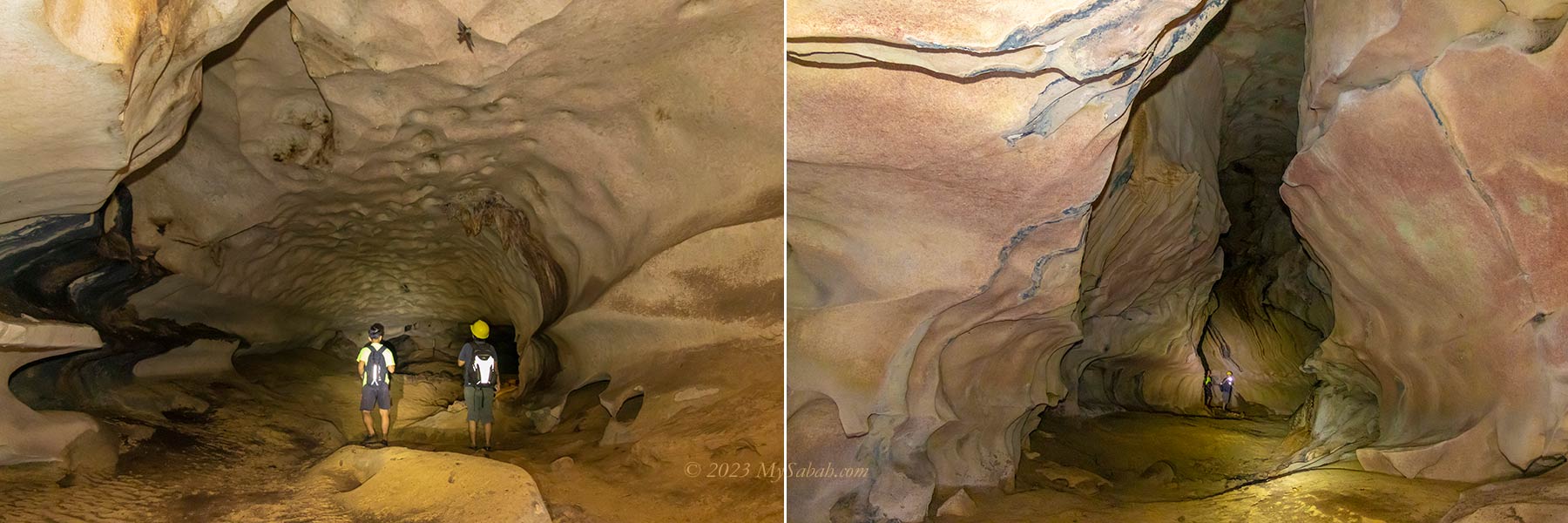
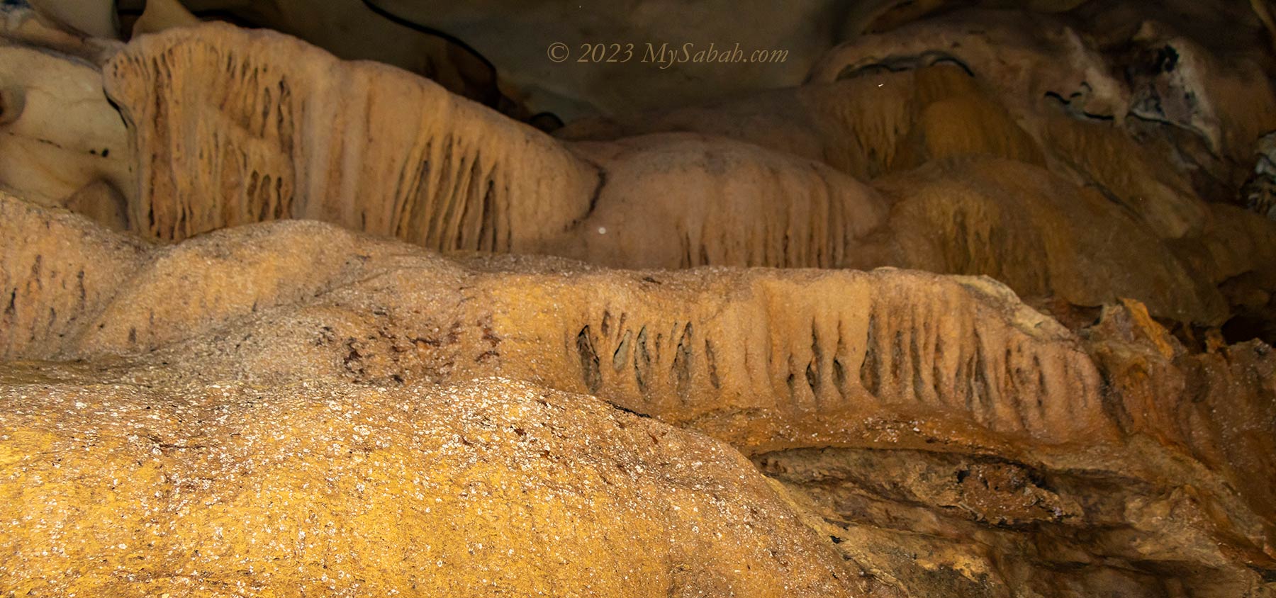
Half an hour later, we climb up to the dry surface, where the cave starts to get more interesting. I see many natural sculptures created by water, which must have taken thousand of years to form. Basically it’s a gallery of timeless water art.
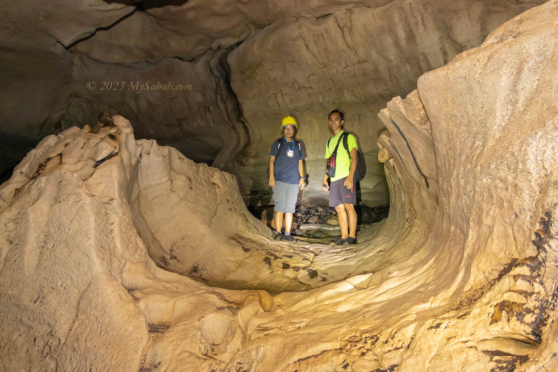
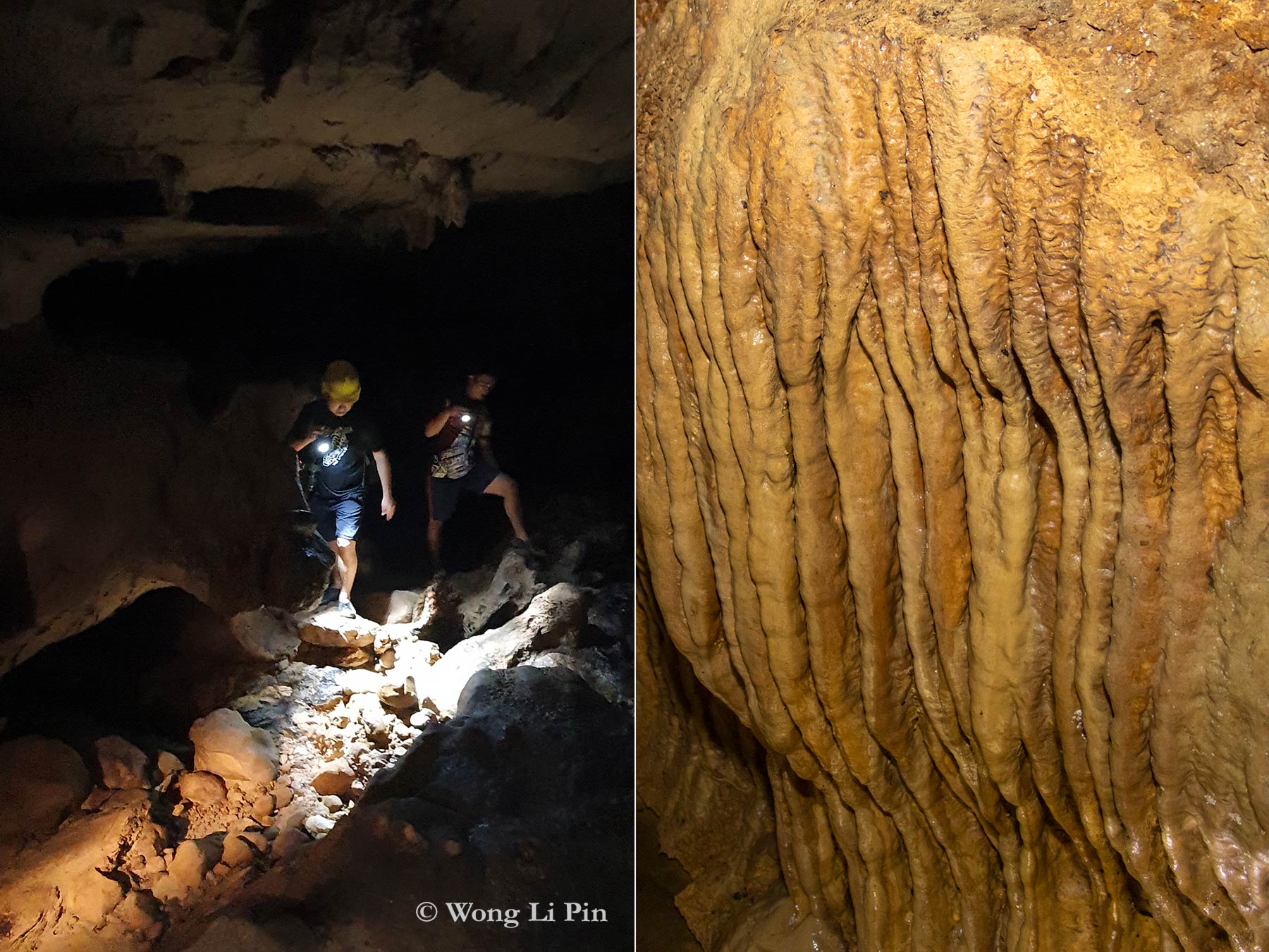
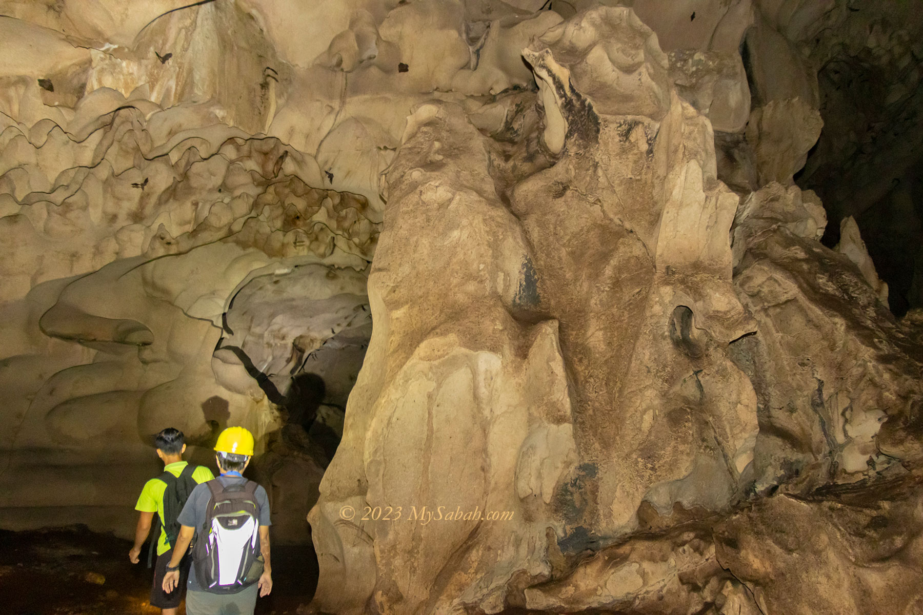
The ceiling height of Pungiton Cave is about 3 to 12 Meters most of the time. The space is wide enough not to trigger any claustrophobia. There is no boardwalk, only ropes and ladder are available for hard to climb sections. Along the way I see many holes, opening, junctions and gaps that probably connect to other chambers or network. Without a guide, I would lose my way.
In the past, there were many taboos to visit Pungiton Cave, for example, you should not wear red. Now the cave is an attraction opens to tourists, and many old rules aren’t relevant anymore. However, please be respectful and don’t do or say anything offensive in the cave. The locals believe that there are spirits lingering in the cave, and they dislike to be disturbed.
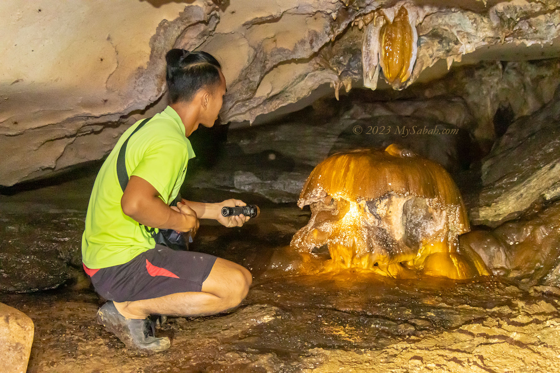
A BIG NO-NO is touching the rock formations, especially stalagmites and stalactites. Most of them are still growing at a rate of 0.13 mm (0.0051 inches) a year. They would turn dark and stop growing if contaminated by acidic oil from our fingers. Watch your steps too. One foot of stalagmite would need over 2,000 years to grow, but we can destroy it in a split second.
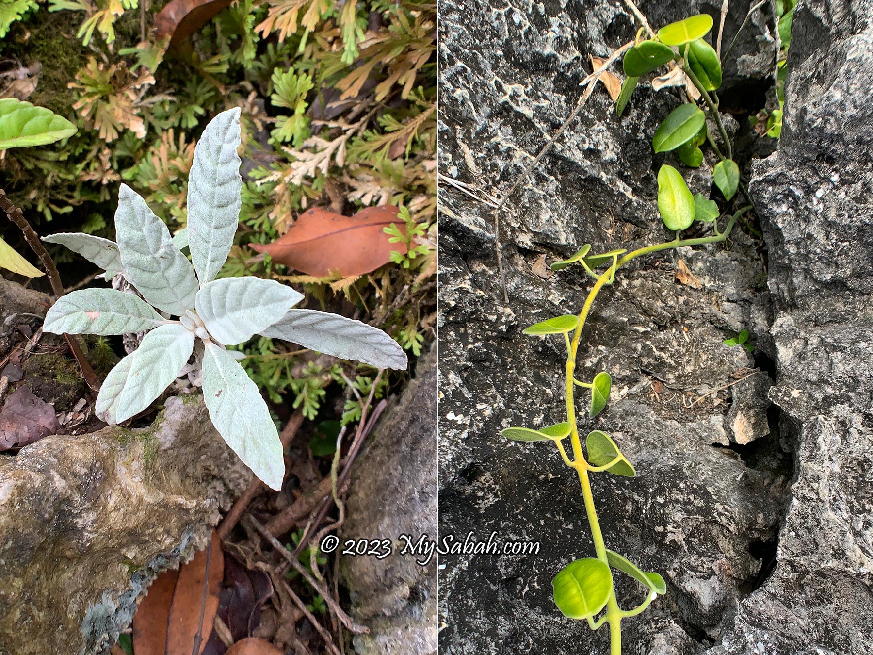
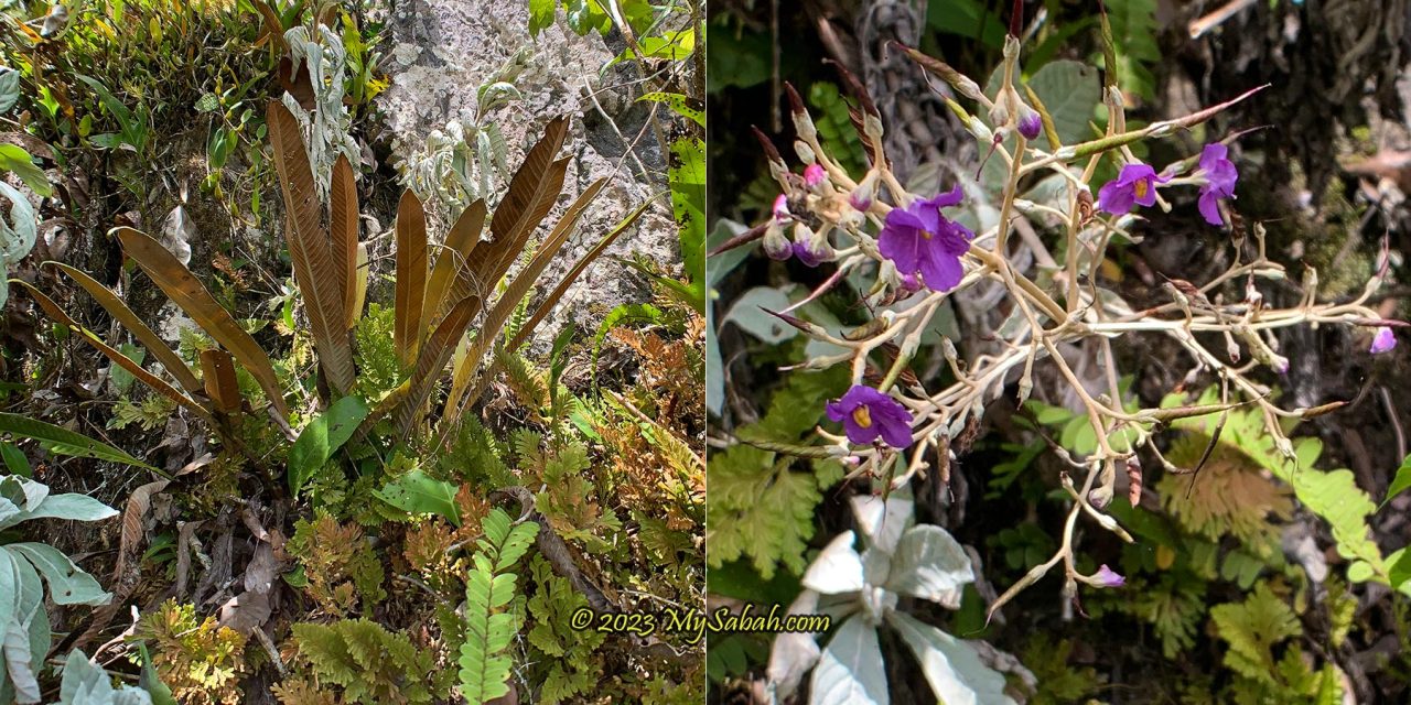
One thing I really admire Pungiton Cave is the diversity of cave features. Of course this cave is not as gigantic as those in the famous Mulu National Park. But it’s not short of wonders. The following are some interesting and peculiar cave features that I find in Pungiton Cave.
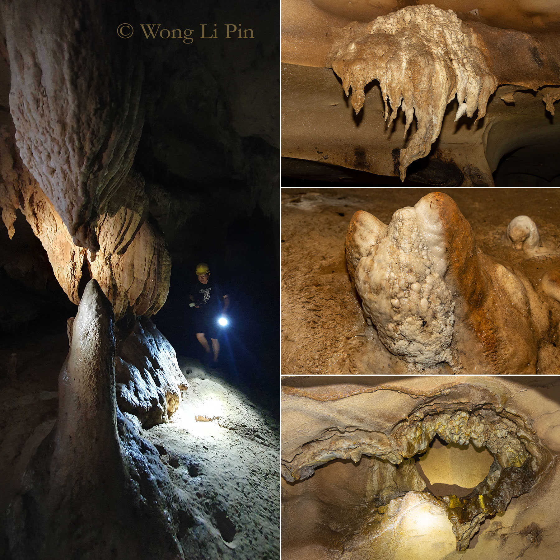
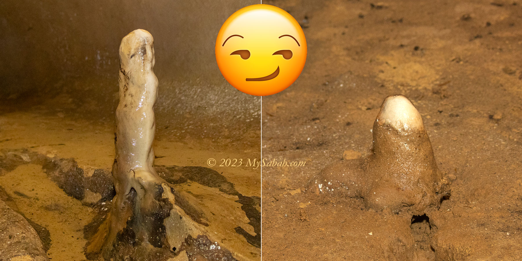
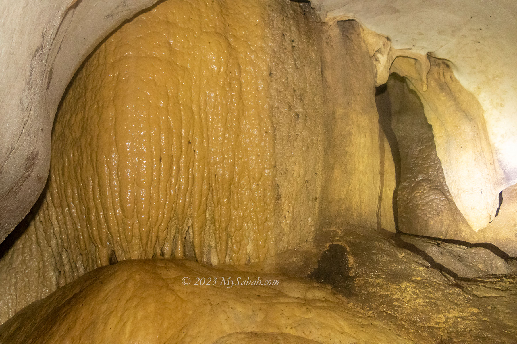
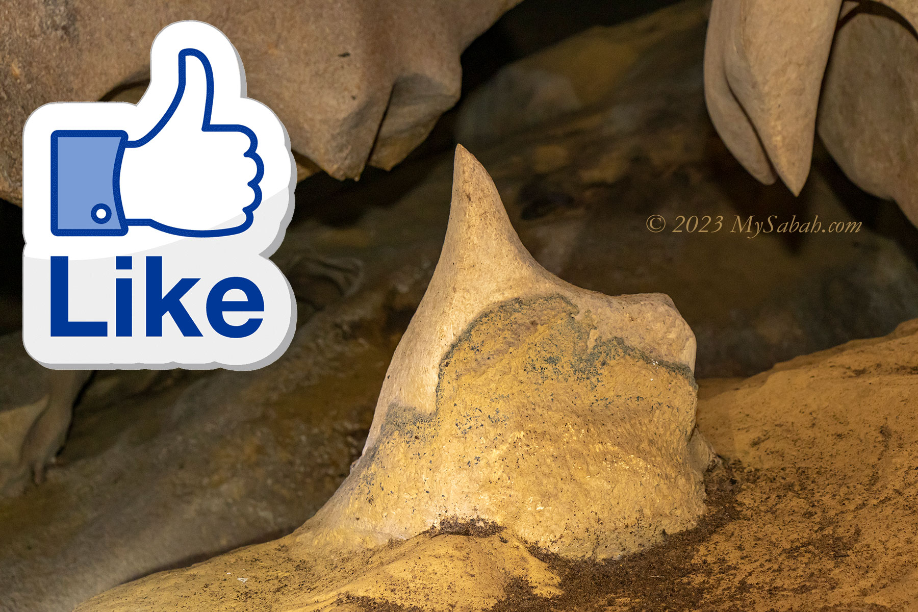
Stalagmites and stalactites are the most well-known cave features. They are icicle-shaped deposits that form when water dissolves limestone, and drips through cave roofs and onto the floors. The re-deposits calcium carbonate gradually builds up and grows on the ceilings or floors and become mound-shaped rock formation that called stalactites and stalagmites respectively.
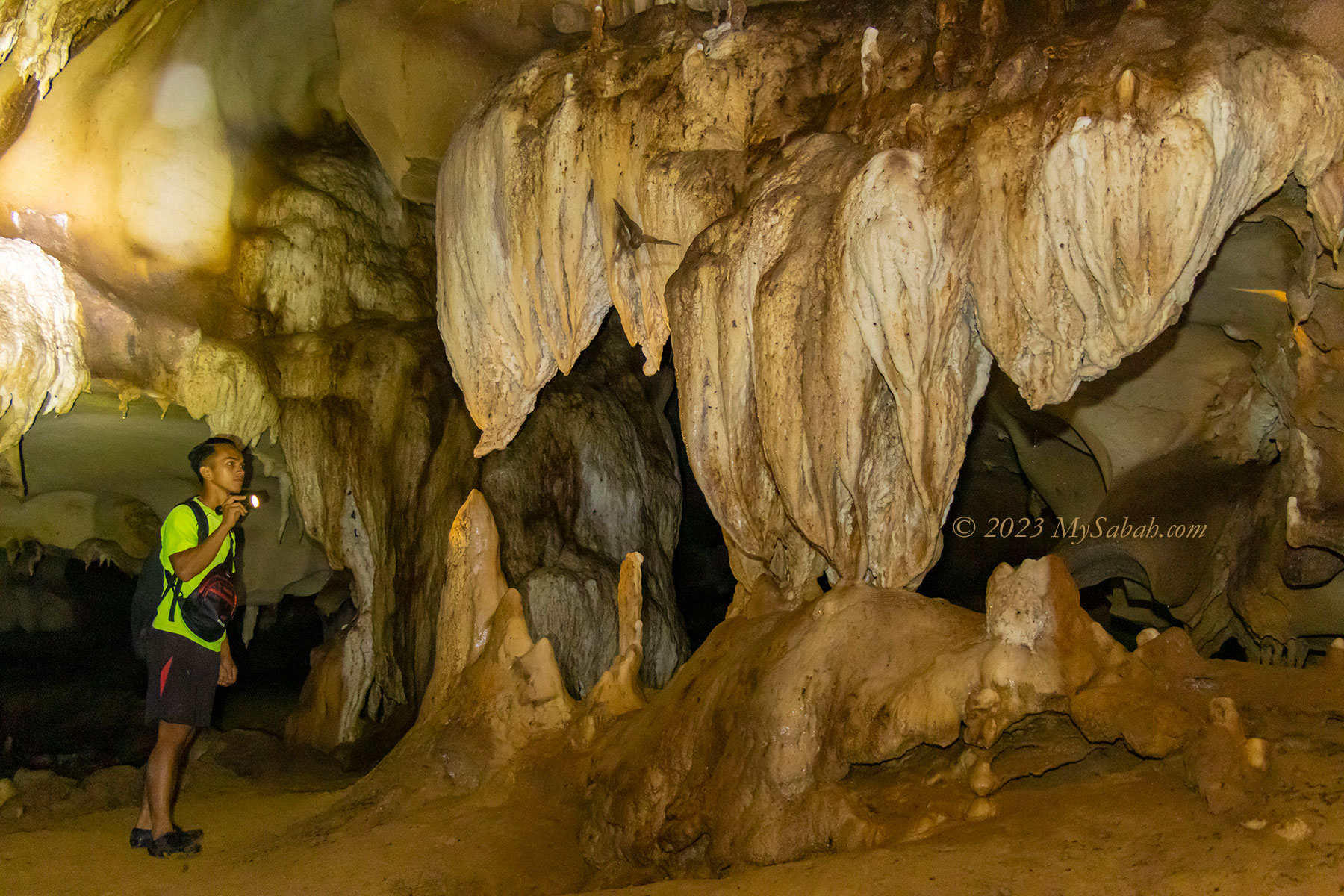
When the upward-growing stalagmites meet and connect with the downward-growing stalactites in the middle, they eventually fuse and form a column, and some columns look like carved pillars.
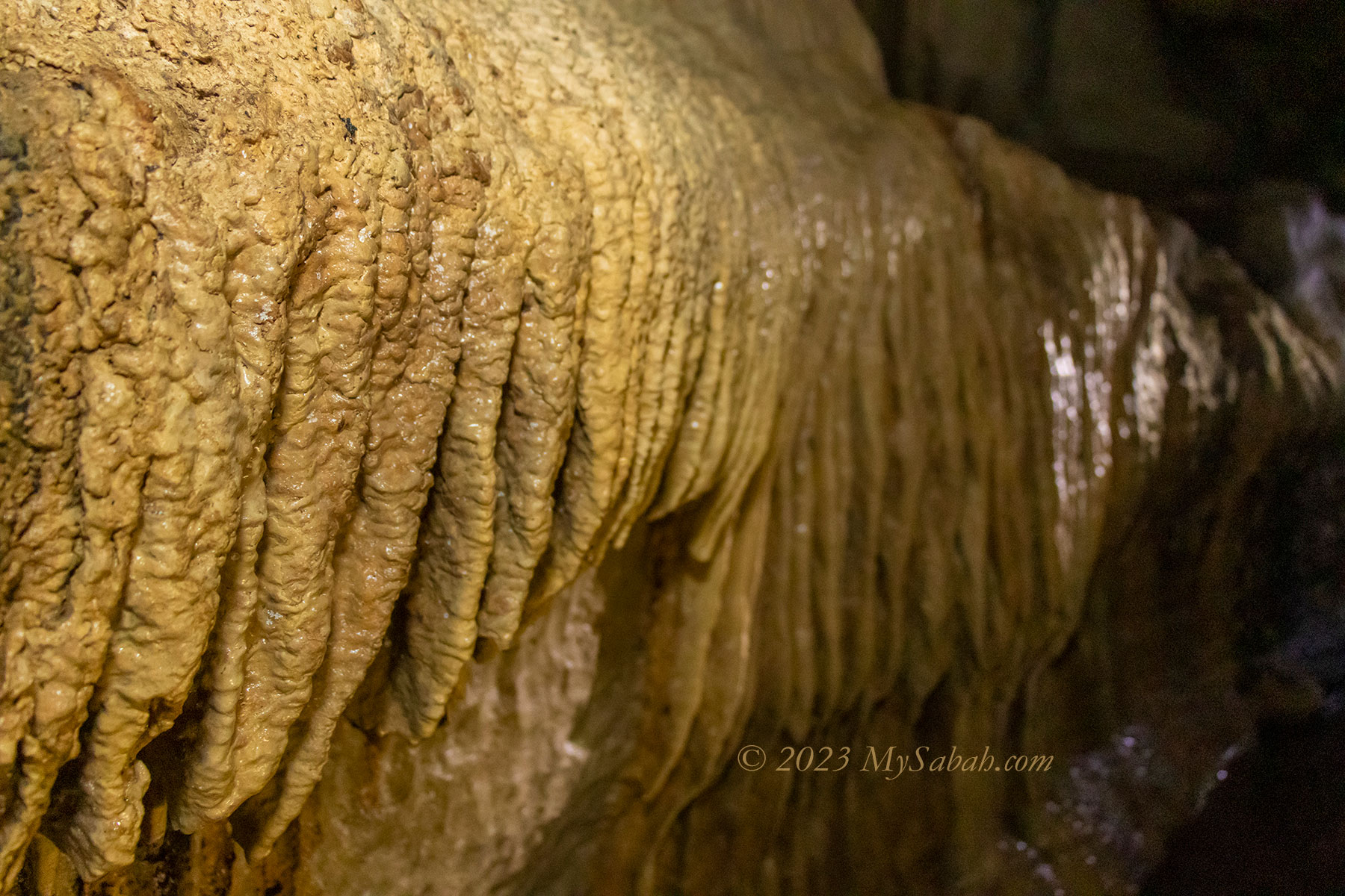
Flowstones are sheets of calcium carbonate on the walls or floor of a cave formed from a gradual flow of water over a relatively broad area along cave wall. The final form are curtain-like sheaves along ledges, better known as draperies.
There are also some strange, branch-like helictites that grows in a twisted, curled fashion, as a result of minimal water seepage.
Rimstone dams form along floors where calcite-rich water continues to flow over the edge of the pools.
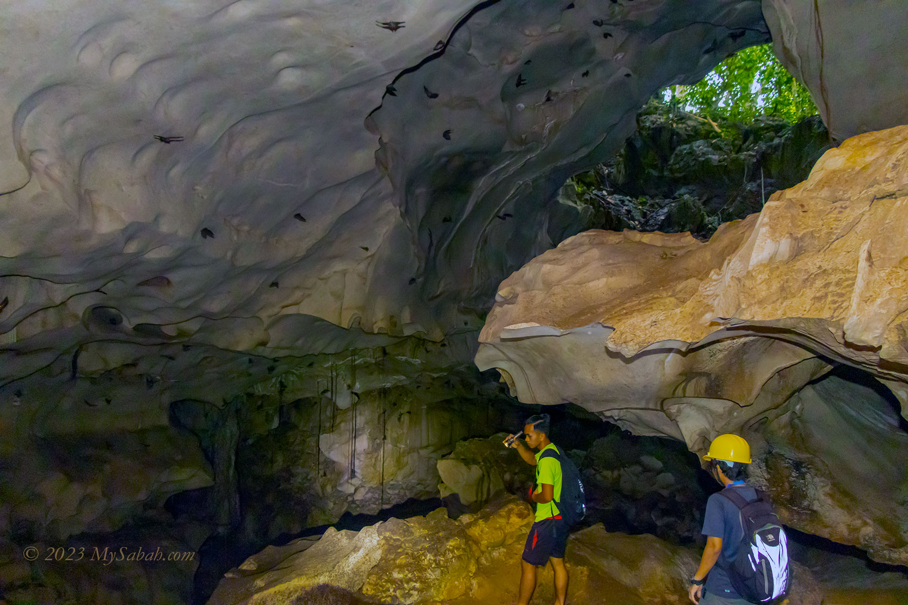
Near the exit there is a wide chamber with wind movement. I can vaguely hear something that sounds like whispering. But there are no other people around or outside. You may watch my video to hear the strange noise.
Interesting Fauna in Pungiton Cave
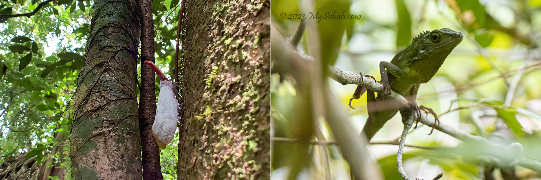
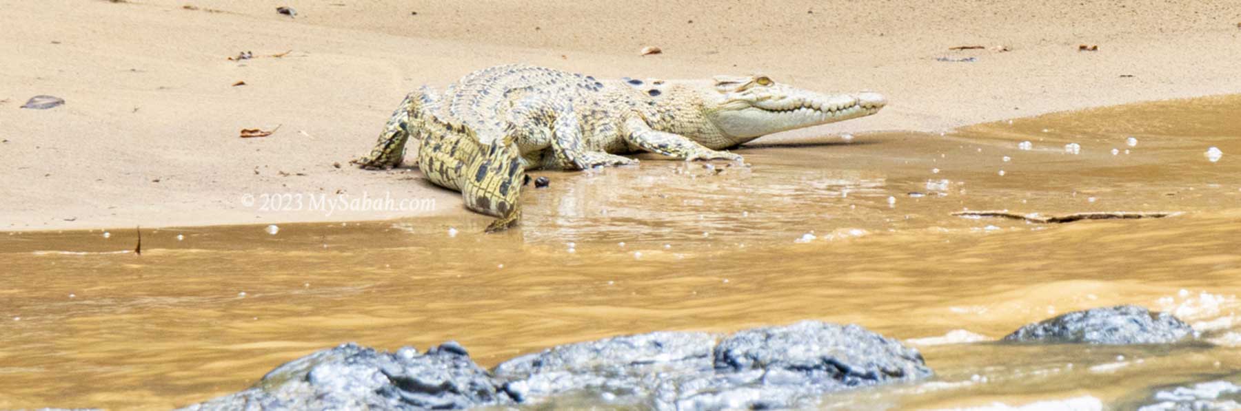
Cave is a dark world but not lifeless. Some animals use darkness as a protection and choose cave as their habitats. The most common dweller of cave is bat. They say the bats in Pungiton Cave is larger and screech like monkey, and the locals eat them.
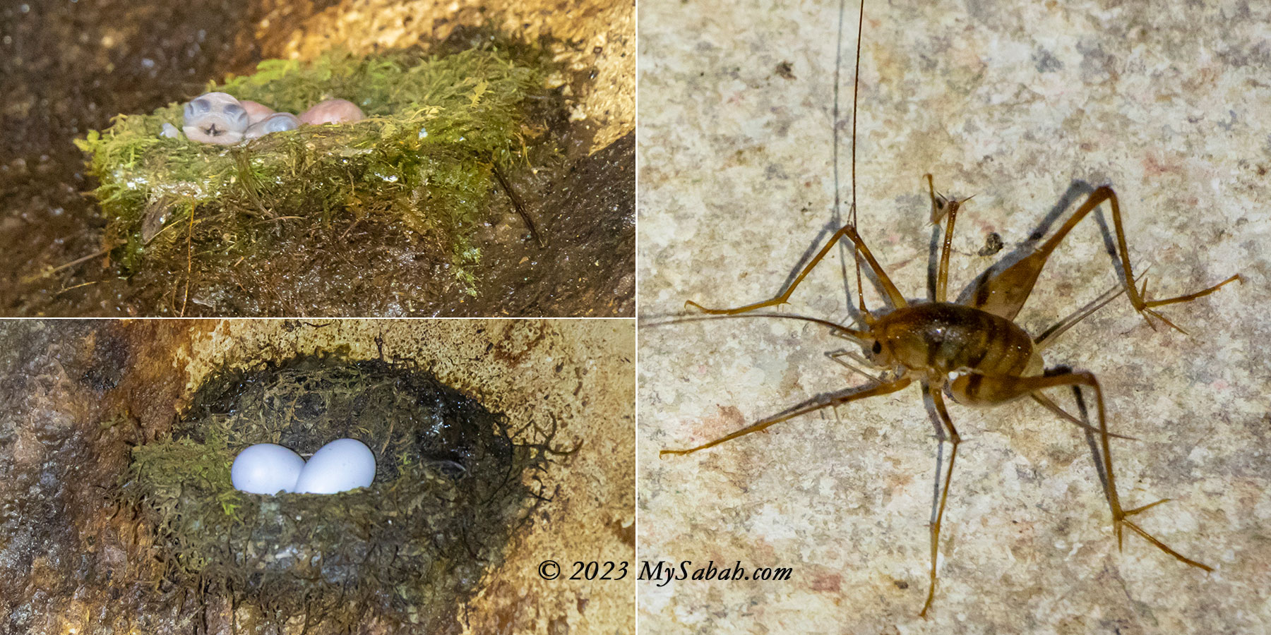
Swiftlets also live here, among them is edible-nest swiftlet, which builds nest in the cave. These swiftlets can use echo-location like bats, to help them navigate deeper into the cave. Edible bird nest is an expensive delicate, so their nests are harvested heavily and very few of them left.
We come across a few mass of guano under the congregating bats, it’s a mixture of dropping of bats and birds. Sometimes guano can accumulate to a few feet deep over a long period. I walk on them and it feels like stepping on a soft carpet. It has mild ammonia smell. Cockroaches like to feed on guano but I only see one here. Guano is an excellent fertilizer because it’s rich in nitrogen, phosphate, and potassium, and some people get rich by selling guano.
If Pungiton Cave is managed sustainably since the beginning, edible bird nests and guano would generate continuous cashflow for the villagers until today. Unfortunately, half a century ago, people didn’t realize the importance of conservation. Anyway, the cave itself is an eco-treasure and quite well-preserved.
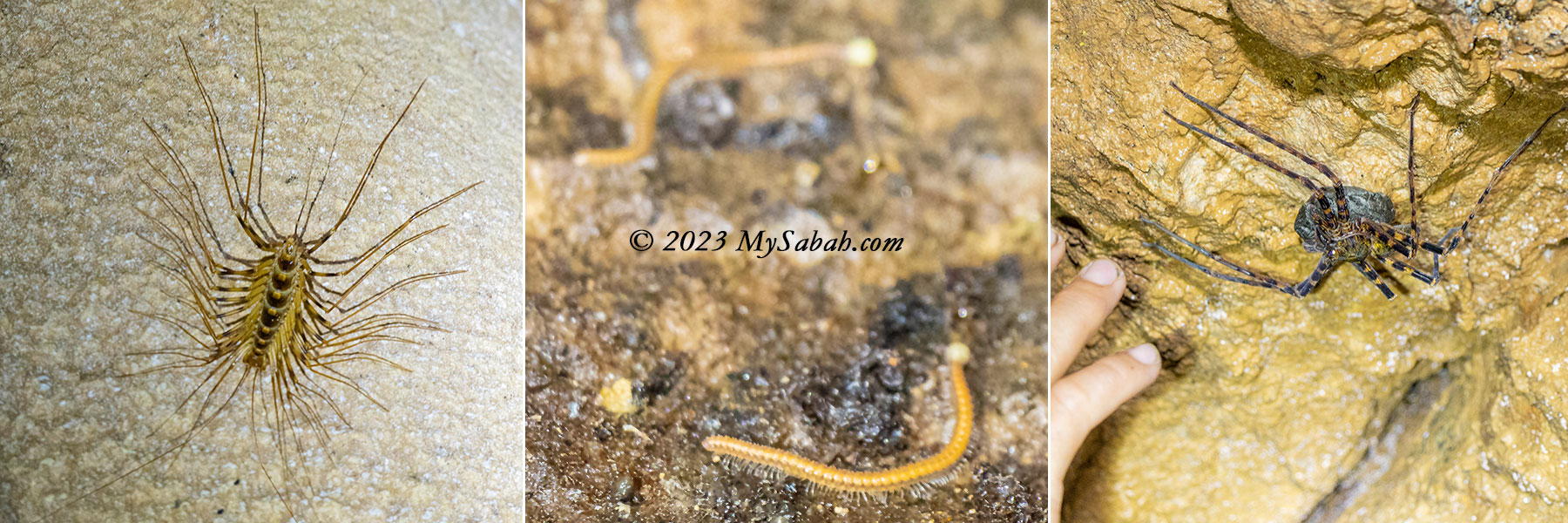
I see some leggy cave centipedes on the rock wall, they run for shelter in the dark whenever my light points at them. Other bugs I see are the silky thread traps of glow worms, egg-eating cave cricket, and a huge Huntsman spider hugging an egg sack.
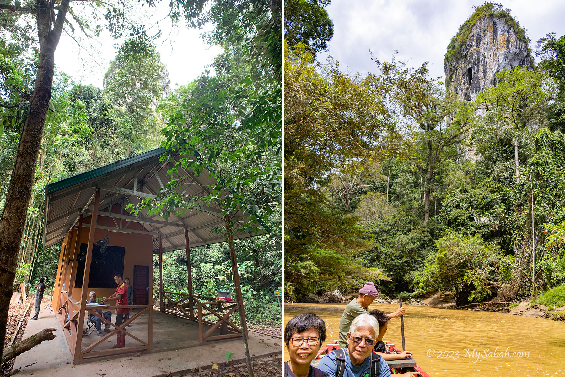
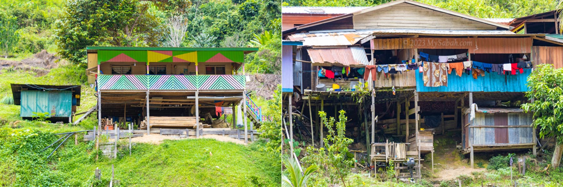
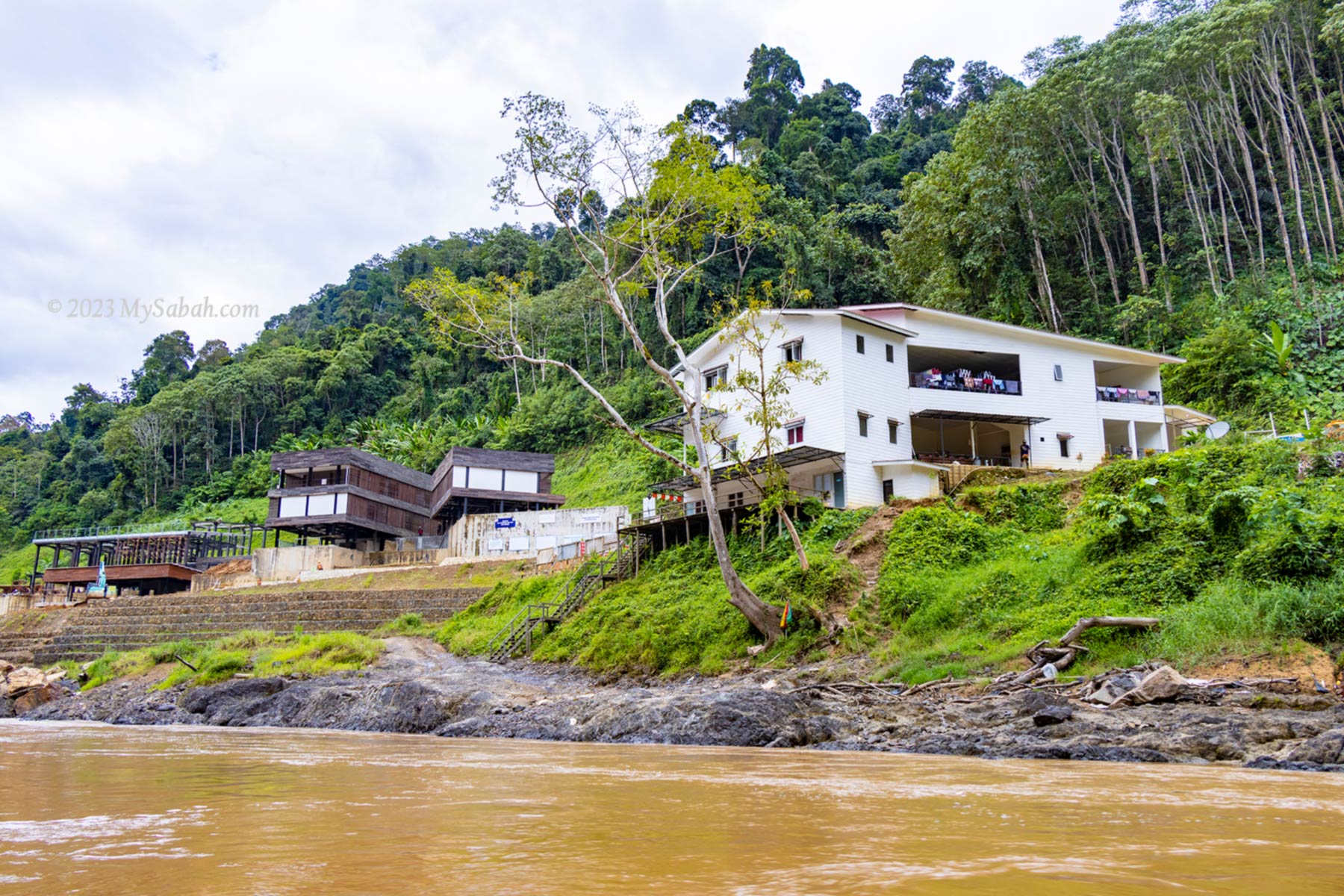
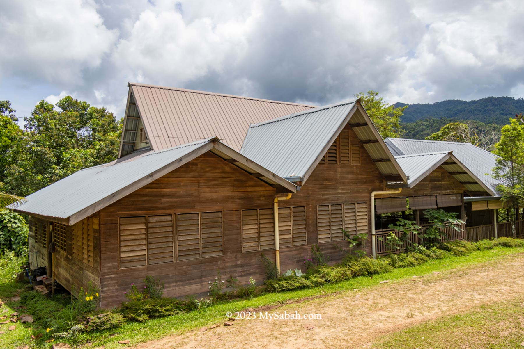
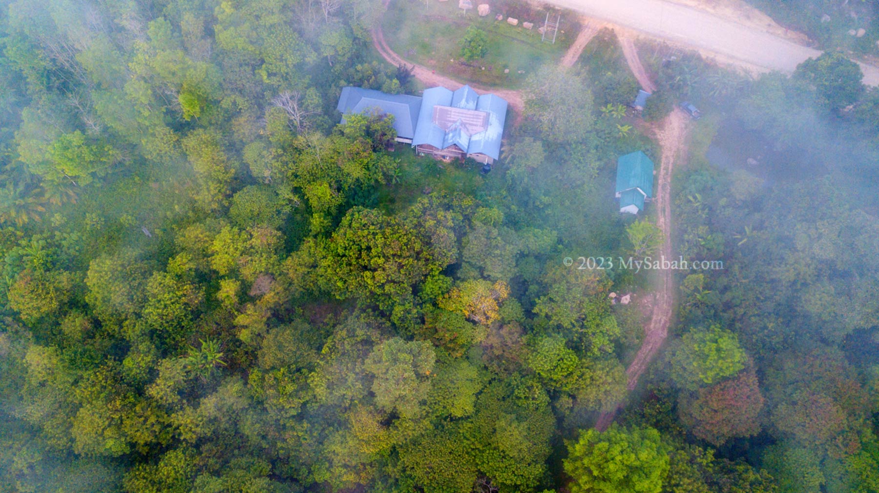
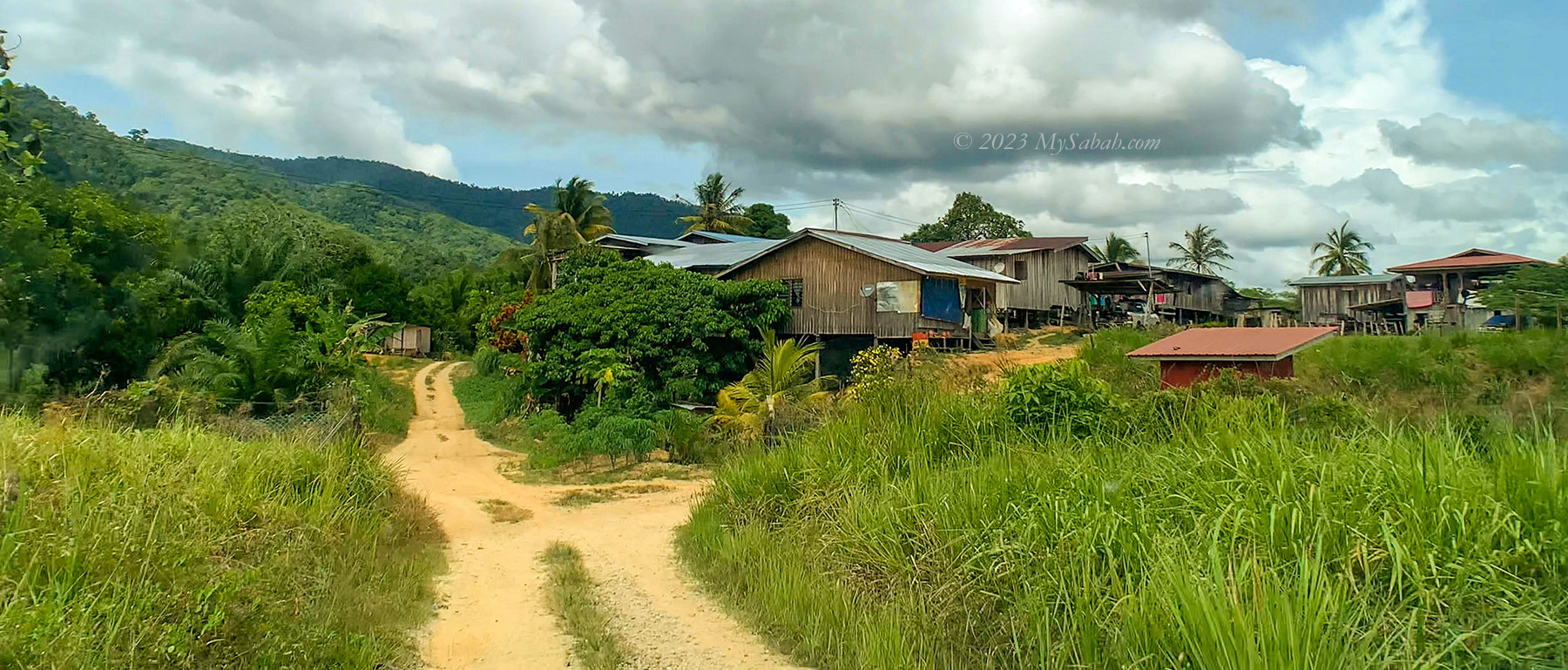
Pungiton Camp
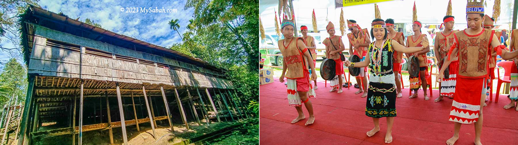
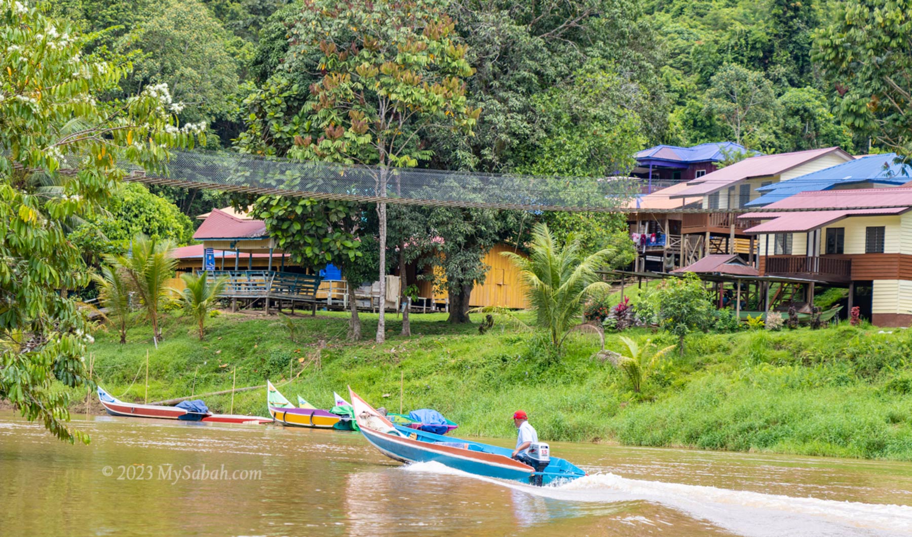
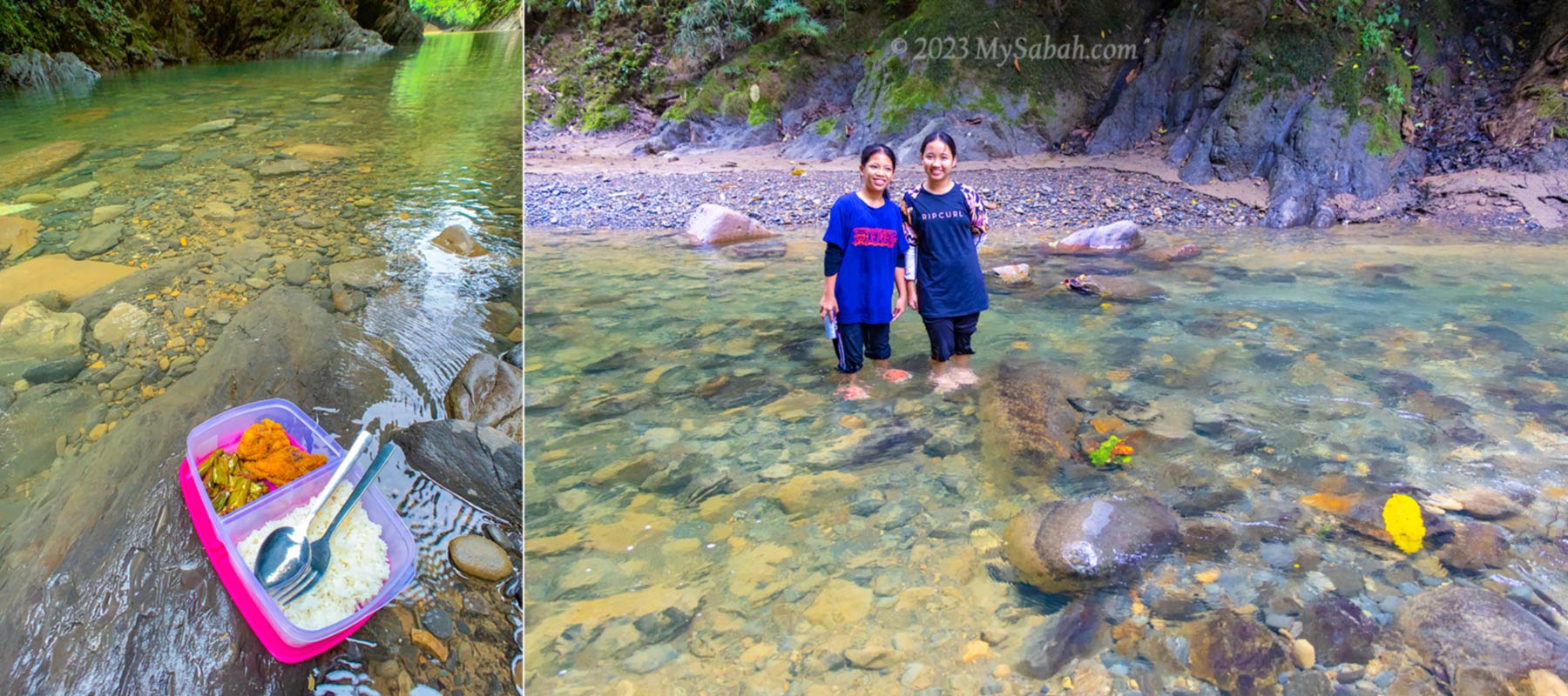
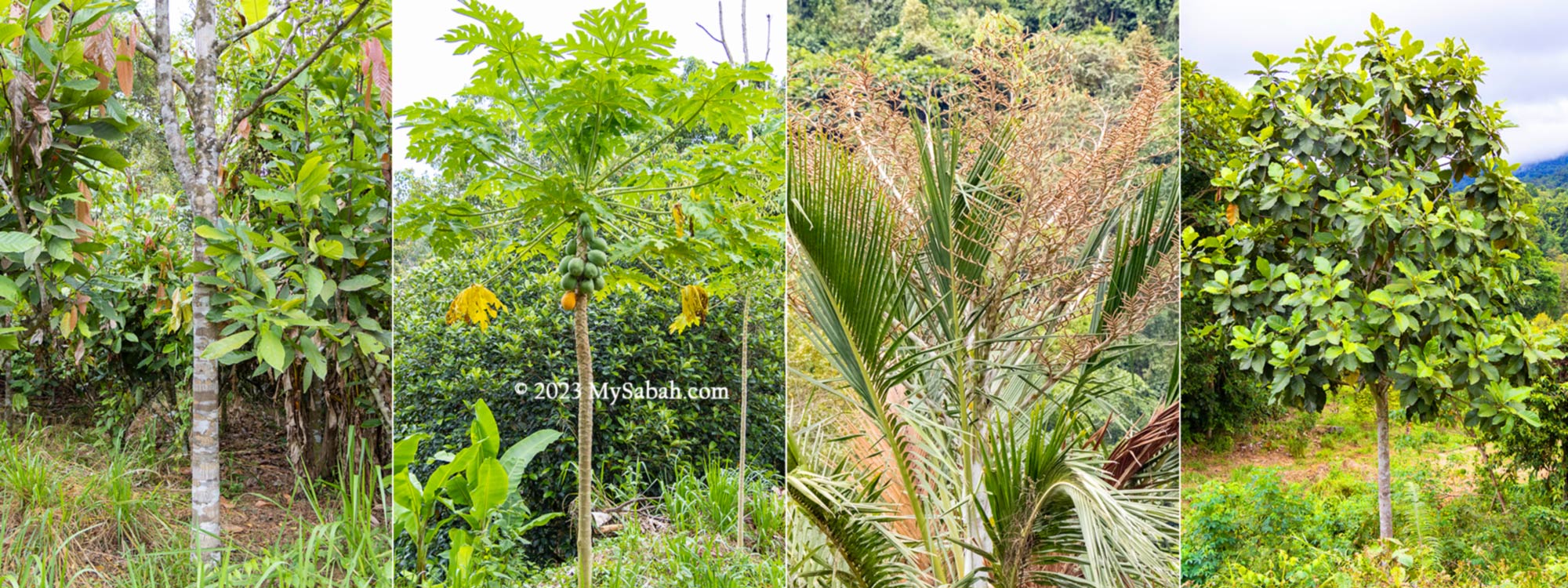
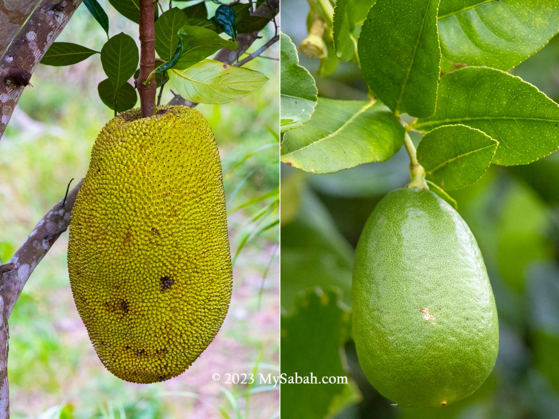
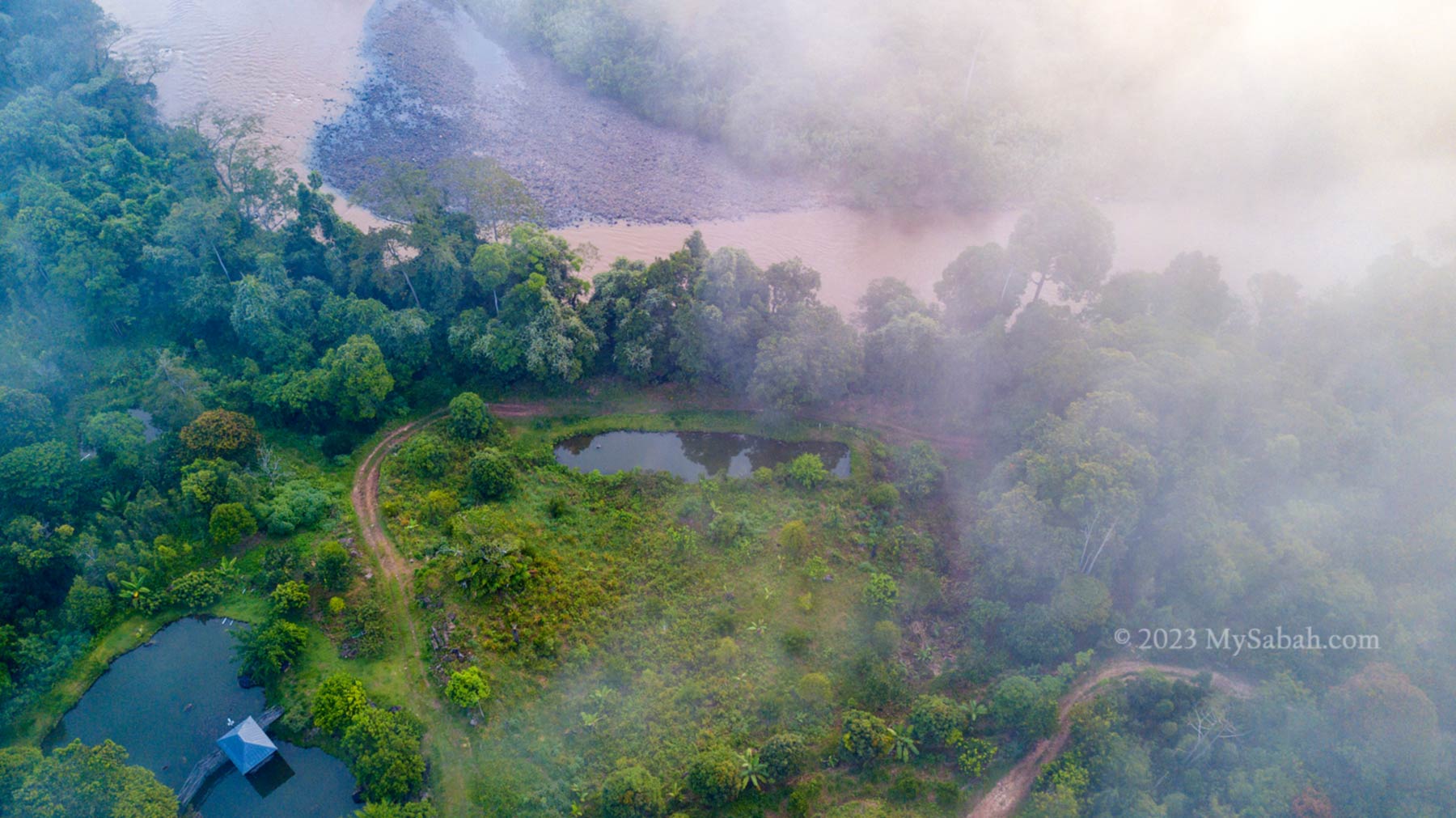
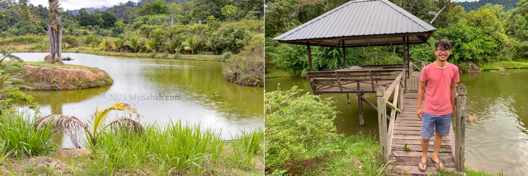
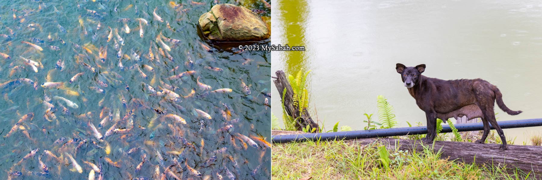
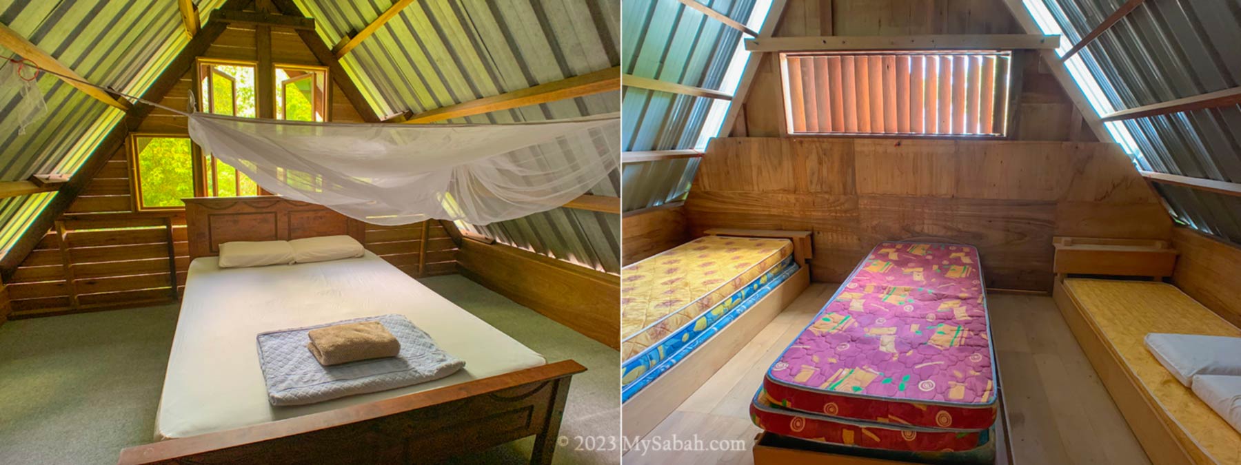
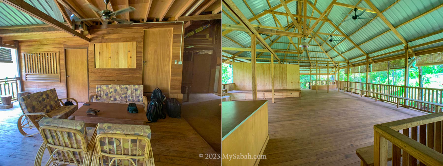
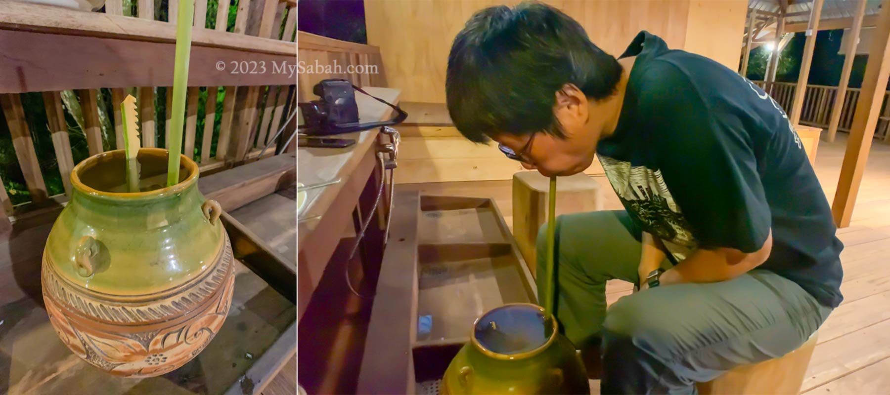
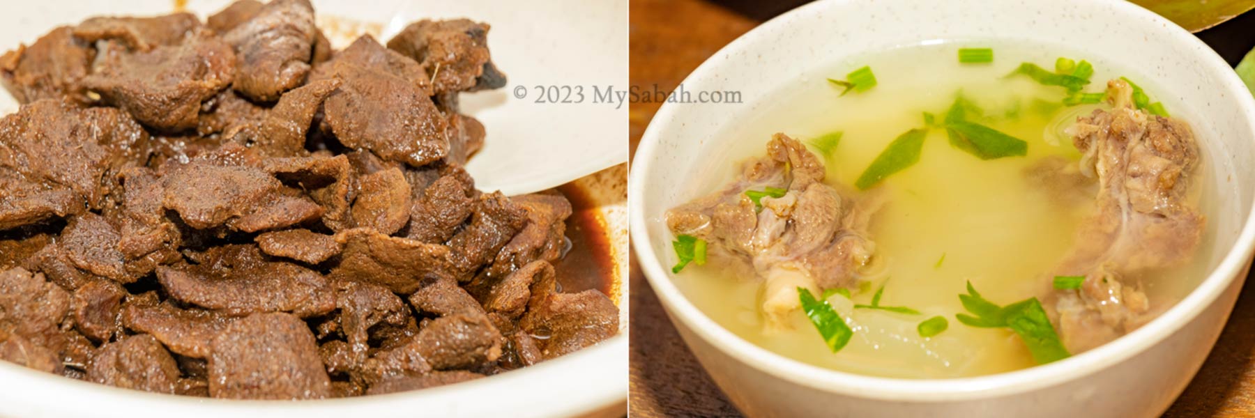
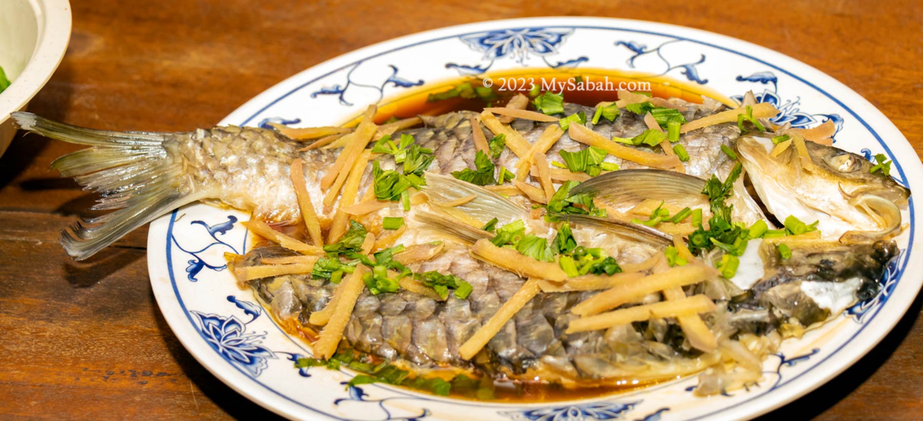
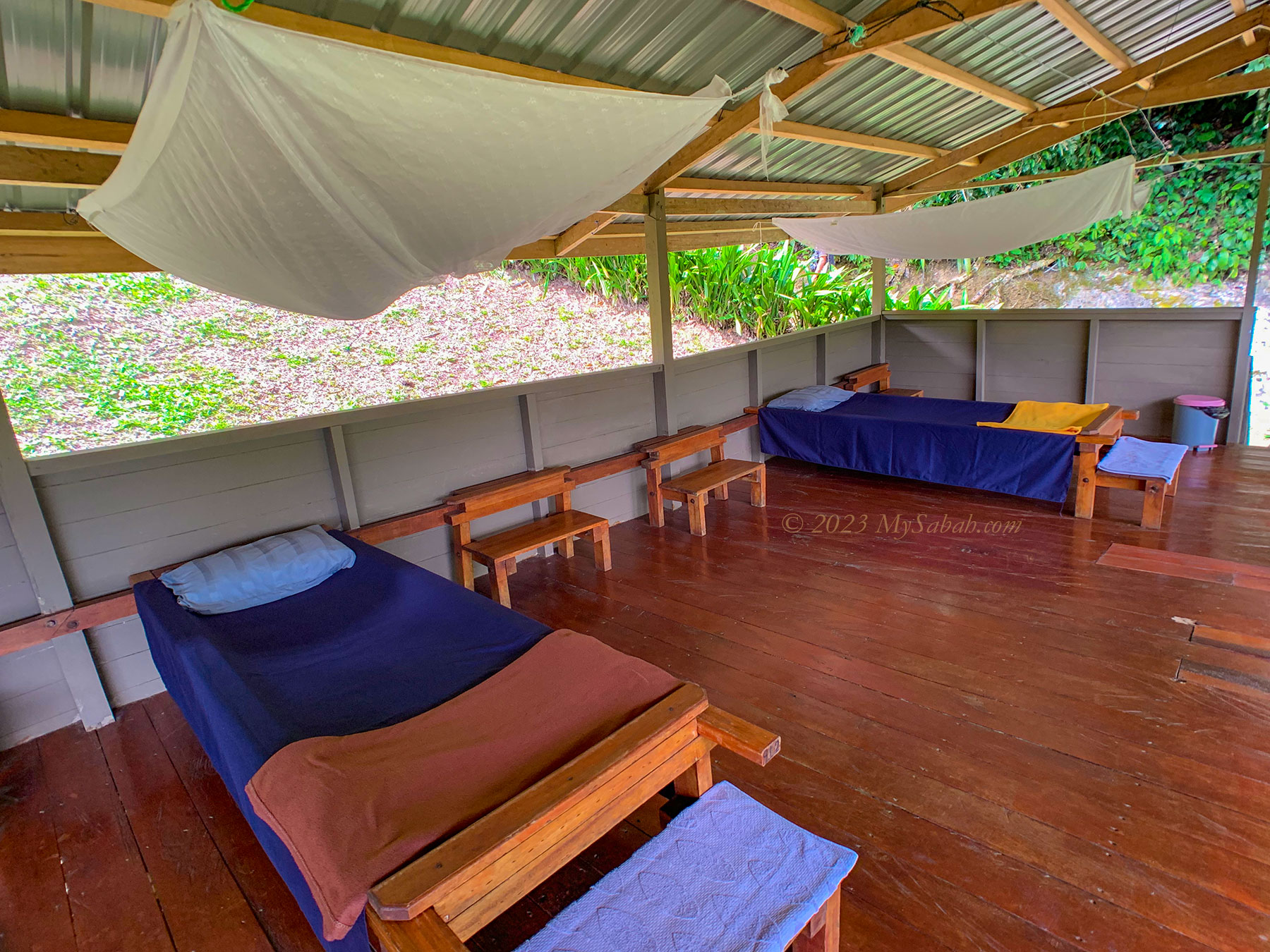
To perfect your caving experience, you can spend a night or two at Pungiton Camp, a longhouse style accommodation near Labang River. Pungiton Cave is only a 15-minute walk away from the camp. After the adventure, you can have a nice meal and shower at the camp. If it’s new moon, you would see Milky Way on the starry sky. The place is warm during daytime but getting cooler in late night.
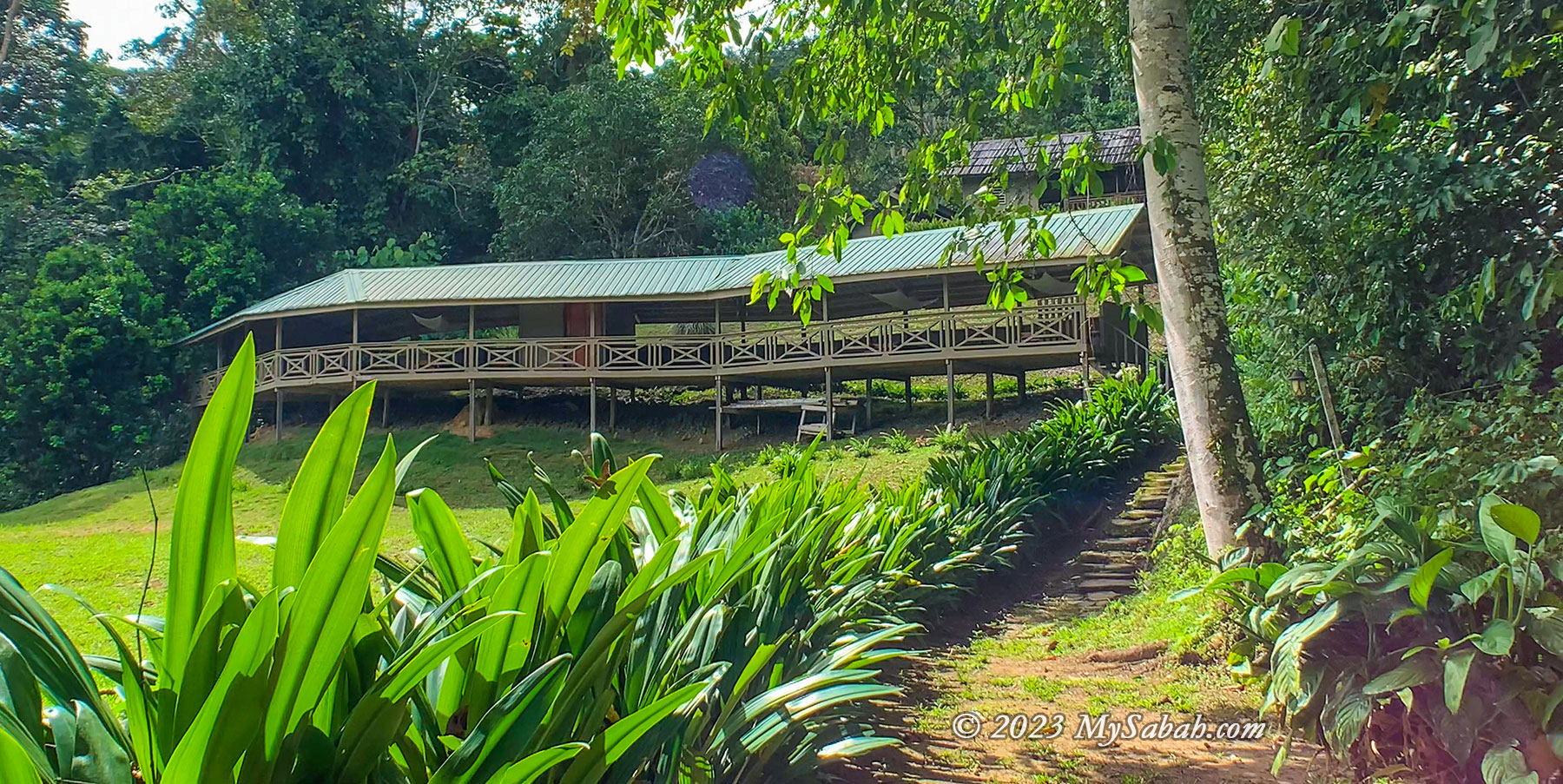
Pungiton Camp can accommodate about 20 people and is equipped with canvas beds (with mosquito net), bathroom (hot shower available!), toilet, and dining area. The sleeping area is an open and corridor-like layout with beds. Electricity is available from evening to early morning, but the power point is only available at dining area.
How to Get There
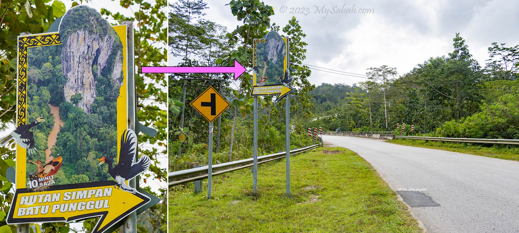
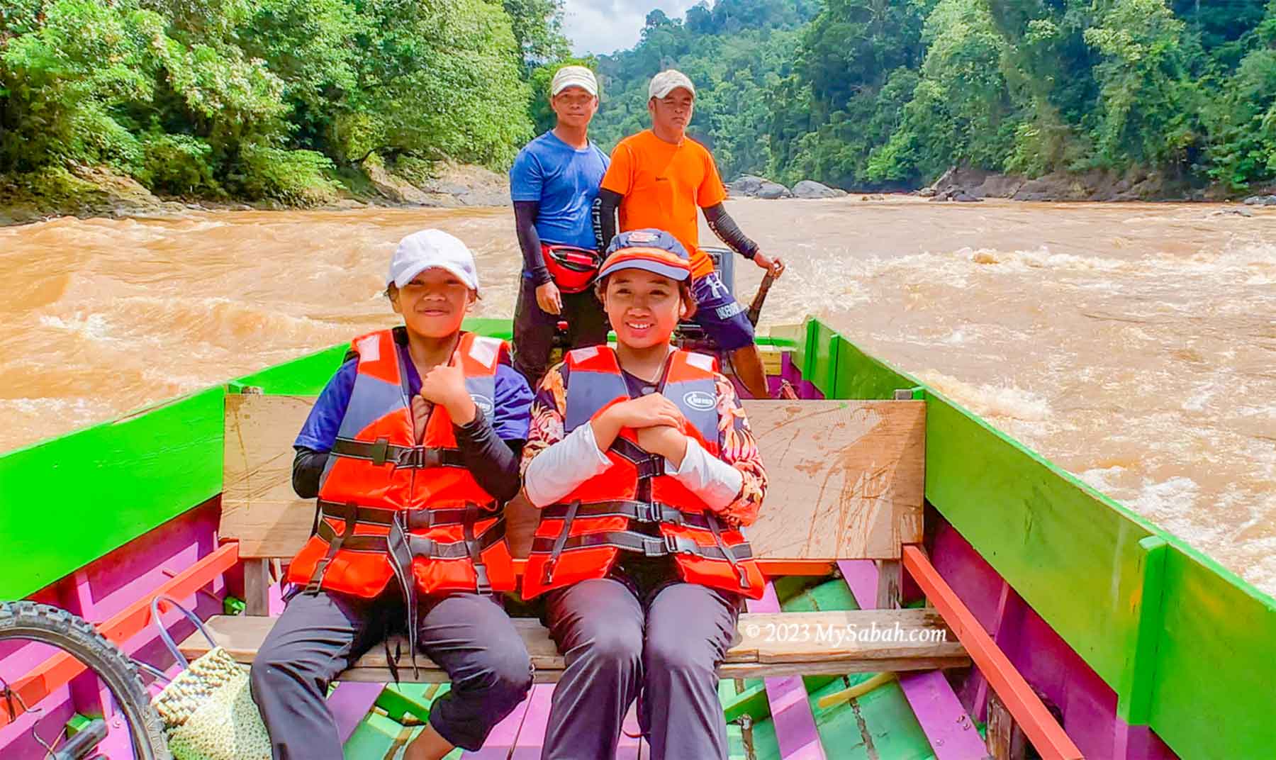
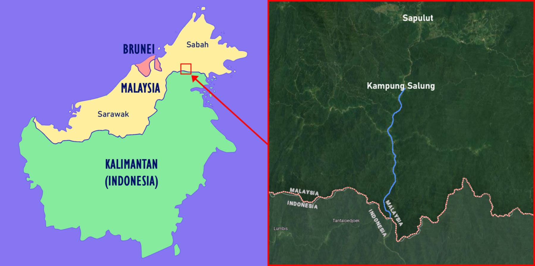
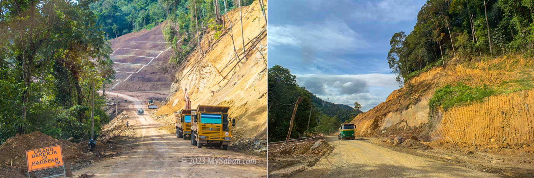
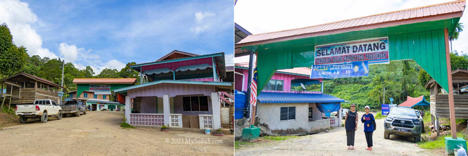
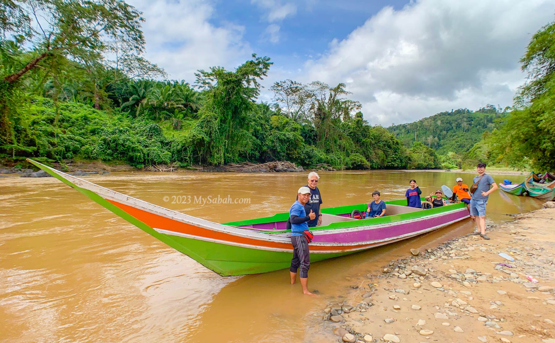
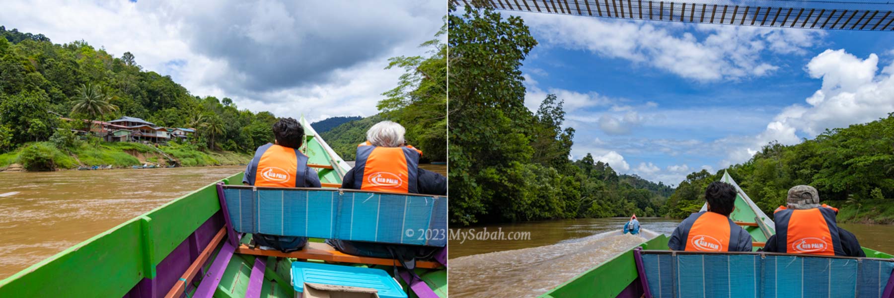
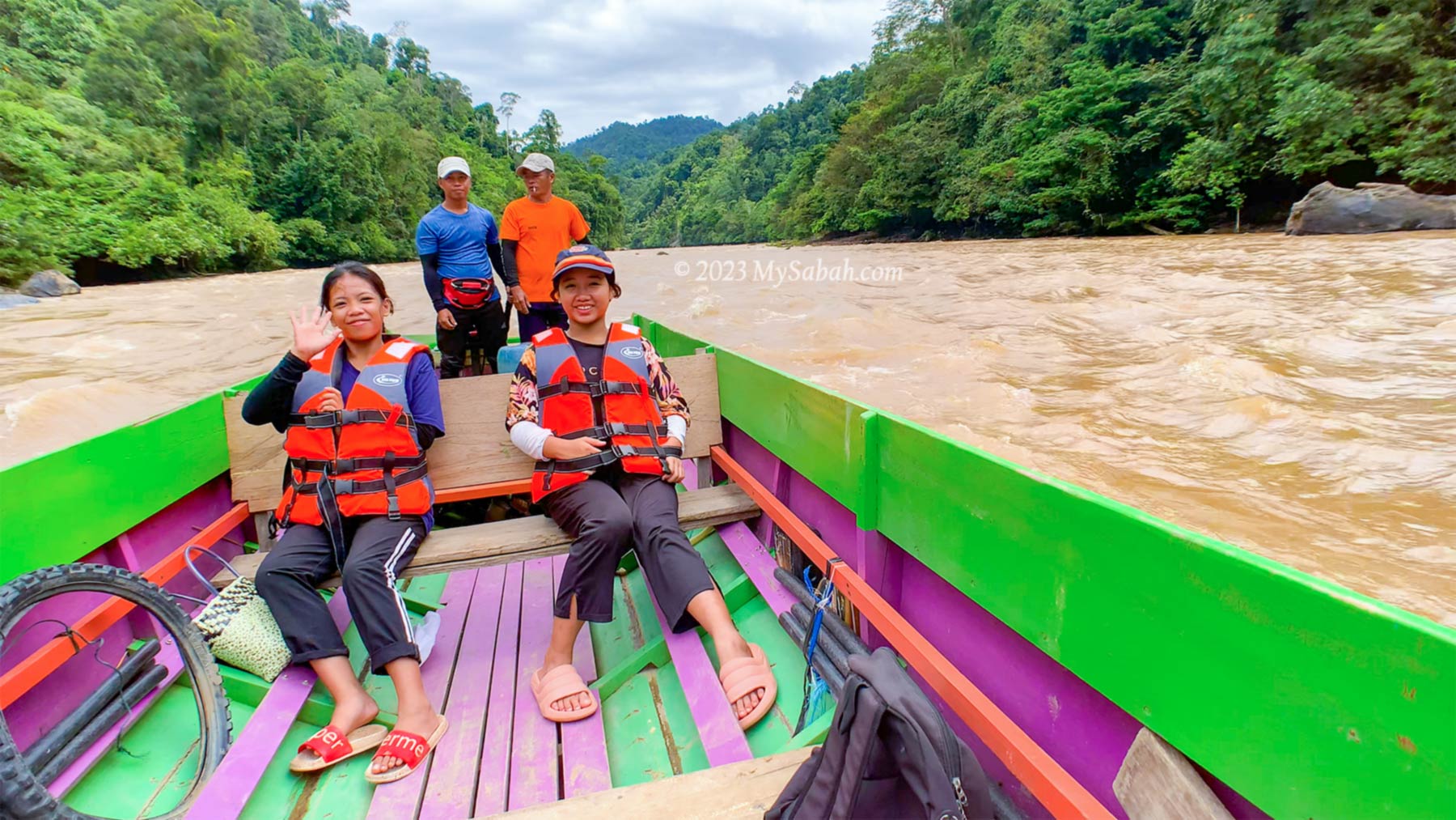
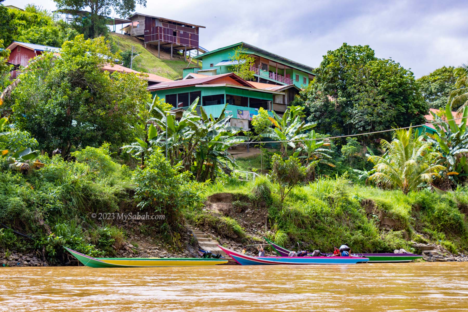
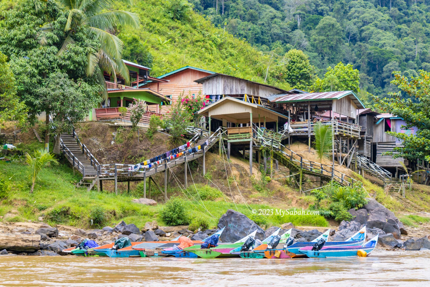
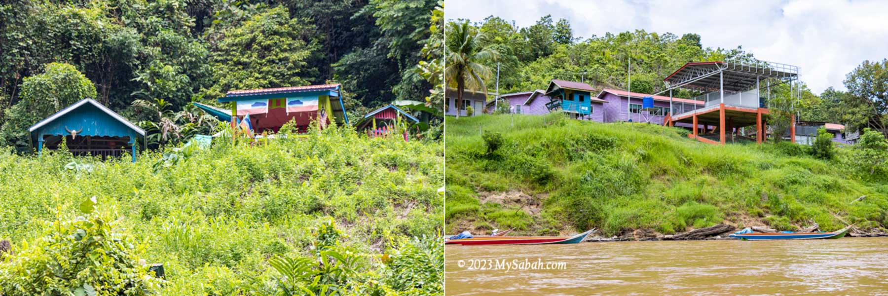
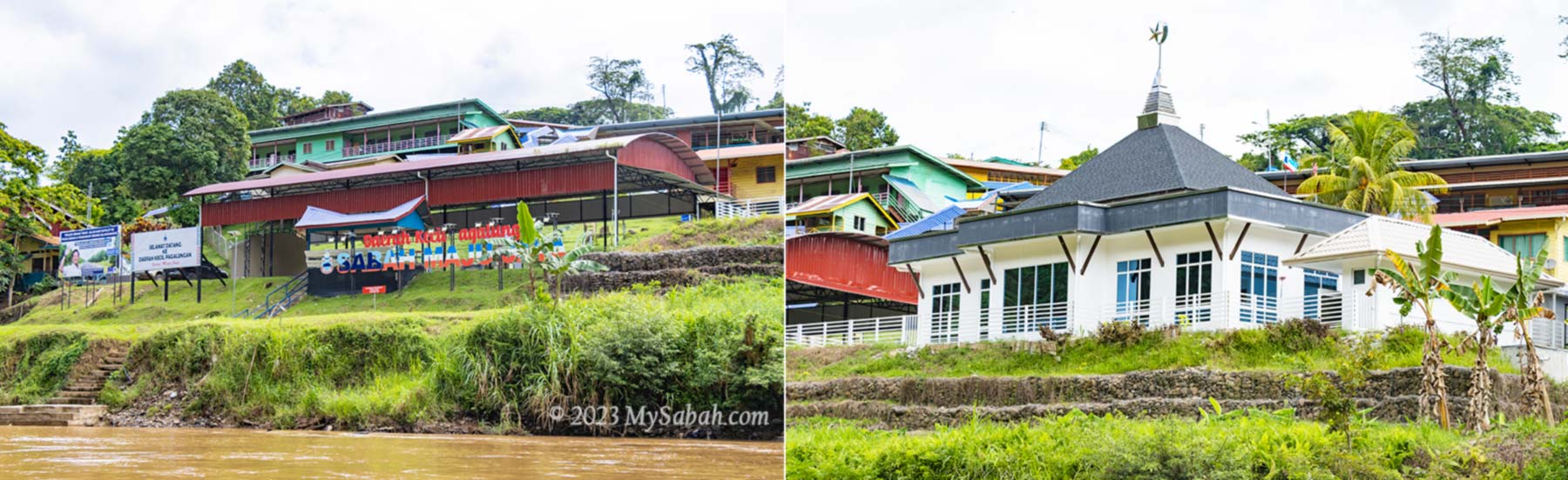
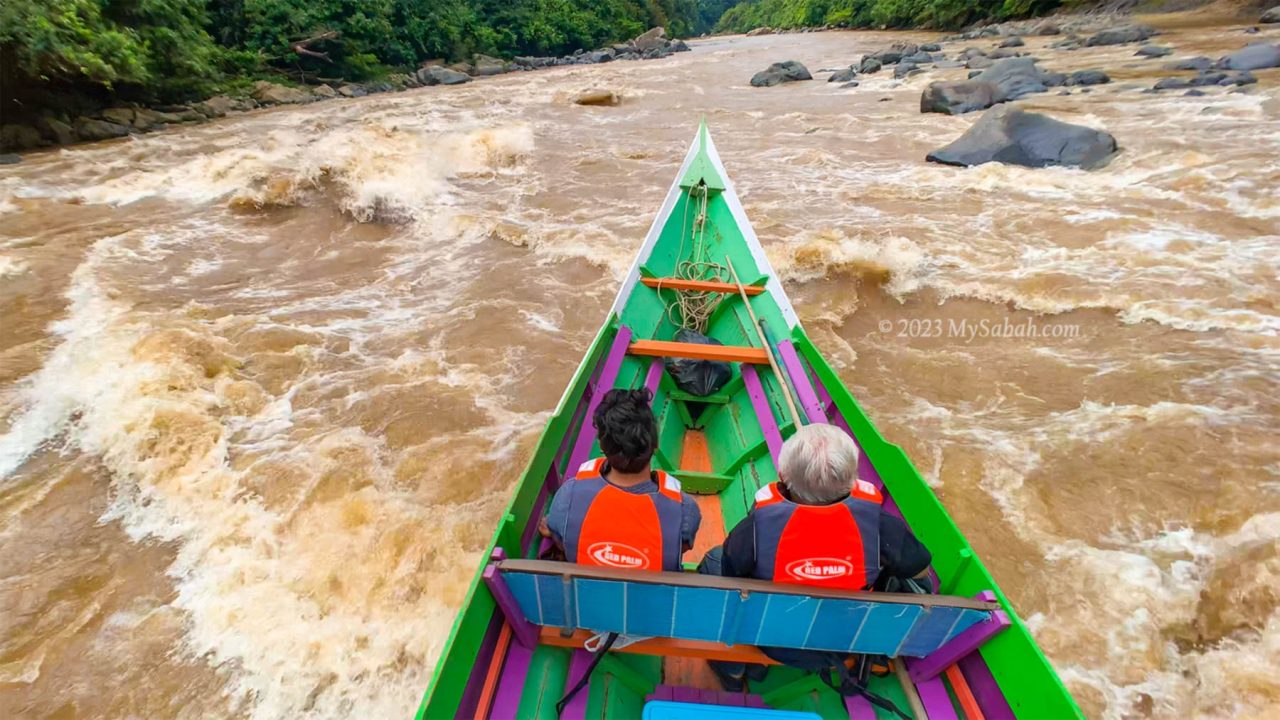
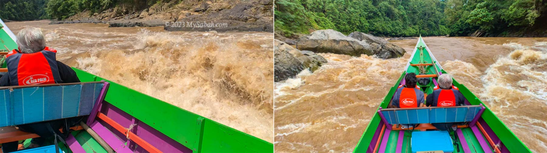
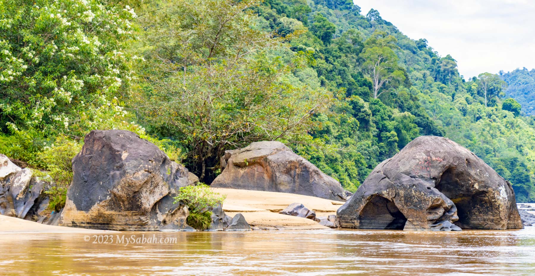
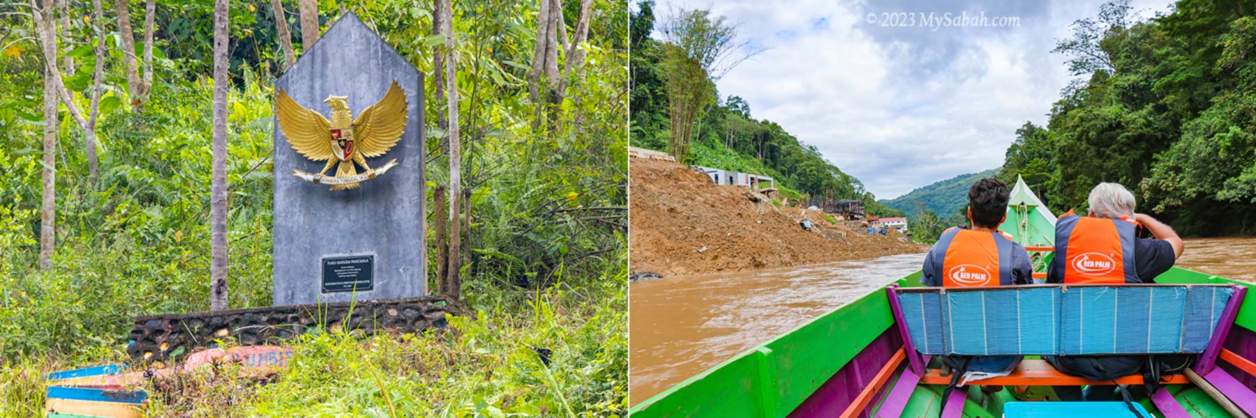
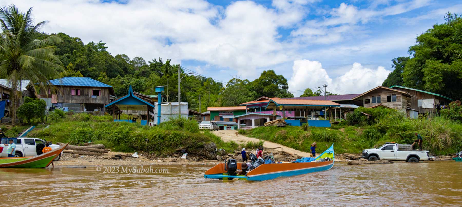
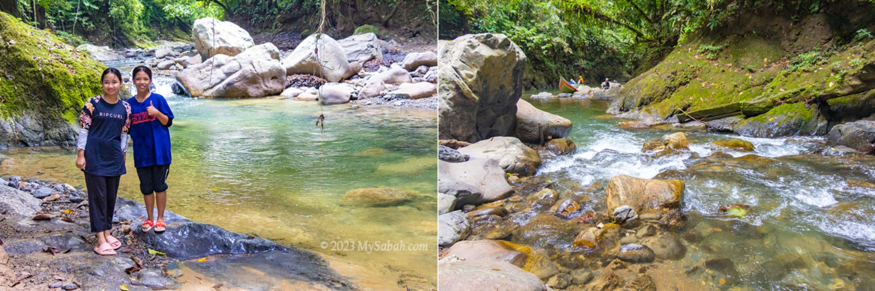
Pungiton Cave is located in Sapulut, a small district of Sabah interior about 110 KM away from Keningau town and 217 KM away from Kota Kinabalu City. Sapulut is accessible by highway between Keningau and Tawau (part of Pan-Borneo Highway).
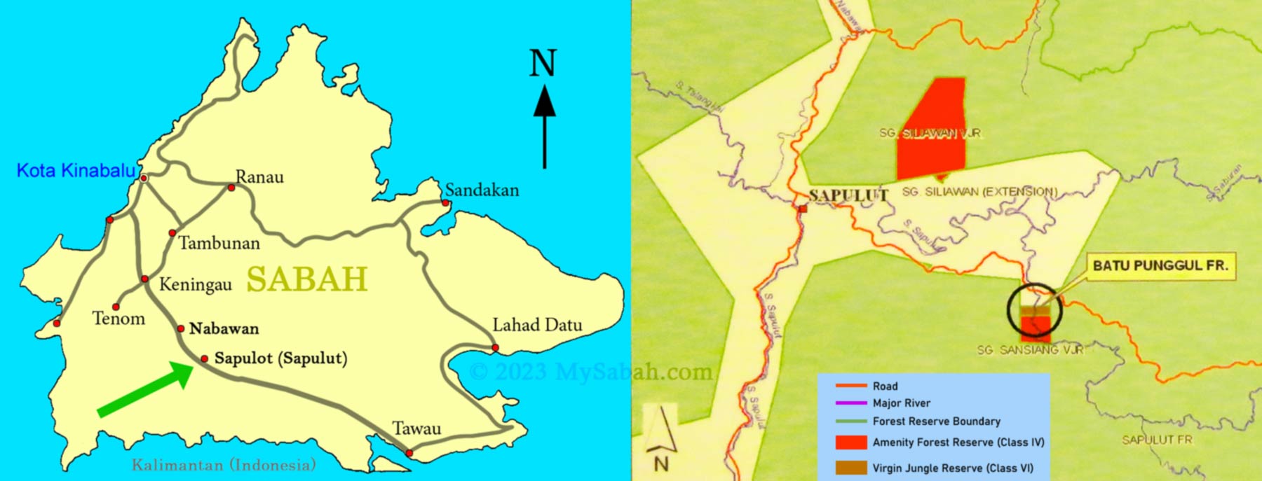
To visit Pungiton Cave, you can contact Borneo Outback Tours Sdn Bhd (Licenses: Co. No. 846369-H / KPK / LN:9247). They will arrange the land & boat transfer and accommodation (Pungiton Camp) for you.
Website: www.borneo.tours
Facebook: orou.sapulot
Instagram: @orousapulot
Phone: +60 19 2277077 (Whatsapp), +60 87 337 277
Address: A-7-2, Apollo Atrium, 89008 Keningau, Sabah, Malaysia
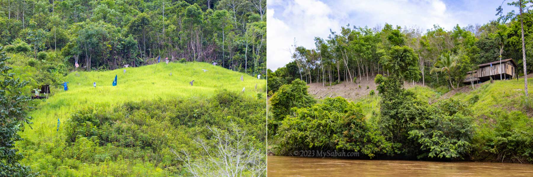
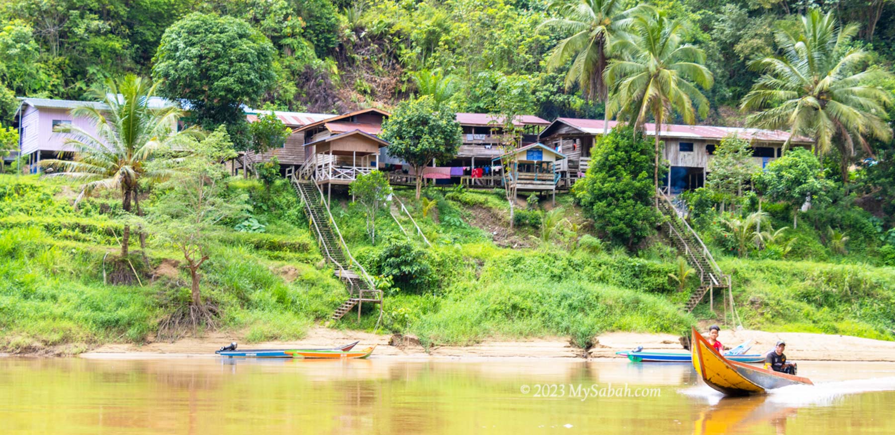
The tourism operations in Sapulut are managed by Orou Sapulot (means the Sun of Sapulot), a community based project to promote tourism and in sustainable manner.
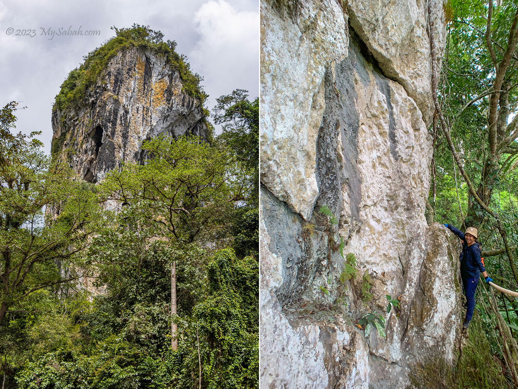
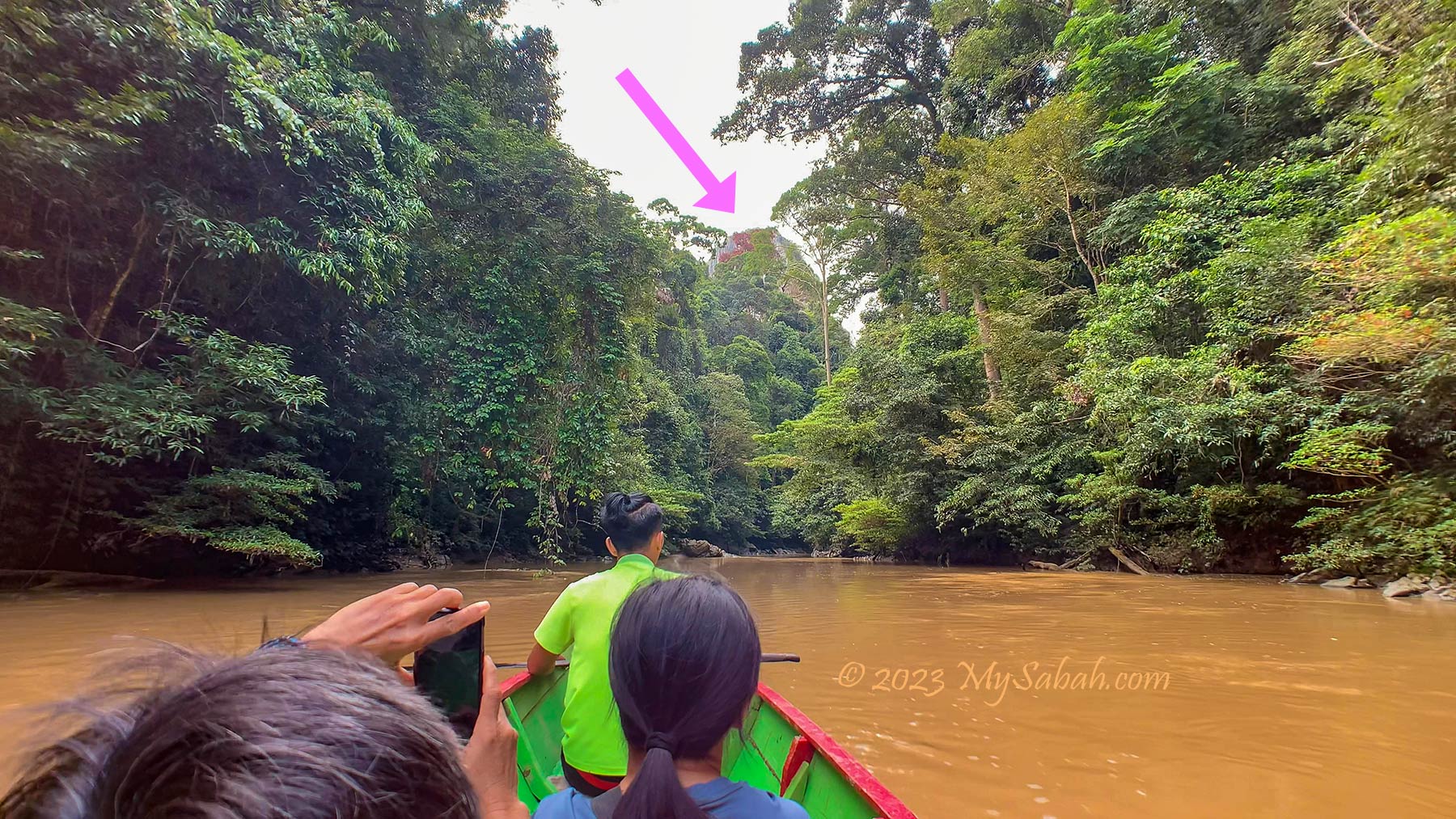
Photos taken in Sapulut , Sabah, Malaysia Borneo